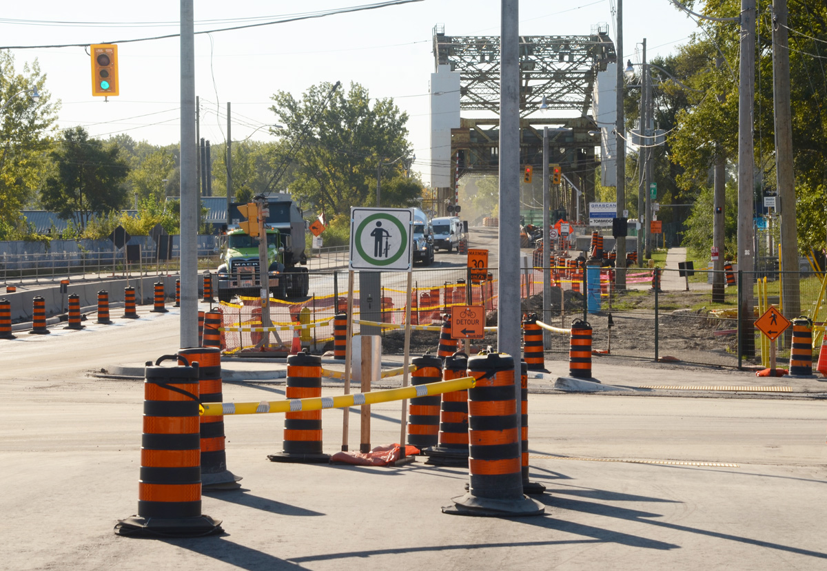
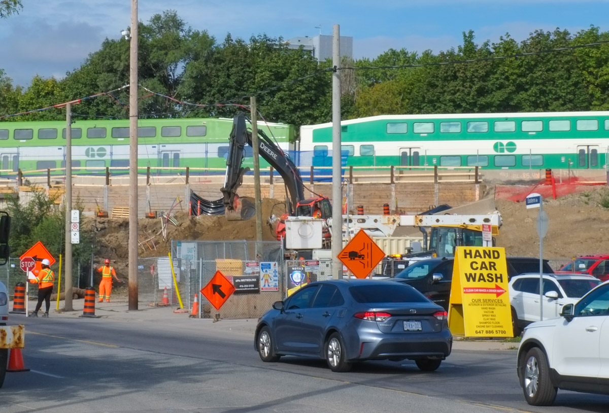
Traffic on Eastern Avenue near Broadview has faced construction and traffic delays over the past few months. The slow downs are ongoing as work on the railway bridge progresses. This work is because Metrolinx is adding tracks to make room for the new Ontario Line. Like many parts of the city, there are many changes occurring in the area.
Demolition on the north side of Eastern, and poof, gone, one large 5 storey Self Storage facility at 356 Eastern. Removed to make way for new tracks. The beige house faces Lewis Street.


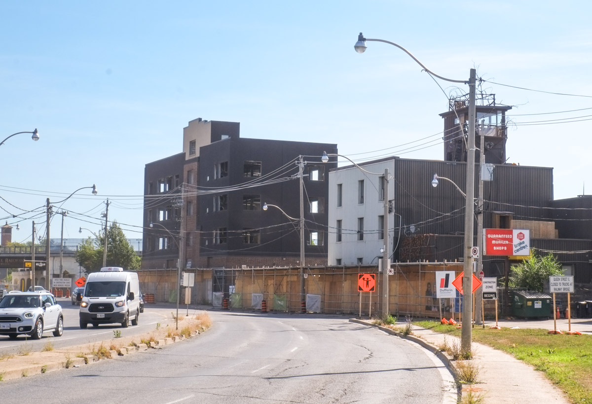
… and now sitting gutted on the south side is another not old building (South side of Eastern Ave between Broadview and the railway tracks).

South side of Eastern, from another angle.
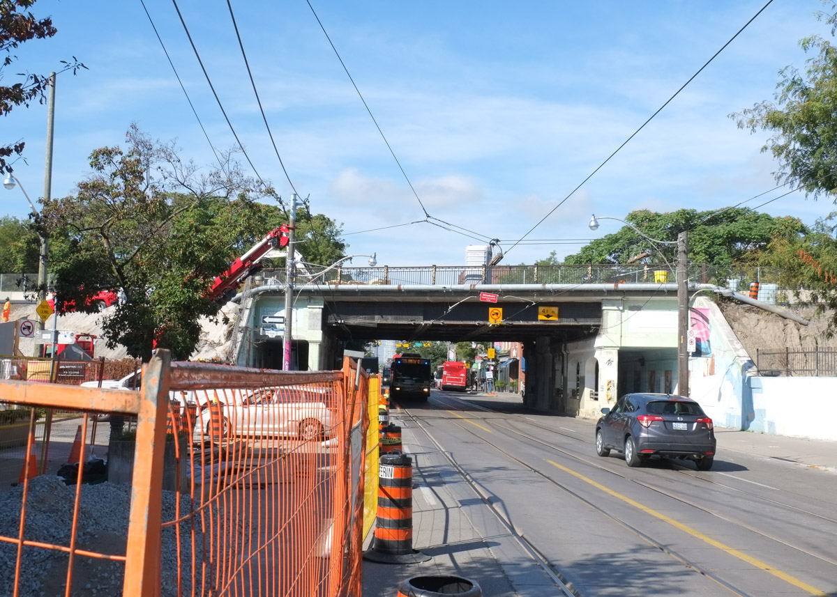
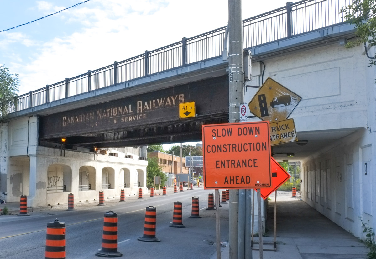
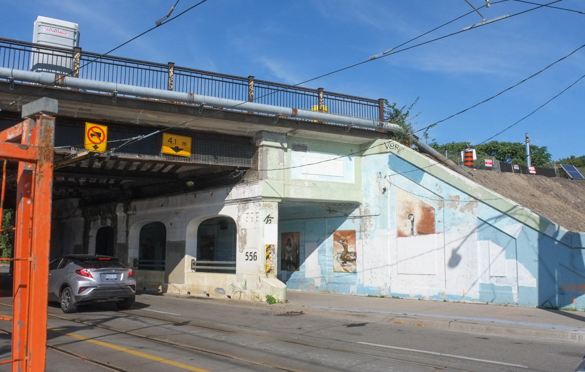
West side approach to the Canadian National Railway bridge

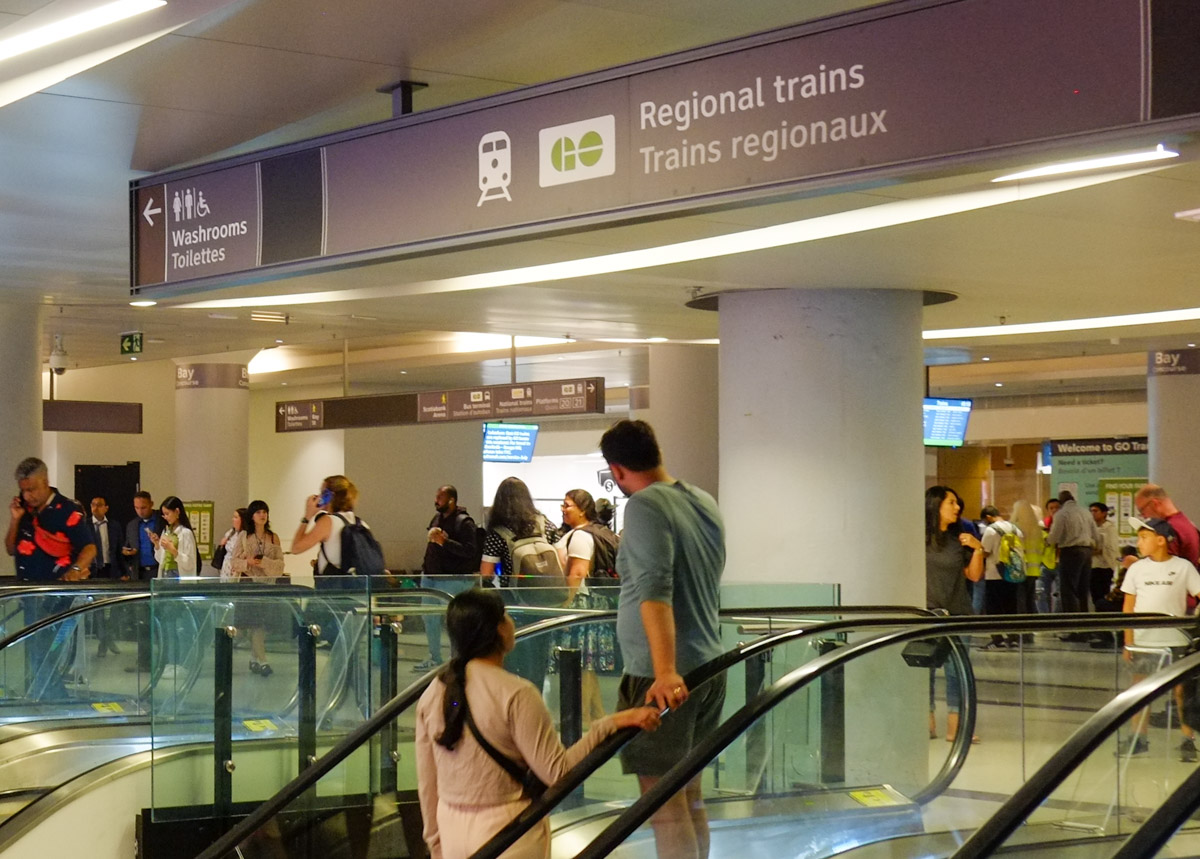
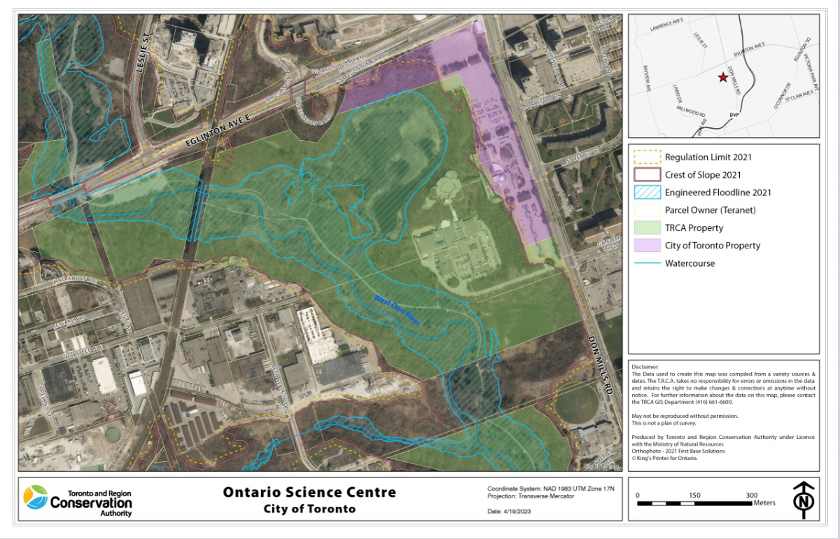
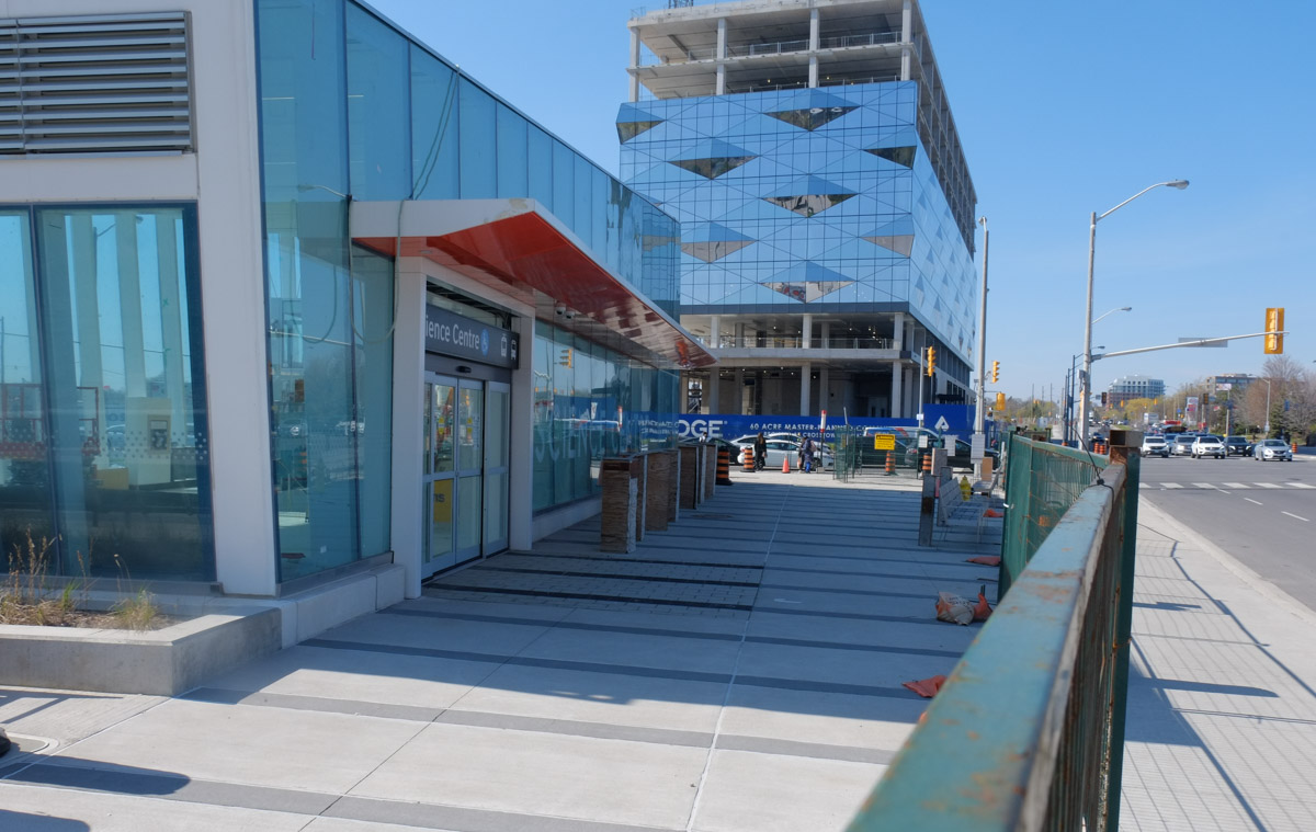
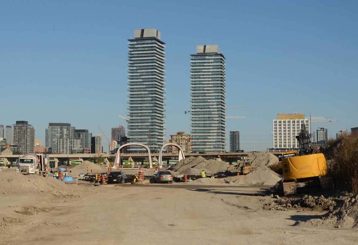
Along with the new railway line, Metrolinx is building what they are calling the East Harbour transit hub. This involves a new Ontario Line station as well as a new GO station on the Lakeshore East and Stouffville GO lines. Eventually, plans are to have TTC streetcars or LRT link here (it is directly south of Broadview and there is a plan to extend Broadview).
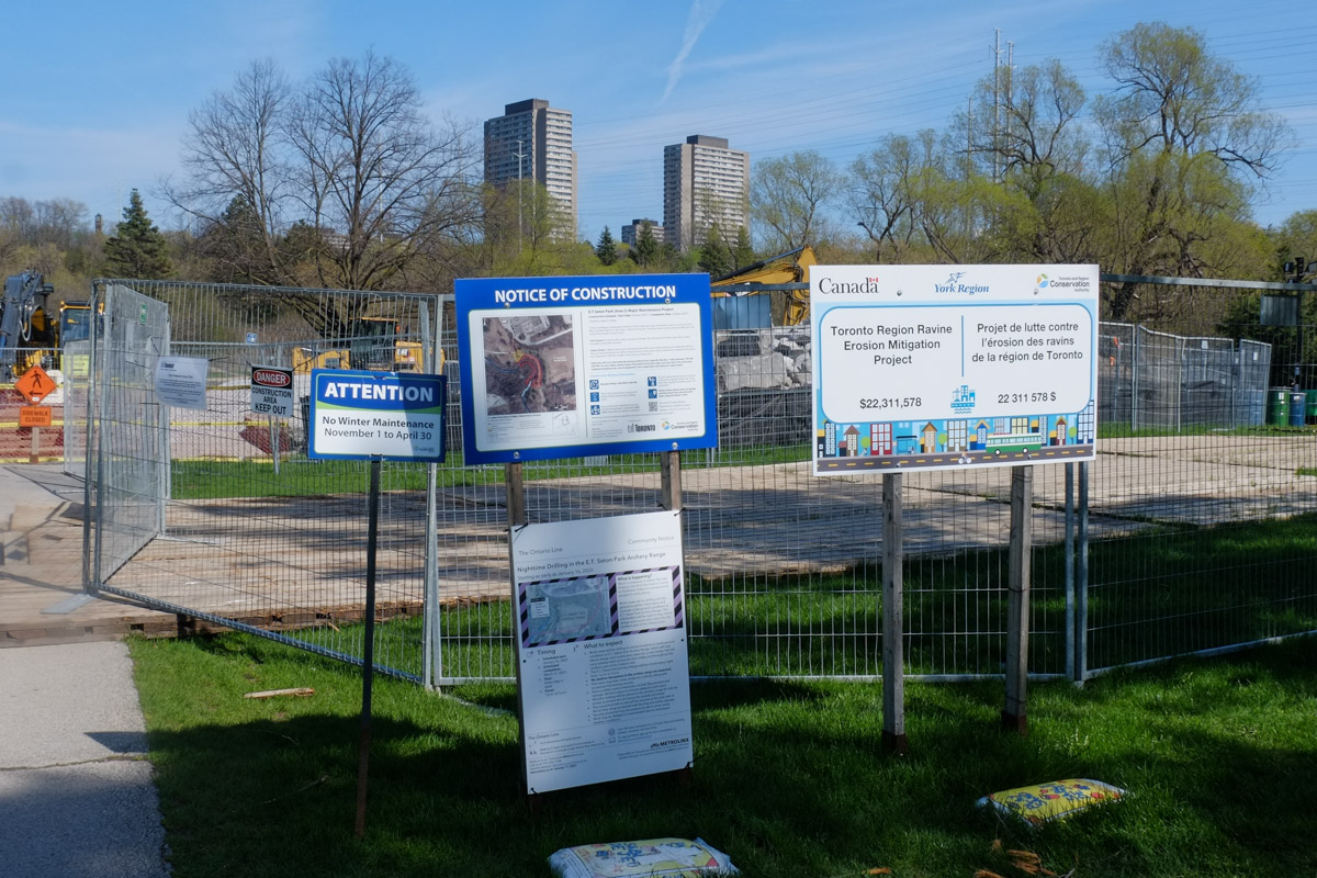
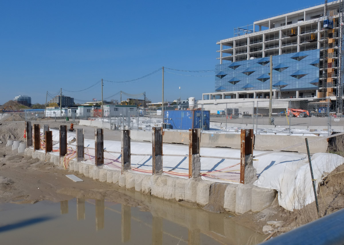
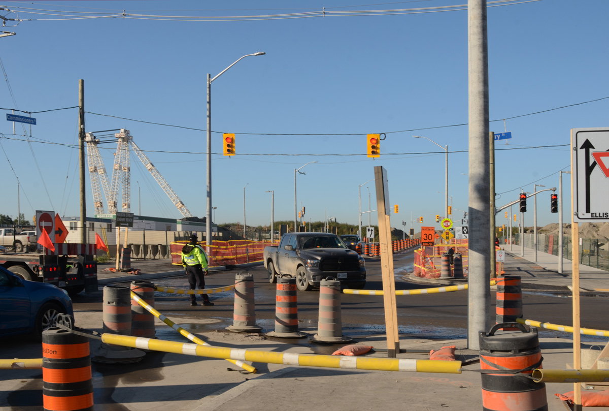
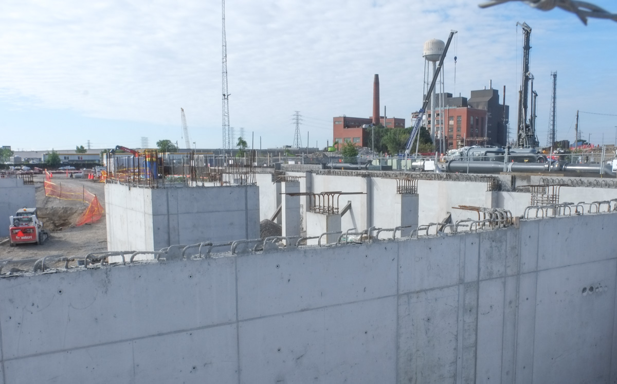
below: Construction along the railway line, south of Eastern Ave


below: One side (the east side) of the railway tracks has been demolished. Ultimately the whole bridge will be replaced but it is being done in stages to allow GO trains and VIA rail trains to continue running throughout the process.

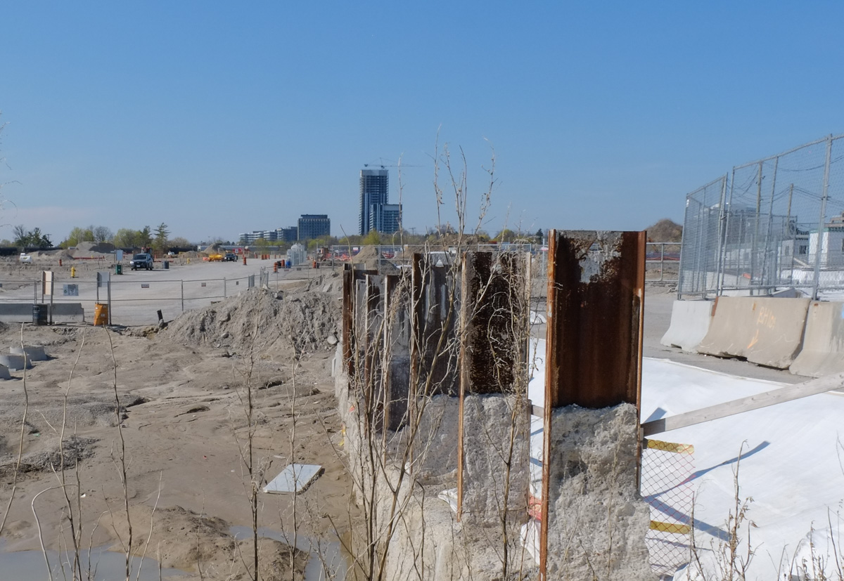
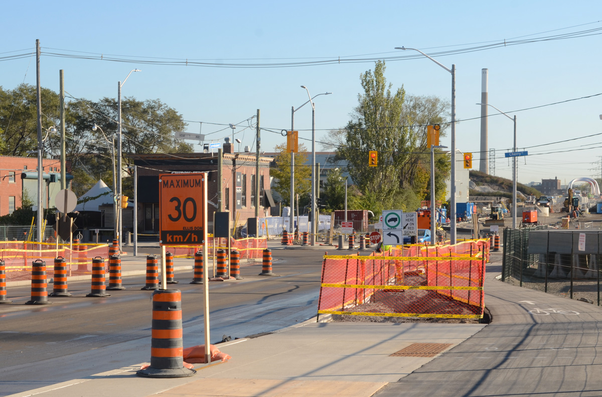
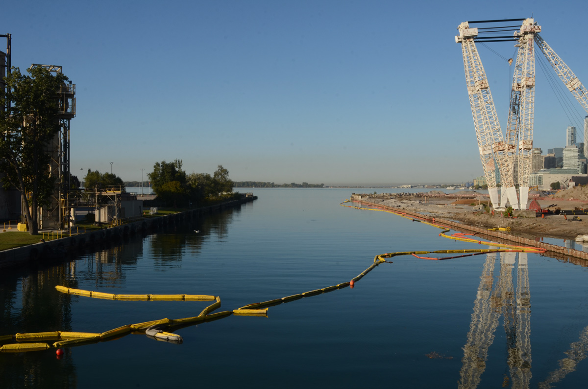
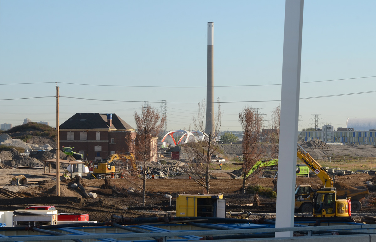
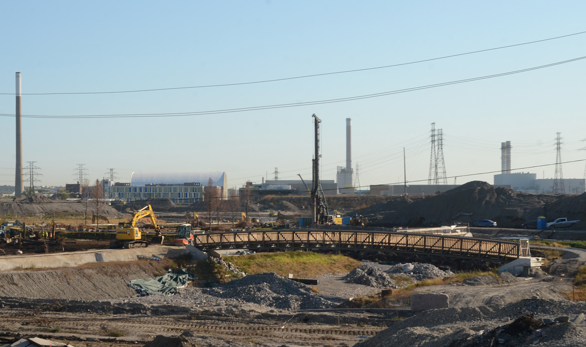
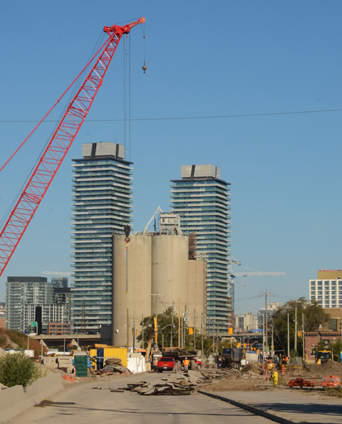
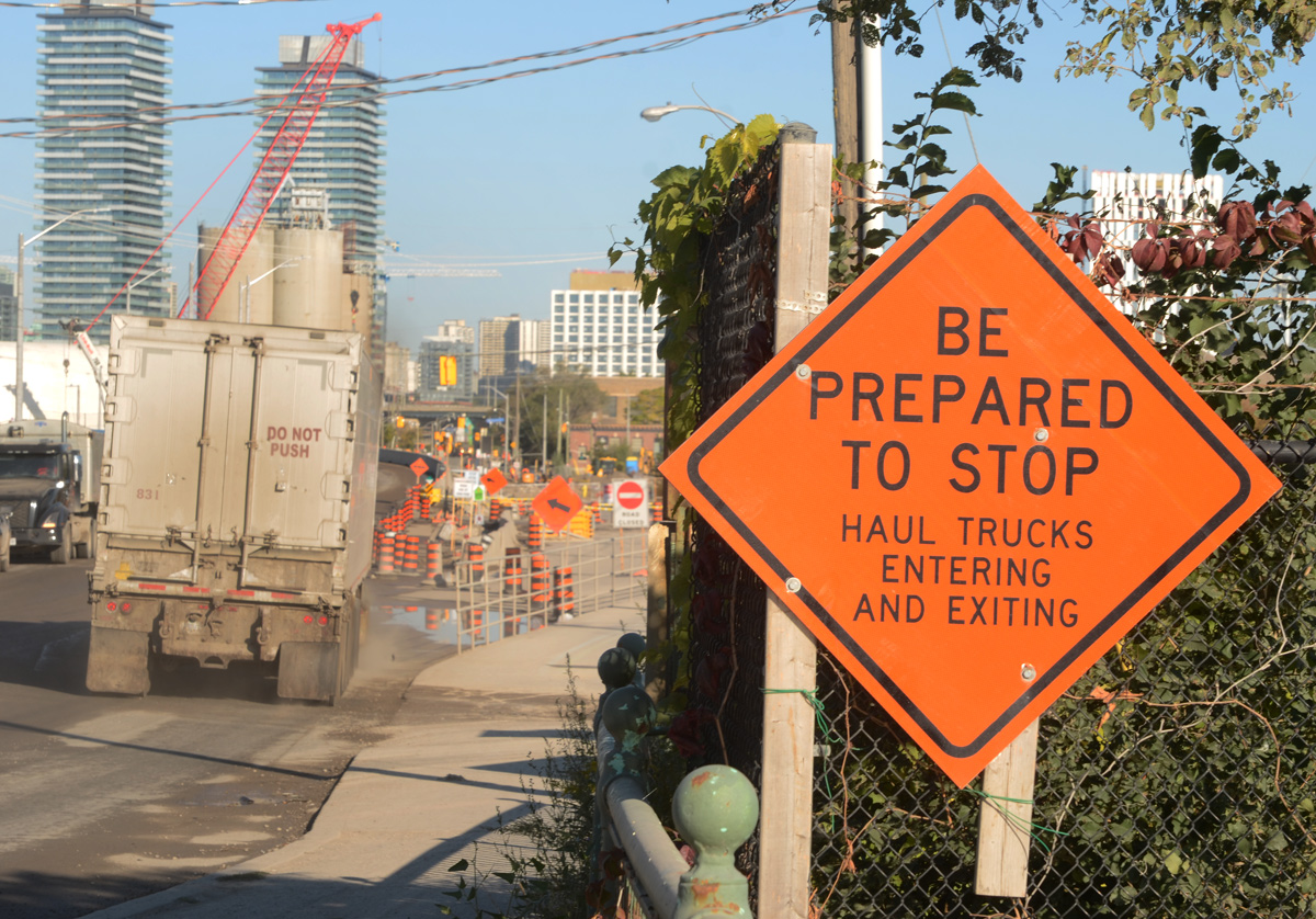
A constant flow of dump trucks back and forth, in and out, of the construction site south of Eastern (on both sides of the railway tracks). The 38 acre site that includes the old Lever Bros (Ponds, Sunlight etc) soap factory is being redeveloped at the same time – it extends south to Lakeshore and west to the Don River.


Looking west on Eastern Ave, back towards downtown.


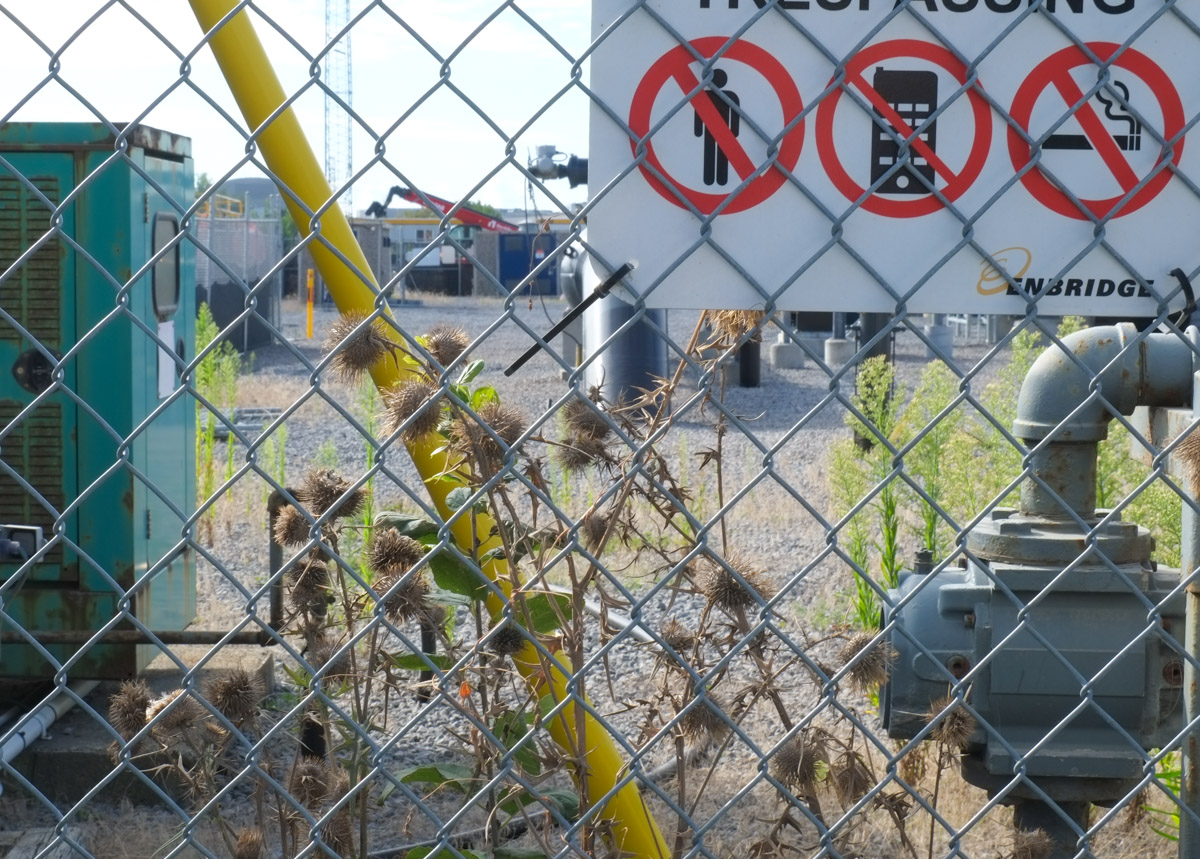
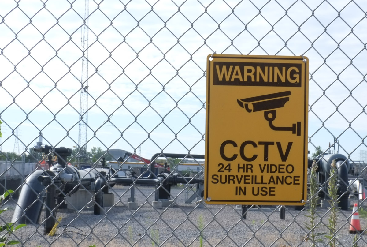
405 Eastern Ave, immediately east of the railway bridge, is also under construction. It has nothing to do with transportation as it is a new Enbridge building. A large 3 storey building with both offices and industrial (computers?) will probably be built here.
Makes sense, gas pipelines on site.
Just north of Eastern Ave, the railway tracks cross Queen St East., crossing over a bridge of the same style and vintage. Once upon a time this was a level crossing with a railway station on the northwest corner, the Riverdale station on the Grand Trunk Railway. This is soon to be the location of the Riverside Leslieville station on the not yet built Ontario Line.


So far the bridge is still intact but it too will be completely changed by the time Metrolinx is finished. The station itself will be on the bridge (if their drawings & plans are to be believed).
Here there will be 6 tracks – 4 for GO Transit and 2 for the Ontario Line.