subtitle: A little wander down King Street East (and area) with a look at both the past and present .
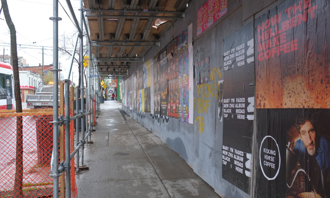
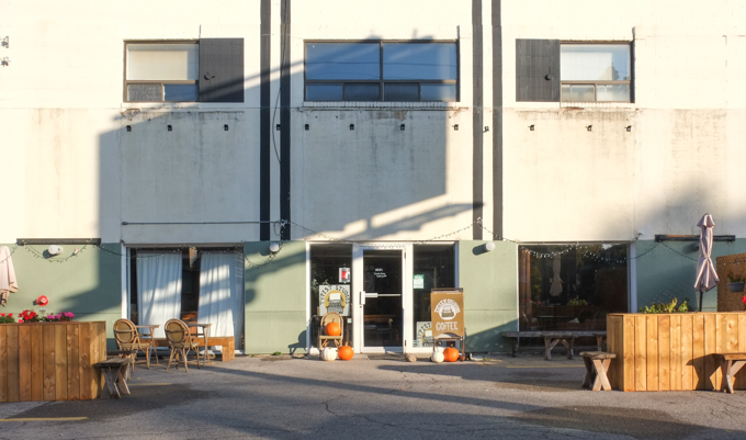
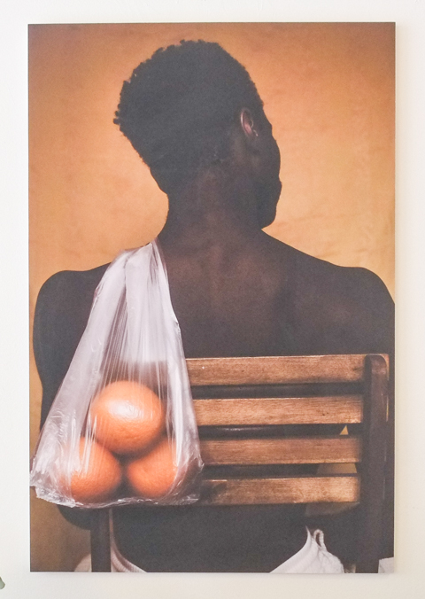
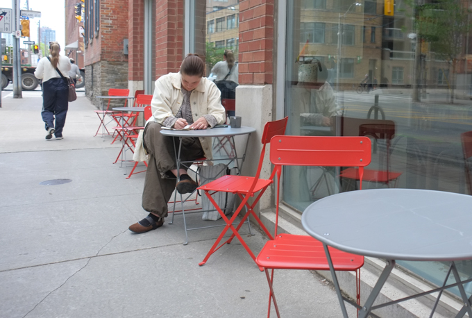
…Starting with a cup of coffee and a CONTACT exhibit – photos by Jamaal Owusu-Ansah titled “Hints of Orange” at the Black Canary coffee shop on Sherbourne Street just north of King, showing until 5th June (but coffee and goodies still available after that!)

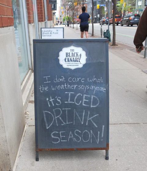
“I don’t care what the weather says anymore, It’s iced coffee season”
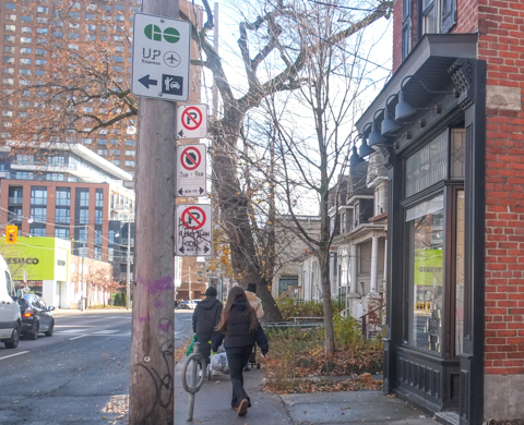
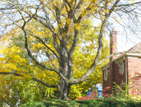
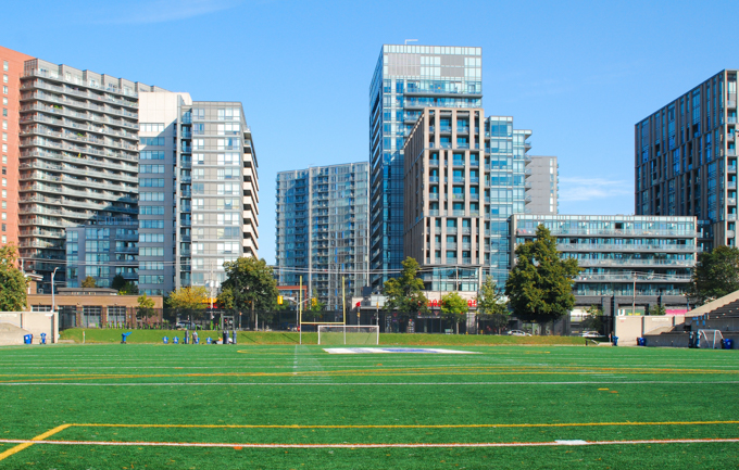
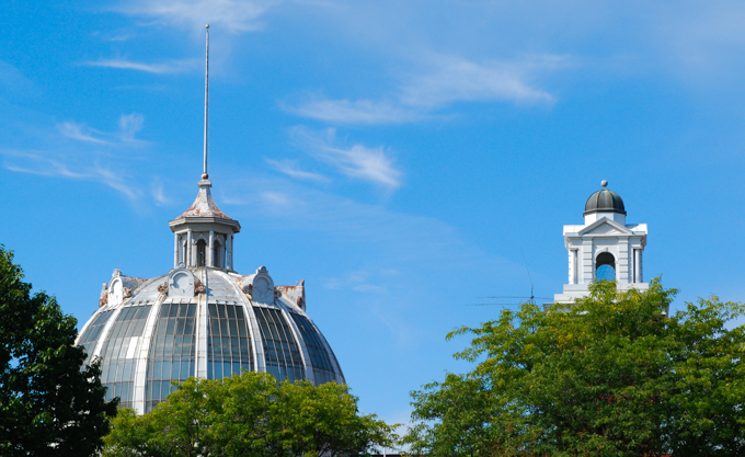
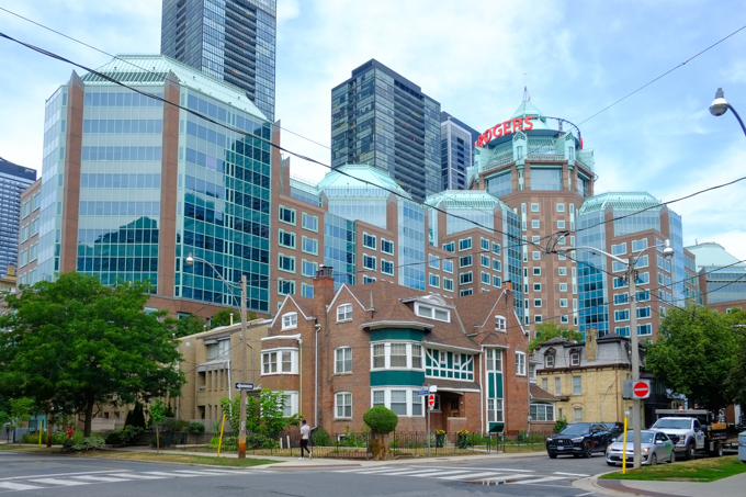
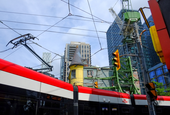
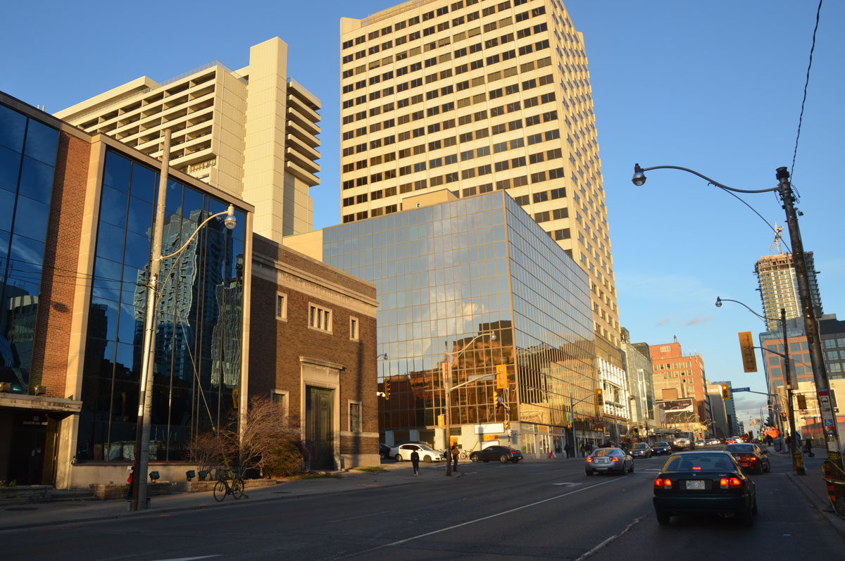
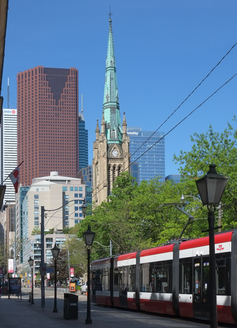
below: Looking west on King from Jarvis with the steeple of St. James Cathedral rising above.
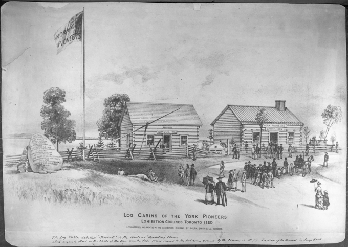
below: King Street has been a vital part of Toronto since the beginning. It was one of the original roads laid out in the late 1790s in the Town of York (which became Toronto in 1834). At that time it ended at Berkeley Street.
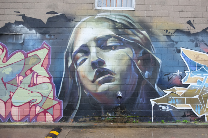
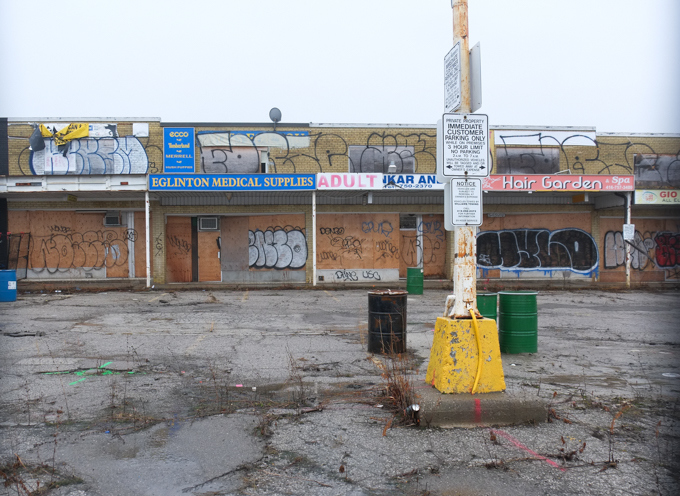
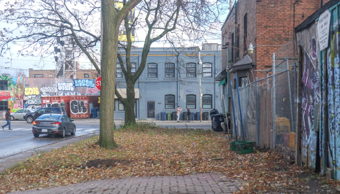
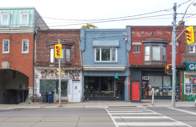
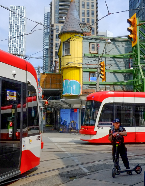
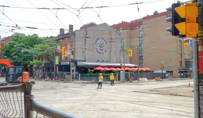
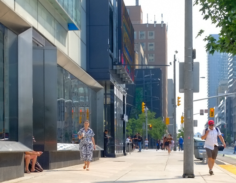
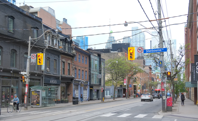
below: south side of King street, looking west from Sherbourne
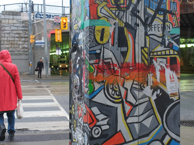
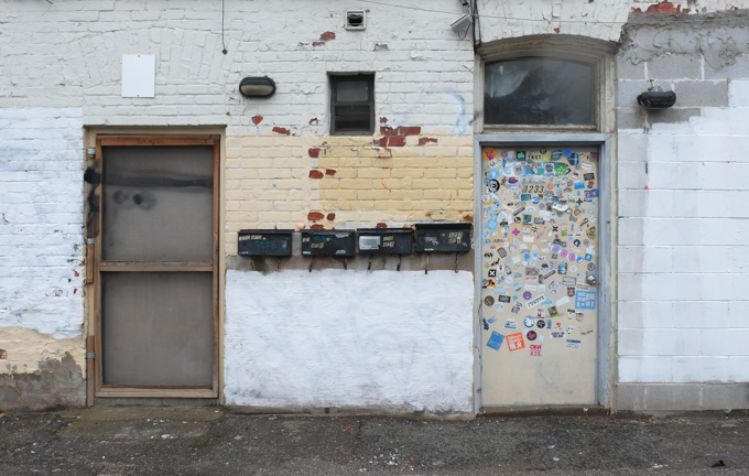
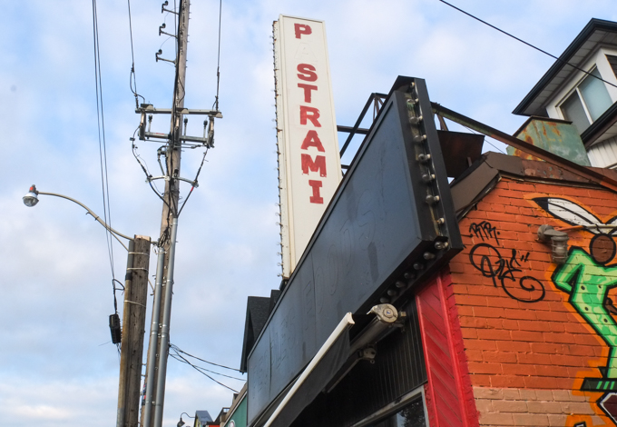
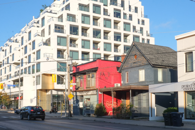
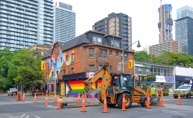
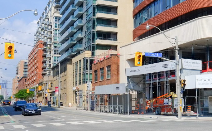
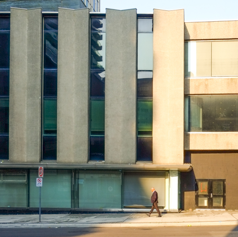
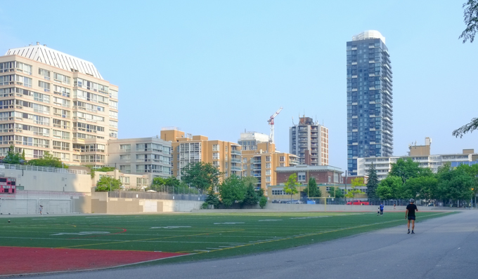
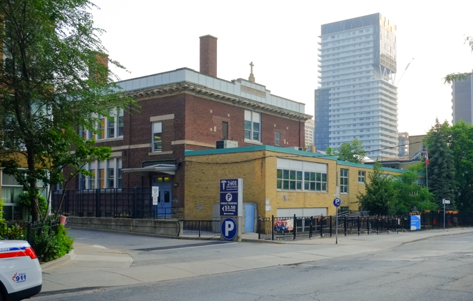
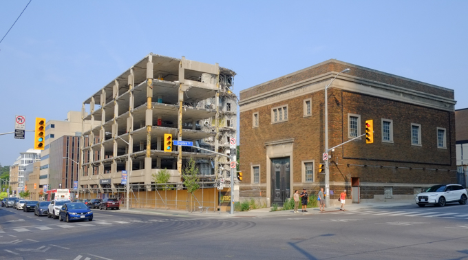
below: The southwest corner of King and Sherbourne streets.
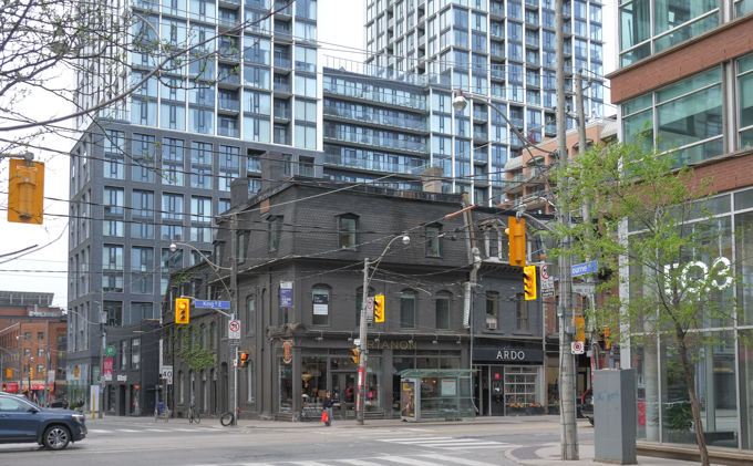
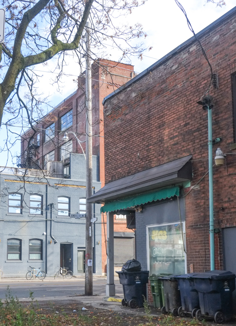
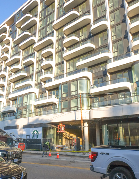
below: More views of the King and Sherbourne intersection – this time the northeast corner with the newer condos rising above. The old bank building became part of those condos.
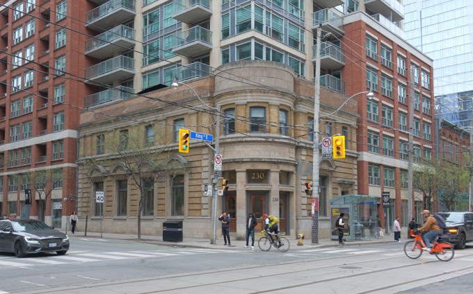
below: In 1972 when this photo was taken, 230 King Street East was a branch of the Canadian Imperial Bank of Commerce (CIBC). It was built in 1908.
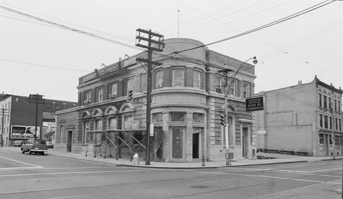
Photo from City of Toronto Archives, Fonds 2032, Series 841,
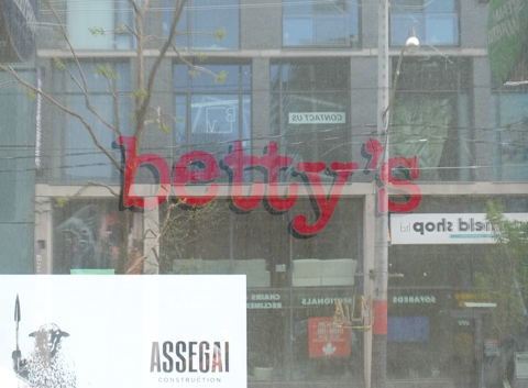
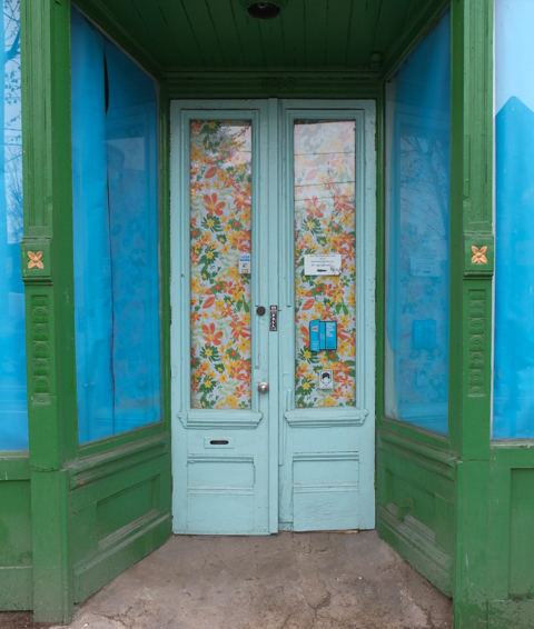
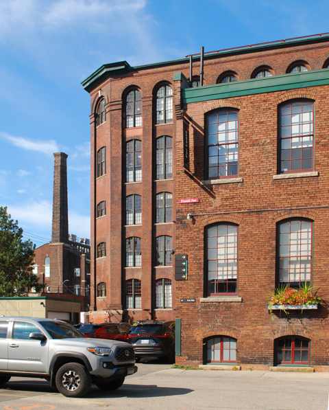
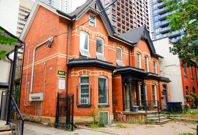
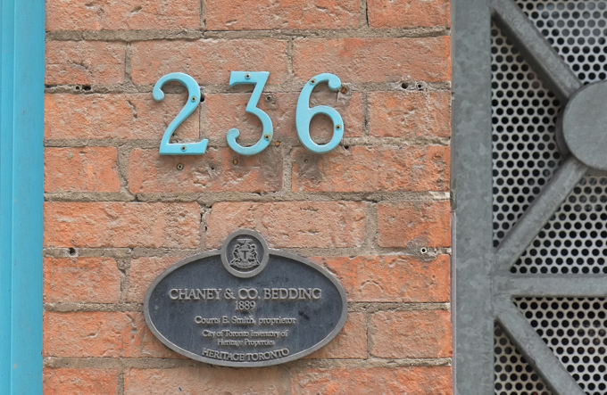
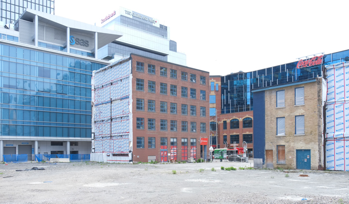
Betty’s (once the Betty Ford Clinic – or just the Betty Ford? – until the original Betty Ford issued a cease and desist order) has moved to Queen St East. The King location closed in 2022 after 30 years on the premises. The building, and its neighbour, 234 and 236 King Street East, are listed as city heritage sites. In 1888, the red brick building was constructed as a warehouse for a bedding manufacturer, Chaney and Co Bedding. And yes, they are empty because a developer plans to build a condo tower here.
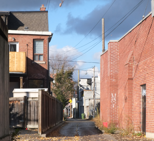
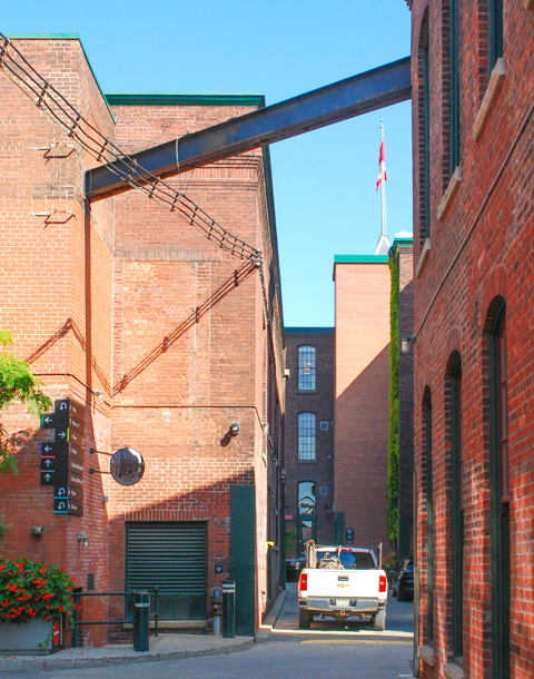
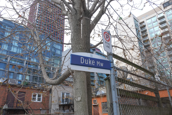
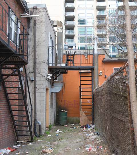
below: Duke Mews is a short lane running west from Princess, back towards Sherbourne. It is just north of King Street, between King and Adelaide. Once upon a time, Adelaide Street was called Duke Street.
below: West end
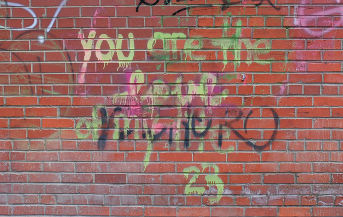
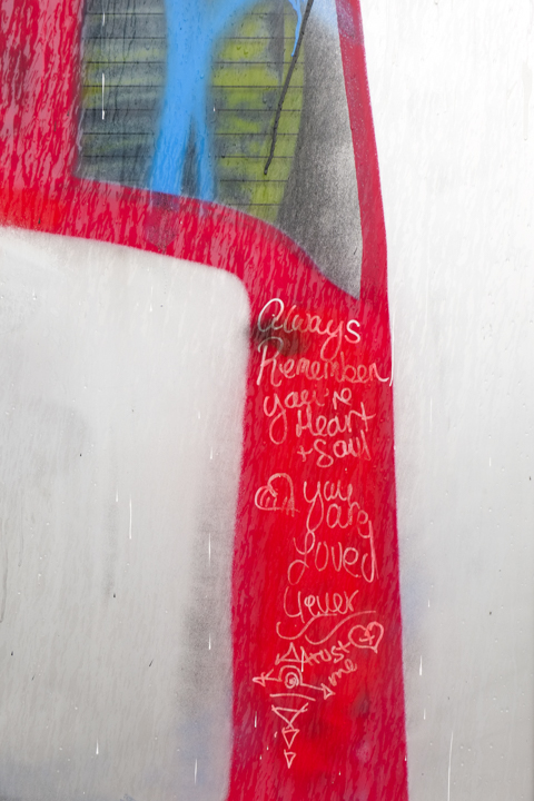
“You are the love of my life”
.
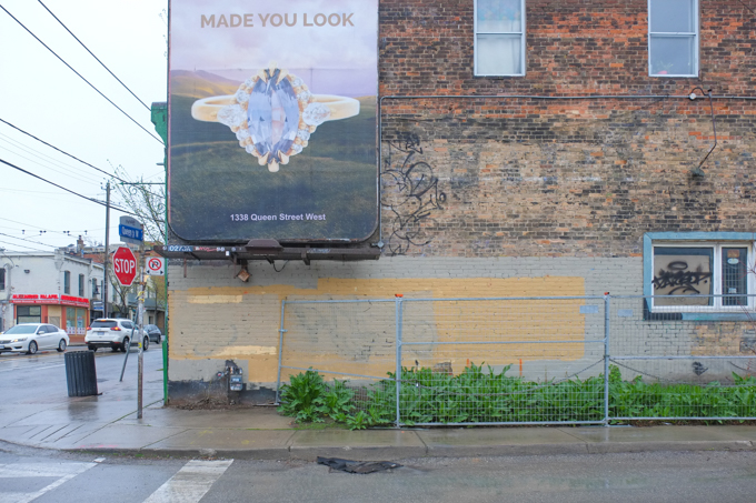
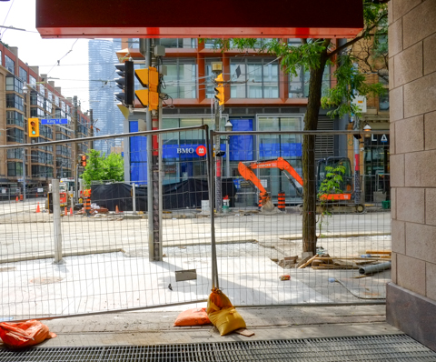
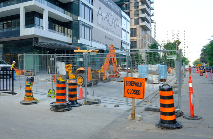
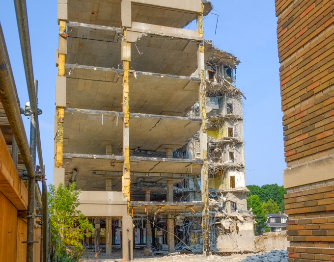
below: Looking east towards Ontario Street at a view that won’t be available for much longer. The buildings that were once here have been demolished and the site is awaiting redevelopment.
below: This is the brick facade that was retained when the Drug Trading Building was redeveloped (into offices and workspaces, not condos). It was originally built in 1942 (and expanded in 1946). The Art Deco elements on the entrance were also saved. This was the administration building for the company -factories were on the other side of Ontario Street. In 2022 this was the Sun TV building even though the transition to a taller repurposed building was already underway . The Drug Trading Company had been founded in 1896 to supply independent pharmacies with medications and other products.

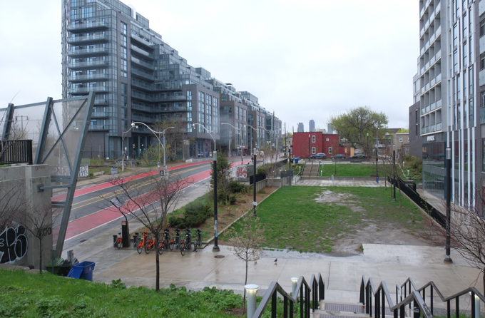
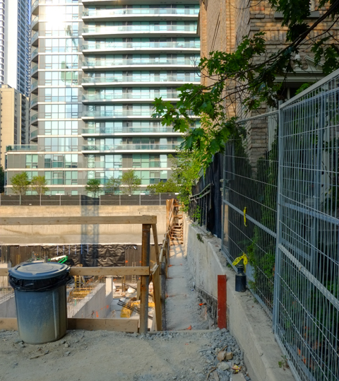
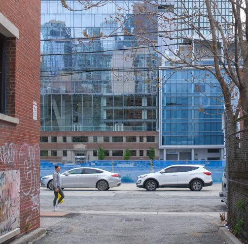
below: Looking northeast from Duke Mews – past the empty lot and the edge of The Shift to farther along Adelaide Street.

below: Now looking southeast from Duke Mews towards King Street. A small sliver of that property along King will become a park.
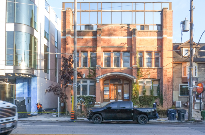
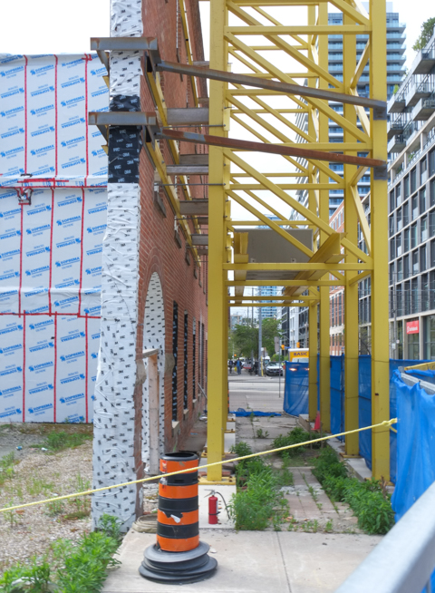
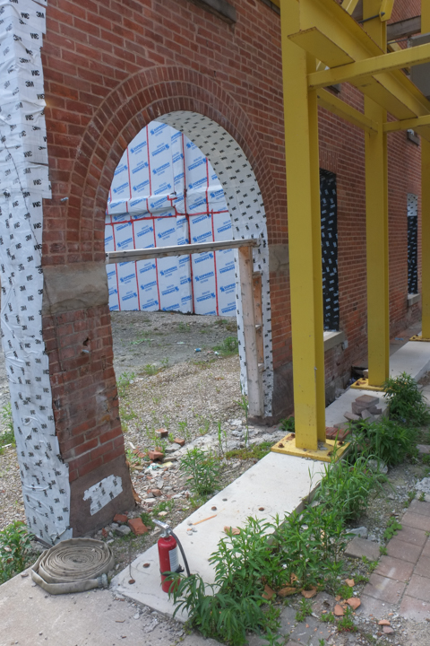
below: The facade of the three storey red brick building at Princess and King is being saved.
below: Once upon a time, the Crow Bar restaurant was on the corner of Adelaide and Princess. It closed in 2016 and in more recent years, the corner was a parking lot.

This 1972 photo is from the City of Toronto Archives, fonds 2032, series 841, file 38, item 7. Fonds 2032 is from the Toronto Planning Board and series 841 is a large collection of photos taken of intersections around the downtown core in 1972.
below: Another restaurant of the same vintage nearby on King Street, the Patrician Grill, just closed
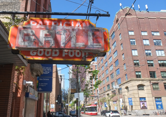
below: Interior of the Patrician Grill, at the same location since 1953.


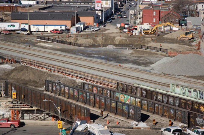
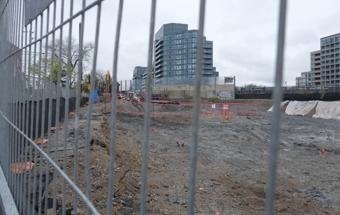
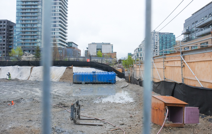
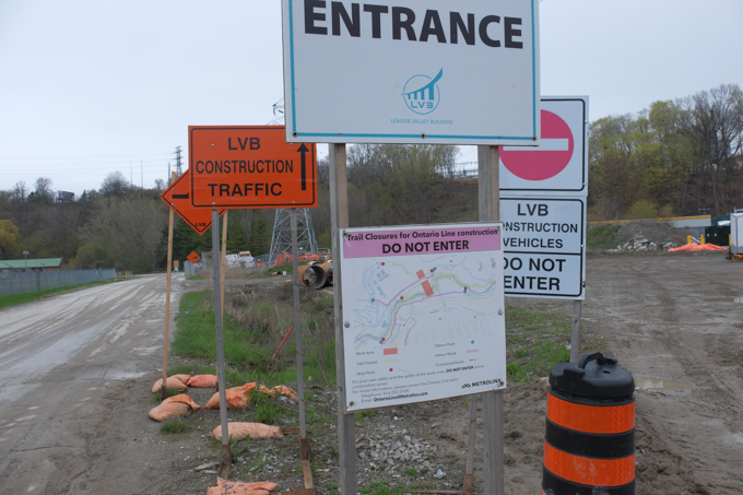
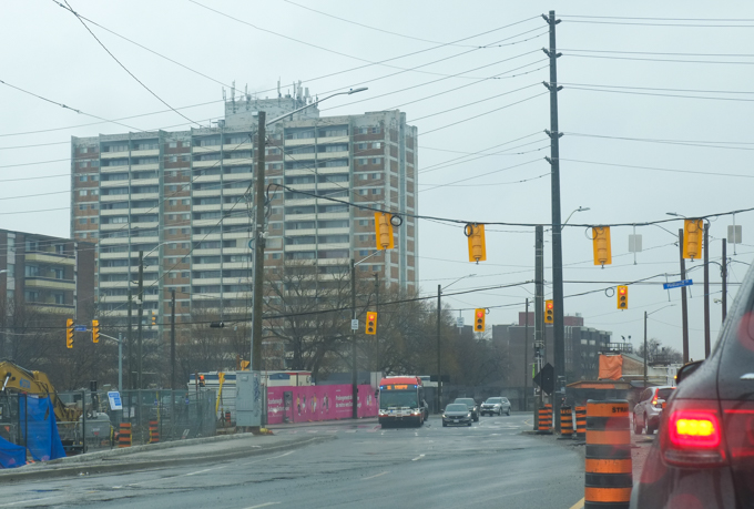
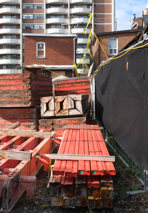
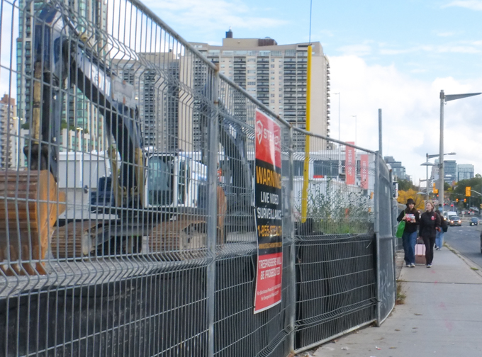
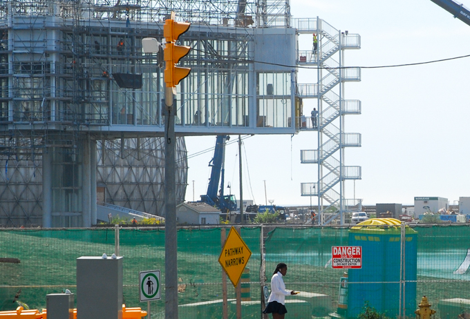
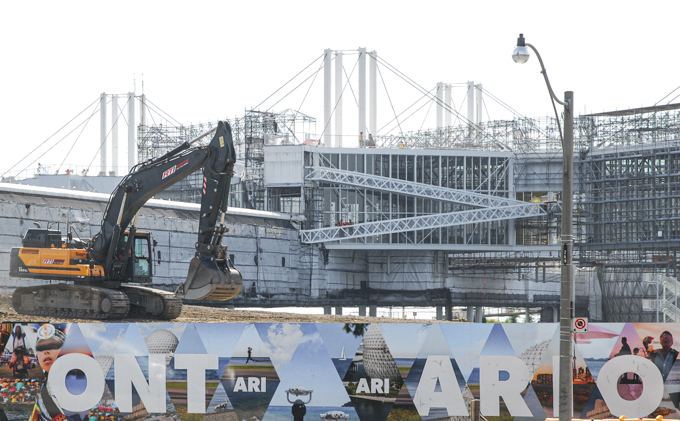
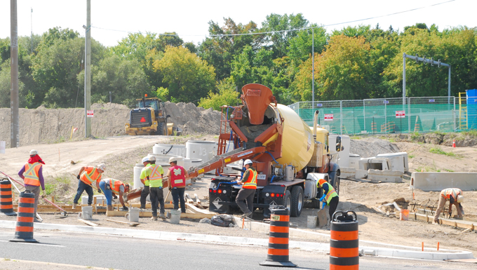
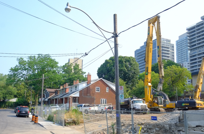
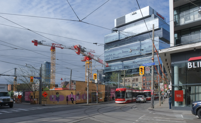
below: Looking southeast at King and Berkeley. Metrolinx has cleared the whole block between Berkeley and Parliament for Ontario line subway construction.

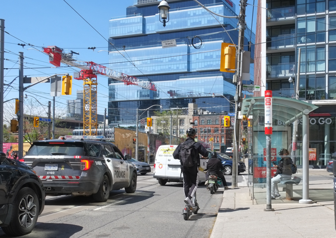
below: Looking southwest at King and Parliament at the hoardings around the block that Metrolinx has taken over.
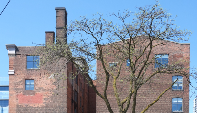
below: Brick buildings on the northwest corner of King and Power Streets. They are actually the back of 93 Parliament Street – built in 1908 for the Aluminum and Crown Stopper Company as factory and warehouse. They manufactured supplies for bottlers.
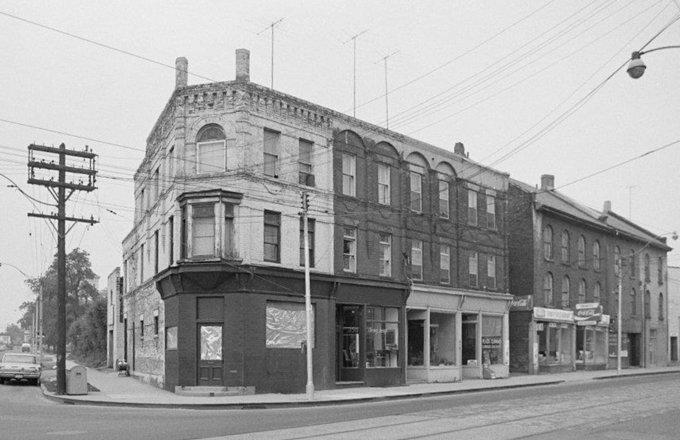
below: King and Power 1972 with a Canadian Imperial Bank of Commerce on the corner.
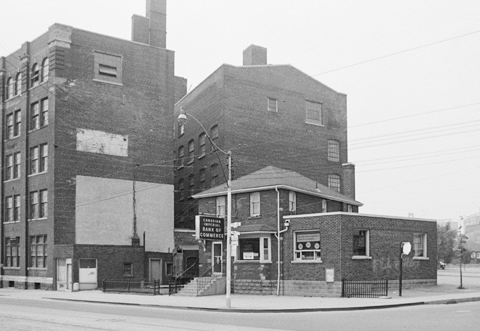
City of Toronto Archives, fonds 2032, series 841
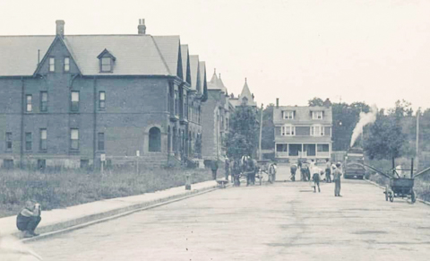
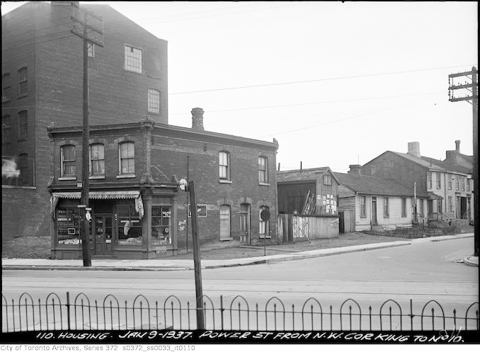
below: Also King and Power, but in January of 1937 when there were houses on Power Street. This photo is from a large collection of photographs taken in 1936 and 1937 of housing in this area. A large number of the houses are in awful condition, poorly built, and condemned by the city.
below: If you then turn around and face east, this is the view that you get. It’s in black and white and I bet that it could pass as a vintage photo even though I took it a few days ago (except the modern cars might give it away).
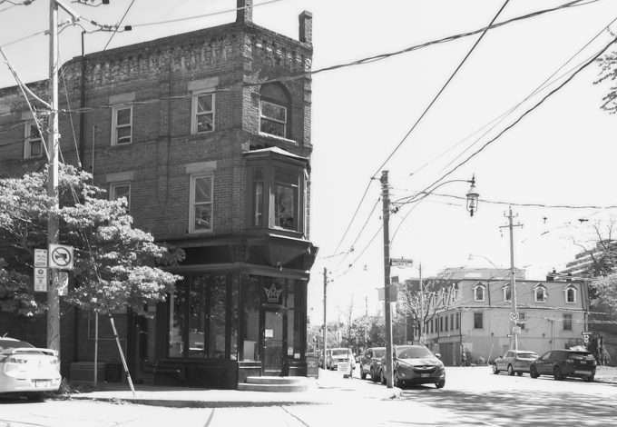
below: Another City Archives fonds 2032, series 841 photo from 1972. It’s not a direct match to the photo above, but the building on the corner of King and Power (356 King East) is the same one. It wasn’t looking too healthy in 1972! It is nice to see something that has improved with age (and some TLC). This photo happens to show the row of buildings on the north side of King adjacent to number 356.
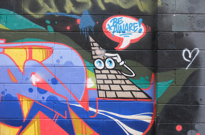
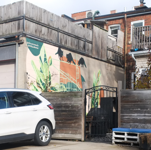
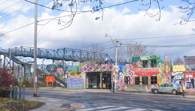
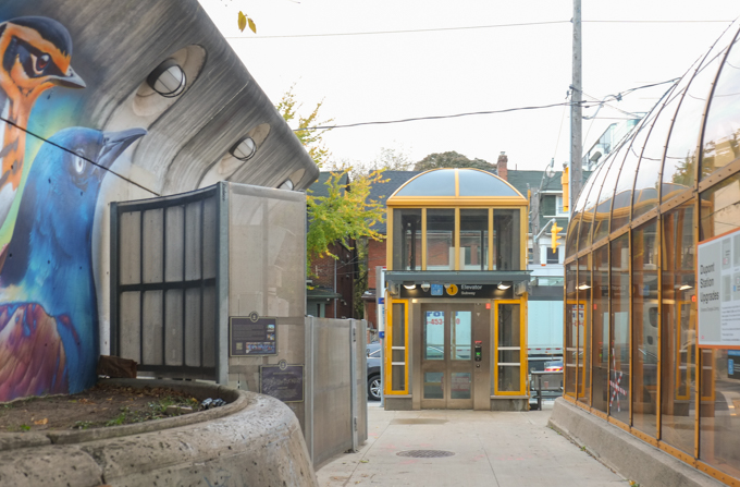
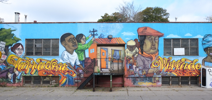
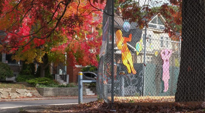
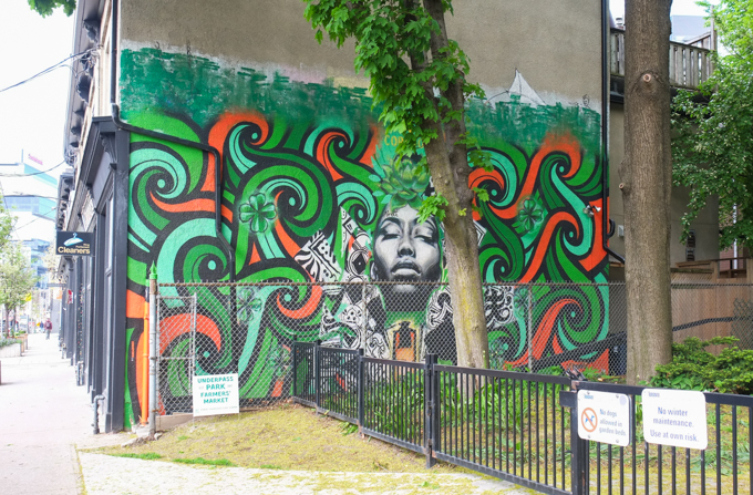
below: There are four leaf clovers hiding in the greenery in this Rowell Soller mural beside Sackville Park
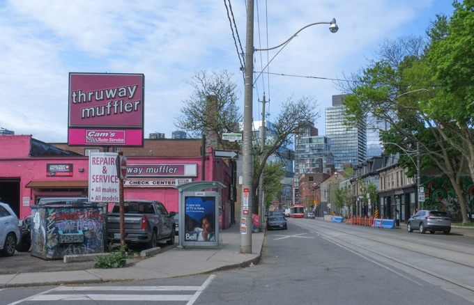
below: If you have ever walked or driven this section of King Street East, you may have noticed the bright pink exterior of Cam’s Muffler/Thruway Muffler!
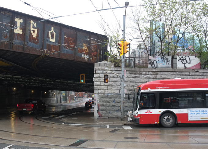
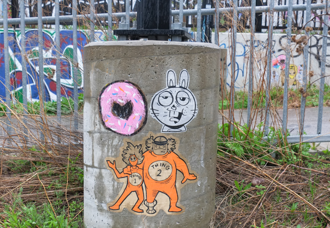
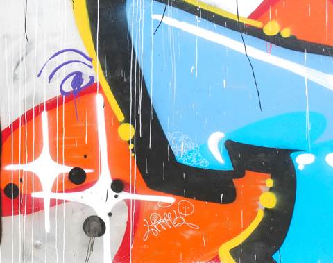
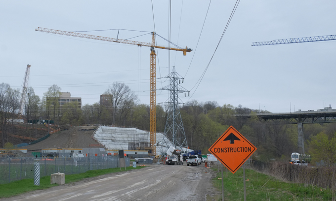
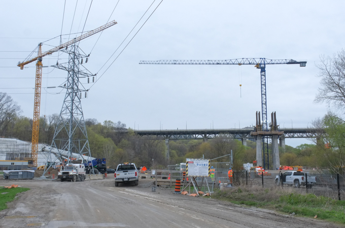
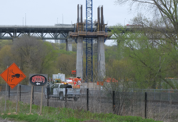
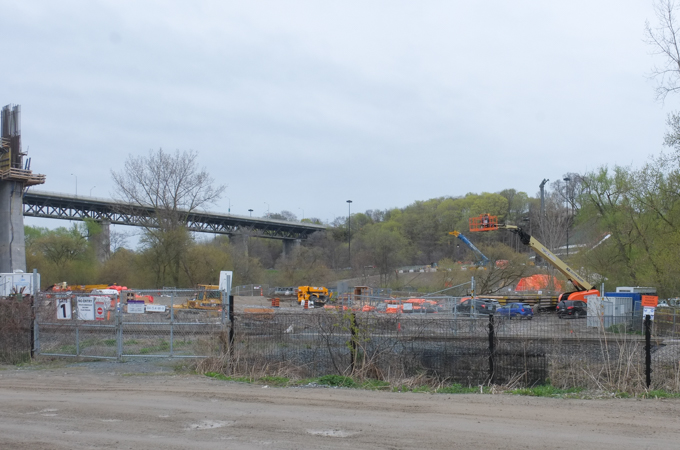
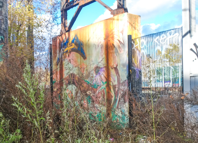
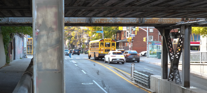
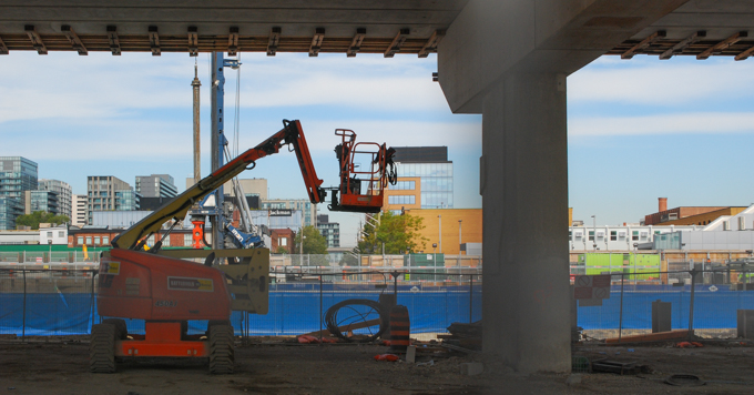
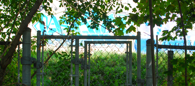
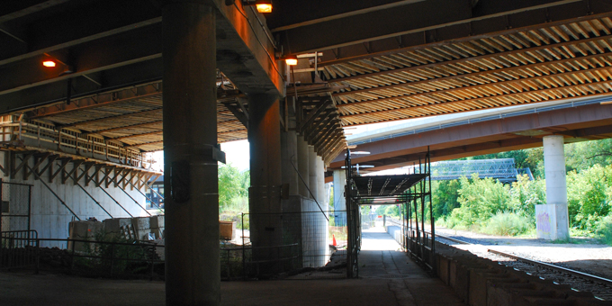
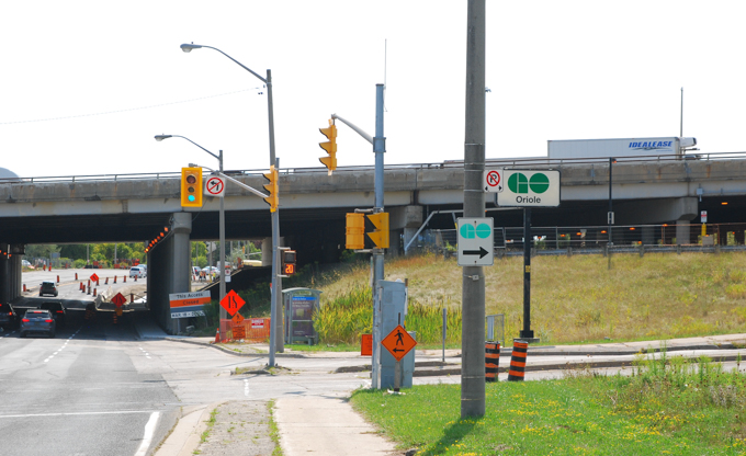
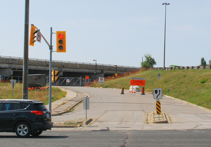
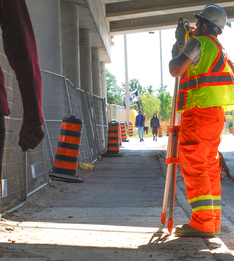
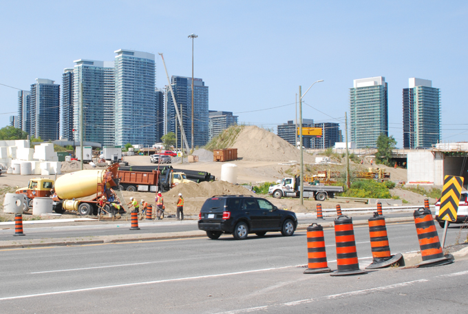
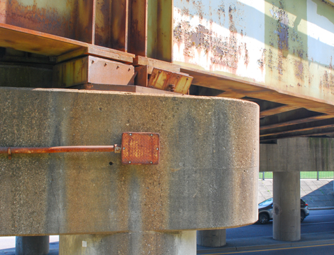
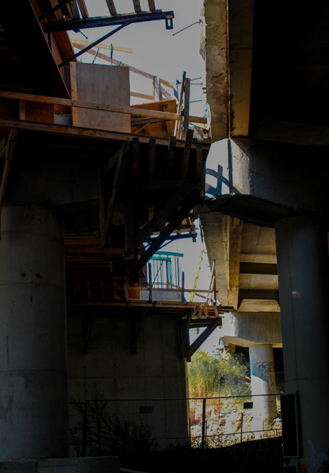
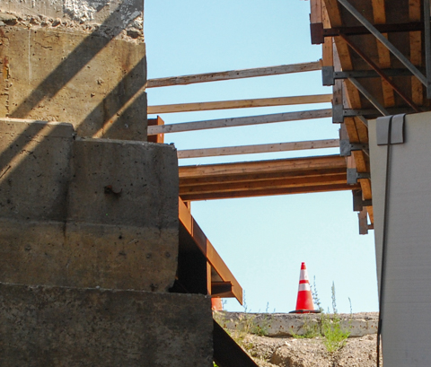
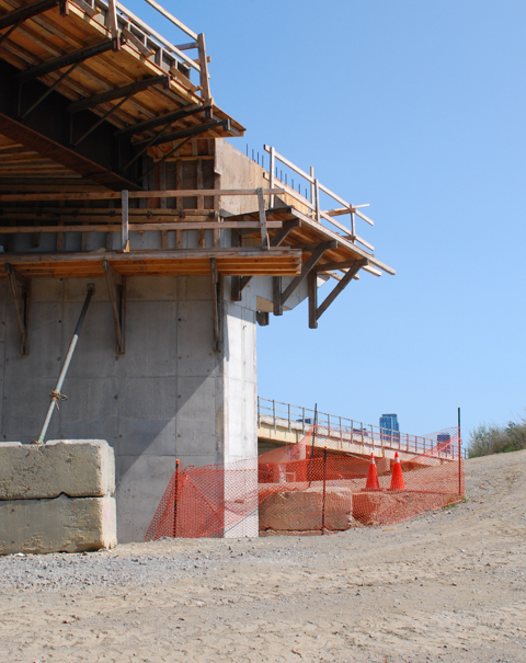
below: Repairs and updates are in progress on the ramps between the Gardiner Expressway and Don Valley Parkway that cross over King Street. The concrete supports were painted by Shalak Attack and Bruno Smoky a few years ago.


In 1901 King Street was extended as far east as the Don River. Because of the curvature of Lake Ontario, King Street swings north and merges with Queen just before the river.
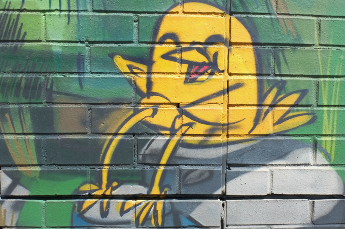
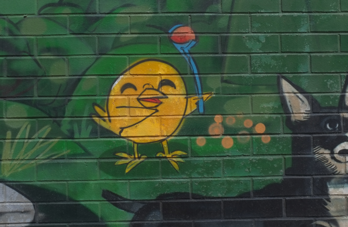
I’ll end this blog post with three bits of cuteness, all are sections of the large Uber5000 mural on the Queen Street wall of the Toronto Humane Society, one of the last buildings on Queen Street before the Don River. Uber5000’s little yellow birdie is such a happy fellow!