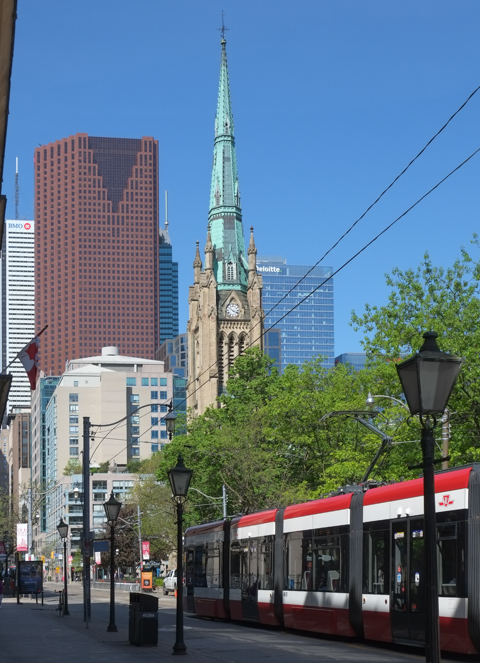
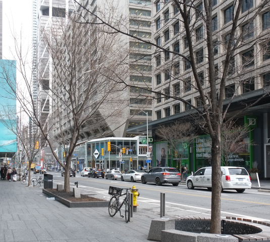
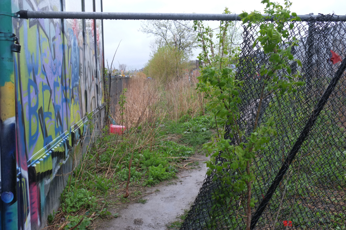
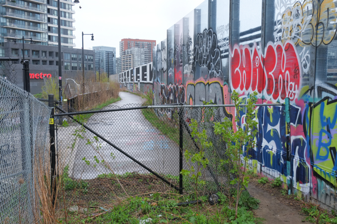
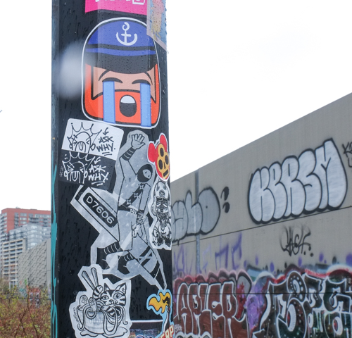
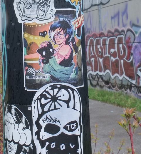
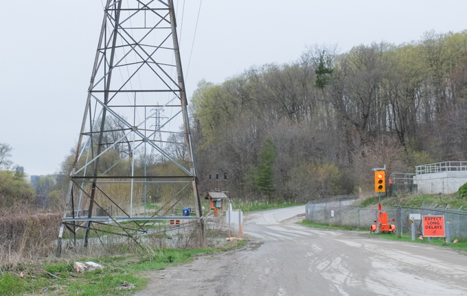
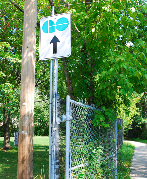
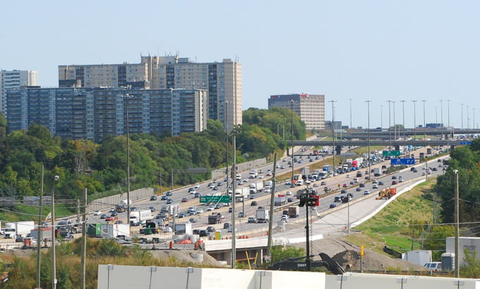
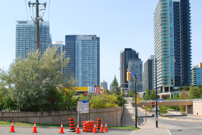
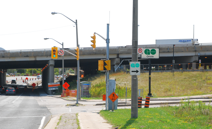
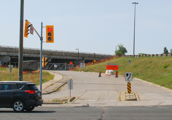
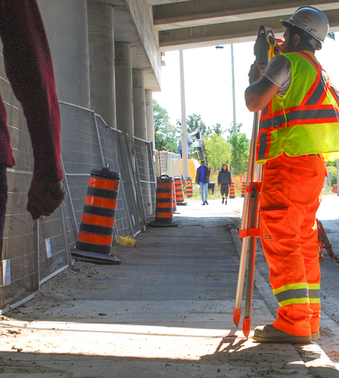
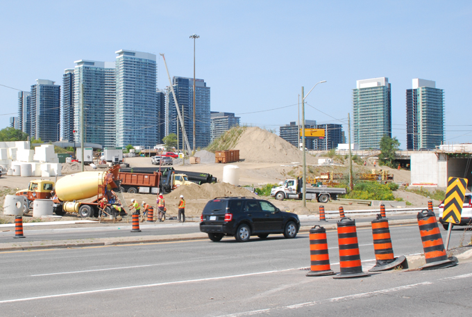
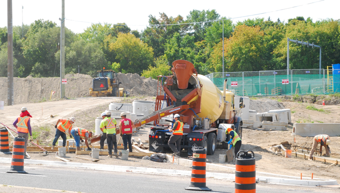
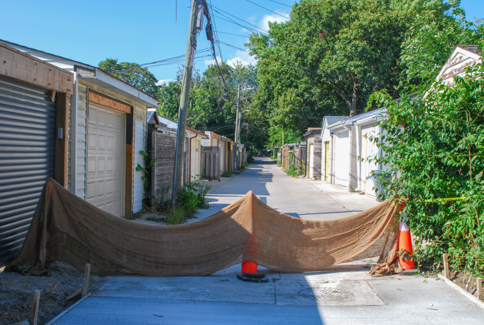
A look at another intersection (and its surroundings)…….
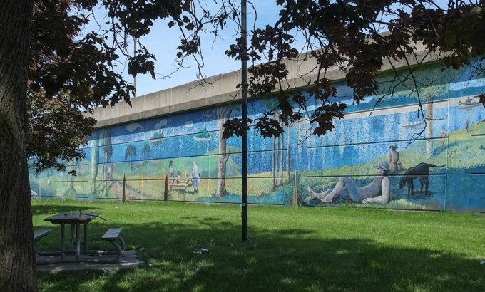
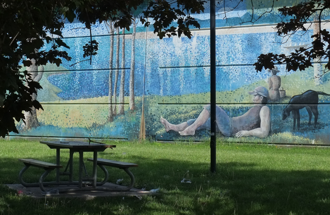
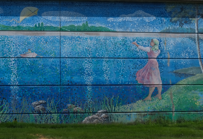
below: Swimming by the 401 highway – You might recognize this image as Georges Pierre Seurat’s 1884 pointillism painting, “Bathers at Asnières”. Man in hat lying with his dog, sailboats in the distance, people sitting on the shore and people playing in the water – these are all elements in that famous Seurat painting.
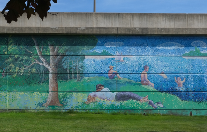
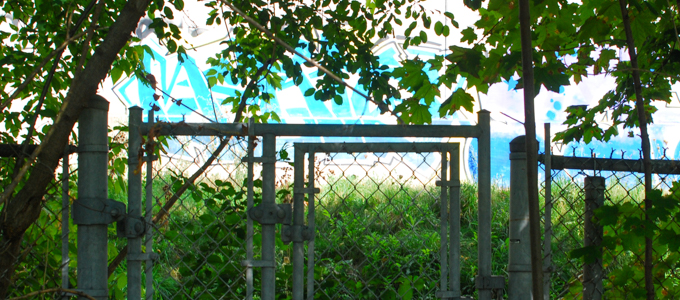
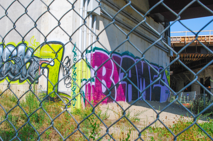
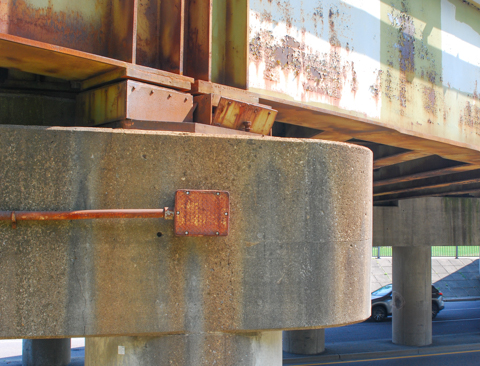
It appears as part of a large mural that Ian Leventhal painted in 2006; it covers the wall that helps support the 401 as it cuts across the Bathurst and Wilson intersection. The large triangle created by this wall and the two streets is a park with the very unimaginative name of Bathurst-Wilson Parkette.
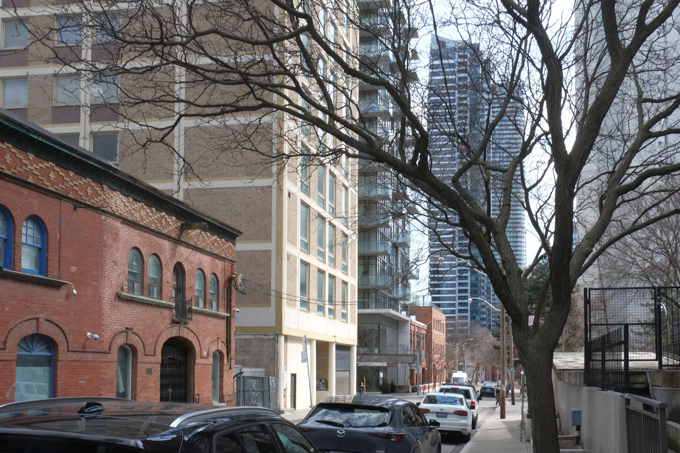
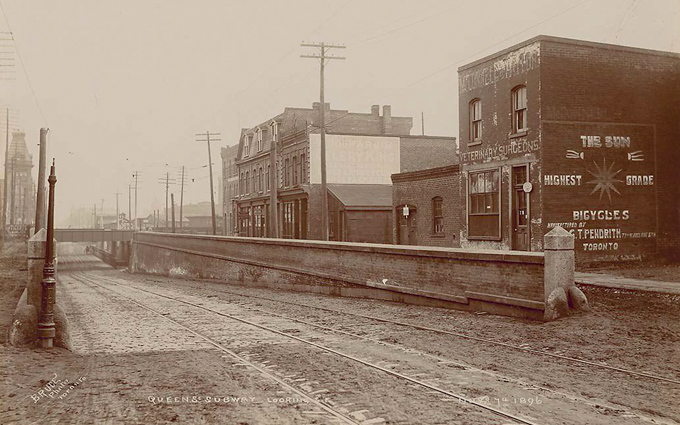
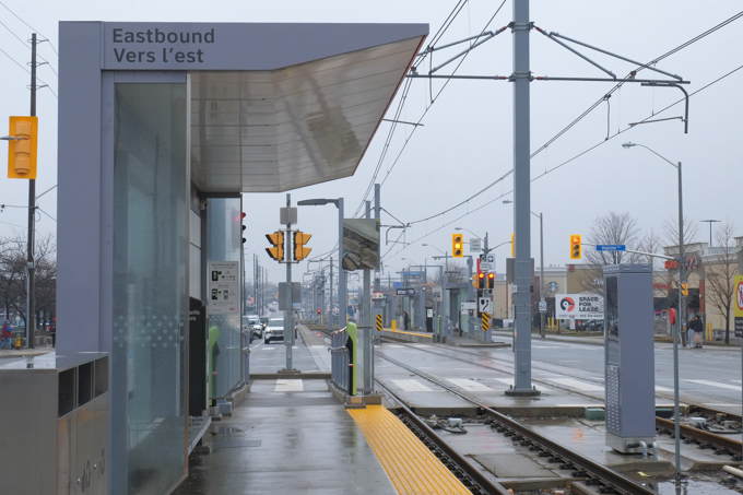
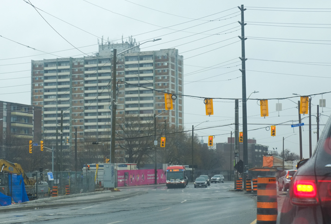
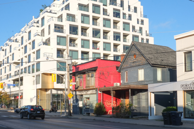
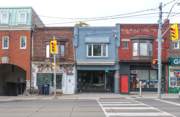
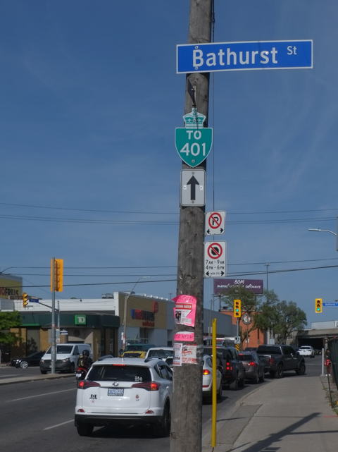
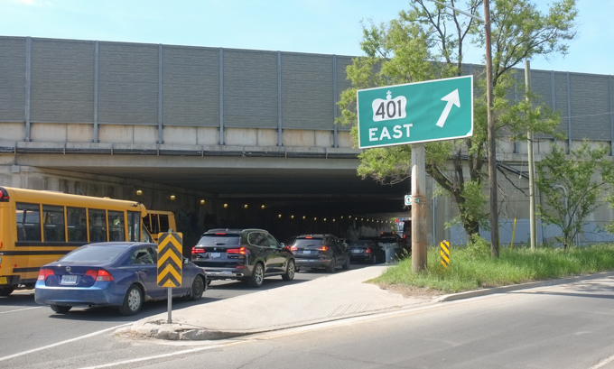
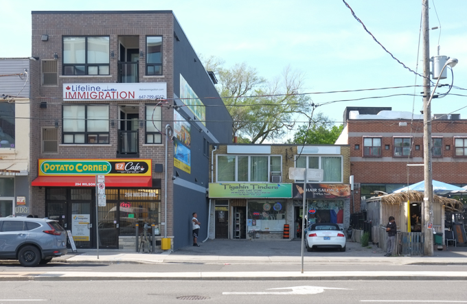
below: Looking east on Wilson at Bathurst.
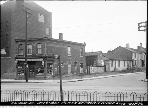
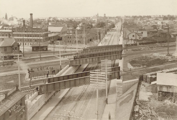
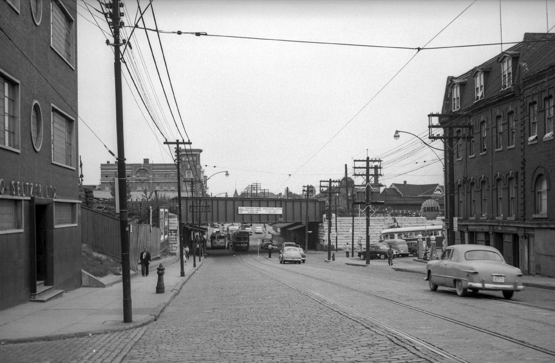
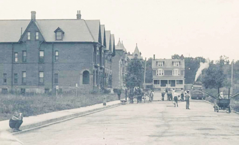
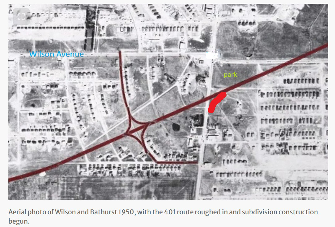
below: Both Bathurst and Wilson pre-date the building of the 401 highway. This old photo (1950) is taken from an excellent article in the Toronto Star written by Shawn Micallef, (28 Sept 2019) that details the history of the 401 highway development around Bathurst Street. The brown lines show the original layout of the highway and the on/off ramps. Not all of these ramps exist now. I have added a bright red line to show the present day on-ramp from Bathurst (northbound) to the EB 401. You may have noticed that the original on and off ramps were residential streets!
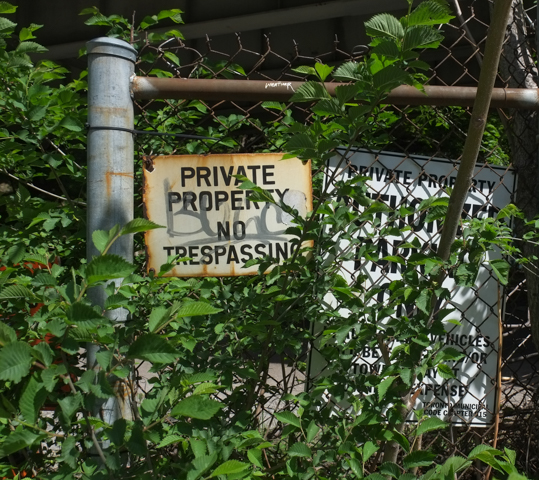
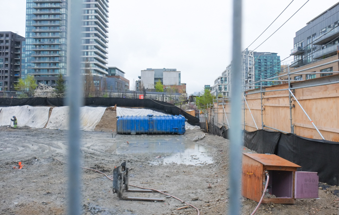
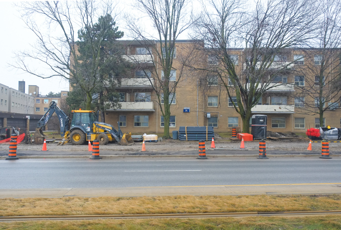
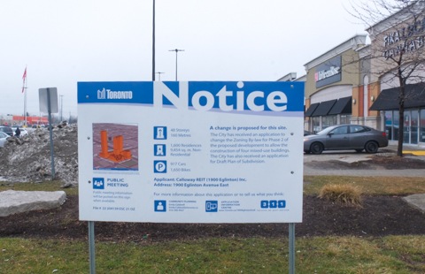
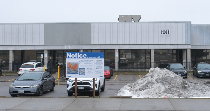
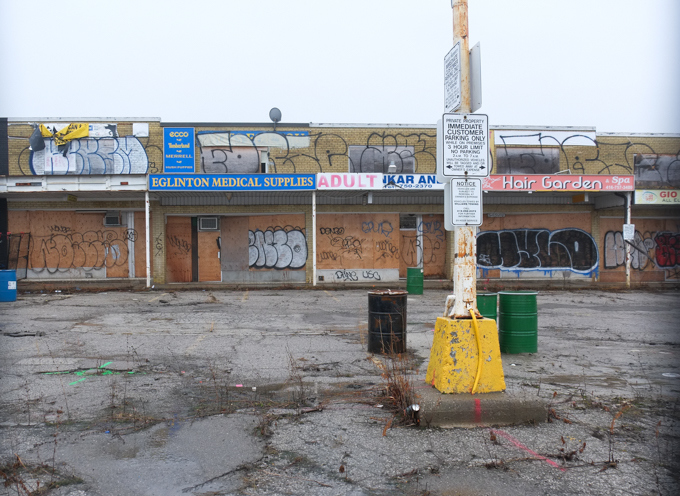
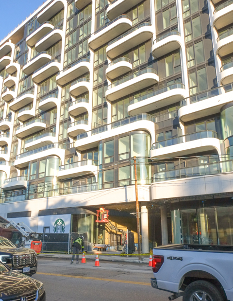
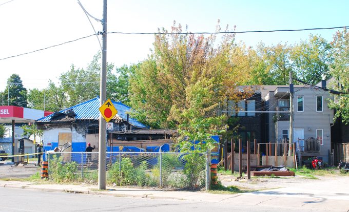
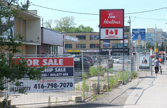
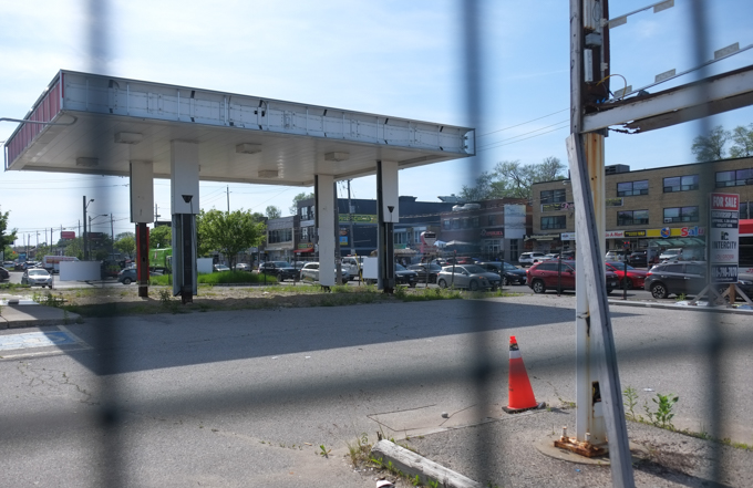
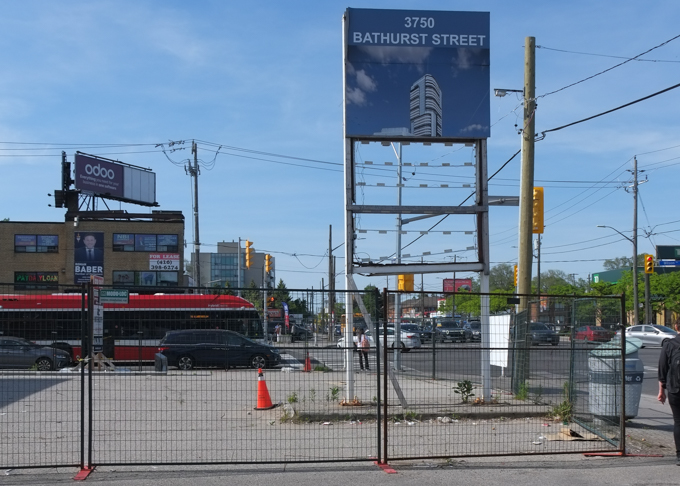
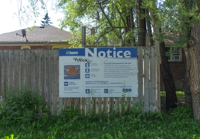
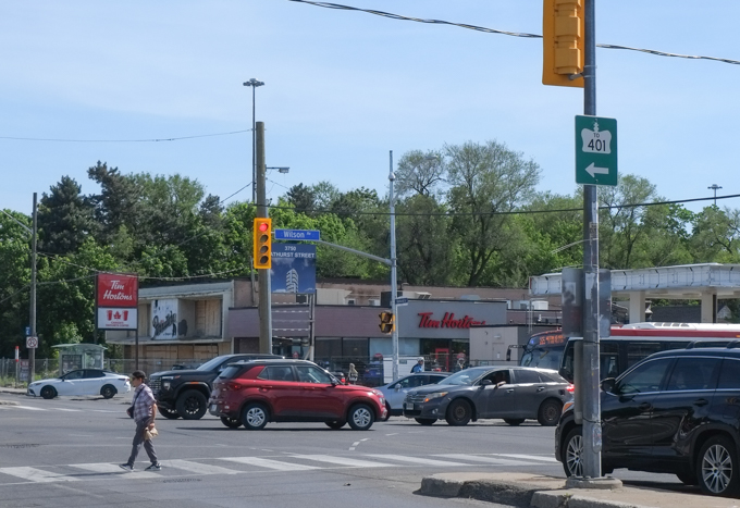
But changes are always happening. Now it is the southwest corner of Bathurst and Wilson that is about to be transformed…. or at least it was. At the moment the property is under court ordered receivership as the developer is having “financial issues” to the tune of at least 28 million dollars. The property is for sale. Tims is open but everything around it is vacant. Condo development was booming in Toronto until it wasn’t. I don’t have an exact number, but there are a lot of vacant/abandoned properties like this around the city.
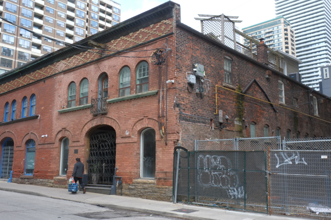
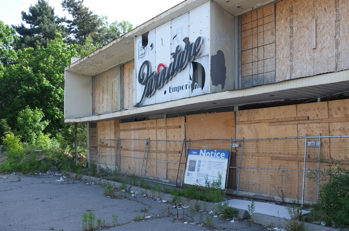
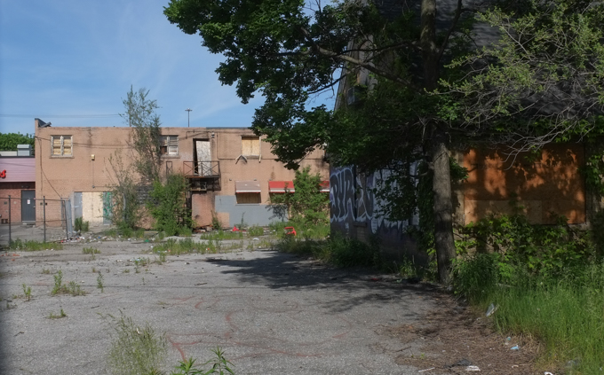
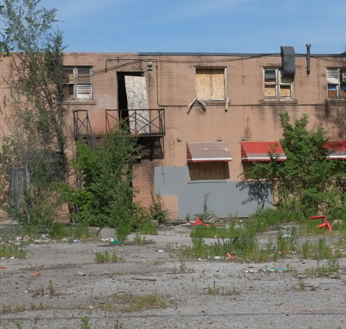
below: Brooklyn Furniture Emporium – boarded up and forgotten. They started business in 1958 and survived for more than 60 years.
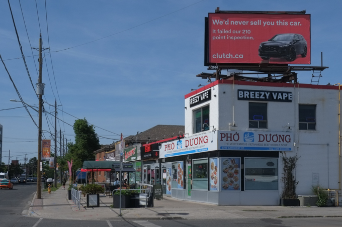
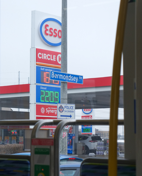
below: Gone is the gas station that was here.
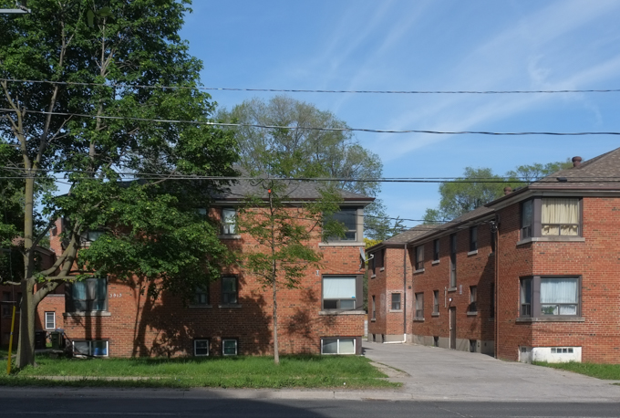
below: Looking north up Bathurst.
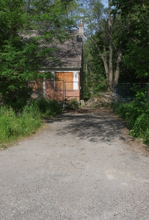
The development property that is on the market also includes a couple of addresses on the next street west, Richelieu Road whose properties back onto Bathurst.
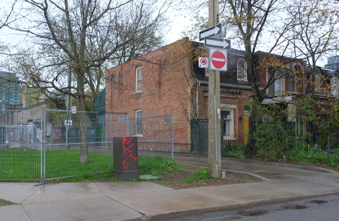
below: Another proposal includes the remaining houses on Richelieu (across the street from those backing onto Bathurst). I am unsure of its status, but it makes for a rather sad looking little street.
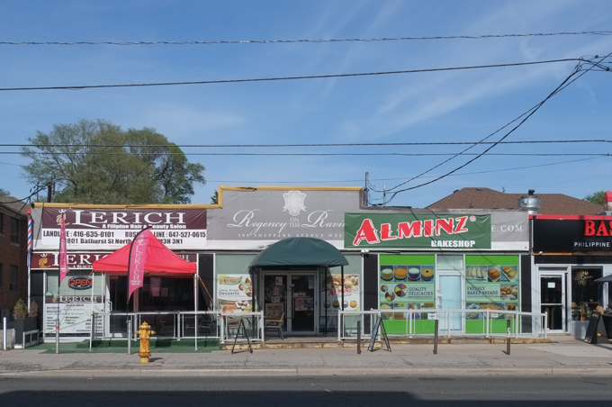
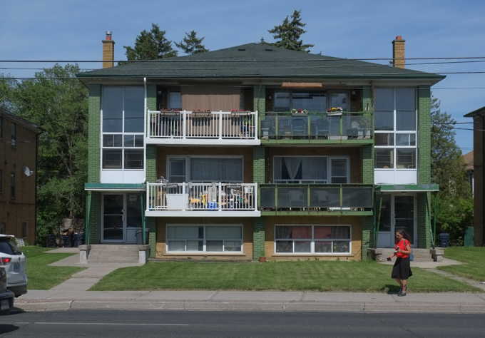
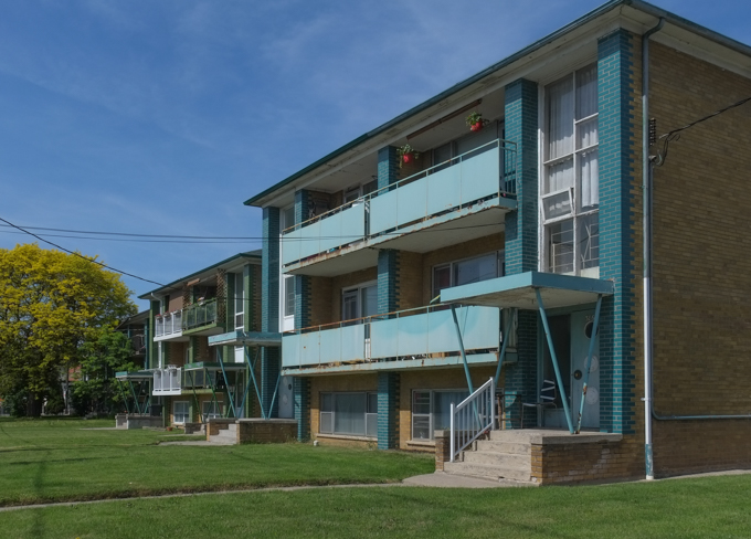
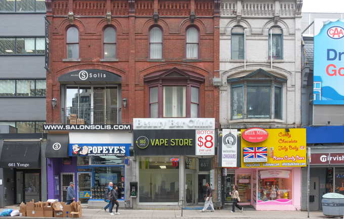
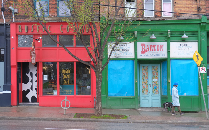
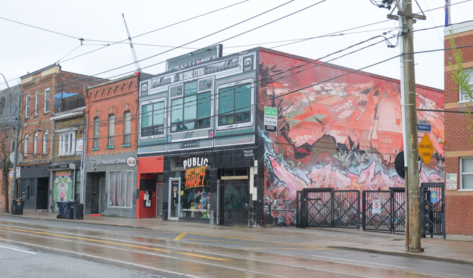
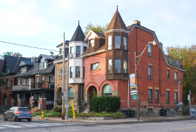
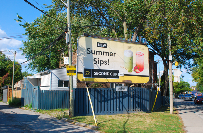
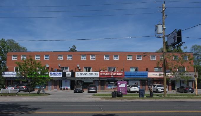
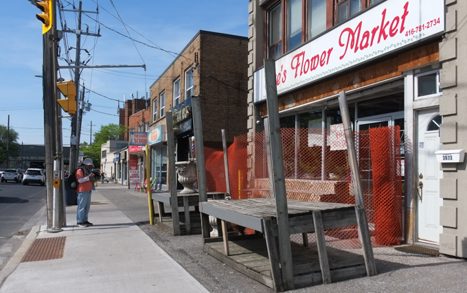
below: This area was originally developed at a time when the 2 storey brick mini plaza (or strip mall) was popular. A line of stores/restaurants/businesses with some parking in front became a feature of large segments of Toronto’s main streets. Will we mourn their loss once it is their turn to be replaced? They may be ugly but they provide a space for local businesses.
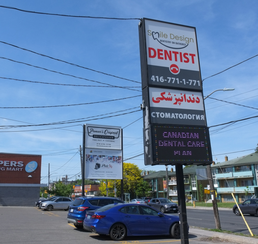
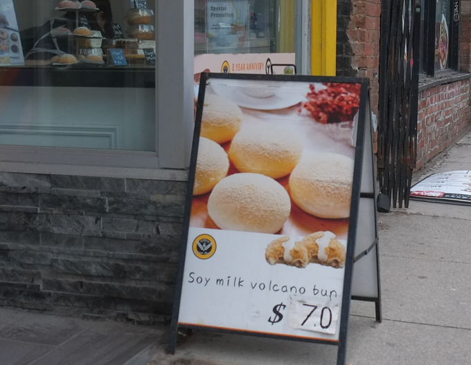
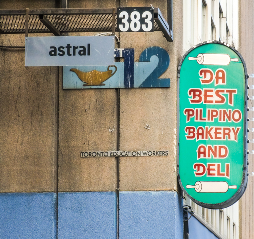
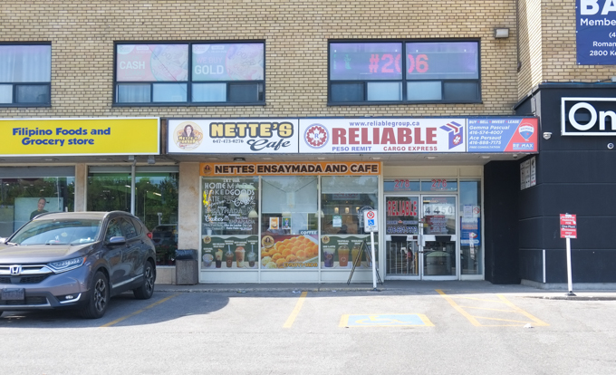
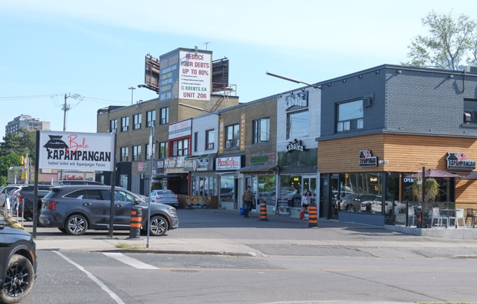
below: Bathurst and Wilson has become predominantly Filipino. This place specializes in ensaynadas which is something that I had never heard of. It’s a Filipino bun with different flavorings/toppings such as cheese, or almond (or many others). Filipino, but from Mallorca (Spain) too … and possibly with a Jewish origin.
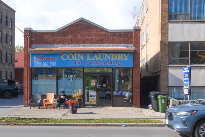
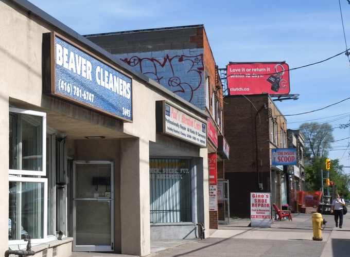
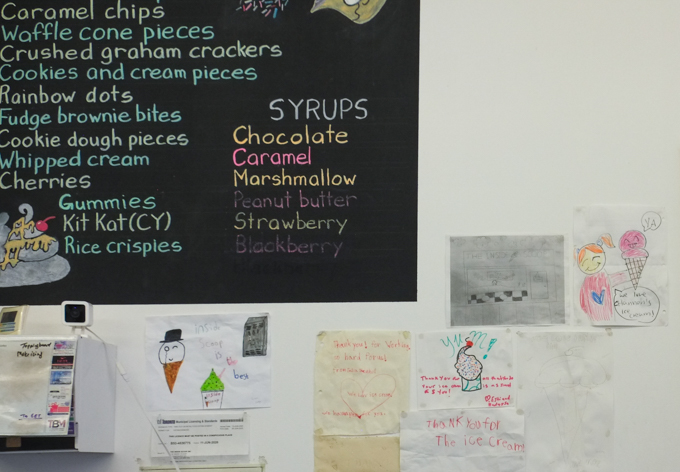
below: Beaver Cleaners – where to go when the beaver needs a good scrub. More importantly, just beyond it is The Inside Scoop which sells fabulous ice cream!
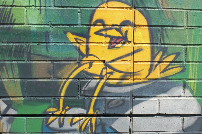
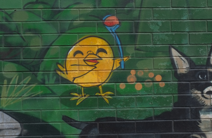
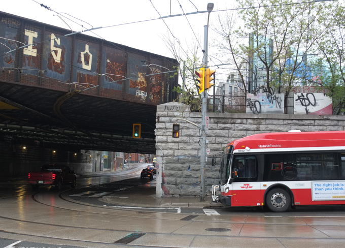
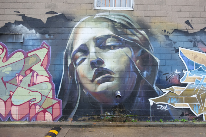
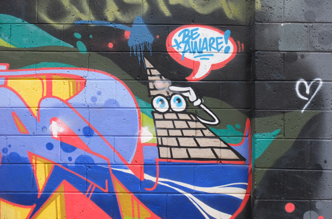
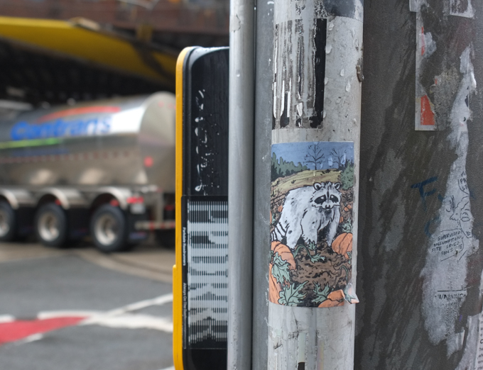
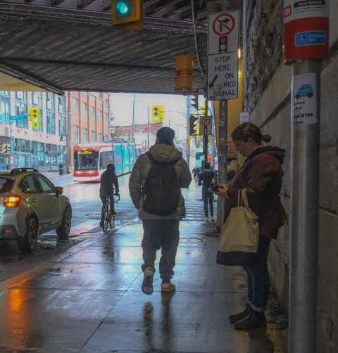
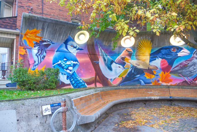
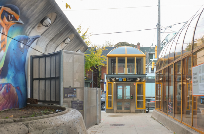
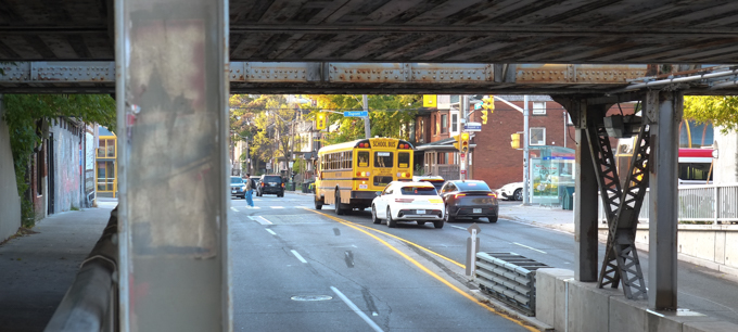
below: You can also find a mural by Nick Sweetman nearby. It lines both sides of the Bathurst underpass at the 401. I have blogged about it previously – in fact, it was the previous post: Animals under the 401

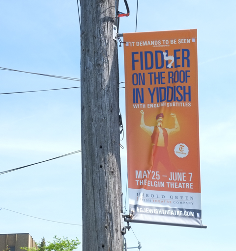
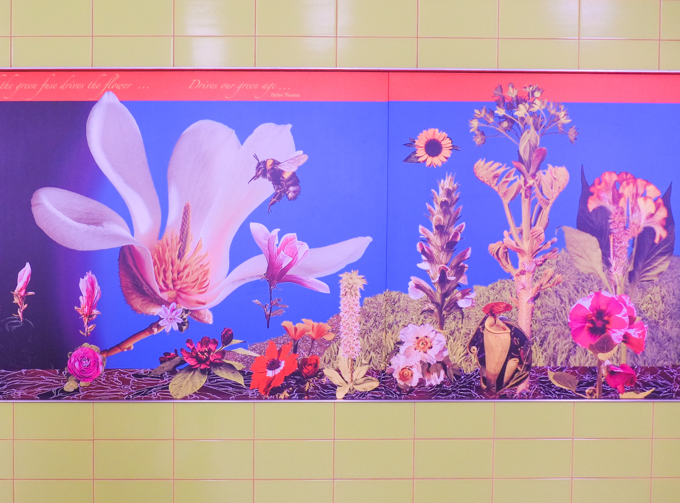
below: A banner to advertise a production of ‘Fiddler on the Roof’ in Yiddish with English subtitles that was playing at the Elgin Theatre (downtown).