Also could be called, “Of bricks and stones and a lot of glass.”
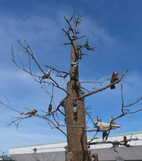
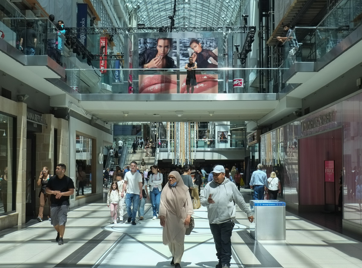
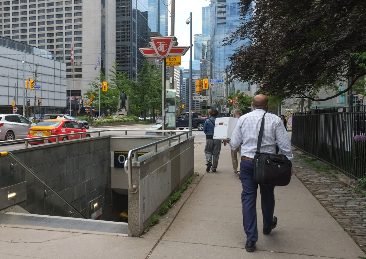
I was recently telling a relative that one of the best ways to explore Toronto, especially downtown, is just to get off at a subway station or streetcar stop and start walking. There is always something to see. This walk is the result of taking my own advice and just getting off at Queen station and seeing where my feet took me. First stop was the Eaton Centre where Michael Snow’s birds still fly. “Flightstop”.
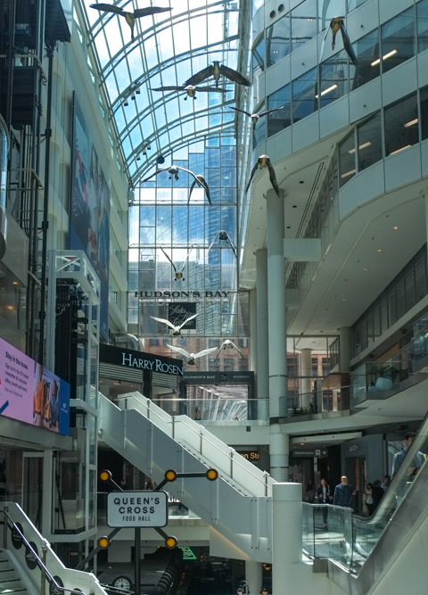
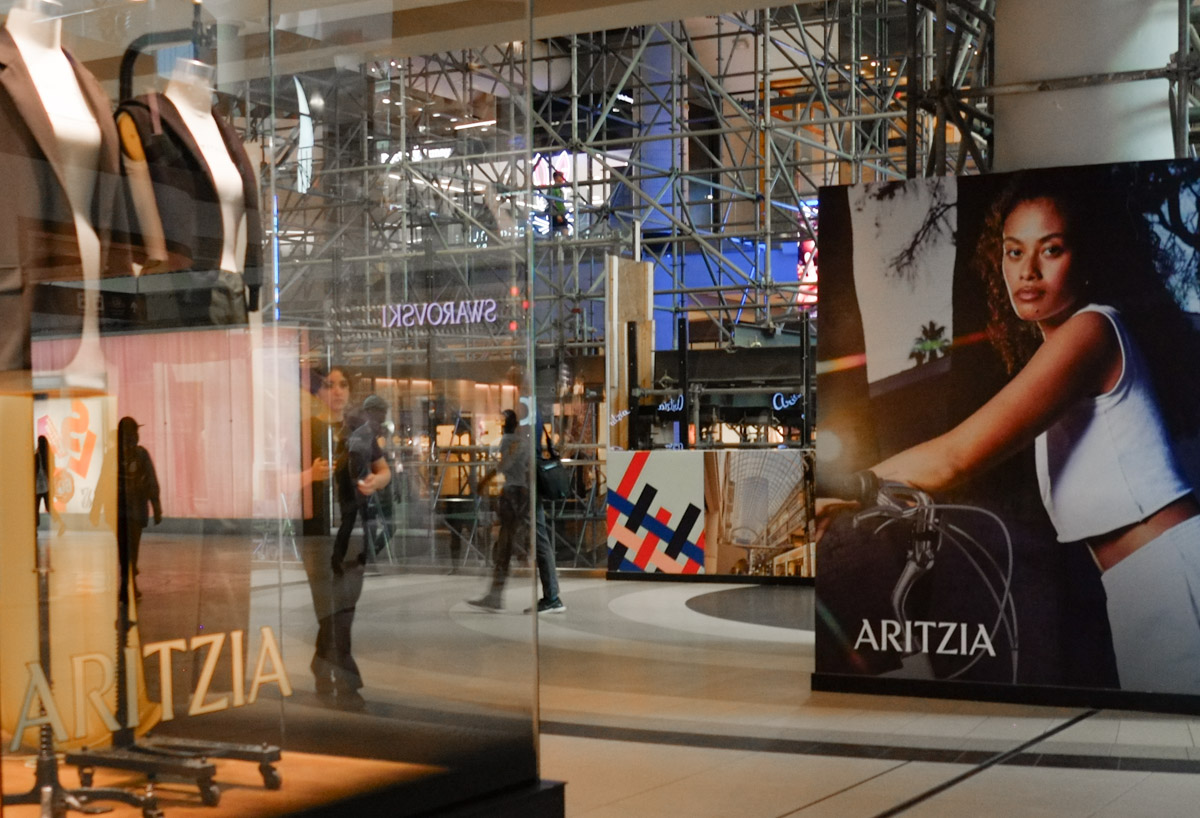
below: Interior, Eaton Centre where all the benches have been removed. Sadistic? Gone are the days when you could take pictures of the men sitting outside Victorias Secret.


below: As I walk around the city, I see more and more of this – the glass wall. This view is south on James Street as I walk between the Eaton Centre and Old City Hall.

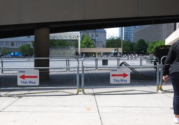
below: Approaching City Hall and Nathan Phillips Square from the east you now encounter a conundrum. Did people hit their heads on the low ramps? Or were people camping out here? A poor, and I hope temporary, solution.
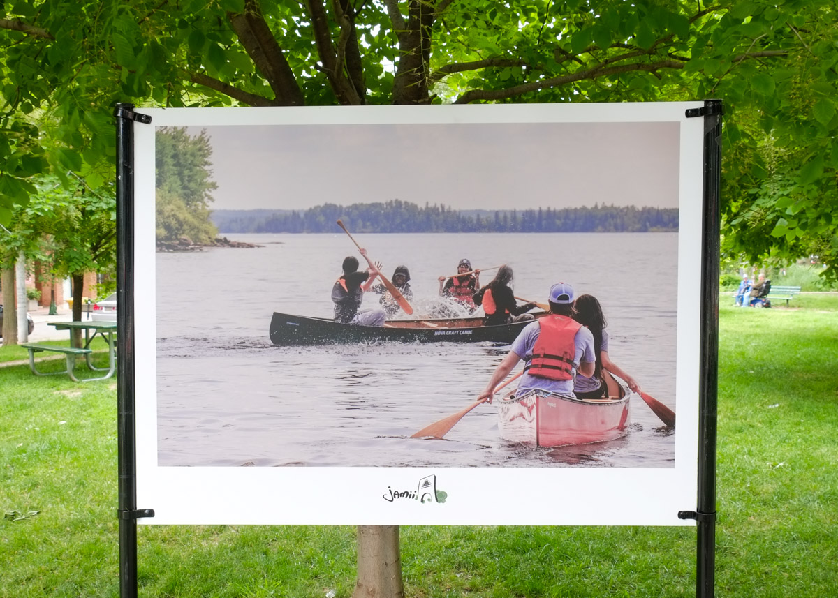
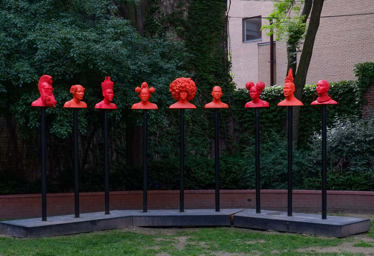
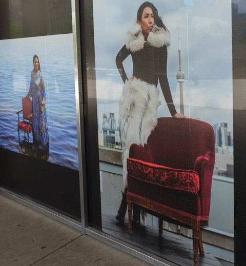
below: A few images from “The Red Chair Sessions”, photography by Nadya Kwandibens A series of 9 large photos is on display in the ground floor windows of City Hall (viewed from outside). On the right, Sage Paul, designer and artist, originally from English River; on the left, Mushkegowuk Iskwew from Peetabeck (Fort Albany Ontario).
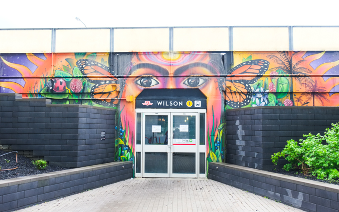
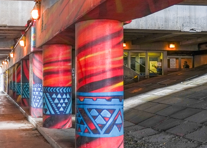
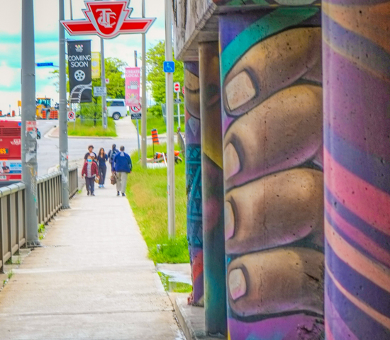
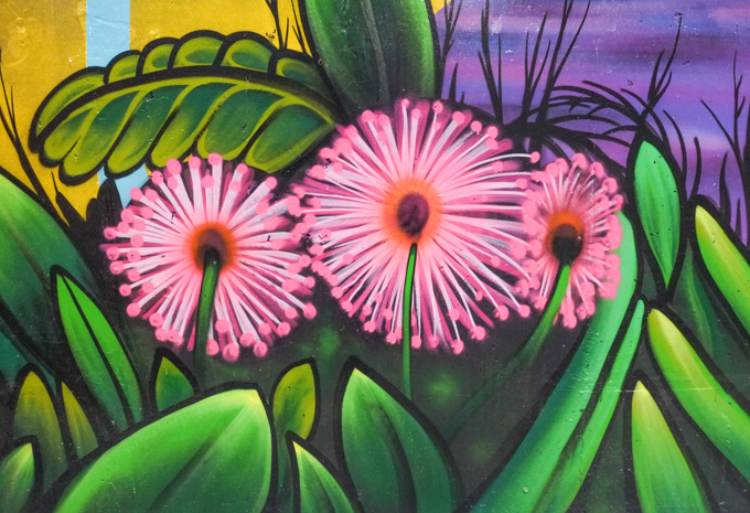
below: Portrait of Ogimaa Kwe Bnes (aka Chief Lady Bird, her Spirit name) from Mnjikaning and Aura from Onyota’a:ka, posing under a mural that the two of them painted at Underpass Park.

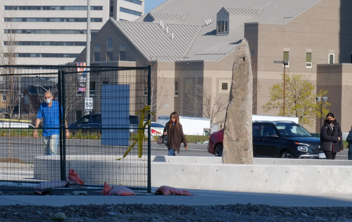
below: The backside of Sir Winston Churchill as he walks away from City Hall – something to think about? The new court house is in the background.

below: New court house from the corner of Chestnut and Armoury.

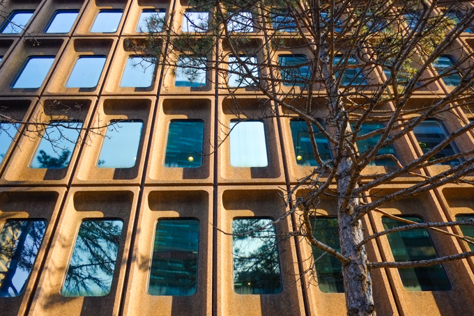
below: Reflections in the glass of the new court house

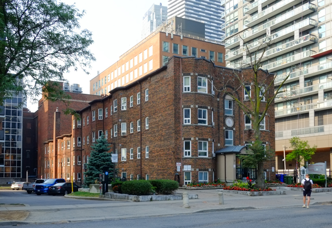
below: Across Chestnut from the court house is an old hotel that is now part of U of T. Its older brick and concrete facade contrasts with the glass and steel of the newer building.

below: More concrete, the back of City Hall (completed 1965). This is not a view that is typically shown but I find it fascinating that there are no windows at all on the outer sides. As it turns out the back walls are made from 18 inches of reinforced concrete that allow for cantilevered floors which in turn make it possible to have an inner structure with few structural elements.

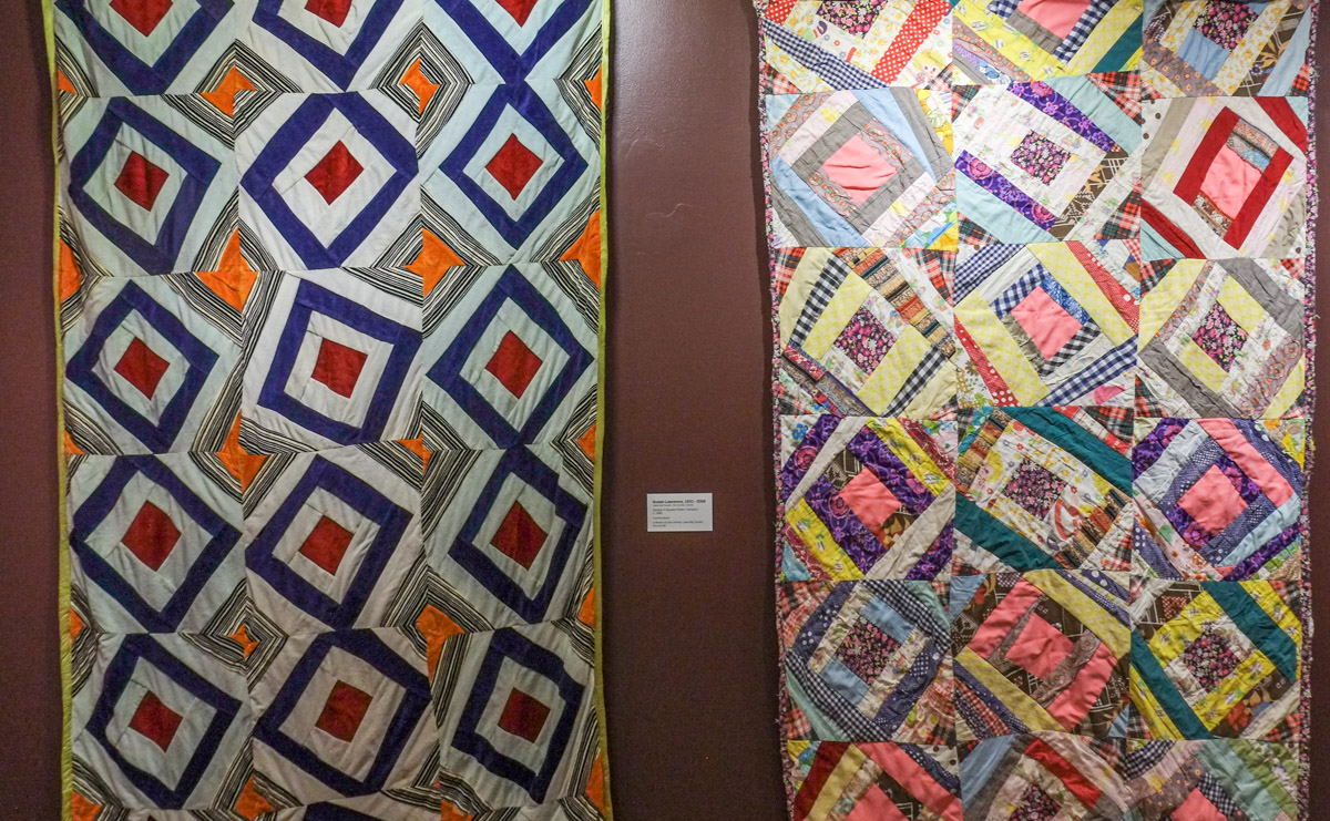
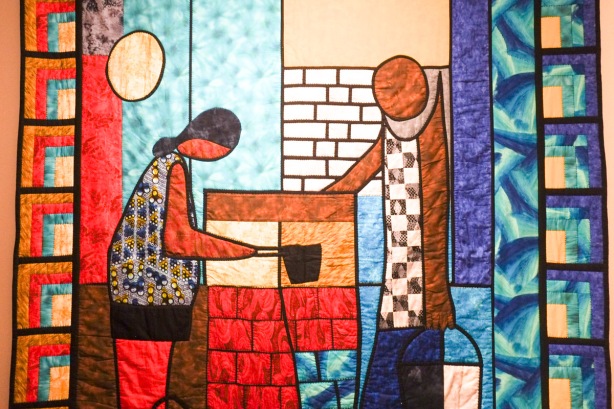
below: Also on Centre Ave is the Textile Museum. At the moment one of their exhibits is about quilts, “The Secret Codes: African Nova Scotian Quilts. Some of the quilts are older ones like this pair by Susan Lawrence (1931-2008) which is a variation of “square in square” pattern.

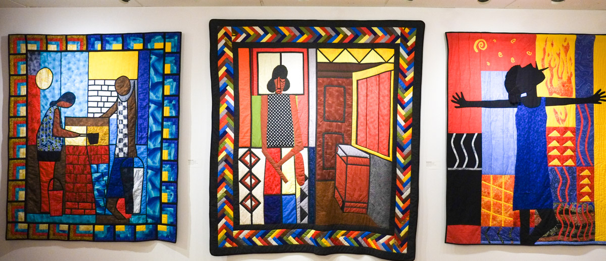
below: Other quilts are more contemporary such as these three by Myla Borden from New Glasgow NS

I first read about these quilts on a blog, junkboattravels.blogspot.com She has a more thorough description of the exhibit along with some pictures. I will add a few more of my photos at the bottom of this post, but if you are interested in seeing others, I recommend checking out the link above (and then scroll down a bit).
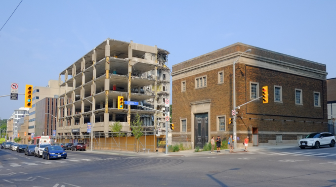
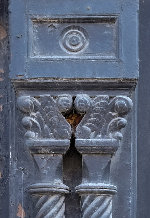
below: Looking north on Centre Ave to Dundas and beyond. The facade of the old brick building on the northwest corner is being saved. It was built in 1928 as an extension to McLean Hunter which was on University Ave. This Beaux-Arts style building has five storeys of offices and four storeys for a printing plant.

below: A closer look at the facade.

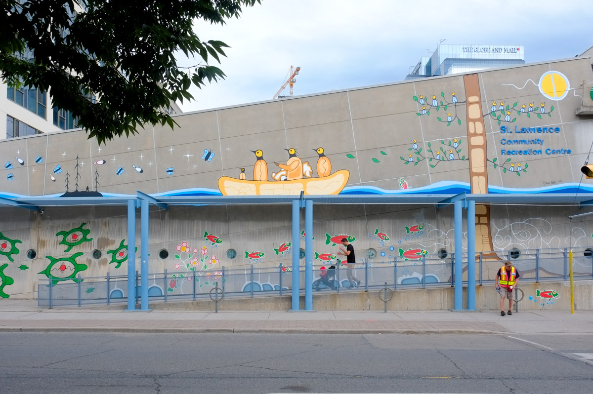
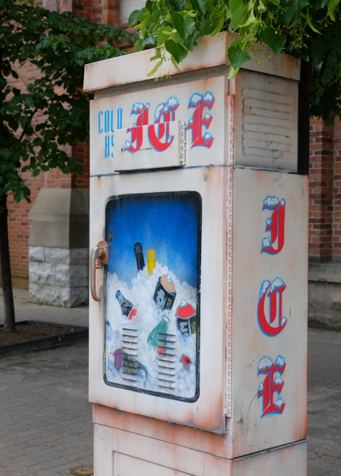
below: Also Centre and Dundas, but the eastside of Centre, a colourful spot… and a trendy way to liven the street appeal of a parking garage.

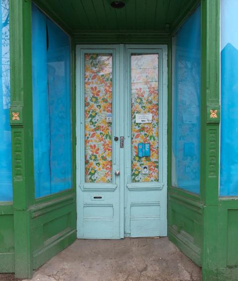
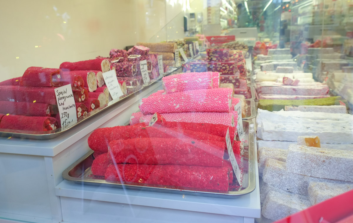
below: “The world is a little bitter. I want to give you a little sweet.” written on the inside. Tiles in a marvelous tessellation by the front door.

below: Reflections in the glass at the northwest corner of University and Dundas.
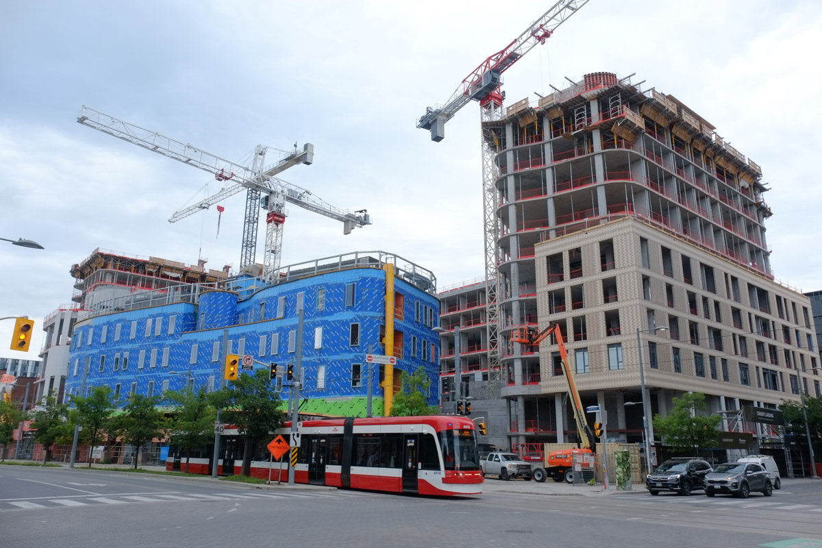
below: Crossing University Ave. while looking west on Dundas. There’s a curvy new building underway.

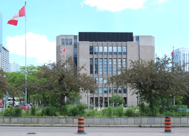
below: The old court house, or Toronto Courthouse, which was built in 1966 is on University Ave just north of Osgoode Hall. It is a 20th Century Modern building clad in Queenston limestone, a stone that you can also see on many other Toronto civic buildings such as the ROM and the . It is quarried in Queenston, near Niagara Falls, and at one point was the largest quarry operation in Ontario. You’d easily mistake it for concrete.
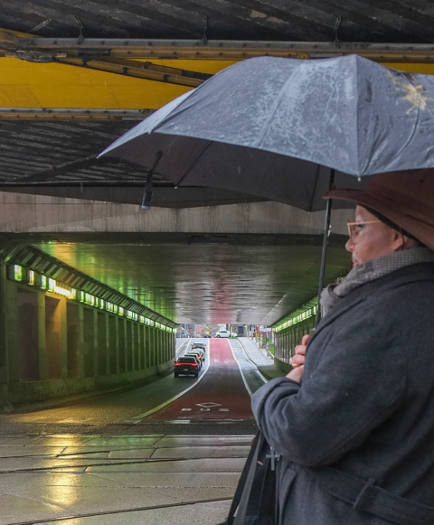
below: Cannons and yellow umbrellas
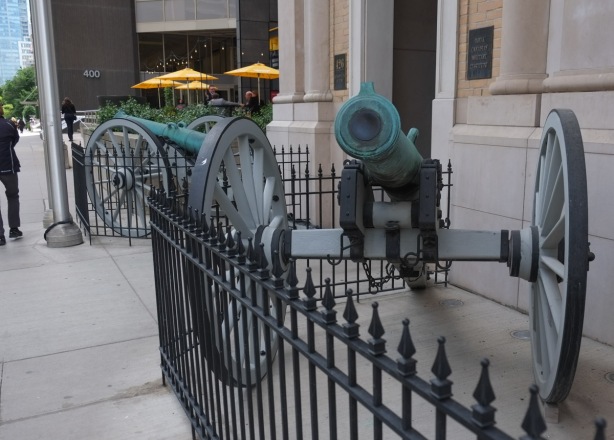
below: Behind the yellow umbrellas

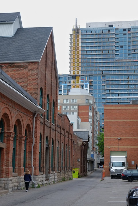
below: A narrow passageway between buildings.

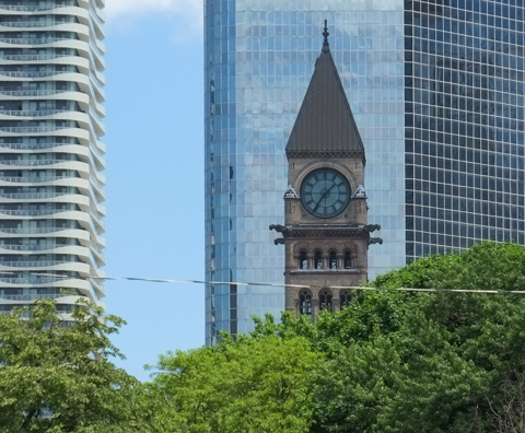
below: Old City Hall clock tower

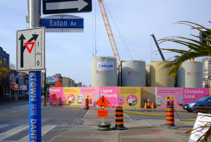
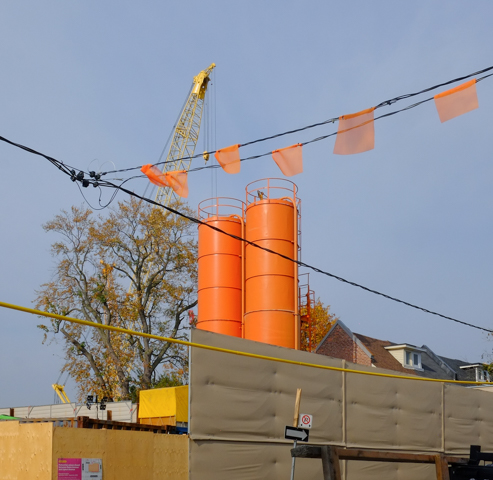
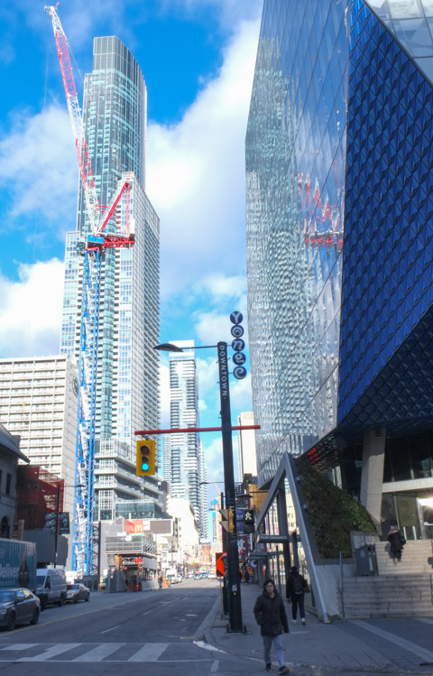
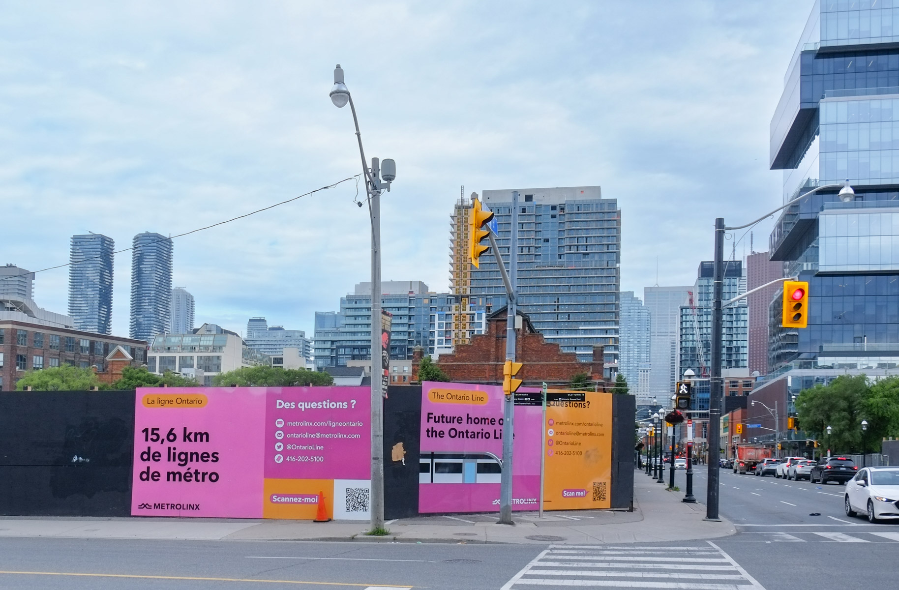
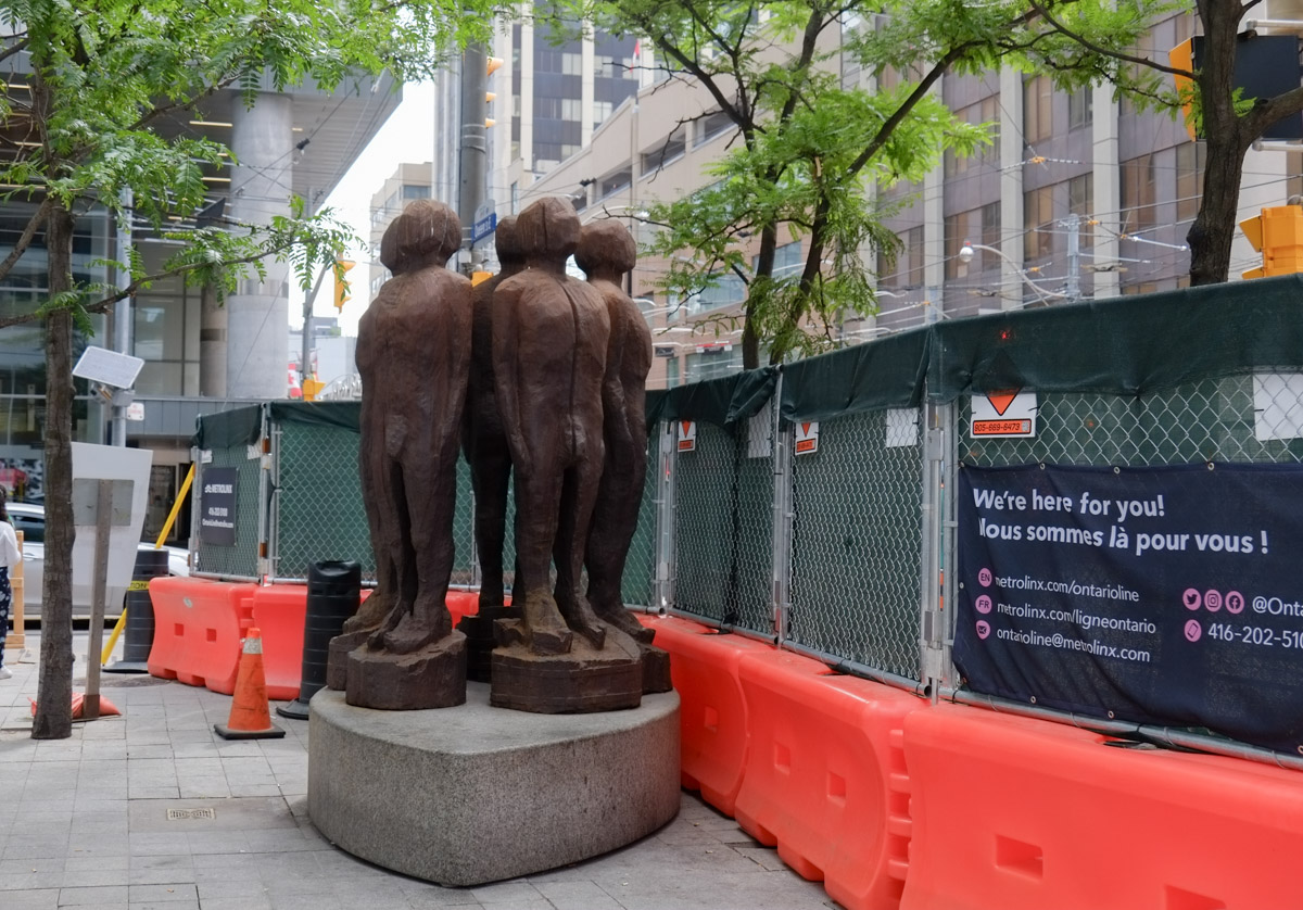
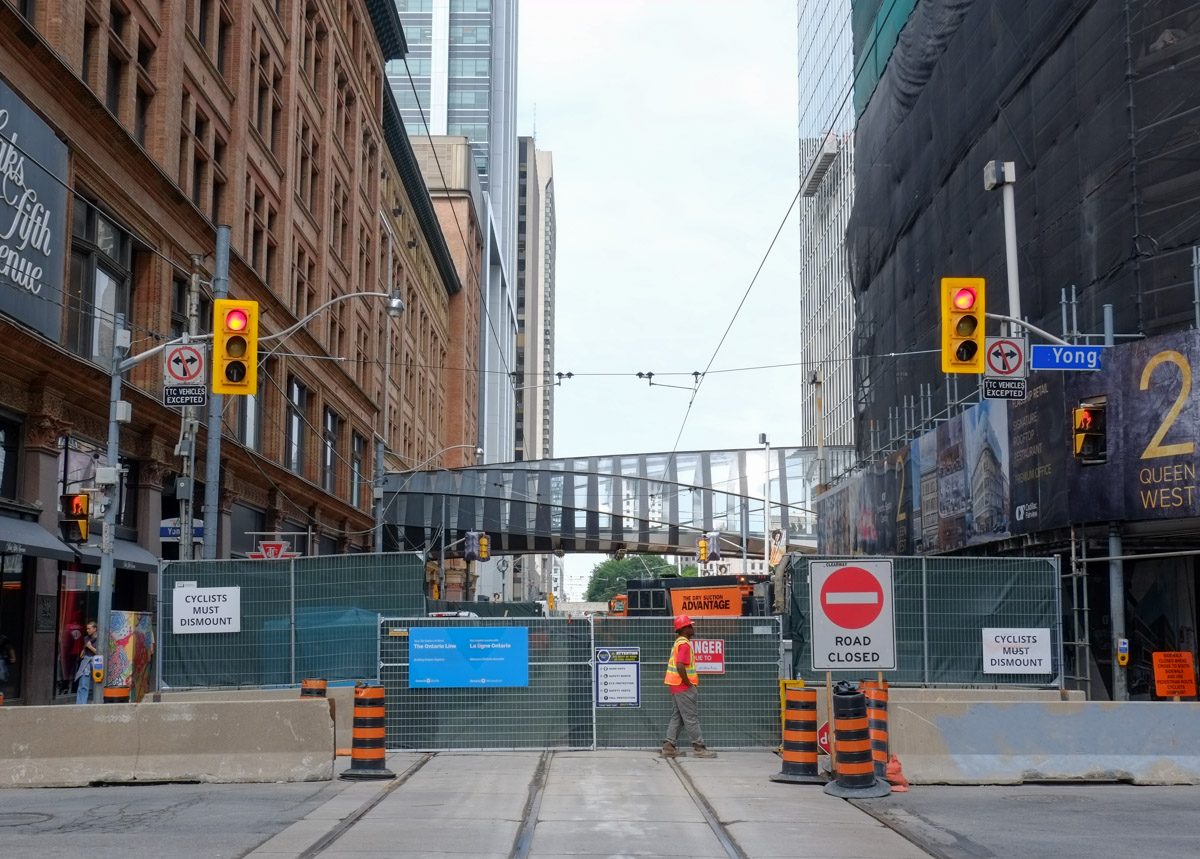
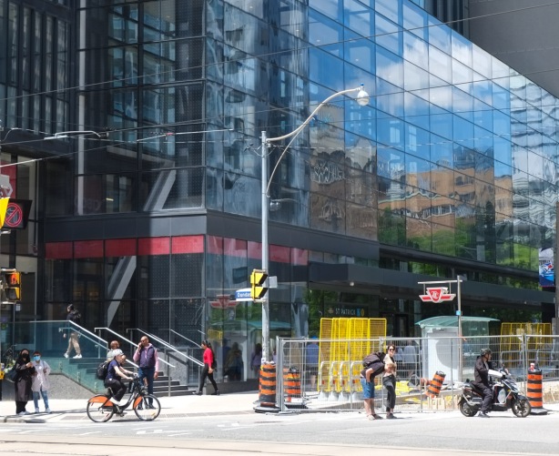
below: The CN Tower sneaks into the photo. At Osgoode, Metrolinx has taken over part of University Avenue for construction of the Ontario Line across Queen Street.


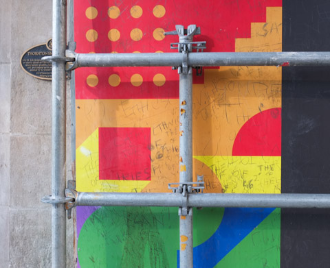
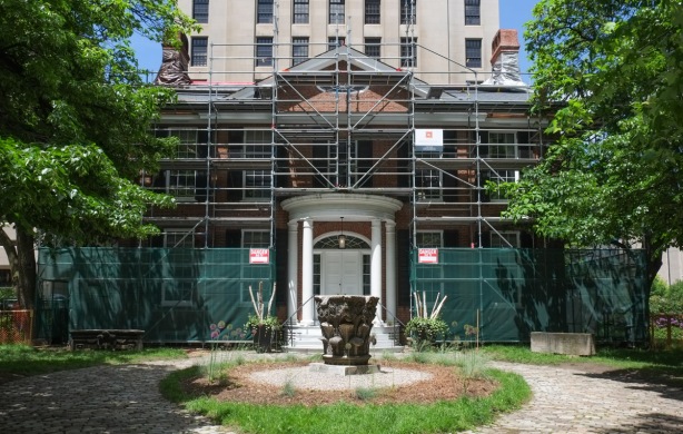
below: Even Campbell House is behind scaffolding.
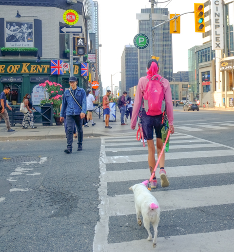
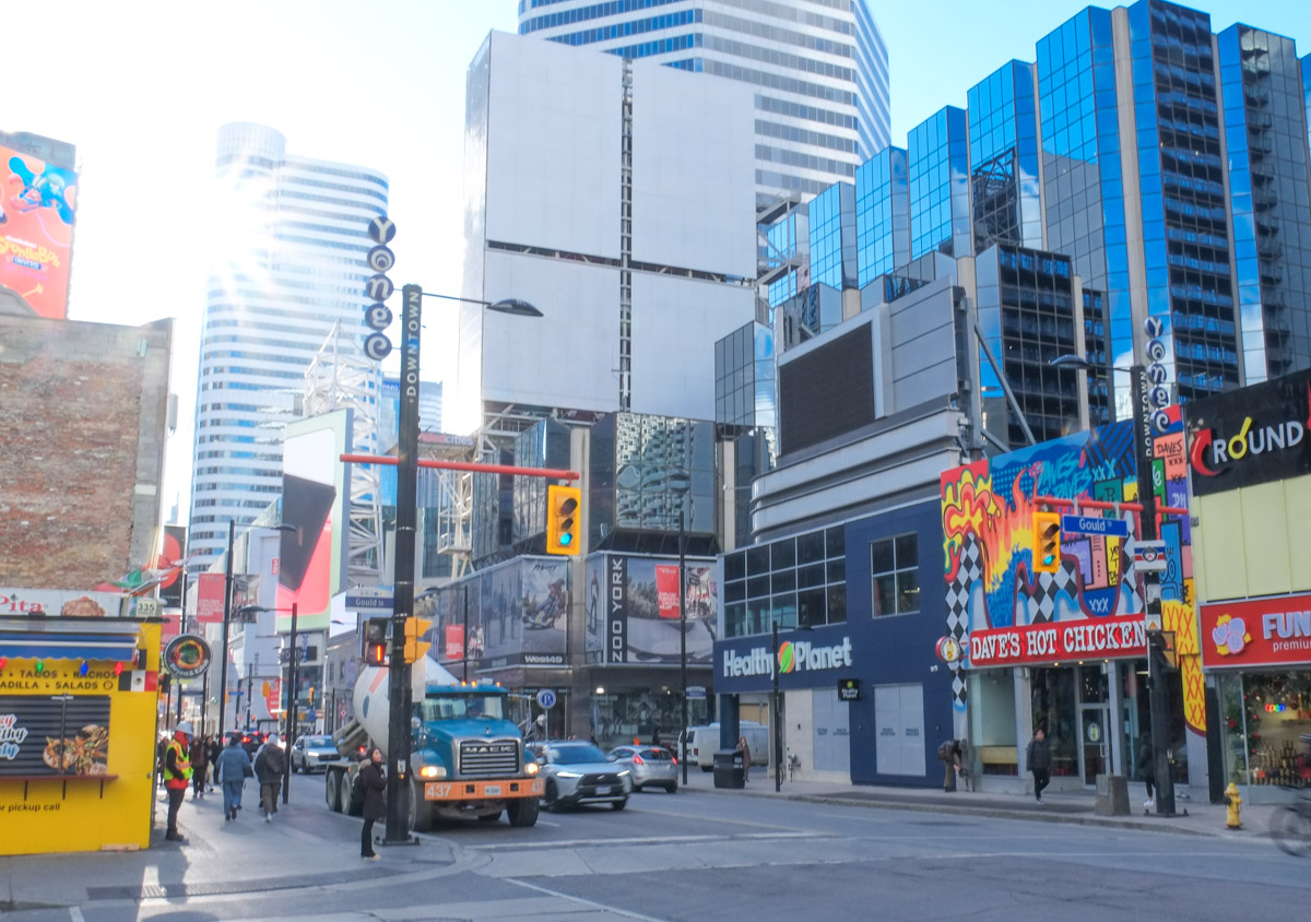
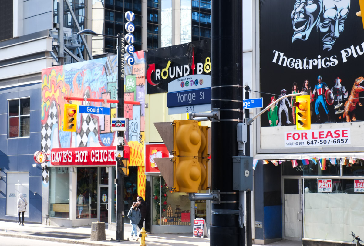
below: Just another Toronto street corner.

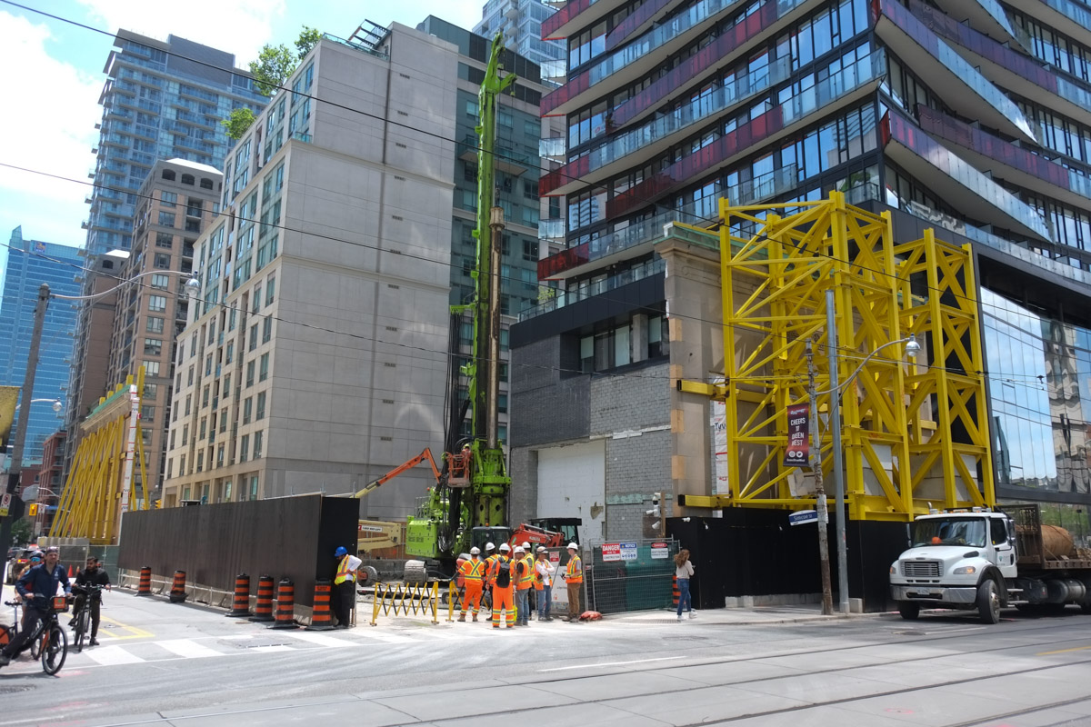
below: Another facade saved. This one is at Queen and Simcoe where a bank once stood.

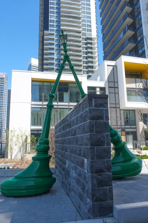
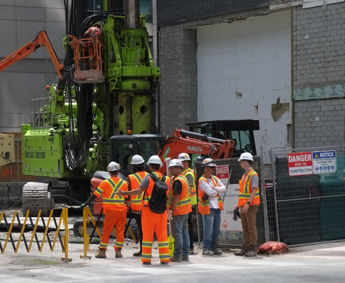
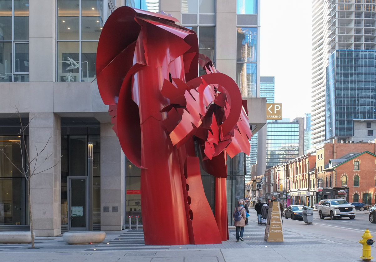
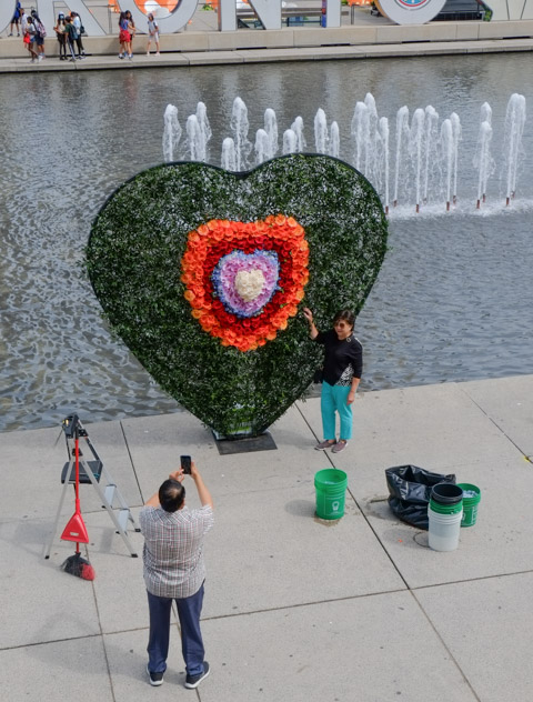
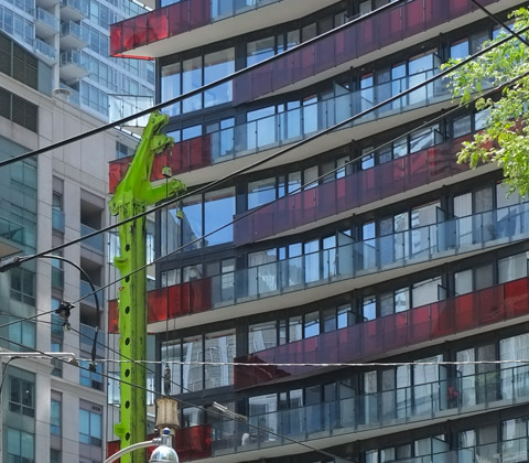
below: The wide open mouth of the green monster reaches upward as it tries to grasp the red balcony between its jaws.
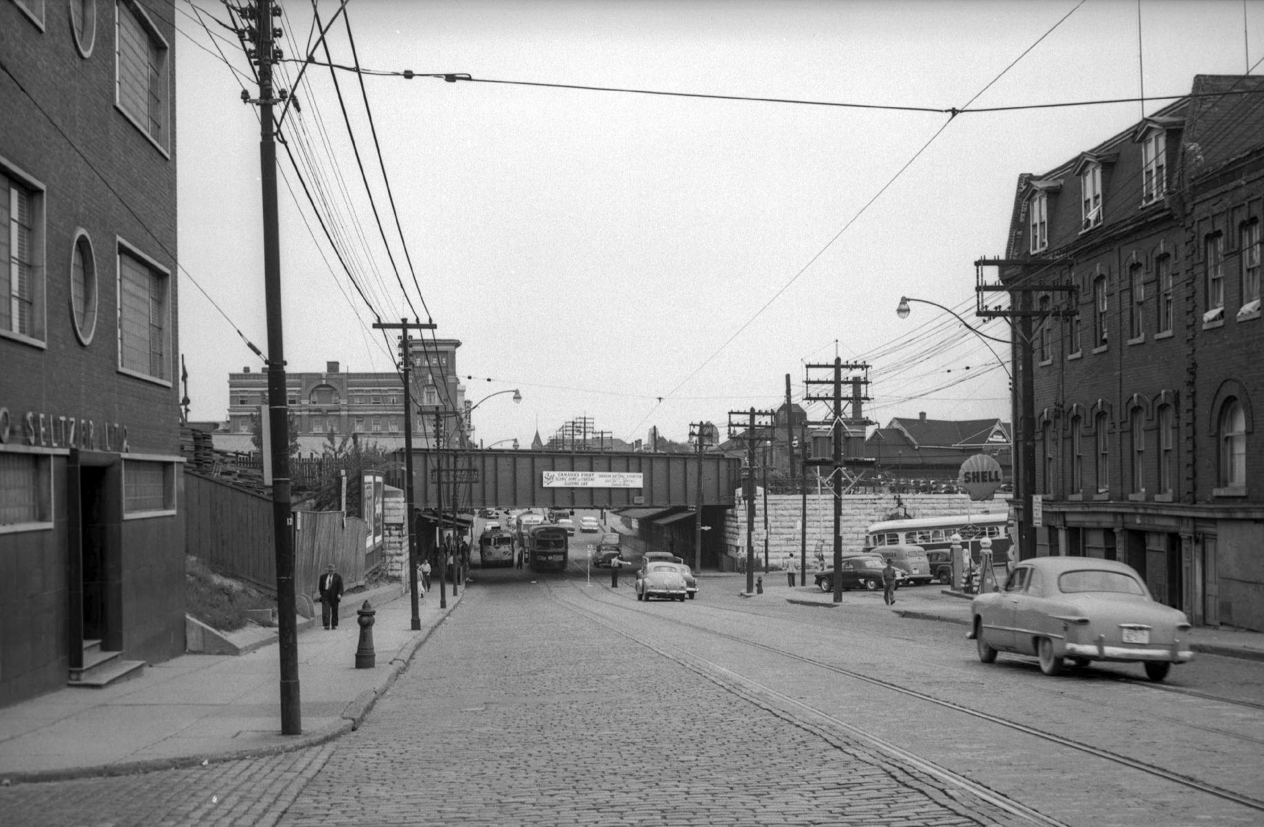
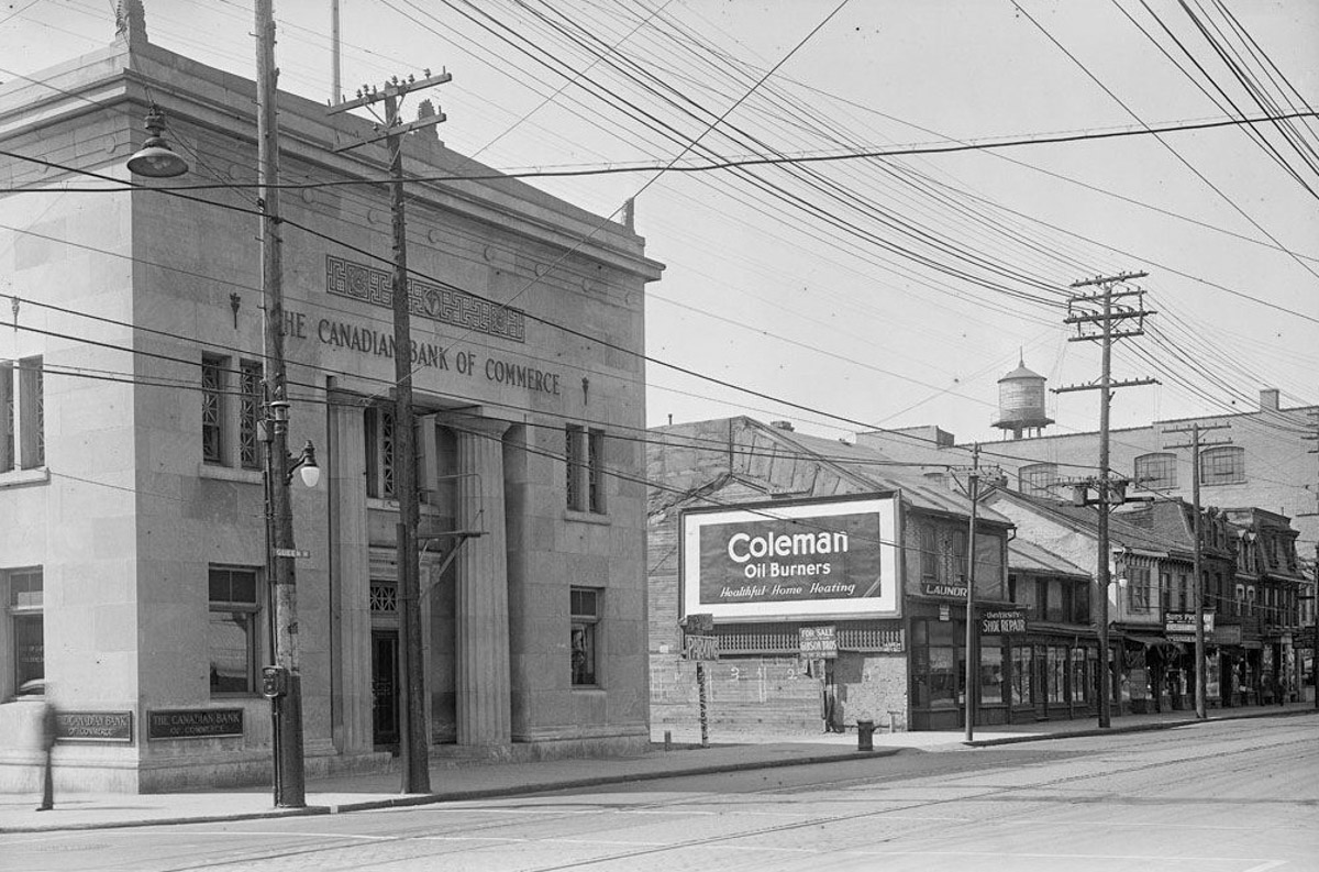
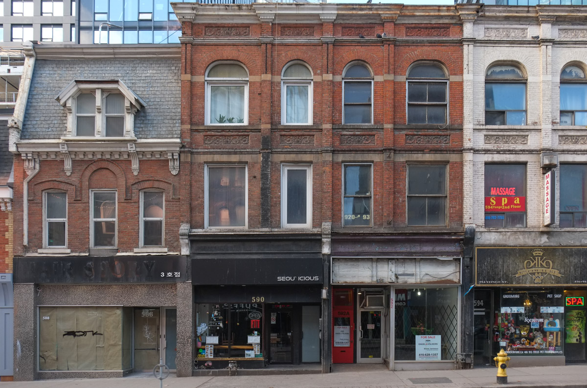
below: This is the bank in question, The Canadian Bank of Commerce, built in 1930 just after the beginning of the Depression. The photo was taken in 1931. Take a close look at the other buildings in the picture, the stores to the right. The structure with the Coleman Oil Burners billboard is gone but take a look at the next couple photos which are of this stretch of Queen West today.

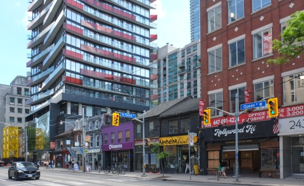
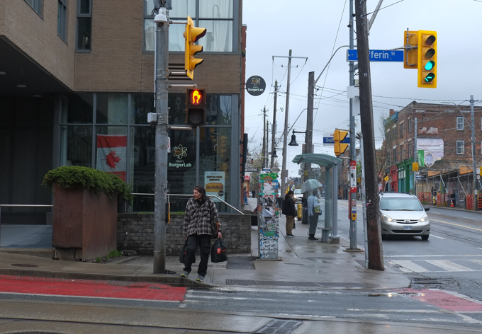
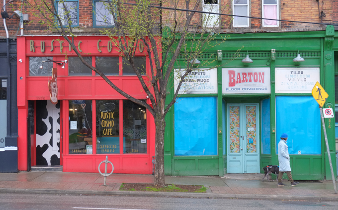
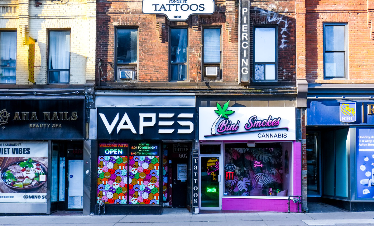
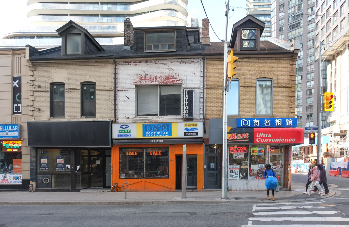
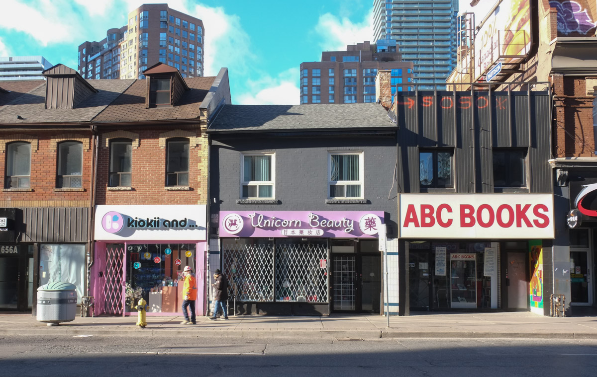
below: Queen West struggles to maintain its character. The store in the middle is definitely in sad shape. It looks like it would collapse if the others weren’t there to support it.


below: There’s a little white “ceremonial” street sign, just below the blue and white Queen St. West sign, that let’s you know that this stretch of road was also named Moses Znaimer Way. Znaimer had a long career in the entertainment industry in Toronto including co-founding CITY-TV, MuchMusic, and more. In Toronto, a ceremonial street name is secondary to the legal name. I am not sure how many there are in the city and I haven’t gone down that rabbit hole to find out. Interesting idea though.
below: Queen and McCaul, looking west

below: Gelber Brothers ghost sign on Richmond Street.

below: The CN Tower… again! and Hooters (do they still exist?)

below: Murals in a parking lot. Both were painted by Alex Bacon.
below: Blue marine life, sharks circling. An ominous hook. This one of many Pangea Seed Foundation sponsored murals in the city. Some of the others appear in a much earlier blog post, “love letters in paint” (2016). Pangea Seed’s original mission was to use science, art and creativity to “inspire positive change around pressing ocean environmental issues”. This campaign has now branched out to increase awareness of the issues involving out fresh water lakes and rivers as well.

below: Restaurants on John Street.
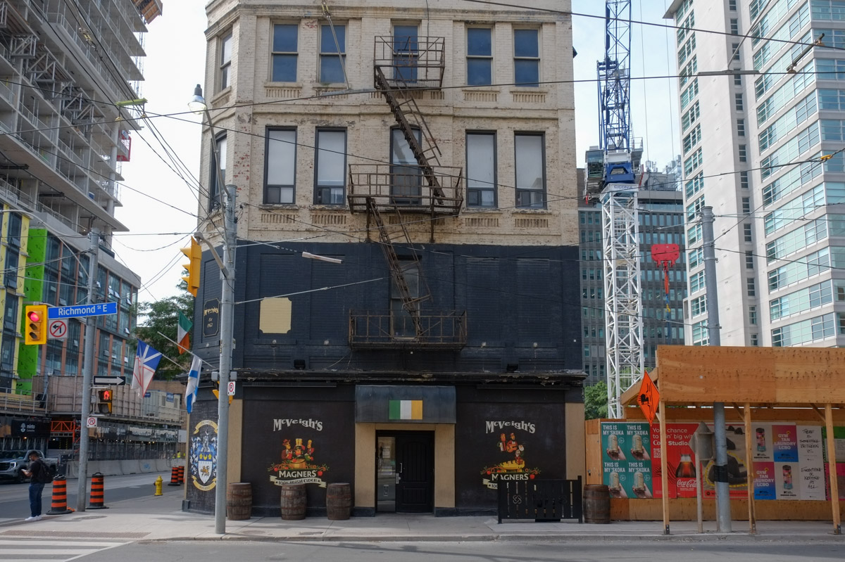
below: A vacant building longing to be another restaurant. In the meantime it’s been painted black… and as I type those words I am reminded of the Rolling Stones song, “Paint it Black”. The song is a bit depressing and negative but then again, so is a blackened building.
The last stanza is “I wanna see it painted Painted black
Black as night
Black as coal
I wanna see the sun Blotted out from the sky
I wanna see it painted, painted,
painted Painted black, yeah
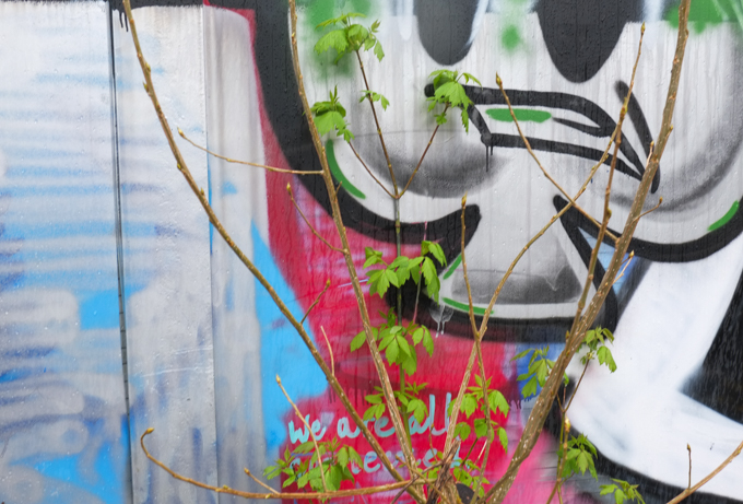
below: “We See You” shout out to the doctors, nurses, and other healthcare professionals that worked throughout Covid. “Thank you”. Painted by Elicser Elliott.

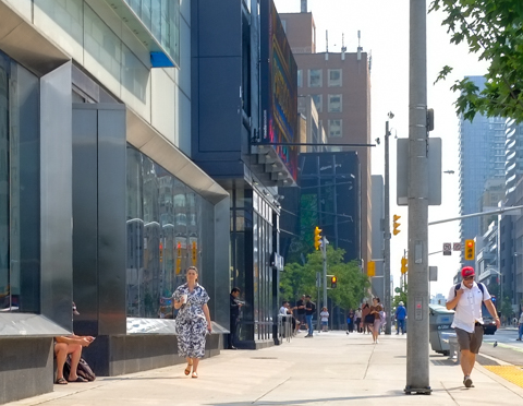
below: Variety on Adelaide. Bricks and stone and a lot of glass.

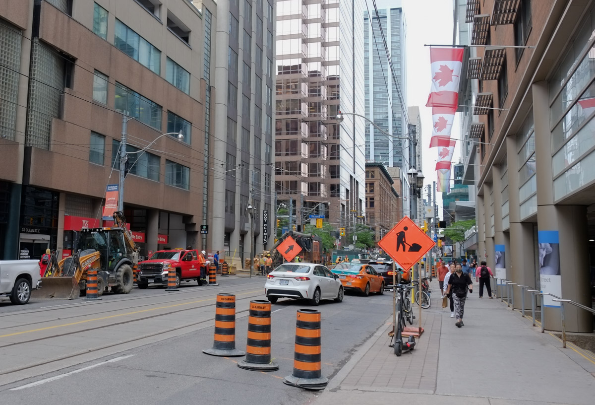
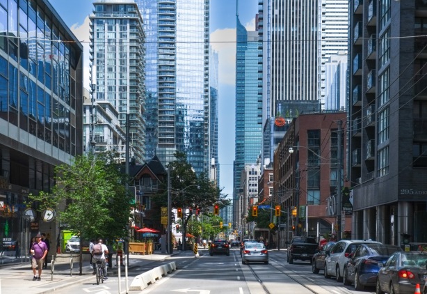
below: Looking east along Adelaide (a one way street with bike lanes and newly rebuilt streetcar tracks).
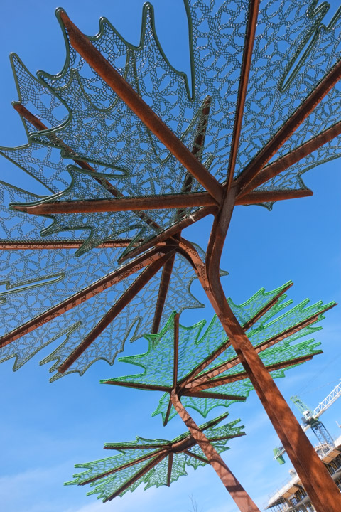
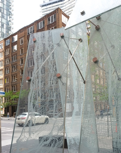
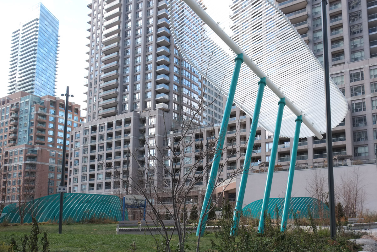
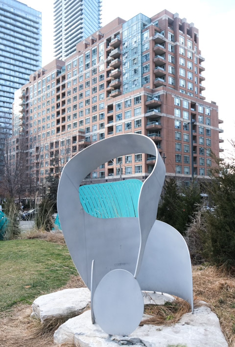
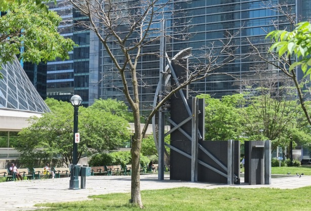
below: Looking down the middle of the glass and metal sculpture in Grasett Park. If you were to step back a bit, the sculpture takes on the shape of sails of a ship.
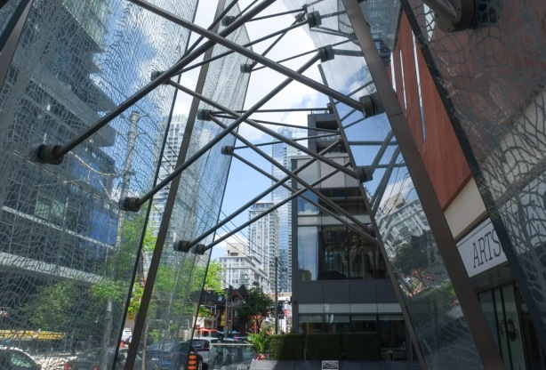
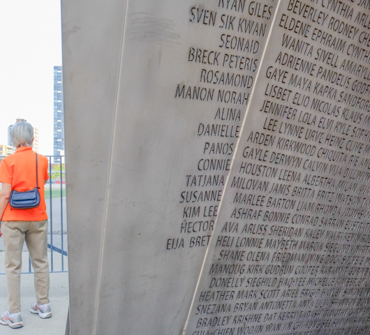
below: Looking through the netting/glass, same sculpture as above. The park is named after Dr. George Robert Grasett, a medical doctor (1814-1847). The park stands on the site of the Emigrant Hospital built in 1847 to treat “ship fever” (typhoid) and other sicknesses in the Irish immigrants who started arriving in greater numbers that year. Many died on the journey and many more were sick when they arrived. Dr. Grasett was appointed as Medical Superintendent of the hospital but he died of typhoid fever about a month afterwards. His name, as well as the names of the other doctors, nurses, and orderlies, (and one priest) are engraved on the benches in the park.

below: Designs in the pavement – etched into the granite is an 1842 map of Toronto.

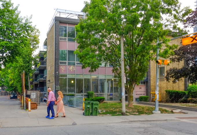
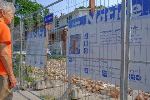
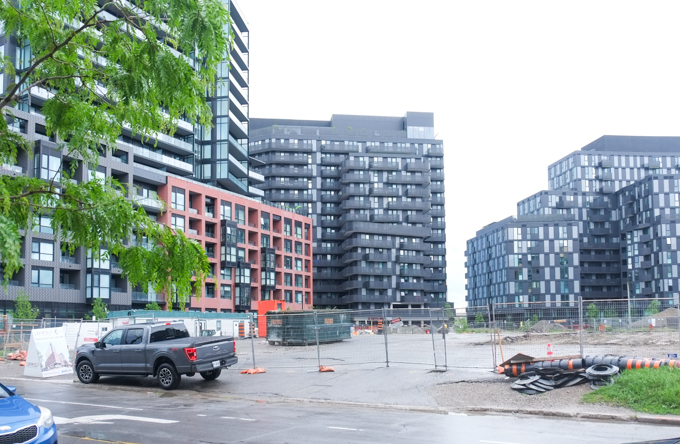
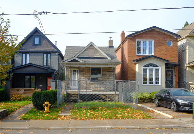
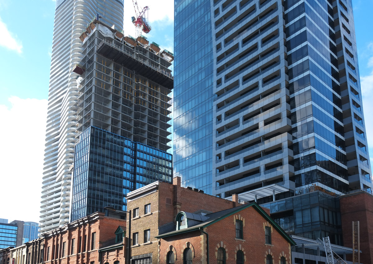
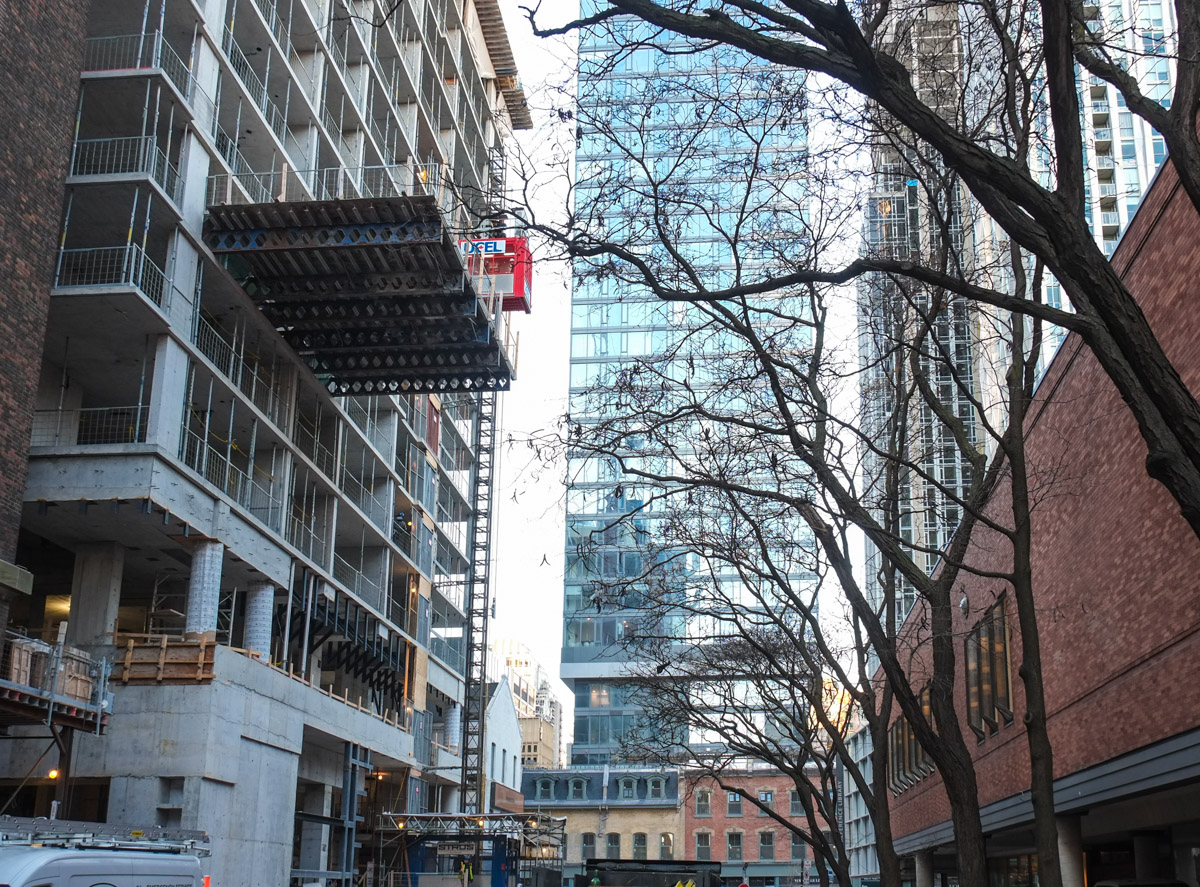
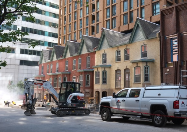
below: Widmer Street, where a row of old houses has been preserved, but are dwarfed by the developments around them.


below: King Street, looking east from John Street.

below: It’s always there! The CN Tower again.

below: Southeast corner of King and John. Another glass wall.

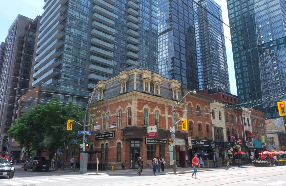
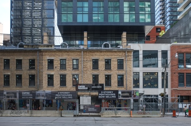
below: Another row of preserved brick facades. This time on King West.
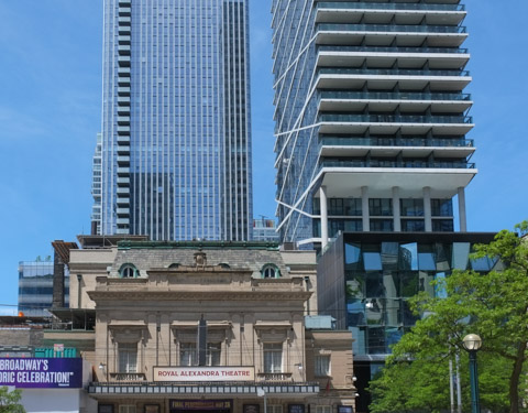
below: Rising above the Royal Alex Theatre

below: This is “The Poet, The Fever Hospital” (1992) by Bernie Miller in David Pecaut Square
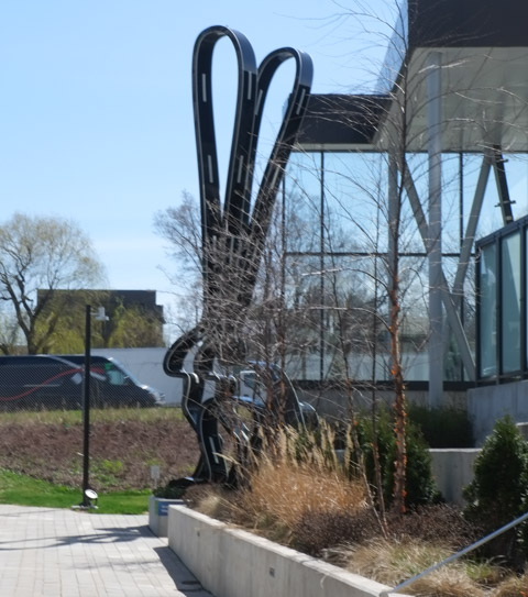
below: Nearby is a new sculpture by Gillie and Marc and it has a very long title: “He was on a Wild Ride to a Safer Place with Rabbitwoman and a Dogman” (not the Dogman from the childrens books!). There is an empty seat at the back of the bike and it’s waiting for you to join them on their wild ride!


This post has grown. It’s longer than I had envisioned it when I started putting ideas together a few days ago. I am not sure whether to thank you or to congratulate you for getting this far! Maybe both. Anyhow, I hope that you’ve seen a few new things, or interesting bits, as you’ve scrolled through this post. Perhaps the pictures have brought back some memories? In the meantime…..
As promised earlier, more quilts to end the post.


“Sing poets of this beauty
Sing choirs of this inviolate pride
Make these moments precious to history
Let these scenes live in every eye”