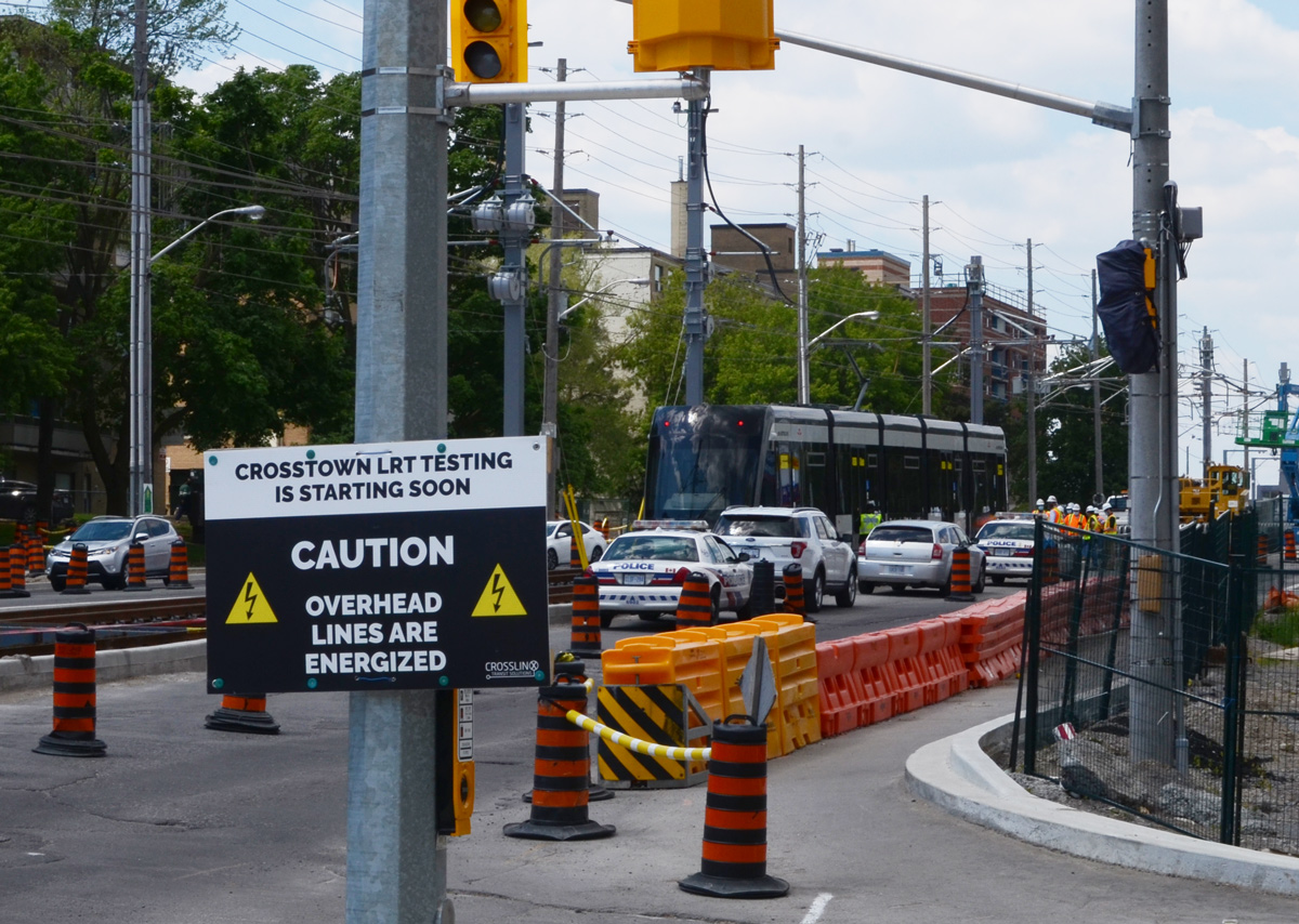
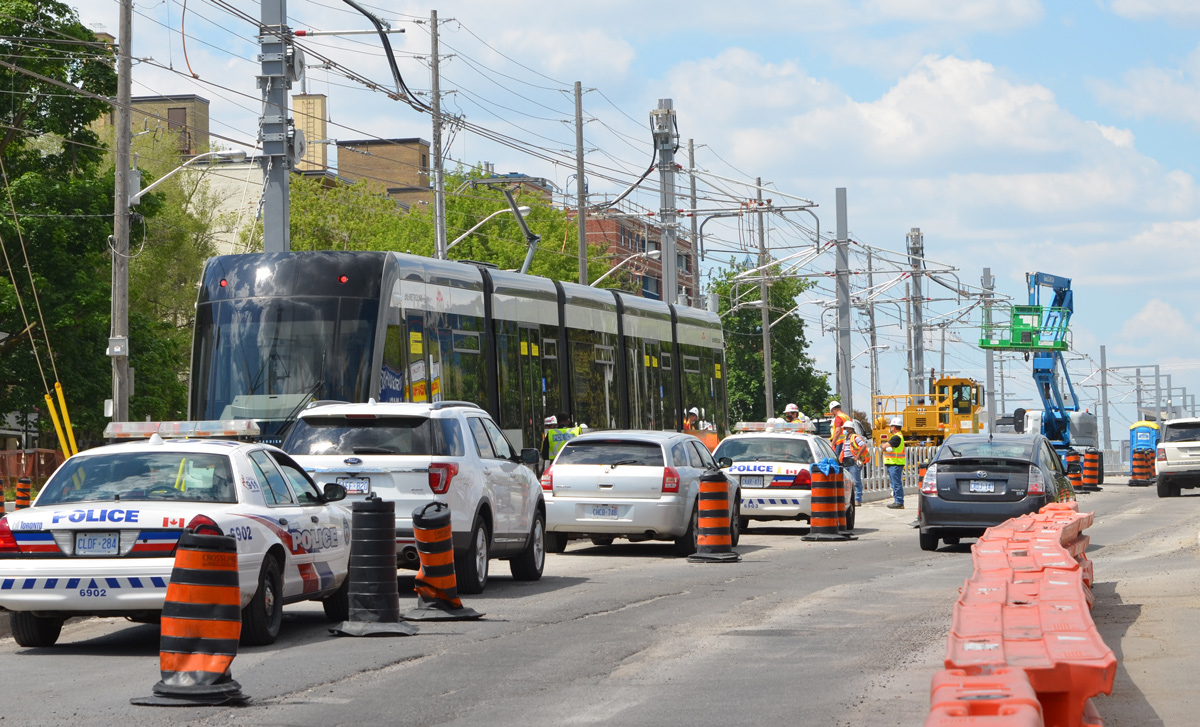
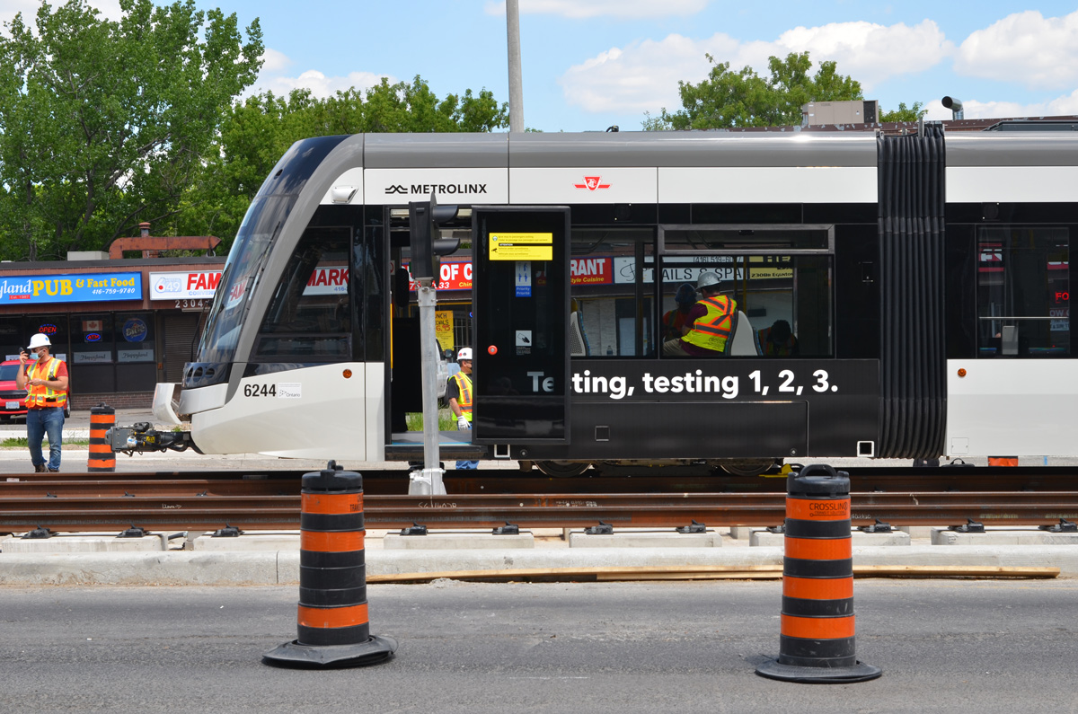
As everyone knows, the Eglinton LRT took FOREVER to plan, build, and test. Way back in June 2021, I posted about going to Kennedy and Eglinton to see the first LRT trains being tested (On a mission to Kennedy station). Little did we know then that it would be almost five years later before the trains came into service.
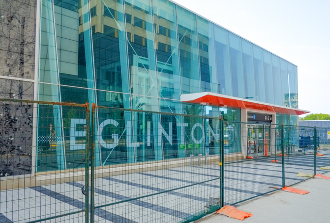
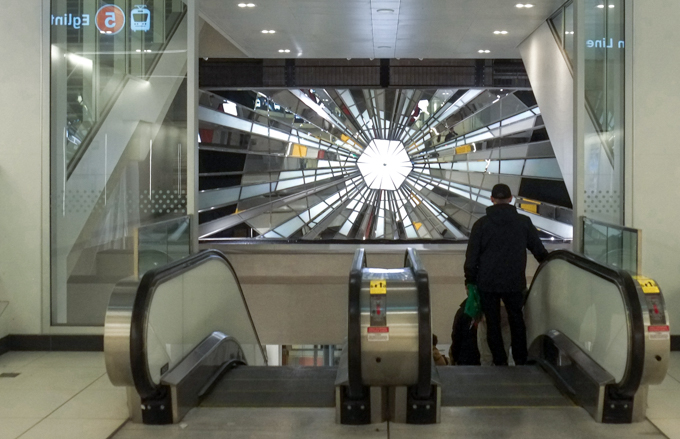
below: Some of the stations have artwork (six of them I think). This is the glass and mirror installation at Eglinton, “Light from Within” by Louise Witthöft & Rodney Latourelle (Witthöft Latourelle)
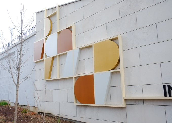
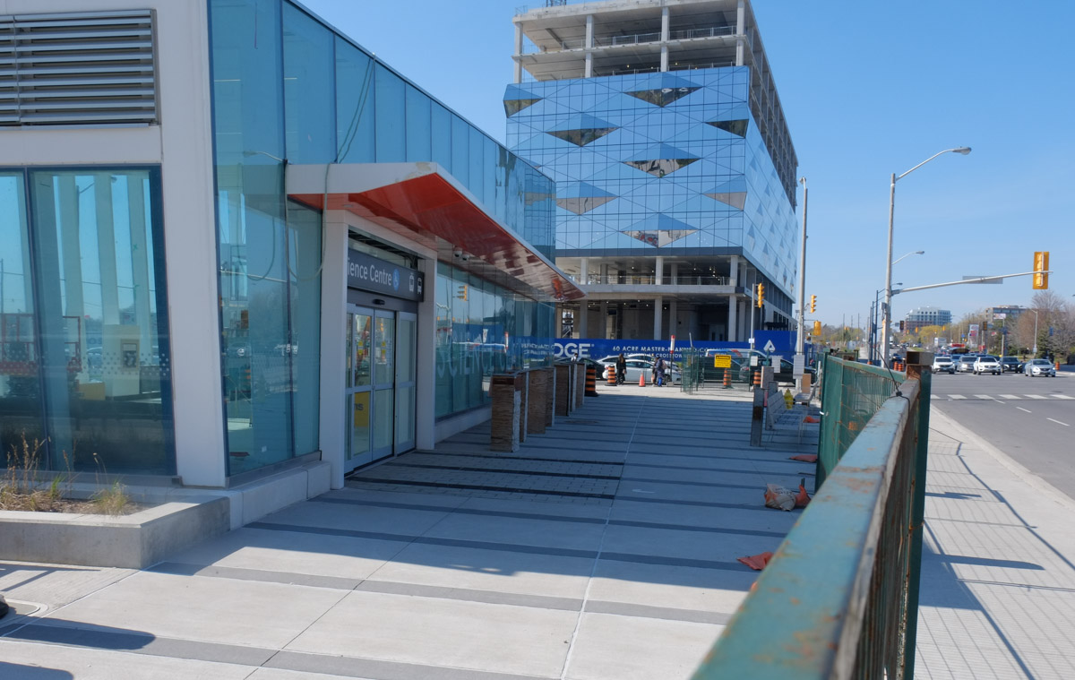
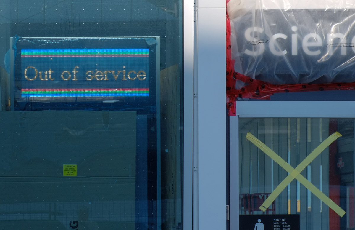
below: There is also some colour at Don Valley station (formerly known as the Science Centre). “Total Luna Eclipse” by Sarah Morris is a series of circles and overlapping circles in bright colours.
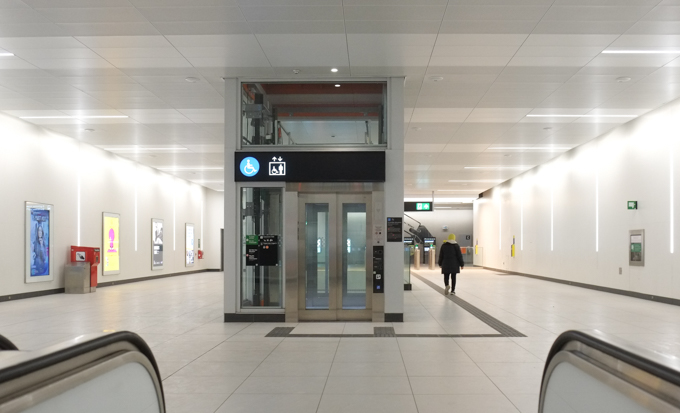
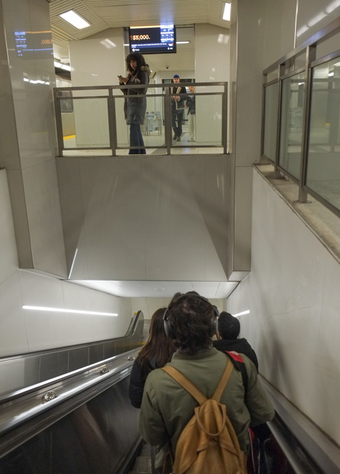
below: This is the interior of the concourse level on one of the subway stations along the Eglinton line. I am not sure which one it is because they all look the same. White everywhere, with an elevator in the middle.
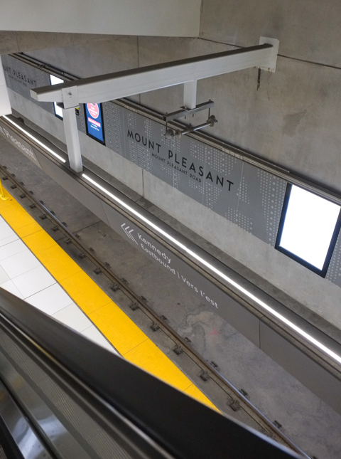
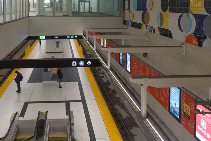
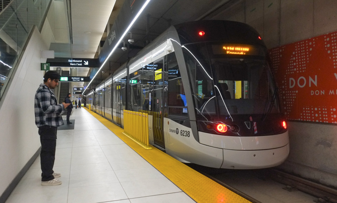
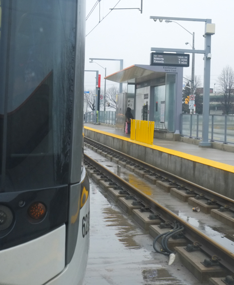
below: Waiting on the platform at Don Valley, the last underground station before the tracks surface on their way eastward towards Kennedy.
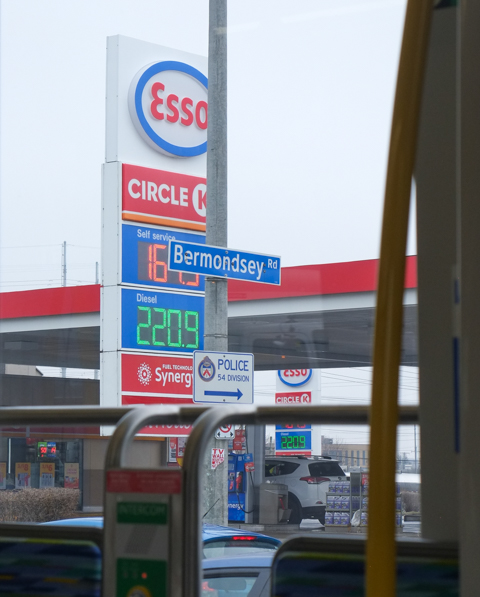
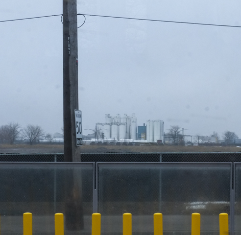
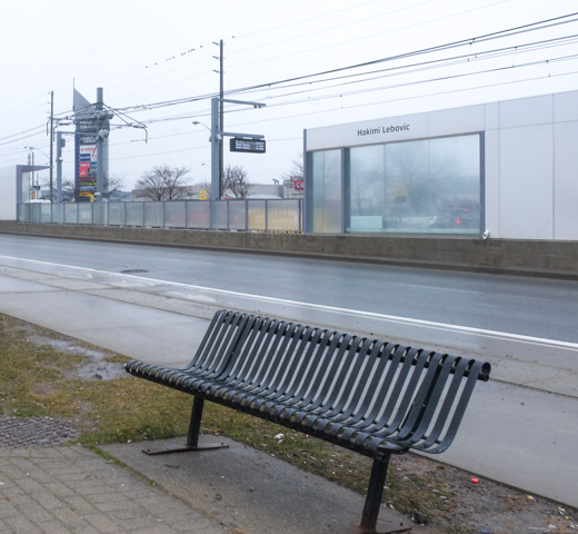
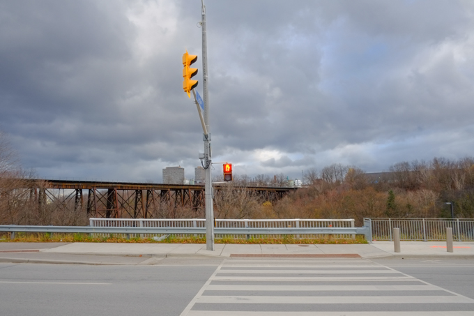
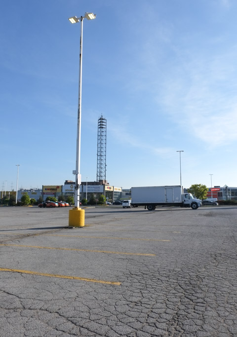
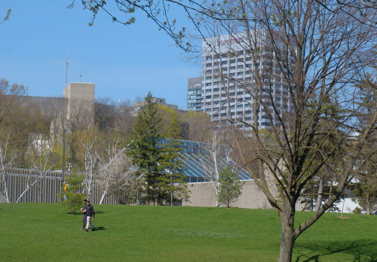
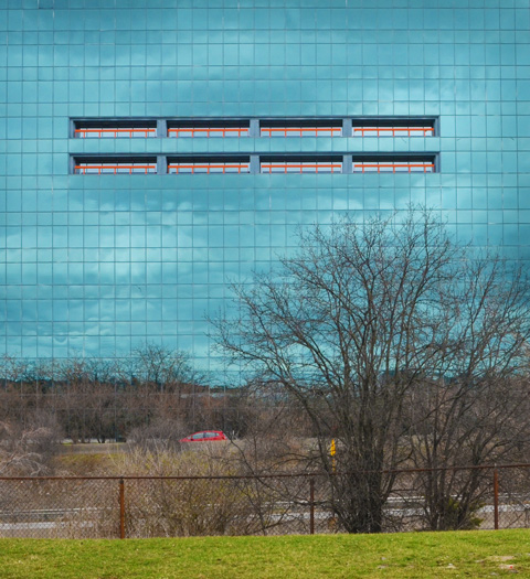
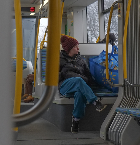
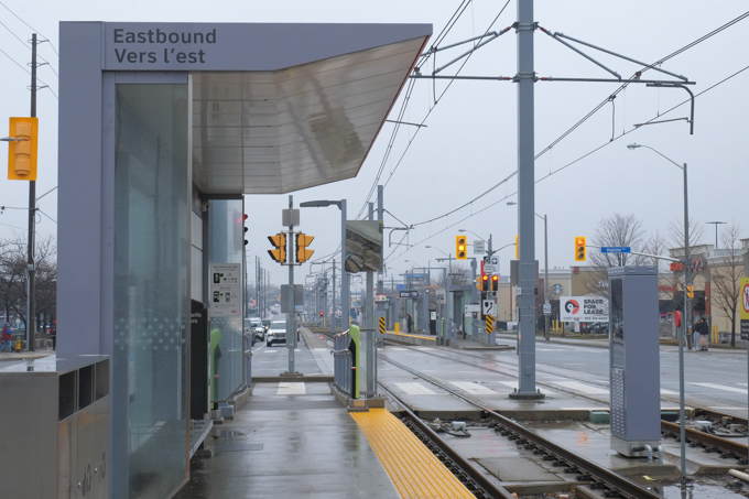
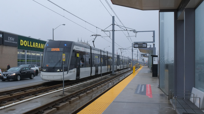
below: My apologies Scarborough, but you are rather dull to look at from this angle….
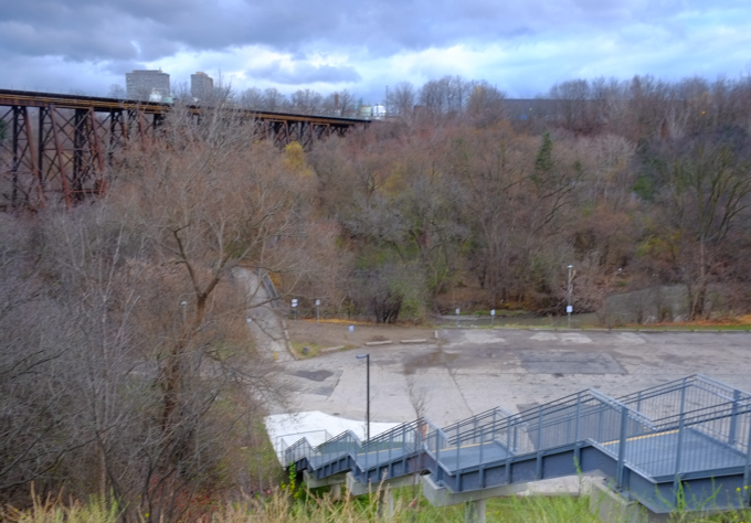
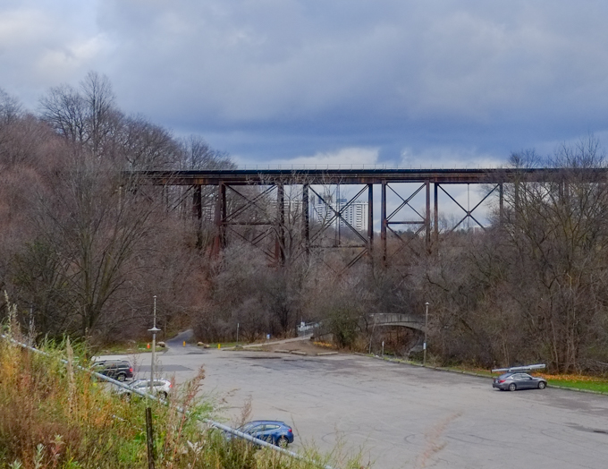
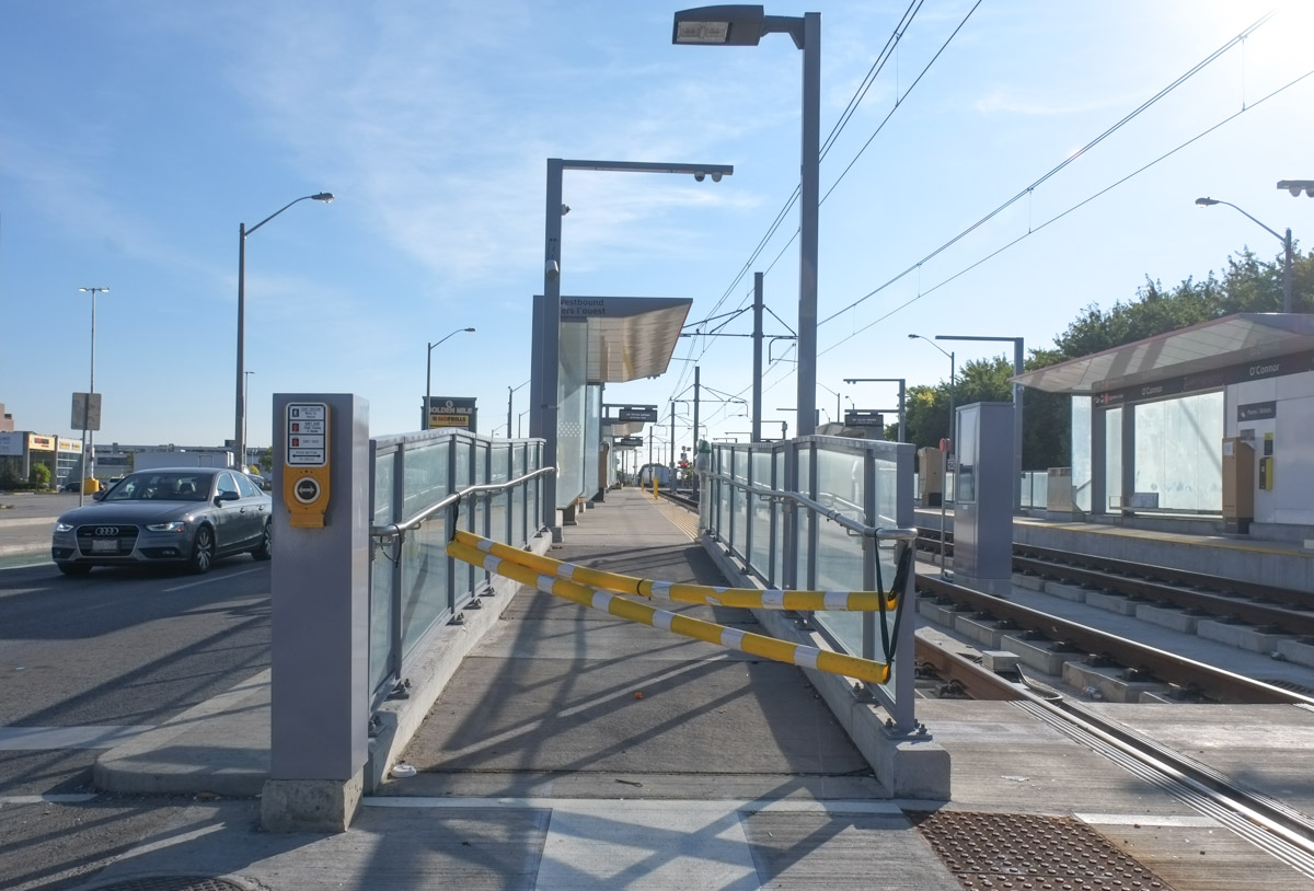
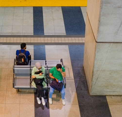
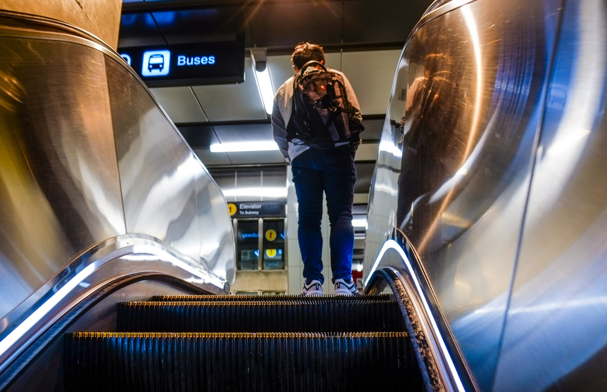
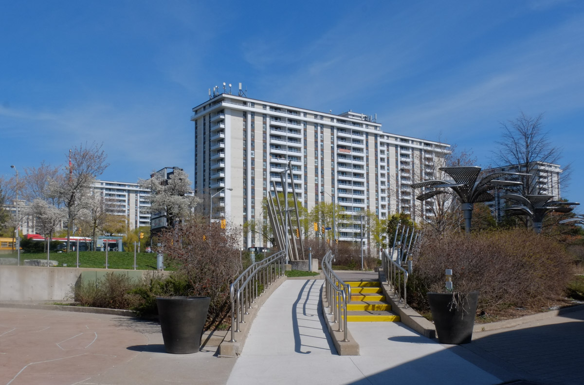
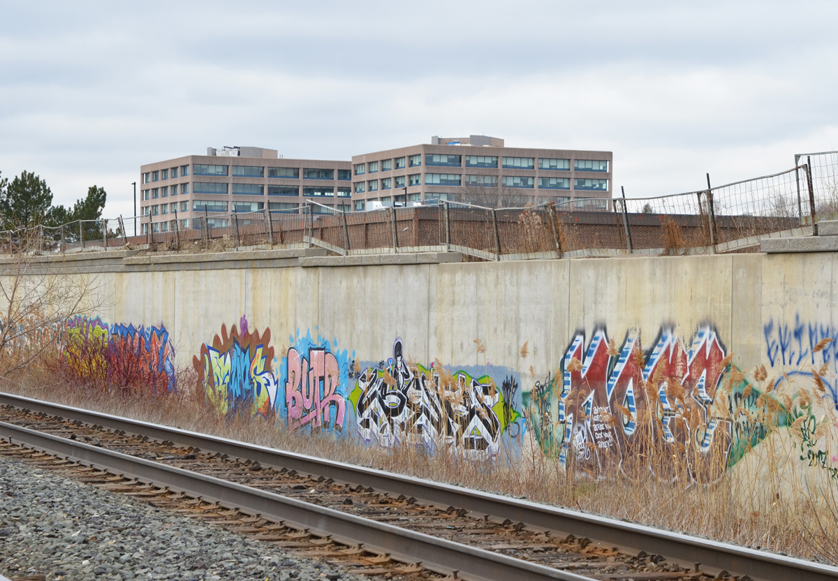
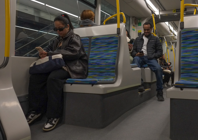
below: But most of us don’t ride transit for the scenery
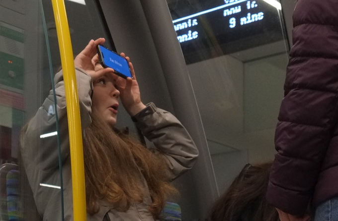
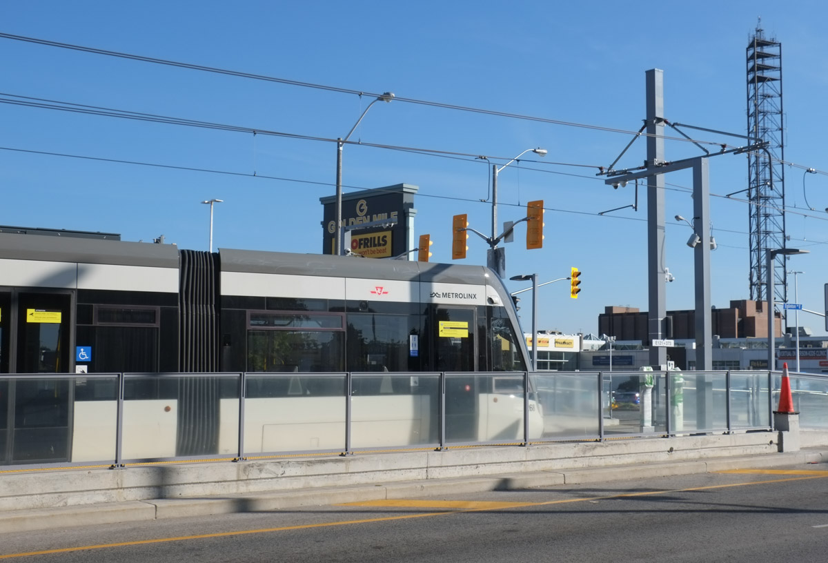
Nothing really exciting but there is definitely a sense of relief that it’s finally open. It took too long and cost too much but it’s running….
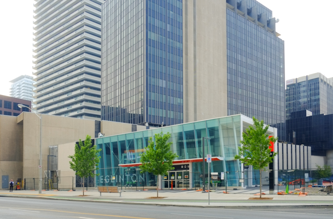
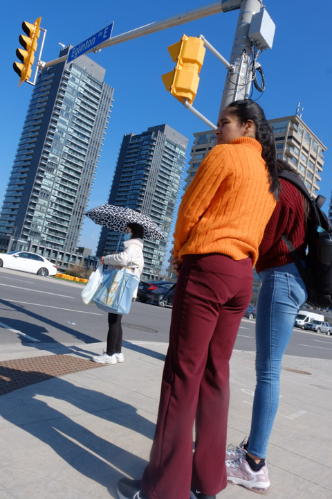
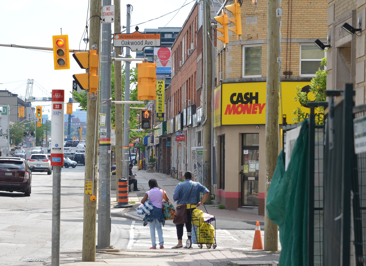
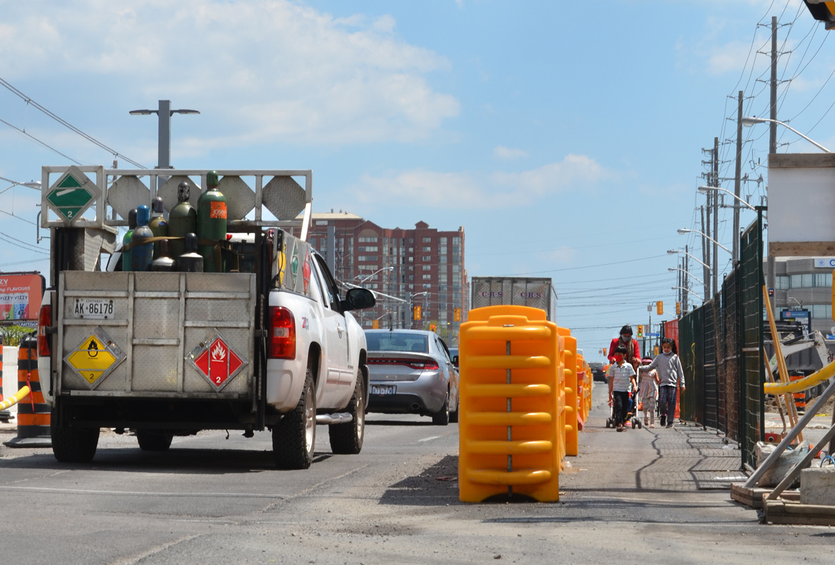
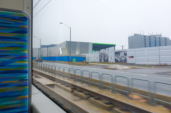
In a lot of ways, the tracks running down the middle of Eglinton Avenue create a wall, especially for pedestrians. For better or worse though, this section of Eglinton has never been pedestrian friendly. It has been designed for cars. And that’s probably not going to change in the near future.
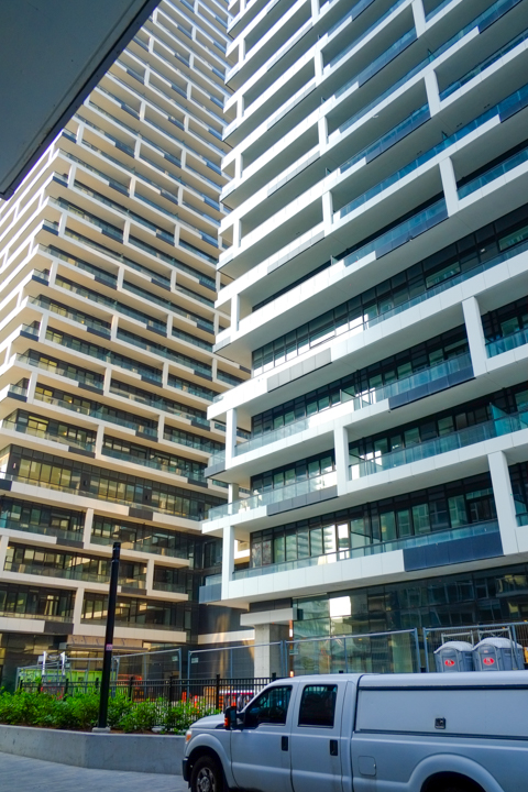
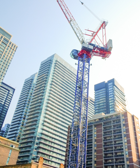
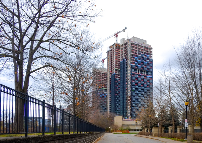
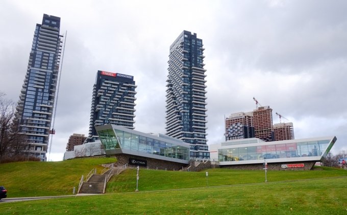
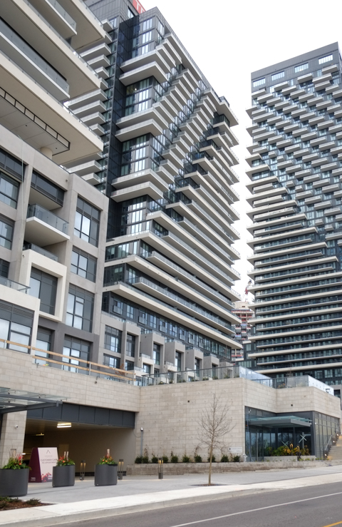
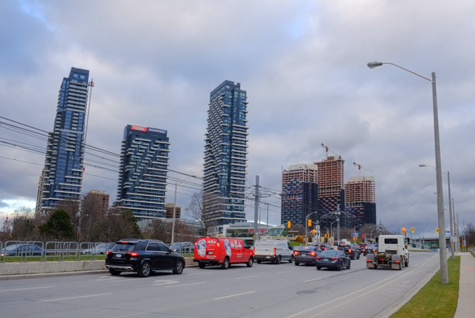
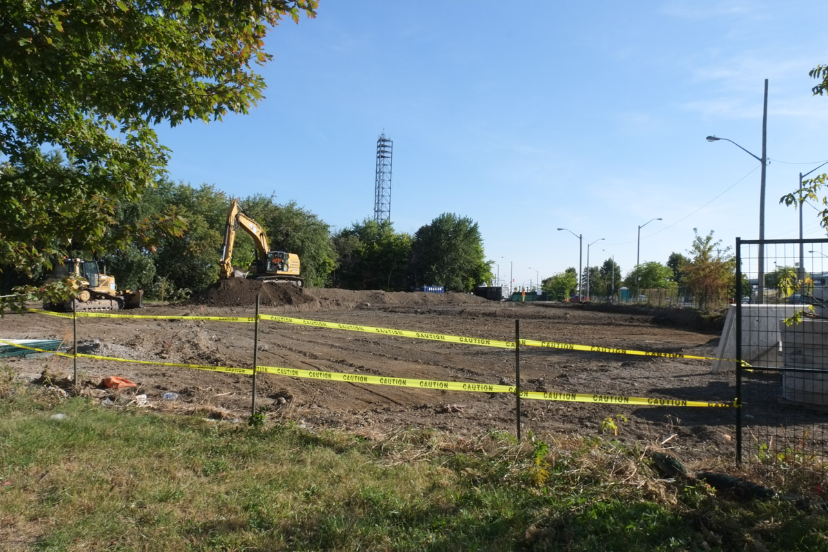
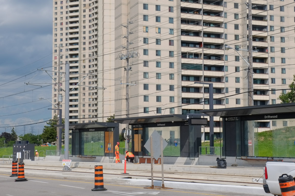
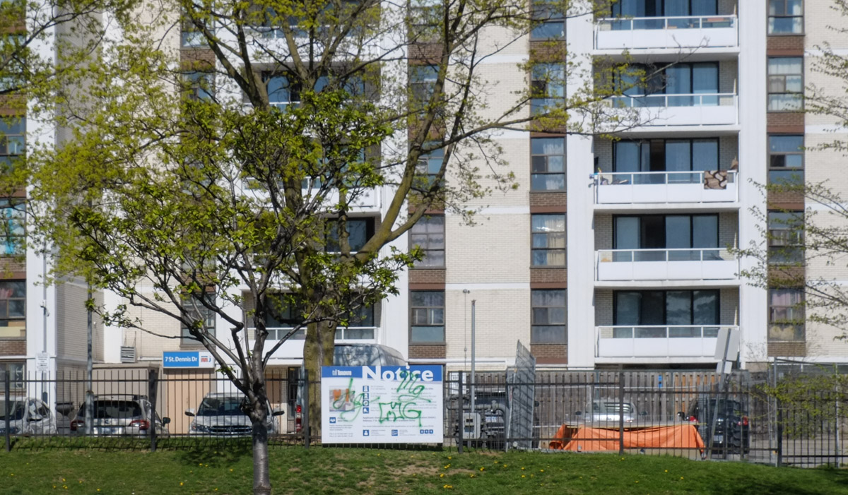
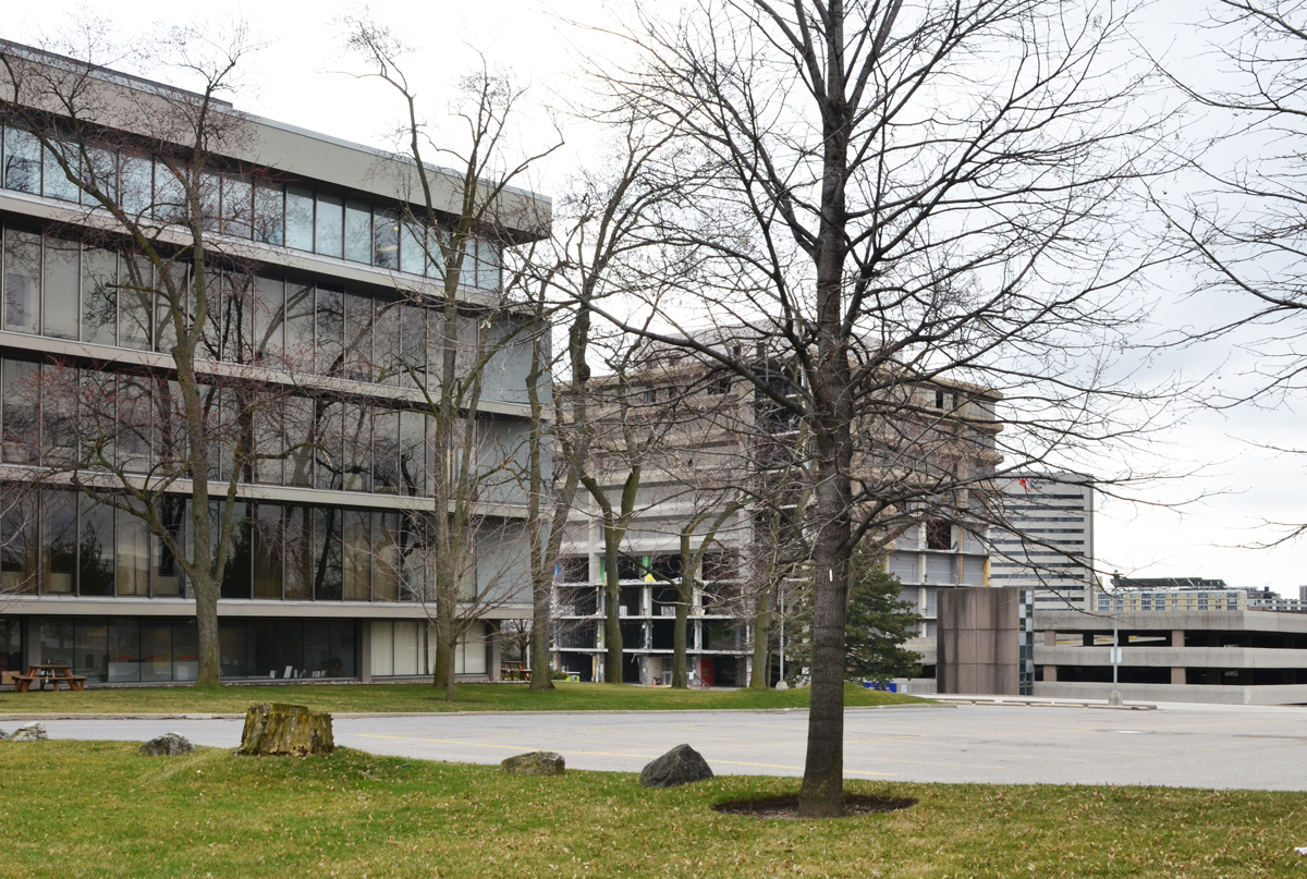
But the coming of the LRT will affect development along Eglinton (or rather, has already started to affect development).
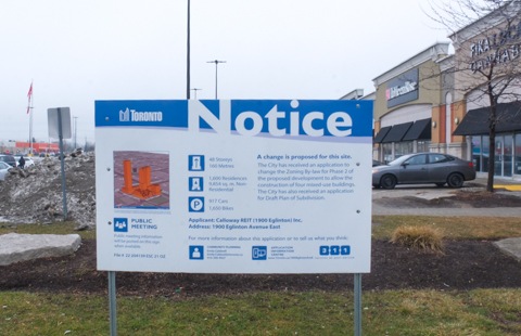
below: 1900 Eglinton East – From shopping center with lots of parking, to four mixed use buildings up to 48 storeys high. Will the slow down in the condo market affect this? If you are interested in this, it is application number 19208733ESC21OZ and the link takes you to the relevant City of Toronto webpage (Good luck!).
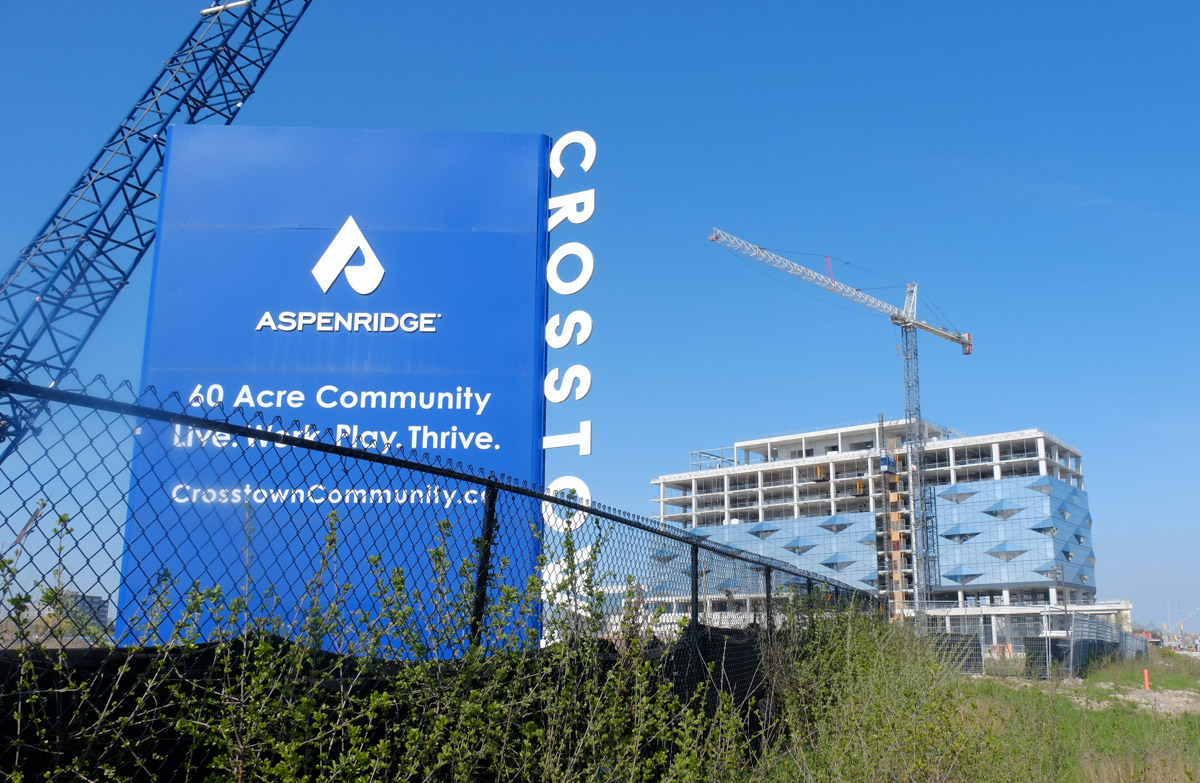
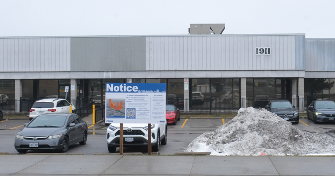
below: At 1911 and 1921, out with the old and in with 8 buildings, 4 towers, a park, and 2 new streets. This is almost right across the street from the picture above (between Pharmacy and Warden). The application wasn’t completed until Nov 2025 so not much is going to happen here for a long time yet.
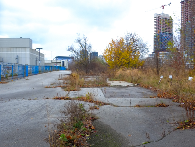
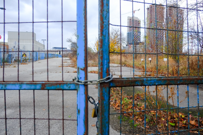
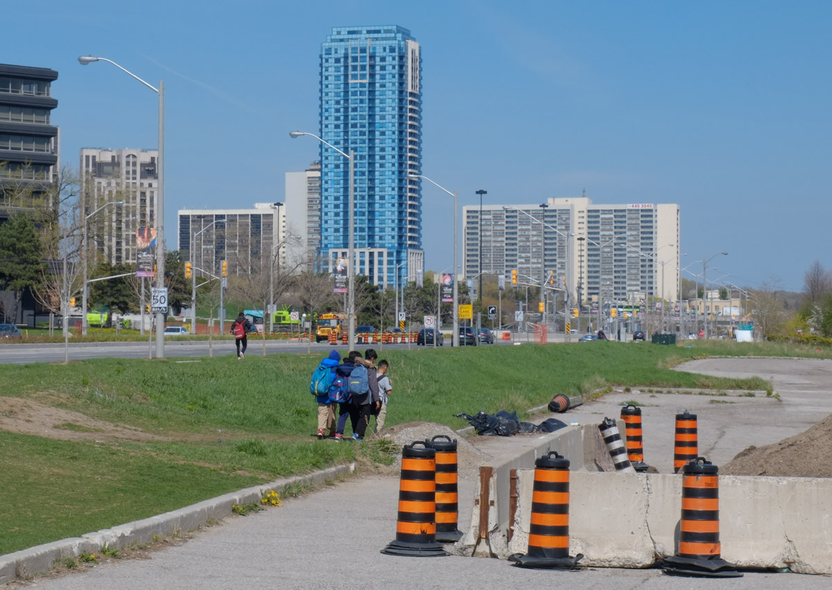
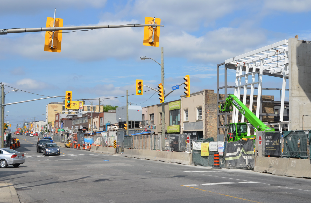
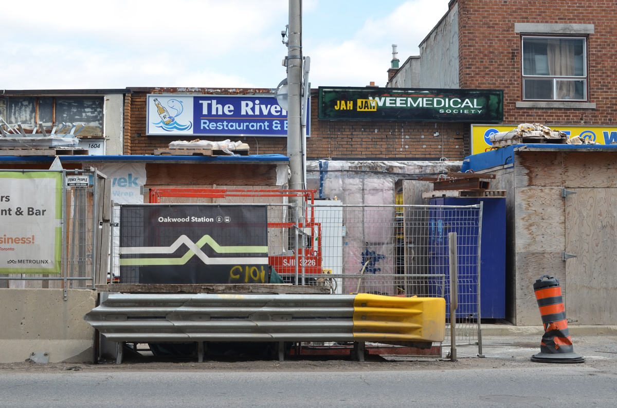
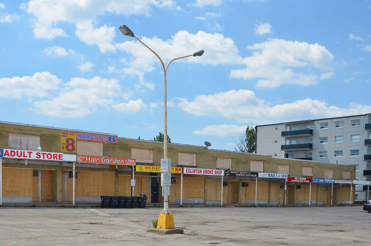
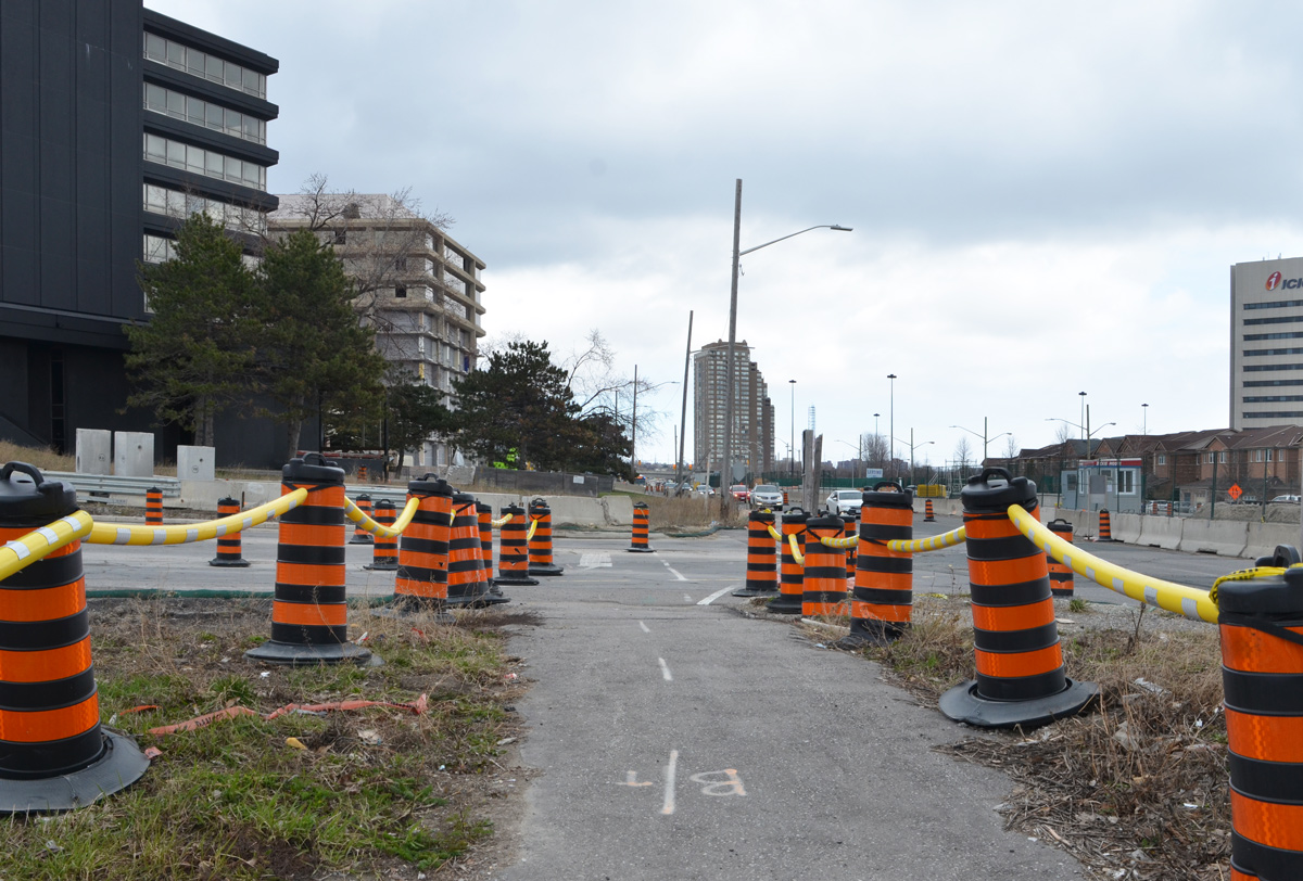
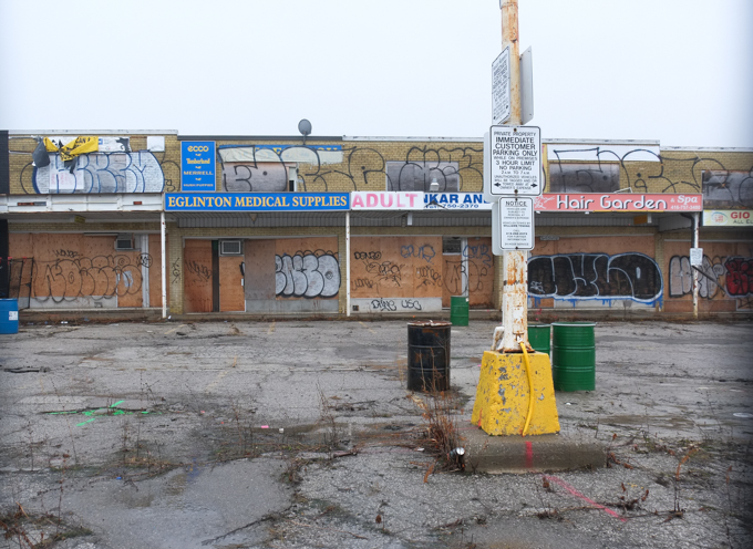
Redevelopment in Toronto is slow. This plaza (strip mall) at Kennedy and Eglinton was already boarded up in 2021. It looks a little scruffier and a little rougher now but otherwise, not much has changed in five years.
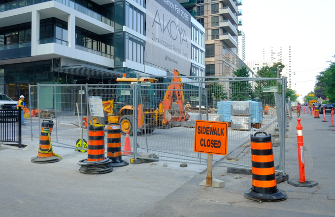
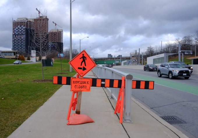
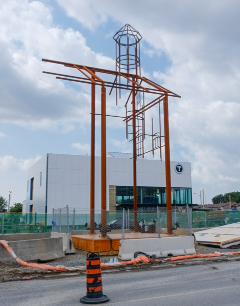
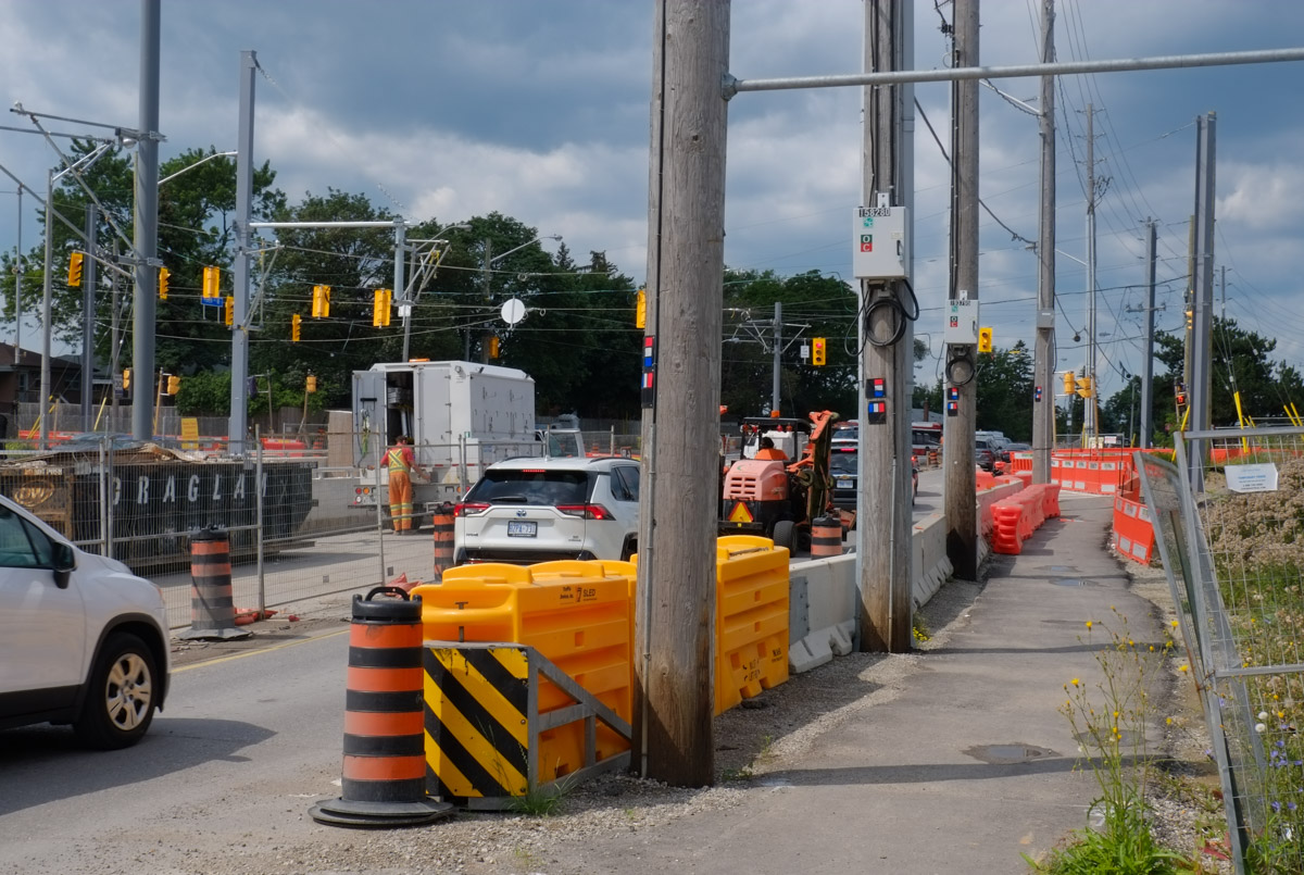
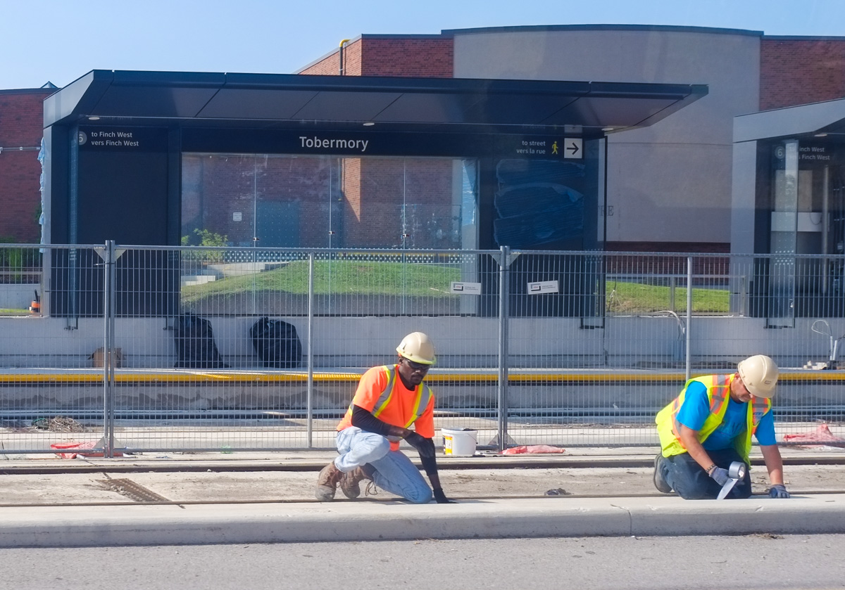
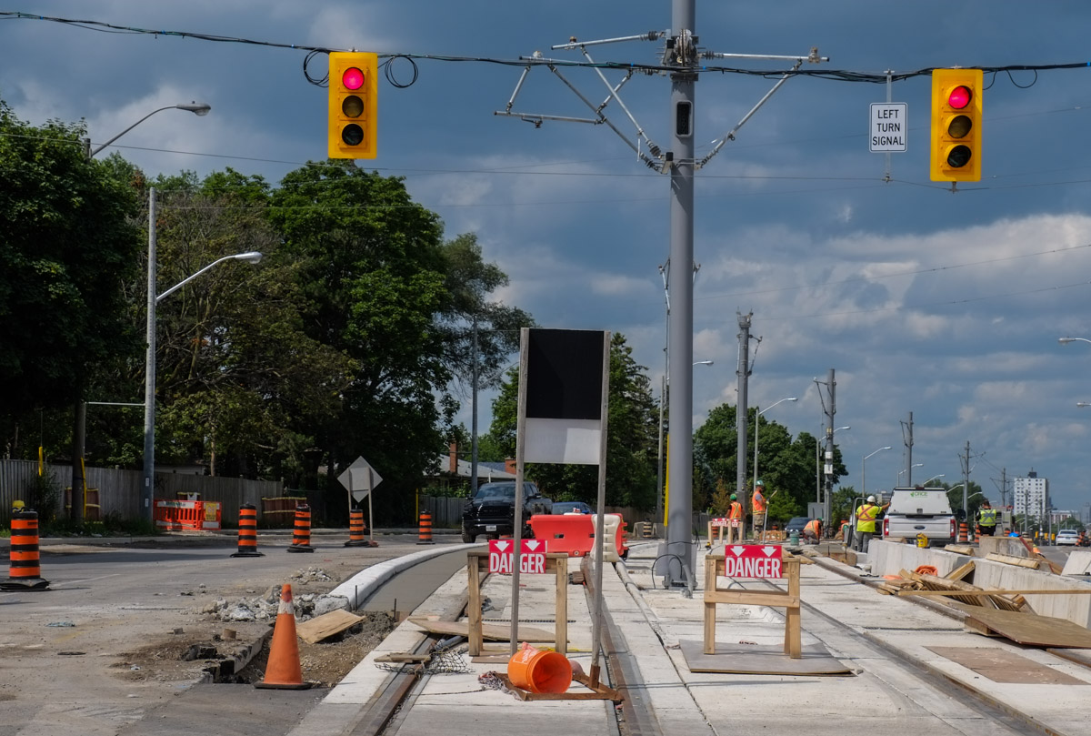
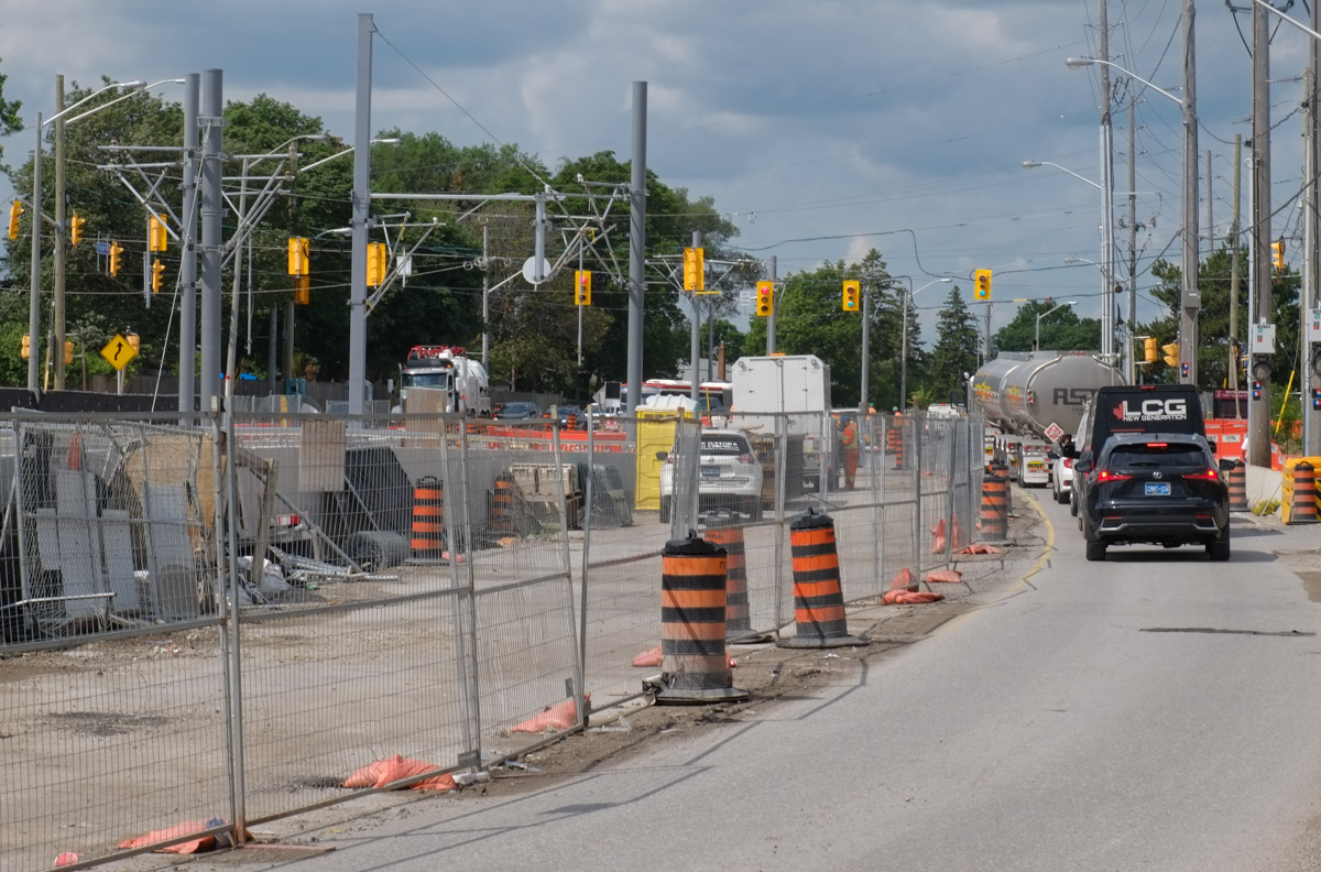
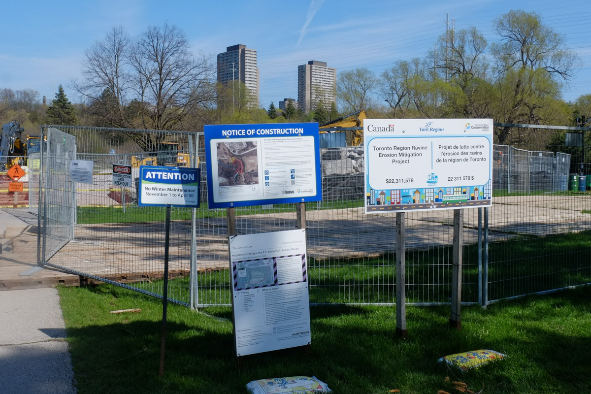
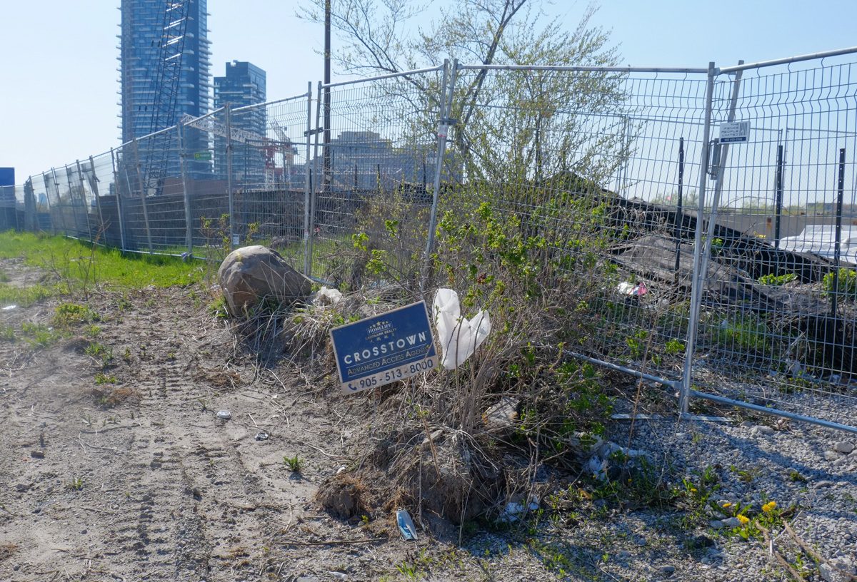
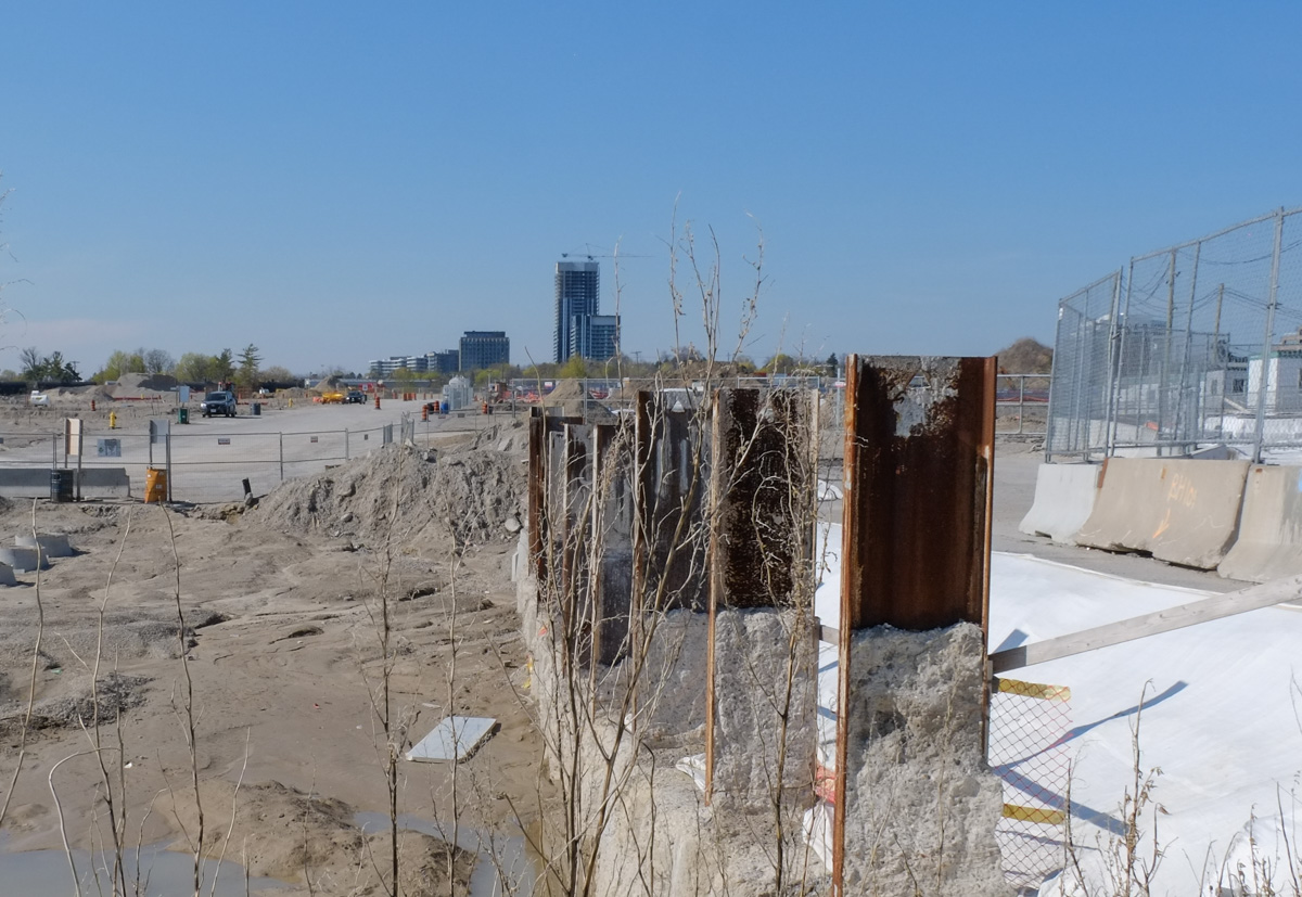
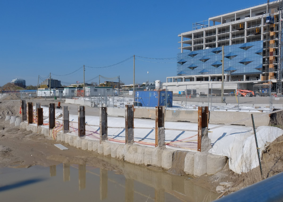
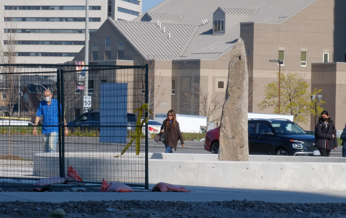
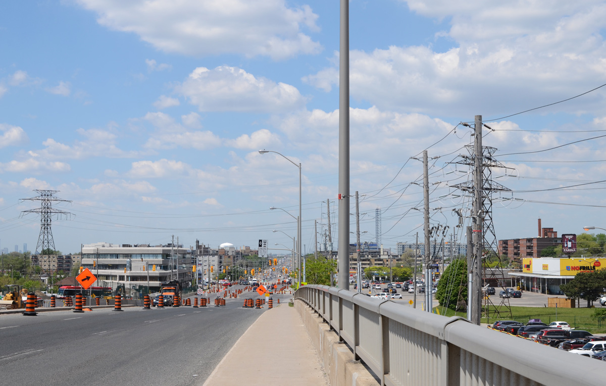
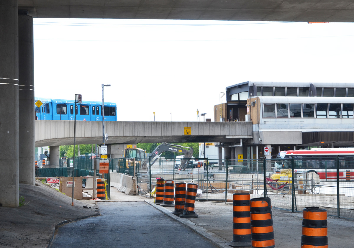
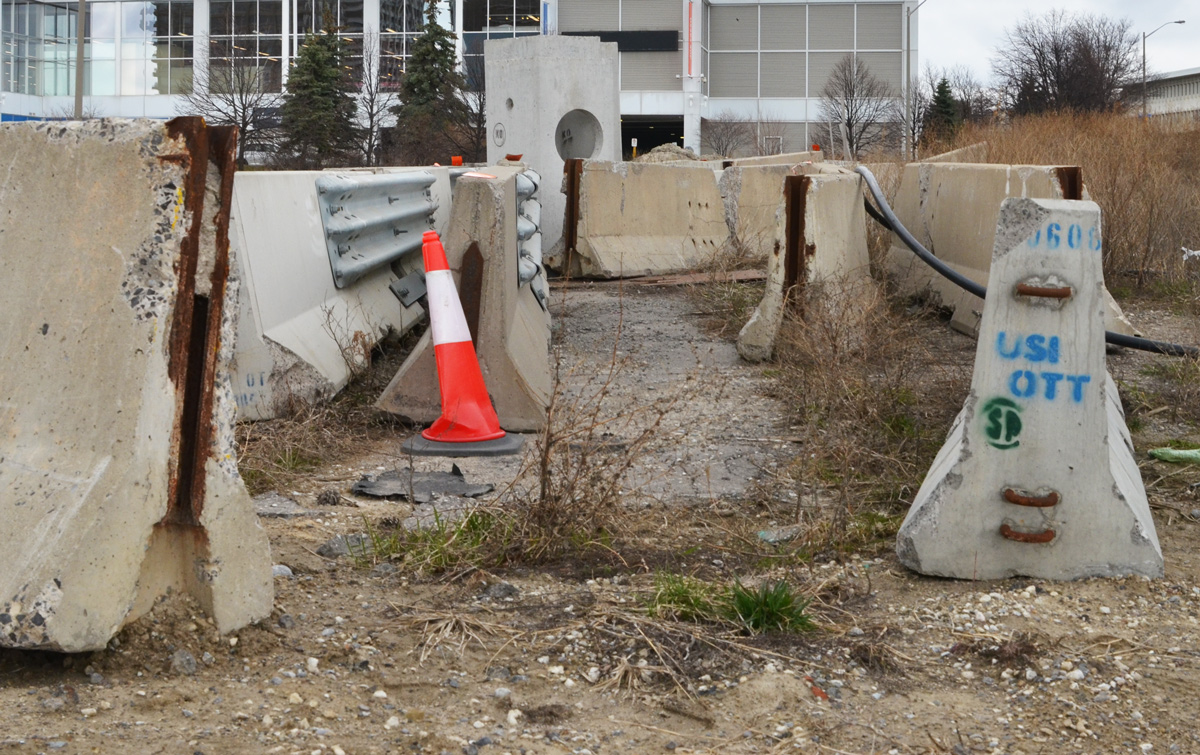
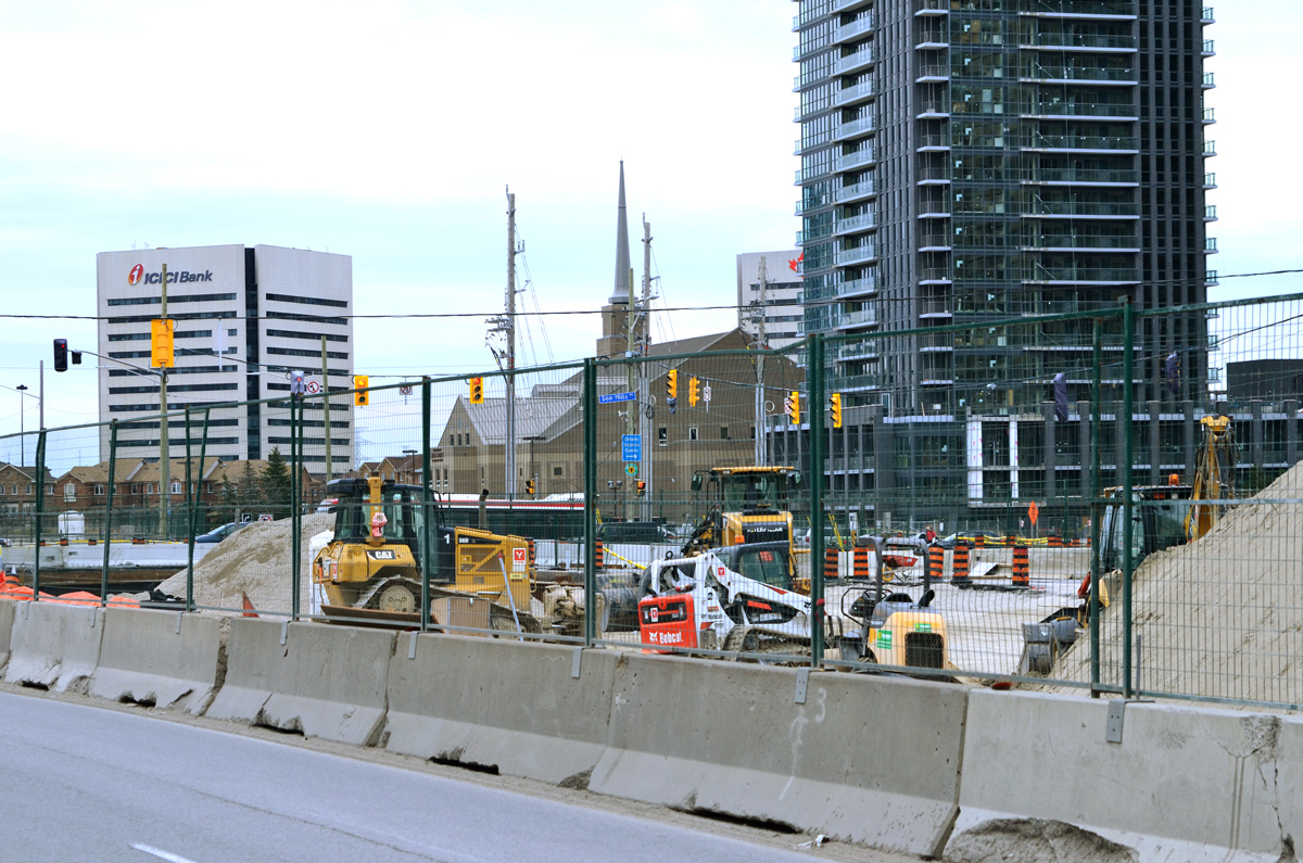
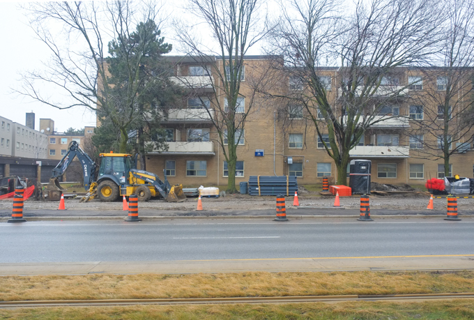
Construction along Eglinton East continues as Metrolinx builds the Scarborough Subway extension. This section of subway is an extension of the Bloor-Danforth line and will run from Kennedy station, east along Eglinton past Brimley before turning north. It ends at Sheppard and McCowan. Back in 2023 I visited that intersection and I posted some photos – Intersections – McCowan and Sheppard
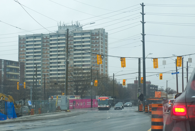
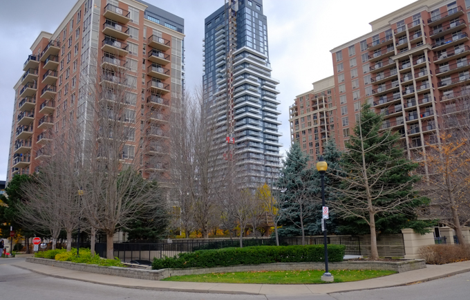
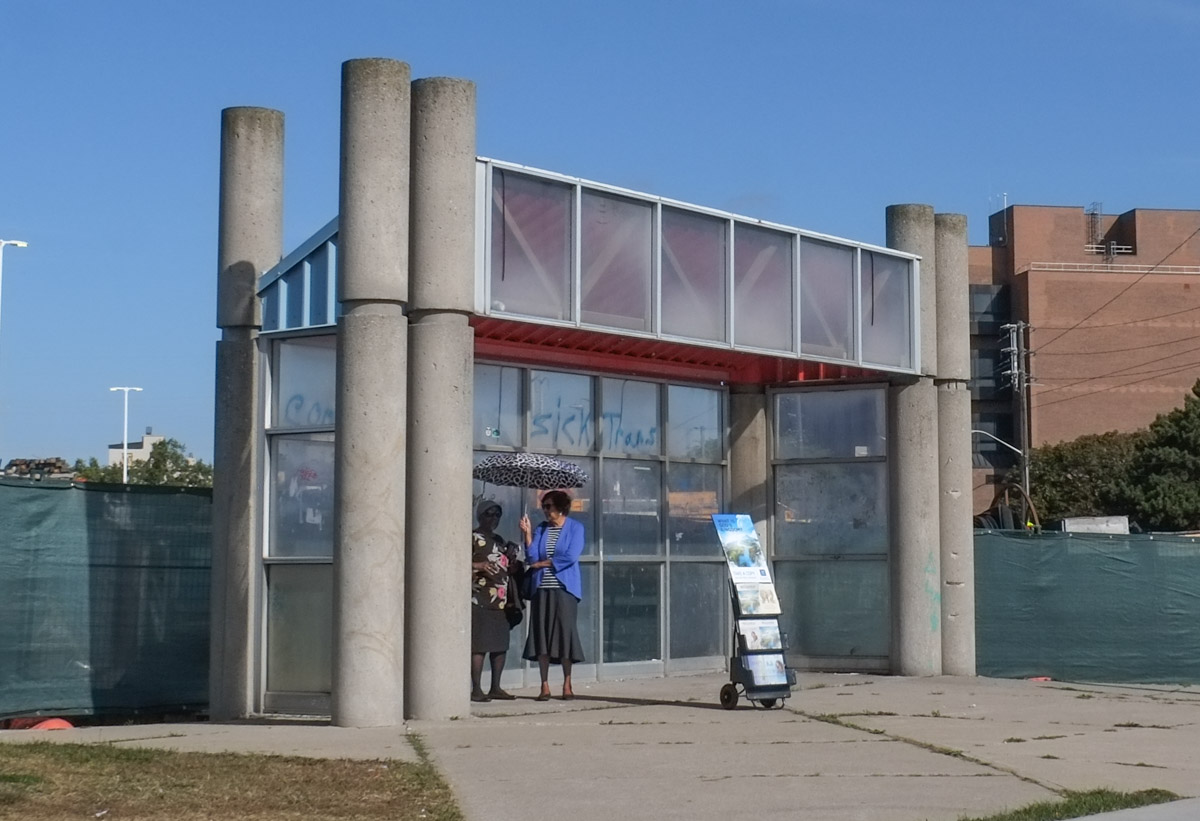
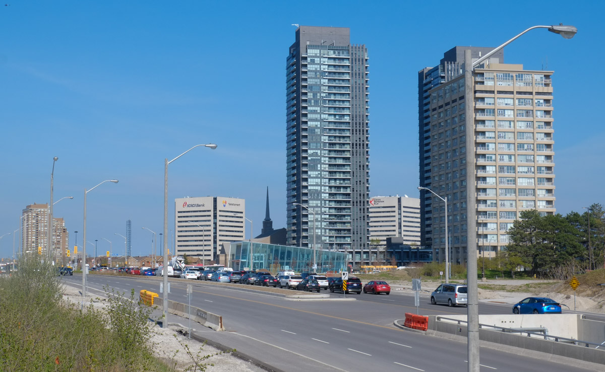
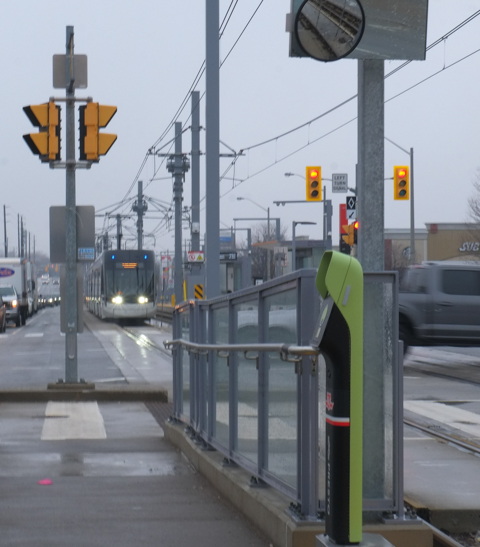
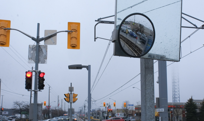
below: Eglinton at Midland, looking northeast (on a rainy day).