…. or thereabouts.
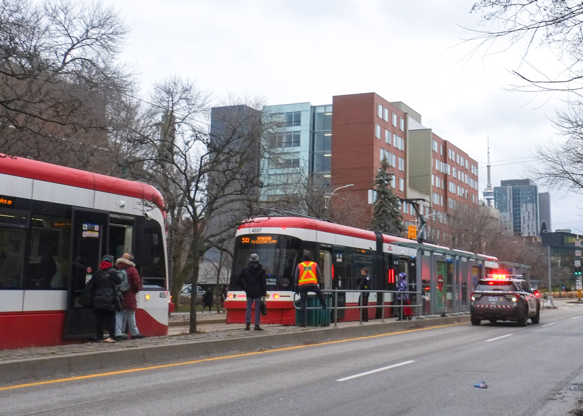
It started with a stop that was earlier than planned. I was on my way to meet a friend in Kensington but that morning my walk started closer to Harbord because the 510 car wasn’t going anywhere. An incident on a streetcar involving the police means the whole route gets backed up.
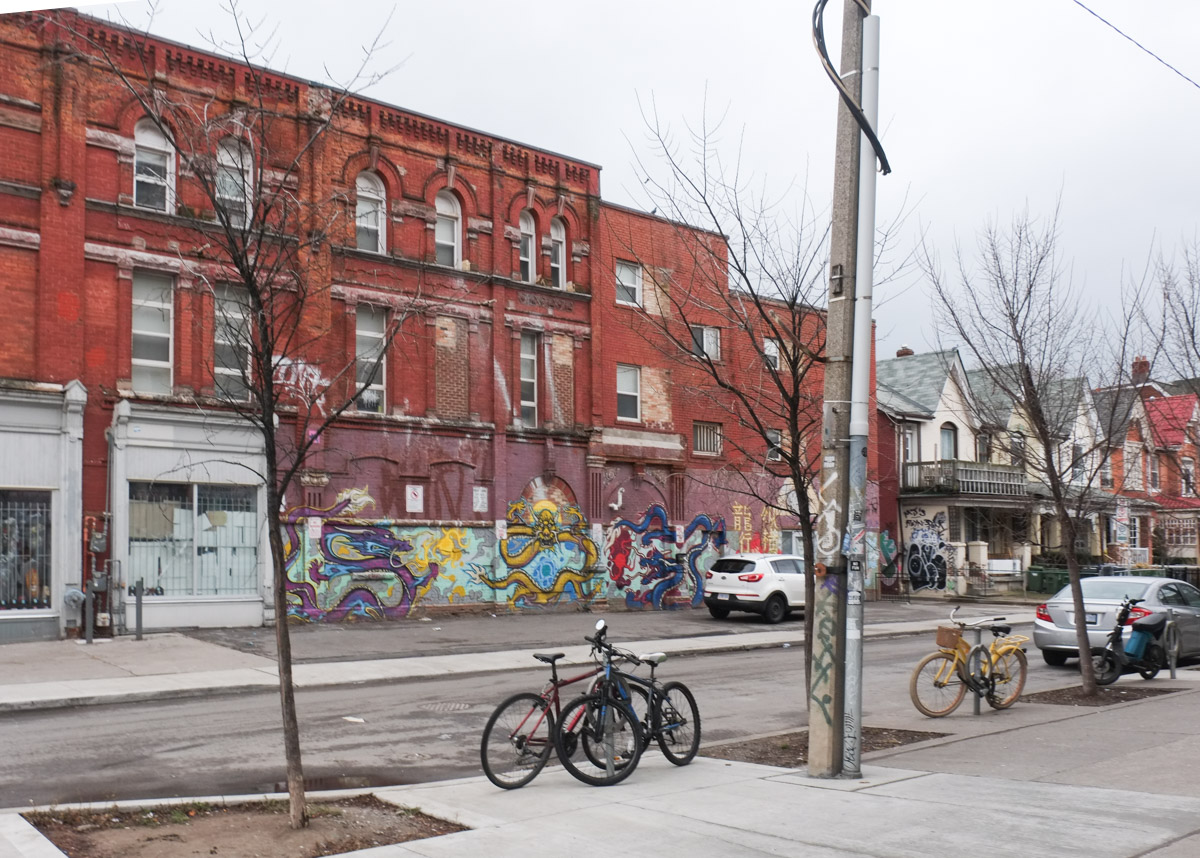
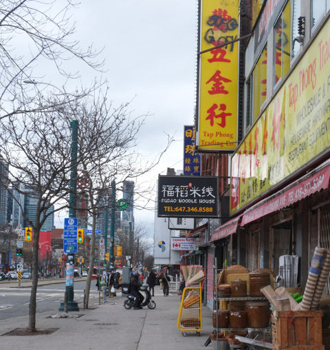
below: This building on the west side of Spadina (372/374 Spadina) has languished for a few years. It falls within the Harbord Village HCD (Historic Community District) and there may have been a change of ownership.
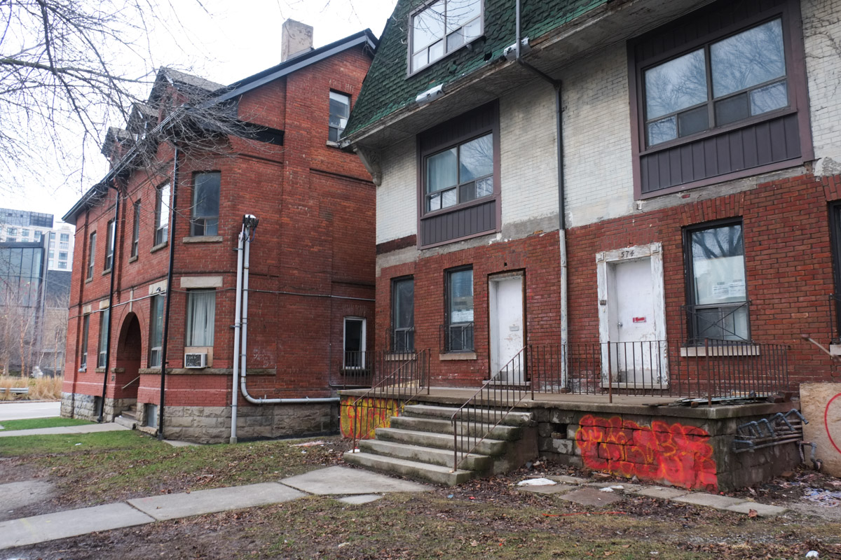
below: I tried researching the present status of the property but I came up empty. There is a building permit in the window but there are no signs of work being done.

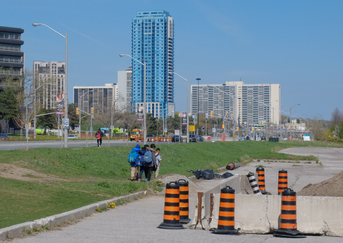
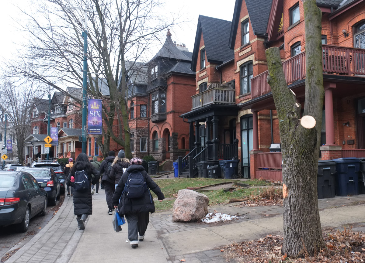
below: My fellow TTC travellers and I walked the curve in Spadina.
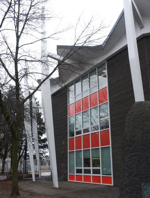
below: At the south end of the curve is Lord Lansdowne School which was built in 1960/1961 to replace an older school nearby and to accommodate the post-war population growth in the city. The main part of the school is a nine-sided circular building with 18 tapered steel pylons radiating outward like flying buttresses. The roof consists of folded concrete plates,
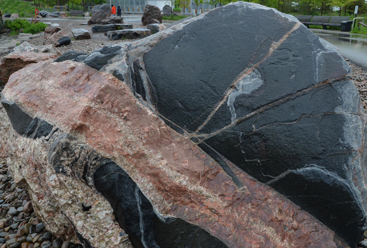
below: A big chunk of anorthosite sits in the schoolyard. Some of the rocks brought back from the moon are anorthosites. But this isn’t a moon rock! This type of rock isn’t found in many places in North America but there is some to the north of the city in the Canadian Shield region. It is composed predominantly of feldspar. It is an igneous rock which means that it was formed from the cooling and solidification of molten rock (such as lava).
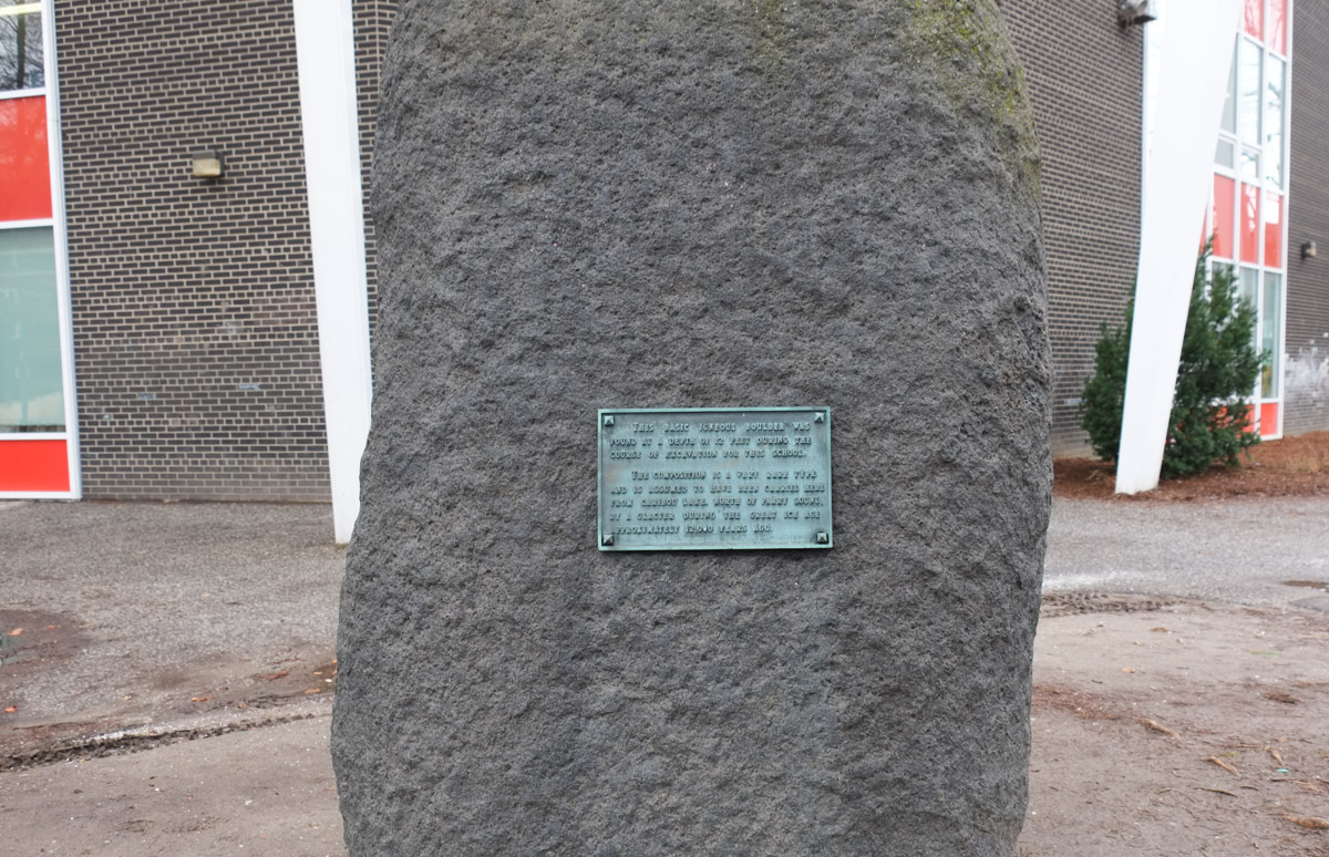
Plaque: “This basic igneous rock was found at a depth f 12 feet during the course of excavation for this school. The composition is a very rare type and is assumed to have been carried here from Caribou Lake north of Parry Sound by a glacier during the Great Ice Age approximately 12,000 years ago. “
below: Every Child Matters on the schoolyard fence
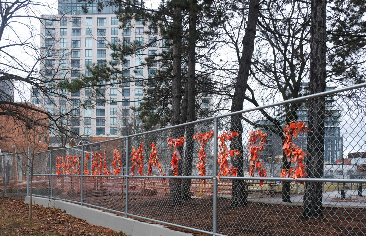
below: Also on the fence, parent and child walking hand in hand past the playground.

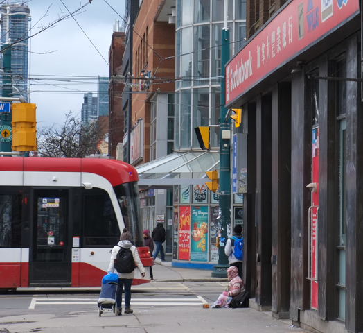
below: Intersection of Spadina and College, looking south.

below: A small disc mounted on a concrete pole – a tribute to Saul Gwartzman by Rocky Zenyck. Gwartzmans Art Supply store is still on Spadina Ave.
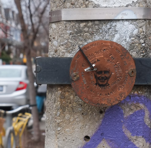
Engraved in around the face on the disc, “We remember. Saul Gwartzman. Born on Spadina Avenue above the store where he supported artists in Toronto for decades, 1936-2019”
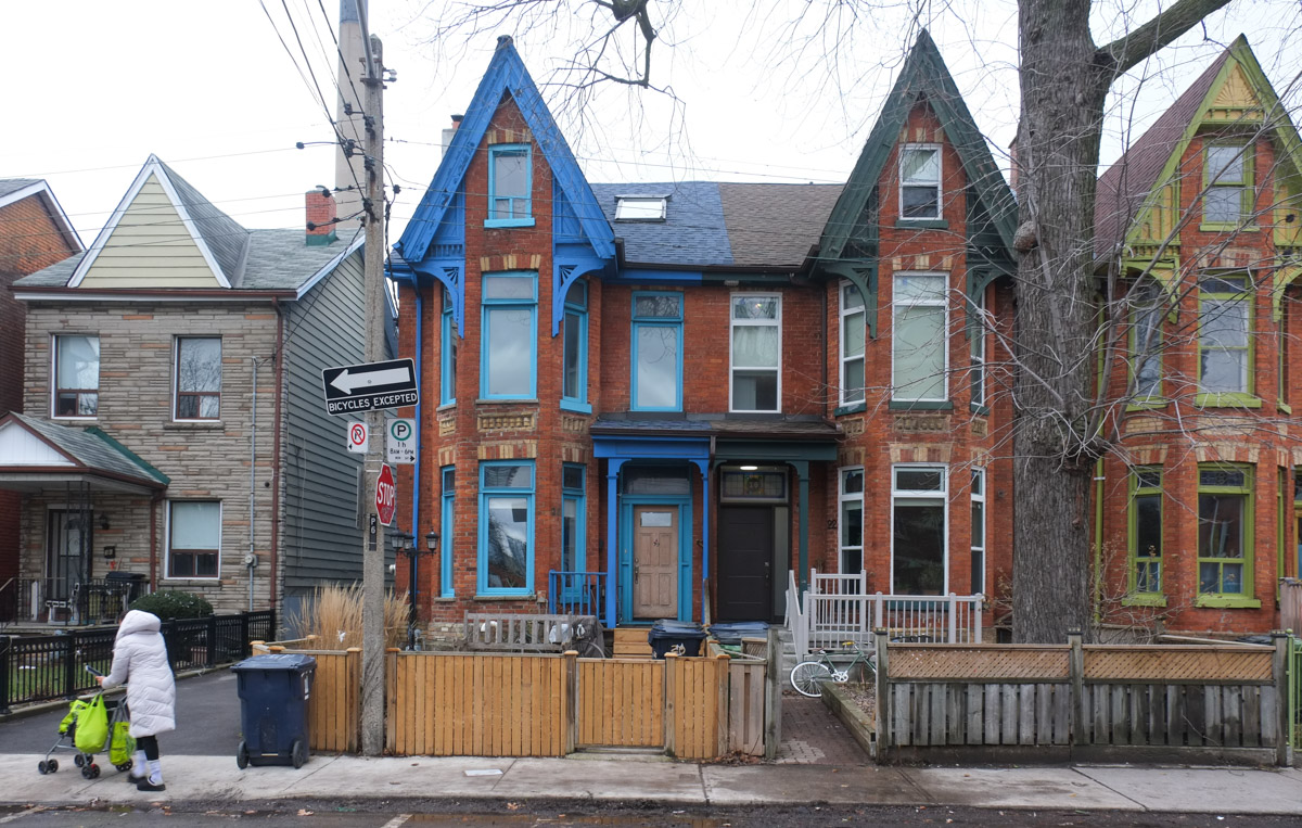
below: Walking on Spadina, south of College.

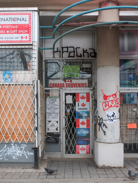
below: Canadian souvenirs are unavailable at the moment!
below: Dragons on the wall, Oxford Street.
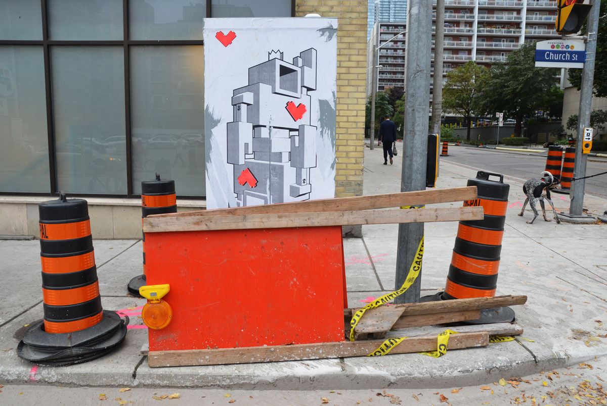
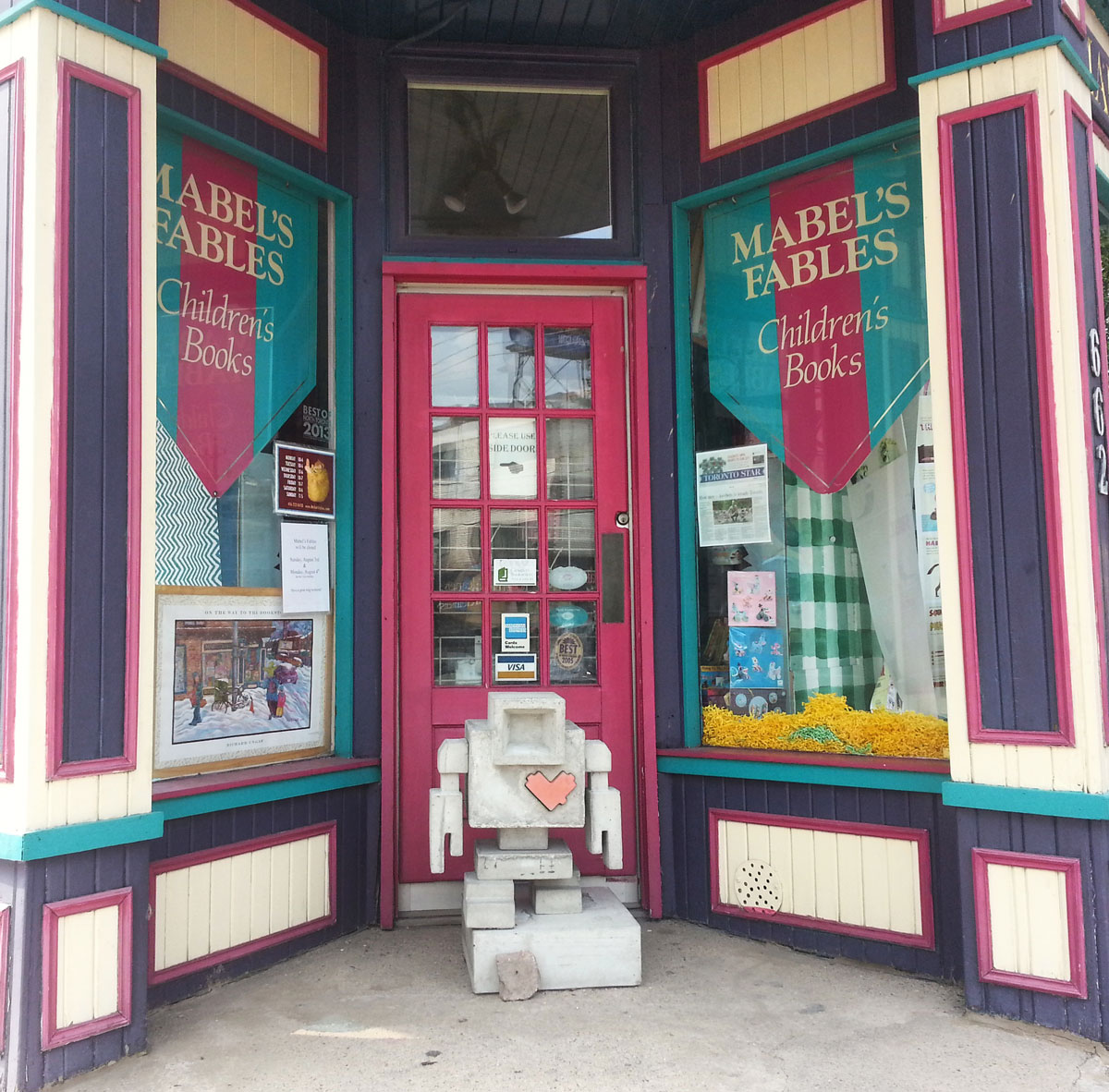
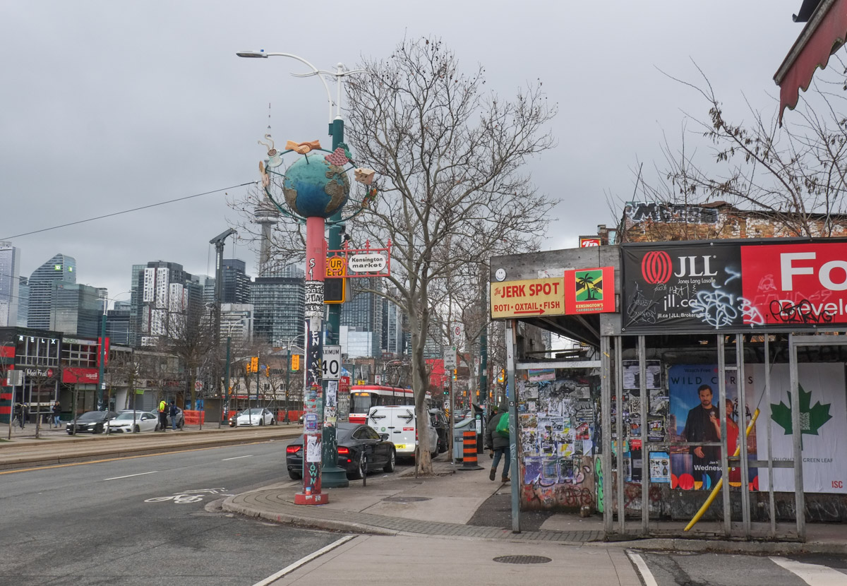
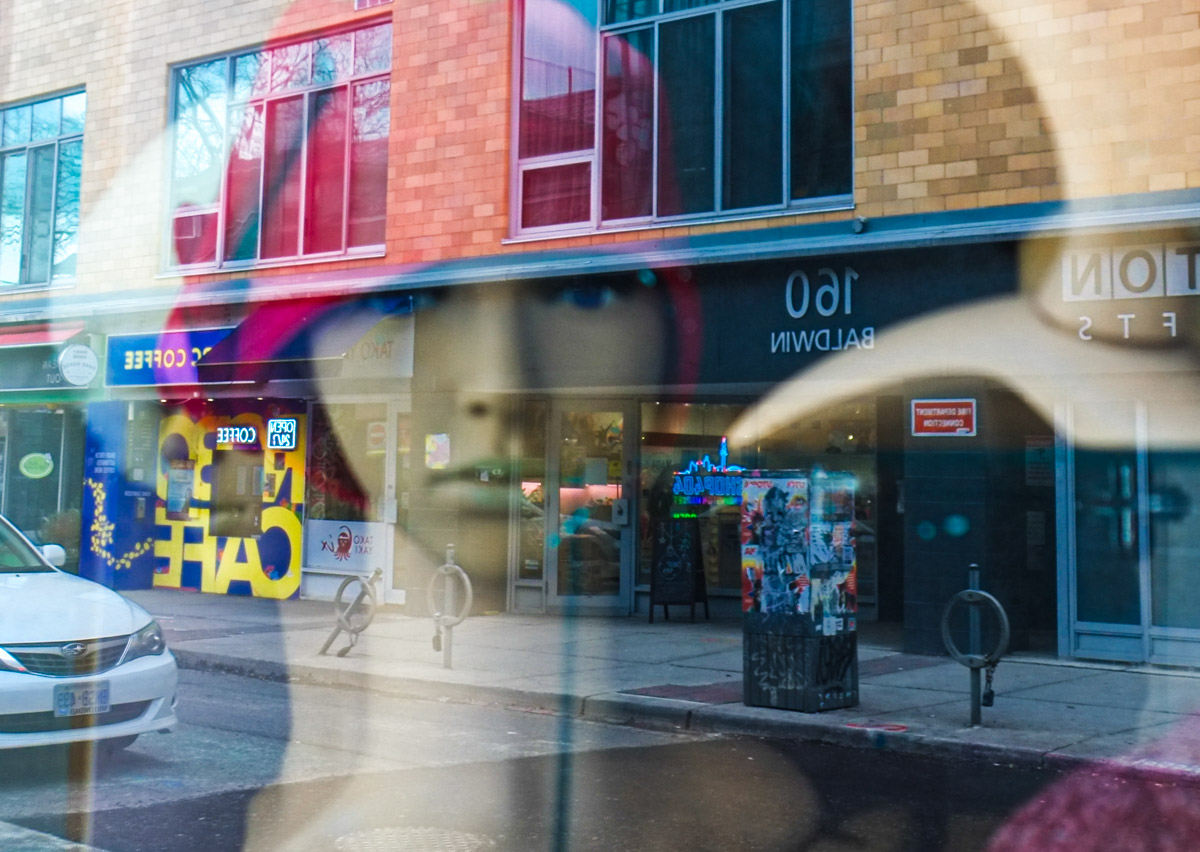
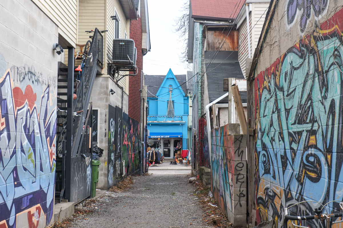
below: One of the Kensington poles with a globe at the top. Another site in limbo – the hoardings are still around the lot on the southwest corner of Baldwin and Spadina. I wrote about them in Dec 2020 (post: a long time lingering) and they were old then.
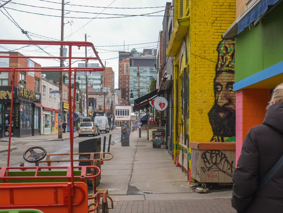
There were not many other people walking around Kensington that morning, we were a bit early for that. Even without people, it is a neighbourhood that is full of colours and full of life. Parts of it are run down and grubby but that rarely stops a photographer! The next photos are a random sample of what we saw that day.
below: Looking west on Baldwin. The king is on the wall.
below: Kids for sale!
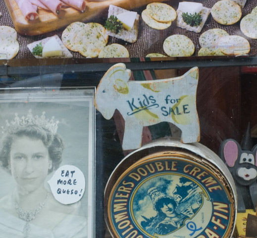
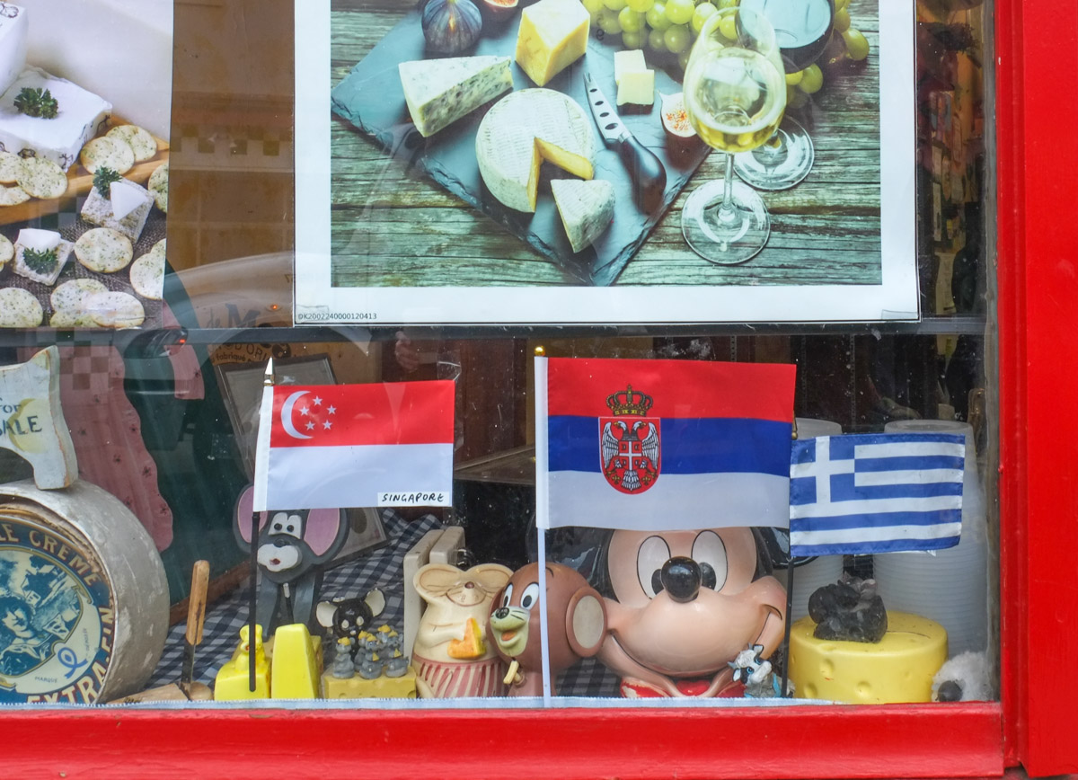
below: Mice in the cheese store window. There’s Mickey Mouse and the little brown mouse, Jerry, from another cartoon series as well as some not so famous rodents.
below: Uncle Vintage at the other end. The mural on the right is “When Math Meets Art”

below: From a different angle. It was painted by Sasha Q (aka Oleksandra Stepanenko)

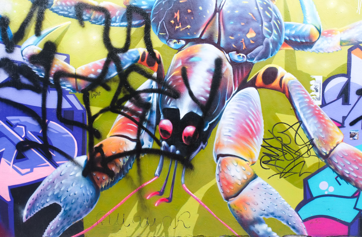
below: Mural of a blue crab by Nick Sweetman,
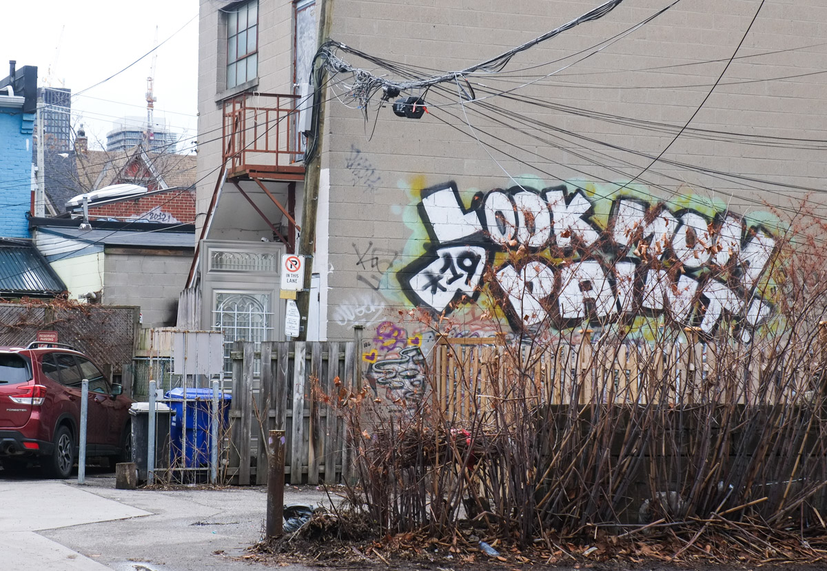
below: Look Mom Paint!
below: Three old black and white photos of Kensington scenes in the window of the Peruvian food store,

below: A bright and cheerful red daisy keeping an eye on things.

below: “And then the streets became my notepad – GOD”

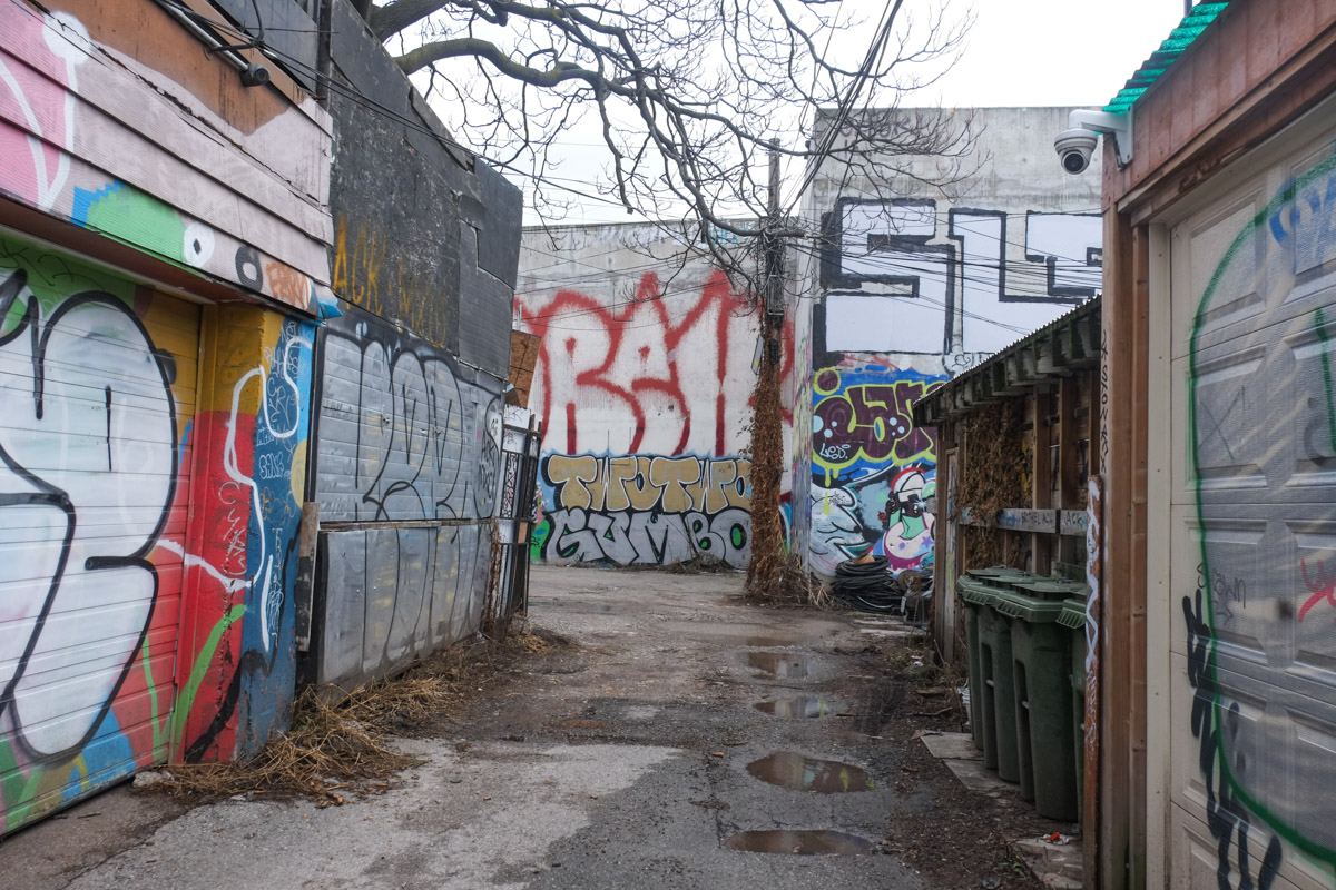
below: More hoardings and the consequent graffiti covering them.

below: It’s difficult to see, but some of the words written on the hoardings are “It’s hard but ur strong”.

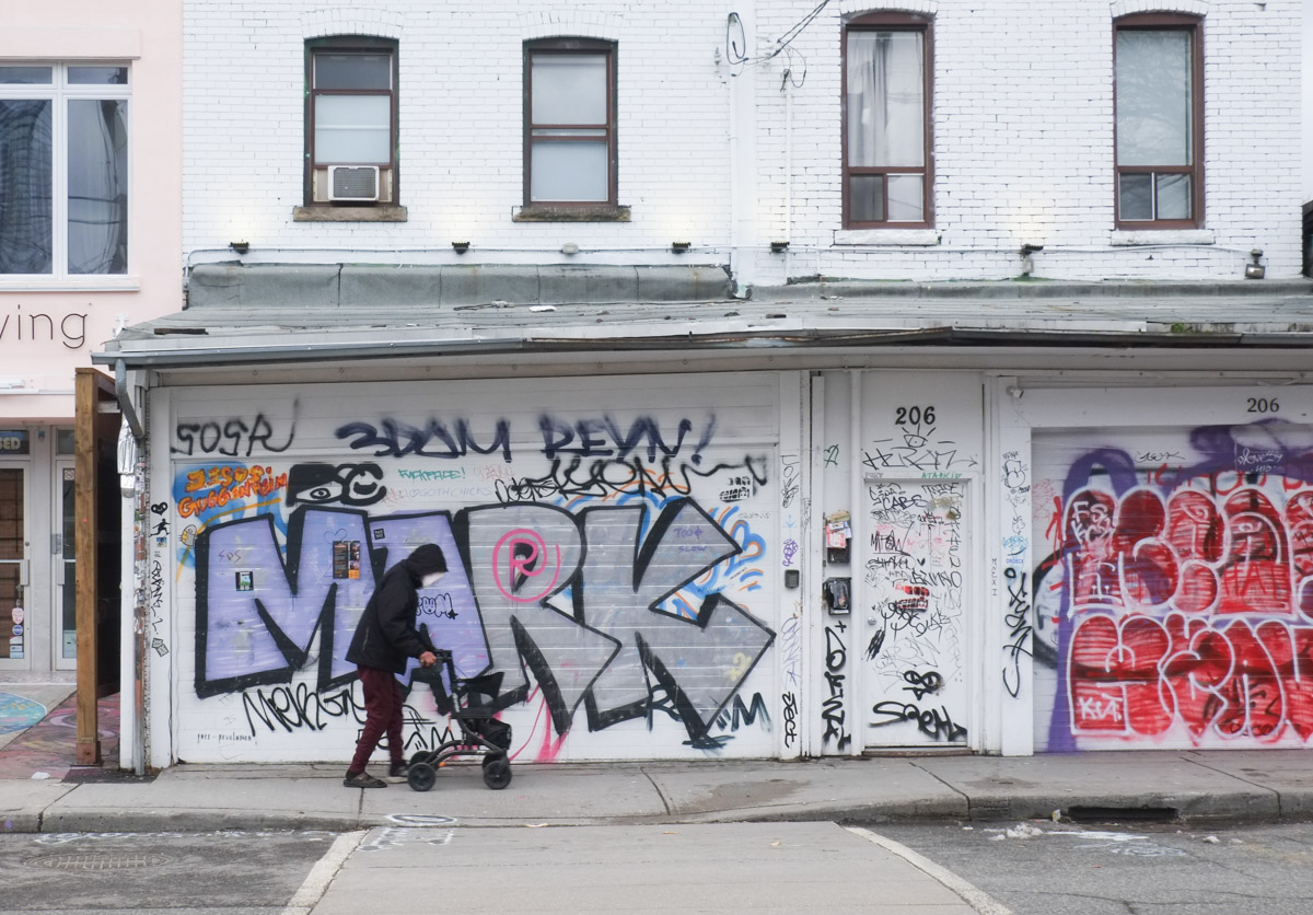
below: Mark has left his mark.
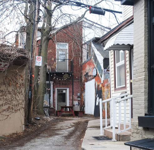
below: The backside of Moonbean Coffee as seen from the alley behind. Little faces in Paradise.

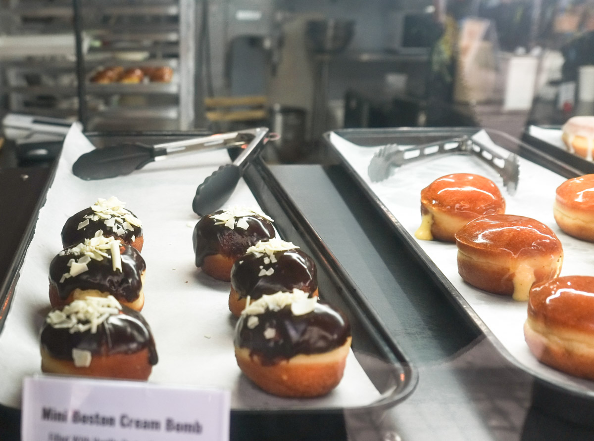
below: Yummy! Mini Boston Cream Bombs on display in the window.
below: Not so yummy?!
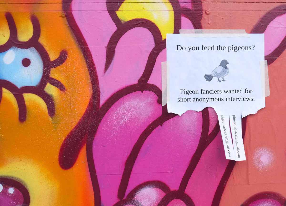
below: Pigeon fanciers, this one’s for you. It seems there were some takers. Sorry, but I didn’t follow up with the research on this one so I am not sure what happens if you call!
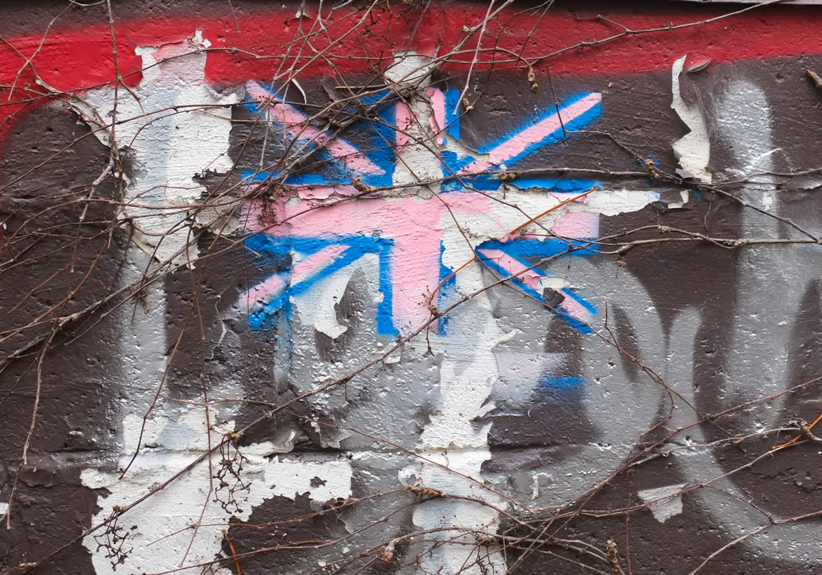
below: Union Jack either faded to pink, or in trans colours?
below: Super Serve on Dundas, across the street from People Hair Salon.

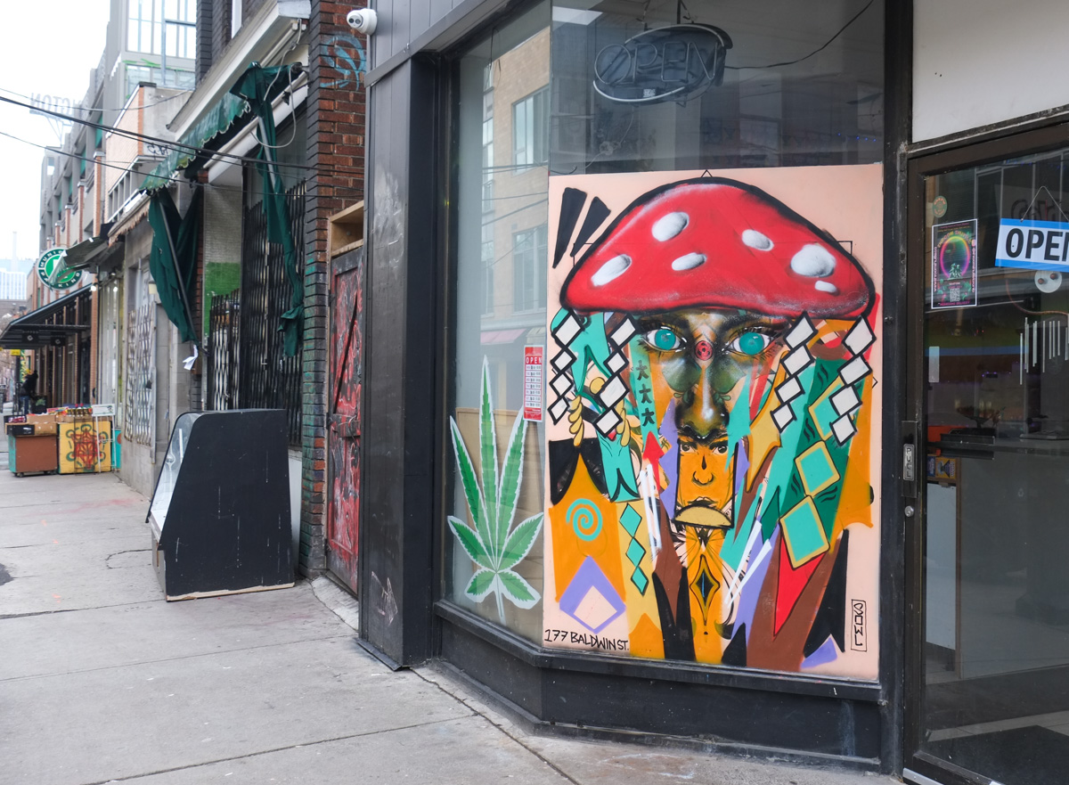
below: It looks like Rowell Soder mural although he rarely paints the eyes – the mushroom top should give you a hint as to what this store sells.
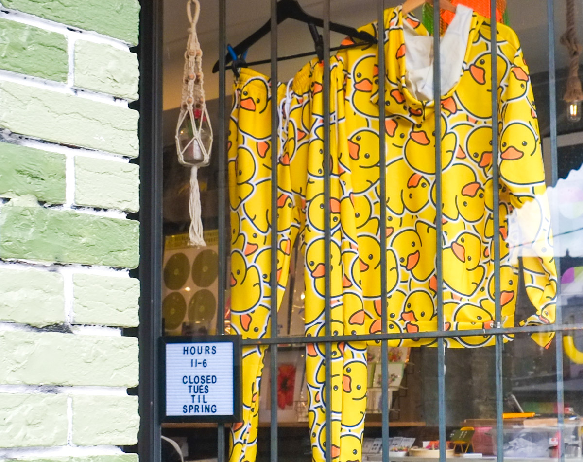
below: I like yellow rubber duckies but I doubt that I would wear this many at once!
below: You grow girl!

below: She leans left.
below: Little yellow bald guys as well as some words written on a wall; they are Leonard Cohen lyrics.

“From Leonard Cohen Book of Mercy, …I heard my soul singing behind a leaf, plucked the leaf, but then I heard it singing behind a veil. I tore the veil, but then I heard it singing behind a wall. I broke the wall, and I heard my soul singing against me. I built up the wall, mended the curtain, but I could not put back the leaf. I held it in my hand and I heard my soul singing mightily against me. This is what it’s like to study without a friend.”
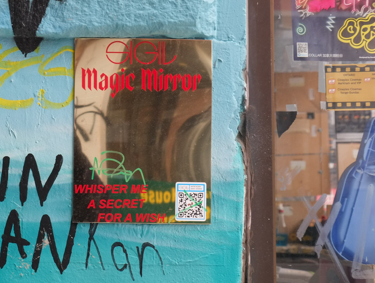
below: Mirror, mirror, on the wall.. A Sigil is a sign in magic or witchcraft or similar.
below: Mannequins in feathers….

below: … and mannequins in hats

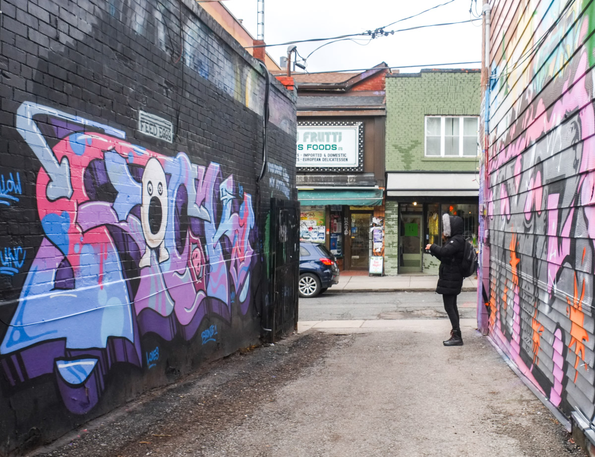
below: The mural on the left features a white egg with a large open mouth. The text above it says, “Feed Eggs”. Any ideas?
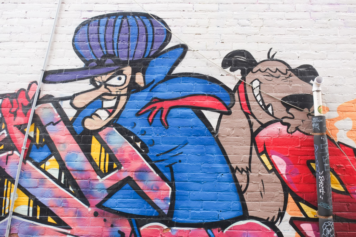
below: It’s Dick Dastardly and his dog Muttley
below: A mandolin player by SashaQ and a Phillip Saunders portrait in blue.

below: Leftovers from both Halloween and Christmas

below: An eclectic collection of posters and notices cover a restaurant window… pictures of food as well as posters for young Asian musicians.

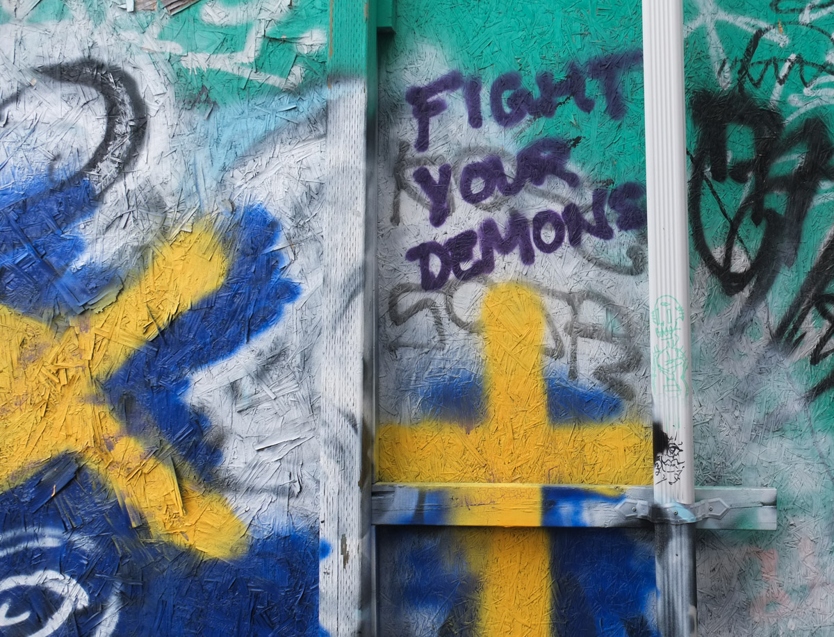
below: Fight Your Demons
below: South on Spadina
below: Spadina and Dundas
With many thanks to Merle for walking with me on that grey day! We enjoyed wandering around the street and alleys and discovering what Kensington has to offer. It was fun to have someone helping to find all the little bits and pieces that often get overlooked. Here we found a party, or at least the remains of one. All those little coloured blobs are actually shiny words that say “party”. I hope that it was a good party!

Merle has a blog too where she meets and interviews interesting seniors (or seniors who are doing interesting things), Super Bubbies! I forgot to ask her how old one needs to be a Bubbie and am I old enough?!!! If you are interested in the photos that she took on this walk or you’re curious as to what makes aa Super Bubbie, check out Super Bubbies! I find it fascinating how different people can walk the same route and come away with quite a different recollection of the walk.
Keep exploring! Keep being super!