A story in three parts
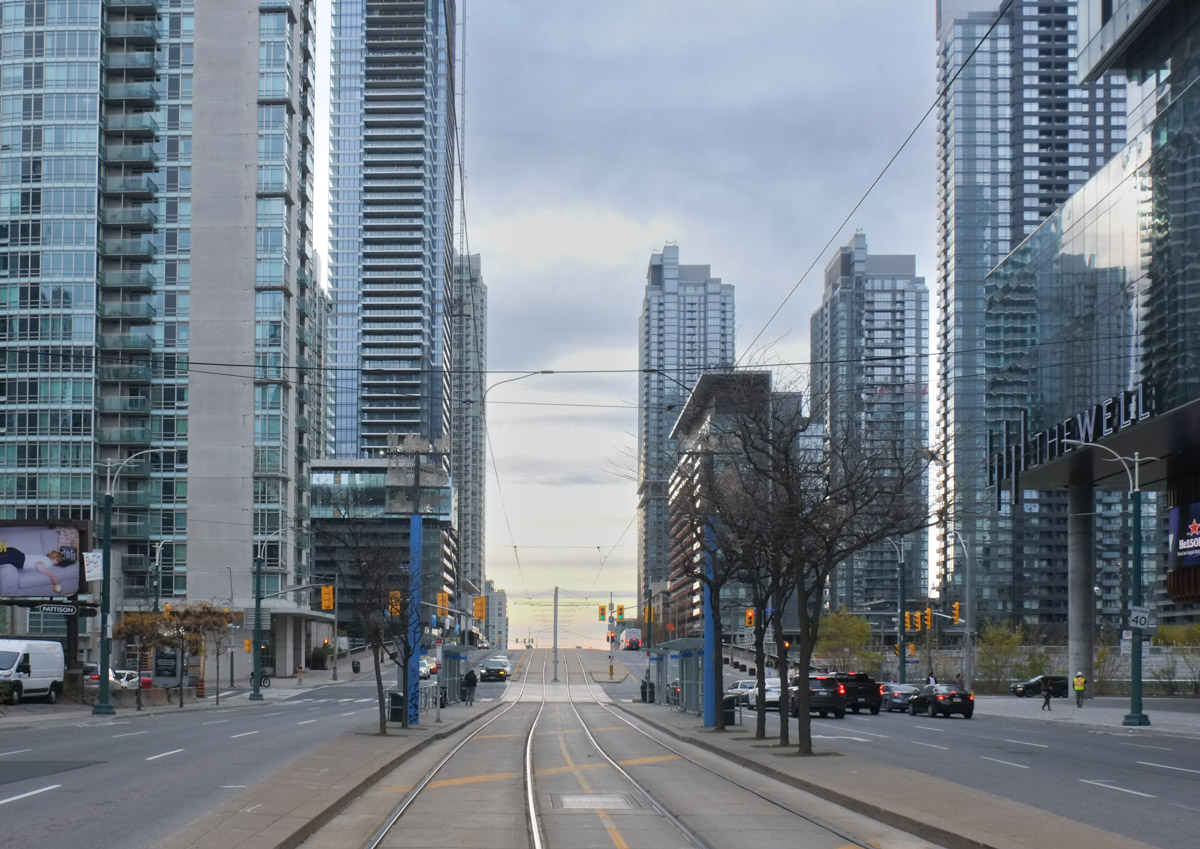
There has been a lot of talk about Ontario Place in the news lately so I thought that I would take some time to explore that part of the city.
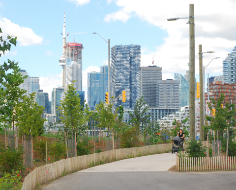
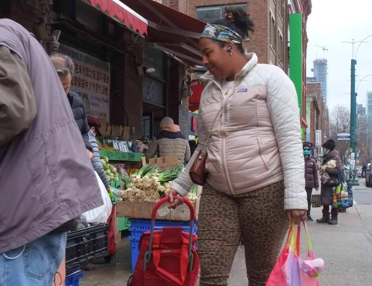
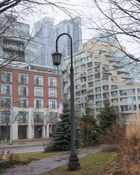
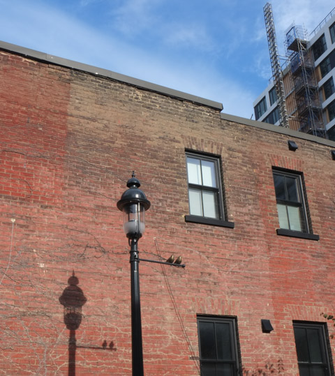
below: My walk started in Liberty Village where I discovered that others are trying to promote walking around and exploring here. If you are interested, Walk Liberty is online. It is a fairly comprehensive guide to the history of the area.

below: Cut into the back of this bench are the words “Is it not the reason we are here”. This bench was designed by Jose Andres Mora was part of the Liberty Village BIA Artist Bench series from 2019. My reason? … Well, I was only passing by because it was a convenient place to have a cup of coffee before walking towards Ontario Place.

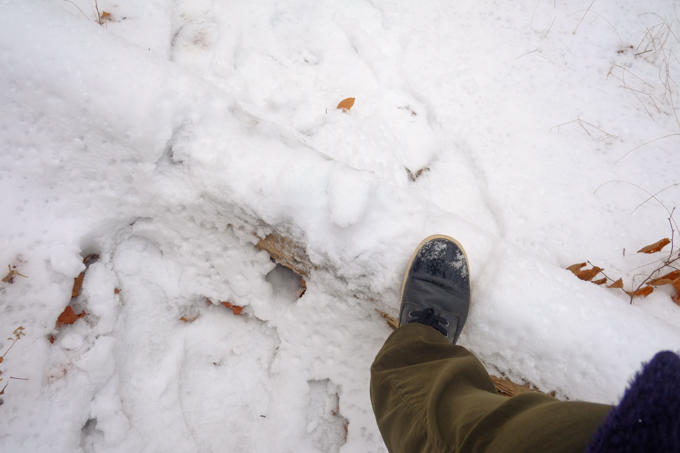
below: Comfortable shoes as we keep on walking

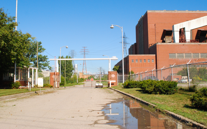
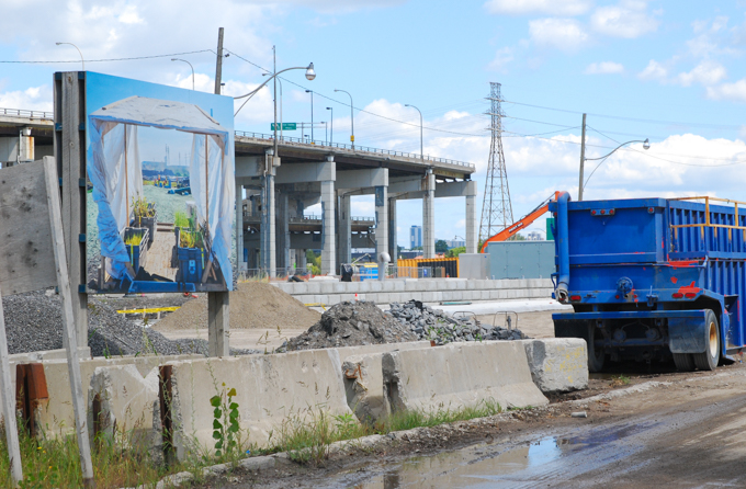
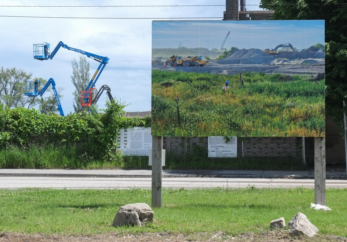
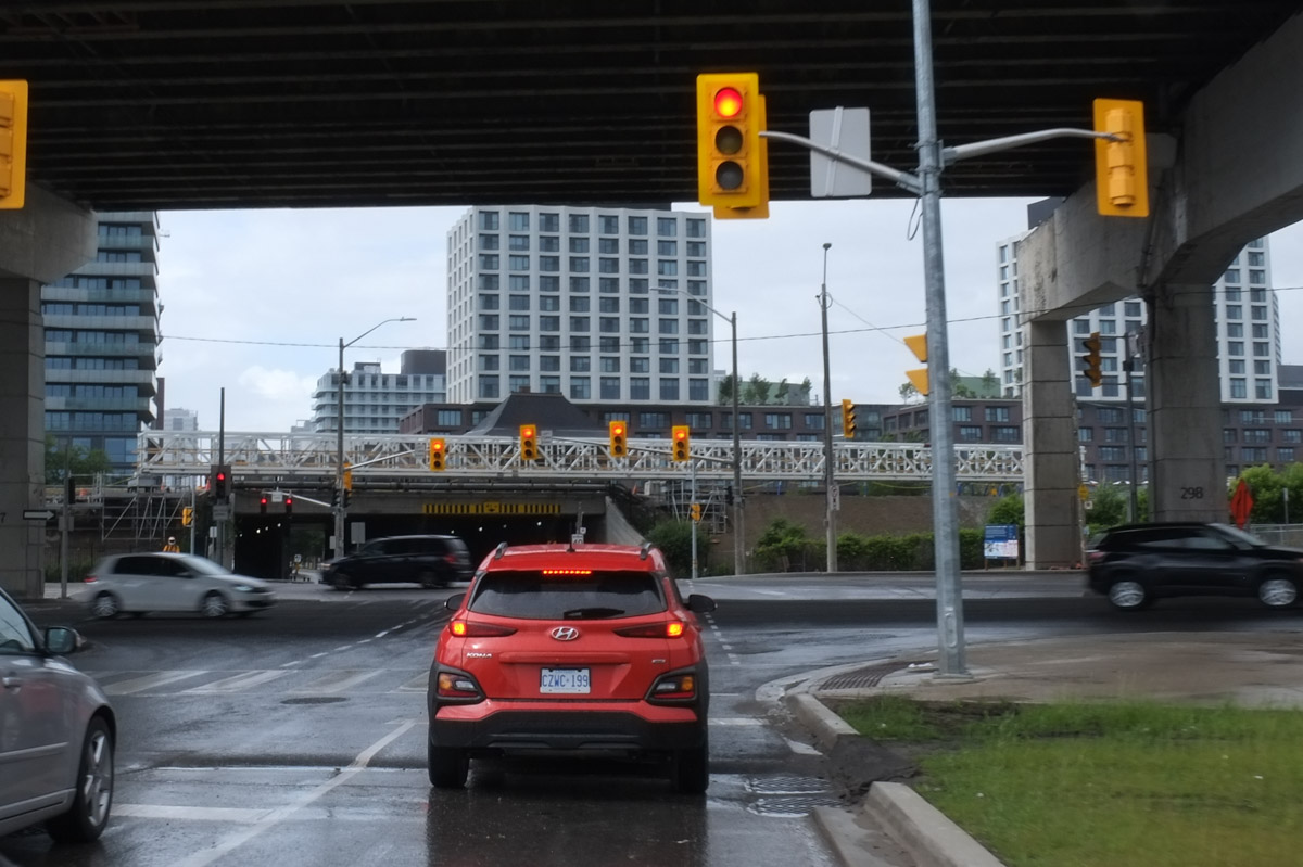
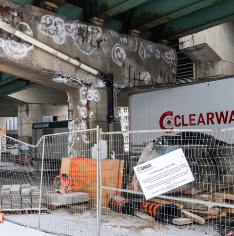
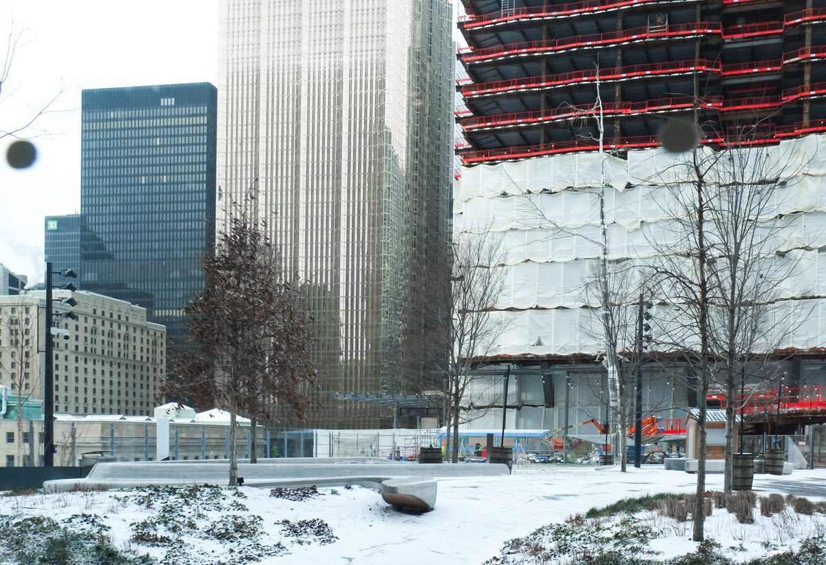
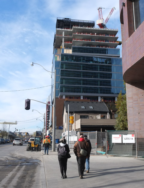
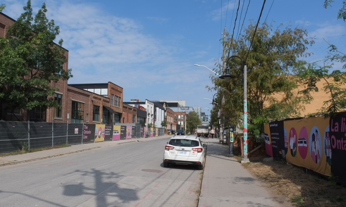
When I reached Atlantic Avenue I discovered that most of the south end of the street was now part of a construction site – both sides of the street have Metrolinx Ontario Line hoardings.

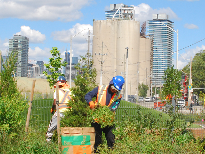
below: The Liberty Trail is closed. This sign was posted by Ontario Transit Group. They are the group who are building some of the infrastructure for the Ontario Line. There are a number of companies included in this group with the two leads being Ferrovial Construction Canada Inc., and VINCI Construction Grands Projects. They were awarded the six billion dollar contract in Nov 2022 and if you want to see a list of what that money should buy us, the information is on an Infrastructure Ontario website (while you’re there, spot the typo!).


below: Looking north on Atlantic Avenue

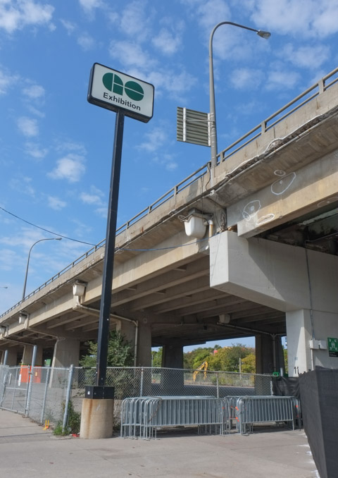
below: The Exhibition GO station is at the south end of Atlantic Ave. The new Ontario line will also have a station here. The ability to transfer between GO and TTC services here will impact a lot of people who commute from the western side of the GTA as they may be able to bypass Union Station.


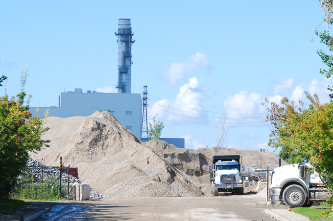
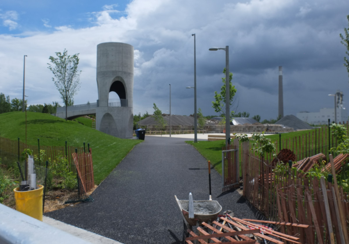
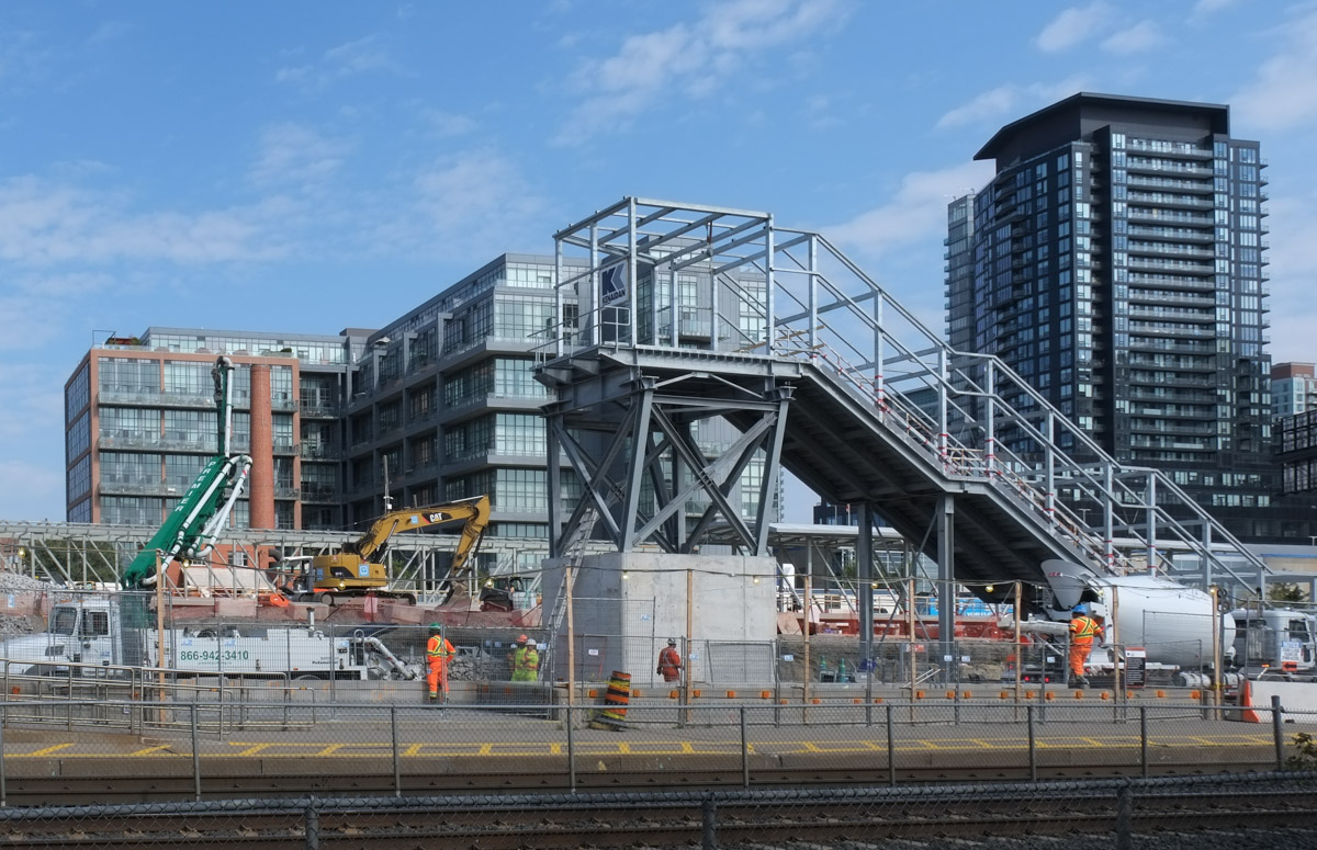
below: From Exhibition station east towards the city centre, north side. A new street that parallels the railway tracks is being built here. If the plans are correct, the new street will connect Strachan Ave in the east with Dufferin St in the west.

below: Construction on the north side of the tracks at Exhibition station where a new concourse area is being built above the tracks

below: Looking eastward from the south side

After walking through the tunnel under the tracks at Exhibition GO station, you emerge under the Gardiner Expressway, right beside the Exhibition grounds. …. And so begins Part 2. A quick note – when Metrolinx describes Exhibition station on the Ontario Line, they usually add “Ontario Place” to it, i.e. it’s Exhibition/Ontario Place station.

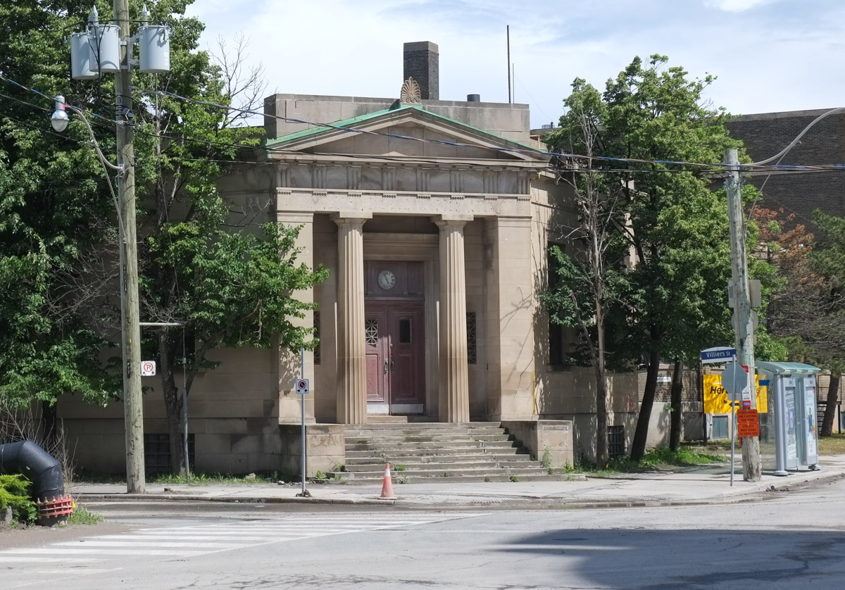
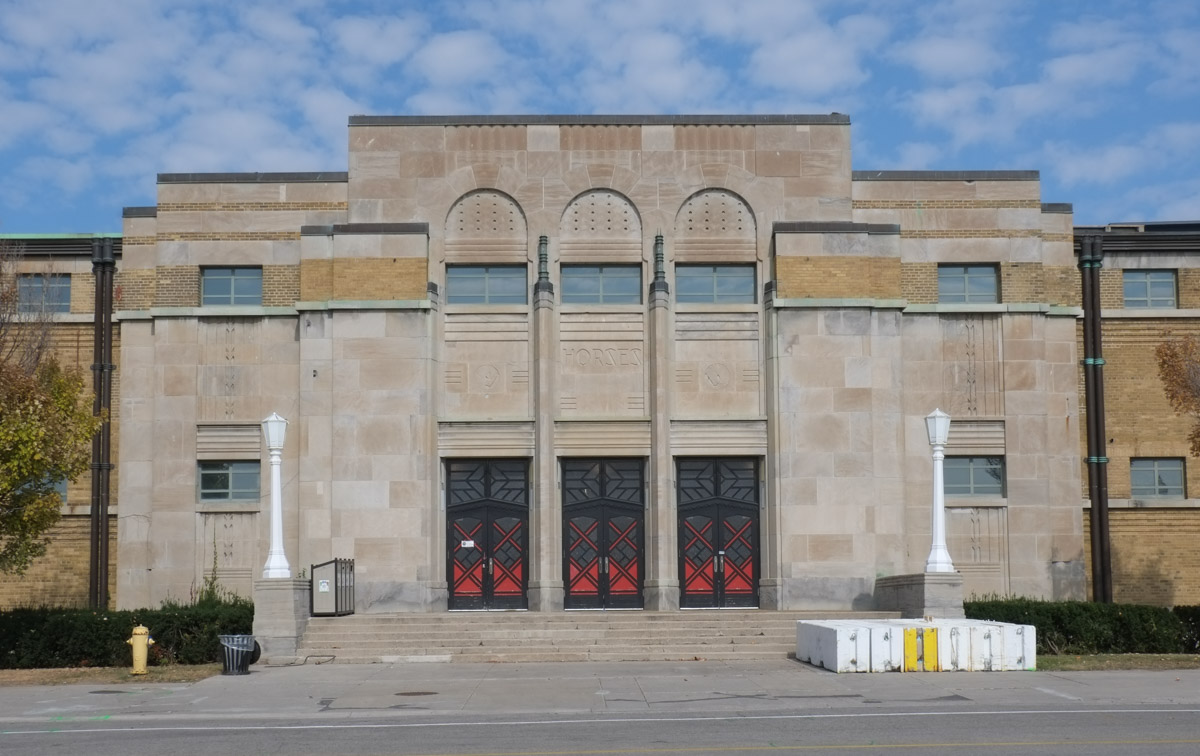
The first building that you encounter on the south side is the Horse Palace
below: South entrance of the Horse Palace. Three levels of government contributed to the construction of this building which opened in 1931. It is two storeys high and covers 4 acres. Originally it accommodated 1200 horses. Today it is home to Toronto’s mounted police unit.

below: Horse in the art deco style, carved in the limestone facade of the Horse Palace.

In August it is busy here as it is the home of the Canadian National Exhibition (CNE) but September is another story! I didn’t see many people as I wandered around. The buildings are locked up tight.

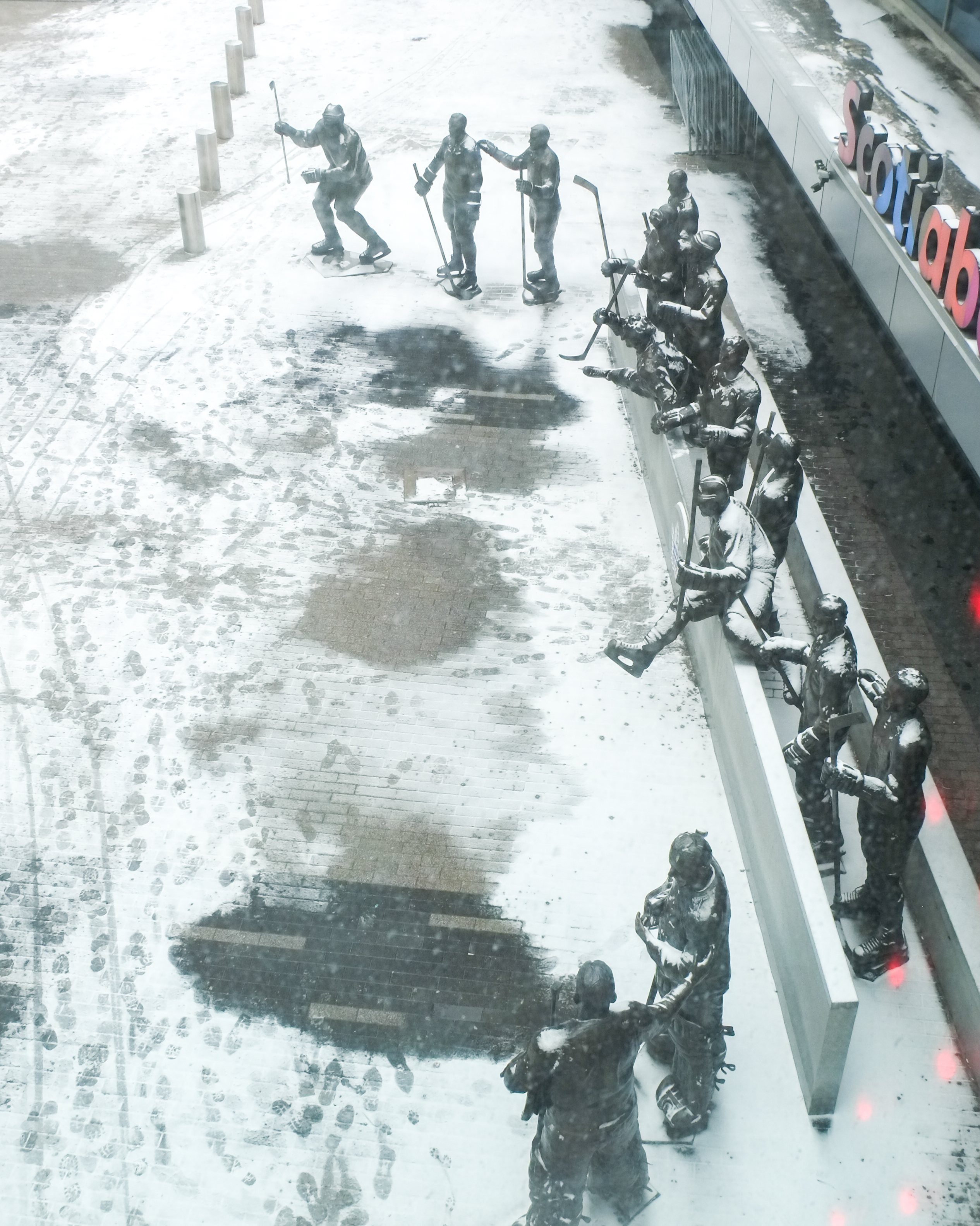
One of the dominant features of the area is BMO field which was built as a large soccer stadium. In 2016 it also became the home of the Toronto Argonauts, the other Toronto football team.

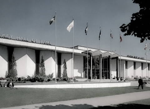
below: Mural above the entrance, gate 6 BMO Field. This mural can be difficult to see from outside because it is behind a window. It confused me at first because why is there a hockey themed picture at BMO field? – they don’t play hockey here. As I was trying to get a closer look at it from outside, a group of men walked past and one of them asked me if I needed help…. here’s the story: Once upon a time the Hockey Hall of Fame was here. When the building was demolished in 2006 to make way for the soccer field, portions of it were retained including the entrance and this mural, “Face Off” by Ronald Satok.

below: The Hockey Hall of Fame building (1961-1993) at the Exhibition. The mural is behind the glass in the entrance way.

below: Also at BMO Field is a Wall of Honour commemorating iconic moments and MLS Honours (e.g. coach of the year, MVP players, etc). Red and white are the colours of Toronto FC (Football Club) whose home is here at BMO stadium. Note: (MLS = Maple Leaf Sports, owners of the Toronto FC )

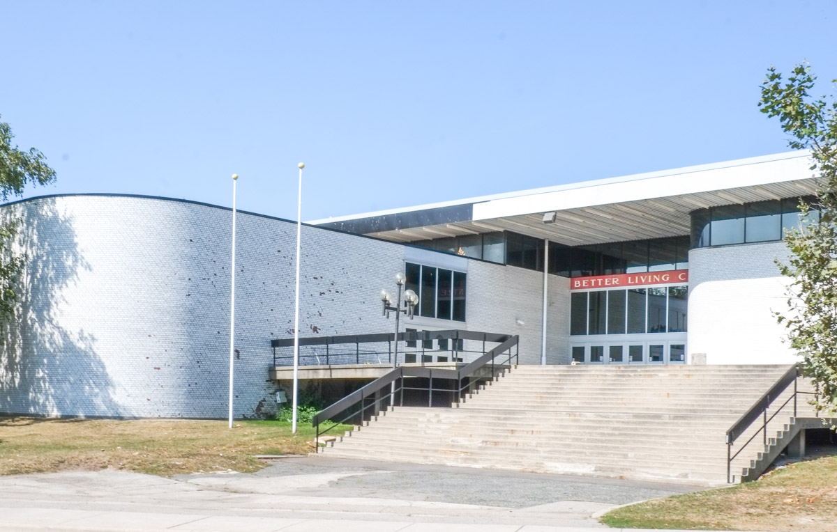
After WW2, the popularity of the CNE was booming and more modern spaces were needed. The Hockey Hall of Fame building was a great success so the Food Building (1954), followed by the Queen Elizabeth Building (1957), and the Better Living Centre (1962) resulted. These buildings still stand. All were very modern buildings for their time.
below: Food Building

below: Queen Elizabeth Building

below: Better Living Centre, symmetry of the side entrances. In the 1960s this building housed exhibits during the CNE that featured different rooms decorated with the latest trends and gadgets… like colour TVs! and other consumer goods.

below: Front entrance with its wide stairs leading to the doors as well as one of its curved walls

below: Artwork on the roof of the Better Living Centre is a three dimensional grid of steel with different coloured plexiglass panels in some of the squares.


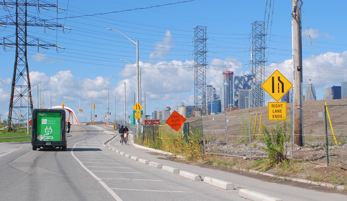
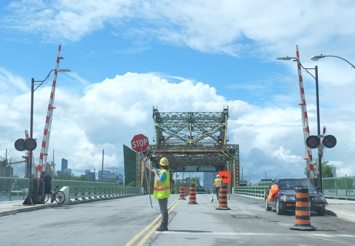
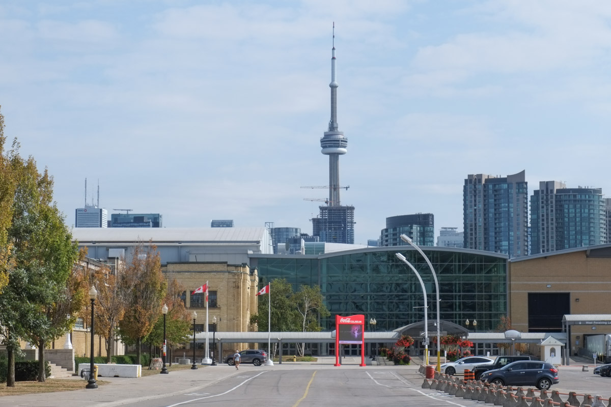
We entered the Exhibition grounds by tunnel and we will leave by bridge over Lakeshore Blvd…. so to Part 3, Ontario Place

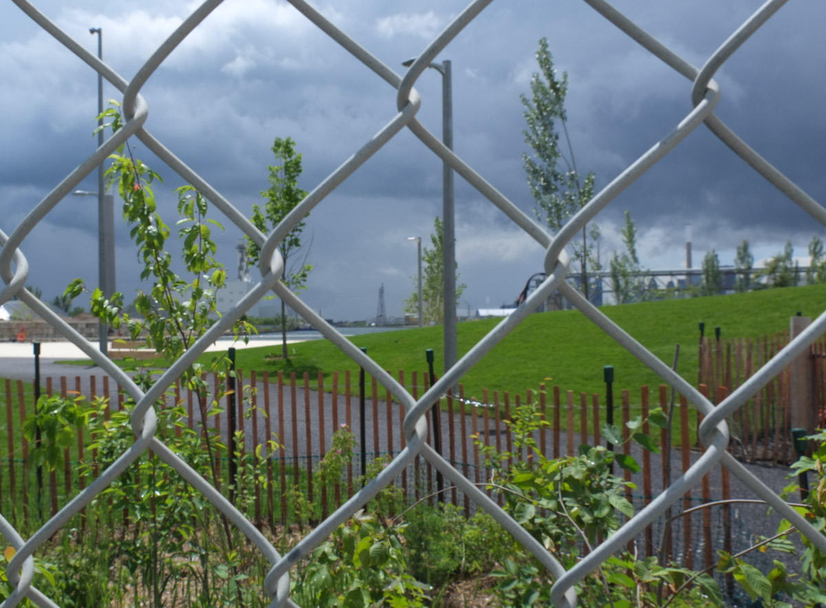
below: Looking west from the bridge over Lakeshore Blvd

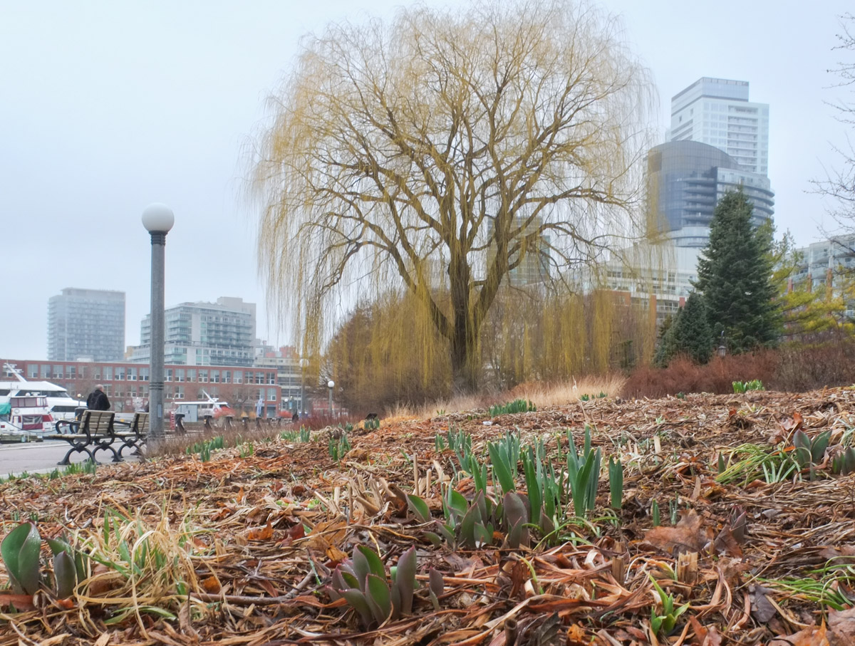
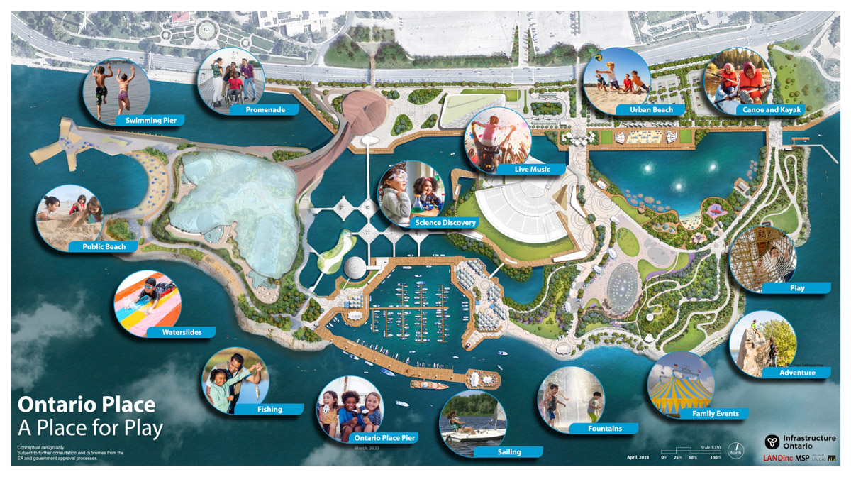
Ontario Place consists of three different areas, East Island, West Island, and the pods in the middle. When Ontario Place first opened in 1971, the eastern portion was a children’s adventure playground. Today it is Trillium Park. I didn’t go there last week, but if you are interested, I blogged about it on two previous visits (a rainy day from June 2019, and Ontario Place 2.0 from July 2017)
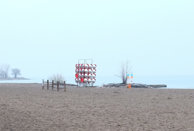
The middle section of the park is where you find the “pods”, the elevated structures with water below, and the marina.

The contentious part at the moment is West Island.
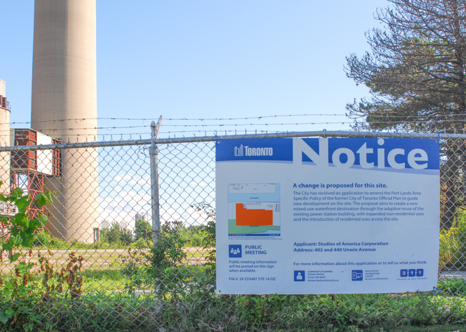
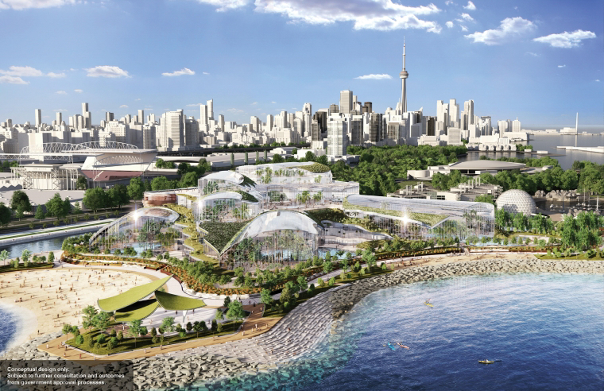
As far as any plan can be trusted, this is from Infrastructure Ontario, dated April 2023. The majority of the West Island becomes covered with a 12 acre waterpark and spa to be built by an Austrian company, Therme. The majority of that is housed in glass buildings.

This is a conceptual drawing from Therme’s website. That’s a lot of glass. If you know West Island, you’ll realize that this drawing looks nothing like it. That’s because everything is to be removed, leveled, and a lot of landfill added.

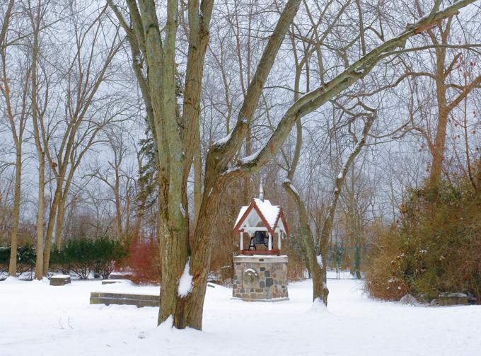
Already gone is a bell, the Goh Ohn Bell. This is the Japanese Canadian Centennial Temple Bell. I took this picture on the 20th of Sept and by the 25th it was gone. Despite a protest on the weekend, it was removed to storage. The Temple Bell was installed in 1977 in a structure designed by Raymond Moriyama (1929 – Sept 2023); it was a gift to the province Japanese Canadians living in Ontario to mark the centennial of Japanese settlement in Canada. Now it is in the way of the Therme spa. Even though the project has not been approved, the provincial government is plowing ahead.


Some say that the West Island is under used now anyhow…..
Perhaps. But the biggest reason for that is the neglect (negligence actually) that it’s been subjected to over the years.


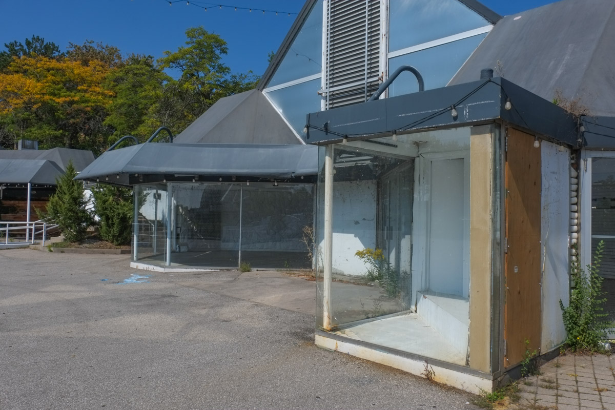
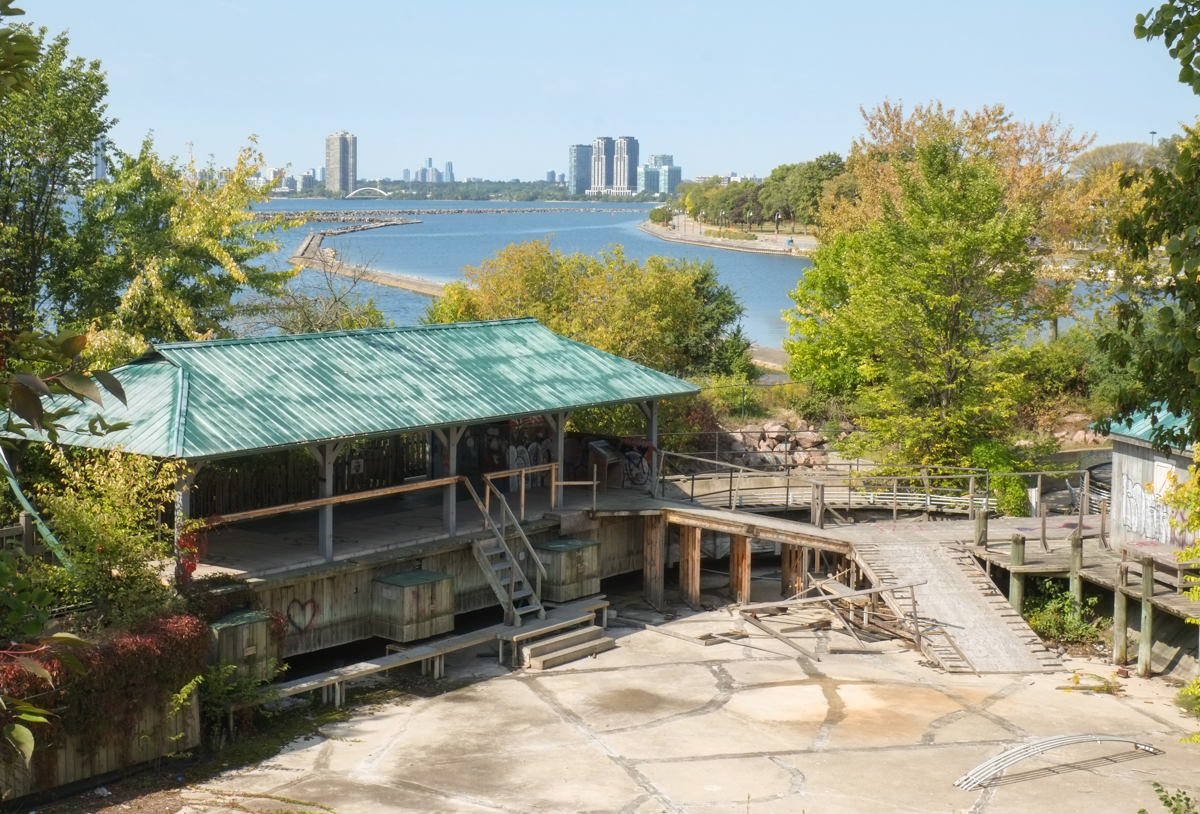
Once their were restaurants here but they closed years ago. Their ghosts remain.
below: Pizza anyone?


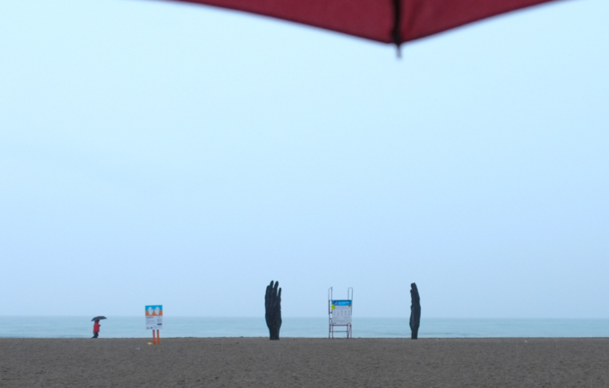
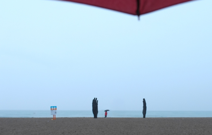
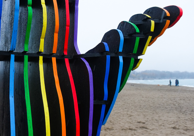
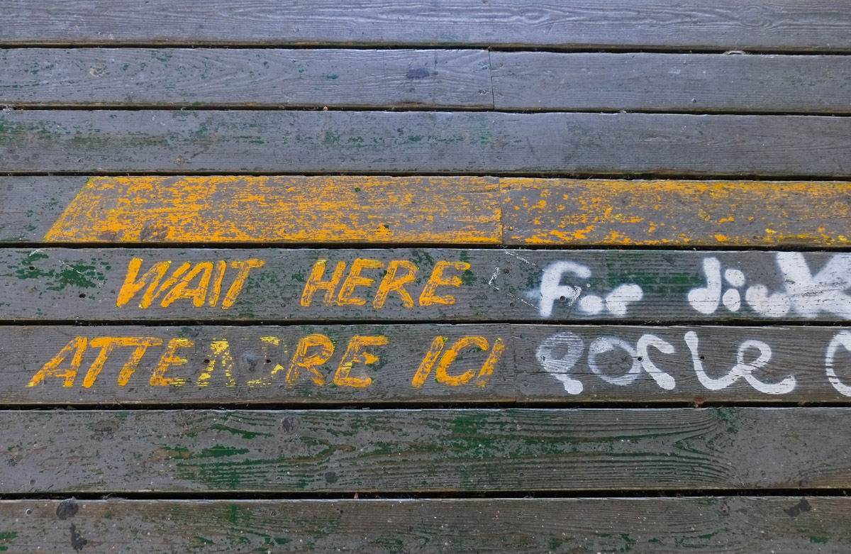
Once there were amusement rides here, those ghosts too still haunt the place.

below: Yellow lines to stand behind while you waited your turn for a ride.

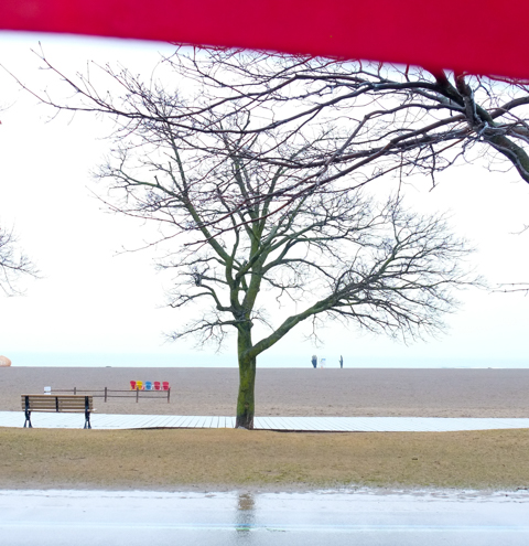
Once upon a time there was some attempt to make something of the place. Then it was abandoned and ignored. In those quiet years the beach and paths were used by those who knew about them. It became a peaceful spot.


Unknowns – there are many because there has been nothing transparent about any of the dealings between Therme and the provincial government. Therme gets a 95 year lease but what are the terms? The provincial government is going to pay for an underground (under the water table!) parking lot for 2000+ cars apparently. They will also be responsible for all those little details that you can’t see – like where does the water go when you flush the toilet? – those little pesky things. Rather than go into more detail here, I highly recommend John Lorinc’s article in Spacing magazine, Below Grade Scandal
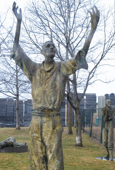
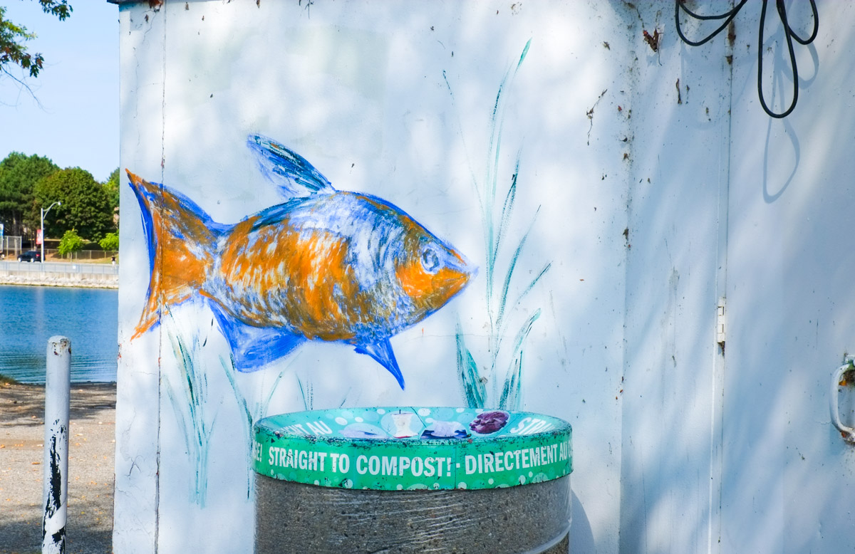
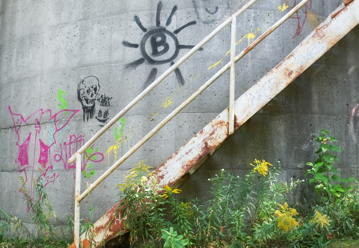
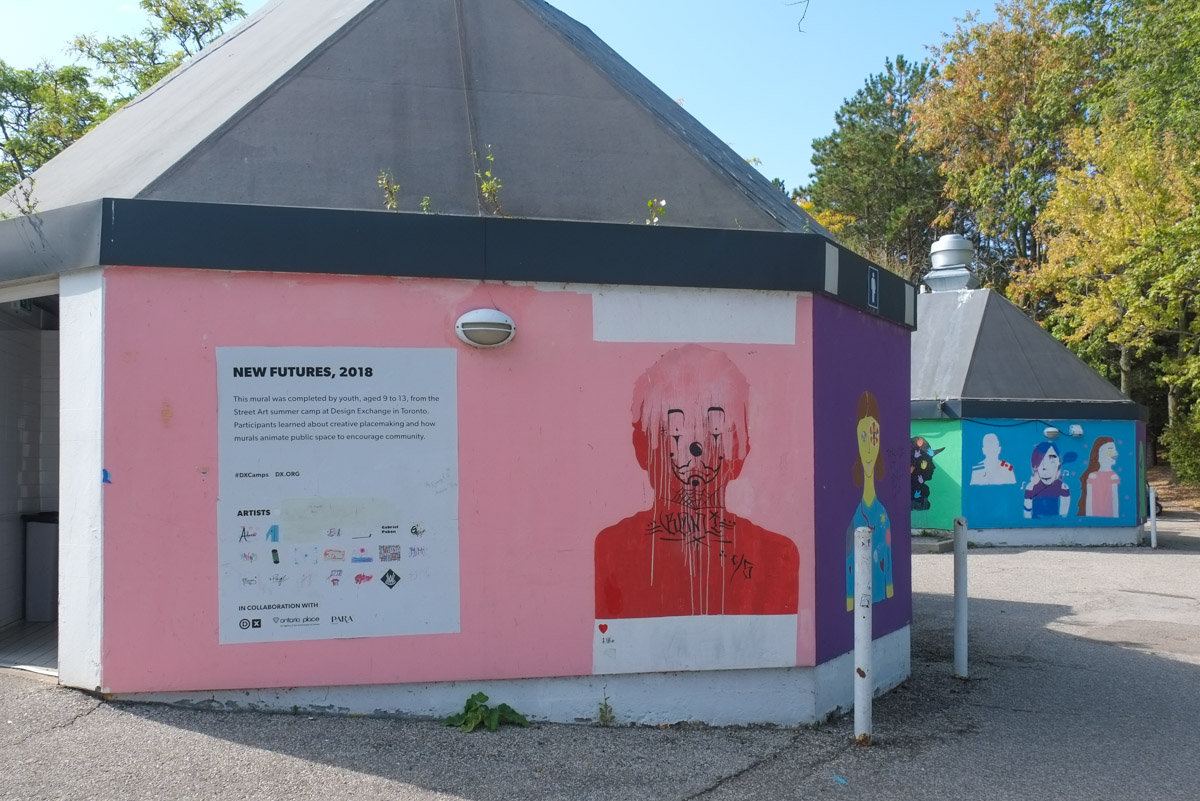
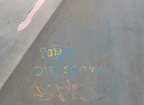
Not everyone is happy with the plans…..