Posts Tagged ‘Port Lands’

Part of Port Lands redevelopment.

Almost a year ago, a number of photos of the Port Lands work were installed along Villiers Street, “How to Build a River”.  This is at least the second exhibit by Vid Ingelevics and Ryan Walker in this location.  The prior set of images can be seen in a post from 2020, “the new Cherry Street bridge“.  It was part of the Contact Photography Festival for 2022.   I realize that it is now 2023 but I had forgotten about this exhibit until last week when I was walking in the area.

Here are some of the photos along with a few other details seen on Villiers Street.

below: “Sand and Charcoal”

photo by Vid Ingelevics and Ryan Walker of Port Lands redevelopment

a line of different coloured oil drums along a chainlink fence, wood fence behind

below: “Stratified River Ingredients”

photo by Vid Ingelevics and Ryan Walker of Port Lands redevelopment

hydro pole with metal remnants, overgrown with vines

below: Meander

photo by Vid Ingelevics and Ryan Walker of Port Lands redevelopment

below: Eastward on Villiers Street

north side of Villiers street, east of the Keating Channel pub

below: Crib Wall 3
photo by Vid Ingelevics and Ryan Walker of Port Lands redevelopment

no smoking sign on link fence beside a gate locked with two chains, one rusty and one newer. Also a hand painted sign that says don't park in front of the gate

below: “Layering Membrane”

photo by Vid Ingelevics and Ryan Walker of Port Lands redevelopment

a man in a yellow Toronto jacket rides his bike down Villiers street

below: “Transplanting #1”

large photograph by Vid Ingelevics and Ryan Walker mounted like a billboard on Villiers street

looking west along Villiers street to the large Lafarge cement silos at the end of the street, dirt and puddles in the median between the two lanes of traffic, a divided road

below: “Transplanting #2”

large photograph of a man transplanting plants and trees, in an orange vest, on the door of a silo

You might not be able to see these images any more. It is now May 2023 and there is another Contact Photography Festival that has just begun. Ingelevics and Walker have a newer exhibit planned which was scheduled to be installed for the 1st of May. Chances are this newer exhibit will stick around for a while too!

The middle of three new bridges built for the Port Lands redevelopment has just been opened to traffic.

looking north up cherry street through new yellow and white curvy bridge

The bridge may be open to traffic, but the area is still a construction zone!

Eventually Cherry Street will be realigned so that there is no jog in it at Lakeshore.    At this point in time, the south part of the realignment is closer to completion.  This is where the new bridge is.

Commissioners Street has been extended westward to join the new segment of Cherry Street.

 below: This is the east intersection of Commissioners and Cherry (looking east).  Yes, it’s a mess!  There are traffic signals even though only two of the four approaches are open.  If you are traveling south on Cherry, you have to turn right onto Commissioners.

cherry street and commissioners street intersection, canary diner restaurant, construction, port lands redevelopment

below: Same intersection, looking west.

intersection of Cherry and Commissioners street, construction, police watching over, trucks in intersection, new traffic signals

below: New part of Commissioners Street

construction along the west end of Commissioners street in the port lands, with the toronto skyline in the background

below: The west part of Commissioners ends here

dead end street, Commissioners street, west end, fence and no entry signs, traffic lights

below: If you stand in the same place as the above photo but turn to your right, this is the view that you see.  This is the new part of Cherry Street being realigned to match the section north of Lakeshore Blvd.  The new bridges over the Keating Channel are in place but there is still a lot to be done before this part of Cherry Street can be opened.

Glooking north where the new part part of Cherry Street is being built, new double bridge to go over the Keating channel as well as condos in Distillery District are in the background

below:  Looking south… It is the middle bridge that has been opened to traffic first.  It is located approximately where the T ‘n T grocery store used to be.  An interesting line of large boulders!

new Cherry Street bridge with its yellow curved lines, large rocks in the dirt in the foreground, construction still in progress

below: This is the view from the new bridge looking west.  The large white crane structure predates the construction.  The channel has always been here as it provides water/ship access to the Lafarge cement site on the south side of the waterway.  What is new is that the channel is being extended eastward to join the mouth of the Don River.

view from the Cherry Street bridge new bridge, towards Lake Ontario, Toronto skyline in the background, construction equipment in the foreground for the redevelopment of the Port Lands

below: Traveling northbound

a cement truck and a ttc bus on Cherry street on the new bridge

two cyclists pass over the new Cherry Street bridge in the bike lane

below: Looking east from the bridge.   Pinewood studios in the background on the right.

looking east from port lands yellow bridge, overlooking construction in port lands

below: Another view to the east but slightly more south.  This time Pinewood Studios is more to the left in the photo.   A pedestrian bridge is already built to span the new water channel that is under construction.

port lands redevelopment, noew pedestrian bridge over new water channel that is being created

temporary pole with pedestrian crossing light at an intersection in a construction zone, a cyclist is passing through, new port Lands bridge in the background

below: Looking north up Cherry Street towards the Distillery District.  The old, and now closed part, of the street is being torn up.  The new street and bridge are to the left in this photo.

port lands construction site, starting to tear up the old part of Cherry Street, distillery district condos in the background

port lands construction site, starting to tear up the old part of Cherry Street, distillery district condos in the background

big yellow machinery digging up the asphalt from an old road and placing it in a dump truck

a man in a red shirt walks two dogs on the sidewalk along Cherry street, towards construction and the new bridge, TTC bus in the oncoming lane of traffic

orange construction sign that says be prepared to stop, haul trucks entering and exiting, with construction, and a large dump truck beside and behind the sign

below: To the south, the lift bridge on Cherry Street is being refurbished but not replaced.  This part of Cherry Street is not being moved.

looking south at Cherry Street to lift bridge that is being refurbished

in the early morning sun, stairs in the sunlight beside a bridge, going down to the water, an old building and its reflections behind

more changes, more demolition

From Leslie to Cherry, Commissioners Street runs through the middle of the Port Lands, or at least it used to. The re-making of the mouth of the Don River involves a new waterway that cuts Commissioners into two sections.  This blog post is a quick look at the east side.

Toronto blue and white street sign for Commissioners Road, also a sign for Port of Toronto

below: TTC streetcar leaving Leslie Barns at Leslie and Commissioners- celebrating 100 years.

TTC streetcar leaving Leslie Barns, sides are decorated with pictures commemorating 100 years of the TTC

below: There are a lot of cement mixers in the area!

cement plant on Commissioners Road, cement truck parked in front

cement concrete facility

below: Canada Post has a large presence in the area too.  A series of images of stamps featuring Canadian birds, such as this black-capped chickadee, decorate the exterior wall of one of their buildings.

picture of Canada Post  stamp with a chickadee on it


port a pottie by a wall holding back a pile of sand

below: Portlands Energy Center on the other side of the Shipping Channel.   This is natural gas powered electricity generating facility.  It also has a steam turbine generator that allows it to make electricity using steam from waste heat.

gas powered electric station on the shores of the Shipping Channel in the port lands, large white building with 2 tall smoke stacks

below:  Commissioners Street now ends at Saulter

end of Commissioners Road, chainlink fence, road taken up, Toronto skyline behind

below: The new bridge has been delivered and sits at the western end of Commissioners, on the other side of the gap.  Soon(?) that gap will be part of the new route of the Don River.

in the distance, new bridge for Commissioners Road, end of Commissioners Road, chainlink fence, road taken up, Toronto skyline behind

port lands construction with city skyline behind

below: Looking north on Saulter Street towards Villiers Street.  Metal beams from the Gardiner are being lowered to the ground.

looking north on Saulter street towards demolition work on the gardiner

below: New utility poles on Saulter, with another view of the Gardiner demolition.

new utility poles at a construction site, hydro poles

below: Saturday traffic on Villiers.  The Lakeshore is closed on the weekends to facilitate the dismantling of the Gardiner.  Yes, it does cause traffic issues and confusion!

construction zone along Villiers Street, concrete barricades separating car traffic from cyclists, blue fence around construction, demolition of the Gardiner Expressway, skyline in background

below: Looking north on Don Roadway from Villiers

looking north on Don Roadway from Villiers, demolition of Gardiner

very large crane on Don Roadway, Gardiner demolition

red and white danger due to sign, danger due to noise

below: Some of the concrete bents from the Gardiner still stand as does the curved elevated ramp from the Gardiner to the DVP.

motorcyclists wait for traffic light at intersection of Don Roadway and Villers, construction behind them, removal of eastern portion of the Gardiner Expressway

below: An abrupt end

ramp to Don Valley Parkway is still in place but the Gardiner is gone except for a couple of bents

below: Crane demolishing a concrete bent beside the Keating Channel.

demolition of the Gardiner, yellow crane, by Keating channel

below: An older photo from 2015 showing the Gardiner Expressway on the north shore of the Keating Channel with the Lakeshore below. The yellow crane in the image above is close to where the blue barge is in this picture (but on the shore side!).   The supports for the Gardiner over the mouth of the Don River are metal (the greenish coloured two on the right side of this photo), not concrete like the others.  These metal supports is at the right edge of the photo above.

from 2015, photo of Gardiner along the north shore of the Keating channel

photo taken in 2015

demolishing concrete bents under the Gardiner, catching debris in nets and on sliders that direct rubble to piles

below: When the steel beams are removed, they are first trimmed and cut in half.

men helping a crane to direct a girder down to the ground while another machine breaks another girder to get it ready to go in truck

below: They are then hauled away to another site where they are cut down even more.

truck taking away girders that have been removed

below: Standing in the middle of Lakeshore Blvd and looking west. Remains of the Gardiner.

taken from center of Lakeshore - Lakeshore looking west from Bouchette, middle of Gardiner demolition, road surface is missing but steel structure is still there

below: Side view, Lakeshore with remnants of the Gardiner rising up beside.  Soon to be gone.

side view, Lakeshore looking west from Bouchette, middle of Gardiner demolition, road surface is missing but steel structure is still there

cyclist rides on the sidewalk past construction site in Port Lands, Gardiner demolition

The other day, later in the afternoon, I was driving along the Lakeshore when I noticed that perfect lighting on the south side of the Keating Channel.  I’ve done blog posts about the Port Lands development but I hadn’t looked at it from the other side.  A quick change of plans – a parking spot nearby and a walk along the Lakeshore.  This is some of what I saw that day.

below: At the bottom of Cherry Street

Cherry street railway building

below: At the corner of Cherry and Lakeshore.

old concrete silos as seen from Lakeshire and Cherrt, with Gardiner Expressway above

below: Along the Lakeshore, looking south towards Port Lands at Cherry.

yellow fire hydrant in front, guard rails along the side of Lakeshore Blvd, with Lafarge silos in the background

below: The Gardiner curves slightly northward as it aligns with the Keating Channel.  Lakeshore Blvd takes a wider turn and comes out from under the Gardiner for a few brief moments before slipping back under as both roads parallel the channel.

Gardiner Expressway curves to the left

below:  On the south side of Lakeshore, there is no sidewalk here but the grassy area is wide enough…..

shadow on the grass beside the Lakeshore

below:  Walking here offers a different view of the Port Lands.  The “smokestack” on the right is the old Hearn Generating station.

Keating Channel, looking east

below: Some of the buildings that remain on Villiers Street.

looking across the Keating Channel to a low rise building, square dock juts into the channel

old buildings still remaing on Villies Street as seen from across the Keating Channel

below: Panorama of Keating Channel being developed, 1916, before there was much on the Port Lands and  Cherry Street was just a one lane dirt road.

panorama - 1914 picture of building of Keating channel to divery mouth of Don River to Lake Ontario, black and white vintage photo, also Port Lands before they were developed

below: Keating Channel, 1916

1914 picture of building of Keating channel to divery mouth of Don River to Lake Ontario, black and white vintage photo
The original plan for the diversion of the Don River called for a more curved mouth of the river before it joined the Keating Channel.  But the British American Oil Company who owned the land fought that idea.  Instead, the 90 degree turn that still exists today was built to avoid crossing B/A property.

below: A few years after the channel was upgraded (1934)…  From vacant land to a forest of BA oil tanks. There are railway tracks along the edge of the channel.  From Wikipedia: “In 1908, with 8 shareholders, B/A built Canada’s third refinery on 3 acres on the eastern waterfront in Toronto. The company refined imported crude oil and its main product was kerosene; a then-useless by-product was gasoline, which was dumped into a swamp.”

photo of Keating Street

Photo by Arthur Beales. Toronto Port Authority Archives, PC 1/1/10769. Found at Wikimedia Common

.

below: BA refinery with the Don River on the right, 1931.  There were still storage tanks here in the 1960s when the city was building the Gardiner Expressway.

1931 photograph, vintage, black and white, of British American oil refinery just north of the Keating Channel and just west of the Don River,

Photo source: Library and Archives Canada, online

.

below: This rusty “fence” isn’t going to hold anyone or anything back.  I had visions of tumbling into the icy channel if I went near it.  I think that just looking at it made it wobble.

old rusty metal barrier between the Keating Channel and the road, with some weeds and gravel

below: There are still places to tie up your boat

a large metal piece beside keating channel, for tying off boats who want to park there,

below: A big tap? It’s attached to a pipeline but is it functional?  (It doesn’t look like it).  There is a lot of infrastructure buried under the Lakeshore, sewer lines, water mains, electricals, etc., but this looks like a piece of history.  Pleased correct me if I’m wrong!  Also – if you plan to explore here, there are stretches where the only option is to walk right beside the road.

old rusty large valve for a pipeline, beside Lakeshore Blvd,

below: Likewise, the box structure is probably there to protect the rest – but what are they?  Valves of some kind?

old metal pieces of hardware, pipes and valves?, rusty, beside the Keating channel

lone building onthe other side of the water, surrounded by construction at ground level.  boarded up, two storey building

construction in the background, blue digger, vacant land, and the Keating channel in the foreground, ducks in the water

below: Looking north to Canary District and West Don Lands development.  The oil tanks are long gone.

Canary district development from the Lakeshore, looking north,

below: Looking up from Lakeshore, under both the Gardiner and the ramp from the DVP

view from the Lakeshore looking up to the Gardiner Expressway and the underside of the ramp from the Don Valley Parkway to the Gardiner, 3 levels of concrete pillars and roadway.

below: Looking west from Don Roadway along the Keating Channel to the new Cherry Street bridge.

view from the Don Roadway back to the new Cherry Street bridge, looking west, with the Gardiner to the right, Keating channel with thin layer of ice on it, docks and a few buildings on the Port Lands side of the channel

below: Intersection of Lakeshore and Don Roadway.

at the intersection of Don Roadway and Lakeshore Blvd, traffic cones and a blue sign that says sidewalk closed ahead

below: Two metal transmission towers standing side by side.  Geometrical, straight lines, yet lace-like.

two tall metal hydro poles with lots of blue sky, power plant in the distance, and looking very small

below: From the Don Roadway, northbound and homeward

street art on the concrete bents holding up the ramp from D V P to Gardiner Expressway, walking path beside, with a man walking his dog,

close up of part of electrical station equipment, with water tower in the background with word Ponds written on it

chain link fence with a design woven into it with different colours, artwork, shrubbery with no leaves (winter time), billboard on an expressway in the background

people standing on the cherry street bridge taking pictures of the new bridge

The latest attraction is the new Cherry Street bridge pictured here just after its arrival by barge from Nova Scotia where it was manufactured by Cherubini Group.   It’s a shiny white steel bridge with a red racing stripe.  It is 57 metres long and wide enough to carry LRT tracks and a pedestrian walkway.  Another identical bridge to go beside it for road traffic comes later.

new Cherry street bridge on a barge in the Keating channel, just arrived from Nova Scotia, CN Tower and Toronto skyline in the distance

construction ahead sign off to the side beside a chainlink fence with weeds growing behind it, afternoon sun is shining through fence

below: Digging up the city. Sometimes it seems like we are living in one big construction zone.

in the foreground, a red digger digs soil in the port lands, the CN Tower and toronto skyline in the distance

Cherry street in the midst of construction

The bridge is not the only “sight” at the Port Lands.  There is also a photography exhibit of pictures taken of the buildings before they were demolished.  ‘Framework’ by Vid Ingelevis and Ryan Walker.  This is part of the CONTACT Photography Festival that was originally scheduled for May.

below: Interior, 130 Commissioners Street (Coopers Iron and Metal, an old metal recycling facility).  The photograph is mounted on the roll-up door of one of the ESSROC cement plant silos –  now a heritage site.

large photo of an empty old warehouse mounted on an exterior metal door

below: Cleaning the streets.  The ESSROC silos dominate the streetscape here on Cherry Street (looking north towards the condos in the Distillery District).

three tall silos that were part of essroc cement plant, now a heritage site in the port lands, a street cleaner is parked on the road, two condo towers in the distillery district can be seen in the background

below: The back of one of the few remaining buildings as seen from Cherry Street.   It fronts onto Munitions Street.

back of an empty building, vacant lot behind, graffiti on walls

below: Cherry Street bascule bridge in the upright position.   Most of the Framework exhibit is down the center of Villiers Street on top of the remains of the old railway line. There are five panels like this one, each with a picture on both sides.

large photo being displayed outside at Port Lands, part of Framework exhibit by Vid Ingelevics and Ryan Walker

below: Most of the Port Lands redevelopment is occurring behind fences.

a wire gate on wheels in front of a construction site

piles of dirt, film studio, hydro wires,

below: A very large spike!

giant spike sticking out of an old piece of wood,dirty, on ground, in construction zone

hydro poles and wires in the distance, piles of dirt in the foreground

below: 130 Commissioners Street, September 2019

large photo being displayed outside at Port Lands, part of Framework exhibit by Vid Ingelevics and Ryan Walker

below: Abandoned gas station with its rusting gas pump.

old gas pump at now abandoned marine gas station beside the Keating channel, Gardiner Expressway, CN Tower and Toronto skyline in the distance

below: 99 Commissioners Street, July 2019

large photo being displayed outside at Port Lands, part of Framework exhibit by Vid Ingelevics and Ryan Walker

an old round rusty Viking brand sprinkler alarm on the outside of a building

corrugated metal cladding on a building with a window and an old rusty sign with graffiti on it

below: 97 Commissioners Street, August 2019

large photo being displayed outside at Port Lands, part of Framework exhibit by Vid Ingelevics and Ryan Walker

below: Commissioners Street closed to traffic.

road closed sign in the middle of the street, commissioners street in the port lands

Commissioners street construction in the port lands

below: Control room, Cherry Street bridge, July 2019

large photo being displayed outside at Port Lands, part of Framework exhibit by Vid Ingelevics and Ryan Walker

a bike leaning against a tree, the Keating channel behind it, as well as Port Lands construction.

a window with on old rusty metal grille covering it, and a white bucket hanging by a chain

below: 130 Commissioners Street, September 2019

large photo being displayed outside at Port Lands, part of Framework exhibit by Vid Ingelevics and Ryan Walker

draped black fabric forms a fence at a construction site, CN Tower and Toronto skyline in the distance

a vine with dried berries and leaves grows on a barbed wire fence

below: An old Urban ninja squadron sticker on a TTC bus stop sign

an old urban ninja squadron tbonez sticker on a ttc pole

below: Dump truck on Villiers Street

dump truck on road in Port Lands, construction

a tree with crooked branches in front of an Ellis Don blue fence around Port Lands construction site, CN Tower and Toronto skyline in the distance

Later: Just before sunset, the new bridge in the Keating Channel.  It has since been rotated ninety degrees into the proper alignment for the new segment of Cherry Street.   This job was made it easy by the fact that the bridge was mounted on a large turntable on the barge.  It now has to be welded into place.   The old bastule (lift) bridge now in place is slated for demolition in late 2021.

cherry street bridge and portlands from above

‘Framework’ will be on display until August 2021.

Along came September and right away we’re into fall weather.  I offer this post as reminder of warmer days not so long ago…..

below: Cherry Beach on a sunny August afternoon – keeping our distances

people on Cherry beach on a hot summer day, some walking, some lying or sitting on the sand

The unicorn days of summer

a verylarge inflatable white unicorn with pink and yellow mane and tail, floatie, on the beach with Lake Ontario behind it

a woman sits on the sand at Cherry Beach, under a tree, with bike parked against the tree

below: Apples.  I like finding apple trees in unexpected places like behind Cherry Beach.

apple tree

below: One of the many little boat and sailing clubs east of Cherry Beach.

wide chain link gate leading to a small boat club. Sailboats on the land, water in the background, lots of greenery

below: An older building on Polson Street that remains.

old brick building

below: A temporary stage was set up on Polson Street across the street from The Rebel nightclub and concert venue.

green covering on fence surrounding a temporary outdoor stage and theater. A man stands beside a bike, trying to look through gaps in the fence

two people sitting on the ground looking at their phones in the foreground, fence between them and a singer rehearsing on a stage behind them

a collection of orange bollards for traffic, sitting beside the road and driveway leading to a parking lot. Parking lot booth in the background, empty

below:  Every time I walk in the Port Lands, it’s a little different.  One constant is the many acres that remain behind barriers.

blue vinyl on hoardings around a construction site with six large orange and black traffic cones in front

below: A fire breathing monster?

shadows of a fence and a pubble in the shape of a monster with its mouth wide open, beside a construction site inthe port lands

below: Cherry Street sidewalk is blocked (at T ‘N T)

danger due to sign on a metal fence surrounding construction site which includes the sidewalk, Toronto skyline in the distance

below: All that remains of the T ‘N T Supermarket is the front entrance.   The rest of the store has been demolished.  A river will flow here one day.

construction site, Lafarge cement silos in the background, all that remains of the T N T supermarket is the front entrance

below: Rowing down Cherry Street

large painting on hoardings of a blue stripe on the bottom representing water of Lake Ontario and a small red boat

below: On Villiers Street

rusty chain holds a gate closed on chainlink fence, vacant lot behind

below: Most of the storage tanks are gone and all the gates are locked.

below: A quiet place to sit, outside Humipan’s

old building, one storey, with rusty metal bars on the windows, turquoise picnic tables outside,

below: Accepted?  Shouldn’t it be bikes excepted?

black and white arrow direction signs traffic signs, right lane turns right and left lane turns left. Also sign that says bike accepted.

a man dressed in yellow plaid shorts and shirt stands on a corner

Stay you!

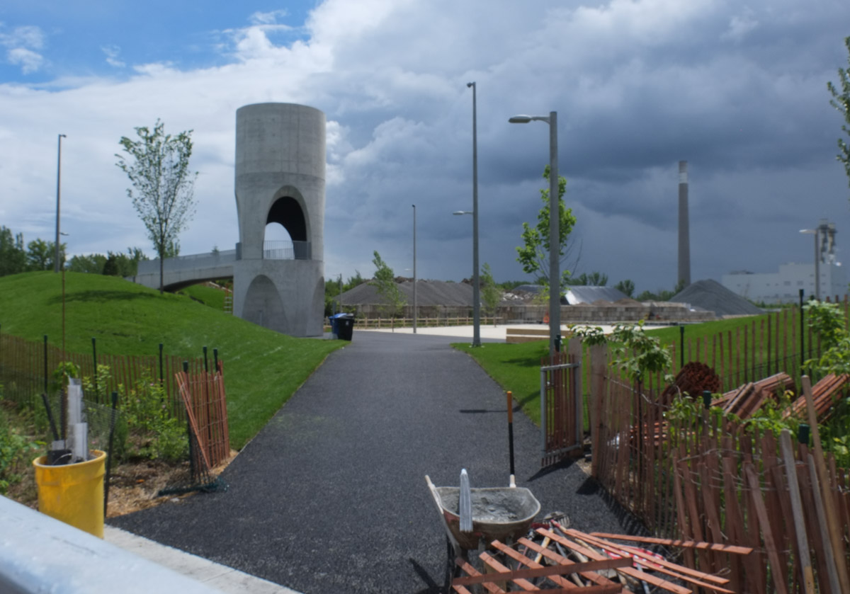
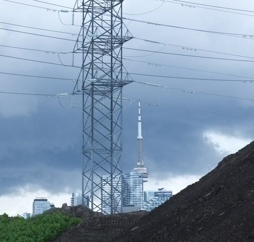
Work on the Port Land redevelopment continues.  The area is changing fast enough that I thought another visit would be a good idea.

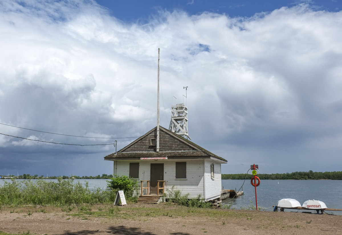
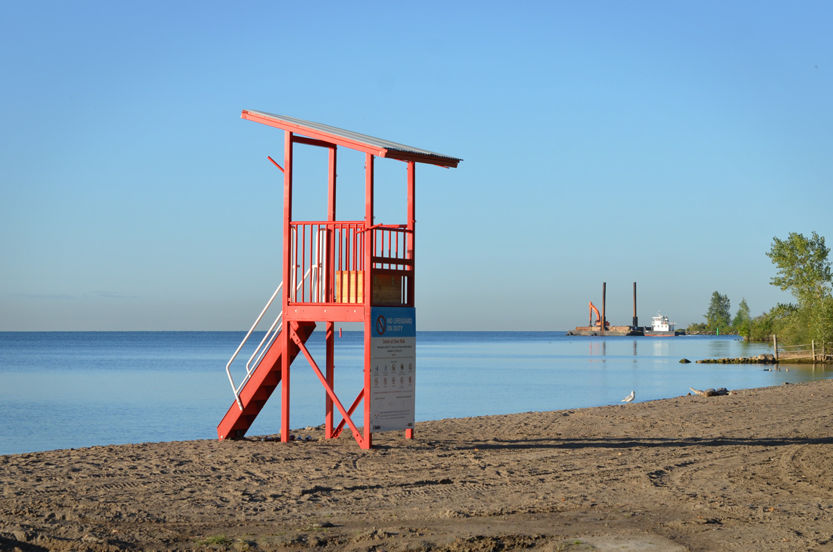
below: Cherry Lifeguard Station, calm and peaceful in the early morning.  On a weekday in September all is quiet here.

cherry lifeguard station, with dock in front, very calm and still water, reflections of the building in the water, early morning,

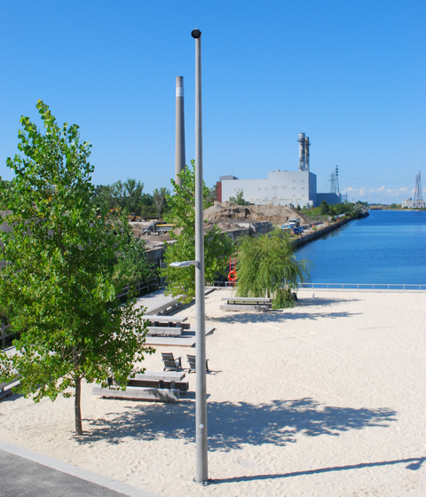
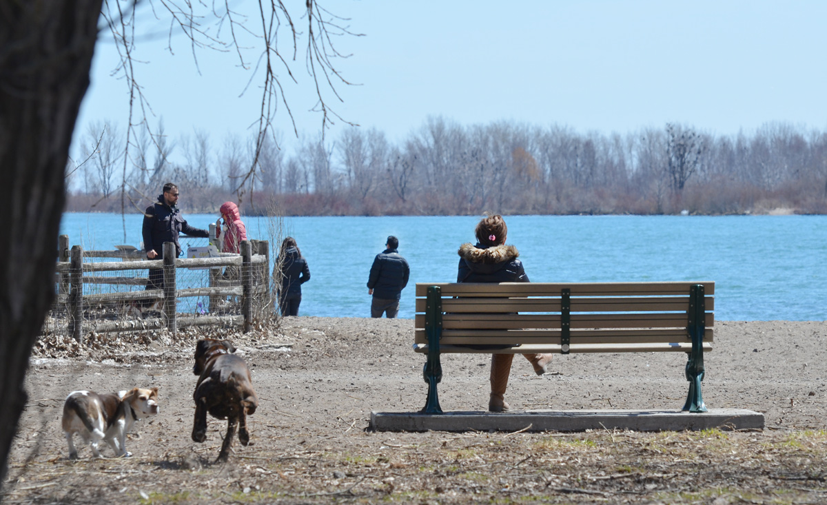
below: A new red lifeguard chair sits on a freshly raked beach.  In the distance, a tug pushes a barge out of the harbour and onto Lake Ontario.

red lifeguard station on cherry beach in the morning

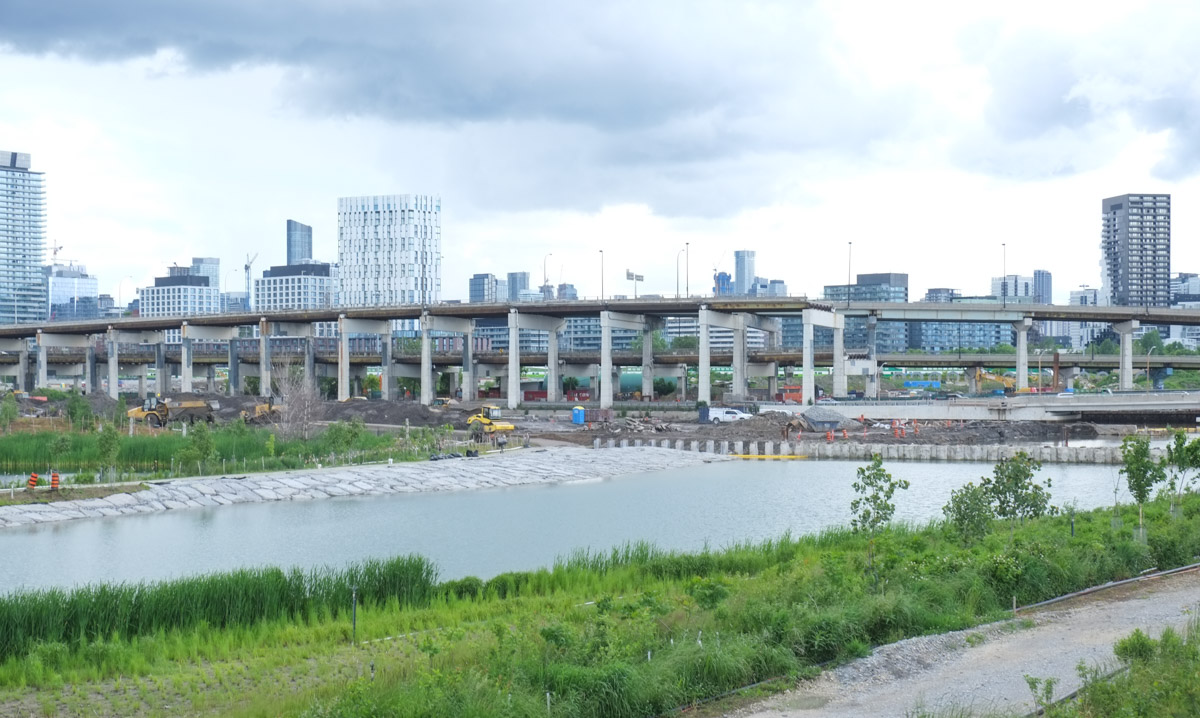
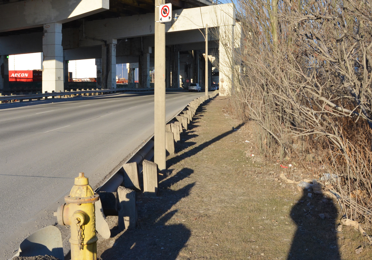
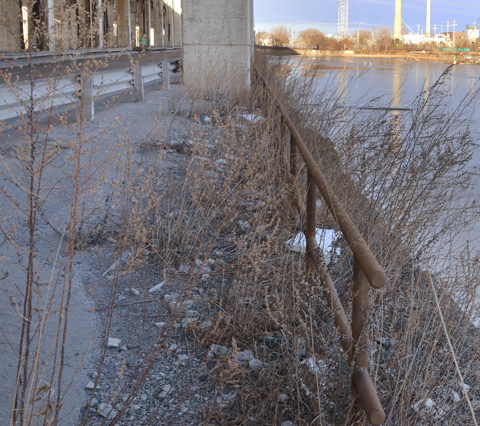
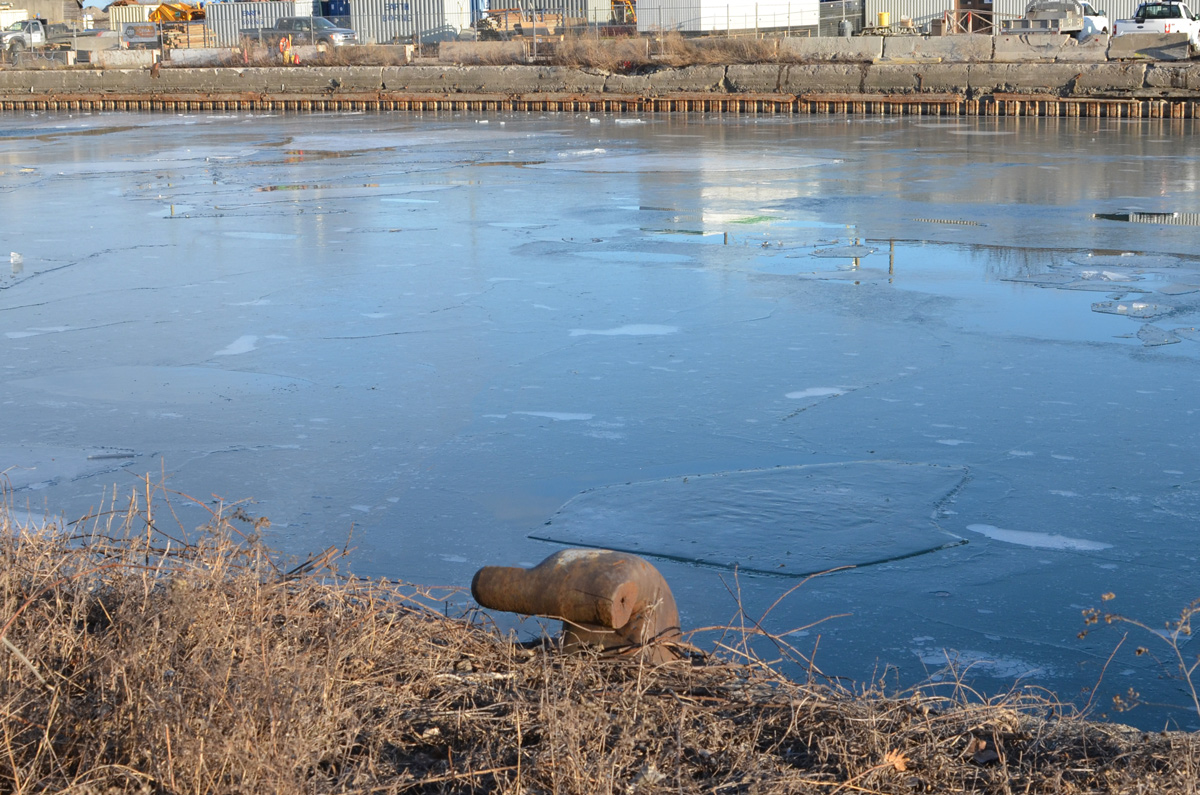
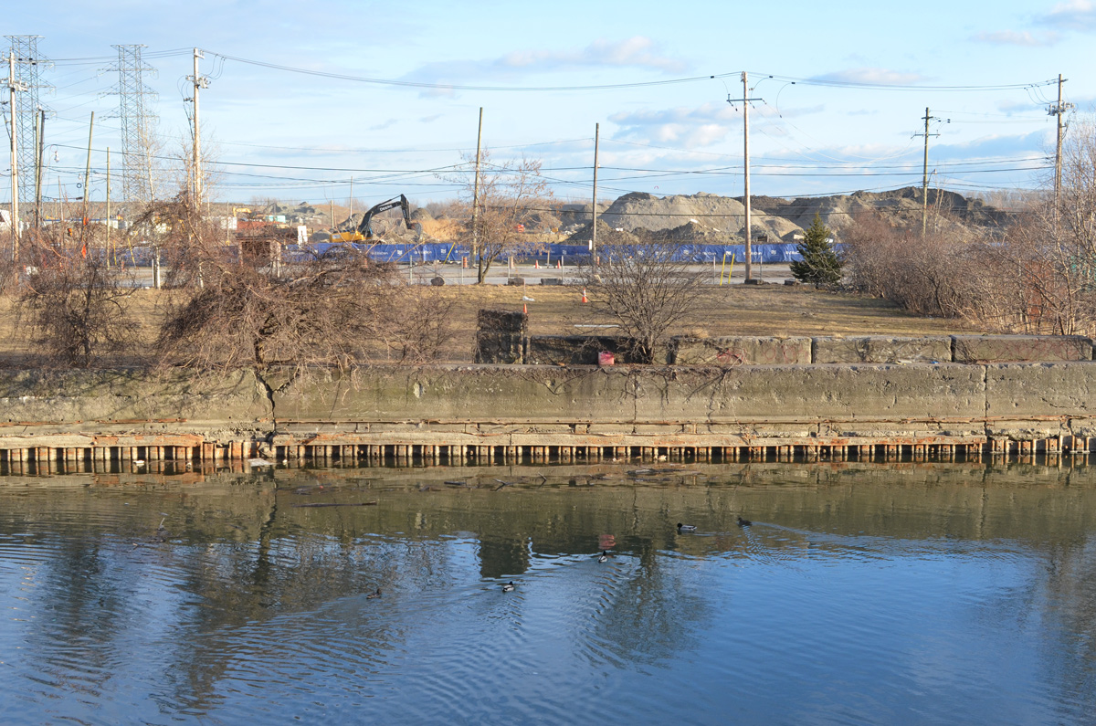
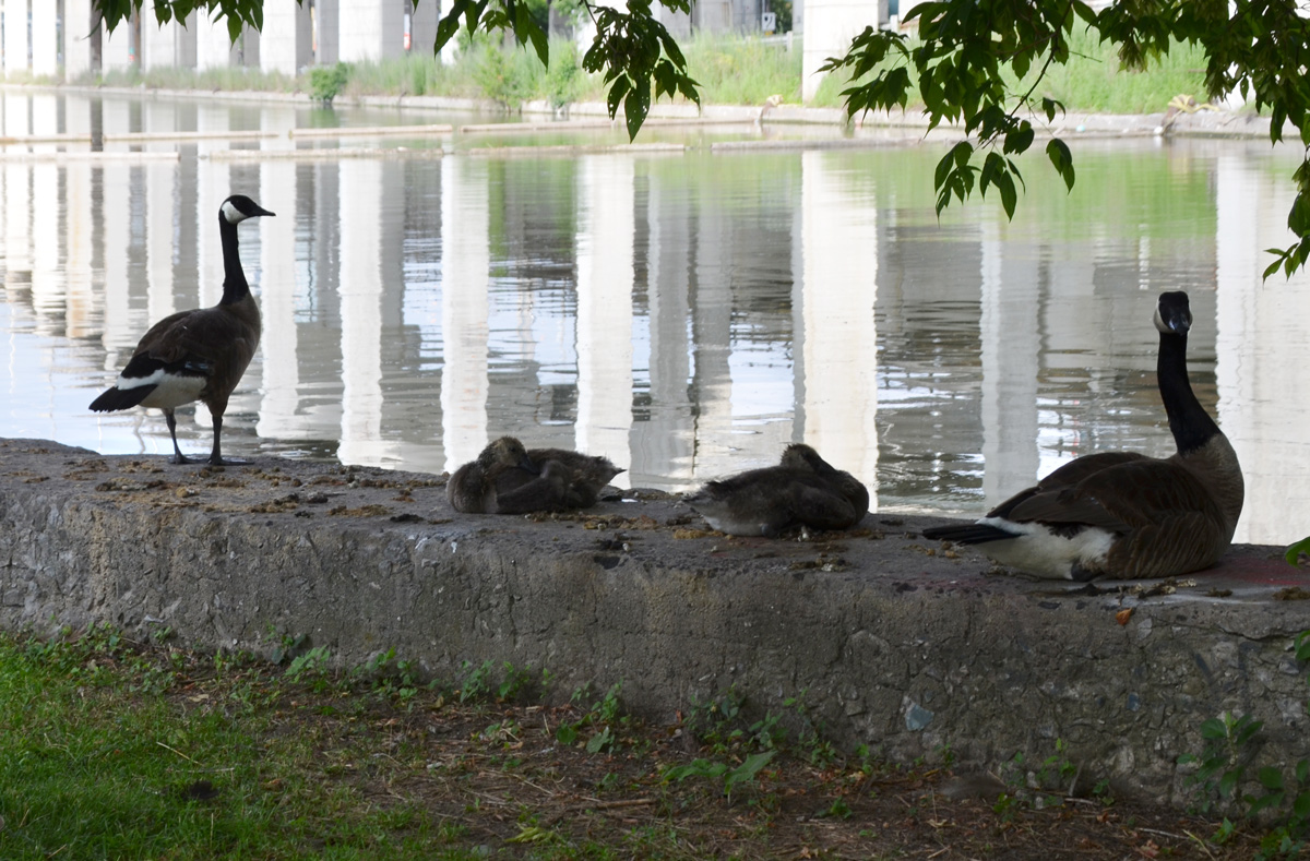
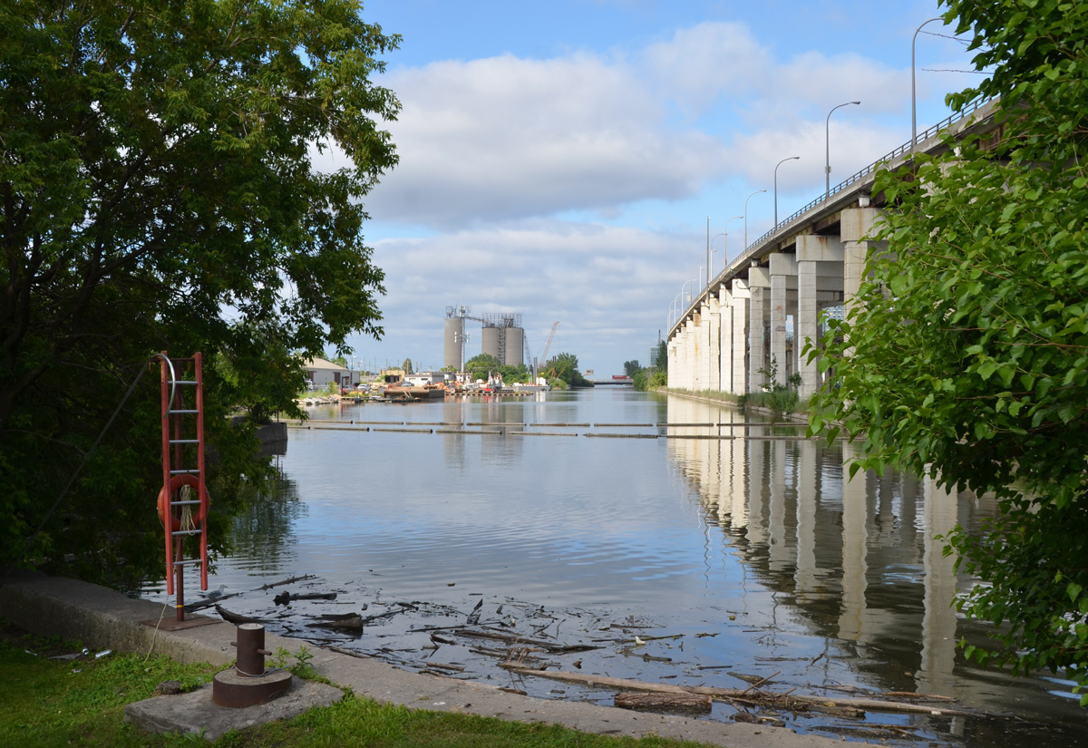
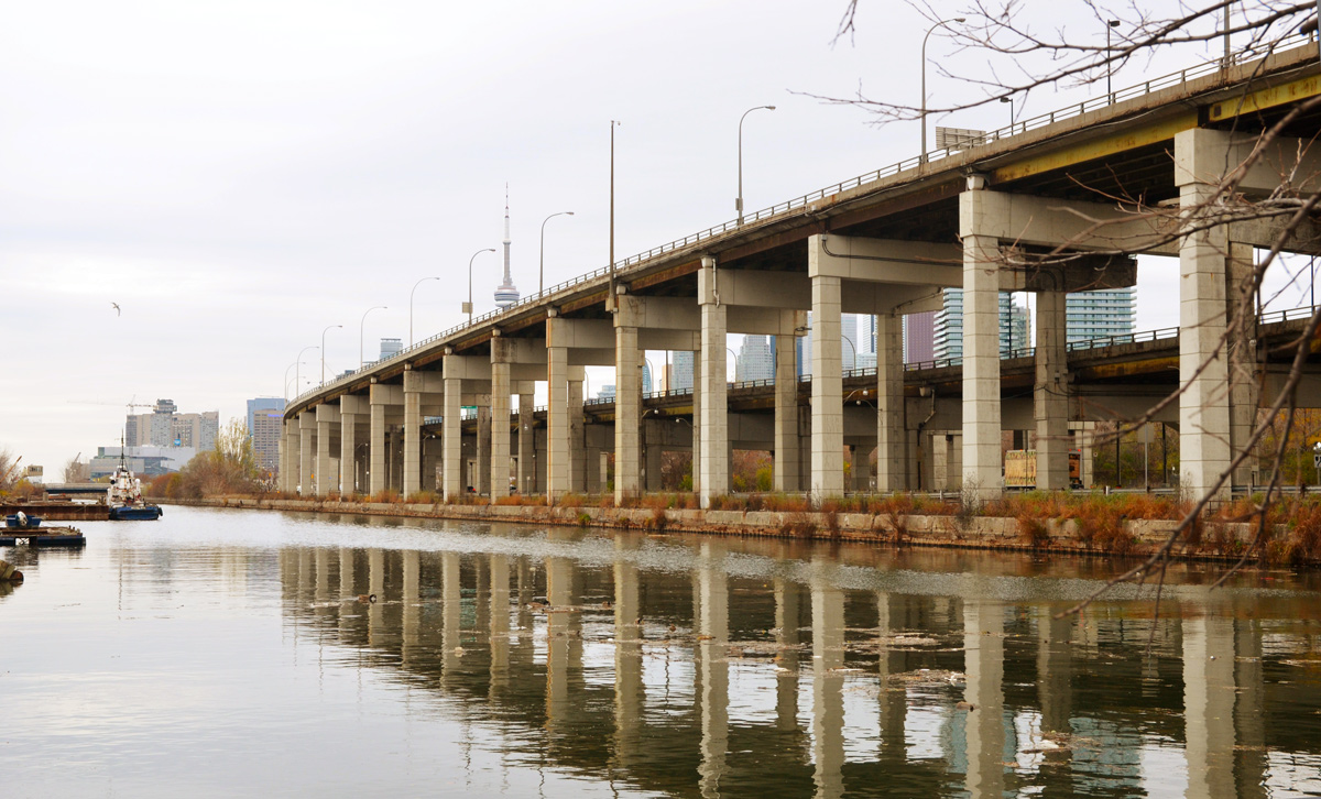
below: A family of Canada geese rest on the embankment of the Keating Channel. The white concrete supports of the Gardiner Expressway are reflected in the water.

white concrete supports of the elevated Gardiner Expressway are reflected in the water of the Keating Channel while a family of Canada Geese sit on the bank

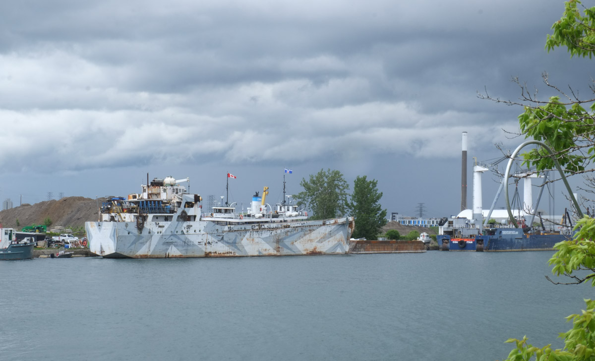
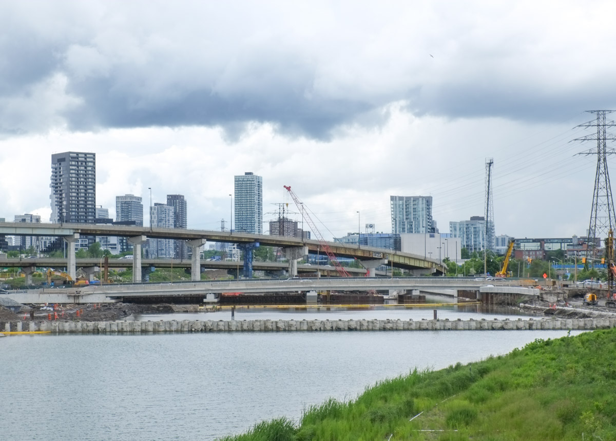
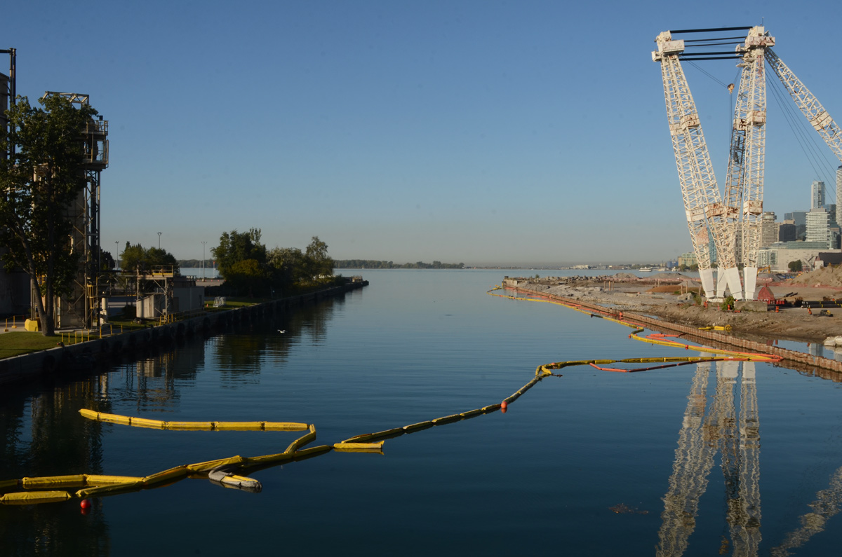
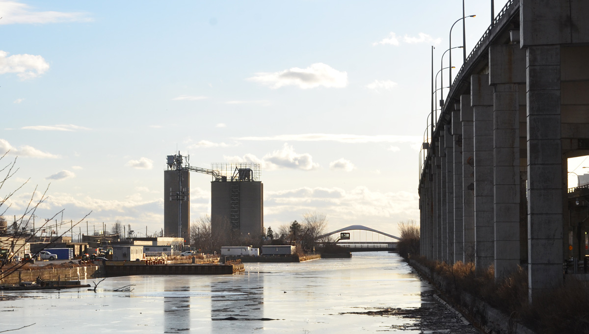
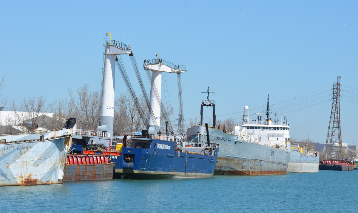
below: Looking west along the Keating Channel. The Don River empties to the bottom right, just out of the picture. At the moment, the Keating Channel is the only route to Lake Ontario but this is about to change.

looking west along the Keating Channel, trees on the left, Gardiner Expressway on the right

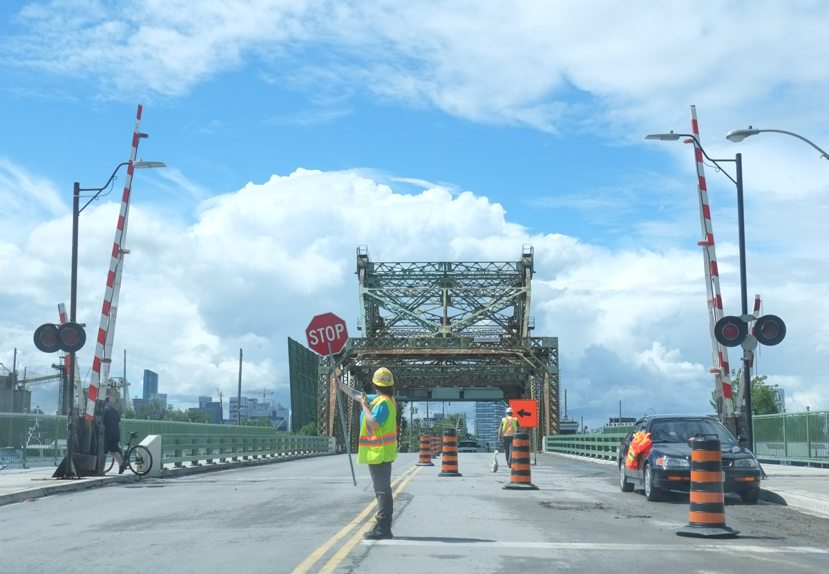
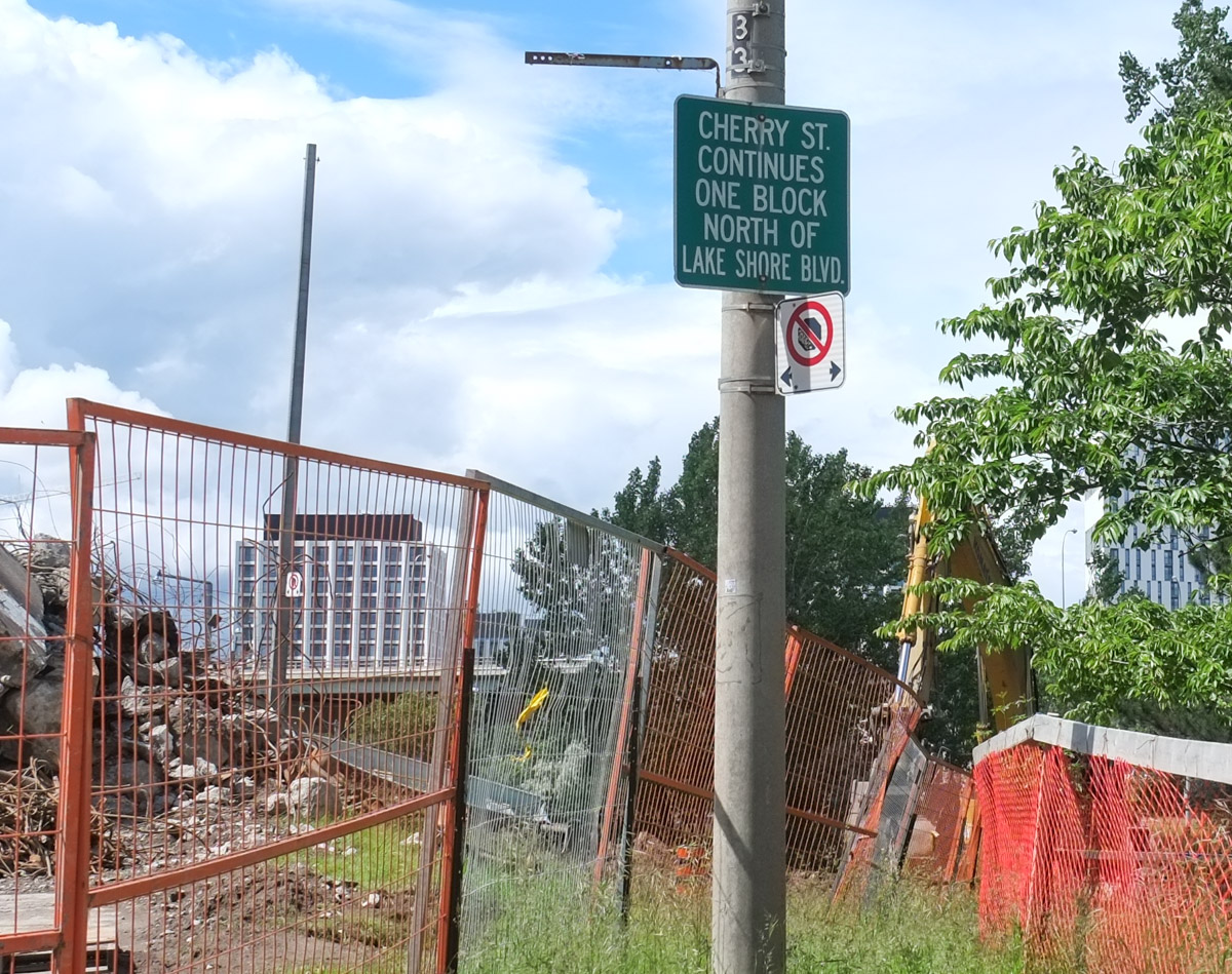
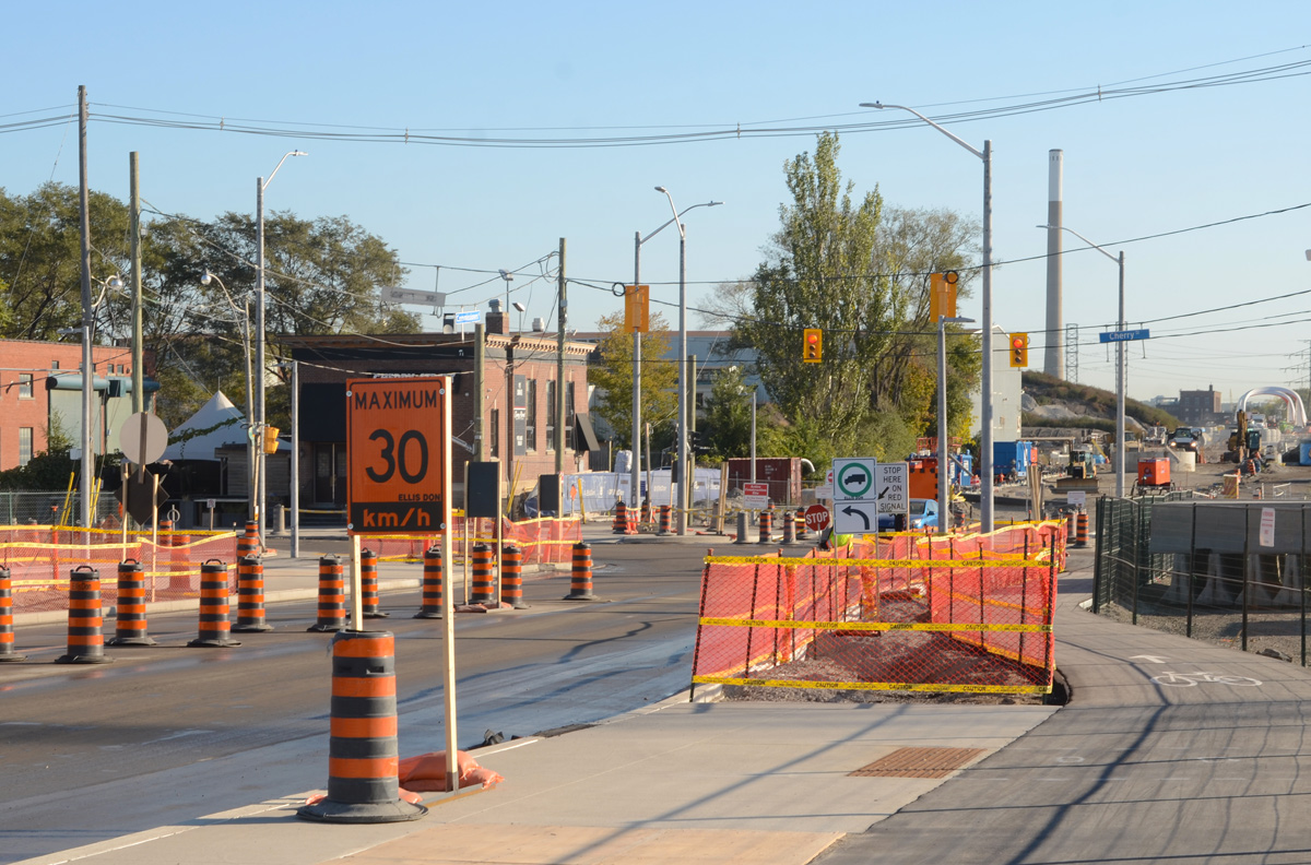
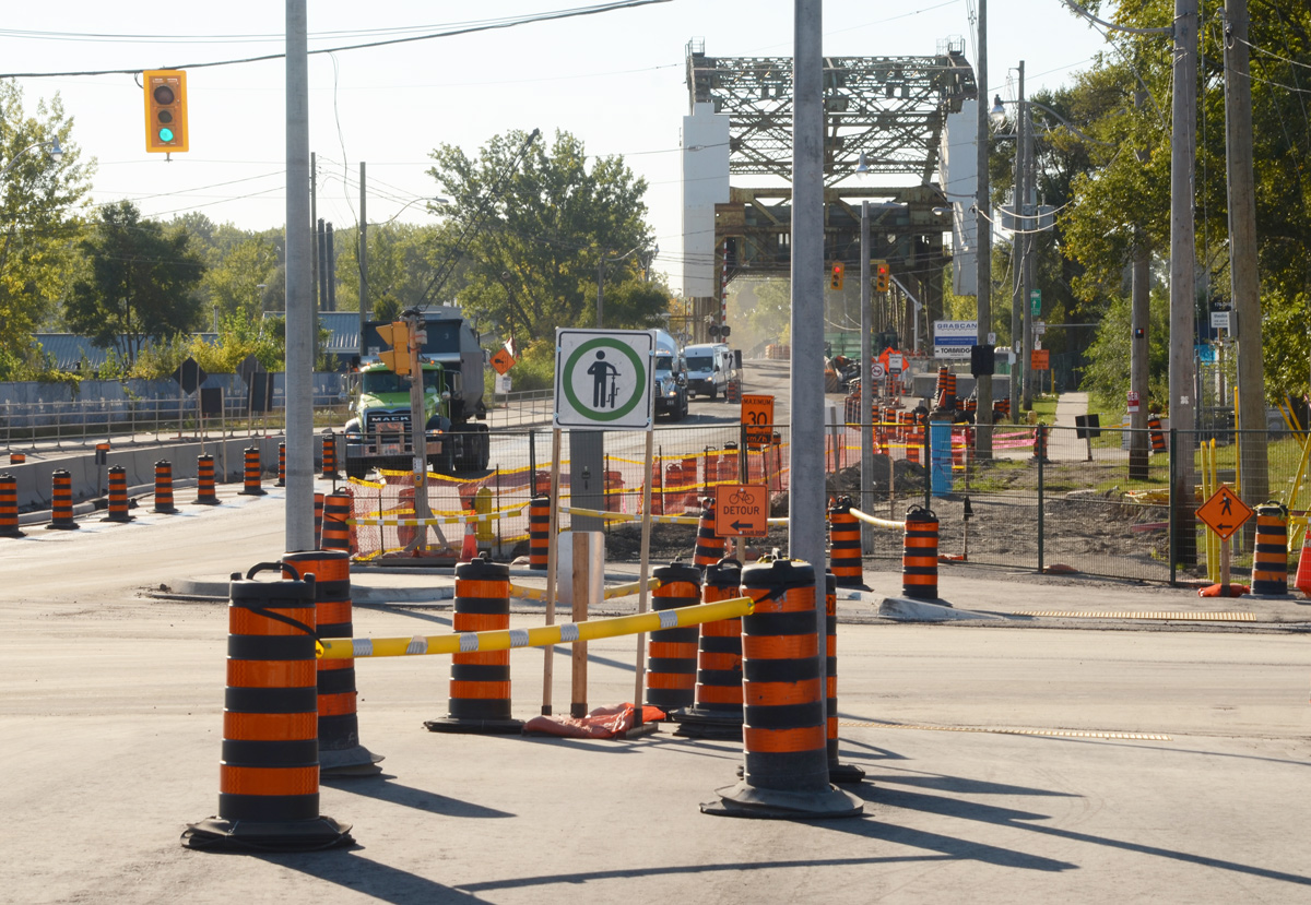
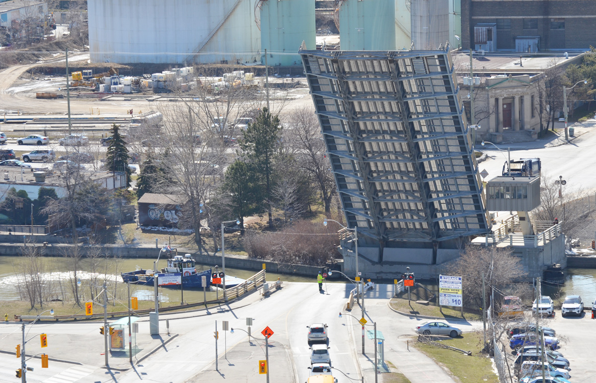
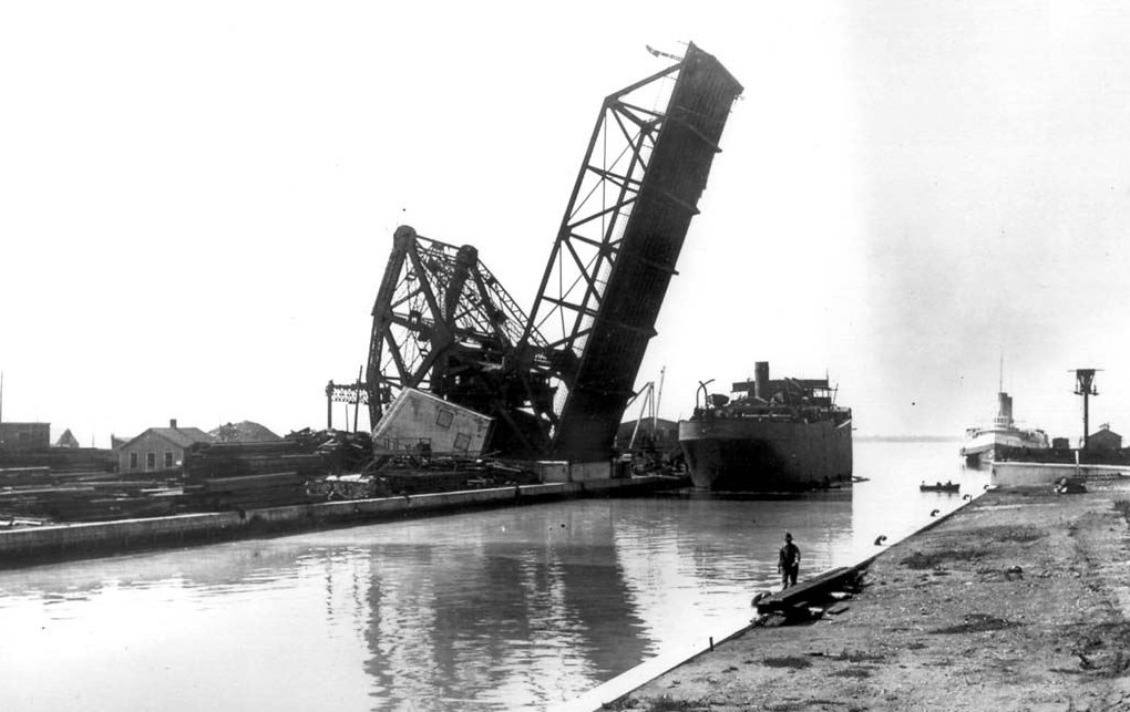
below: The Cherry Street bridge, a lift bridge, was broken in the open position for about a month at the end of the summer.  It was fixed in time for Labour Day weekend so it is down now (can it go back up?  It will soon be demolished so maybe that doesn’t matter)

view from above, Cherry street bridge in open position, port lands, cement silos, Lake Ontario, construction

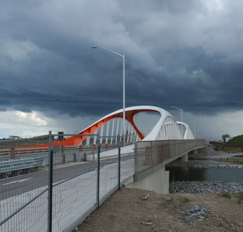
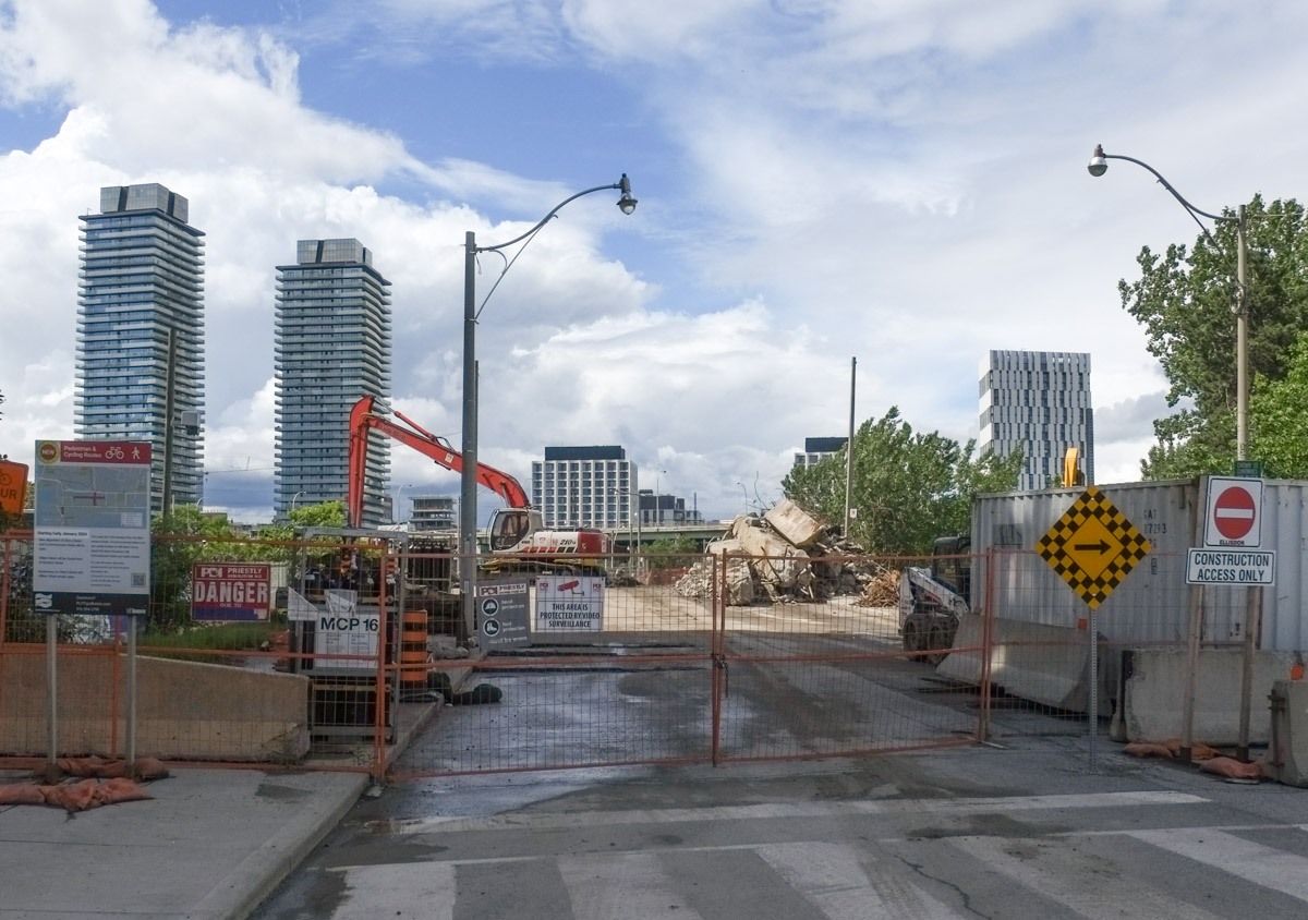
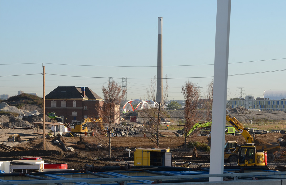
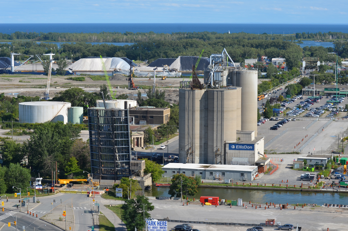
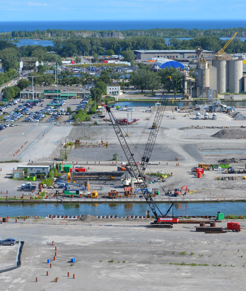
below:  From above, the Keating Channel is in the foreground and it is here that construction on a new Cherry Street bridge is just beginning.  This is west of the present bridge because Cherry Street is going to be straightened as it passes under the Gardiner.      There is another small channel behind the Keating Channel but it ends at the T&T store… for now.    Cherry Beach and Lake Ontario are in the background.

Port Lands from above, Keating Channel, beginning of construction of a new bridge at Cherry street,

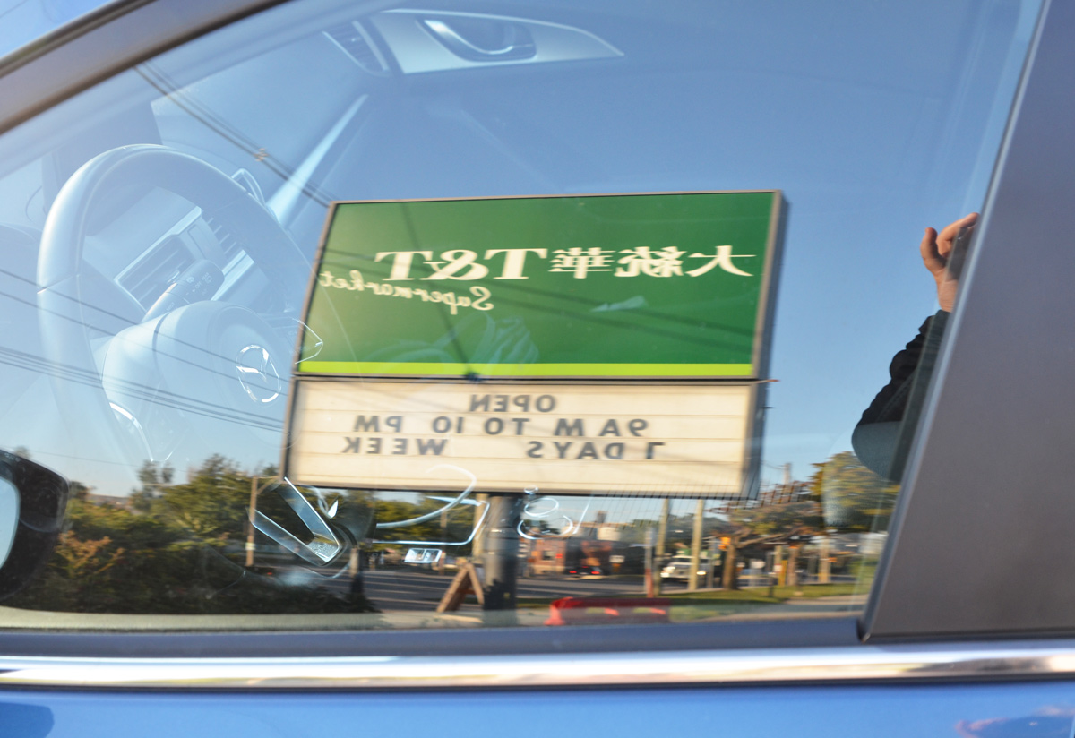
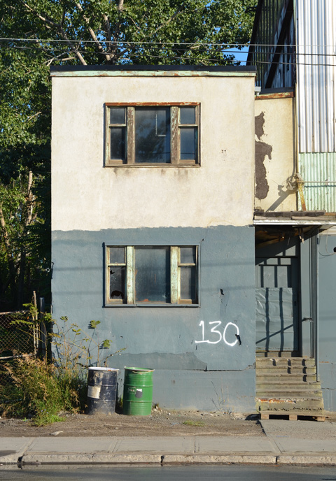
below: Reflections of the T&T sign.  Soon this store will be gone.  The path of one of the new waterways for the Don River goes right through the middle of their property to join with the channel that is already there (picture above).

reflections of the green T and T supermarket sign in a car window

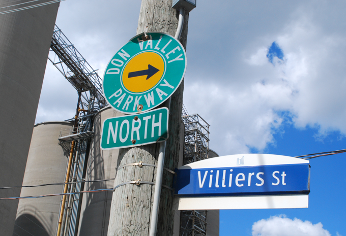
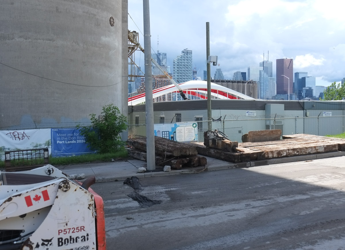
below: Villiers Street, looking west from the Don Roadway.   The new path of the Don River is going to make an island of this part of the Port Lands as it runs parallel to, and immediately west of, the Don Roadway.

railway crossing sign on Villiers Street in the PortLands, some remnants of train track still there bu no trains

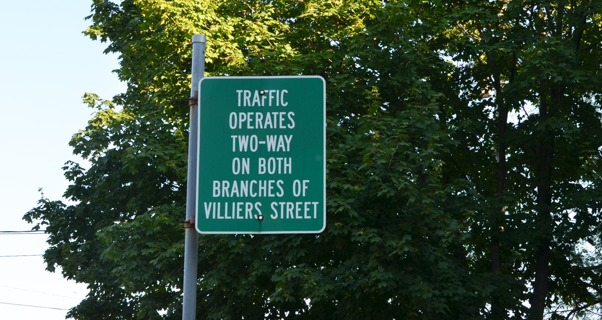
below: Villiers Street is actually two streets running parallel, both of which have two-way traffic.  This is left over from the days when the railway ran down the middle of the street.

green road sign that says Traffic operates two way on both branches of Villiers street

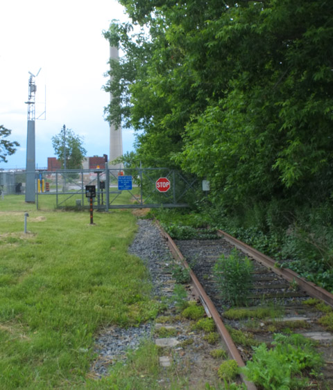
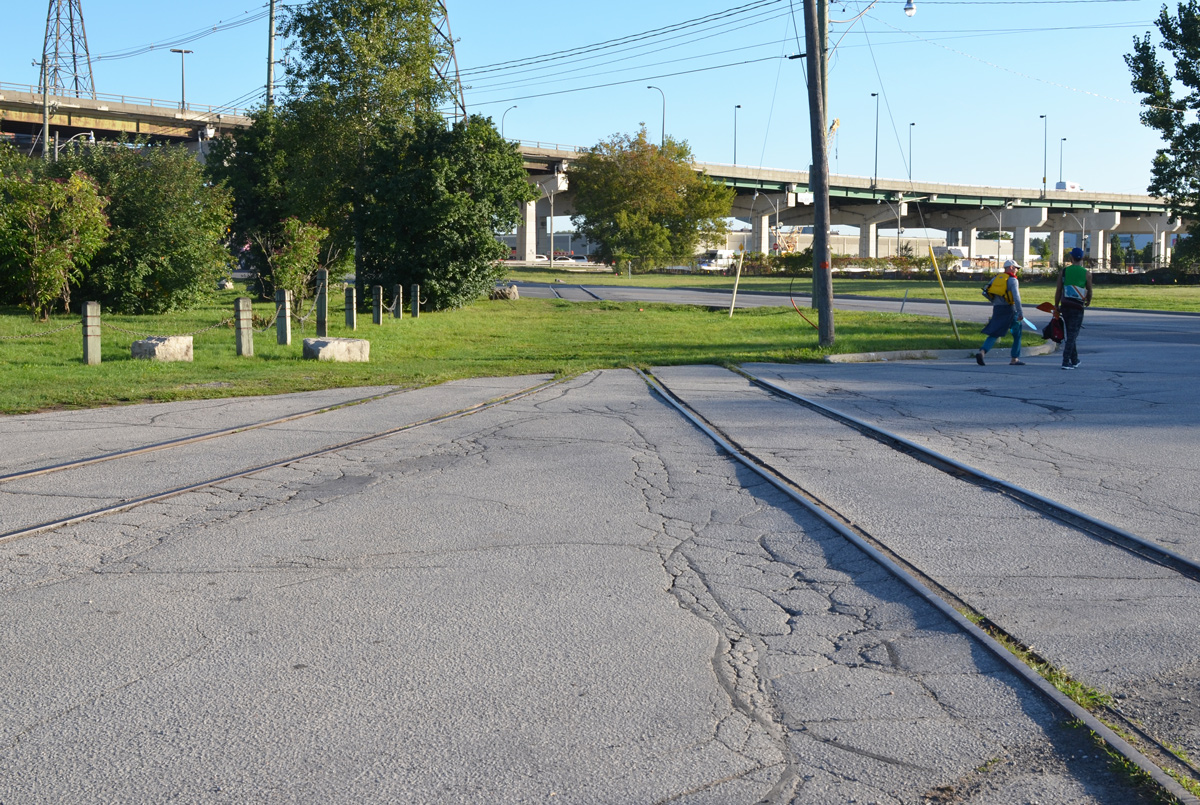
below: Remaining fragments of railway track can be found all over the Port Lands. This is Villiers Street at the Don Roadway. The Gardiner Expressway is in the background.

street with remnants of railway tracks on it

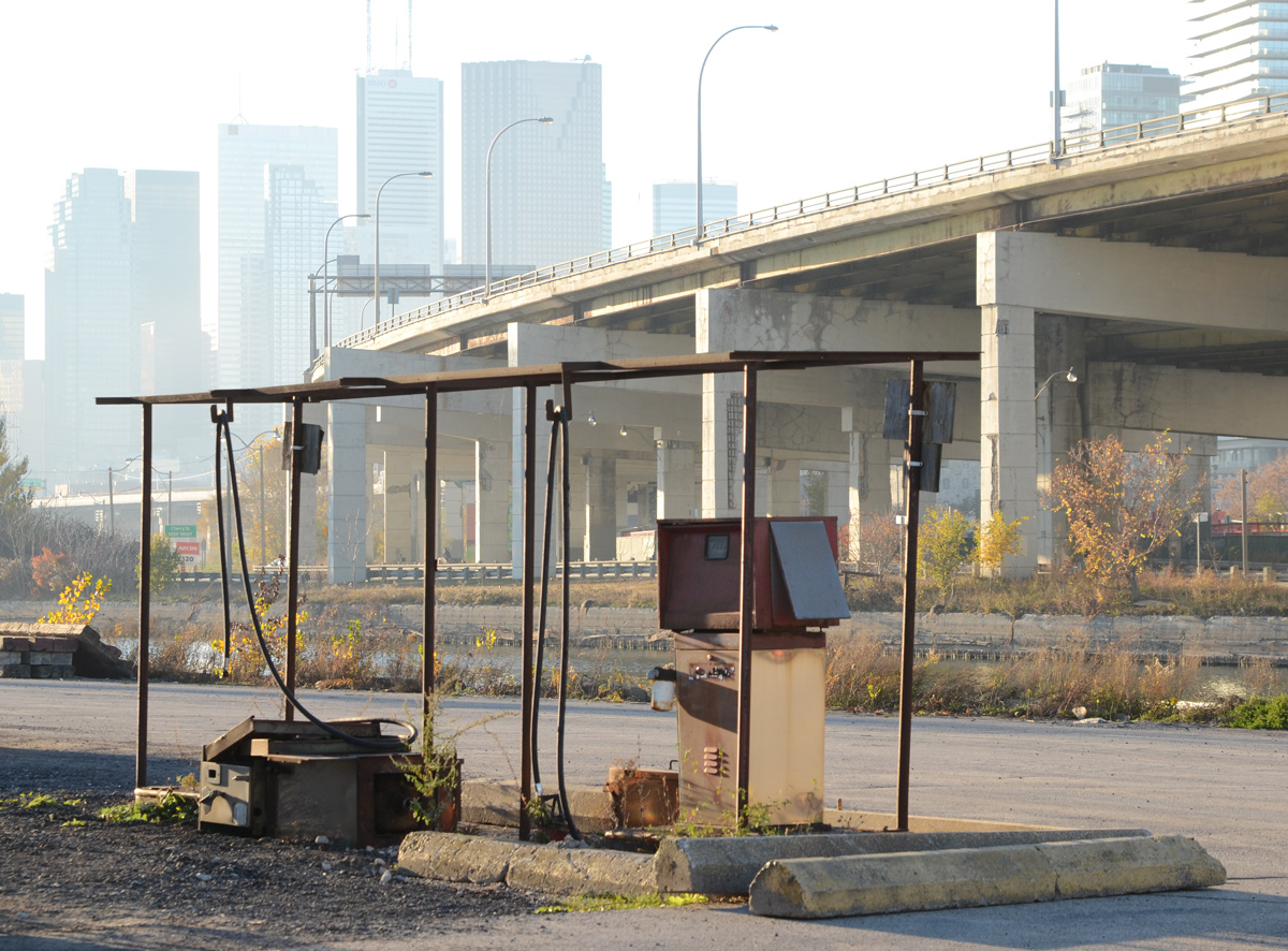
below: Old gas pump on Villiers.

rusty old gas pump

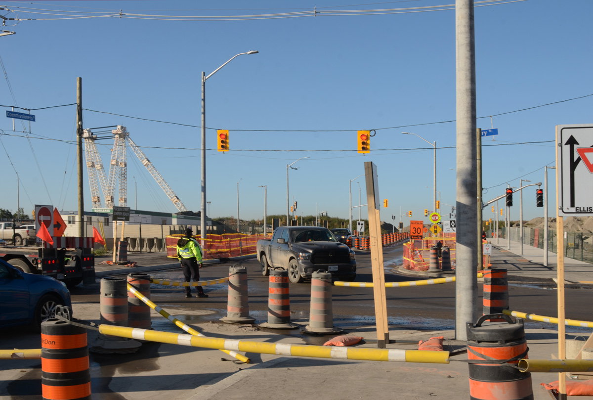
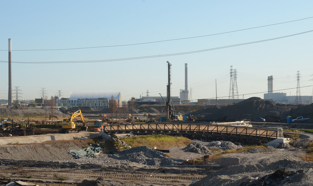
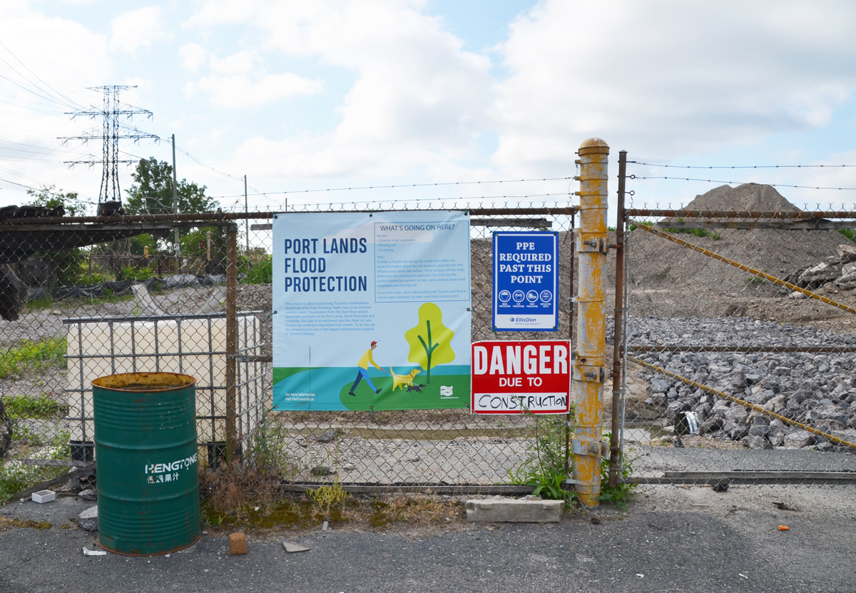
below: The northwest corner of Commissioners and the Don Roadway. The green mound is the beginnings of the flood protection work there. Flood protection means work on the re-routing of the mouth of the Don River.

the north west corner of Don Roadway and Commissioners Street

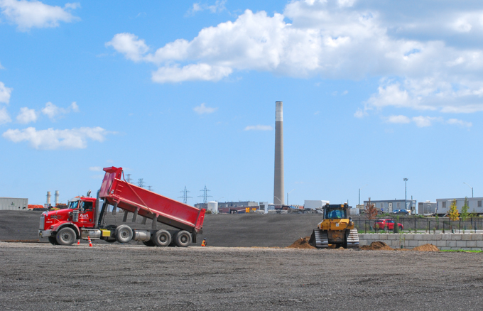
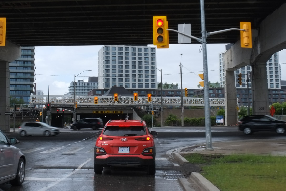
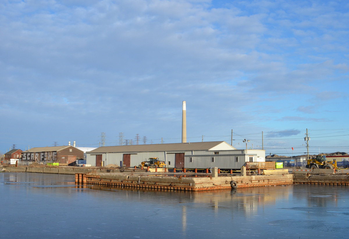
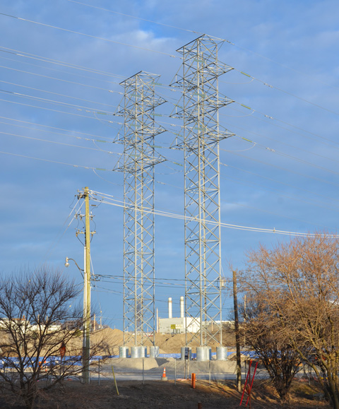
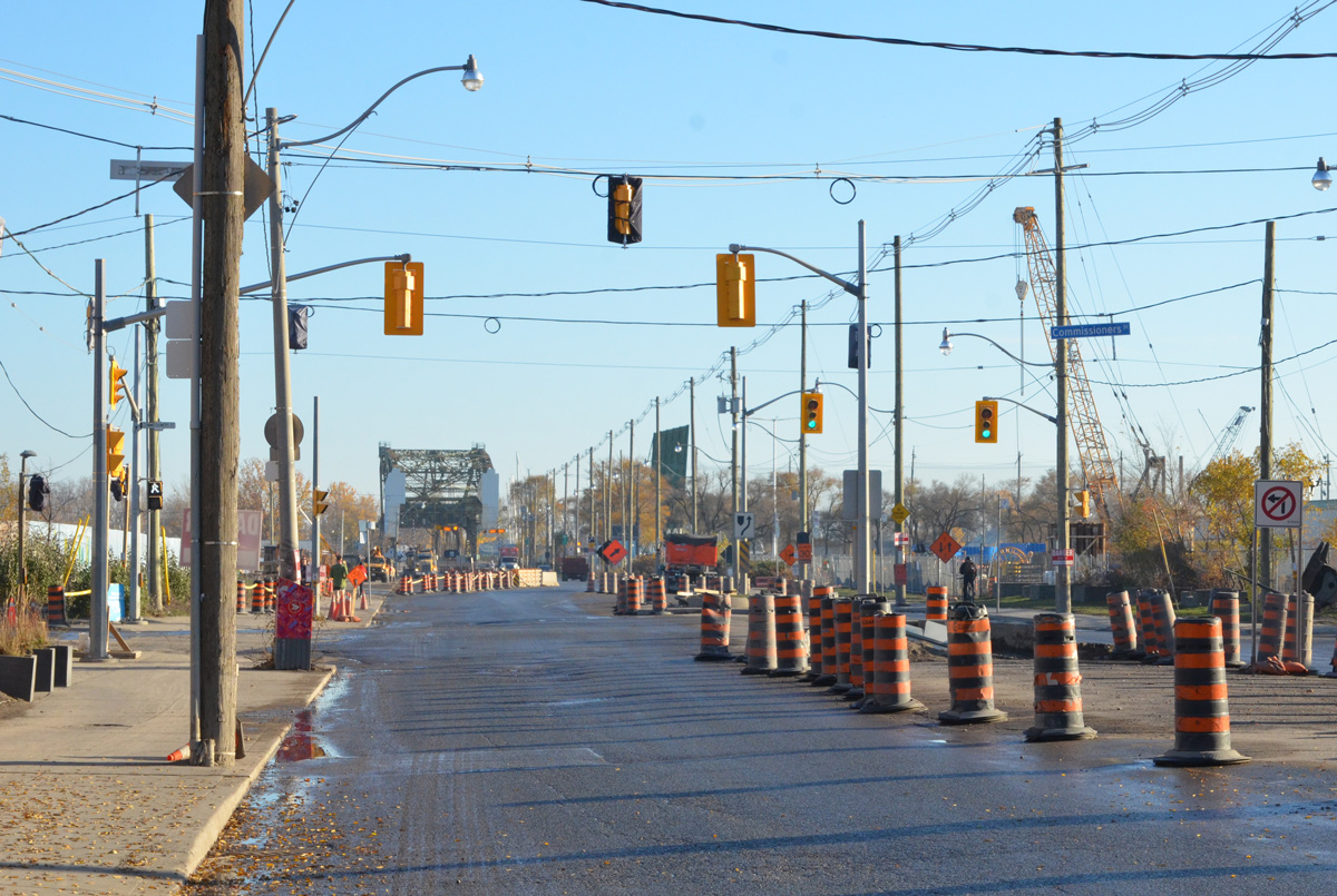
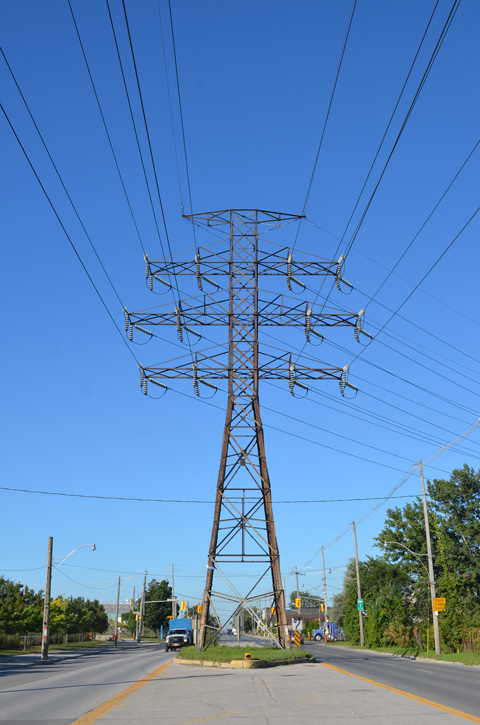
below: Looking west on Commissioners Street from east of the Don Roadway (at the traffic lights).  This is one of several large hydro structures that run from the Portlands Energy Centre (a natural gas burning electrical plant).   Hydro infrastructure changes are part of the Port Lands redevelopment.

a very tall metal hydro pole and structure above the street, Commissioners Street, Port Lands

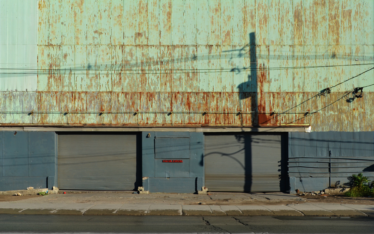
below: Work on the south side of Commissioners.

cranes, workers, construction site

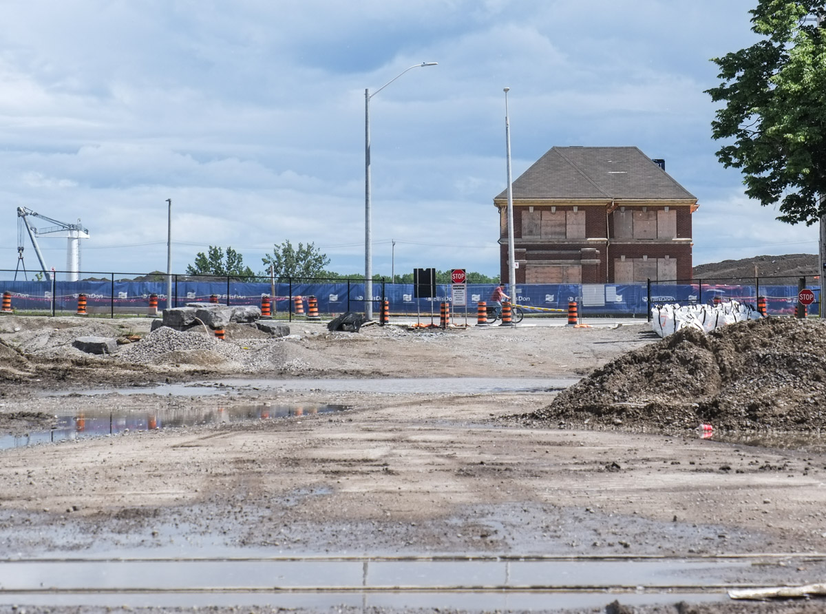
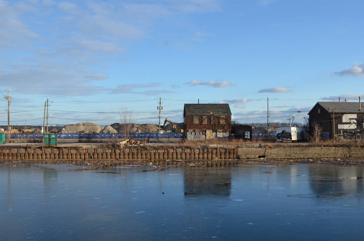
Soon Commissioners Street will be closed between the Don Roadway and Cherry Street.  All of the buildings there will be demolished.  At the moment, most of them are empty.

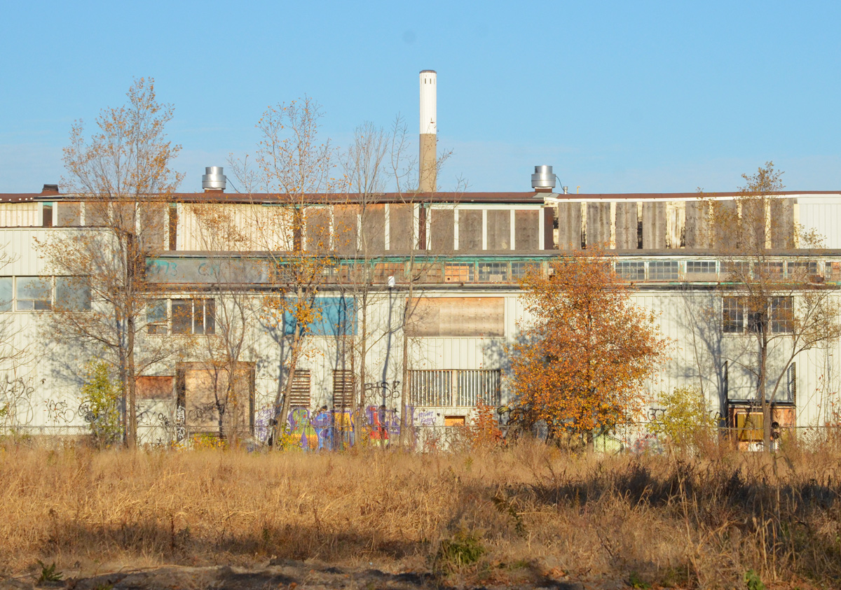
below:  Old abandoned buildings on Commissioners

old buildings on Villiers Street, with CN Tower in the background

part of an empty and abandoned building, two storeys, old windows, the number 130 written in large white numbers

side of an old abandoned building, top part is rusted pale green metal, bottom is painted dark grey

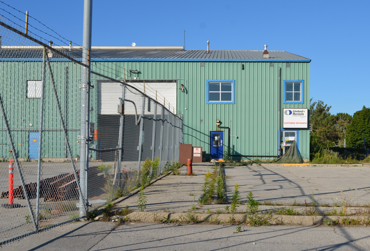
below: United Rentals on Commissioners Street, now empty. Soon gone.

empty United Rentals building in the Port Lands

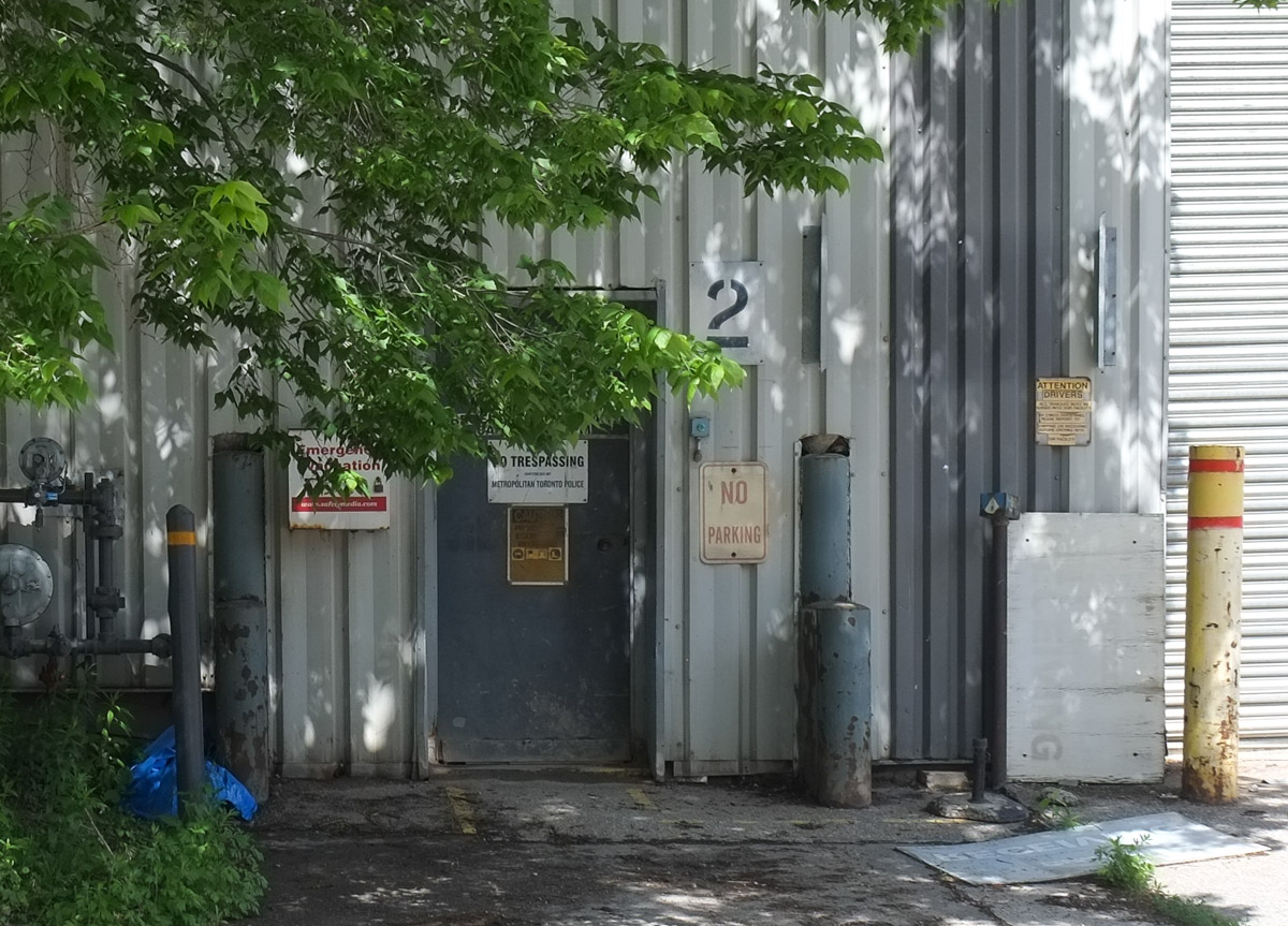
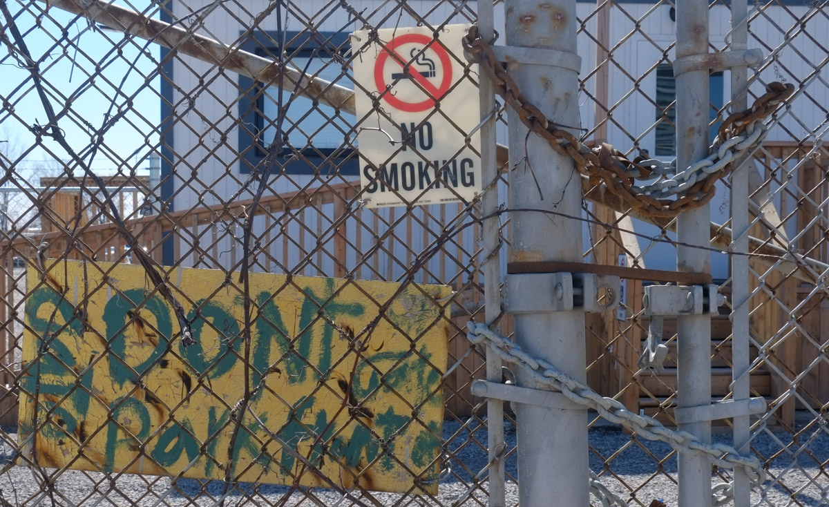
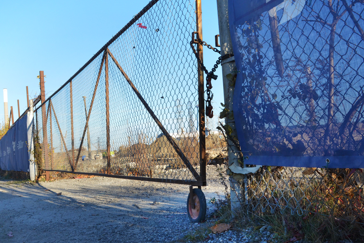
below: Chained and locked.

a rusty chain and a padlock keep a gate closed

old brick building

construction on flood control measures in the Port Lands

below: North side of Commissioners, east of the Don Roadway. You can see the Gardiner Expressway and the old Lever Brothers factory.

a plant grows up agains a chain link fence, pile of dirt and industrial buildings behind the fence

a red and white danger due to sign that someone has written radioactive signs on so sign says danger due to radioactive signs

below: South end of the Don Roadway.

very south end of Don Roadway, south of Commissioners street, dead end, dirt road, no trespassing construction site entry

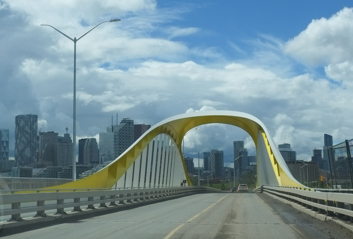
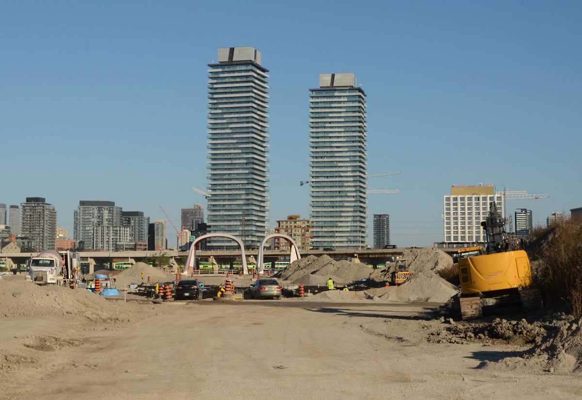
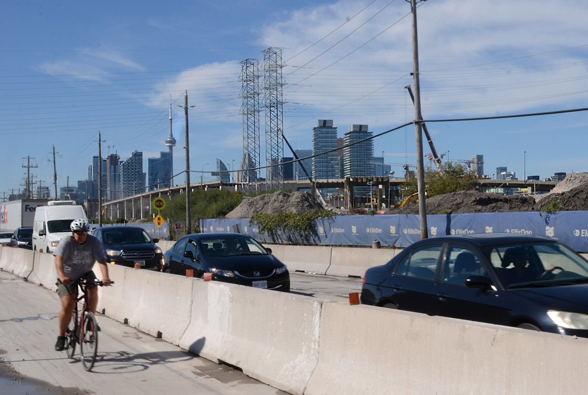
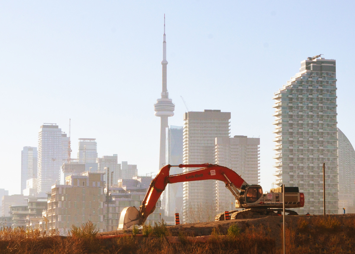
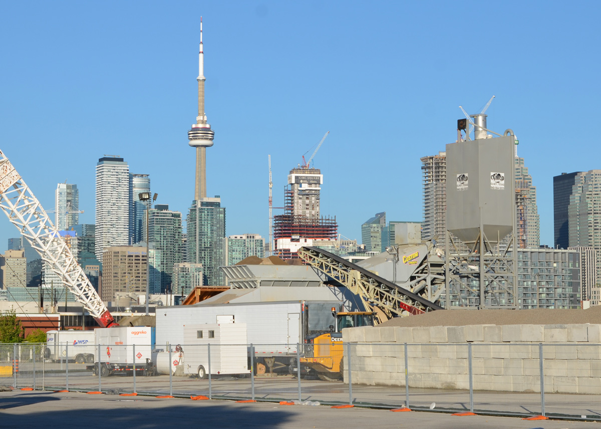
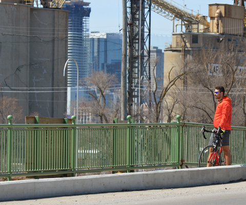
below: Looking west towards downtown from the Don Roadway

view of Toronto skyline and CN tower from Don Roadway

fence with signs, danger due to sign, plus sign that says Port Lands Flood Protection

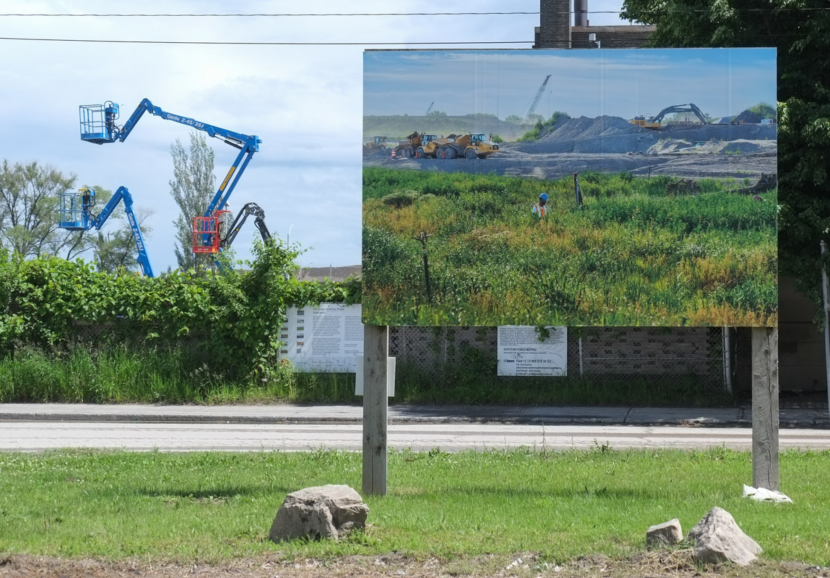
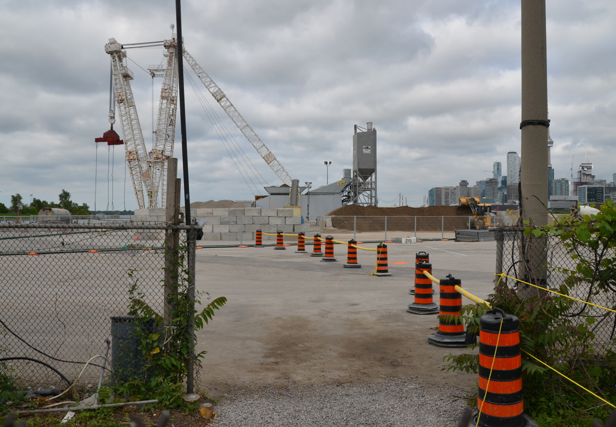
below:  Back in July the demolition of the GFL (Green For life) buildings was well underway.

the last part of GFL (Green For life) structure to be torn down in the Port Lands, cement truck, dirt road, vacant land

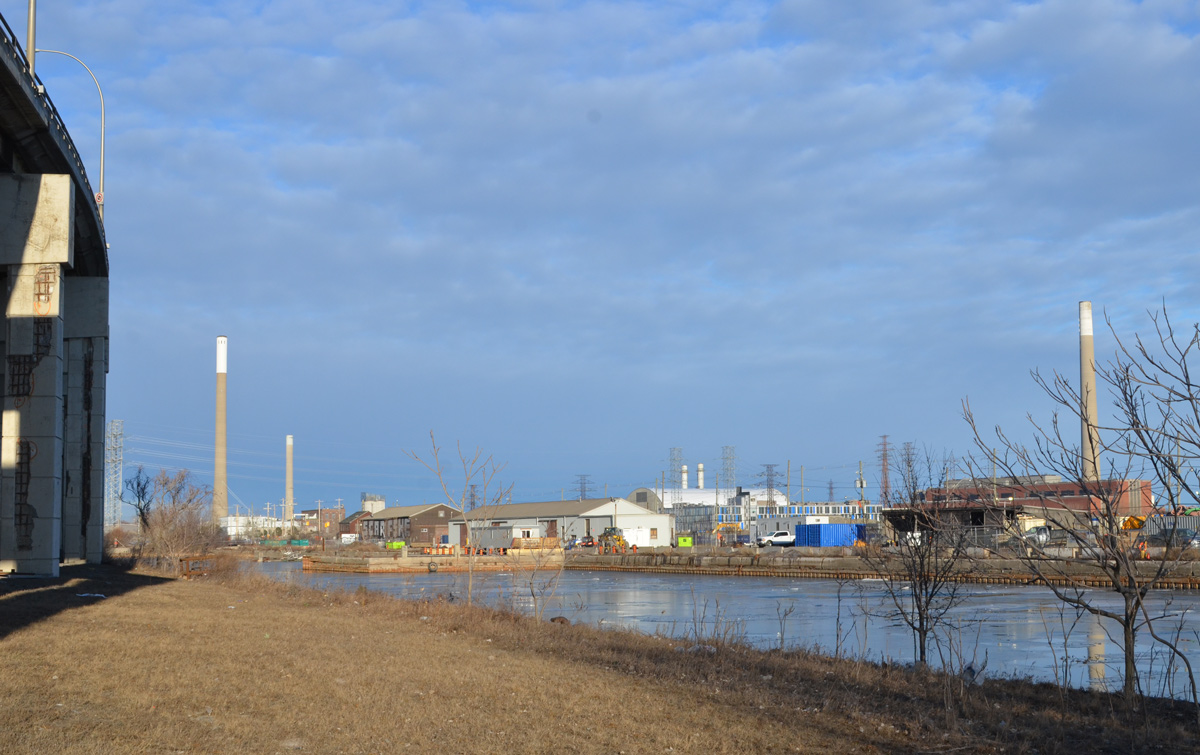
below: This is the GFL recycling transfer station during the demolition process.  At the same time, the shoreline was being reconfigured and “naturalized”.  The trees in the water in the foreground have since died but this is part of the plan – they are to become part of a new fish and wildlife habitat.

west end of portlands early on in the redevelopment process, partially demolished building, barge in water creating new land, reconfiguring the shoreline

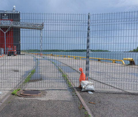
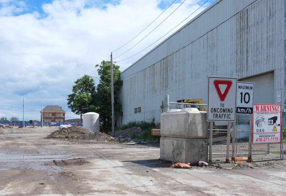
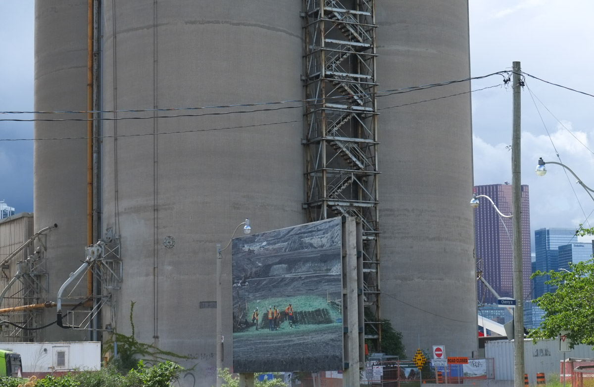
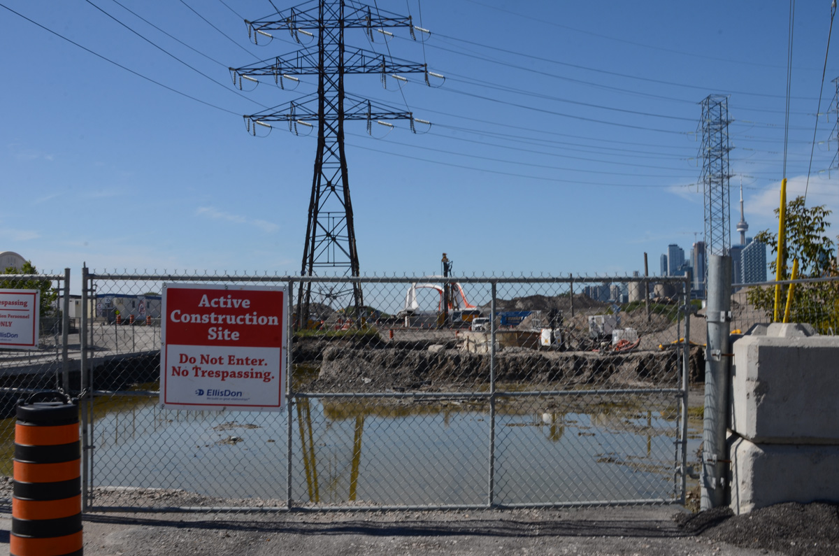
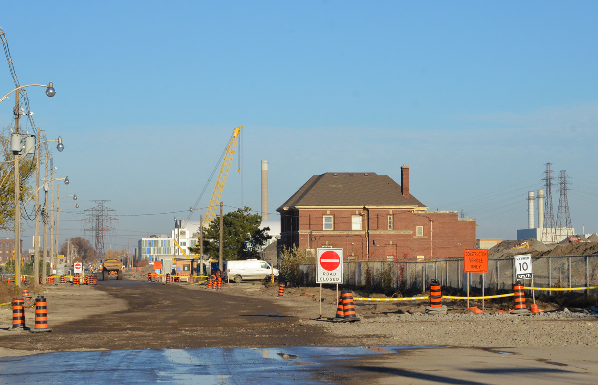
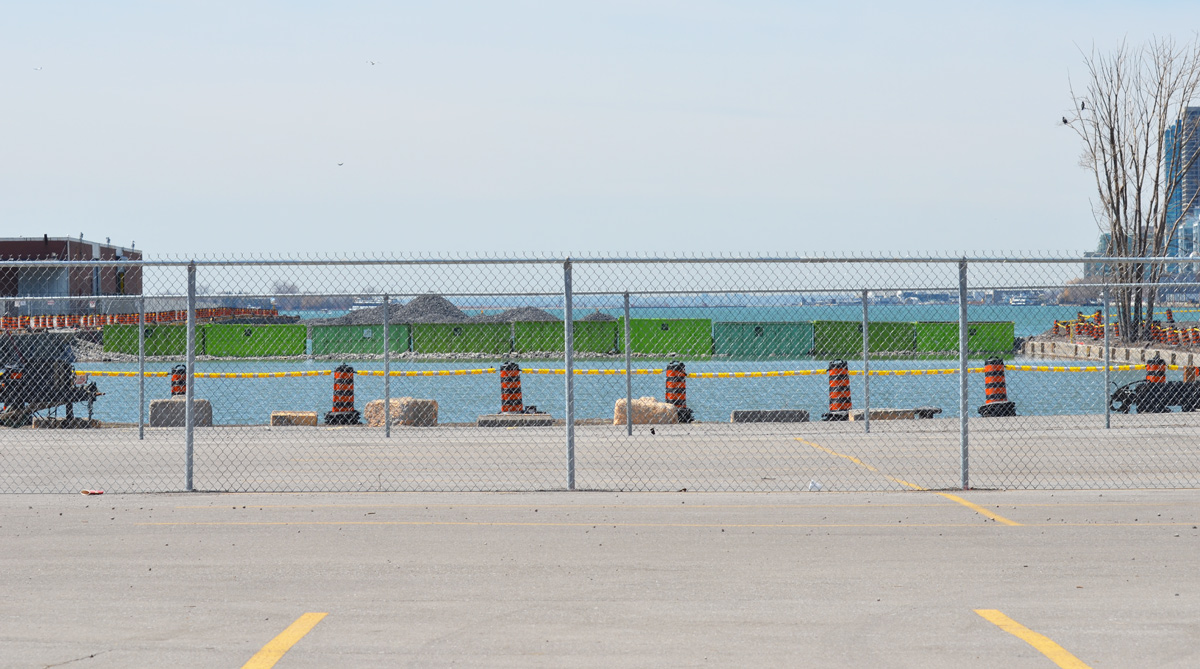
below: Access to the northwestern part of the Port Lands has been very limited.  Cherry Street and the T&T parking lot are as far as you can go … if you obey all the signs.    (photo from July)

black and orange cones line the route of entry to cement making facility in the Port lands

below: September

CN Tower and Toronto skyline from Cherry street, T and T market parking lot

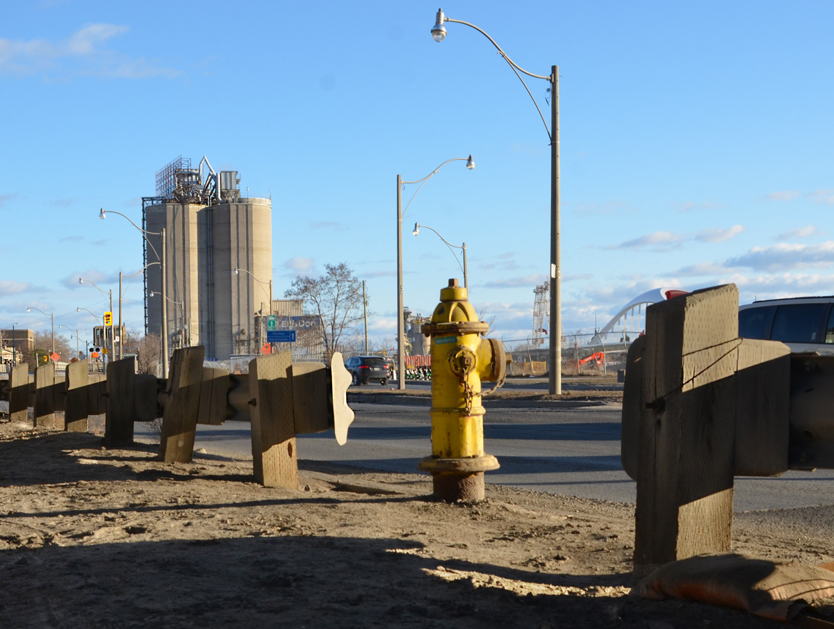
below: The sea gulls have the parking lot to themselves, between Lafarge and the lake at the west end of the Port Lands.  There are no plans (that I can find) to remove or relocate Lafarge.

lots of sea gulls sitting on a parking lot behind Lafarge cement silos in the Port Lands

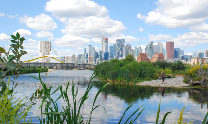
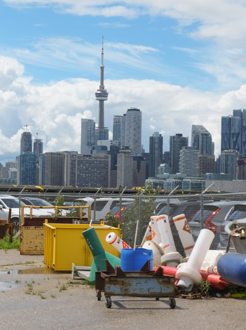
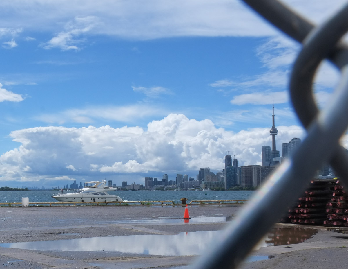
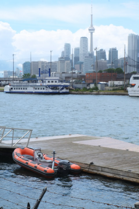
below: If you stand looking at the view above, and then turn around, you get the image below. Polson Pier view of the Toronto skyline.

view of Toronto skyline across Toronto Harbour from Polson Pier

a path leads to a fence, construction site behind the fence, including a cement truck

torn and shredded black fabric caught on a barbed wire fence

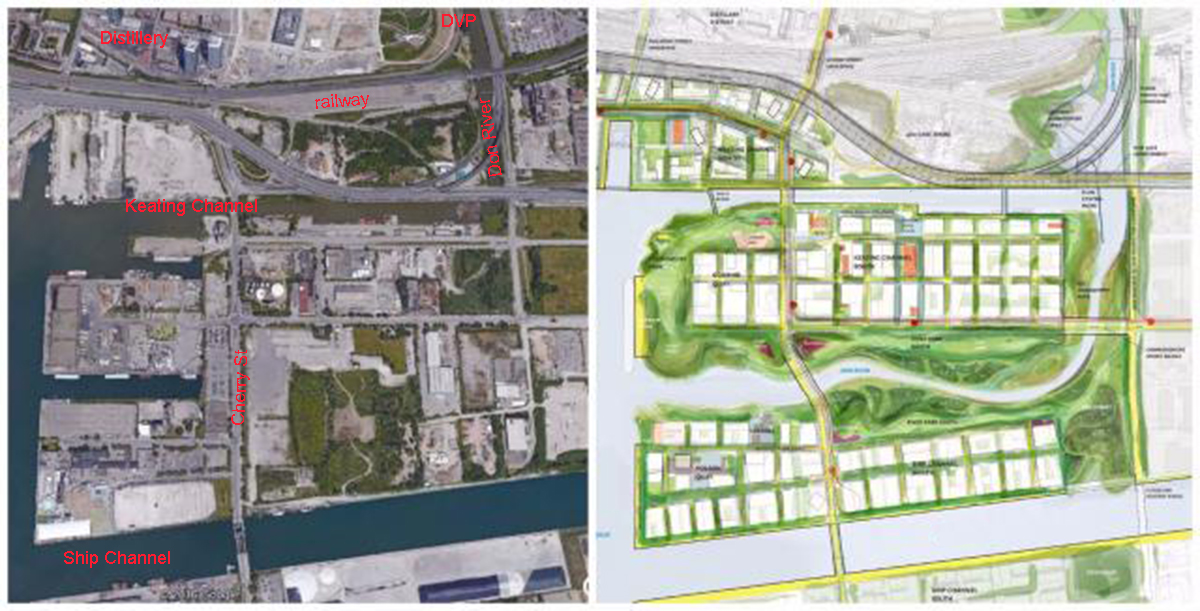
below: Map of the area.  As you can see, I have only covered a small part of the Port Lands.  There is so much more to explore!

map of the Port lands area

a lot of masts from sailboats standing upright, a man walks on one of the boats as he gets it ready to go back in the water after the winter

Getting ready for spring. RCYC (Royal Canadian Yacht Club) is nearby.

There are a few changes happening down at the Port Lands.

a man in orange stands beside his bike on the side of a road, sity in the background

below: Aerial view of the present configuration of the Keating Channel, Don River, and part of the port lands beside a drawing of the planned changes.  Rerouting the Don River will create an island, Villiers Island.

two maps side by side, one is an aerial photo of the port lands and the other is a drawing of the new route of the Don River through the port lands and the planned changes to the area.

In the 1880s, the lower part of the Don south of the former Winchester St. bridge (just north of Gerrard St) was straightened and the mouth of the river was placed in a channel to create additional harbour space and industrial dock space for boats in what is known as the Port Lands.   This project was called the Don Improvement Project. The Don River now empties into the inner harbour through the Keating Channel.  Lakeshore Blvd passes over the very south end of the river and because of its height (very low), boats can not enter the Don River.   Boats may still enter the Keating Channel by going underneath a lift bridge at Cherry St.   The straightening of the Lower Don also allowed for construction of the railway line parallel to it.


below: The cars are parked on vacant land between Lakeshore Blvd and Lake Ontario/Keating Channel. Mounds of gravel have been dumped off the end of Essroc Quay and beside Keating Channel. You might also have noticed the nine green bins that have been laid across the water (very left side of the photo). They too are full of gravel. These are part of the beginning of the renovations of the port lands. The Keating Channel will remain, but the area south of it is slated to be changed. In the middle is the GFL (garbage collection) transfer station. The low reddish brown building was a recycling facility. It was the site of a fire a few months back and most of the south end sustained substantial damage.

view from higher, over Keating channel, Essroc quay and towards Centre Island, Port lands in Toronto, mounds of gravel in the water, parked cars, boats in the water, light industrical development, trees,

Access to the western portion of the port lands is via the Cherry Street bridge.

bridge with traffic lights in the background.

below:  Here it is being lifted to allow a boat to pass through the Keating Channel.   This bridge was built in 1968 and is at least the fourth bridge at this location.

lift bridge is up so a boat can pass under

below: In 1900 a wood swing bridge was built with just a single railway track that was operated by the Grand Trunk Railway.  There are still remnants of the tracks that serviced the industries located in the area.

vintage photo, black and white, 1910 of wood swing bridge in open position, some boats around, Keating Channel, Cherry Street, Toronto,

below: Two steel drawbridges were subsequently built here, one in 1912 and one in 1932. This is a circa 1915 photo of the lift bridge at Cherry Street.

photo from the Toronto Archives of the liftbridge at Cherry Street, open position, black and white photo taken about 1915, found on Wikipedia.

source: Originally from the Toronto Archives Fonds 1244, Item 1482 but found on Wikipedia

The plans for the redevelopment of this area show that the south end of Cherry Street will be moved to west of its present location – the jog in Cherry where it joins the Lakeshore for a short distance will be eliminated.

below: This is a close up shot of Essroc Quay at approximately the new location of the new Cherry Street bridge.  The Keating Channel is in the foreground.  This quay, and the water channel behind it, will be turned into wetlands and parkland.  Essroc is a landfilled pier and is publicly owned as is Cousins Quay (the one behind it with the GFL transfer station).

 a mobile crane on tractor wheels, green body, is helping dig a hole in the ground on a flat piece of land that has water on two sides. lots of orange and black construction cones around the piece of land

below: A new fence too.

behind a chain link fence, a line of green dumpster bins, laid end to end, stretch across a channel in Lake Ontario,

below: Looking across Essroc Quay to the Toronto skyline

view of Toronto skyline and CN Tower from the Port Lands, with construction for the new Cherry street realignment, and flood plain protection plan in the foreground.

There are many reasons for rerouting the Don River.   The Port Lands are no longer used by many industries, land use has changed.  As the city grows and changes, this area has become prime real estate but it is also a flood plain.  Before any development can occur, flood control measures need to be taken.    The Cherry Street Stormwater and Lakefilling project will stabilize the local shoreline, protect land from flooding, and create a new landmass to begin the re-naturalization of the Don River’s mouth.   The river would be re-routed through the middle of the Lower Don Lands between the Keating Channel and the Ship Channel. The area being filled will become part of ‘Promontory Park’, a new major green space across the harbour from Toronto’s skyline.

The project will also allow for a realignment of Cherry Street so that it no longer merges with Lakeshore for a short distance.  At the moment, the Cherry street and Lakeshore Blvd intersection is problematic, especially for pedestrians. Once upon a time there wasn’t much reason for people to walk there I guess. Now, if you are on the wrong side (the west side) of Cherry street, you get stranded at Lakeshore.

two people standing on a sidewalk as they try to figure out how to cross the street, two large billboards behind them, train tracks (elevated) behind that.

The Keating Channel isn’t exactly beautiful.  Lakeshore Blvd and the Gardiner Expressway run along the north shore of the channel.  There has been discussion & debate about the fate of these roads but so far nothing has changed.  Will they demolish this section of the elevated Gardiner?  Or won’t they? (Probably not).

raised expressway road on concrete pillars, runs above another road and beside a channel of water, CH tower and downtown Toronto in the distance

below: The very south end of the Don River at the moment.   Not much to get excited about is it?  It looks like there is work being done under the bridge?  (something’s happening there but I don’t know what).   Hopefully it will look better in a few years.

bridge over the Don River, grey, flotsam in the river,

The Ship Channel is south of the proposed changes described above.

ships docked

below: Piles of salt on the south side of Ship Channel. These arrive by ship.  The old Hearn Generating Station is in the background.

piles of salt on a dock, power generating station in the background.

small boats lined up along a dock, tugboat,

And south of it all, Cherry Beach.

woman sitting on a bench under large trees by a beach, two dogs running towards the beach, some people standing by Lake Ontario

two sikh men in turbans stand on beach, early spring, wearing jackets and long pants.

More info on the Cherry Street Stormwater and Lakefilling project

women in pink tutus running in a half marathon

Run Like a Diva,
5 km run and a half marathon in the Port Lands.

below: Pink tutus were given to all those who registered to participate in the event.

two divas in their pink tutus near the start of the RunLike a Diva event on Cherry st in the Port Lands

1700 people ran the 5K event and almost as many (I think) ran the half marathon.

a group of women running on Cherry St in the Port Lands as part of the Run Like a Diva 5k run.

The original plan was to hold this event on the Toronto Islands but with this spring’s flooding, the run was moved to the mainland.   It was a charity event in support of Rethink Breast Cancer.

two women running together in the Run Like a Diva half marathon run, both are wearing pink tutus, they are connected with a piece of rubber that they are each holding on to. on the right is Diva Chelsea, bib number 1100.

two women wearing pink tutus in the Run Like a Diva half marathon . one of them is the Greatest Diva, bib number 1110

a groupd of women in the Run Like a Diva event, bib number 2794 in pigtails and bib number 2413 running beside her.

a black woman in sunglasses, head band, and pink tutu runs. Bib saya I am a Diva, and bib number 936

pink tshirts an dpink tutus, Run Like a Diva, runners running down Unwin street

a young woman, a spectator at a 5km run, holds a sign that says If Trump can run, so can you

below: It was great to see a few men joining the fun, complete with their pink outfits.

a man is dressed in pink for the Run Like a Diva event, pink wide brimmed hat, pink t-shirt and pink tights as well as pink tutu. Bright blue shoes.

a father and daughter, both in pink tutus run in a 5k race, Run Like a Diva, other runners in the background

two women smiling as they run in the Run Like a Diva half marathon. on the left is Diva Debbie, bib 808 and on the right is bib number 1266, Diva Sandy

running towards the finish line in a 5k and half marathon event

a couple, male and female, holding hands, both wearing pink tshirts and tutus as they participate in a 5 km run

below: Near the end of the event, participants were given pink boas and shiny tiaras to wear with their tutus.

two volunteers in bright yellow t-shirts hand out pink boas to race particpants as they come close to the finish line

divas in their pink, tutus, boas and tiaras

a young woman in a pink T-shirt, runner 3127, Eldiva, puts on her tiara and pink boa as she nears the end of the Run Like a Diva

a group of women running in the Run Like a Diva run, all in pink tutus and many in pink t-shirts, laughing and cheering as they come close to the finish line in their pink boas and tiaras

below: Coming to the end!

a group of runners comes to the end of a half marathon, a group of people are behind a fence watching them and encouraging them.

young man is picking up orange traffic cones and putting them into the back of a truck

#runlikeadiva | #divastoronto