The other day, later in the afternoon, I was driving along the Lakeshore when I noticed that perfect lighting on the south side of the Keating Channel. I’ve done blog posts about the Port Lands development but I hadn’t looked at it from the other side. A quick change of plans – a parking spot nearby and a walk along the Lakeshore. This is some of what I saw that day.
below: At the bottom of Cherry Street
below: At the corner of Cherry and Lakeshore.
below: Along the Lakeshore, looking south towards Port Lands at Cherry.
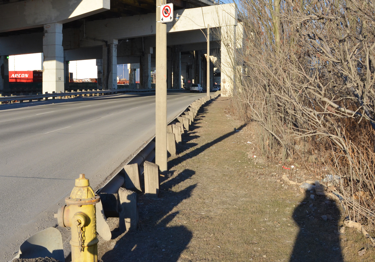
below: The Gardiner curves slightly northward as it aligns with the Keating Channel. Lakeshore Blvd takes a wider turn and comes out from under the Gardiner for a few brief moments before slipping back under as both roads parallel the channel.

below: On the south side of Lakeshore, there is no sidewalk here but the grassy area is wide enough…..
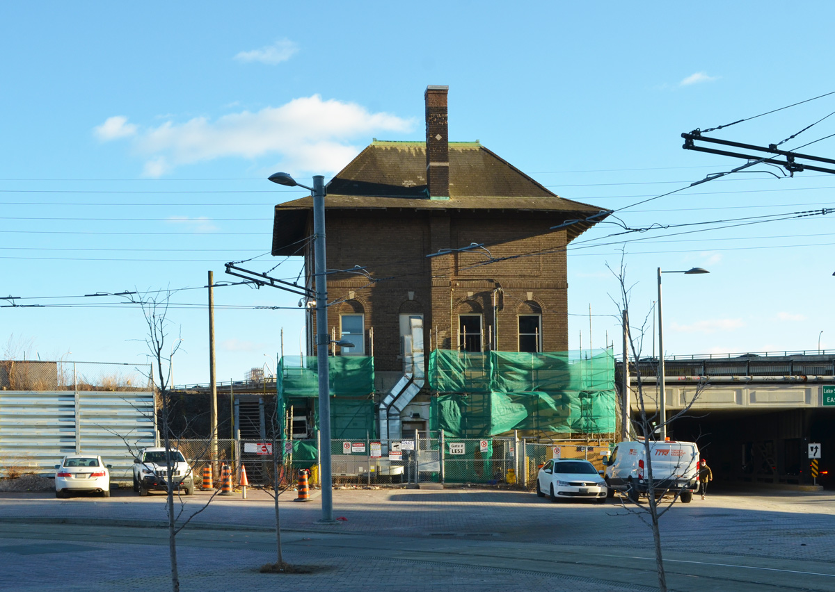
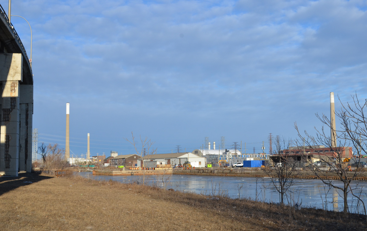
below: Walking here offers a different view of the Port Lands. The “smokestack” on the right is the old Hearn Generating station.
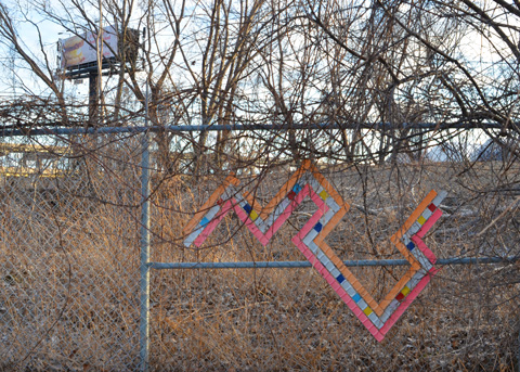
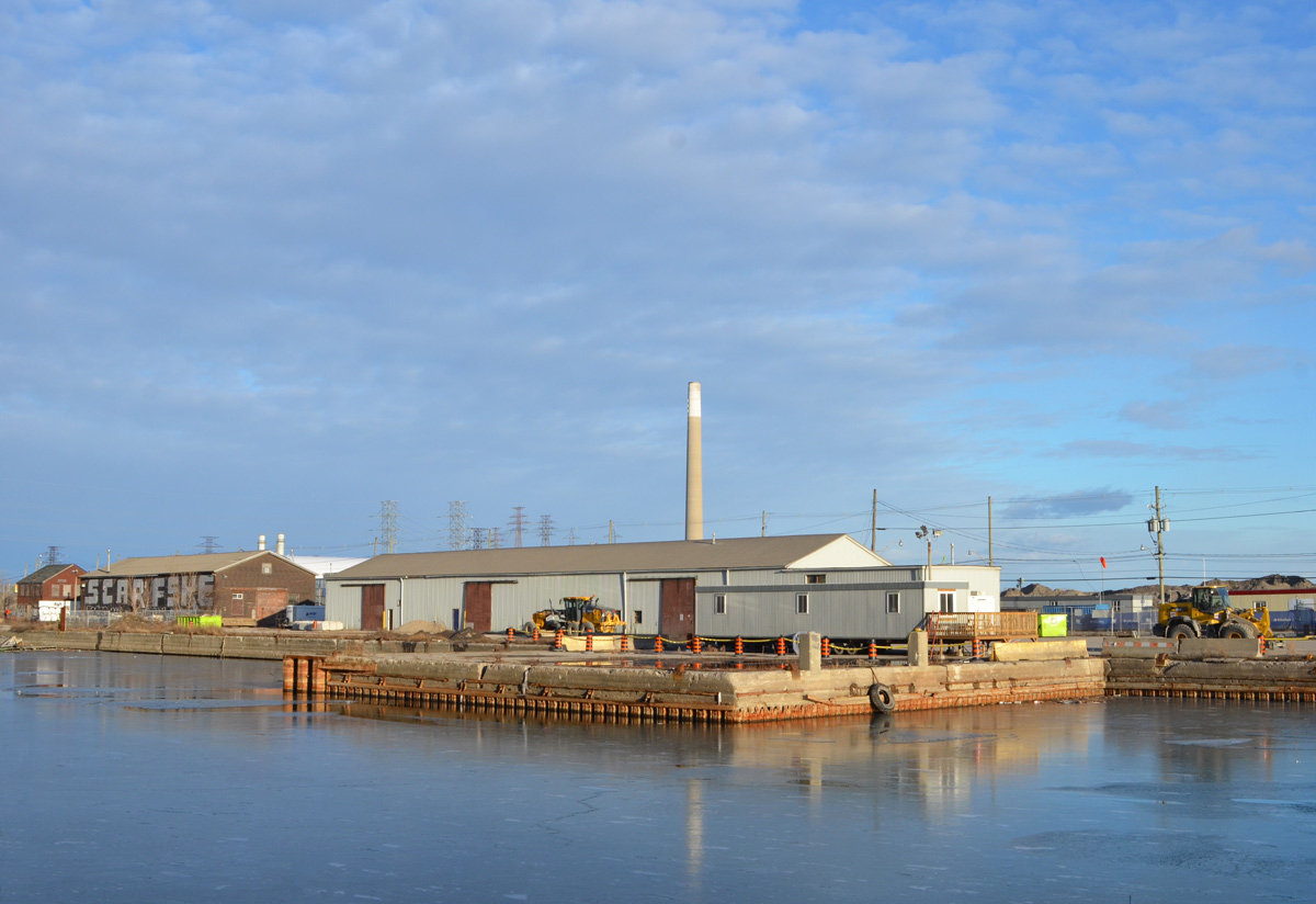
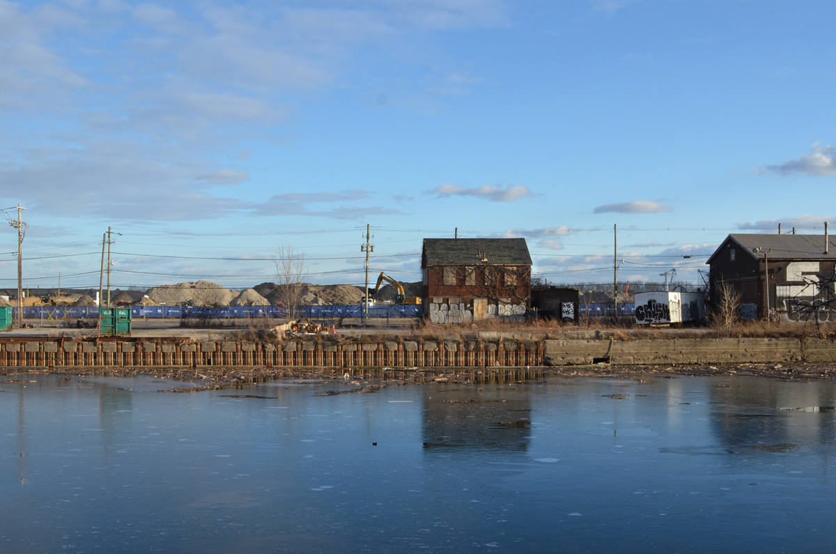
below: Some of the buildings that remain on Villiers Street.

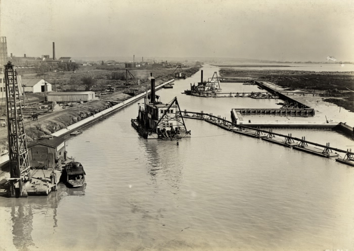
below: Panorama of Keating Channel being developed, 1916, before there was much on the Port Lands and Cherry Street was just a one lane dirt road.

below: Keating Channel, 1916
The original plan for the diversion of the Don River called for a more curved mouth of the river before it joined the Keating Channel. But the British American Oil Company who owned the land fought that idea. Instead, the 90 degree turn that still exists today was built to avoid crossing B/A property.
below: A few years after the channel was upgraded (1934)… From vacant land to a forest of BA oil tanks. There are railway tracks along the edge of the channel. From Wikipedia: “In 1908, with 8 shareholders, B/A built Canada’s third refinery on 3 acres on the eastern waterfront in Toronto. The company refined imported crude oil and its main product was kerosene; a then-useless by-product was gasoline, which was dumped into a swamp.”

Photo by Arthur Beales. Toronto Port Authority Archives, PC 1/1/10769. Found at Wikimedia Common
.
below: BA refinery with the Don River on the right, 1931. There were still storage tanks here in the 1960s when the city was building the Gardiner Expressway.

Photo source: Library and Archives Canada, online
.
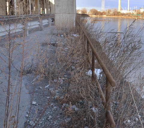
below: This rusty “fence” isn’t going to hold anyone or anything back. I had visions of tumbling into the icy channel if I went near it. I think that just looking at it made it wobble.
below: There are still places to tie up your boat
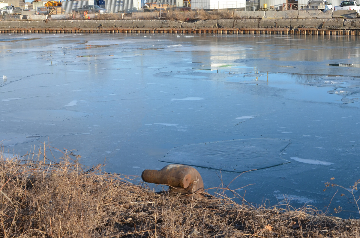
below: A big tap? It’s attached to a pipeline but is it functional? (It doesn’t look like it). There is a lot of infrastructure buried under the Lakeshore, sewer lines, water mains, electricals, etc., but this looks like a piece of history. Pleased correct me if I’m wrong! Also – if you plan to explore here, there are stretches where the only option is to walk right beside the road.

below: Likewise, the box structure is probably there to protect the rest – but what are they? Valves of some kind?

below: Looking north to Canary District and West Don Lands development. The oil tanks are long gone.

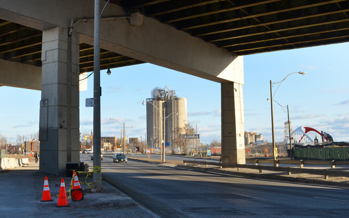
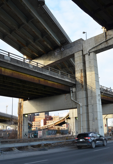
below: Looking up from Lakeshore, under both the Gardiner and the ramp from the DVP
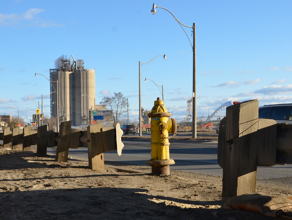
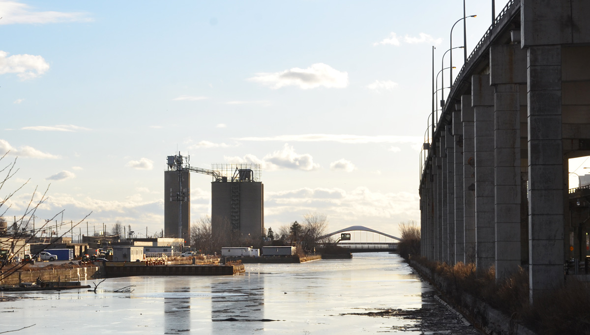
below: Looking west from Don Roadway along the Keating Channel to the new Cherry Street bridge.
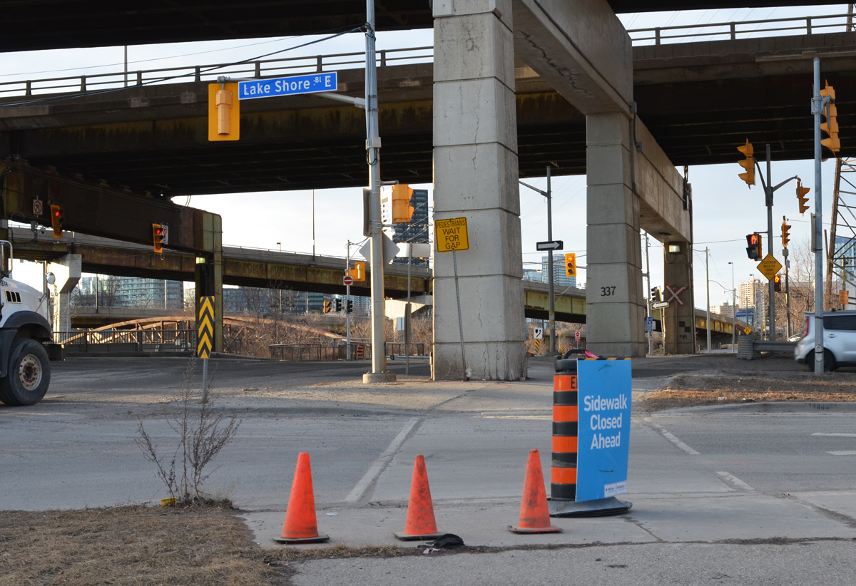
below: Intersection of Lakeshore and Don Roadway.
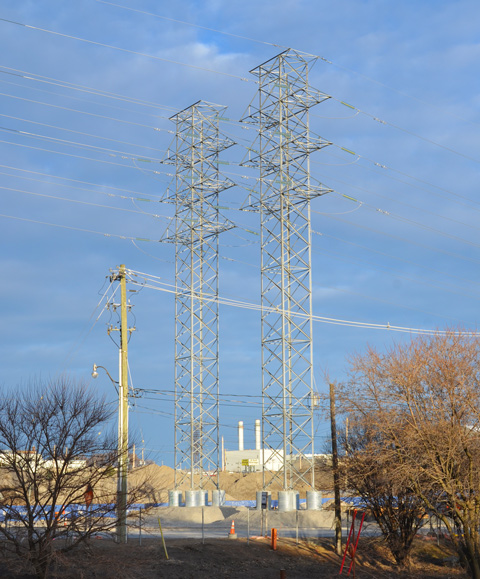
below: Two metal transmission towers standing side by side. Geometrical, straight lines, yet lace-like.
below: From the Don Roadway, northbound and homeward