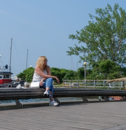
Hum dum dum ditty dum
Hum dum dum
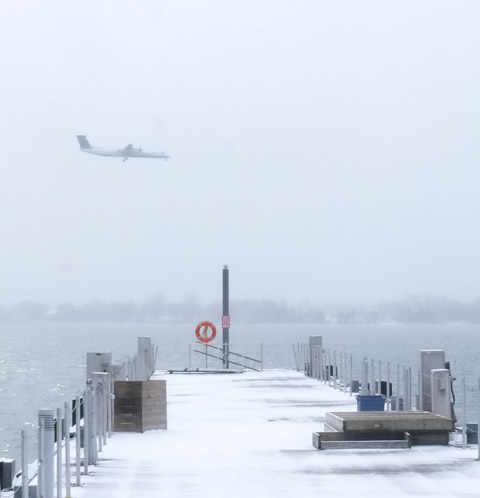
below: A Porter flight approaches the island airport

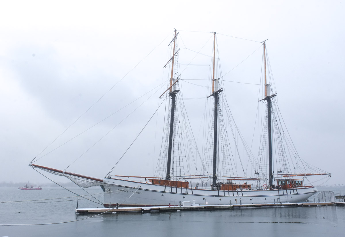
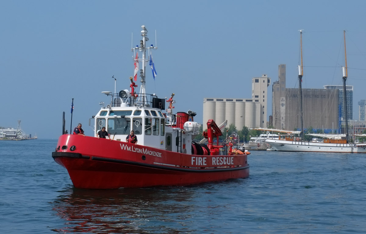
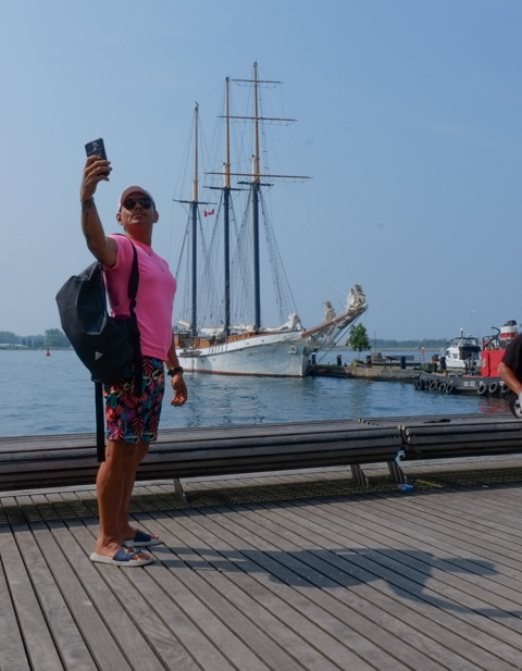
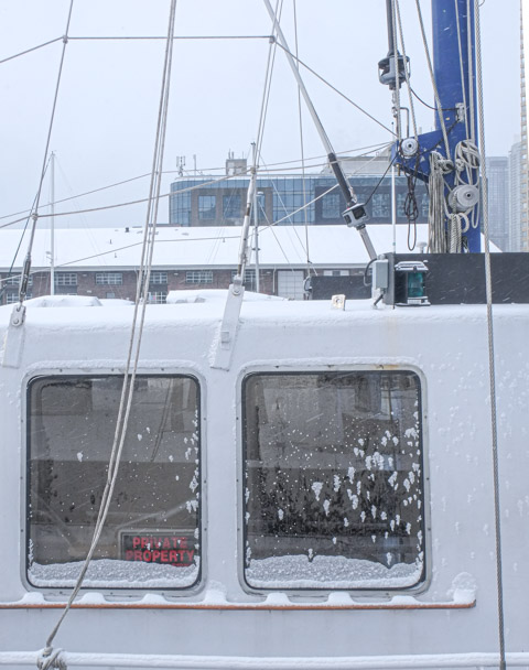
below: The Empire Sandy moored at the waterfront, with the Toronto fire boat in the distance.


“Oh the wind is lashing lustily
And the trees are thrashing thrustily
And the leaves are rustling gustily
So it’s rather safe to say
That it seems that it may turn out to be
Feels that it will undoubtedly
It looks like a rather blustery day, today”
as sung by Winnie the Pooh
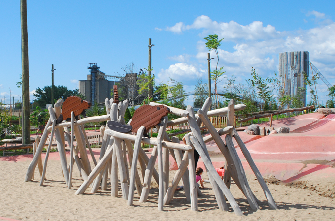
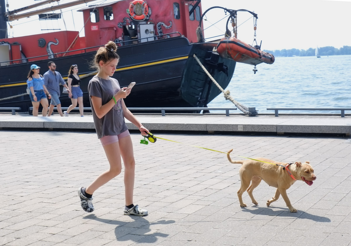
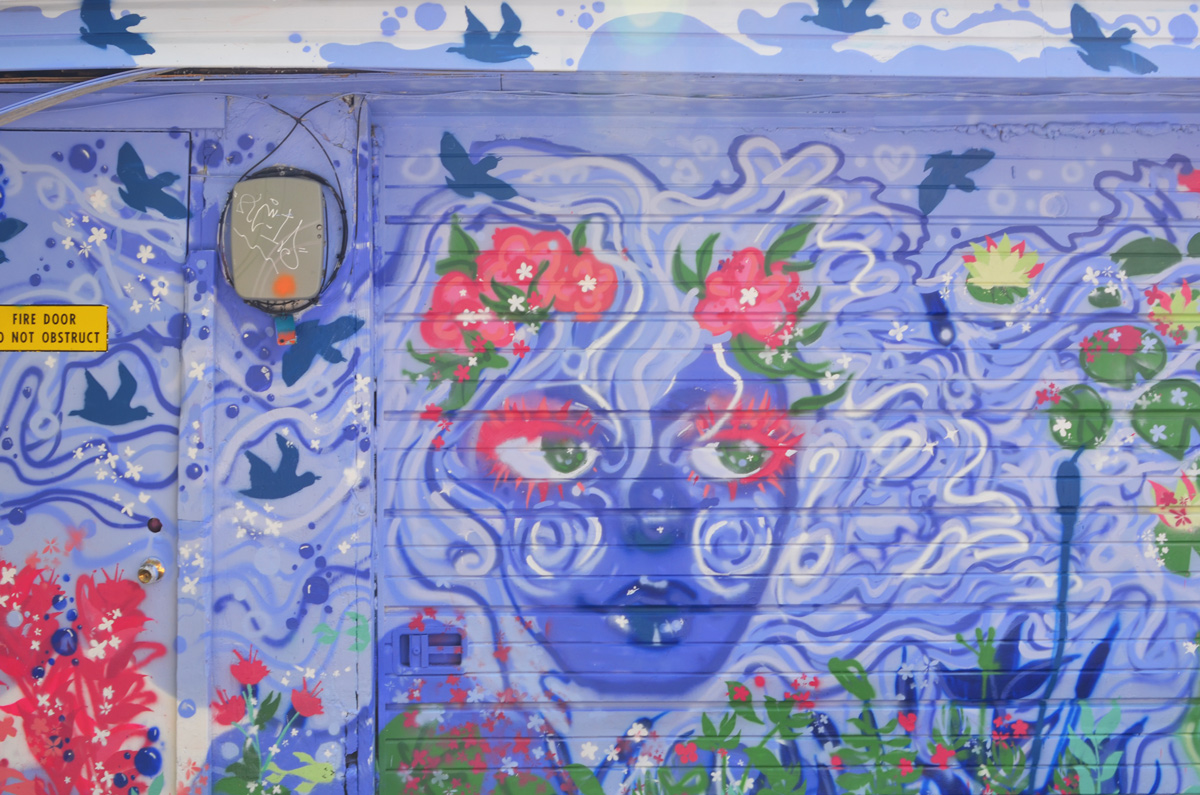
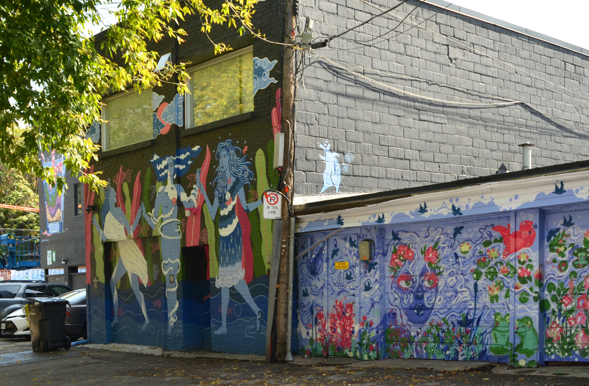
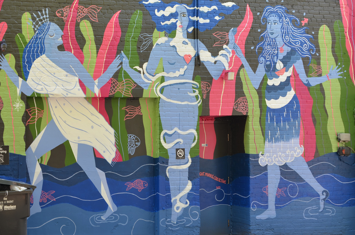
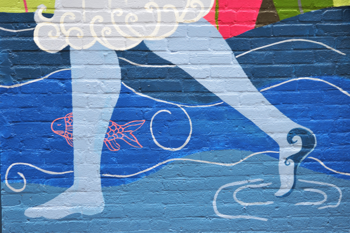
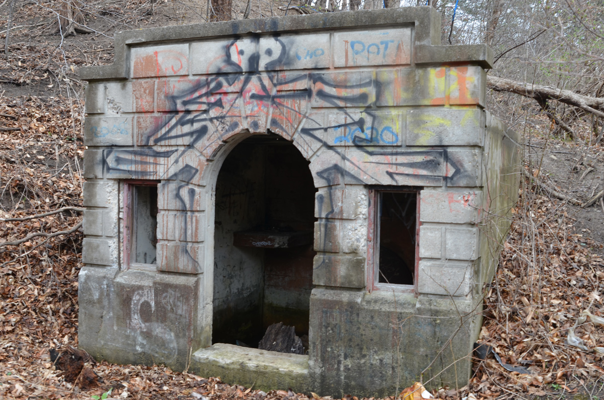
below: A kraken is taking over the boat!

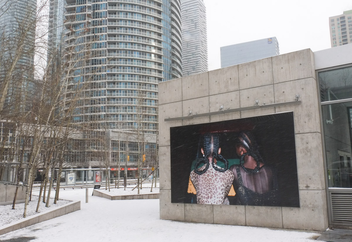
below: A large photograph, on the south wall of the Power Plant Contemporary Art Gallery is “These Times 2019” by Anique Jordan which has been on display since the CONTACT Photography Festival last spring.

below: “Kuumba”, Photography by Stephen Tayo is on display outside at Harbourfront


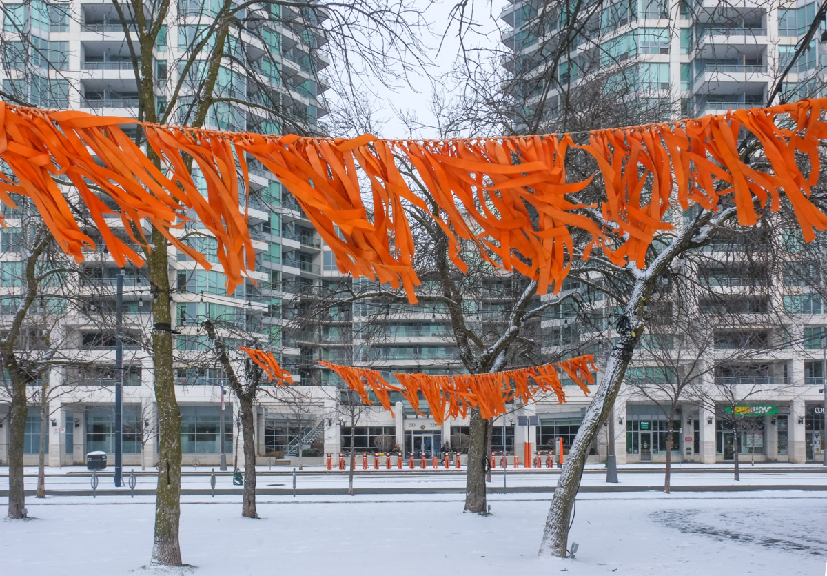
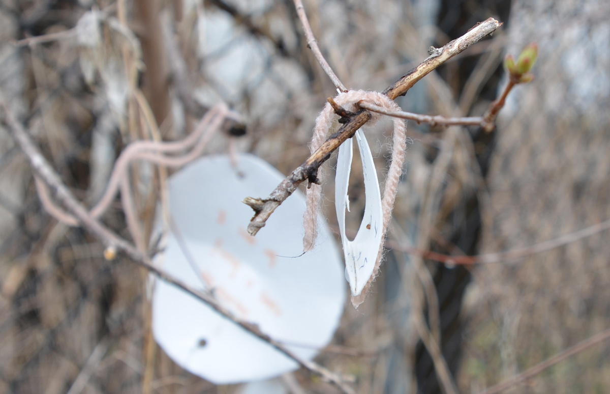
below: Also at Harbourfront, orange ties blowing in the wind. These are remains, and a reminder, of Orange Shirt Day on 30th September.

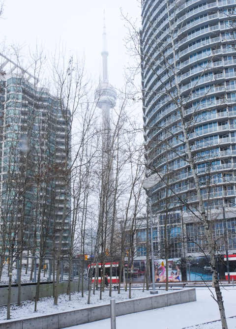
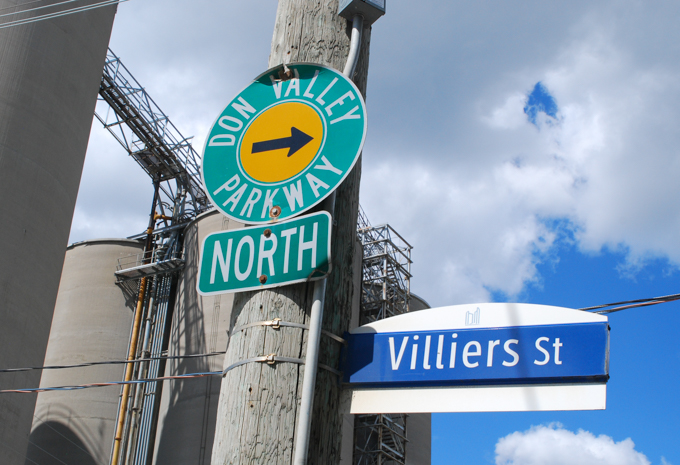
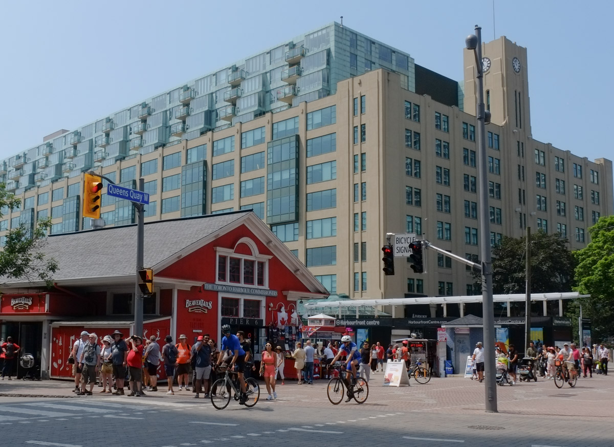
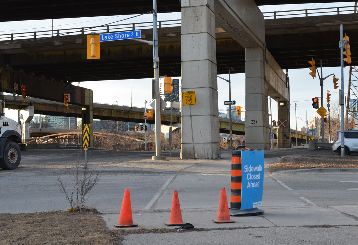
below: Looking east on Harbour Street, parallel to the Gardiner Expressway, toward York Street and the wedged shaped building that has been squeezed into the space.

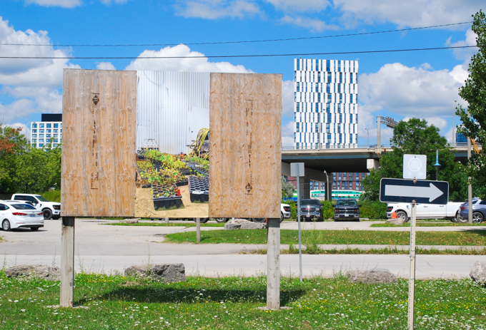
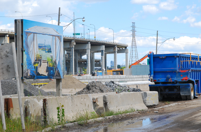
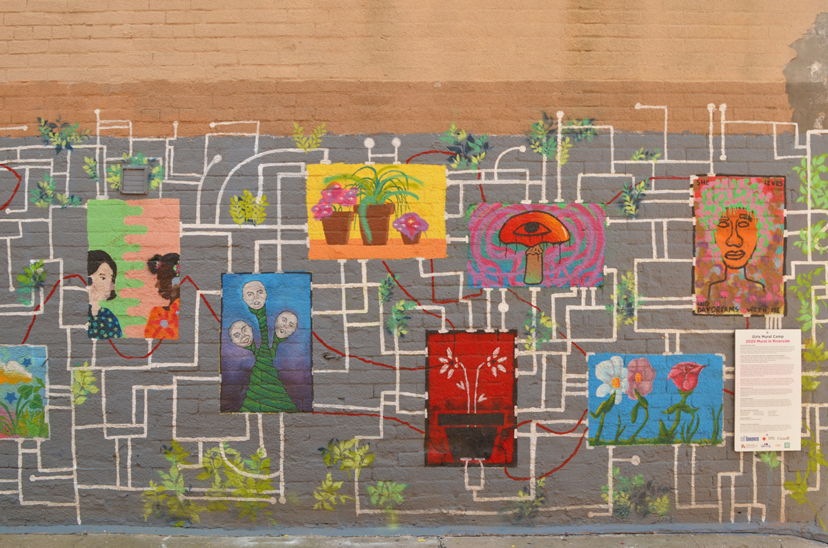
below: Waterfront ReConnect: Pixel Story is a “temporary creative intervention” located under the Gardiner Expressway at Lower Simcoe. Crowd-sourced stories and memories of the waterfront each on a little blue square. Making constructive use of a space that has been neglected for so long; adding colour and interest to what was grey and slightly foreboding.


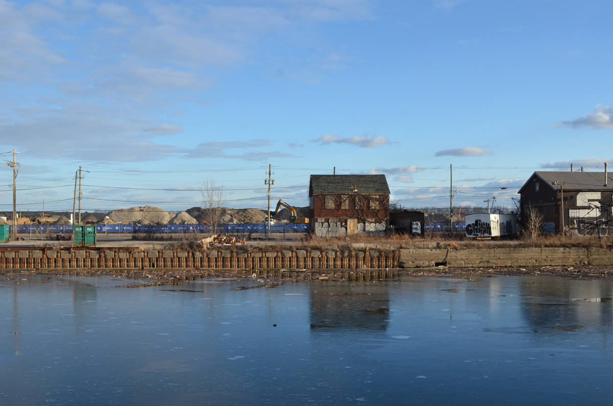
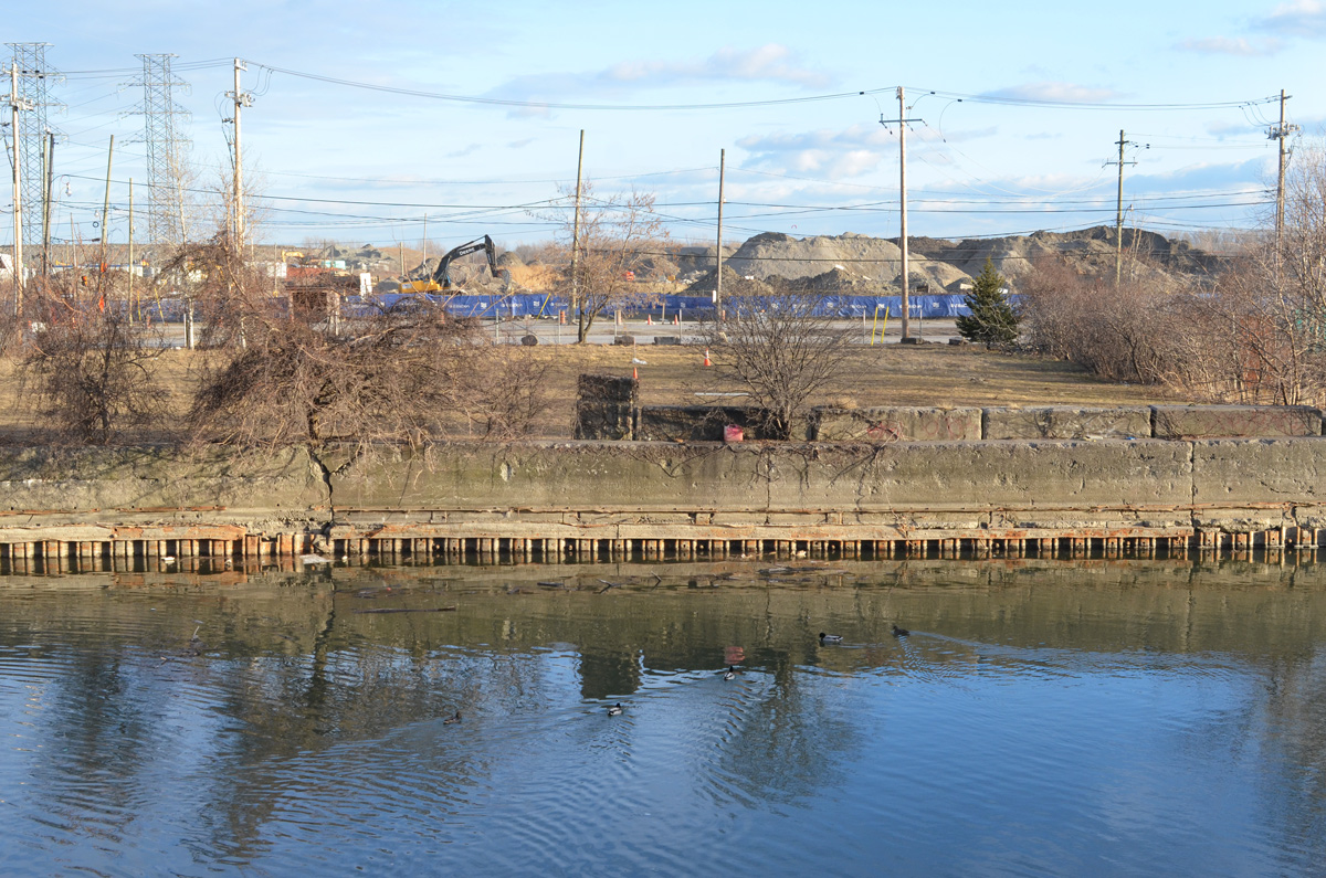
“Railways arrived on Toronto’s waterfront in the 1850s. To accommodate, a southward extension of the shoreline via infill was required. The ground where we stand now is close to the original shoreline of the lake.”

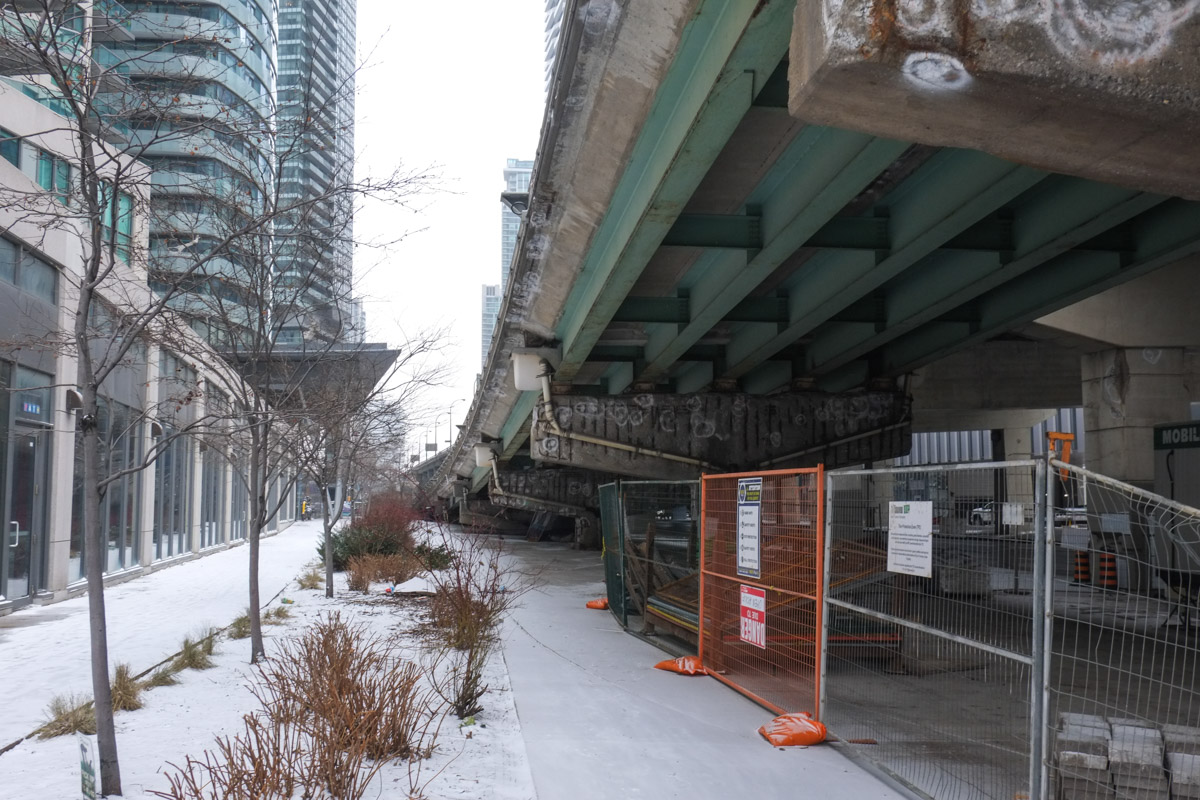
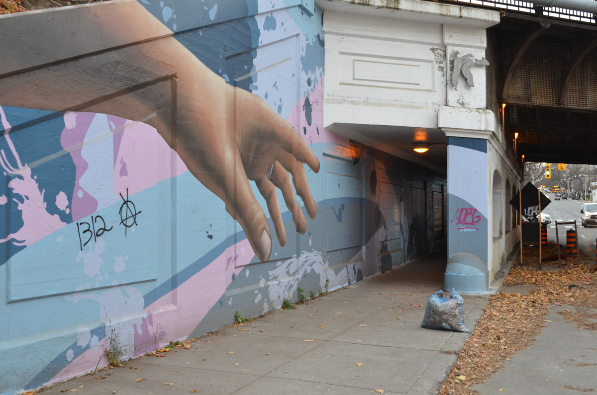
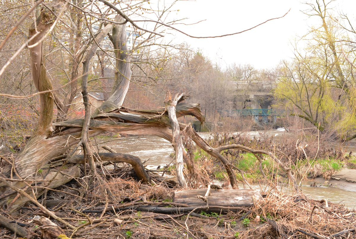
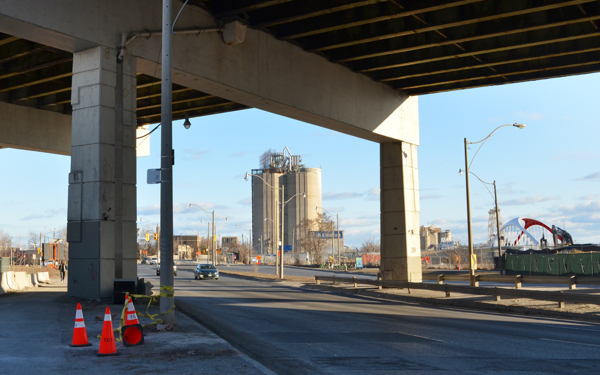
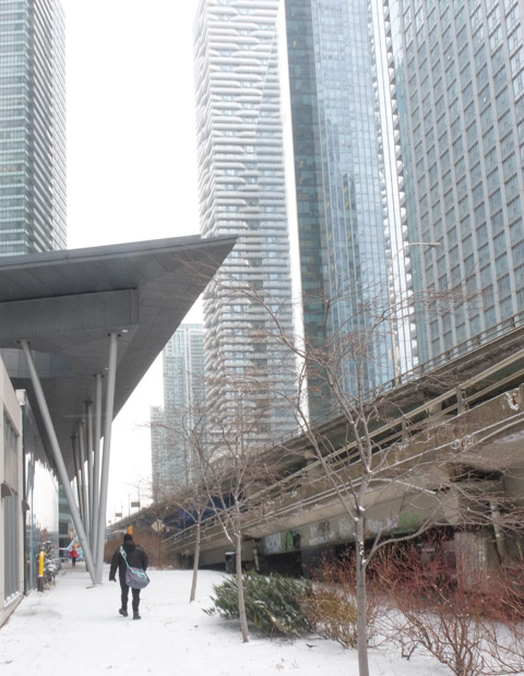
below: On the north side of the Gardiner – still a little darkness lurking there.

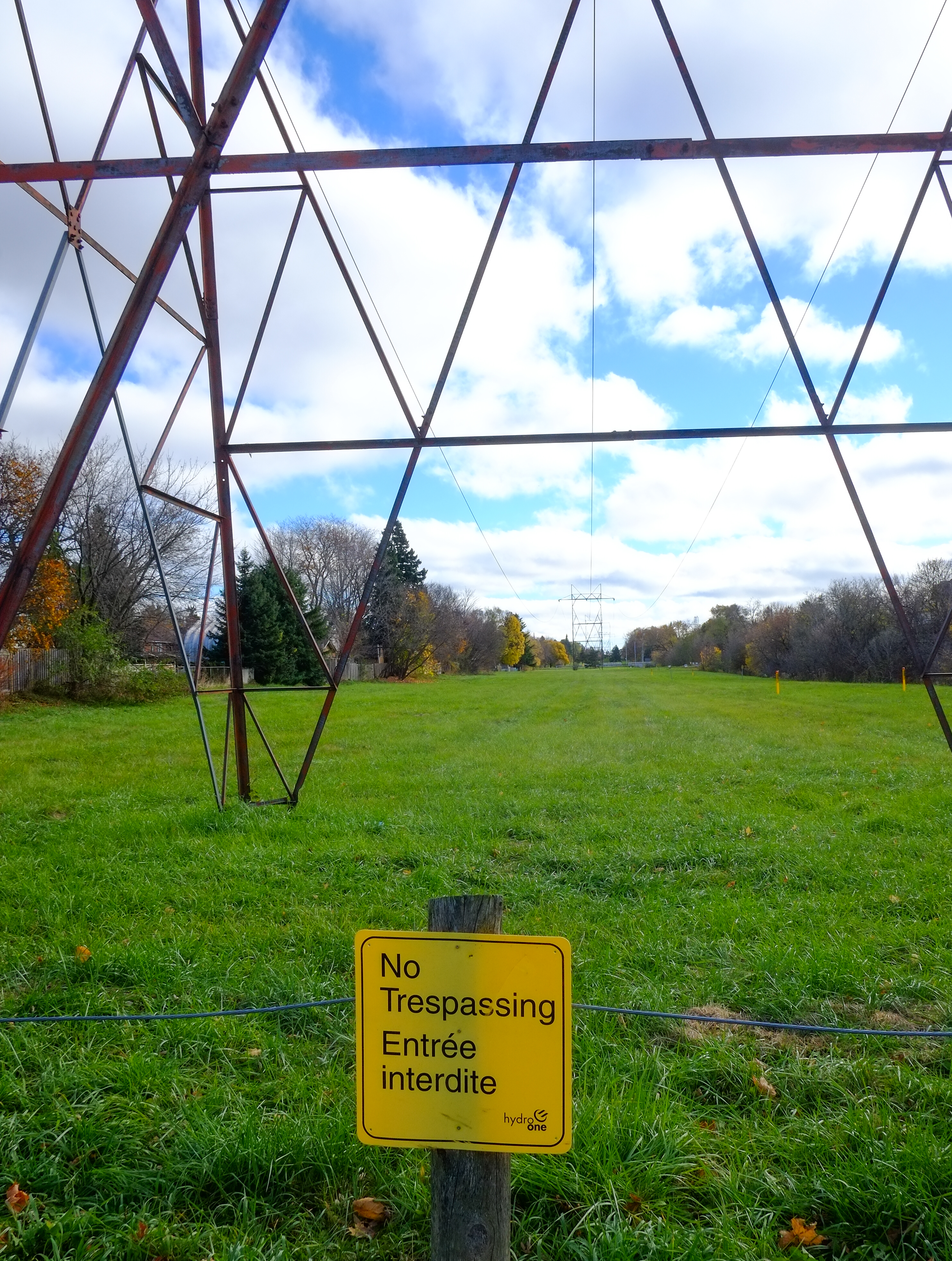
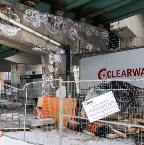
below: City of Toronto sign says Tree Protection Zone. I don’t think that I believe it.


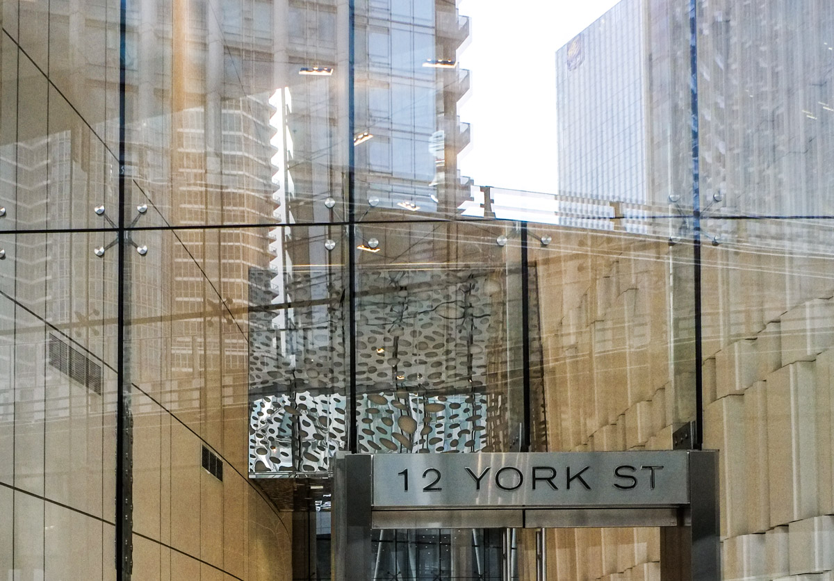
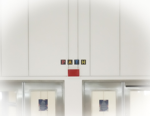
below: At this point I had had enough of the cold; it was time to check out a warmer route! So underground I went, down into the PATH system. The lobby of ICE at 12 York has this large circular skylight over the escalator.

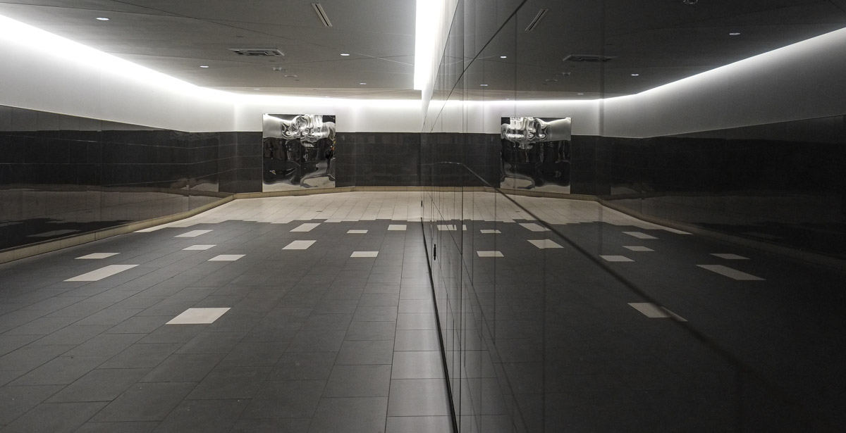
below: And then there is this long black, white, and chrome tunnel that connects the ICE condo and the PATH system. The walls on both sides are reflective and it’s a bit disorientating. Is this supposed to represent walking through a block of ice, or black ice?

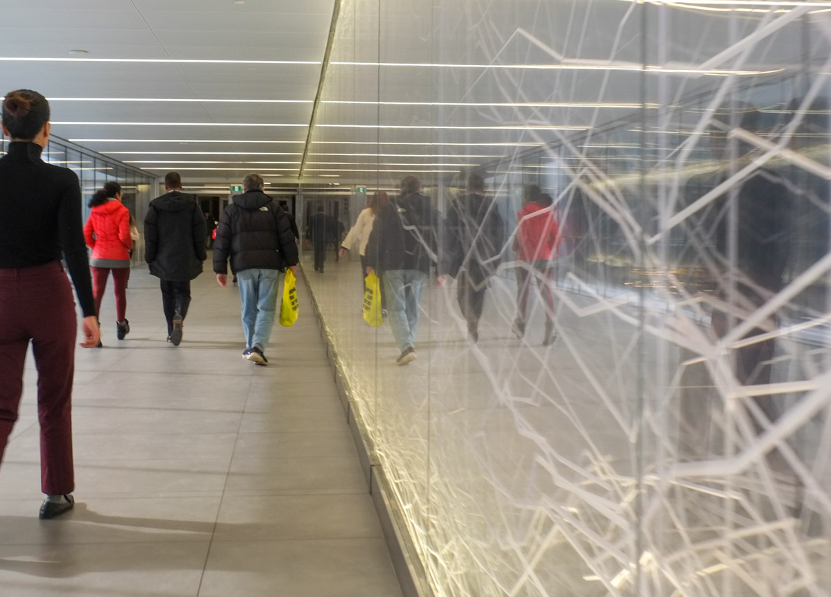
below: PATH, the underground rabbit warren of tunnels that connect downtown buildings to each other. Usually I get lost down here.
below: I found myself in a grocery store

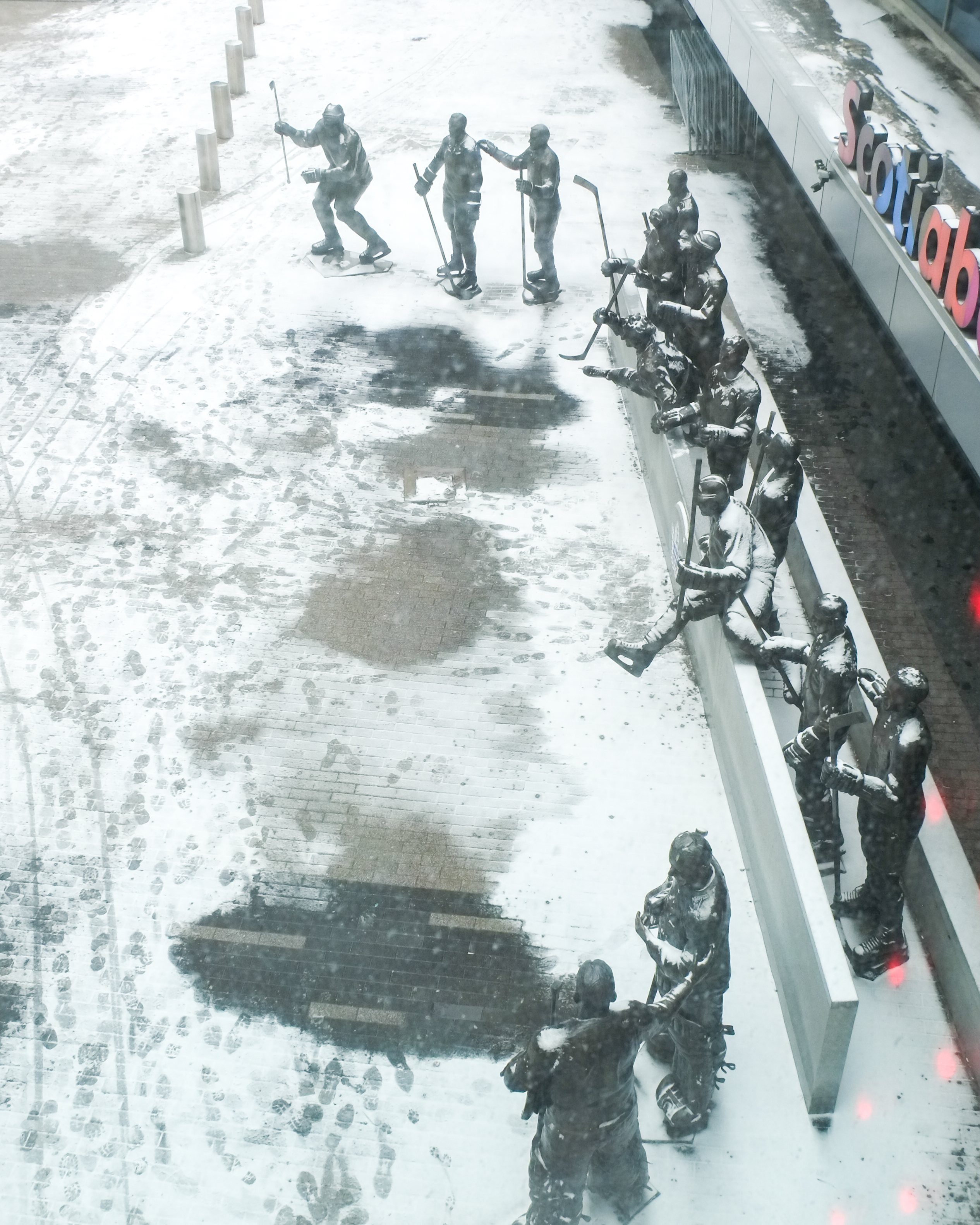
below: And I discovered that the PATH sometimes goes high, not low. I found myself on the upper level of the Scotiabank Arena.

below: There is a great view of Legends Row from up here – that’s the statues of all the Maple Leaf Captains from the past.

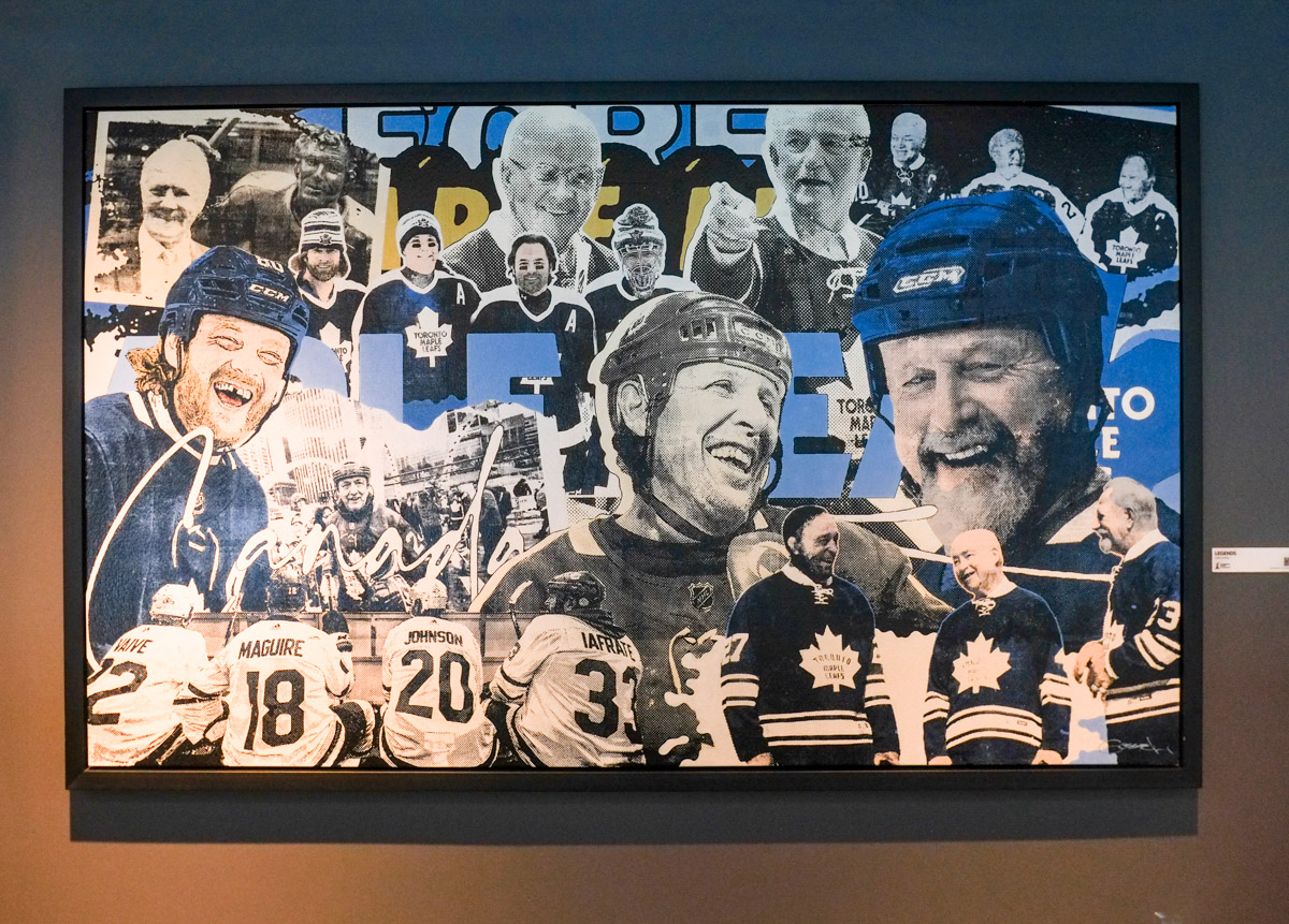
below: And inside, a collage of Leaf players hangs on the wall.

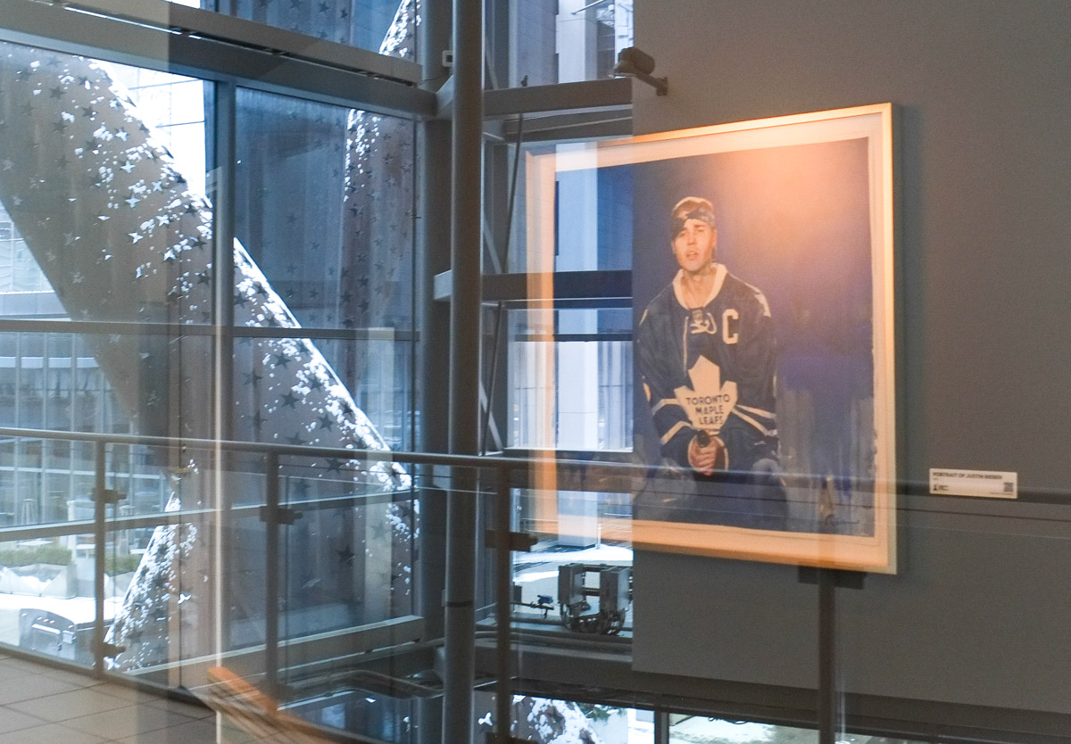
below: There’s even a portrait of Justin Bieber, behind glass, wearing a Maple Leaf jersey with a Captains C on the shoulder.

below: This is also good vantage point for all of Maple Leaf Square

below: Including a close up view of the rusty metal things… Actually it’s “Search Light, Star Light, Spot Light” (1998) by John McEwen.

At Scotiabank Arena, the PATH splits into two possibilities. One route is through Union Station and the other is up the escalator towards the new GO Bus Terminal.
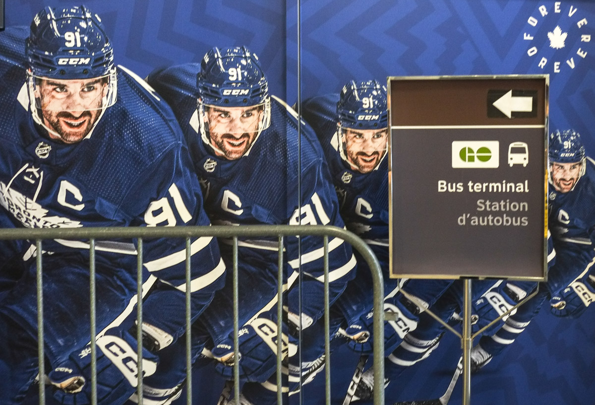
below: Four (or five?) John Tavares’s to give directions to the new GO Bus Terminal. Happy to oblige!

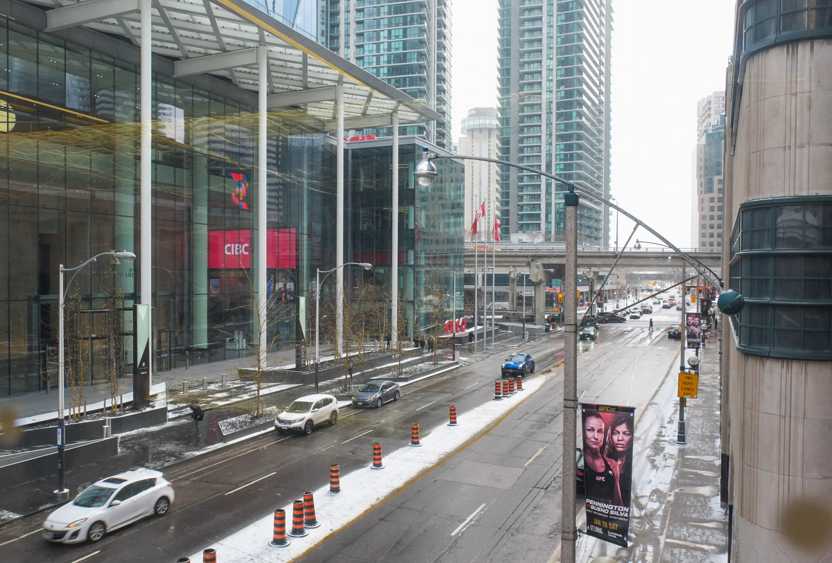
below: There is now a pedestrian bridge over Bay Street that connects the Scotiabank Arena and Union Station Bus Terminal to the new CIBC SQUARE building. This is the view looking south on Bay


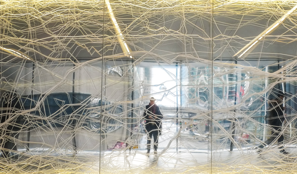
below: Along the north wall of the bridge is a work by Nicolas Baier called “Mycelium”. It is a network of LED lights and it is visible from outside as well.


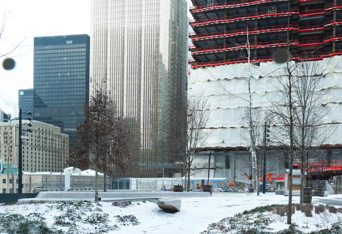
below: At CIBC Square there is a new rooftop garden/park that has a tall skinny metallic tree, along with some real trees. There is no access to it yet but it will probably be a more welcoming in a few months.

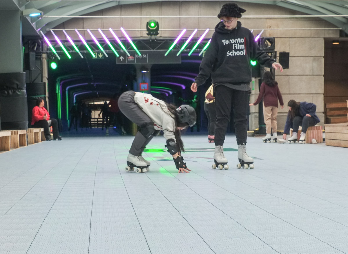
At this point I retraced my steps back through Scotiabank and then walked through Union Station where I learned that a small space has been set aside for a temporary roller skating rink. Free rentals. Free entry.

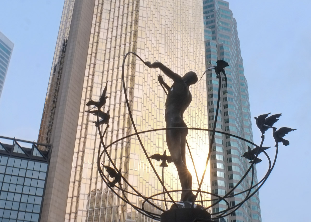
below: He still stands outside Union Station with the flock of birds flying around while the sun reflects off the gold tinted Royal Bank Building.

below: Steamy Yonge Street on a cold day

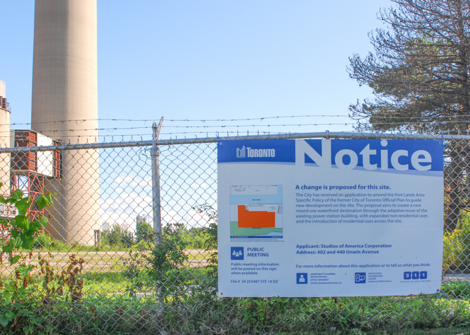
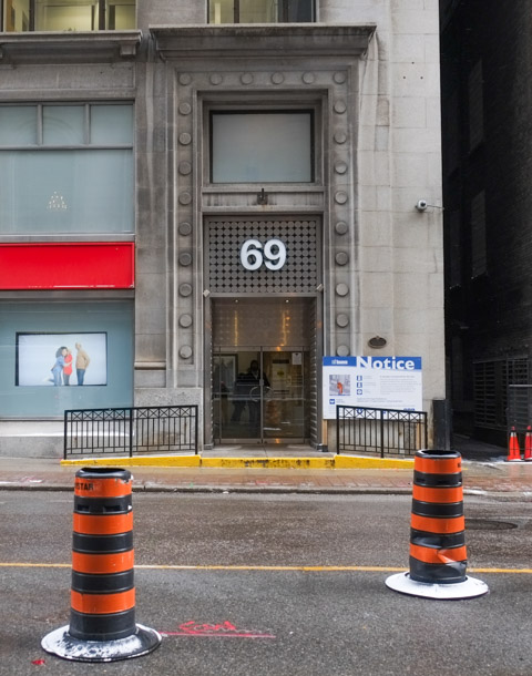
below: Development notice outside 69 Yonge Street.

below: C’est tout. Fini. Time to go home.