The best laid plans….
![]()
Tucked away on a dead end suburban street is a little park with a monument in it. A monument to a couple, Henry Mulholland and Jane Armstrong.

Dedicated to the memory of Henry Mulholland and his wife Jane Armstrong. Pioneers of this district who emigrated from Ulster in 1806 and took out the original grant of four hundred acres from the crown. He fought in the War of 1812 and later returned to Ireland to induce further emigration. While returning was drowned in the wreck of the Lady of the Lake in the Straits of Belle Isle in 1833. Erected by the eight branches of their descendents, 1937.
The ‘Lady of the Lake’ sailed from Belfast on 8 April 1833. She was bound for Quebec with 233 passengers aboard – mostly immigrants. On the morning of 11th May, off the coast of Newfoundland, the ship struck an iceberg. Only a few people survived.
Jane was not with her husband on that trip, instead she was at home with her 10 surviving children, the youngest of whom, Henry Jr. was born in 1829. Two more children later died of smallpox.
Jane and Henry were married in Co. Monaghan Ireland in 1806 so they must have emigrated as newlyweds. Their first child, Mary Ann, was born in 1807.
The 400 acres that the couple were granted were Lots 14 and 15, Con 3 in East York (south of what is now Sheppard and east of what is now Leslie). They built a log house on an island in the East Don River. Fast forward a number of years, after a number of changes of ownership and many changes in the neighbourhood, Henry and Jane’s great grandson, George Stewart Henry bought the farmhouse and property at Lot 14 Con 3 (for $14,500) to bring it back into the family.
The name George S. Henry may be more familiar to some of you. There is a high school named after him, and a whole neighbourhood, Henry Farms.
The reason that I found the Mulholland cairn? It is located close to one of the entrances to the Betty Sutherland Trail, just north of the 401 highway. A few years ago I walked the south end of this trail (you can read about it here: Paths to ruin and a course, 2021). Now I wanted to walk the northern section as well.
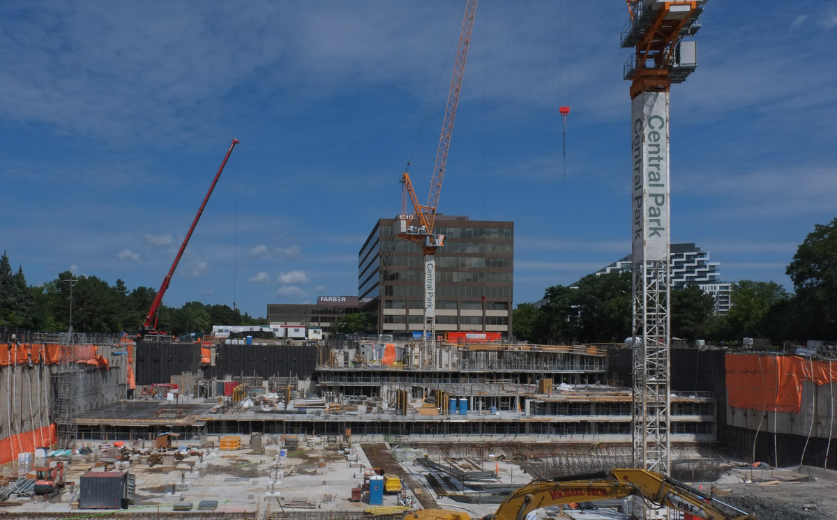
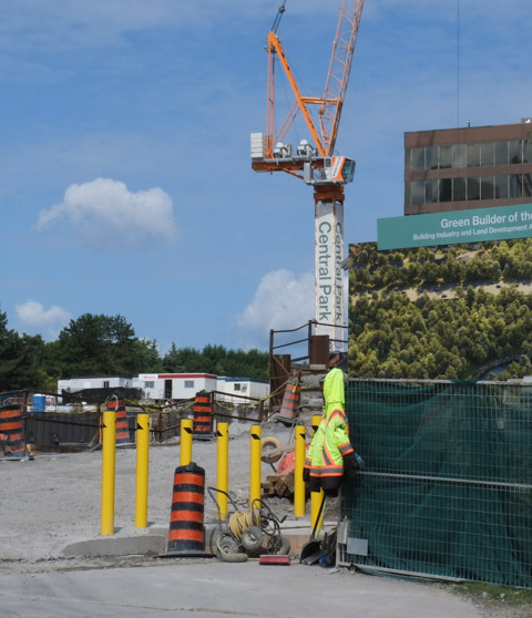
below: An ominous sign, construction on the trail!

below: It wasn’t long before the trail ended. There were six signs to warn us. The end was at the 401 highway.

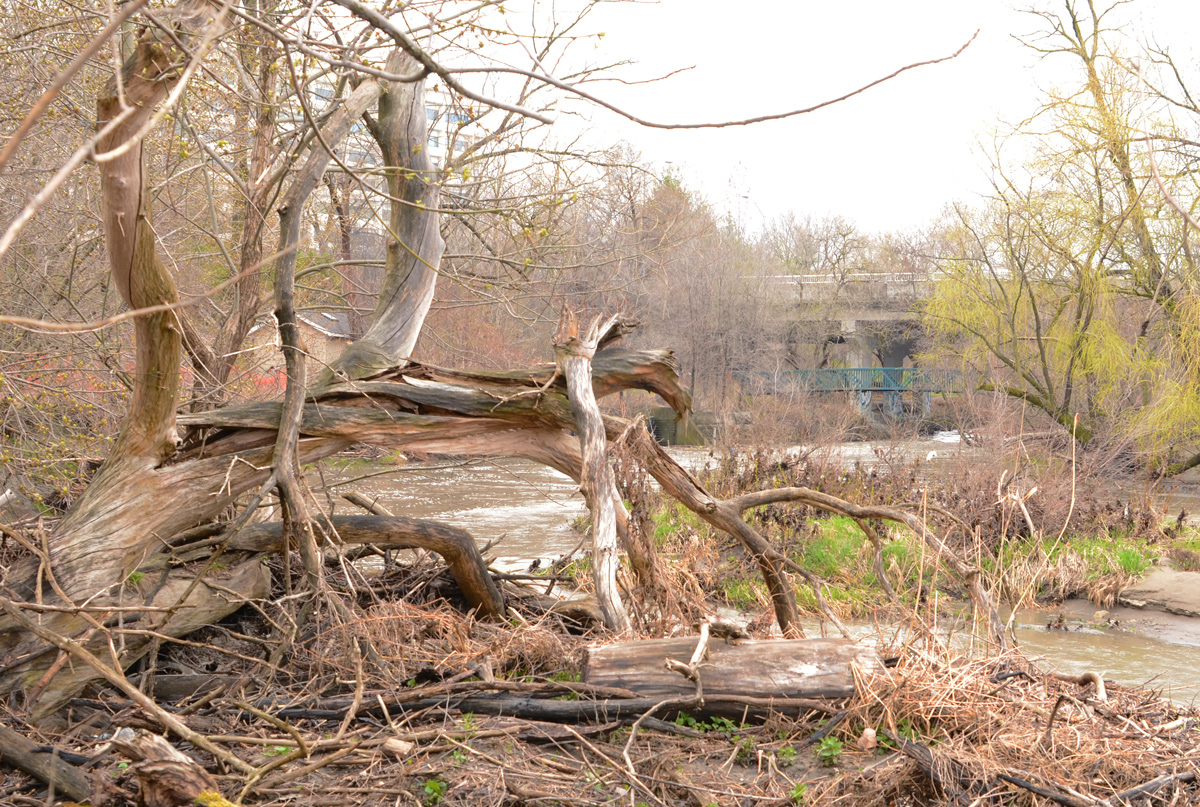
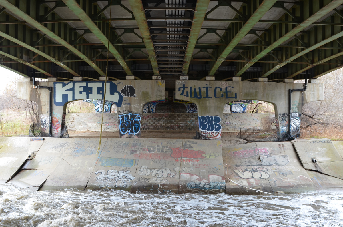
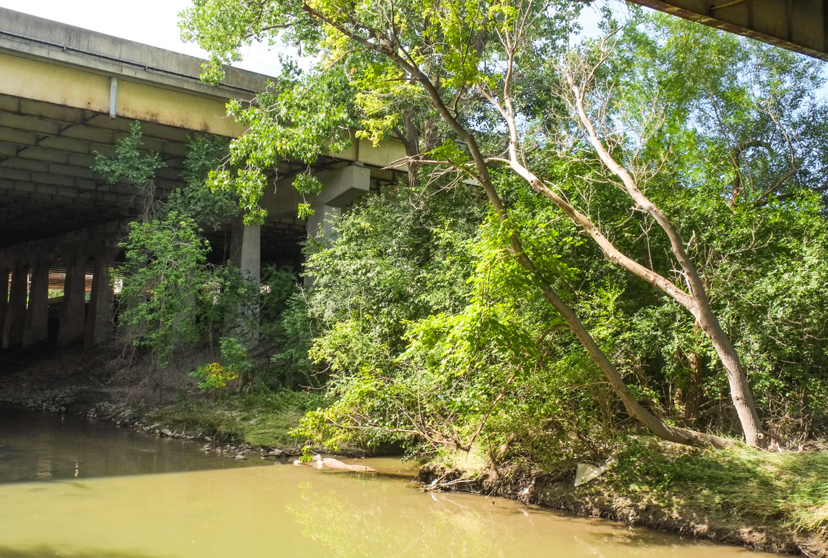
Rather than retracing our steps, we went down to the river’s edge.
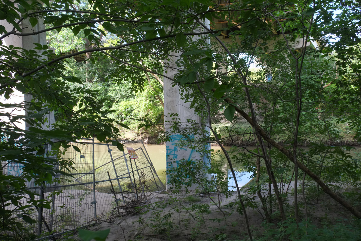


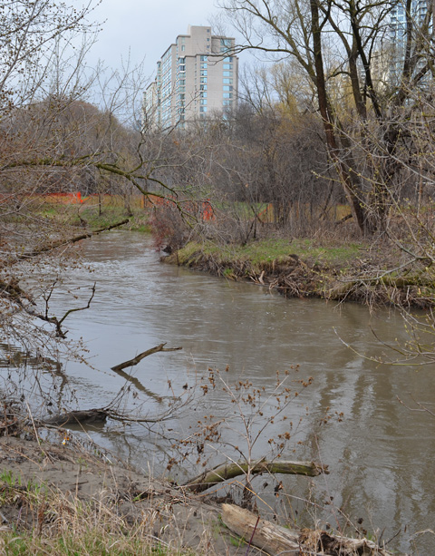
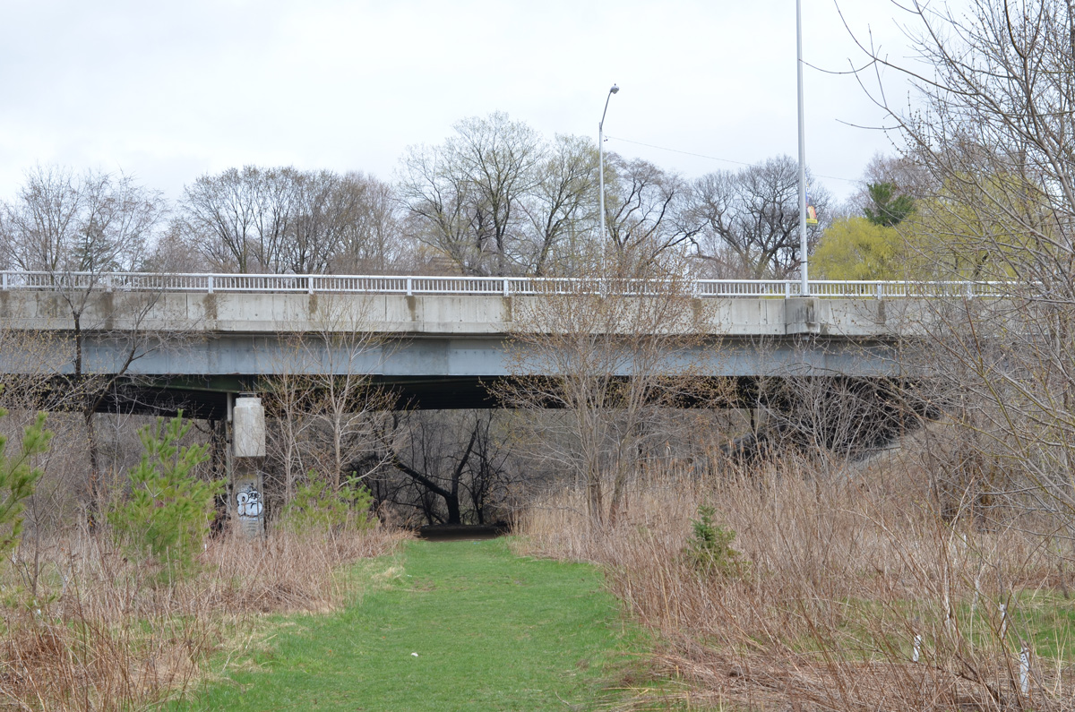
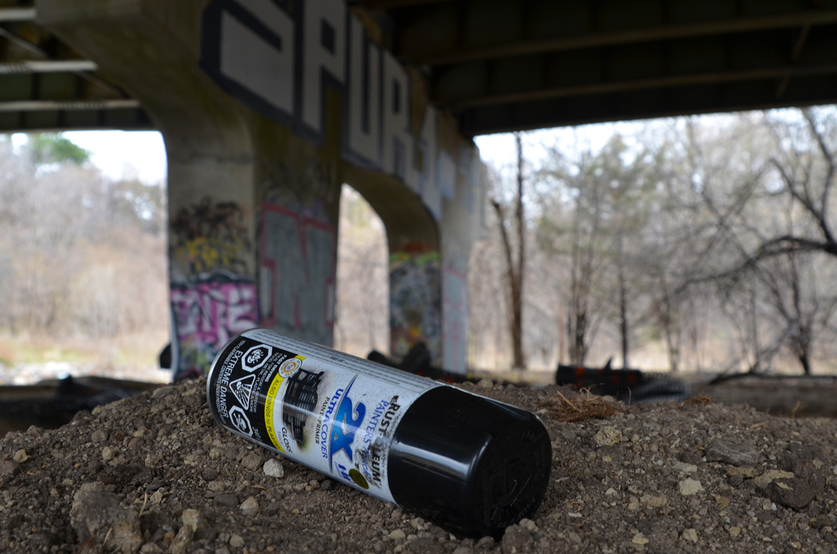
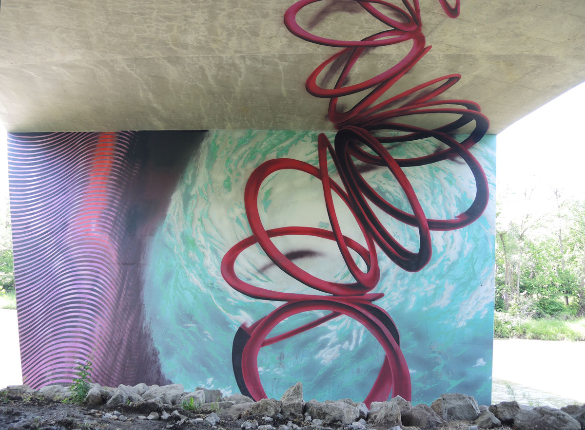
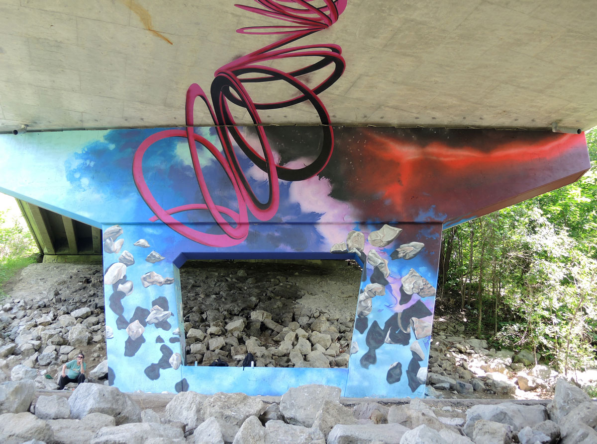
The East Don River flows under the 401
We headed back north instead of south. …Over a piece of the path that had washed out in the August flooding.


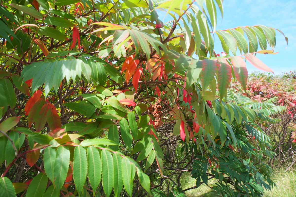
below: stag horn sumac
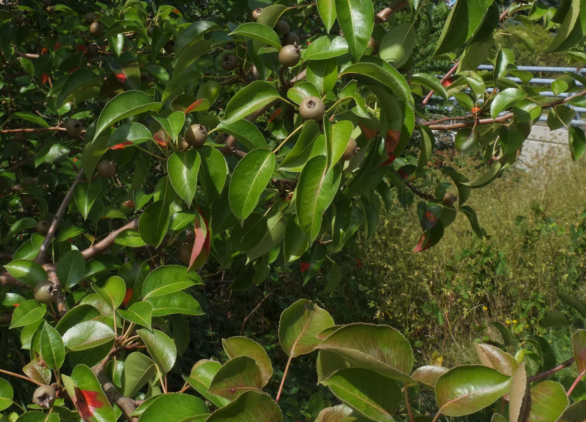
below: pear tree
below: swamp bush sumac

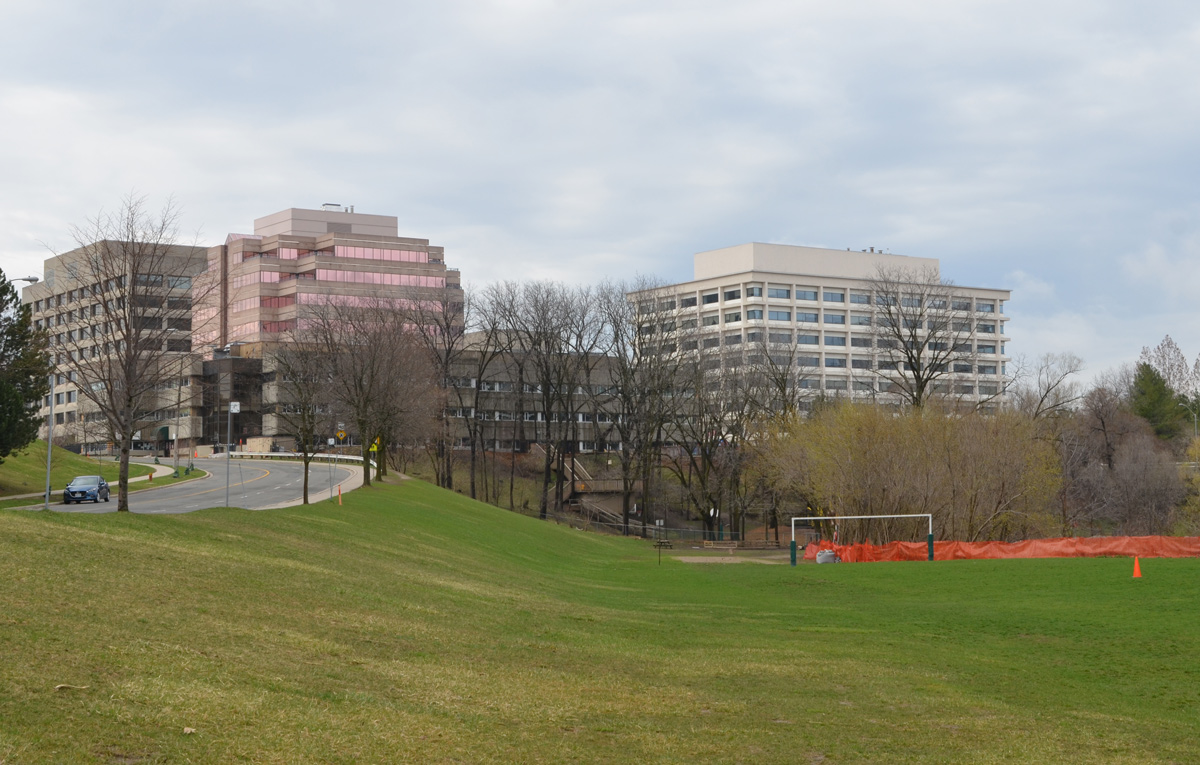
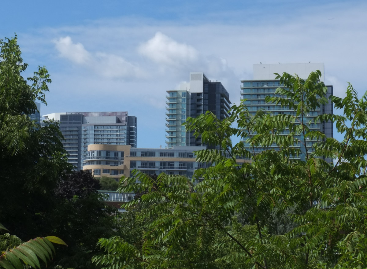
below: North York General Hospital in the background.

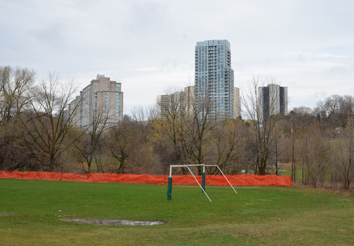
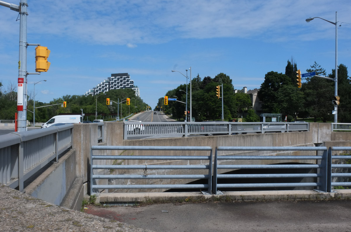
below: The East Don River flows diagonally under the Leslie Sheppard intersection. The black and white highrise in the distance is farther north up Leslie Street.
below: Looking west along Sheppard towards railway bridge

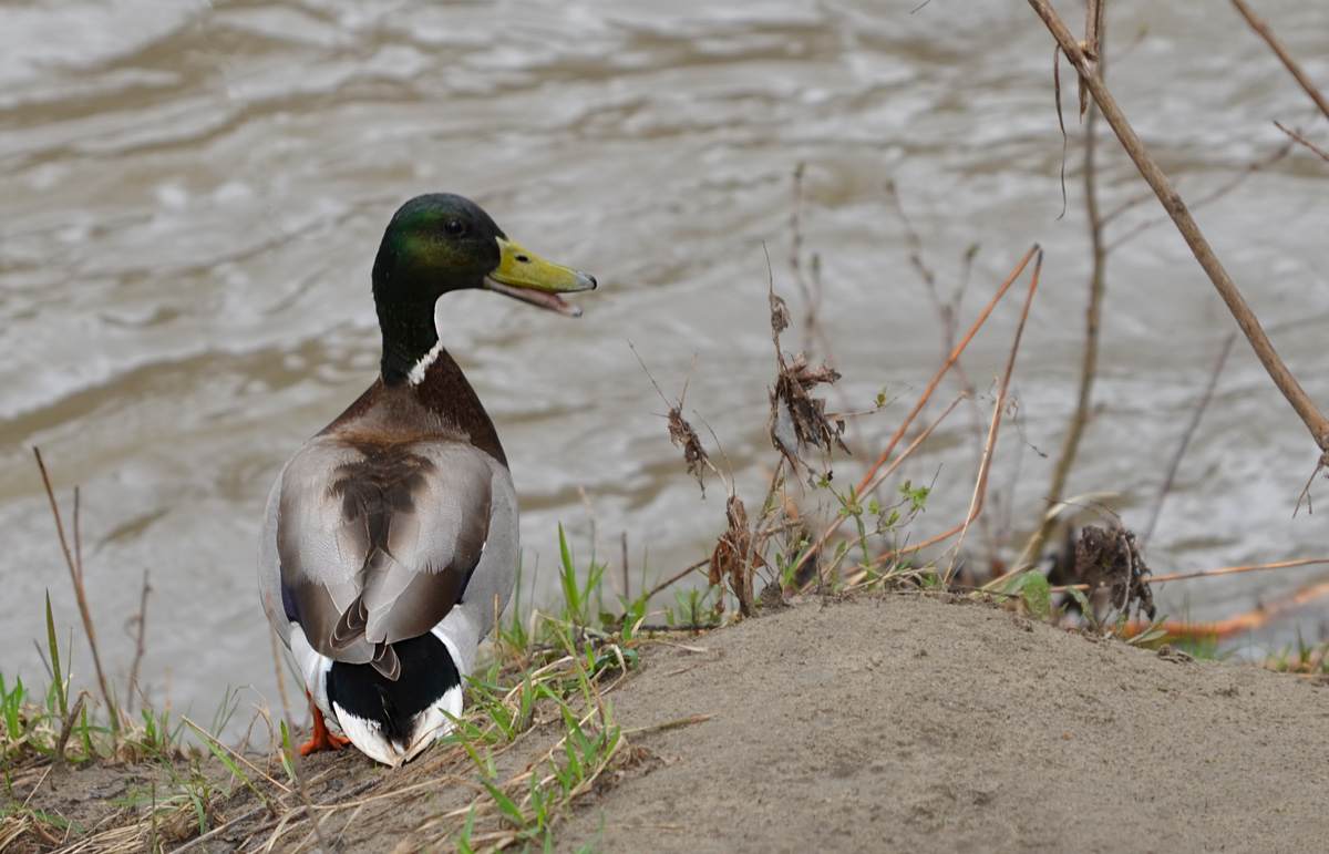
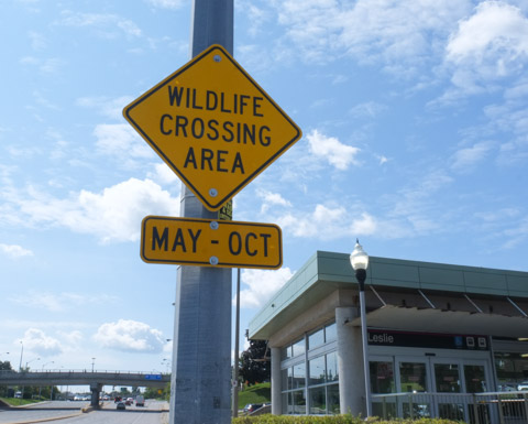
below: Seen just outside of Leslie subway station (at Sheppard). We didn’t see any wildlife, just a lot of traffic.
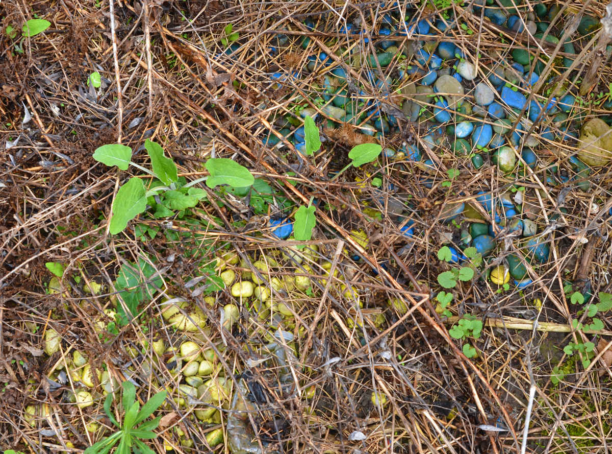
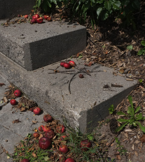
Apples on the sidewalk, north side of Sheppard…. Seems to suggest that once upon a time someone lived here and planted apples.
below: Looking east

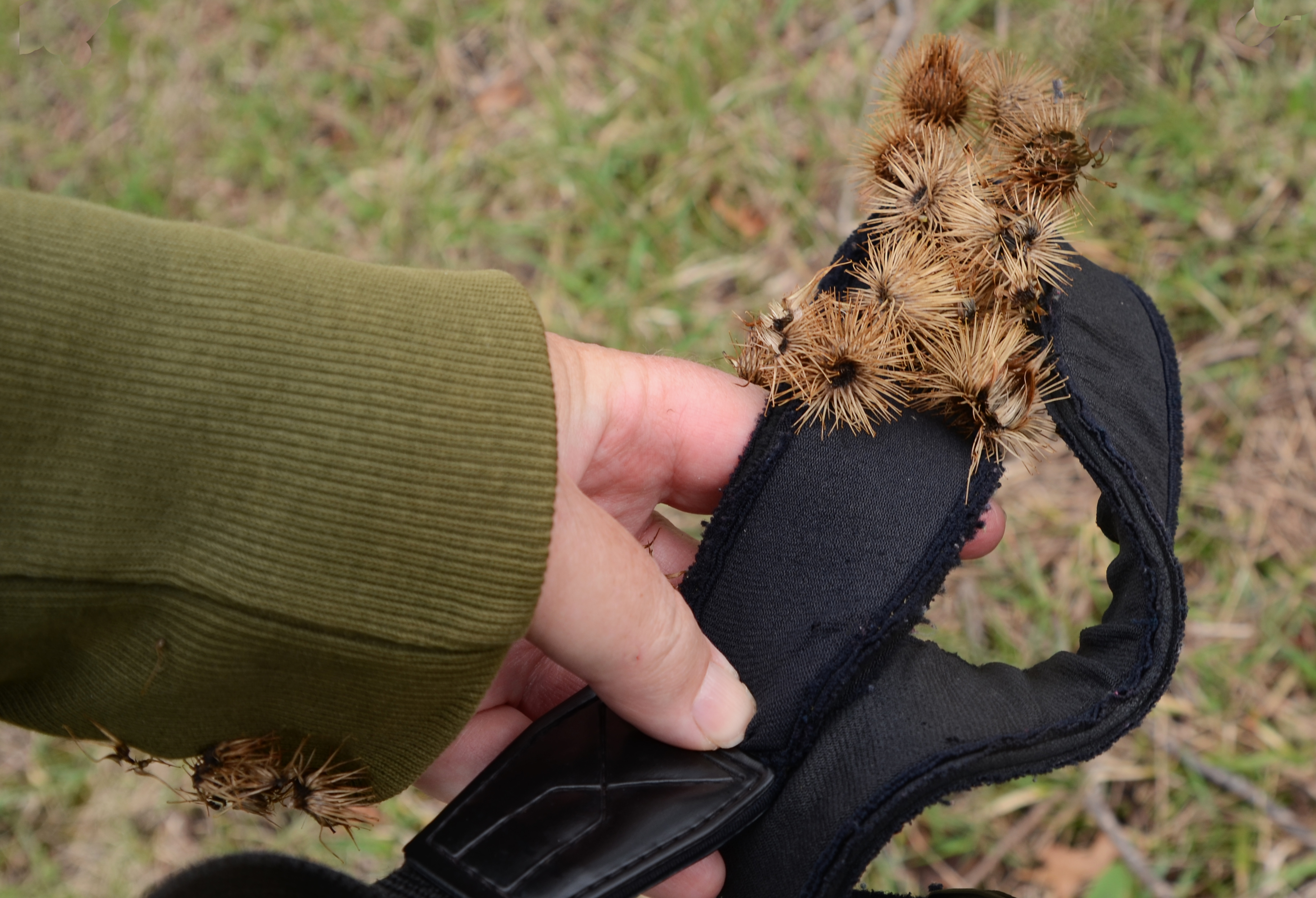
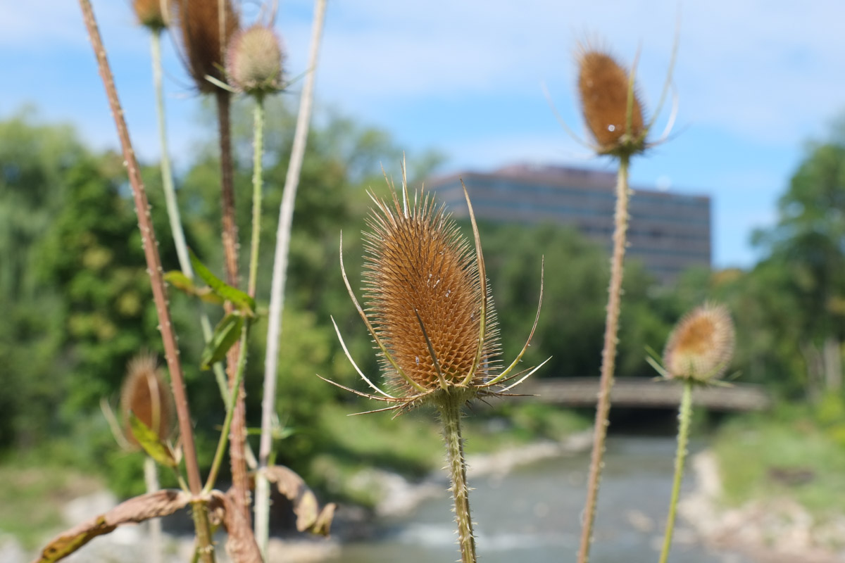
below: Teasels
below: Chinese Crab Apple tree


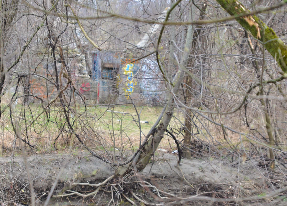
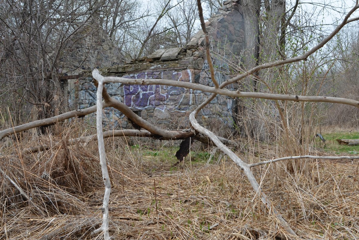
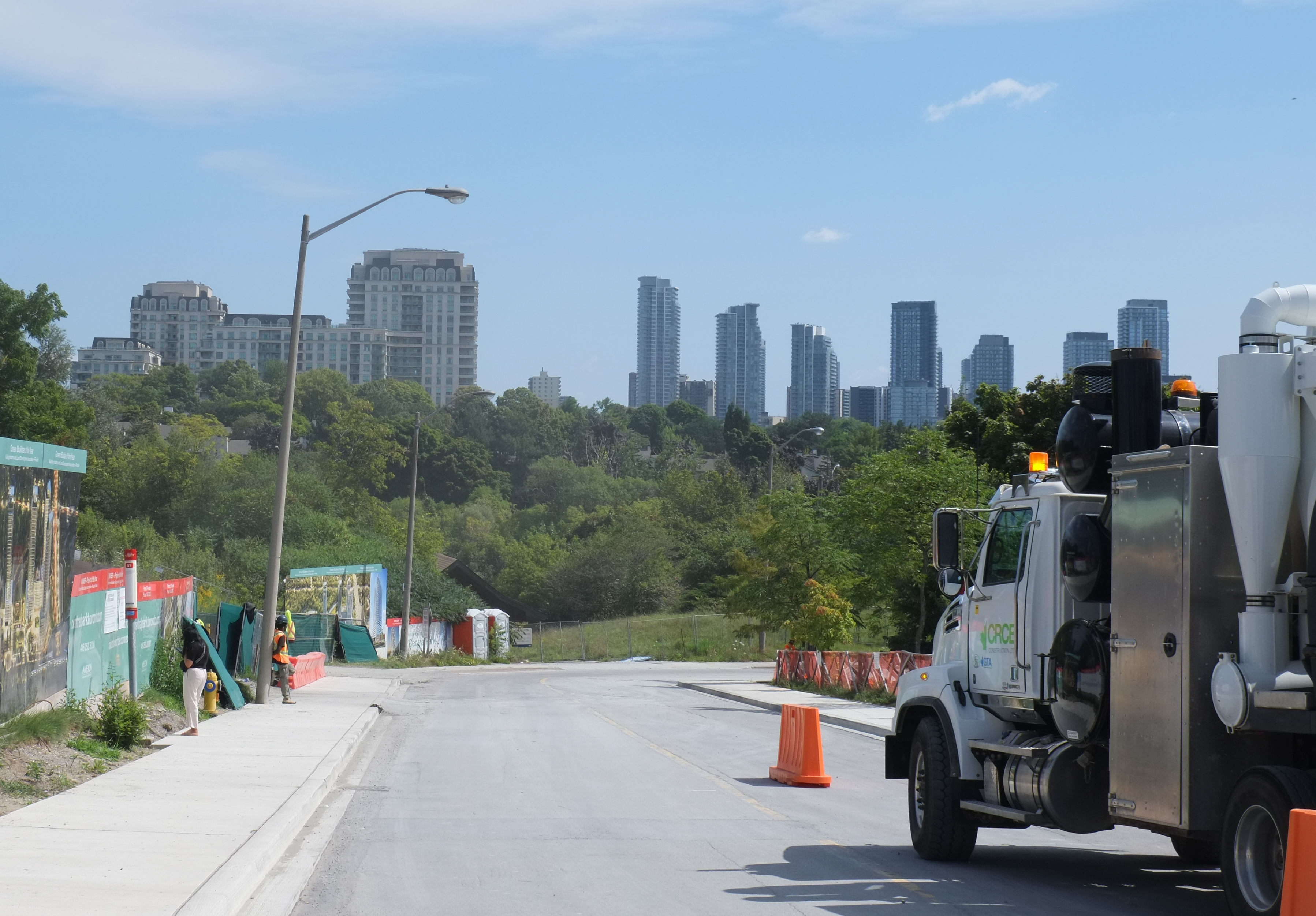
Now on the East Don Trail (north of Sheppard) where there is more construction. Also, a large number of new trees have been planted.

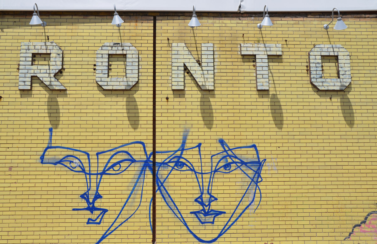
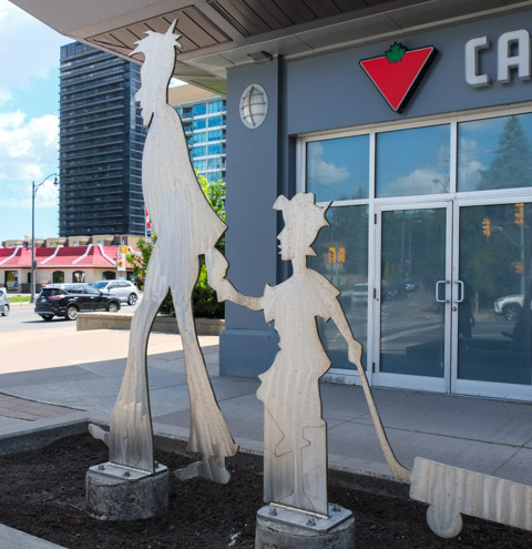
below: Strange artwork outside Canadian Tire, just west of Leslie

Getting back to “Best laid plans”….. You may have noticed that these aren’t the most recent pictures (wrong season!)…. This post was written back in early September and I thought that I had uploaded it. Ooops. Forgot.