Posts Tagged ‘woods’

The main entrance to Glendon College is via Lawrence Avenue on the west side of Bayview; here Lawrence becomes the driveway for the college.   The first building that you see is glass with the word welcome in several languages etched into it.   On the left is “boozhoo” which is Ojibwe, “she:kon” is Mohawk, and “tansi” is a greeting in Cree.

glass wall of newest Glendon college building, glass with the word welcome in different languages etched onto it, reflections in the glass

In 1924, Edward Rogers Wood (1866-1941) and Agnes Euphemia Smart (1868-1950) moved into the house that they had built on 84 acres of ravine land at the north end of Bayview Avenue,  in what was then suburban Toronto.

below: Glendon Hall now, on a grey winter day.

Glendon Hall, in winter, the old house on campus of Glendon College built in the 1920s

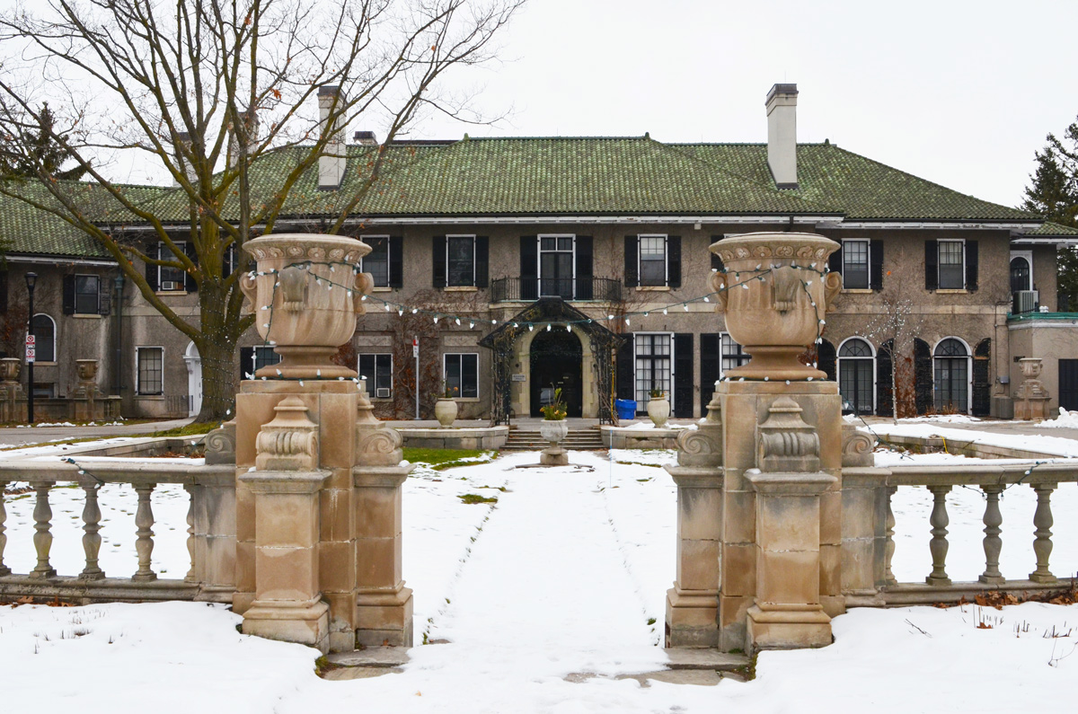
When Agnes Eupemia (Phemie) died in 1950, she left the estate to the University of Toronto to be used for a university botanical garden.  Ten years later U of T gave the site to the newly formed York University to use as their main campus.

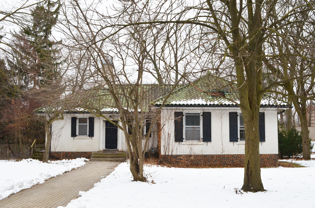
below: Another of the older buildings at Glendon

old bungalow house on Glendon college campus, winter, green tile roof, white walls, black shutters,

below: Residence building being renovated.  They were built in the late 1960s.  Glendon College has just under 3000 students but the campus was very quiet (on a Sunday in January 2021).

residence building, Glendon College, three storey red brick building with windows

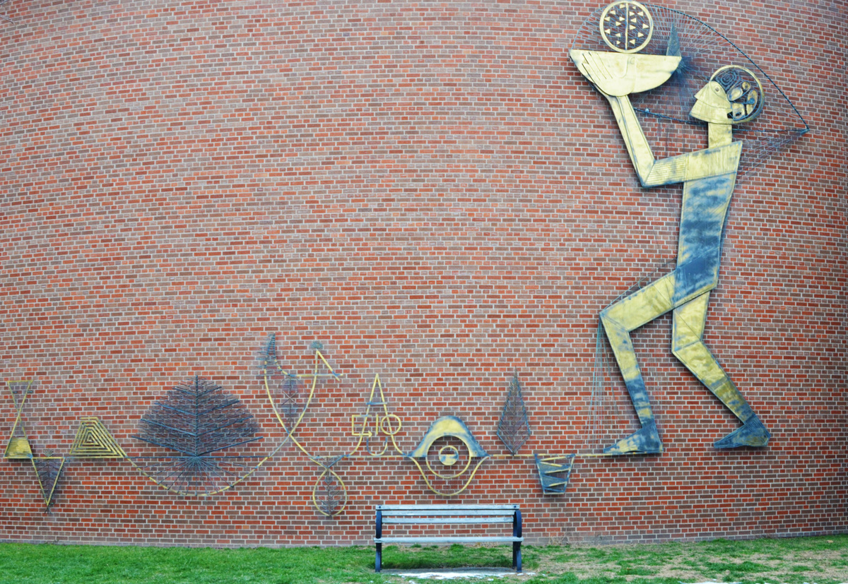
below: Lionel Thomas (Canadian,1915-2005), The Whole Person, 1961 metal mounted on the exterior of one of the buildings on the College campus.

metal 2 dimensional sculpture by Lionel Thomas mounted on a red brick wall, title is The Whole Person, a man is holding a burning lamp

below: Metal sculpture by Ray Spiers (b. Canada 1934), Untitled 1, 1975

metal boxes with open ends, sculpture on the ground, with snow, Glendon campus, by Ray Spiers in 1975

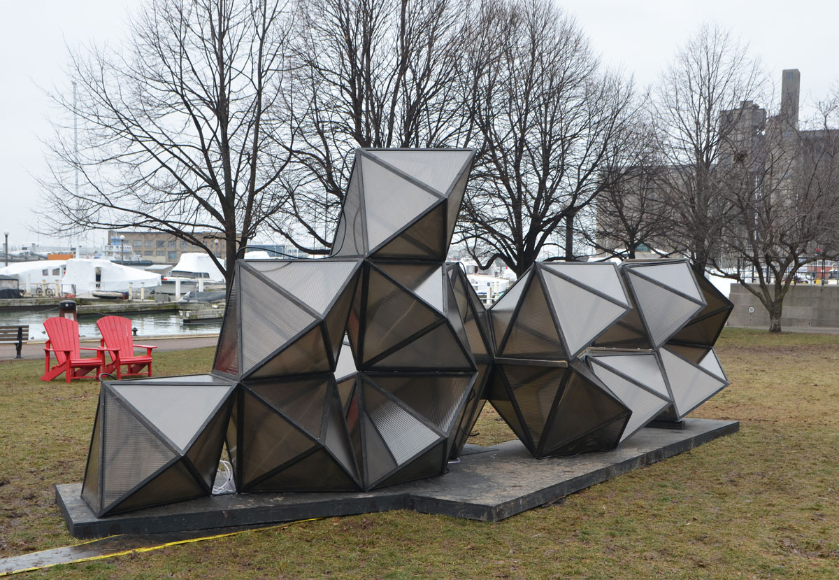
below: Sculpture of a more temporary nature.

small, partially melted snowman with stick arms,

residence building, Glendon College, winter, path, large trees

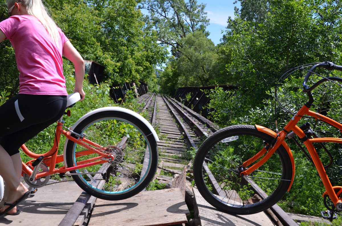
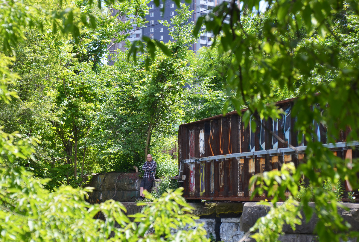
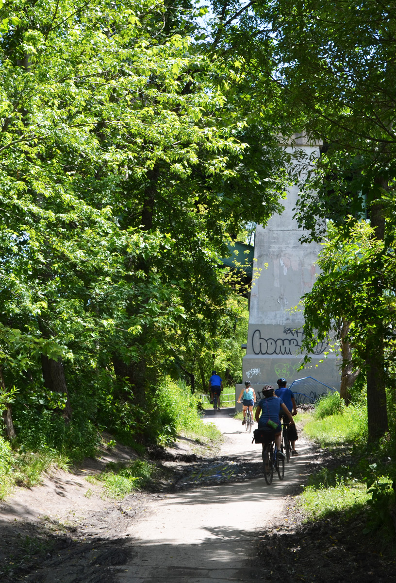
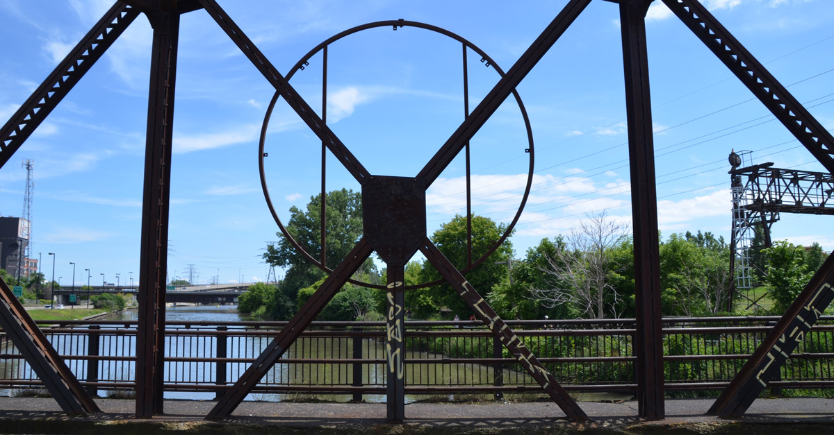
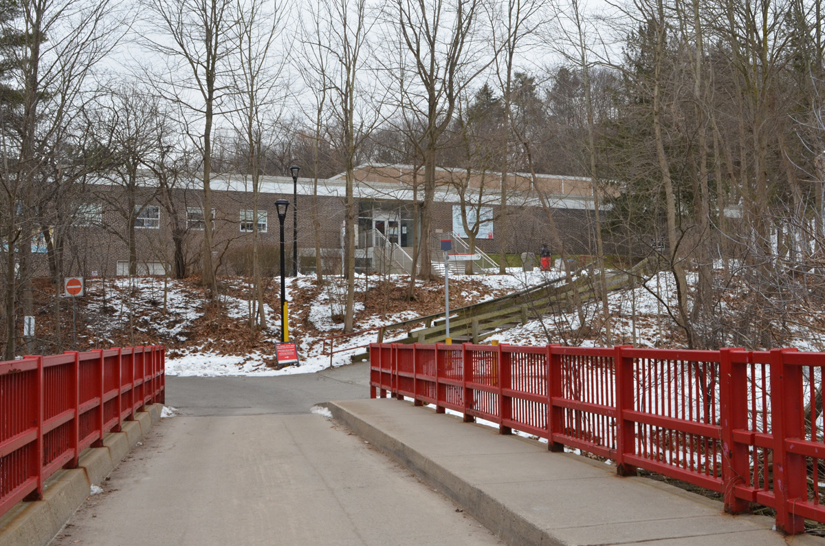
The main part of the campus is up high, above the ravine formed by the west branch of the Don River.  At the bottom of the hill is the pool and tennis courts as well as access to trails along the river.

below: Athletic Center and bridge over the Don River

single lane bridge with wide sidewalk and bright red metal barricades on side, brick building in the background, trees, winter,


path in woods in winter, with orange snow fence lining the walkway

2 dogs on a snow covered path in the woods

below: The end of Lawrence Avenue on the east side of Bayview.

the end of Lawrence Avenue at Bayview, the Bayview bridge crossing the ravine far above

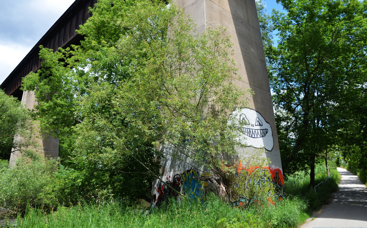
below: Under the Bayview bridge which was originally built in 1929 with financing help from E.R. Wood, and expanded in the early 1960s.

concrete pillars with some graffit on them, holding up a bridge, over snowy ground

below: Before 1929 this is where traffic crossed the Don River.  The bridge, Watson’s Bridge, was built in 1895.   In the distance, you can see the Chedington condos; they sit where a house for Muriel Wood once stood.  E.R. Wood built the house (also called Chedington) for his daughter in 1927-28 but it was destroyed by fire in 2009.

single lane unpaved road through woods, and then over old bridge, winter

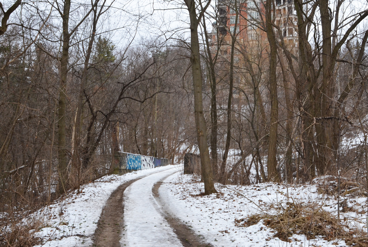
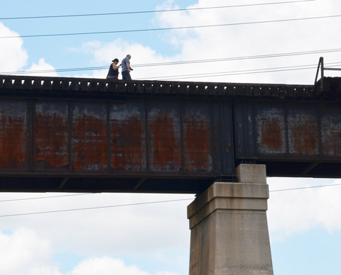
below: Watson bridge, built 1895

an old concrete bridge over the Don River by Bayview, some graffiti on it, seen through the woods in winter, no leaves on the trees, over the Don River,

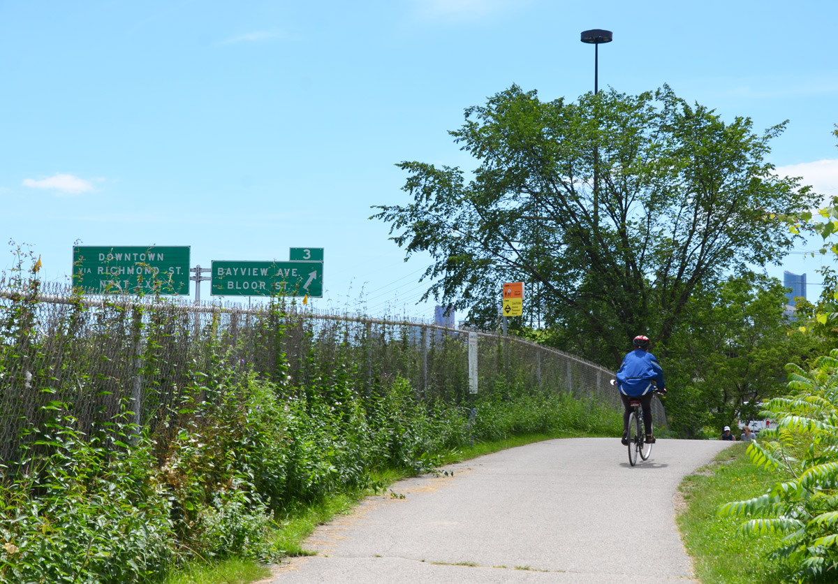
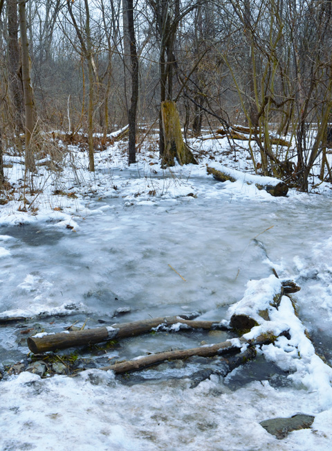
below: Beyond Bayview the paths were very icy so we didn’t venture much farther that day.

ice on the path, beside creek, in woods,

More details about the history of the Bayview bridge can be found on a City of Toronto website.   They have lots of pictures!


A walk along the Don River.

The Don Valley Brick Works (or Evergreen Brickworks) is an old clay quarry and brick factory that operated between 1889 and 1984.  Today the site consists of 16 heritage buildings and an adjacent 16-hectare public park known as Weston Family Quarry Garden that includes wetlands, hiking trails, and wildflower meadows.

below: Interior of the kiln building.  Some of the kilns have been removed to create a larger open area and year round event space.

large ceiling pipes, exhaust system for old brickworks kilns, some of the old kilns as well

below: anser faces on the exterior yellow brick wall.

yellow brick wall with two large blue anser faces on it, as well as part of the word Toronto in yellow bricks

below: The Brickworks “living map” of Toronto is looking very healthy.  It is “Watershed Consciousness” by Ferruccio Sardella and it depicts the rivers and ravines in the city.    Some of the greens are looking a little tall (like they don’t belong there? a few strays?).

a pink chair and a yellow chair sit in front of a sculpture that is a metal relief map of Toronto, green plants grow in the areas of the map that are ravines and green spaces in the city

below: Bullrushes growing in the wetland area around the pond.

narrow brown bullrushes growing amongst the reeds in the wetlands at brickworks

below:  Ideas!  I’ve been meaning to find the end of this bridge and walk at least part of it – if I do, I’ll let you know!  It’s the bridge that you see beside the Brickworks.  It was built in 1928 and is 335m long.   It is part of the Don Branch of the CPR and it ran from Leaside Junction to the downtown core until the line was closed in 2007.

two people walk across an unused railway bridge

After a short visit at the Brickworks, including a quick bite to eat at the Farmers Market, we headed south.  The first part of the walk was back along Bayview to Pottery Road since Brickworks is on the west side of the Don River and the trail is on the east side.  I didn’t take any pictures – walking along a major road that doesn’t have a sidewalk needs all of your attention.   There is a bike path that parallels Bayview on the east side but getting to it was either a long detour or a dash across the road and over a barrier.   We made the decision to stay on the west side and cross with the lights at Pottery Road.

below: Although the path is through the ravine and it runs beside the Don River, it also runs adjacent to the Don Valley Parkway.  There are only a few places on the trail where you can see the highway but there is a constant rumbling noise from the cars passing by.

cyclist on a path, riding away from the camera, fence to the left of him/her, green signs on the Don Valley Parkway to the far left. exit sign for Bayview and Bloor.

below: This is the same railway line as the bridge shown above but farther down the valley.  A very makeshift bike crossing.

two cyclists walk their bikes across loose pieces of plywood over unused railway tracks

below: Standing at the same spot as the above photo, but turned around 180 degrees… You can see how overgrown the old tracks are.

looking along an abandoned railway line, overgrown tracks, trees on either side, apartment buildings far away in the distance

below: Two different railway lines run down the Don River Valley.   The line shown here, the CN Bala subdivision line,  is very active including use by GO trains that service the Oriole, Richmond Hill, and Newmarket route.   The Bala subdivision tracks continue all the way to Sudbury.

a cyclist walks his bike over a gravel travel under a bridge that has just been renovated, another bike rider is dismounting

below: A quiet spot by the abandoned tracks.

an old rusted side of a railway trestle bridge, lots of greenery from the trees growing around it, a man is standing at one end of the bridge, unused tracks
below: There are a few spots along the trail where there was damage from the high water levels in the spring.  Most if the problems are with the banks od the river.  The trail itself is in good shape.

an orange plastic fence runs between wooden stakes, danger, marking the parts of a riverside trail that got washed away or damaged in high water in the spring

below: Kayaking on the river.

a yellow kayak with two people in it passes under an old railway bridge that has graffiti on it. Don River

below: Keeping an eye on the water level.

surveillance camera on a tall pole, aimed at rulers and markers on the far side of a river, keeping an eye on the water level

cyclists on a path through the trees, a bridge support is beside the path

a big white happy face graffiti on a bridge support

below: Does anyone know what the 6 drum shaped things are?

two boys ride bikes past the Mill Street Junction hydro station, fenced in area with danger signs,

below: Standing on the old metal bridge across the Don River at Eastern Avenue, looking south.  When the Don Valley Parkway was built, it cut through Eastern Avenue.  Eastern was rerouted, swinging north a bit before crossing over the DVP and splitting into Richmond, Adelaide, and Eastern. (depending in which direction you’re travelling).   If you stand on the bridge and look directly east, there is still a road there that dead ends at the highway.  It is now Sunlight Park Road and it is provides access to the BMW dealership that you can see as you drive past on the DVP.

metal work of the side of a bridge frames the view of a river and trees and city buildings, Don River, abandoned bridge

I couldn’t see any park in that area so I decided that if there is a Sunlight Park it’s teensy tiny.  Luckily I didn’t stop there – I did some research and discovered that Sunlight Park was actually the first baseball stadium built in Toronto.   It was built in 1886 and was first known as the Toronto Baseball Grounds – four storeys, wood, and the home of the Toronto baseball team from 1886 to 1897.   And where is Sunlight in all this?  The stadium became known as Sunlight Park after the Sunlight Soap factory that was built by the Lever Brothers in 1900/01 in the same area.   The stadium was demolished in 1913.

below: The building in the background was the Lever Brothers (the Unilever) soap factory.  There is now a sign on the building that says firstgulf.com – they are the development company that owns the site.  NOW magazine published an interesting story about the building as it looks at the moment (with lots of great pictures!).  The path through the striped underpass joins the Don River Trail to Corktown Commons.

two men walk through a park towards an underpass under a railway track, factory in the background.

 Stay safe.  Protect the plants (and the humans!)

altered sign. Instead of saying Protect the Plants it now says Protect the humans.

The finishing touches are being put on five installations for the new Ice Breakers event along Queens Quay West and the waterfront.  Everything will be up and running this weekend and the installations will remain until the event ends on the 26th of February.    Ice Breakers is the result of a collaboration between the Waterfront BIA and Winter Stations (the people that brought the winter warming stations installations to the Beaches)

below: The first installation that I saw was ‘Incognito’ which stands out in Rees Street Parkette on Queens Quay.   It is by Curio Art Consultancy and Jaspal Riyait.

a public art installation in a park, winter time but no snow, no leaves on the trees, muddy brown grass, condo in the background. Artwork is a series of shapes stacked in a pile, all shapes are painted in black and white wide stripes. The stripes are horizontal, vertical and diagonal in the resulting structure, called incognito, by Jaspal Riyait and Curio

below: Set your sails and round you go!  Sailboats that go in circles.  ‘Leeward Fleet’ by RAW design sailing at Canada Square.

with the lake in the background, art installation beside Lake Ontario on Toronto's waterfront, called Leeward Fleet, by RAW consulting, two (of three) round platforms with a small sail in the middle. The boom of the sail is the handle for turning the platforms round and round like a merry go round.

art installation beside Lake Ontario on Toronto's waterfront, called Leeward Fleet, by RAW consulting, two (of three) round platforms with a small sail in the middle. The boom of the sail is the handle for turning the platforms round and round like a merry go round. CN Tower in the background as well as some of the downtown condos.

below: ‘Icebox ‘ is a black box on HTO beach which is where the yellow umbrellas are.  Alan and Alex of Anex Works were putting the finishing touches on it when I walked by.   Polymetis designed it, but Anex Works built it.  In fact, they are the ones responsible for construction of most of these installations.   I didn’t take any photos inside the box in part because it’s not complete… but the inside walls are made from hardened spray foam insulation and that’s all I’m going to tell you.  This one will be more fun if it’s a surprise.   I definitely plan to go back later in the month to check out the finished product.   And yes, it is reminiscent of the black box that was one of the Warming Stations in 2015, Hot Box, because it was the same artist (or group of artists).

black box on a beach with muskoka chairs and yellow umbrellas,

reflections of the yellow umbrellas of H T O beach on the black shiny sides of Icebox, an art installation at the beach

below: From across the street it looks like two hands gesturing like “It was this big!”
Or perhaps they are holding that grey building up?

looking across Queens Quay west to the buildings and condos in downtown, the edge of the Skydome (Rogers Center) is just visible, two large hands rise upwards as part of an art installation.

below:  The hands are made of wood.  The palms are covered in a shiny gold coloured material that will reflect the light that shines from the bottom of each hand.   “Tailored Twins” by Ferris + Associates.

two large wooden hands face each other, beside the sidewalk, condos behind, the plams are covered with shiny gold,

below: And last, an installation that probably looks much better in the dark when each diamond shaped module is lit from inside.   This is ‘Winter Diamonds’ and it was designed by Platant, a Danish design and artistic consultancy.  Their website is in Danish but it does have some interesting pictures on it, including an installation similar to this that was in Copenhagen last winter (I think!)

public art installation in a park along Lake Ontario, diamond shapes stacked in a pile, 10 pieces altogether, 5 on the bottom, 4 on the next row and one on top, grey in colour, bare trees and boats covered for the winter are in the background.

#TOicebreakers | #TOwaterfront

Note: Winter Stations returns to Balmy, Kew and Ashbridges Bay beaches on the 20th of February.

reflections of the yellow umbrellas of H T O beach on the black shiny sides of Icebox, an art installation at the beach