As you probably know, Toronto is full of creeks, ravines, and trails. Most of the creeks are tributaries of the Humber, Don, or Rouge River. This week’s adventure was along the Don River starting at the south end of the Betty Sutherland Trail. The north part of this trail begins at Leslie and Sheppard, just behind North York General Hospital (where parking is difficult). Even though early April is still brown and grey, there is always something to see.
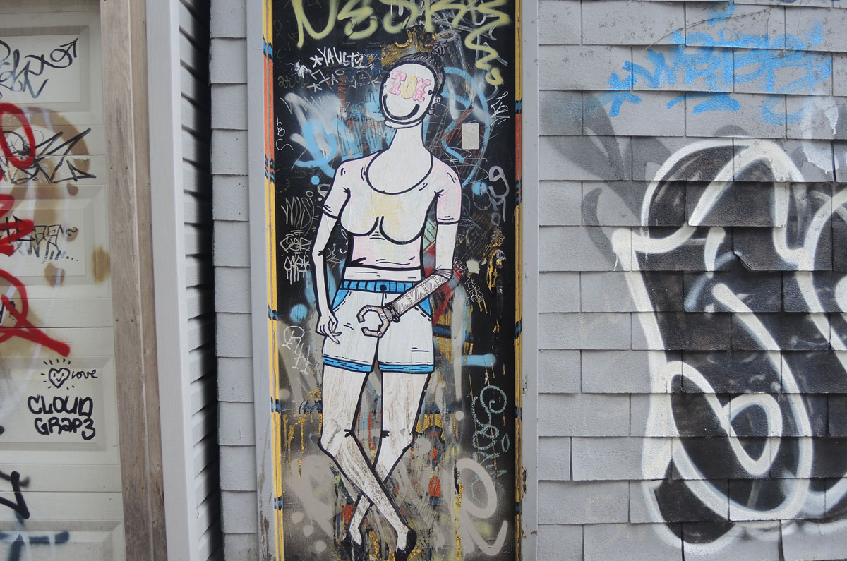
below: Don River
below: Pussy willows – One of the first signs of spring

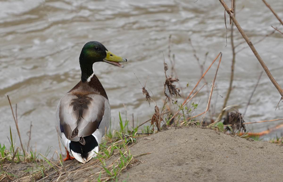
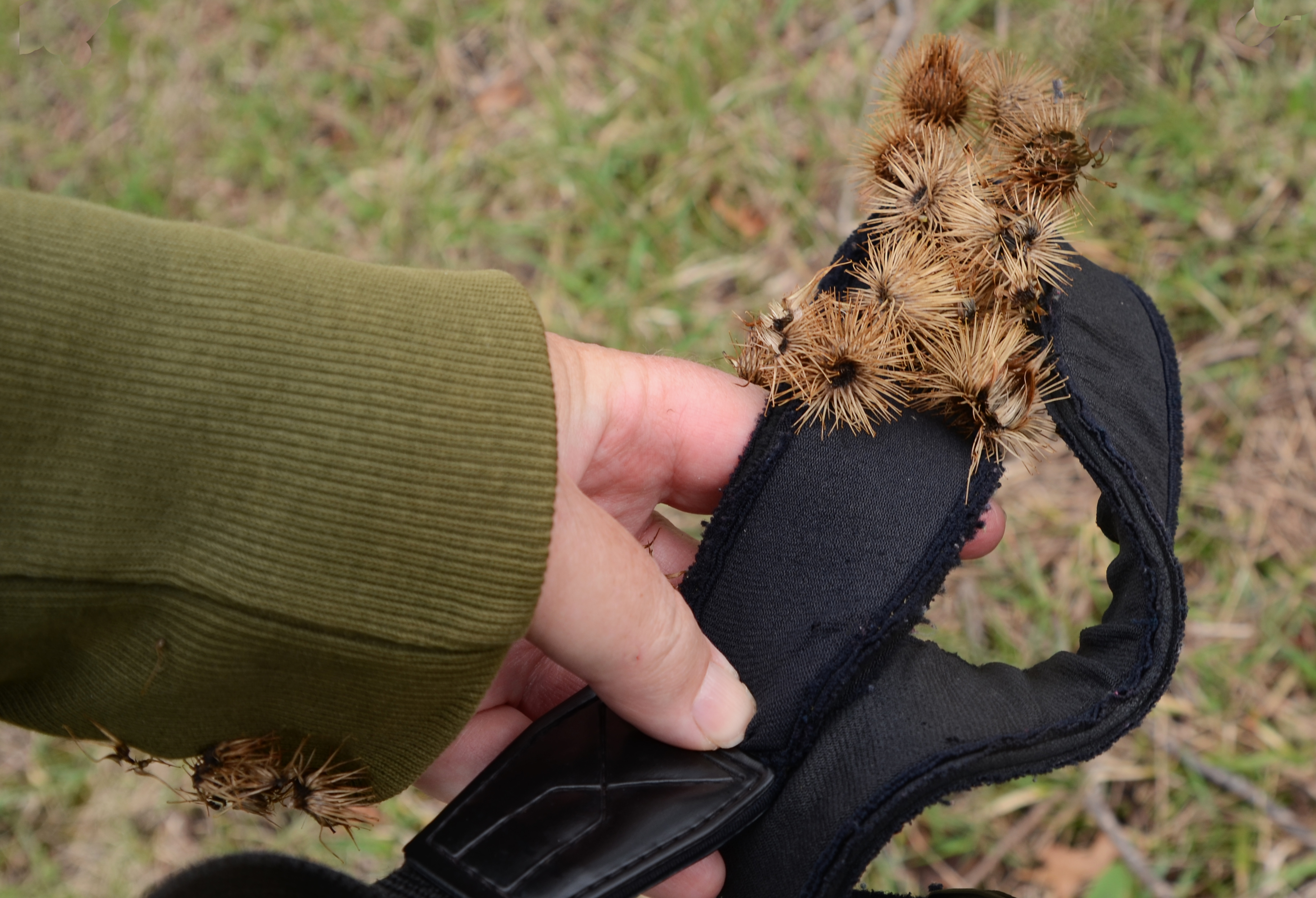
below: As I walked along the trail, I encountered this guy. He started getting agitated as I got close to the the river, but there was a photo that I was after…..
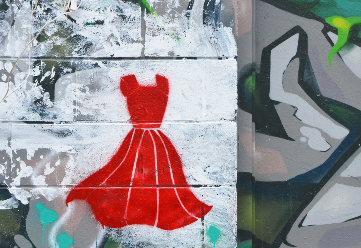
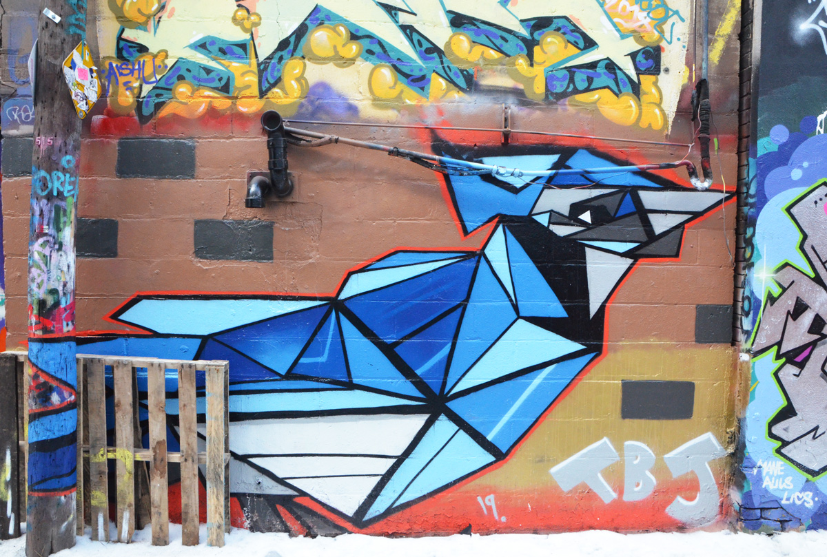
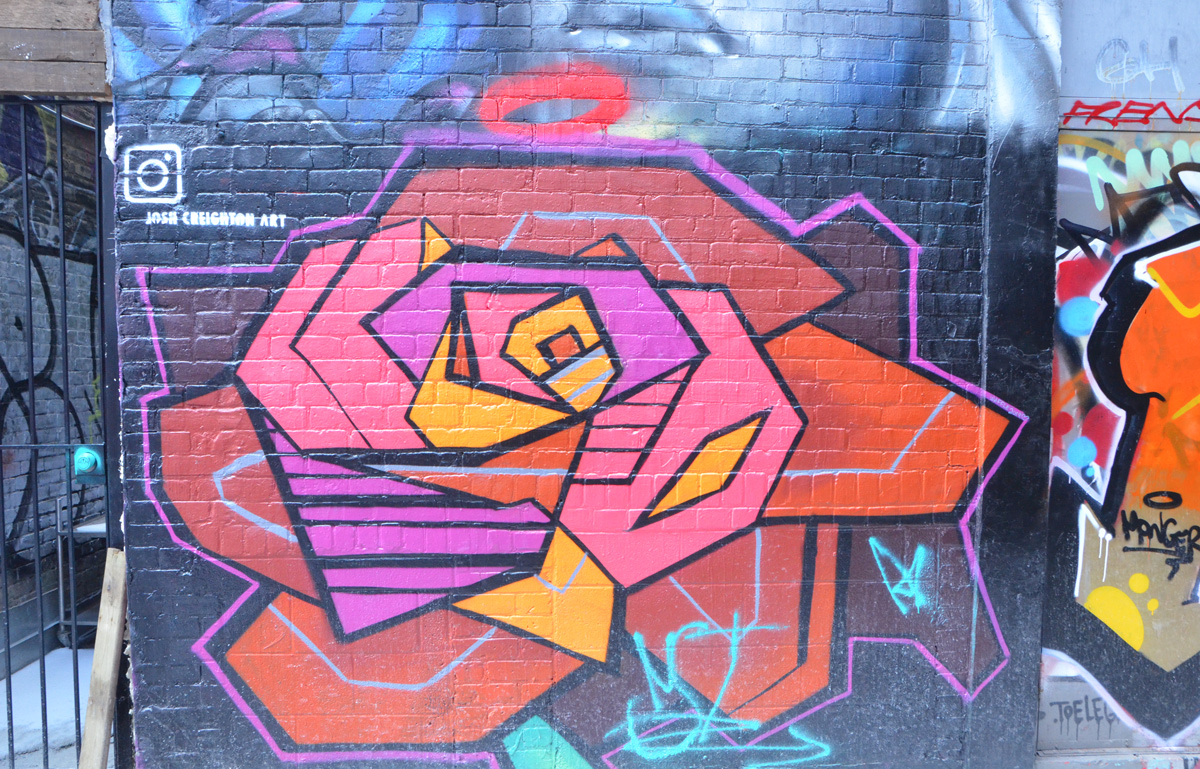
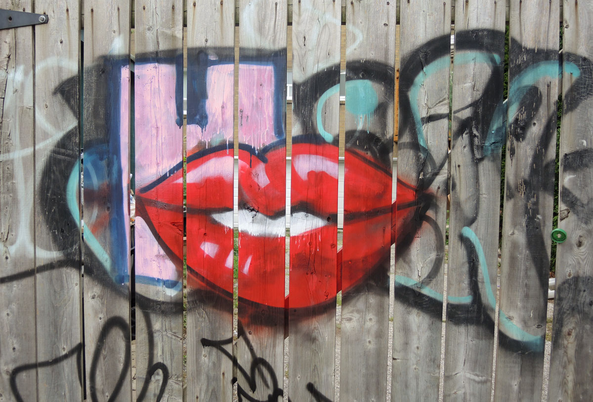
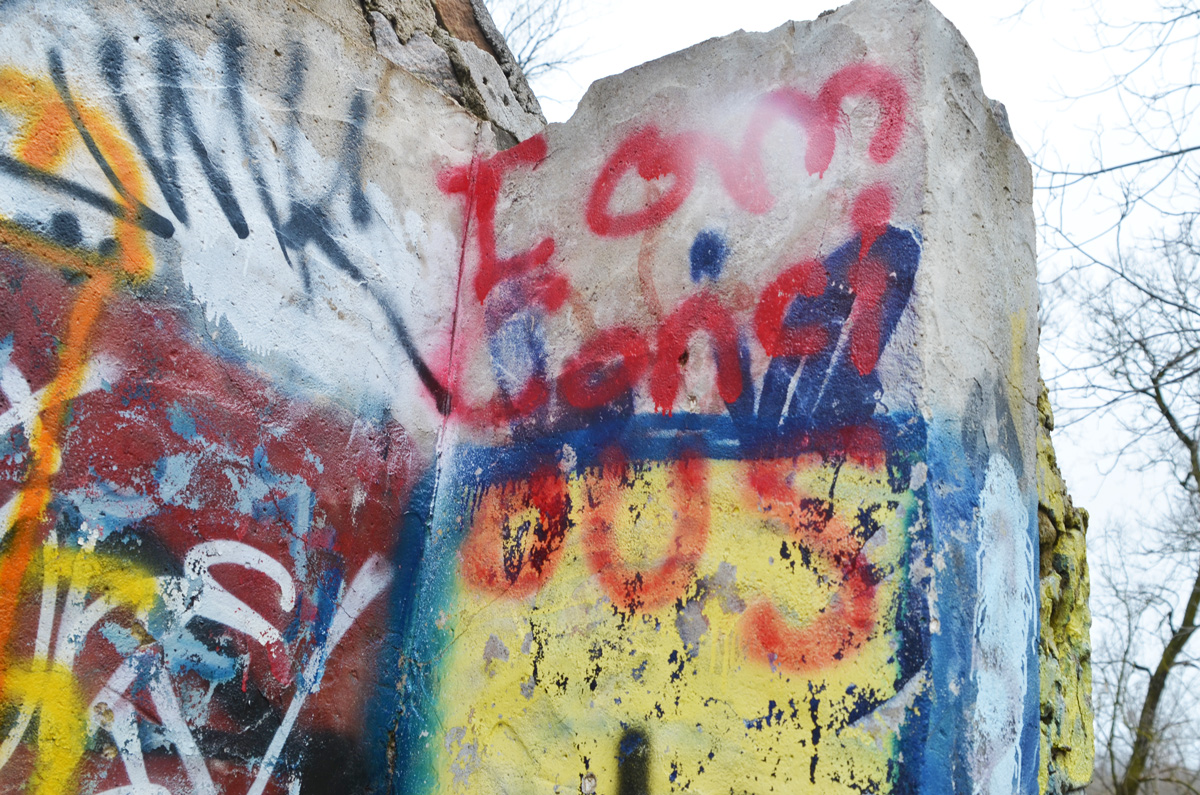
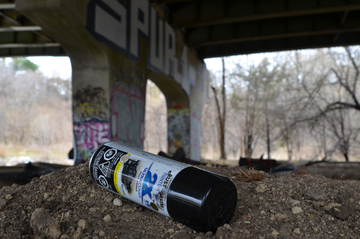
below: I had spotted colours through the browns and greys of the trees… graffiti covered ruins on the other side of the river.
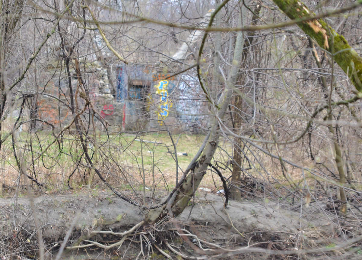
Of course I found my way across the river to explore them in more detail!
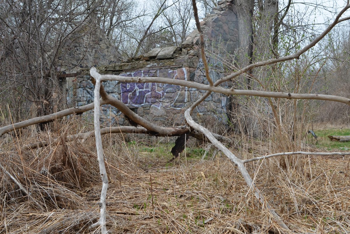
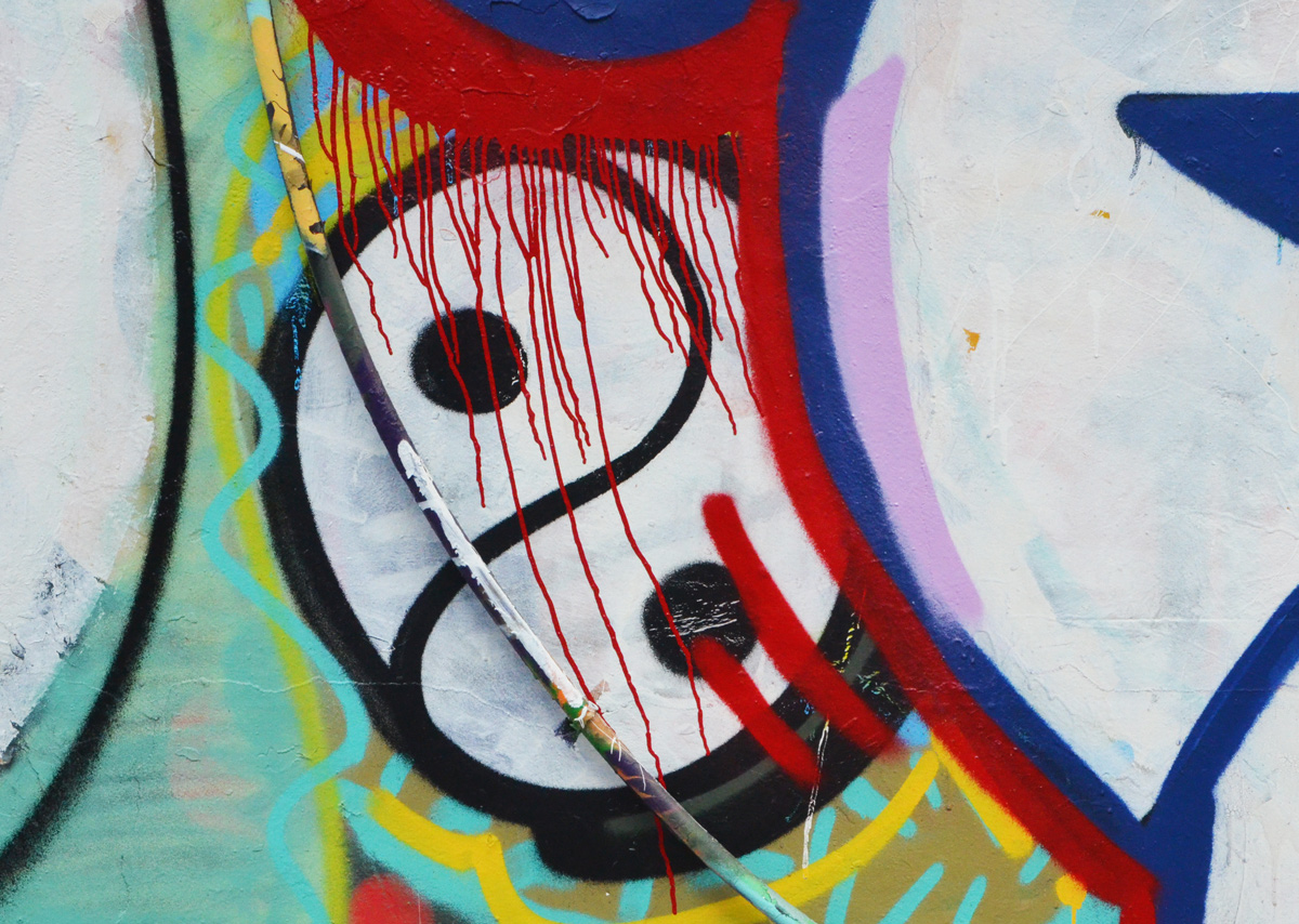
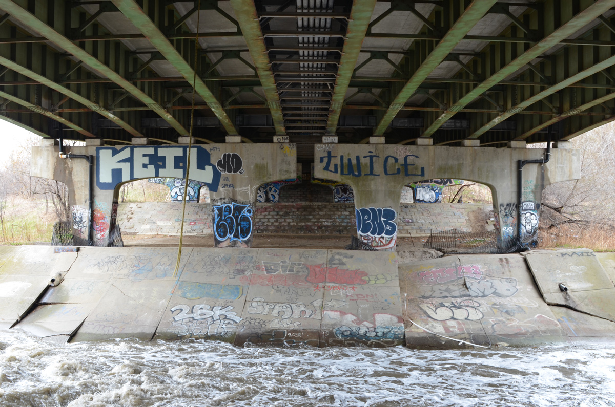
below: When I went looking online for information about this structure, I came across a blog post in Scenes from a City from 2013. It’s hard to see, but some of the graffiti remains unchanged 8 years later.

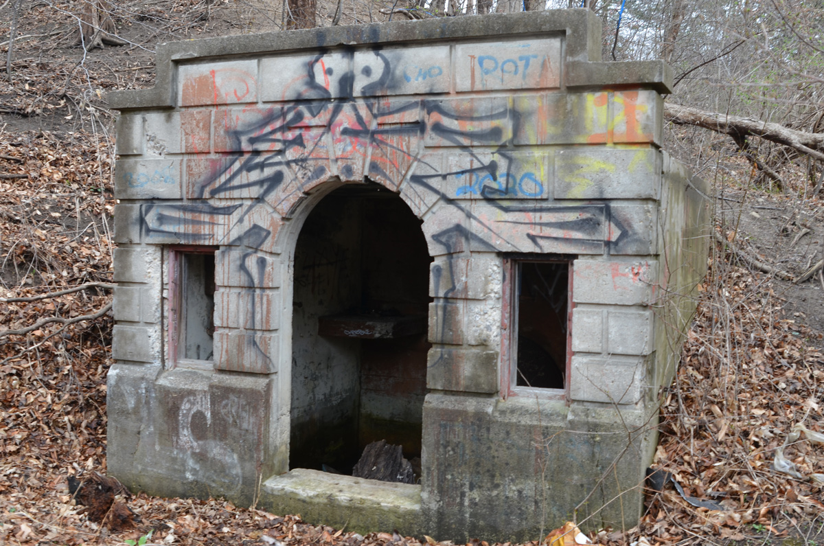
below: And right behind me I discovered a tunnel entrance built into the hillside
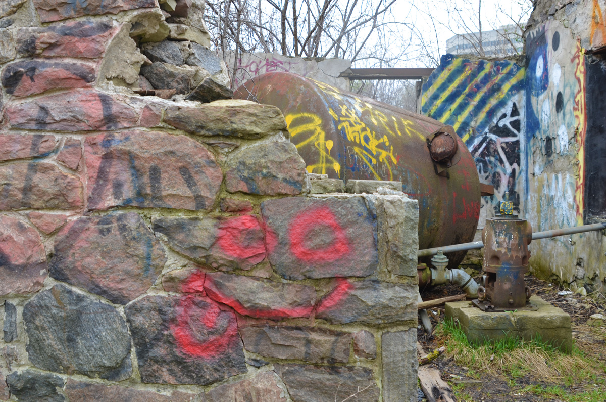
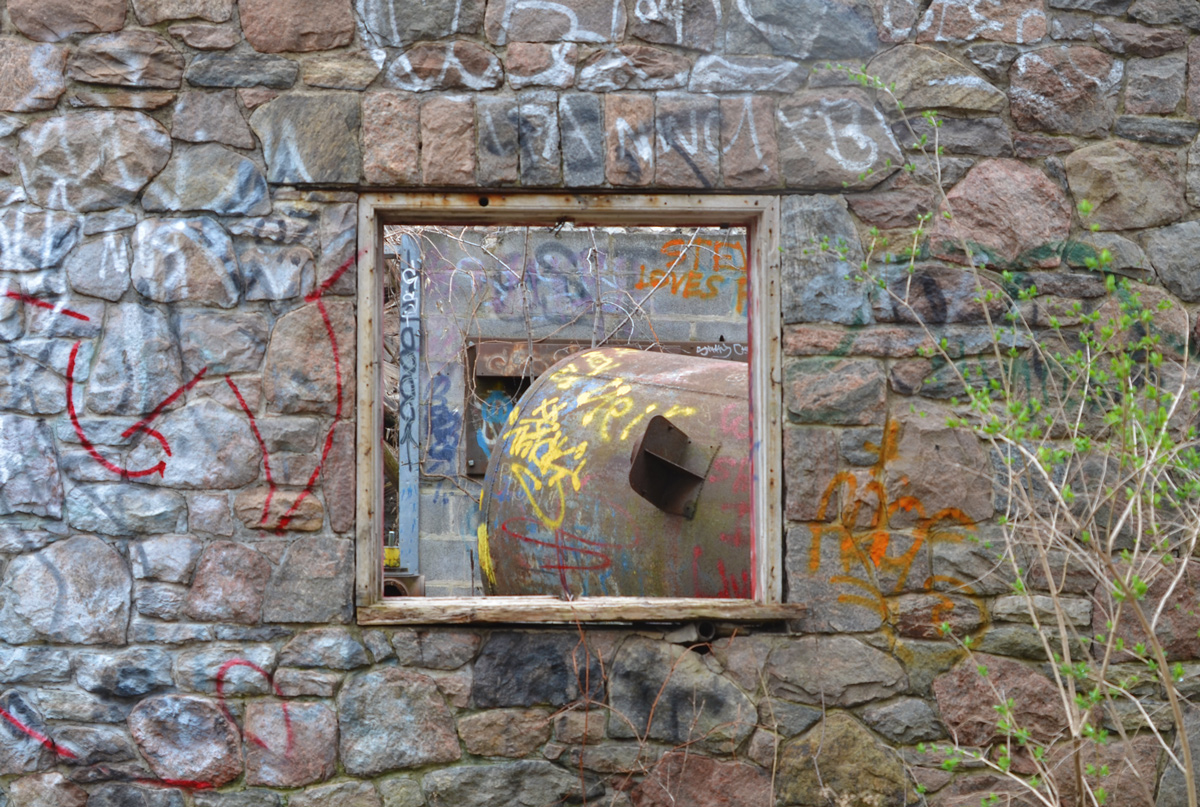
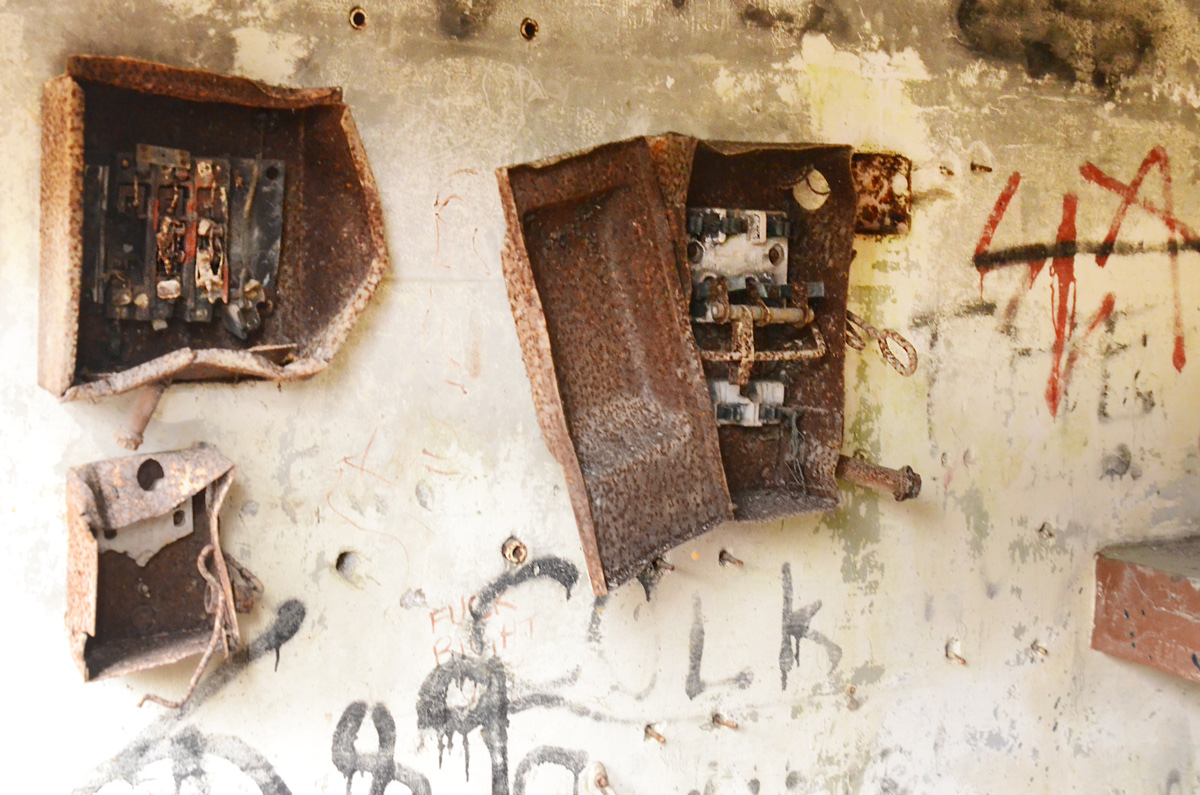
below: It was very dark inside so the quality of these photos is questionable, but I thought that the old rusty control boxes looked fascinating. How long have they been here?

The Betty Sutherland trail ends at Duncan Mill Road. I was trying to get as far south as possible, so rather than go up to street level, I went under Duncan Mill Road where my map showed that there was more green space.
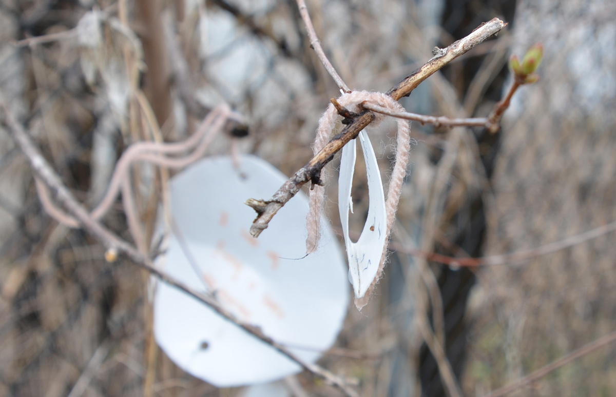
below: Wishes were written on pieces of paper, folded, and tied to a tree with pink yarn.
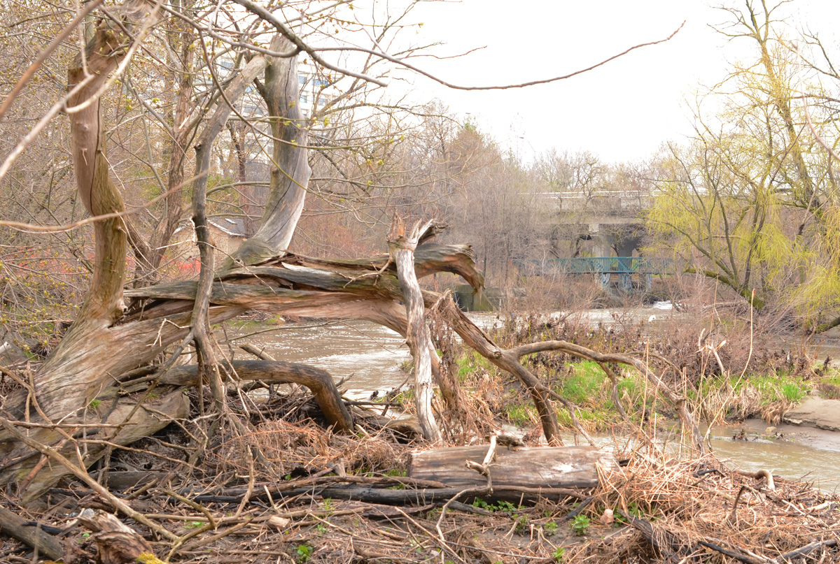
below: The tangled roots of a dead tree lie beside the Don River just south of Duncan Mill Road.
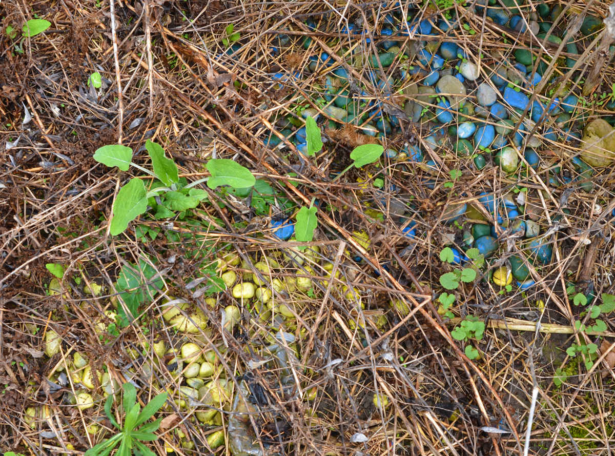
below: Blue and yellow rocks
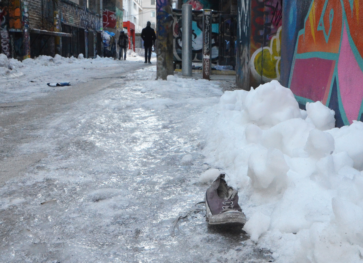
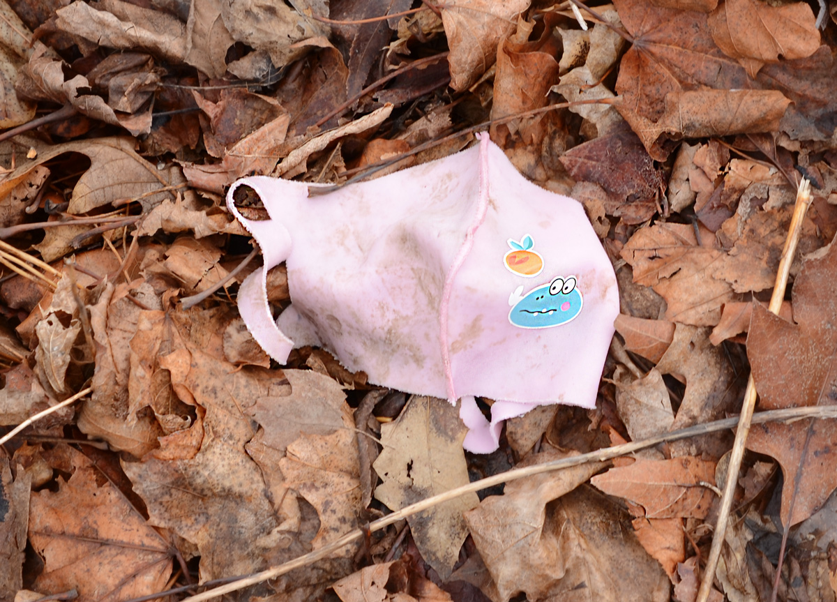
below: It wouldn’t be a walk without a (or several!) used mask lying around but this one is cuter than most.
below: Oh Oh
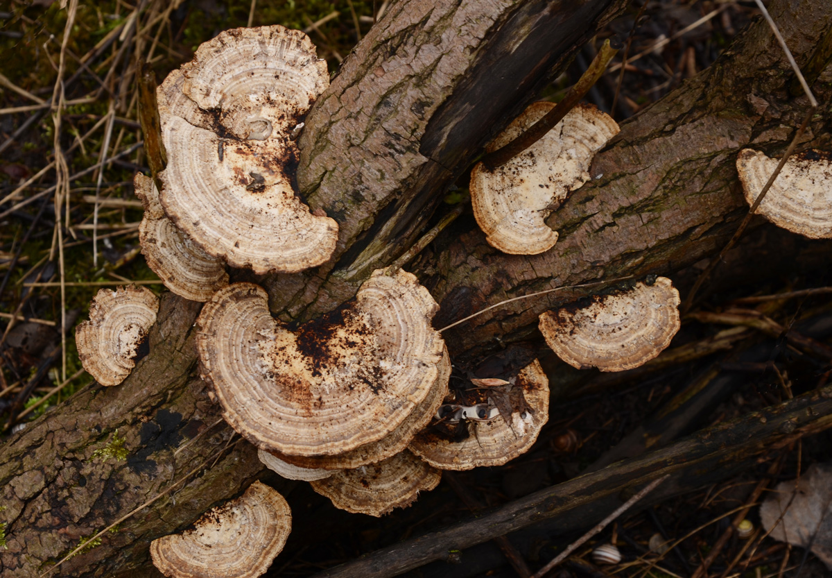
below: Bracket, or shelf, fungi on a dead tree trunk
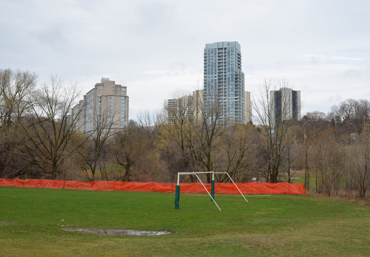
below: Playing fields alongside Moatfield
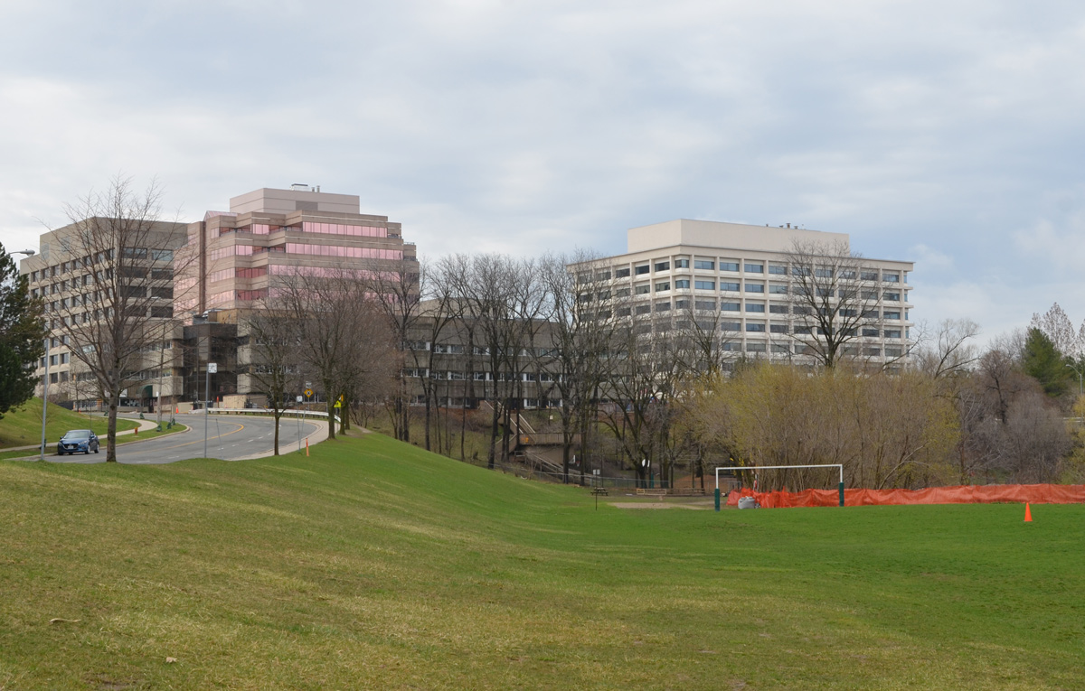
below: Looking east towards Graydon Hall
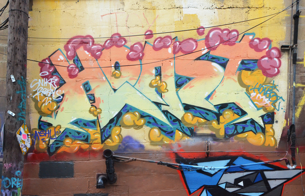
below: Now we are off the beaten track. That’s Don Mills Road with some graffiti on a pillar that beckons me forward. A few trees have been planted here but maintenance may be sporadic.
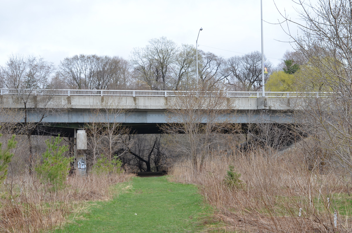
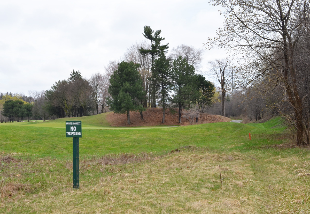
below: under the bridge


below: There was no problem getting under the bridge, but around the corner was an unexpected surprise – This appears to be the end of the line. Yes, it was green space but my map didn’t warn me that it was private! I didn’t have golf clubs with me so I wasn’t sure if I could sneak or bluff my way through – plus my car was behind me so it wasn’t worth the trouble to try.

“Betty Sutherland served thirteen years as an elected representative on North York Council until her retirement from politics in 1985. From 1979 to 1985, Mrs. Sutherland was a member of Metropolitan Toronto Council and the Metropolitan Toronto and Region Conservation Authority. Devoted to the improvement of recreational opportunities for citizens and visitors, Mrs. Sutherland was Chairman of Metropolitan Toronto Parks, Recreation, and Property Committee from 1982 to 1985 and a member of the Authority’s Don Valley Advisory Board from 1981 to 1984. The naming of this trail is a symbol of the significant contribution she made to Metropolitan Toronto’s regional parks.