


more changes, more demolition
From Leslie to Cherry, Commissioners Street runs through the middle of the Port Lands, or at least it used to. The re-making of the mouth of the Don River involves a new waterway that cuts Commissioners into two sections. This blog post is a quick look at the east side.

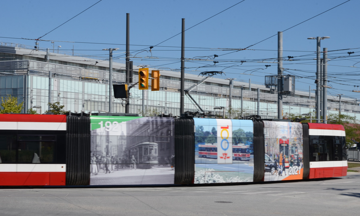
below: TTC streetcar leaving Leslie Barns at Leslie and Commissioners- celebrating 100 years.
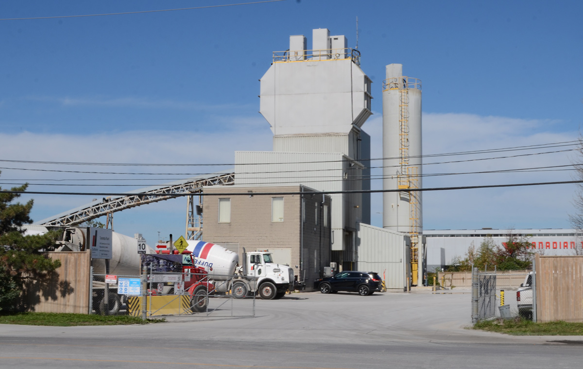
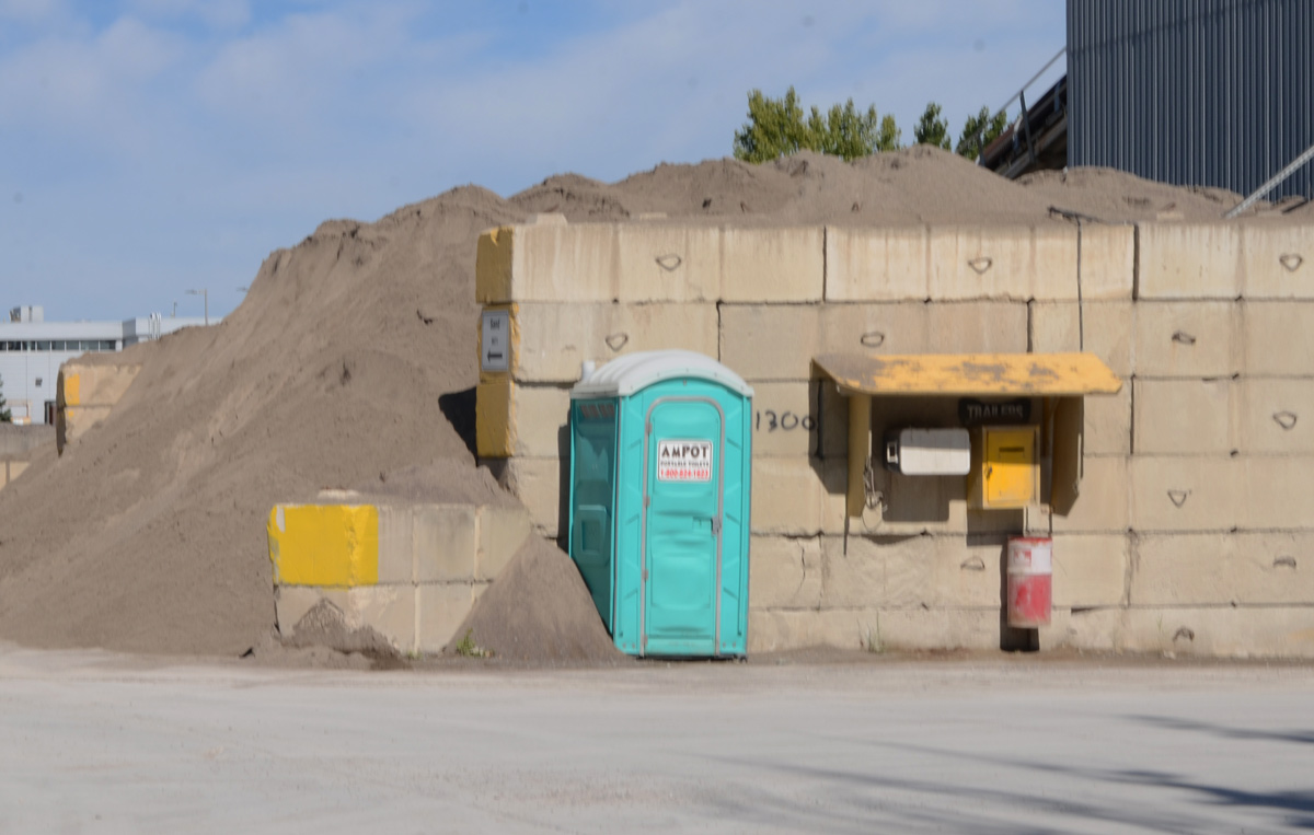
below: There are a lot of cement mixers in the area!

below: Canada Post has a large presence in the area too. A series of images of stamps featuring Canadian birds, such as this black-capped chickadee, decorate the exterior wall of one of their buildings.

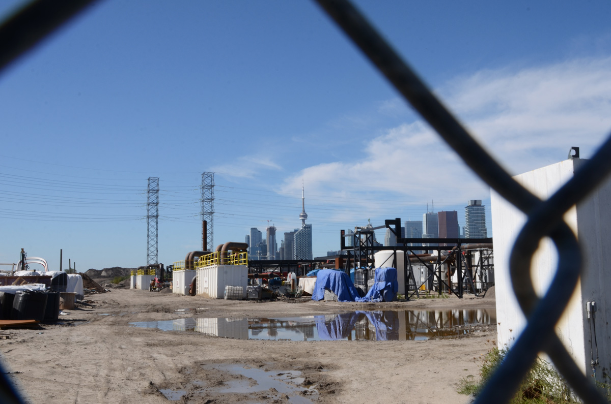
below: Portlands Energy Center on the other side of the Shipping Channel. This is natural gas powered electricity generating facility. It also has a steam turbine generator that allows it to make electricity using steam from waste heat.

below: Commissioners Street now ends at Saulter
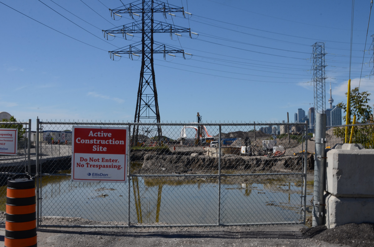
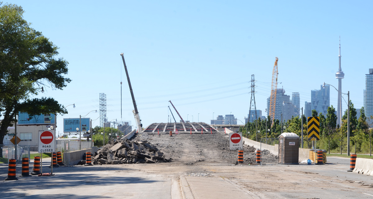
below: The new bridge has been delivered and sits at the western end of Commissioners, on the other side of the gap. Soon(?) that gap will be part of the new route of the Don River.

below: Looking north on Saulter Street towards Villiers Street. Metal beams from the Gardiner are being lowered to the ground.
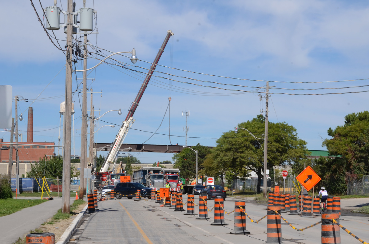
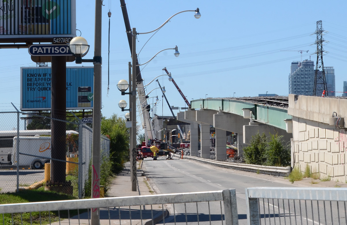
below: New utility poles on Saulter, with another view of the Gardiner demolition.

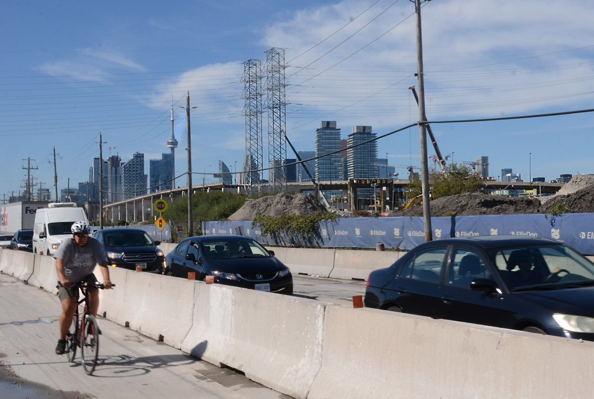
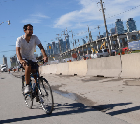
below: Saturday traffic on Villiers. The Lakeshore is closed on the weekends to facilitate the dismantling of the Gardiner. Yes, it does cause traffic issues and confusion!
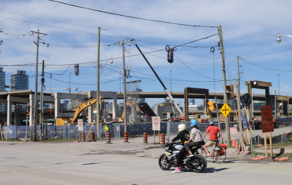
below: Looking north on Don Roadway from Villiers


below: Some of the concrete bents from the Gardiner still stand as does the curved elevated ramp from the Gardiner to the DVP.
below: An abrupt end

below: Crane demolishing a concrete bent beside the Keating Channel.
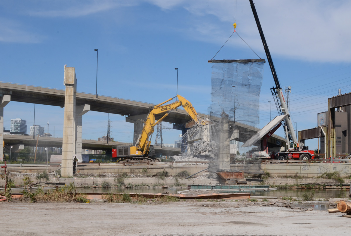
below: An older photo from 2015 showing the Gardiner Expressway on the north shore of the Keating Channel with the Lakeshore below. The yellow crane in the image above is close to where the blue barge is in this picture (but on the shore side!). The supports for the Gardiner over the mouth of the Don River are metal (the greenish coloured two on the right side of this photo), not concrete like the others. These metal supports is at the right edge of the photo above.

photo taken in 2015

below: When the steel beams are removed, they are first trimmed and cut in half.
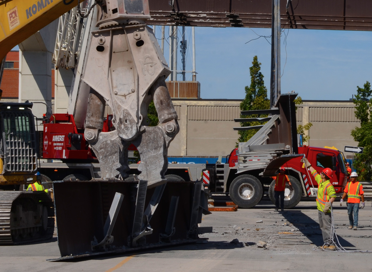
below: They are then hauled away to another site where they are cut down even more.

below: Standing in the middle of Lakeshore Blvd and looking west. Remains of the Gardiner.
below: Side view, Lakeshore with remnants of the Gardiner rising up beside. Soon to be gone.

What’s the overall intention of the re-working of the mouth of the Don? Is it to restore a more natural, more eco-beneficial contour?
I think so. Flood prevention is also a priority as they get ready to redevelop more of the Portlands. Also part of the Gardiner is coming down and Lakeshore is being re-routed.