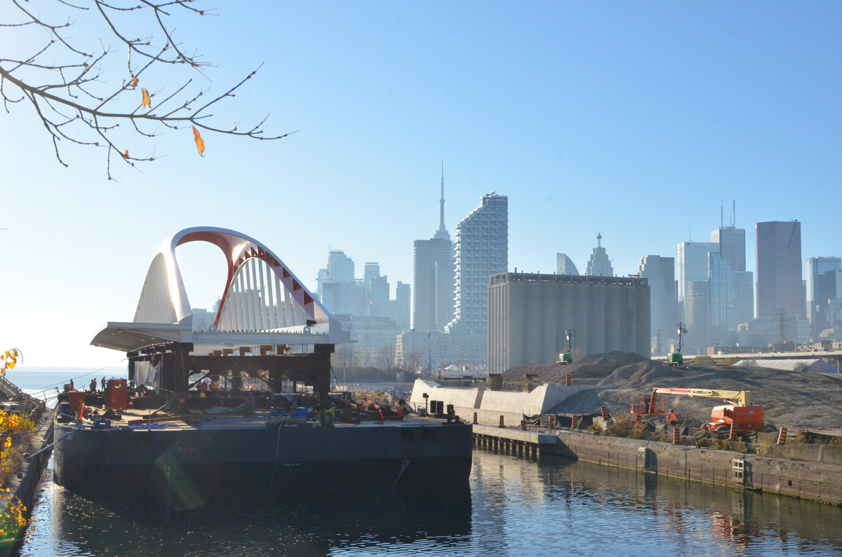
The latest attraction is the new Cherry Street bridge pictured here just after its arrival by barge from Nova Scotia where it was manufactured by Cherubini Group. It’s a shiny white steel bridge with a red racing stripe. It is 57 metres long and wide enough to carry LRT tracks and a pedestrian walkway. Another identical bridge to go beside it for road traffic comes later.

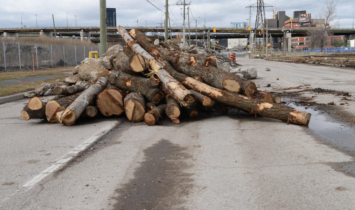
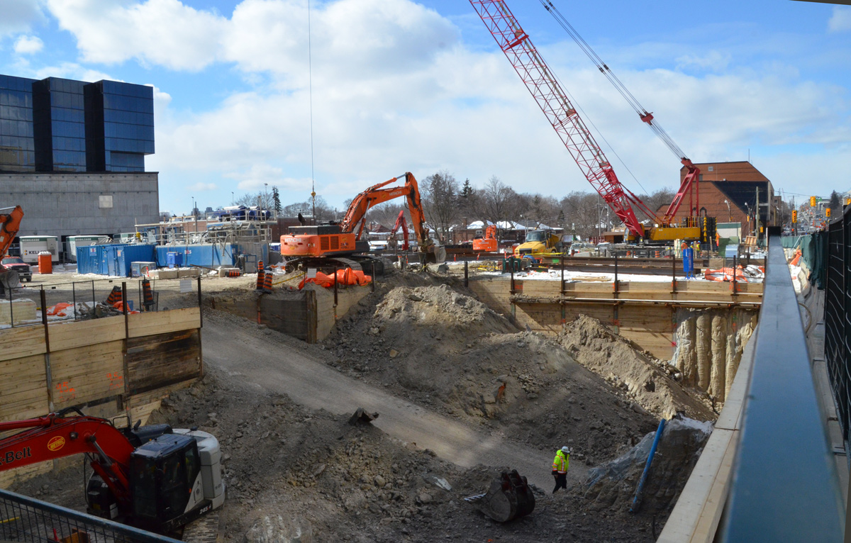
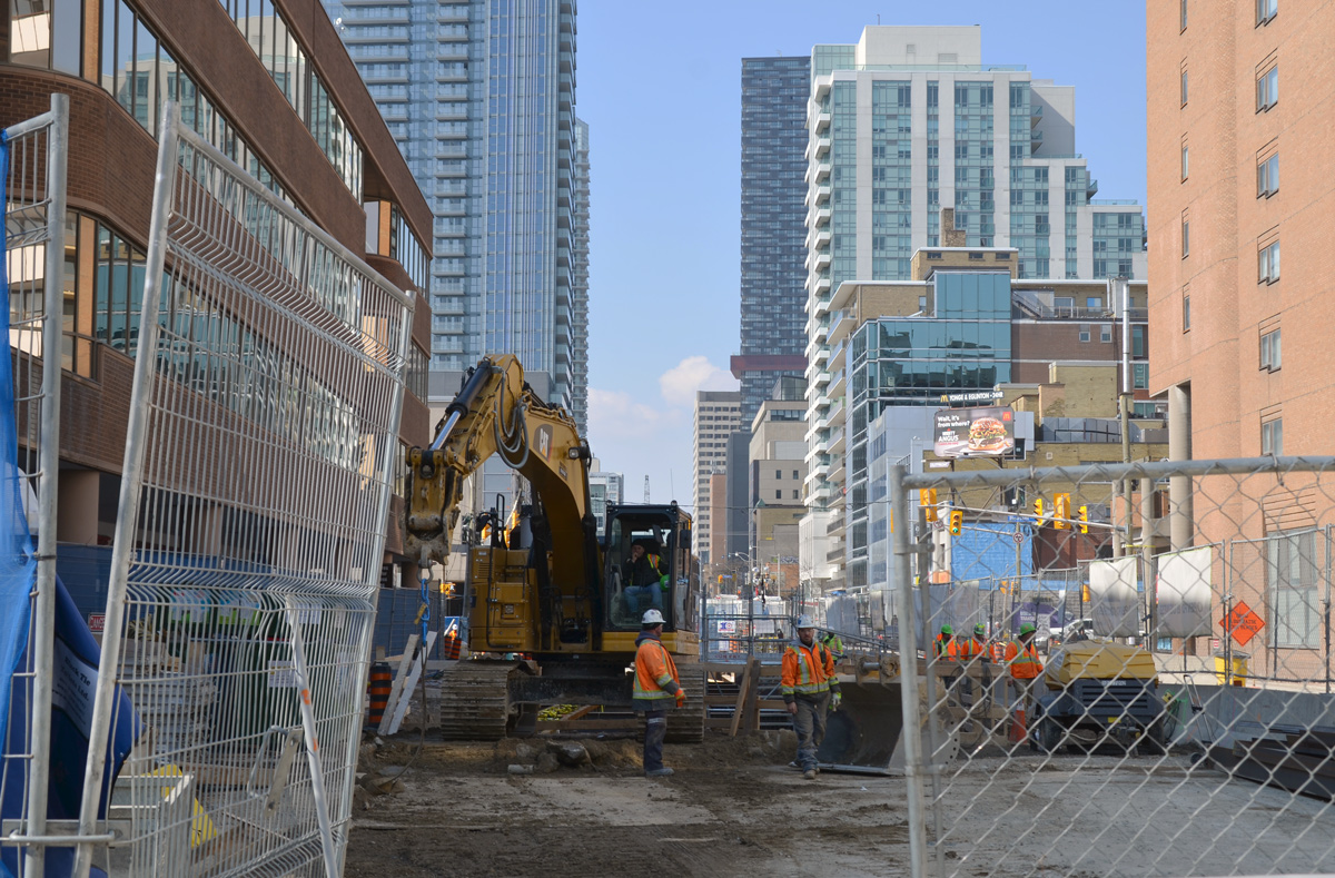
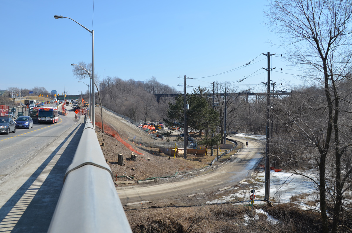
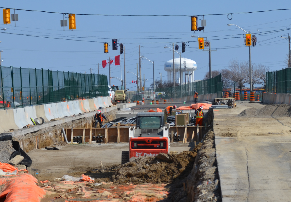
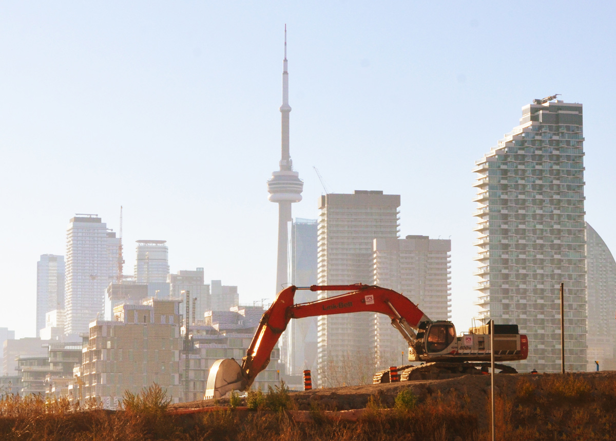
below: Digging up the city. Sometimes it seems like we are living in one big construction zone.
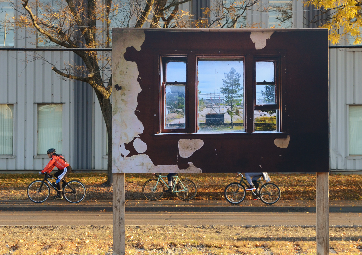
The bridge is not the only “sight” at the Port Lands. There is also a photography exhibit of pictures taken of the buildings before they were demolished. ‘Framework’ by Vid Ingelevis and Ryan Walker. This is part of the CONTACT Photography Festival that was originally scheduled for May.
below: Interior, 130 Commissioners Street (Coopers Iron and Metal, an old metal recycling facility). The photograph is mounted on the roll-up door of one of the ESSROC cement plant silos – now a heritage site.

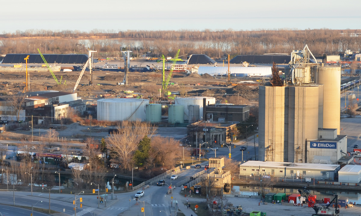
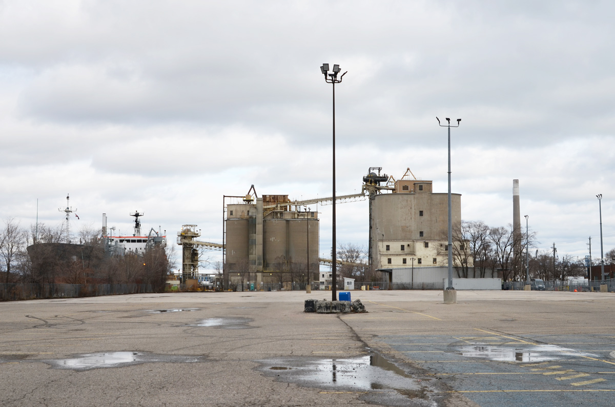
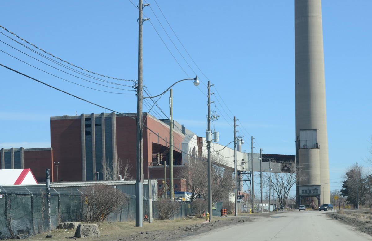
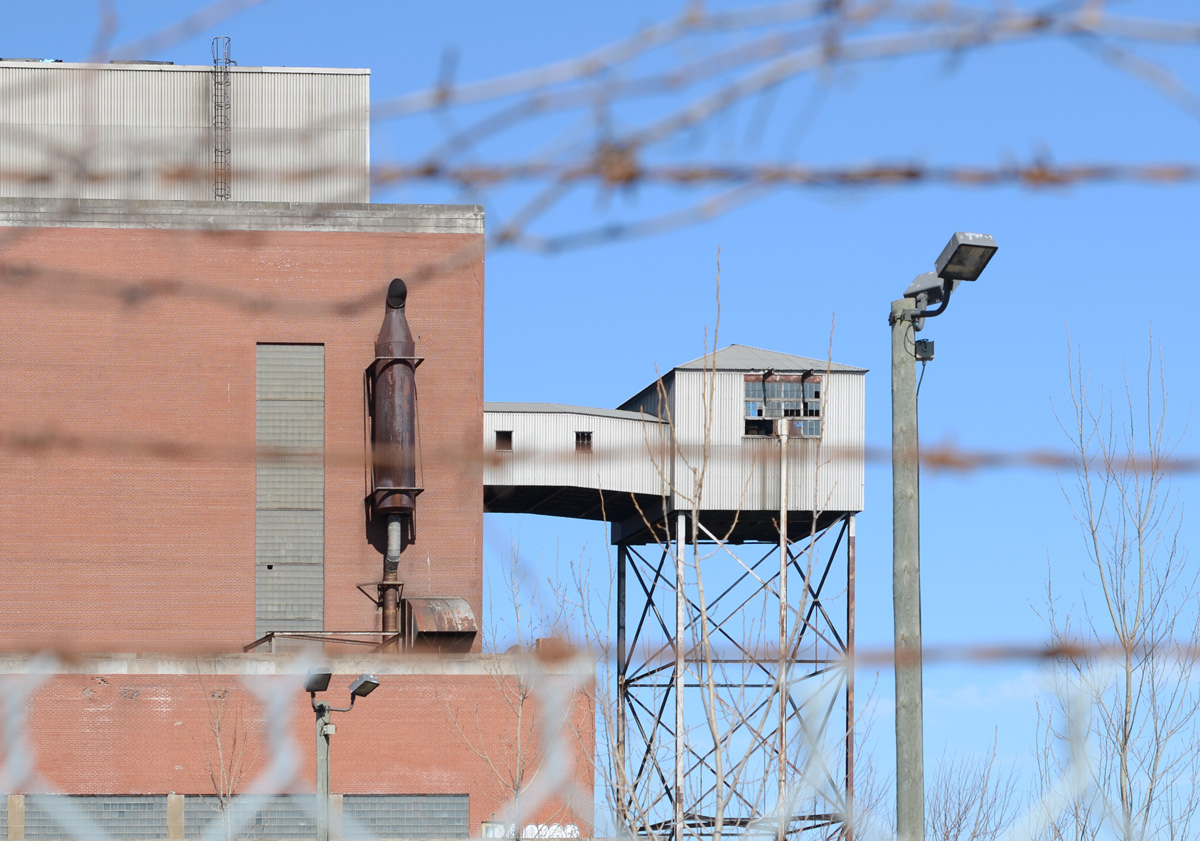
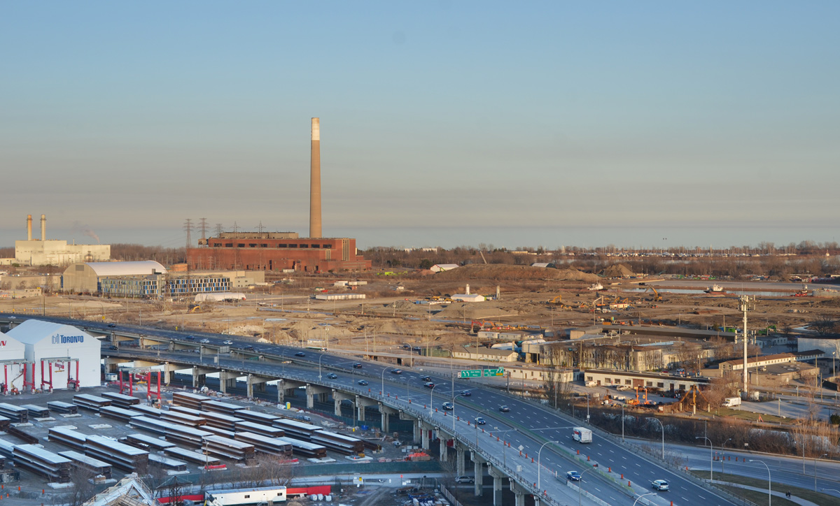
below: Cleaning the streets. The ESSROC silos dominate the streetscape here on Cherry Street (looking north towards the condos in the Distillery District).

below: The back of one of the few remaining buildings as seen from Cherry Street. It fronts onto Munitions Street.
below: Cherry Street bascule bridge in the upright position. Most of the Framework exhibit is down the center of Villiers Street on top of the remains of the old railway line. There are five panels like this one, each with a picture on both sides.

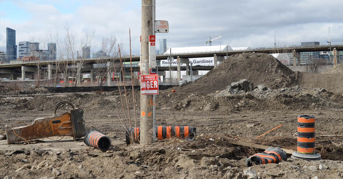
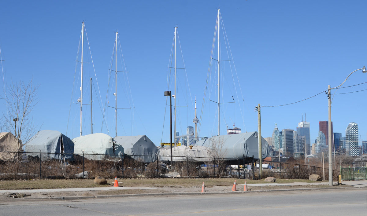
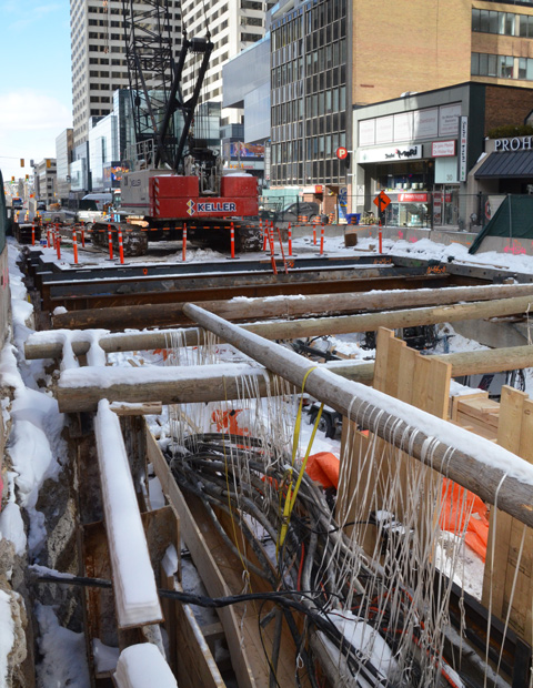
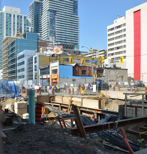
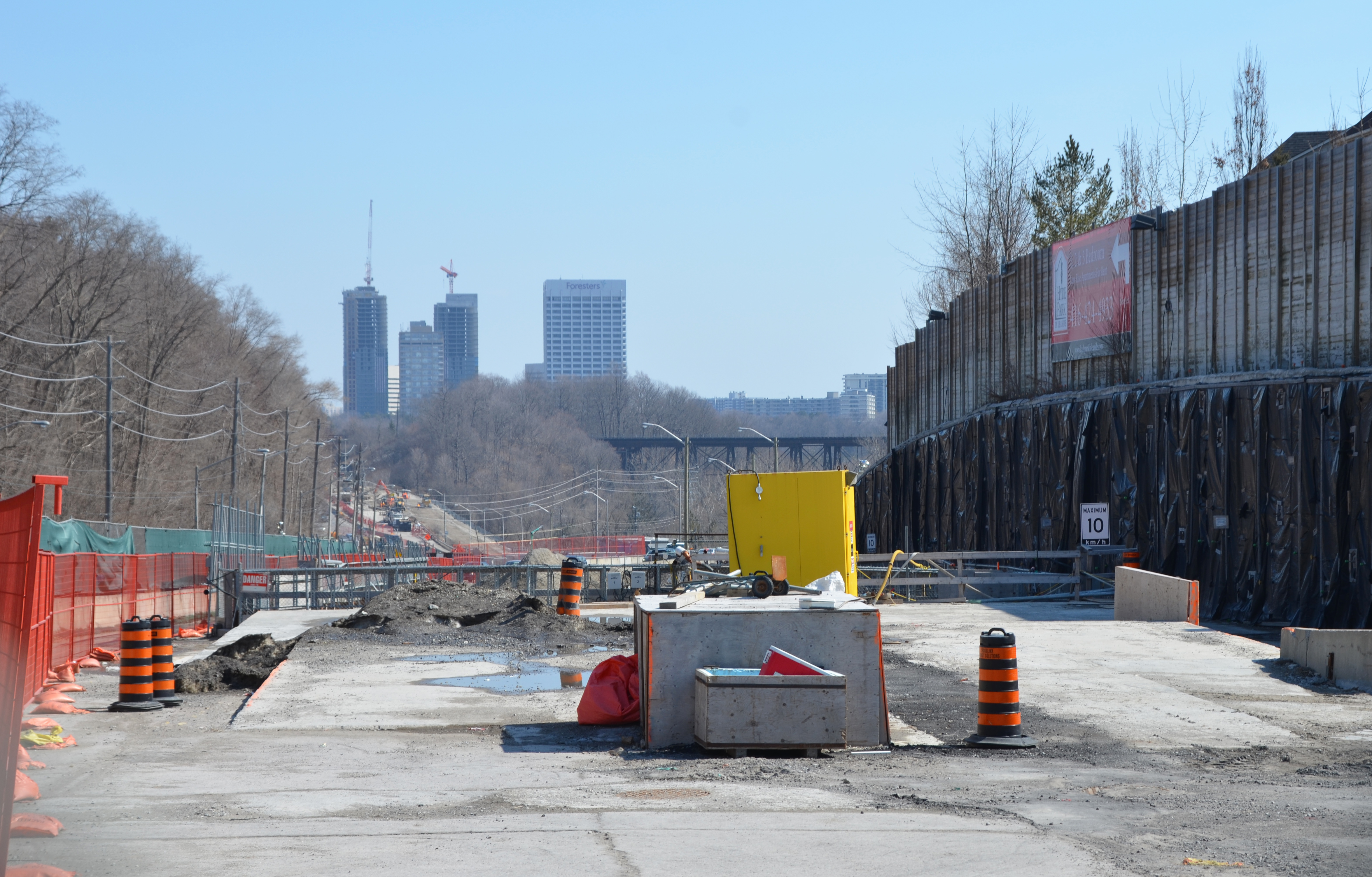
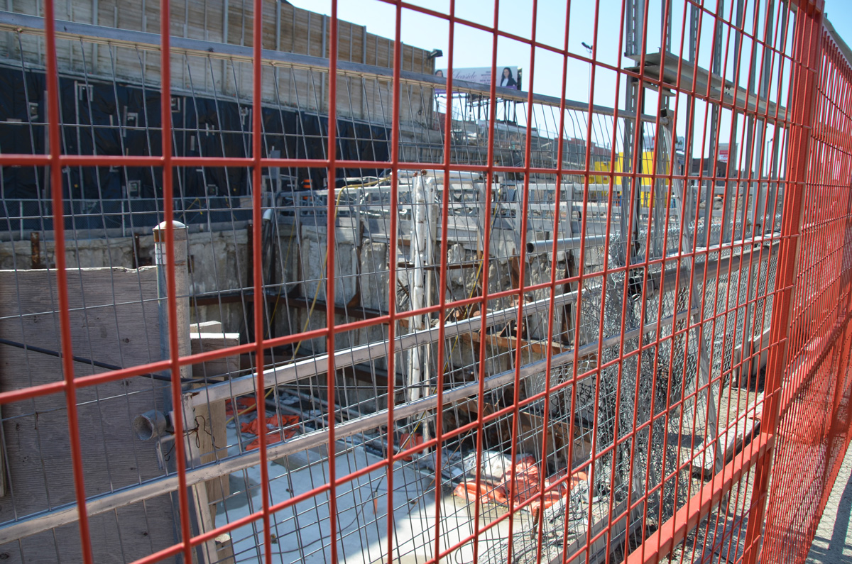
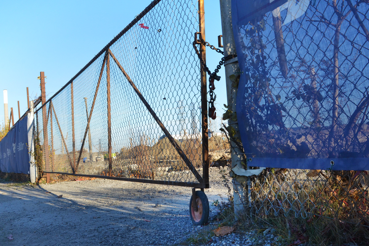
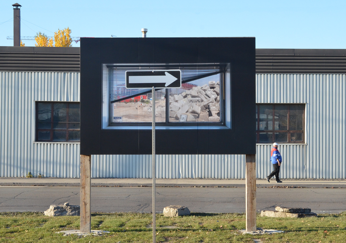
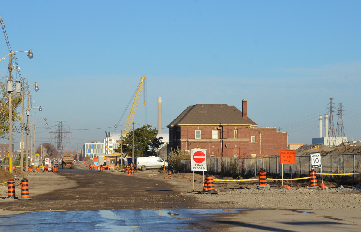
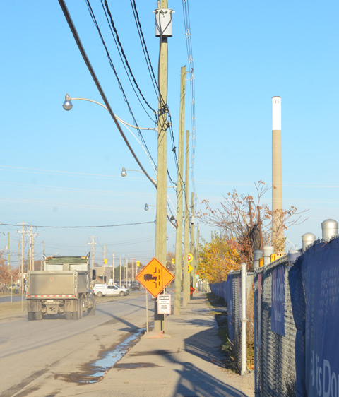
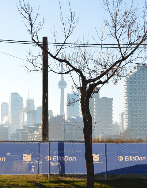
below: Most of the Port Lands redevelopment is occurring behind fences.

below: A very large spike!


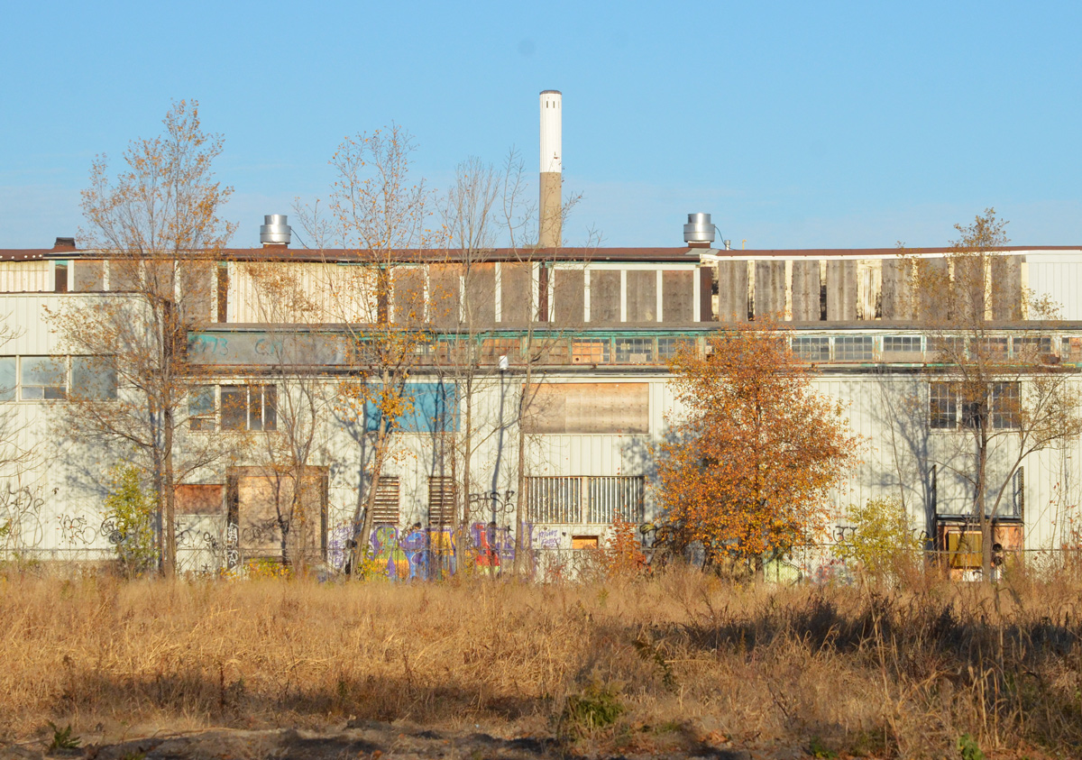
below: 130 Commissioners Street, September 2019

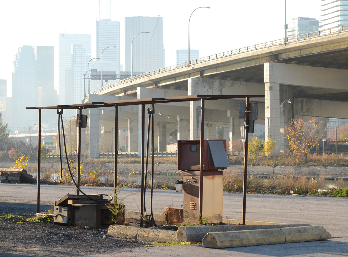
below: Abandoned gas station with its rusting gas pump.
below: 99 Commissioners Street, July 2019

below: 97 Commissioners Street, August 2019
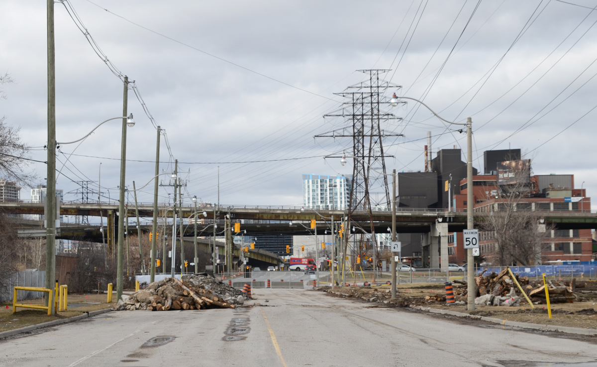
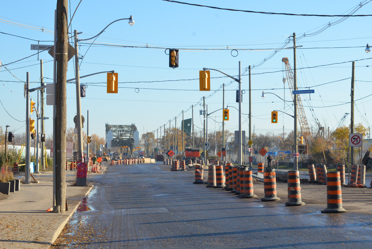
below: Commissioners Street closed to traffic.

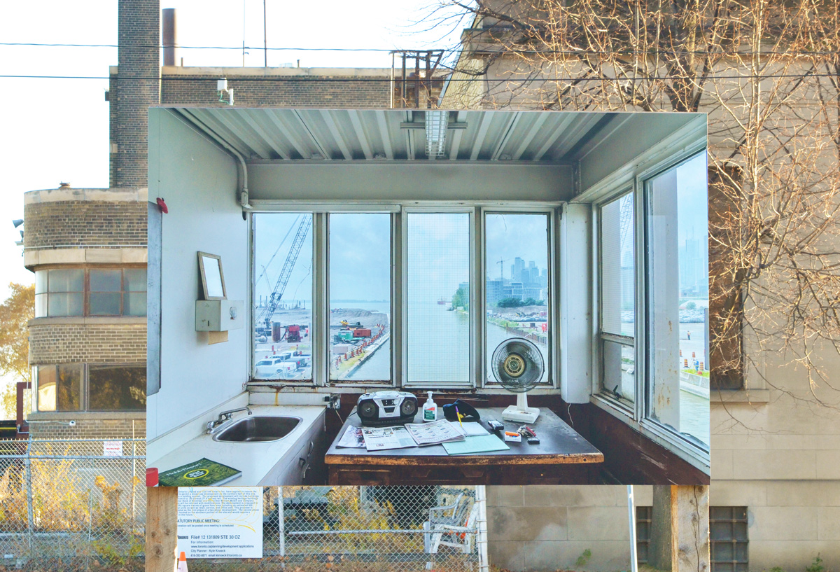
below: Control room, Cherry Street bridge, July 2019


below: 130 Commissioners Street, September 2019

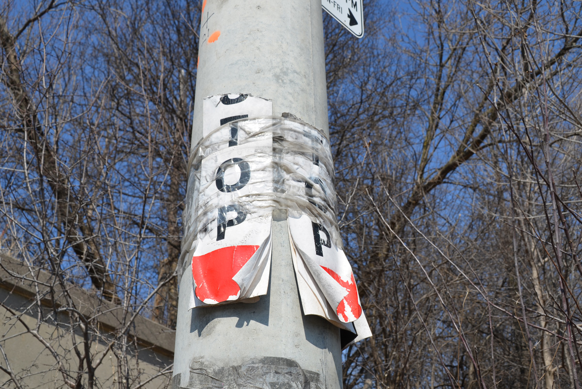
below: An old Urban ninja squadron sticker on a TTC bus stop sign

below: Dump truck on Villiers Street
Later: Just before sunset, the new bridge in the Keating Channel. It has since been rotated ninety degrees into the proper alignment for the new segment of Cherry Street. This job was made it easy by the fact that the bridge was mounted on a large turntable on the barge. It now has to be welded into place. The old bastule (lift) bridge now in place is slated for demolition in late 2021.

‘Framework’ will be on display until August 2021.