Posts Tagged ‘abandoned buildings’

Toronto’s old industrial buildings are disappearing.   So when I saw the tall brick chimneys near St. Clair and the Danforth I had to stop and take a closer look.

brick chimney with CLM painted on it, beside other industrial buildings

CLM stands for Canadian Line Materials, also known as CLM industries.  It was a division of McGraw-Edison Ltd and they manufactured electrical equipment.   One of their contracts was with the Canadian Government to build air raid sirens.  CLM was sold in 1985 and no longer exists.

below: Back in behind, part of the parking lot has been given over to the Scarborough Community Garden.

Scarborough Community Garden, raised boxes for growing vegetables, lots of produce, in parking lot of industrial building, church across the street with solar panels in the shape of a cross

below: In the above photo you can see the solar panels on the roof of the Scarborough Church of God that is across the street from the old CLM buildings.  Construction of the church began in 1958 and it was dedicated in March 1960 as the Scarborough Junction United Church.  The blue sign indicates that this is also the home of the Scarborough Grace Harvest Church (Korean).

A frame brick building with brown roof, Scarborough Church of God. Solar panels on the roof in the shape of a cross

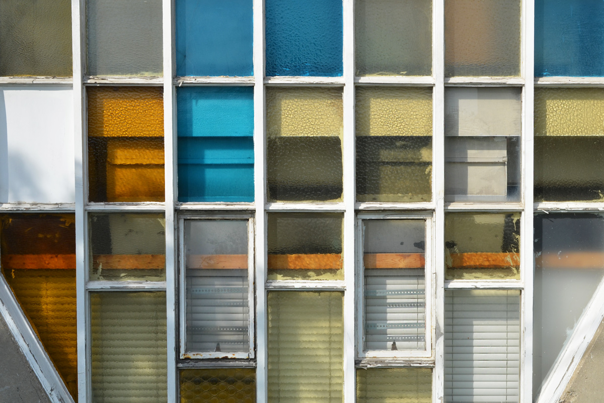
below: Side windows on the church

coloured and textured windows of a church

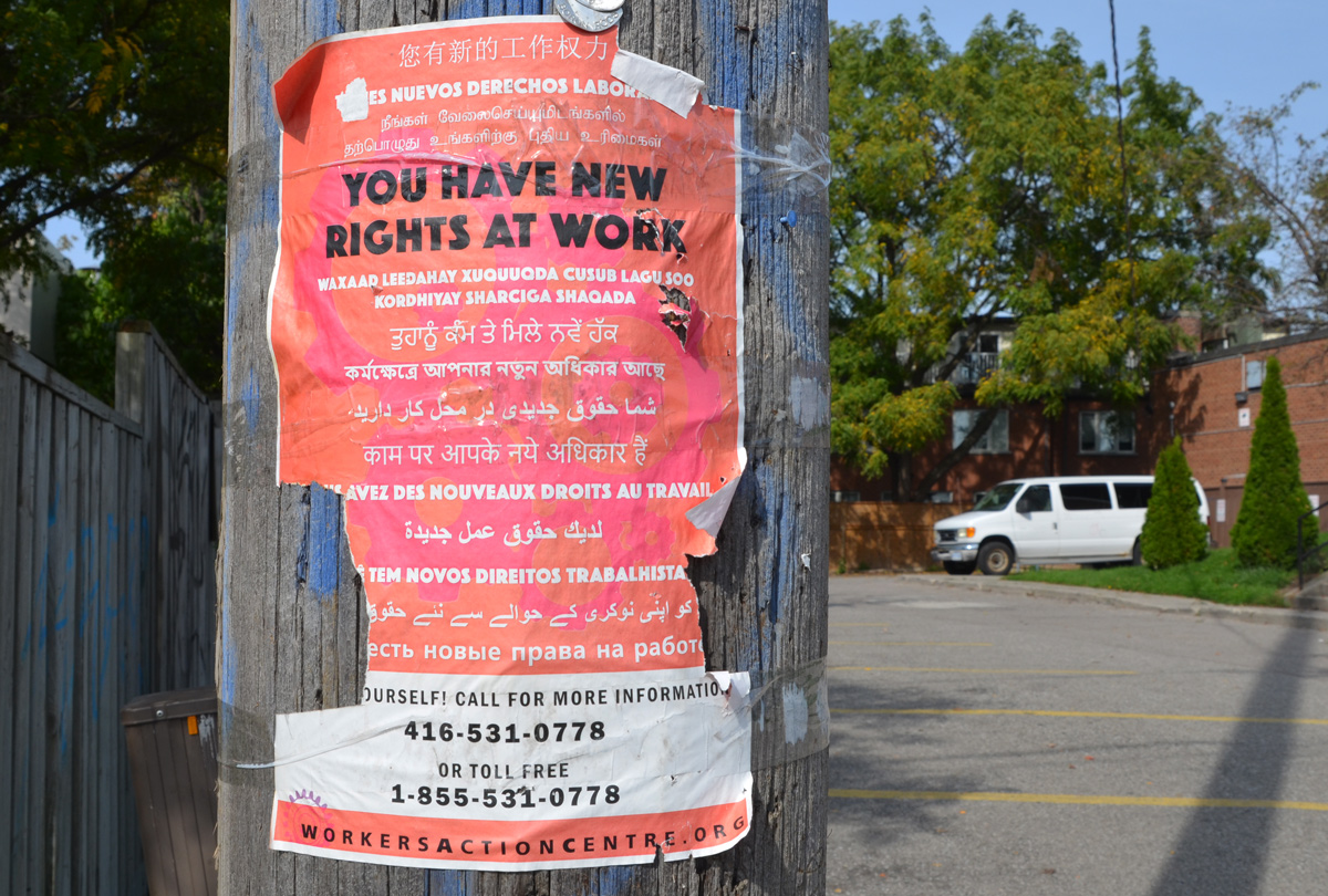
below: A reminder of how diverse Toronto is – Workers rights in many languages

poster on utility pole advertising workers action centre, and new employee rights, in many languages

below: “Known as best psychic and spiritual healer in Toronto”

poster advertising Indian psychic

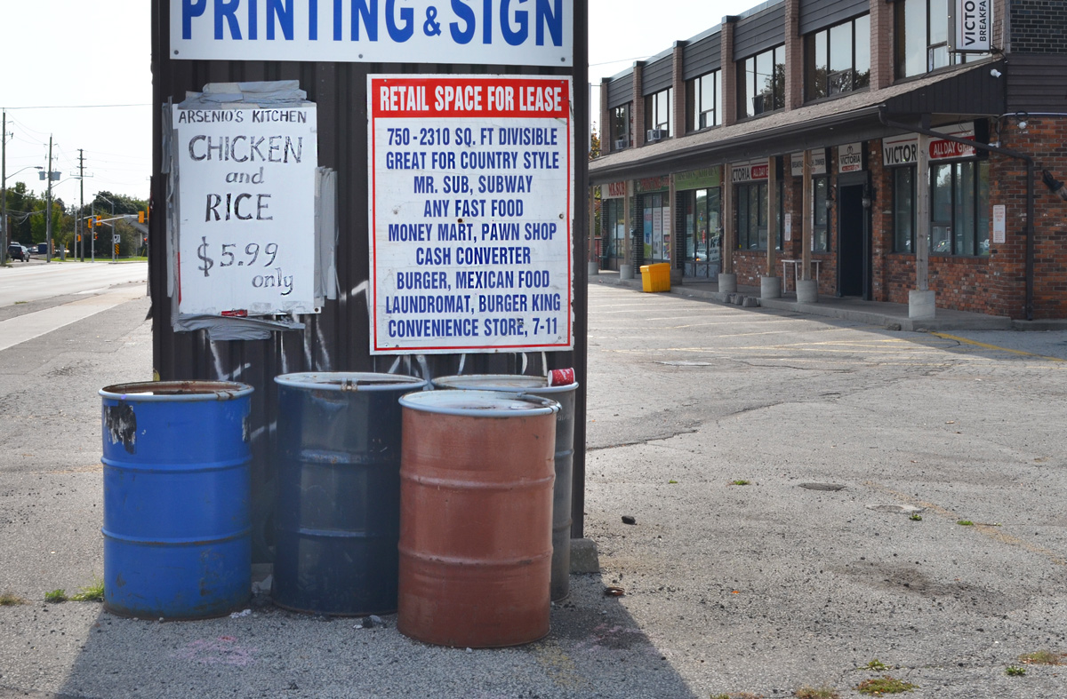
below: Arsenio’s Kitchen has chicken and rice for $5.99

metal barrels beneath two signs. one advertising chicken and rice for 5 dollars and 99 cents. The other sign says space for lease in a strip mall plaza

below: Fuel stop – gas for the car and a roti for you

Gulf service station at Kennedy and St. Clair. Gas at 1.43 a litre, also butter chicken roti fast food with roti of the week sign

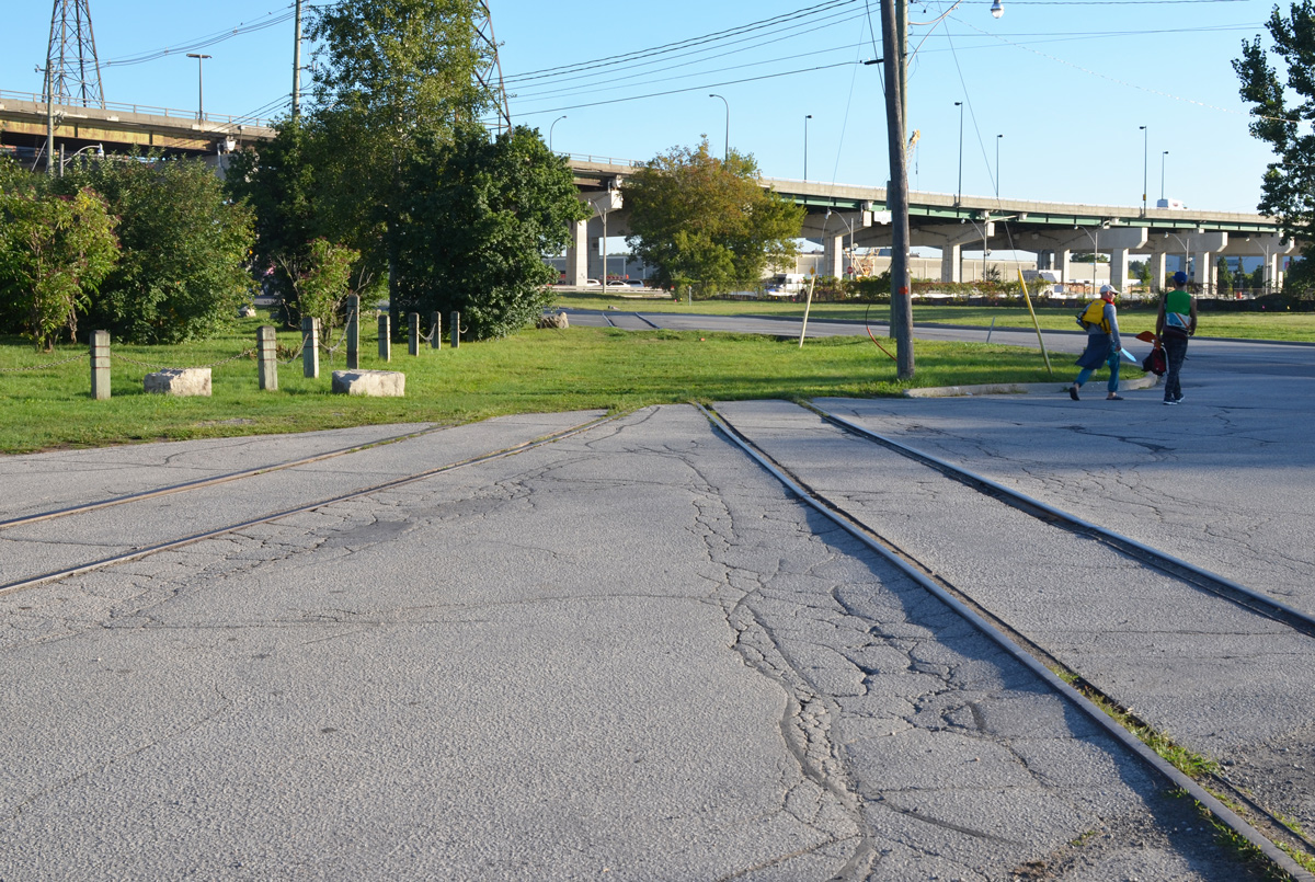
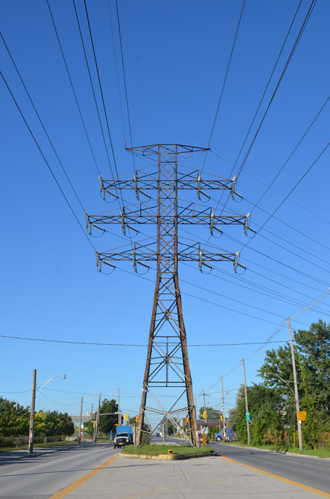
Just to the west, Kennedy Road crosses both St. Clair and Danforth and forms a small triangle.  Immediately south of the Danforth, Kennedy goes over the railway tracks.

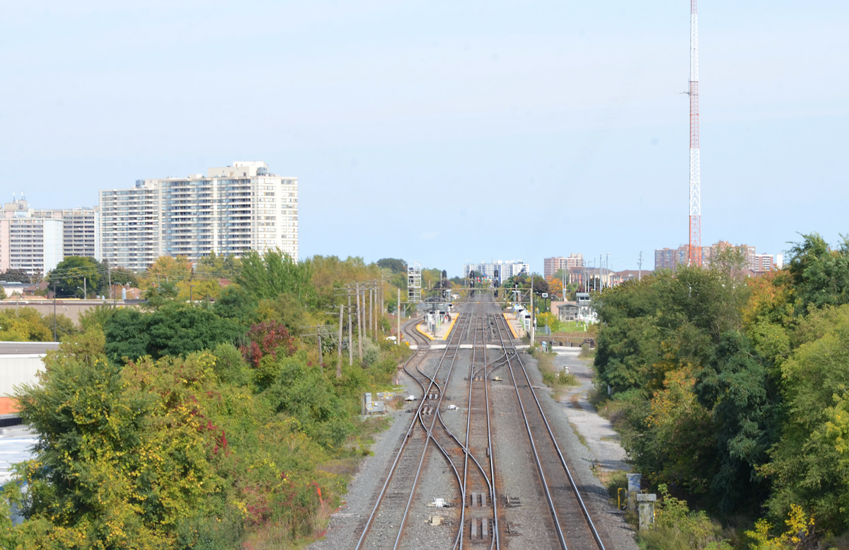
below: The view east from Kennedy, looking towards Scarborough GO station.

railway tracks, looking east from Kennedy Road towards Scarborough GO station

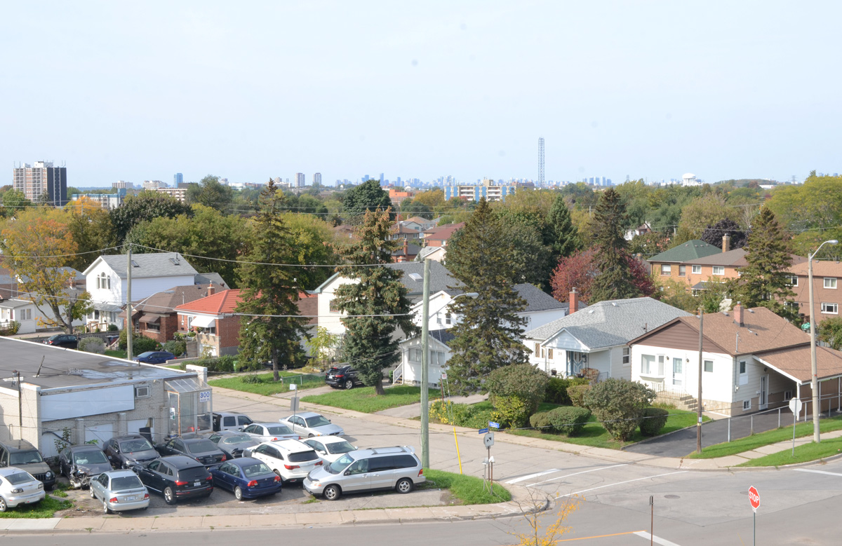
below: The view west from the bridge

houses on Raleigh and Glasgow Avenuesview west from Kennedy Road bridge over railway tracks near Danforth,

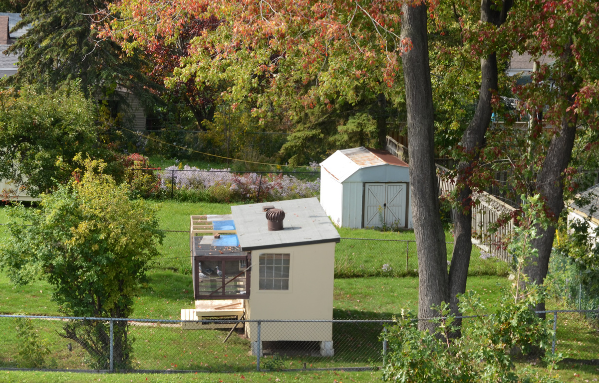
below: A bit of country in the city.

backyard in Scarborough with a barn shaped shed and a small coop for chickens or pigeons

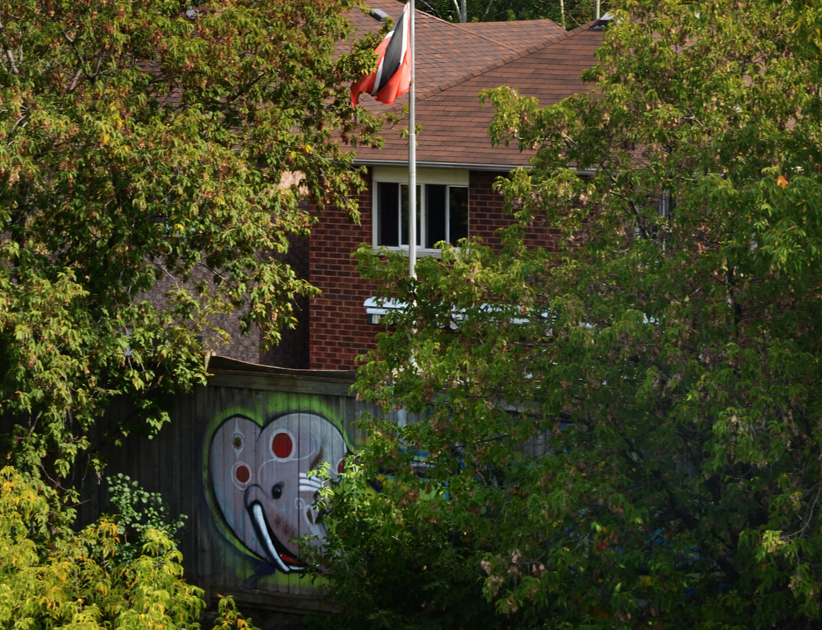
below: An elephant hiding in the bushes.  Any idea of what flag that might be? Trinidad and Tobago?

graffiti painting of an elephant head on a wood fence, behind some bushes, behind a brick house with a black and red flag

below: Anime-like on a bridge railing.

black and white drawing pasteup graffiti on a black metal railing of a bridge

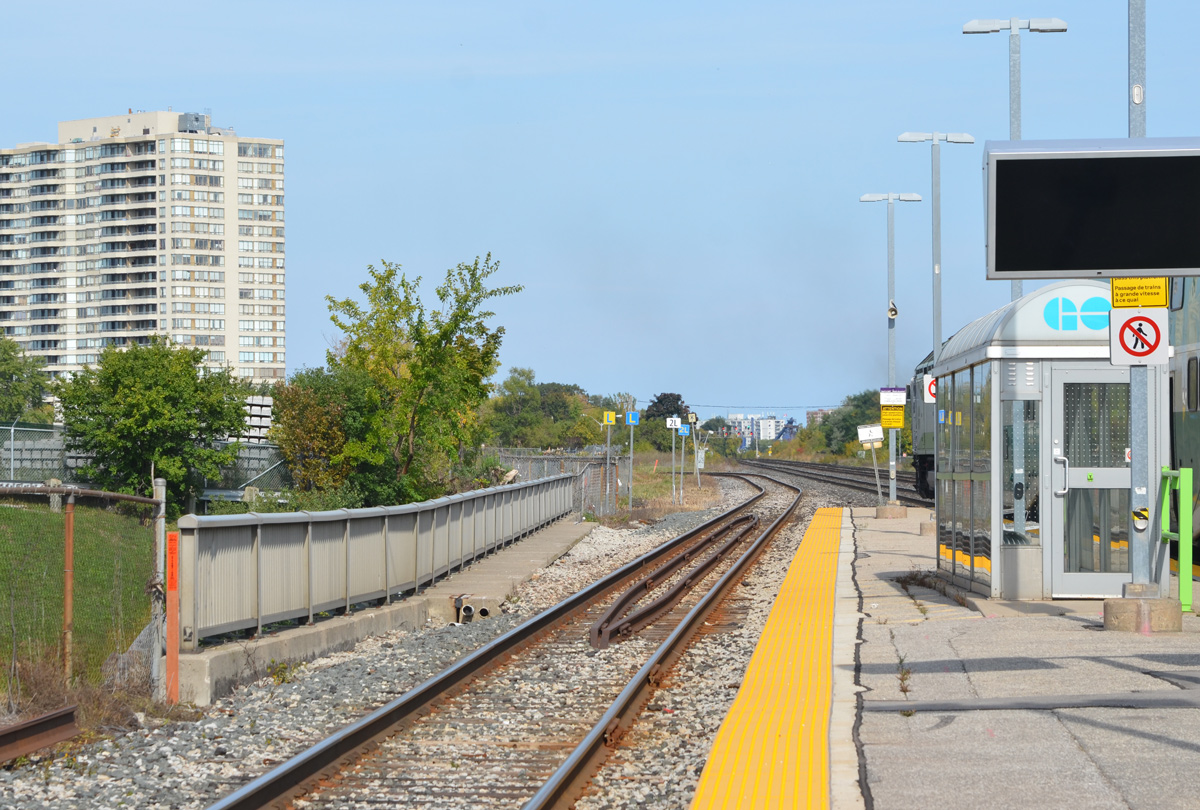
below: Standing on the platform at Scarborough GO station and looking east.  Here the tracks split – the GO train line to Kennedy and Agincourt stations (and beyond) splits to the left and heads northward.  The other tracks are the main CNR line as well as eastward GO line to Eglinton GO station

looking east from Scarbourgh GO station, tracks,

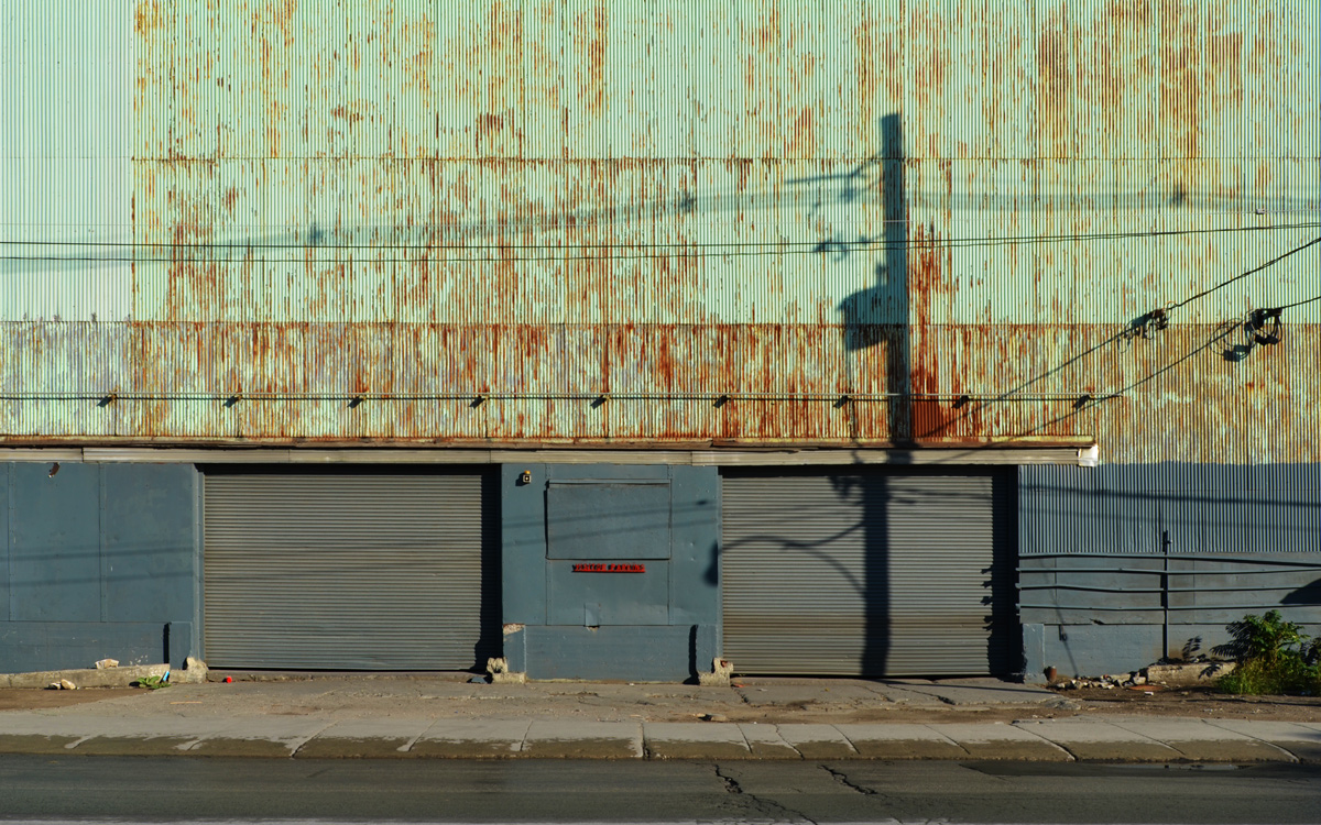
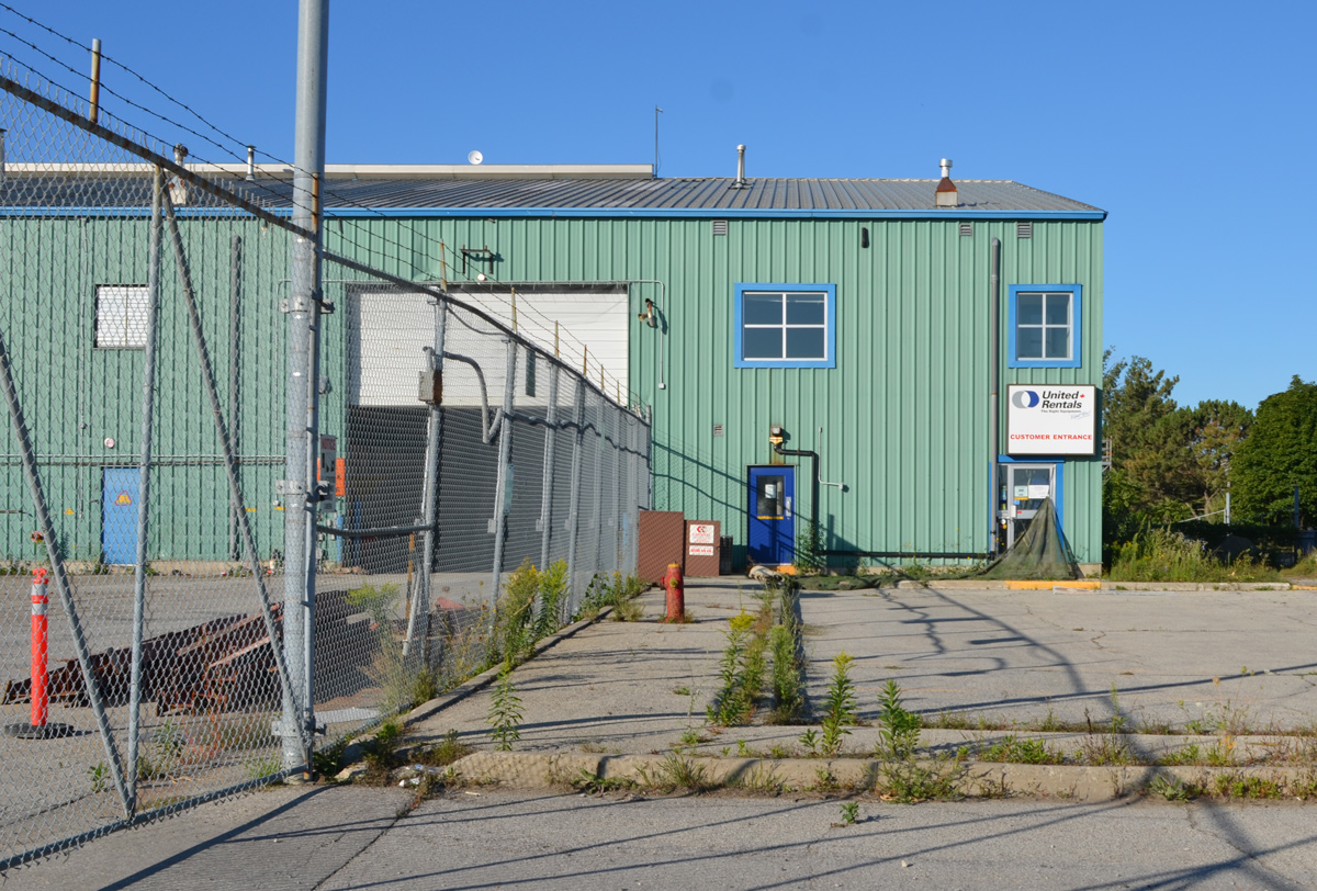
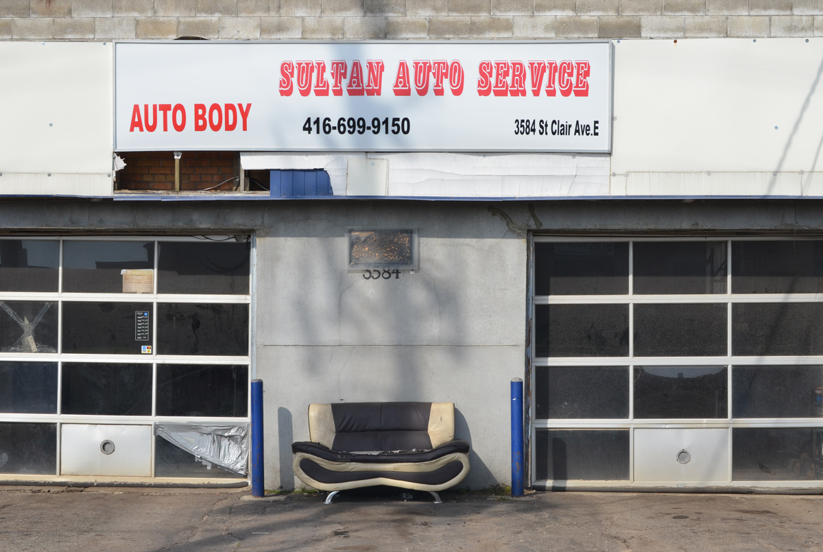
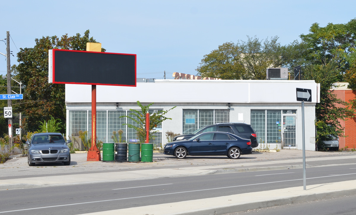
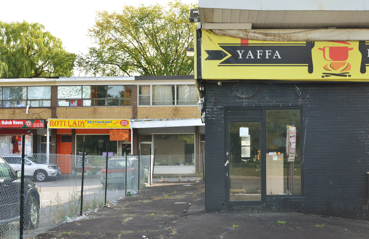
As I walked, it soon became apparent that there were a lot of commercial buildings now sitting empty. It’s becoming a bit repetitive but once again I found myself in an area that is about to undergo some profound changes.

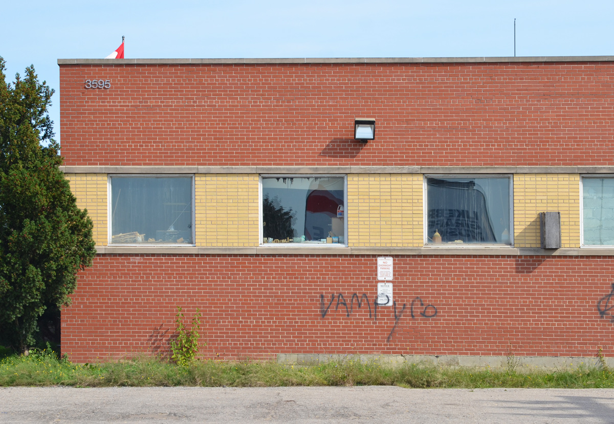
below: An empty building waiting for demolition.

blue and white city of toronto development notice on an empty auto parts store

Scarborough Junction redevelopment plans involve a 26 acre plot of land adjacent to Scarborough GO station – what has become known as the Scarborough Junction Masterplan.

below: Drawing of the Masterplan. It covers a large chunk of the triangle created by the CNR tracks, Kennedy Road to the west, and St. Clair to the north. It will create about 6620 residential units in 17 buildings with the tallest tower being 48 storeys high. The CLM building is on this site (blocks C & G?). (image source: Urban Toronto).

drawing of plan for Scarborough Junction Masterplan redevelopment at Kennedy and St. Clair, from Urban Toronto,

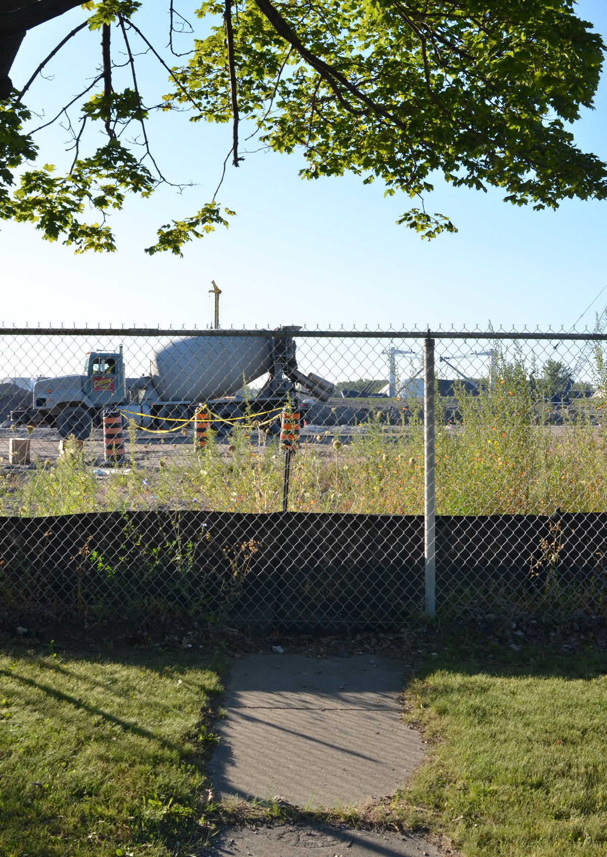
below: View from the Scarborough GO station.   At the moment, most of the land along the northwest side of the tracks is unused.

behind a broken chainlink fence is a parking lot of an abandoned business, overgrown,

white house, now a commecrial business on St. Clair Ave with a blue and white development notice in front

below: Outdoor seating arrangement

old car seat sitting outside of Sultan Auto Service, closed garage doors

cars parked in front of empty abandoned auto store, with blank black electric sign

exterior of Spee and Dee Auto Service with garage doors covered with photos of cars in the interior of the garage

three piles of old tires blocking the driveway entrance to a light industrial site

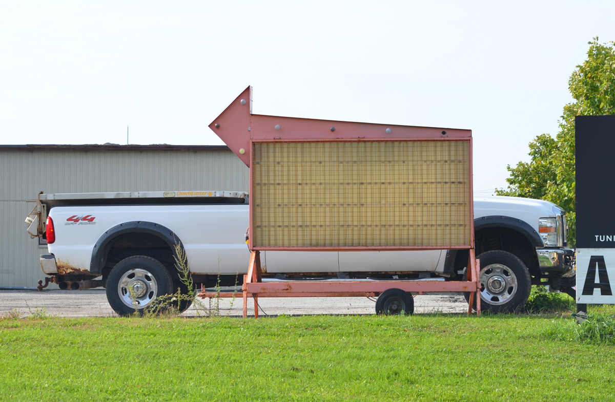
below: Truck for sale

a white pick up truck parked behind a black sign with an arrow pointing left

older brick house turned into a business, beside Carmen and Frank's Collision centre

graffiti on the side of a one storey brick building

white car parked in front of white building, Cordi Signs, one light blue door and no windows

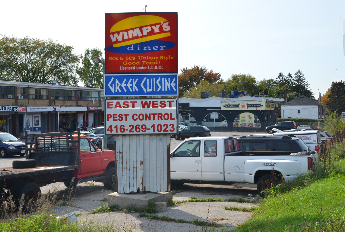
below: On the southwest corner of Kennedy and St. Clair is a small plaza from the 1960s.

sign at the corner of Kennedy and St. Clair, stip mall plaza, sign is for Wimpys Diner, Greek Cuisine and East West Pest control

old Canadian flag in the back window of a pick up truck

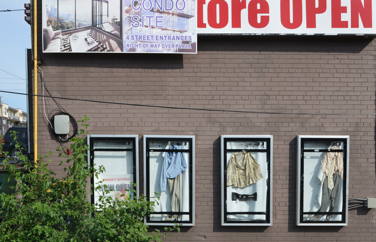
below: Another empty building behind a fence – Some clothes in cases all that remains of what was once a thrift store (and probably something else before that). There is a weathered sign suggesting a condo development but I haven’t been able to find anything about it (or I missed something).

side of empty building with condo sales advert, also four display cases with clothes that are no longer held up properly

small plaza from the 1960s with Yaffa restaurant, now emppty, Roti Lady restaurant, and another empty store front. Chainlink fence around part of it

empty Yaffa Restaurant and old thrift shop. brick building with a sign that says Fresh coffee,

billboard by fenced in lot, for sale, gas station site available, Kennedy Road street sign

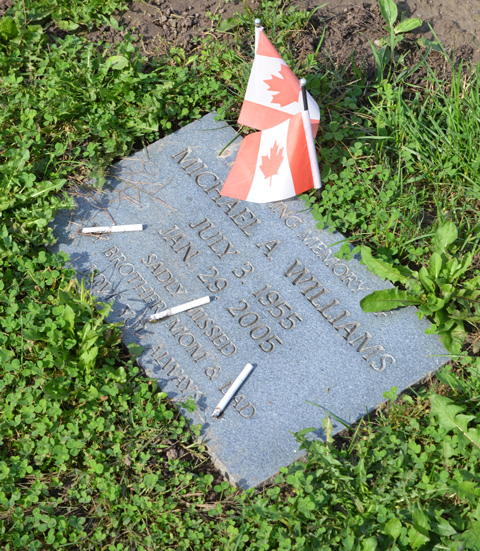
below: One corner that is in no danger of being redeveloped is the northwest corner of St. Clair and Kennedy. This is Pinehills Cemetery.

adornments by a tombstone in Pnehills cemetery, red flowers, a small metal bike old fashioned style, a cross, and a photo of a man, and a small white candle holder lantern

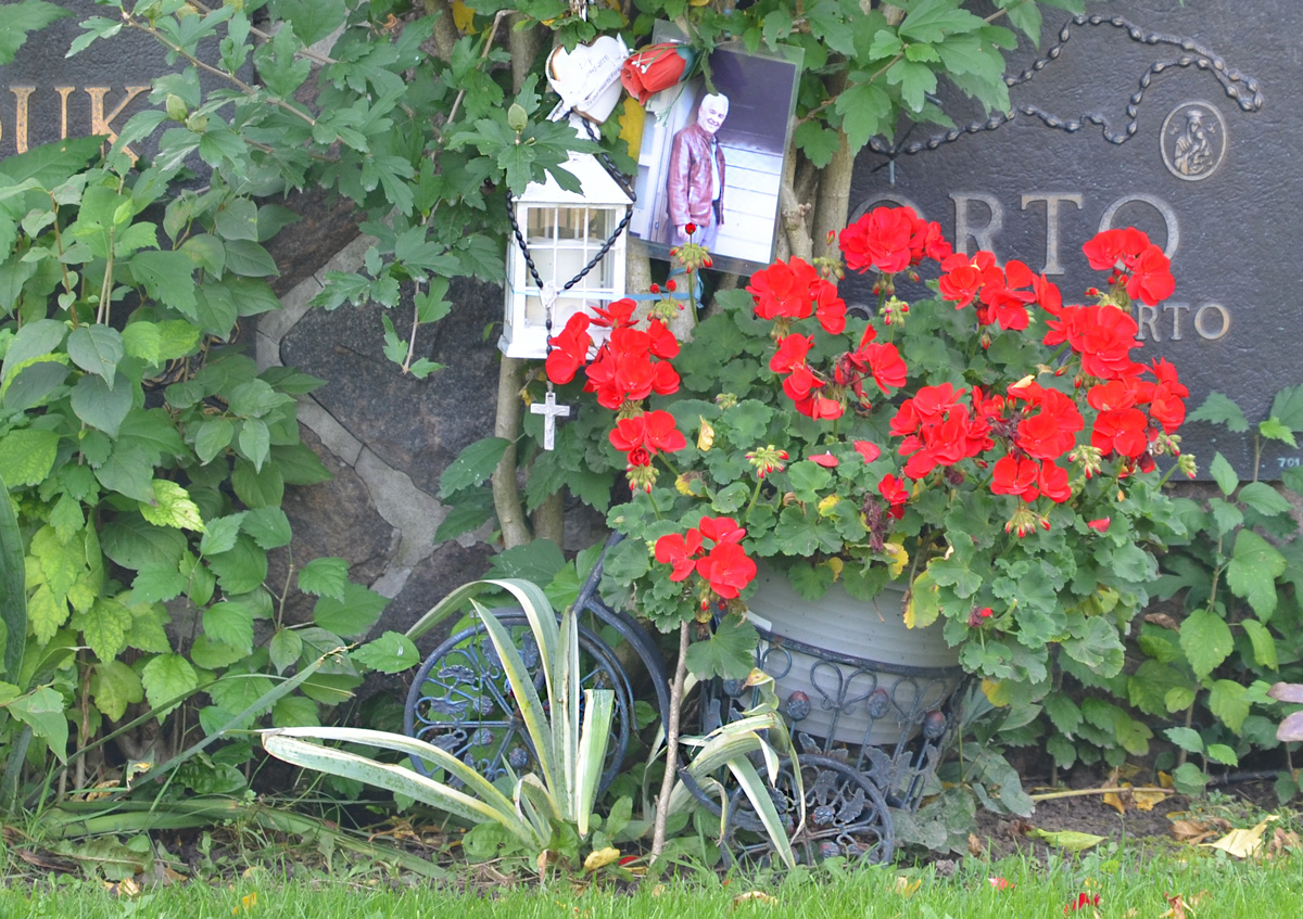
It’s heart warming to see that people care enough about those who have passed away that they find ways to celebrate that person in creative ways.  Insert jokes here about how we’ll all be dead before the Maple Leafs win a Stanley Cup.

objects left by a tombstone, Maple Leafs sign, and their bear mascot figurine about 8 inches high, pink flowers, and a small white cross with words on it

flat ground level memorial in a cemetery with three cigarettes and 2 small Canadian flags

Work on the Port Land redevelopment continues.  The area is changing fast enough that I thought another visit would be a good idea.

below: Cherry Lifeguard Station, calm and peaceful in the early morning.  On a weekday in September all is quiet here.

cherry lifeguard station, with dock in front, very calm and still water, reflections of the building in the water, early morning,

below: A new red lifeguard chair sits on a freshly raked beach.  In the distance, a tug pushes a barge out of the harbour and onto Lake Ontario.

red lifeguard station on cherry beach in the morning

below: A family of Canada geese rest on the embankment of the Keating Channel. The white concrete supports of the Gardiner Expressway are reflected in the water.

white concrete supports of the elevated Gardiner Expressway are reflected in the water of the Keating Channel while a family of Canada Geese sit on the bank

below: Looking west along the Keating Channel. The Don River empties to the bottom right, just out of the picture. At the moment, the Keating Channel is the only route to Lake Ontario but this is about to change.

looking west along the Keating Channel, trees on the left, Gardiner Expressway on the right

below: The Cherry Street bridge, a lift bridge, was broken in the open position for about a month at the end of the summer.  It was fixed in time for Labour Day weekend so it is down now (can it go back up?  It will soon be demolished so maybe that doesn’t matter)

view from above, Cherry street bridge in open position, port lands, cement silos, Lake Ontario, construction

below:  From above, the Keating Channel is in the foreground and it is here that construction on a new Cherry Street bridge is just beginning.  This is west of the present bridge because Cherry Street is going to be straightened as it passes under the Gardiner.      There is another small channel behind the Keating Channel but it ends at the T&T store… for now.    Cherry Beach and Lake Ontario are in the background.

Port Lands from above, Keating Channel, beginning of construction of a new bridge at Cherry street,

below: Reflections of the T&T sign.  Soon this store will be gone.  The path of one of the new waterways for the Don River goes right through the middle of their property to join with the channel that is already there (picture above).

reflections of the green T and T supermarket sign in a car window

below: Villiers Street, looking west from the Don Roadway.   The new path of the Don River is going to make an island of this part of the Port Lands as it runs parallel to, and immediately west of, the Don Roadway.

railway crossing sign on Villiers Street in the PortLands, some remnants of train track still there bu no trains

below: Villiers Street is actually two streets running parallel, both of which have two-way traffic.  This is left over from the days when the railway ran down the middle of the street.

green road sign that says Traffic operates two way on both branches of Villiers street

below: Remaining fragments of railway track can be found all over the Port Lands. This is Villiers Street at the Don Roadway. The Gardiner Expressway is in the background.

street with remnants of railway tracks on it

below: Old gas pump on Villiers.

rusty old gas pump

below: The northwest corner of Commissioners and the Don Roadway. The green mound is the beginnings of the flood protection work there. Flood protection means work on the re-routing of the mouth of the Don River.

the north west corner of Don Roadway and Commissioners Street

below: Looking west on Commissioners Street from east of the Don Roadway (at the traffic lights).  This is one of several large hydro structures that run from the Portlands Energy Centre (a natural gas burning electrical plant).   Hydro infrastructure changes are part of the Port Lands redevelopment.

a very tall metal hydro pole and structure above the street, Commissioners Street, Port Lands

below: Work on the south side of Commissioners.

cranes, workers, construction site

Soon Commissioners Street will be closed between the Don Roadway and Cherry Street.  All of the buildings there will be demolished.  At the moment, most of them are empty.

below:  Old abandoned buildings on Commissioners

old buildings on Villiers Street, with CN Tower in the background

part of an empty and abandoned building, two storeys, old windows, the number 130 written in large white numbers

side of an old abandoned building, top part is rusted pale green metal, bottom is painted dark grey

below: United Rentals on Commissioners Street, now empty. Soon gone.

empty United Rentals building in the Port Lands

below: Chained and locked.

a rusty chain and a padlock keep a gate closed

old brick building

construction on flood control measures in the Port Lands

below: North side of Commissioners, east of the Don Roadway. You can see the Gardiner Expressway and the old Lever Brothers factory.

a plant grows up agains a chain link fence, pile of dirt and industrial buildings behind the fence

a red and white danger due to sign that someone has written radioactive signs on so sign says danger due to radioactive signs

below: South end of the Don Roadway.

very south end of Don Roadway, south of Commissioners street, dead end, dirt road, no trespassing construction site entry

below: Looking west towards downtown from the Don Roadway

view of Toronto skyline and CN tower from Don Roadway

fence with signs, danger due to sign, plus sign that says Port Lands Flood Protection

below:  Back in July the demolition of the GFL (Green For life) buildings was well underway.

the last part of GFL (Green For life) structure to be torn down in the Port Lands, cement truck, dirt road, vacant land

below: This is the GFL recycling transfer station during the demolition process.  At the same time, the shoreline was being reconfigured and “naturalized”.  The trees in the water in the foreground have since died but this is part of the plan – they are to become part of a new fish and wildlife habitat.

west end of portlands early on in the redevelopment process, partially demolished building, barge in water creating new land, reconfiguring the shoreline

below: Access to the northwestern part of the Port Lands has been very limited.  Cherry Street and the T&T parking lot are as far as you can go … if you obey all the signs.    (photo from July)

black and orange cones line the route of entry to cement making facility in the Port lands

below: September

CN Tower and Toronto skyline from Cherry street, T and T market parking lot

below: The sea gulls have the parking lot to themselves, between Lafarge and the lake at the west end of the Port Lands.  There are no plans (that I can find) to remove or relocate Lafarge.

lots of sea gulls sitting on a parking lot behind Lafarge cement silos in the Port Lands

below: If you stand looking at the view above, and then turn around, you get the image below. Polson Pier view of the Toronto skyline.

view of Toronto skyline across Toronto Harbour from Polson Pier

a path leads to a fence, construction site behind the fence, including a cement truck

torn and shredded black fabric caught on a barbed wire fence

below: Map of the area.  As you can see, I have only covered a small part of the Port Lands.  There is so much more to explore!

map of the Port lands area