


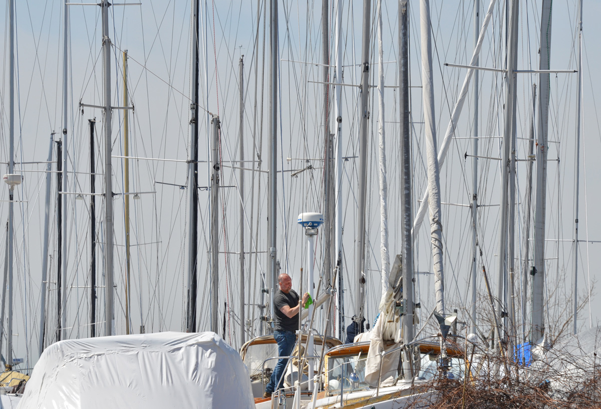
Getting ready for spring. RCYC (Royal Canadian Yacht Club) is nearby.
There are a few changes happening down at the Port Lands.
below: Aerial view of the present configuration of the Keating Channel, Don River, and part of the port lands beside a drawing of the planned changes. Rerouting the Don River will create an island, Villiers Island.
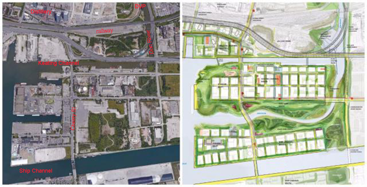
In the 1880s, the lower part of the Don south of the former Winchester St. bridge (just north of Gerrard St) was straightened and the mouth of the river was placed in a channel to create additional harbour space and industrial dock space for boats in what is known as the Port Lands. This project was called the Don Improvement Project. The Don River now empties into the inner harbour through the Keating Channel. Lakeshore Blvd passes over the very south end of the river and because of its height (very low), boats can not enter the Don River. Boats may still enter the Keating Channel by going underneath a lift bridge at Cherry St. The straightening of the Lower Don also allowed for construction of the railway line parallel to it.
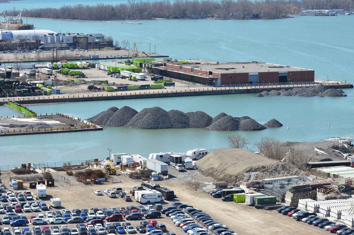
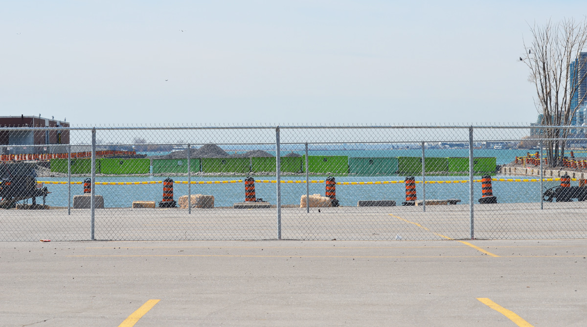
below: The cars are parked on vacant land between Lakeshore Blvd and Lake Ontario/Keating Channel. Mounds of gravel have been dumped off the end of Essroc Quay and beside Keating Channel. You might also have noticed the nine green bins that have been laid across the water (very left side of the photo). They too are full of gravel. These are part of the beginning of the renovations of the port lands. The Keating Channel will remain, but the area south of it is slated to be changed. In the middle is the GFL (garbage collection) transfer station. The low reddish brown building was a recycling facility. It was the site of a fire a few months back and most of the south end sustained substantial damage.
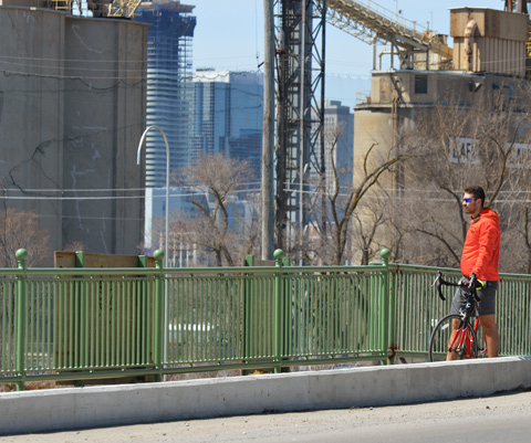
Access to the western portion of the port lands is via the Cherry Street bridge.

below: Here it is being lifted to allow a boat to pass through the Keating Channel. This bridge was built in 1968 and is at least the fourth bridge at this location.
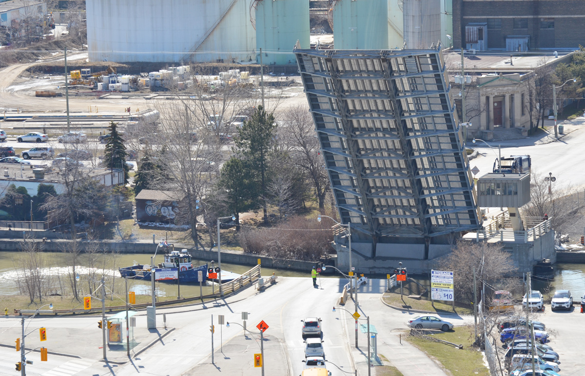
below: In 1900 a wood swing bridge was built with just a single railway track that was operated by the Grand Trunk Railway. There are still remnants of the tracks that serviced the industries located in the area.

below: Two steel drawbridges were subsequently built here, one in 1912 and one in 1932. This is a circa 1915 photo of the lift bridge at Cherry Street.
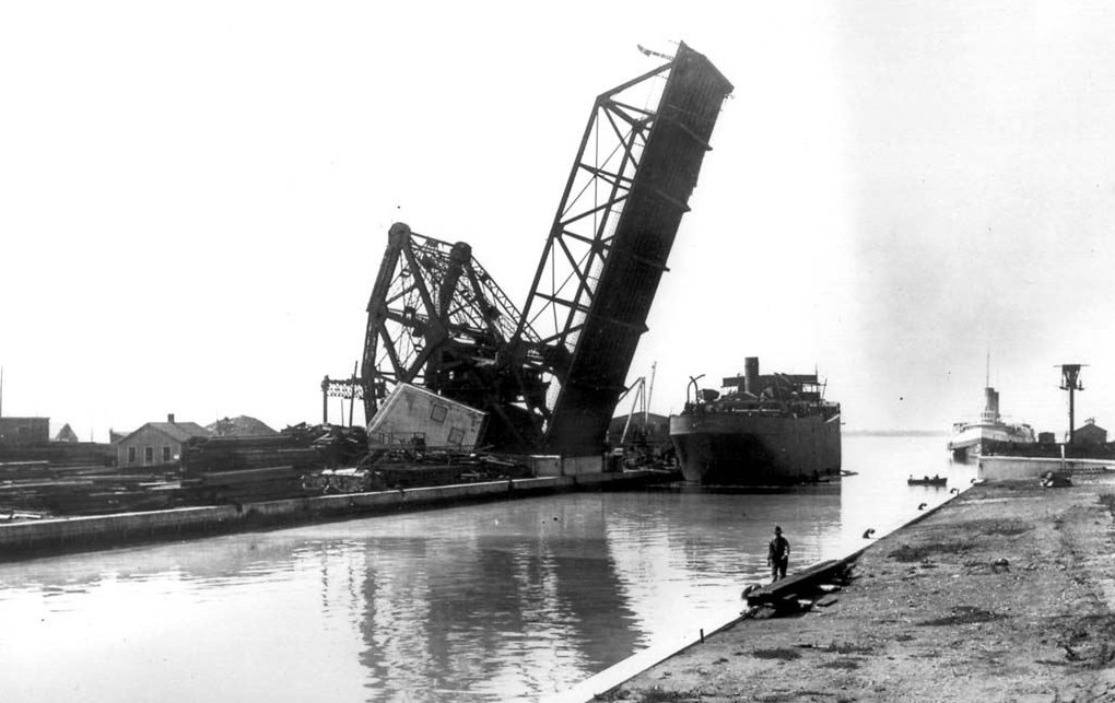
source: Originally from the Toronto Archives but found on Wikipedia
The plans for the redevelopment of this area show that the south end of Cherry Street will be moved to west of its present location – the jog in Cherry where it joins the Lakeshore for a short distance will be eliminated.
below: This is a close up shot of Essroc Quay at approximately the new location of the new Cherry Street bridge. The Keating Channel is in the foreground. This quay, and the water channel behind it, will be turned into wetlands and parkland. Essroc is a landfilled pier and is publicly owned as is Cousins Quay (the one behind it with the GFL transfer station).

below: A new fence too.
below: Looking across Essroc Quay to the Toronto skyline

There are many reasons for rerouting the Don River. The Port Lands are no longer used by many industries, land use has changed. As the city grows and changes, this area has become prime real estate but it is also a flood plain. Before any development can occur, flood control measures need to be taken. The Cherry Street Stormwater and Lakefilling project will stabilize the local shoreline, protect land from flooding, and create a new landmass to begin the re-naturalization of the Don River’s mouth. The river would be re-routed through the middle of the Lower Don Lands between the Keating Channel and the Ship Channel. The area being filled will become part of ‘Promontory Park’, a new major green space across the harbour from Toronto’s skyline.
The project will also allow for a realignment of Cherry Street so that it no longer merges with Lakeshore for a short distance. At the moment, the Cherry street and Lakeshore Blvd intersection is problematic, especially for pedestrians. Once upon a time there wasn’t much reason for people to walk there I guess. Now, if you are on the wrong side (the west side) of Cherry street, you get stranded at Lakeshore.

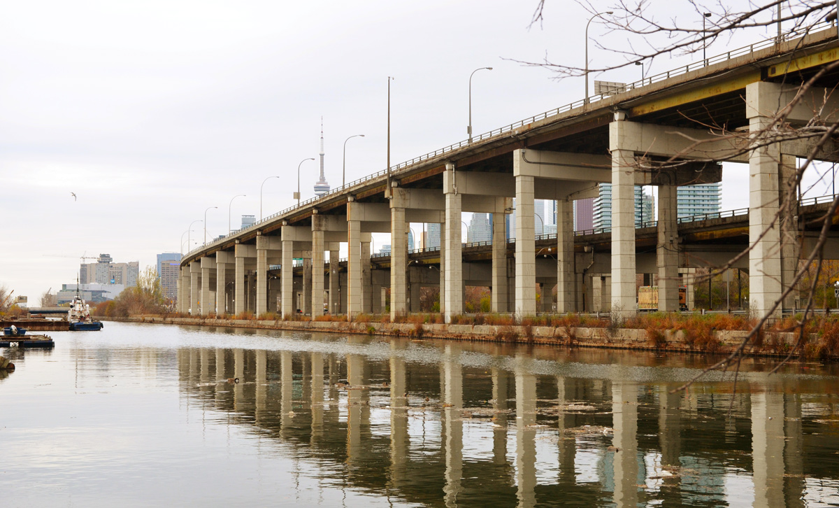
The Keating Channel isn’t exactly beautiful. Lakeshore Blvd and the Gardiner Expressway run along the north shore of the channel. There has been discussion & debate about the fate of these roads but so far nothing has changed. Will they demolish this section of the elevated Gardiner? Or won’t they? (Probably not).
below: The very south end of the Don River at the moment. Not much to get excited about is it? It looks like there is work being done under the bridge? (something’s happening there but I don’t know what). Hopefully it will look better in a few years.

The Ship Channel is south of the proposed changes described above.
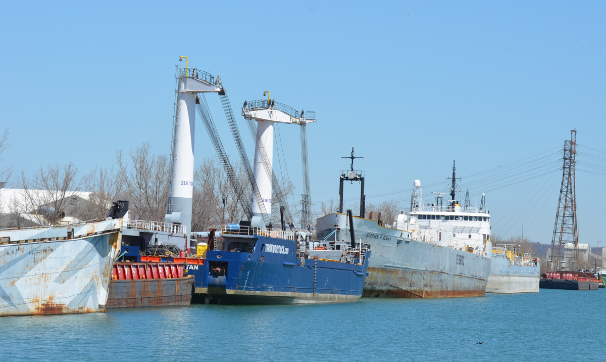
below: Piles of salt on the south side of Ship Channel. These arrive by ship. The old Hearn Generating Station is in the background.


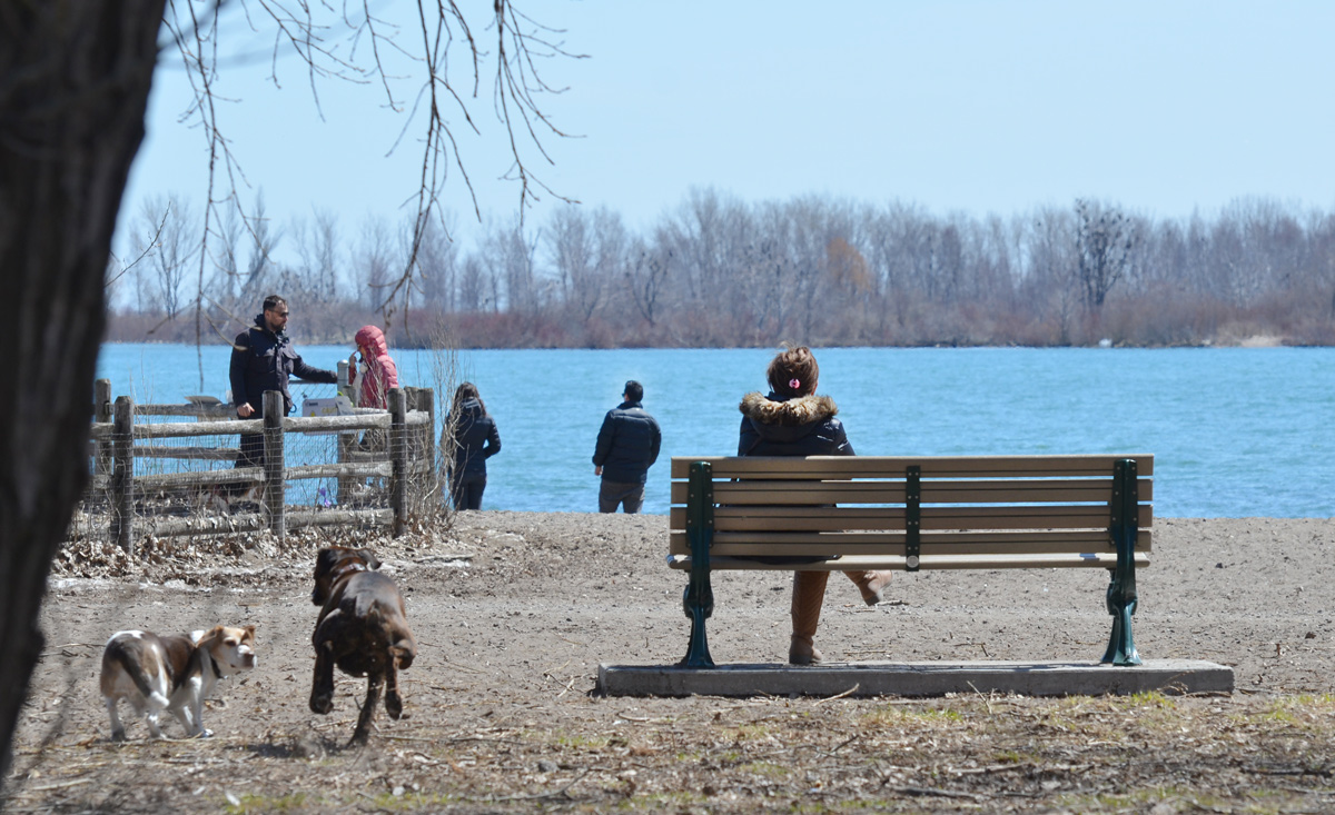
And south of it all, Cherry Beach.

More info on the Cherry Street Stormwater and Lakefilling project
