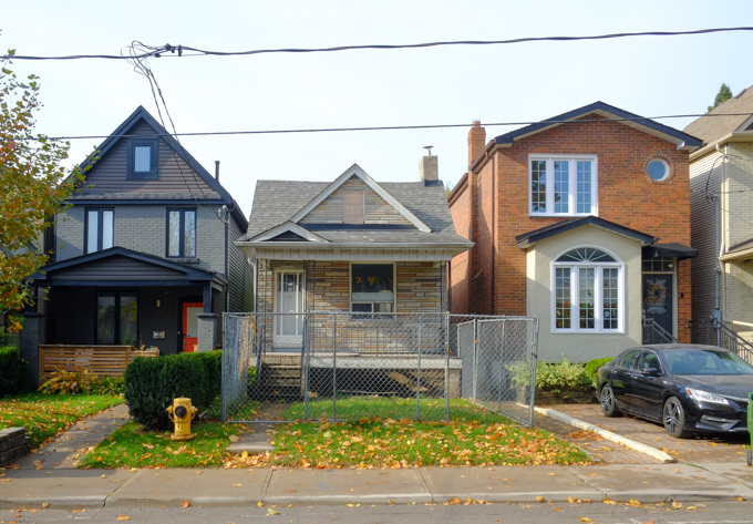
This walk started from Royal York subway station. In general, I walked westward first along Bloor Street (to Islington) and then on Dundas West. The stretch of Bloor West at Royal York is part of The Kingsway neighbourhood.


below: Squares of yarn, some crocheted and some knit, cover a red frame heart similar to others that ShowLoveTO have placed around the city.

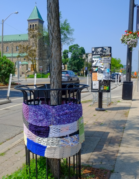
below: There are more yarn decorations around the metal frame protecting this tree on Bloor Street West.
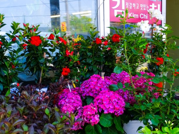
below: Also, a little Zen Garden Planter to support the CNIB since June was Deafblind Awareness Month – the planter accessories were provided by The Gardener, a local flower store.

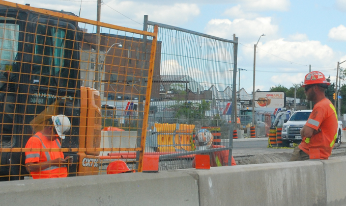
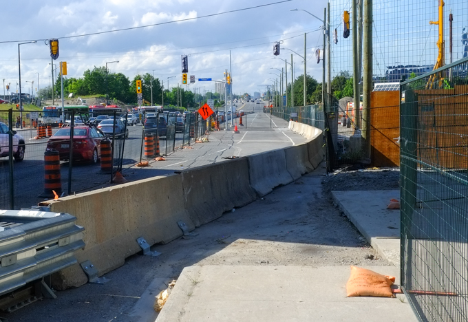
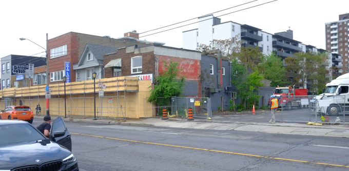
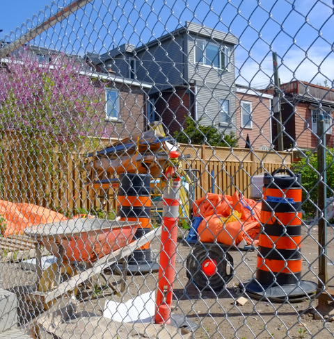
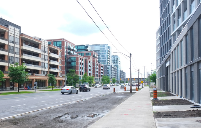
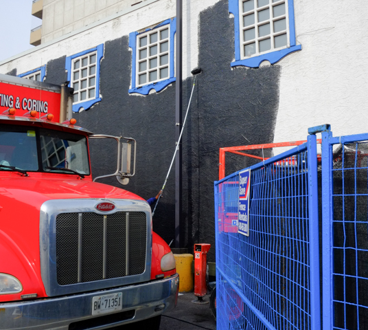
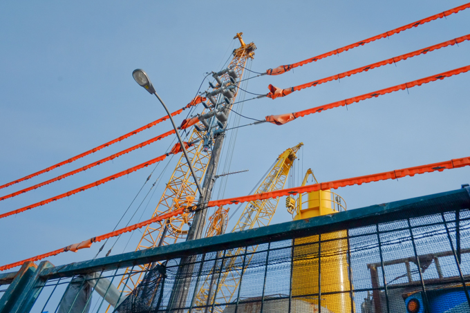
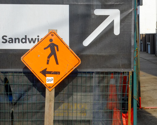
below: Bloor West – bike lanes, sidewalk patios, and construction. Welcome to summer in the city!

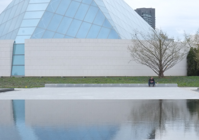
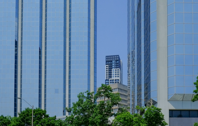
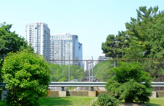
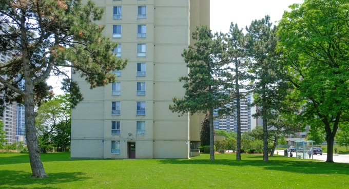
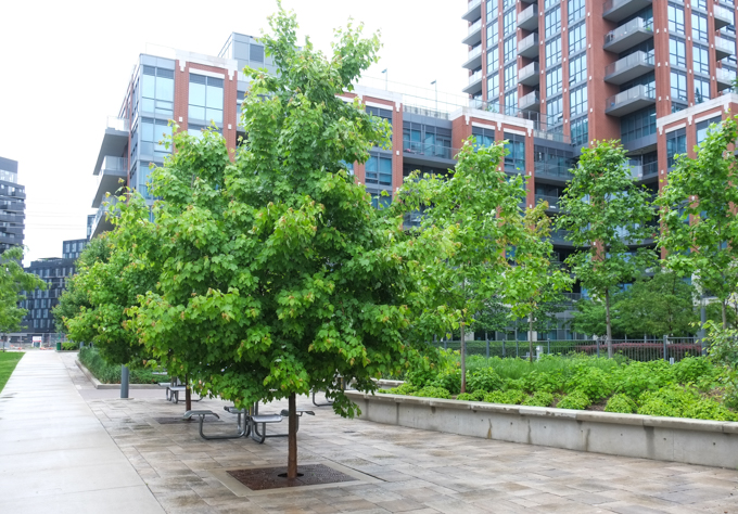
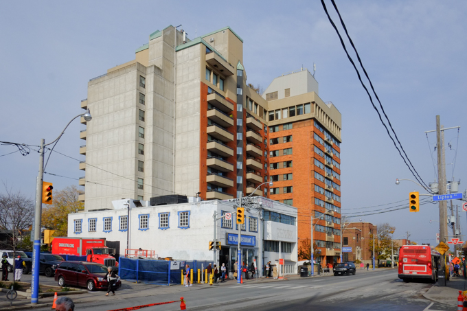
below: Bloor West glass towers

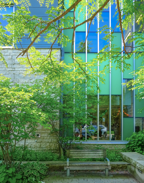
below: One wall of Brentwood Library and the small garden on the north side of the building.
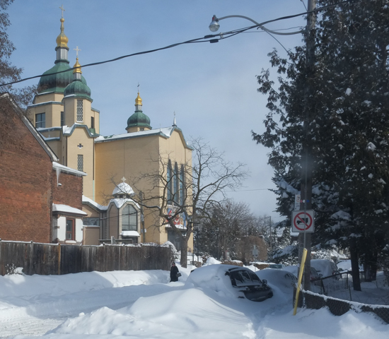
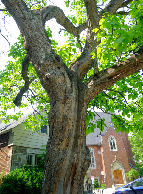
below: Old gnarly tree with Kingsway Baptist church in the background
below: Just west of Royal York, at Montgomery Road, the subway emerges from underground.


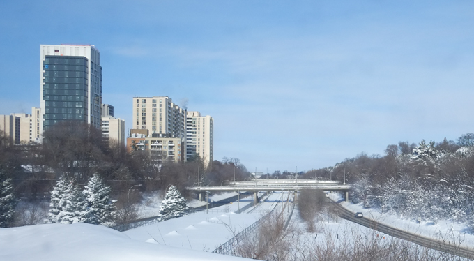
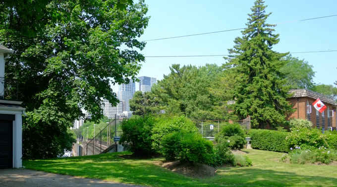
The Mimico Creek passes under Bloor between Royal York and Islington. Tom Riley Park follows the creek on both sides north of Bloor until it then passes under Islington close to the intersection of Islington & Dundas West.

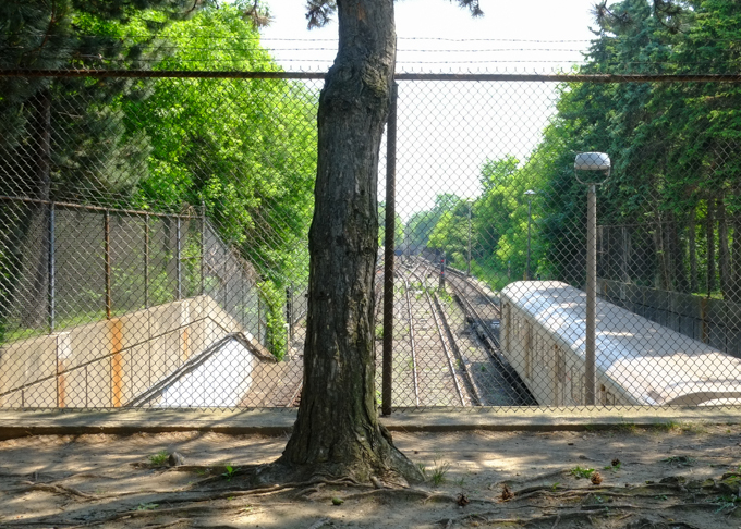
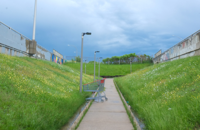
below: Another angle of the subway at ground level. Here is looking east as it runs through Tom Riley Park (and if you could see further, you could see where it goes back underground at Montgomery)

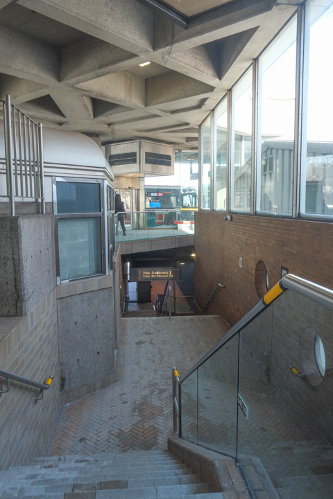
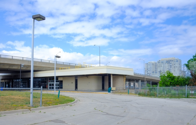
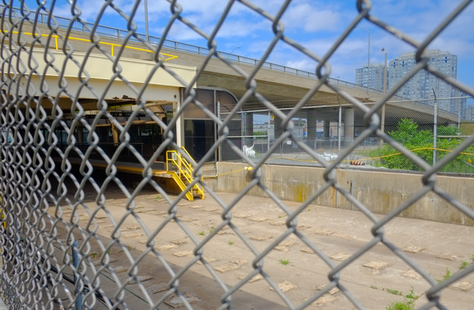
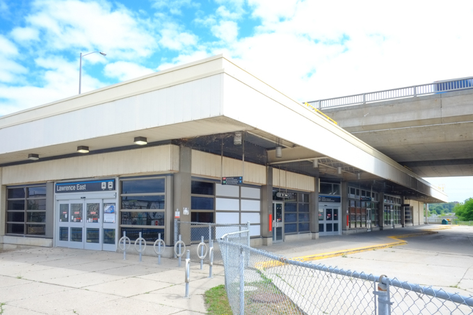
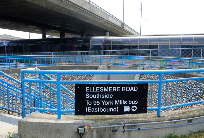
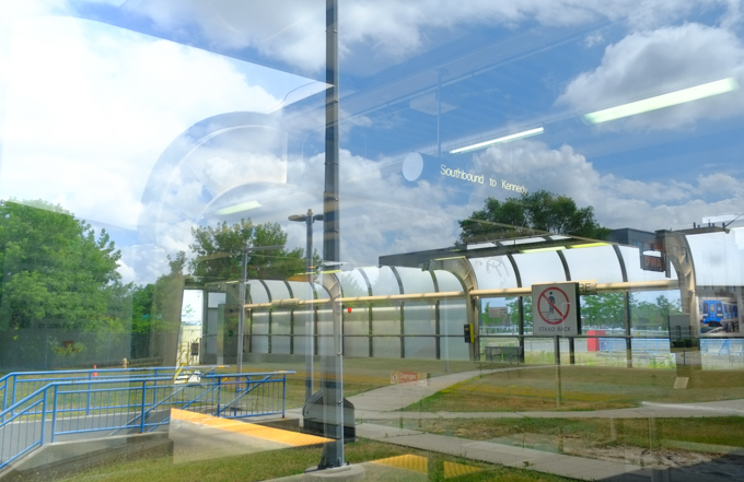
below: Islington subway station and bus bays. A very large parcel of land on the northwest corner of Islington and Bloor is taken up. Opened May 1968.
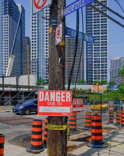
below: A messy corner, at Aberfoyle & Islington (just north of Bloor)

below: Just north of Bloor, Islington passes under railway tracks.

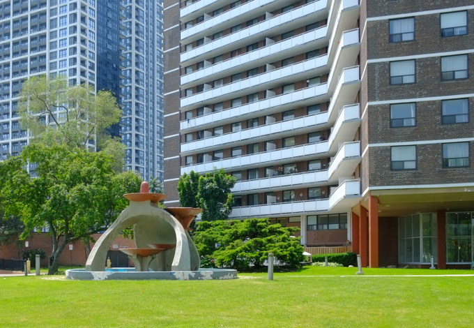
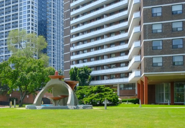
below: Islington Towers with a fountain in front. The parts of the fountain that are brown were once blue. It was designed and constructed by Alfio Bartoletti in the 1960s.
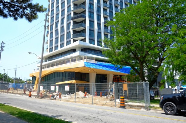
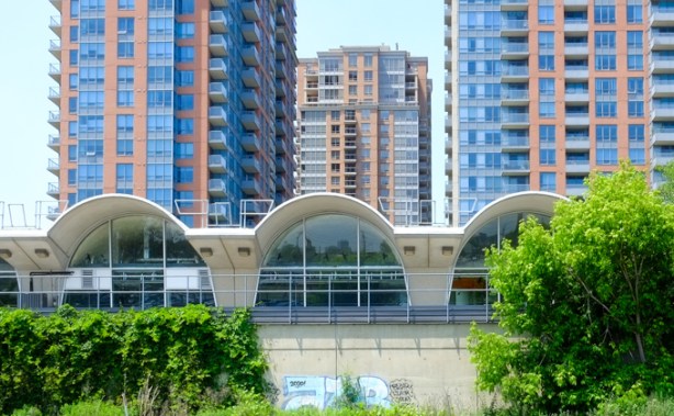
below: Across the street from the Islington Towers, a highrise with a more modern design (for better or worse, your decision!).
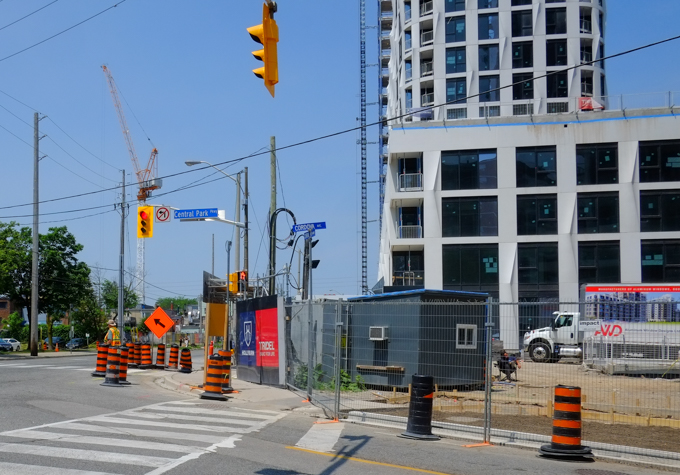
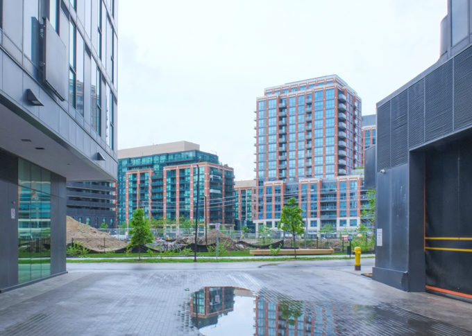
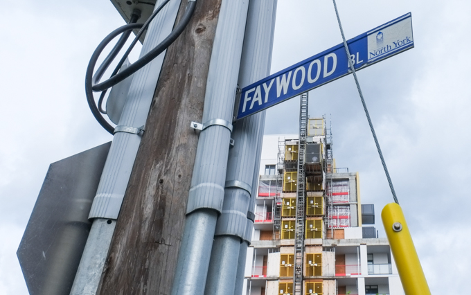
below: Corner of Cordova and Central Park Blvd with new condo development


In this part of Toronto, Dundas is north of Bloor.

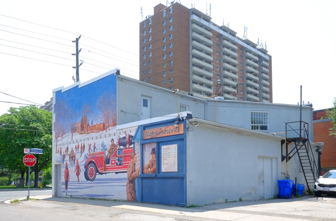
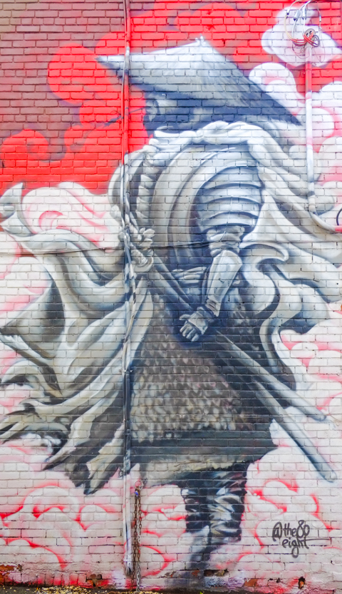
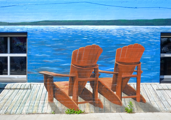
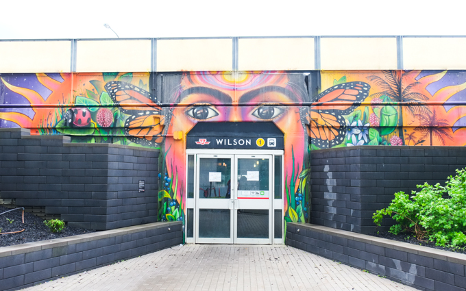
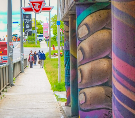
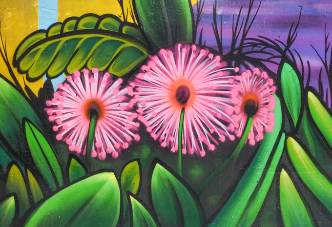
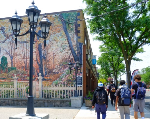
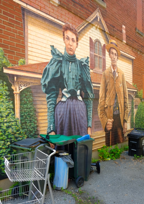
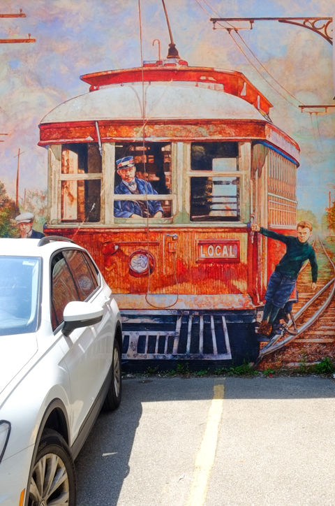
Now you are in Islington village, home to over 20 murals depicting scenes from the history of the neighbourhood. I documented these back in 2014 in a blog post, Islington Heritage Murals. The murals are still there and are in good shape.

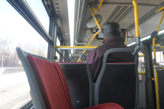
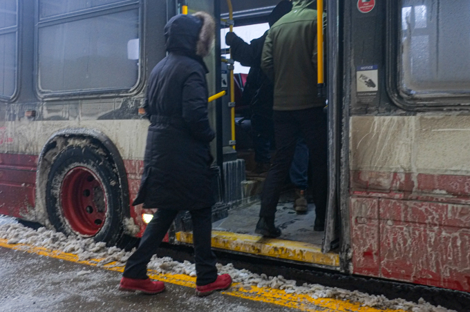
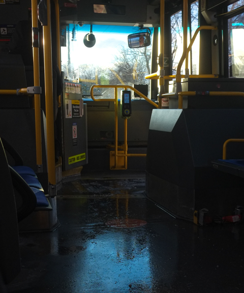
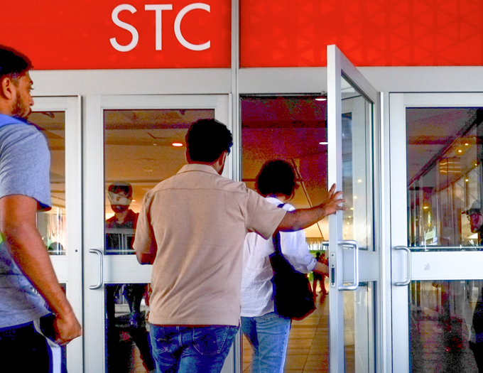
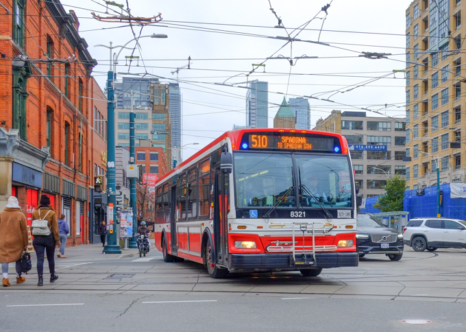
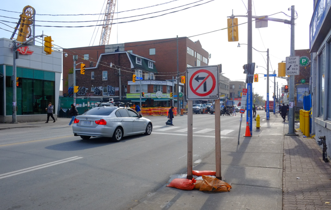
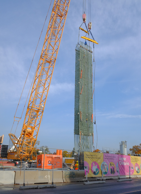
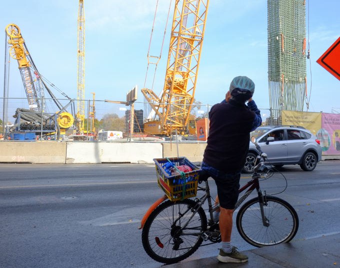
Are cars always getting in the way of public transit?

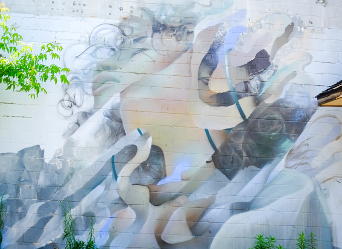
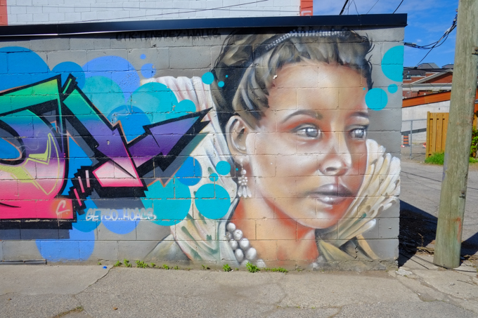
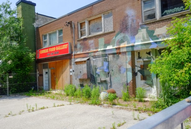
below: Not a heritage mural, but painted by Moises Frank for a collaborative project between Arts Etobicoke and the City of Toronto, the Dundas West #NoVacancy project.

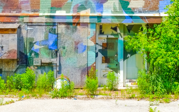
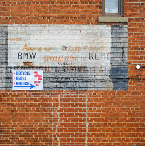
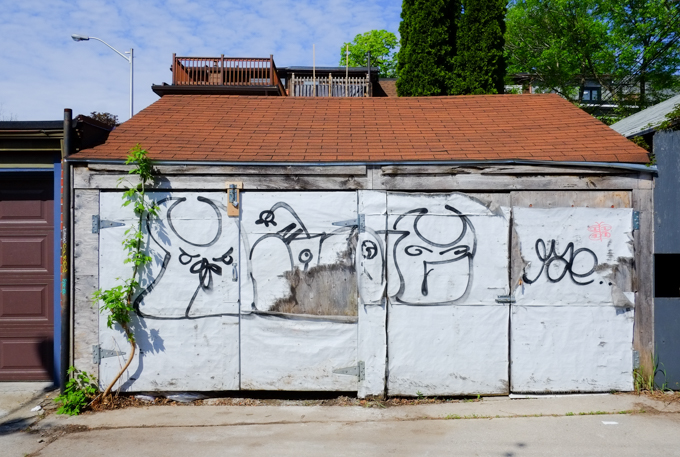
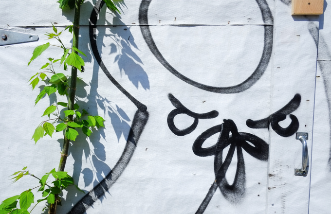
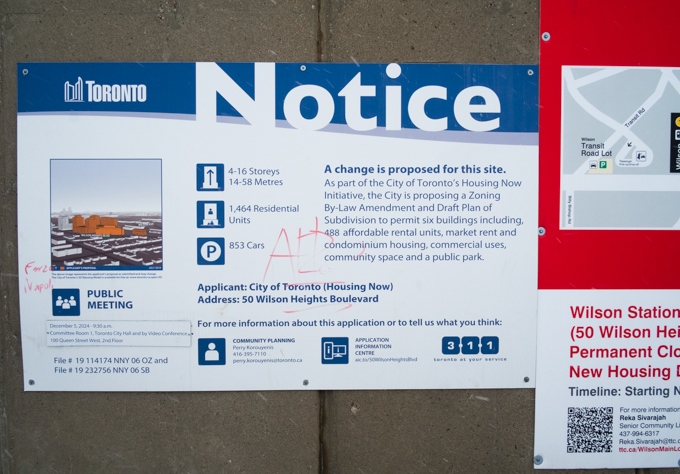
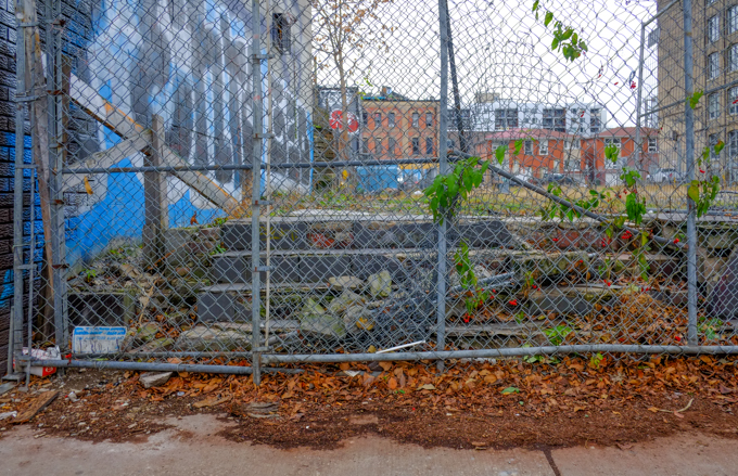
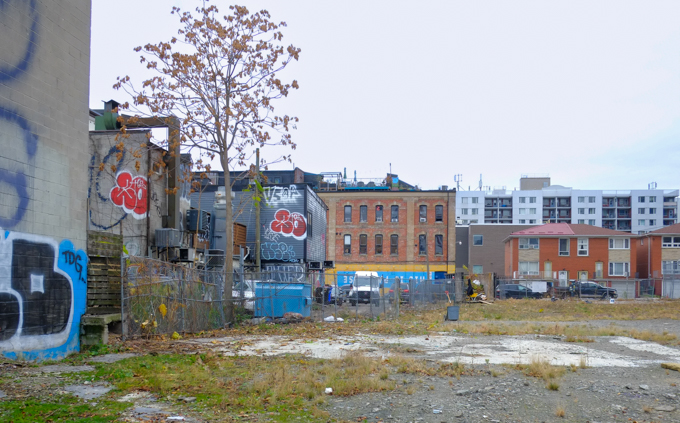
below: On the same building as the above mural, is this painting. Once it was the Chinese Food Gallery, now it is vacant and surrounded by a fence. A development notice sign on the fence says that a permit for a five storey mixed use building has been applied for.


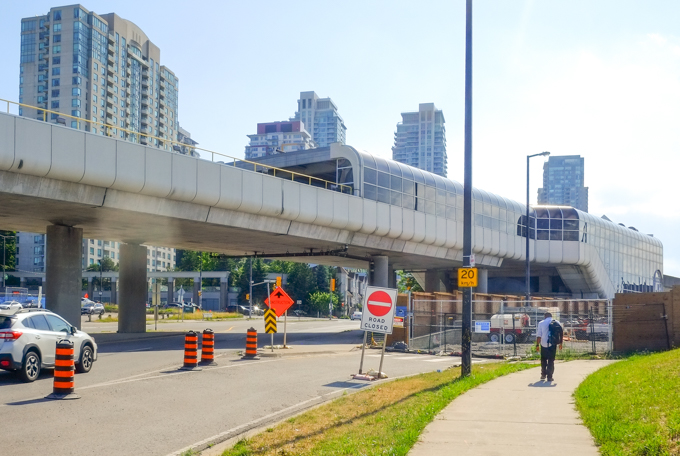
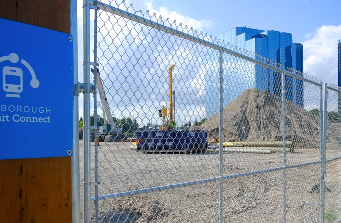
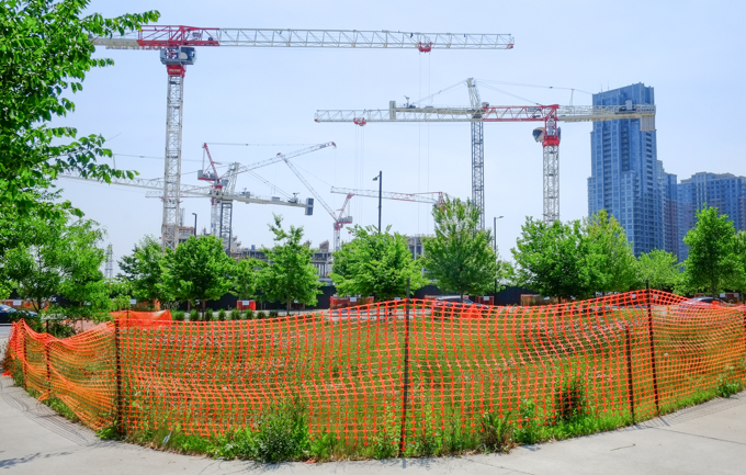
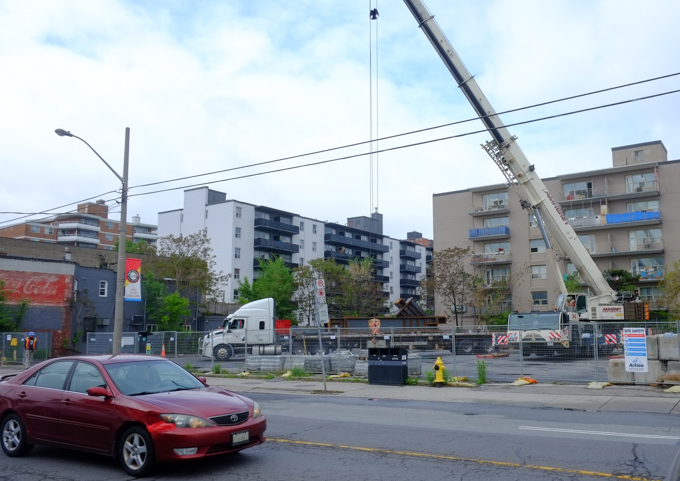
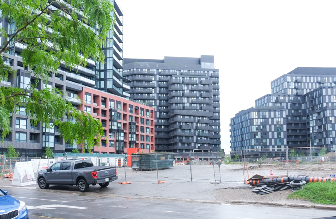
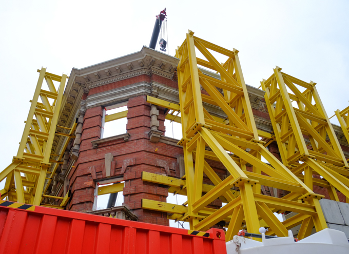
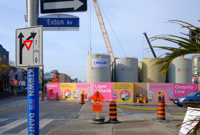
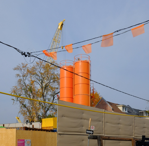
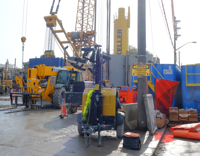
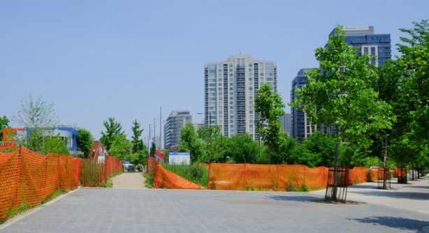
As you walk west on Dundas, you approach the intersections of Dundas, Bloor, and Kipling. There is a lot of construction, happening here, mostly condos.

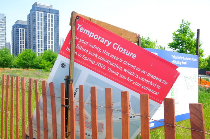
below: A park, Dunkip Park, is also being created. Dun as in Dundas plus kip as in Kipling.


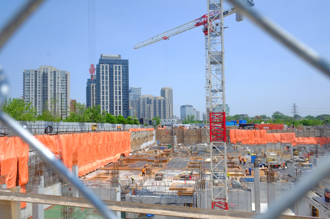
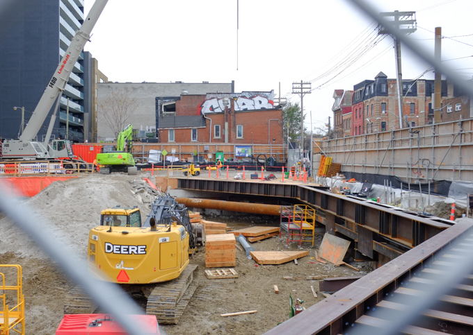
below: A very big hole in the ground.

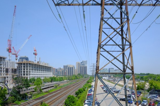
below: Kipling Street bridge over the railway tracks

below: Looking east along the railway tracks from on top of the bridge at Kipling (back towards Islington).
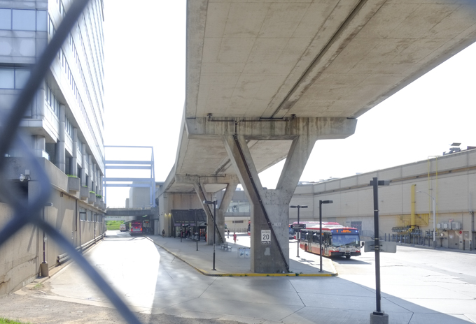
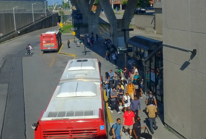
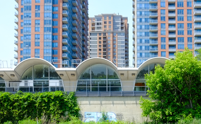
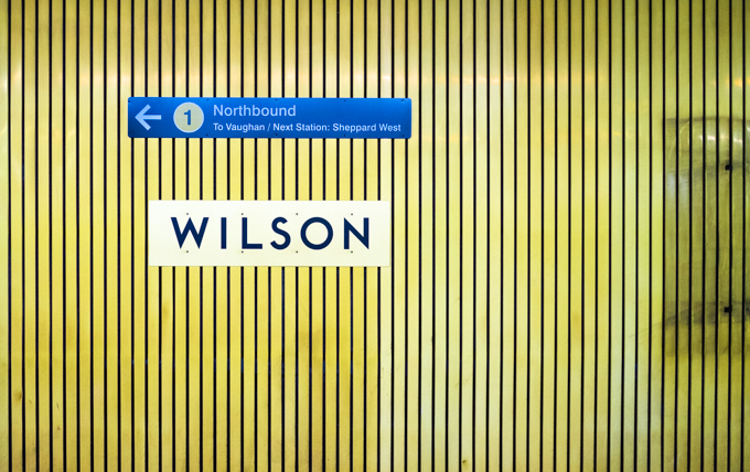
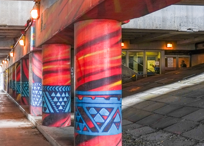
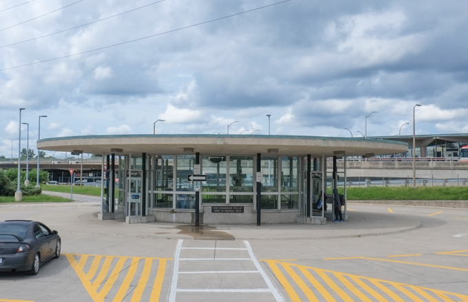
below: Kipling subway station is the west terminus of the TTC Line 2 and was opened in November 1980. It connected Line 2 of the subway with GO service to the west. Pictured here is part of the south side showing three of its twenty concrete arches. These are similar to the arches at Islington station, but not identical to them.
below: North side of Kipling station, back in 1980 when it first opened, north side bus bays

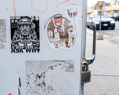
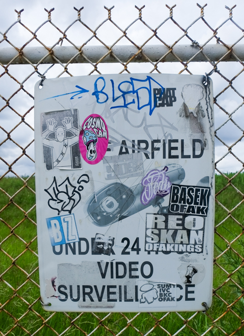
below: Graffiti stickers in the parking lot. A well-suited duck in a hurry by giacco.ca and a boxy snail by Sketch Nate (aka Nate Galbraith)

below: Eastbound out of Kipling station. The older Line 2 subway trains still have a window that you can look out.