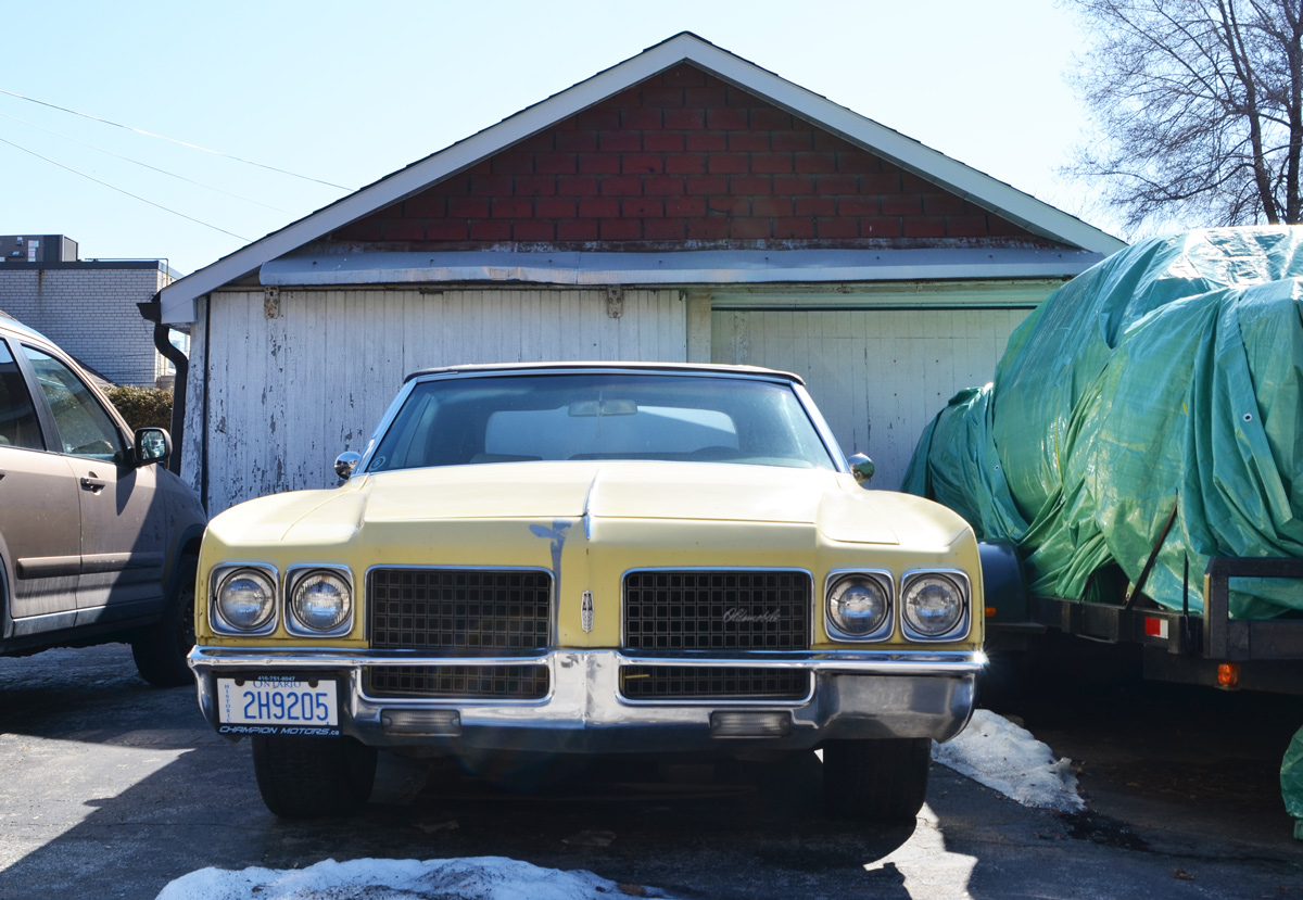
I heard about these silhouettes that have painted on the plywood used to board up the doors and windows of five empty houses so I went to see them for myself. They are on Raglan Road which is close to St. Clair and Bathurst.


“Took a walk and passed your house late last night
All the shades were pulled and drawn way down tight
From within, the dim light cast two silhouettes on the shade
Oh, what a lovely couple they made”

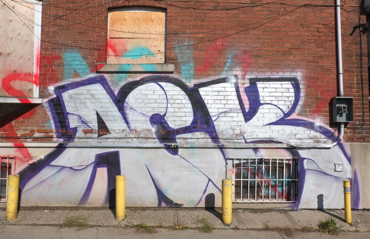
I am not sure how long these houses have been empty but there is graffiti in the back too.

As I was in the neighbourhood, what else is there to see here? Anything new? Back in 2015 I posted a few pictures from the St. Clair and Vaughan Road area (see Intersections). This time I stayed within the northwest quadrant of that intersection. Like most places, somethings have changed while other things remain the same.
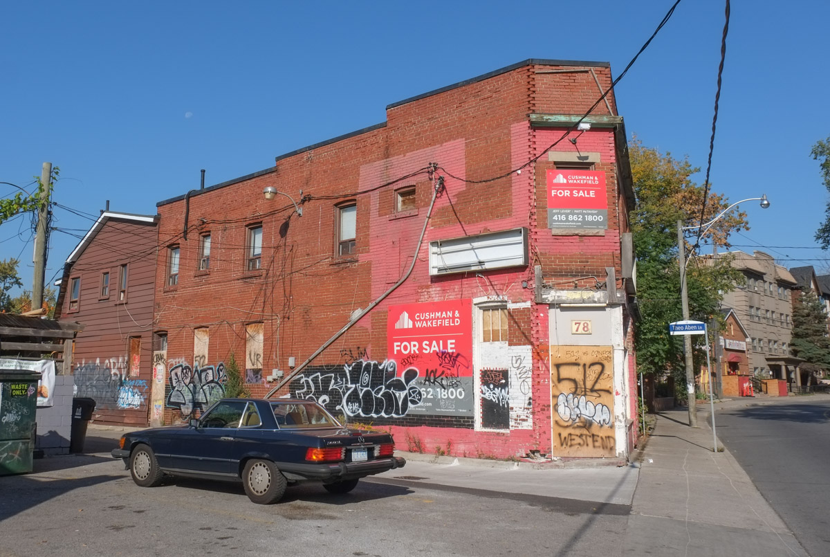
Back to early October 2023 … many other houses were empty and boarded up


… and many other houses have already been demolished.
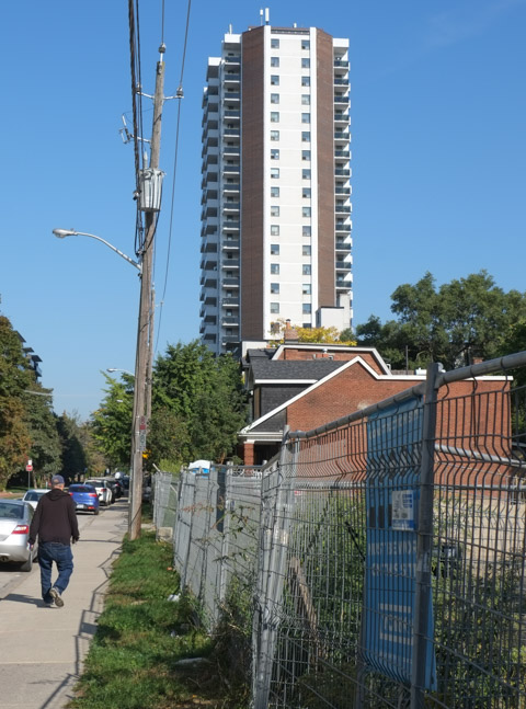


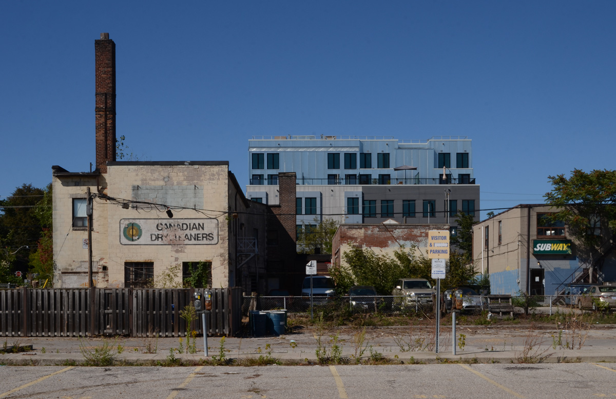
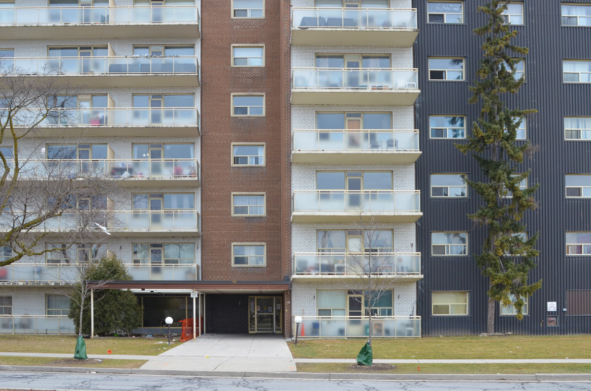
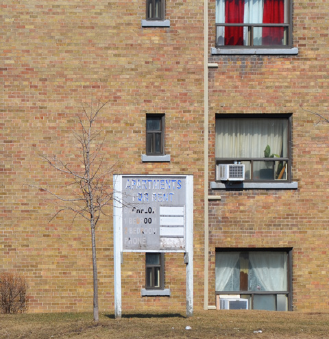
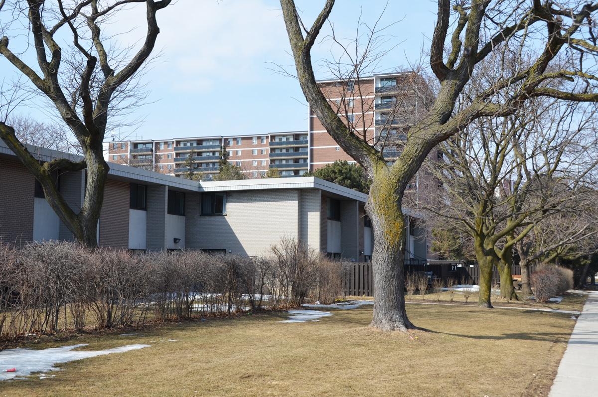
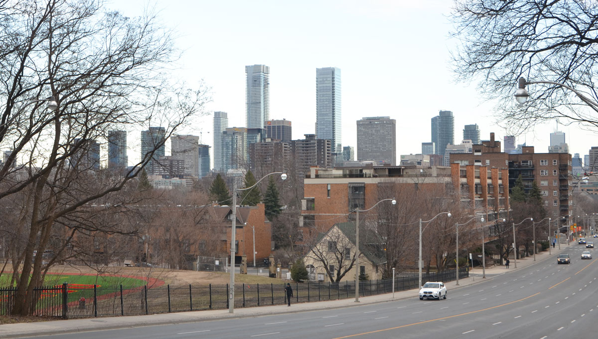
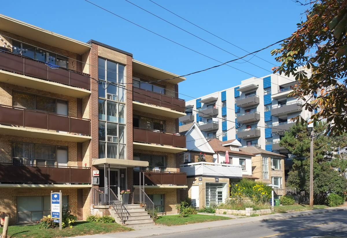
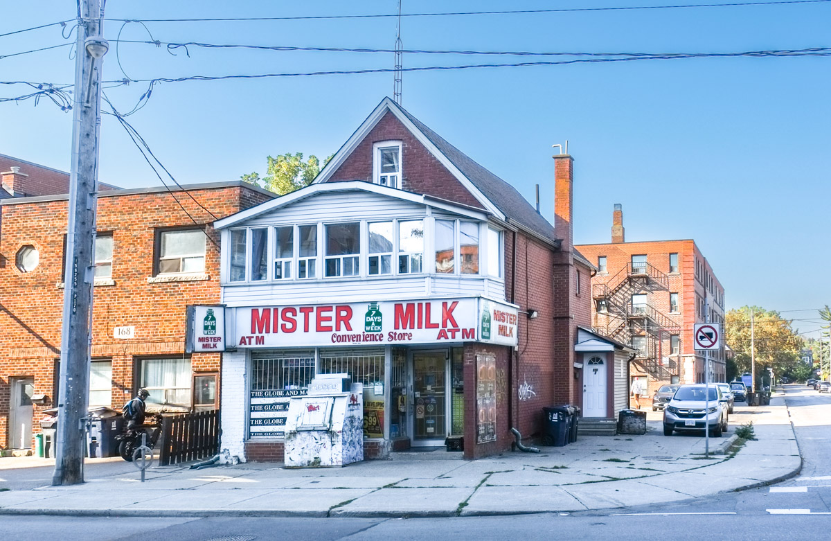
In the above picture you can see that this area has some older smaller apartment buildings. Raglan Road runs parallel to Vaughan Road, home to many mid-sized older buildings.


below: Linked buildings

Once it was the Happy Family Restaurant. Now someone (a happy family?) lives there.

…. other businesses are boarded up. This was the Dutch Dreams Ice Cream shop before they moved farther south on Vaughan Road. While it sits empty it is a space for graffti. Dutch Dreams had moved out before December 2015.
below: Just wait – Not sure what we’re waiting for but I see an alpha and an omega on a death moth?

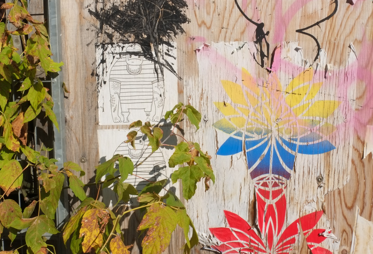
below: Peeling and faded. Sailor dude and some colourful designs.
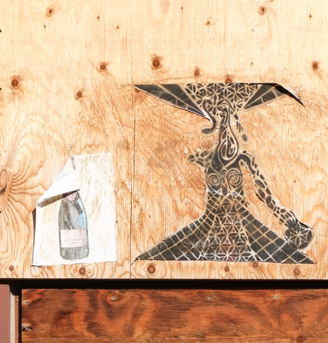
below: Elaborate probably female form with gown and hat beside a not so elaborate wine bottle. The label on the bottle says Lutte Libre Bruht.
below: They’ve been here a while – Urban Ninja Squadron’s T-Bonez in various poses including dressed as Robin, the Boy Wonder.

below: Give Love and be a Hero

In the summer of 2020 there was fire in the adjacent building that impacted the old Dutch Dreams building too. That was three years ago. It is a pity that empty buildings sit for so long especially since nothing good comes of it.

More people – Street musicians playing on the sidewalk.

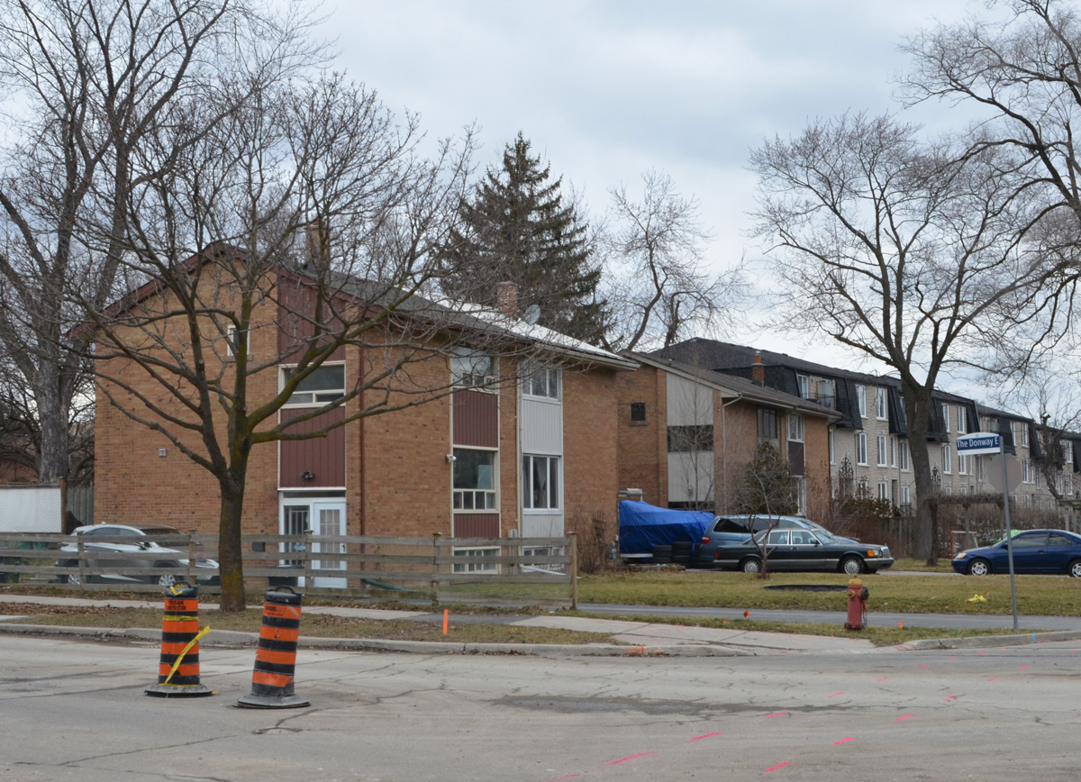
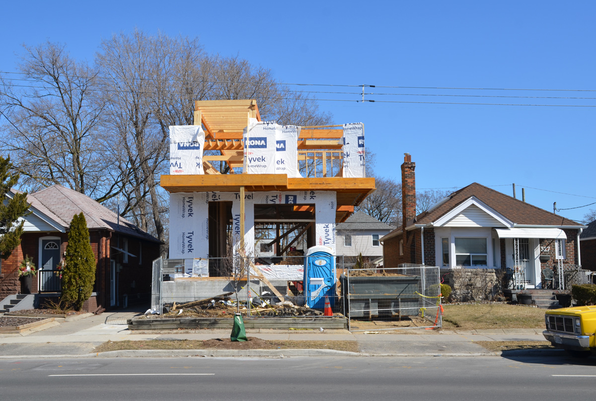
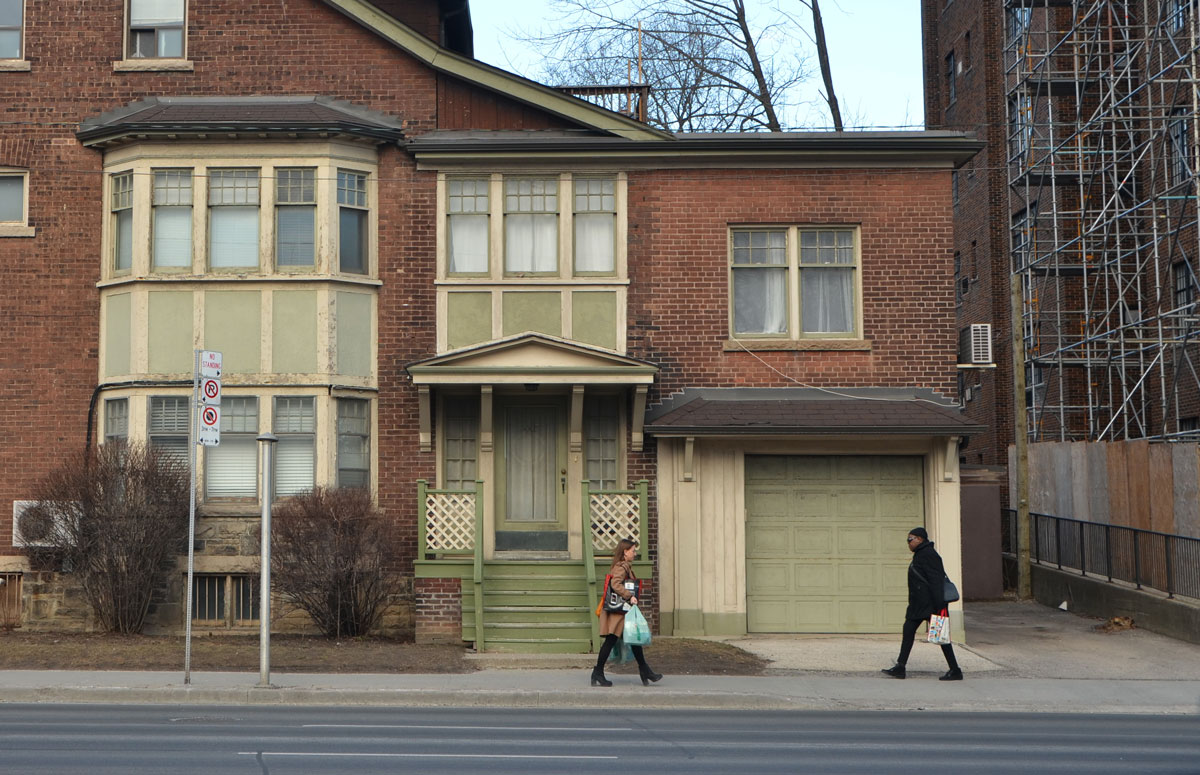
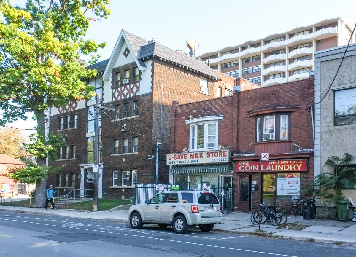
As I walked around the neighbourhood I noticed a mix of architectural styles and building sizes.
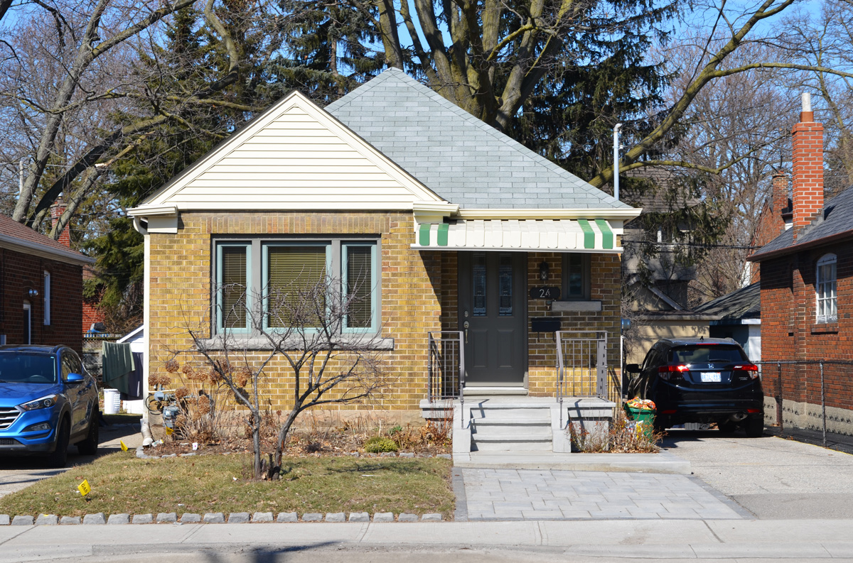
From single family….


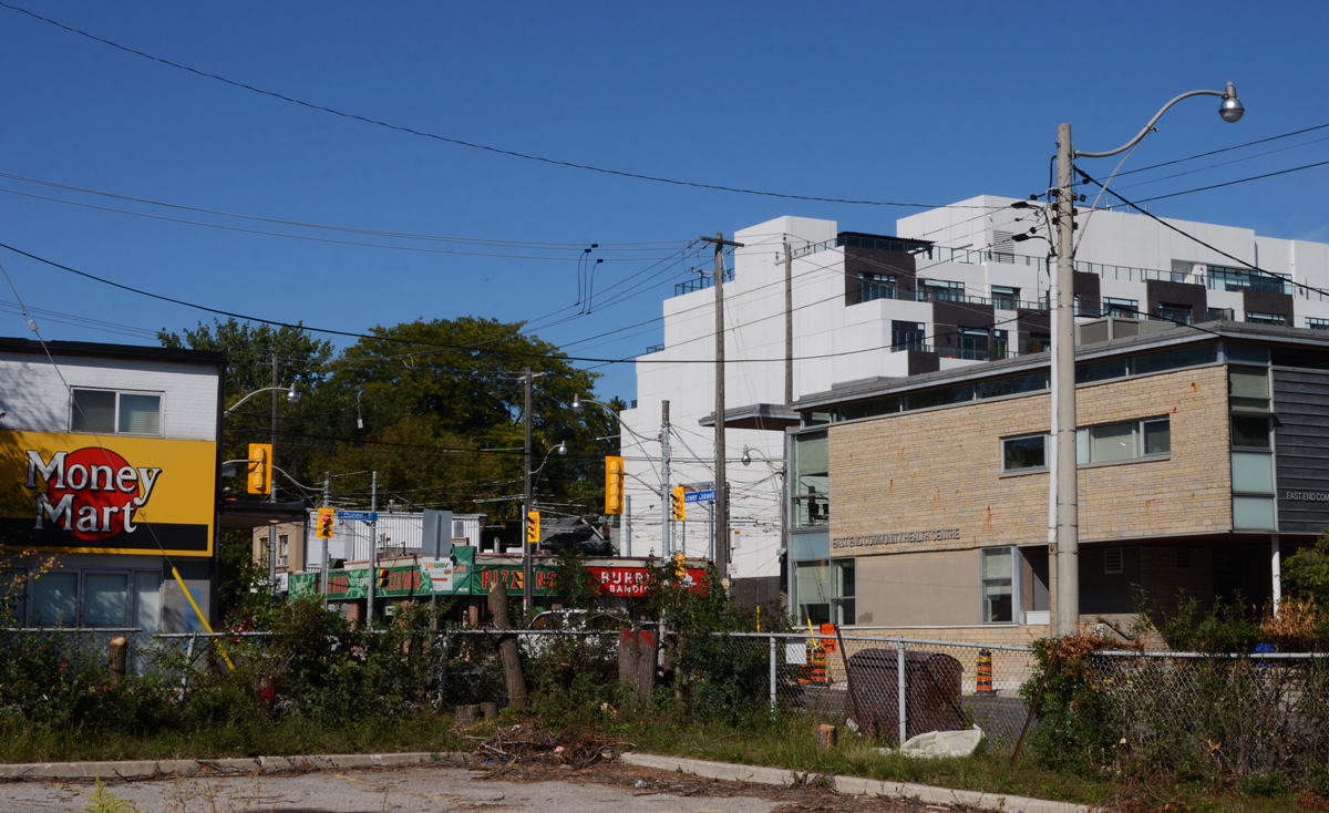
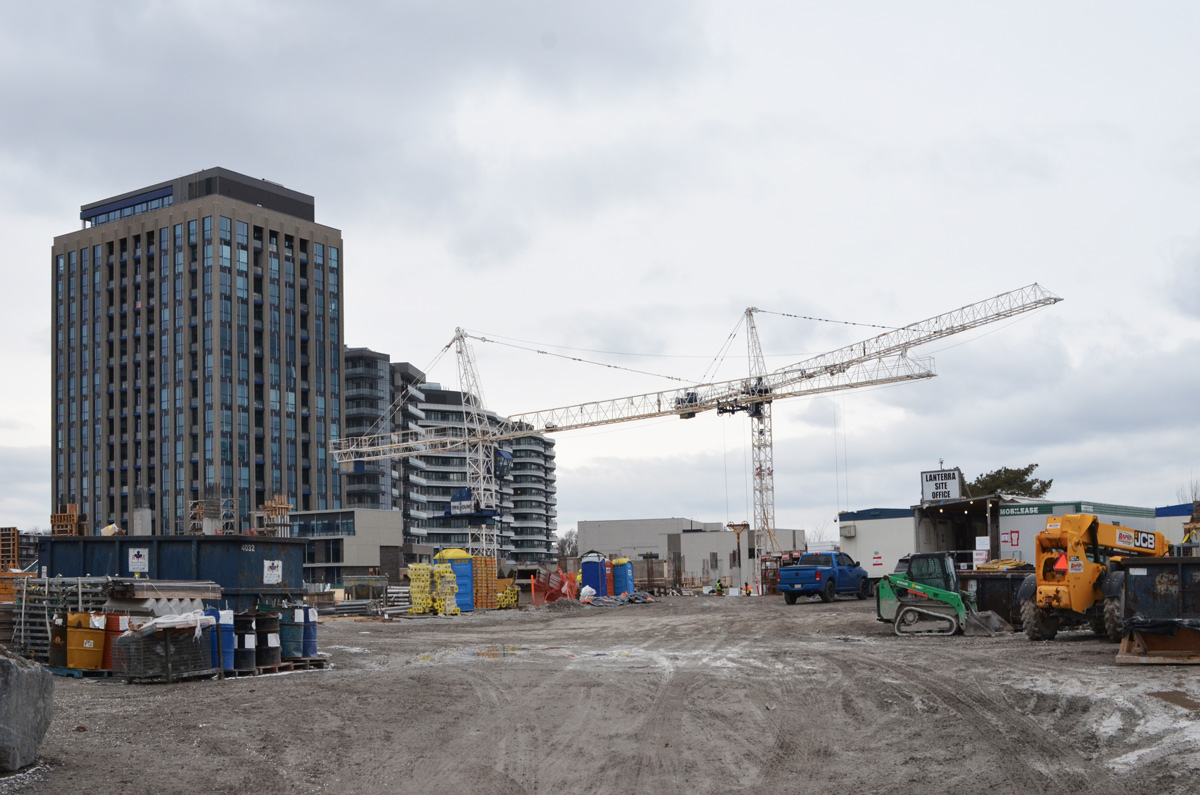
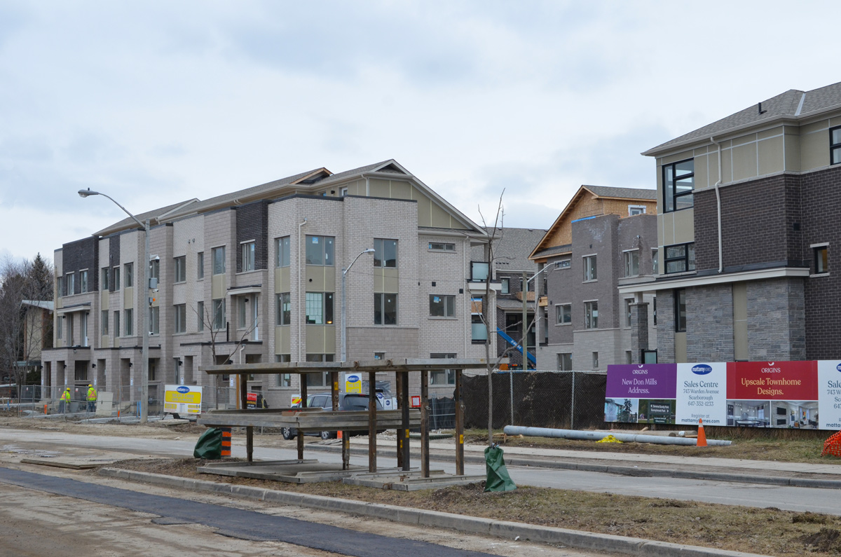
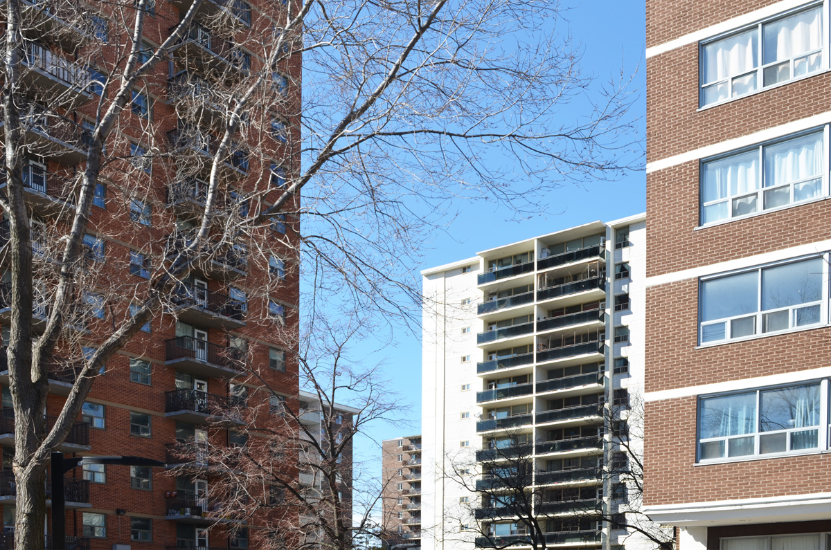
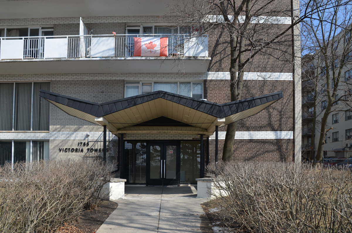
Through midsized apartments like the older ones shown above as well as some newer ones….

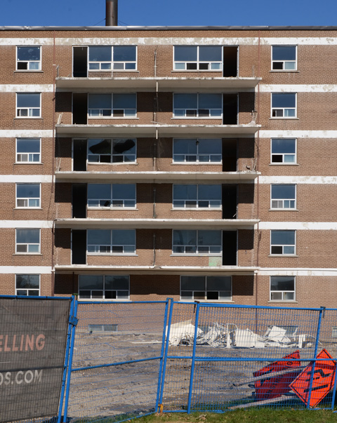
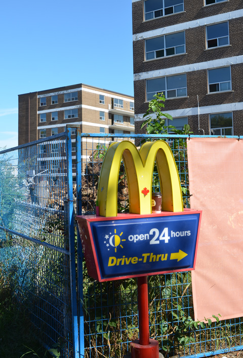
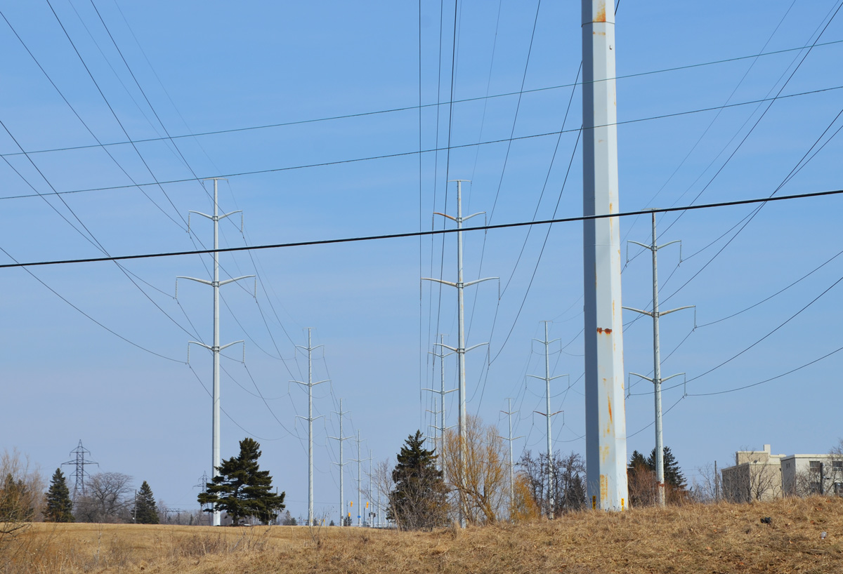
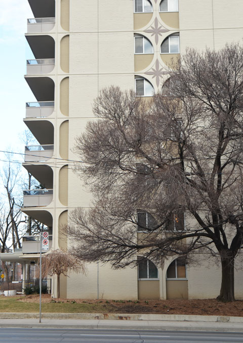
… To massive apartment buildings

below: Southwest corner of St. Clair and Vaughan Road

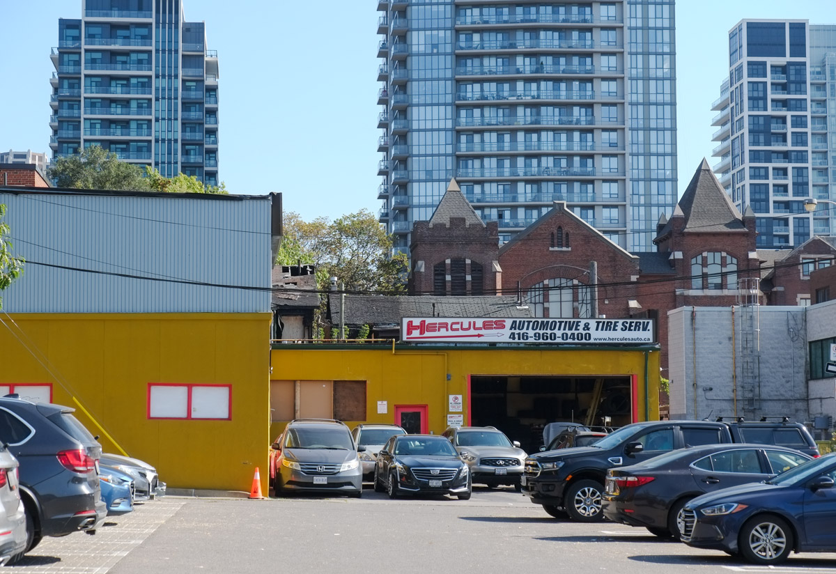
below: The bright yellow building of Hercules Automotive and Tire Service in an alley behind St. Clair. The top of St. Alphonsus R C church can be seen above it.
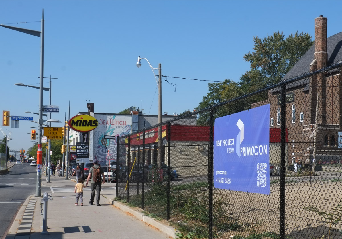
below: Walking westward on St. Clair approaching Wychwood Ave with yet another vacant lot.
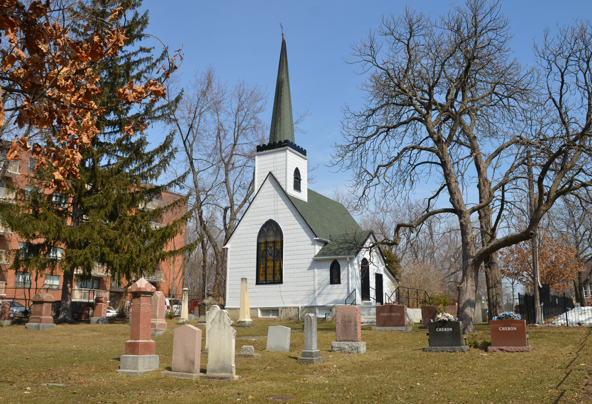
below: St. Clair Avenue Baptist Church, on this site since November 1924.

below: Beside St. Alphonsus RC Church at Vaughan Road and St. Clair.


below: Kenwood
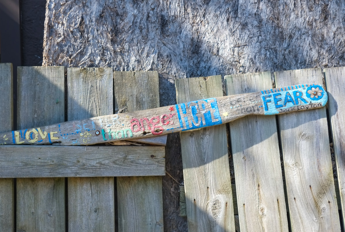
below: A Jack Layton quote: “Love is better than hate; Hope is better than fear.”

“AND people stayed home and read books and listened and rested.
… and learned new ways and stopped and listened more deeply
… and people began to think differently. And people healed
… AND when the danger ended and people found themselves, they grieved for the dead … and made new choices … and dreamed new visions… and created new ways of living… and healed the earth as they were healed.”
below: “My Blue World – I know a place where the world is still where time and space have no hold” Painting by Elly Dawson 2020. Poem by Lanna M.

below: A large Canadian flag hangs over the Toronto skyline.

Also in Helen Porter Lane, someone has taken advantage of the space here to build new housing.

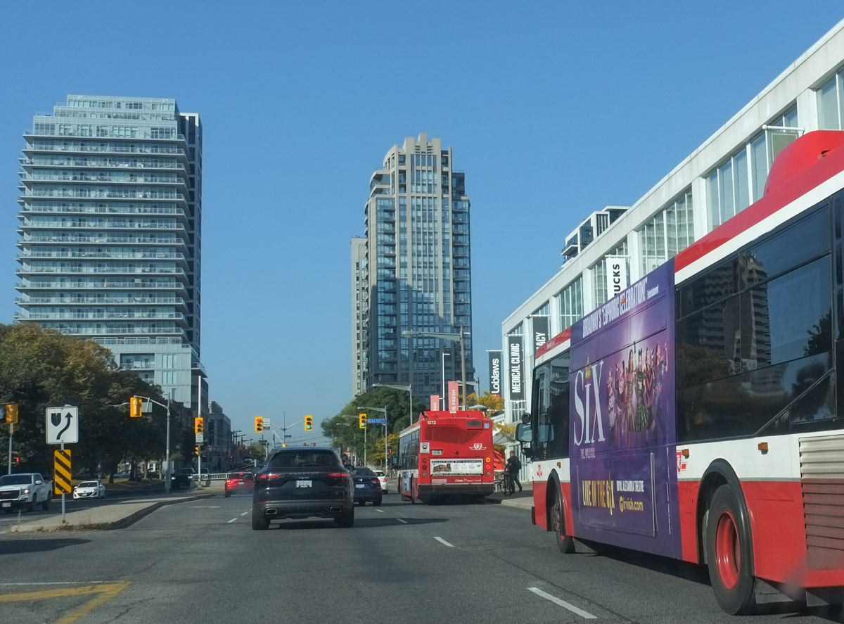
The orange sign on the streetcar stop says that the 512 St. Clair streetcar stopped running early in September 2023 and will be out of service until summer 2024. The whole line from Yonge to Gunns Loop

below: Westbound TTC buses on St. Clair
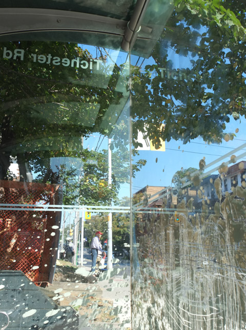
While we’re on the subject of the TTC, one very dirty bus shelter!
Stop – Take a Breath