


I was out earlier this evening, venturing out to a gallery opening on Avenue Road near Dupont. It wasn’t meant to be a photo taking adventure but it was a sunny evening and rather than wait for a bus on Avenue Road, I started to walk. It didn’t take long before the camera came out (yes, I usually have it with me!). Have I walked here before?

On Avenue Road just south of St. Clair West there are quite a few older apartment buildings and most are in good shape.
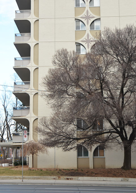
below: It’s nice to see that this building is being renovated.

below: Most of the apartment buildings in the area are mid to low rise. If I remember correctly, the building on the right is the tallest (and newest?)

below: You don’t see brickwork or stone details like these on newer buildings.

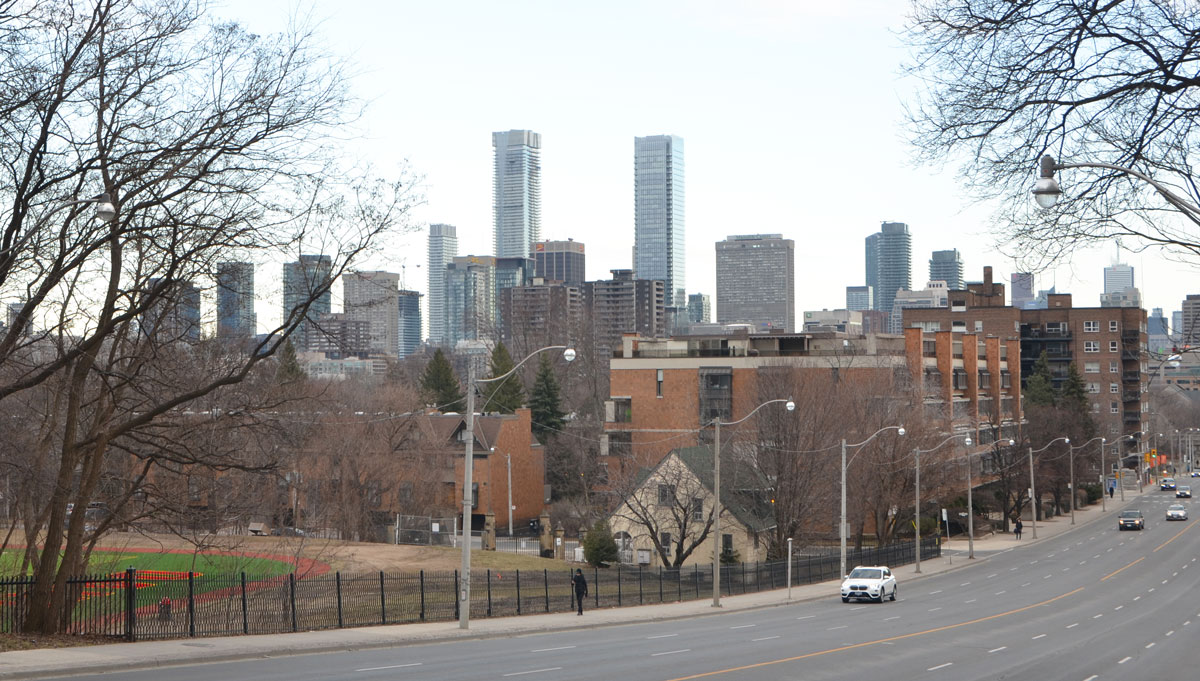
below: Looking southeast, generally towards downtown, as you come down the hill on Avenue Road. The bright green and red on the left is the De Lasalle College playing field.
below: Mural along the side of the lead up to the railway bridge.
The signature is Leventhal ’96

below: Under the railway tracks. I thought that the blue tiles were a nice feature – are there other tiles like this under any other Toronto bridges?

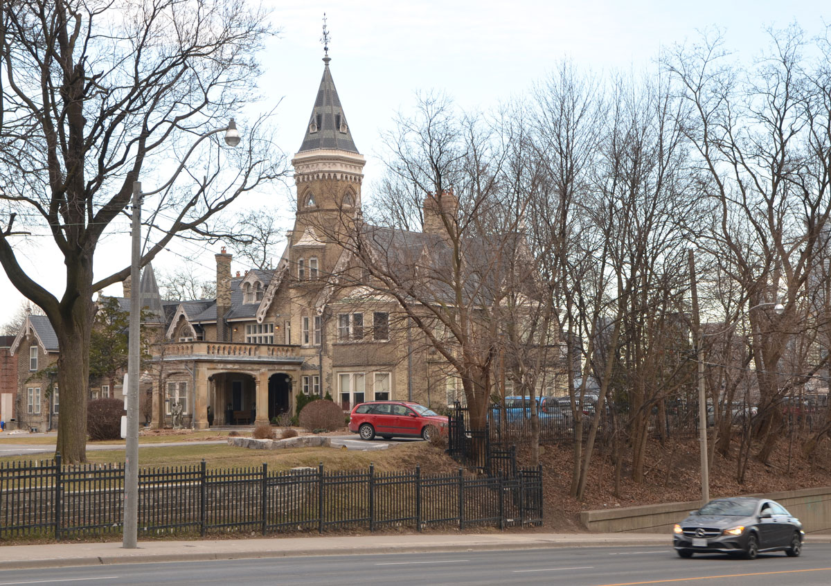
below: The turret (steeple?) of De Lasalle College
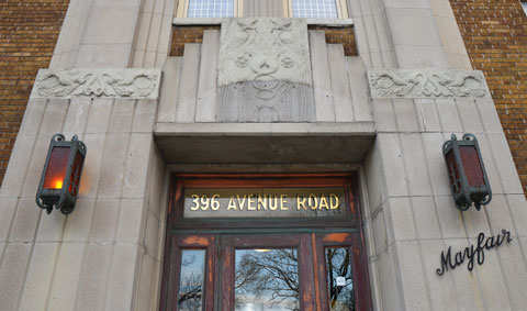
below: One of the entrances to the Mayfair Apartments.

below: Another of the entrances (there was at least one more). The stonework is similar but the old light fixtures are still in place. In the picture above, you can see the holes where the lights once were.
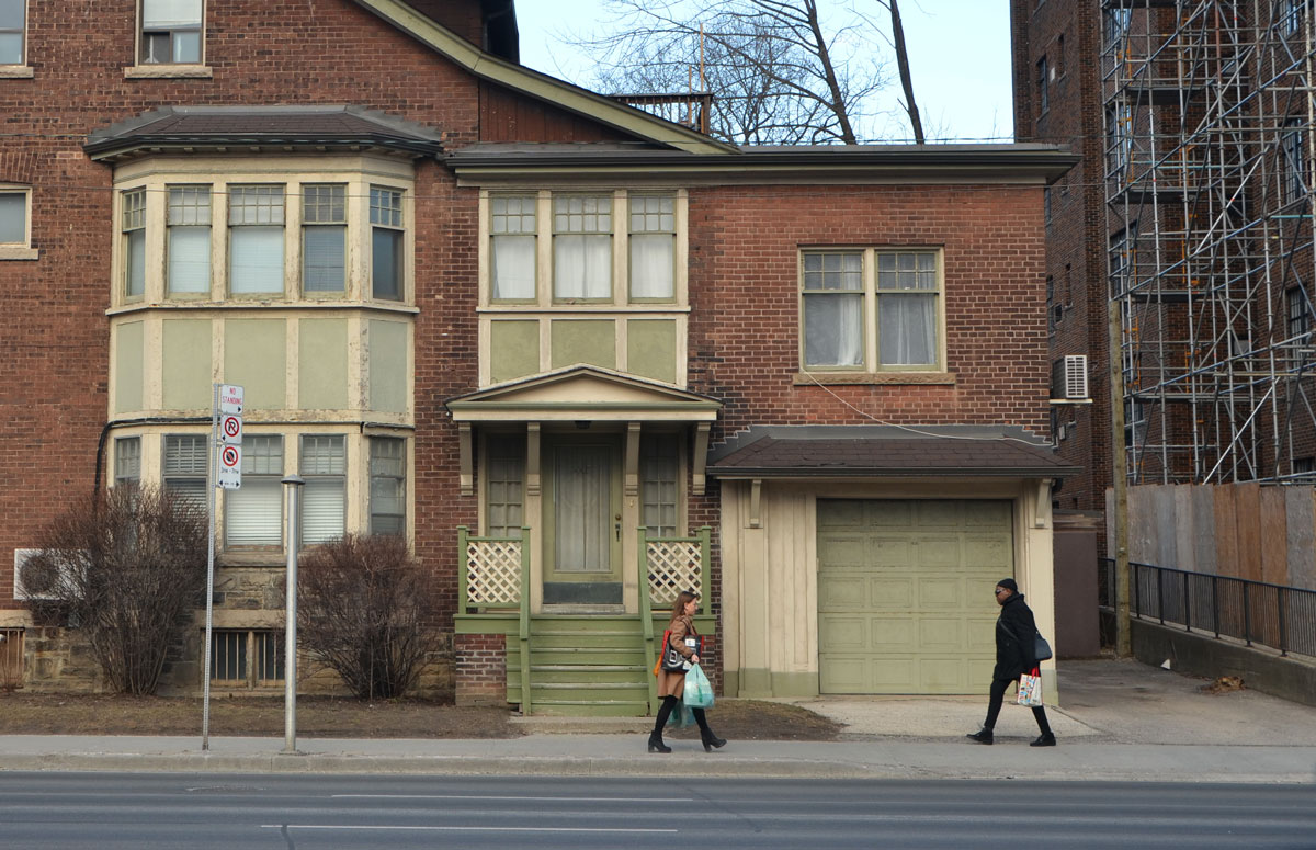
below: Old wood door on Avenue Road.

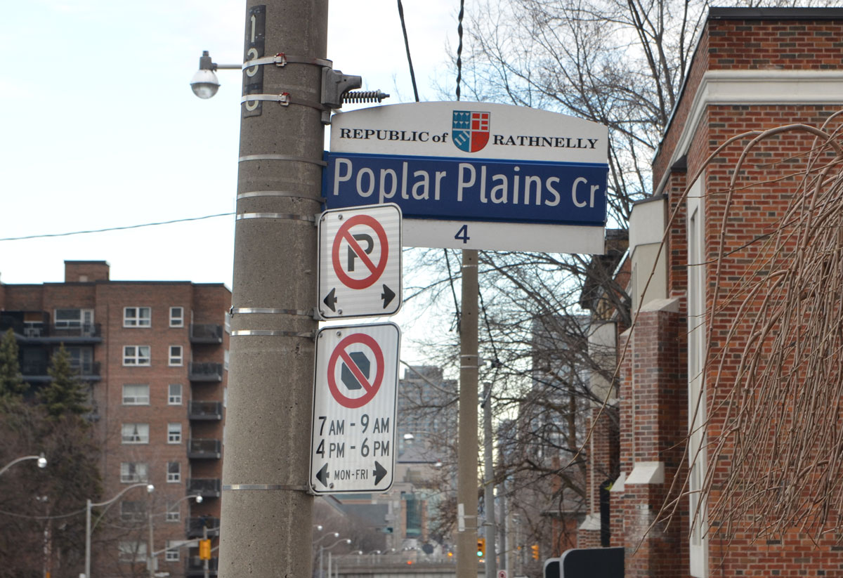
below: The first signs of a republic… I had heard about the Republic of Rathnelly but I didn’t know anything about it, including its location. Back in 1967 the residents of the officially seceded from the rest of Canada, originally as a form of protest against the proposed Spadina Expressway that would have physically divided the community. The founders named their republic after Rathnelly Avenue which runs parallel to Avenue, one street to the west. Rathnelly Avenue was named after William McMaster’s birthplace of Rathnelly, Ireland. (McMaster Avenue is there too). William McMaster (1811-1887) was a founding president of the Canadian Bank of Commerce between 1867 and 1887. He was also a senator. The special street signs were designed in 2012.
below: A painted sign on the side of The Avenue Diner (at Davenport Road). It was closed when I walked by so I’ve made a note to myself to go back and see if the interior has changed much since 1944.

below: Across the street from The Avenue Diner is the Havana Coffee Bar. The old building still has a ghost ‘Tamblyn’ sign on it. To me, Tamblyns was a drug store but was it something else prior to that? I can’t read the smaller word below ‘Tamblyn’ on the building. …. A quick check and the answer is ‘no’ – Gordon Tamblyn opened his first pharmacy in 1904 and by the time he died in 1933, he had a chain of about 60 stores.

…and then I found myself in Yorkville but that’s a whole different story!


It’s posts like this one that remind me of how much of this city I don’t know. Most interesting was the Republic of Rathnelly. Of course you sent me down a rabbit hole to read more about this eclectic neighbourhood. They have a website with many old photos from the Toronto Archives. Very interesting.
Great pictures and great post!
I meant to link to their website! In the morning. Well, later this morning! Toronto is a big city!
Ahhh – so you are either an owl, or like me, unable to sleep 🙂
It is a big city and so much to explore!
The Republic of Rathnelly is neat Toronto lore. I like that ghost sign too– will have to look for it!
[…] I have mentioned the Republic of Rathnelly in a previous post, back in 2017. From that post , “Back in 1967 the residents of the officially seceded from the rest of Canada, originally […]