


Another walk with a friend. Back in June when I asked Lucie if there was a coffee shop near her house where we could meet, her answer was “my house”. Since we were both double vaxxed, I felt safe going. So nice! We started near Avenue Road and Dupont and generally walked northwest before looping back. Here is some of what we saw (in no particular order).
below: Dupont near Madison

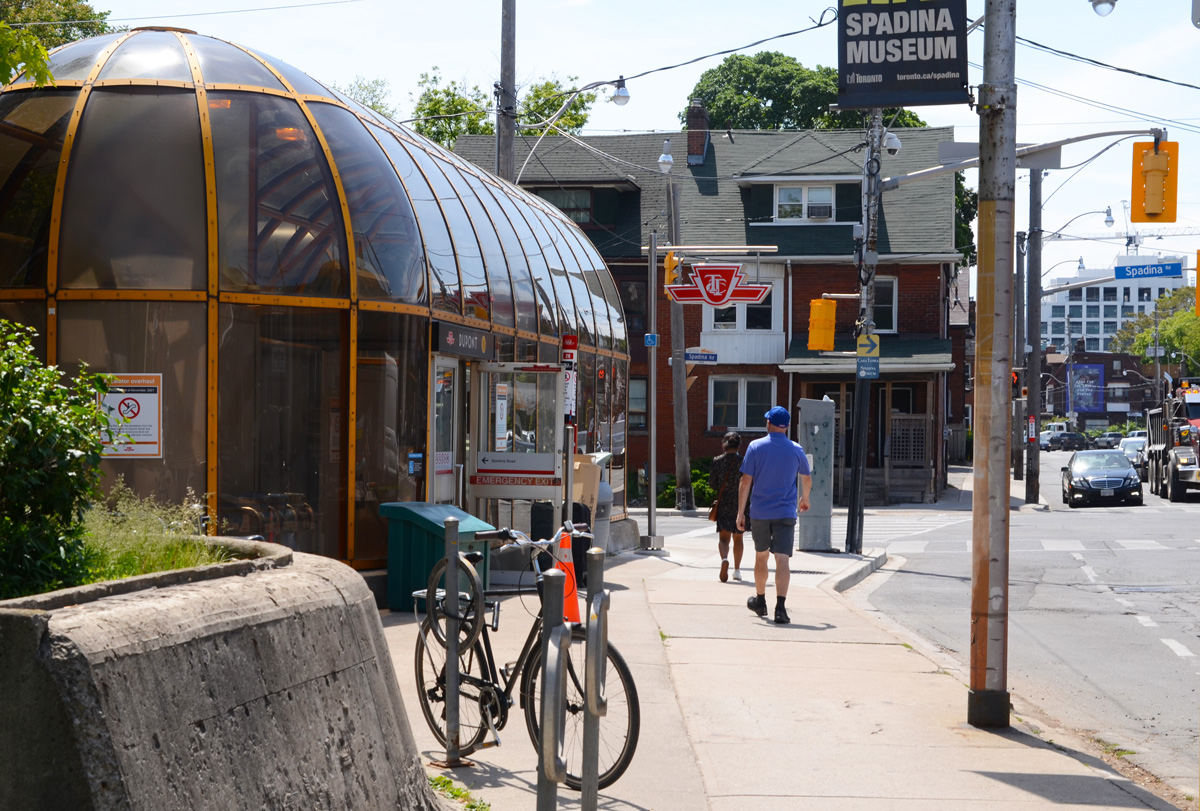
below: North side of Dupont at Spadina with the rounded structure of the subway entrance on the northwest corner.

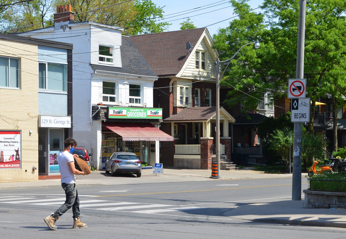
below: South side of Dupont at Spadina

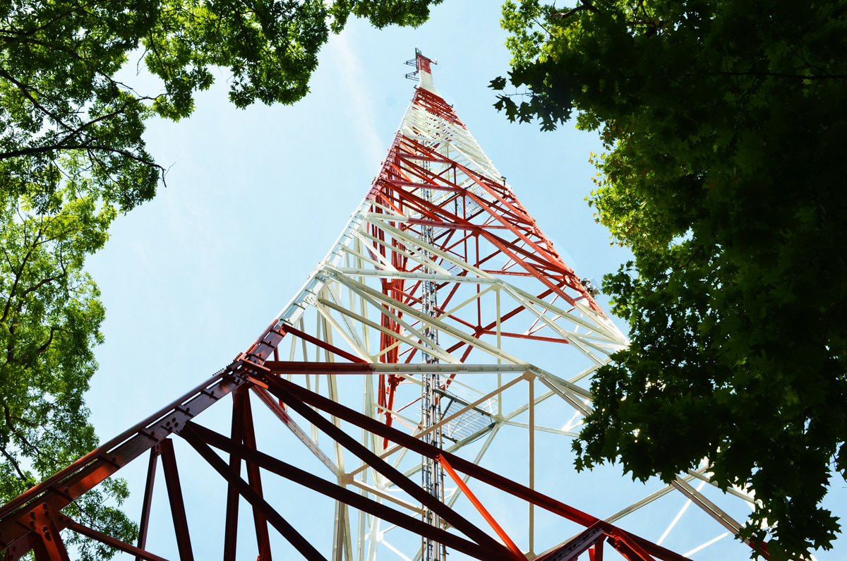
below: Casa Loma peaks over the railway tracks that run parallel to Dupont.

below: Murals on the underpass.

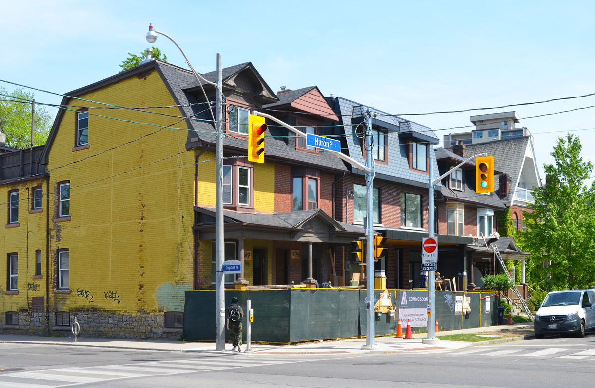
below: Boarded up houses waiting for redevelopment at Huron and Dupont.
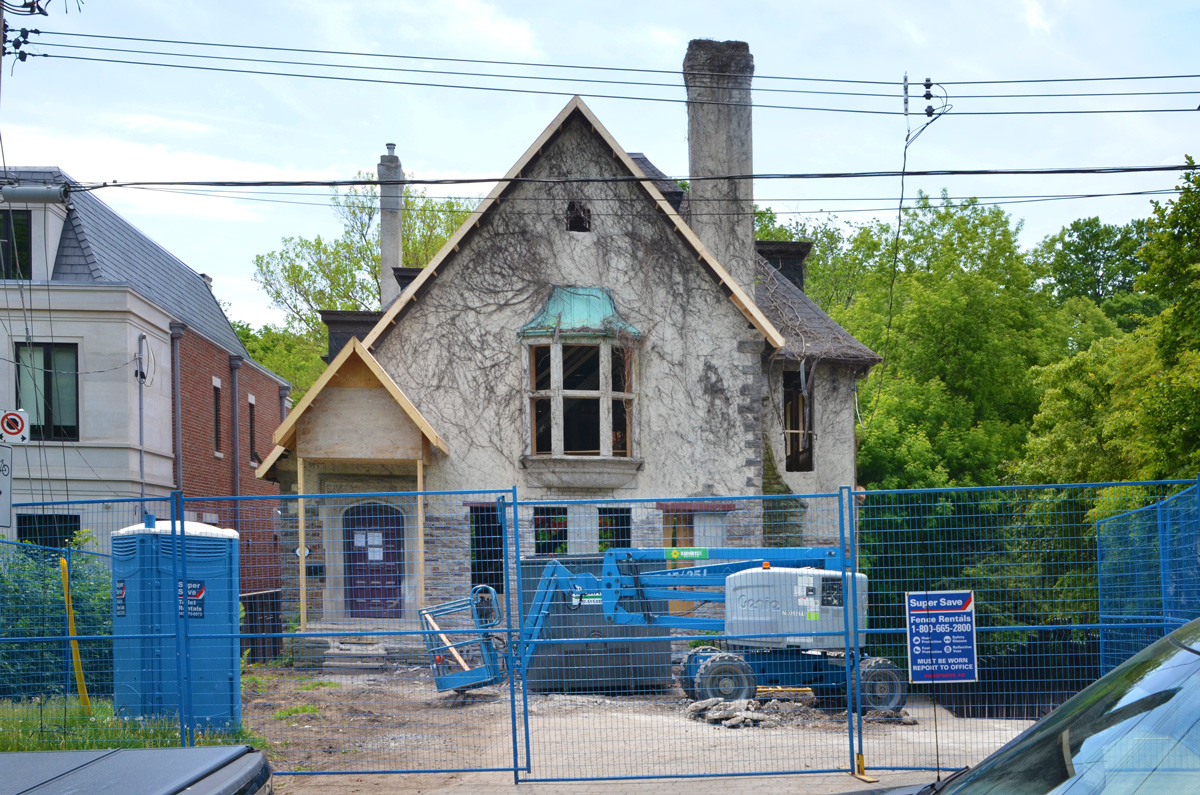
below: Gutted but preserved.
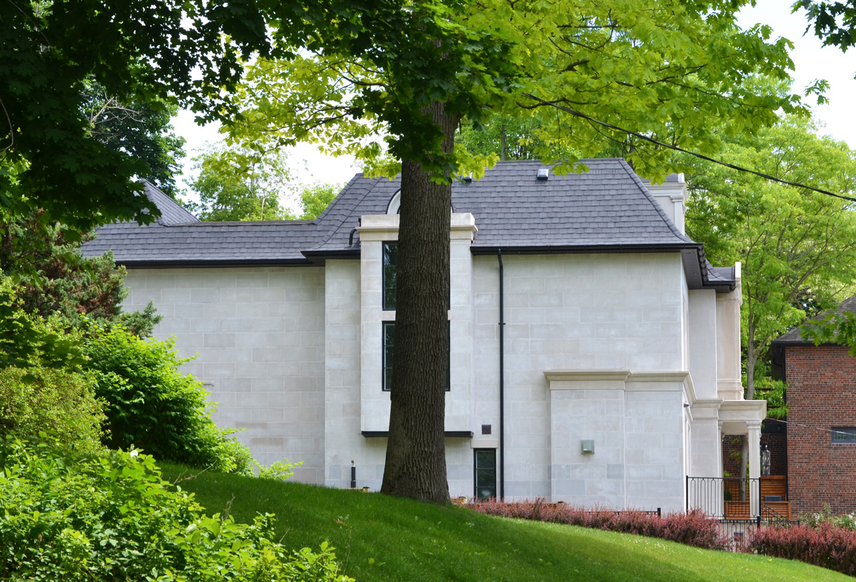
below: It was for sale – for 9.5 million it could be yours! But I’ll bet it’s already been snapped up.
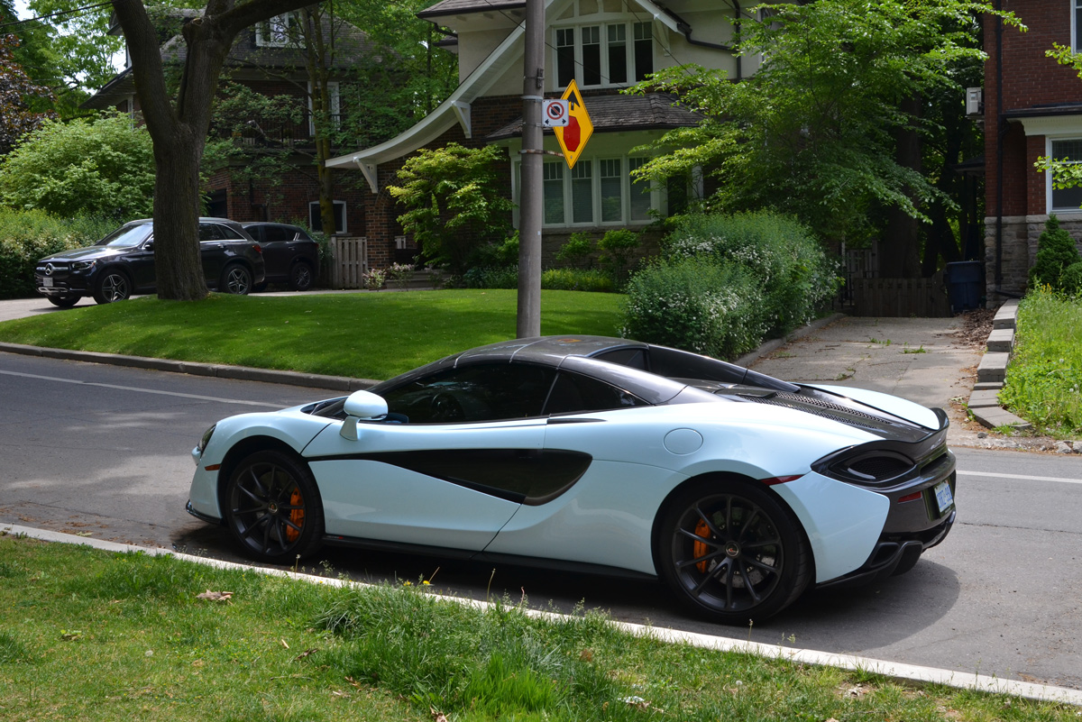
below: … and you can park your McLaren on the street.
below: I have mentioned the Republic of Rathnelly in a previous post, back in 2017. From that post , “Back in 1967 the residents of the officially seceded from the rest of Canada, originally as a form of protest against the proposed Spadina Expressway that would have physically divided the community. The founders named their republic after Rathnelly Avenue which runs parallel to Avenue, one street to the west. “

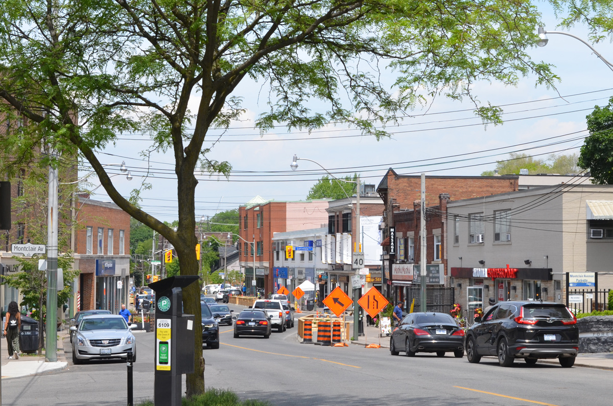
below: Forest Hill village
below: I want you to have better coffee AND wear a mask!

below: Not all nature in the park is people friendly! Best just to leave them alone!

below: Condo development beside the park. It’s everywhere

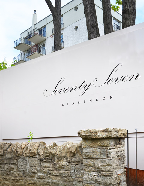
below: The hoardings are up on another redevelopment site at 77 Clarendon.
below: This building has been boarded up for a long time. It’s a three story apartment building with 17 units. It sold as a vacant building in October 2020.

below: And last, the start of another. The blue and white notice stands in the front yard of an older house.

below: There are now coyote warning signs in Toronto parks as some coyotes have been spotted around the city. This one has had a “Let kids play” sticker which was a campaign during COVID lockdown to keep the playgrounds open.

below: Stephen Harper lingers on.

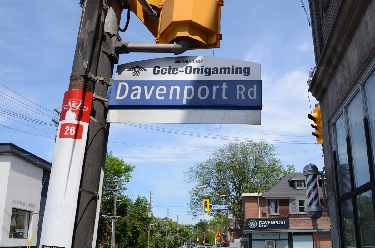
below: Davenport Road and its Anishinaabe translation, Gete-Onigaming
below: Still surviving, the green ‘The Annex’ decoration on this Bedford Road street sign.

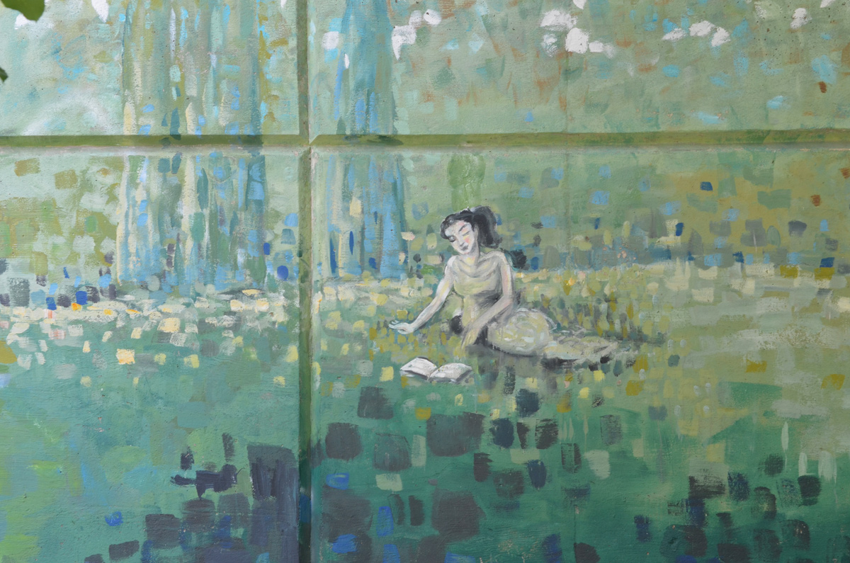
below: Part of an old mural on Avenue Road (painted 1996)
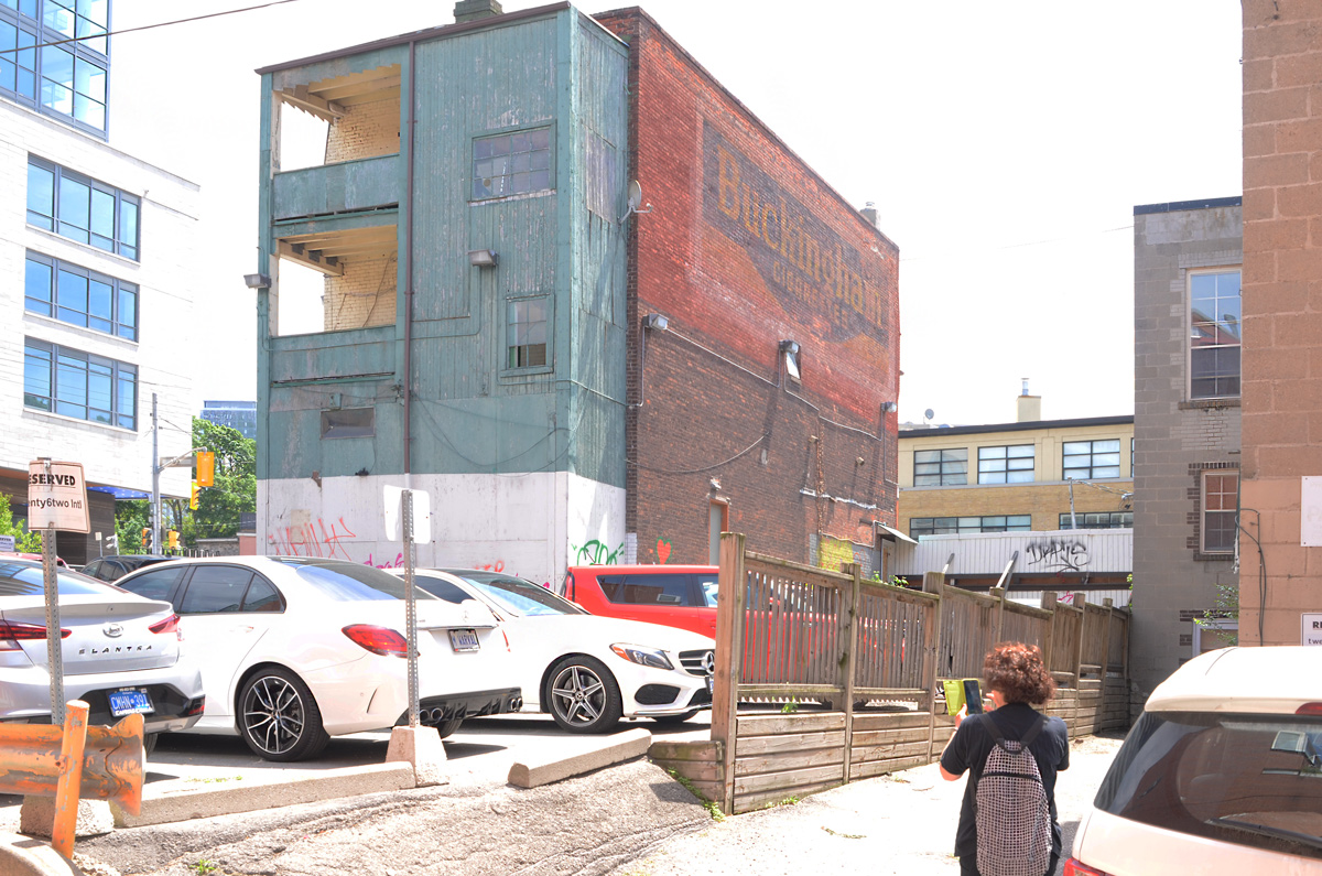
below: Ghost sign, Buckingham Cigarettes on the brick exterior of a building on Davenport Road
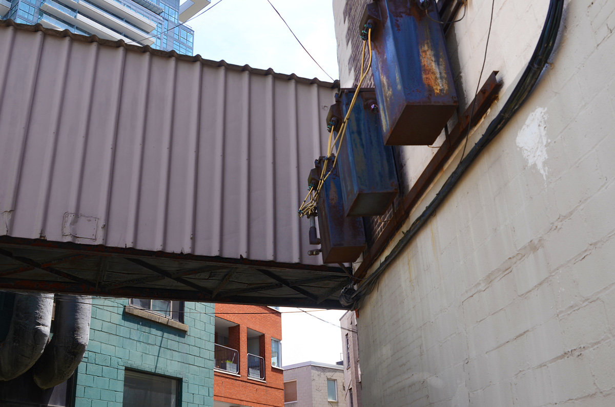
below: Remnants of bygone days in an alley

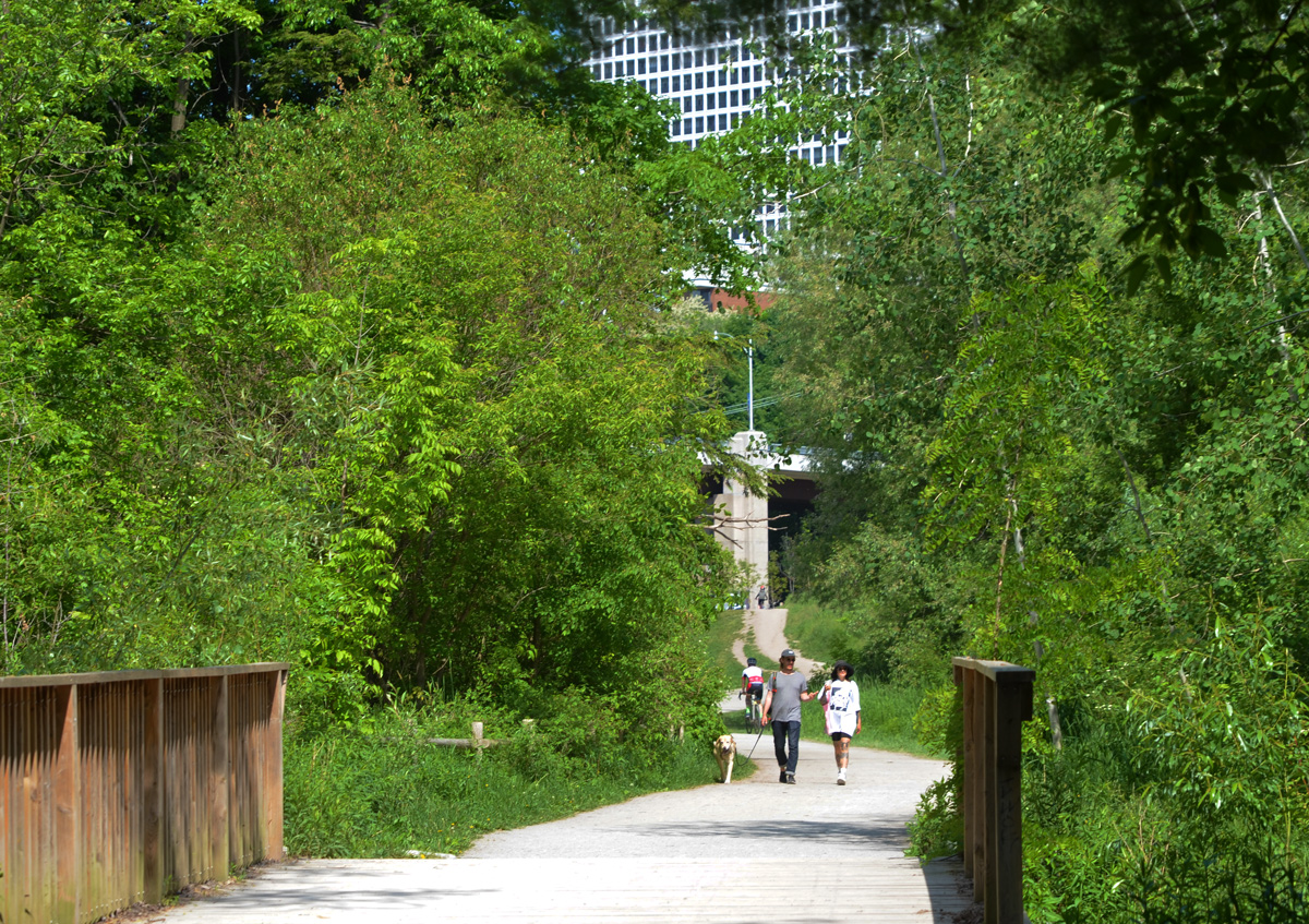
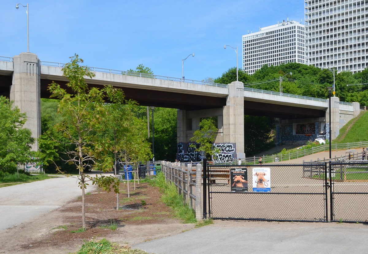
below: Spadina Road bridge over Nordheimer Ravine with dog park on the east side – view from Winston Churchill Park which sits on top of the St. Clair Reservoir.

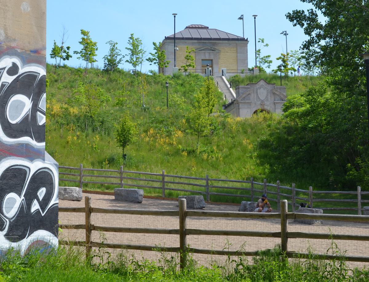
below: St. Clair Reservoir entrances. The reservoir was built in 1931 on lands that were donated as part of the Eaton estate. The reservoir is made up of two basins which hold a total of 254 million litres – enough to last the city 3 weeks of average use. The park was closed for a long time while the reservoir was modernized but it is now open again.
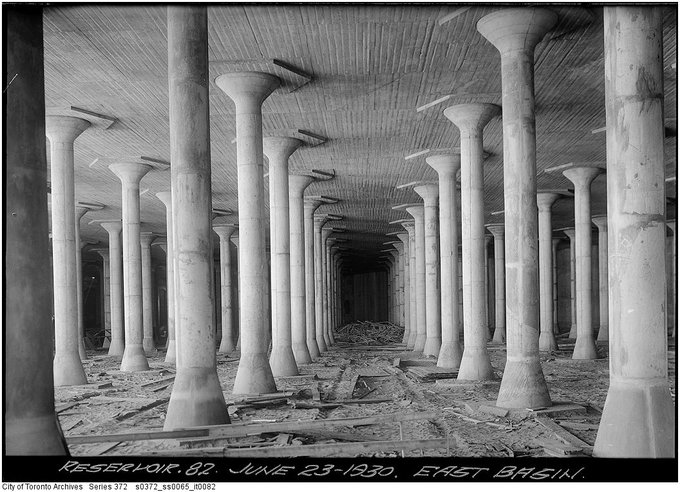
below: From the City of Toronto Archives, a 1930 photograph of the interior of the reservoir’s east basin
below: Down beside the dog park, looking at the Spadina Road bridge and taller buildings on St. Clair.
The next blog post, Nordheimer ravine – paint and paper, shows some of the graffiti and street art found under Spadina Road bridge
With thanks to Lucie for being my tour guide!

