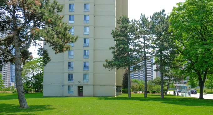
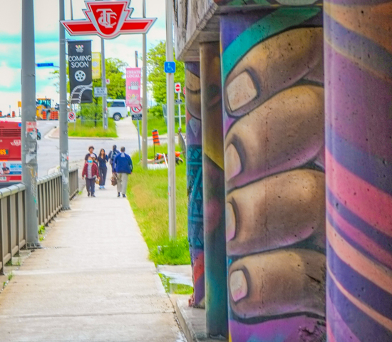
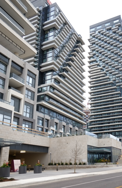
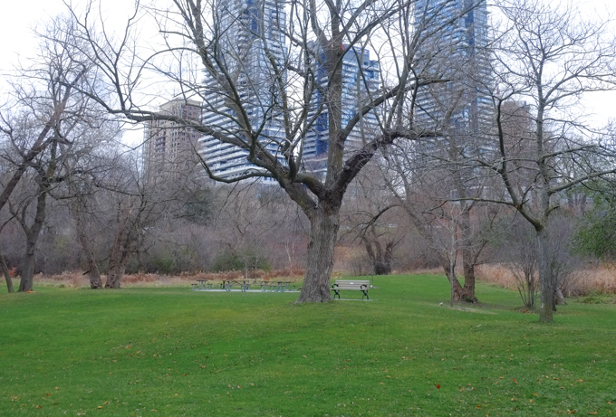
There is talk about what to do with the Scarborough Rapid Transit (SRT) line that runs from Kennedy station, north to Lawrence and Ellesmere, and then east to Scarborough Town Centre. The SRT was built in 1985 and then closed in July 2023. The concrete and glass infrastructure still remains. The tracks are gone. A few years ago, I went for a ride on the SRT (blog post is Are you going to Scarborough? ) but I never checked out the stations themselves. Since I am not sure how much longer they are going to exist, I thought I’d better take a look before it’s too late.
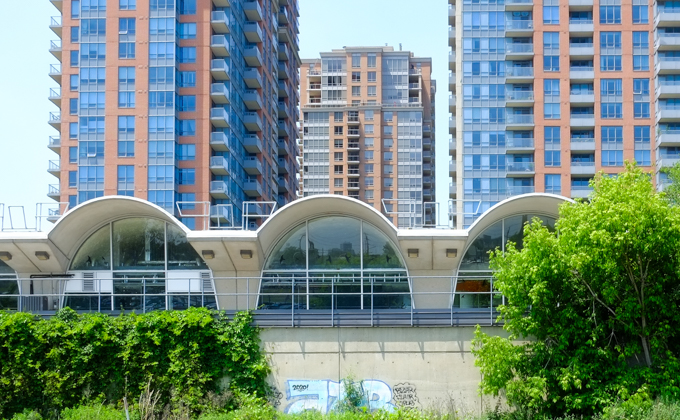
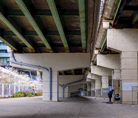
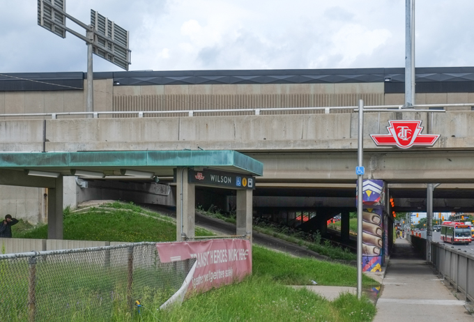
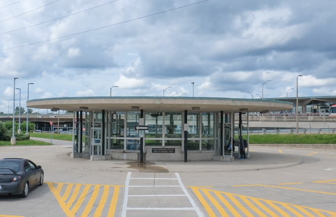
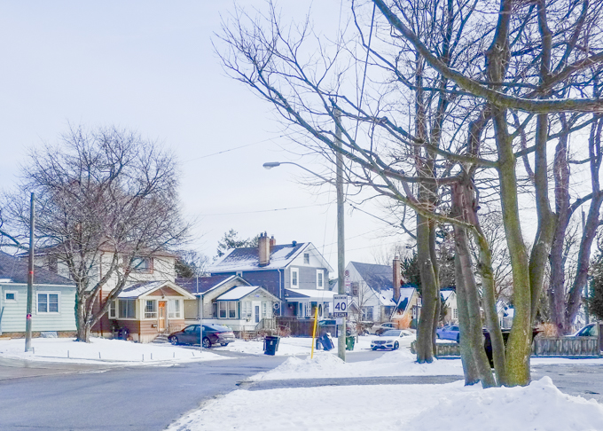
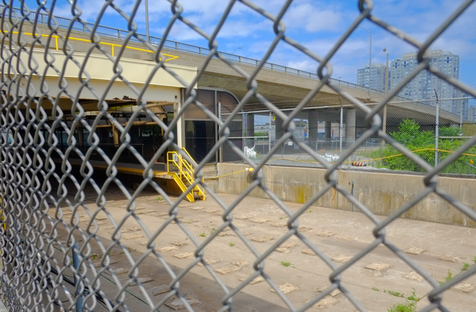
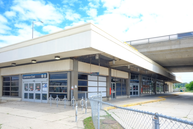
below: Lawrence East station nestles under the bridge where Lawrence passes over railway tracks between Kennedy Road and Midland Avenue.

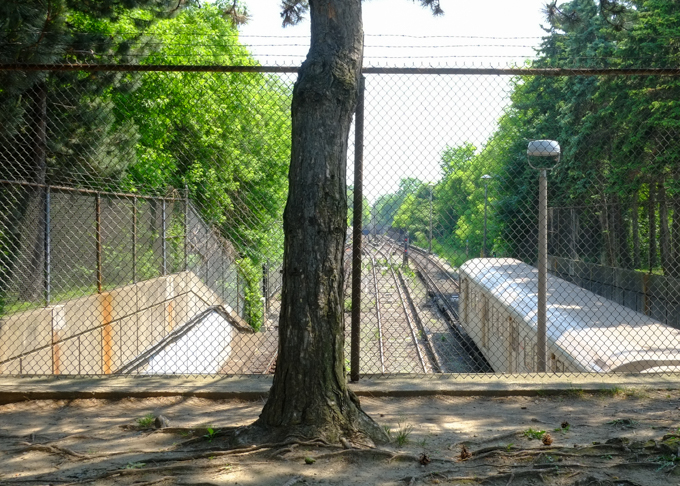
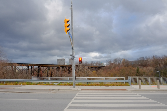
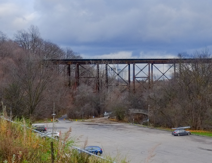
below: Although the SRT tracks have been removed, other tracks remain. These tracks continue on to Agincourt GO station and points farther north.
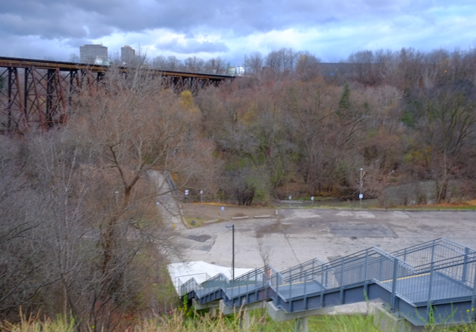
below: Looking south

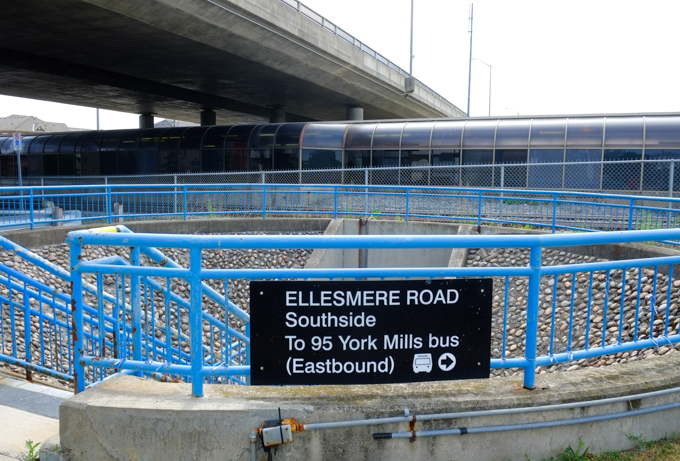
below: Signs for 54A and 954 Lawrence buses

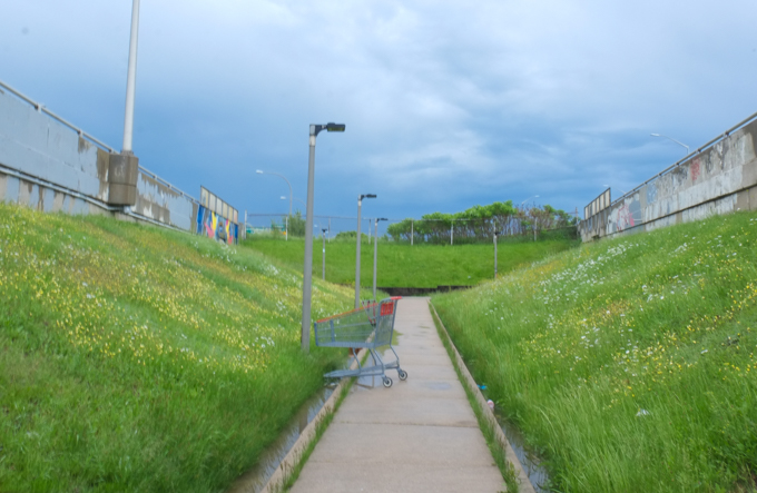
below: If you wanted to cross the tracks, this was the fastest way…


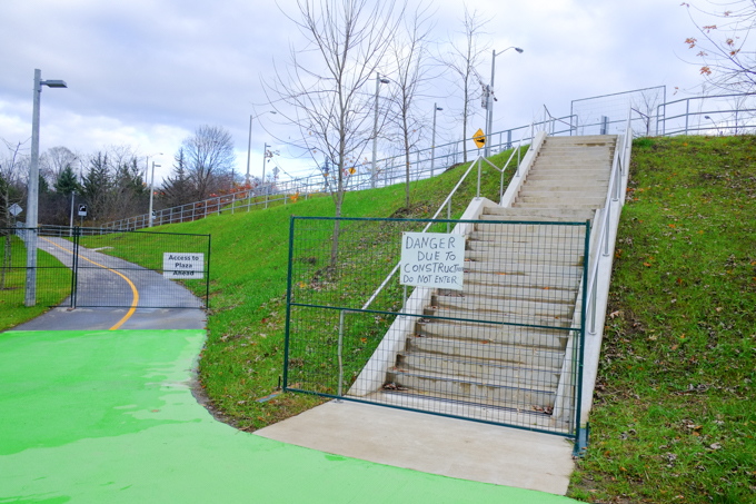
below: Permanently closed

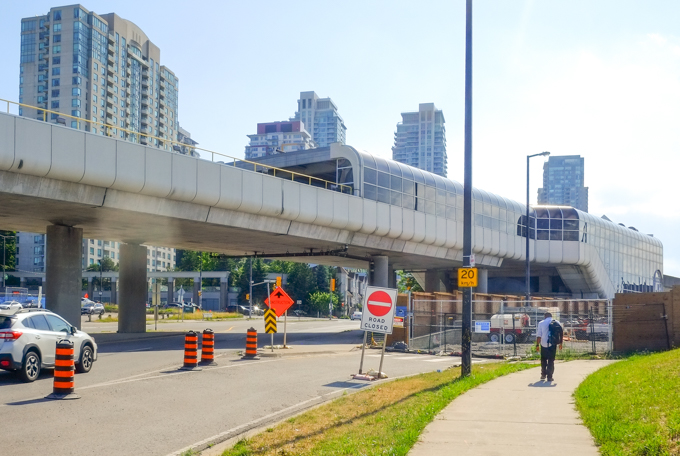
below: Mike Myers Drive with Lawrence East station in the background.

below: A short distance north of the Lawrence East station is the old Ellesmere station. It too is under a bridge (under Ellesmere of course!). It is smaller than the Lawrence East station

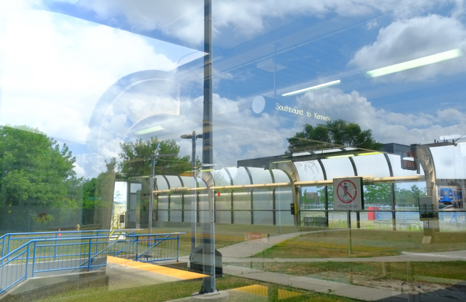
below: Ellesmere station also has the circular hole for the stairs leading to an underground passage. The station looks like a big glass tube.
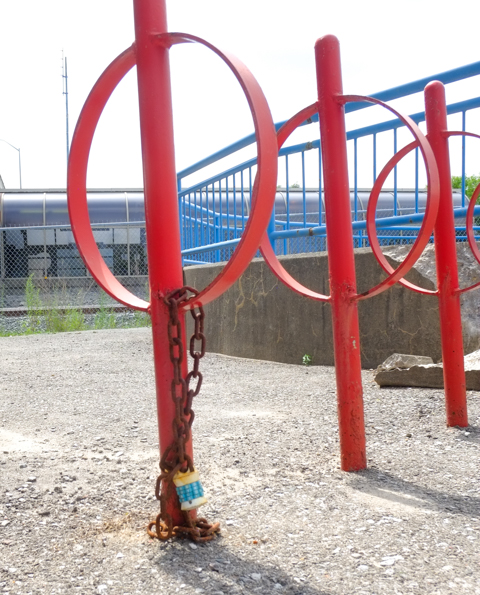
below: Someone is missing their lock.
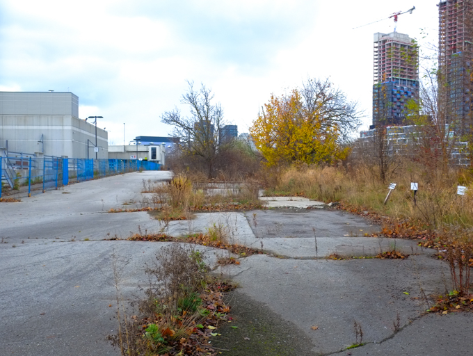
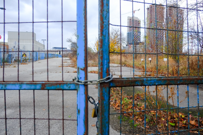
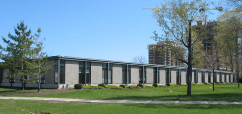
After Ellesmere station, the SRT turned east, diverging from the other set of tracks. Midland station was just after the turn – on Midland between Ellesmere and Progress. Sorry, no pictures (busier street, no parking). Although the architecture is similar (a glass tube), Midland station is built on top of a bridge, above the road instead of below it. From Midland the trains went directly east to Scarborough Town Centre. For most of thee eastern section, the tracks run behind industrial or light industrial land. I haven’t been able to find out if there is any access or if it is all fenced off.
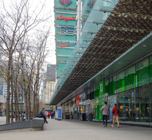
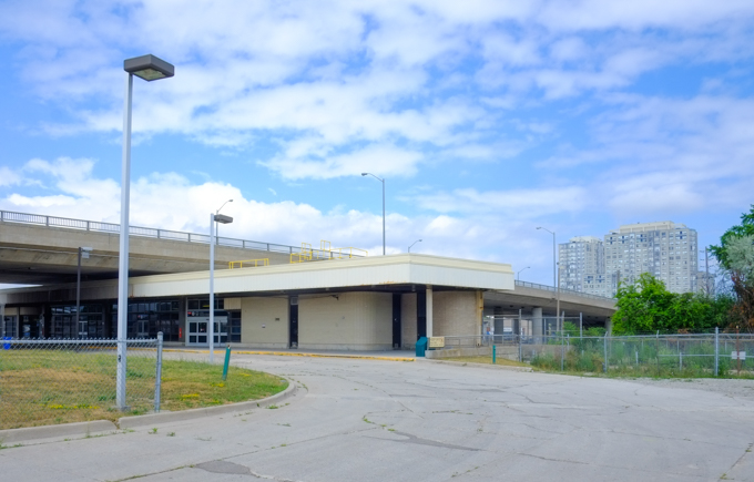
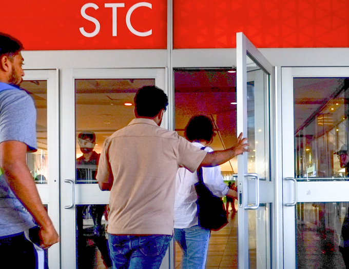
below: East view of Scarborough Town Centre station with covered walkways from both the federal government building on the left, and the shopping center on the right.
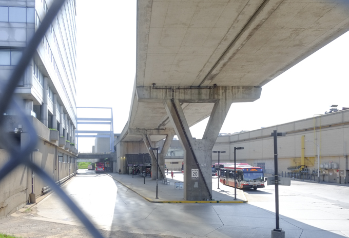
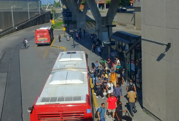
below: No trains run here anymore, but the station is still used for buses with the elevated rails being used as a roof.
below: Pillars supporting the elevated tracks still run through the parking lot of Scarborough Town Centre to McCowan.

below: McCowan station was the eastern end of the line.

below: McCowan station viewed from the east side. The tracks continued a short distance to the SRT yard where trains were housed and serviced.

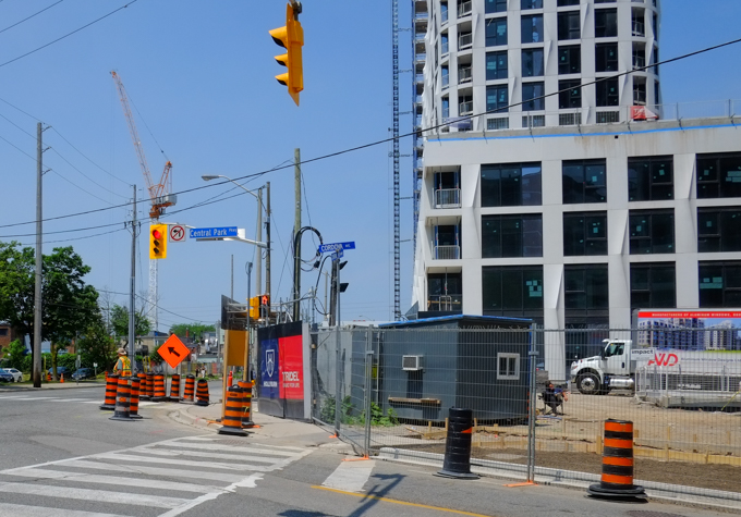
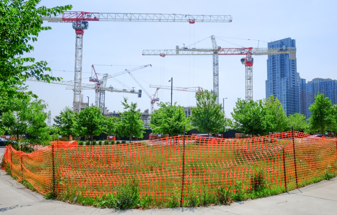
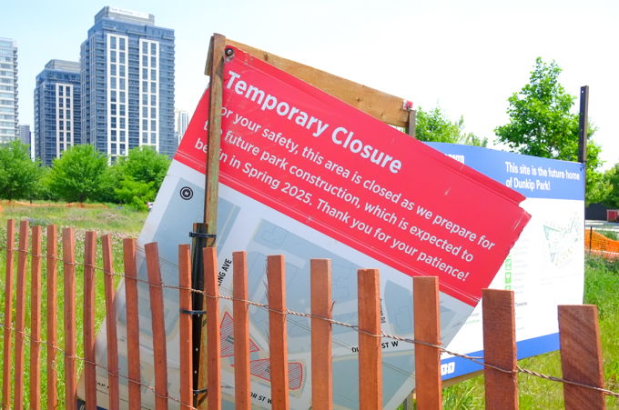
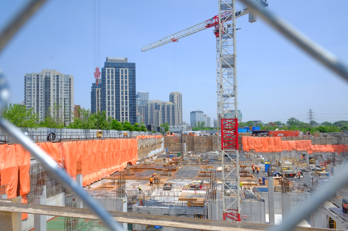
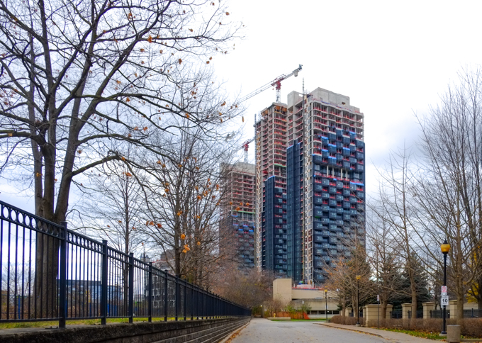
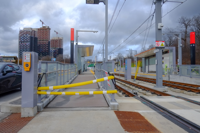
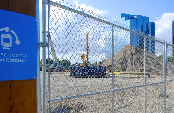
below: At McCowan, Scarborough Transit Connect is partnered with Metrolinx to build the new Scarborough Extension subway from Kennedy station to a new terminus at Shepherd and McCowan. See a previous blog post, Intersections – McCowan and Sheppard for some photos from
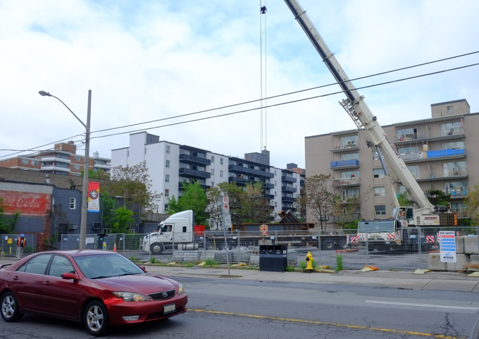
below: Traffic on McCowan is impacted by the subway extension construction
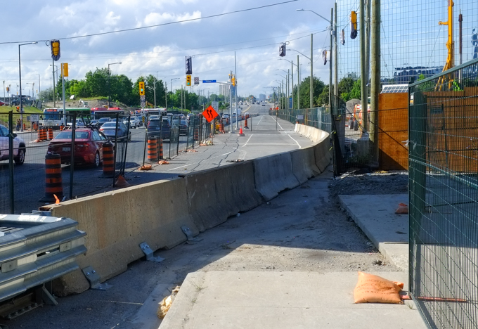
below: One more view of the construction at McCowan station

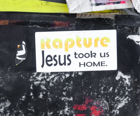
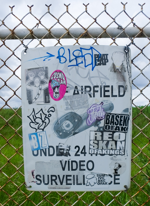
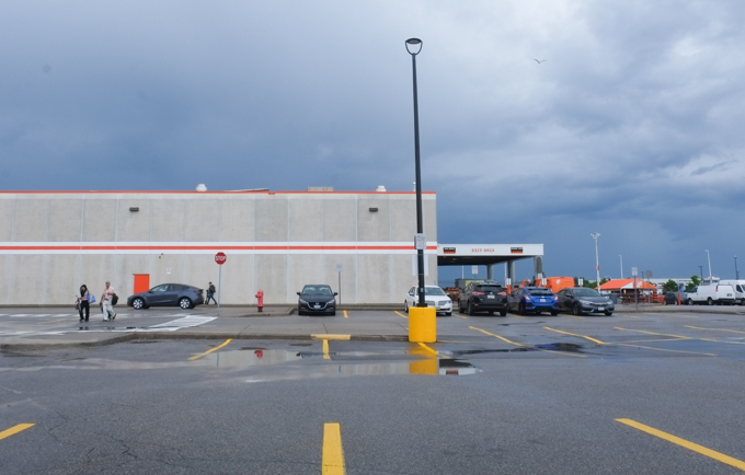
below: And last, I found evidence on a pole in the parking lot at Scarborough Town Centre that indicates that I have missed the Rapture; they left without me. I guess that I am stuck here!