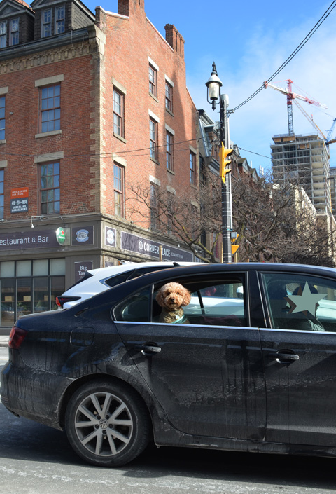
Another day, another walk through the city starting at the Distillery District and heading west towards the waterfront and downtown Toronto.
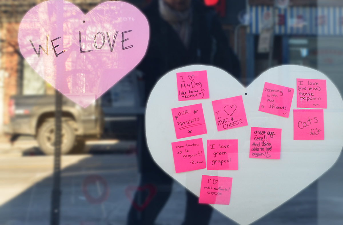
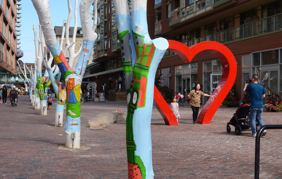
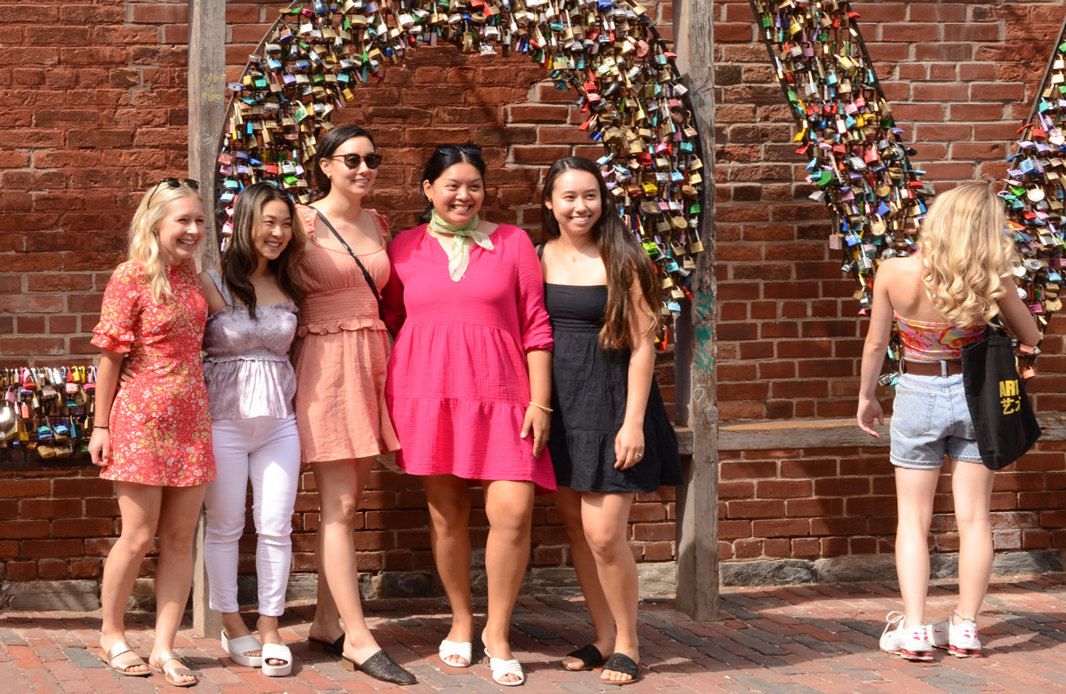
below: Posing under the heart, Distillery District.
below: Posing with the LOVE locks.
below: Flowered Dress Madonna” by Ann Agee, 2021 as seen in the Corkin Gallery in the Distillery District.

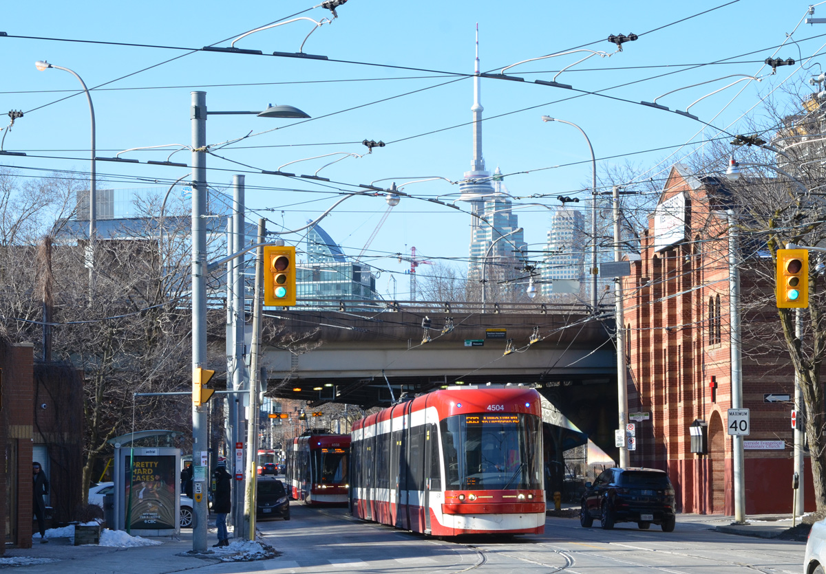
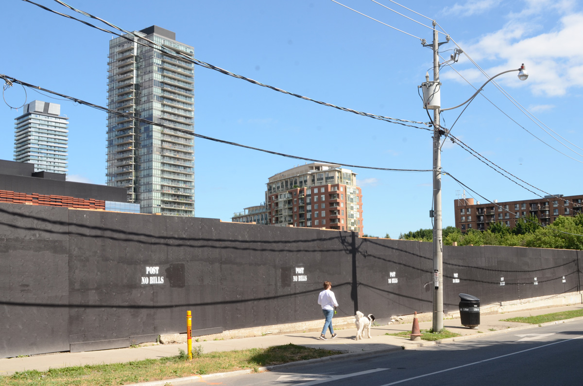
below: Looking east on Front Street from Berkeley. Police Division is the old brick building. Both sides of Front are lined with black hoardings as redevelopment of those sites started recently.

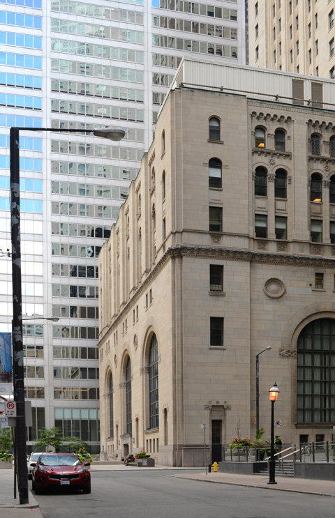
below: Berkeley St., south of Front
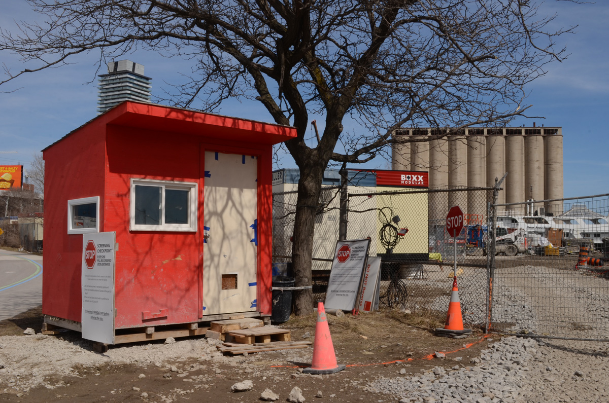
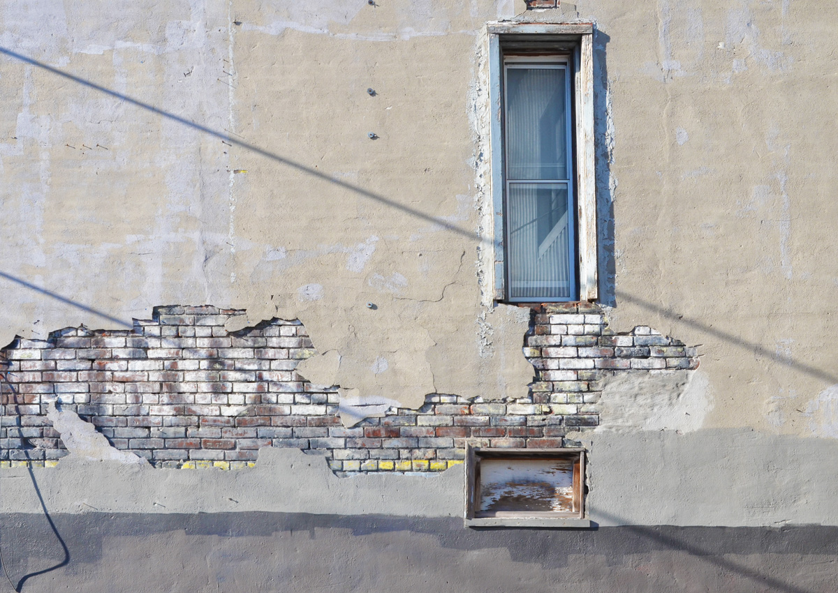
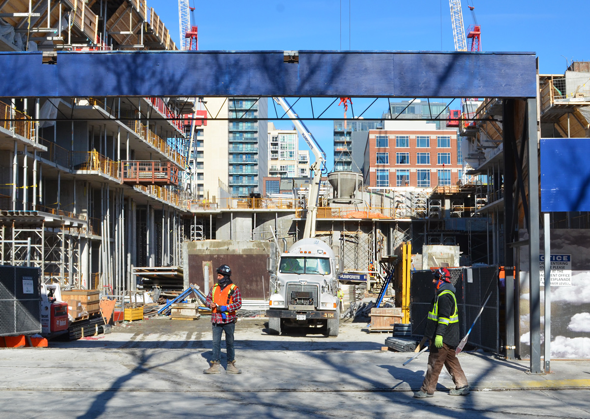
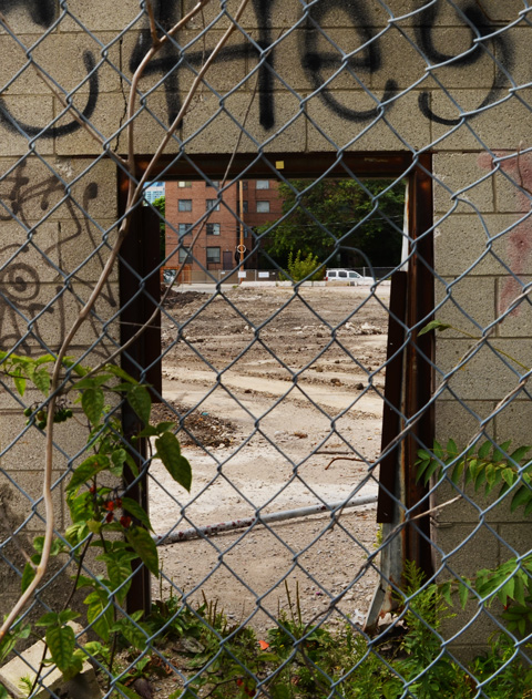
below: Another hole in the wall; another vacant lot waiting for redevelopment on Parliament Street. More tall buildings coming to the Distillery District.
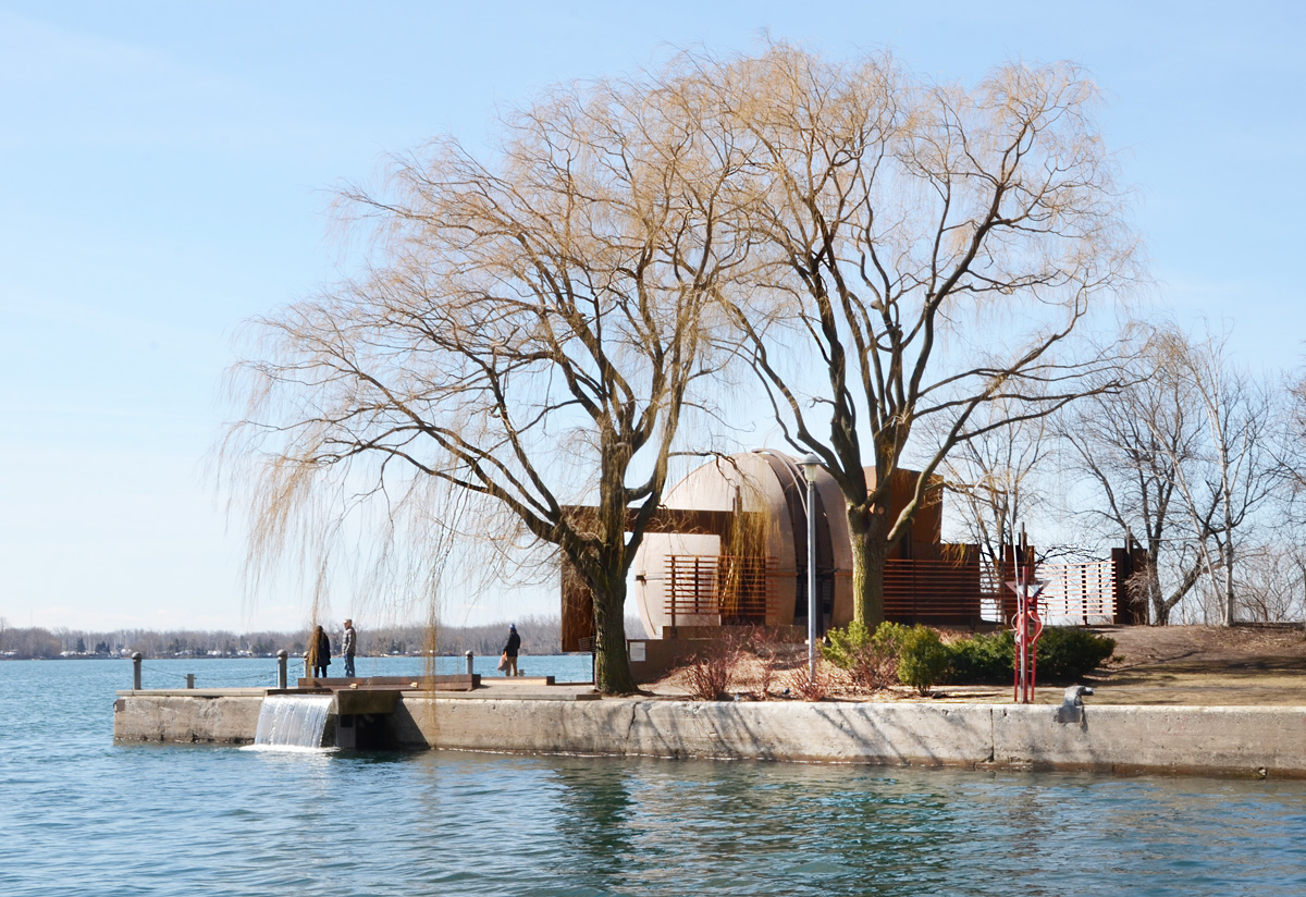
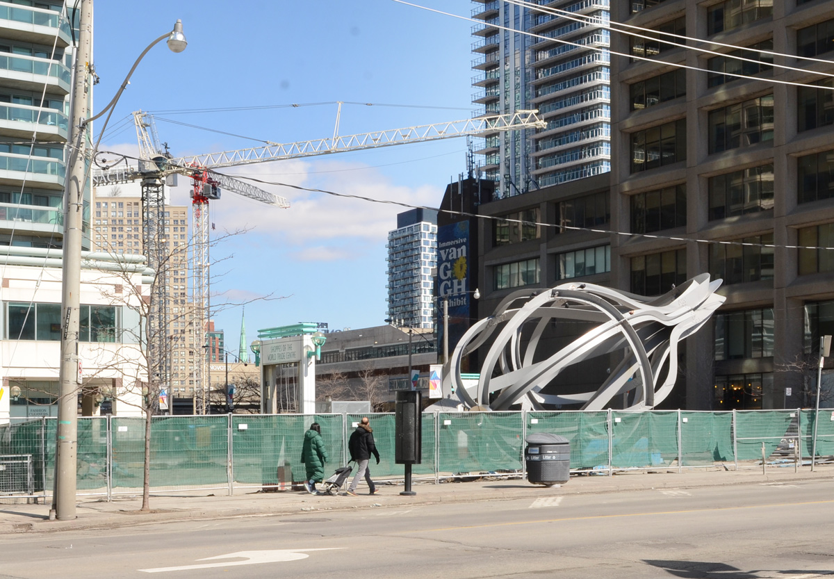
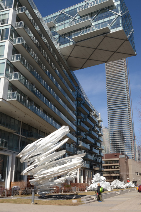
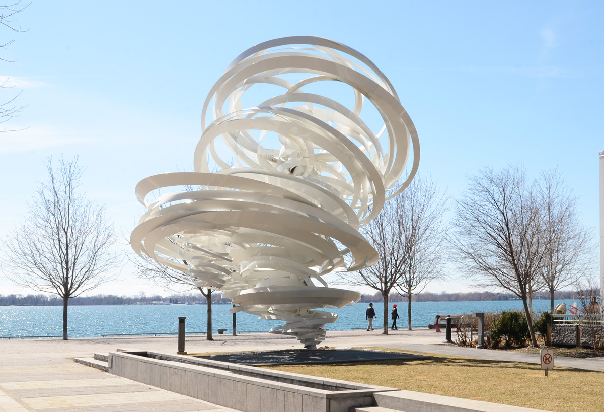
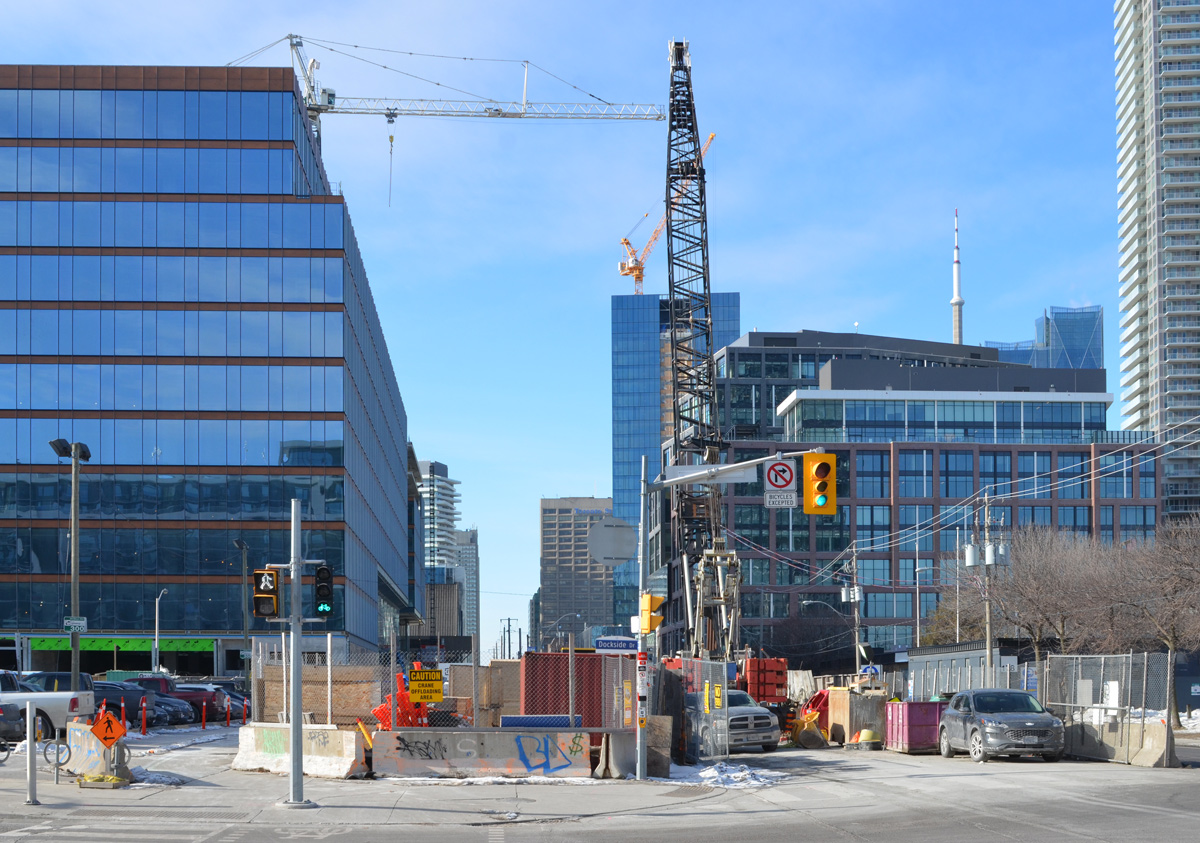
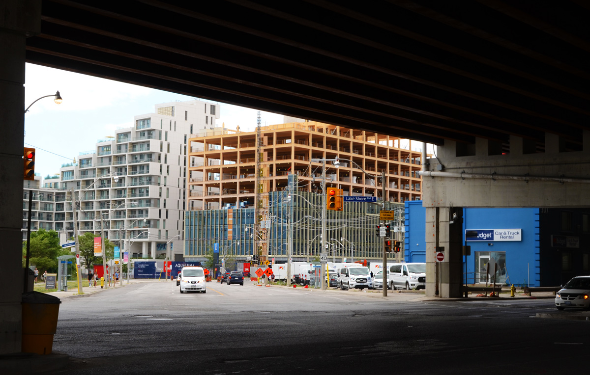
below: Looking south from the end of Parliament Street and across Lakeshore Blvd to the start of Queens Quay East. Many changes here!
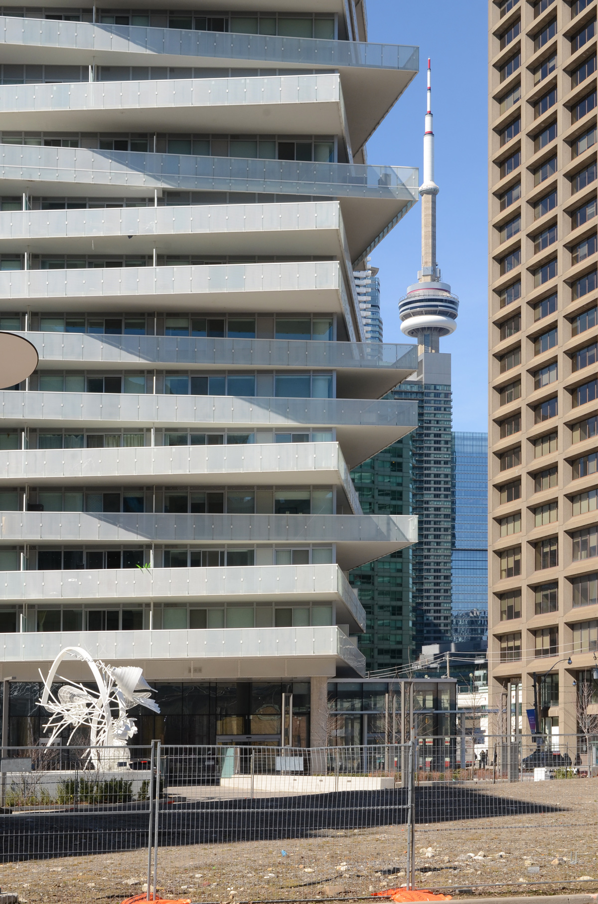
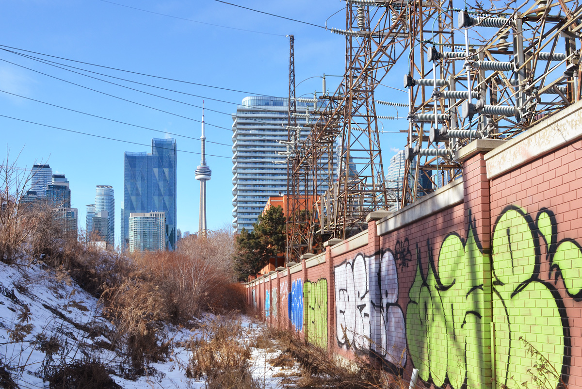
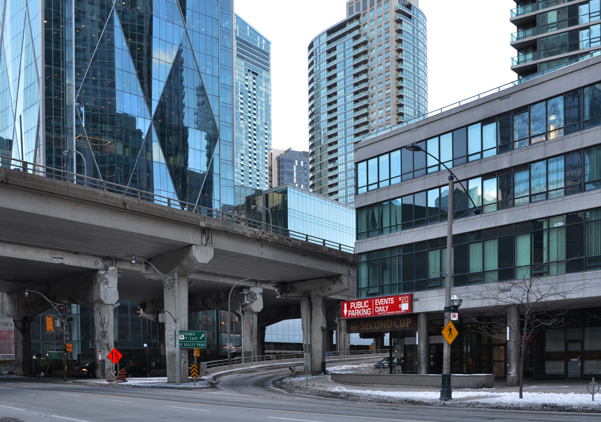
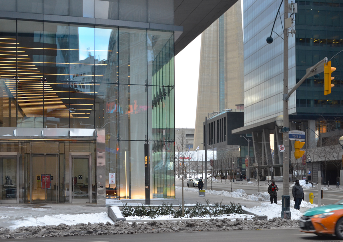
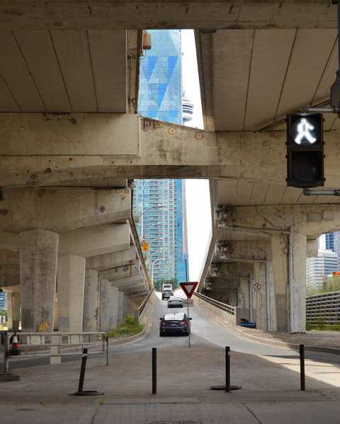
below: The CN Tower peaks through the gap created by one of the onramps for the Gardiner Expressway.
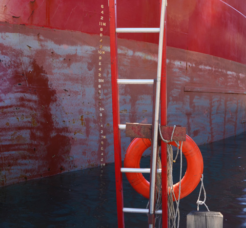
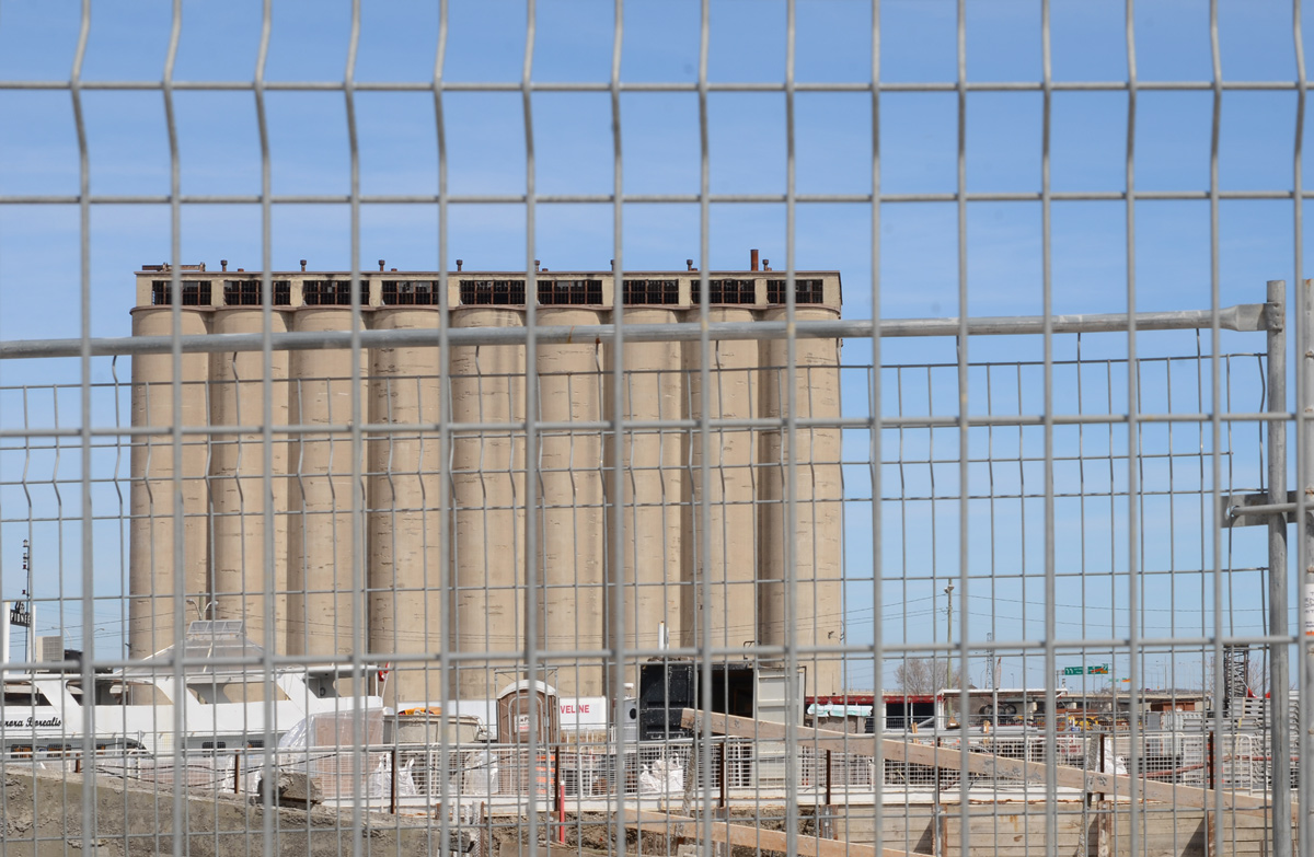
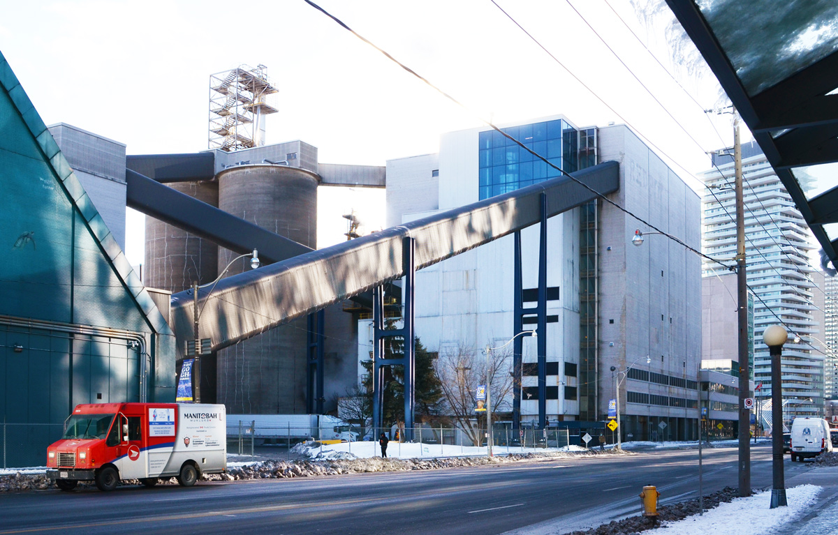
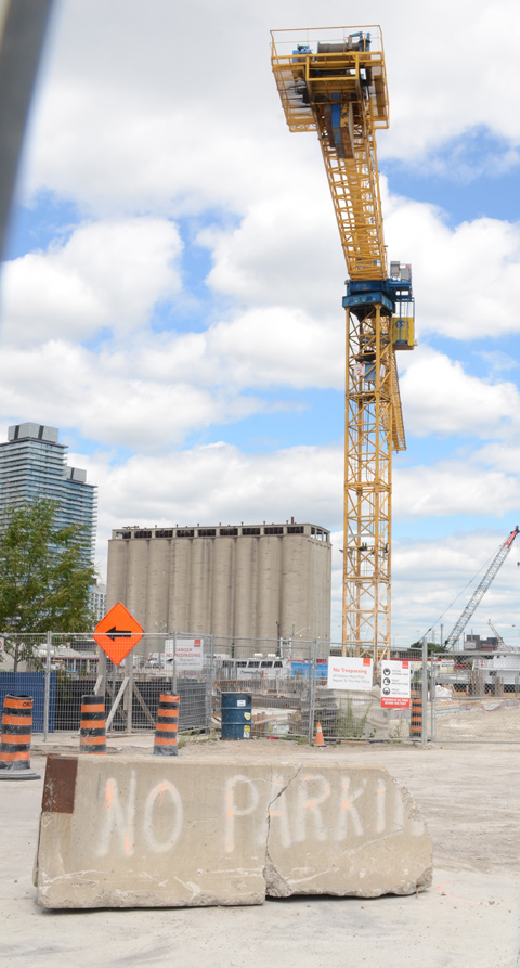
below: No Parkin’, Victory Soya Mills in the background


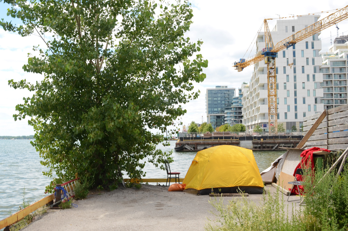
below: Looking east towards the Port Lands redevelopment. The new Cherry Street bridge is in the background.

below: From the same spot on the waterfront as the above picture, but looking in the other direction.
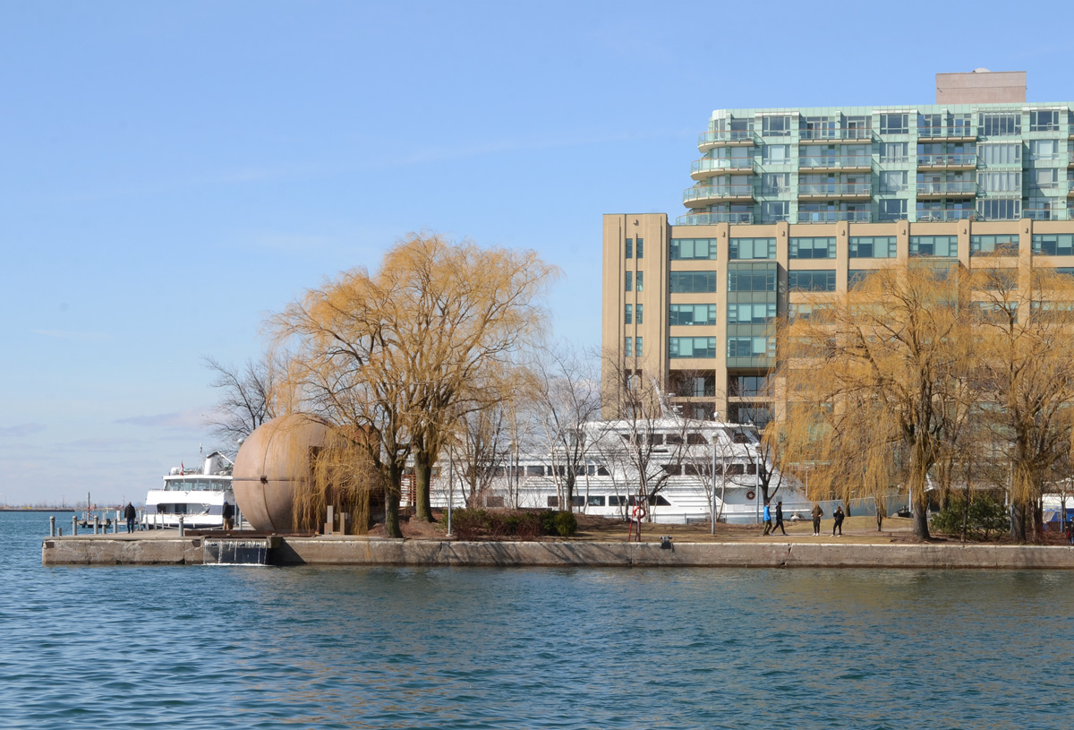
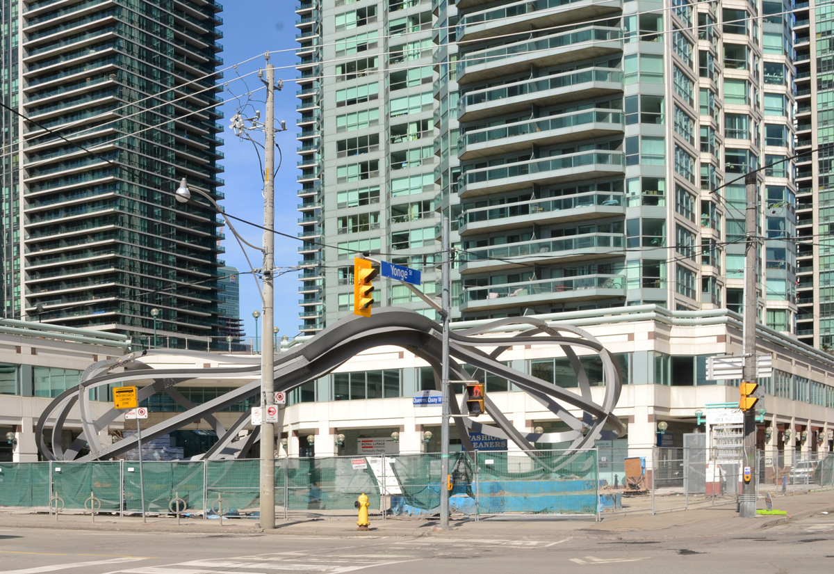
below: Queens Quay East

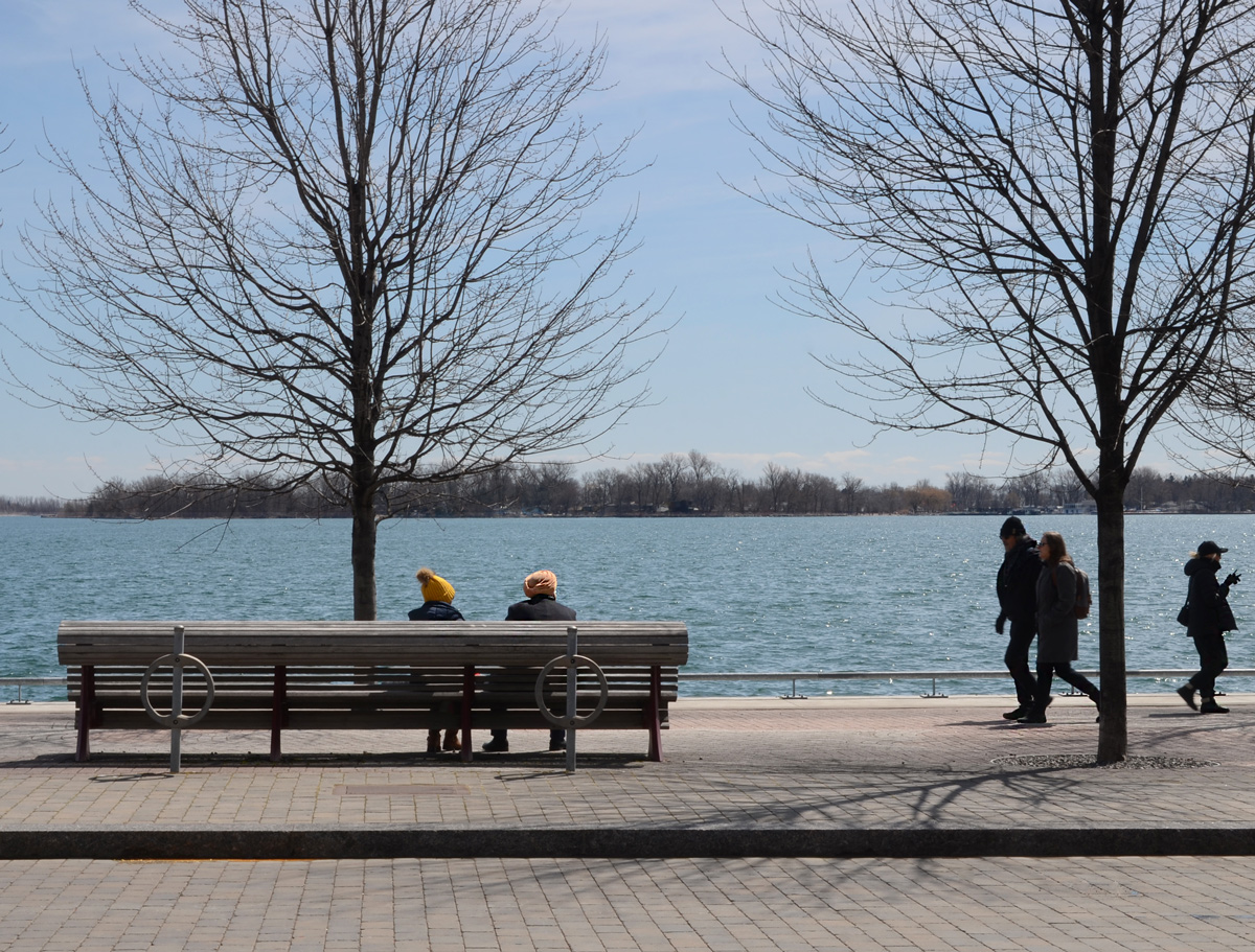
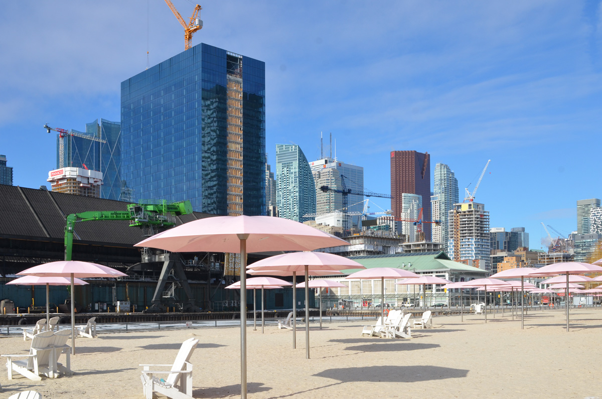
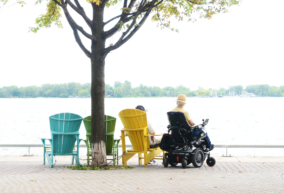
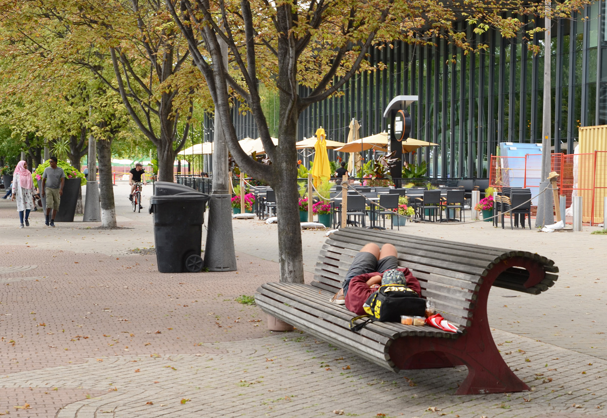
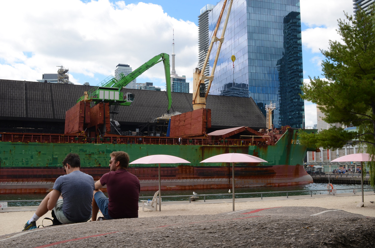
below: Relaxing by the lake.
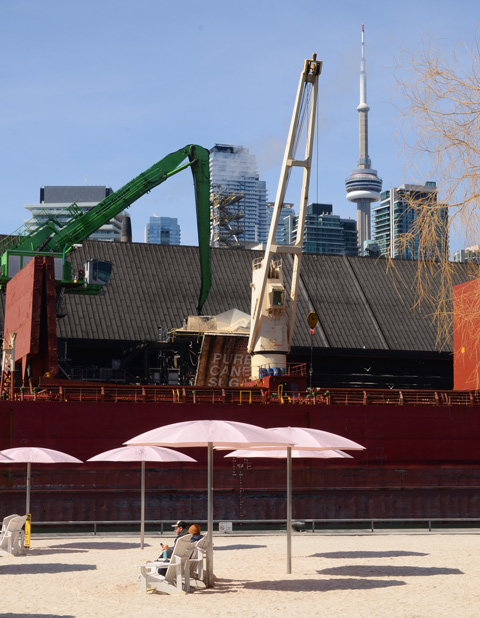
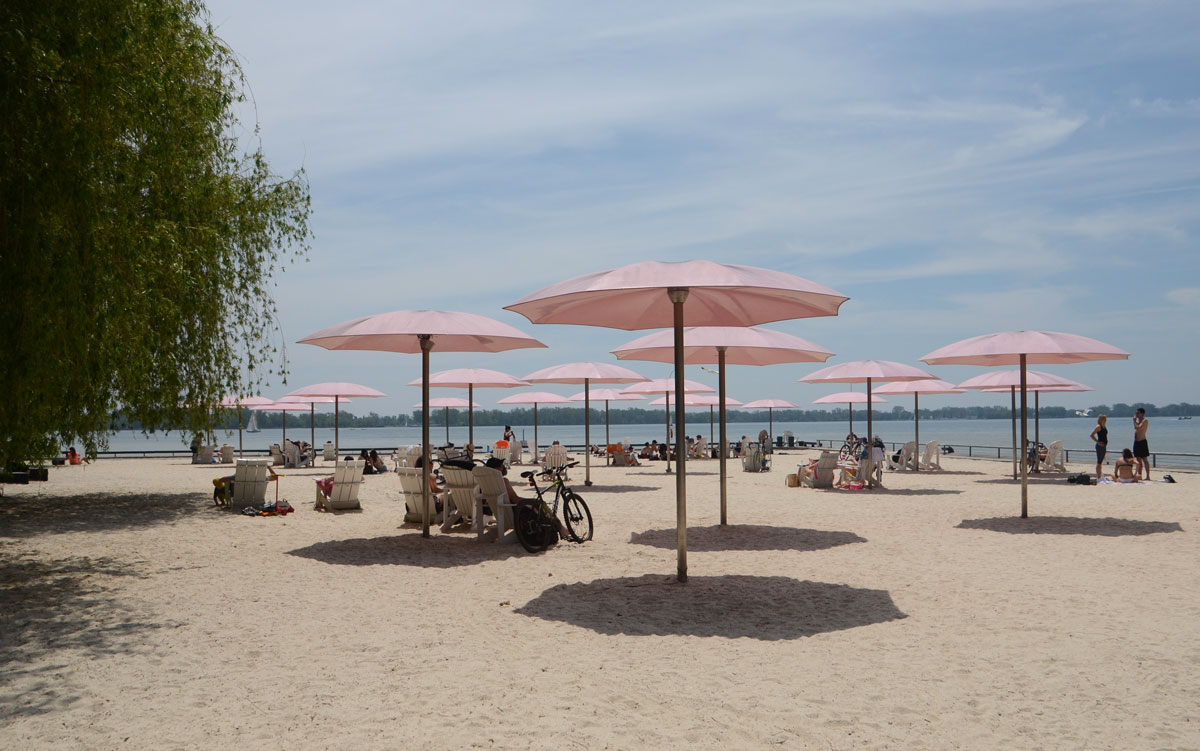
below: Sugar Beach, spectator section, in the shade.


below: On the rocks, Sugar Beach
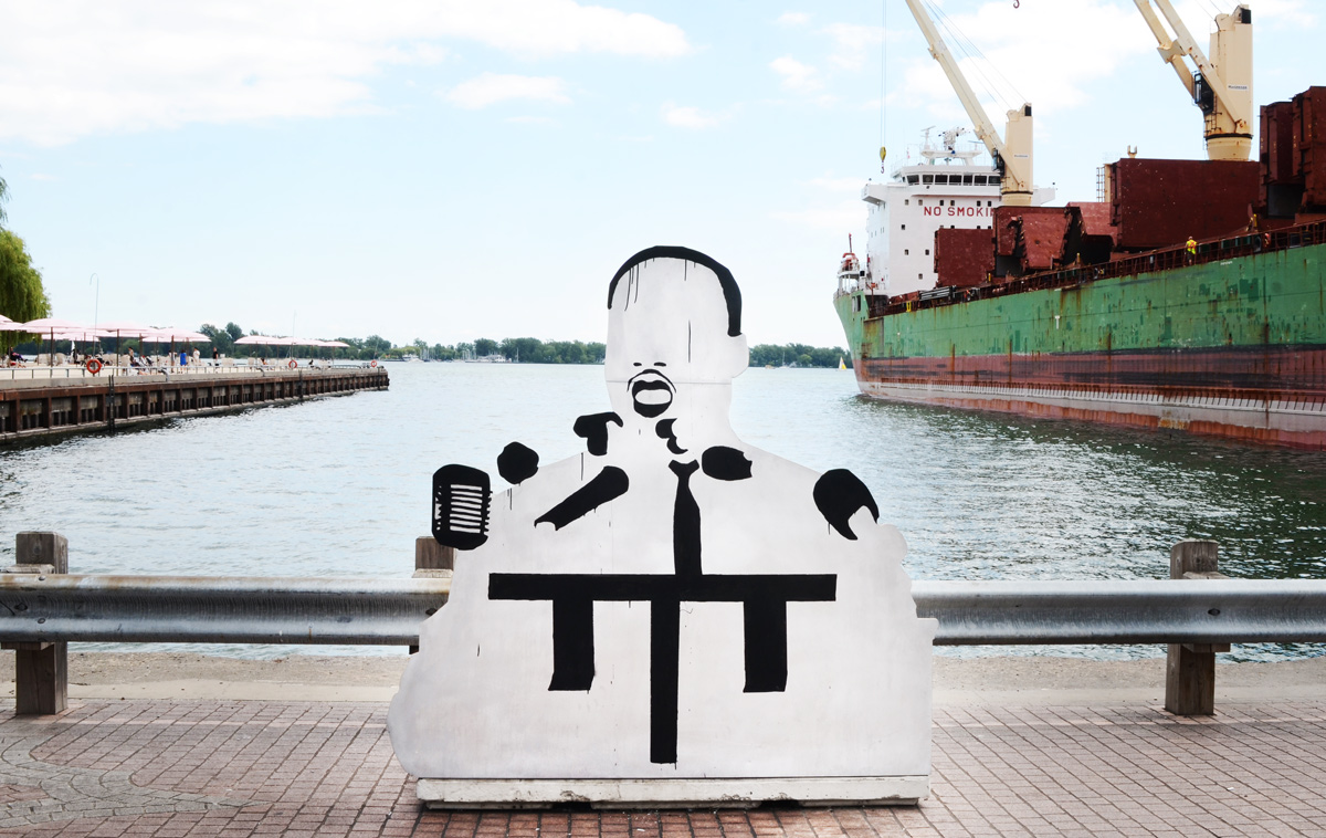
below: I am not sure who this is or why he’s on the waterfront. He’s made of wood – someone constructed him and left him here.
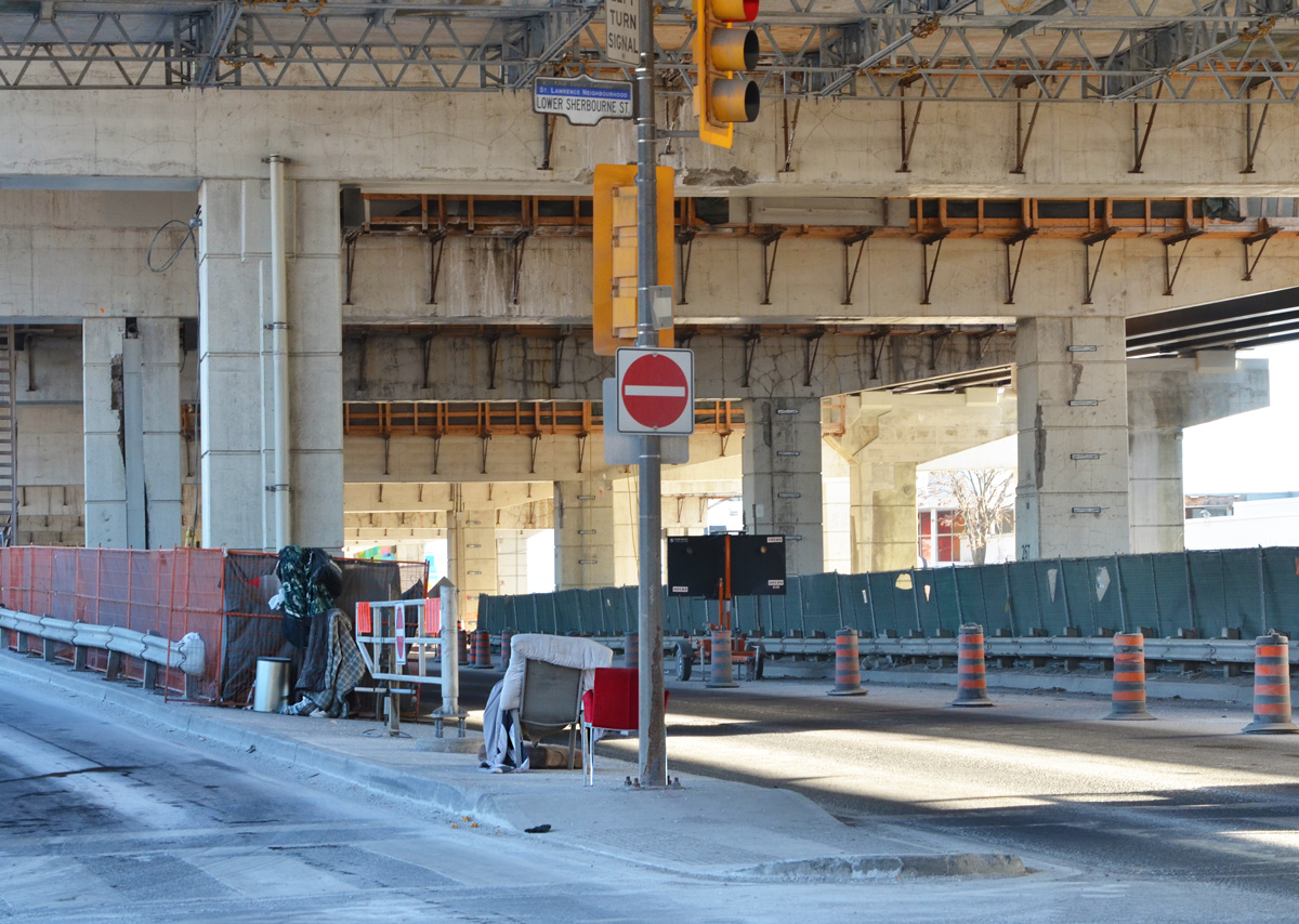
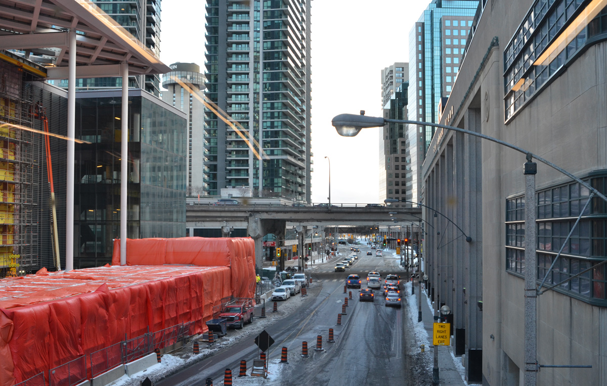
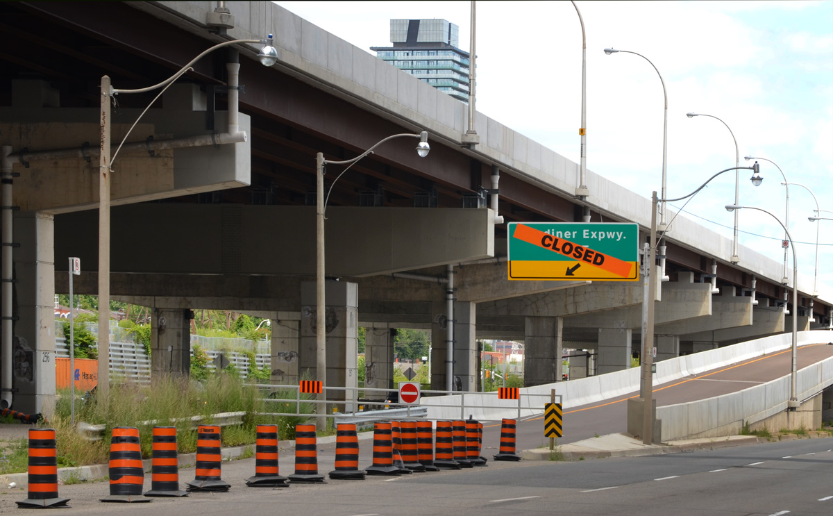
below: Closed – ramp to the the eastbound Gardiner at Lower Jarvis.
below: Lower Jarvis

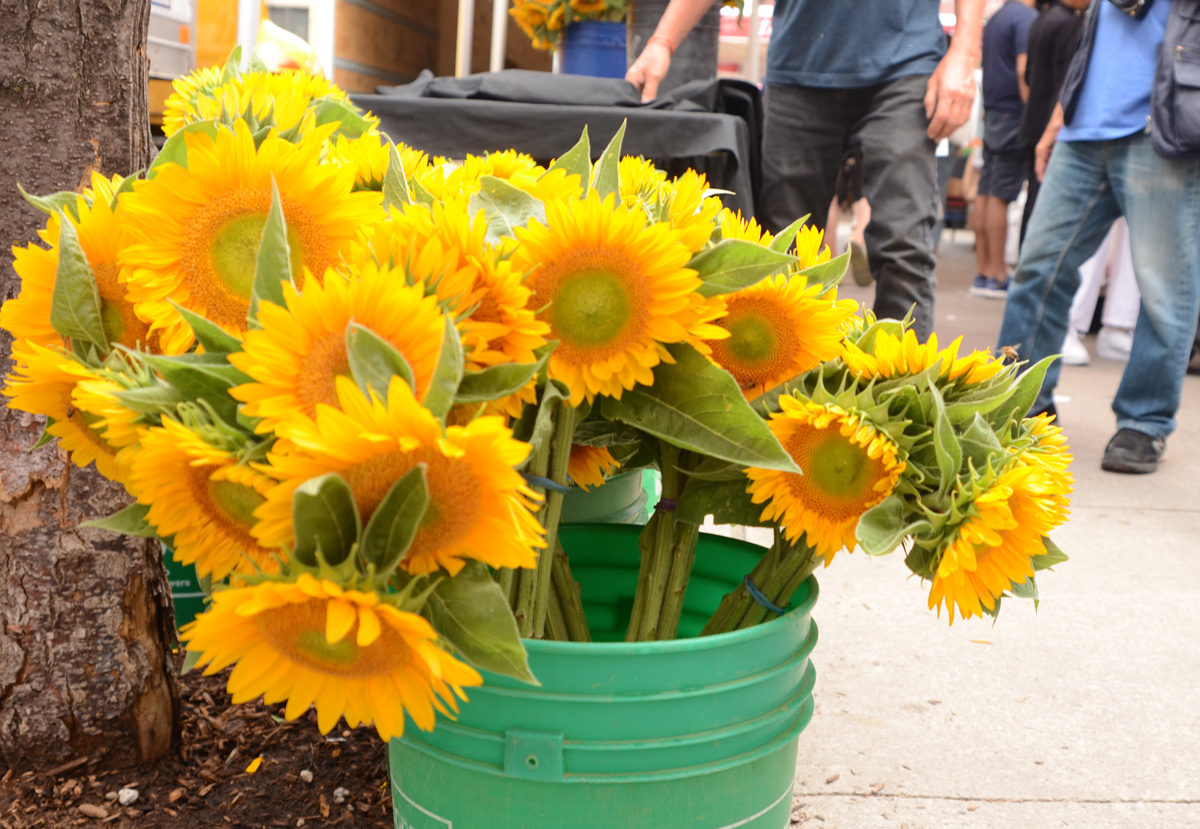
below: A bucket full of bright and cheerful sunflowers on the sidewalk by St. Lawrence Market.
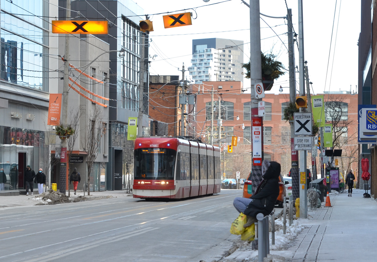
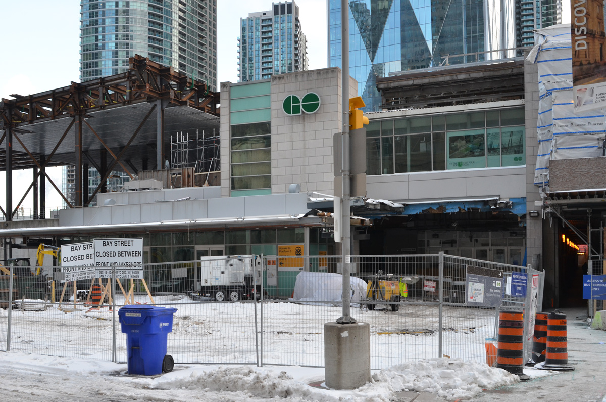
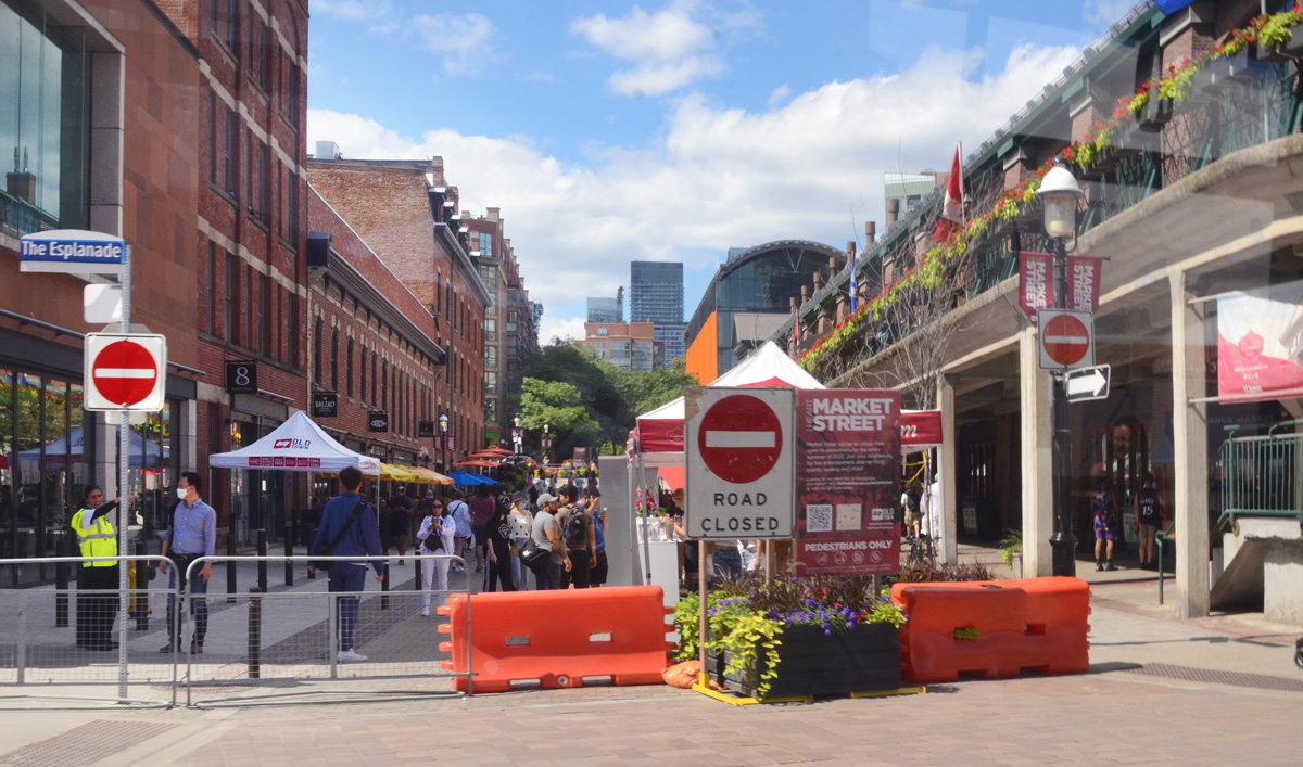
below: Market Street closed to traffic at Esplanade.
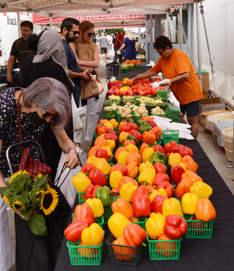
below: Marvelous peppers and other veggies for sale at St. Lawrence Market
below: Someone’s looking a little distraught. Remember how your parents used to say that if you frowned too much, or you made too many weird faces, your face would freeze in that position? That is what this poor fellow reminded me of. “Frozen” in time on the side of St. Lawrence Hall.

below: In a window. The title of the painting is “Alone” so perhaps she is alone in the city albeit surrounded by flowers. Unfortunately, they are yellow and blue flowers so I suspect that there is Ukrainian symbolism at play here and that ‘alone’ has a much deeper significance.

below: Leader Lane ends at Wellington.

below: Mama elephant and her two little ones are still walking through the courtyard behind Commerce Court. They haven’t reached the pool yet (but at least there’s water in the pool now).

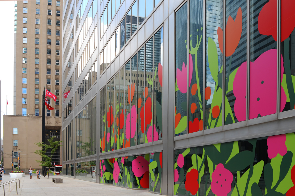
below: This is one of the five Big City Blooms murals found around the city (west side of Commerce Court). The big bold and cheerful flowers in reds and pinks are the work of Alanna Cavanagh.
below: Same Commerce Court building as the above picture but from a slightly different angle.

below: Melinda Street
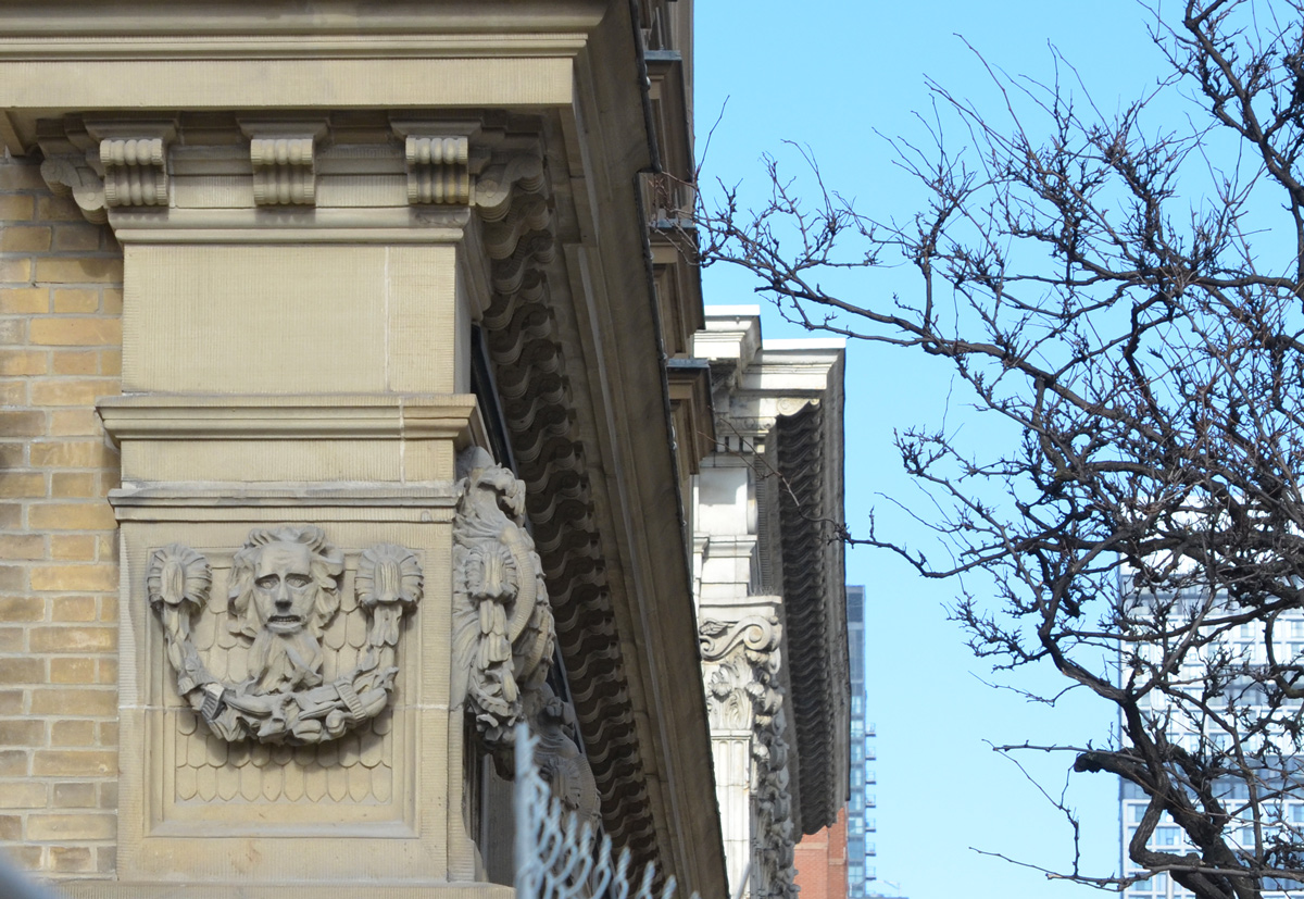
below: Narrow city alley views, framing the gorgeous stone and brick work on the older building with its arched windows.

below: There appears to be a forest path in the middle of Brookfield Place. It is actually a photograph that is part of an exhibit called, “Take Your Seat With the Group of Seven, Nature the Inspires Us”. (now gone from Brookfield Place).

below: In this exhibit, locations used by the Group of Seven in their paintings were revisited. Photos were taken using a red director’s chair, placing the chair in the artist’s position. In this set of images, two small paintings from Coldwell Harbour are paired with a large photo of present day Coldwell Harbour – the chair is small but you should be able to see it on the rocky outcropping. The harbour is on Lake Superior near the town of Marathon.

***