Posts Tagged ‘Ian Leventhal’

This blog post is the result of a walk along Bloor Street East between Yonge & Glen Road (with the usual diversion or two).  Bloor Street acquired its name about 1855 and is named for Joseph Bloor (or Bloore).
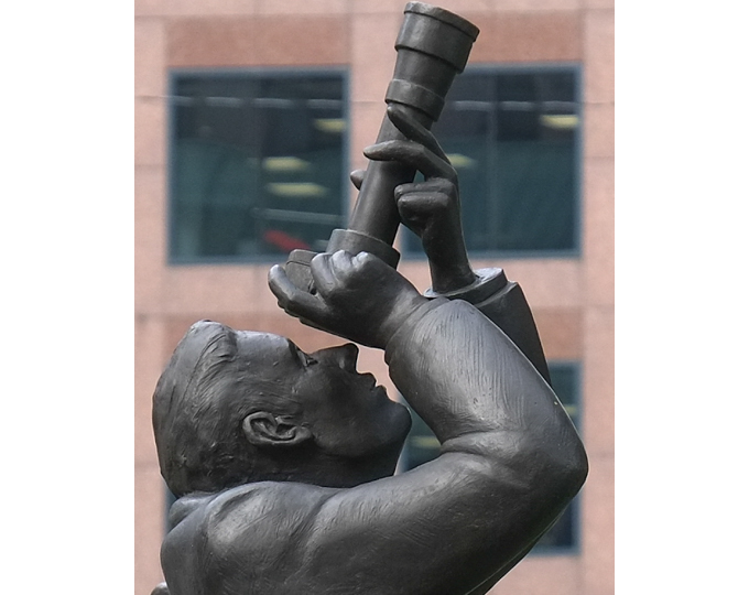
man with camera pointed upwards, part of a sculpture called Community, by Kirk Newman

below: Bloor Street, looking west towards the intersection of Yonge & Bloor.
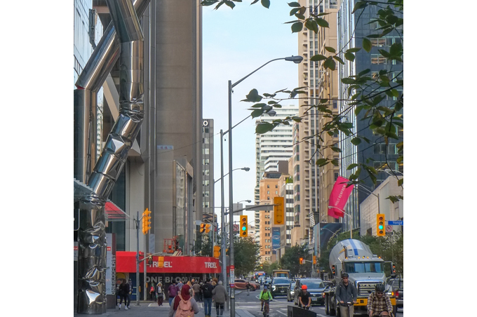
downtown Toronto, tall buildings at Bloor and Yonge, glass and steel condo towers

below: “Safe Hands” by Ron Arad, towering 88 feet over Bloor Street in front of One Bloor East (at Yonge).  Look up… way up!!
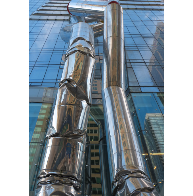
metal sculpture on Bloor Street, Safe hands by Ron Arad

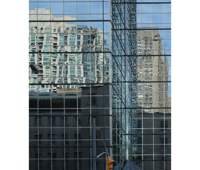
below: More up!  Glass and steel towers at Yonge and Bloor.
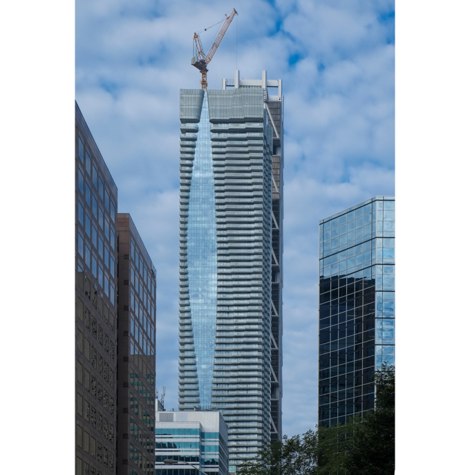
downtown Toronto, tall buildings at Bloor and Yonge, glass and steel condo towers

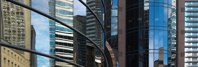
reflections in tall city glass buildings

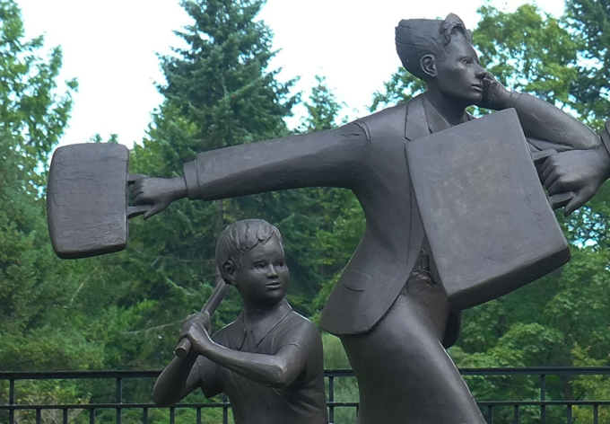
below: “Community” by Kirk Newman.  Busy people going about their day.
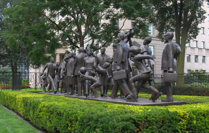
sculpture, Community by Kirk Newman, many people walking or running down the street,

part of sculpture titled community, by Kirk Newman, life sized people going about their day, woman carrying briefcase, boy with a baseball bat

below: Not an art installation, but large ventilation shafts (for the subway?) just behind Bloor
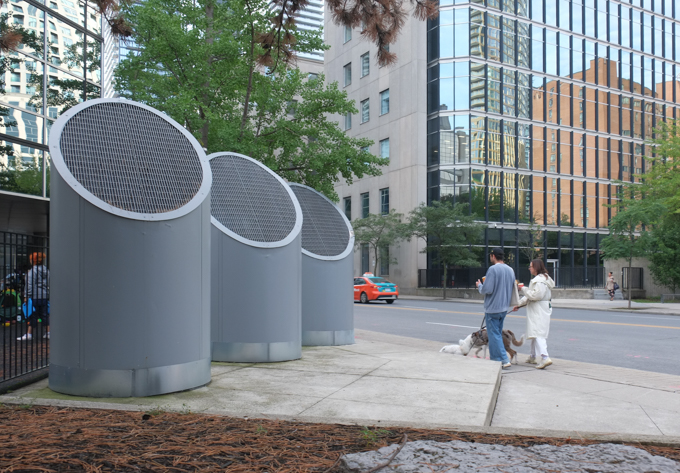
large grey ventilation shafts rising from the sidewalk behind 160 Bloor East, people walking past

below: Relief sculptures on the limestone exterior of the former Crown Life Building.  They were designed by Canadian sculptor Cleeve Horne and carved by stone cutter Louis Temporale in 1953.
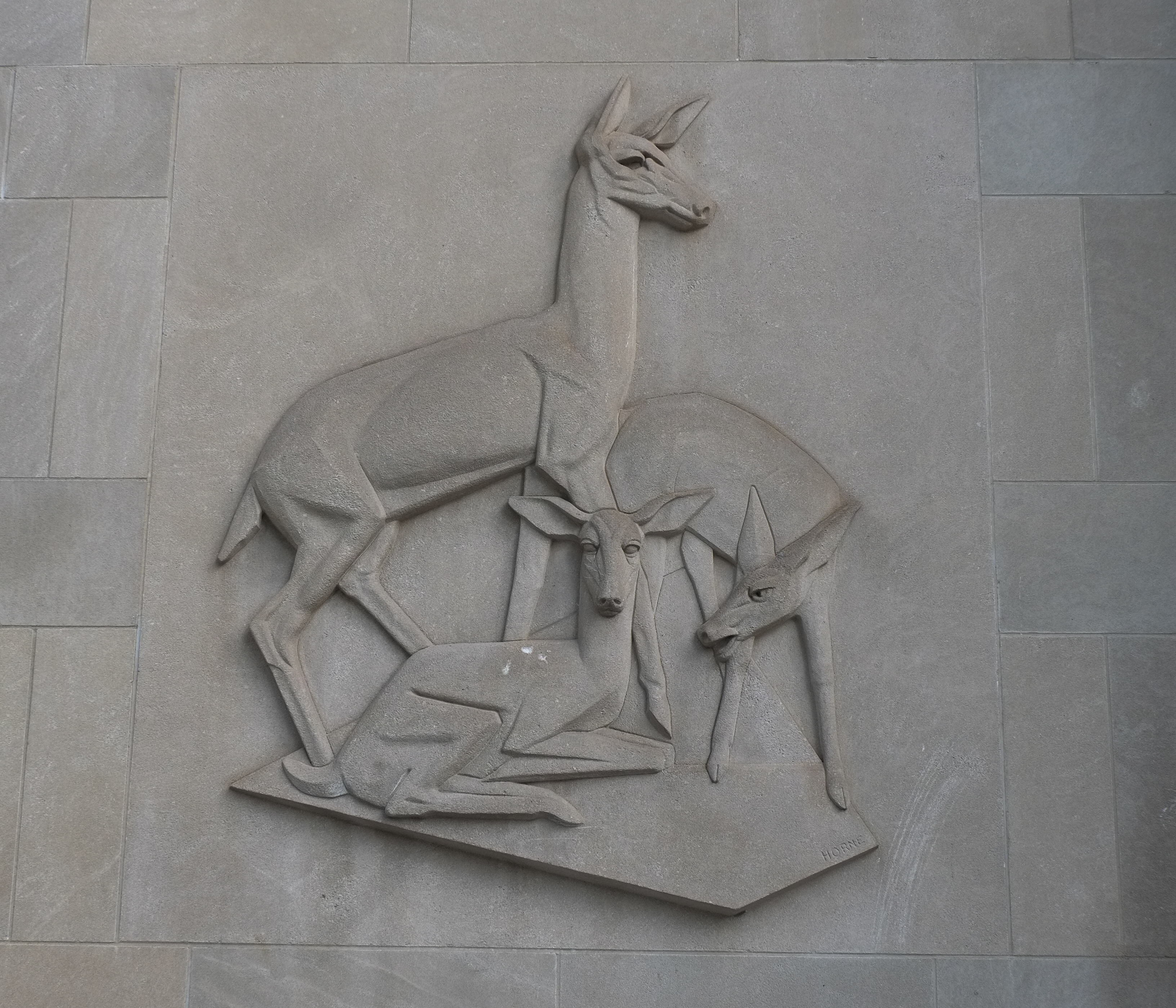
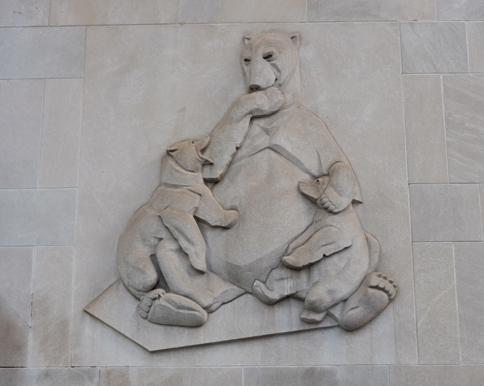
stone relief sculptures on side of building, deer family

stone relief sculptures on side of building, bear family

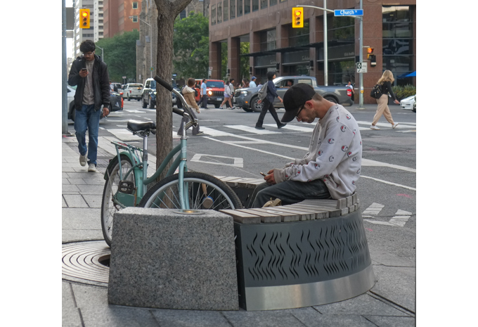
young man sitting on round seat outside, uner small tree, bike parked nearby, reading on phone

below: Sculpture by Kosso Eloul on the northeast corner of Church and Bloor.
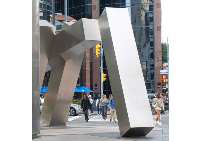
sculpture by Kosso Eloul, at northeast corner of Church and Bloor

below: St. Pauls Bloor Street, Anglican church.   The original church was built in 1842 and has undergone a few expansions and renovations since then.
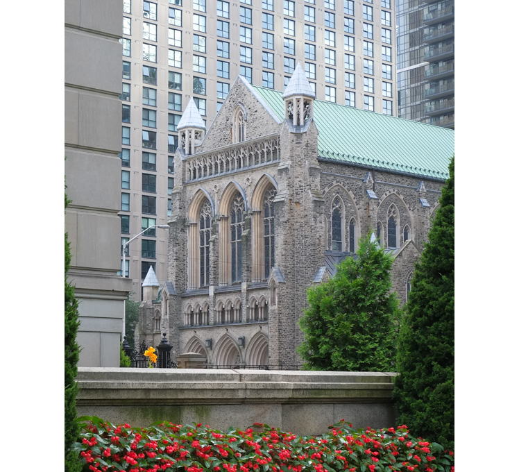
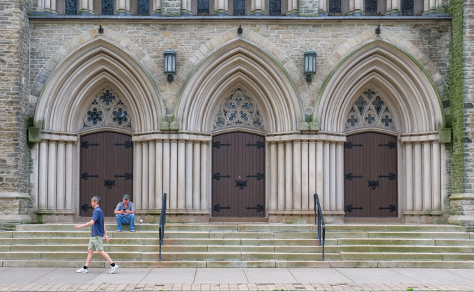
St. Pauls Bloor Street, church, stone,

man sitting on steps of St. Pauls church, wide steps, three doors, another man walks past

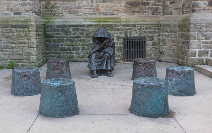
below: A space to sit.

sculpture of homeless person begging, covered in hooded robe

below: Just down the street from St. Pauls Bloor Street, but set back from the street,  is St. Andrews United church. Joseph Bloore lived at Bloor and Park Road, across the street from what was then Bloor Street Methodist Church.   This tablet is a replica of the one that was  installed in the Methodist Church late in 1862.  In the 1980s, the church that this memorial was in was demolished and the tablet moved to the city archives.  Because of a number of church mergers, this was St. Andrews United Church.  He is buried nearby in the Toronto Necropolis.
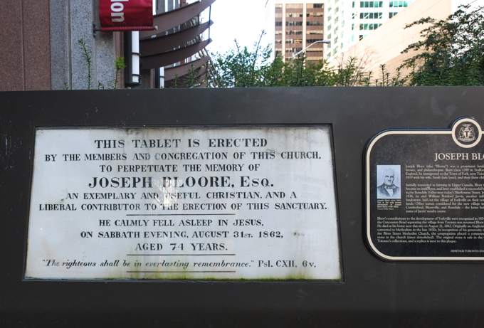
stone tablet memorial to Joseph Bloore that used to be in a church

“This tablet is erected by the members and congregation of this church, to perpetuate the memory of Joseph Bloore Esq., an exemplary and useful Christian, and a liberal contributor to the erection of this sanctuary.  He calmly fell aslepp in Jesus on Sabbath evening, August 31st 1862, aged 74 years,  The righteous shall be in everlasting remembrance.  Pslam CXII, 6 v.”

below: St. Andrews United church with its front courtyard.
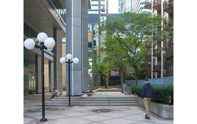
courtyard in front of St. Andrews United church on Boor street

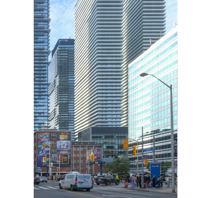
below: Bloor and Church streets, looking southwest
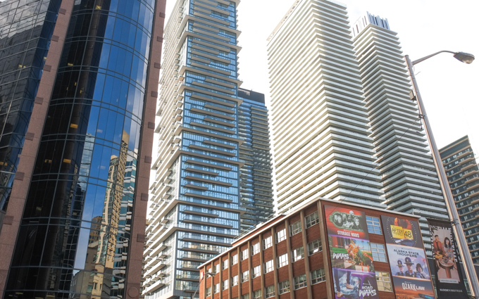
Bloor and Church looking southwest

reflections in glass buildings, bloor and church

Bloor and Church, south on Church towards Bloor

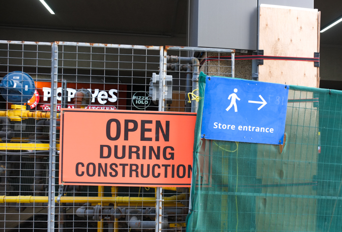
sign that syas stores open during construction, mounted on hoardings

below:  A couple of 1960s/70s brutalist concrete buildings with recessed windows – a fairly common Toronto architectural style.
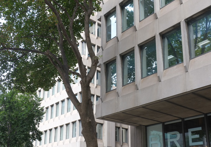
A couple of 1960s/70s brutalist concrete buildings with recessed windows

below: Sherbourne Street bridge, north of Bloor, over Rosedale Valley Road.  This is the first bridge referred to in the title (yes, it took a while to get here!)
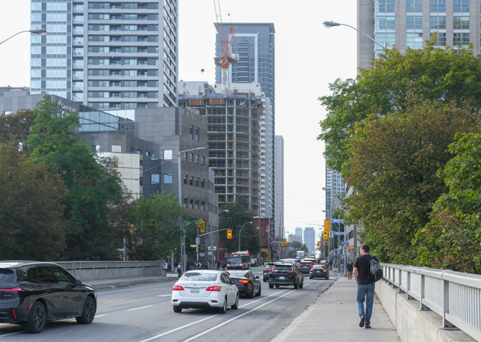
bridge, sherbourne street over the Rosedale ravine

below: Rosedale Valley Road passes under Sherbourne Street as it winds its way along the bottom of the ravine from Bayview to Yonge (approximately!).
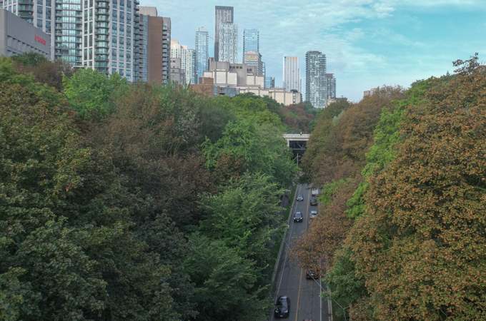
Rosedale Valley Road passes under Sherbourne Street, buildings of downtown Toronto in the distance

below: Once upon a time, the corner of Bloor and Sherbourne was home to the Sherbourne Blockhouse, shown here in a drawing by R. J. Brough (October 1862).  There isn’t much to the road!…. but there is a church steeple in the background.  This blockhouse was one of three built to defend the city from possible ‘invasion’ by rebels  and other rabble rousers in 1837.  That was the time of the Upper Canada Rebellion led by William Lyon Mackenzie against the British colonial government and the  Family Compact (the unelected local ‘government’ of the day).  The blockhouse wasn’t needed for defense and fell into disrepair. It is long gone.
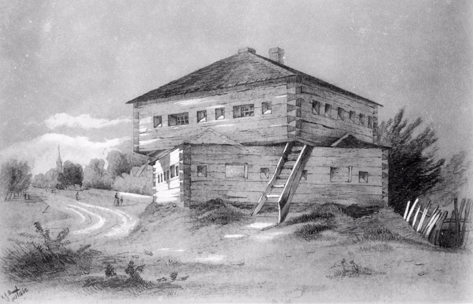
pencil drawing by R. J. Brough in 1862 of Sherbourne Blockhouse,

. Photo Credit: Toronto Public Library file E4-82a, Public Domain (found on Wikipedia).

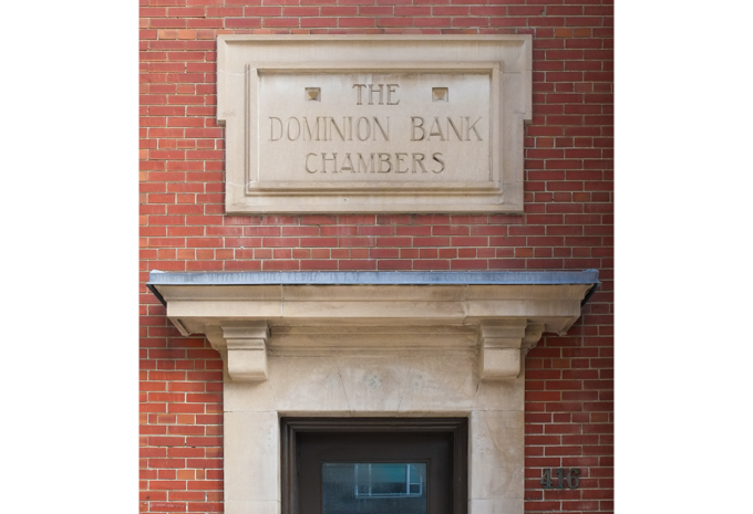
below: Part of the Bloor and Sherbourne intersection today.  The red brick building on the right was once a Dominion Bank building – and is now a TD (Toronto Dominion) bank.   The Dominion Bank was formed in the late 1860s.  In 1955 it merged with the then 100 year old Bank of Toronto to form the Toronto Dominion bank.
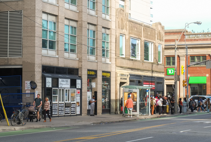
doorway in red brick bank building with sign over door carved stone, that says The Dominion Bank Chambers

below:  The beginnings of Bloor Street east of Sherbourne – This photo was taken about 1908 and as you can see there wasn’t much of a road there.   It would be 10 or 11 years later that the Prince Edward Bridge (aka the Bloor Viaduct) opened to the east thereby providing easy access across the Don River via Bloor.   But that’s a whole other bridge, and a whole other story best left for another day.  Note the Dominion Bank building at Bloor and Sherbourne – still there more than 100 years later.  Also, there was already a Sherbourne Street bridge over the ravine.
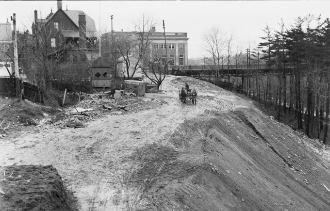
old black and white photo from about 1908, by William James, from City Archives, showing Bloor east of Sherbourne when it was a dirt road

Photo credit: City of Toronto Archives, fonds 1244, item 7244

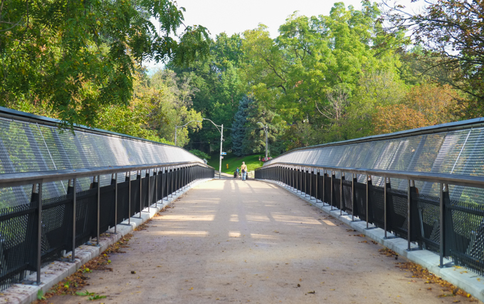
below: Glen Road Pedestrian Bridge connects Rosedale to St. James Town.  It is officially called the Morley Callaghan Footbridge and for our purposes, it is bridge number two.
below: “Rise together thru these clouds, as on wings”  This is actually part of the lyrics to a song, “Sunday” by David Bowie.
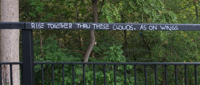
written graffiti in white on black railing on bridge

below: This is the plaque that is mounted on a wall near the bridge.  It mentions Edgar Jarvis, one of the early land owners in the area.  It was Jarvis who teamed up with Joseph Bloore to develop the land that became the village of Yorkville.   The plaque’s title mentions the name Morley Callaghan then says nothing about him in the write-up.  Callaghan (1903-1990) was a Toronto novelist/writer; he also appeared on TV and radio.
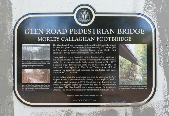
plaque by Glen Road bridge, also known as Morley Callaghan bridge

Glen Road Pedestrian Bridge – Morley Callaghan Footbridge. The Glen Road Bridge has served the South Rosedale neighbourhood for over 140 years.  The structure is approximately 107 metres (351 feet) long and it spans the Rosedale Ravine where Castle Frank Brook once flowed before draining into the Don River.  Edgar Jarvis was one of Rosedale’s earliest developers.  He envisioned it as a residential area for the affluent.   To connect the neighbourhood to the city, he commissioned a bridge across the ravine.  After 1877, a wooden bridge for vehicular traffic was in place, and by 1882, an iron version had replaced it.  The City of Toronto annexed South Rosedale five years later and purchased the iron bridge from Edgar Jarvis for $10,000 in 1889.   By the 1950s when the iron bridge was over 60 years old, the City adapted it into a pedestrian only crossing.  It was replaced with a rigid-frame steel structure in 1973.  The design is well suited for this type of crossing; the angled legs remove the need for supports on the ravine floor.  The Glen Road Bridge is a rare example of this design in Ontario.  The bridge was extensively rehabilitated starting in 2020.  Designated under the Ontario Heritage Act, 2003.

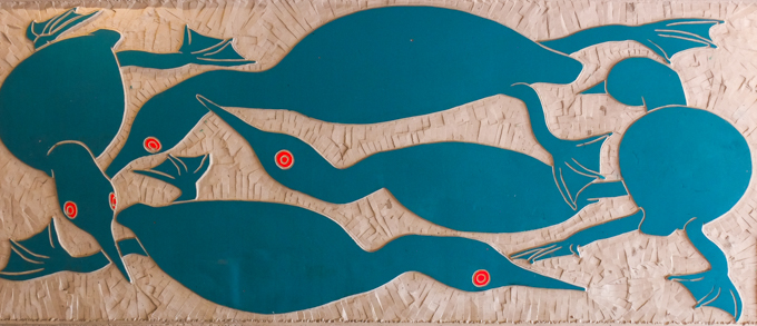
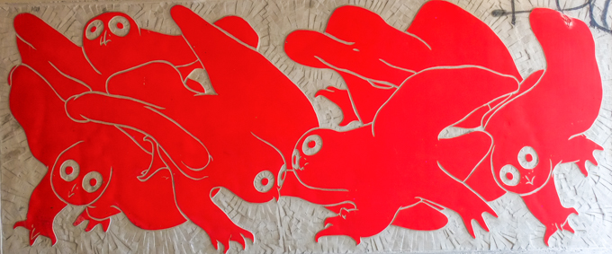
below: At the south end, the Glen Road bridge leads to a tunnel that goes under Bloor Street.  The walls of the tunnel have recently been renovated and are now lined with three new pieces of art by Inuit artist Couzyn van Heuvelen .
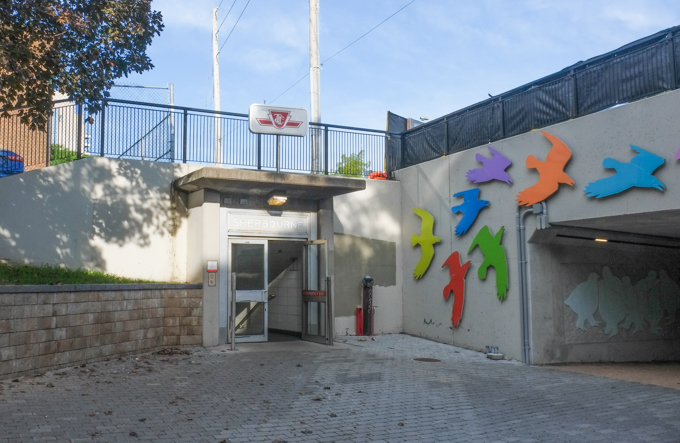
below: The Glen Road entrance to Sherbourne subway station.
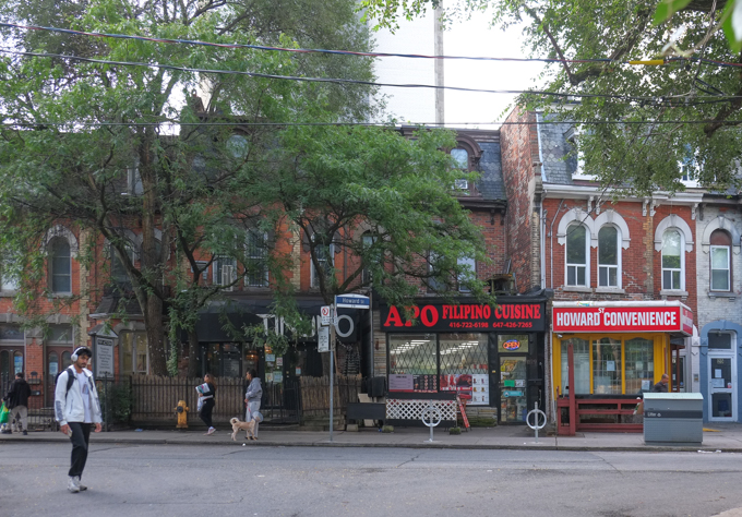
below: Glen Road ends at Howard where a few old houses still remain.
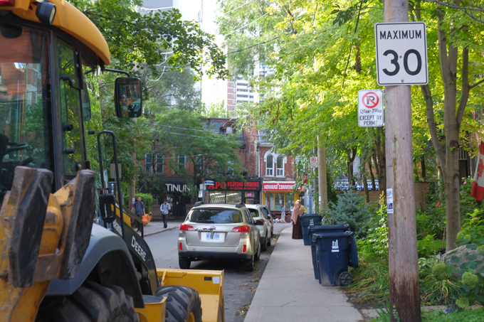
 few businesses on Howard St., in old brick houses, including Apo Filipino restaurant and Howard convenience store

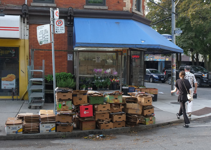
empty cardboard boxes stacked up on the sidewalk outside of a store, waiting for garbage or recycling collection
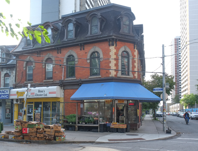
old brick building, second empire style, with black roof, large blue awning over front door,

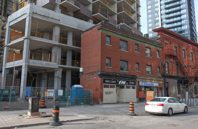
redevelopment of older buildings on Howard Street, building more housing

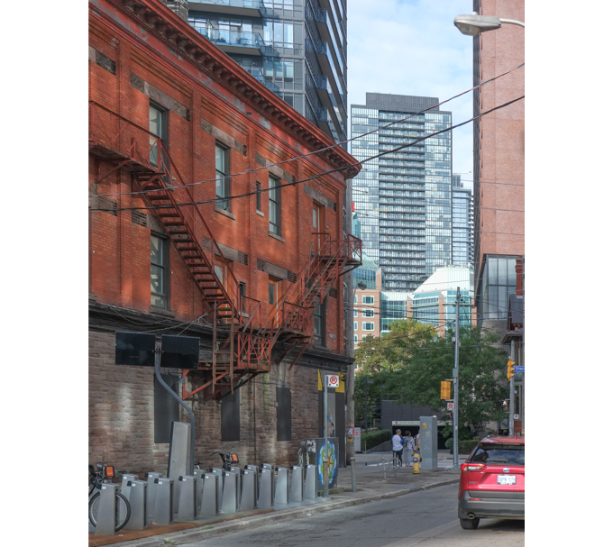
older three storey red brick building on Howard Street, with newer buildings in the background, a red car on the street

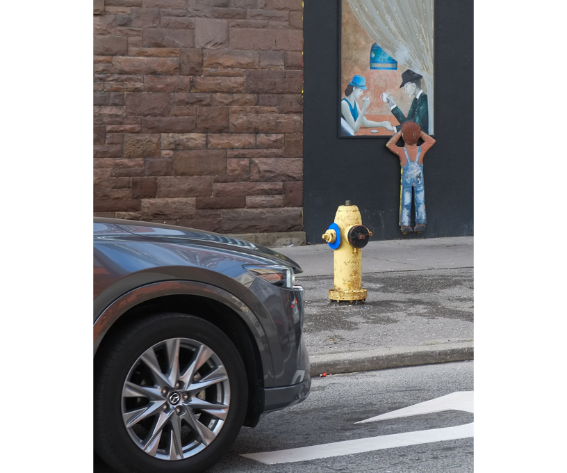
car parked in front of building where fake window with a painting of a young boy looking into the window of a restaurant

woman walking past a sidewalk box that has been painted

below: The view from Howard & Sherbourne, looking west, a mix of old and new.
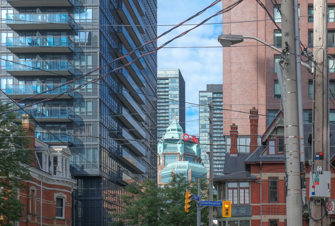
below: Maison Selby, on Sherbourne, this Queen Anne Revival-style building has is now a French restaurant.  It has seen many changes over its 140 year history.  The first occupants were members of the Gooderham family (the whiskey people).  It was briefly home to Branksome Hall girls’ school before they moved to a larger space.  In 1912 it became a hotel and it has generally been a hotel, bar, or restaurant space since then, albeit under many different owners.
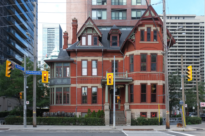
Maison Selby, old Victorian brick building

below: Trinity Lutheran Church, also on Sherbourne.
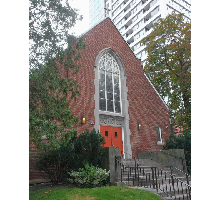
Trinity Lutheran church on Sherbourne

below: “For Sinners Only” says their sign – very inclusive!
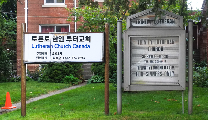
sign in front of Trinity Lutheran church that says for sinners only

below: Back on Bloor Street where Rogers dominates the corner of Bloor and Mount Pleasant (another of those concrete buildings with recessed windows).
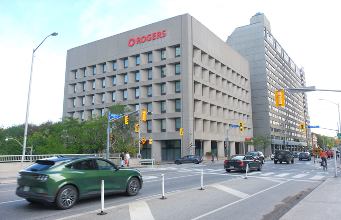
Rogers building at Bloor and Mount Pleasant

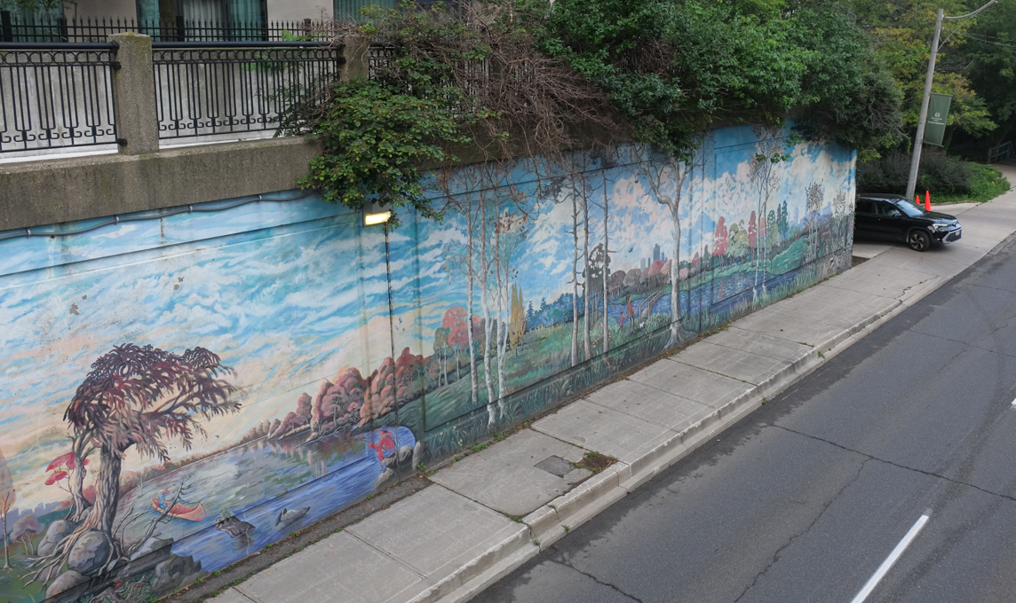
below: Mount Pleasant passes underneath Bloor.  The walls are covered with murals by Ian Leventhal.
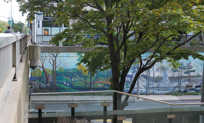
mural by Ian Leventhal, landscape, on walls of bridge, bloor over mount pleasant

mural by Ian Leventhal, landscape, on walls of bridge, bloor over mount pleasant

below: The south end of Mount Pleasant just before it becomes Jarvis Street…  and that makes bridge number three.
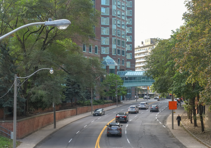
Mount Pleasant Avenue as it passes south of Bloor

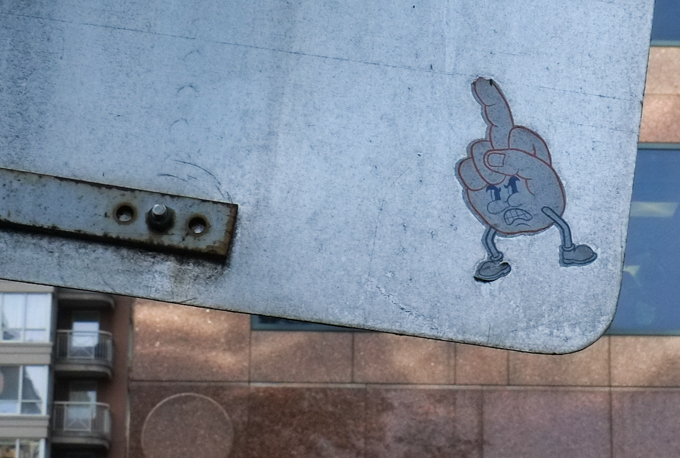
below: It’s not the most positive note to end on but hey, someone took the time to make this sticker and then find a home for it.  May they change their mind one day!
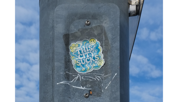
graffiti sticker

graffiti on the back of a city sign that is a growling character made of a hand giving the figure

A look at another intersection (and its surroundings)…….

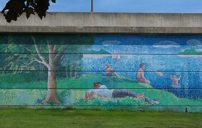
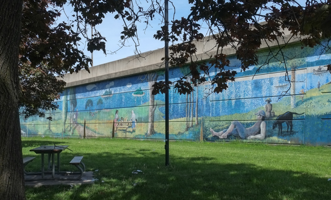
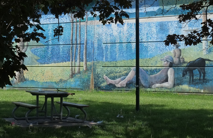
below: Swimming by the 401 highway – You might recognize this image as Georges Pierre Seurat’s  1884 pointillism painting, “Bathers at Asnières”.  Man in hat lying with his dog, sailboats in the distance, people sitting on the shore and people playing in the water – these are all elements in that famous Seurat painting.

mural, painted in pointilism style, of beach scene, on wall of 401 overpass at Wilson and Bathurst

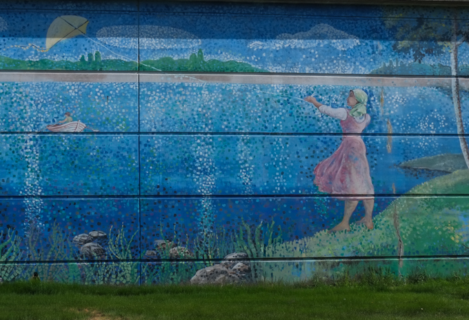
It appears as part of a large mural that Ian Leventhal painted in 2006; it covers the wall that helps support the 401 as it cuts across the Bathurst and Wilson intersection.  The large triangle created by this wall and the two streets is a park with the very unimaginative name of Bathurst-Wilson Parkette.

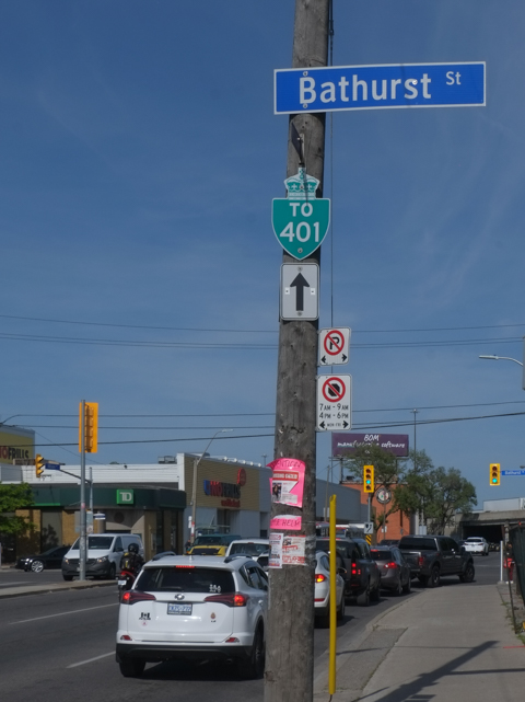
below: Looking east on Wilson at Bathurst.

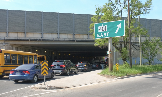
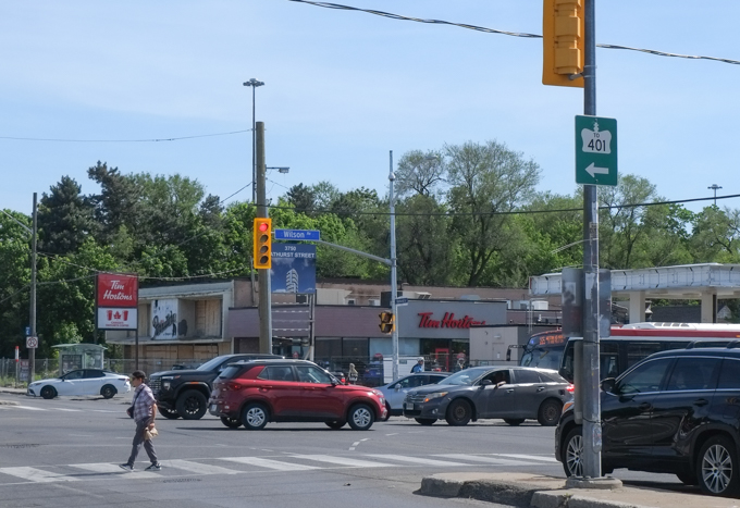
on wilson ave, just west of 401, beside street with traffic, a pole with directional sign for 401 highway as well as blue and white street sign for bathurst street

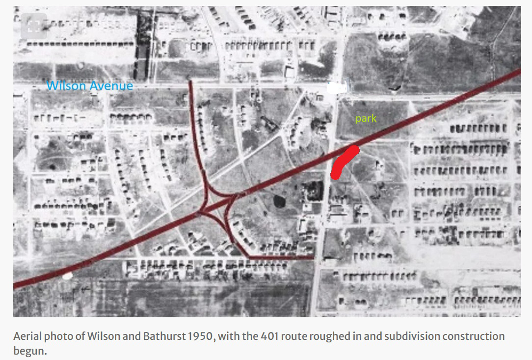
below: Both Bathurst and Wilson pre-date the building of the 401 highway.  This old photo (1950)  is taken from an excellent article in the Toronto Star written by Shawn Micallef, (28 Sept 2019) that details the history of the 401 highway development around Bathurst Street.  The brown lines show the original layout of the highway and the on/off ramps.  Not all of these ramps exist now.  I have added a bright red line to show the present day on-ramp from Bathurst (northbound) to the EB 401.  You may have noticed that the original on and off ramps were residential streets!
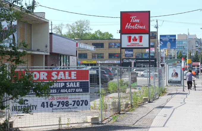
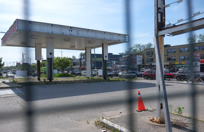
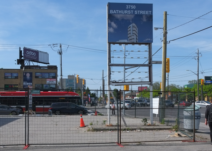
But changes are always happening.   Now it is the southwest corner of Bathurst and Wilson that is about to be transformed…. or at least it was.  At the moment the property is under court ordered receivership as the developer is having “financial issues” to the tune of at least 28 million dollars.  The property is for sale.   Tims is open but everything around it is vacant.  Condo development was booming in Toronto until it wasn’t.  I don’t have an exact number, but there are a lot of vacant/abandoned properties like this around the city.

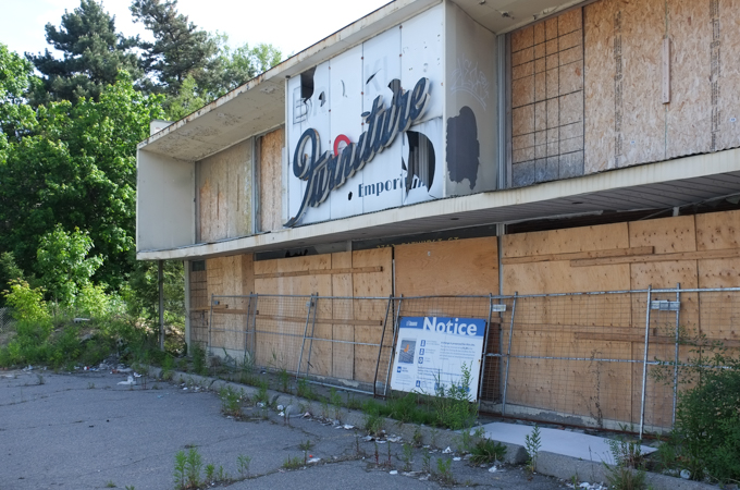
below: Brooklyn Furniture Emporium – boarded up and forgotten.   They started business in 1958 and survived for more than 60 years.

boarded up old furniture store,

below: Gone is the gas station that was here.

below: Looking north up Bathurst.

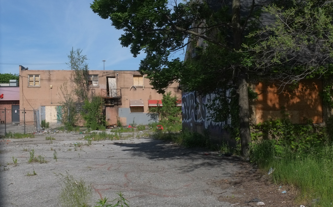
The development property that is on the market also includes a couple of addresses on the next street west, Richelieu Road whose properties back onto Bathurst.

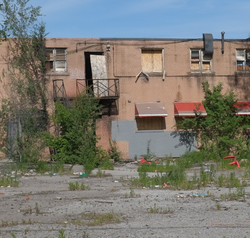
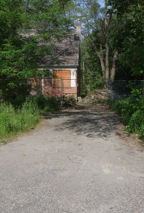
empty building, rear view, waiting for demolition

empty building, rear view, brick, two storeys, waiting for demolition

below: Another proposal includes the remaining houses on Richelieu (across the street from those backing onto Bathurst).   I am unsure of its status, but it makes for a rather sad looking little street.

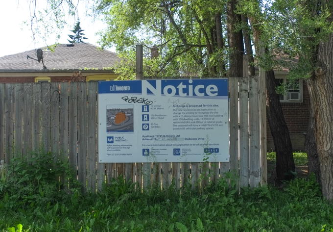
redevelopment notice on wood fence in front of a house on Richelieu Road

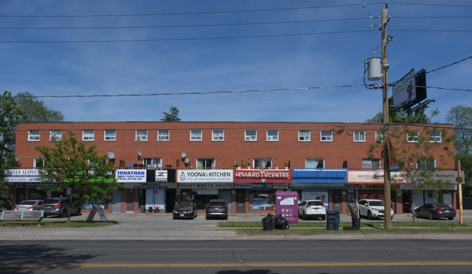
below: This area was originally developed at a time when the 2 storey brick mini plaza (or strip mall) was popular.   A line of stores/restaurants/businesses with some parking in front became a feature of large segments of Toronto’s main streets.   Will we mourn their loss once it is their turn to be replaced?  They may be ugly but they provide a space for local businesses.

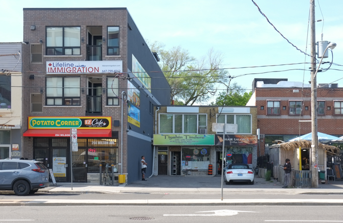
red brick strip mall on Wilson Avenue

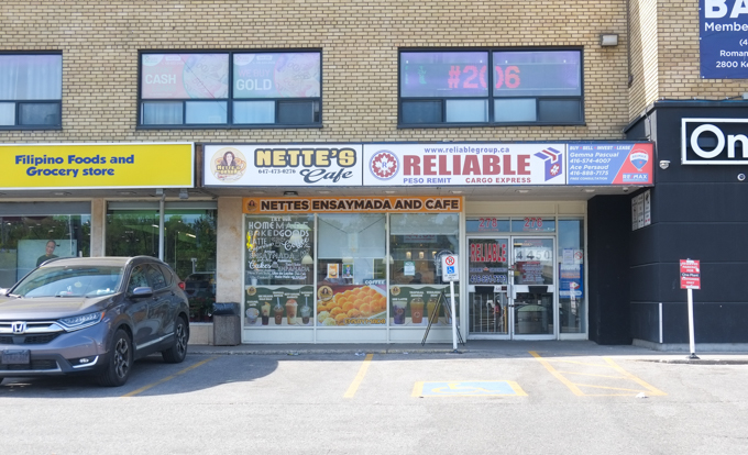
below: Bathurst and Wilson has become predominantly Filipino.   This place specializes in ensaynadas which is something that I had never heard of.   It’s a Filipino bun with different flavorings/toppings such as cheese, or almond (or many others).   Filipino, but from Mallorca (Spain) too … and possibly with a Jewish origin.

looking southwest at corner of Bathurst and Wilson, pedestrian crossing the street, some traffic, Tims in the background

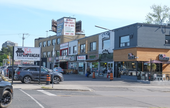
strip mall with small businesses, parking lot in front,

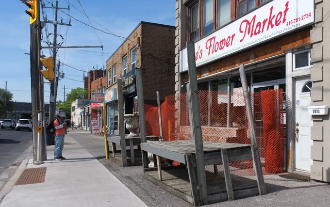
looking north up Bathurst, east side of the street, Flower Market with empty display shelves by the sidewalk, man on phone waiting for a green light

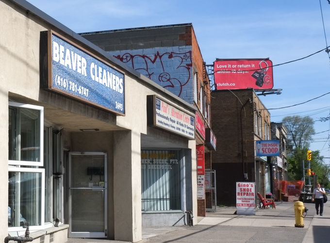
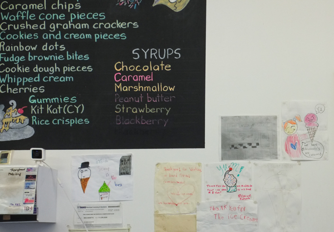
below: Beaver Cleaners – where to go when the beaver needs a good scrub.  More importantly, just beyond it is The Inside Scoop which sells fabulous ice cream!

Beaver Cleaners on Bathurst St., also The Inside Scoop ice cream shop

below: You can also find a mural by Nick Sweetman nearby.  It lines both sides of the Bathurst underpass at the 401.  I have blogged about it previously – in fact, it was the previous post: Animals under the 401

part of an animal themed mural by Nick Sweetman in Toronto, bee and butterfly

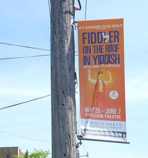
below: A banner to advertise a production of ‘Fiddler on the Roof’ in Yiddish with English subtitles that was playing at the Elgin Theatre (downtown).

banner on hydro pole that is advertising a production of Fiddler on the Roof, in Yiddish, with English subtitles

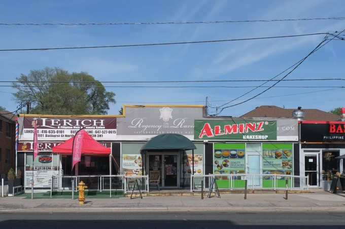
commercial buildings on Bathurst street, Alminz bakeshop, Le Rich,

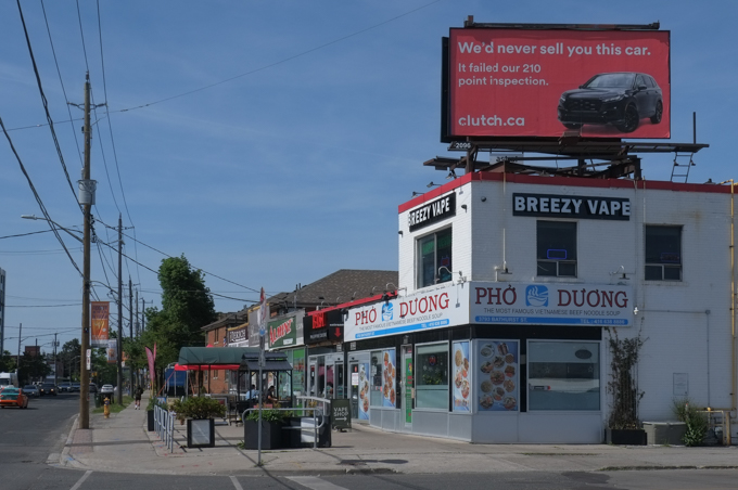
businesses on Bathurst, north of Wilson, inclusing breezy vapes, also pho duong vietnamese restaurant, billboard on top of building for clutch dot ca,

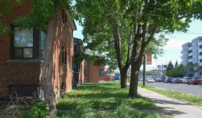
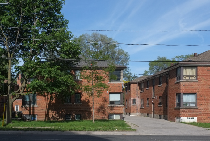
looking south on Bathurst past lowrise brick apartment buildings

brick apartment buildings

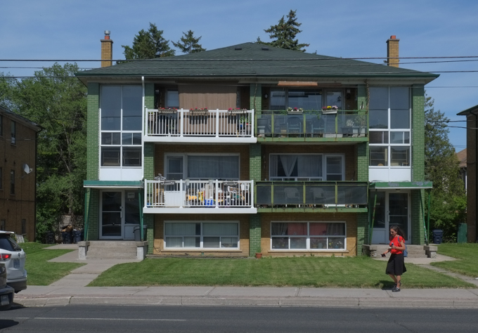
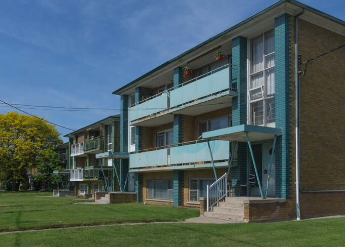
Sixplex residential building with balconies across the front

Sixplex residential building with balconies across the front, side angle

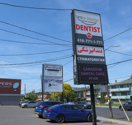
large sign in parking lot in front of commercial buildings, smile dentistry, also words in arabic, also sign for Pancers original deli

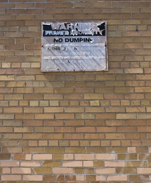
brick wall with black and white no dumping sign. Sign is faded, and some layers are peeling off

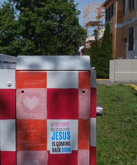
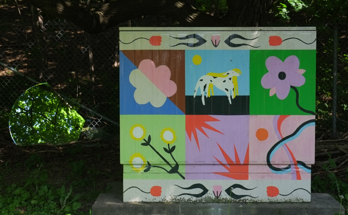
side of metal bell box on sidewalk painted with red and white checkerboard pattern with some pink hearts.    Sticker telling us that Jesus is coming back soon and that the rapture in imminent

painted metal Bell telephone box beside a residential street

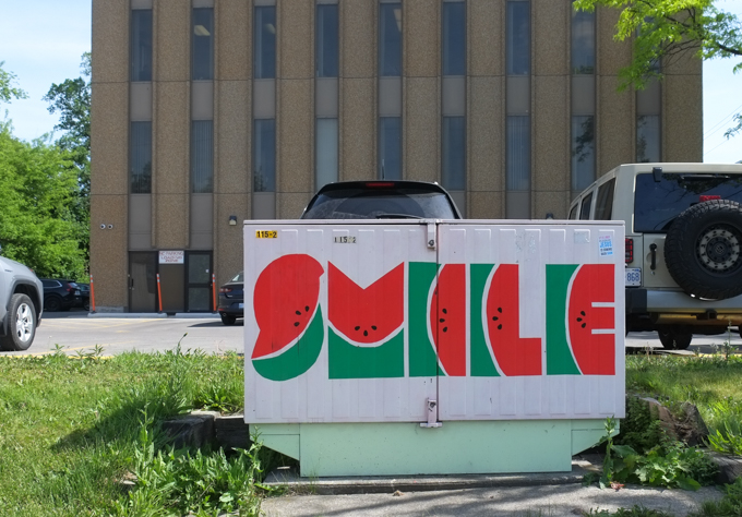
metal bell box on sidewalk painted with the word smile such that letters look like slices of watermelon


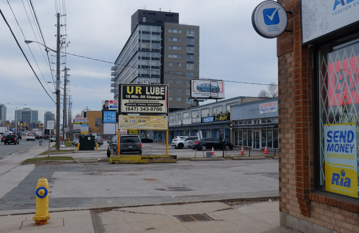
Lawrence Avenue East between Victoria Park and Warden Avenues is a fairly typical Scarborough “thoroughfare” street, or arterial road.   It has seven lanes of traffic and is lined mostly by strip malls set back from the street to accommodate parking lots in front.  It is designed for cars.   Also typical of Scarborough are the many different ethnic restaurants and shops.  I decided to walk these few blocks after I heard about  The Lawrence Prospect which is a group advocating changes to this stretch of Lawrence Avenue…  Changes like dedicated bus lanes and bike lanes as well as sidewalk improvements to increase pedestrian safety. They are promoting the idea of a “complete street” which simply means that the street works for all users, not just for cars.

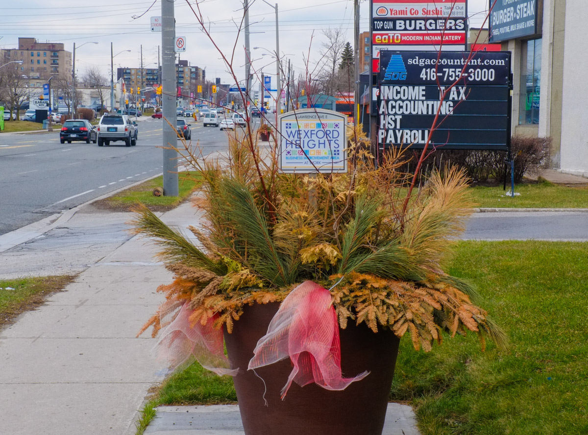
below: This stretch of Lawrence lies in the Wexford Heights neighbourhood

large black planter beside sidewalk with faded red ribbon, winter greenery pine and a wexford heights sign

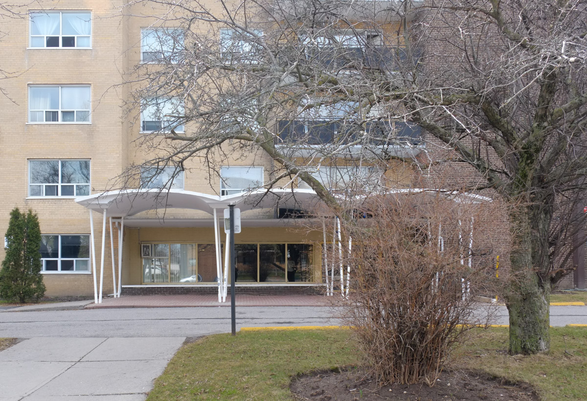
below: The wavy roof over the entrance is a throwback to the late 1960s and 1970s when there was a lot of development in the area.  It was an era when the car ruled.  Land was cheaper and more abundant.  Strip malls and ‘plazas’ were popular.

front of an apartment building, with entrance, from the 1970s, with wavy roof over the entrance

Like many areas of Scarborough (and Toronto for that matter), it is very multicultural.  You can find a cast array of different ethnic restaurants and stores here.

Lawrence Avenue East

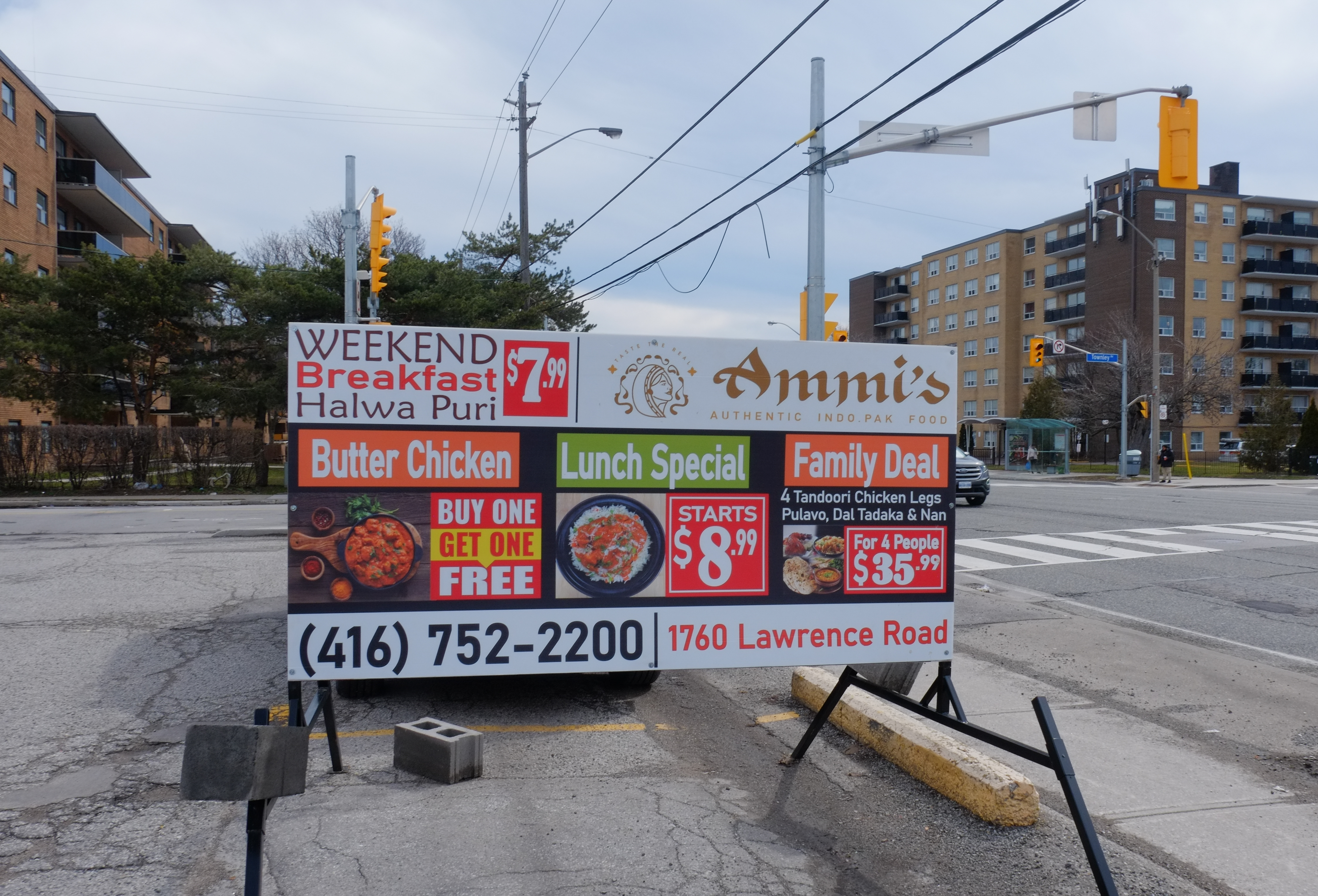
below: Weekend breakfast, Halwa Puri, Butter Chucken, Lunch Special, and Family Deal with tandoori chicken!

restaurant advertisement sign in parking lot on Lawrence East, for Ammi's Restaurant

below: Ibrahim BBQ Shawarma, halal, with Iraqi kabab and Shawarma wraps, 2 for 1!

Ibrahim BBQ and Shawarma restaurant window with pictures of items on the menu

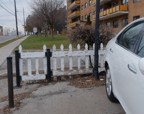
below: Very few remnants of a much slower and sleepier past remain.  Little white picket fences are rare!

old low beat up white picket fence between parking lot and low rise apartment building

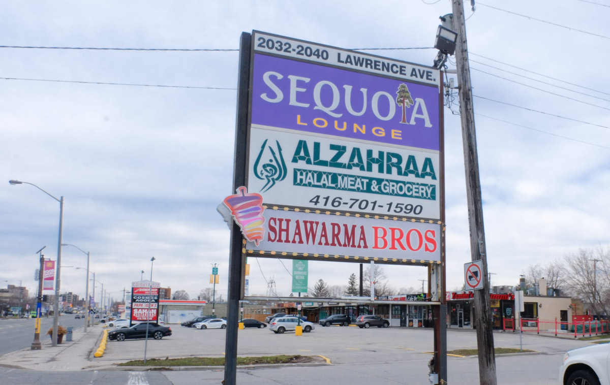
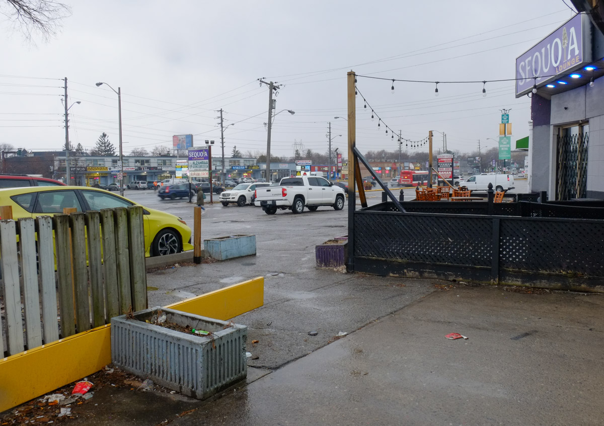
large billboard type sign in parking lot in front of strip mall, for Sequioa Lounge, Alzahraa halal grocer, and Shawarma Brothers,

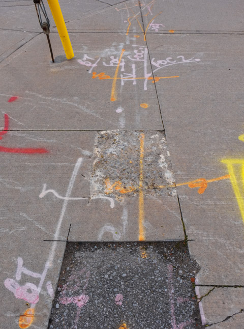
below: Part of the impetus for the Prospect project was the fact that some street work was going to be completed here this spring/summer.  Why do a partial job only to have to redo it a year or two in the future?  As of today (28April) there is no construction happening here.  The only sign of work is at the corner of Lawrence and Warden where the sidewalk was widened.

metal construction fence around a newly widened sidewalk with bus shelter in the middle

spray paint marks on sidewalk in orange, yellow, pink, and white, marking different utility lines or construction points, sidewalk

Bike lanes on Lawrence Avenue from Victoria Park all the way to Rouge Hill (16.2km) were approved in 2008 but were never built.

speed bump ahead sign by parking lot of Tim Hortons, also a no trespassing sign

below: The Moon Lounge with its neighbours – Mayfair Drapery & Rug below with Tru Belle on top – skincare, hair care (pink!), and body sculpting advertised.

two storey store front on Lawrence with lowrise apartment building in the background

below: Unloading can, bags, and boxes

men unloading bags and boxes of groceries to an Asian, Indian, food store

below: Window of Top Gun Burger

looking in window of top gun steak and burger restaurant, logo is a tank with the bod of the tank is a hamburger

parking lot, strip mall, and newer condo building on Lawrence

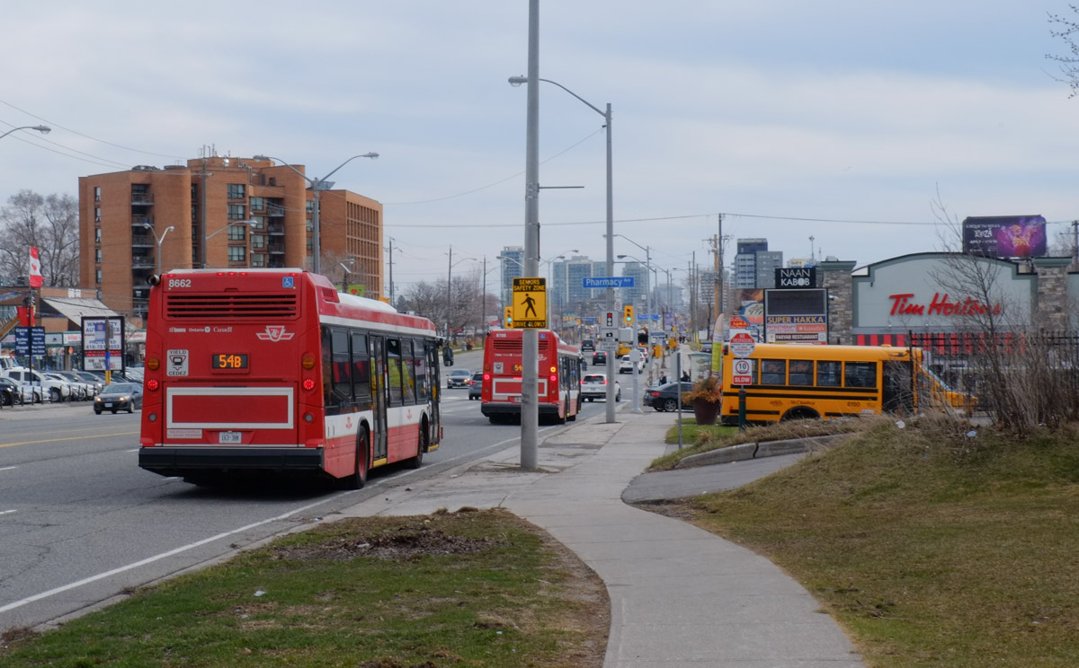
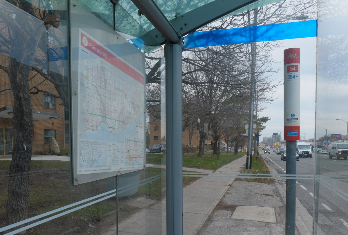
below: Lawrence East is served by TTC route 54.  It runs east from Eglinton station (at Yonge) to Leslie Street, north on Leslie, then east on Lawrence.  The route ends at Starspray Blvd – you’ve probably never heard of it but it’s on the waterfront just before the Rouge River.  That’s a distance of almost 28 km.

2 TTC buses on Lawrence, a school bus parked beside,

view of lawrence avenue east as seen through a bus shelter

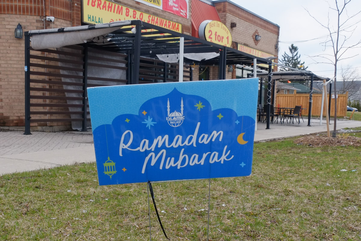
below: Greetings for Ramadan, the ninth month of the Islamic calendar, during which Muslims fast during daylight hours (among other things).  This year it was observed between 22 March and 20 April.

Ramadan Mubarak sign on lawn of restaurant

below: The planet is in our hands

painted Bell box on a sidewalk, a woman in yellow dress has her hands up in the air, holding onto the Earth with the text the planet is on our hands

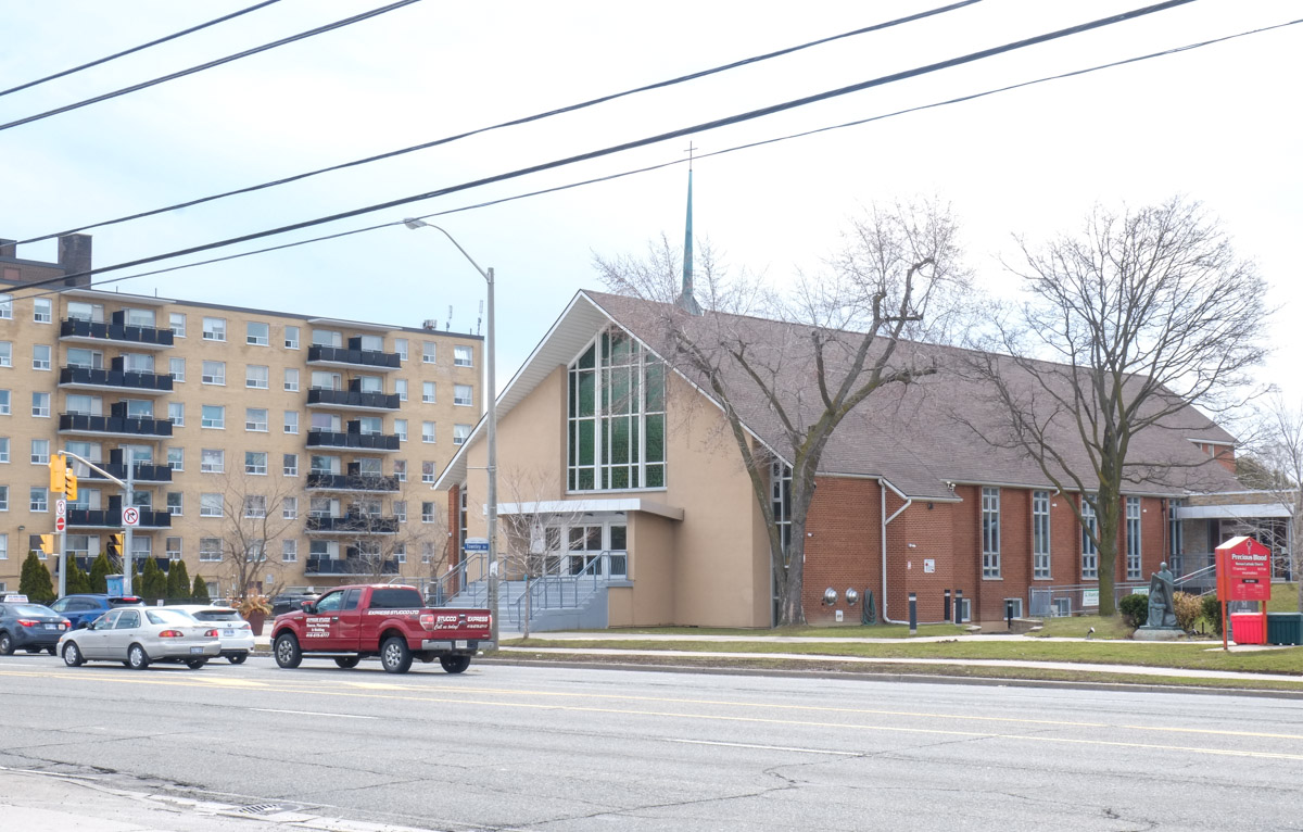
below: Precious Blood Roman Catholic Church

Roman Catholic Church on Lawrence,

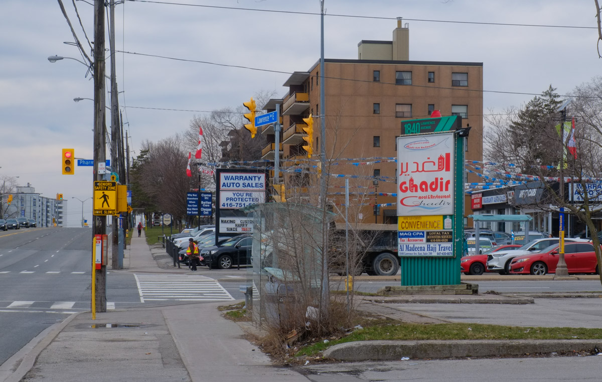
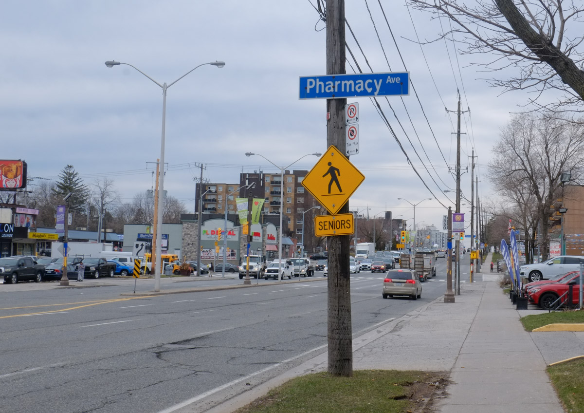
below: Looking west at Pharmacy with a Seniors crossing sign.

intersection of Pharmacy and Lawrence Ave East, yellow and black seniors sign,

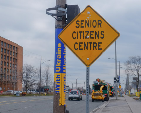
below: Do any drivers notice these signs?  What are they supposed to mean?

yellow Senior Citizens centre sign beside yellow and blue wrapped pole

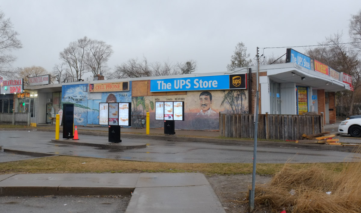
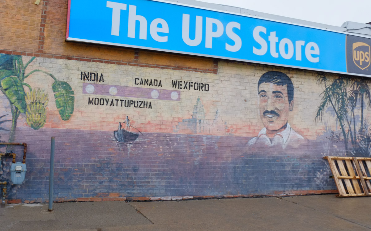
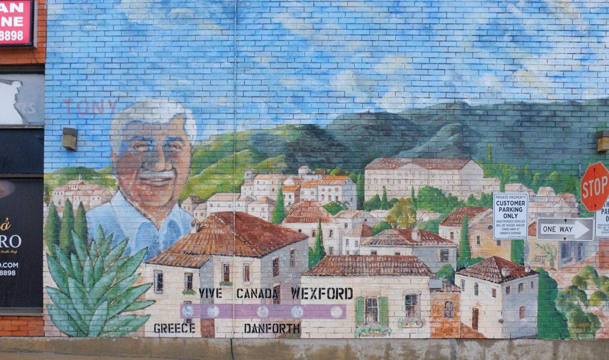
below: Wedged between the UPS store and Tim Hortons drive thru are these murals by Ian Leventhal. (NW corner Warden & Lawrence)

On the side of the UPS store, and beside Tim Hortons drive through, there are two murals on a wall

below: Moovattuphuza is a town in Kerala India.

Man's portrait on mural with route that he took from India, Moovattuphuza, Canada, Wexford

below: Diana is holding a large fish and is pictured beside a fishing village in Greece.

mural on a wall beside a tim hortons drive through

below: Nearby (SE corner of Warden & Lawrence) is Tony’s portrait.

Man's portrait, Tony, on a mural along with picture of a village in Greece, words, Greece, Canada, Danforth, Wexford,

below: Modernnisa women’s clothing store – evening gowns, kaftans, abaya, and hijabs

window and front wall of Modernnisa women's clothing store with floor length dresses and head scarves

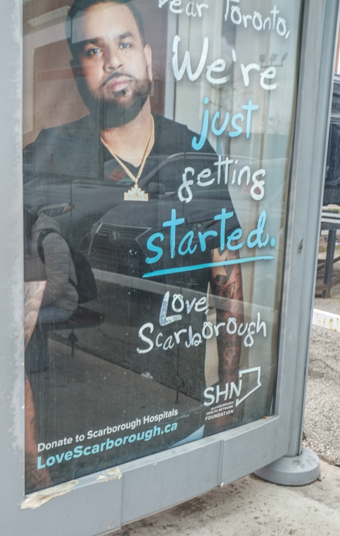
below: “Dear Toronto, We’re just getting started, Love Scarborough”.  It’s an ad campaign for Scarborough Hospitals that is appearing in bus shelters.  Along with the play on the “Love Scarborough” phrase there is a sense that maybe Scarborough’s time has come.    In 2017 Catherine Hernandez’s novel “Scarborough was published; it has since been adapted into a movie.  The movie was shot primarily in Scarborough and premiered at TIFF in Sept 2021.

advertisement in a bus shelter for Scarborough Hospital, photo of a black man in scrubs, with text that says dear toronto, we're just getting started, love scarborough

used cars with no licence plates in a lot on Lawrence

below: Multicultural yet very Canadian.

cars for sale with Canadian flag licence plates on front,

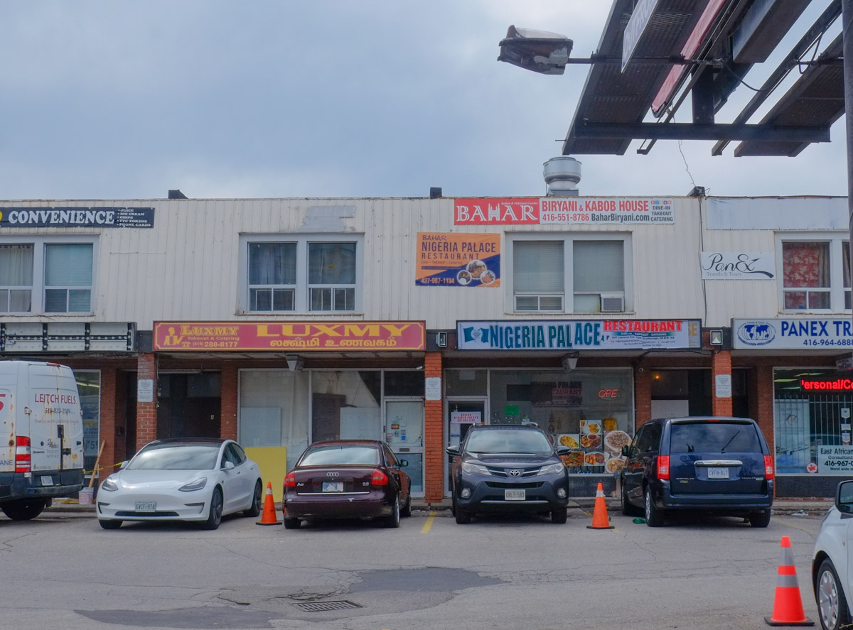
below: Nigeria Palace, Bamar Biryani and Kabob, Luxmy Restaurant

businesses in two storey pale grey brick strip mall

below: Northwest corner of Warden & Lawrence

parking lot

There was one thing missing here – I didn’t see one single blue and white City of Toronto development notice sign!  Nada!

purple bin to donate clothing, broken sign, puddle in cracked pavement, street in the background, trees with no leaves

below: There is no construction happening here – left over from a previous job?

bent orange and black construction zone sign, on a hydro pole on Lawrence, also a yellow and blue slava Ukraine pole wrapper

raining, people walking past front of TTC bus