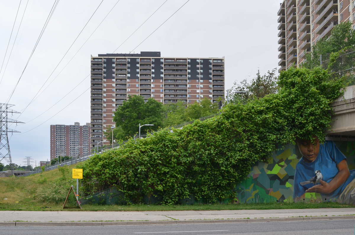
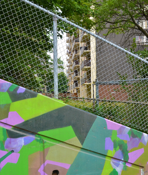
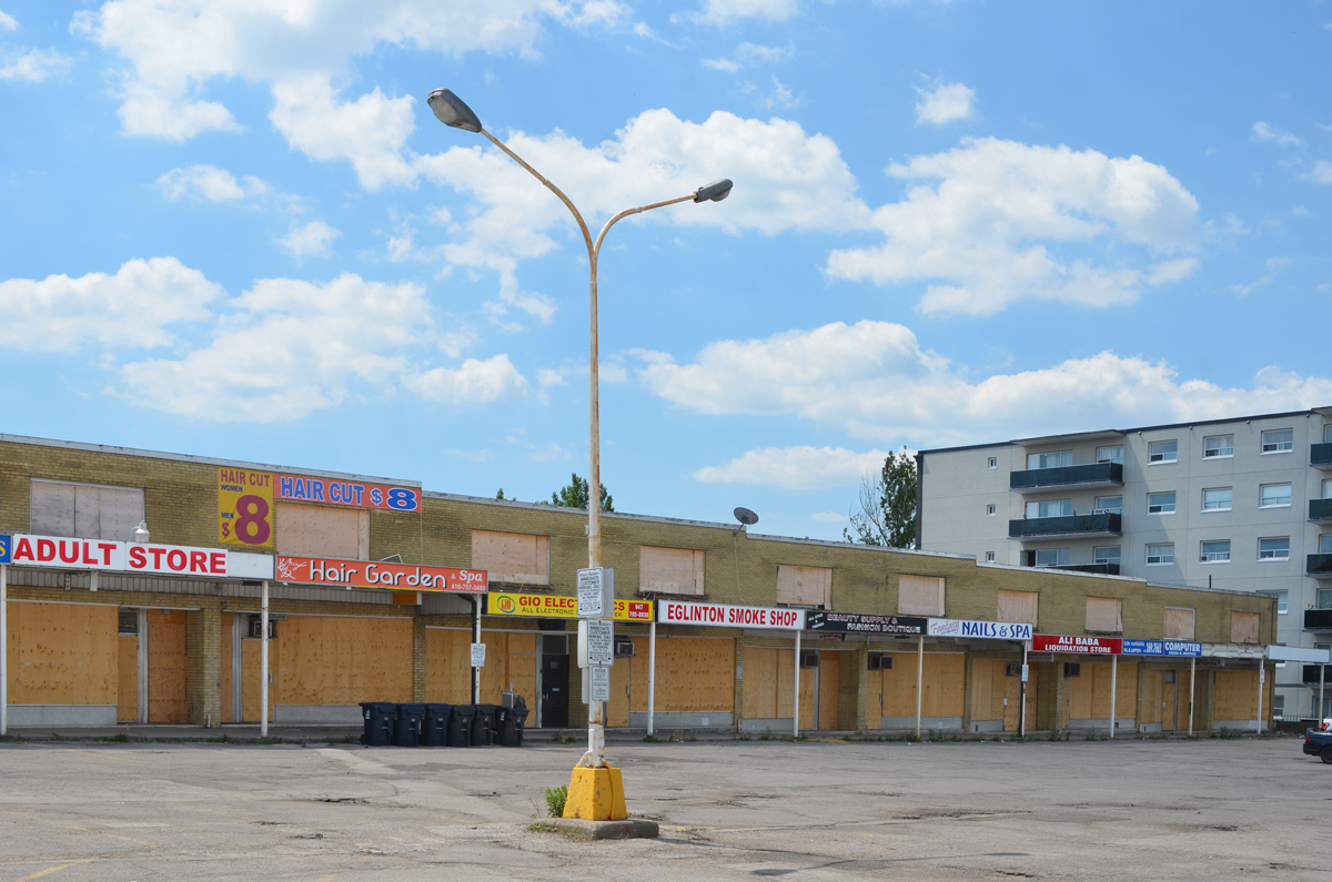
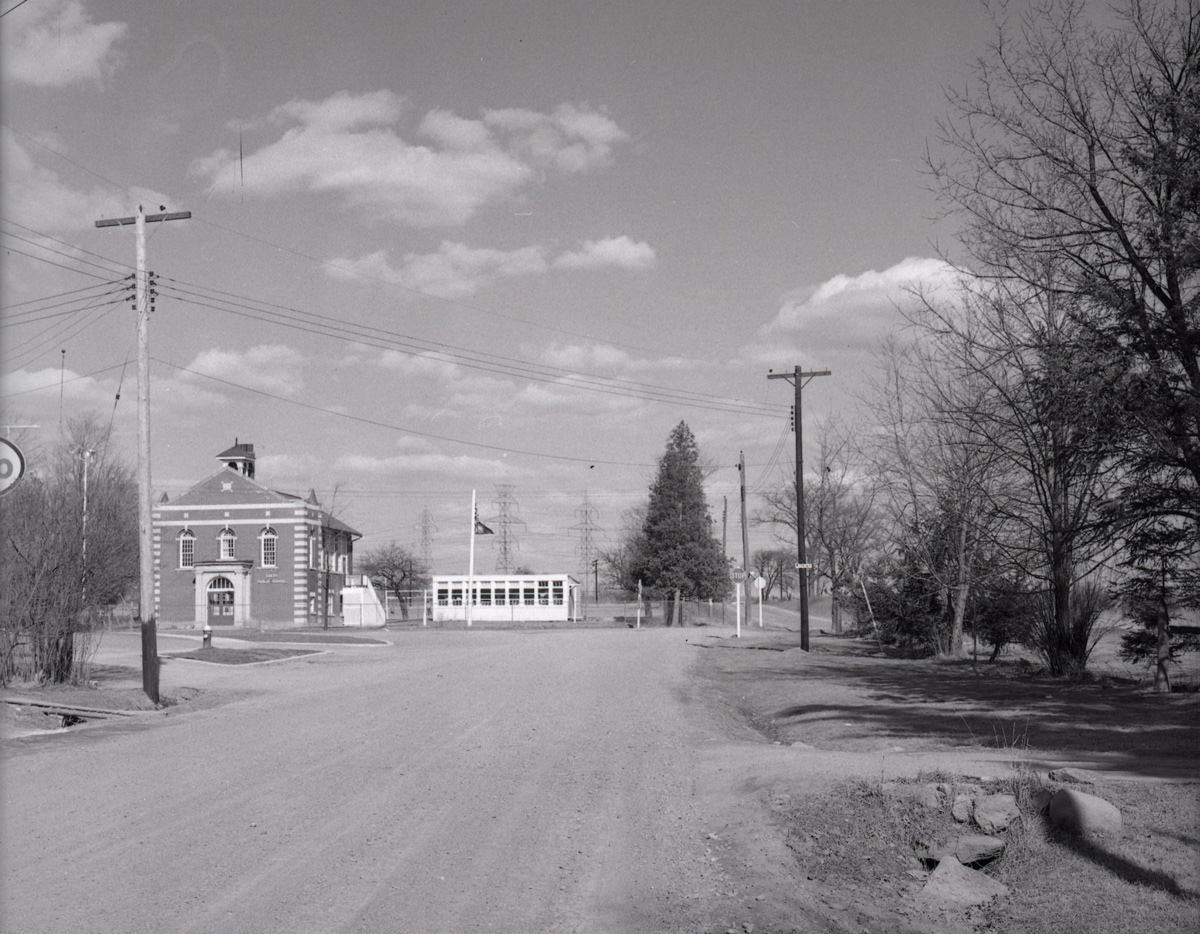
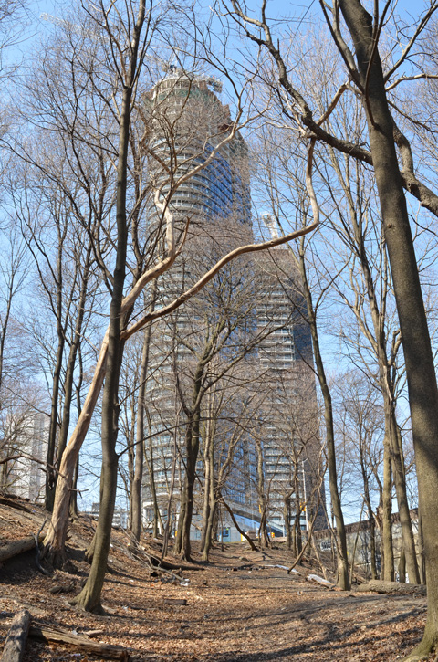
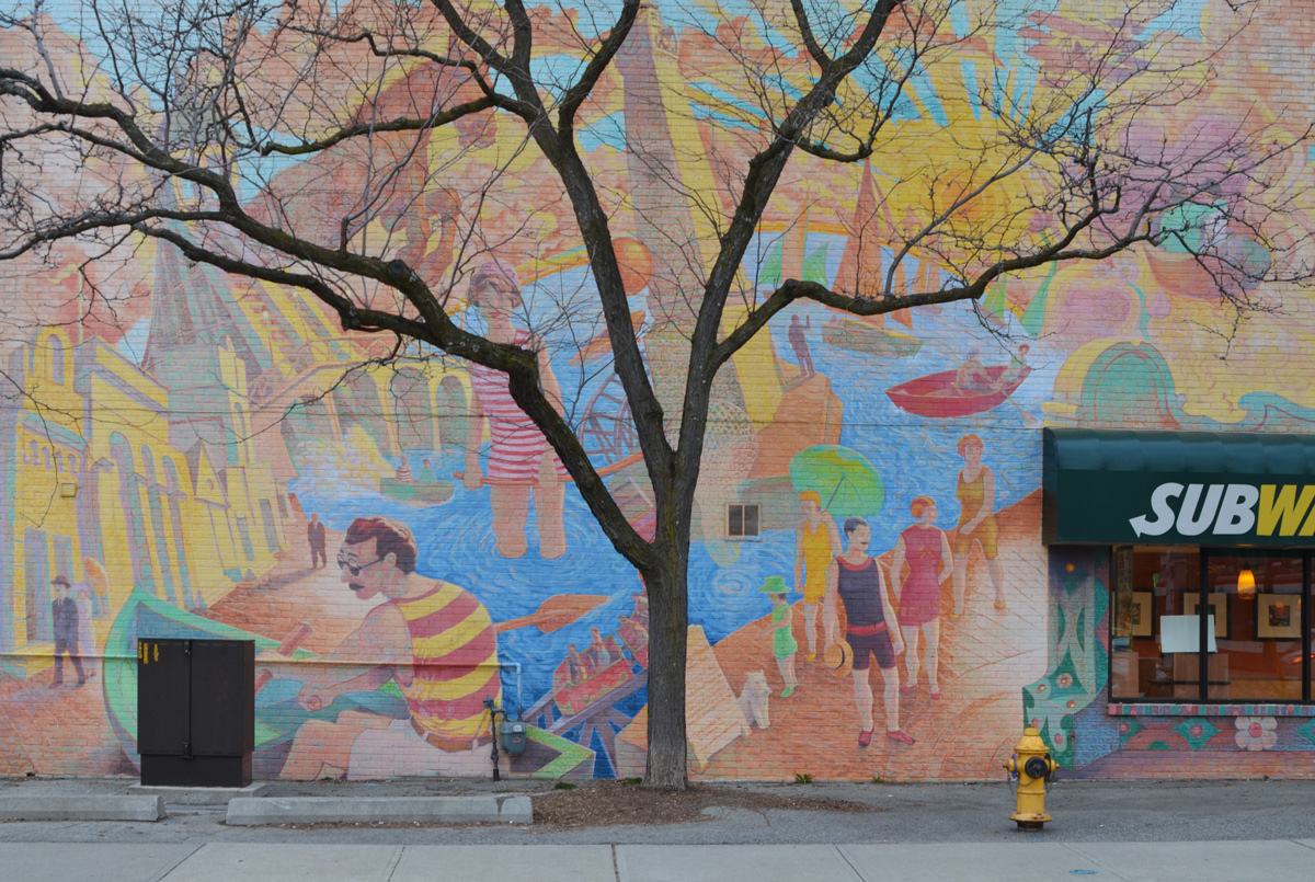
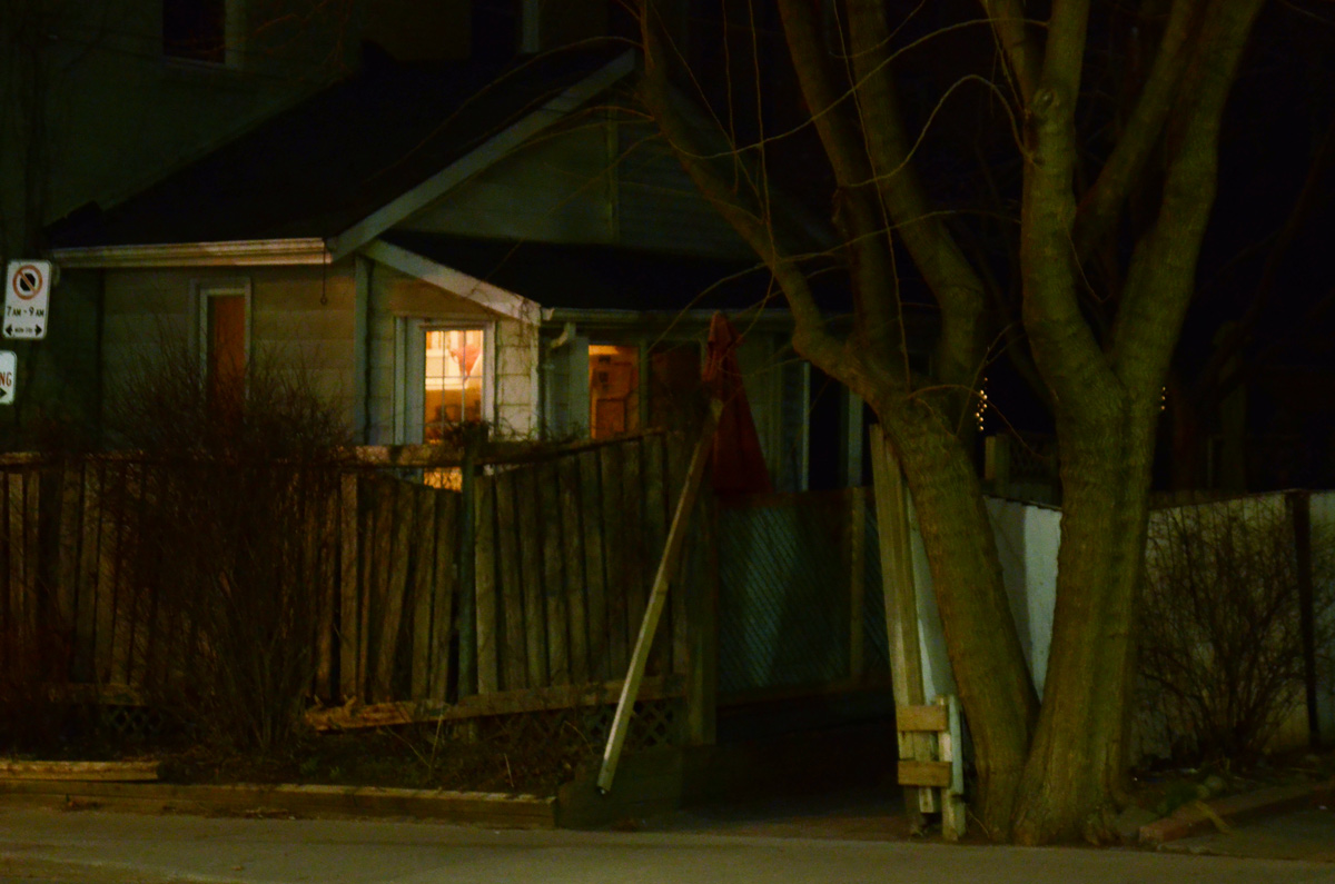
Teesdale Place runs west off of Pharmacy Ave., just east of Victoria Park subway station.
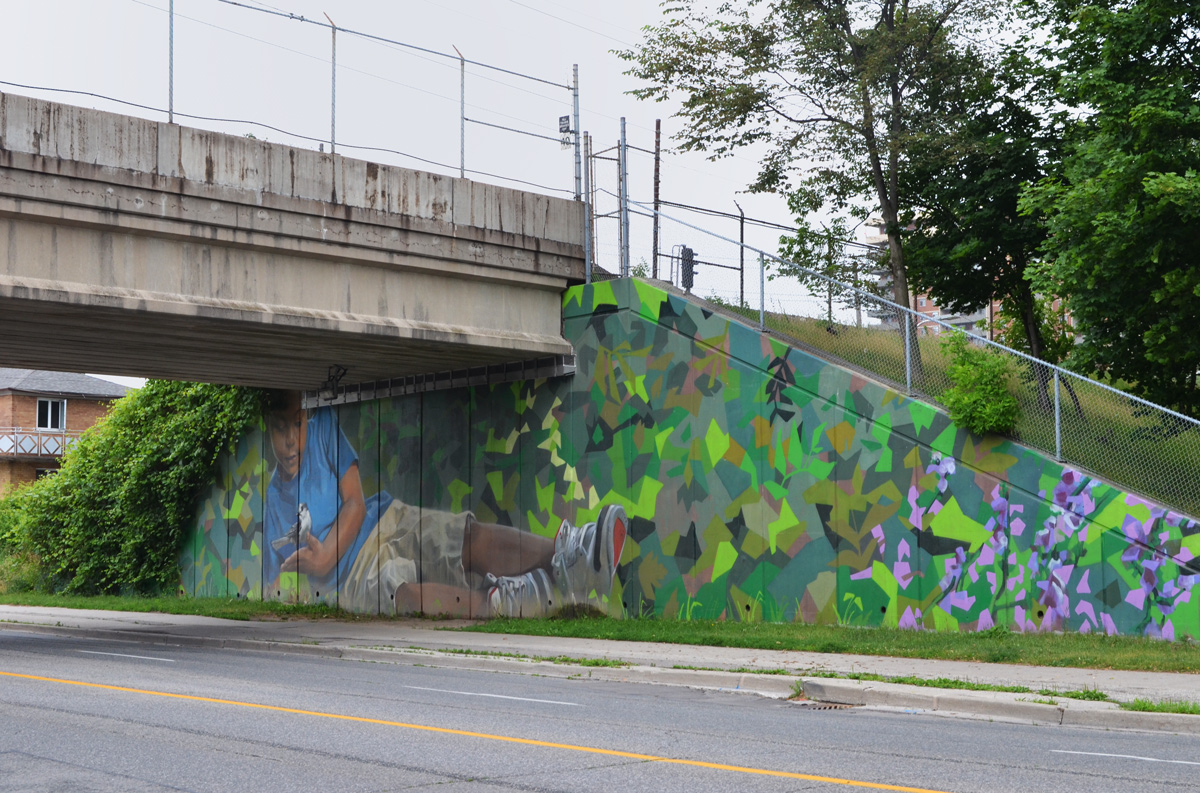
below: Victoria Park subway station is on the far left. As the tracks cross Pharmacy Avenue, there is a mural by Jarus of a boy holding a blue jay that covers all of the underpass.
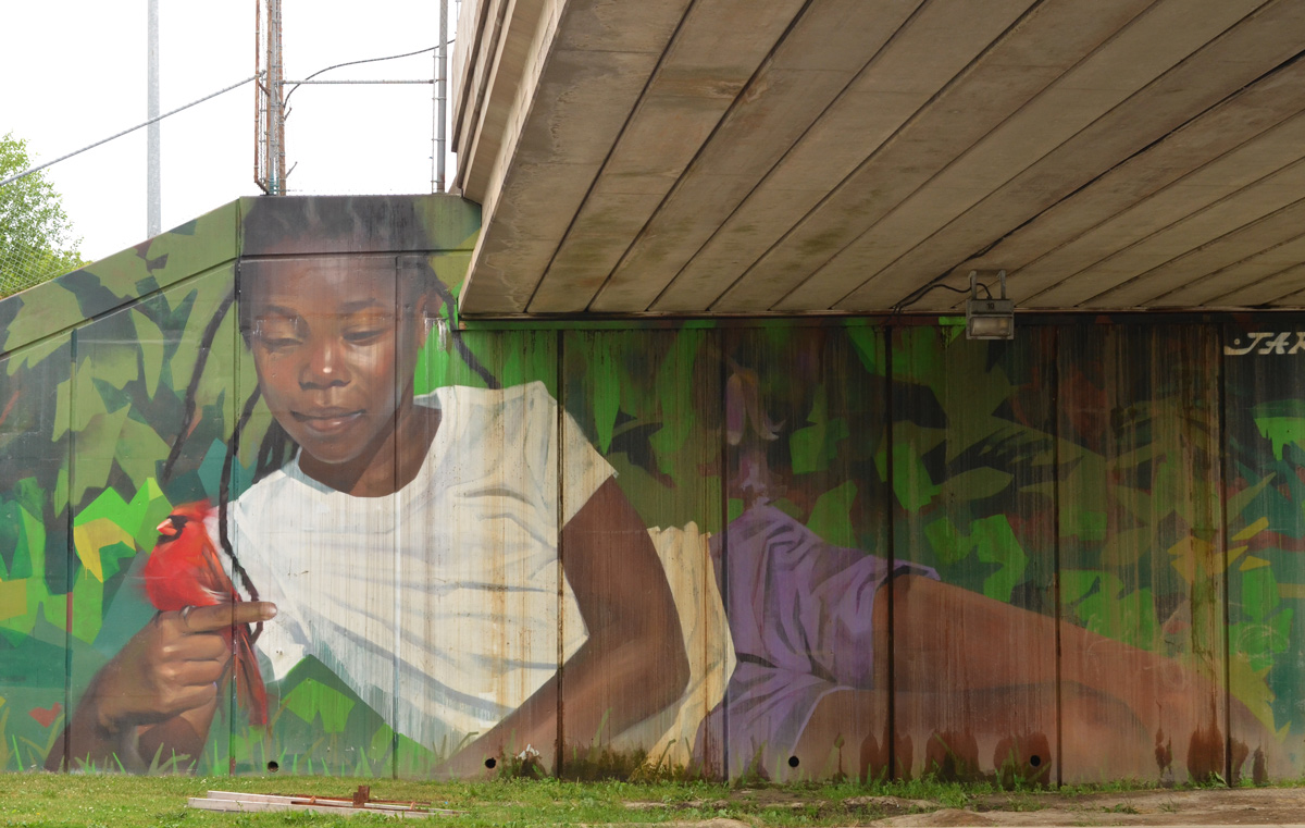
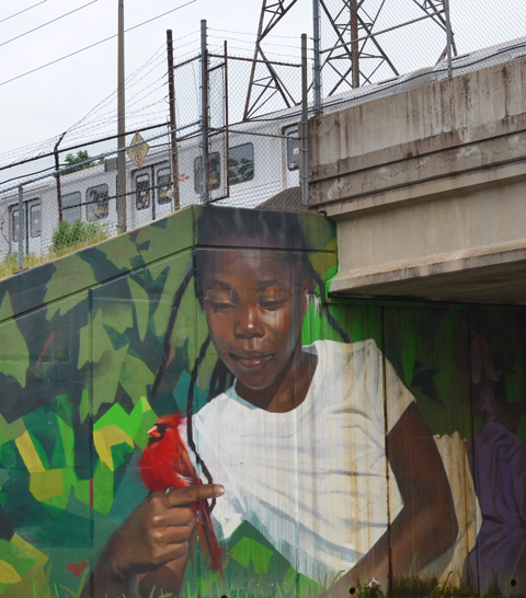
On the other side of the underpass is another mural by Jarus – a young girl holding a cardinal carefully in her hand.
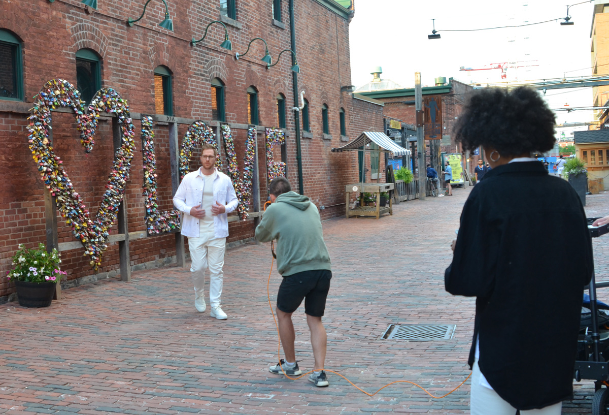
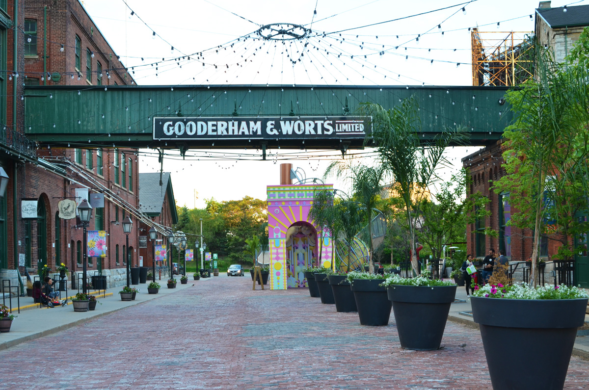
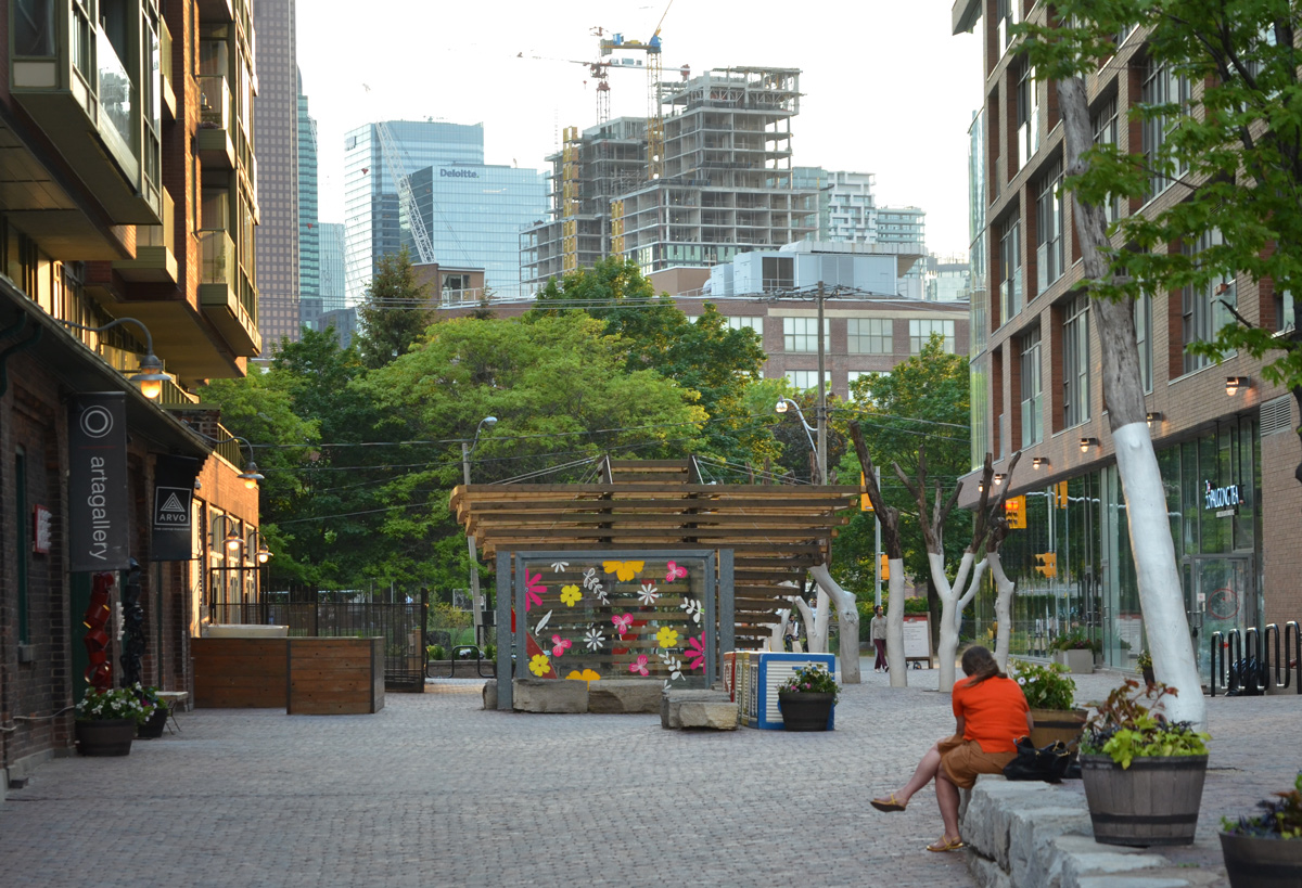
Because of COVID, the annual ‘Winter Stations’ art installation at Woodbine beach was cancelled. Instead, there is ‘Spring Stations’ now showing at two locations including at the Distillery District.
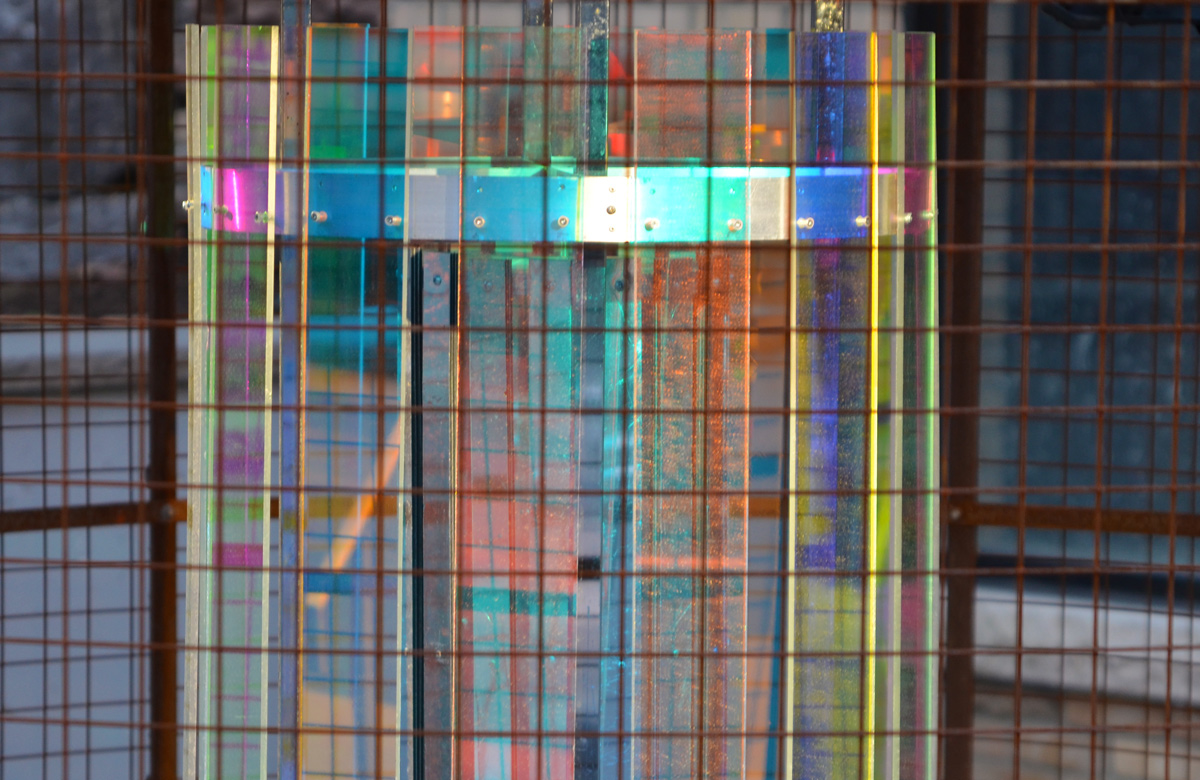
below: “The Epitonium’ by Iranian design team of Mojtaba Anoosha, as well as M., Shahed, Elaheh, and Alemeh Yenglabad. It looks like a large sea snail has landed in the Distillery District.
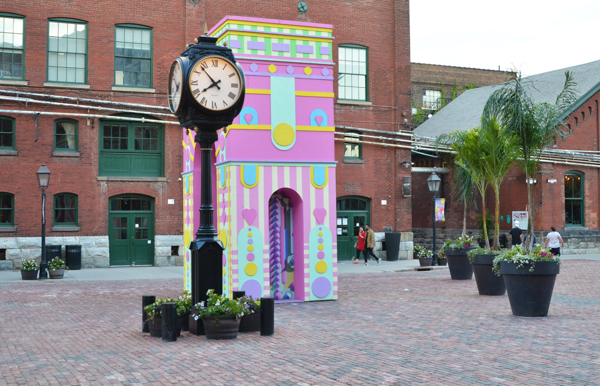
below: ‘ARc de Blob’ created by Austrian and UK team Aleksandra Belitskaja, Ben James and Shaun McCallum.
below: ‘From Small Beginnings’ by Jack and Charlie Leather behind the red heart. The original design called for small spruce seedlings growing on the timbers.
Sometimes I choose my walks randomly and sometimes I am on a mission to find something in particular. The other day, June 1st, definitely falls in the latter category. I have been following the Crosstown LRT/subway construction so when I heard that the new LRT trains were arriving for testing near Kennedy I knew that I had to see it for myself. While I was there, why not check out the area?
below: On Eglinton, east of Kennedy
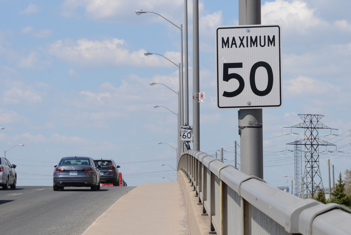
below: It’s not the most pedestrian friendly stretch of road but it’s also a bridge over railway tracks.
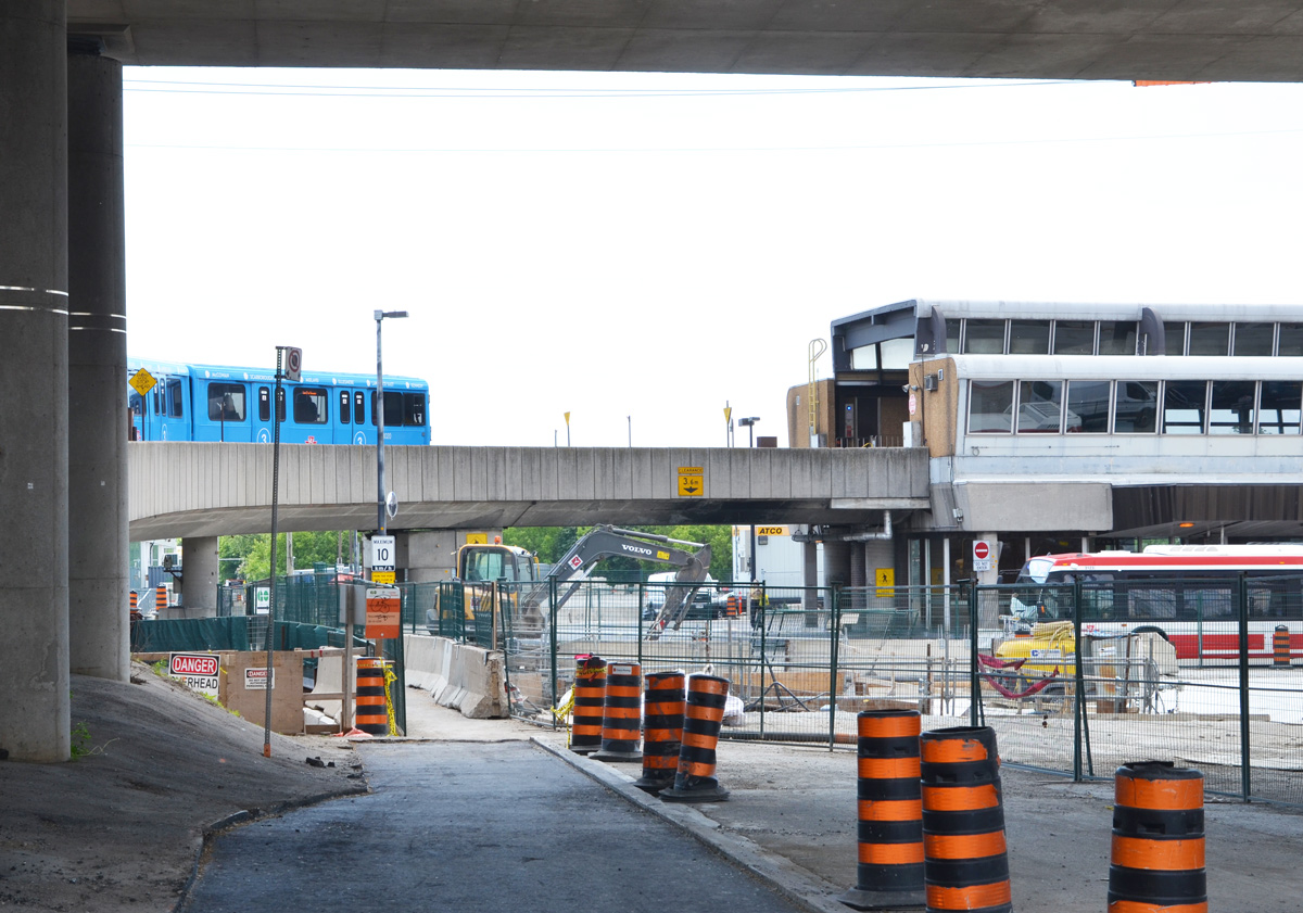
below: Kennedy station is already a GO train station. The east end of line 2 (Bloor-Danforth line) swings north as it crosses Scarborough. By Kennedy it is at Eglinton Ave and here it connects with the above ground TTC line 3 (Sheppard line). The blue train is the latter.
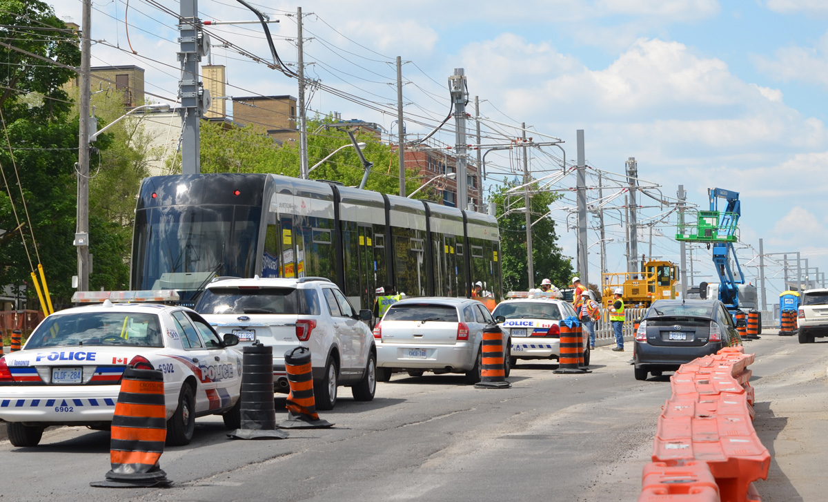
below: Looking west towards the intersection of Kennedy and Eglinton.
below: Northwest corner of Kennedy and Eglinton
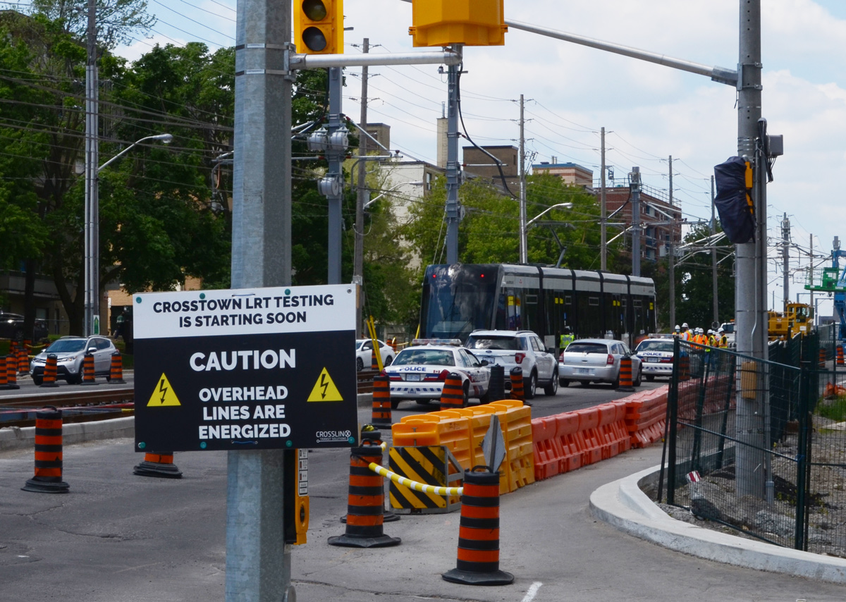
below: The Crosstown LRT tracks are on the surface for
most of the Scarborough portion of its route. Just west of Kennedy station they go underground.
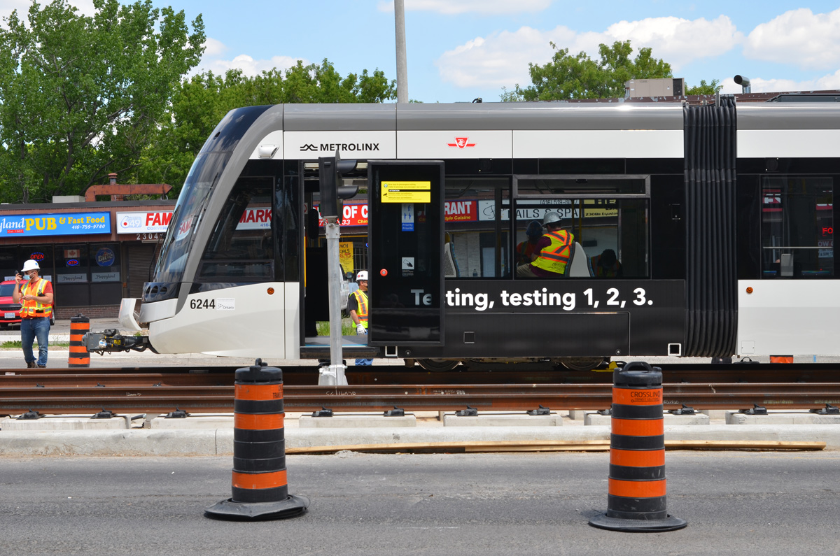
below: A new LRT train on the tracks between Ionview and Kennedy stations. It had been unloaded from a truck minutes before I arrived. At least two other trains where scheduled to arrive that day.
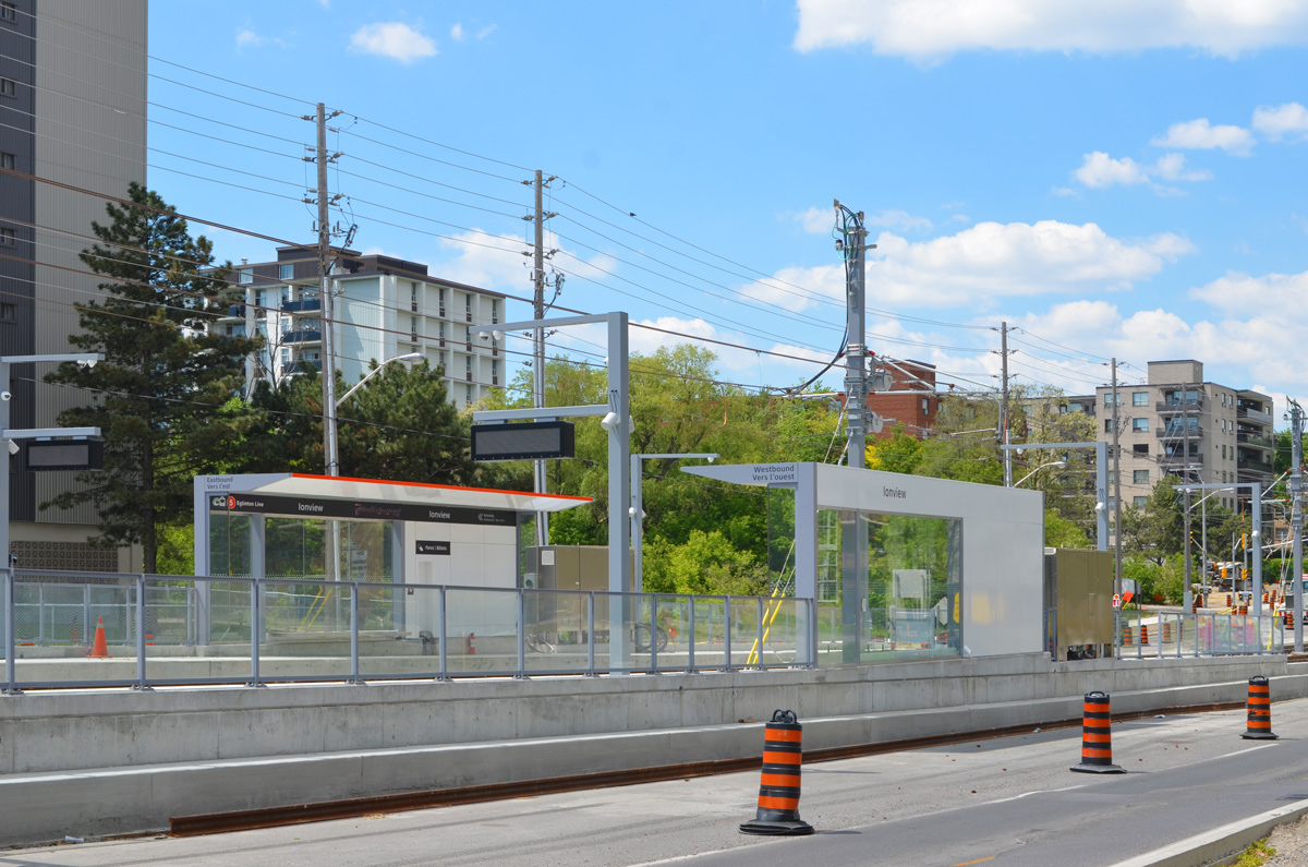
below: Ionview station
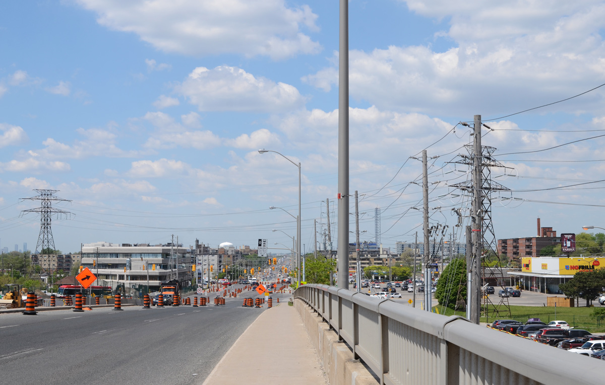
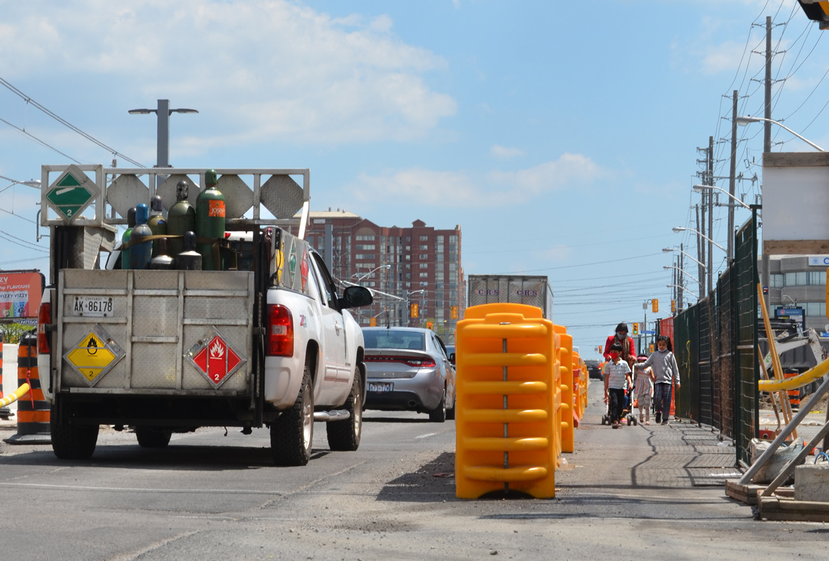
below: Traffic flow
below: That’s one way to use a construction sign. Whether Mike is responsible or has been pranked is anybody’s guess
below: The new Kennedy LRT station (at the eastern end of the line) is almost complete. The LRT is scheduled to be operational “sometime in 2022”.
below: What people keep on their dashboards…..
below: Kiss ‘n Ride at Kennedy station
below: TTC subway train, line 3, enters Kennedy station.
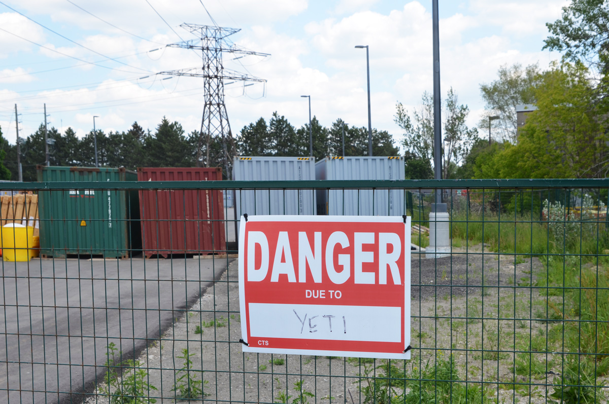
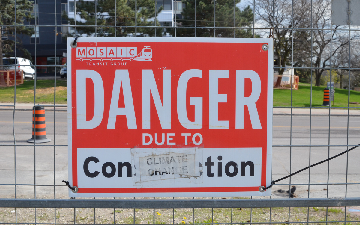
below: Danger due to yetis
below: Parking for an underground church? Or underground parking for a church?
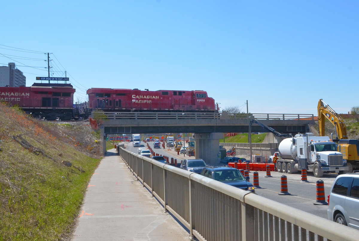
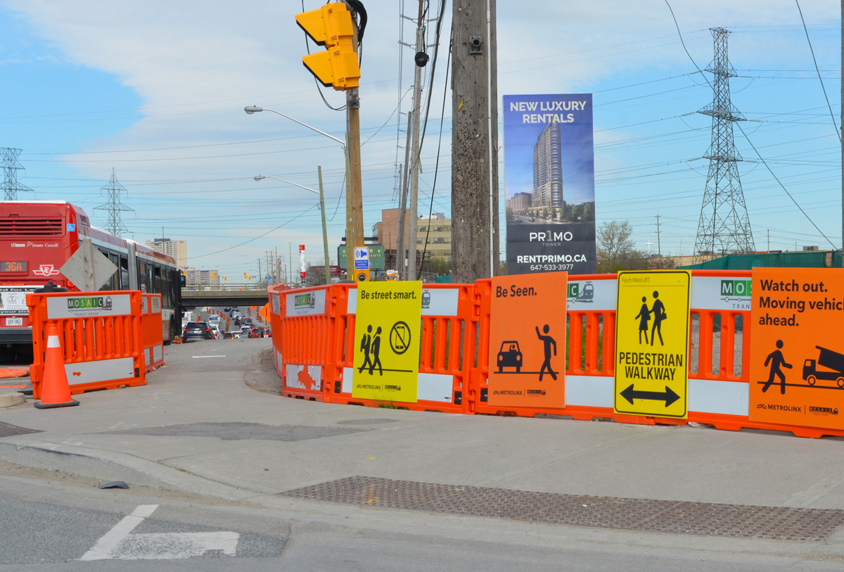
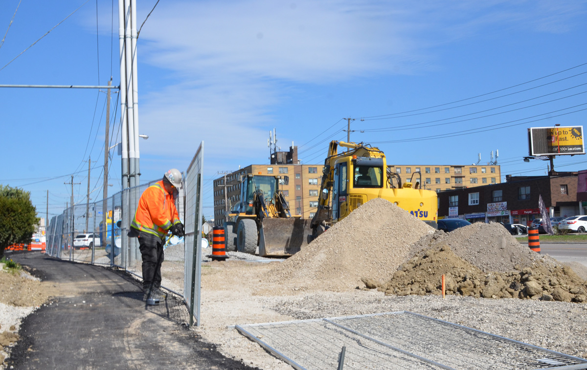
Today, the intersection of Finch and Weston Road is a mess. Metrolinx is preparing to start construction on the Finch LRT, more than 12 acres on the southeast corner is being totally rebuilt, and water mains along Finch are being upgraded. The intersection also has the misfortune to lie in a hydro corridor.
below: Looking west on Finch at Weston Road.
below: Canadian Pacific tracks cross Finch just east of Weston Road
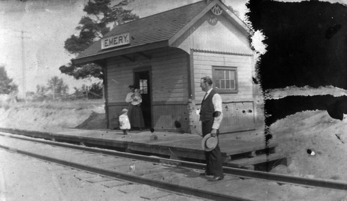
below: Emery train station just after 1900. This was a a flag station built for the Toronto Grey and Bruce Railway in 1870 (i.e. trains only stopped if you flagged them down). In the early 1880s the line was acquired by the Canadian Pacific Railroad. Photo source: Toronto Public Library
Like the rest of the GTA, development here began as a village that supported the surrounding farms. In 1796, Isaac Devins and his wife Mary Chapman were given 200 acres of land, south of what is now Finch Ave from Weston Road to Islington. Devins had worked with Governor Simcoe as a superintendent on the construction of Yonge St. Two of their grandsons opened businesses near the corner of Finch and Weston Road. – one was a blacksmith and the other a carriage maker. A brick schoolhouse came shortly after 1850 and the Methodist church followed in 1869. A post office was established in 1879… and Emery was officially a village.
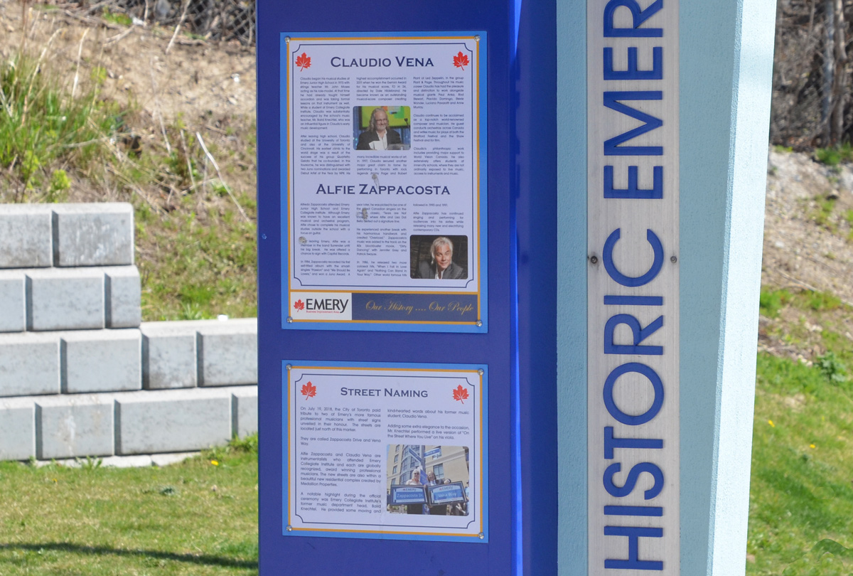
Celebrating the history of Emery are some plaques on display at a couple of bus stops on Weston Road. The one below describes two musicians with local roots, Claudio Vena and Alfie Zappacosta. Both men have streets named after them.
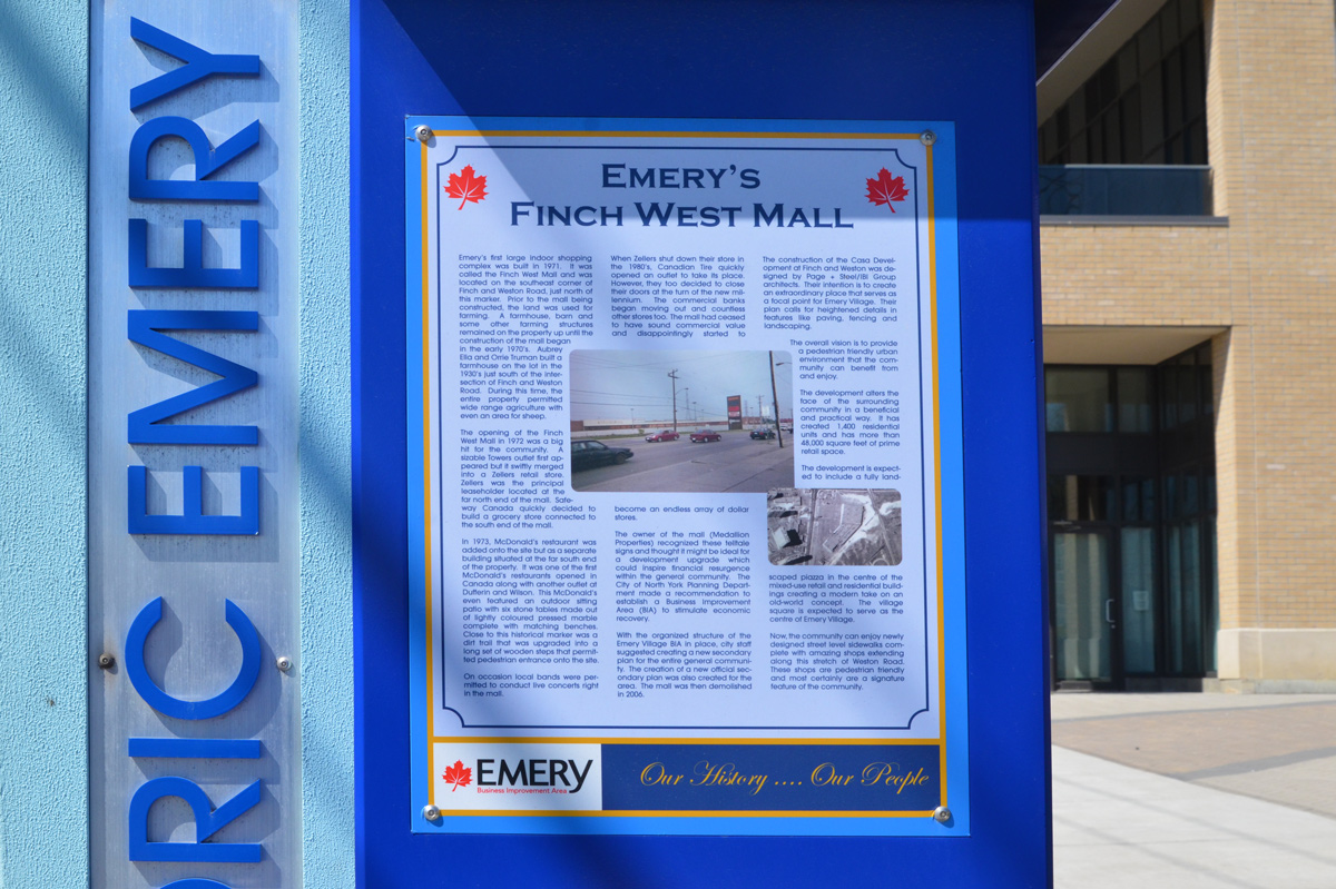
below: Finch West Mall was built in 1971 on the southeast corner of Finch and Weston Road on what had previously been farm land. Step-brothers Aubrey Ella and Orrie Truman had farmed here since 1930. …. but you can’t go shopping there any more. [transcription of the text can be found at the bottom of this post]
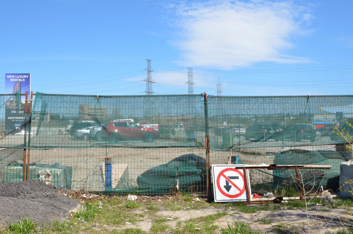
below: Development notice sign at the site of the former Finch West Mall. The proposal includes 5 towers, 2237 residences ranging from bachelors to 3 bedroom, some retail, and a park. All rentals.
below: Construction is only in the early stages so there isn’t much to see
below: Preparations for the construction of the Finch LRT are underway.
below: But not always well thought out – here sidewalk access ends but the only way to go is to cross Finch in mid-block with no help
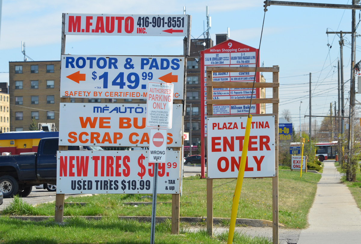
Also like many places in Toronto, Emery has become very multicultural.
below: African Food & Groceries as well as Comida Colombiana
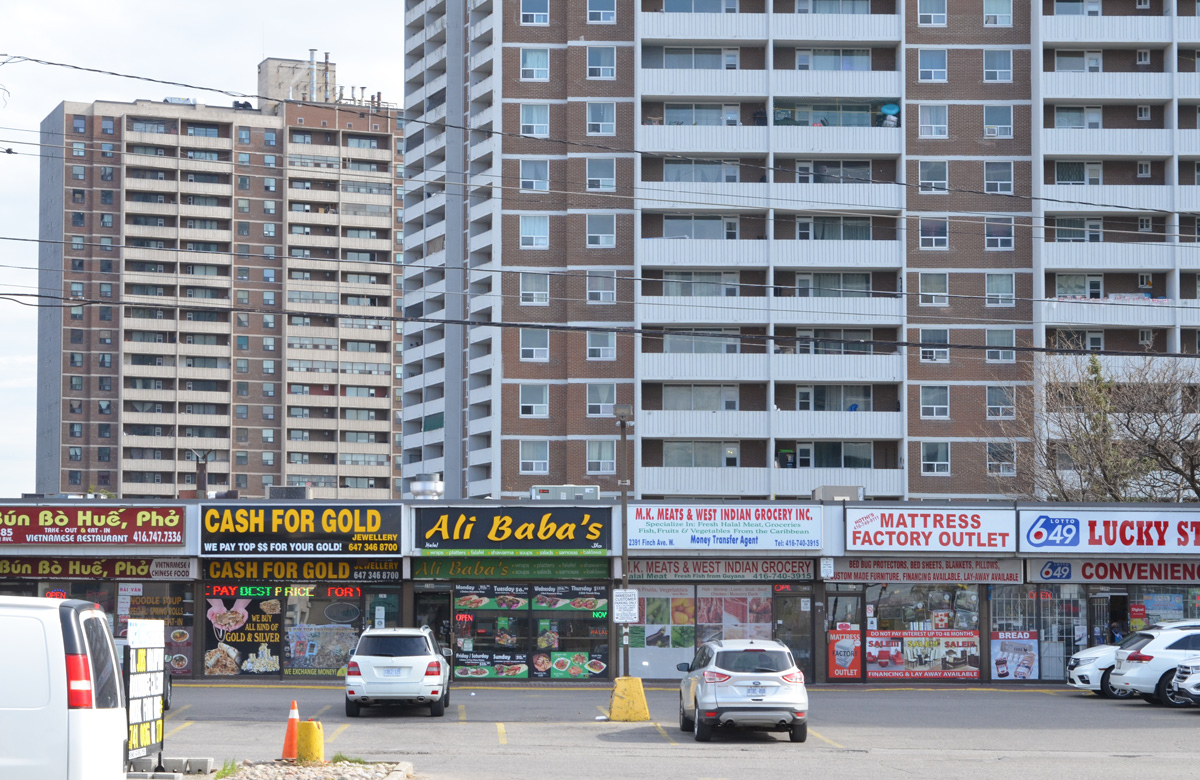
below: A Vietnamese restaurant and a West Indian grocery store
below: North York Sikh temple
below: Confusion?
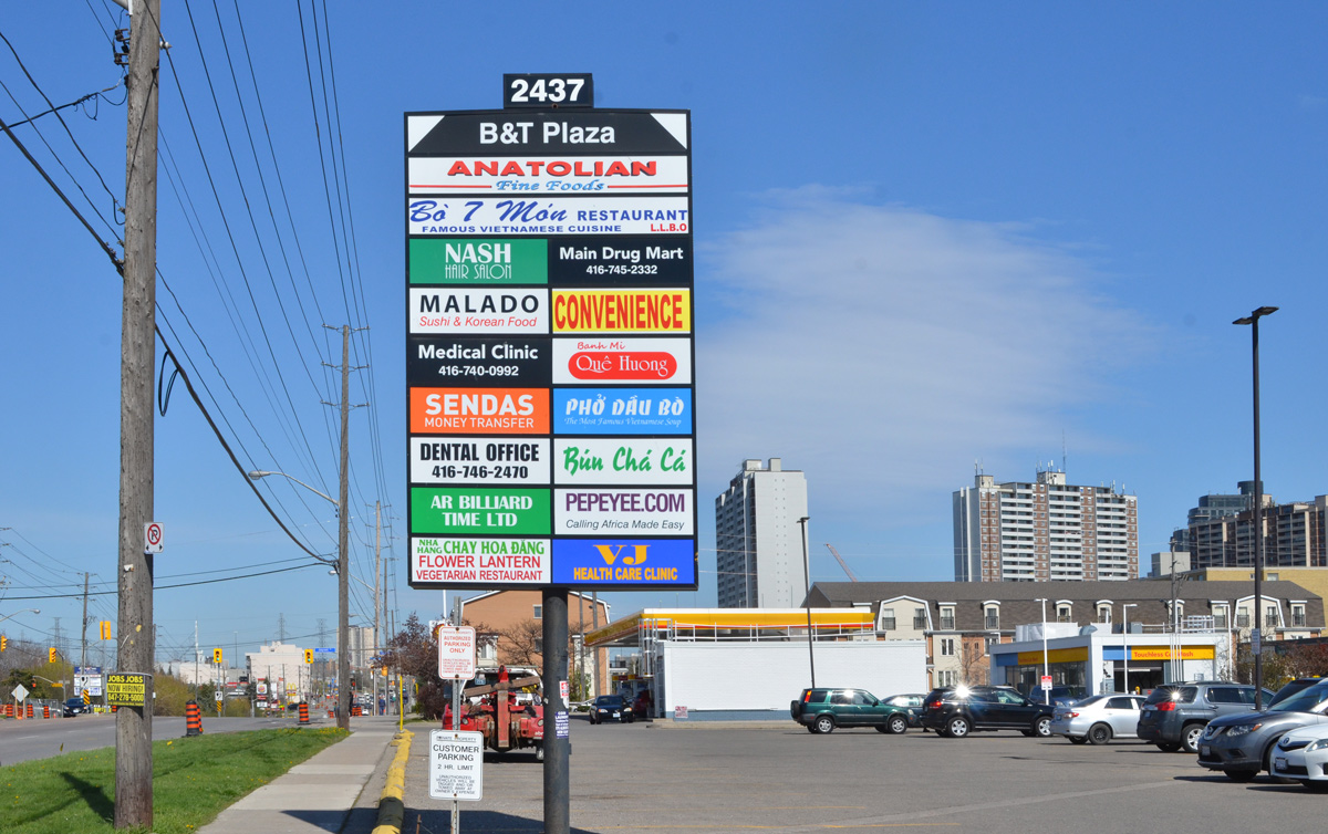
below: More restaurants and businesses
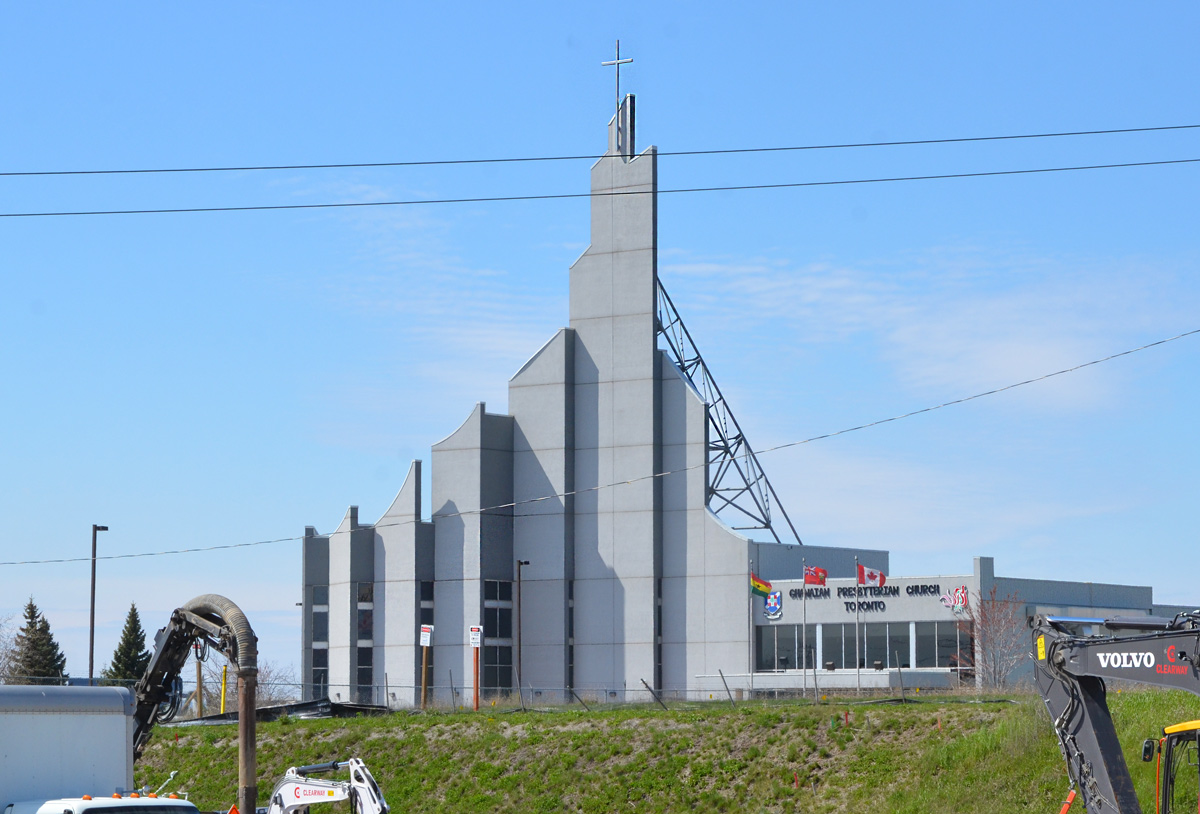
below: Ghanaian Presbyterian Church, since 1994 (as seen from Finch Ave)
below: Prayer Palace
below: Lindylou park
below: Emery Creek south of Finch
below: Finch Avenue West, looking eastward towards Weston Road
below: Slightly closer to Weston Road (from Lindyloou park looking northeast)
below: Not taken from the same spot but also Finch Avenue West, looking eastward towards Weston Road in 1958 when Finch was still a dirt road. The brick building is Emery Public School (built 1914); and it looks like it had a portable in the yard… and is that an Elmer the Safety Elephant flag? The school was demolished shortly after the picture was taken. Photo source: Toronto Public Library, photo by James Victor Salmon
below: Farther east, now past Weston Road. If you go even farther you will come to Hwy 400
below: Most of the area north of Finch is zoned for light industry including this business, the making of prefab concrete staircases. With all the condo development in the city at the moment, there must be a lot of demand for these stairs!
below: Another vacant lot
*****
Transcription of Plaque (above):
“Emery’s first large indoor shopping complex was built in 1971. It was called the Finch West Mall and was located on the southwest corner of Finch and Weston Road… Prior to the mall being constructed, the land was used for farming. A farmhouse, barn, and some other farming structures remained on the property up until the construction of the mall began in the early 1970s. Aubrey Ella and Orrie Truman built a farmhouse on the lot in the 1930s just south of the intersection of Finch and Weston Road. During this time, the entire property permitted wide range agriculture with even an arena for sheep.” “The opening of the Finch West Mall in 1972 was a big hit for the community. A sizable Towers outlet first appeared but it swiftly merged into a Zellers retail store. Zellers was the principal leaseholder located at the far north end of the mall. Safeway Canada quickly decided to build a grocery store connected to the south end of the mall.” “In 1973, McDonald’s restaurant was added onto the site but as a separate building situated at the far south of the property. It was one of the first McDonald’s restaurants opened in Canada along with another outlet at Dufferin and Wilson. This McDonald’s even featured an outdoor sitting patio with six stone tables made out of lightly coloured presses marble complete with matching benches. Close to this historical marker was a dirt trail that was upgraded into a long set of wooden steps that permitted pedestrian entrance onto the site.” “On occasions local bands were permitted to conduct live concerts right in the mall.” “When Zellers shut down their store in the 1980s, Canadian Tire quickly opened an outlet to take its place. However, they too decided to close their doors at the turn of the new millennium. The commercial banks began moving out and countless other stores too. The mall had ceased to have sound commercial value and disappointingly started to become an endless array of dollar stores.” “The owner of the mall (Medallion Properties) recognized these telltale signs and thought it might be ideal for a development upgrade which could inspire financial resurgence within the general community. The City of North York Planning Department made a recommendation to establish a Business Improvement Area (BIA) to stimulate economic recovery.” “With the organized structure of the Emery Village BIA in place, city staff suggested creating a new secondary plan for the entire general community…The mall was demolished in 2006.”
*****
One of life’s unexpected coincidences… I didn’t read the text before I took the picture so it wasn’t until a few days later that I saw the name Orrie Truman. I have Trueman ancestors in this area… was he related? Orrie Truman was Orrie Levi Richard Trueman. I don’t know where the name Orrie comes from but Levi and Richard were his grandfathers, Levi Coulter and Richard Trueman. William Mellow Trueman married Eleanor (Nellie) Coulter and Orrie is their son. William died shortly after and Nellie subsequently married Ella. Going back a generation, William Mellow Trueman is the son of Richard Trueman and Rebecca Mellow who happen to be my great great great grandparents. My great grandmother, Ina Rebecca Moore was named after Rebecca Mellow, her grandmother. Ina would have been Orrie’s first cousin. Question: What relation am I to Orrie Trueman?
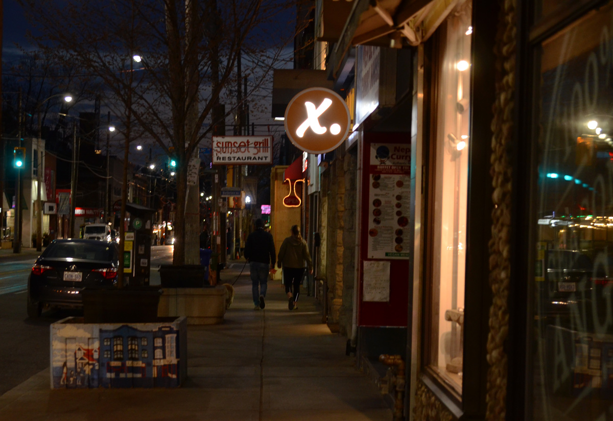
below: Looking through a store window in the Distillery District towards the intersection Parliament & Mill.
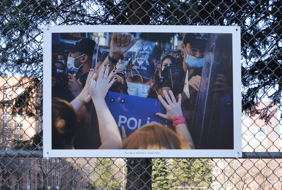
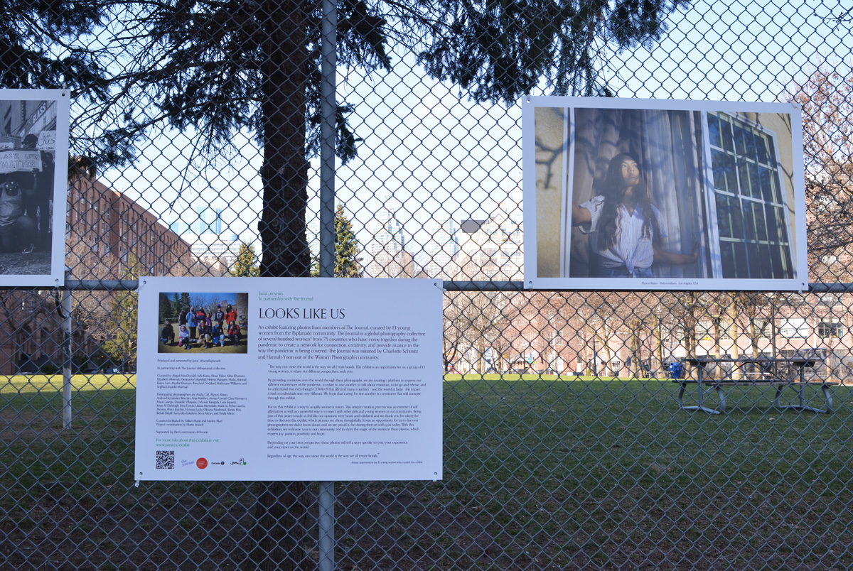
below: Photography exhibit “Looks Like Us” hanging on the fence around David Crombie Park. The exhibit was produced and presented by Jamii in partnership with The Journal.
below:: Photo by Serra Akcan, Istanbul
below: Looking northeast at Parliament and Adelaide
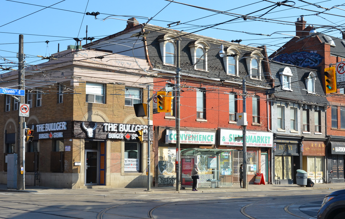
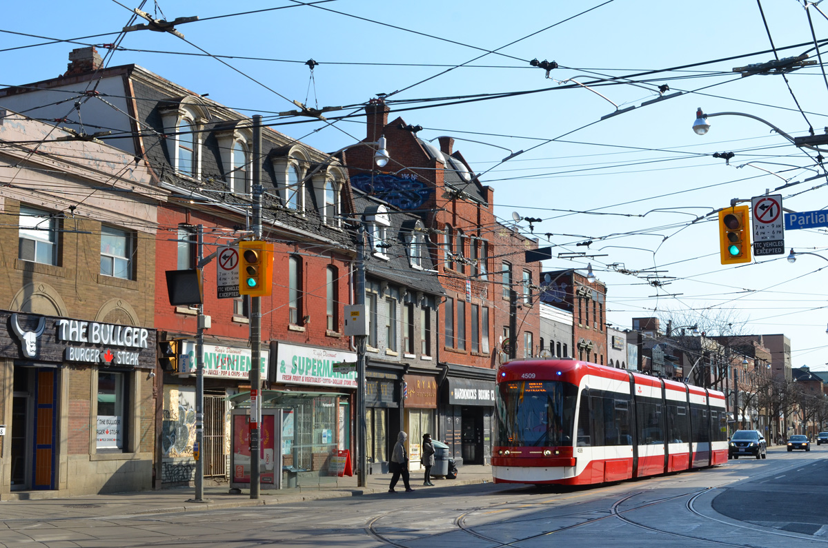
below: Parliament and Queen Street East
below: Queen Street East
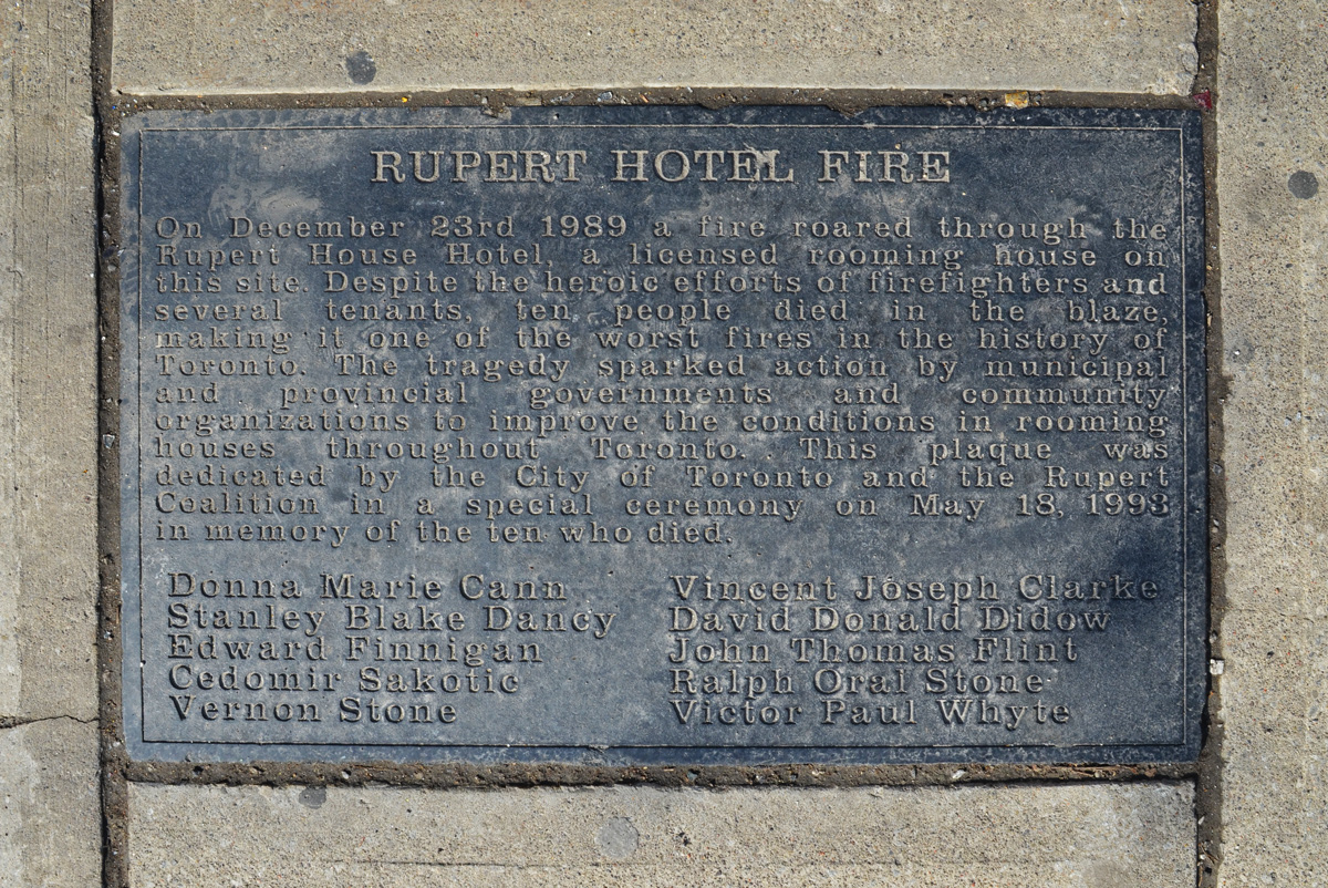
below: Embedded in the sidewalk, a memorial to those who died in the fire at the Rupert Hotel.
“Rupert Hotel Fire – On December 23rd 1989 a fire roared through the Rupert House Hotel, a licensed rooming house on this site. Despite the heroic efforts of firefighters and several tenants, ten people died in the blaze, making it one of the worst fires in the history of Toronto. The tragedy sparked action by municipal organizations to improve the conditions in rooming houses throughout Toronto. This plaque was dedicated by the City and the Rupert Coalition in a special ceremony on May 18, 1993 in memory of the ten who died: Donna Marie Cann, Stanley Blake Dancy, Edward Finnigan, Vernon Stone, Vincent Joseph Clarke, David Donald Didow, John Thomas Flint, Ralph Orel Stone, Victor Paul Whyte. ” (more…)
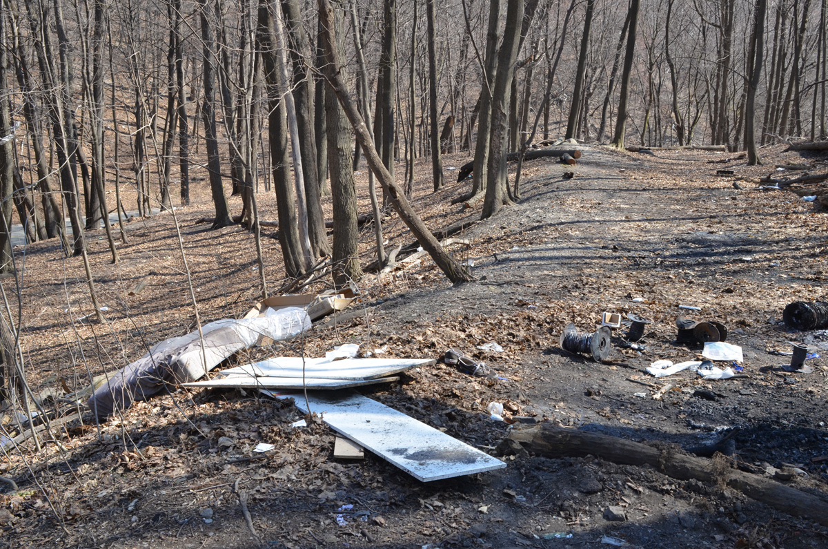
Bloor Street East passes high above Rosedale Valley Road. There is access from the southeast corner of Bloor and Parliament to a path that leads down into the valley but it doesn’t go anywhere. It doesn’t connect to any other ravine trails. These photos were taken early in April before there were leaves on the trees, and before anyone cleaned it up.
below: St. James cemetery
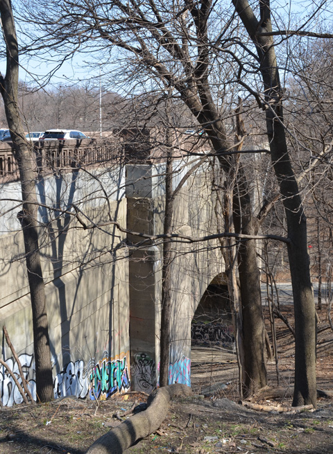
below: The covered bridge for the subway (built 1966) runs parallel.
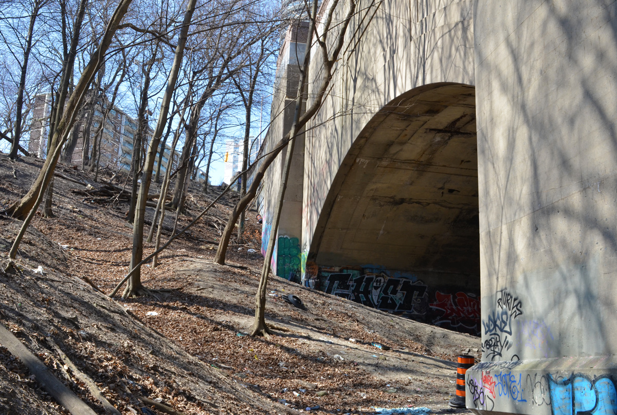
In many places in Toronto, railway lines run diagonally through the city’s grid of streets and avenues. Often, they cross the streets near intersections including at Carlaw and Gerrard East. The result is an intersection with two underpasses.
The mural on Gerrard East was updated and added to recently that I remarked on that I noted in a previous post, East on the 506. Kirsten McCrea was the artist.
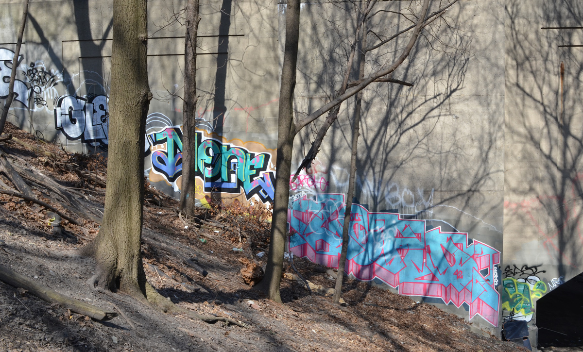
below: The southeast corner of Gerrard and Carlaw is angled. In “East on the 506” I described the art on this wall as: “In the center of the newly painted rectangles are two grey shapes, these are originals. They are part of a 1996 installation by Dereck Revington called ‘Blue Fire’. There is still a plaque that describes these aluminum pieces as “a constellation of five paired aluminum fragments etched with traces of a poem by Robin Blaser and suspended from the entrances to the underpass”.
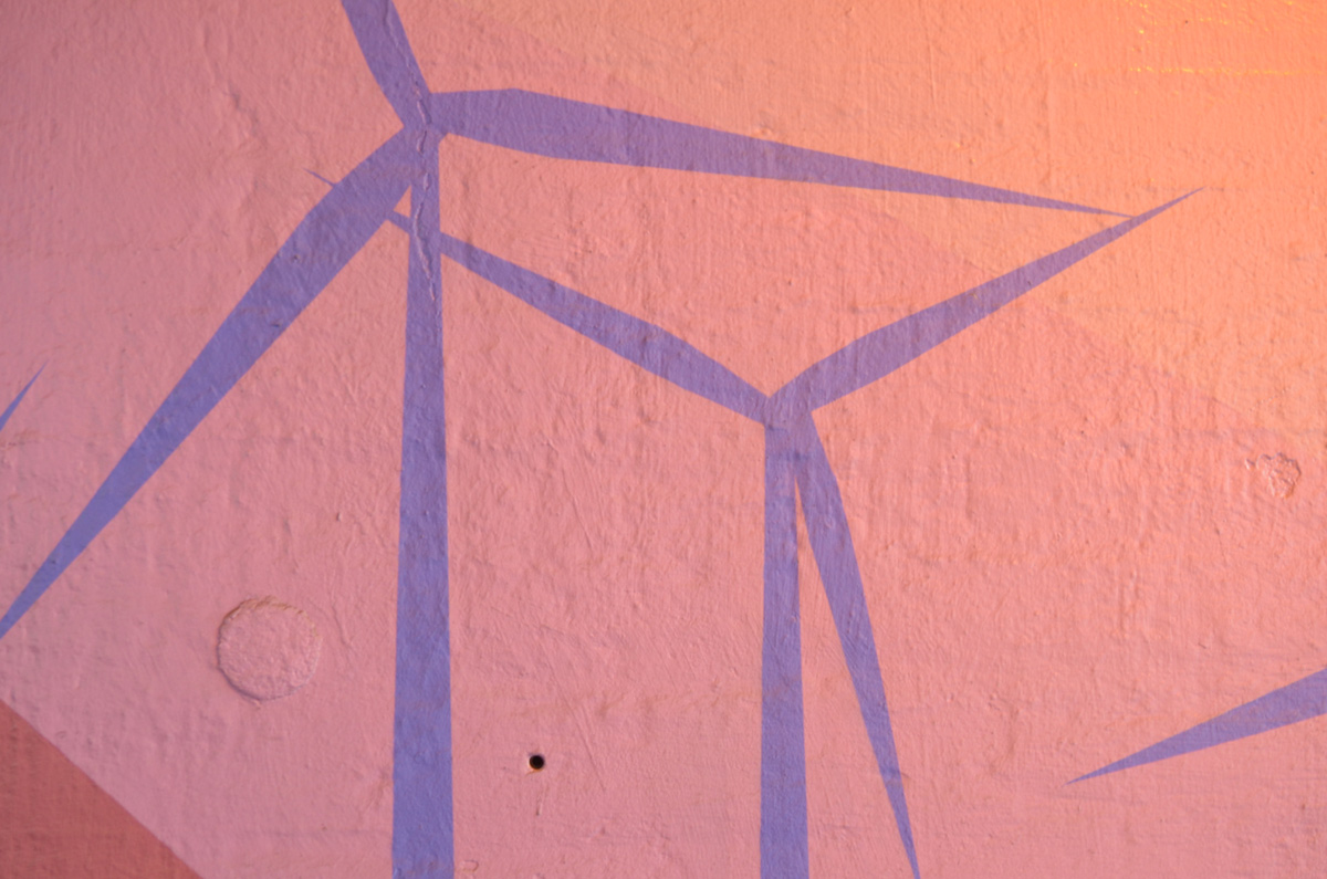
The overpass on the Carlaw side has now been painted too. The following pictures were taken back in November.
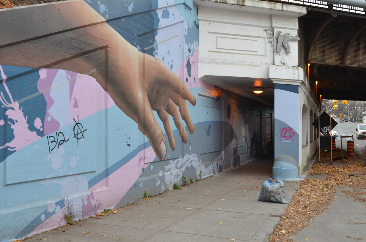
below: Hands beckon and point the way under the railway tracks on the west side of Carlaw, from the north
below: And from the south
below: Under the bridge
below: A blue octopus in the water
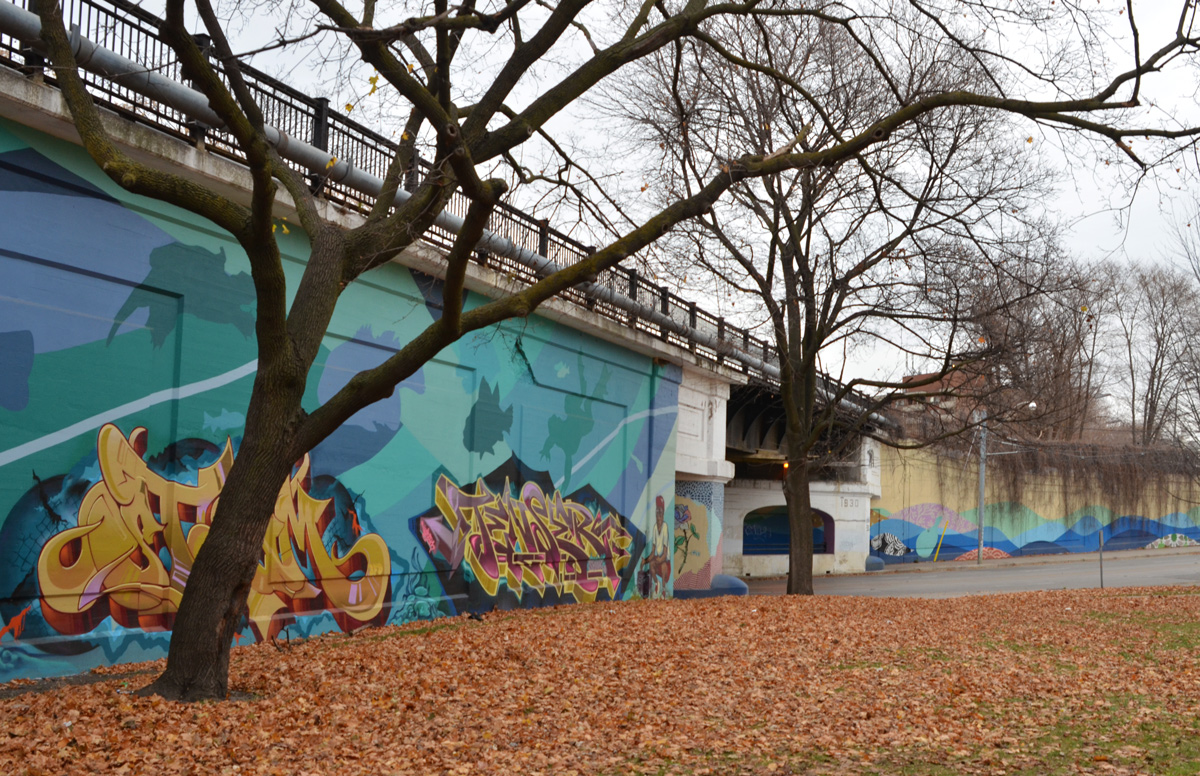
At the southeast corner of Gerrard and Carlaw there is a small park. The retaining wall of the railway tracks marks one of the boundaries of the park and is continuous with the walls of the underpasses. It too was painted by Ryan Smeeton but with the help of Elicsr, Smug, Tenser, and Steam.
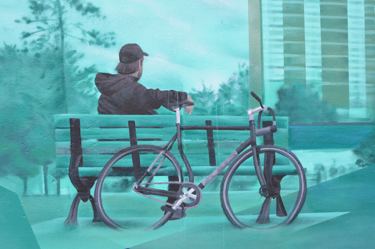
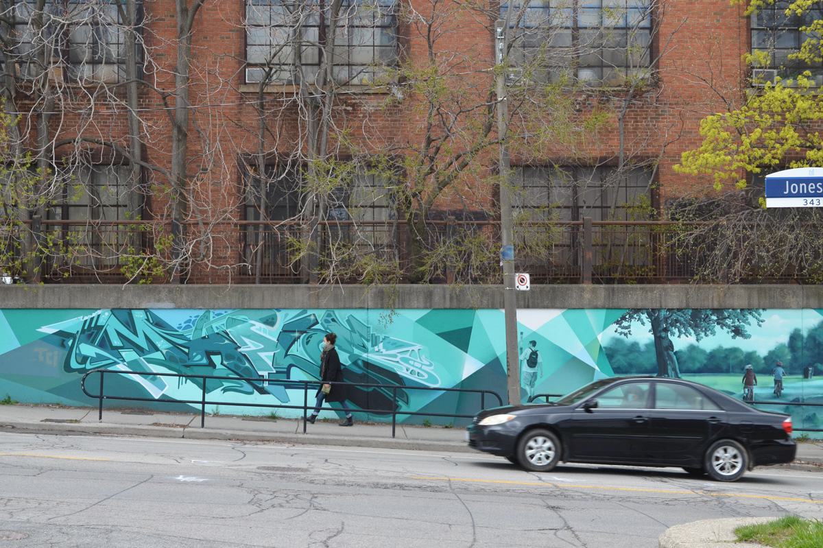
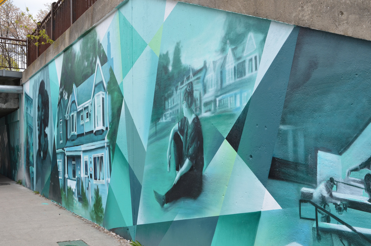
Initiated in 2017, the “Bridges to Art” program envisions murals on nine underpasses in Toronto’s east end. Several of the murals along the Carlaw-Dundas corridor have been painted including this one on Jones Avenue just north of Gerrard. It was painted by Jason Pinney and features scenes from the east end.
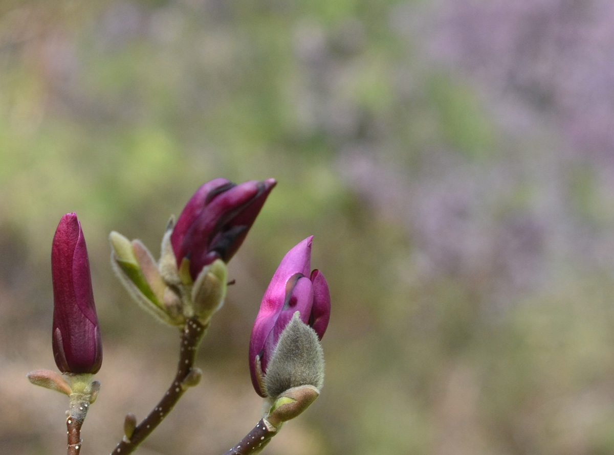
Wilket Creek forms one of the many ravines in the city. The northern part has been buried; it surfaces just south of York Mills Road and flows south until it joins the West Don just north of Eglinton. Edwards Gardens is part of the park system along the creek and that is where I met a friend the other day. It was her part of town and she was my guide for the day. The magnolia trees were at peak bloom and the fragrance of their blossoms filled the air.
below: Magnolia
below: Three magnolia buds ready to open up.
below: Other trees and shrubs were also laden with blossoms
below: Volunteers working in the Teaching Garden, preparing the beds for planting.
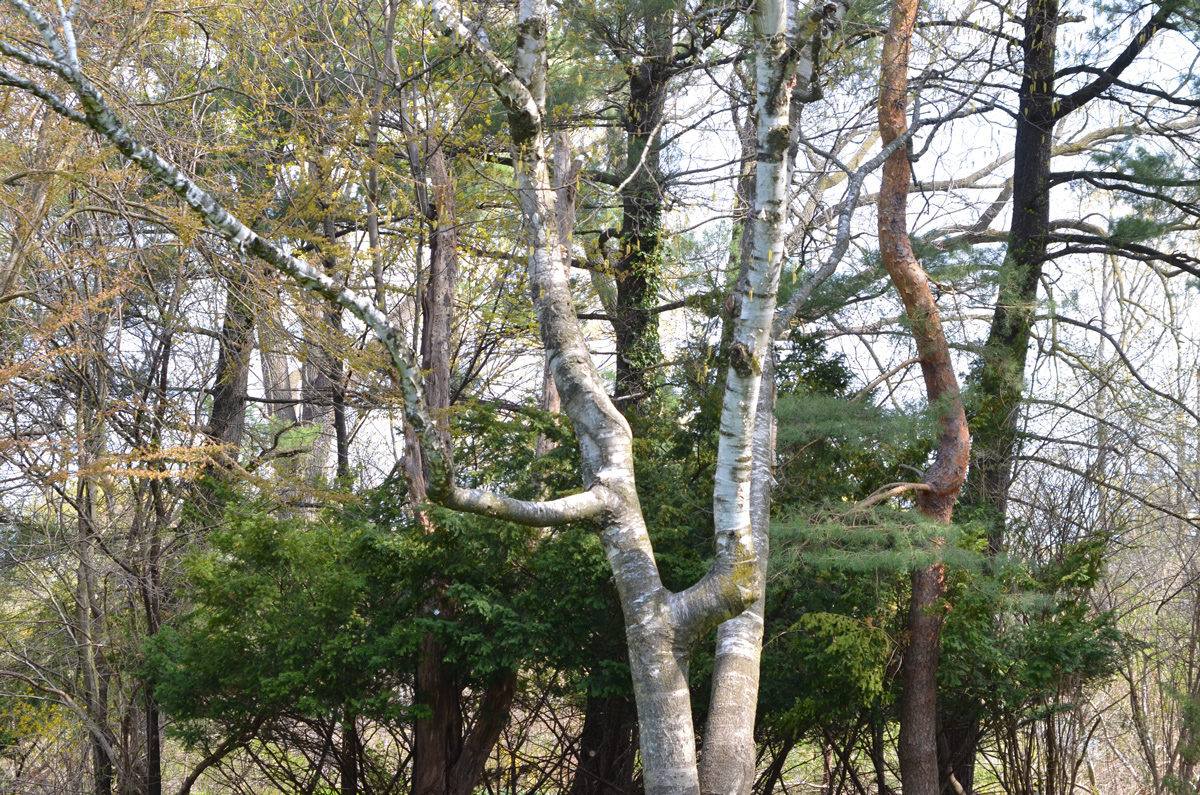
below: Some of the different types of trees that grow here – three different bark colours.
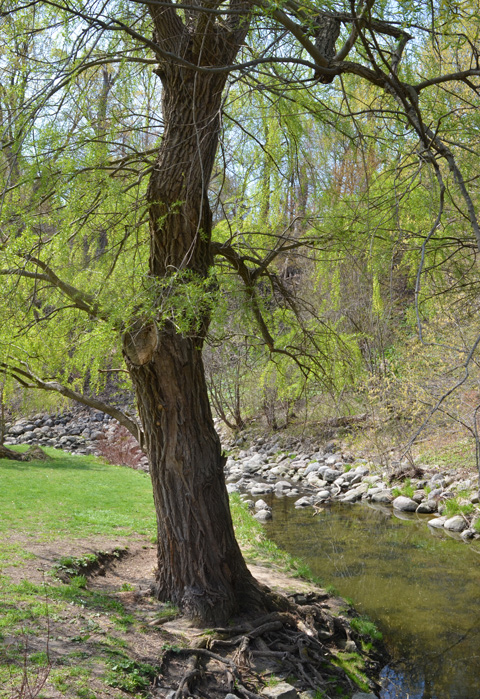
below: A willow tree by Wilket Creek
below: Dawn Redwood tree (aka Metasequoia tree)
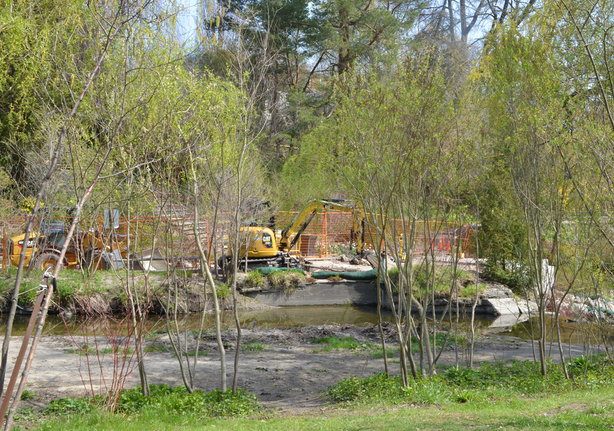
below: Parts of the gardens were closed for repairs to the banks of the creek and the path alongside it.
Walking the ravine north from Edwards Gardens is impossible – unfortunately, that stretch of the ravine is not open to the public. A gap in the system. We rejoined the creek at Windfields Park.
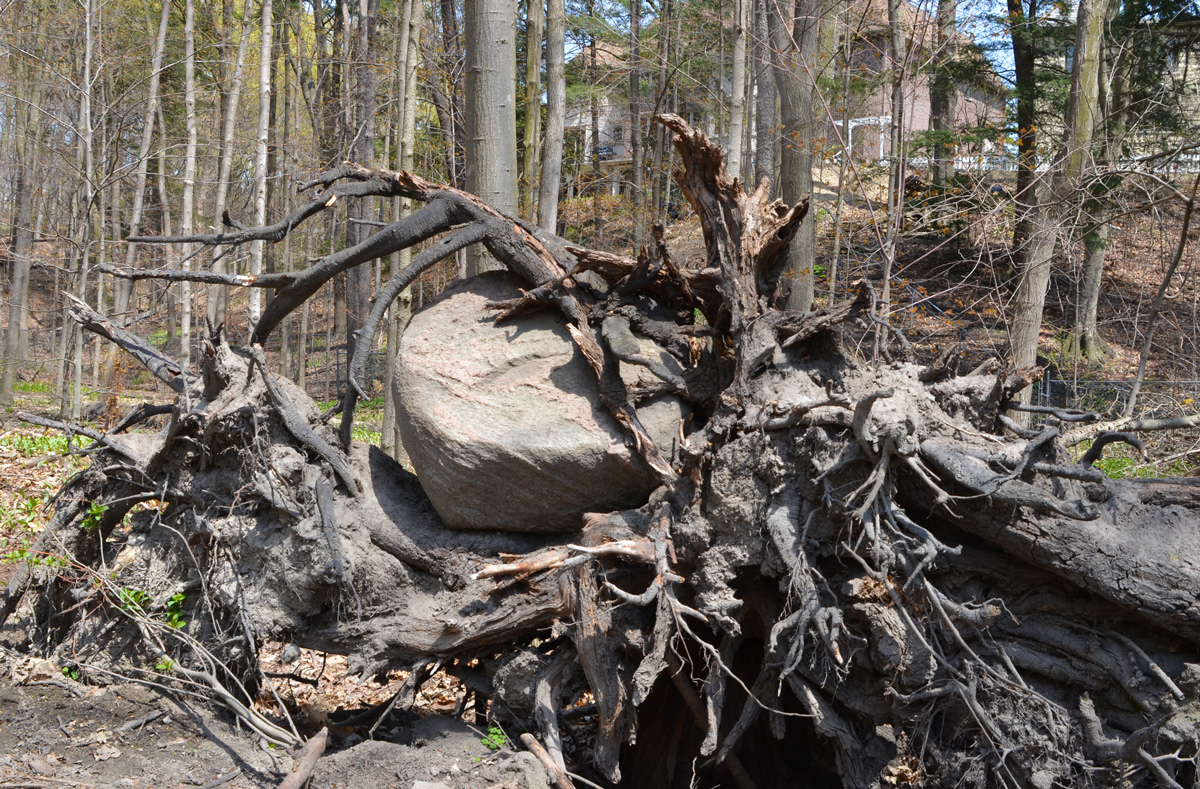
below: A rock stuck in a hard place, where rocks usually aren’t found.
below: Yellow wildflowers, Lesser Celandine which is apparently an invasive species.
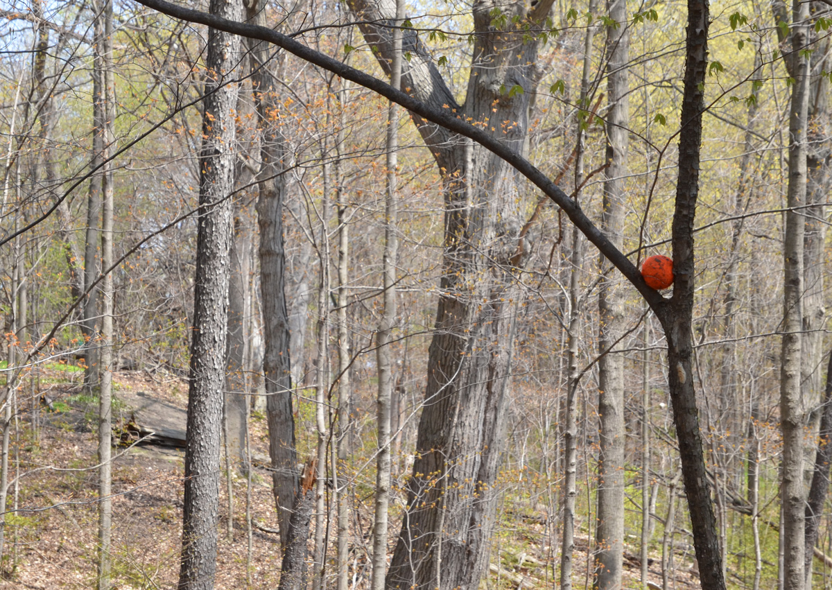
below: A tennis ball in the wild.
below: Two birch trees, probably Silver Birch because of the brown bark of the younger tree that will soon shed to reveal the white bark below.
below: Yellow trout lily. The flashy red parts hang downwards so they are hidden close to the forest floor. The flowers are difficult to spot but the mottled green and brown leaves give them away. below: Bloodroot flowers
With thanks to Iskuhi for walking with me and teaching me the names of some trees and wildflowers. … and for some playing with sunlight and shadows (because that’s what photographers do!).