A trip to Toronto Islands on a sunny spring day.
Photos and stories – an eclectic mix of history and nature that resulted from wandering around the eastern portion of the islands.
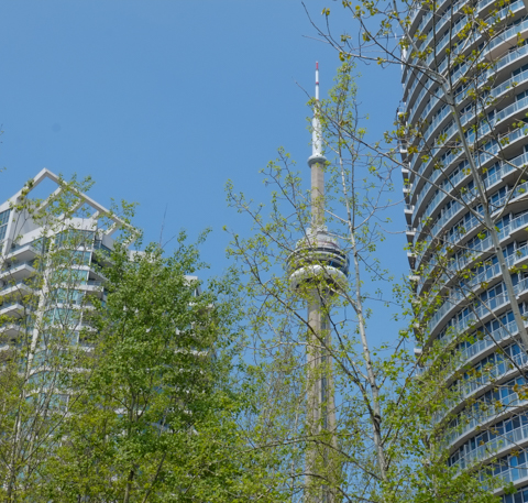
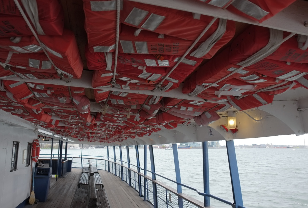
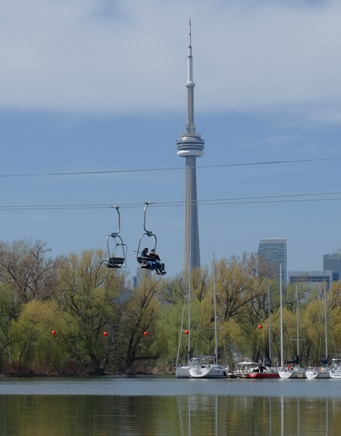
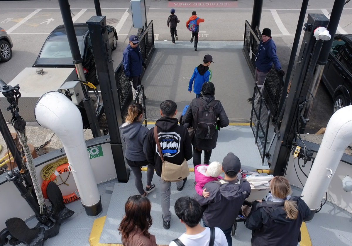
below: From the ferry, looking toward the glass and steel of the city.

Toronto Islands is a collection of at least 12 small islands. In the early years the island archipelago was really a peninsula of sandbars and ponds; it was connected to the mainland by a narrow strip of sandy shoreline. This landform was created over centuries by the action of waves, winds and lake currents – washing away portions of the Scarborough Bluffs and depositing this material to the west in a five-mile-long hooked shape. This process of natural “landscaping” continued until the spring of 1858, when a particularly powerful hurricane created a channel four to five feet deep through the peninsula. By June of that year, the Eastern Gap was a waterway, and the Toronto Islands came into being.
below: On the ferry between the city and Centre Island.

The first buildings on the islands were the Blockhouse Bay garrison built in the 1794 by the British at Gibraltar Point – it included a blockhouse and storage structures. A second blockhouse and a guard house were built soon after, only to be destroyed by the Americans in the Battle of York in April 1813. The lighthouse at Gibraltar Point built in 1809 still stands (sorry, no photo).
In 1833 Michael O’Connor built a hotel on one the islands. He used a horse-drawn boat to ferry customers across from the mainland to his hotel. At that time, there was still access by road but it was a toll road. In 1836 it cost sixpence for every four-wheeled carriage drawn by two horses. Smaller ‘vehicles’ paid less. In 1858 the hotel (now Quinns Hotel) was destroyed during the same hurricane that turned the peninsula into an island. The hotels were destroyed but the islands remained popular. With no road access, ferries were needed and many people ran private ferry services until they were bought out or amalgamated into the Toronto Ferry Company in 1892. It was privately owned until 1926 when it was purchased by the City of Toronto for $337,500.


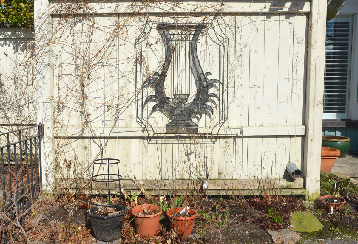
Many houses and businesses, (hotels, restaurants, bowling alley, laundry, theatre etc) were established over the years from Hanlon’s Point in the west to Wards Island in the east. Today, residences are only in the eastern section of Wards Island and on Algonquin Island.
The Ward’s Island community began in the 1880s as a settlement of tents. Up until then, that eastern end of the islands was mostly wetlands. The first summer colony on Ward’s in 1899 consisted of just eight tenants, each of whom had paid a fee of $10 rent for the season. The number of tents grew each year. In 1913, the city felt it necessary to organize the community into streets. The evolution from tents to cottage structures progressed in stages with the building of floors, the addition of kitchens and then porches, resulting in the creation of the homes.


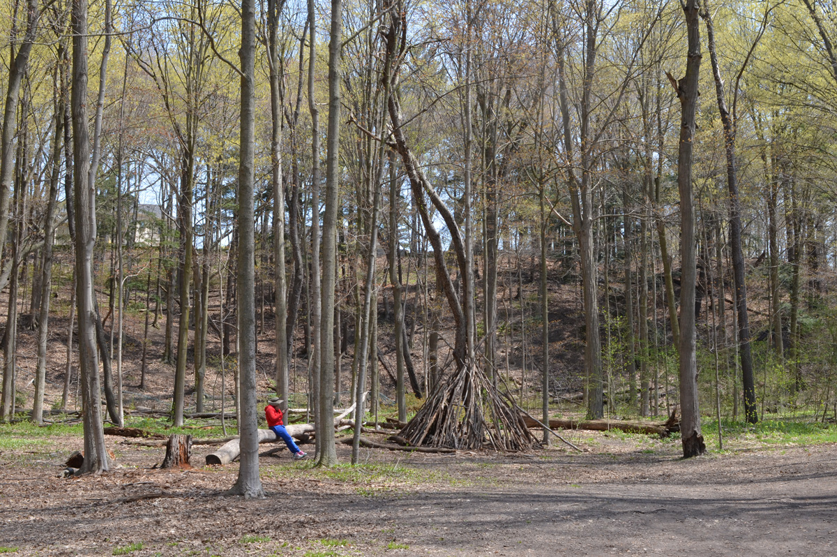
In 1953 the municipal government changed their policy toward the Toronto Islands landscape and its residents. Businesses were removed and the systematic demolition and burning of homes began. More of the islands became parkland. There are 262 houses on Wards and Algonquin Islands today, down from about 630 residences on all the islands. The last of the Lakeshore houses was removed in 1968 but traces of them still remain.

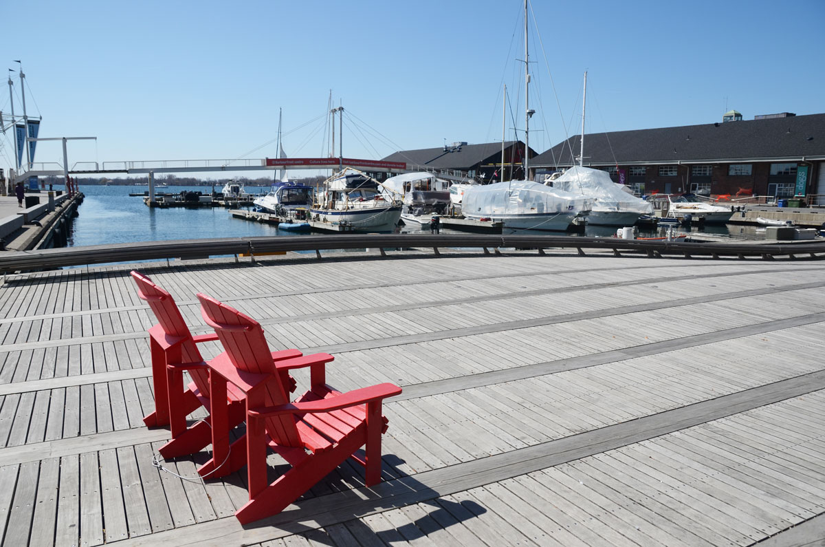
below: The pier on the Lake Ontario side.

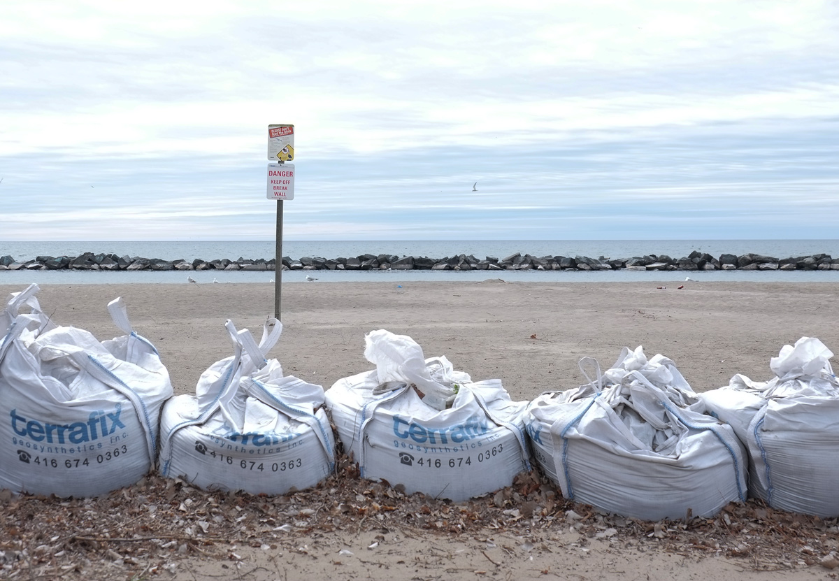
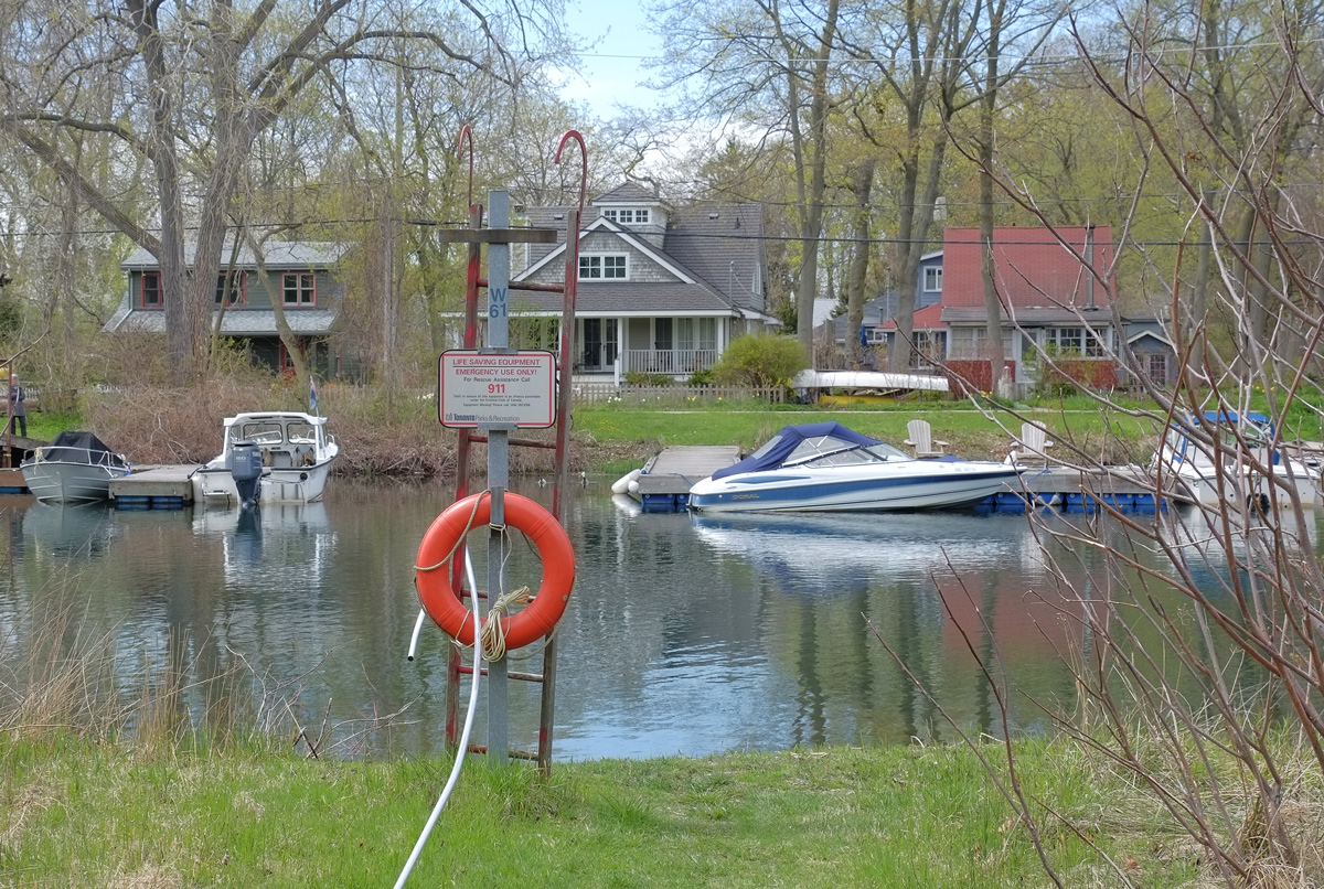
below: Sandbags along the shore. Last spring there was a lot of flooding here and the island was closed to visitors – sort of. Ferries didn’t run and the park facilities were closed. The islands are very flat and low so it doesn’t take much extra water to flood.


below: There is a small amusement park, Centreville, on Centre Island.

below: Island transport that can be rented if you don’t want to walk.


below: Boats moored QCYC (Queen City Yacht Club), one of the three yacht clubs on the islands.

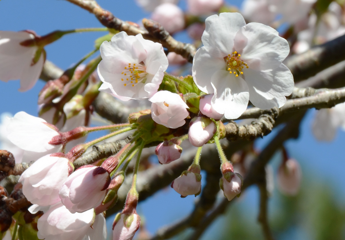
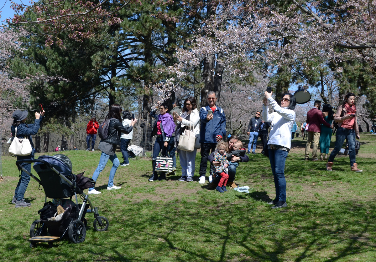
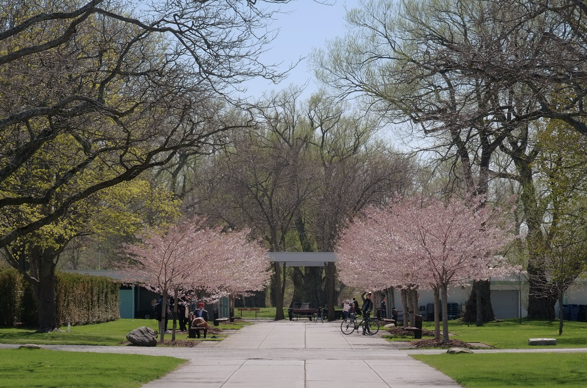
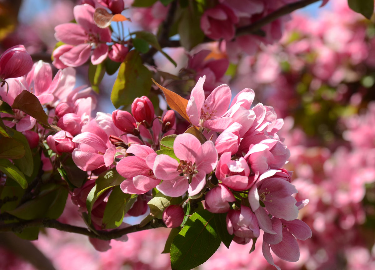
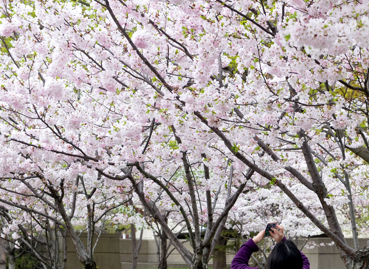
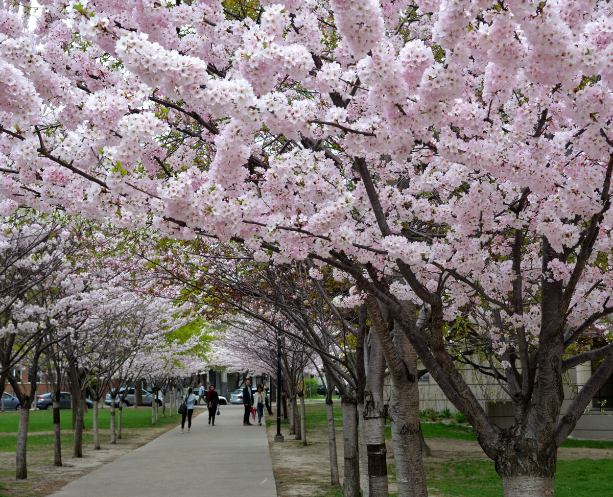
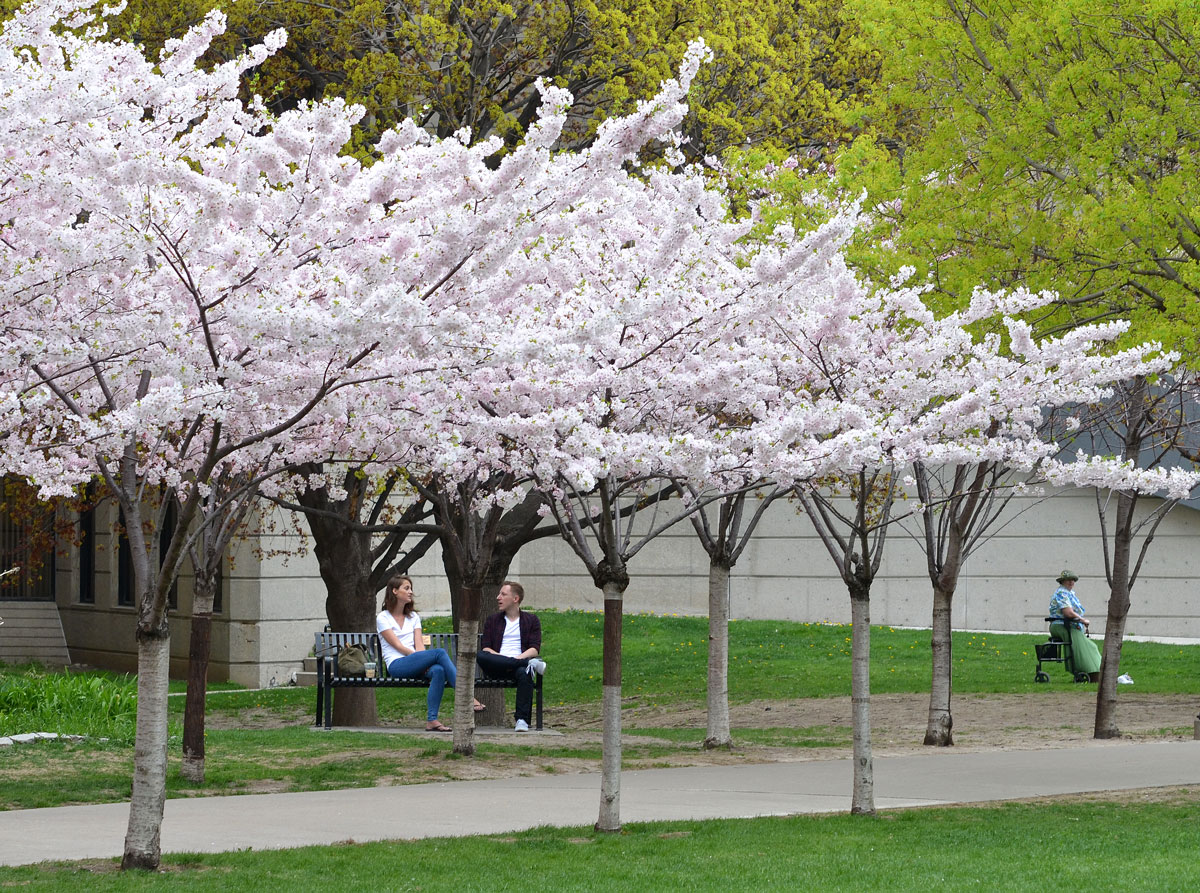
below: Sakura trees in bloom. The trees were donated by the Sakura Project. The aim of this project was to strengthen Japanese Canadian relations by planting cherry trees in visible locations across Ontario. Between 2000 and 2012, 3,082 trees were planted at 58 locations. The trees on Centre Island were planted in 2011.

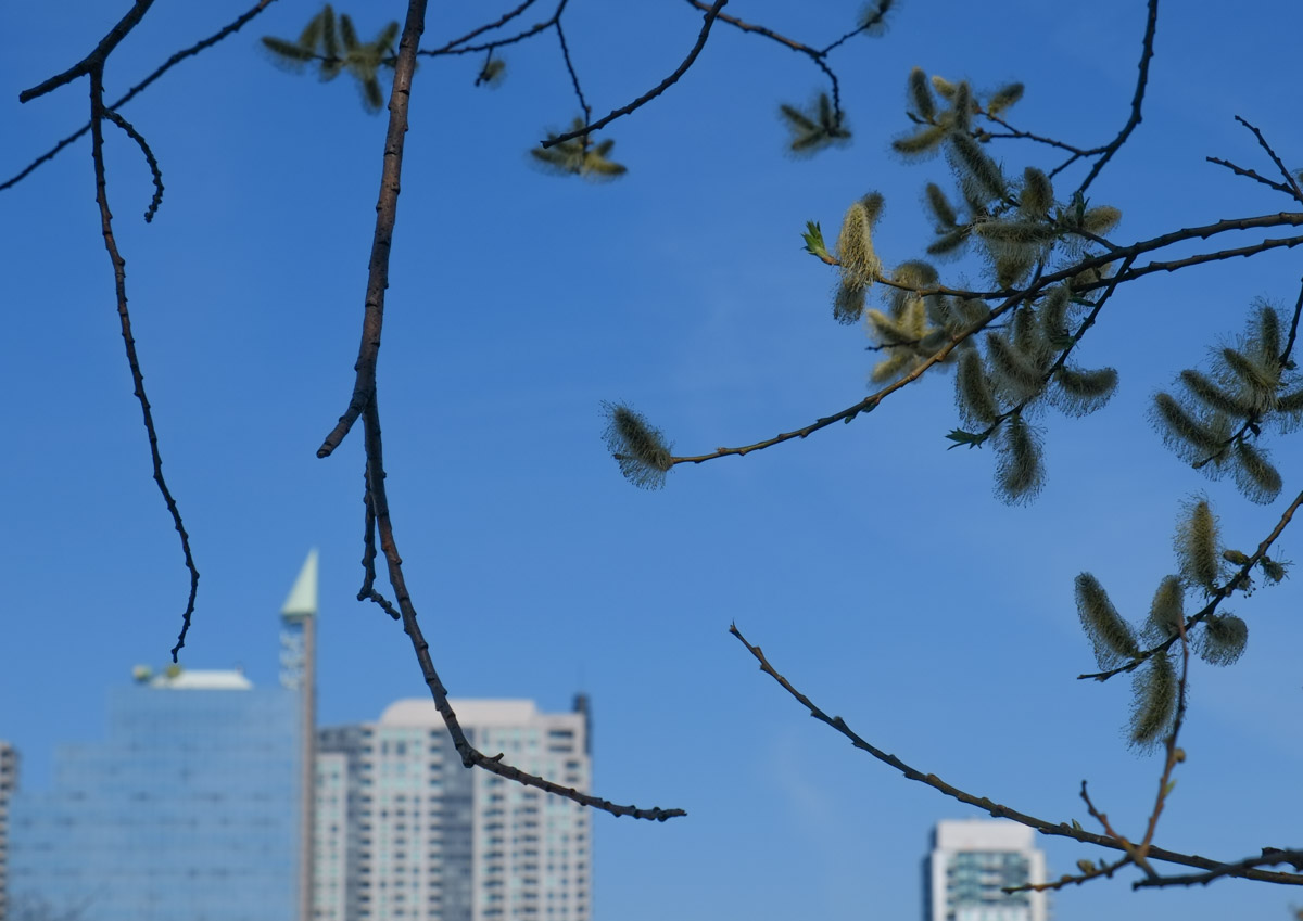
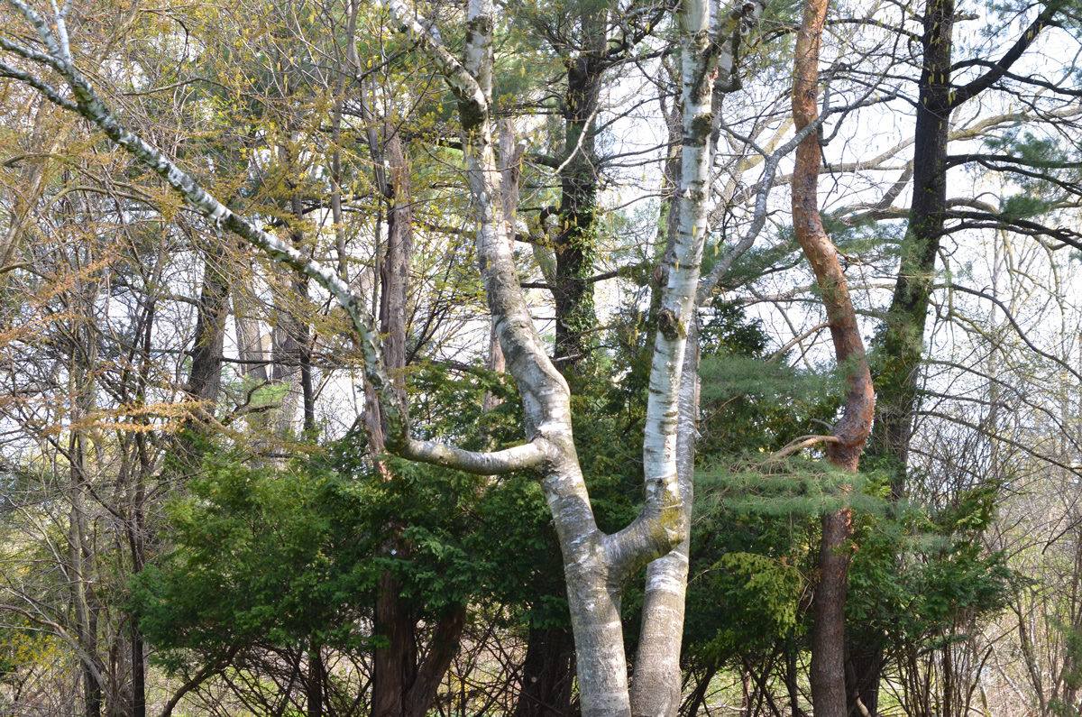
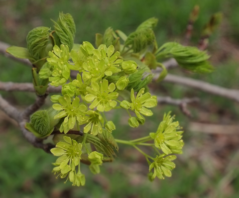
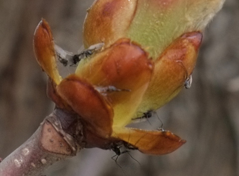
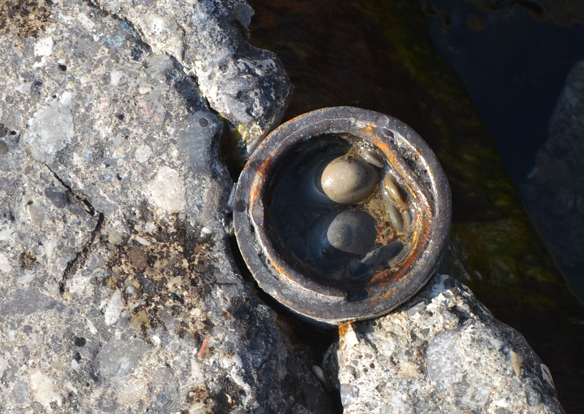
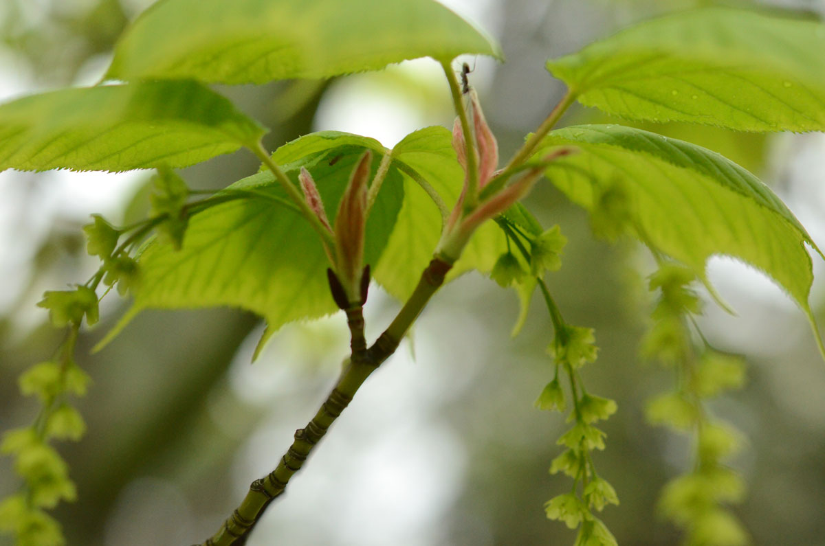
below: Catkins from a red alder tree. They almost look like raspberries packed tight together.


below: An early family of Canada geese.

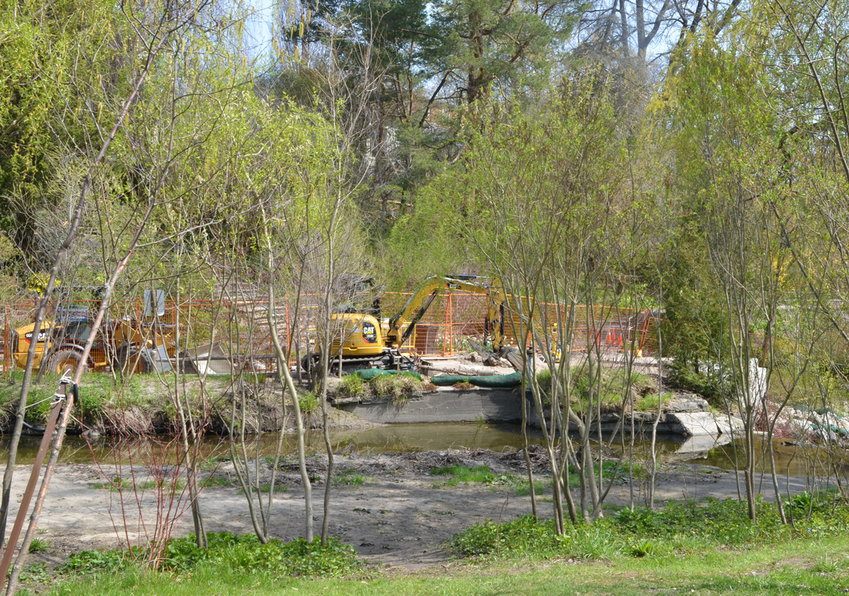
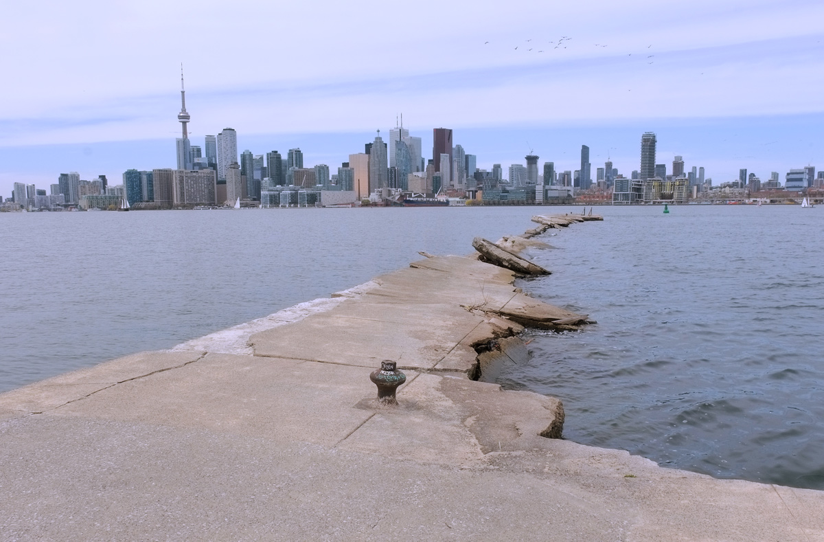
below: The pier at the eastern end of Wards Island is bad need of repair. To the right is the entry into the Eastern Channel (or Eastern Gap).

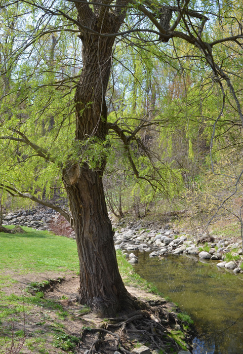
below: Looking over to Algonquin Island. Once upon a time this island was just a sandbar.


and back to the mainland.