


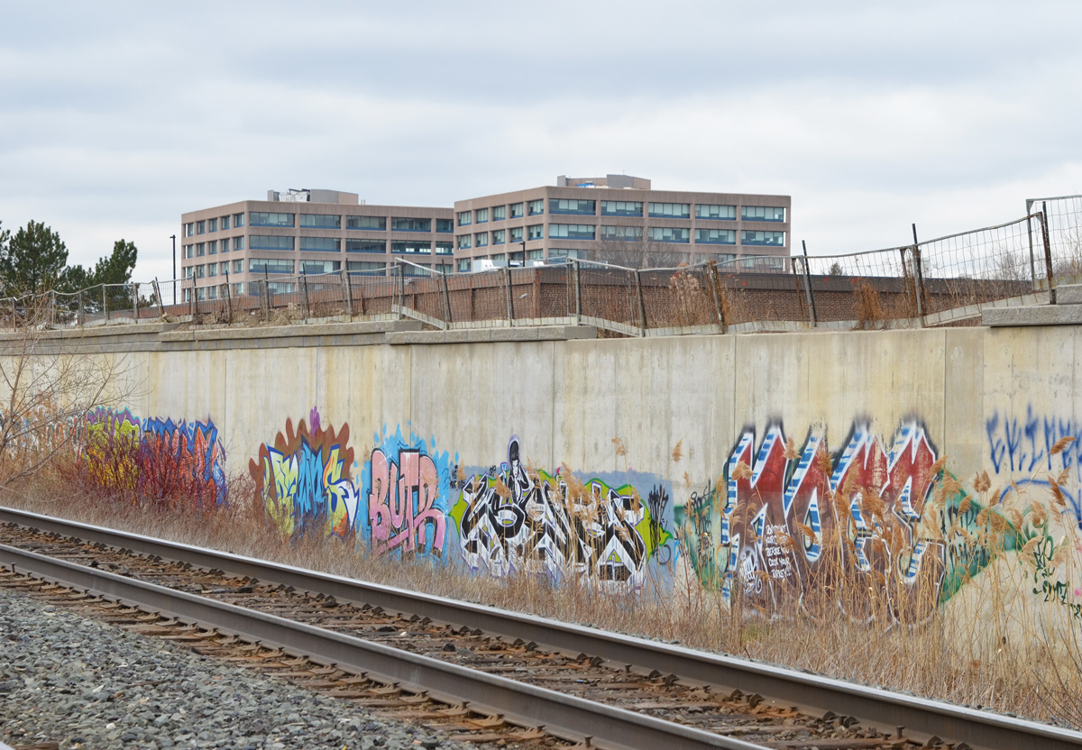
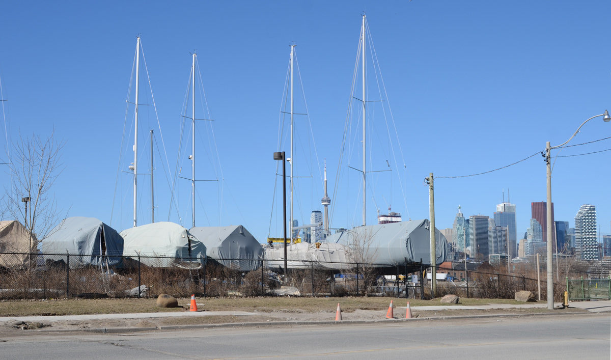
The Great Pause, March 2020 (and then April…. and now into May)


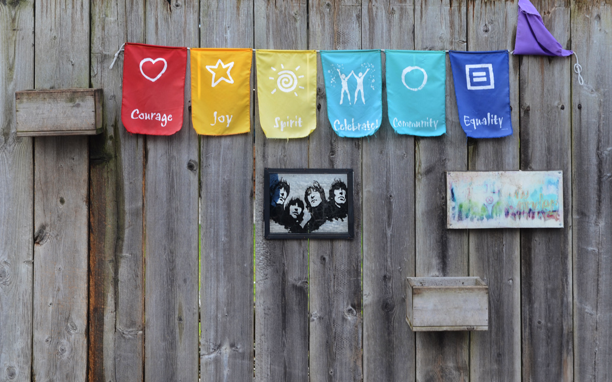
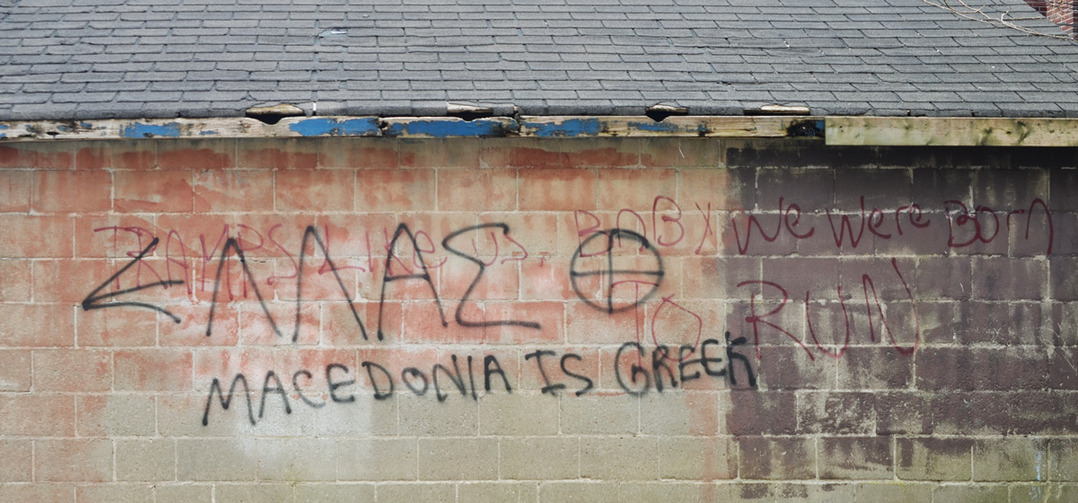
below: Courage, joy, spirit, celebrate, community, equality, and one that has flipped over.
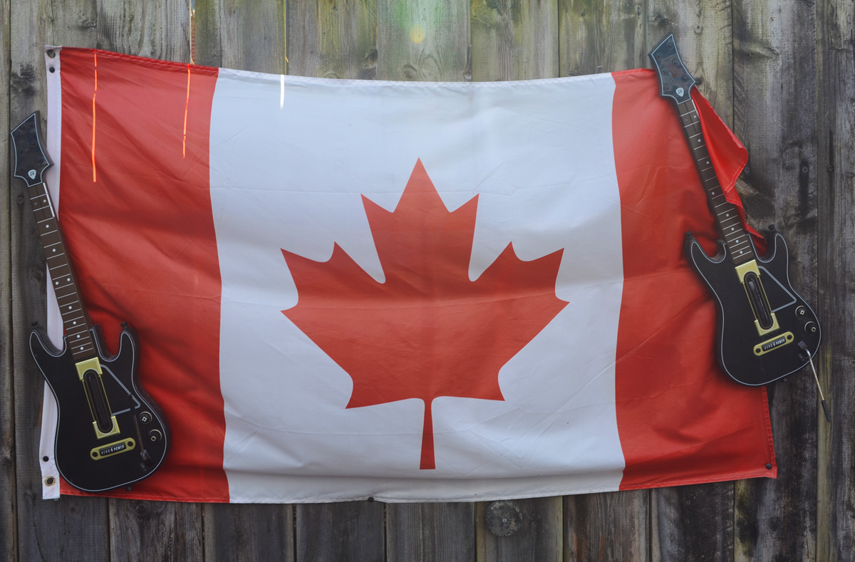
below: All you need is love.


below: What to do when spring seems so far away….

The Great Pause, March 2020 (and then April…. and now into May)
below: Courage, joy, spirit, celebrate, community, equality, and one that has flipped over.
below: All you need is love.
below: What to do when spring seems so far away….
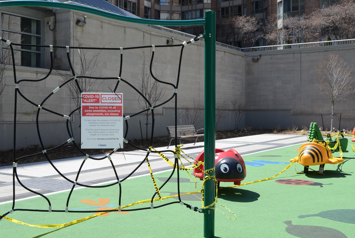
below: A lonely ladybug and bumblebee await the return of the kids. Playgrounds still closed because of Covid-19.
below: Barriers around the pool in front of the Toronto 3D sign at Nathan Phillips Square. A perfect spot for a quiet picnic.


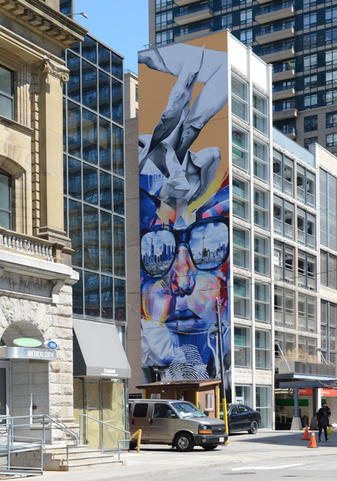
below: New mural on Charles Street – painted September 2019, by Justus Becker (from Frankfurt Germany) as part of the 2019 StART mural exchange program. One lens of the glasses is reflecting Toronto while the other lens mirrors Frankfurt.
below: Behind College Park (777 Bay Street)


below: If plants die on city property and no one is there to notice, does it really matter?

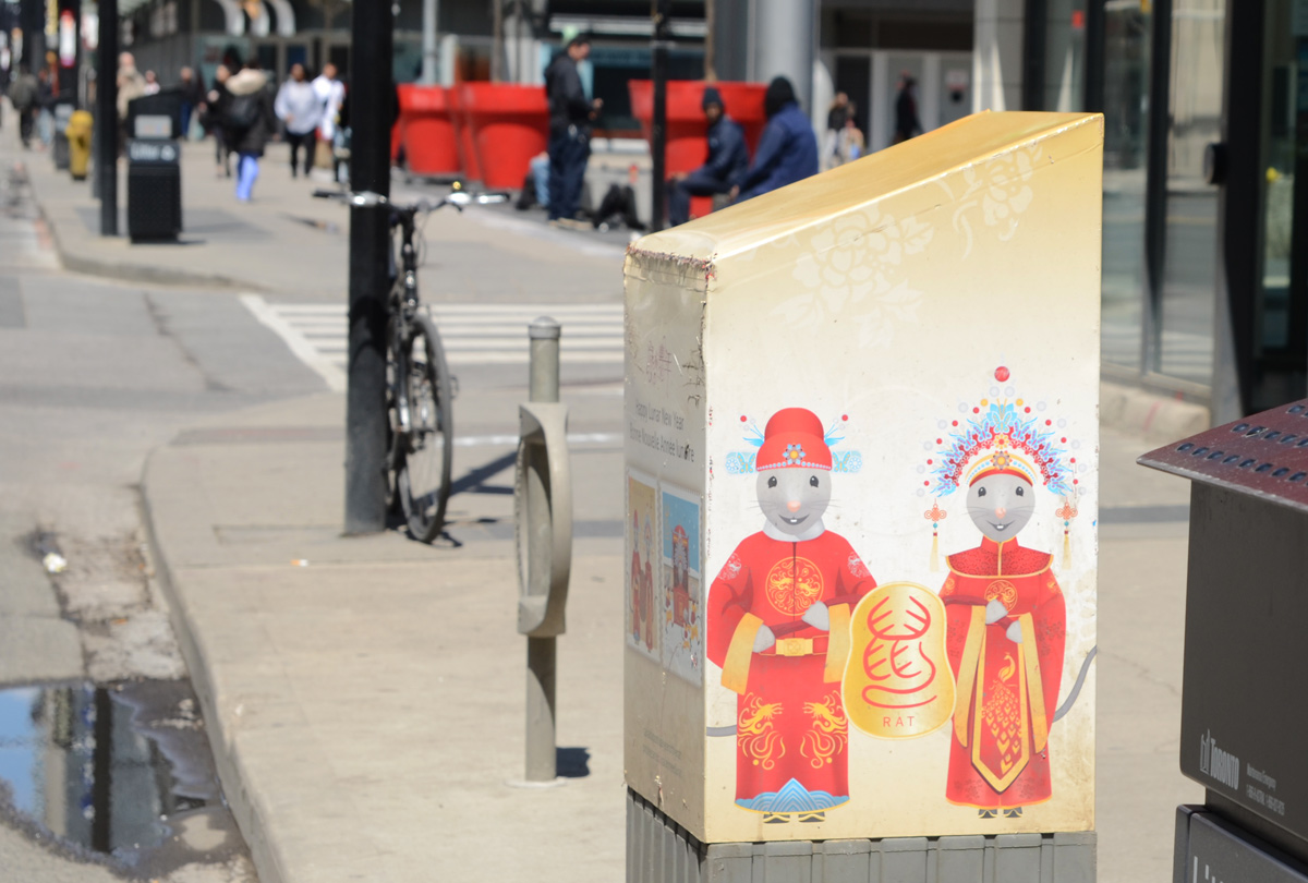
below: Two big rats anthropomorphized into a cute little Chinese couple on a Canada Post box. They appear on some of the stamps issued by the post office in honour of the Year of the Rat. The rat is the first of the 12 animals in the 12 year cycle of the old Chinese calendar. The rat also represents the hours of 11 p.m. to 1 a.m., in other words, both midnight and the beginning of a new day. Perhaps we are approaching midnight and our new day is just around the corner?
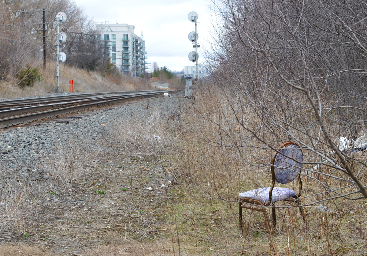
below: Is this seat taken?
below: Who can resist Unicorn Beauty?

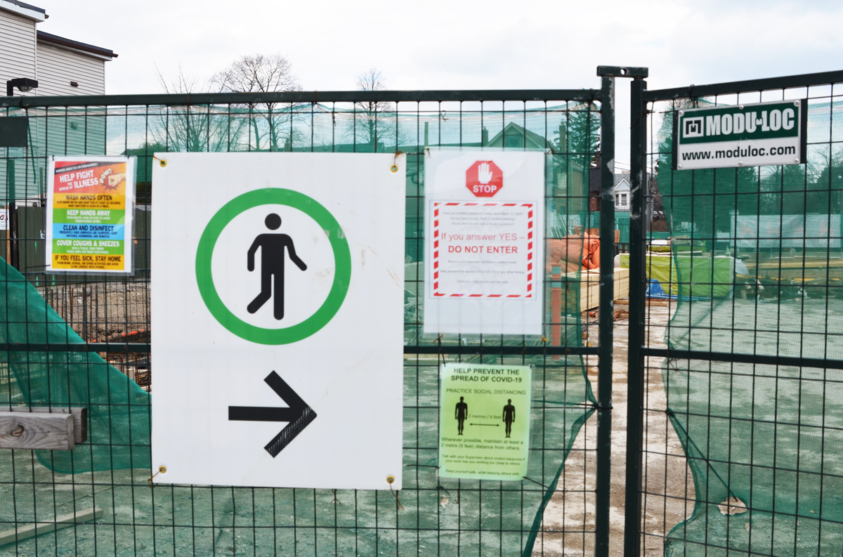
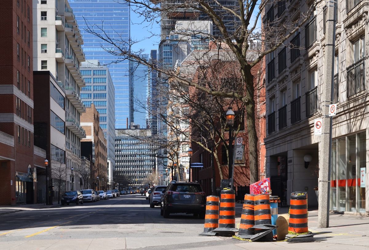
Social distancing can be challenge even when most people are staying home. The way that the city and construction sites manage the sidewalks downtown barely worked before. Now, the confinement of the sidewalk space makes it impossible for two people to pass and still comply with safety guidelines. With some awareness, along with the ability to walk on the streets, it is possible to give everyone ample room. There is a debate going on about whether or not to close some streets, or at least close some lanes to traffic, to provide more space for walkers. Those on the “no” side such as the Toronto Public Health, claim that it just encourages more people to be out when they should be at home; it undermines “directives against people congregating in groups”.
More recently, a program called CurbTO has begun whereby some curb lanes are opened to either pedestrians or to parking for curbside pickup from stores. But even here, it’s not necessarily for walkers, but for people lining up to get into stores. It’s going to be a very different situation once pedestrian and traffic levels start to return to what they were in the old days and there are going to have been some infrastructure adaptations.
below: Navigating the sidewalks while still complying with what governments and health officials are suggesting. Note the poster on the wall “We are all in this together”.

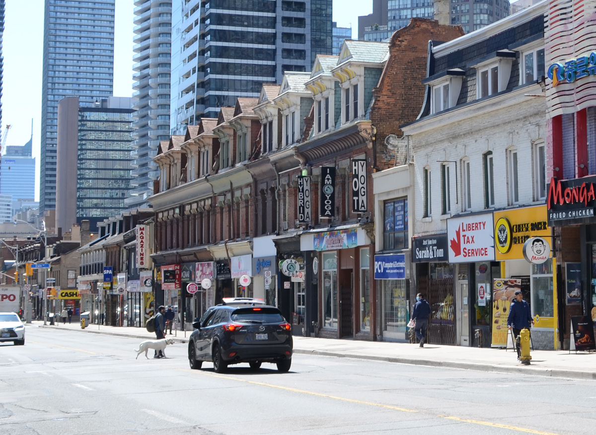
below: It’s not often that traffic stops on Yonge Street for pedestrians and their pets.
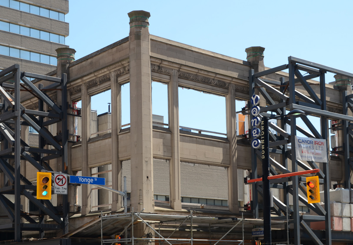
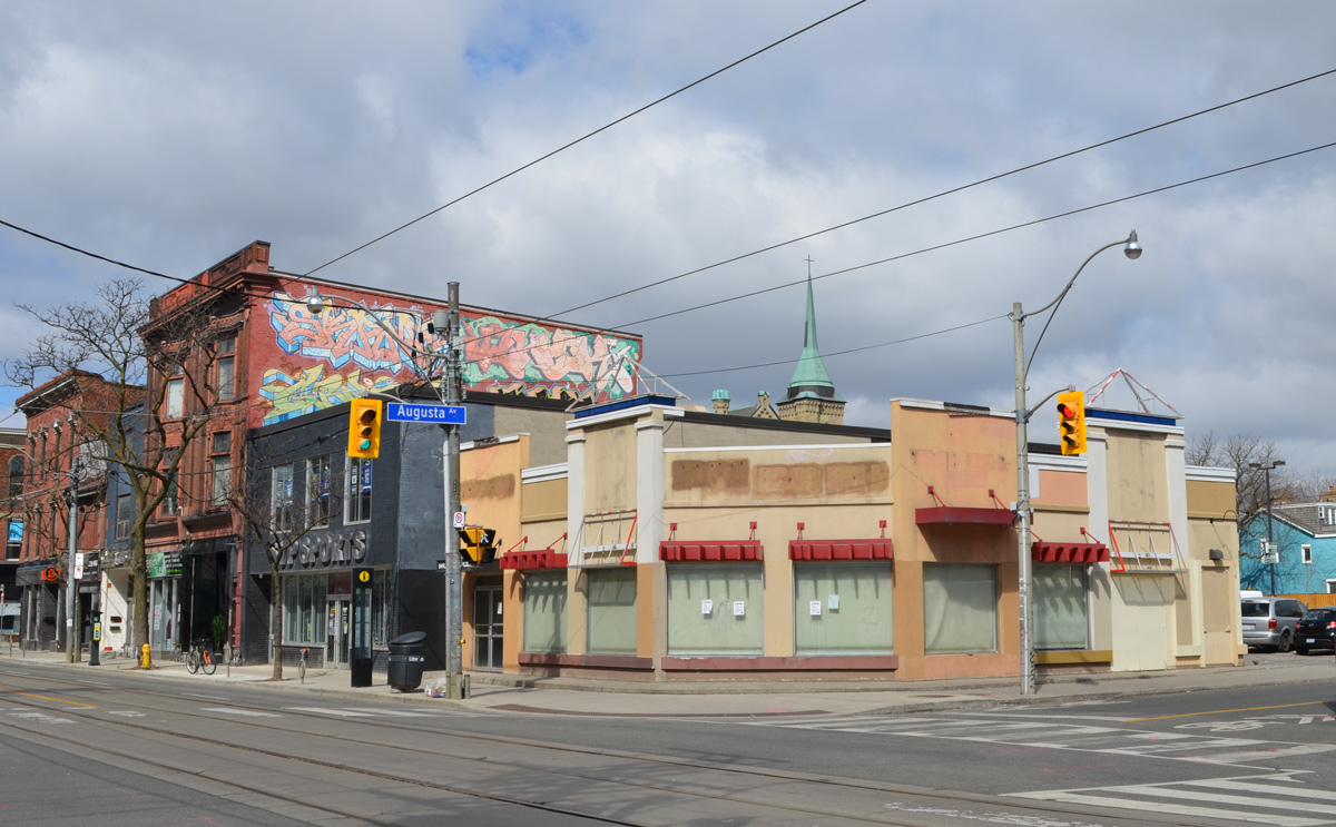
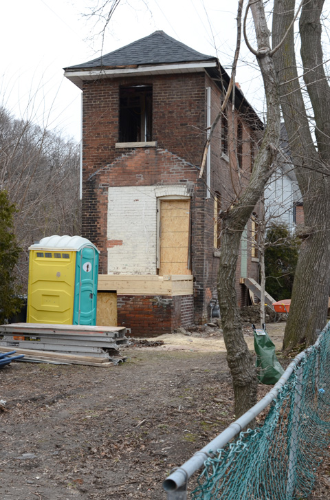
below: On the southeast corner of Yonge and Gerrard, the facade of an old building is being preserved.

below: Brick and roofline details.
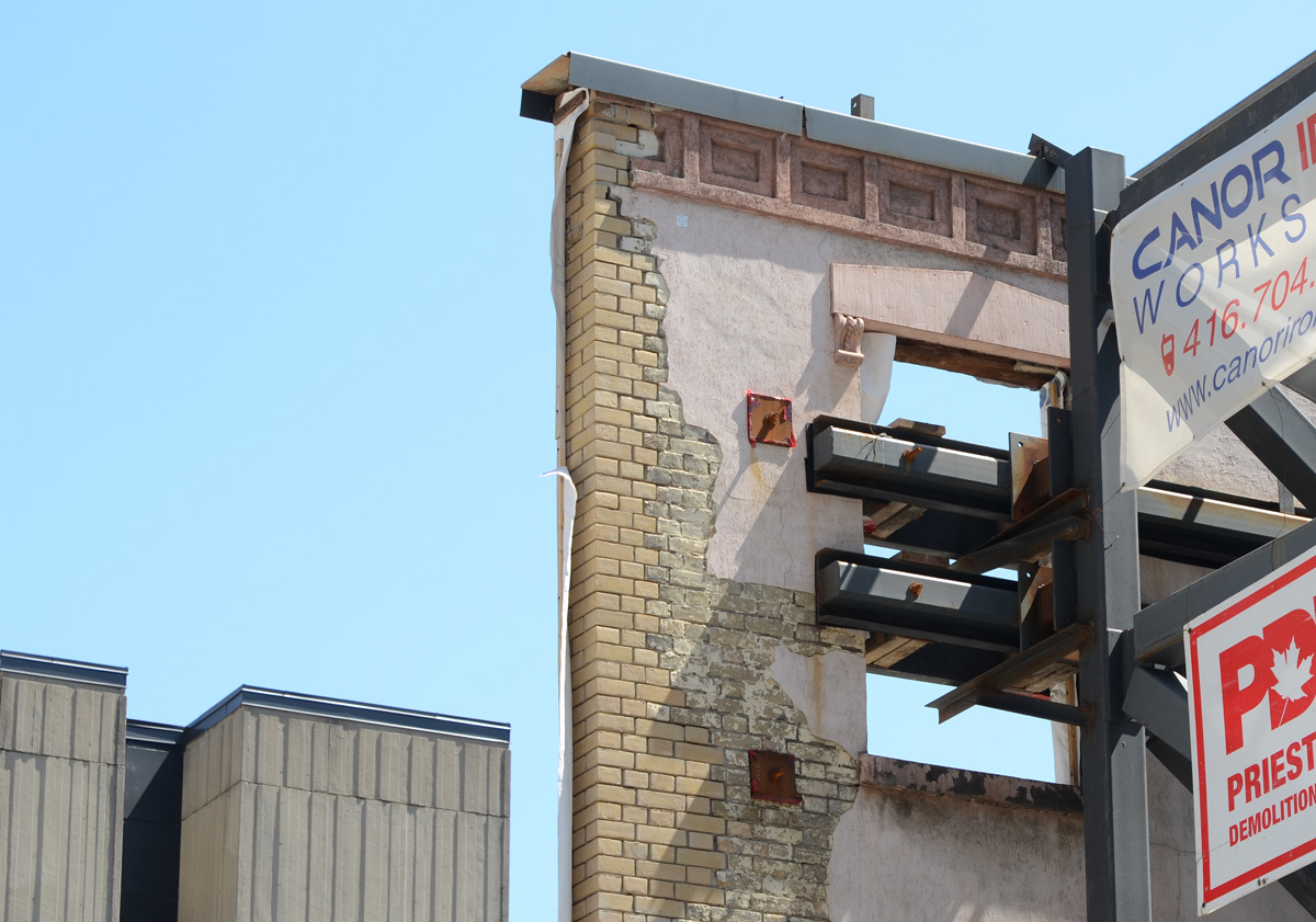
below: I was impressed by the engineering that is involved in keeping these old facades intact while the interior is gutted.
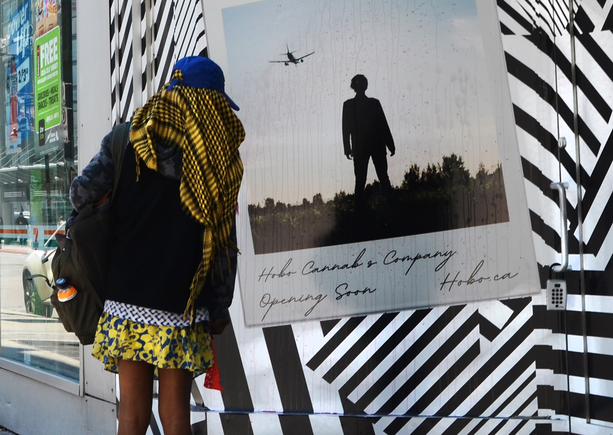
below: Talking to the polaroid guy.
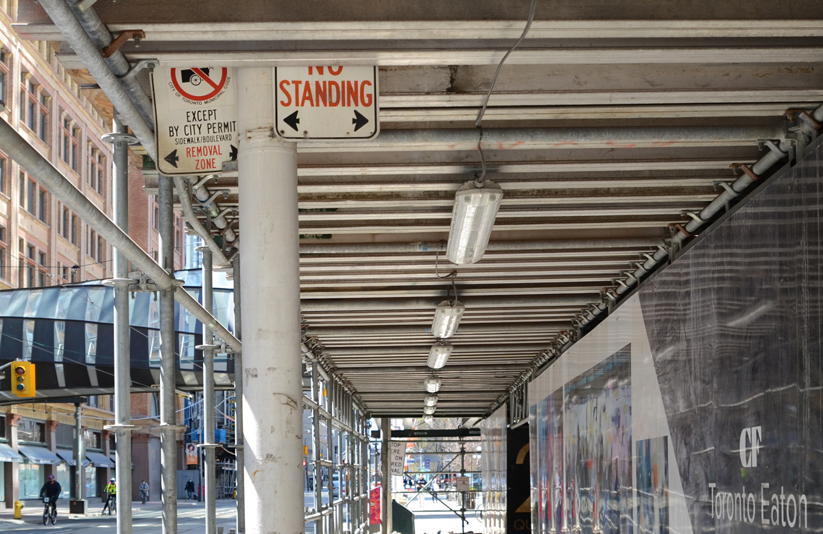
below: No standing takes on a new meaning
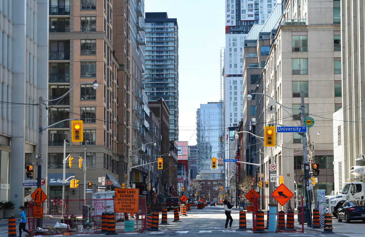
below: Looking south on Bay Street from Queen.

below: Richmond Street construction, west of University Avenue.
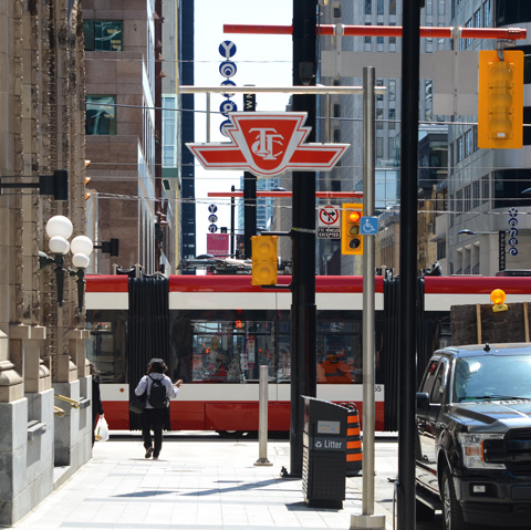
This was my first time on the subway since mid-March. There were very few people there so it was easy avoiding them but once again, safely re-opening a city is not going to be easy. The packed buses and subways are going to be problematic.
below: Only some subway seats can be occupied.

Most people are still staying home or at least close to home. You’re still not going to see many people in my photos because I am still avoiding them, still walking in quieter places. Sometimes those places happen to be streets that once upon a time (only a month ago?) were busy.
below: An empty parking lot.
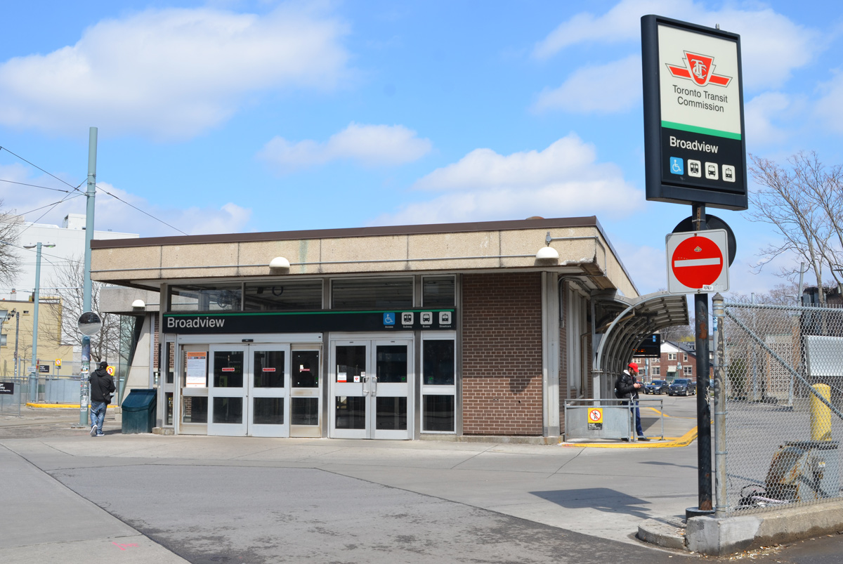
below: A very quiet Broadview subway station.
below: A very tall and lanky animal on a pole. It’s missing a leg or two.

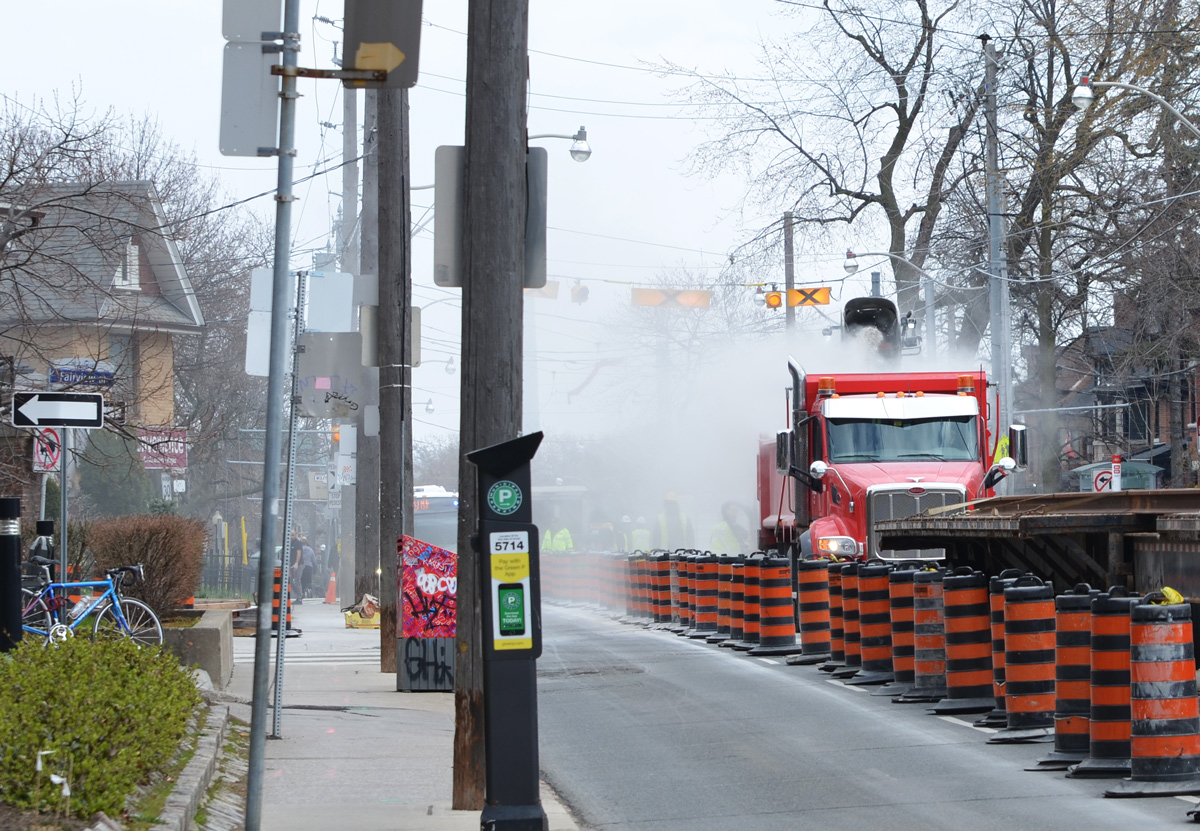
below: The TTC streetcar tracks in the middle of being replaced, on Broadview just south of Danforth.
below: More TTC construction, this time another access to Chester station is being built.
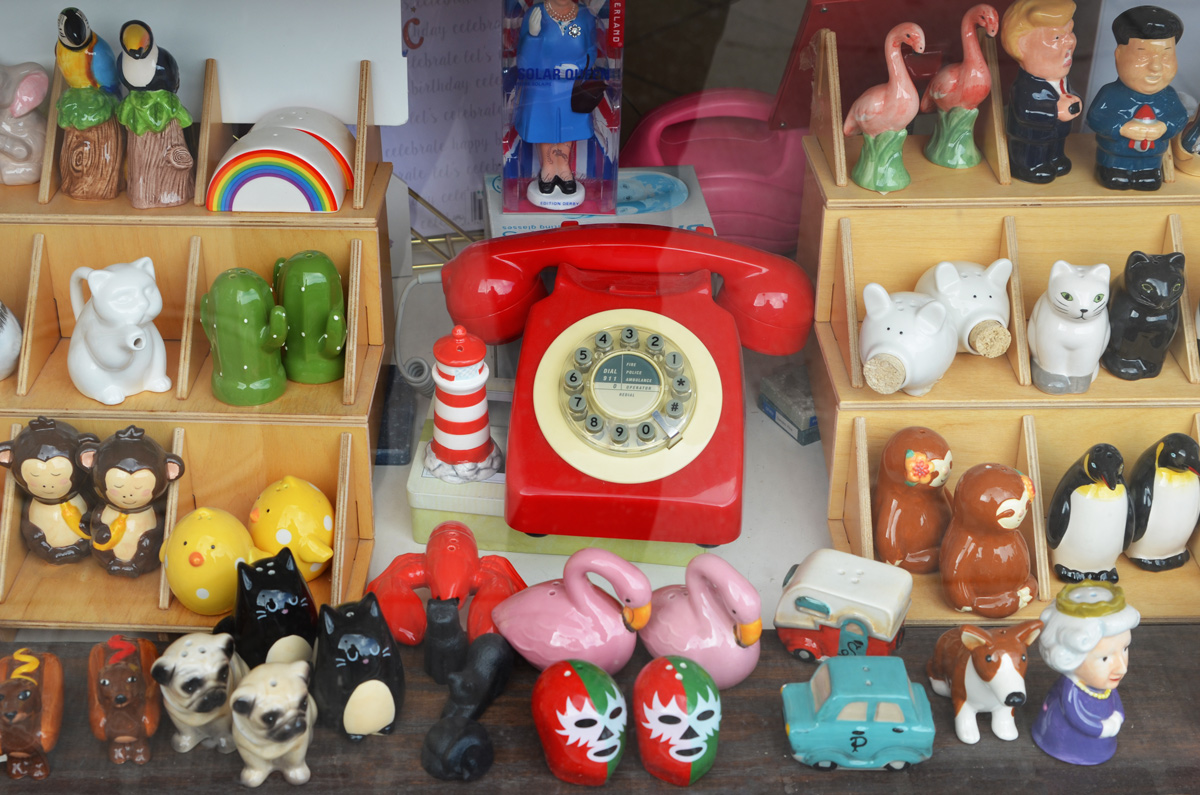
below: After a month of no shopping except for food and even no window shopping, this bright red telephone caught me eye as I walked past. Salt and pepper shakers in a store window: Flamingoes, pink swans, penguins, cats, monkeys, and little yellow chicks – cute ones and funny ones like the hot dogs, as well as political ones like Trump and his North Korean counterpart.
below: Inspired to do stuff? I think I identify more with the mug beside these days.

below: A Covid-19 message from the Danforth Music Hall – “Please take care of each other”.

below: Posters reminding people to share smiles and kindness

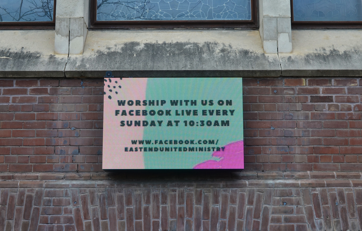
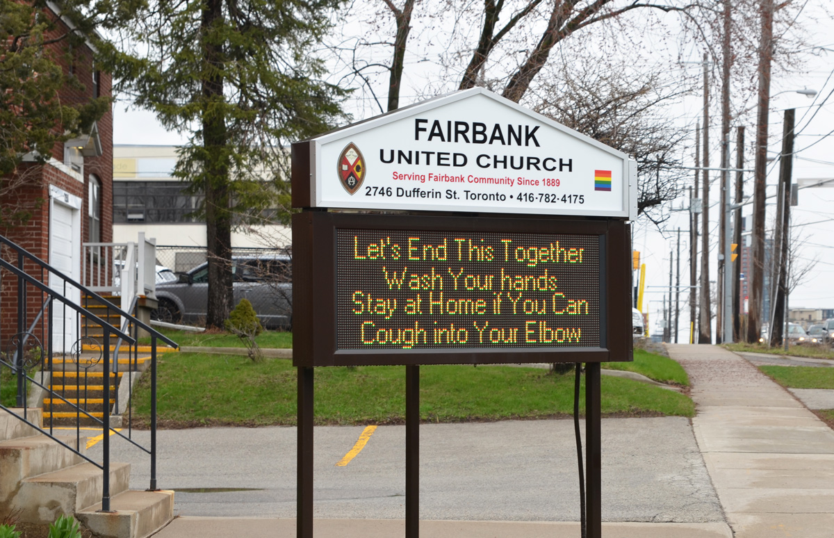
below: An electric sign outside Eastend United Church invites people to join their Sunday services on Facebook.
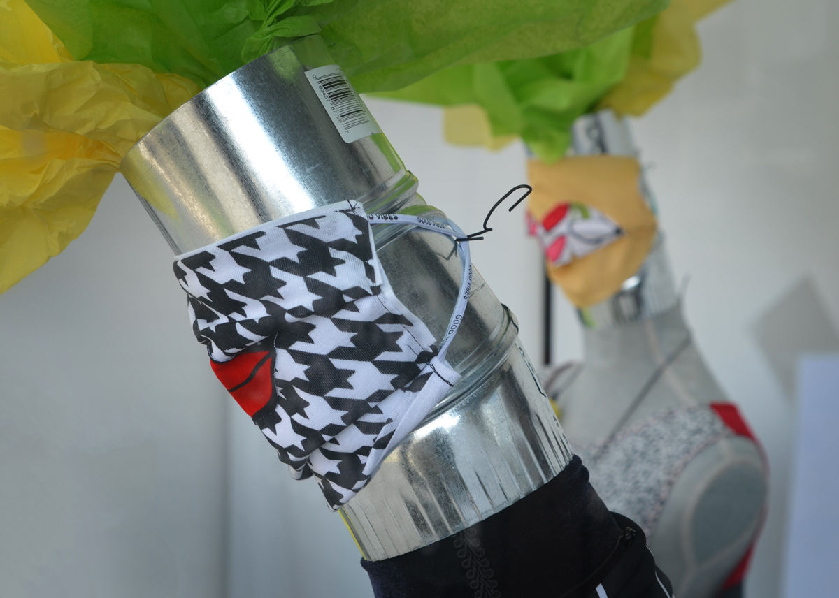
below: The mannequins had the most stylish face masks.

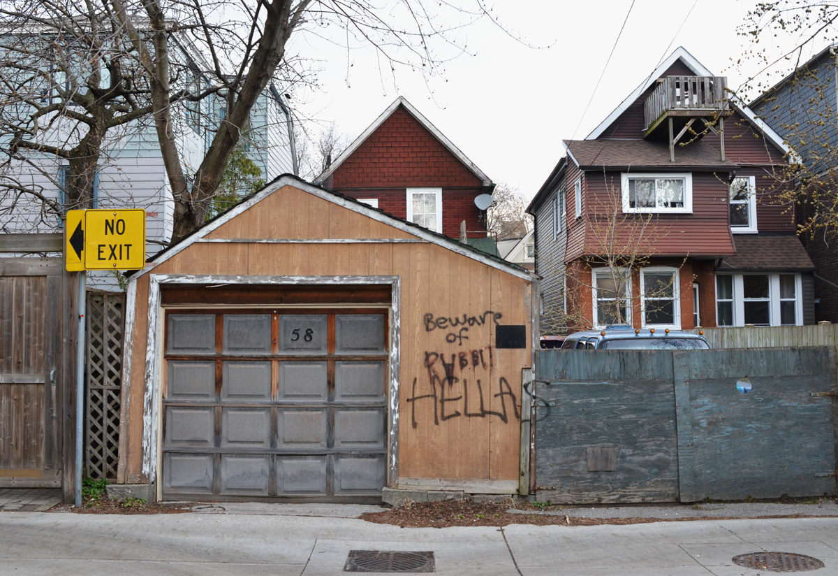
below: Beware of rabbit.
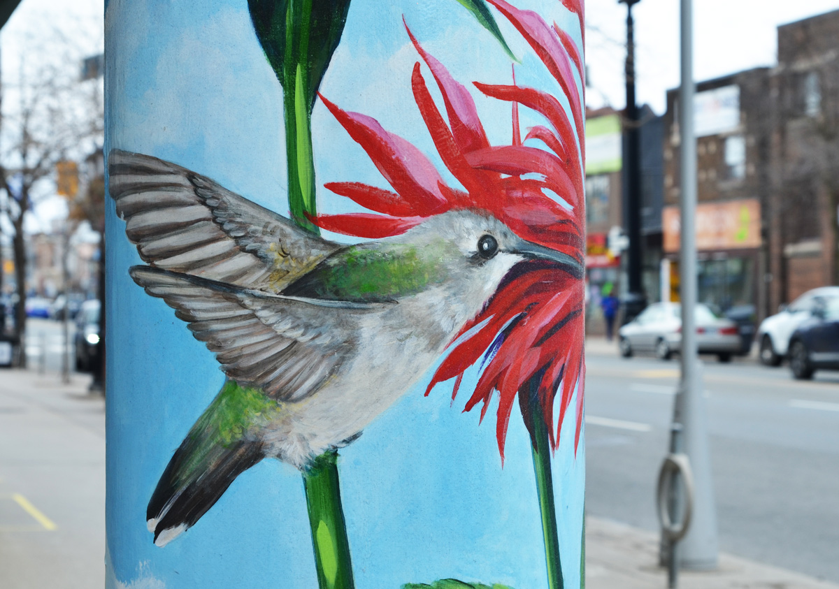
below: A hummingbird is painted on the pillar.


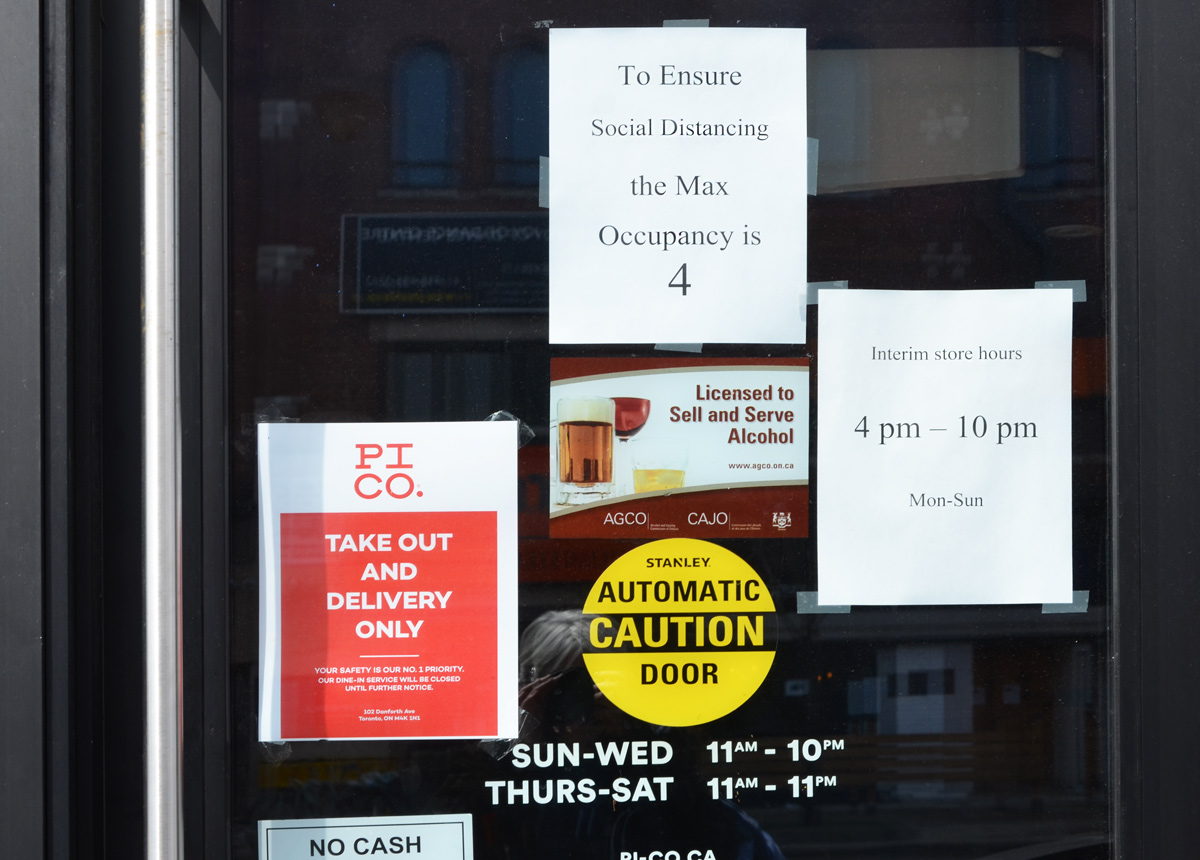
below: Takeout with distancing – a story that is repeated all over the city as restaurants try to stay afloat.
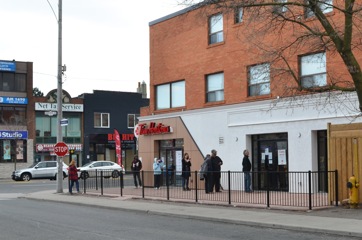
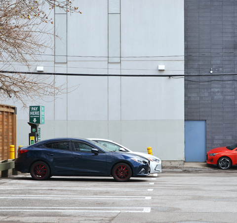
below: Social distancing leads to line ups outside Tims
below: “See you after the curve flattens”

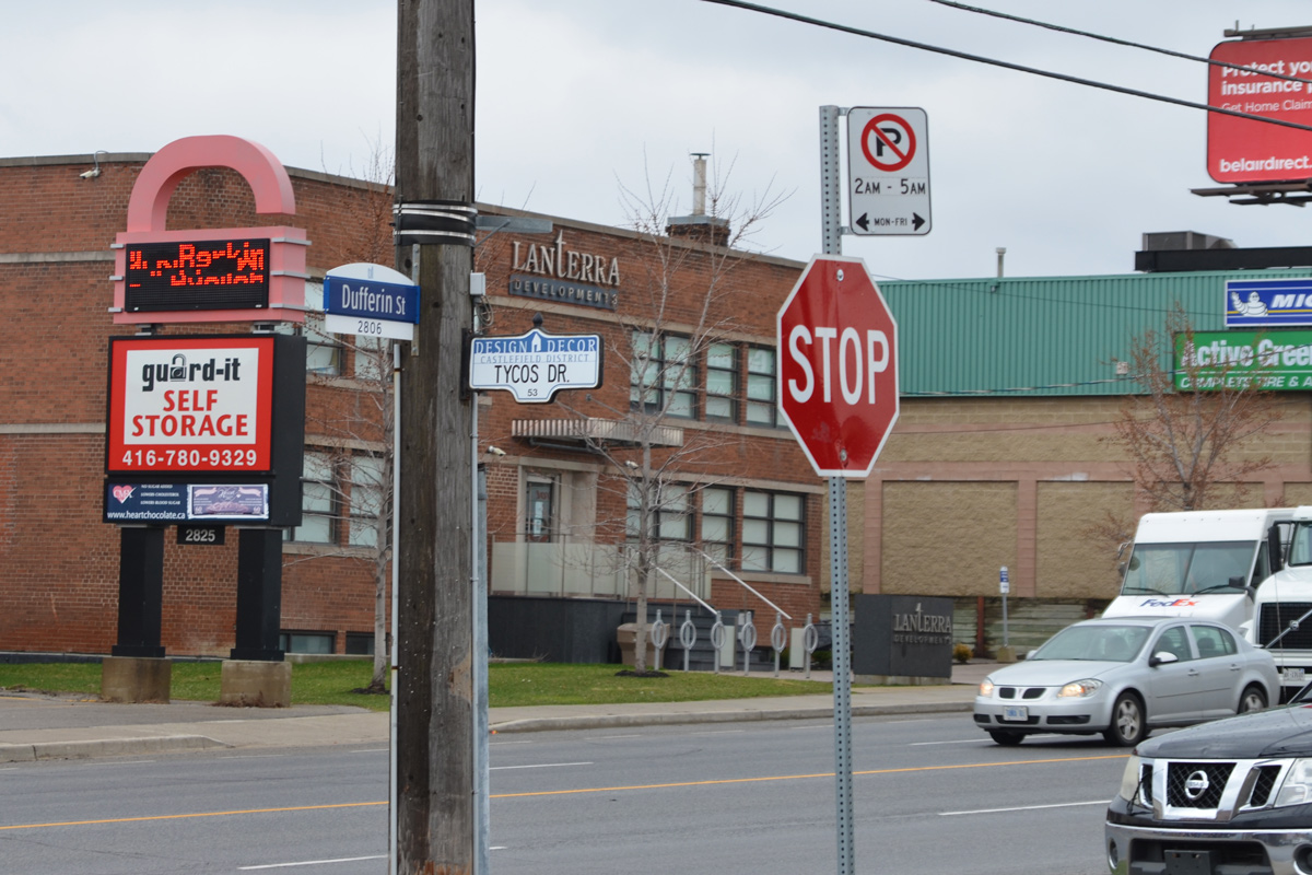
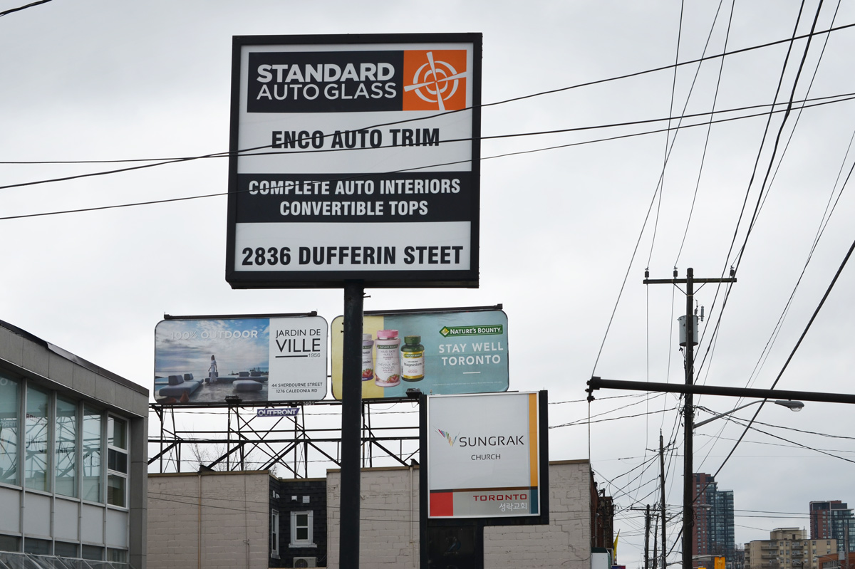
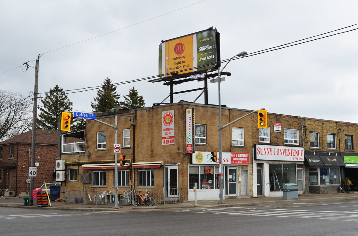
The other day I was walking a section of Dufferin Street, I came across this Heritage Toronto plaque in a little park at Dufferin and Briar Hill.

“European farmers began a community here in the early 19th century on land that was included in the 1805 Toronto Purchase treaty between the Mississauga of the Credit River and the British Crown. When a post office was established in 1874, the area was named Fairbank after a farm belonging to settler Matthew Parsons.
By 1881, about 17 families lived in the community, near the present-day intersection of Dufferin Street, Vaughan Road, and Eglinton Avenue. The Fairbank Wesleyan Methodist Church was constructed in 1889 with bricks made in a local kiln, the building still stands across the street. When he died in his nineties in 1924, Isaac Dollery, a carpenter and early settler, had witnessed his community evolve from a farming outpost to a suburb of Toronto.
Land in Fairbank was subdivided in 1890, coinciding with the construction of the Belt Line Railway commuter line. The railway made travel to Toronto easy, yet the line failed financially and ceased operation in 1894, after only two years.
Between the world ward, residential development grew and the streetcar arrived in Fairbank in 1924. Industries such as the Paton-Baldwin Knitting Works and Fairbank Lumber and Coal Co. also opened in the area. Fairbank was part of the City of York until amalgamation with the City of Toronto in 1998.
below: This is the church mentioned in the plaque – now part of the United Church.

below: By the time I had finished walking, I wanted to know more about Matthew Parsons and the community of Fairbank. I found this map showing property owners with some of the modern streets added. It looks like its original source was the book, “Historic County Map of York County”, published in 1860 as part of a series of map books covering the early counties of what is now Ontario.

Matthew Parsons bought the farmland in 1835 when he was only 19 years old. Originally he owned 200 acres of land in a rectangle bounded by Glencairn, Dufferin, Eglinton, and Keele.
below: The intersection of Dufferin and Eglinton in 1919
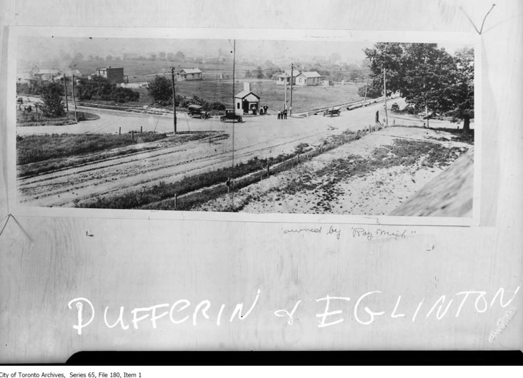
photo credit: From the City of Toronto Archives, but found online on the Fairbank Village BIA website. Follow this link if you are interested in more of the history of the area.
My walk that day did not cover all of Matthew Parson’s farmland and at one point I wandered farther east. Some of the pictures that I took that day include the following. In general, to the east of Dufferin is residential and to the west is light industrial (as well as warehouses and wholesalers).
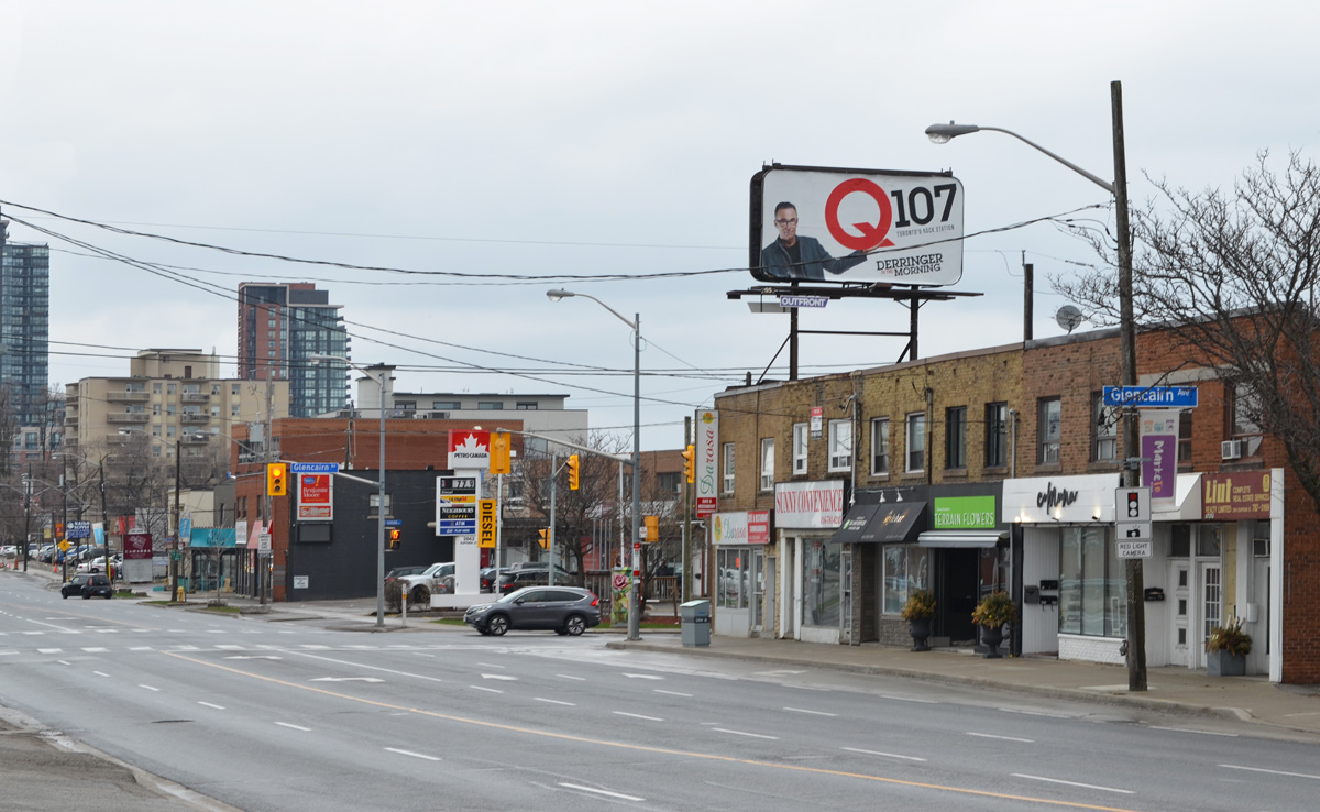
below: Glencairn and Caledonia, the western end of Glencairn.
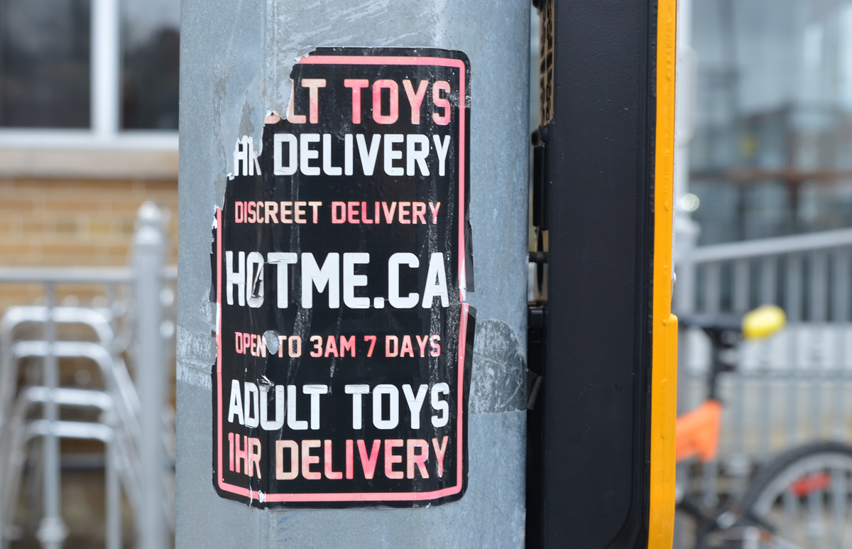
below: Like everywhere around the city, you never know what kinds of posters or stickers you’re going to find on the poles. I’m not too sure how fast they come, but they’re discreet apparently.


below: A building with symmetrical curved walls, a hint of art deco in the architecture. It is empty and available for sale or lease like a lot of buildings in the area (southwest of Glencairn and Dufferin)

below: Tucked in amongst the industrial buildings is the Ethiopian Orthodox Tewahedo Church, Menbere Berhan Kidest Mariam ( Saint Mary) Cathedral, consecrated in November 2012.

below: East side of Dufferin at Glencairn.
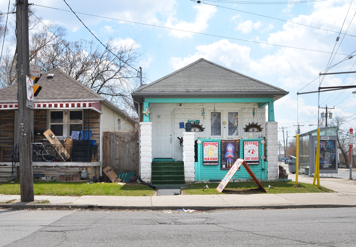
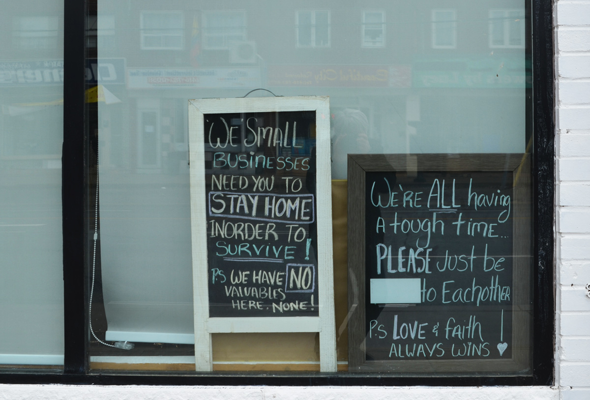
below: Chalkboard notices in the window on Dufferin Street
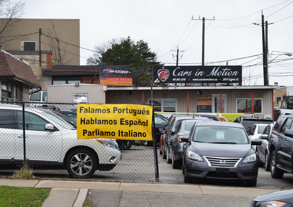
below: Trilingual car sales people.

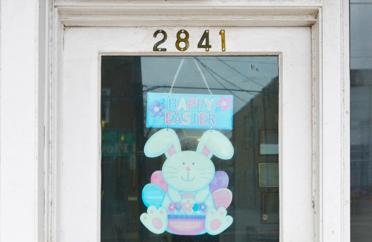
below: The Easter Bunny may be faded but its still happy!
below: She has been dancing for them, in the same spot, for so long that time has stopped.

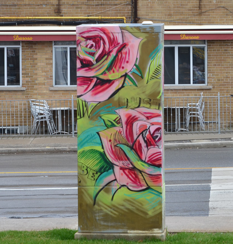
below: Two roses for Darosa.
below: Southeast corner of Dufferin and Glencairn
below: Glencairn and Marlee
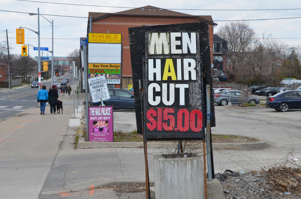
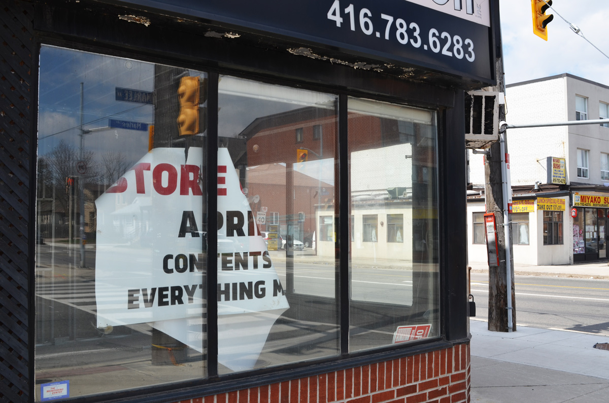
below: Looking north on Marlee

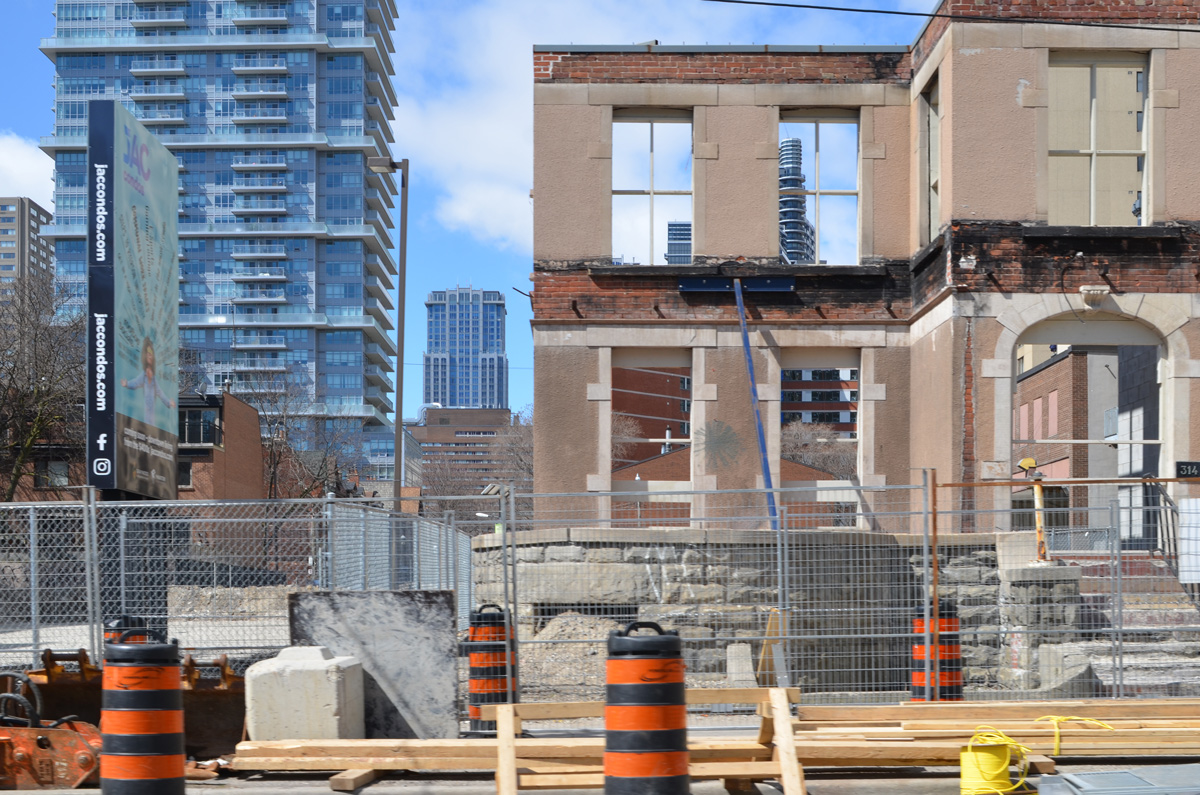
below: I don’t purposely go looking for redevelopment projects but I keep stumbling on them wherever I go. This is near Glencairn and Marlee where a group of houses are all boarded up.
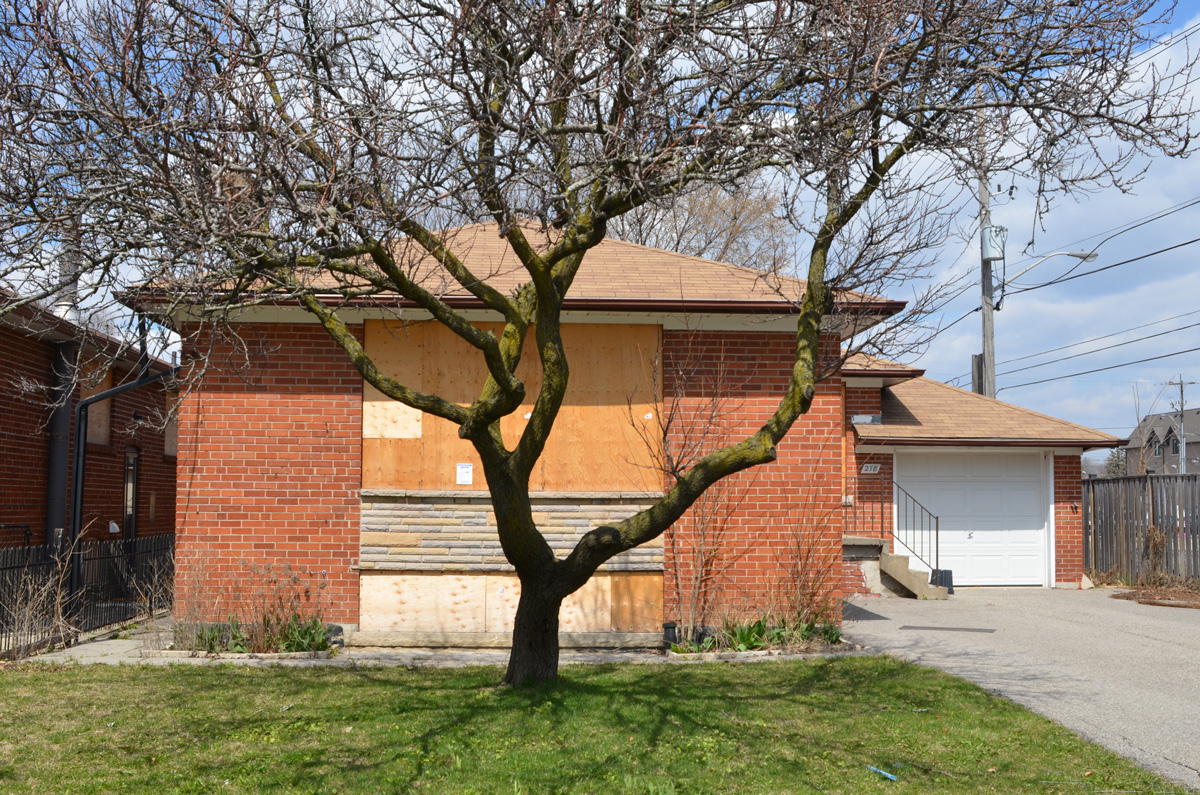
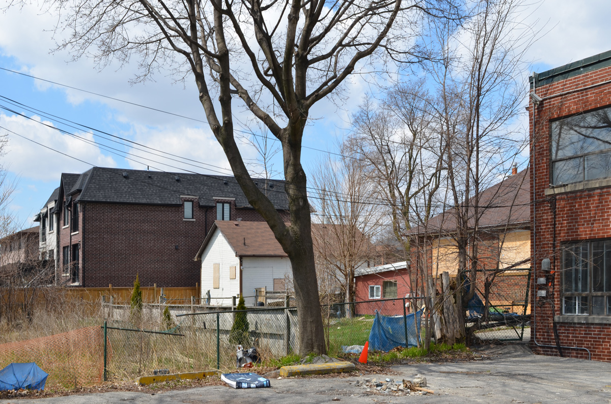
below: The backyards of these houses are adjacent to the backyard of the house above. They are all going to be replaced with a midrise condo.

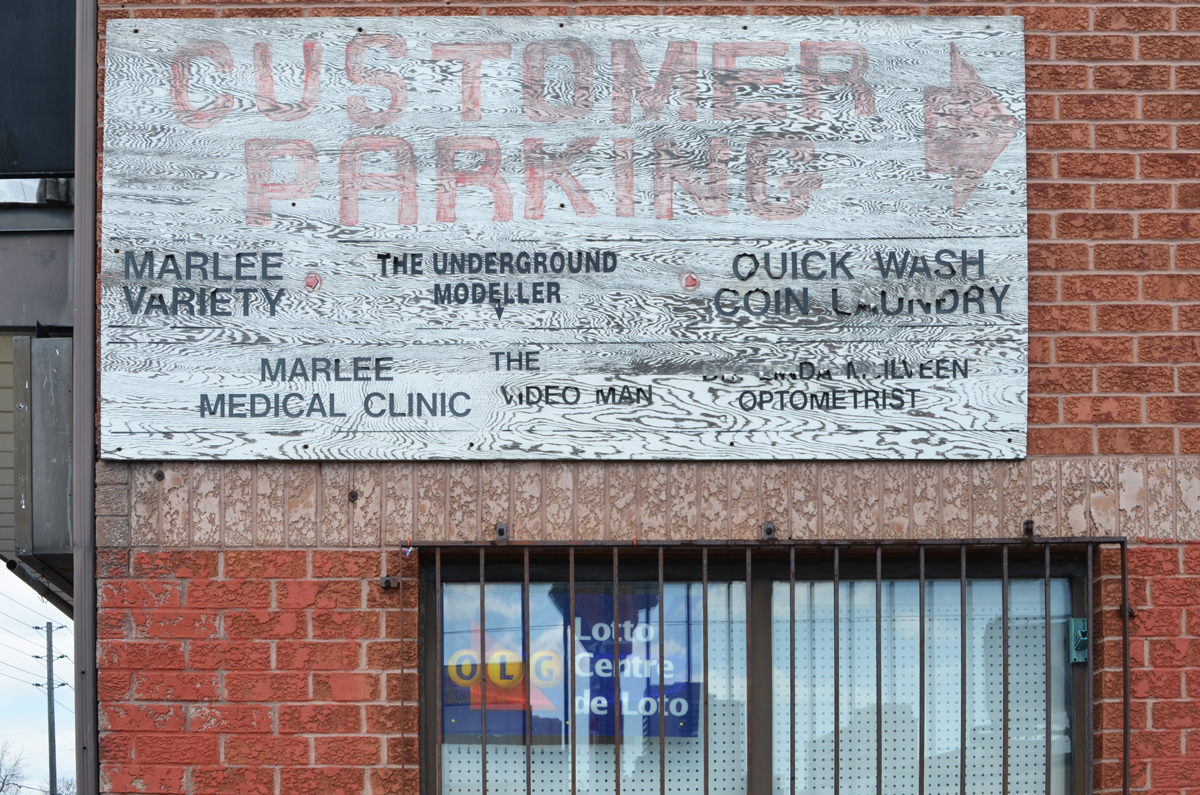
below: As well, the strip mall, or plaza, on the other side of Marlee will be demolished.
![]()
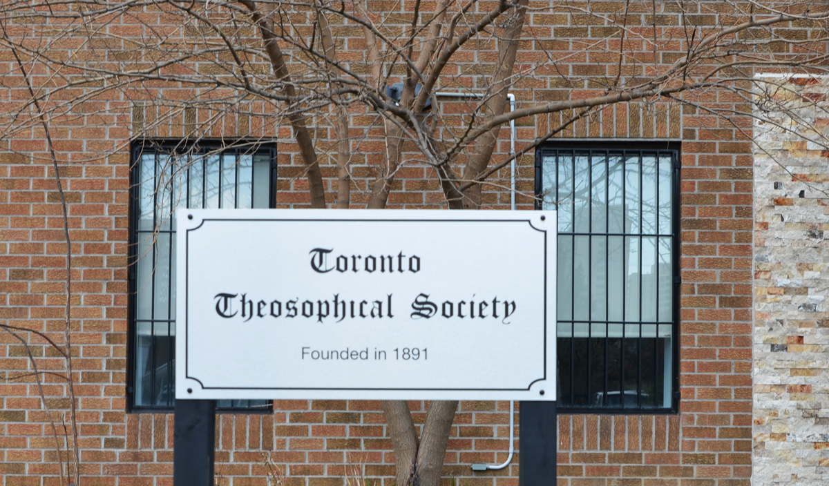
below: Home of the Toronto Theosophical Society.
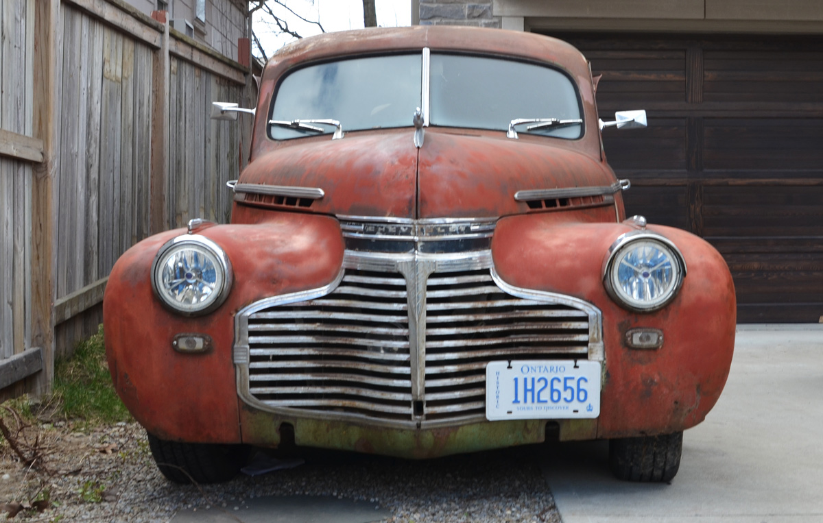
below: A lovely old Chevrolet (early 1940s?)
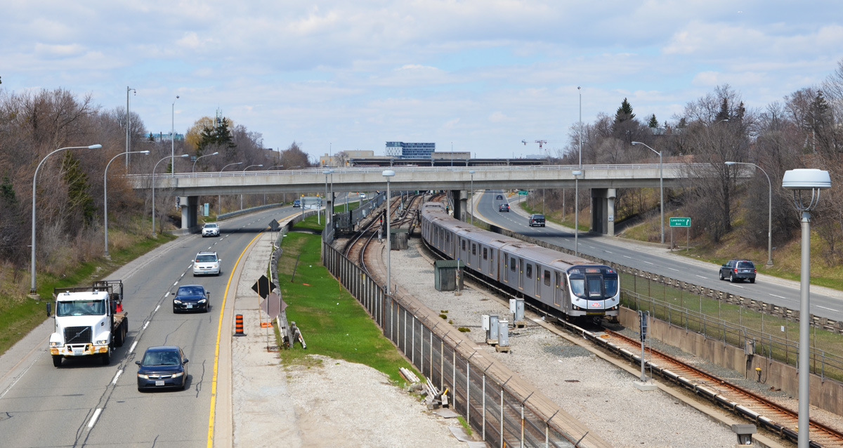
below: The Allen, looking north from Glencairn. Technically it is the William R. Allen Road but no one calls it that. At Glencairn it is an expressway. The road was part of the Spadina Expressway proposed in the 1950s – Metropolitan Toronto was formed in 1954 and highway building was one of its priorities. The Spadina Expressway would join downtown with the 401 highway at the new Yorkdale Mall. The more northerly part of the road was built prior to 1971 when the project was cancelled. Here, at Glencairn, the road site had only been leveled and it became known as the ‘Davis Ditch’, after Bill Davis the Ontario Premier at the time. It wasn’t until 1976 that the stretch between Lawrence and Eglinton was finished.
below: The south entrance to Glencairn station (the north entrance looks exactly the same and is located directly across the street). It opened in 1978. Note the coloured glass roof.
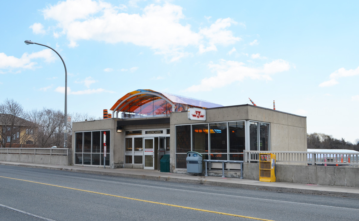
below: There is a yellow glow in the interior from the stained glass roof. The skylight roof has been refurbished; Rita Letendre’s artwork “Joy” had become very faded since its installation in 1978 .

After Glencairn crosses over the Allen Expressway, it continues east all the way to Yonge Street.
![]()
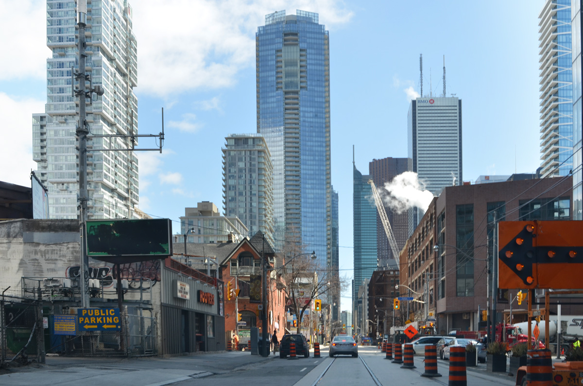
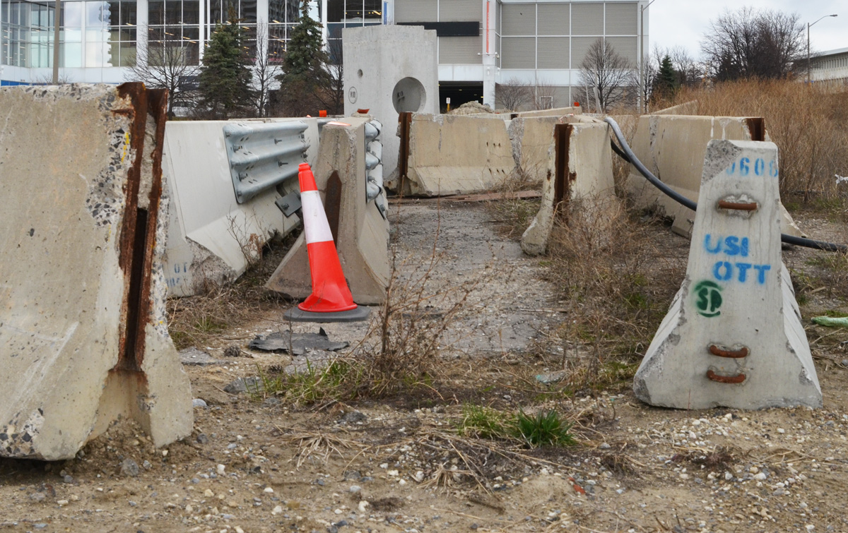
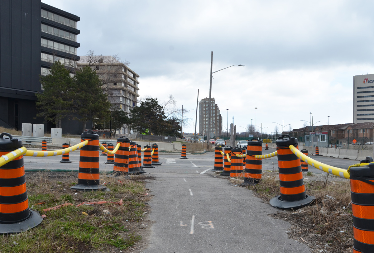
There’s a video on the internet of a kangaroo hopping down the street in deserted downtown Adelaide Australia and there are photos of other animals that have taken to roaming urban streets now that many people are staying at home. I thought of these things as I drove downtown today. Not because I saw animals. Not because the streets were quiet and empty. No, instead I wanted to compare these animal sightings to the proliferation of orange and black traffic cones as well as dump trucks and other machinery. It seems like the city has taken this time to block more lanes for construction than usual – I may be imagining things but I doubt it.
below: Driving east on Adelaide
below: Demolition on Jarvis
below: Maud Street

below: Lombard Street
below: I think that they are looking at me but how can I be sure?

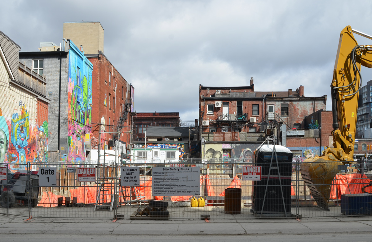
My destination this morning was Graffiti Alley. There were no tourists there today but there were trucks blocking the alley. More construction nonsense.
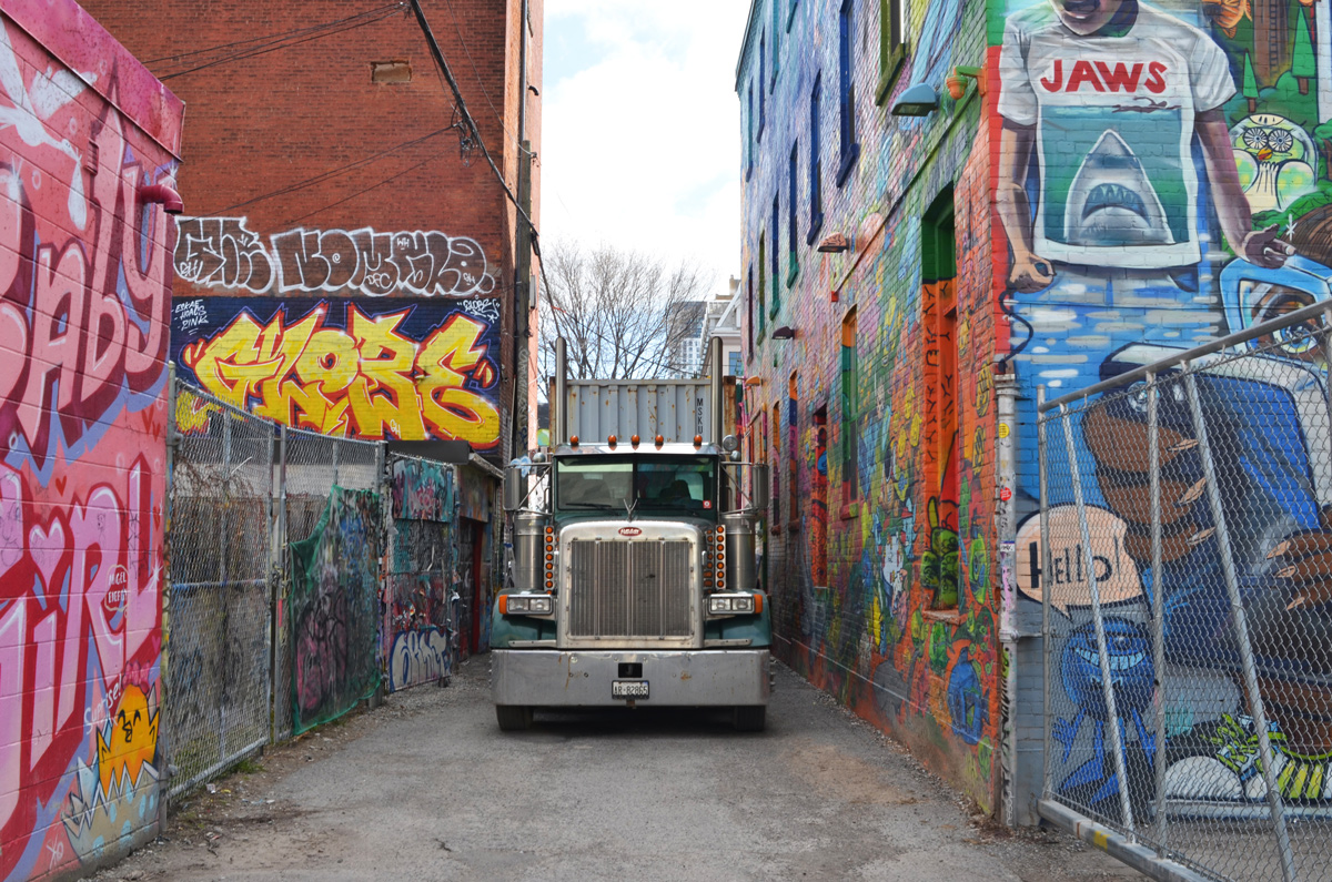
below: In fact there were two trucks

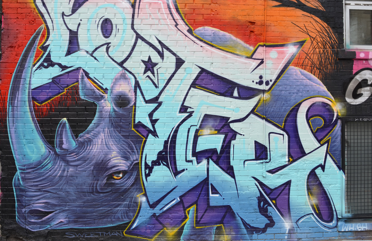
below: A new Nick Sweetman mural – a purple rhinoceros
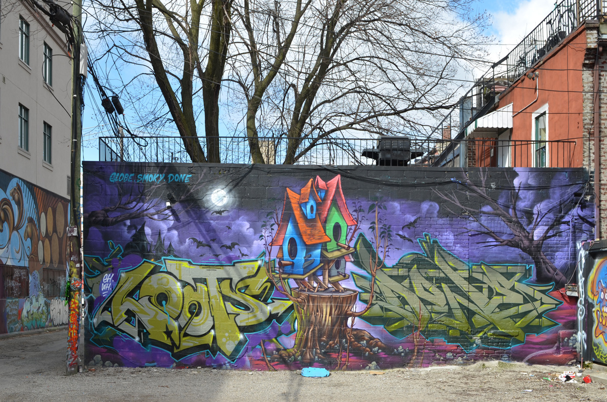
below: This mural is not new but it is the first time that I have seen it with no cars parked beside it.
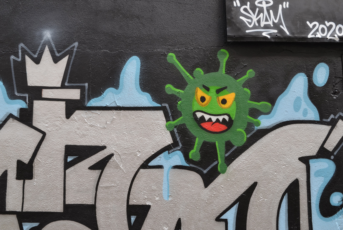
below: Graffiti Alley now tests positive for the novel coronavirus, the green variety.


below: KFC sits empty. That’s not a coronavirus victim – it was empty before we all started staying home.
below: A message from 525 and 523, Stay Safe! (actually it’s from T-bonez).

Stay safe and
stay healthy!

I’ve been keeping an eye on the old IBM building at the corner of Don Mills and Eglinton. It was built in 1951 as IBM’s Canadian manufacturing plant and head office.
It’s been empty for a long time but recently work has begun on the site.
The IBM complex sits on 60 acres and the whole site will be redeveloped in the coming months. The white tower in the background is also on the site, right beside the CPR tracks that mark the northern boundary.

below: A Canada goose struts near one of the entrances to the old IBM building that is being demolished.


below: 1954

photo credit – taken from ‘Urban Toronto’ online article about this development
below: Apparently the plan is to build a mix of residential and commercial buildings on the site ranging from 3 to 44 storeys. A new community centre and park are also included in the planned Crosstown Community.

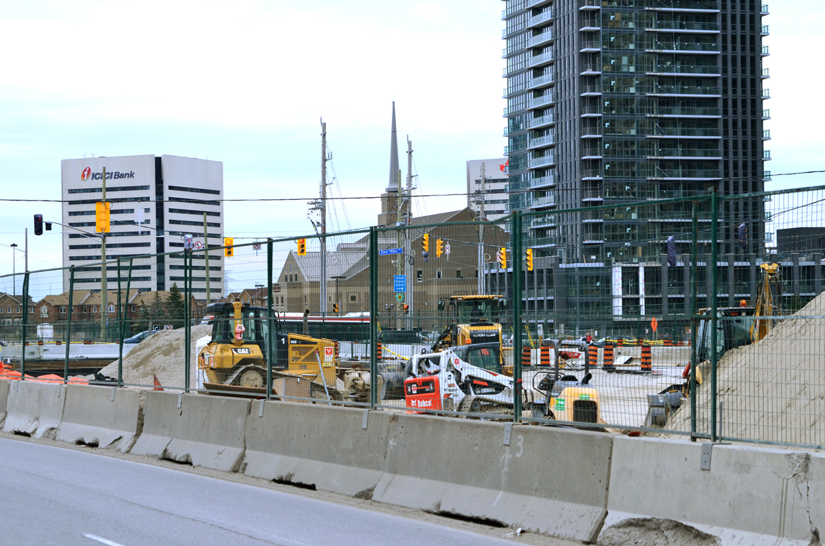
In terms of construction and development, this intersection is very busy as it is also the location of the future Science Centre LRT station. It has been a mess for so long that I can’t remember how long it’s been. There are signs of progress starting to emerge from the chaos so perhaps there is hope for a 2021 opening of the Crosstown LRT.
below: The new bus bays on the northeast corner are starting to take shape.

below: More of the NE corner.

below: Looking across Eglinton towards the Mormon church and other buildings on the south east corner.
below: A sign of the times. Covid-19 dos and don’ts.

below: New tracks being laid where the LRT comes back to the surface east of Don Mills Road (looking east towards the DVP). The Science Centre station is underground even though the tracks on both the east and west side are above ground.

below: From the NE corner (black building is/was the Ontario Federation of Labour) looking south. All buildings are on the east side of Don Mills Road.

below: A sidewalk, temporary, lined with cones, along Eglinton.
There are other buildings being torn down. The building in the background is 1200 Eglinton Ave East. It was an office building with a parking structure beside it. This is the view from Wynford Drive.
The same building a few days later when I went back to check on the demolition’s progress. The parking structure is now just piles of rubble and more of the exterior walls of the other building are gone.


below: The large, almost empty, parking lot behind the Bell building on Wynford.
![]()
below: With a few exceptions, most of the buildings around Wynford are products of the 1960s and 1970s.


below: Another empty parking lot. This picture was taken on a Saturday afternoon which might explain the lack of cars but as I drive around the city I see lots of empty parking lots even during the work week. A sign of the times.

below: Looking across the Don Valley Parkway
below: CPR tracks behind Wynford.
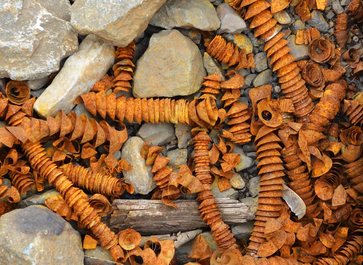
below: Rusty metal spirals, tightly wound, found amongst the gravel along the train tracks.


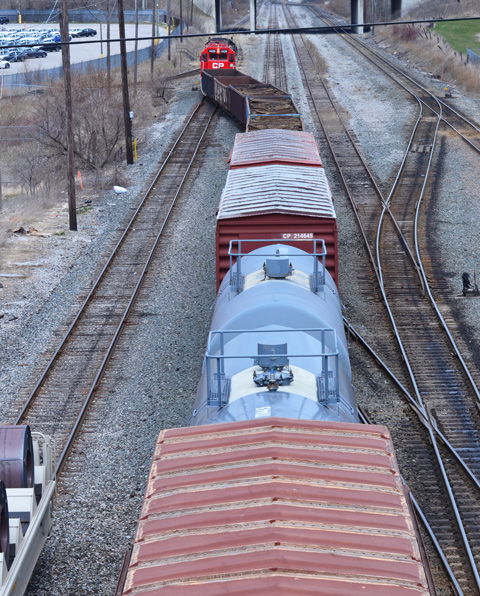
below: Looking east along the tracks just before they cross the DVP. If you follow the tracks, they lead you to the CPR marshaling yard at McCowan and Sheppard. So, that’s where I went next…. (scroll down!)
It’s easy to view railway tracks from bridges, in this case from a bridge on Finch Avenue East between Markham Road and McCowan. The is CPR Toronto Yard.

It is a marshaling yard, also known as a classification yard, which is where railway cars are separated onto one of several tracks and joined with other cars with the same destination.

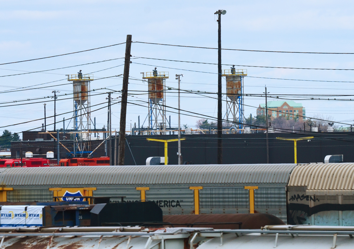
Sitting on over 400 acres, CPR’s yard in Scarborough is one of the largest in Canada. There are 311 switches and about 140km of track on which freight cars are shunted between tracks. The site was opened in 1964.

…but getting to track level can be more of a challenge.
below: It sometimes involves getting lost and having a chat with a security guard or two (but not until after you have a few good wall & shadow pictures)

below: In other places, access is simple.


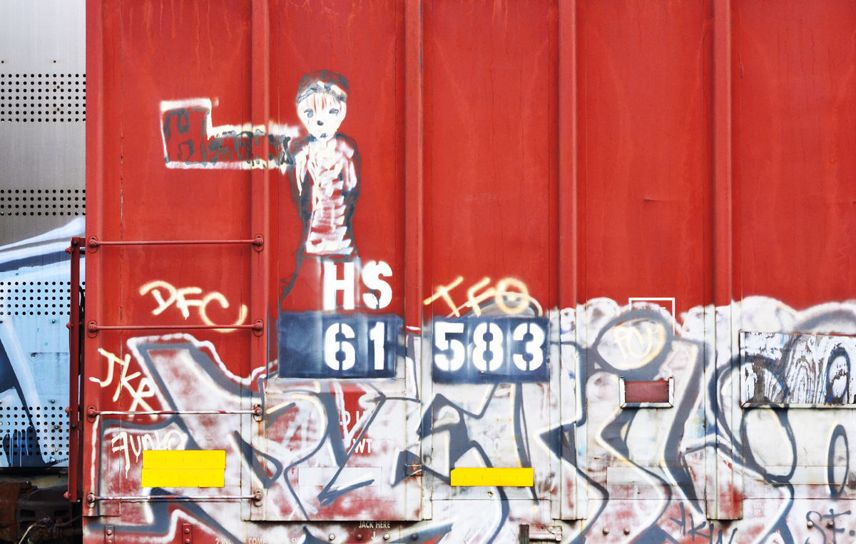
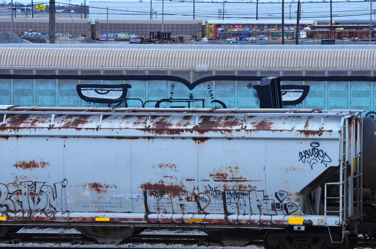
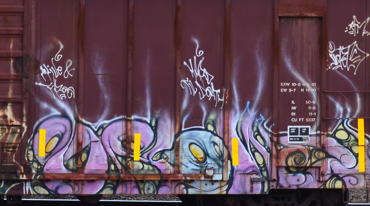
below: I’ve never thought too much about graffiti on trains until today – How many miles has this little guy traveled? Where did he come from and who painted him when? How many people have seen him as he shuttles back and forth across the country (or perhaps farther than that?)?
below: Looking right back at you!
below: A westbound train leaves the yard at McCowan Road.

below: Back in 1964 the community of Browns Corners was at the corner of Finch Avenue East and Markham Road(not to be confused with the other Browns Corners on Woodbine Ave and Hwy 7). There are no more traces of the community or the farms that surrounded it.
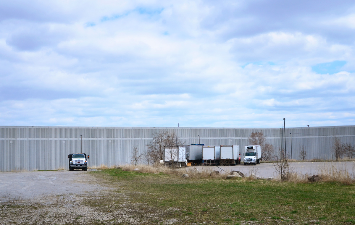
I only walked around part of the yard and I didn`t take very many pictures of the buildings that are there – seniors residence, medical clinic, a few offices, etc.


I would like to end this blog post with one building that I saw that was different.
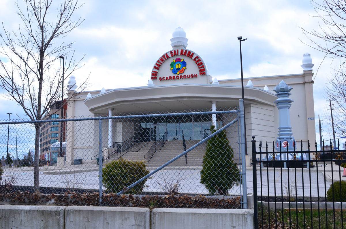
below: The Sri Sathya Sai Baba Centre is nearby. I think that I have it right – the Sathya Sai Organization is not a religion but a “universal approach to life” whose teacher and spiritual leader is Sathya Sai Baba. Each of the five petals in the flower contain a word or phrase: truth, right conduct, peace, non violence, and love.
below: There was a column-like structure near the door topped with a large lotus flower. The base was square and on each were printed words. “Offer all bitterness in the sacred Fire and emerge grand, great and Godly.”

below: “Remember the wheel of Cause and Consequence of Deed and Destiny and the Wheel of Dharma that rights them all”. I assume that the other two sides also had inscriptions but I couldn’t see them because of a fence with a locked gate.

Back on McCowan and back home… (still no TTC in my life)

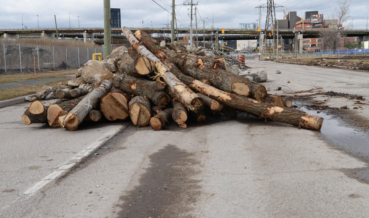
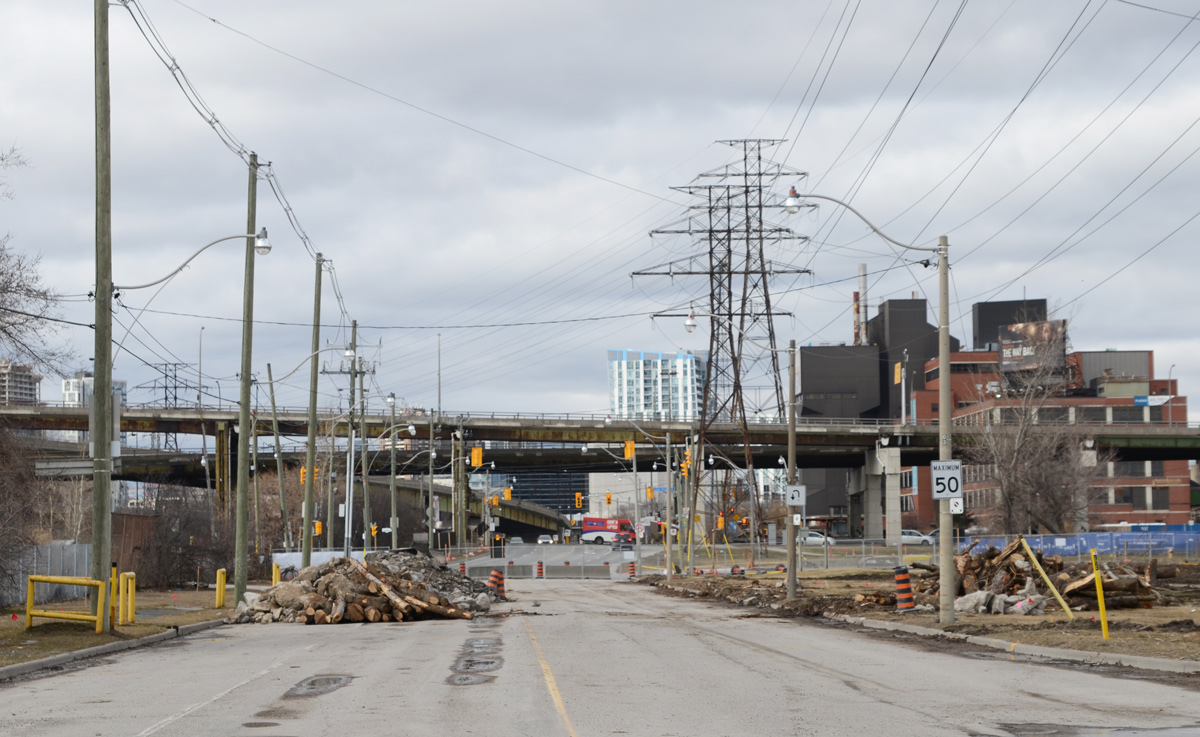
Work continues on the Port Lands redevelopment with more buildings being demolished to make way for the new mouth of the Don River.
below: Cherry Street bridge

below: Don Roadway looking north. The southern part is now closed (south of Lakeshore Blvd)
below: Villiers Street at the Don Roadway. A couple of old buildings remain on Villiers but many structures between Villiers and the Keating Channel are now gone, especially at the east end of the channel near the present mouth of the Don River.

below: Commissioners Street, looking east. Everything in that block, on the south side, has been levelled – the blue and white building is on the other side of the Don Roadway.


below: The west end of Commissioners street

below: Commissioners Street, north side

below: T’nT grocery store is now closed. The red sign by the door advertises Chinese New Year specials.

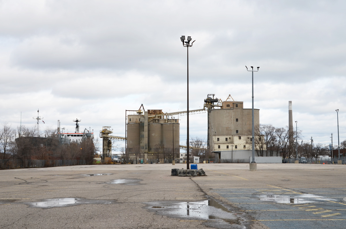
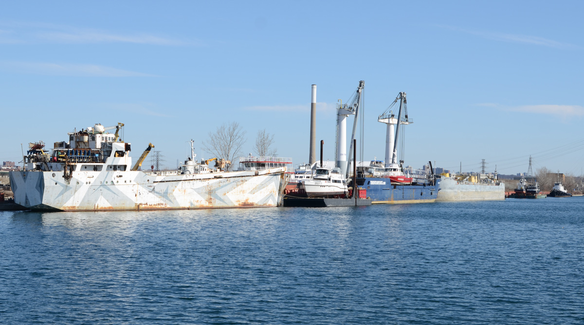
below: The same boat, the NACC Argonaut, but from the south, from Polson Street. NACC = Nova Algoma Cement Carriers. She was built in Japan in 2003 and converted into a cement carrier in 2017. The next year she entered service on the Great Lakes.

below: As you can see more clearly here, the Argonaut was actually parked beside the Lafarge facility. T’nT is behind the Lafarge Cement round towers (building on the left).

below: Shipping Channel

below: There are quite a few old railway crossing signs in the Port Lands for tracks that have been torn up or long unused. I am surprised that no one has stolen them.
below: Boats of a different kind – RCYC (Royal Canadian Yacht Club) on Cherry Street.
below: Cherry Beach

No construction affects the beach but these days, people are keeping their distance. Since taking these pictures the beach may have been closed, I’m not sure. The parking lot will be closed for sure.

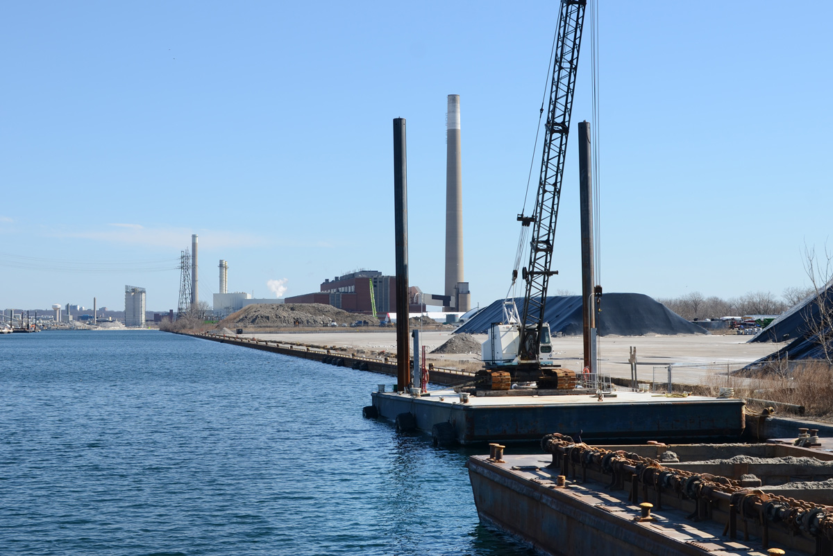
below: Unwin Street, looking east towards the old Hearn Generating Station

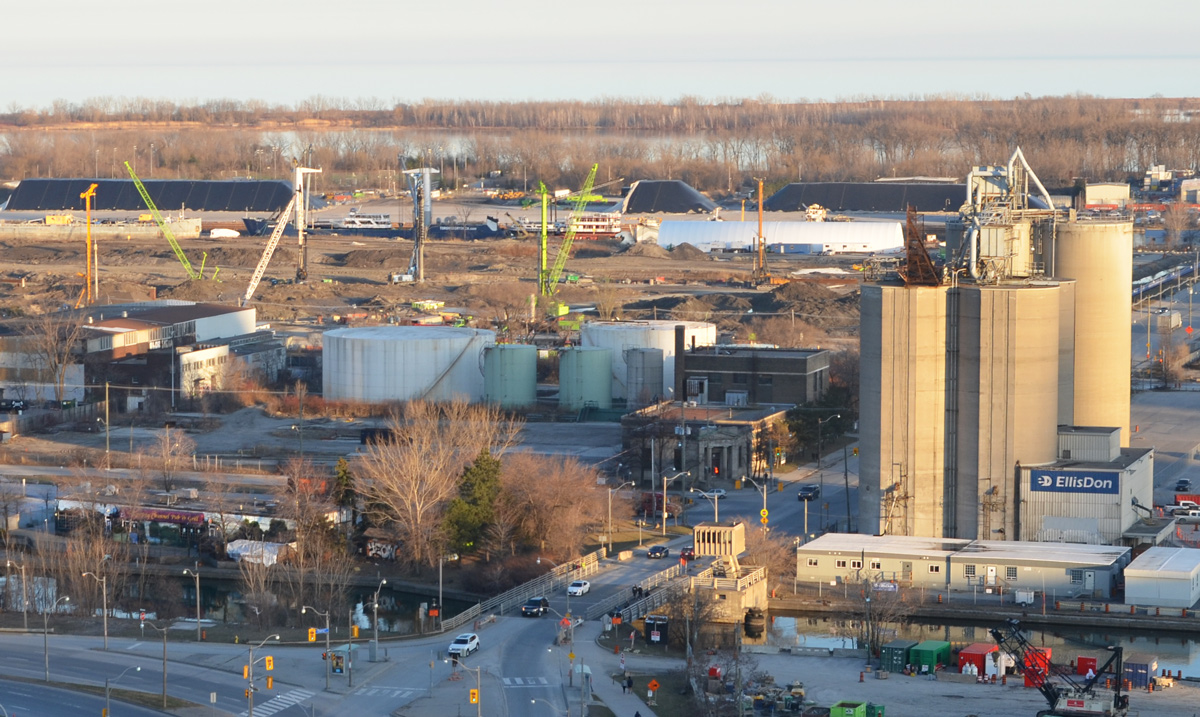
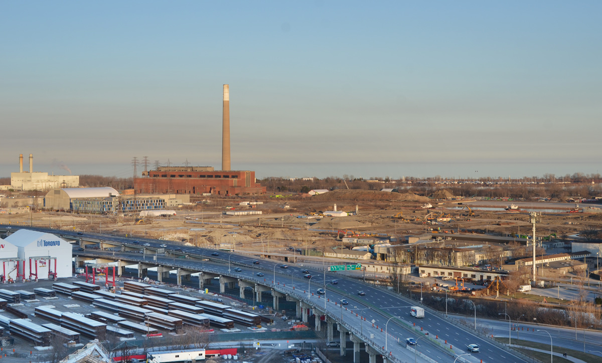
below: Another Port Lands view from above. North of the Gardiner is the construction site for the rebuilding of the Gardiner. To the south is the Port Lands with the tall smokestack/chimney of the Hearn. The white building with the two chimneys on the far left is the Portlands Energy Centre, a natural gas powered electricity generating station.
below: The entry to the Portlands Energy Centre which is the property of Hydro One.


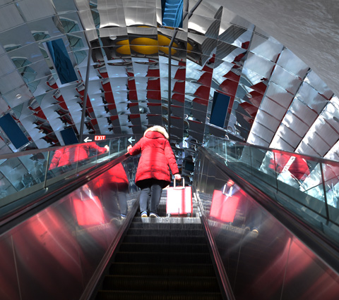
We all need some light and colour these days. So I went through old files and found these colourful pictures of the newest TTC subway stations that I took back in February, on Family Day actually. It seems like a long time ago!
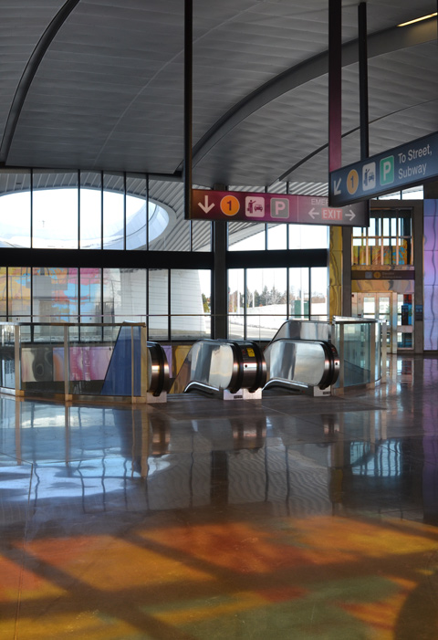
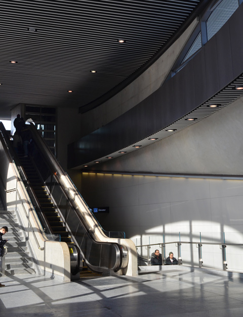
below: Escalators, Pioneer Village subway station
below: From the outside looking in, Pioneer Village station

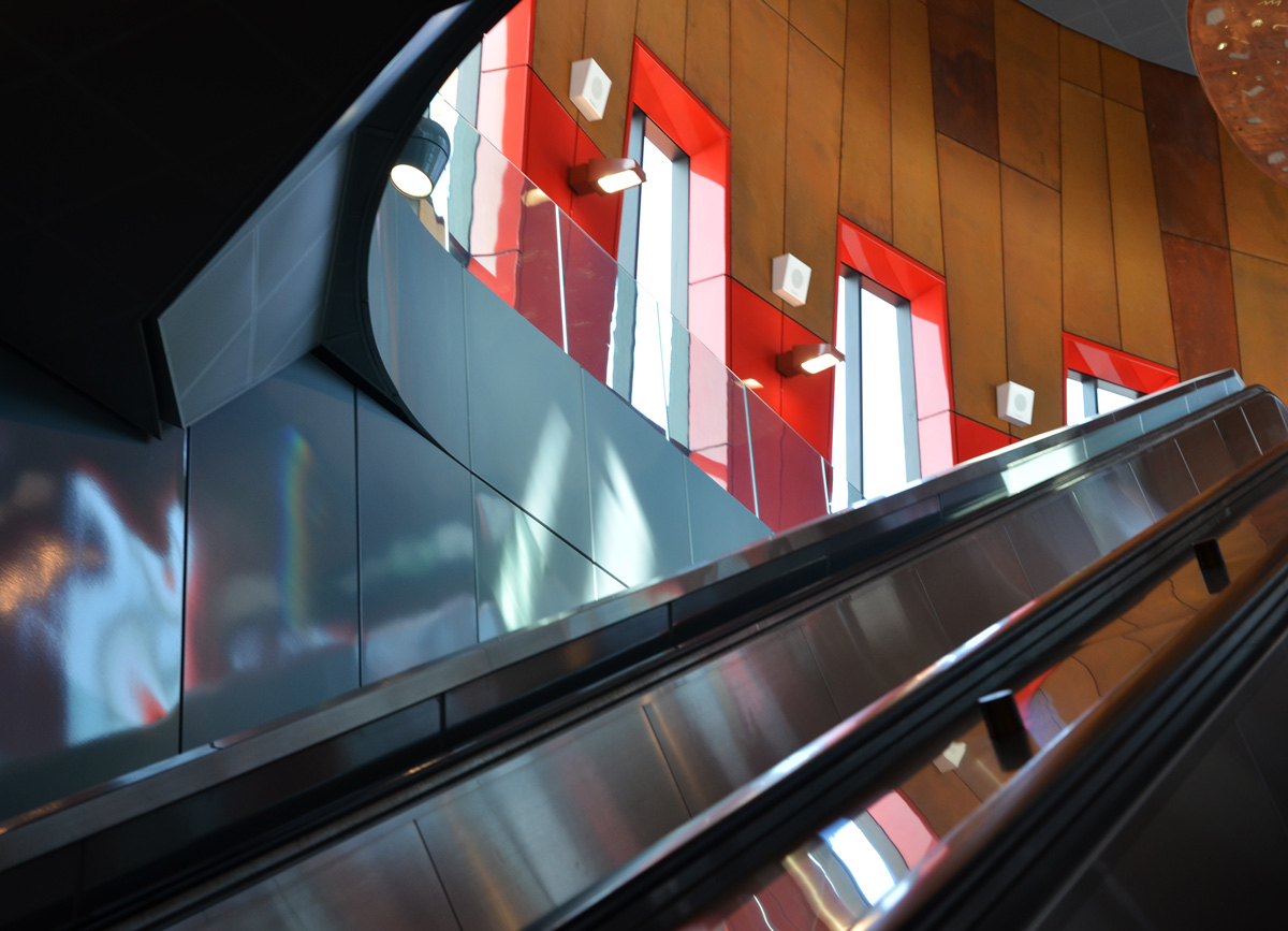
below: Hwy 407 station. Artwork by David Pearl.


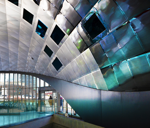
below: The pinks, yellows, and blues from the coloured windows shine and bounce off surfaces
below: Little lights dance around the ceiling and upper part of the walls. This effect is caused by the artwork in the ceiling – a circular opening that you can just see in the upper left corner.
below: Looking straight up into the skylight with it’s many-sided walls that are covered with reflective material.

below: ‘Atmospheric Lens’ by Paul Raff Studio is the artwork that is incorporated into the roof of the station. It features skylights and reflective panels. Vaughan station.
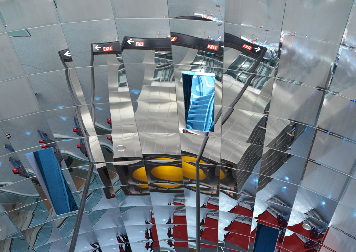

below: Curved, reflective ceiling, Vaughan station
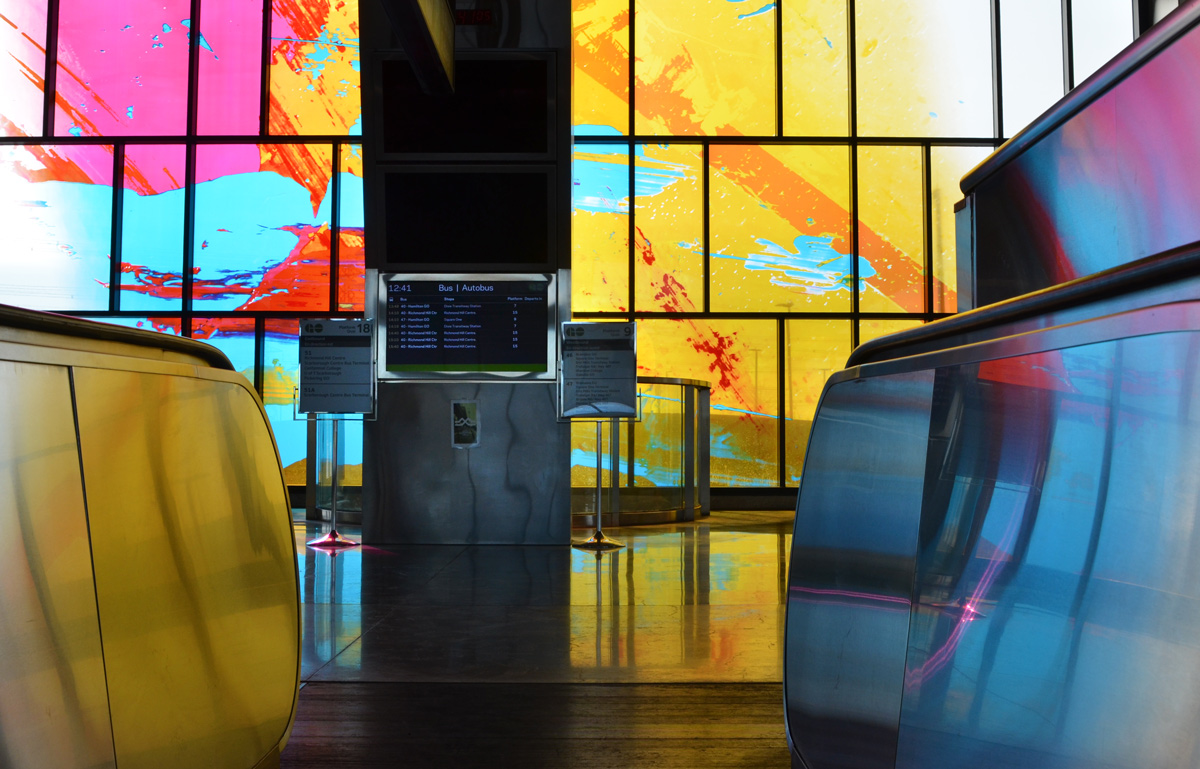
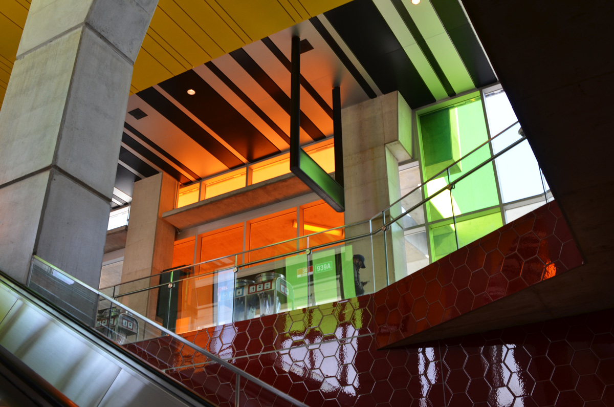
below: Finch West station with its very shiny red hexagonal wall tiles and coloured panes of glass.

below: No colours at York University station, but lots of windows and lots of natural light.
Staying on the side of caution, I haven’t been on the TTC for almost two weeks. Instead, I have been using this time to venture into areas where it’s easier to drive to including some parts of the city where I rarely (if ever) go. This is the story of yesterday’s adventure.
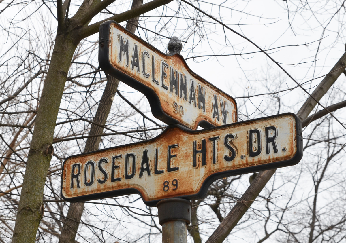
below: Two old rusty acorn-style street signs.

below: On the concrete embankment below the elementary school is a very faded mural.

below: I doubt this car was a new model the year this mural was painted…. maybe? LOL


below: Two together, locked beside each other. Below are the CPR tracks, the same ones that run through the middle of the city from West Toronto, past the Junction and through to the railway yards at McCowan Road in Scarborough.

below: A small sliver of land between the tracks and the street, just big enough for a narrow house.

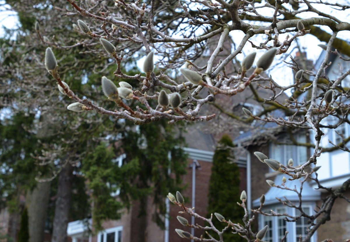
below: Magnolia buds in a front yard.
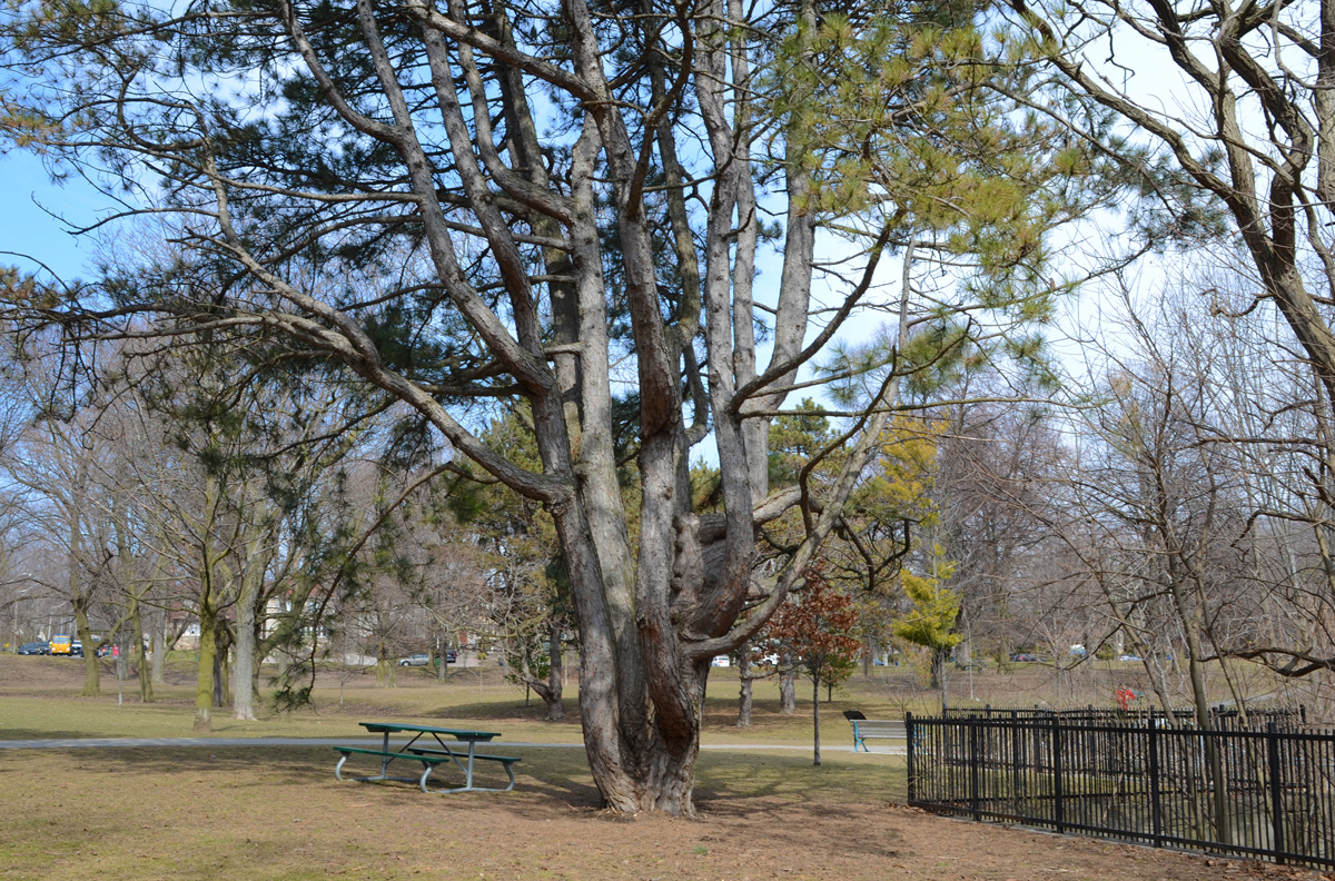
below: A very old pine tree in Chorley Park
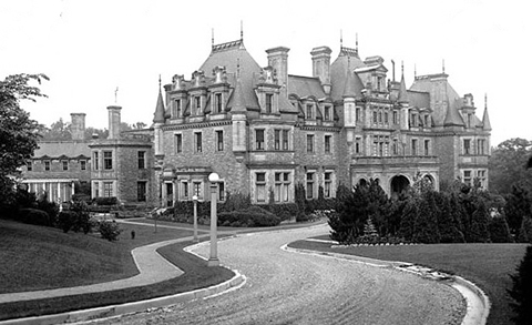
below: Chorley Park was once the site of the official residence of the Lieutenant-Governor.

below: It was built in 1915 and was modelled on various chateaux of the Loire Valley in France. In 1937 it was closed down for financial reasons – during the Great Depression of the 1930s, the annual costs of heating and electricity were the subject of political debate. The federal government bought it, using it first as a military hospital and then as RCMP headquarters. In 1960 the city of Toronto purchased the property, tore down the building, and developed the site as a park.
below: From Chorley Park there is a path that winds down the hill to part of the Beltline Trail and the Brick Works park beyond that.

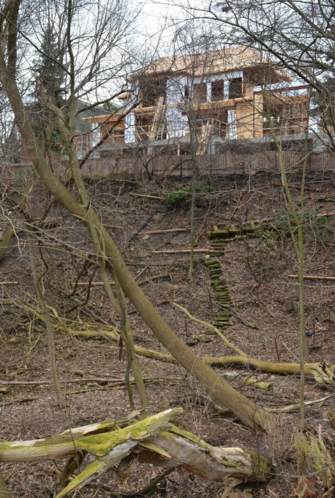
below: Part of the path down the hill is being rebuilt.


below: Mud Creek. It was about here that the word ‘dun’ popped into my head; that was definitely the word of the day… dull greyish brown colour. Mud creek, dun views.
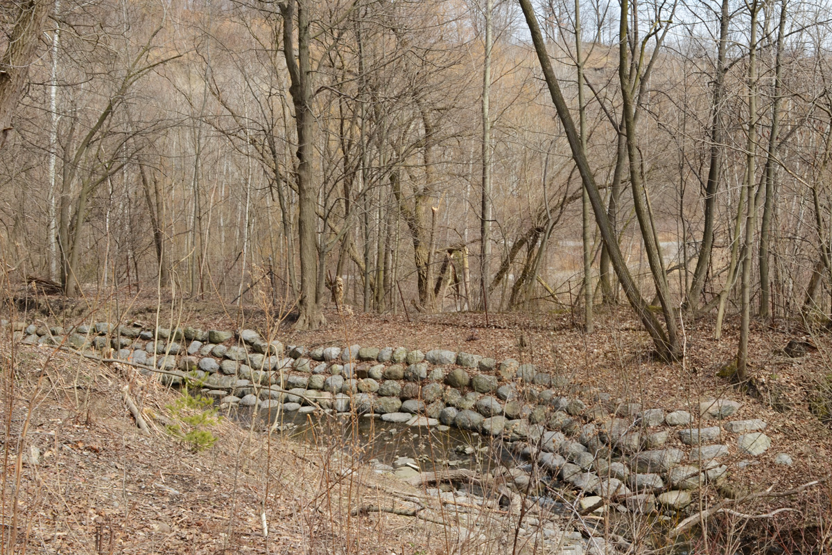
below: Maybe dun but that doesn’t mean uninteresting. It won’t be long until there are leaves and then lots gets hidden and houses like this get more of their privacy back! I’ll gladly stare while I can 🙂 I wonder if anyone uses those stairs?
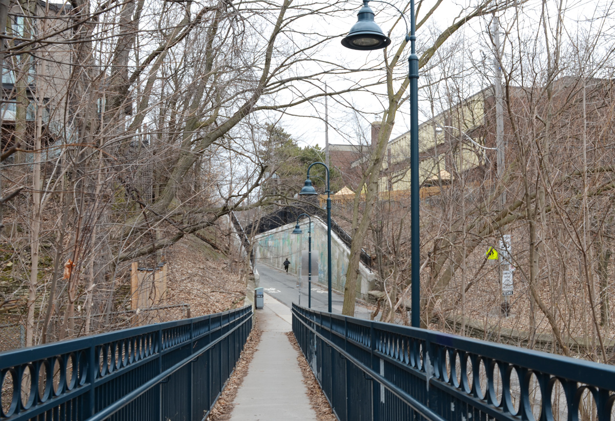
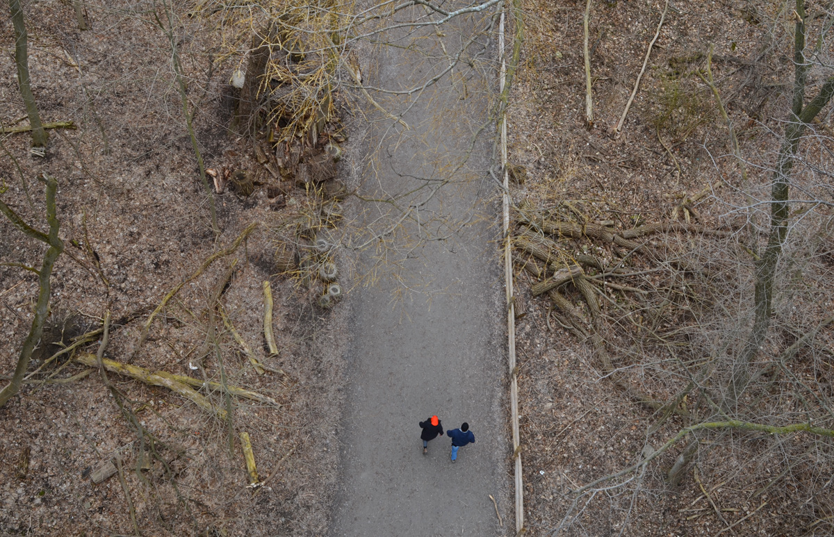
below: Governors Bridge passes over the trail that I share with very few people and about as many dogs as people.

below: The street art on the concrete pillars of the bridge look fairly fresh.

Quick diversion to the top of the bridge!
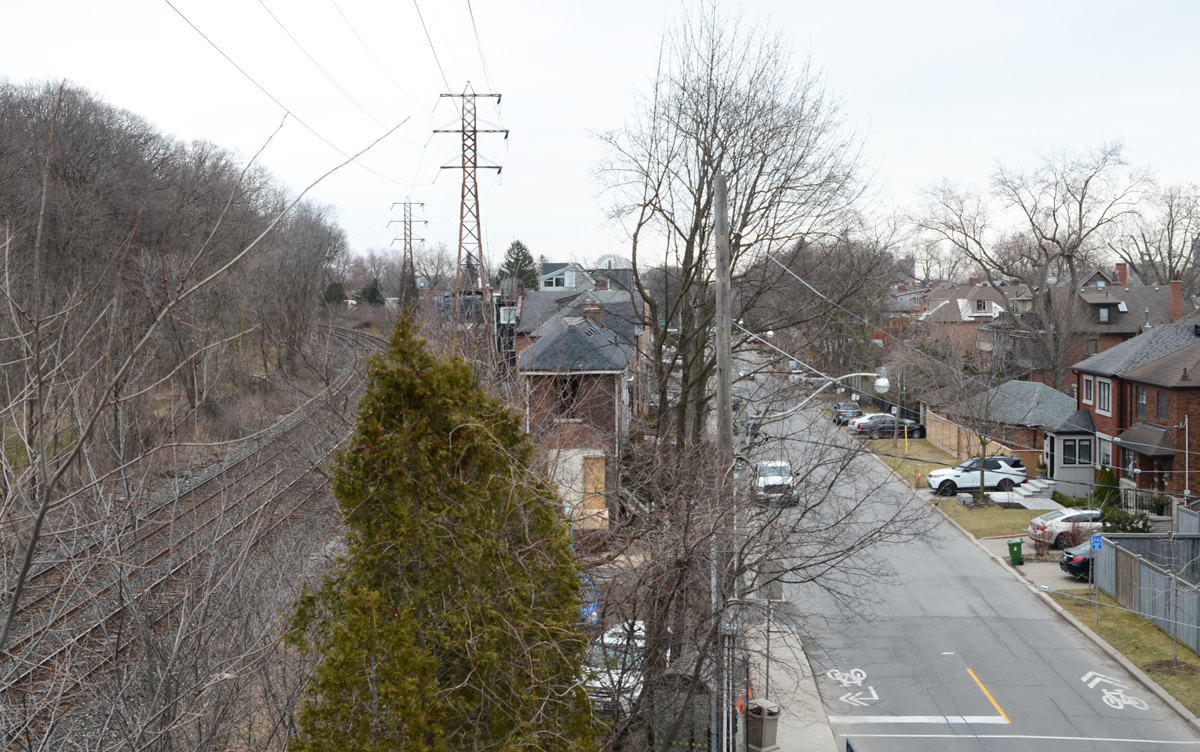
below: The bridge itself is very plain and the best part of being on it is the view. You can see (barely!) the red brick chimney of Todmorden Mills just below the two taller buildings on the left. That places those buildings at Broadview and Pottery/Mortimer which means that this view is more to the west than to the south.

below: Straight down to the path below. I shot this one blind and was pleasantly surprised to see a bright hat add a bit of life.
And back down again (you can pretend that I jumped off the bridge)
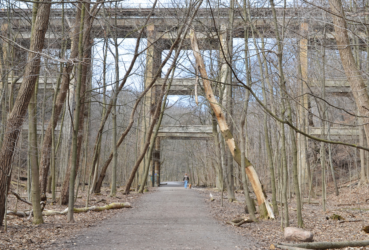
below: Just a bit farther north the trail passes under the railway tracks. You might recognize this as a railway bridge as all the Toronto railway bridges over ravines were built in a similar style (and probably all about the same time).

below: The last bridge on the Beltline before it reaches Mt Pleasant cemetery is this one, Cat’s Eye bridge.

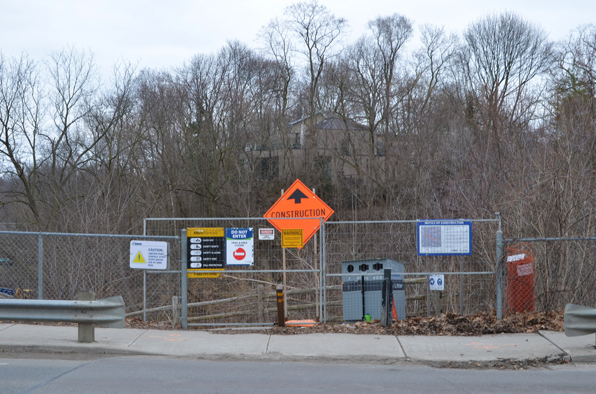
below: Unfortunately, that’s where you have to leave the trail for the time being as the path is being refurbished all the way to Moore Ave.
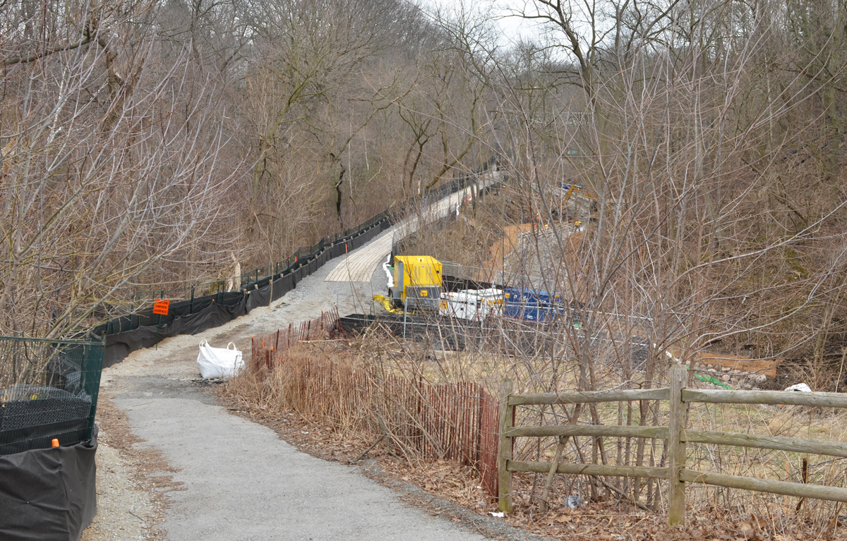
below: The Moore Avenue entrance is blocked for construction – Mud Creek Restoration Project Reach 6, completion date, summer 2020.
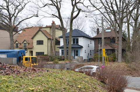
And so we leave the path there and make our way back through the neighbourhood to find my car.

below: Someone wrote this on the pavement on the Cat’s Eye bridge. I hope they’re wrong!

