Staying on the side of caution, I haven’t been on the TTC for almost two weeks. Instead, I have been using this time to venture into areas where it’s easier to drive to including some parts of the city where I rarely (if ever) go. This is the story of yesterday’s adventure.
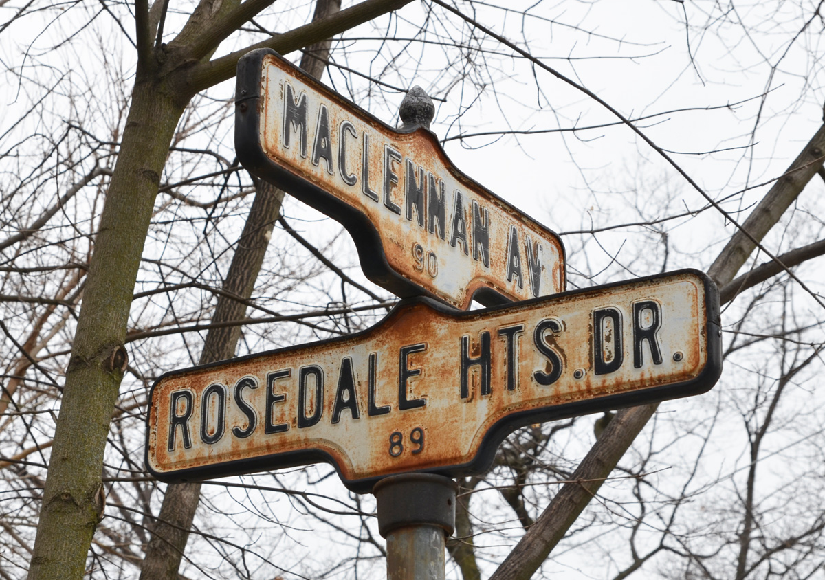
below: Two old rusty acorn-style street signs.

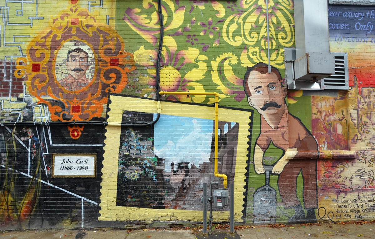
below: On the concrete embankment below the elementary school is a very faded mural.

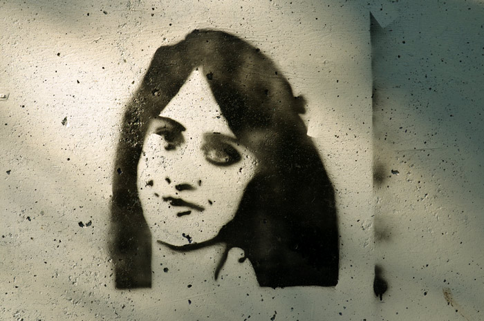
below: I doubt this car was a new model the year this mural was painted…. maybe? LOL


below: Two together, locked beside each other. Below are the CPR tracks, the same ones that run through the middle of the city from West Toronto, past the Junction and through to the railway yards at McCowan Road in Scarborough.

below: A small sliver of land between the tracks and the street, just big enough for a narrow house.

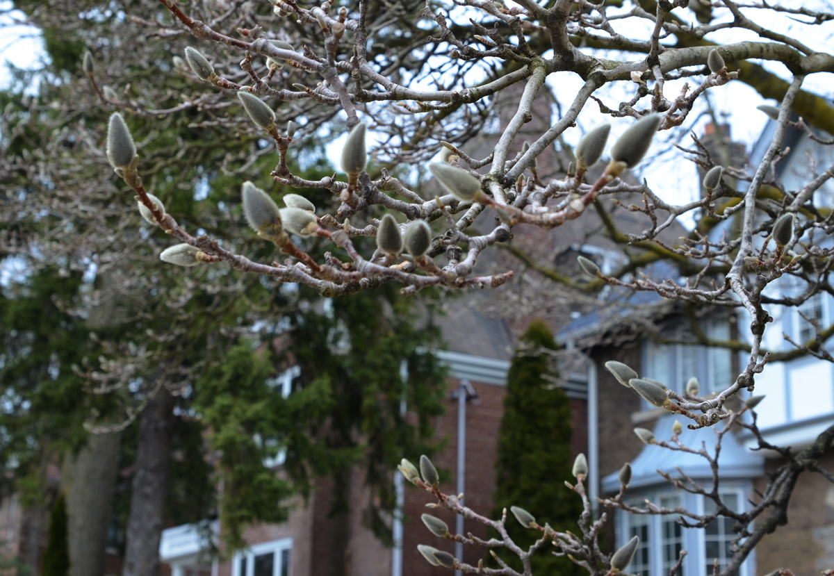
below: Magnolia buds in a front yard.
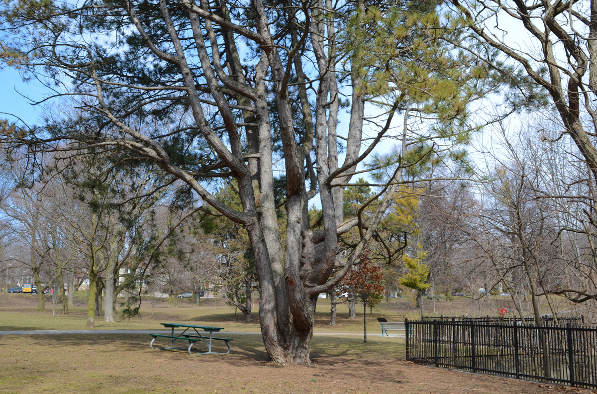
below: A very old pine tree in Chorley Park
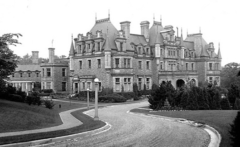
below: Chorley Park was once the site of the official residence of the Lieutenant-Governor.

below: It was built in 1915 and was modelled on various chateaux of the Loire Valley in France. In 1937 it was closed down for financial reasons – during the Great Depression of the 1930s, the annual costs of heating and electricity were the subject of political debate. The federal government bought it, using it first as a military hospital and then as RCMP headquarters. In 1960 the city of Toronto purchased the property, tore down the building, and developed the site as a park.
below: From Chorley Park there is a path that winds down the hill to part of the Beltline Trail and the Brick Works park beyond that.

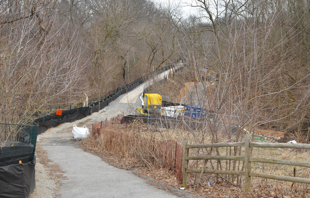
below: Part of the path down the hill is being rebuilt.


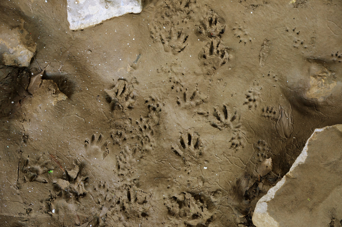
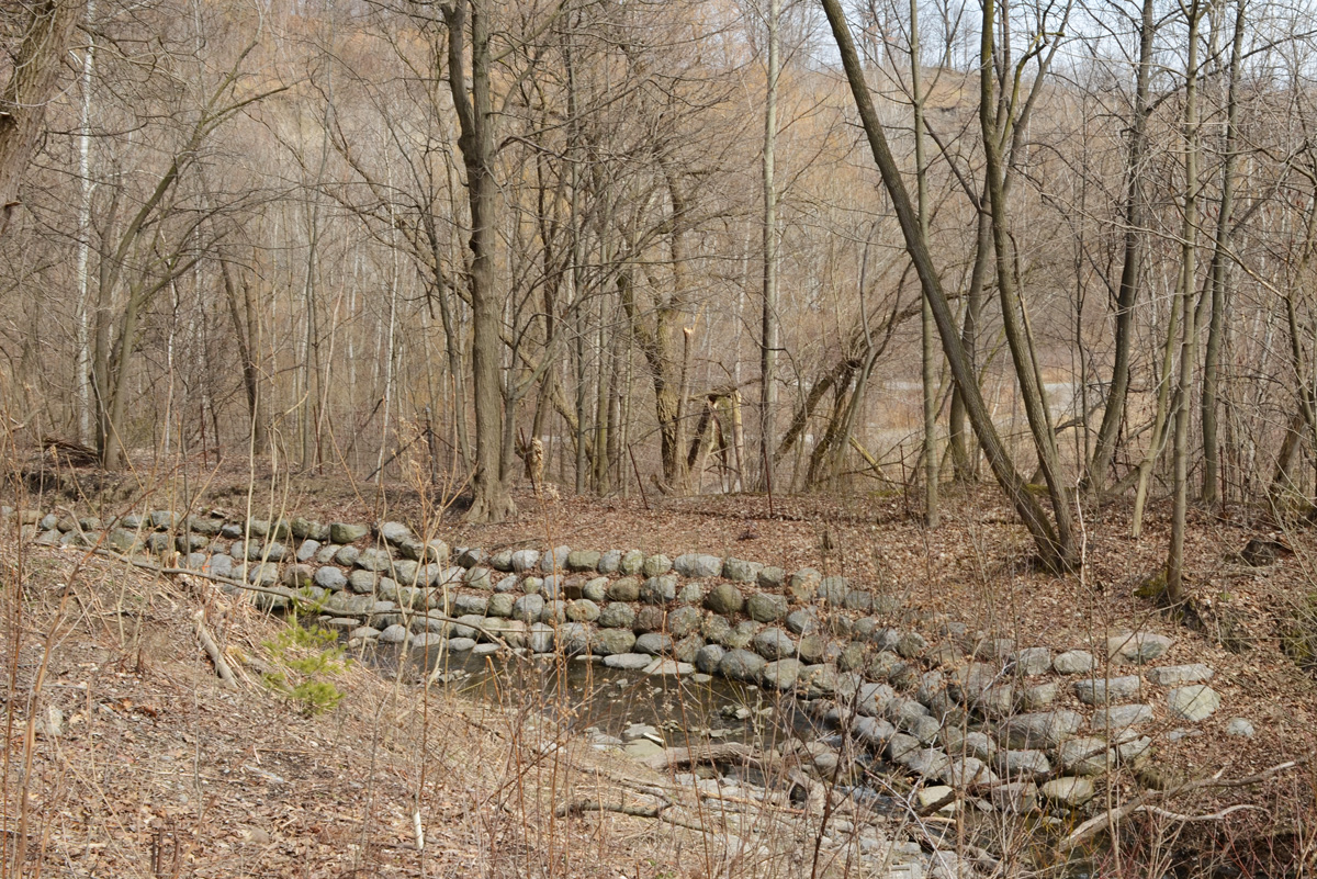
below: Mud Creek. It was about here that the word ‘dun’ popped into my head; that was definitely the word of the day… dull greyish brown colour. Mud creek, dun views.
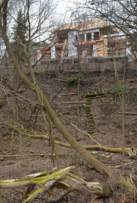
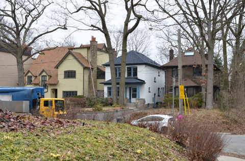
below: Maybe dun but that doesn’t mean uninteresting. It won’t be long until there are leaves and then lots gets hidden and houses like this get more of their privacy back! I’ll gladly stare while I can 🙂 I wonder if anyone uses those stairs?
below: Governors Bridge passes over the trail that I share with very few people and about as many dogs as people.

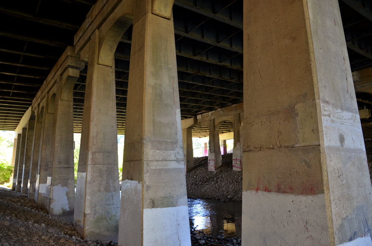
below: The street art on the concrete pillars of the bridge look fairly fresh.

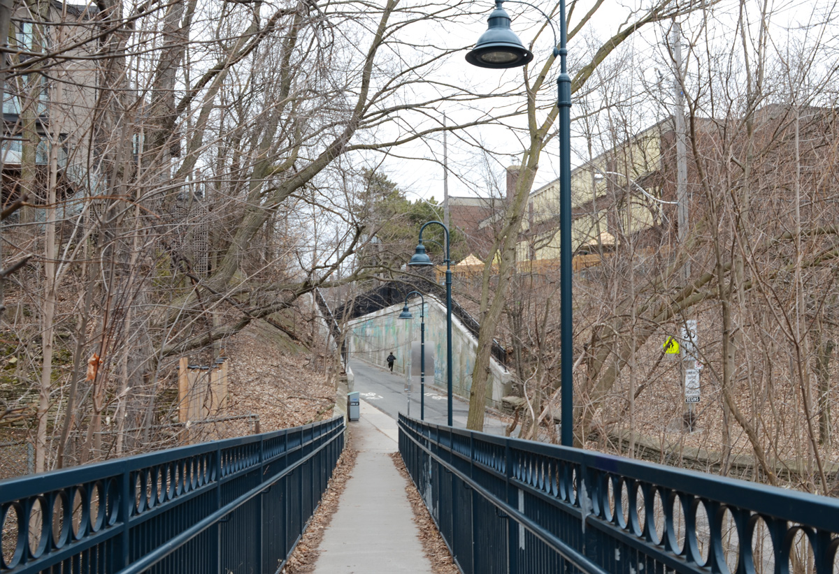
Quick diversion to the top of the bridge!
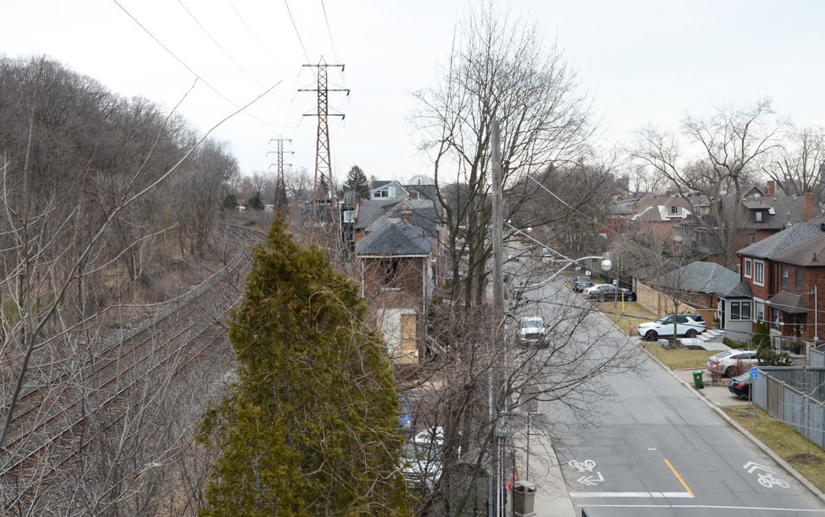
below: The bridge itself is very plain and the best part of being on it is the view. You can see (barely!) the red brick chimney of Todmorden Mills just below the two taller buildings on the left. That places those buildings at Broadview and Pottery/Mortimer which means that this view is more to the west than to the south.

below: Straight down to the path below. I shot this one blind and was pleasantly surprised to see a bright hat add a bit of life.
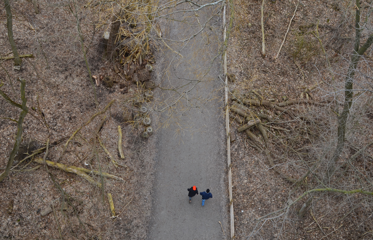
And back down again (you can pretend that I jumped off the bridge)
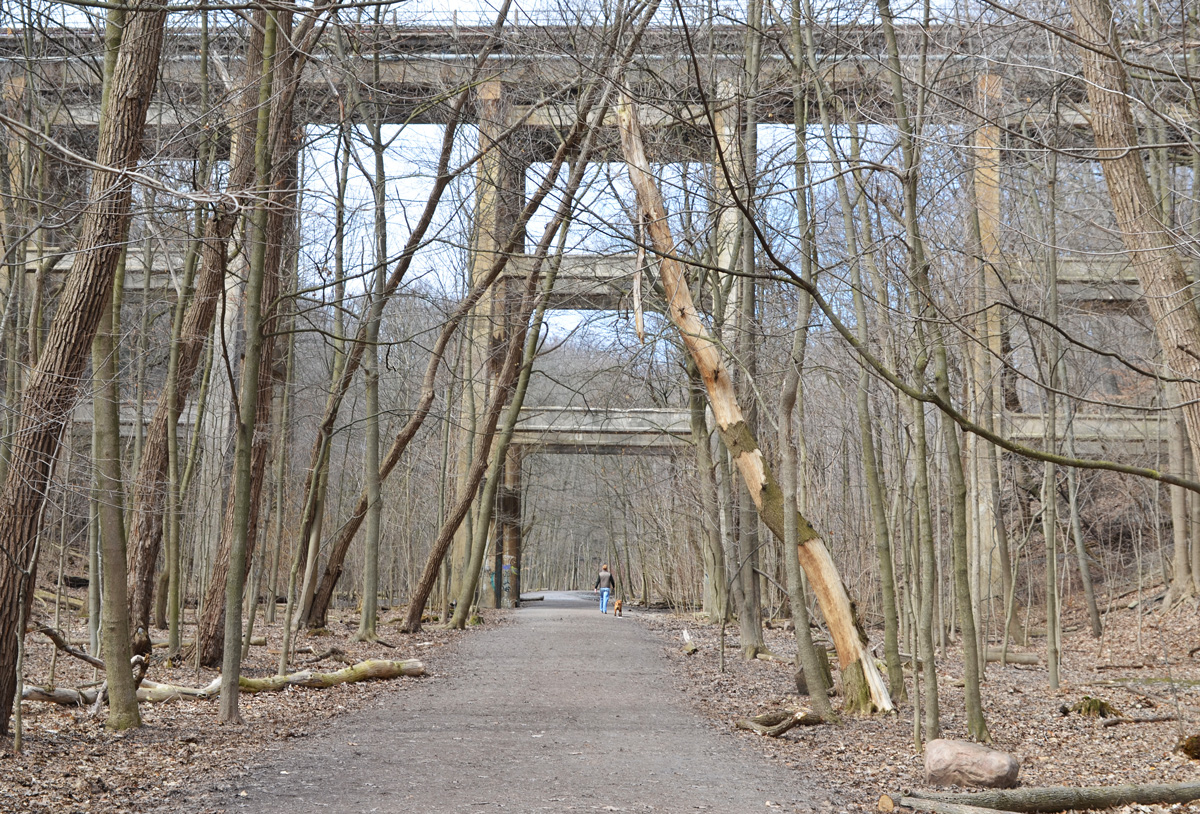
below: Just a bit farther north the trail passes under the railway tracks. You might recognize this as a railway bridge as all the Toronto railway bridges over ravines were built in a similar style (and probably all about the same time).

below: The last bridge on the Beltline before it reaches Mt Pleasant cemetery is this one, Cat’s Eye bridge.

below: Unfortunately, that’s where you have to leave the trail for the time being as the path is being refurbished all the way to Moore Ave.
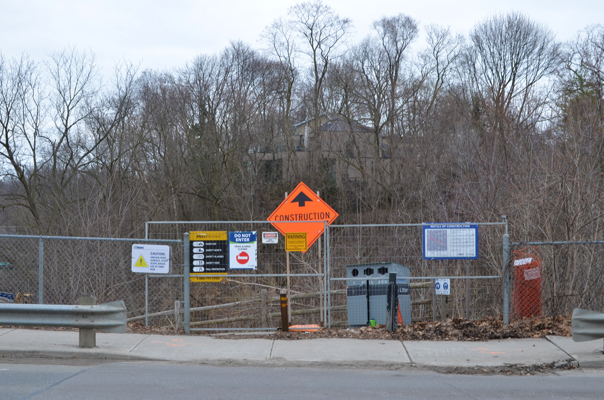
below: The Moore Avenue entrance is blocked for construction – Mud Creek Restoration Project Reach 6, completion date, summer 2020.
And so we leave the path there and make our way back through the neighbourhood to find my car.

below: Someone wrote this on the pavement on the Cat’s Eye bridge. I hope they’re wrong!