Archive for the ‘locations’ Category

below: The sparrows around Balzacs Coffee shop are as brazen as ever.  If you decide to lure them away by throwing crumbs elsewhere, the pigeons will join in the fun.

small sparrow at edge of round table, outside, balzacs coffee

people sitting outside at balzacs coffee at distillery district, yellow umbrellas,

below: East entrance to the Distillery, on Cherry Street.  I suspect that everyone who visits the Distillery takes this photo.

east entrance to Distillery District at Cherry street, with large Distillery District sign overhead

below: Part of a display of some of the products produce by the Gooderham and Worts distillery over the years.  The distillery complex built by Gooderham and Worts started producing spirits in 1862.  At one time it was the largest employer in Toronto.  It also once produce half the spirits made in Canada.

part of a display of liquor bottles, some of the gooderham and worts distillery products over the years, Ballentines, and Hiram Walker products, Government House rum,

below: There are now many old photos of the Gooderham and Worts distillery from years past scattered around the Distillery District.   This one is ” The Office Entrance”.  The door is still there, as are many other features seen in the photo.

little green metal door in brick wall at Distillery, with a copy of an old black and white photo of a distillery building

woman in pink head scarf and dark sunglasses, sitting outside brick building at distillery district, smoking a cigaretts


pride flag in a window box in the distillery

below: Approaching Parliament, with the large heart painted in rainbow colours for Pride month (June).


rainbow heart in distillery

below: Home is Toronto

black and white sign on brick wall that says home is toronto

below: Old millstone from the windmill that pre-dates the dsitillery.

large stone, round with hole in middle, plaque attached, old millstone from the distillery, made in 1832

“This millstone brought from England on the schooner ‘Kingston’ to the town of York 1832 was used for grinding grain in the historic windmill of Gooderham & Worts. The windmill stood 52 feet southwest by south of this point. It was the eastern limit of the famous ‘Old Windmill Line” on which the original plan of the city of Toronto was based.”

below: Note on the bakery door – Please make sure that the pigeon doesn’t come in with you! Patty the pigeon wasn’t there the time that I went in.

sign in a window of a door that says don't let the pigeon in when you open the door

below: The line of painted head and torsos is back.  The shapes are all the same but each has bee painted by a different artist.  They are part of the  ‘6ix Art Outdoor’ exhibit.

a woman sits on a stool in the distillery district, with a small white dog,

below: Two of the sculptures still under wraps. This is at 6least the second time that they have been on display.  They were lined up in same place last August.  If you want more information about them, I blogged about the 6ix Art Outdoor last year.  (follow link).

two painted human torso and head forms

banner of pennant shaped flags in rainbow colours, over two sculptures with human forms, torso and head

barrel of flowers on a rock wall in front of a line of sculptures

large spider sculpture in the distillery

a woman in a white dress and cowboy hat poses beside an old rusty truck

distillery district roofine

looking through a blue metal cutout of a mexican day of the dead couple, to a restaurant on the other side

locks attached to a metal structure on a brick wall, love sign in distillery

reflections in a small gallery window

a couple walking in the distillery, he has bright red dyed hair

below: The inflatable couches are there because through July there are night time showings of various movies, Italian movies for the most part I think.

a family eating ice cream while seated in the distillery district

below: Painting by Terran McNeely for Pride 2023.

painting by Terren McNeely, pride 2023, man with inverted rainbow pyramid in his hand

below: Development notice sign on Mill Street.

broken bike at bike stand on Mill Street, by blue and white development notice sign beside brick building

below: One of the buildings on Distillery Lane is being refurbished.  Yellow crane is for new development on Parliament.

view at south end of Distillery, just north of Gardiner, looking west towards CN Tower, many cranes, large billboard

below: There is now a hole on Parliament!

construction site on parliament, large hole in the ground with distillery district in the background, cranes

below: … a very big hole!

construction site on parliament, large hole in the ground

below: And I’ll end this post with a sigh…. some people

trash, used coffee cups and an empty bowl and plastic spoon, left on a window sill, flower box in front of it


front of restaurant, patio, canadian flag, happy canada day sign, rainbow umbrella

a couple stand together at the edge of the waterfront, by Lake Ontario

looking west along waterfront towards boats docked and silos at the foot of Bathurst street

Empire Sandy tall ship with three masts is moored or docked in Toronto harbour

William Lyon Mackenzie fire rescue tug, red, boat, in Toronto harbour

people on the back of a large boat, looking at man working on smaller boat moored beside it

on the waterfront, people walking past small lake cruise boat

young girl walking a dog while looking at her phone, on the waterfront, walking past a boat

a woman in bright orange shorts jogs along the waterfront in front of a green park and wood bench

the words life is beautiful written in yellow on the concrete walkway on waterfront

two people putting a red kayak in the water while a third person is in a blue kayak already on the water

kayak on Lake Ontario

looking through a rack of upside down kayaks towards the rest of the waterfront

a woman site by herself on a bench

a mother and daughter sitting on a bench eating ice cream

a man in a pink shirt takes a selfie in front of the Empire sandy boat on the waterfront

rigging, ropes and chains from a boat in the foreground, kayaks on the water in the distance

people walking past

cyclists on the Martin goodman trail

a bored looking woman witting on a concrete barrier, holding her bike in front of her, by the waterfront

a man in a white hat holds his bike, while standing

gift shop selling canada day souveniers

queens quay at waterfront, red beaver tails store and gift shop, condos, people,

three people talking, standing in a park

two young men sitting by waterfront, each reaches his hand towards the other

man sitting in red muskoka chair under yellow umbrella, toronto waterfront, sand

kids playing in a splash pad at sugar beach

kids playing in a splash pad at sugar beach

woman in thong bikini laying prone, sun tanning, sugar beach

standing by Lake Ontario, a father holds a young child while another stands beside

woman on bicycle with a trailer full of furniture

two women, one on a bike by a blue truck, on in red head scarf and black and white polka dot skirt,

The north end of Senlac Road is at Finch Avenue. It runs south through the middle of York Cemetery and the Lansing neighbourhood towards Sheppard Ave.   .

an old wood bench on a patch of grass in front of shrubs and trees

below:  Addington Greenspace (or Addington Greenbelt) is a small park on the west side of Senlac, or rather it is an access point to the city’s ravine system.  In this photo, the trail back up the hill to the street ends by a bus stop.

looking uphill along a path through the woods and ravine, Addington, to a TTC bus stop pole at the top of the trail

below: The greenspace follows a creek and passes under Addington Street before it meanders southwestward towards the Don River close  to Sheppard and Bathurst.

concrete wall on bridge, has a black happy face spray painted on it

below: Protest signs on lawns.  Back in May City Council tried passing a new bylaw that would limit what signs you put on your lawn and how many.  There were more than 30 amendments to the Toronto Municipal Code Chapter 693 (Signs).  Most of them were adopted on the 14th of June except (if I am reading it correctly) for all amendments concerning “advocacy signs”.   The council agenda item history is online.  If you check it out and find that I am wrong, please let me know!

sign beside sidewalk that says stop privitization of public hospitals

below: Although the main part of Senlac ends at Sheppard, there is a small two block section south of Sheppard slightly to the west.

utility poles and hydro wires, street signs for senlac and sheppard avenue

below: Beware of the zombies!!

no parking signs, one says zombies on duty


low rise brick building

below: Most of the area is residential – 1950s and 60s suburbia.

old white convertible with top down parked in driveway in front of a house

side view of a house, wood fence in front of it, roofline is barn shaped

lots of plants growing in blue and grey pots in front of the porch and beside stairs of a house

pink lilac bush in full bloom, by a wood fence

2 storey brick house on sheppard aveune, beside a vacant lot

old red car in driveway of a house

below: Like all older neighbourhoods in Toronto, many smaller houses are being upsized.

renovation and enlargement of a house, smaller older house beside

2 houses on a residential street

…. or torn down and redeveloped totally.

blue and white city of toronto development notice

below: An empty house.  As I was taking these pictures, a woman passing by remarked that they had been empty for seven years.  I hadn’t meant for this walk to turn into yet another redevelopment story but even here there are blue white signs along with boarded up buildings.

front porch and front door of old brick house now empty

below: This development dates from 2016.  It proposes townhouses along Sheppard but 5 multistorey (11-25 storeys) buildings behind.  Part of the reason for the delay is that the project also involves tearing down existing rental accommodation.  In June 2022 the City Planning Division recommended that City Council approve the Rental Housing Demolition application that accompanies this development.  It is 14 pages long but if you are interested in what happens when developers want to tear down rental units, click on this City of Toronto link

blue and white development notice in front yard of a house

below: Hiding behind a massive shrub, both a house and a development notice

a large green shrub obscures a house that is awaiting demolition

boarded up doors and window of an empty brick house, wood porch has rotted away

old brick bungalow with boarded up windows and door

small brick house with boarded up windows

below: This bungalow is actually on Sheppard West.  The proposal here is not for a condo, but for a 38 room hotel (in 6 storeys).

small brick bungalow with development notice in the front yard

below: Also Sheppard West.

black metal construction fence around a building site

mm

part of a blue and white sign, with the words this way and an arrow pointing left

Another sunny spring day and another walk in the city.  This time we walked along Dupont with the occasional diversion to an alley or side street.  First stop?  First Last Coffee.  Always start with coffee!  In general, this blog covers Dupont between Spadina and Ossington and as usual, there may not be much order to the photos!

pictures and signs on the wall inside a coffee hop, First Last coffee, including a sign that says coffee please

below: The transparent domed Dupont subway station at the northwest corner of Spadina and Dupont

Dupont subway station, entrance on northwest corner of Dupont and Spadina, transparent structure with dome shaped curved roof

two women waiting outside Dupont subway station, red and white TTC sign,

below: Because of the redevelopment along Dupont (some buildings have been demolished but their replacements are still holes in the ground), Casa Loma can now be seen from the street.

blue sky with chain from crane (not in picture) hanging in the foreground, a large metal utility tower in the middle, and the top of Casa Loma roofline in the distance

below: Northwest corner of Dupont and Shaw

corner of an intersection that is one big construction site

below: Someone’s comment on the construction….

Construction site entrance sign that says gate 2. someone has added the word hell so that the sign now says gate to hell

below: … And another comment – he’s so happy to have a gun that he’s drooling.

black and orange construction sign with figure of man holding sign, happy face added to head and a machine gun put in his hands, altered sign

rebar sticking out the ground, construction site, as building begins to rise from the ground

shiny hoardings around a construction site reflect the bright orange signs and cones on the street beside it

a workman in a blue hardhat cleans the street between hoardings with large photos on them and orange cones blocking traffic

workman cutting pavement on dupont,

There are quite a few construction photos, maybe more than you’d like, but construction plays a large role in the scenery along Dupont these days.

workman helping a concrete truck back up into a construction site, traffic waiting,

construction reflections in a window

vacant building beside a grassy space, red brick, tagged on the side, old grey shingle roof, boarded up lower level window, construction fence around it

below: Joe’s Convenience chaos.

below: Reflections in a restaurant window

below: Dispensary of a different kind

below: Cyclists waiting for the lights to change.

a woman with a backpack walks by a window with many reflections in it

below: No energy today (all sold out?)

looking into a large warehouse interior with lots of windows, nine window panes

below: Looking at the northeast corner of Dupont and Dovercourt.  The interior of this old industrial building has been renovated and part of it is now a basketball school.

old building, three or four storeys high, made of many small panes of glass, on the northeast corner of Dupont and Dovercourt

below: View through the window

looking through a window to young men playing basketball inside

below: The billboard at Dupont and Dovercourt features an image by Maggie Groat and was part of the CONTACT Photography Festival.  More of her work is on display at Ontario Square (on the waterfront) and can be seen in a blog post, Double Pendulum, from a few weeks ago.

billboard with image by Maggie Groat, part of Scotiabank COntact photo festival, bottom part has been tagged

below: Silver Star Car Wash – I could say that it’s all washed up but considering the time that it takes for the development process – especially in a case like this where the application involves an amendment to the Official Plan and the Zoning By-law.

silver Star car wash on dupont street with a blue and white development notice in front

below:  Although it looks like a gathering of praying mantises, it’s really a symbol of a booming construction industry, boom lifts for rent.

cranes for rent, all parked outside a rental store

below: 888 Dupont (at Ossington) is one of the next buildings to be redeveloped but that is for another story on another blog post.

tall blue crane on construction site next to glass industrial warehouse building from 1921 at 888 Dupont street

below: An old rusty sign on the side of a building in an alley just off of Dupont tells us that J.F. Spencer, Sheet Metal Worker, once worked there.  old sign on the side of a building in an alley near Dupont street,

four houses on Dupont street

below: Looking along Dupont from Delaware Ave

Dupont street looking west from Delaware Ave

three two storey houses on dupont street

below: Probably the most affordable house on the street!

a small playhouse surrounded by leaves, in the side yard of a house

below: Some people have rose bushes in their front yard…

lone two storey house on Dupont, with large rose bush in front of it

below: … and some people have horses.

sculpture in a front yard of a horse up on its hind legs

below: A seaside Nova Scotia scene by Megan Oldhues.

mural on the side of a garage of a Nova Scotia waterside scene, sailboats, dock, flag,

grey car parked beside a garage with street art mural painted on it. Lots of red, orange, and yellow, blob-like characters

I’ll end this post with a few photos of the graffiti that I saw starting with this old Lovebot.

older Lovebot paste up on a grey brick wall, part of top of head has worn away

below: A pinkish red portrait of a young woman.

red stencil of a young woman's portrait

paste up graffiti on a metal pole, beside a wood pole full of old staples, black ink on paper paste up that says gewn 2020 squid

 below:  Voodoo Ninja, brought to you by Urban Ninja Squadron along with Ave Rage (or maybe it’s Average) who gets to play the victim.

4 paste ups on a box, all black on white. One is an urban ninja squadron collaboration with ave rage, and three are inky blotty drawings


old window in an old brick bilding, with street art that is peeling around the bottom part of the window

scrawled graffiti, happy face

pink rose on a large rose bush

until next time…. stay focused! … if possible….

small blue car parked on Dupont, with Ontario licence plate that says unfocused

This row of old two storey row houses has been vacant for years. Recently the developer that owns the properties provided a couple of Toronto artists the opportunity paint the exterior.  This is the result.

large street art painting by nick sweetman and luvs aka moises on a row of empty houses at Broadview and Eastern

If you look carefully, you can see that Nick Sweetman and Luvs (aka Moises) have painted the word CHANGE across the front of the buildings.   As a theme for a mural on a redevelopment site in a city bursting at the seams with such sites, change seems very appropriate.

below: I’ve played with the colours a bit to highlight some of the letters.  You should be able to see C, H, and A across this image.

part of a street art mural with the word change written in gold and yellow on a multi coloured background, on old houses with boarded up windows

But the mural is more than colour and letters.  There are three animals featured here – pigeon, raccoon, and coyote  – all of which have adapted to changes and now thrive in urban environments.

below: A blue pigeon

street art mural of a large blue pigeon on the side of an empty old house

below: A pinkish marroonish reddish raccoon

a large street art raccoon on an old house, part of a mural by nick sweetman and luvs moises

below: A coyote with a dead leaf and new buds.

large mural with a coyote face, a large dead orange leaf,

Funding provided by Streetcar Developments

a row of old brick houses with boarded up windows has been covered with a large mural

upper window of an old vacant house now covered in many colours, mural

below: The houses to the north….

row of houses on the east side of Broadview near Eastern, two story, peaked roof,

poster on a boarded up window that says so far so good

Photos taken 25 May 2023

TTC streetcars on Dundas at Yonge street

two men talking, one holding a large white banner with blue chinese writing on it.  Some English words, Heaven will soon eliminate the CCP, secret china .com and epoch times,

small group watching a street performer at yonge and dundas, one black man is holding a guitar, a woman with a phone, another man putting a coin into a can

four men standing on the sidewalk watching a street performer

sign on Comics Cafe, store now closed, with C in Cafe missing, a picture of superman

a woman in a red jacket stands in the doorway of a double decker tour bus as a man walks past

woman in short shorts and fuzzy brown slippers waits for a bus

man yelling in Japanese, wearing black outfit and a head band with large red dot on it, beside sign that says

people looking at comic books tht are lined up on a cloth on the sidewalk, for sale

man standing on sidewalk with dog on a leash, looking at his phone

a garbageman in orange t shirt and large black bag walks past intersection of Yonge and Dundas, cyclist waiting for the traffic light to change

two young women smiling as they watch street performer

a woman wearing a blue dress and a hat walks past a store window with many reflections

two men talking together, one has a long white beard and white hair

an older black man is sticking his hand in a fountain at Yonge and Dundas

Part of Port Lands redevelopment.

Almost a year ago, a number of photos of the Port Lands work were installed along Villiers Street, “How to Build a River”.  This is at least the second exhibit by Vid Ingelevics and Ryan Walker in this location.  The prior set of images can be seen in a post from 2020, “the new Cherry Street bridge“.  It was part of the Contact Photography Festival for 2022.   I realize that it is now 2023 but I had forgotten about this exhibit until last week when I was walking in the area.

Here are some of the photos along with a few other details seen on Villiers Street.

below: “Sand and Charcoal”

photo by Vid Ingelevics and Ryan Walker of Port Lands redevelopment

a line of different coloured oil drums along a chainlink fence, wood fence behind

below: “Stratified River Ingredients”

photo by Vid Ingelevics and Ryan Walker of Port Lands redevelopment

hydro pole with metal remnants, overgrown with vines

below: Meander

photo by Vid Ingelevics and Ryan Walker of Port Lands redevelopment

below: Eastward on Villiers Street

north side of Villiers street, east of the Keating Channel pub

below: Crib Wall 3
photo by Vid Ingelevics and Ryan Walker of Port Lands redevelopment

no smoking sign on link fence beside a gate locked with two chains, one rusty and one newer. Also a hand painted sign that says don't park in front of the gate

below: “Layering Membrane”

photo by Vid Ingelevics and Ryan Walker of Port Lands redevelopment

a man in a yellow Toronto jacket rides his bike down Villiers street

below: “Transplanting #1”

large photograph by Vid Ingelevics and Ryan Walker mounted like a billboard on Villiers street

looking west along Villiers street to the large Lafarge cement silos at the end of the street, dirt and puddles in the median between the two lanes of traffic, a divided road

below: “Transplanting #2”

large photograph of a man transplanting plants and trees, in an orange vest, on the door of a silo

You might not be able to see these images any more. It is now May 2023 and there is another Contact Photography Festival that has just begun. Ingelevics and Walker have a newer exhibit planned which was scheduled to be installed for the 1st of May. Chances are this newer exhibit will stick around for a while too!


Ontario Science centre from the south

Rumours swirling that is…. because the Ontario Science Centre has been in the news lately.  Doug Ford (and the Provincial PC’s) have said that they are going to move it from its Don Mills and Eglinton location to Ontario Place down by the Exhibition Grounds.  What then becomes of the Science Centre LRT station?  It hasn’t even opened yet and its already obsolete?  And needs a new name?  …..that’s assuming that the Eglinton Crosstown LRT ever gets done.  But hush, no one is talking about that, that’s a secret……

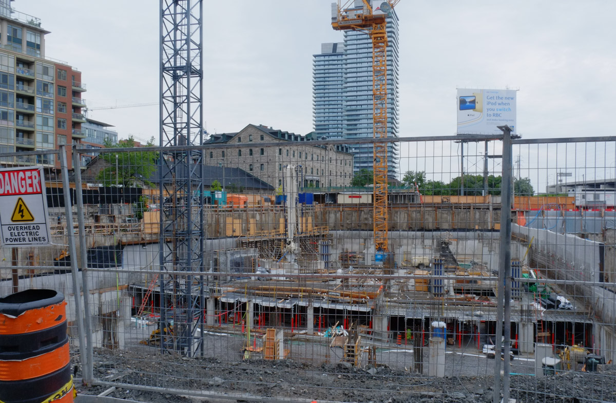
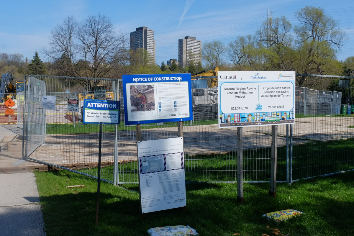
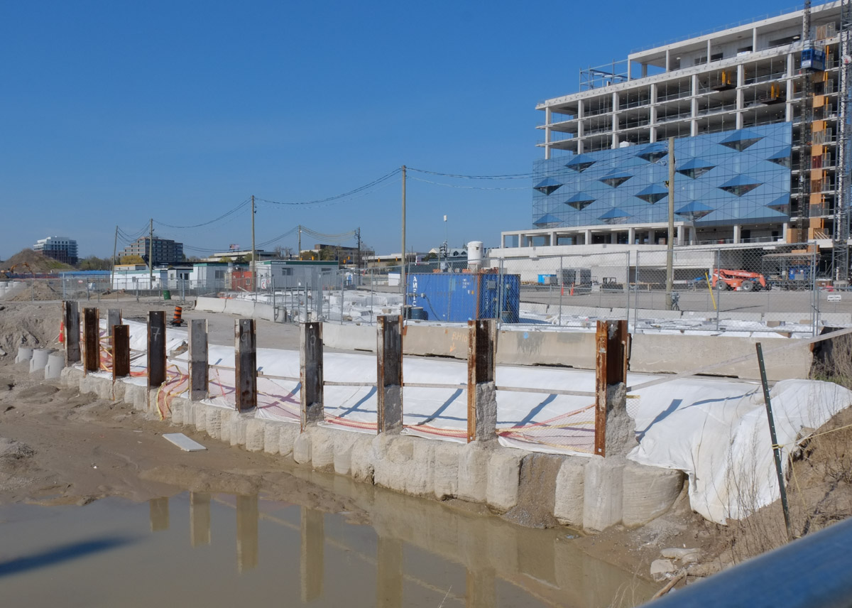
below: Behind fences, the new Science Centre LRT station and transit hub remains unfinished.  It is a very quiet construction site.  Not a soul to be seen.

metal construction fence in front of the science centre lrt station that is being built at Don Mills and Eglinton,

One of the arguments for moving the Science Centre is to open up the land for housing.  Let’s ring some bells and say ‘housing’.   Who can oppose housing, right?

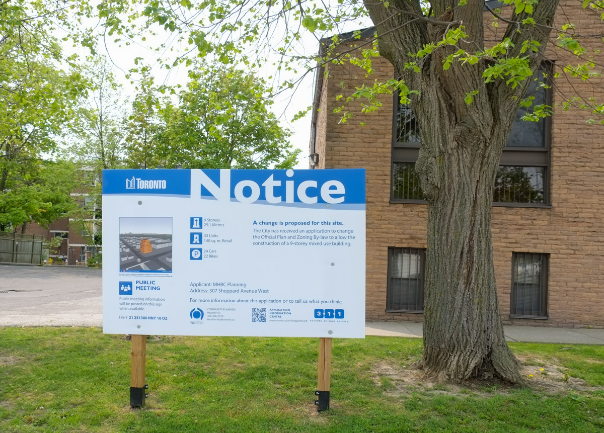
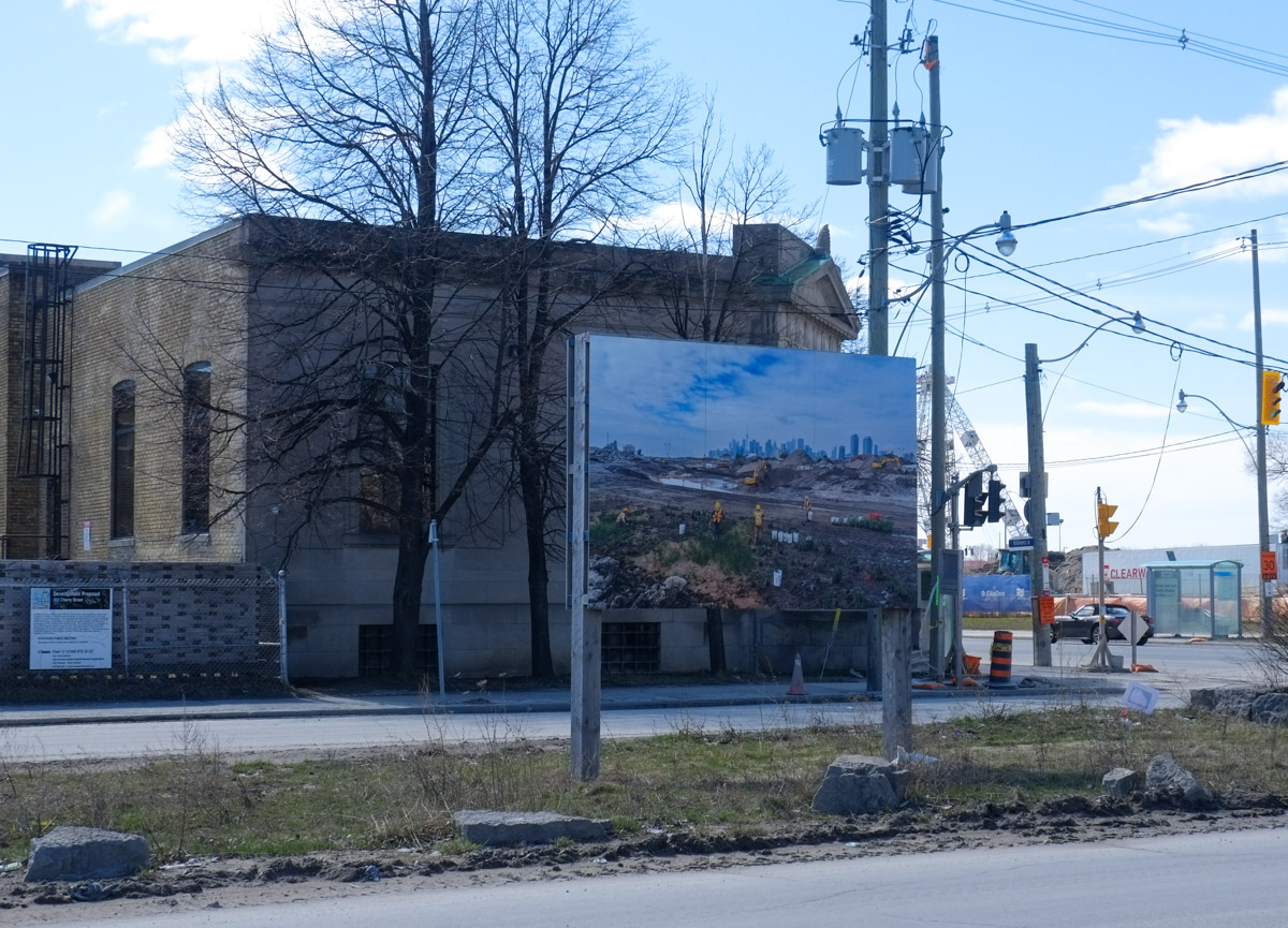
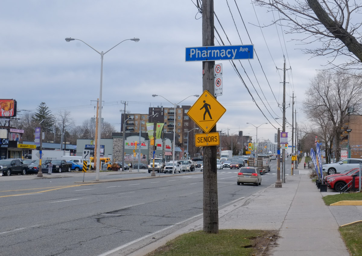
below: This is southeast corner of Don Mills and Eglinton where a development notice stands.  Apparently two towers are planned for this location – 26 and 48 storeys high. (The Science Centre is on the west side of Don Mills Road).

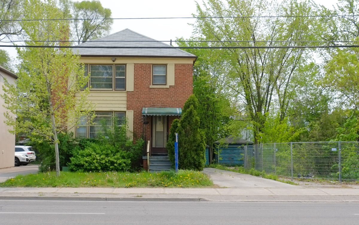
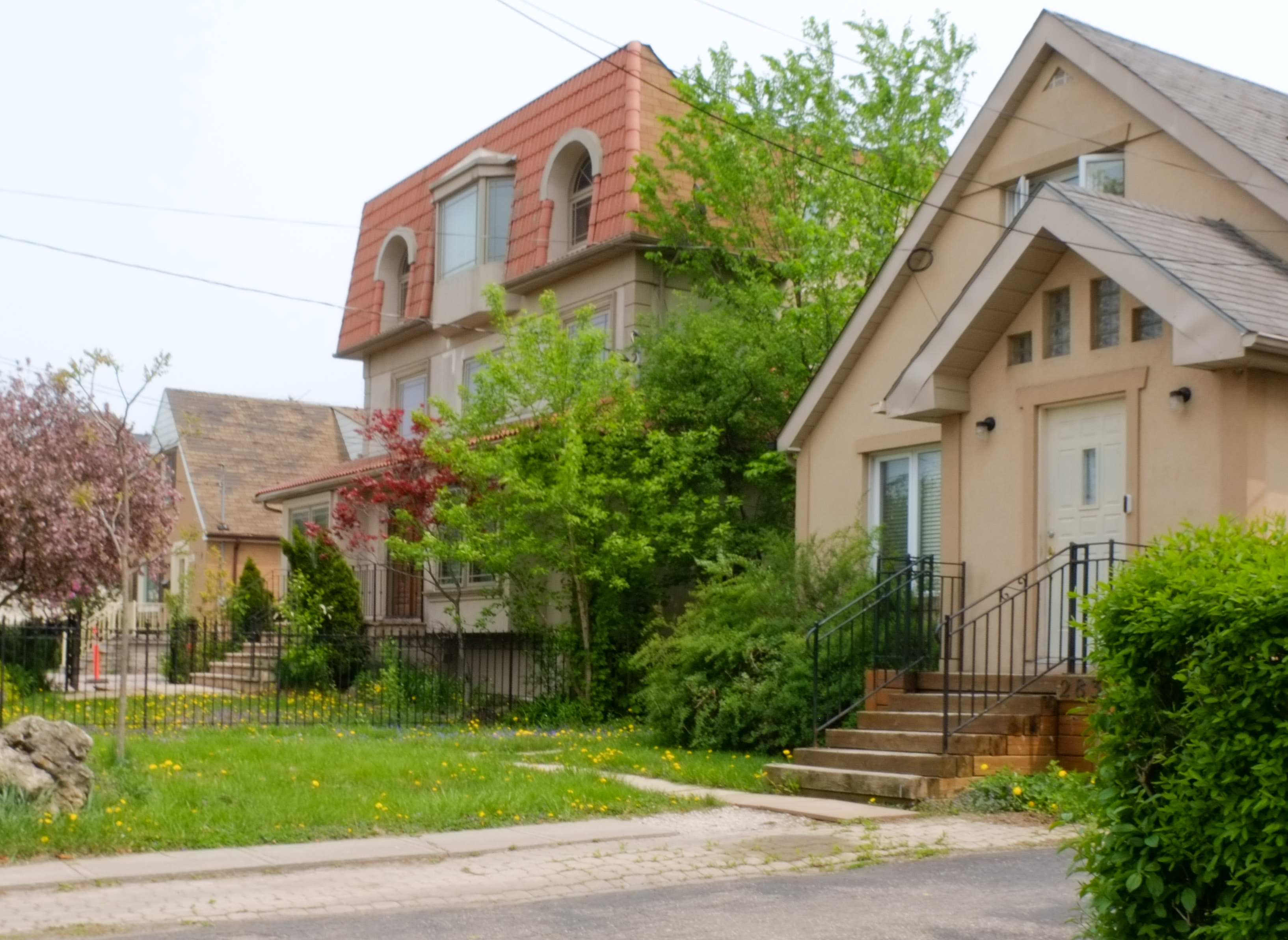
In fact, on the east side of Don Mills Road, south of Eglinton (i.e. across the street from the Science Centre), there are two other properties with development notice signs.

brick townhouse row with a blue and white development notice in front, Don Mills Road, St. Dennis Drive

Four new towers, as infill, have been proposed for these sites.

brick highrise apartment building on Don Mills Road with development notice sign in front of it

AND

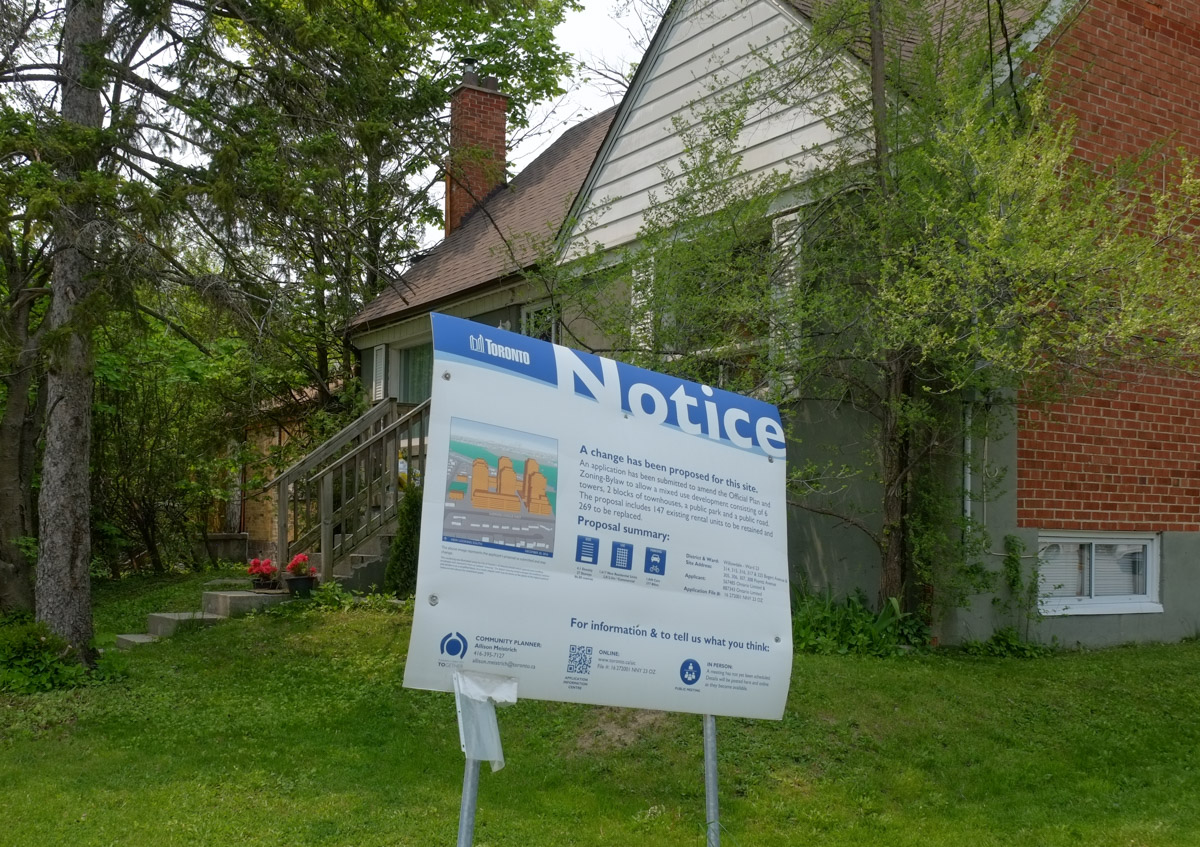
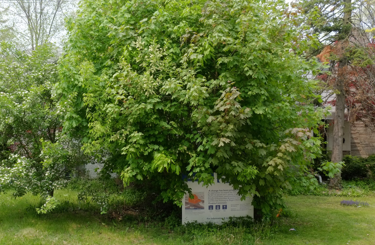
What is now the upper parking lot for the Science Centre is already on the books as new housing.  This is at the southwest corner of Don Mills and Eglinton.   The sign may have been flattened but that doesn’t make the plan disappear!

blue and white development notice sign lying on the ground in the shade under some trees, trash around it

below: Blocked sidewalk on the south side of Eglinton, upper parking lot is on the left side in the picture

orange signs on sidewalk saying sidewalk closed ahead

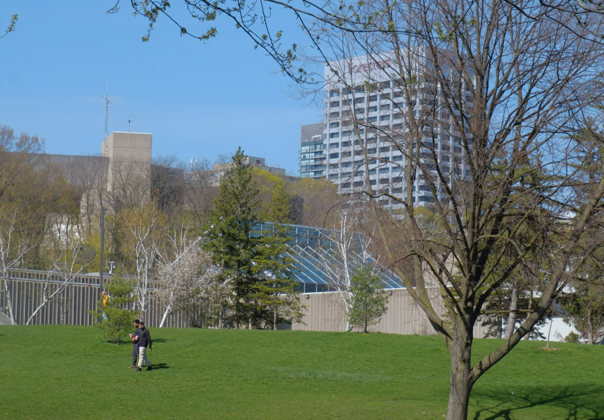
below: View looking south from the upper parking lot towards the Science Centre

view from upper parking lot of science centre which is empty, past line of tall evergreens, to lower parking lot and buildings

green exit sign with an arrow pointing to the right on which someone has written there's no, sign now says there's no exit

AND (Yes, there’s more)

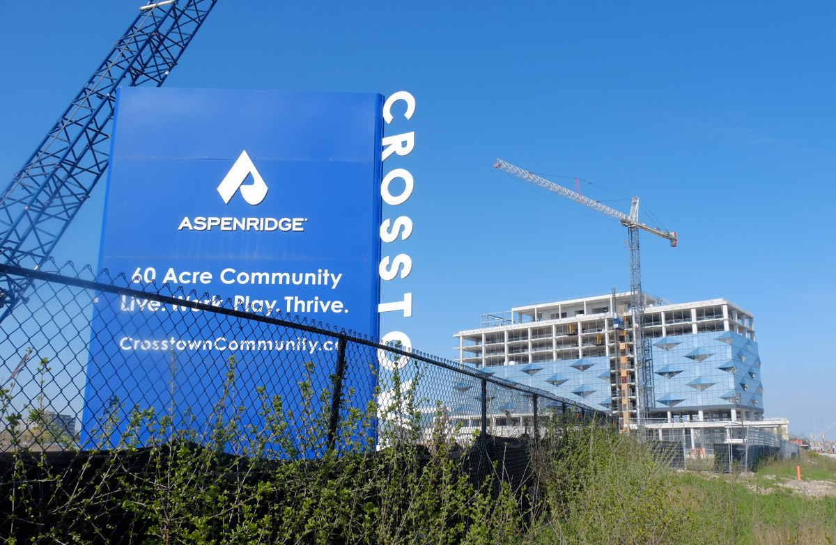
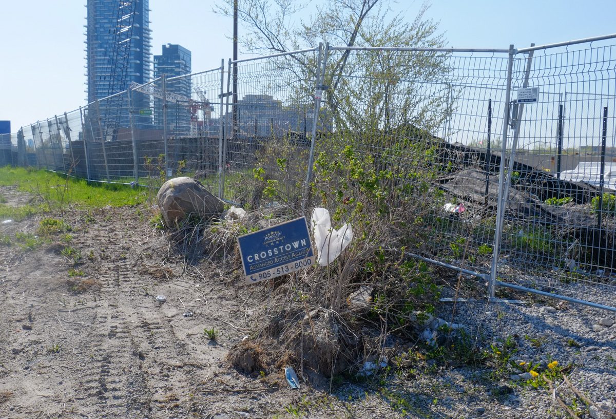
There is a 60 acre development on the northwest corner of Don Mills and Eglinton (the old IBM/Celestica site) that is in the midst of being transformed into the Crosstown neighbourhood.

new construction at Aspenridge crosstown development

below:  This is a picture that I found (and have blatantly swiped from) on an Urban Toronto web page – It shows the development and infill at Flemingdon Park  among the existing structures. The planned buildings are slightly transparent – perhaps 14 of them?? (and that doesn’t include all of Crosstown)  The Science Centre is bottom centre.

image taken from urban toronto site showing development at Don Mills an Eglinton

So which developer whispered sweet nothings in Doug Ford’s ear?

Who thought that moving the Science Centre was a good idea?

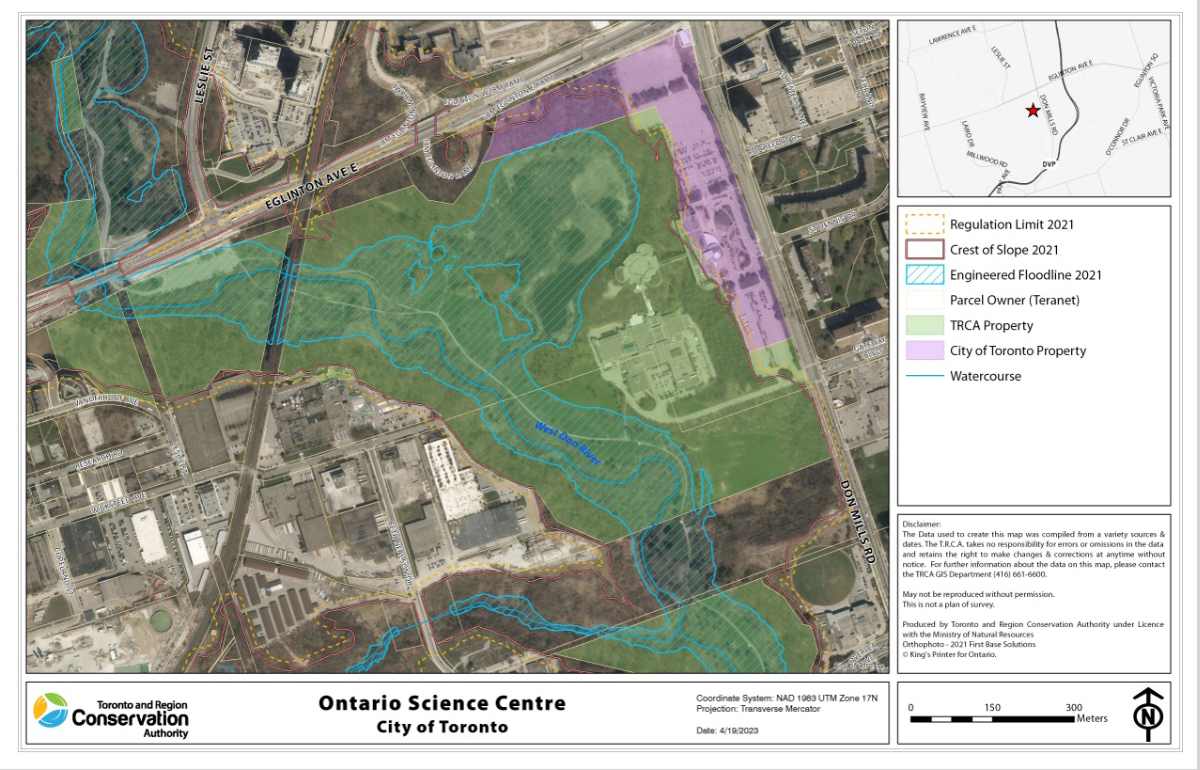
Who owns the land now? Did you know that 81 acres of the land that the Science Centre is on is owned by the TRCA?  That’s the Toronto Regional Conservation Authority.  The rest of the land (a tiny sliver along Eglinton & Don Mills) is owned by the city of Toronto.  TRCA  and the City of Toronto jointly leased the property to the Ontario Science Centre for a 99-year term, expiring on June 30, 2064.

The TRCA owns the land because of the terrain – steep slopes, ravines, and waterways – i.e. not land suitable for housing.  Doug Ford’s announcement came as a surprise to the TRCA – but does that surprise anyone?

below: Another image that I found online that describes the area better than any words that I could write.  This is a map of the area showing who owns what.  Source: TRCA website

map of Don Mills and Eglinton showing ownership of the land by TRCA and city of toronto

BUT

What else is happening here?

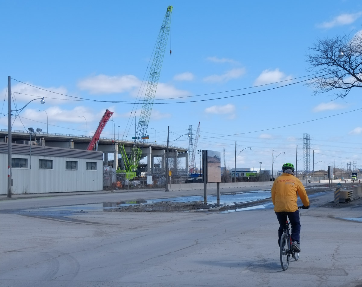
The new subway/LRT line, the Ontario Line, Doug Ford’s favorite line, is also being built here.  It is the transit line that runs south from the Science Centre to close to the lakeshore before turning west through downtown (Queen Street closed for 4 years for construction!!) and ending at Ontario Place.

Work has already started in the ravine south of the Science Centre where there will be stops for both Flemingdon Park and Thorncliffe Park.  The whole north section of the Ontario Line will be elevated.  Between the Science Centre and Flemingdon stations it will run above the street and sidewalk (Don Mills Rd).  At some point between Flemingdon and Thorncliffe Park there will have to be a bridge over the West Don River.

pink sign on construction fence in park that is for Ontario line, transit construction

signs around a construction site, ravine erosion mitigation work, as well as drilling for new subway line

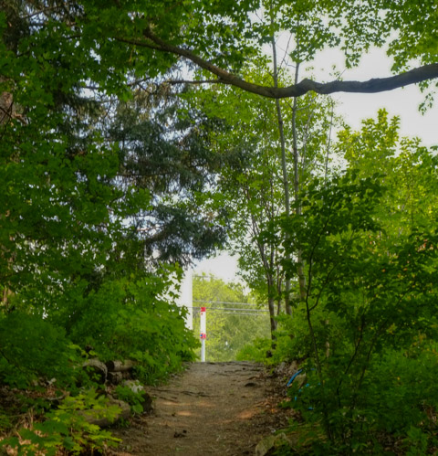
below: Where the Science Centre meets the West Don Trail

two men walk across the grass where the West Don Trail meets the Science Centre south entrance, spring, green grass, some buds on trees

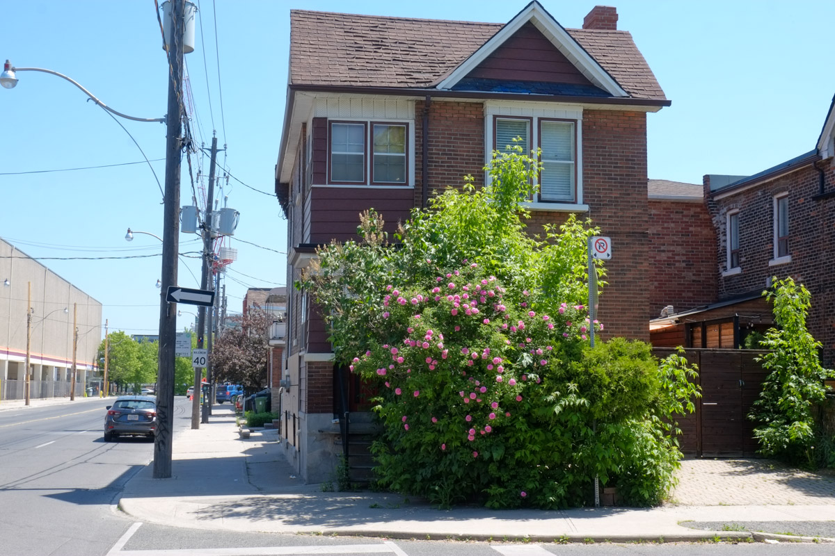
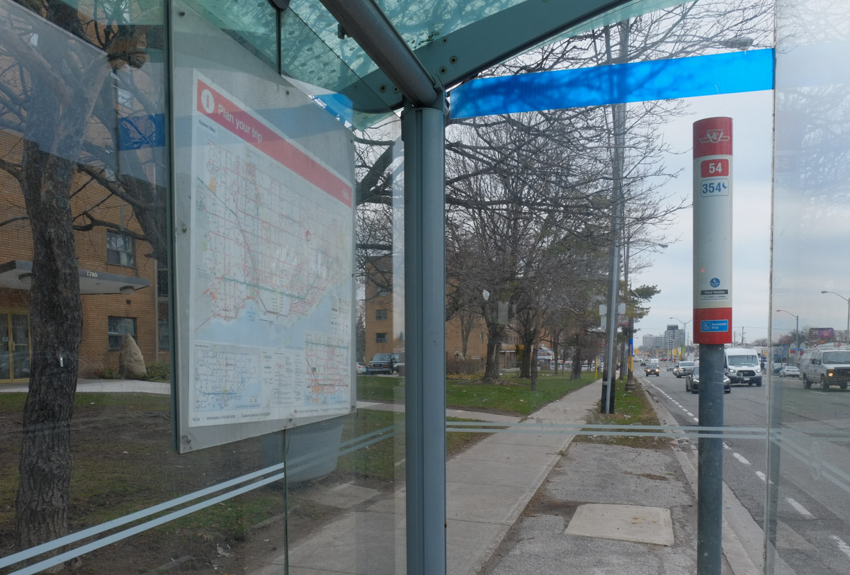
Some other photos from the area

science centre exterior

view from entrance of science centre, curved outdoor stairs, apartment building in background

below: The Science Centre has interesting trash bins on its grounds.  Maybe they could teach the city a thing or two?

trash bin, metal, with colourful picture on the side

Ontario Science Centre banner on a pole on Don Mills Road with traffic and larger buildings in the background

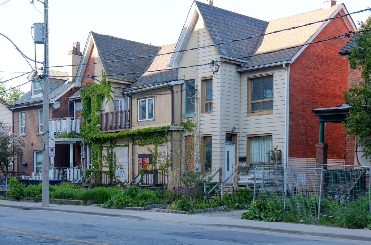
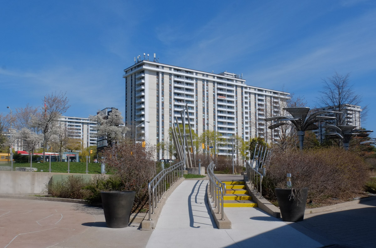
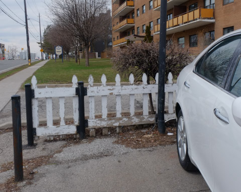
below: West side of Don Mills Road

west side of Don Mills Road at Eglinton, new glass covered building on north side is partially completed, new science centre station entrance behind metal fence on south side

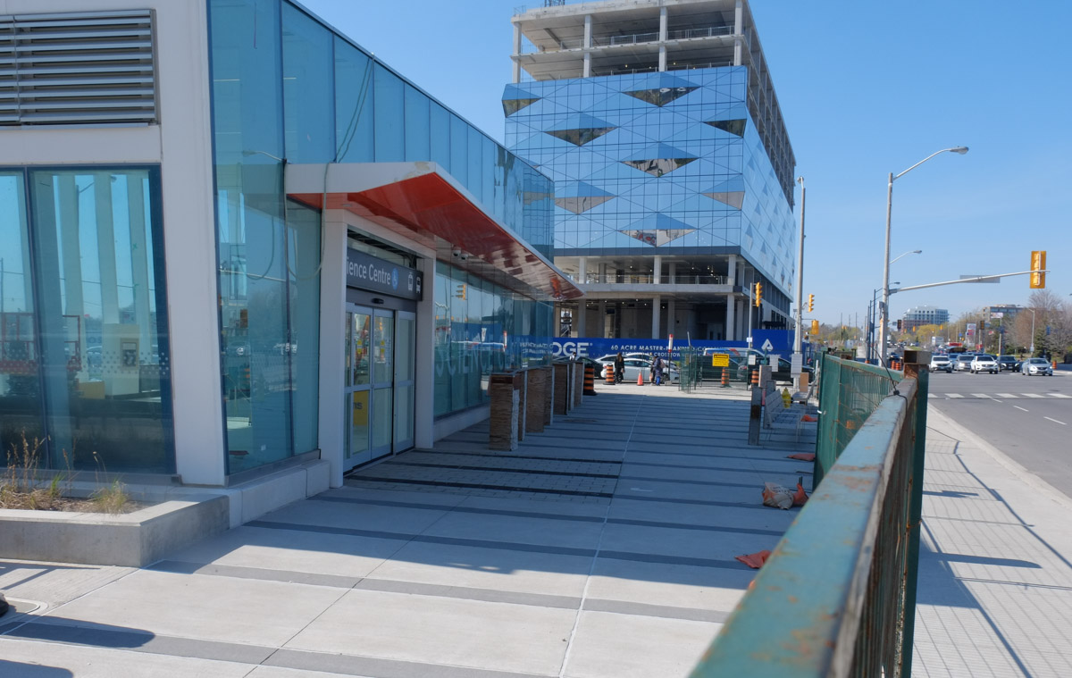
below: The southwest entrance to the Science Centre station from another angle

new entrance to Science Centre LRT station at Eglinton and Don Mills

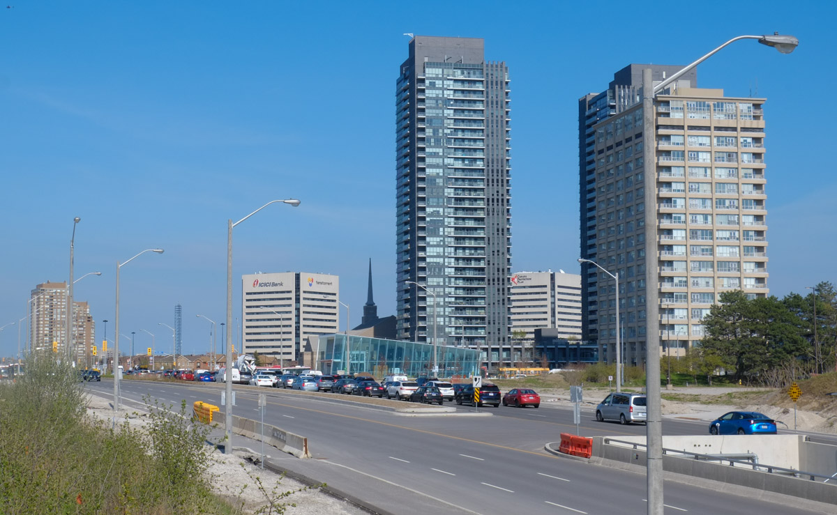
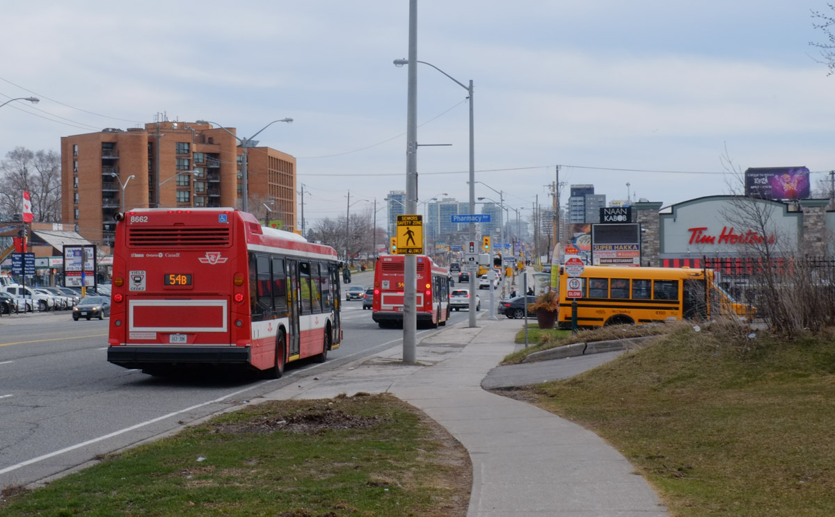
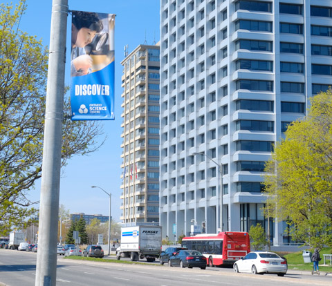
below: Looking west on Eglinton towards Don Mills

looking east on Eglinton Ave towards Don Mills Road and new science centre station on the south side

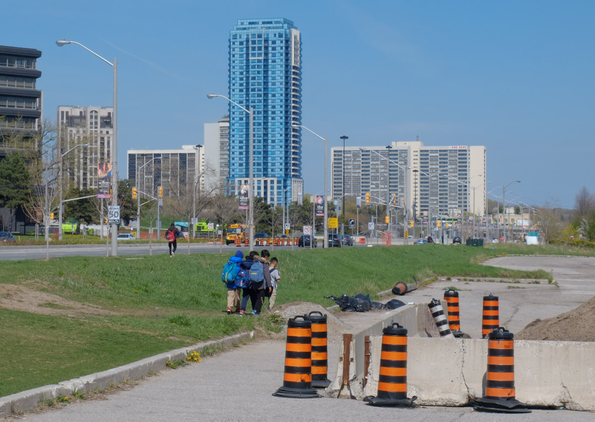
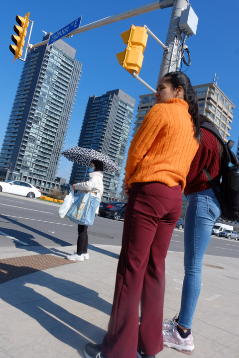
below: Walking home after school

a small group of boys walking along the grass beside Eglinton Ave on the east side of Don Mills

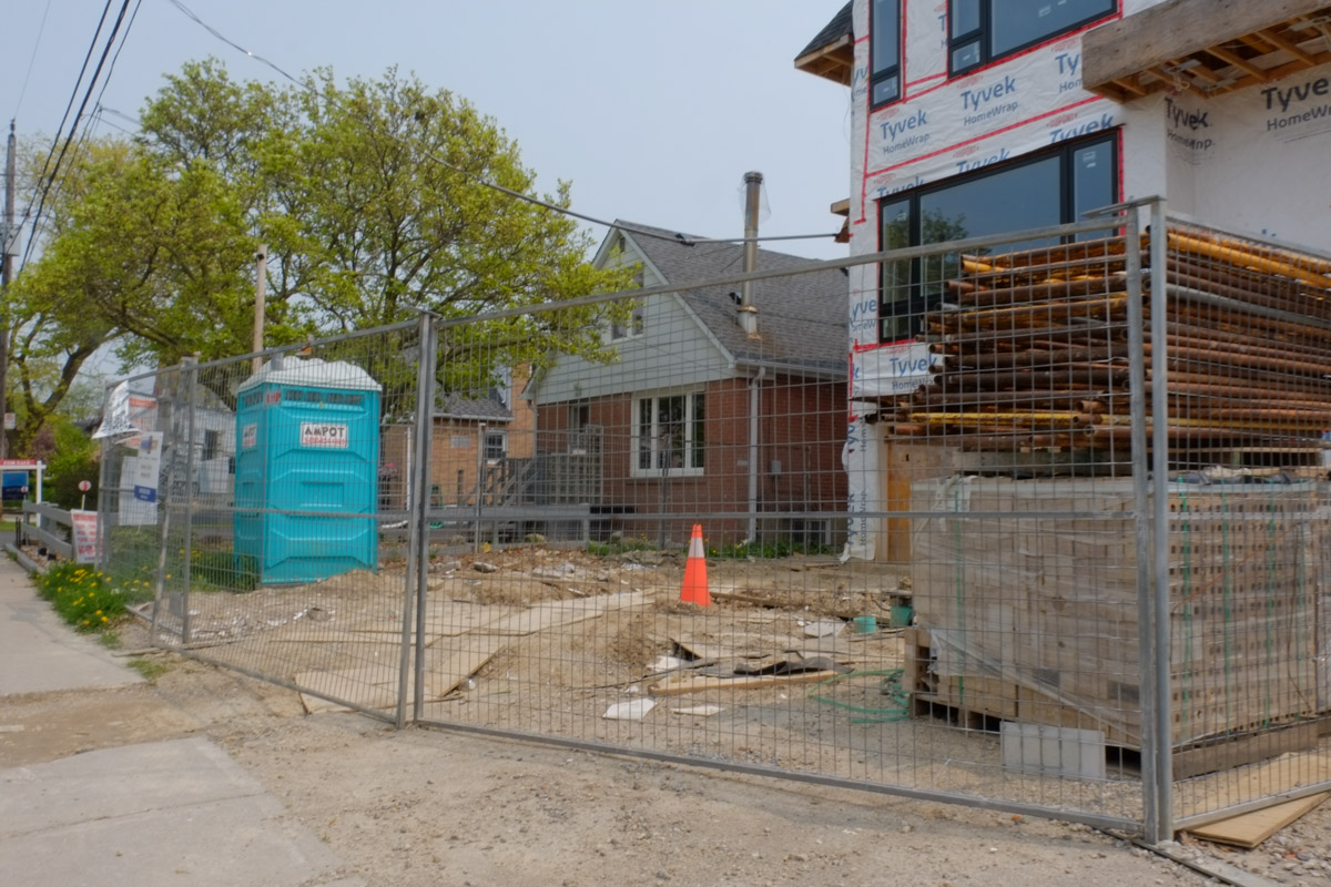
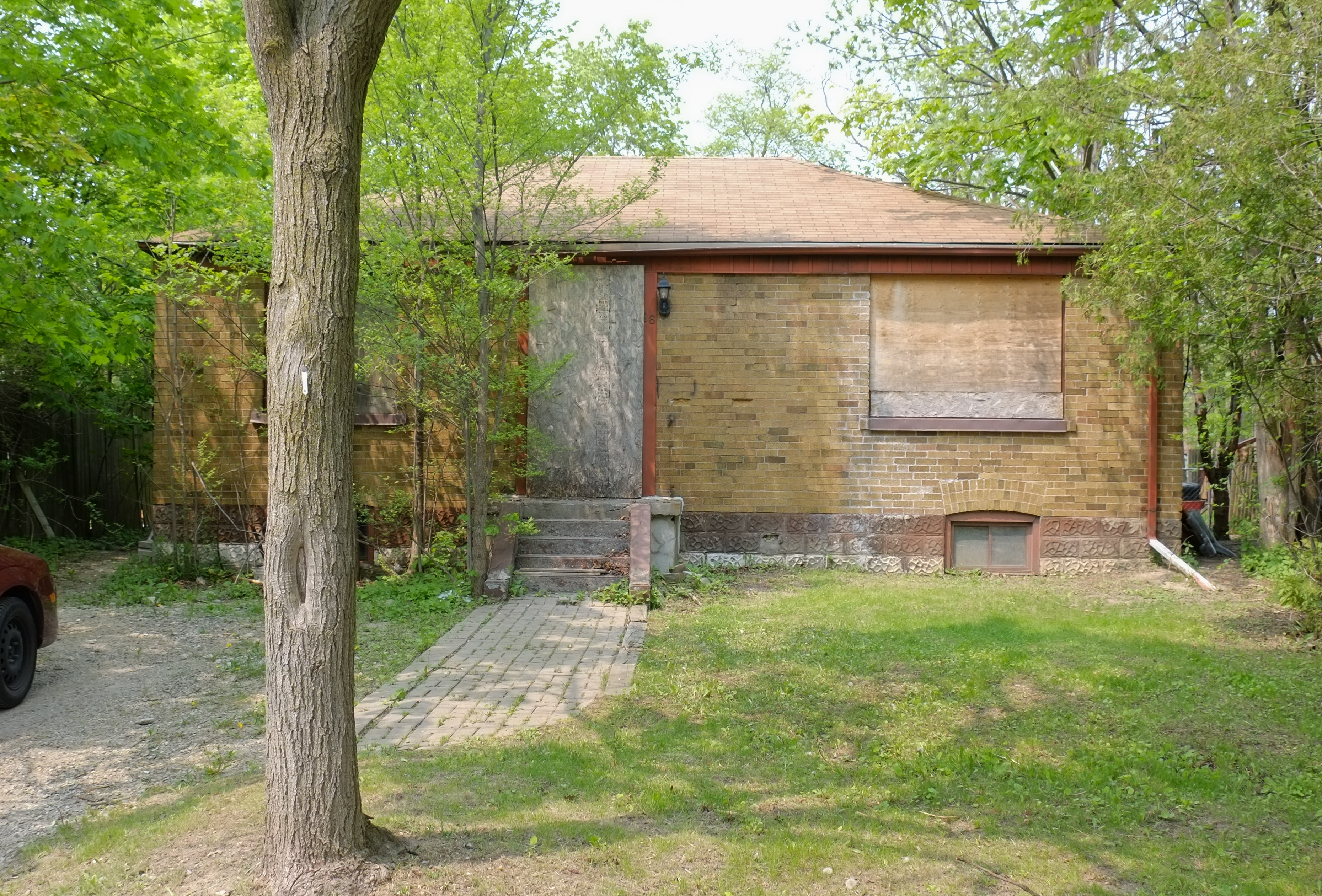
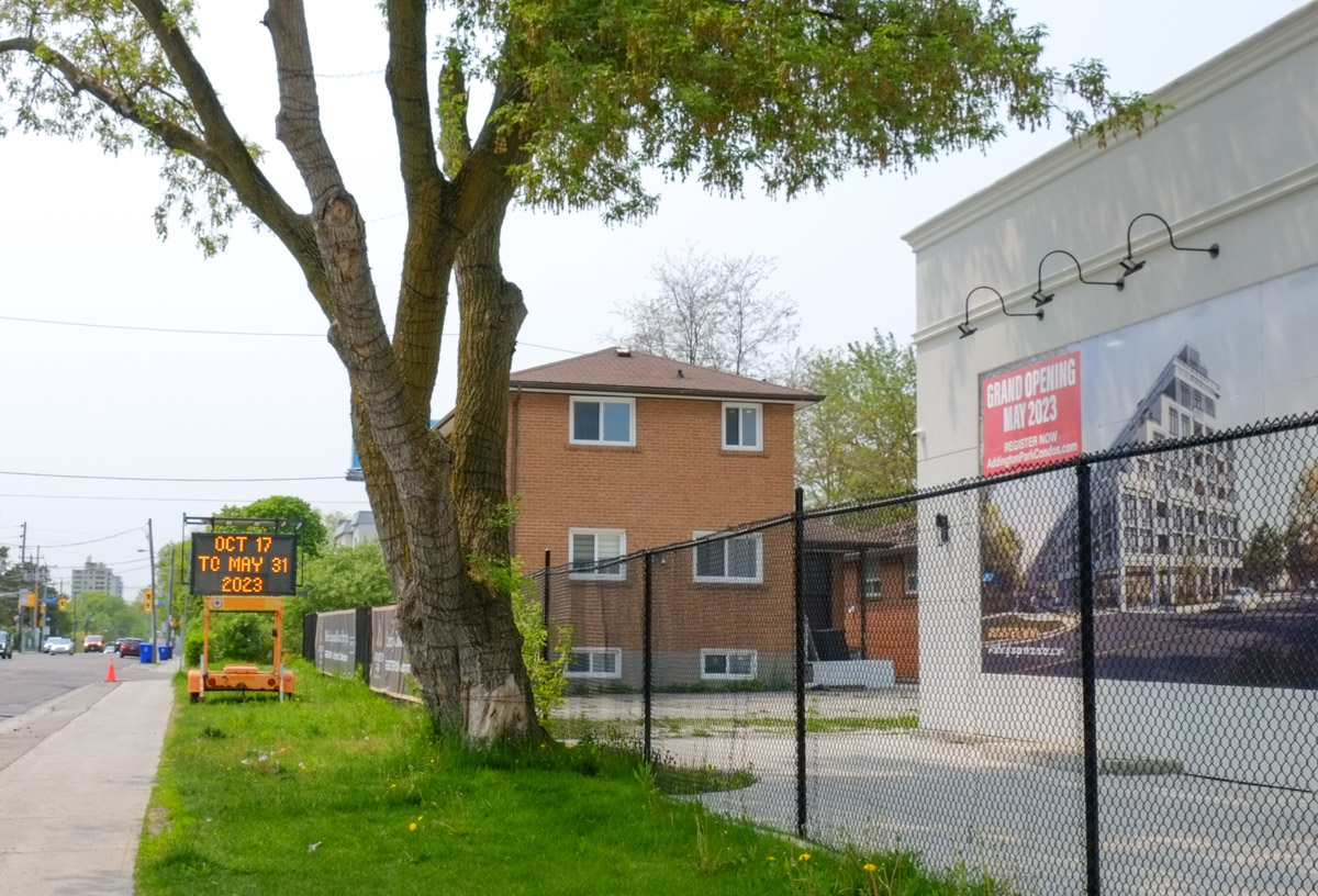
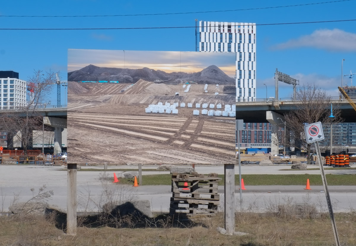
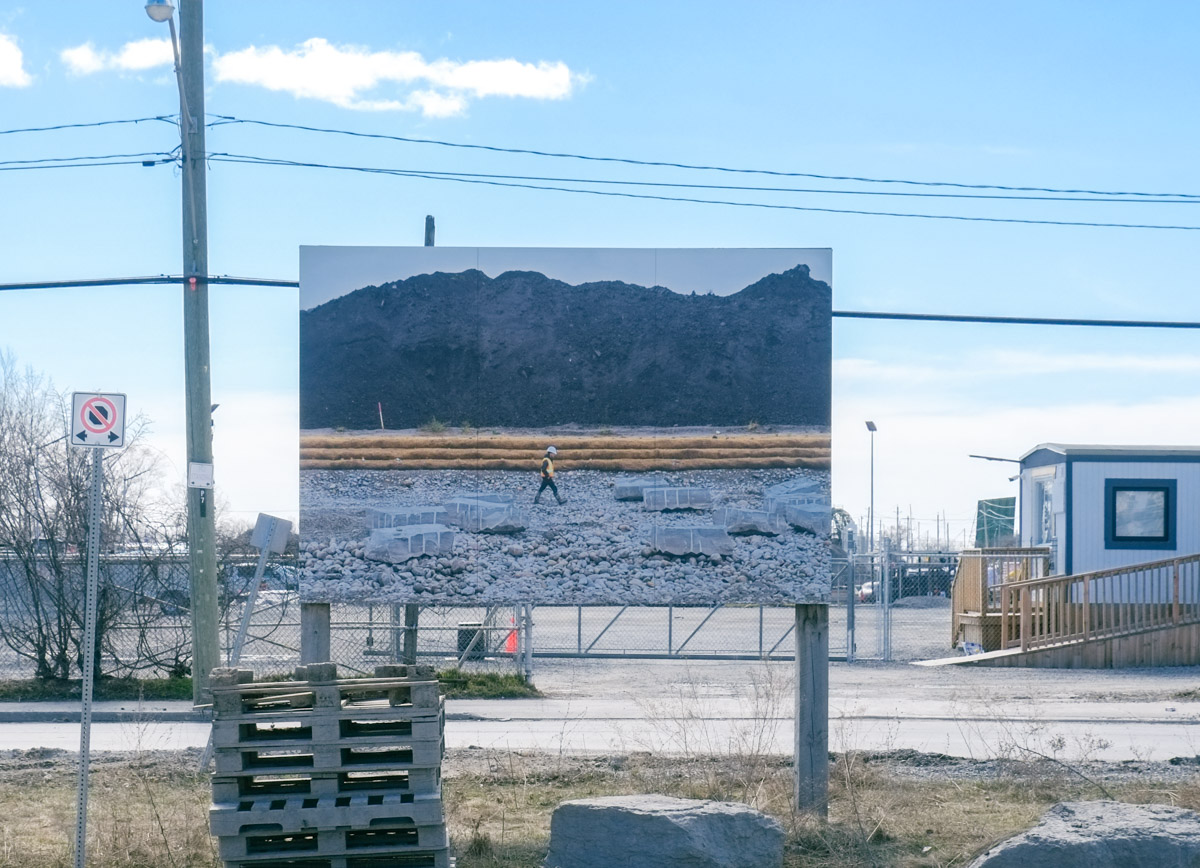
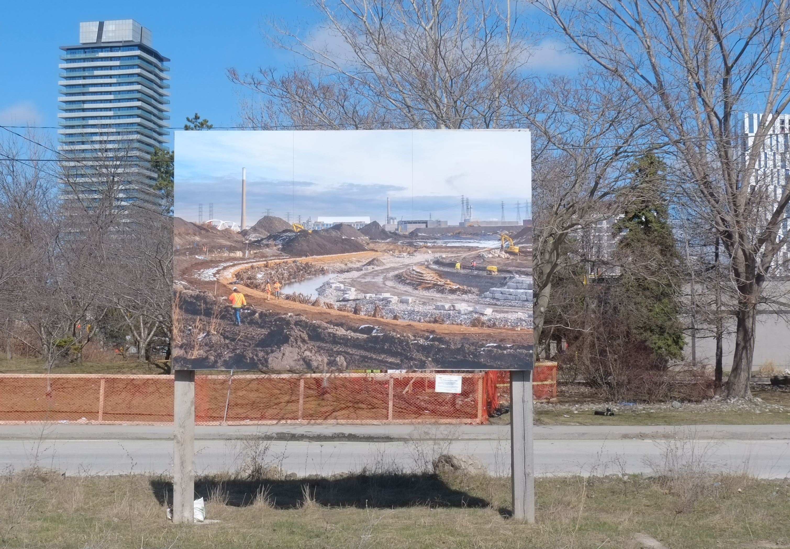
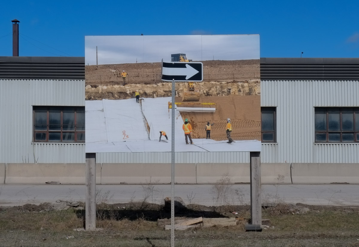
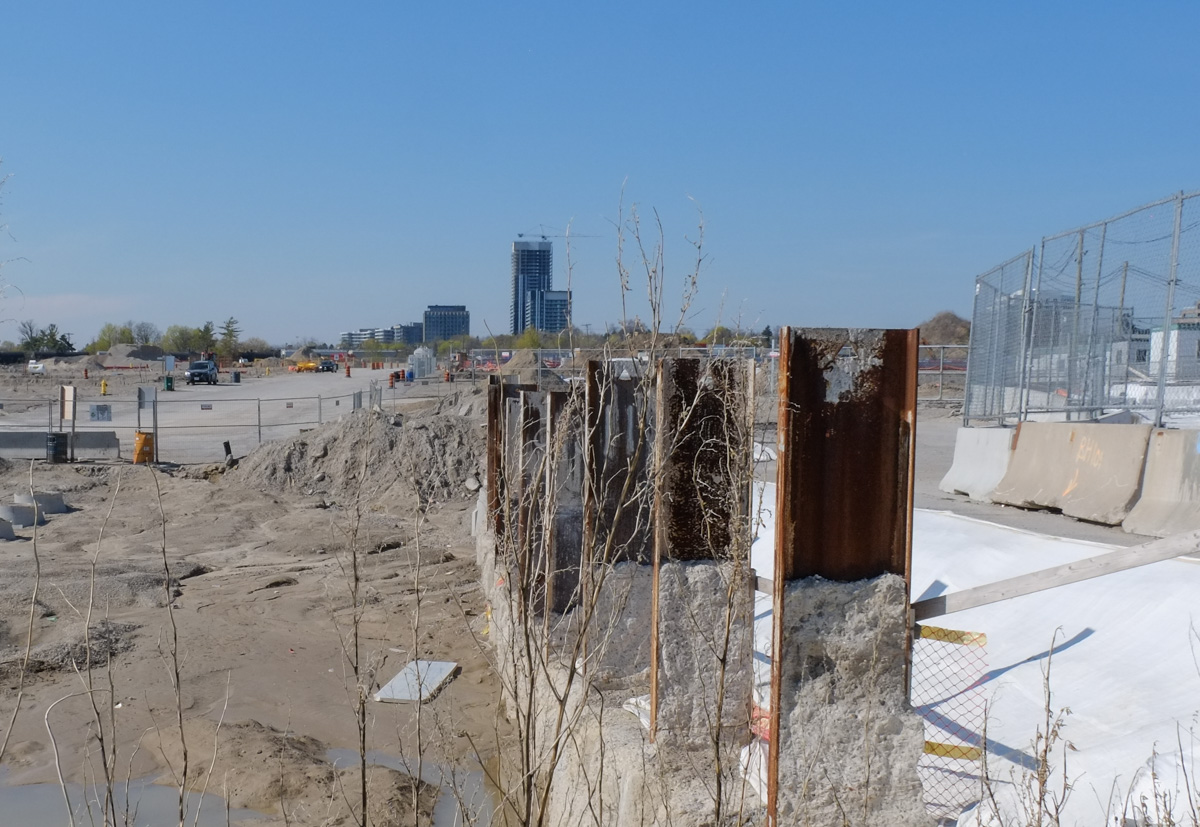
It was four years ago that demolition of the old IBM buildings began.  On the surface it doesn’t look like much is happening.

fence, dirt, and weeds in front of crosstown redevelopment

construction site, steel girders slightly rusted upright into the ground, some water puddles, sand and dirt, start of a new street

construction site

Crosstown neighbourhood construction site

people waiting for traffic light to turn green at corner of Don Mills and Eglinton, two young women and an Asian woman with a black and white umbrella

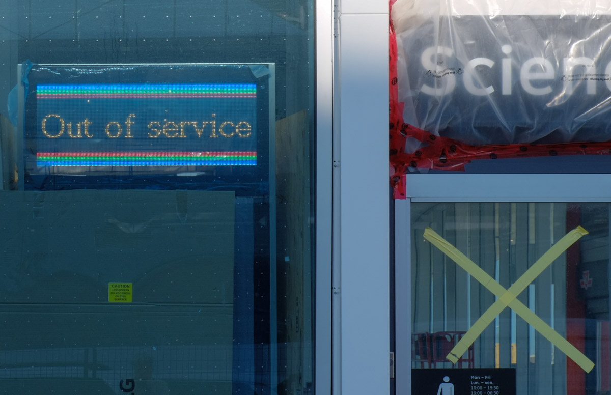
Out of Service.  Nothing happening here.

sign that says out of service

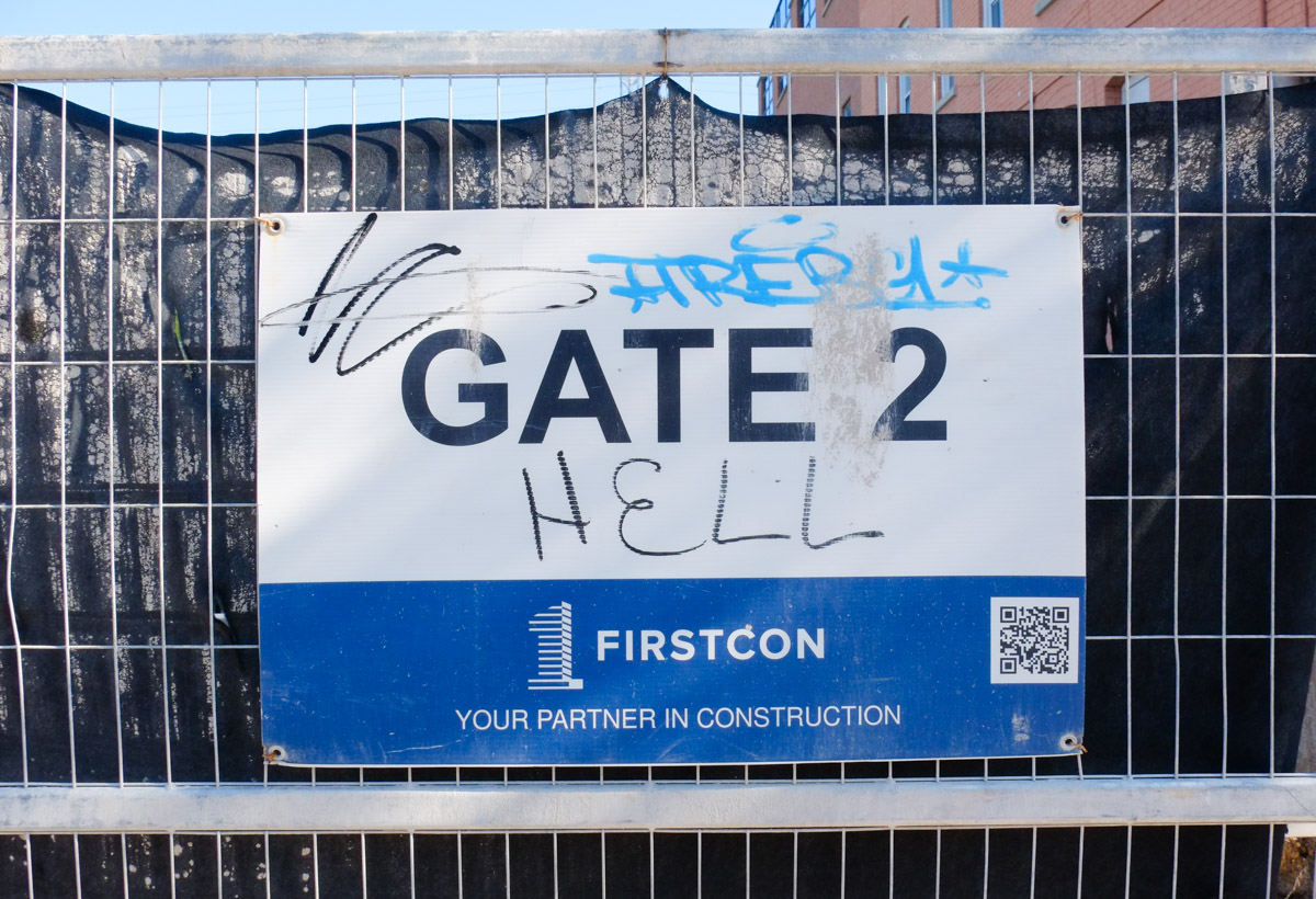
Sorry, but I have a few more questions and comments about this thing I encountered at Don Mills & Eglinton ….

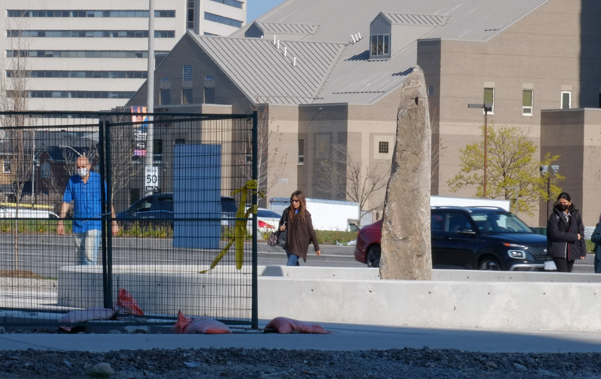
What is this?  A phallic rock in a concrete circle …. or Doug Ford giving the city the finger?  To those who design and build public art (if that’s what it is)…. that concrete circle is just a large garbage can.  It will collect trash.  It will fill with rain water.  It will be an unsightly mess.  It’s too low for a bench and it blocks the sidewalk.  There’s no sign and no explanation.  I can’t find anything about it online either.

a rock pillar stands upright, in the center of a concrete circle

Lawrence Avenue East between Victoria Park and Warden Avenues is a fairly typical Scarborough “thoroughfare” street, or arterial road.   It has seven lanes of traffic and is lined mostly by strip malls set back from the street to accommodate parking lots in front.  It is designed for cars.   Also typical of Scarborough are the many different ethnic restaurants and shops.  I decided to walk these few blocks after I heard about  The Lawrence Prospect which is a group advocating changes to this stretch of Lawrence Avenue…  Changes like dedicated bus lanes and bike lanes as well as sidewalk improvements to increase pedestrian safety. They are promoting the idea of a “complete street” which simply means that the street works for all users, not just for cars.

below: This stretch of Lawrence lies in the Wexford Heights neighbourhood

large black planter beside sidewalk with faded red ribbon, winter greenery pine and a wexford heights sign

below: The wavy roof over the entrance is a throwback to the late 1960s and 1970s when there was a lot of development in the area.  It was an era when the car ruled.  Land was cheaper and more abundant.  Strip malls and ‘plazas’ were popular.

front of an apartment building, with entrance, from the 1970s, with wavy roof over the entrance

Like many areas of Scarborough (and Toronto for that matter), it is very multicultural.  You can find a cast array of different ethnic restaurants and stores here.

Lawrence Avenue East

below: Weekend breakfast, Halwa Puri, Butter Chucken, Lunch Special, and Family Deal with tandoori chicken!

restaurant advertisement sign in parking lot on Lawrence East, for Ammi's Restaurant

below: Ibrahim BBQ Shawarma, halal, with Iraqi kabab and Shawarma wraps, 2 for 1!

Ibrahim BBQ and Shawarma restaurant window with pictures of items on the menu

below: Very few remnants of a much slower and sleepier past remain.  Little white picket fences are rare!

old low beat up white picket fence between parking lot and low rise apartment building

large billboard type sign in parking lot in front of strip mall, for Sequioa Lounge, Alzahraa halal grocer, and Shawarma Brothers,

below: Part of the impetus for the Prospect project was the fact that some street work was going to be completed here this spring/summer.  Why do a partial job only to have to redo it a year or two in the future?  As of today (28April) there is no construction happening here.  The only sign of work is at the corner of Lawrence and Warden where the sidewalk was widened.

metal construction fence around a newly widened sidewalk with bus shelter in the middle

spray paint marks on sidewalk in orange, yellow, pink, and white, marking different utility lines or construction points, sidewalk

Bike lanes on Lawrence Avenue from Victoria Park all the way to Rouge Hill (16.2km) were approved in 2008 but were never built.

speed bump ahead sign by parking lot of Tim Hortons, also a no trespassing sign

below: The Moon Lounge with its neighbours – Mayfair Drapery & Rug below with Tru Belle on top – skincare, hair care (pink!), and body sculpting advertised.

two storey store front on Lawrence with lowrise apartment building in the background

below: Unloading can, bags, and boxes

men unloading bags and boxes of groceries to an Asian, Indian, food store

below: Window of Top Gun Burger

looking in window of top gun steak and burger restaurant, logo is a tank with the bod of the tank is a hamburger

parking lot, strip mall, and newer condo building on Lawrence

below: Lawrence East is served by TTC route 54.  It runs east from Eglinton station (at Yonge) to Leslie Street, north on Leslie, then east on Lawrence.  The route ends at Starspray Blvd – you’ve probably never heard of it but it’s on the waterfront just before the Rouge River.  That’s a distance of almost 28 km.

2 TTC buses on Lawrence, a school bus parked beside,

view of lawrence avenue east as seen through a bus shelter

below: Greetings for Ramadan, the ninth month of the Islamic calendar, during which Muslims fast during daylight hours (among other things).  This year it was observed between 22 March and 20 April.

Ramadan Mubarak sign on lawn of restaurant

below: The planet is in our hands

painted Bell box on a sidewalk, a woman in yellow dress has her hands up in the air, holding onto the Earth with the text the planet is on our hands

below: Precious Blood Roman Catholic Church

Roman Catholic Church on Lawrence,

below: Looking west at Pharmacy with a Seniors crossing sign.

intersection of Pharmacy and Lawrence Ave East, yellow and black seniors sign,

below: Do any drivers notice these signs?  What are they supposed to mean?

yellow Senior Citizens centre sign beside yellow and blue wrapped pole

below: Wedged between the UPS store and Tim Hortons drive thru are these murals by Ian Leventhal. (NW corner Warden & Lawrence)

On the side of the UPS store, and beside Tim Hortons drive through, there are two murals on a wall

below: Moovattuphuza is a town in Kerala India.

Man's portrait on mural with route that he took from India, Moovattuphuza, Canada, Wexford

below: Diana is holding a large fish and is pictured beside a fishing village in Greece.

mural on a wall beside a tim hortons drive through

below: Nearby (SE corner of Warden & Lawrence) is Tony’s portrait.

Man's portrait, Tony, on a mural along with picture of a village in Greece, words, Greece, Canada, Danforth, Wexford,

below: Modernnisa women’s clothing store – evening gowns, kaftans, abaya, and hijabs

window and front wall of Modernnisa women's clothing store with floor length dresses and head scarves

below: “Dear Toronto, We’re just getting started, Love Scarborough”.  It’s an ad campaign for Scarborough Hospitals that is appearing in bus shelters.  Along with the play on the “Love Scarborough” phrase there is a sense that maybe Scarborough’s time has come.    In 2017 Catherine Hernandez’s novel “Scarborough was published; it has since been adapted into a movie.  The movie was shot primarily in Scarborough and premiered at TIFF in Sept 2021.

advertisement in a bus shelter for Scarborough Hospital, photo of a black man in scrubs, with text that says dear toronto, we're just getting started, love scarborough

used cars with no licence plates in a lot on Lawrence

below: Multicultural yet very Canadian.

cars for sale with Canadian flag licence plates on front,

below: Nigeria Palace, Bamar Biryani and Kabob, Luxmy Restaurant

businesses in two storey pale grey brick strip mall

below: Northwest corner of Warden & Lawrence

parking lot

There was one thing missing here – I didn’t see one single blue and white City of Toronto development notice sign!  Nada!

purple bin to donate clothing, broken sign, puddle in cracked pavement, street in the background, trees with no leaves

below: There is no construction happening here – left over from a previous job?

bent orange and black construction zone sign, on a hydro pole on Lawrence, also a yellow and blue slava Ukraine pole wrapper

raining, people walking past front of TTC bus

and other little distractions near the south end of Leslie Street.

below:  The bright red walls of The Duke stand out at the corner of Queen Street East and Leslie Street.

Leslie and Queen Street east, looking west on Queen towards The Duke, a bright red building, restaurant and bar.

below: Just to the south of Queen, this red door marks Memory Lane

below: On the same brick building as the door above there is a window with eight panes of cloudy glass surrounded by a thin red line.

old glass window with 8 panes of glass, old, red window frame, brick building

This is 1233 Queen Street East and it was formerly Lee’s Food Products.  China Lily brands soy sauce was produced here for about 70 years.   The building was constructed in 1920 and was first used as a billiards house with apartments above.  Yeat Yum Lee bought the building in 1947 and turned it into offices and a factory for his food products.

There was an attempt last September to have the building designated as a heritage site but if the Lithos Group (the development company that owns the property) website is accurate, the old building is about to be demolished.  Another condo with blah (i.e. non-existent) street level planning.   The blue and white city development notice on the building says that there will be 132 residences on 8 storeys (with retail at street level).  There will be parking for only 10 cars.

below: Metal tower (container?) on the side of the Lees building.  The Duke is on the other side of Leslie Street.

large shiny metal column with a red exterior ladder, beside a brick building with red trim

below:  Front window of 1233 Queen Street East

front bay window of 1233 Queen East, red window frame, brown brick building, empty, soon to be demolished

below:  Like many empty buildings that are waiting to be demolished, the walls become a canvas for graffiti artists to take advantage of. Here, two identical faces with different tastes in drinks.

three paper graffiti wheatpaste on a red door. in the middle are two identical faces merged together back to back. on the left is a ridged glass drinking glass and on the right is another glass

below: Multicoloured diamond shaped ‘scales’ on the iguana…. or is it a chameleon who can’t decide what colour it needs to be?

on a concrete window sill, exterior, a graffiti chameleon coloured with many different diamonds

below:  More wheatpaste on a brick wall.

Two paper wheatpaste graffiti on a brick wall. One is a woman with wings on her back holding a very large paint brush over her shoulder, black paint dripping from it. The other is a hand holding a piece of white paper with a very large black ink blot or paint splash on it

below: The Duke, a solid brick building built by James Morin in the 1870s as the Morin House Tavern.  Morin had been a grocer who went into the brick business; he was the first in the east end to make mechanized pressed bricks.  It was renamed ‘The Duke of York’ in 1912 in honour of Prince Edward – Duke of York & Albany.  If you are interested in the history of this part of the city, Leslieville History has a webpage full of information and stories

The Duke, a bright red building, seen from Leslie Street south of Queen

red wall of the Duke, with a red door, and yellow hydro pole wire protectors

below: Fading MEN at The Duke (it’s a big step up…. or down)

wood door with small window in the top of it, on a red brick building

below: In a nearby alley, “Eat the rich”!  The fork is provided.

graffiti, red writing on white wall that says eat the rich

below: Beside, and in, the window of a Thai restaurant.  I was a bit hesitant about the “Piss Riffin” on the sticker but as it turns out, it’s a podcast where they talk about  things “that matter like life , love and most importantly piss!”  So consider yourself warned before you click that link!

looking in a window at at Thai woman mannequin, wall beside window has a mailbox with a Shoppers drug Mart flyer in it and a sticker on it.

below: Gas pumps on queen just because (I like the chaos of competing shapes and colours).

view of gas pumps at a station on Queen street east

below: Part of a mural by Rowell Soller

Mouth and nose, part of a mural by Rowell Soller,

below: Another nose nearby – but a much larger one!  Beware of nasal drip!

large 3 d sculpture of a nose, mounted on red board, over a door of a store, now closed and boarded up

on bright green background a black and white sticker of a mans face

on a wood fence, a large three dimensional metal star