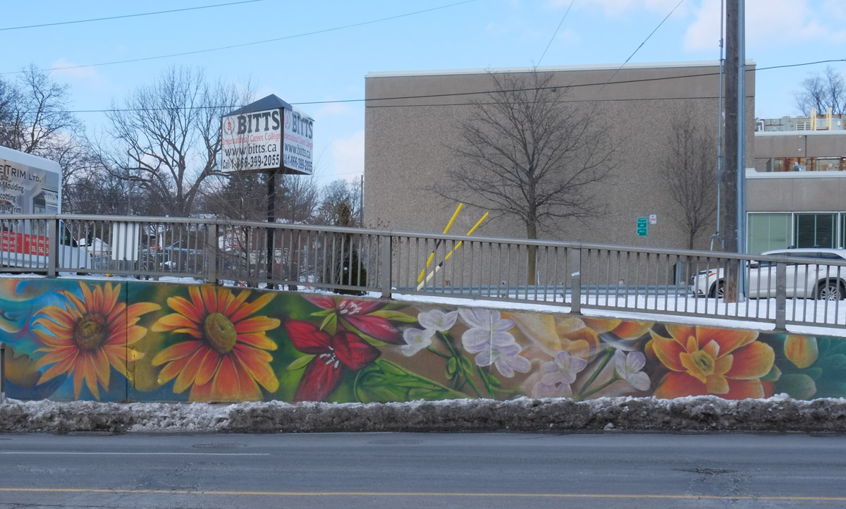
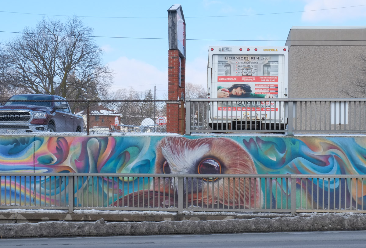
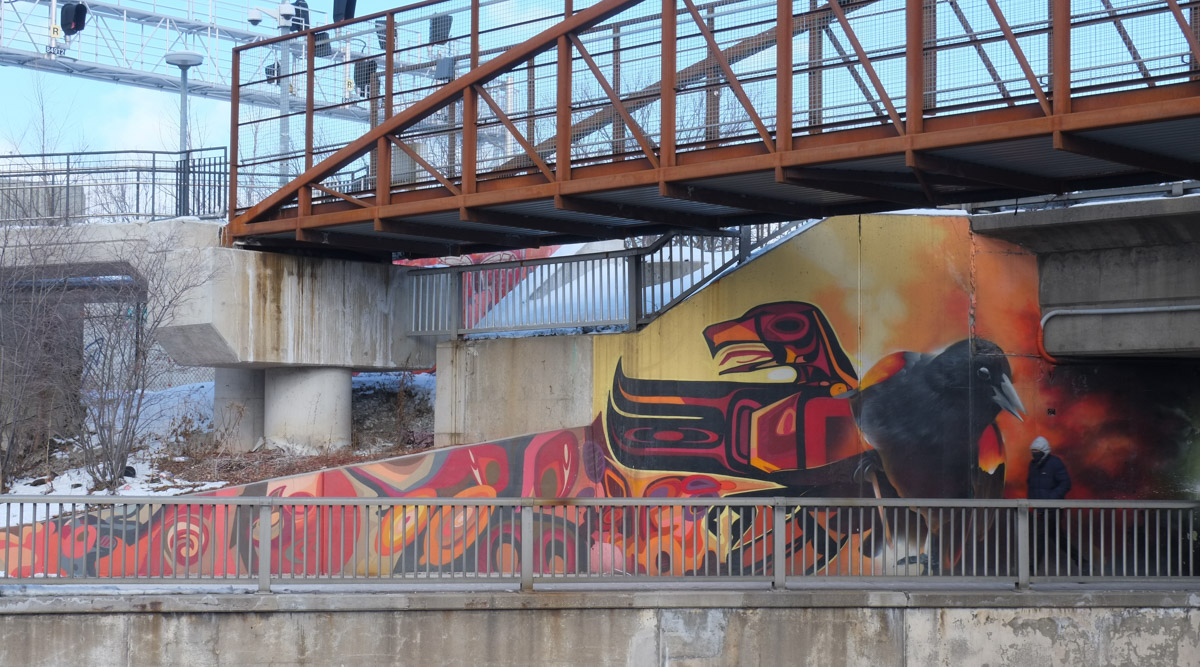
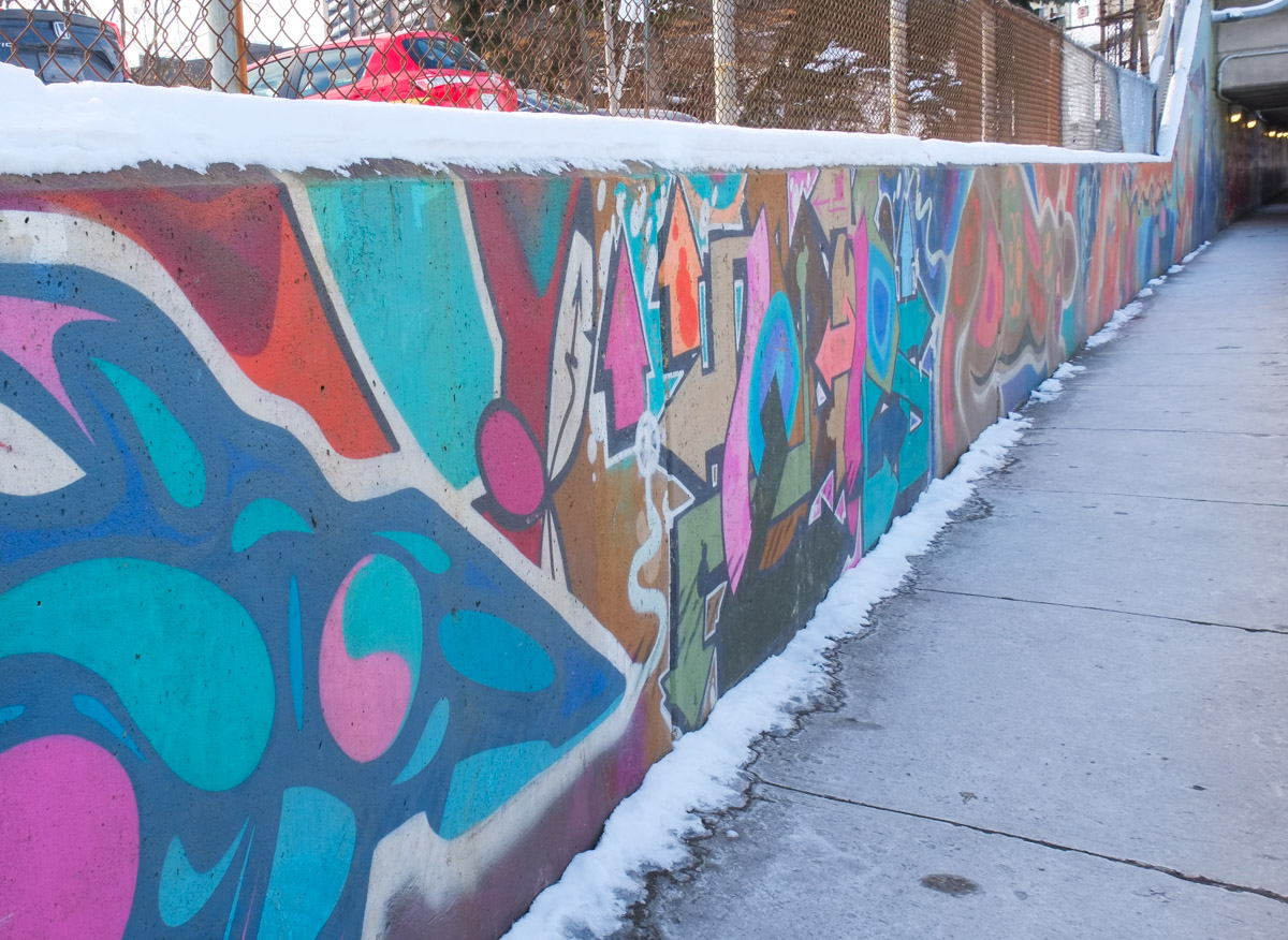
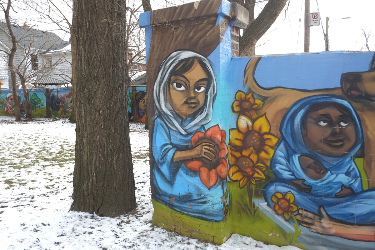
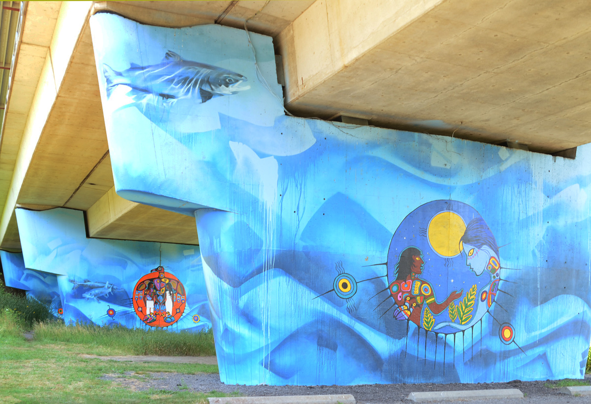
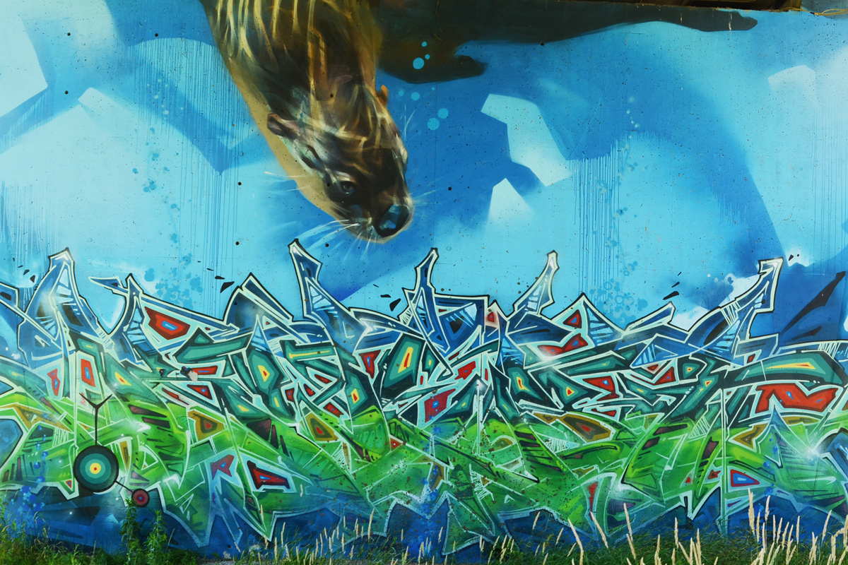
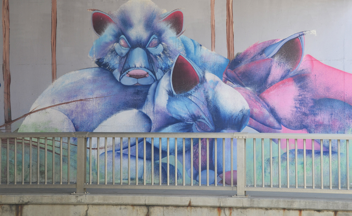
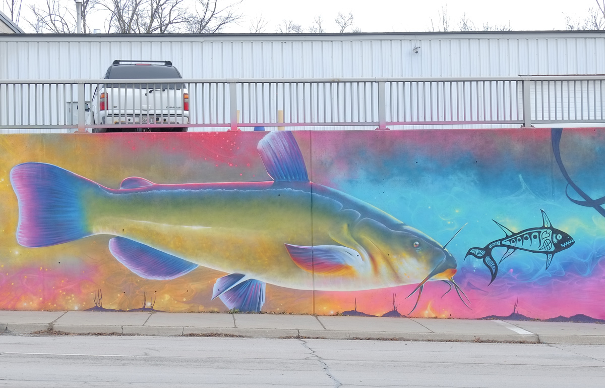
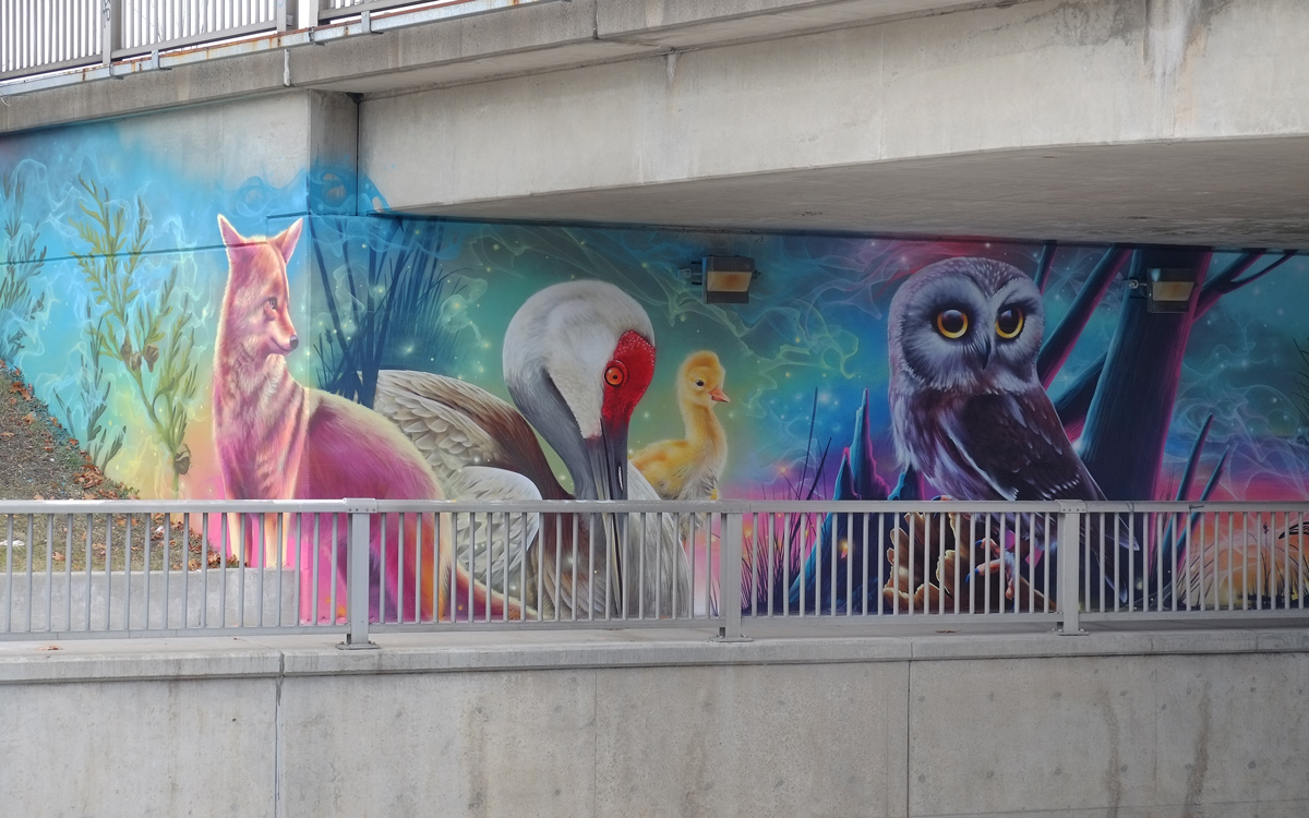
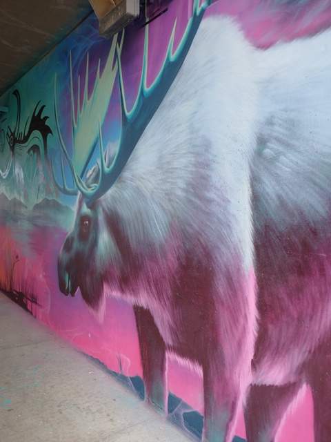
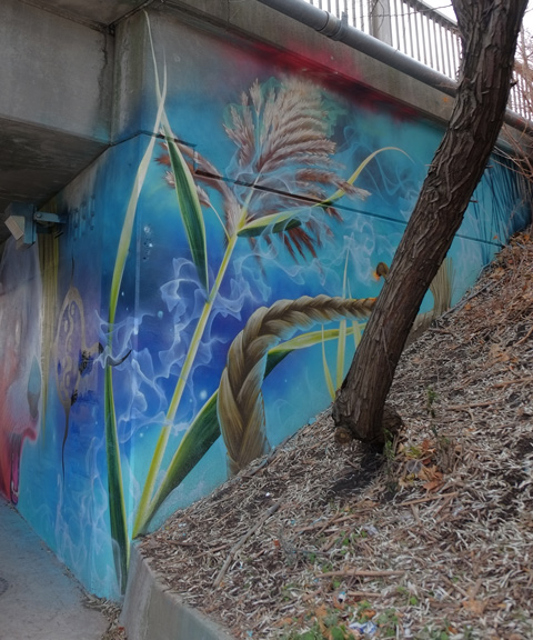
The TTC subway tracks cross above the Humber River at Old Mill station. The concrete pillars that support the subway bridge have been covered with many watery blue First Nations themed murals.


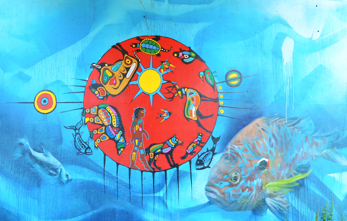
below: The artist, Philip Cote, described the story behind this image on the ArtworxTO website (see link); like all cultures, the Anishinaabe have an origin story. In the beginning there was just Spirit. “And that spirit decided to send signals out into the universe and waited for a response. And when no response happened that spirit called the signals back and said, “As you come back to me, create light in the universe”. And at that moment they had light and dark in the universe. And that is the beginning of the Anishinaabe cosmology. Everything for Anishinaabe is made of light and dark. Everything we look at has a spirit, everything, the ground, the rocks, the sand, the trees, the birds, the plants, everything is… and even our sun and our Mother Earth and the moon, they all have a spirit.”

connecting with thousands of galaxies in the universe
The blues of the water, the Humber River, were painted by Kwest. Water is the Underworld in Ahishinaabe cosmology and the Guardians of this Underworld are the fish. Another artist, Jarus aka (Emmanuel Jarus), painted the fish.

Most of the paintings have a well defined circle. This is the boundary between water and earth, between the spirit world and the physical world. But there are connections between the two worlds – all living things are connected and we are all connected to the Spirit World.


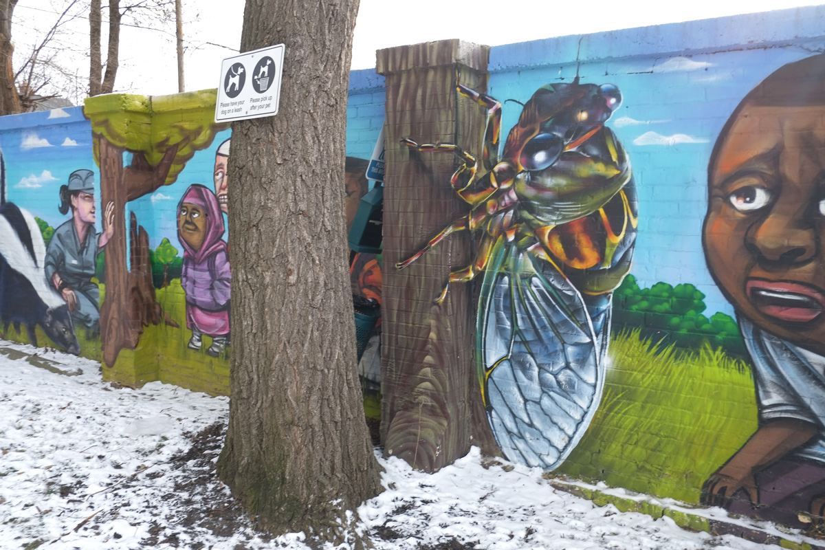
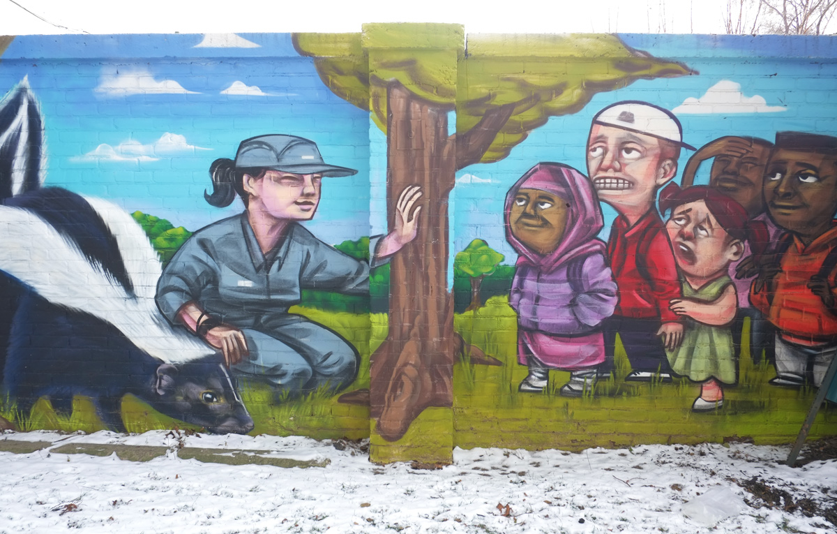
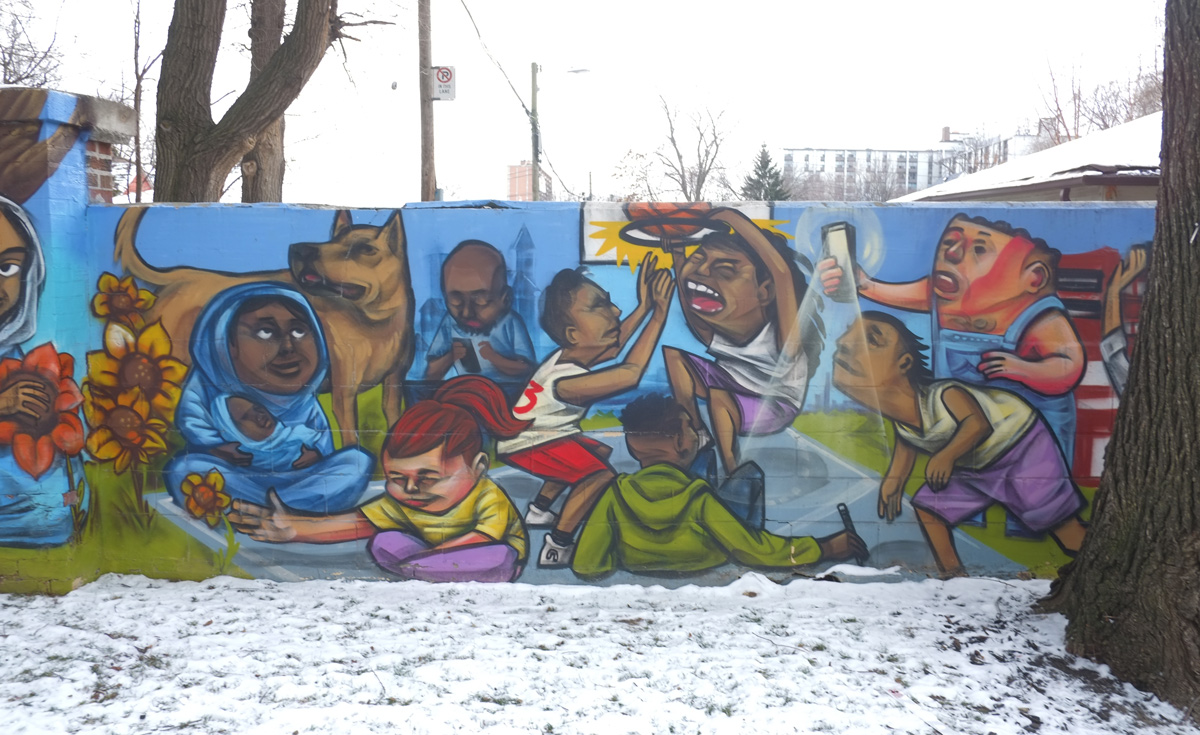
These pictures also appear on another blog, Eyes on the Streets