Posts Tagged ‘traffic’

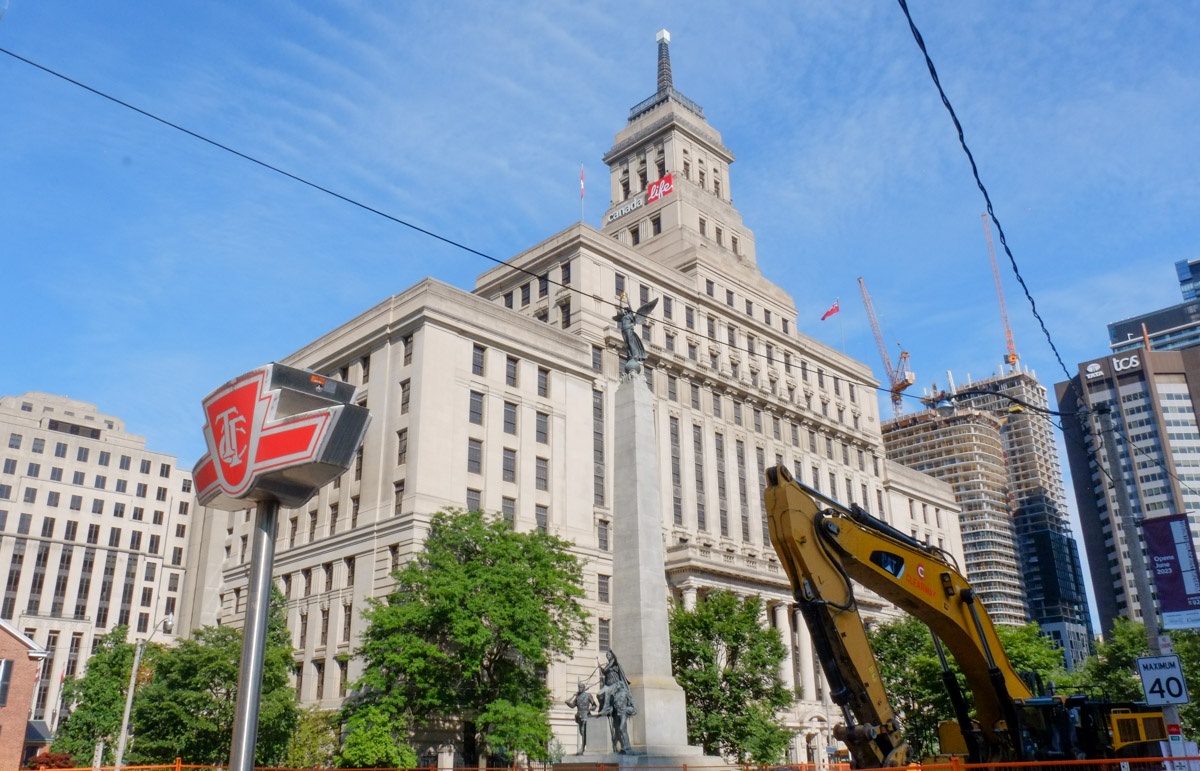
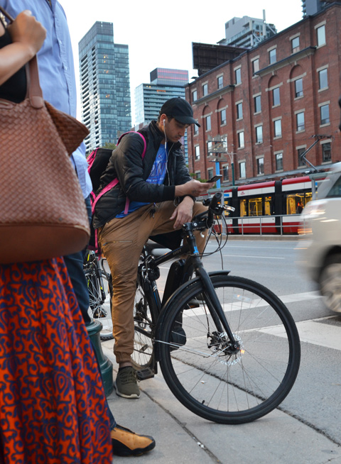
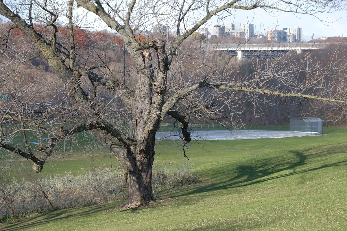
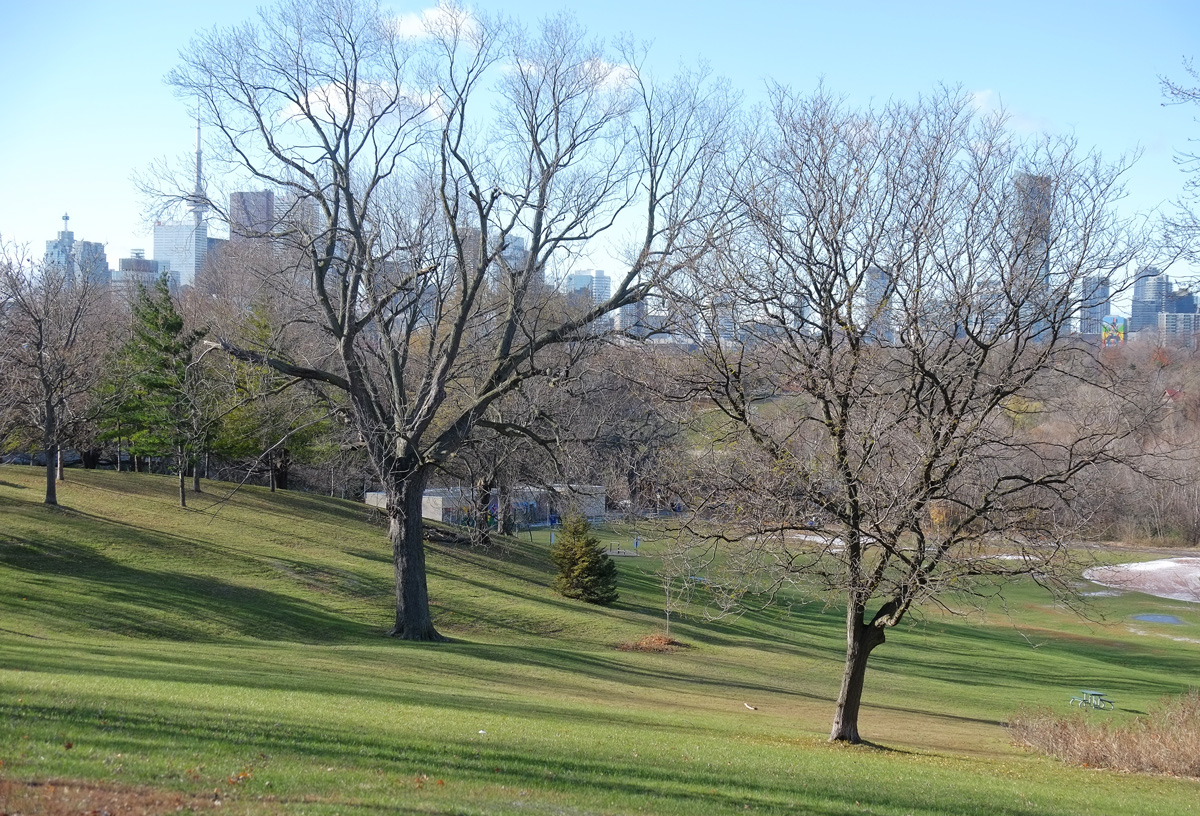
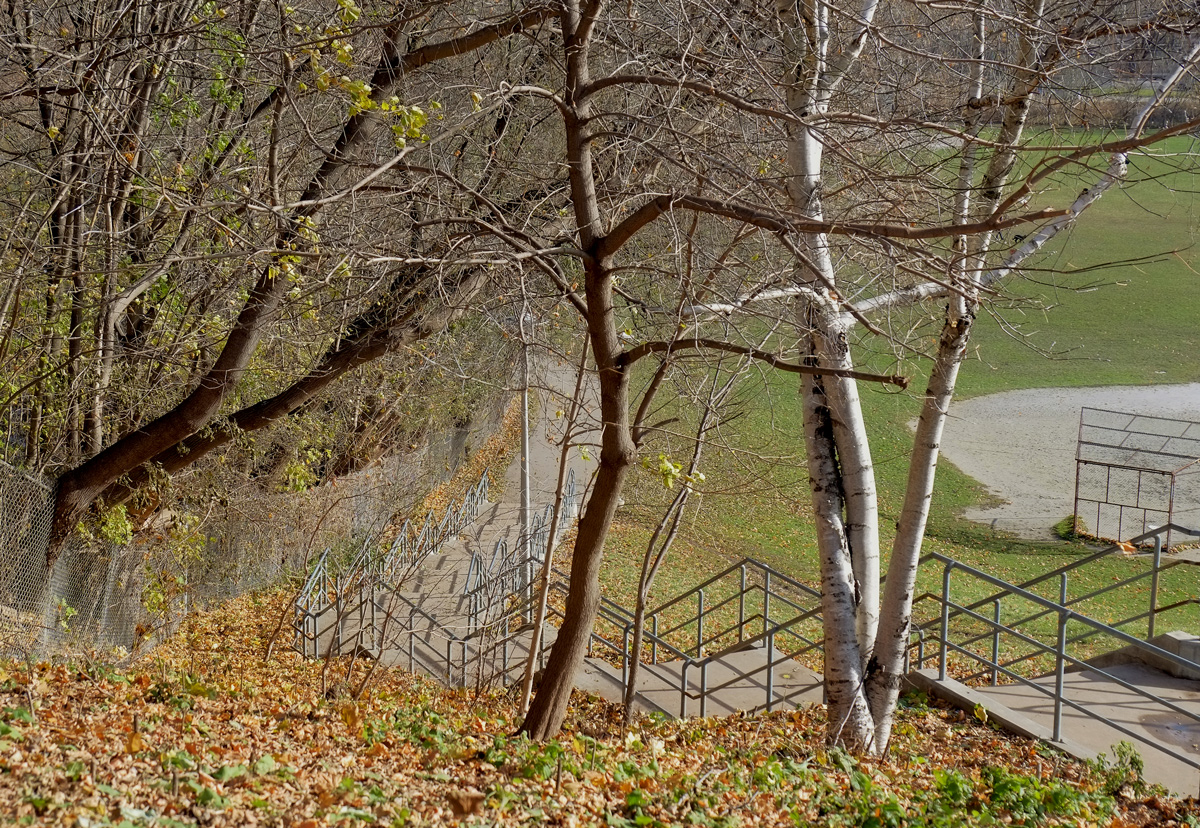
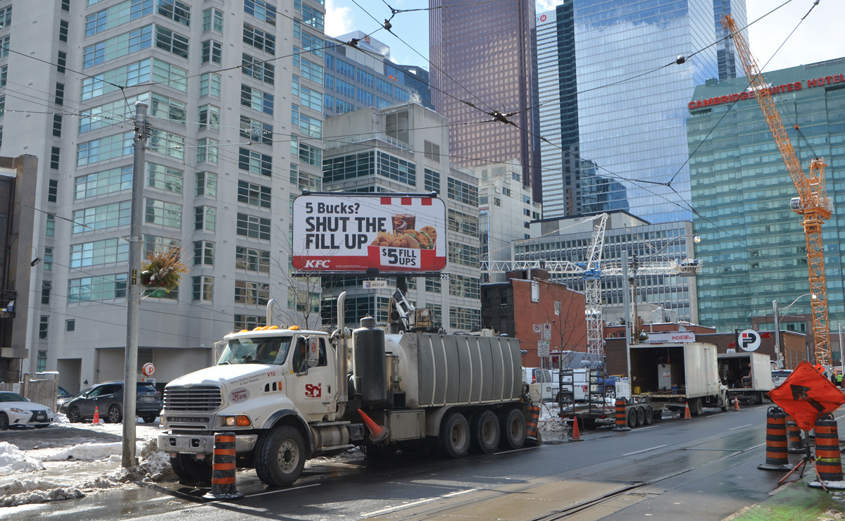
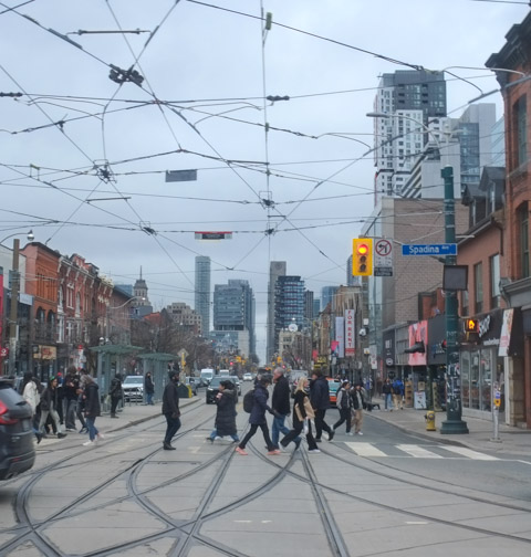
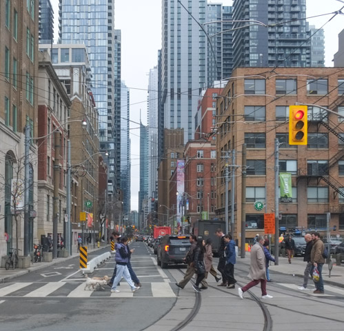
Spadina has many faces –  It starts at Eglinton as Spadina Road where it runs south through Forest Hill.  It’s journey southward then continues through a number of different parts of the city including a spot where there is a block missing at Casa Loma.  Pedestrians can use the Baldwin Stairs but traffic has to detour around the castle.   At Bloor it changes to Spadina Avenue and widens to allow streetcar access down the middle of the road.   Here, it is also the western edge of the University of Toronto.

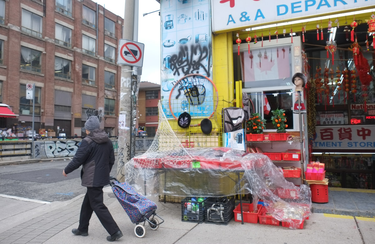
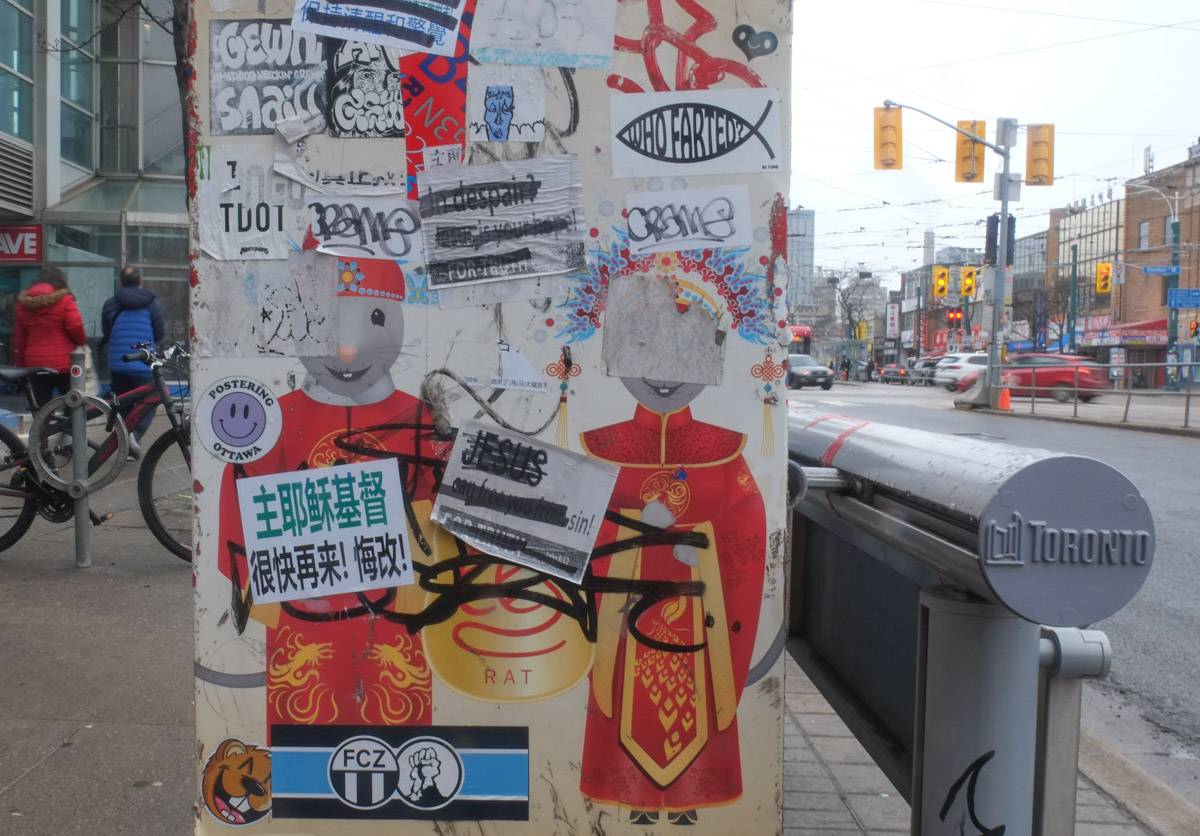
Just north of College Street,  Spadina becomes Spadina Crescent as it forms a circle around what is now the Daniels Faculty of Architecture building.   South of College Street to Dundas  the neighbourhood is somewhat eclectic with a mix of Kensington Market and Chinatown.

three people waiting for a green light before crossing spadina, a woman in a long yellow and grey plaid coat and a couple talking to each other

on a pole at an intresection, a yellow button for crossing signal plus lots of papers, posters and graffiti, a cyclist goes north on spadina in the background

people buying fruit and vegetables from a market, on the sidewalk,

chinese food store on spadina, with some items on display on the sidewalk

2 asian women on sidewalk, talking together, one has a clear plastic bag with 2 cauliflowers in it.

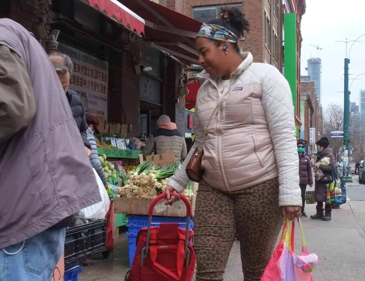
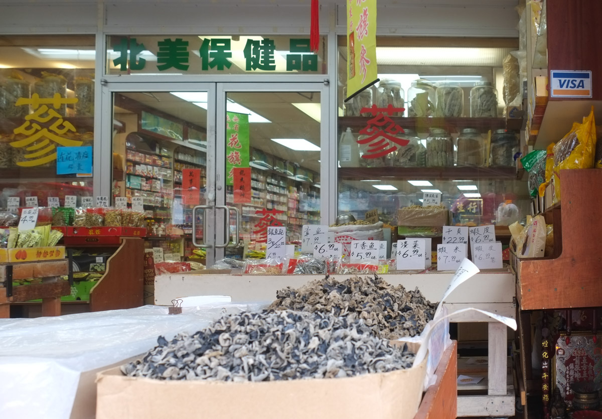
below: Celtuce and asparagus for sale.  Celtuce was new to me – I’ve never seen it before.  It is also called also called stem lettuce, celery lettuce, asparagus lettuce, or Chinese lettuce.  Unlike other lettuces, it is the stem that is eaten (although the leaves are also edible).

box of celtuce for sale at a fruit and vegetable market in chinatown, also a box of asparagus tied in bundles,

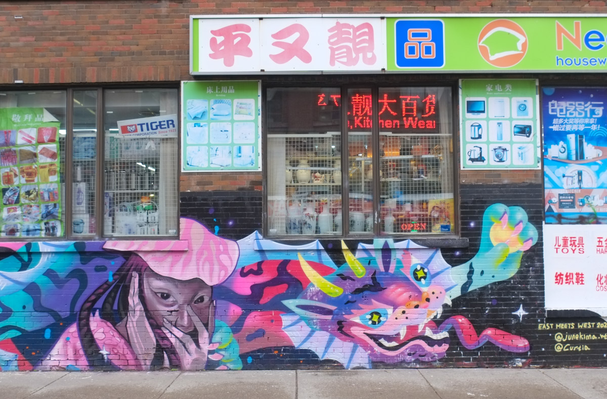
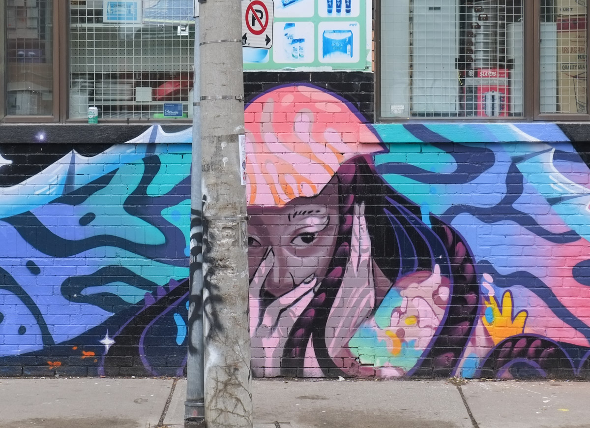
below: Collaborative mural under the window, the work of June Kim and Curtia Wright. East meets West, painted back in October.

mural with tigers and women face, under window on chinatown store

part of mural with tigers and women face, under window on chinatown store

a woman walks along spadina, pulling a shopping bag on rollers, walking past a store with displays on the sidewalk

head mannequin of a young boy, wearing a fur hat, in the window of a store

window display of asian chinese store in chinatown on spadina, metal grille in window as well, tea cups, silver piggybank, porcelain figurines,

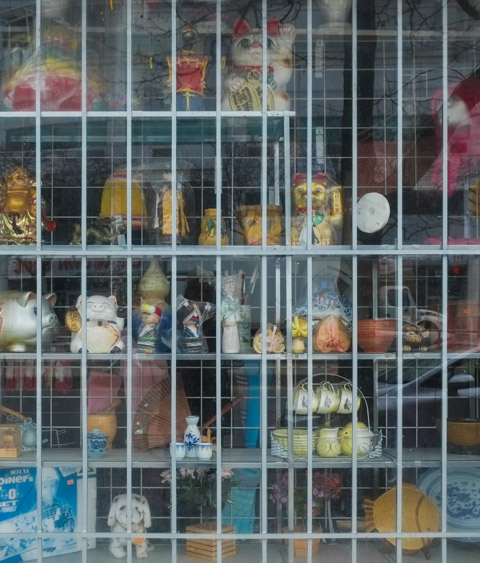
below: Holy Chinatown window Batman!

window display, chinese and asian new year items, lots of red, plus one batman toy in blue

below: A Canada Post mailbox decorated originally with an image of the Year of the Rat (from Lunar New Year calendar) stamp issued in 2020.

side of a canada post mailbox with chinese characeters, one male and one female, on the side, also stickers and graffiti slaps on it

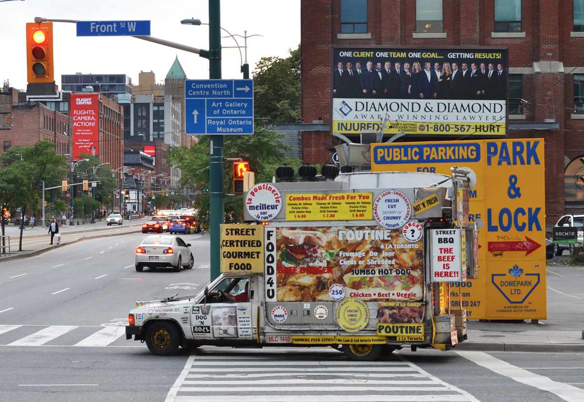
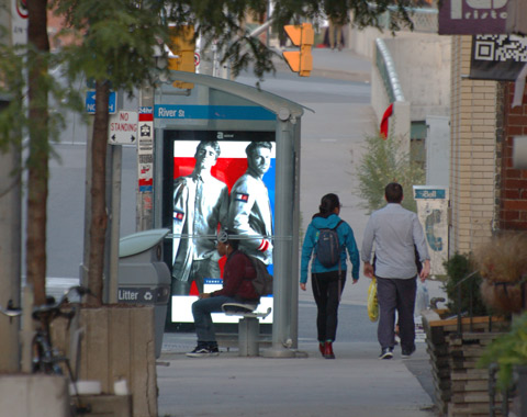
below: Waiting for the streetcar

a young man is waiting for ttc streetcar on spadina, standing in front of an advertisement featuring the large face of a woman

a large yellow school bus turns right onto spadina from queen street, two men are standing by the street car tracks

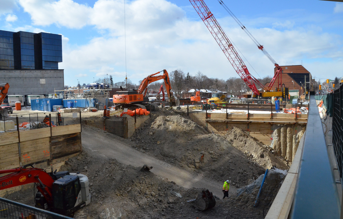
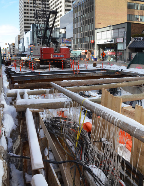
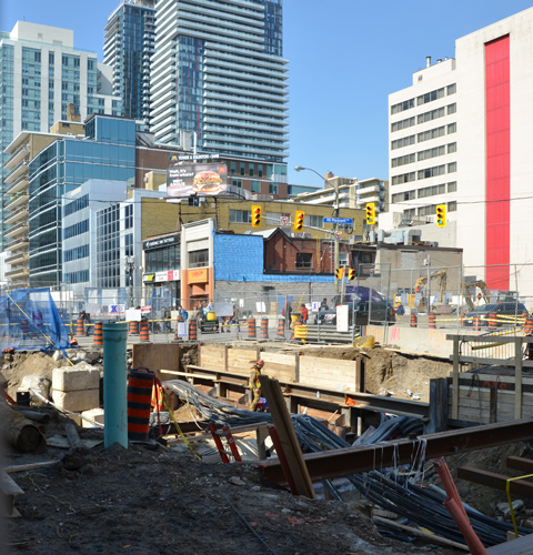
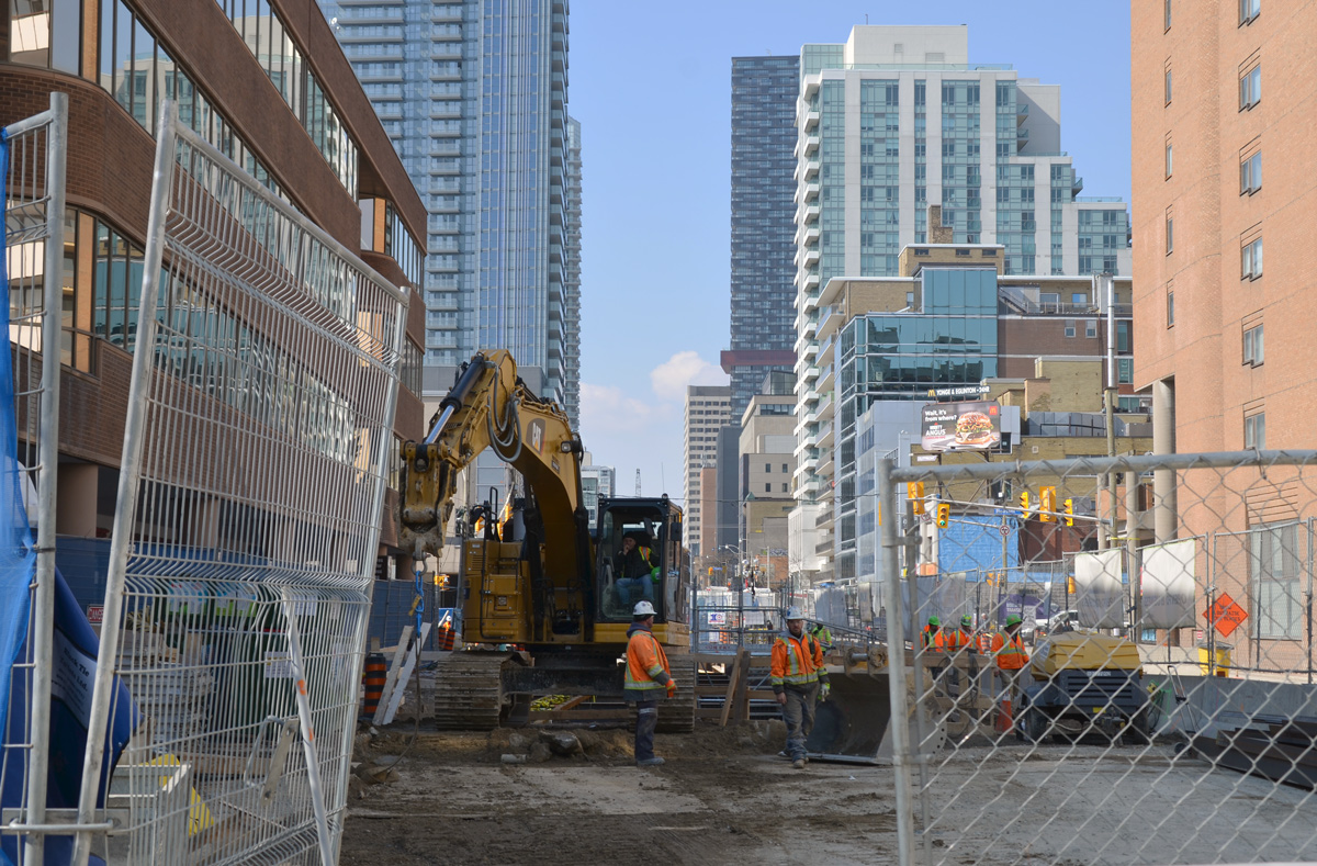
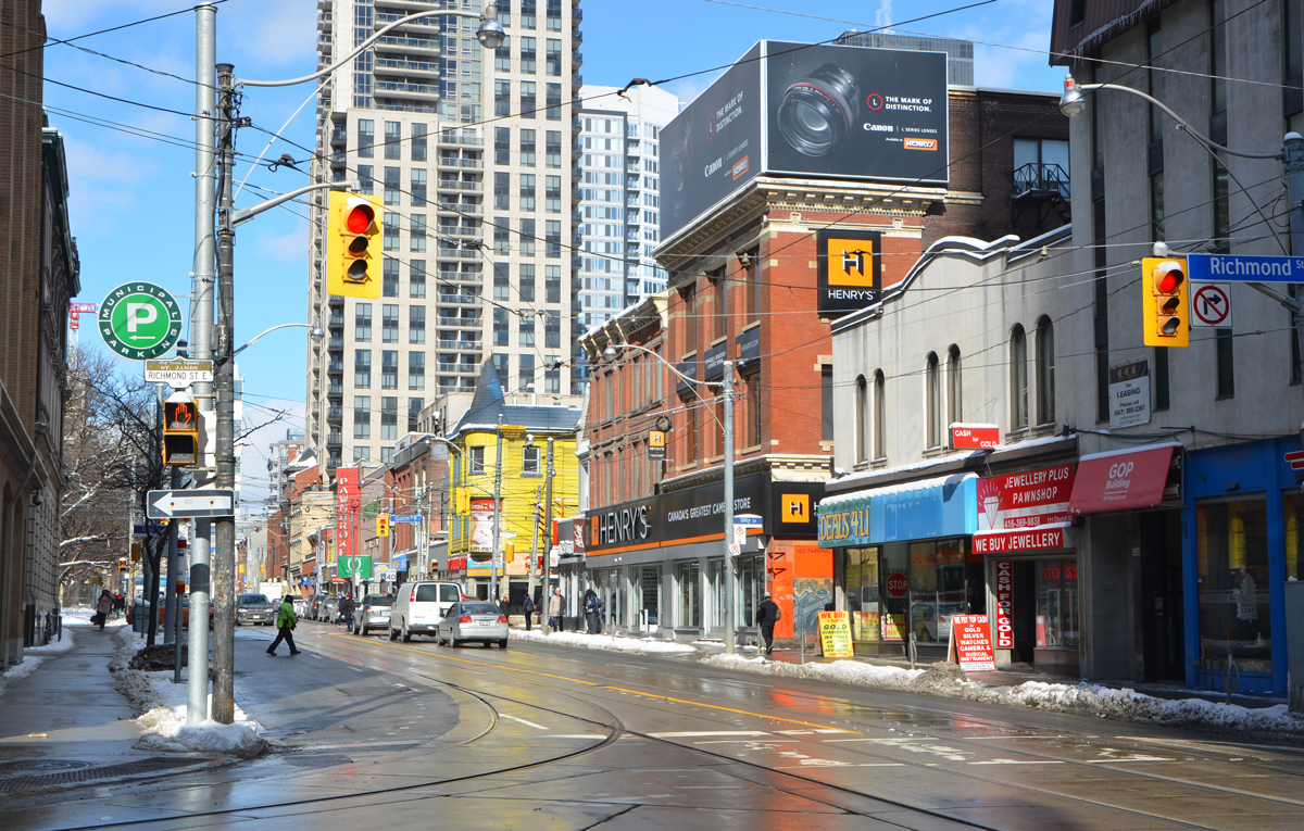
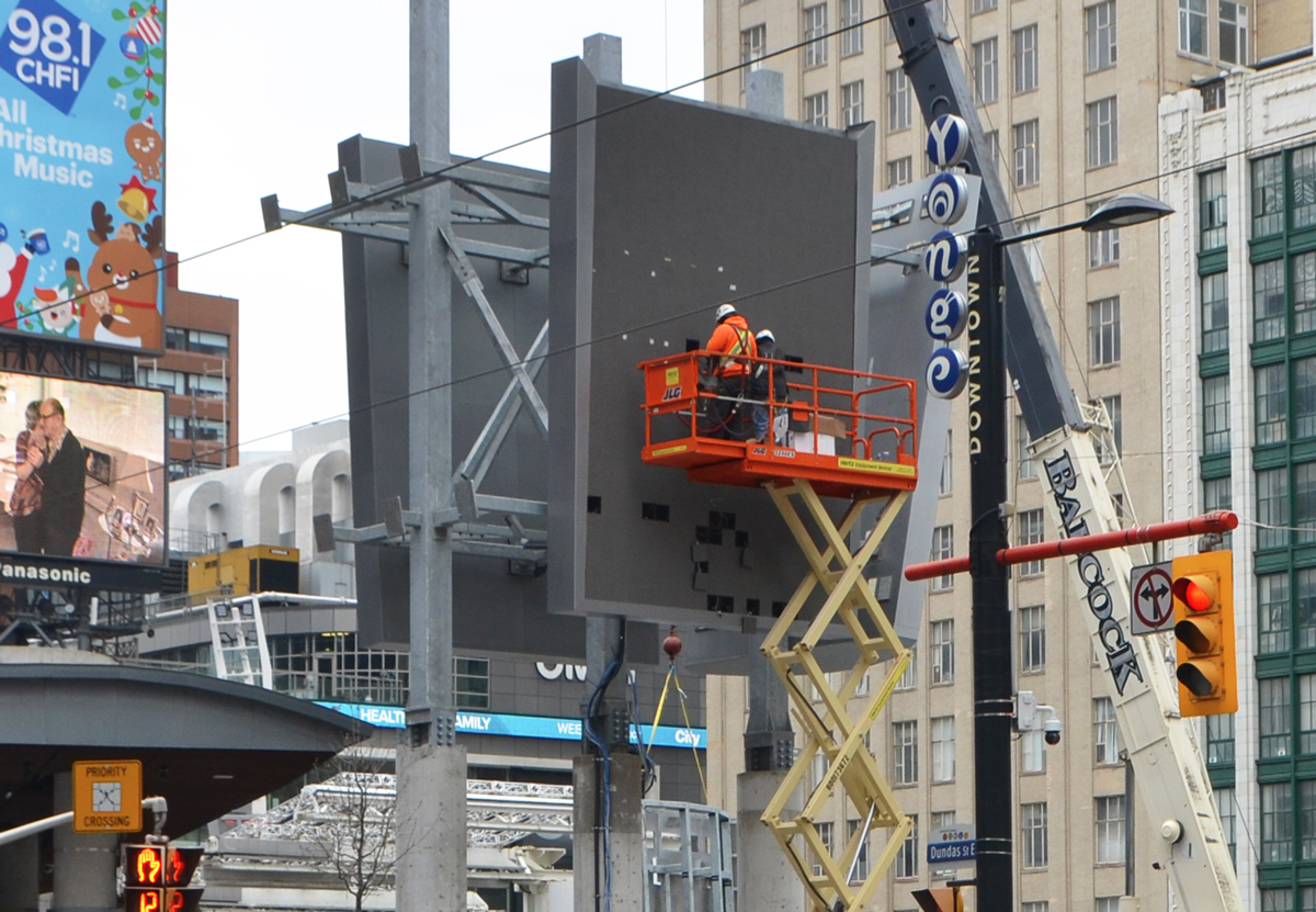
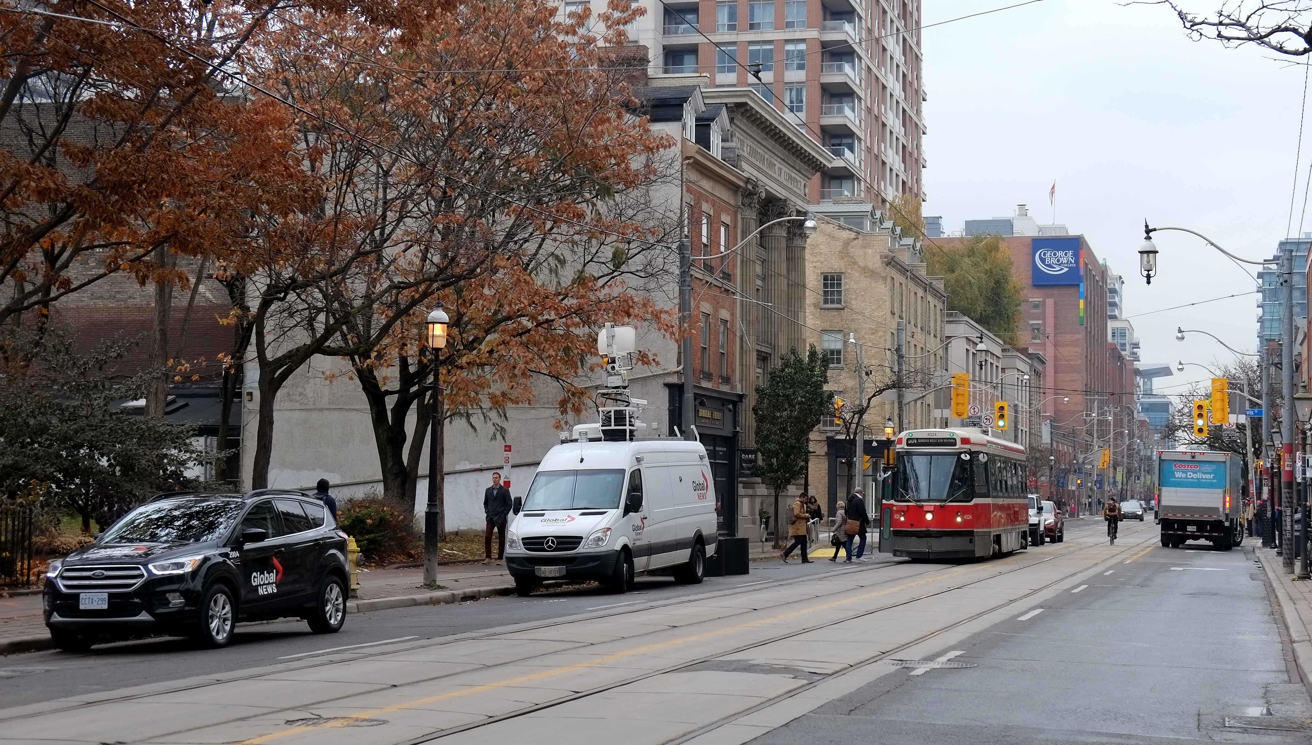
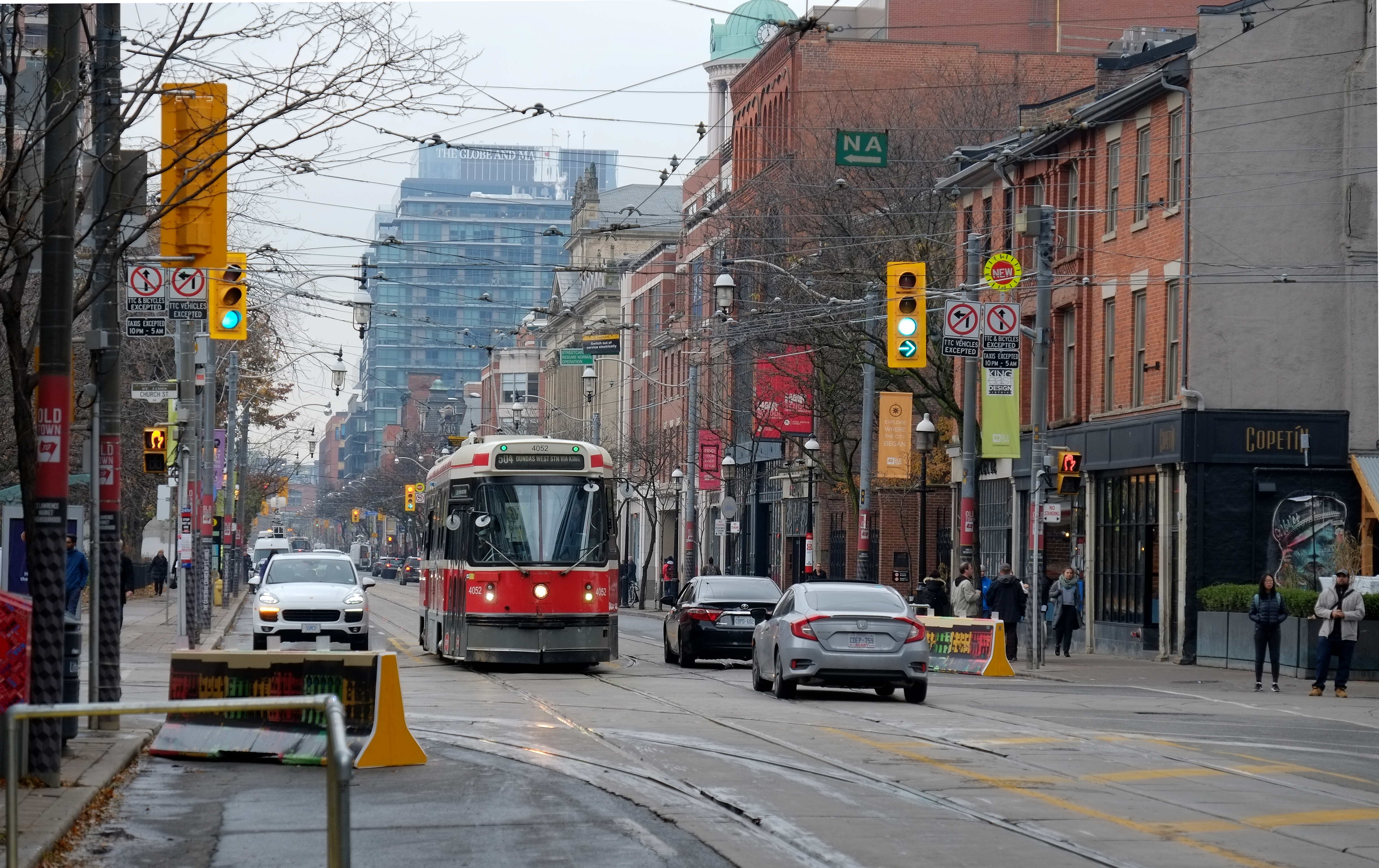
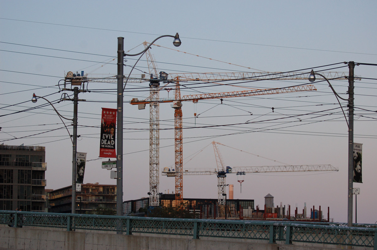
below: Looking eastward along Queen Street West with a web of streetcar wires overhead and many tracks underfoot.   The new Ontario Line subway will cross here with a new Queen-Spadina station being planned.   Between Sherbourne (Moss Park) and Spadina the Ontario Line will be under Queen Street.  West of here the tracks will swing south to a station at King and Bathurst.

looking east along queen street from spadina, people crossing the street, ttc wires above and tracks at street level

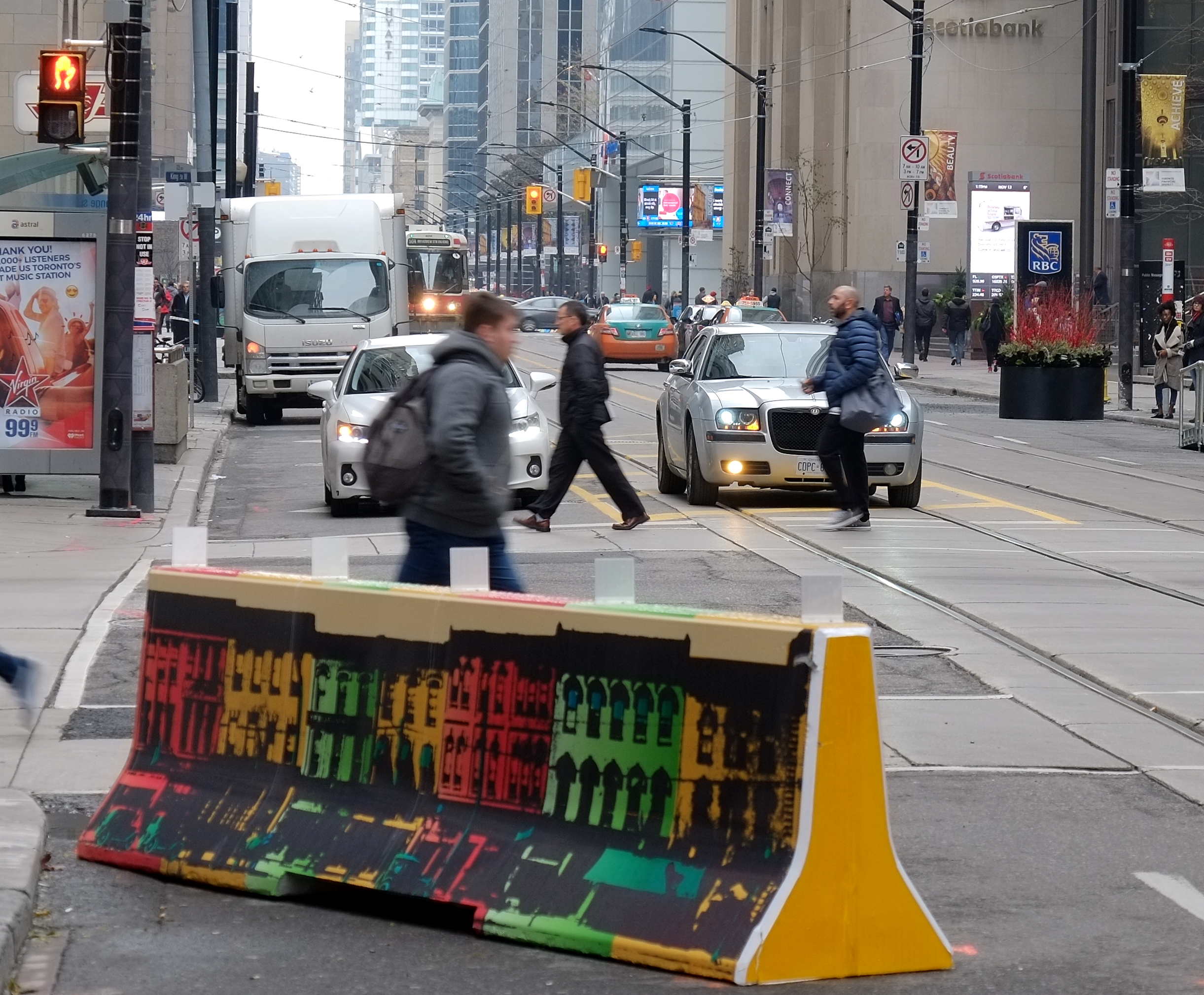
below: Another eastward looking view, this time from a bit farther south at Adelaide, a street that has become canyon-like as it makes it way through the older brick buildings in foreground and then the taller glass buildings as it gets closer to Yonge Street and the downtown core.

people crossing Adelaide Street at Spadina, looking eastward along Adelaide with Yonge street in the distance, large tall buildings on both sides of adelaide

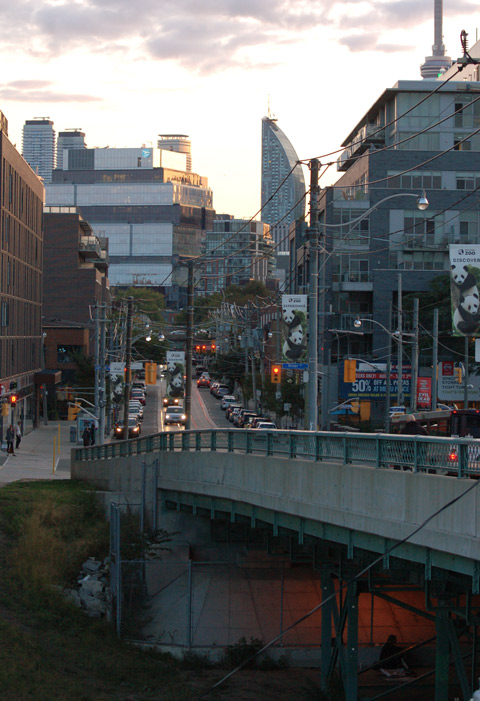
below: And a little bit more south again… the CN Tower rises into the fog as it peeks out between two glass condo buildings at King and Spadina.  South of King is the new development “The Well” that opened recently.  I have blogged about it previously (Well, Well, Well, 27 Nov 2023)

CN tower peaks through between two highrise glass condo buildings, above where two people are repainting a billboard

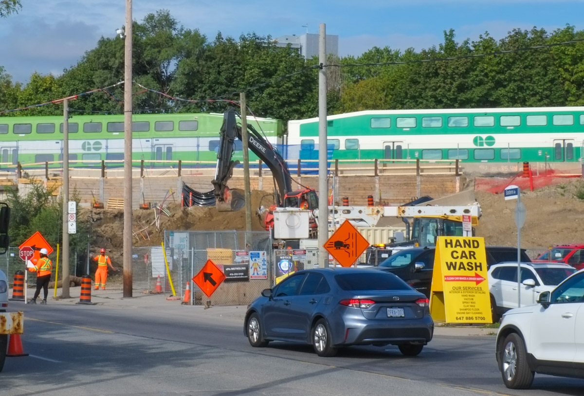
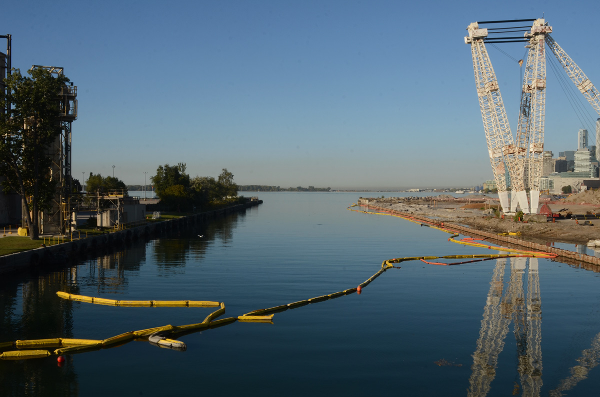
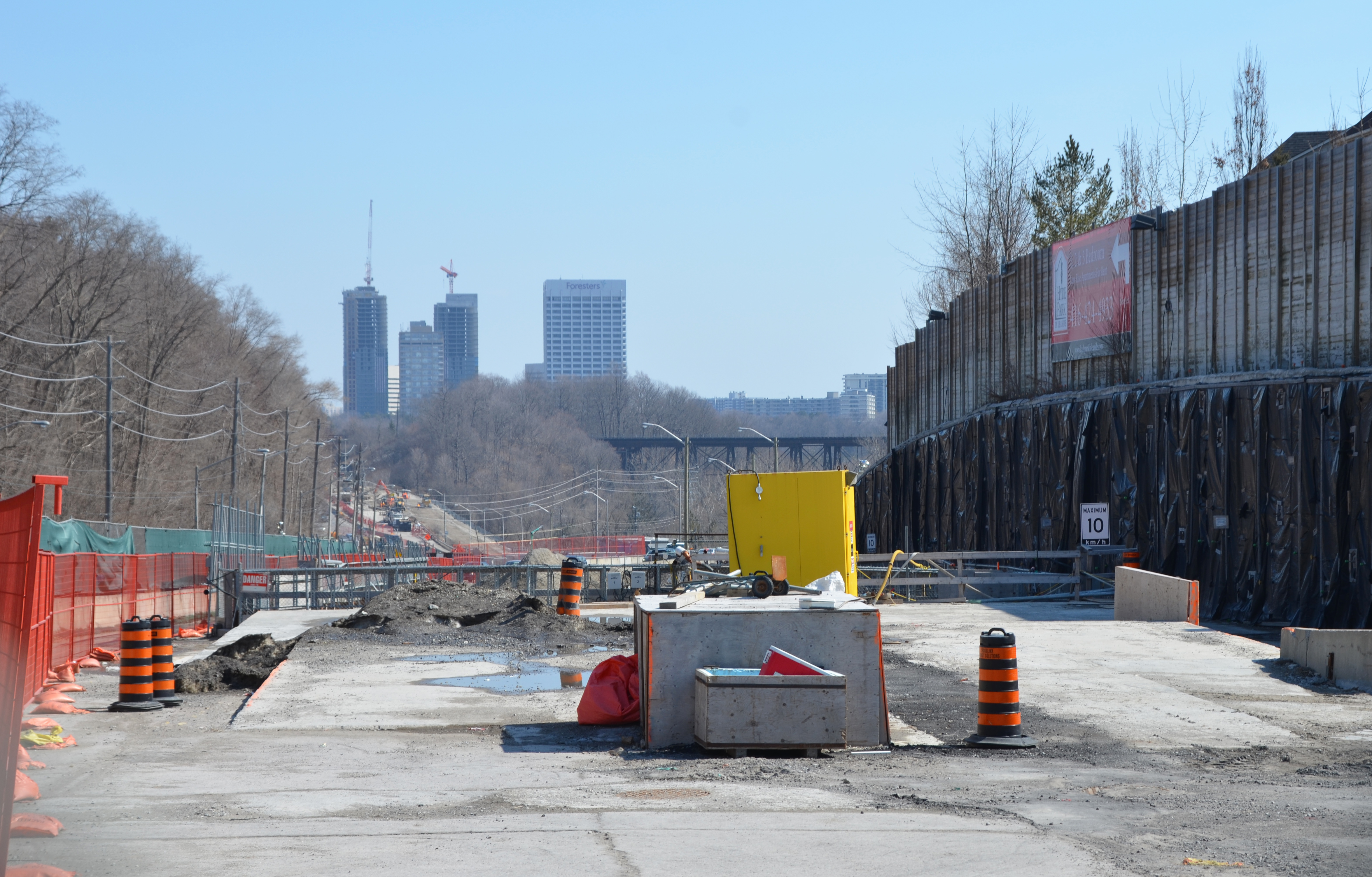
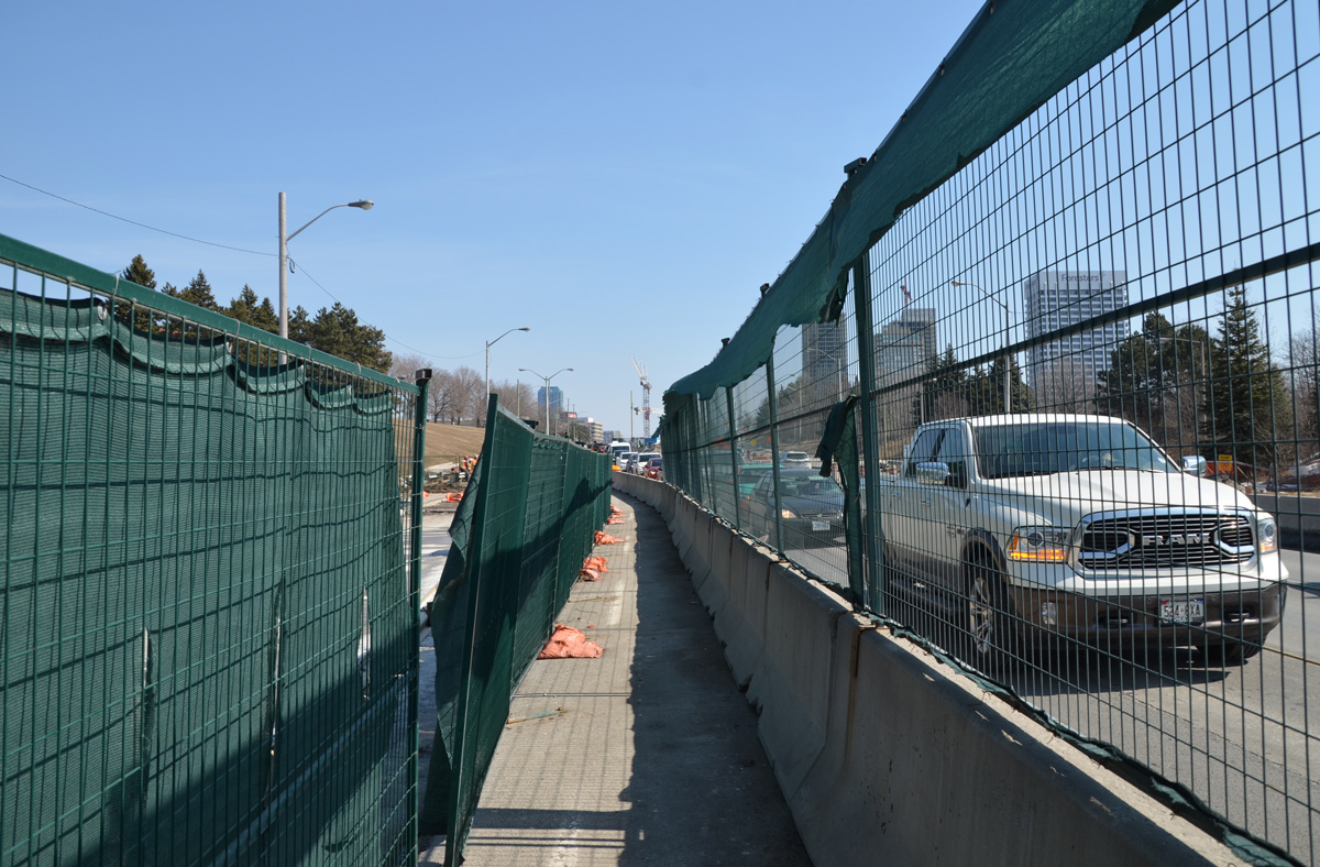
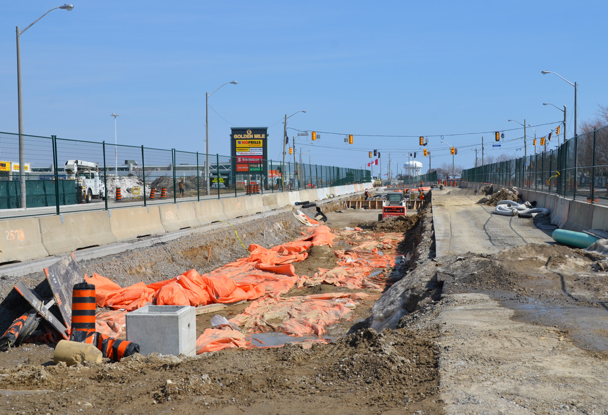
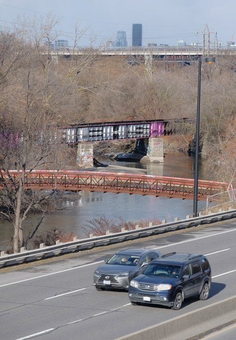
Spadina is also a major access point to Lakeshore Blvd and the Gardiner Expressway.  This section of the road is rather barren if you are on foot (unless you are a concrete aficionado LOL)

below: Another eastward view – Both Lakeshore Blvd westbound (but not eastbound!) and the Gardiner Expressway are elevated and they run parallel as they cross over Spadina.

ramp to the gardiner expressway, plus upper levels of the gardiner, looking east from spadina

below: Standing on the northwest corner of Spadina and Queens Quay.  This is where Spadina ends – at the waterfront with some of the docks and parks that have been redeveloped in recent years.

a couple stands on the northwest corner of spadina and queens quay

below: Looking north up Spadina from Queens Quay.

view from queens quay looking north up spadina, with gardiner crossing over, lots of ttc streetcar wires overhead

below: Look!  Continue walking towards the waterfront but be careful crossing the bike lanes of the Martin Goodman Trail!

on the street, paved with bricks, the word look has been painted in blue on white background,

below: Spadina Wave Deck

Spadina Wave Deck on Queens Quay, where the sidewalk arches up over the water, glass condos rise up in the background

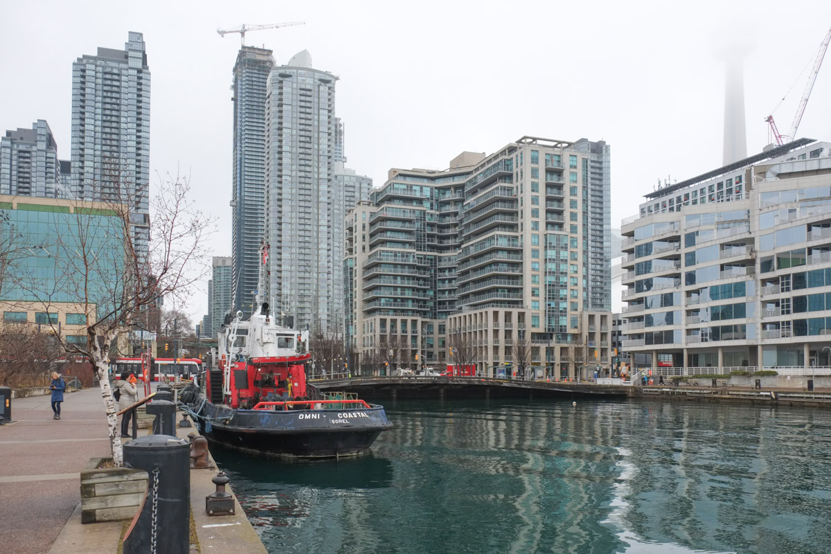
below: The Omni Coastal, a tug boat, is docked at Spadina Quay.

a boat tied up at a dock, with city street scene behind

thick grey rope wrapped around a metal post

below: Pulling back a little farther… the CN Tower is still hiding in the fog.
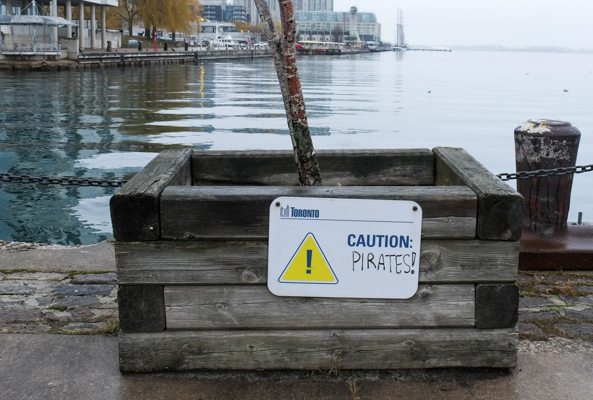
toronto waterfront at spadina quay, omni coastal tug boat is docked, condos on the waterfront, CN tower obscured by fog, grey cloudy day

below: Ahoy matey!

caution sign on a wood tree planter that someone has written the word pirates on, so sign now says caution, pirates!
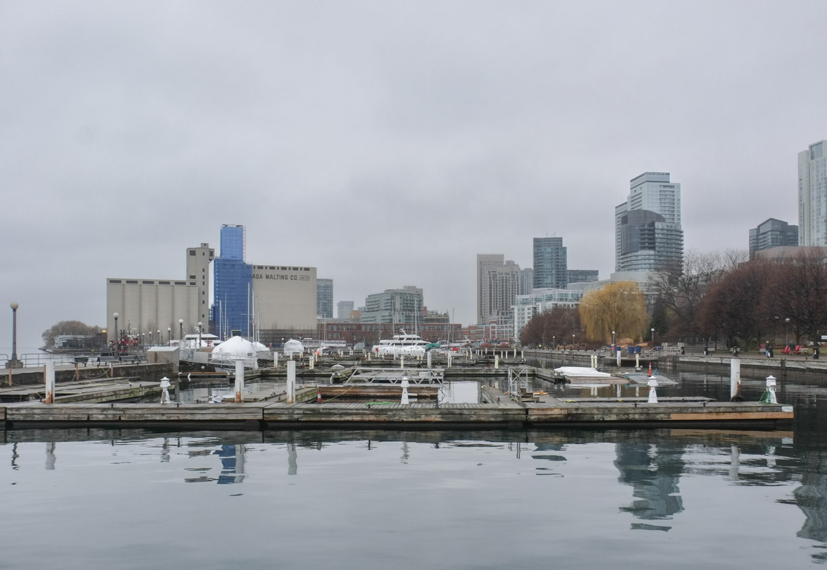
below:   It’s a much quieter scene in the winter when fewer boats are here.  In the background, the Canada Malting Company silos still stand strong.

view of Toronto waterfront, looking west from Spadina Quay, towards large Canada Malting Co silos, boats in the foreground, but not many because it's winter, some wrapped in white, foggy grey day

lamp post, black with downward curved top, in music garden, with condos behind,

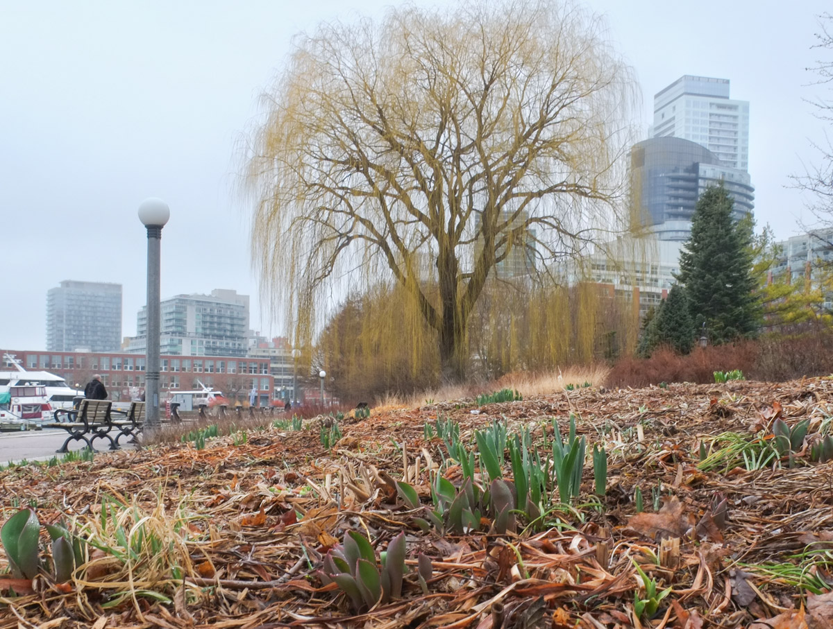
below: Looking for the signs of spring and finding the beginnings of tulips and daffodils in the Music Garden

small daffodils and tulips starting to grow in a garden in front of a large willow tree

small wood bird house with a blue roof hanging from the branch of a tree

below:  Some useful information: “Bathrooms, Where can they be found?”  Number one on the list is Billy Bishop Airport and I can attest to the fact that yes, they have bathrooms (check in the ferry terminal building).

sign on sidewalk on waterfront re information on where to find a bathroom in the area

below: Another red tugboat in the fog – this one is the Radium Yellowknife.

red fire boat docked at Toronto waterfront, on a foggy day

below: The silos have been under wraps as they have been renovated.

scaffolding and blue tarps around the curved ends of the canada malting co silos

below: Built on reclaimed land in the early 1900s, the silos have been empty since 1987 and  had fallen into disrepair.   Although they are now missing a couple of letters, the silos are in much better shape.  I am not sure if there is any use planned for the structures but the site is being turned into a park, Bathurst Quay Common.

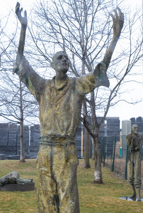
below: If you walk past the silos, you come to Ireland Park with its memorial to those who fled the Irish famine in the 1840s.   The park also has seven sculptures cast in bronze by Rowan Gillespie of Dublin Ireland. The installation is called ‘Arrival’.  These figures match an earlier installation on the Customs House Quay in Dublin, ‘Famine’ (1997).  A third installation in Tasmania Australia completes the trilogy.

In Ireland Park statue of man, very thin, ragged clothes, upraised arms, representing Irish immigrants to Toronto during Irish famine in 1847

head and shoulders of a cast bronze statue of an Irish immigrant at Ireland Park on Toronto waterfront, part of a memorial to Irish immigrants to Canada during the famine years in the 1840s

below: Along the exterior walls of the silos, a few signs have been posted that tell the story of Irish immigration to Canada.  This is one of those signs.

sign half in English and half in French that tells the story of the ship called The City of Toronto that brought irish immigrants to Canada in 1847.

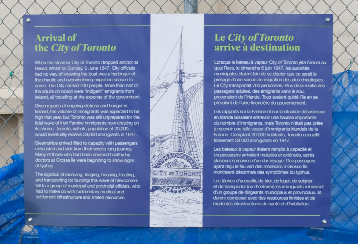
Arrival of the City of Toronto – When the steamer City of Toronto dropped anchor at Rees’s Wharf on Sunday, 6 June 1847, City officials had no way of knowing the boat was a harbinger of the chaotic and overwhelming migration season to come.  The City carried 700 people.  More than half of the adults on board were “indigent” migrants from Ireland, all traveling at the expense of the government. 
Given reports of ongoing distress and hunger in Ireland, the volume of immigrants was expected to be high that year, but Toronto was still unprepared for the tidal wave of Irish Famine immigrants now cresting its shores.  Toronto, with its population of 20,000 would eventually receive 38,000 immigrants in 1847. 
Steamships arrived filled to capacity with passengers exhausted and sick from their weeks-long journey.  Many of those who had been deemed healthy by doctors at Grosse Ile were beginning to show signs of typhus.  
The logistics of receiving, triaging, housing, treating and transporting (or burying) this wave of newcomers fell to a group of municipal and provincial officials, who had to make do with rudimentary medical and settlement infrastructure and resources.

black and white photograph of a woman sitting at the back of a streetcar, looking through the window


Traffic on Eastern Avenue near Broadview has faced construction and traffic delays over the past few months.   The slow downs are ongoing as work on the railway bridge progresses.  This work is because Metrolinx is adding tracks to make room for the new Ontario Line.  Like many parts of the city, there are many changes occurring in the area.

Demolition on the north side of Eastern, and poof,  gone, one large 5 storey Self Storage facility at 356 Eastern. Removed to make way for new tracks.   The beige house faces Lewis Street.

an orange bin sits in a vacant lot where a building has just been demolished

empty bucket of a front end loader sits on the ground beside a man on a ladder who is inspecting roof of building

… and now sitting gutted on the south side is another not old building (South side of Eastern Ave between Broadview and the railway tracks).

by a street construction zone, taller narrow building gutted, empty windows, brick on bottom, black cladding on top

South side of Eastern, from another angle.

empty group of buildings on south side of Eastern Ave., between Broadview and the railway tracks

West side approach to the Canadian National Railway bridge

orange and black traffic cones as well as black and orange signs with arrows directing traffic as Eastern Ave approaches railway bridge at McGee St., from west side of the bridge

west side of Canadian National Railway bridge on Eastern Ave

Along with the new railway line, Metrolinx is building what they are calling the East Harbour transit hub.  This involves a new Ontario Line station as well as a new GO station on the Lakeshore East and Stouffville GO lines. Eventually, plans are to have TTC streetcars or LRT link here (it is directly south of Broadview and there is a plan to extend Broadview).

below: Construction along the railway line, south of Eastern Ave

construction site south of Eastern Ave., west of the train tracks, a man with a red shovel is clearing a now vacant lot

text graffiti in blue and white on the side of a railway bridge, water tower in the background

below: One side (the east side) of the railway tracks has been demolished.  Ultimately the whole bridge will be replaced but it is being done in stages to allow GO trains and VIA rail trains to continue running throughout the process.

bridge on eastern avenue with west side of railway track demolished

white folding chair sitting on sidewalk under railway overpass

A constant flow of dump trucks back and forth, in and out, of the construction site south of Eastern (on both sides of the railway tracks).  The 38 acre site that includes the old Lever Bros (Ponds, Sunlight etc) soap factory is being redeveloped at the same time – it extends south to Lakeshore and west to the Don River.

red dump trucks entering and exiting a construction site

Looking west on Eastern Ave, back towards downtown.

looking west on Eastern Ave., back towards railway bridge that is half demolished, traffic on the streets

green and white double decker go train on tracks, passing by a construction site

red dump truck being filled up with dirt

405 Eastern Ave, immediately east of the railway bridge, is also under construction.  It has nothing to do with transportation as it is a new Enbridge building.   A large 3 storey building with both offices and industrial (computers?) will probably be built here.

new concrete building being constructed on eastern ave

Makes sense, gas pipelines on site.

behind a chainlink fence, no trespassing sign, enbridge property

CCTV sign warning, on a chainlink fence, natural gas pipeline

Just north of Eastern Ave, the railway tracks cross Queen St East., crossing over a bridge of the same style and vintage.   Once upon a time this was a level crossing with a railway station on the northwest corner, the Riverdale station on the Grand Trunk Railway.  This is soon to be the location of the Riverside Leslieville station on the not yet built Ontario Line.

plaque describing history of riverdale railway station beside a concrete wall, with drawing of street map of part of toronto

So far the bridge is still intact but it too will be completely changed by the time Metrolinx is finished.  The station itself will be on the bridge (if their drawings & plans are to be believed).

Here there will be 6 tracks – 4 for GO Transit and 2 for the Ontario Line.

At the end of last year there was some controversy about removal of some of the trees from the park in front of Osgoode Hall to make way for Metrolinx and the new Ontario Line subway. (see post here – tree removal ).

Well, the trees did come down and subway construction has begun.  The northbound lanes on University Ave north of Queen are closed and of course traffic chaos has ensued.

below: One entrance to Osgoode station on the southwest corner of Queen and University (looking north).  On the Metrolinx website, the old building that now houses Rexall will become a new entrance to the subway.   Or at least the facade of the building from 1929 is being retained.   Before it was a Rexall drug store it was a CIBC branch.

entrance to Osgoode subway station on the southwest corner of Queen and University

below: Pedestrians crossing Queen Street, east side of University Ave (looking south)

university avenue

below: The other entrance to Osgoode station is on the northeast corner of University and Queen. (Looking south in this photo.)  A new entrance is planned for this location too except that it will be within the black wrought iron fence that surrounds Osgoode Hall.   This frees up space on the busy sidewalk.

entrance to Osgoode subway station on the northeast corner of Queen and University

construction sign, danger, sidewalk closed

below: The bike lane on westbound Queen Street comes to an abrupt end and the corner is quite dangerous.

orange fence around part of University Ave., a cyclist approaches the intersection
Walking north on University Avenue

a woman in black robes walks up the sidewalk on University ave

Canada Life building on University Ave

a police man in yellow vest watches over a construction site on University ave

a digger, construction site, digging up street, University Ave

red and white danger due to open excavation sign on a wire fence

two newspaper boxes on sidewalk beside orange construction fence

below: Looking south on University from Armoury Street.  This is the section of University that is closed to traffic.

looking south on University Ave from Armoury street where one side of the boulevard is closed to traffic because of subway construction

below: University Club of Toronto, a Georgian building, with just one edge of the US Consulate General visible on the left side of the photo.

armoury building on University Ave

below: Weaving of traffic at Armoury Street (in front of the US Consulate General).

intersection of Armoury and University

The middle of three new bridges built for the Port Lands redevelopment has just been opened to traffic.

looking north up cherry street through new yellow and white curvy bridge

The bridge may be open to traffic, but the area is still a construction zone!

Eventually Cherry Street will be realigned so that there is no jog in it at Lakeshore.    At this point in time, the south part of the realignment is closer to completion.  This is where the new bridge is.

Commissioners Street has been extended westward to join the new segment of Cherry Street.

 below: This is the east intersection of Commissioners and Cherry (looking east).  Yes, it’s a mess!  There are traffic signals even though only two of the four approaches are open.  If you are traveling south on Cherry, you have to turn right onto Commissioners.

cherry street and commissioners street intersection, canary diner restaurant, construction, port lands redevelopment

below: Same intersection, looking west.

intersection of Cherry and Commissioners street, construction, police watching over, trucks in intersection, new traffic signals

below: New part of Commissioners Street

construction along the west end of Commissioners street in the port lands, with the toronto skyline in the background

below: The west part of Commissioners ends here

dead end street, Commissioners street, west end, fence and no entry signs, traffic lights

below: If you stand in the same place as the above photo but turn to your right, this is the view that you see.  This is the new part of Cherry Street being realigned to match the section north of Lakeshore Blvd.  The new bridges over the Keating Channel are in place but there is still a lot to be done before this part of Cherry Street can be opened.

Glooking north where the new part part of Cherry Street is being built, new double bridge to go over the Keating channel as well as condos in Distillery District are in the background

below:  Looking south… It is the middle bridge that has been opened to traffic first.  It is located approximately where the T ‘n T grocery store used to be.  An interesting line of large boulders!

new Cherry Street bridge with its yellow curved lines, large rocks in the dirt in the foreground, construction still in progress

below: This is the view from the new bridge looking west.  The large white crane structure predates the construction.  The channel has always been here as it provides water/ship access to the Lafarge cement site on the south side of the waterway.  What is new is that the channel is being extended eastward to join the mouth of the Don River.

view from the Cherry Street bridge new bridge, towards Lake Ontario, Toronto skyline in the background, construction equipment in the foreground for the redevelopment of the Port Lands

below: Traveling northbound

a cement truck and a ttc bus on Cherry street on the new bridge

two cyclists pass over the new Cherry Street bridge in the bike lane

below: Looking east from the bridge.   Pinewood studios in the background on the right.

looking east from port lands yellow bridge, overlooking construction in port lands

below: Another view to the east but slightly more south.  This time Pinewood Studios is more to the left in the photo.   A pedestrian bridge is already built to span the new water channel that is under construction.

port lands redevelopment, noew pedestrian bridge over new water channel that is being created

temporary pole with pedestrian crossing light at an intersection in a construction zone, a cyclist is passing through, new port Lands bridge in the background

below: Looking north up Cherry Street towards the Distillery District.  The old, and now closed part, of the street is being torn up.  The new street and bridge are to the left in this photo.

port lands construction site, starting to tear up the old part of Cherry Street, distillery district condos in the background

port lands construction site, starting to tear up the old part of Cherry Street, distillery district condos in the background

big yellow machinery digging up the asphalt from an old road and placing it in a dump truck

a man in a red shirt walks two dogs on the sidewalk along Cherry street, towards construction and the new bridge, TTC bus in the oncoming lane of traffic

orange construction sign that says be prepared to stop, haul trucks entering and exiting, with construction, and a large dump truck beside and behind the sign

below: To the south, the lift bridge on Cherry Street is being refurbished but not replaced.  This part of Cherry Street is not being moved.

looking south at Cherry Street to lift bridge that is being refurbished

in the early morning sun, stairs in the sunlight beside a bridge, going down to the water, an old building and its reflections behind

One part of the city that has changed immensely over the past few years is the area near Spadina and Front streets.  I was in the area last night and had a few moments to spare so I thought that I would take a look at what’s there now.

below: Waiting for the 510 streetcar

back end of a new TTC streetcar, at a stop on Spadina, people waiting, a man is on his phone as he waits, condo behind

below: Looking south on Spadina approaching Front Street.

looking south on Spadina near Front, streetcar stop and shelters in the middle of Spadina, some people waiting for streetcars, 2 small trees, tall condos in the background

below: Many cranes working at the site of the old Globe & Mail buildings on the north side of Front Street, just west of Spadina.

3 cranes at construction site on Front Street where Globe and Mail used to be

below: Intersection of Spadina & Front, looking southwest

looking southwest at intersection of Spadina and Front, condos

below: Looking west from Spadina as it crosses the railway tracks.

yellow metal pedestrian bridge over the railway tracks, looking from Spadina bridge, condos in the background, lots of tracks, no train

below: City Place, south of the tracks.  Red sculpture is ‘Flower Power’ by Mark di Savero.

red sculpture in front of condo buildings

below: On the south side of the railway tracks, east side of Spadina, part of Northern Linear Park.

trees in a small park along the side of the railway tracks, condos behind

below: There is still a parking lot on the northeast corner of this intersection. This image is the view across the parking lot to City Place.

looking across parking lot at north east corner of Spadina and Front towards the traffic and lights at the intersection, billboard, people

below: Reflections in the clear and green glass of a new building on Front Street, just east of Spadina

reflections in clear and green glass

below: Waiting for the light to change

a young man sits on his bike and checks his phone while waiting at an intersection for the traffic lights to change

below: And once we started walking across the intersection, I loved how her skirt moved as she walked.

a woman's long red skirt moves as she walks across the street

a food truck

looking through blue see through fencing towards an apartment across the street, a pedestrian crossing sign in front, a danger due to excavations sign on the fence.

Back before the winter snow had melted, I was at Yonge and Eglinton and noticed that the old bus bays at Eglinton station were gone. That structure had sat empty for a couple of years but now there is a big hole where they once stood. As I looked through the pictures that I took that day, I decided that it might be interesting to explore farther east to see what was happening with the Crosstown LRT construction that has messed up the traffic through midtown for so long now.

below: Southwest corner of Yonge & Eglinton.

large hole in the ground at a construction site, diggers and a crane onsite

below: There is still a lot of construction underway on Eglinton near Yonge.

holes in the ground on construction sites on Eglinton Ave for the new crosstown LRT, shoring, wood and pipes

below: A little father east and more holes in the ground. This is the intersection of Eglinton and Mt Pleasant taken from the SE corner looking towards the NW. At least the facade of the old Imperial Bank of Canada building on the NW corner was originally going to be used as the LRT station but have those plans changed? The building was demolished but apparently the facade was taken apart brick by brick and will be re-built later.

holes in the ground on construction sites on Eglinton Ave for the new crosstown LRT

below: This is the plan for the Mt Pleasant station as seen on the Crosstown website.

artists conception of a new LRT station with a re-purposed older building

below: Looking west from Mt. Pleasant.

cain link fence and gate is open, construction crew in the middle of Eglinton Ave (at Mt Pleasant) is working with a digger, hole in the ground

below: Between Laird and Brentcliffe (east of Bayview). See those low rise brick apartment buildings? How long until they’re gone?

red and white tim hortons sign with an arrow pointing left at a long grey fence around a construction site, sidewalk, street, and low rise buildings on the right, Eglinton Ave

two 3 storey red brick apartment buildings

below: At Brentcliffe. The LRT is underground here and there is no station at this intersection. Laird, where there is a station, is only one block to the west.

Eglinton Ave east at Brentcliffe

below: From Brentcliffe, Eglinton goes downhill because of the Don River ravine system

looking east on Eglinton, towards Don Mills Road in the distance, construction in the foreground

below: Part way down the hill there is a section of concrete. At first I thought that this was where the LRT was going to come to the surface.

concrete section of road, construction

below: But then I wasn’t so sure. There is a concrete wall blocking what would be the exit. It’s difficult to get a closer look because there are two layers of fencing in the way. Nobody was working here. In addition, there is another section farther along that looks like the actual opening. Maybe this is part of the supporting infrastructure?

two fences in front of a dug out section of road, with concrete wall at one end.  One f the fences is orange, wire,

below: Still walking east along Eglinton…. Almost to the bottom of the hill at Leslie – looking east along Eglinton Avenue with E.T. Seton Park on the right and the railway bridge in the distance. Leslie Street, which ends at Eglinton, is on the very left side of the photo. There is talk that this intersection will be closed for two months this summer.

looking east along Eglinton Ave towards Leslie, on the right is the road to the park and beyond that, a railway bridge

below: I turned around and took a picture of the hill that I had just come down. Here the LRT surfaces and the tracks run down the center of the road, with lanes of traffic on both sides of the tracks. I am fairly certain that you can see the entrance to the tunnel, the east portal, near the middle of this picture. From here to Kennedy station the tracks are above ground (except for a portion of the route at Don Mills).

traffic drives west along Eglinton Ave., up the hill from Leslie, through the crosstown LRT construction

below: The sidewalk on the south side ends at Leslie street. Here, I chatted with a policeman while we waited for the light to turn green. Once he did, he escorted me across Eglinton as we had to pass through part of the construction zone. This is where I also discovered that there are no bus stops between Brentcliffe and Don Mills Road. That’s only 2 km but it feels a lot longer!

on the south side of Eglinton, where the sidewalk ends at Leslie street, looking east beyond that with construction on the right

below: A development proposal sign stands on the lawn of what used to be the Inn on the Park but what is now a Toyota dealership.

development proposal sign on the lawn of what used to be the Inn on the Park on the north east corner of Leslie and Eglinton

green netting and fencing on both sides of a narrow sidewalk running between construction and traffic.

below: The station at Don Mills and Eglinton will be called “Science Center” and it will be under the intersection.

LRT track path being constructed,

below: There will be a bus terminal on the northeast corner of Don Mills Road and Eglinton with underground access to the LRT station. This is what construction looks like on that corner at the moment.

underground sections of LRT being constructed at Don Mills and Eglinton, crane at work, metal frame over tunnel

Just east of Don Mills Road, the LRT surfaces again and remains above ground until Kennedy station. I took the bus from Don Mills Road to Victoria Park as there wasn’t as much to see in this stretch.

below: Looking east from Victoria Park Avenue.

shallow but wide hole in the ground where new LRT tracks are being laid. construction in prep for the tracks, green fencing separates construction from traffic on both sides,

shallow but wide hole in the ground where new LRT tracks are being laid. construction in prep for the tracks, green fencing separates construction from traffic on both sides, water tower in the distance

concrete utility pole with two ripped paper temporary bust stop signs, TTC, stops no longer in use

Fall, Leaves, Fall
“Fall, leaves, fall; die, flowers, away;
Lengthen night and shorten day;
Every leaf speaks bliss to me
Fluttering from the autumn tree.
I shall smile when wreaths of snow
Blossom where the rose should grow;
I shall sing when night’s decay
Ushers in a drearier day.”
by Emily Bronte


As the leaves fall, bare branches are left behind and on a sunny day they make for wonderful shapes and shadows.  Riverdale Park, Broadview side.

tree in Riverdale Park, November, Bloor Viaduct in the background, also some highrise buildings

below: The more common angle for photos taken at Riverdale Park, the angle with the Toronto skyline in the background.  I wasn’t as interested in the skyline yesterday, it was the trees and shadows that I was focusing on.

trees in Riverdale Park, Toronto skyline and CN Tower in the distance, grass, long shadows, no leaves on the trees.

below: There is a pedestrian bridge over the Don Valley Parkway that connects the two sides of Riverdale Park.  This is view looking south.

looking south from a bridge over the Don Valley Parkway road, with cars driving north and south, looking towards bridge at Dundas Street, Don River to the right,

below: Two cars and three bridges.  This is from the same bridge as above, but this time looking northwest over the Don River towards the Bloor Viaduct.  The CPR bridge is in the middle (with the graffiti) and the pedestrian bridge for the lower Don Trail is the orange-brown one.

two cars driving on the Don Valley Parkway, past the Don River and two bridges over the river. In the distance is the Bloor Viaduct, trees, and some apartment buildings.

below: While crossing Riverdale Park, I spotted this sign.  It’s behind a chainlink fence and partially hidden by shrubs and small trees.  From where I was standing I could hardly see any water that one might use for a rink.   There is a pond back there – it’s the pond at the bottom of the hill on the Riverdale Farm property.

surrounded by small trees, a wooden sign with yellow lettering that says Danger Skating Prohibited by law.

below: The irregular curves of the trees contrasted with the lines and diamonds formed by the staircase that leads down into Riverdale Park (or up from the park!)

looking down a hill covered by dead leaves, a set of stairs winds its way up the hill, some trees too

below: More trees – this time in the Necropolis cemetery.

Necropolis cemetery, some tombstones, a pine tree, a tree with autumn leaves and some trees with no leaves, green grass

below: A tree of a different kind.

the shadow of a tree and all its leaves on a wood fence in an alley

a small amount of snow and ice on the ground, some leaves that have fallen off trees and are on the ground.

Nothing Gold Can Stay
Nature’s first green is gold,
Her hardest hue to hold.
Her early leaf’s a flower;
But only so an hour.
Then leaf subsides to leaf.
So Eden sank to grief,
So dawn goes down to day.
Nothing gold can stay.
by Robert Frost
***


below: The Virginia Creeper leaves have turned and fallen and left the berries behind to dry and wither.  This plant is found all over the city, especially in the lanes and alleys.

blue berries on vines, no leaves, on a wood fence

below: Brilliant colour of the berries on the Bittersweet Vine. This plant produces a yellow berry that bursts open to reveal a red interior.

orange and red berries on vines, black background.

below: Another sign that it’s November, the snack bar by Riverdale Farm is closed for the winter.

the front door of Park Snacks, a building on a corner, pale turquoise with lots of decorative finishes, a wood door, pink and cream coloured trim,

below: An open gate, leading past the burning bushes to the front door.

a wrought iron fence and open gate in front of a brick house built in the workers cottage, or gothic cottage, style. Red leaves on burning bushes type shrub on either side of path leading to front door

below: A Lab patiently waits by the door.

red double door, front door of house, porch with pumpkins on it, also a dog, a labrador retreiver, lying on the porch

below:  Another front yard and another dog… This vintage fire hydrant, decorated as a dalmatian in a fireman’s helmet.  There is newer yellow fire hydrant closer to the sidewalk in the same yard so I suspect that this one is not functional.

vintage fire hydrant in a front yard, faded painting of a dog on it, face, and some blue spots, cap of hydrant is painted like a fireman's hat.

below: More silliness – a brick wall with a tiny window in what used to be a larger arched window.  Now it’s only big enough for a toilet paper roll.

a brick wall, an old arched window has been bricked in, leaving a small window, in the window is a roll of toilet paper

below: I’ll end this post with a couple of unicorns even though they have nothing to do with fall. But who doesn’t like unicorns? Especially when there’s a bit of awesomeness too.

in a shop window, two toy unicorns, a book about unicorns, and a book about the 100 things about being awesome

I was meeting a friend at Queen and Church for walkies and coffee last Monday. I was there a few minutes early so of course I took a few pictures while I was waiting. I had come across King Street because the streetcars tend to be faster on King these days. Plus, it was a nice day for a walk.

below: Looking north up Church Street from Richmond.

looking north on Church St. from Richmond Street, stores, street, people, street scene,

below: Metropolitan United Church is on the NW corner of Queen and Church. Even if you aren’t religious, there is something inspiring about the architecture. In this case, the setting adds to the grace and beauty of the building.  Usually there are people around but it was surprisingly quiet that day (too cold outside?)

front of Metropolitan United Church, with the snow covered park in front, snow, large trees, red door

below: Take a few more steps towards Metropolitan United and then turn around. This is the view that awaits you. The intersection of Queen and Church from a different angle.

looking at the intersection of Queen and Church, through the park, with yellow building and other stores in the background

below: As I walked back to the intersection, this man walked in front of the streetcar. I think that he called himself either Cowboy Bob or Cowboy Bill.

man in long coat and hat stands in front of a TTC street car with his arm up in the air.

below: Church #2. Jarvis Street Baptist Church.

Jarvis Street Baptist Church, from diagonally across the intersection

below: Yes, there are a lot of churches in this section of downtown. This is the third (and last for today’s blog) but there are many more. Grace Church through the trees.

park, in winter, with large mature trees, in the background is Grace Church, brick building with green roofed steeple

below: A stop at Allan Gardens conservatory for warm and a washroom. If this picture is looking a little fuzzy around the edges, my camera lens kept steaming up faster than I could wipe it off.

inside shot at Allan Gardens conservatory, with two people looking at the plants, glass roof, large yellow flowers

below: Every Christmas, the conservatory at Allan Gardens is decorated with many amaryllis plants. The other day, many were looking a little worse for wear. These buds were a few of the exceptions. At some point (soon?), the Christmas plants will be switched out for spring plants.

close up of two small red amaryllis buds at the bottom of a red and white amaryllis.

below: Barrel cacti in differing sizes in the Allan Gardens conservatory.

4 barrel cacti of differing sizes in a semi-circle in a conservatory, glass house, with some succulents in front and some taller cacti behind

below: And just around the corner from Allan Gardens there is this painted cactus (or is it a succulent?) standing in the cold.

a metal telephone or traffic box on the sidewalk that has been painted with a picture of a cactus.

below: This part of Church Street is now in McGill Granby Village. There is even a lovebot on the pole.

street sign for Church St., with the top part being McGill Granby Village

below: “Enough is enough”, a large Church Street mural.

large mural on the side of a two storey building, with metal fire escapes on the side of the building as well. Mural is enough is enough, rainbow flag and other things

below: On Church Street, another redevelopment victim.

old, large, three storey red brick house with boarded up windows, about to be redeveloped, people walking past on the sidewalk, winter, street scene,

below: And just up the street, another.

an older two storey house house boarded up with construction hoardings in front, looking at it through a park with large trees, winter

below: Trucks, construction, and condos. Ho hum. Been there, done that.

large truck parked on a street with tall buildings behind, and a large billboard with a KFC ad on it

below: One set of construction hoardings has been decorated with kids’ paintings.   Bright and cheerful.

white construction hoardings with childrens paintings on it. a painting of a soccer ball, kids playing, words too

below: Through the layers

looking in a window, people sitting inside, looking through the window on the other side as well, a large tree is reflected in the window too

below: Icicles!

older yellowish brick building with green bay window, with icicles on the eaves of bopth roof and window

below: Trudeau senior looks down on the world.

 a large black and white picture of Pierre Elliott Trudeau in the window of the Ryerson Image Center, with a tree in front of it, some snow on the tree

below: The guys over the entrance to the Chang School at Ryerson are wearing little puffy white hats.

stone sculpture of the door of the Chang School at Ryerson, two men with interlocking arms, looking at each other, wheat, apples, and other produce in their hands, covered with snow


below
: As we walked past Yonge Dundas Square, I stopped, took another look, and then said: “Isn’t that a new sign?”. My walking partner replied that she wasn’t sure. Neither was I.

Yonge Dundas Square, men working on sign

I happened to walk past Yonge Dundas Square again yesterday, and yes, there is a new sign. A big one.

below: “It’s OK to be scared, just take a deep breath” as the fourth panel of the new sign is installed.

a large crane is putting part of a new light sign in place at Dundas Square, large billboards and lighted signs behind, people walking past, street scene

below: Working on the new sign. That billboard on the left, 98.1 CHFI is all Christmas music? Still? In February?

two men on a lift are working on a new elevated sign at Dundas square

C’est too for now friends!

Is there anyone who doesn’t complain about driving in Toronto?
Does anyone have a solution that we can all agree on?
No.

Yesterday Toronto began an experiment on King Street. An experiment that CBC called a disaster on its first day.   This morning I went to check it out for myself.  It was mid-morning so there weren’t many cars.   Also, weekday drivers and Sunday drivers downtown are different.  On weekdays it’s the regulars who know the roads because they drive them all the time.   Does that make a difference? – I’m not sure.

below: At most intersections between Bathurst and Jarvis, traffic is not allowed to proceed straight through – you must turn right.  Streetcars and bicycles are the exceptions.  The traffic signals now have advanced green arrows to allow cars to turn right before the pedestrians cross the road.    Taxis are allowed to go through only between 10 p.m. and 5 a.m.   You’ll notice that the left hand land has been painted with yellow stripes, i.e. no cars here!

white arrow painted on road directing traffic to turn right

below: Two more changes have appeared. First, the streetcar stops have been moved to after the intersection instead of before. Second, small barricades block the right hand lane after the intersection. These two changes have the effect of blocking cars who try to sneak through on King Street. If there is a streetcar, you’re stuck behind it. I did see a car try to pass a streetcar (on the left) but it was unsuccessful.

streetcar stopped to let on passengers, cars behind it on the street

Many cars were disobeying the new traffic signs, some out of confusion  and some blatantly flaunting the rules.   Cars would pull into the right turn lane but then go through the light anyhow.

below: I wasn’t the only ones watching the traffic.  Global TV was at King and Jarvis while CTV were stationed at King and Church.

Global TV car and truck parked on King street, street car about to pass them

below: CBC interviews people at King & Yonge as a black GMC goes through the intersection.

CBC reporter interviewing people on the sidewalk, traffic on King sreet, a black SUV making an illegal straight through the intersection,

below: The lighter traffic makes for easier illegal left turns!

a black car makes an illegal left turn at King and Church streets

below: Taking pictures of drivers doing illegal things was like shooting fish in a barrel. There were a couple of police cars around but so far there are few consequences to doing what you want. It’s early days yet, right? Apparently starting next week, the fine for illegally going straight through the intersection will be $100 and 2 demerit points.

traffic and street cars on King Street

I have one suggestion and that is to change the traffic lights so that the only green is a right turn arrow. The streetcars would have their own light – something like the ‘white line light’ that is used at King and Sumach as well as at Eglinton and Duplex. Having an ordinary green light is almost giving mixed signals to the drivers.

below:  Hey!  Mr. Bentley watch where you’re going!

two cars waiting for a red light. a white car and a grey Bentley, pedestrians crossing the intersection in front of them.

Take care out there!

Shorter day light hours + autumn weather (no snow yet!) = an evening of playing with light and shadow.  I came out of the subway at Queen station and decide to “chase the light”.  It was a perfect evening for a walk and I wanted to make it last as long as possible.   For the most part I stayed on Queen Street although I will admit to straying onto Shuter for a block or two.  It’s not the prettiest part of the city but every place has potential, from a photographic perspective anyhow.

below: The new (replacement) pedestrian walkway over Queen Street that will link the Eaton Centre with The Bay.

glass pedestrian bridge over a street, Queen Street, with traffic and people as well as an ambulance, late afternoon

below: City reflections in both glass and polished stone.

reflections in a stone and glass building

below: The curve of street car wires at Queen and Church.  A wall of peeling paint, as well as a ghost sign, provides the backdrop

the curve of the streetcar wires in front of a wall that was painted white but the paint is peeling to reveal the brick below.

below: The east wall of St. Michaels Cathedral (RC) with reflected light, as seen across a construction site.

one end of St. Michaels Cathedral with reflected light falling on it, new buildings and construction surround it

below: The same church from a slightly different angle.

close up of part of a church roof and window with reflected light on it.

below: Angels

wooden angel cutouts decorate the roofline of a small building

below: Pigeons, old Bell phones and the Moss Park Discount Store.  Not so much light here but I liked the wall.

two Bell telephone booths, small version, mounted on a wall with street art painted on it, beside the window of a convenience store with a 649 ad in the window. Sign over the window says Moss Park Discount Store

below: A long way from home.

people standing on a corner waiting to cross the street, including a woman dressed in blue who is using a walker, plus two Morman men in their white shirts and black ties.

below: A large double billboard is black beside the old building.   The building is at the corner of Ontario Street and Brigden Place.   It was built in 1911 as a 4 1/2 storey warehouse for the Newell Company and their Dominion Envelope Company.  It was one of three buildings that they owned in the area.   After WW2 the building was purchased by J.D. Carrier Shoe Company (the ghost sign!).  Today it has been renovated as lofts and studios.

evening light shines on an old white brick building, a large billboard as seen from the end, is in front

below: A small section of the back of the Moss Park Armoury, a Canadian Forces building constructed in the 1960’s.

part of a wall, vertical stripes of brick sections and white sections, narrow windows in the white sections, 3 windows in total

below: A quick break from chasing light…. you never know what you’re going to encounter downtown, and of course you have to stop and take advantage of the opportunities when they arise, so here we have a slight diversion!  I’m going to assume that the background of their pictures is much better than the background of this picture!

a bride and groom embrace while three photographers take their picture. on a sidewalk of a city street

below: As evening falls, the lights come on in the bus shelters.
You can thank (or curse) Astral Media for that.

a lit advertisement in a bus shelter of two men in Roots clothes, a young man sits on the bench in the bus shelter while two people walk past it on the sidewalk

below: King Street and Queen Street merge just before they pass over the Don River and the Don Valley Parkway.   The green railing in the photo below is on the bridge over the DVP, the buildings and cranes are on the other side of the river.

evening light, cityscape with many construction cranes, light poles and utility poles and wires, evening,

below:  Upstairs, downstairs.  Looking west along King Street from the Don River.

looking along King street from beside ramp over the railway tracks - light under the bridge shows someone sitting there, city scene in the rest of the photo

Once the light fades beyond a certain point, contrast is limited and dullness creeps into the resulting photos.  It’s too late for well lit photos and too early for pictures of city lights.  But it’s a great time to stop and find some dinner!