The Eglinton Crosstown LRT will be 19 km long once it’s finished in 2021. The other day I posted some pictures of the construction between Yonge & Victoria Park on the eastern section. This post covers the stretch from the Allen Expressway to Weston Road where the tracks end in the west.
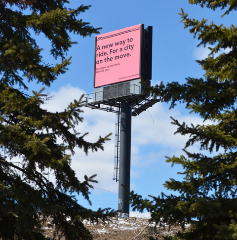
below: A new way to ride. For a city on the move. Cringe worthy design.
below: Approaching the south end of the Allen Expressway as well as Eglinton West subway station from the east. Eglinton West station, on the Yonge University line, is low building with a flat concrete roofline. You can hardly see it in the photo, but it’s there. The interior of the present station is heavy on the concrete, a legacy from the 1970’s. As to whether or not this will be renovated, I don’t know.

below: No room for the sidewalk so it diverts through Ben Nobleton park.

below: Working under Eglinton Avenue in front of Eglinton West station. Once the Crosstown in open, this will become Cedarvale station.


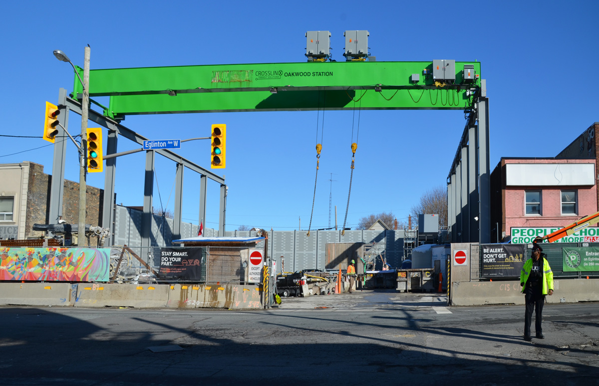
below: The big green crane at Oakwood station
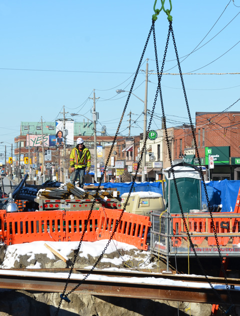
below: Beside Oakwood station with all the “Open for Business” signs. Businesses in the area are struggling.


below: At Dufferin, looking north towards Central Seventh Day Adventist Church. Fairbanks station will be at this intersection.

below: Also at Dufferin, this time looking south towards St. Hilda’s towers.

below: Photobombed!


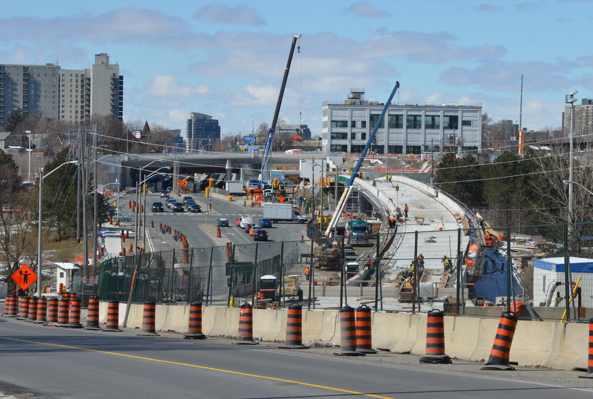
below: Construction of Caledonia station in front of Westside mall. Because this station is adjacent to the Barrie corridor (GO train), plans are in the works to build a GO station here too.

below: A mural showing the evolution of TTC streetcars, painted by Jim Bravo in 2017, with supported from Fairbanks Village BIA, Josh Colle (city councillor), the City of Toronto., and Sherwin Williams paint.

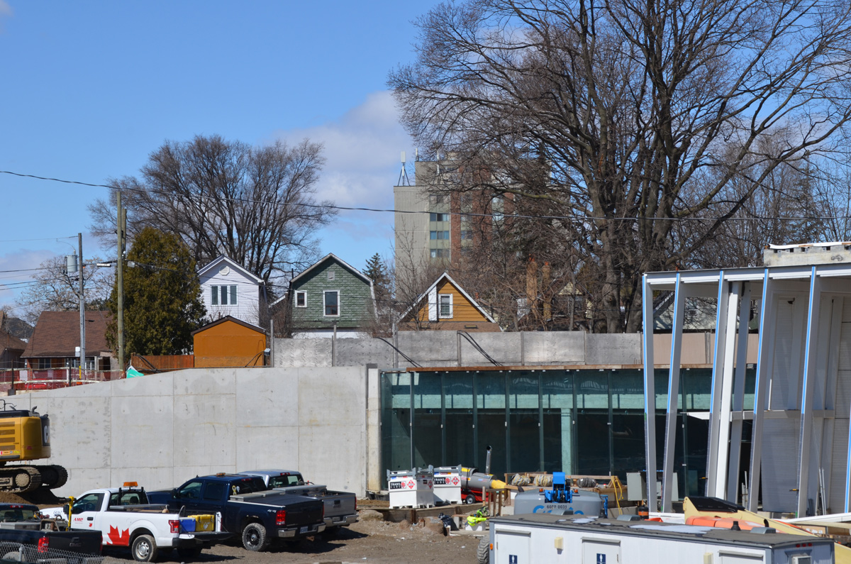
below: Construction in front of York Memorial Collegiate (at Keele).

below: looking east along Eglinton from Keele.


below: Working on the westernmost section of the LRT after it emerges from underground between Keele Street and Black Creek Drive. As you can see, the tracks are elevated and cross over Black Creek before entering the terminal station at Weston Road (Mount Dennis station).

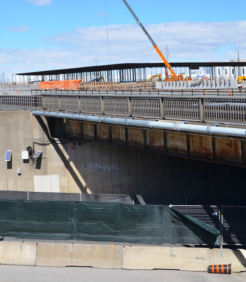
below: The western end of the line. The bridge is new. I am a bit annoyed because I didn’t pursue it – I don’t know where the road goes! It has to go somewhere because I saw at least two vehicles on it. A quick search on google maps plus a guess equals maybe it’s an extension of Photography Drive (named that because it’s where the old Kodak factory was).

below: There is pedestrian access to the bridge, or rather, there will be access.

Then Eglinton Avenue passes under the railway tracks (the same line that the Union Pearson Express runs on) and into Mount Dennis.
below: Construction of another access to Mt Dennis station to the west of the railway tracks.

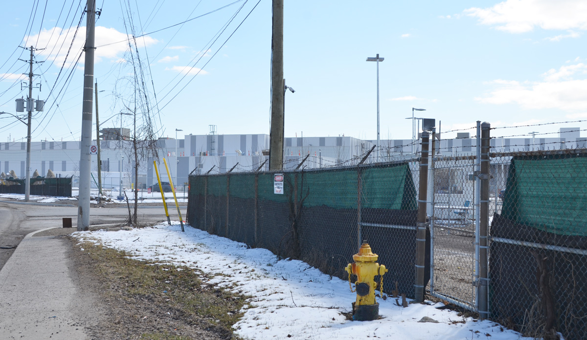
below: The EMSF aka the Eglinton Maintenance and Storage Facility is almost finished. It’s the long low grey building in the photo; it is about the size of 4 football fields. Access is from a side street to the north of Eglinton. This isn’t the best photo of it. If you are interested, there is a better photo online (a ‘Toronto Now’ article) that is taken from an angle that I can’t access. The same article describes how the Mt Dennis station will be the second largest transit hub in the city (after Union Station) as it will service GO trains, the TTC, and the Union Pearson Express.
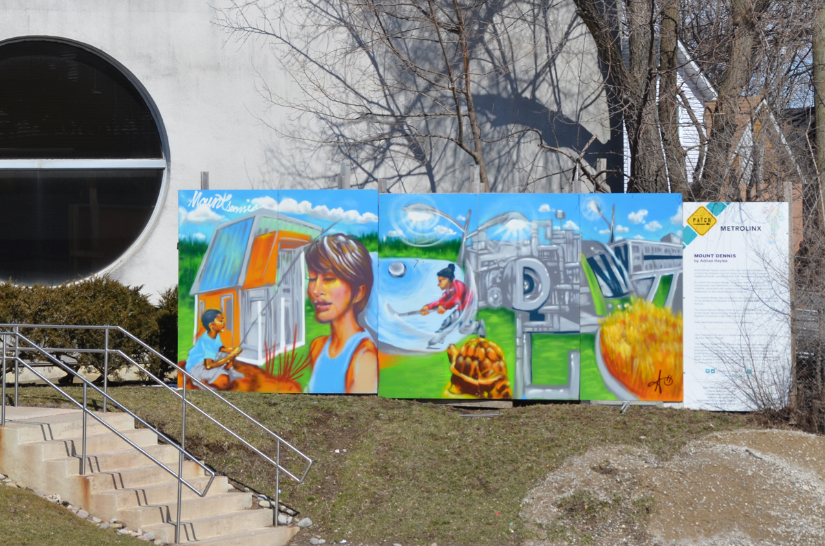
below: mural by Adrian Hayles at the northeastern corner of Weston Road and Eglinton Avenue.