Archive for the ‘locations’ Category

I’m not sure what the allure of the cherry (aka sakura) blossoms is.  Has it become a symbol of spring and who doesn’t like the long awaited end of winter?  Is there something special about the cherry flower?  Or is it more ‘exotic’ than the magnolia that flowers about the same time, or a bit earlier?  Why not celebrate the lilac trees?  Or other trees that blossom in the spring?

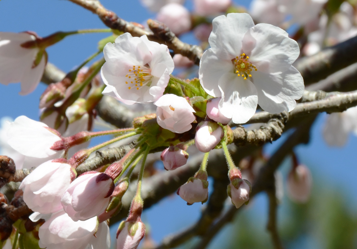
below: A couple of cherry blossoms along with some buds and partially opened flowers.

sakura cherry blossoms on a cherry tree along with some pinkish coloured buds, white petals and yellow centers.

Although there are a number of places around the city to see sakura trees (14 I think), High Park seems to be the most popular place.  True, they have the oldest trees and the most trees planted in one area.   It has become the site of an annual pilgrimage by thousands of people to see the blossoms.   Even though the ‘sakura watch’ website said that ‘peak’ blossom hadn’t yet arrived, I decided to check out High Park yesterday.

below: Lots of signs to direct pedestrian traffic to the cherry trees.  The roads were closed to most cars.

pink sign on the grass by the entrance to High Park that says Please keep of the bloomin' trees.

large trees in the park, people walking on the path on the other side of the trees, green grass, shadows, some blossoms on a couple of the trees

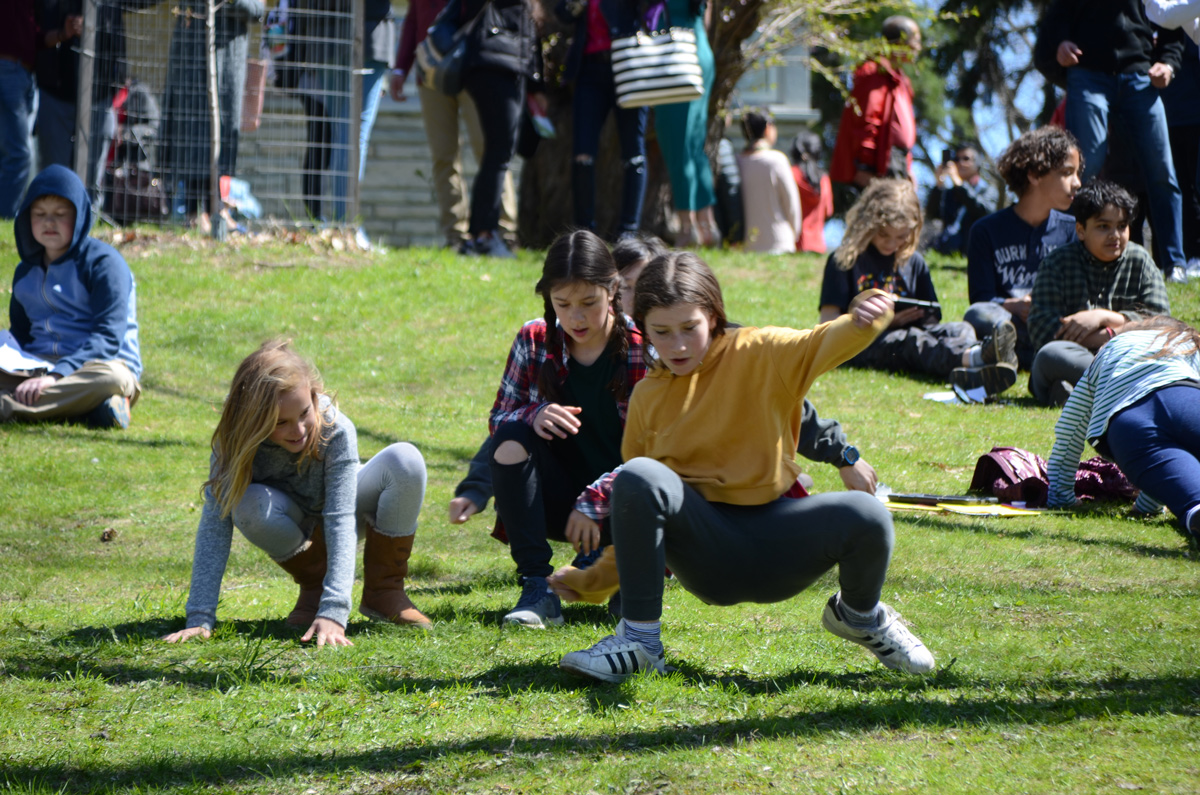
below: There were a couple of school groups there for the morning. Although there weren’t too many blossoms to see, it was a beautiful spring morning and many of the kids were making the most of it.

three girls have a crab walk race down a small hill

a black person walks a dog on a leash up a hill on a paved path through HIgh Park, other people are behind. Some pink and white flowers are starting to grow on the trees

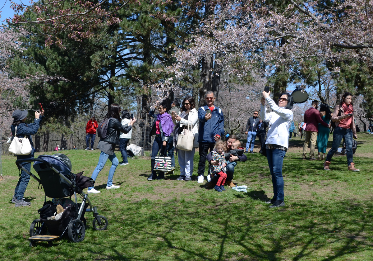
below: An Instagram moment I suspect.

an Asian woman with a bright pink handbag holds a branch of a cherry tree in front of her face while another woman takes her picture with a phone.

people enjoying a day in the park, some taking pictures of cherry blossoms

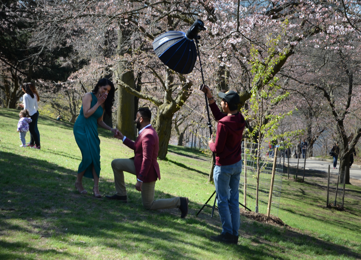
below: An engagement photo shoot

an engagement photo shoot at high park, man on his knee presenting a woman in a bluish green dress a box that presumably has a ring in it. Another man is holding a stand with a large light on it.

Yesterday there were many more buds and partially opened flowers than there were blossoms.  By the weekend, there will probably be a profusion of white petals… as well as a swarming of people.  I had to search for flowers to take pictures of but at least it was a relatively quiet and peaceful morning.

sakura cherry blossoms

a gold coloured weather vane with a rooster on it, bright blue sky in the background

Once again, it seems that no matter where in the city you go there will be construction.  There will be the demolition of single family homes to make way for condos or at the minimum, blocks of rowhouses.   The area around Yonge and Finch is no exception.

apartment building in the background, a street of single family dweelings in the foreground, early spring so no leaves on the trees, a few cars parked in driveways

I am not sure if it serves any purpose, perhaps it’s futile, but I’d like to think that documenting what we are removing is worthwhile.   The houses on Finch Avenue East like the one in this picture are small, but the lots on which they sit are large.

small white bungalow with brown roof, on large piece of land, car in driveway

That means that a developer can demolish four houses and turn around and build 17 townhouses in the same space.    That is what is happening near Finch and Willowdale.

three small white bungalows with windows and doors boarded up, small trees overgrown around them.

Although the properties were not fenced off, all access to the houses themselves was blocked, sigh.  It looked like a local garden centre was using the backyards of a couple of the houses.

side door of a white wood house with rickety porch and steps. three trees growing besie it, door is boarded up

below: View to a new development on the other side of Finch Avenue.  This is the type of development that the area is now zoned for.  A lot of these townhouses have been built in the last few years and I suspect that eventually they will replace all of the single family homes.

view looking down a driveway, two empty houses - one on each side of the driveway. Can see across the street to new townhouse development on the other side.

single family homes and large trees on Finch Ave

single family homes and large trees on Finch Ave

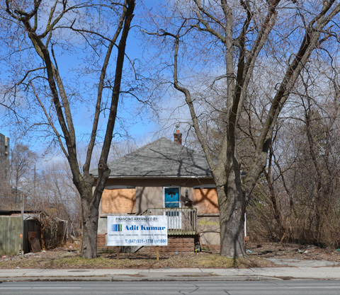
Between Willowdale Avenue and Yonge Street, there were a couple of other houses that are boarded up and empty. I am not sure what the plan is for them (there was no development proposal sign posted, instead there was a sign advertising the company that is providing the financing – for what?).

small bungalow with blue door, windows boarded up, large tree in front yard, apartment building behind,

The internet can be a wonderful thing.  In case you are interested, the development is the Ava Luxury Residence and it calls for heights and densities that are vastly over what is zoned for in the area.  For example, at 9 storeys it is 37 metres tall in an area zoned for 11 metres.  The plan was first filed in 2016 but because of the size of the development, it requires a zoning by-law amendment, official plan amendment, and site plan approval to effect the proposal – all which take time.   An OMB appeal pre-hearing was scheduled to occur a few days ago, with a hearing slated for June.  MM170085 is the OMB case number if you want to dive down that rabbit hole.

small bungalow with blue door, windows boarded up, large tree in front yard, sign in front yard advertising financing

This is 50 Finch East.  As you can see, there is a taller building on the other side of Kenneth Avenue.  Kenneth was to be the dividing line – keeping the higher buildings, and denser development, closer to Yonge Street.  I’m not sure what side of the development battle you’re on, but what’s the point of having a plan if the developers (with help from the OMB) keep disregarding it?

small bungalow on a corner lot, with windows and doors boarded up, larger apartment building behind.

As I walked back to my car, I chose to walk on a side street instead of on Finch.  As I turned a corner, I happened upon a house being demolished.  Fortuitous.  Serendipity.

a yellow digger loading rubble from a house demolition into a dump truck

It doesn’t take long to reduce a house to rubble and dust.  “Another one bites the dust” springs to mind.

close up of a digger demolishing a house

And so it goes.

large painting of a face, street art, yellowish skin, small moustache and beard, glasses, eyes looking straight ahead

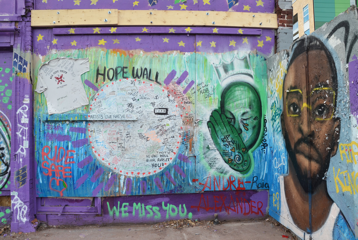
Hope Wall on Spadina Ave., near Kensington Market.

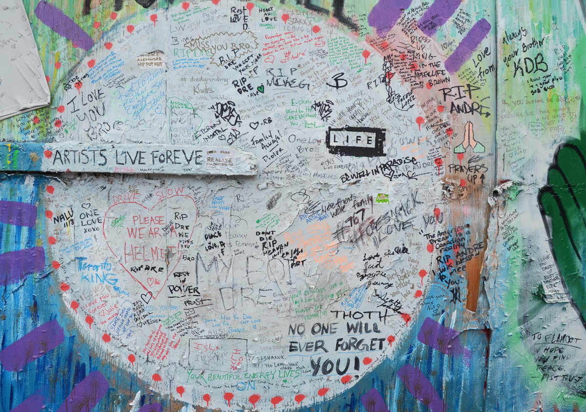
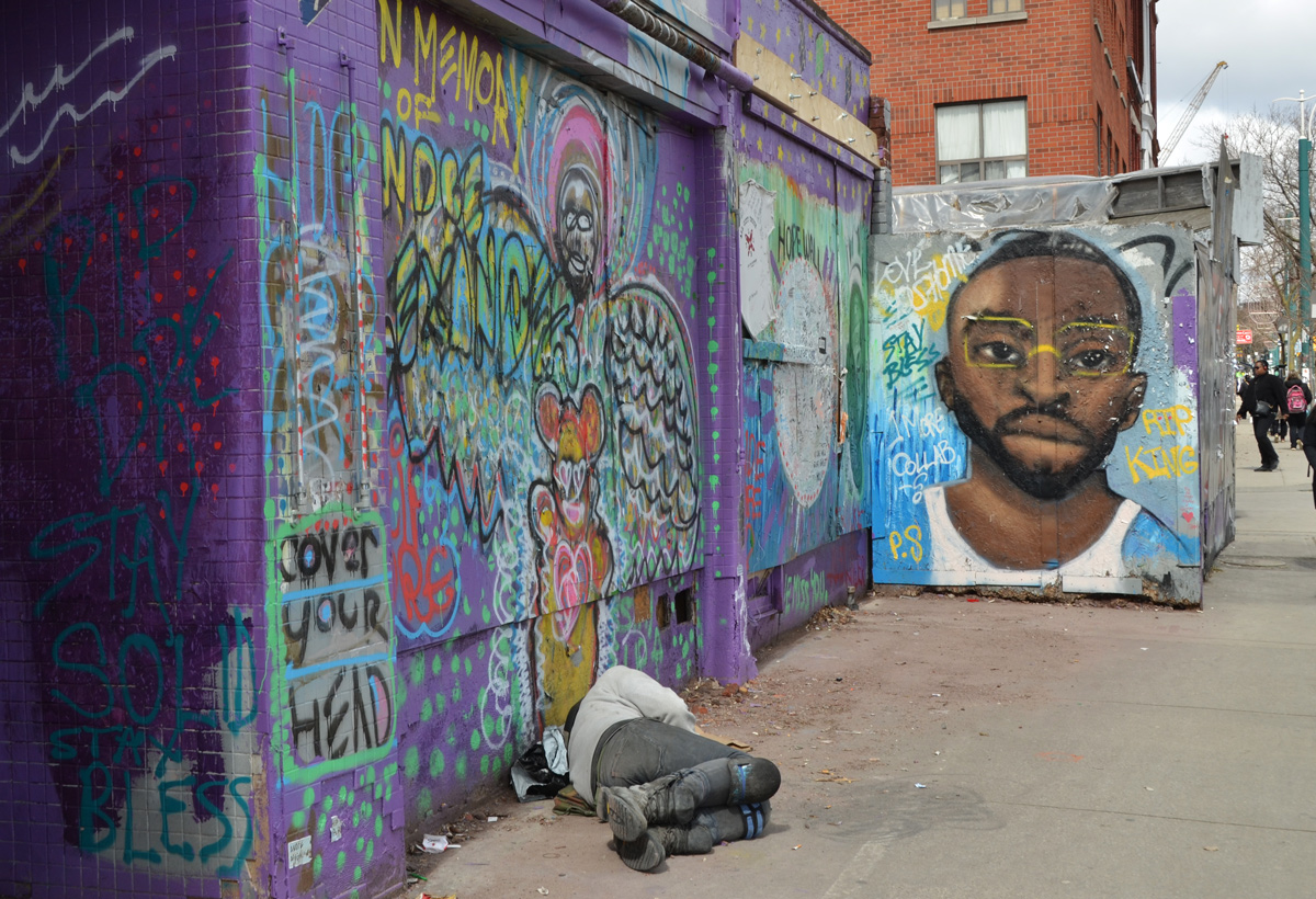
wall, plywood hoardings, covered with paint and graffiti as a Hope Wall, in memory of Andre Alexander who was killed when hit by a car. painting of his face, plus large space for people to write messages, on Spadina near Kensington Market,

below: Messages written on the wall for Andre Alexander, aka Hip Pop Art who died in October 2018.

messages written on a wall

a man sleeping on the sidewalk in front of a wall covered with street art, graffiti and art in memory of Andre Alexander who was an artist who worked in Kensington

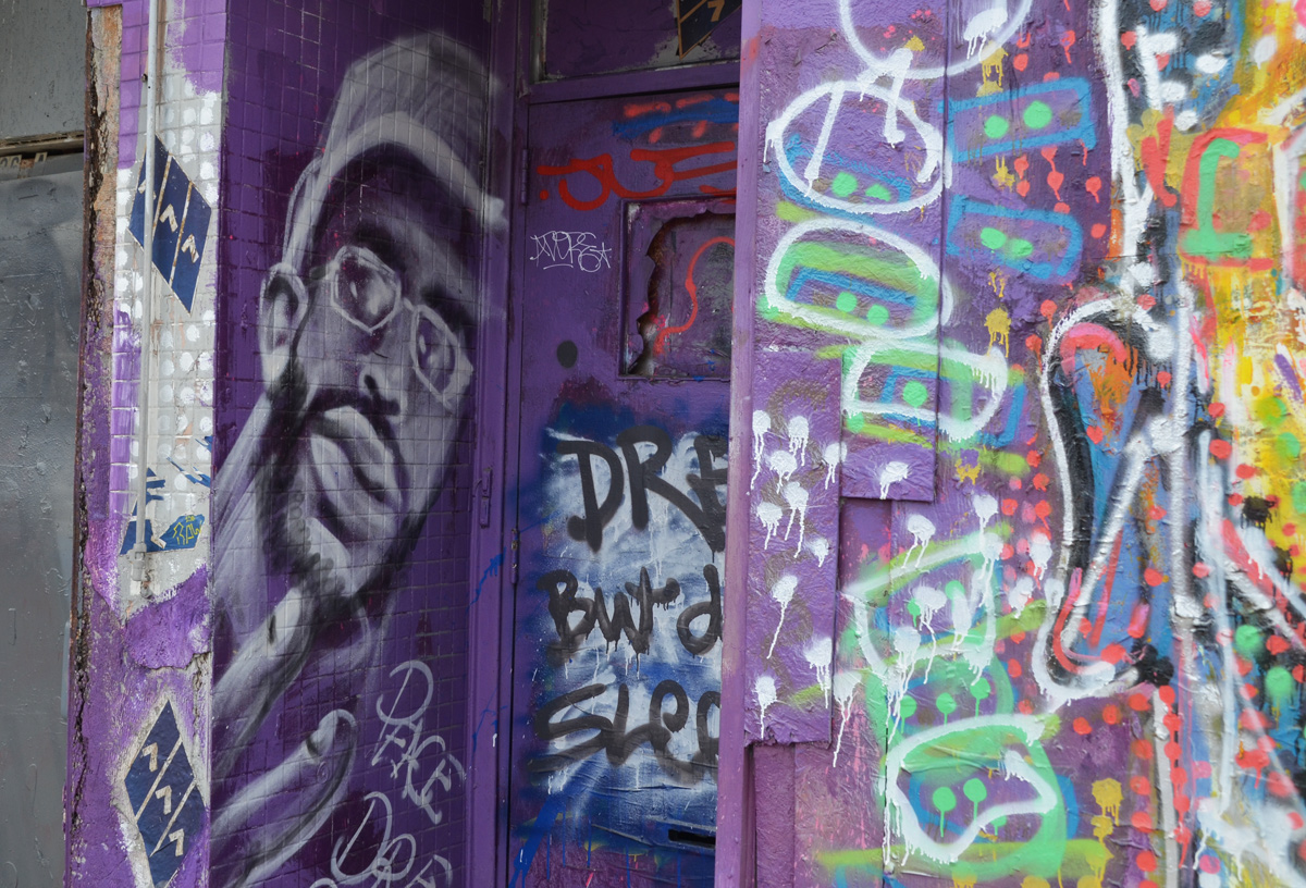
wall and doorway painted purple, a black man's face in greys on one side of the entranceway, other graffiti too


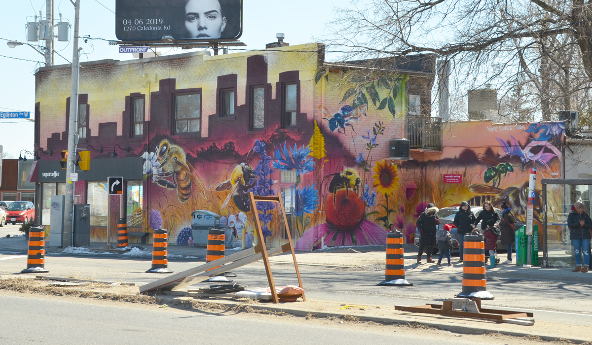
large mural on the side of a building, bus shelter and stop to the side with people waiting. Mural is by Nick Sweetman and features many bees and flowers, very large bees

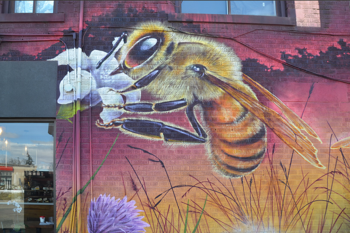
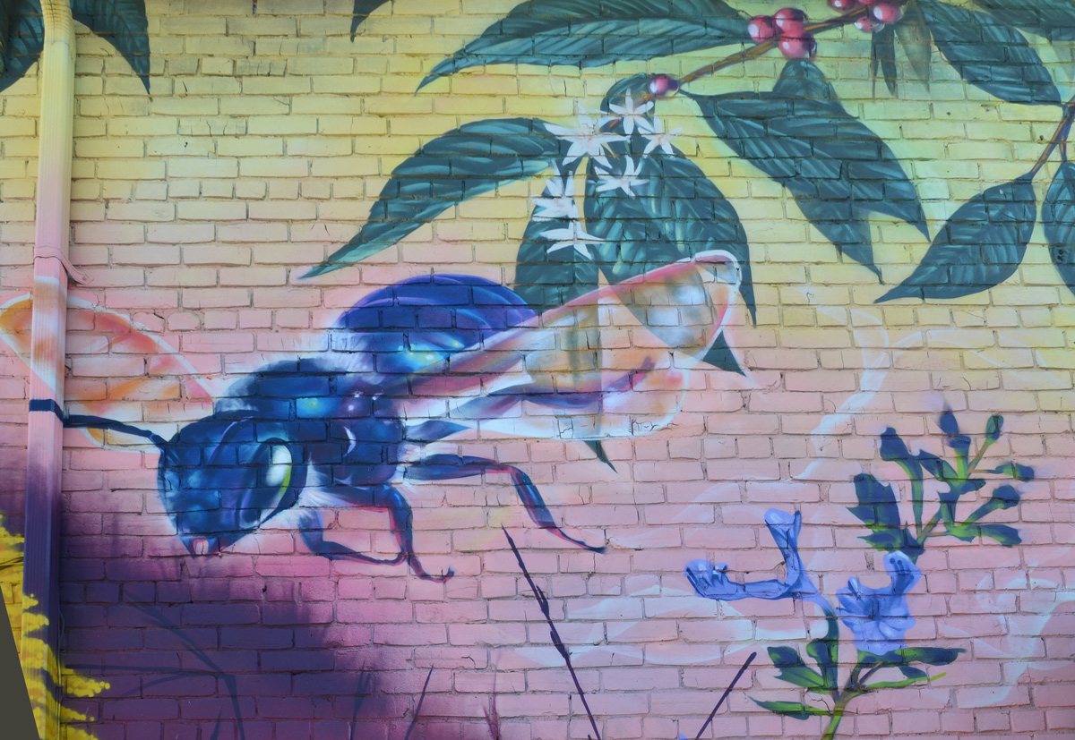
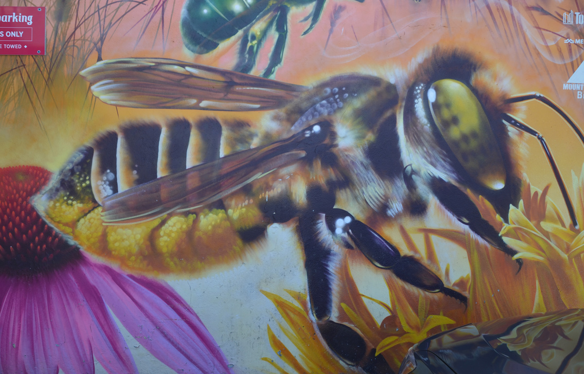
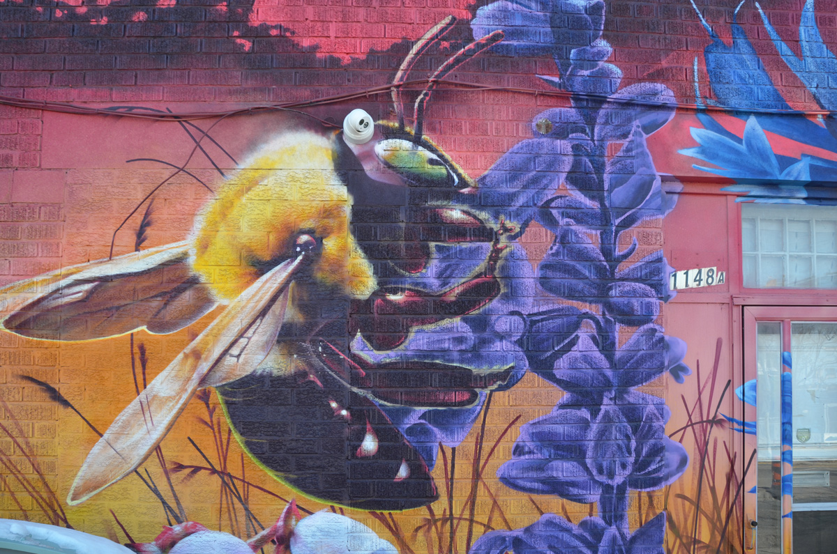
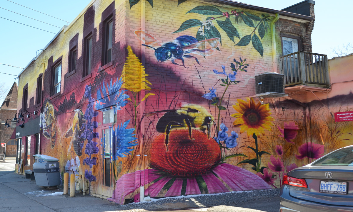
On the southwest corner of Weston Road and Eglinton Avenue West, on the side of Supercoffee, is another large, colourful Nick Sweetman pollinators mural.  It features 6 different types of bees commonly found in Toronto.

below: Honey bee (apis mellifera)

part of a nick sweetman pollinators mural, a bee

below: Bumble bee (bombus affinis)

part of a nick sweetman pollinators mural, a bee on top of a purple coneflower

below: Mason bee (osmia conjuncta)

part of a nick sweetman pollinators mural, a blue bee

below: Carpenter bee (xylocopa virginica)

part of a nick sweetman pollinators mural, a bee on a purple flower

part of a nick sweetman pollinators mural, corner of supercoffee building, several bees and many flowers

below: Green Sweat bee (augochloropsis metallica)

in a mural of bees, a small green bee, a sweat bee,

below: Leafcutter bee (megachile latimanus)

large painting of a bee on a flower, part of a mural, leaf cutter bee

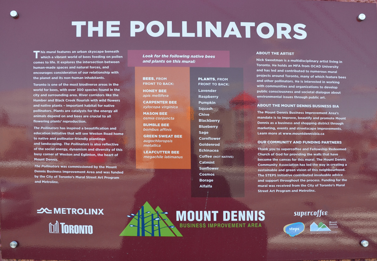
The mural was commissioned by the Mount Dennis BIA with help from the City of Toronto’s Mural Street Art Program as well as Metrolinx.

a sign that describes Nick Sweetman's mural of bees and pollinators in Mt Dennis

“This mural features an urban skyscape beneath which a vibrant world of bees feeding on pollen comes to life. It explores the intersection between human-made spaces and natural forces, and encourages consideration of our relationship with the planet and its non-human inhabitants. Toronto is one of the most biodiverse area in the world for bees, with over 300 species found in the city and surrounding area. River corridors like the Humber River and Black Creek flourish with wild flowers and native plants – important habitat for native pollinators. Plants are catalysts for the energy all animals depend on and bees are crucial to all flowering plants’ reproduction. “

looking through blue see through fencing towards an apartment across the street, a pedestrian crossing sign in front, a danger due to excavations sign on the fence.

Back before the winter snow had melted, I was at Yonge and Eglinton and noticed that the old bus bays at Eglinton station were gone. That structure had sat empty for a couple of years but now there is a big hole where they once stood. As I looked through the pictures that I took that day, I decided that it might be interesting to explore farther east to see what was happening with the Crosstown LRT construction that has messed up the traffic through midtown for so long now.

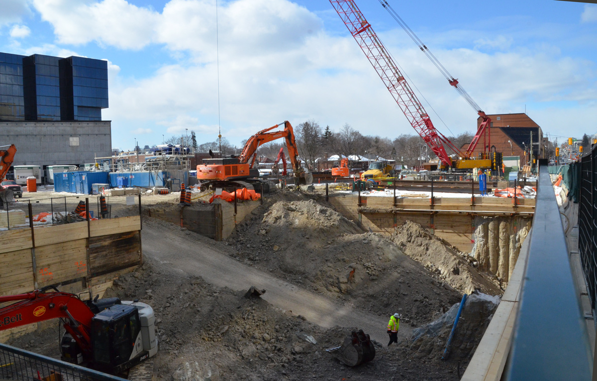
below: Southwest corner of Yonge & Eglinton.

large hole in the ground at a construction site, diggers and a crane onsite

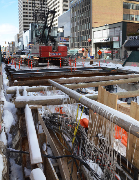
below: There is still a lot of construction underway on Eglinton near Yonge.

holes in the ground on construction sites on Eglinton Ave for the new crosstown LRT, shoring, wood and pipes

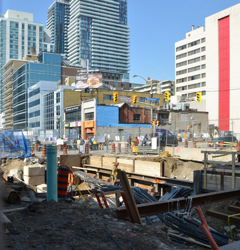
below: A little father east and more holes in the ground. This is the intersection of Eglinton and Mt Pleasant taken from the SE corner looking towards the NW. At least the facade of the old Imperial Bank of Canada building on the NW corner was originally going to be used as the LRT station but have those plans changed? The building was demolished but apparently the facade was taken apart brick by brick and will be re-built later.

holes in the ground on construction sites on Eglinton Ave for the new crosstown LRT

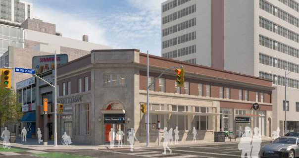
below: This is the plan for the Mt Pleasant station as seen on the Crosstown website.

artists conception of a new LRT station with a re-purposed older building

below: Looking west from Mt. Pleasant.

cain link fence and gate is open, construction crew in the middle of Eglinton Ave (at Mt Pleasant) is working with a digger, hole in the ground

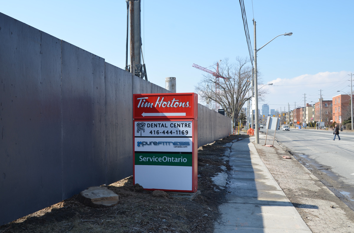
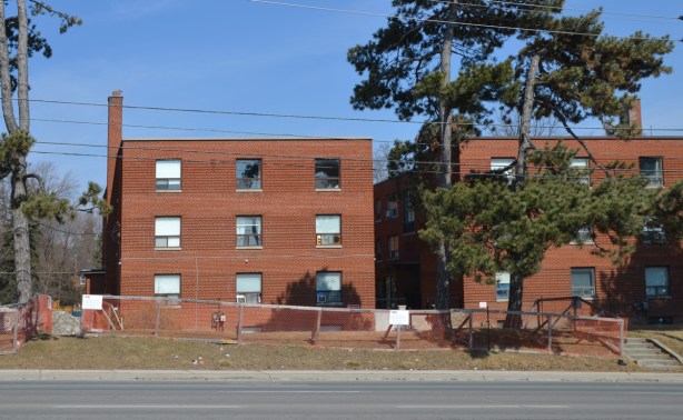
below: Between Laird and Brentcliffe (east of Bayview). See those low rise brick apartment buildings? How long until they’re gone?

red and white tim hortons sign with an arrow pointing left at a long grey fence around a construction site, sidewalk, street, and low rise buildings on the right, Eglinton Ave

two 3 storey red brick apartment buildings

below: At Brentcliffe. The LRT is underground here and there is no station at this intersection. Laird, where there is a station, is only one block to the west.
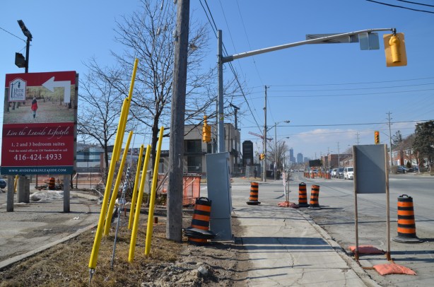
Eglinton Ave east at Brentcliffe

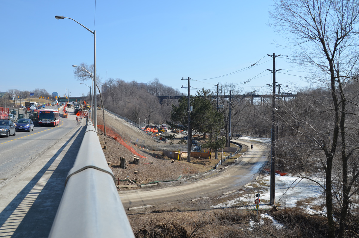
below: From Brentcliffe, Eglinton goes downhill because of the Don River ravine system

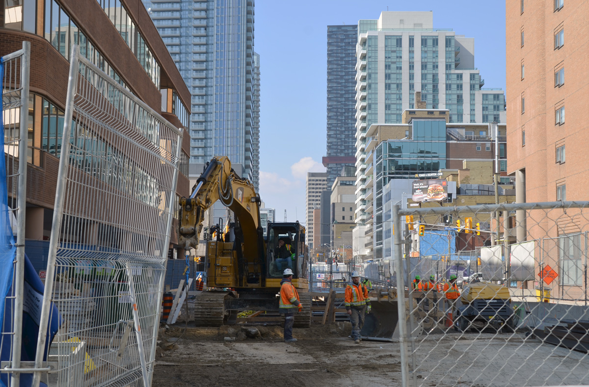
looking east on Eglinton, towards Don Mills Road in the distance, construction in the foreground

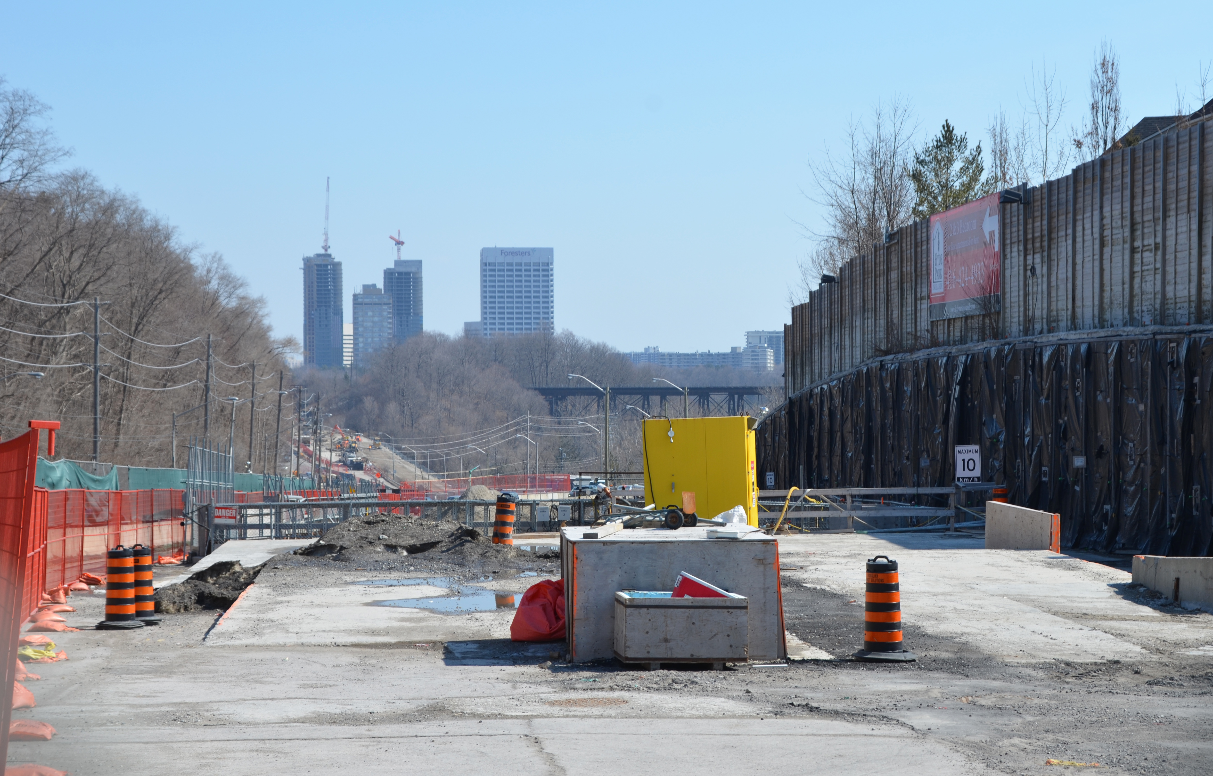
below: Part way down the hill there is a section of concrete. At first I thought that this was where the LRT was going to come to the surface.
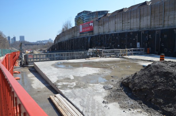
concrete section of road, construction

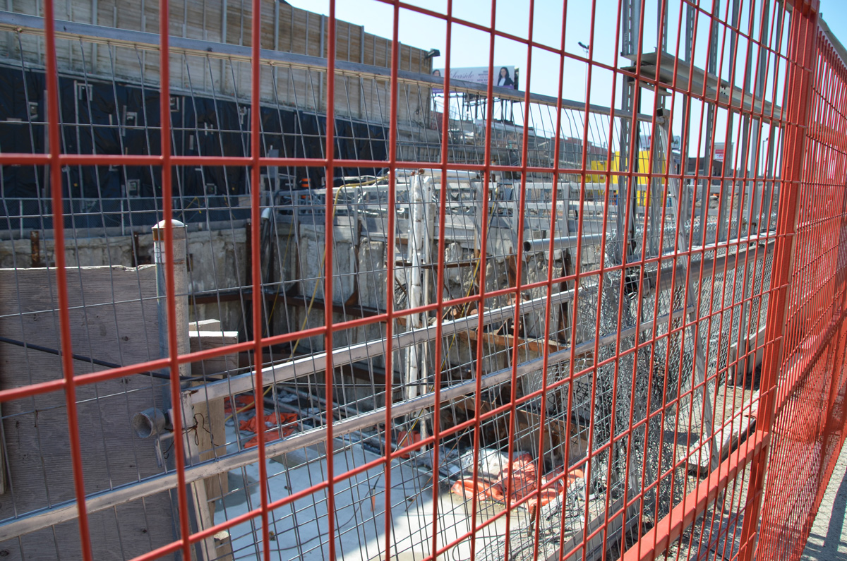
below: But then I wasn’t so sure. There is a concrete wall blocking what would be the exit. It’s difficult to get a closer look because there are two layers of fencing in the way. Nobody was working here. In addition, there is another section farther along that looks like the actual opening. Maybe this is part of the supporting infrastructure?

two fences in front of a dug out section of road, with concrete wall at one end.  One f the fences is orange, wire,

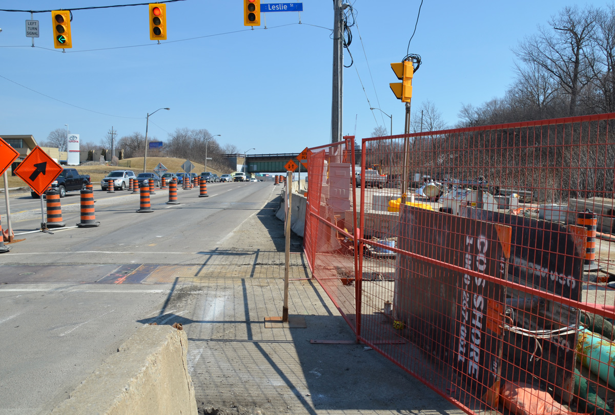
below: Still walking east along Eglinton…. Almost to the bottom of the hill at Leslie – looking east along Eglinton Avenue with E.T. Seton Park on the right and the railway bridge in the distance. Leslie Street, which ends at Eglinton, is on the very left side of the photo. There is talk that this intersection will be closed for two months this summer.
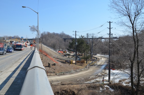
looking east along Eglinton Ave towards Leslie, on the right is the road to the park and beyond that, a railway bridge

below: I turned around and took a picture of the hill that I had just come down. Here the LRT surfaces and the tracks run down the center of the road, with lanes of traffic on both sides of the tracks. I am fairly certain that you can see the entrance to the tunnel, the east portal, near the middle of this picture. From here to Kennedy station the tracks are above ground (except for a portion of the route at Don Mills).
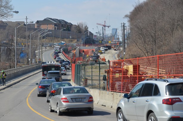
traffic drives west along Eglinton Ave., up the hill from Leslie, through the crosstown LRT construction

below: The sidewalk on the south side ends at Leslie street. Here, I chatted with a policeman while we waited for the light to turn green. Once he did, he escorted me across Eglinton as we had to pass through part of the construction zone. This is where I also discovered that there are no bus stops between Brentcliffe and Don Mills Road. That’s only 2 km but it feels a lot longer!

on the south side of Eglinton, where the sidewalk ends at Leslie street, looking east beyond that with construction on the right

below: A development proposal sign stands on the lawn of what used to be the Inn on the Park but what is now a Toyota dealership.
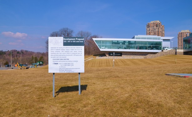
development proposal sign on the lawn of what used to be the Inn on the Park on the north east corner of Leslie and Eglinton

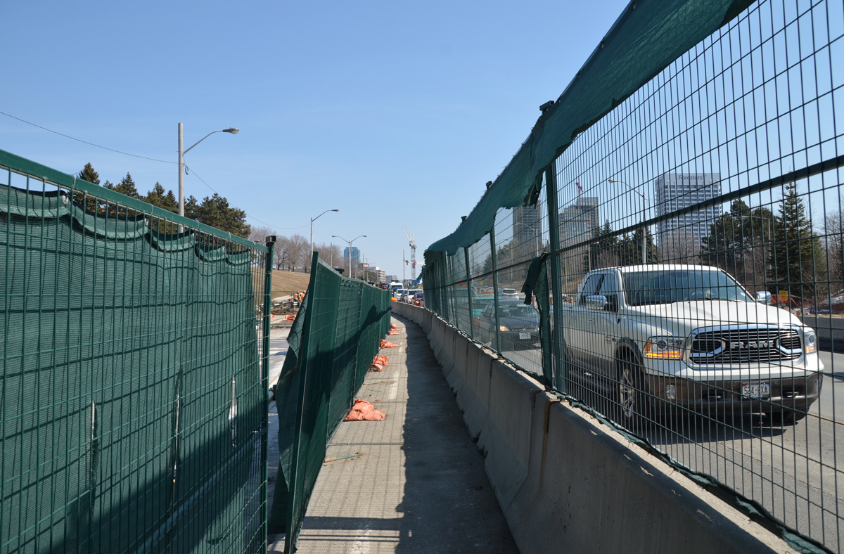
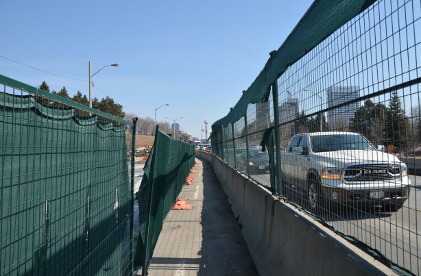
green netting and fencing on both sides of a narrow sidewalk running between construction and traffic.

below: The station at Don Mills and Eglinton will be called “Science Center” and it will be under the intersection.
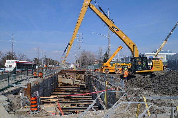
LRT track path being constructed,

below: There will be a bus terminal on the northeast corner of Don Mills Road and Eglinton with underground access to the LRT station. This is what construction looks like on that corner at the moment.

underground sections of LRT being constructed at Don Mills and Eglinton, crane at work, metal frame over tunnel

Just east of Don Mills Road, the LRT surfaces again and remains above ground until Kennedy station. I took the bus from Don Mills Road to Victoria Park as there wasn’t as much to see in this stretch.

below: Looking east from Victoria Park Avenue.

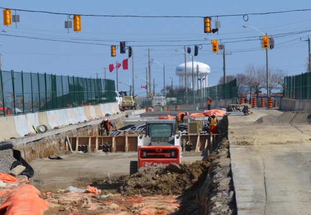
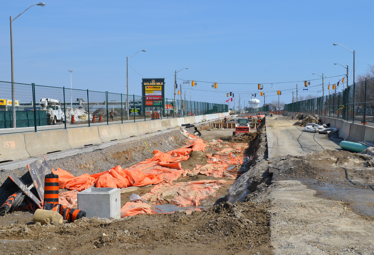
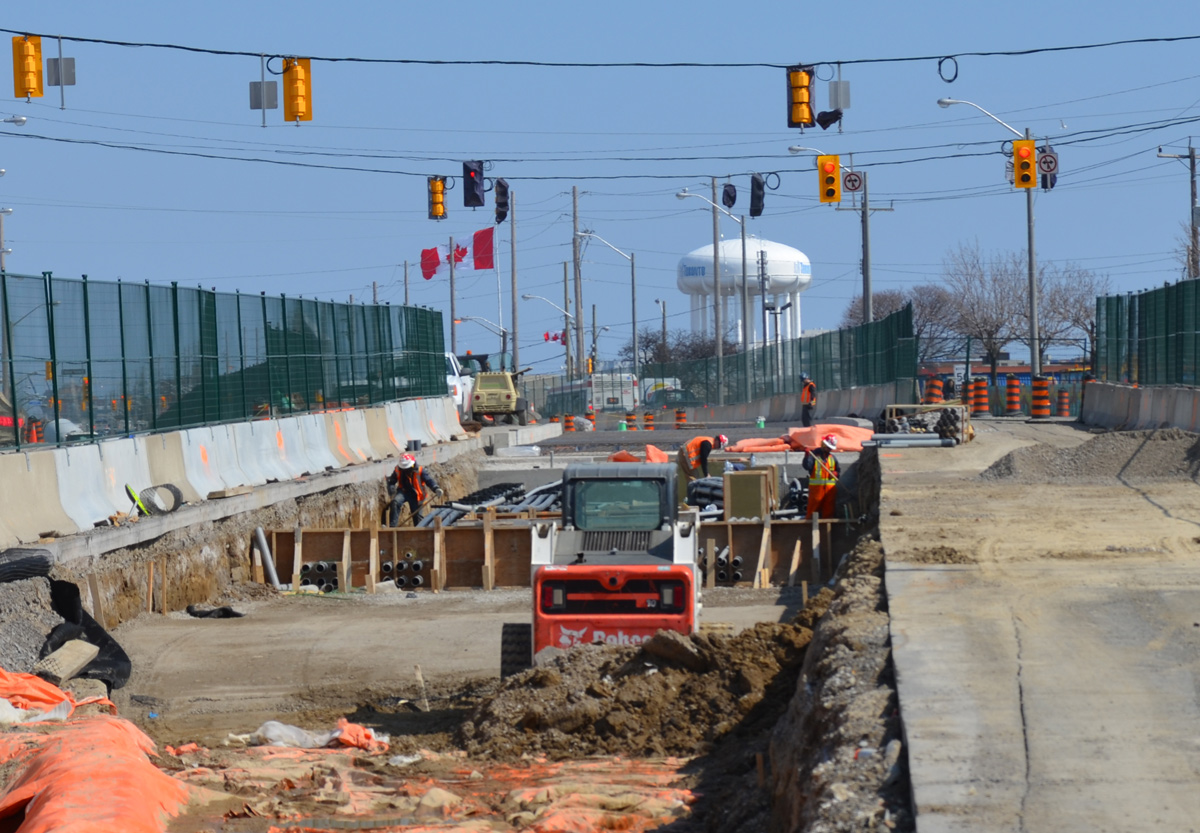
shallow but wide hole in the ground where new LRT tracks are being laid. construction in prep for the tracks, green fencing separates construction from traffic on both sides,

shallow but wide hole in the ground where new LRT tracks are being laid. construction in prep for the tracks, green fencing separates construction from traffic on both sides, water tower in the distance

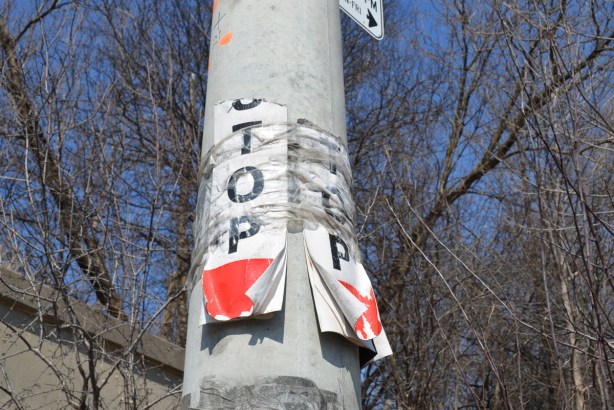
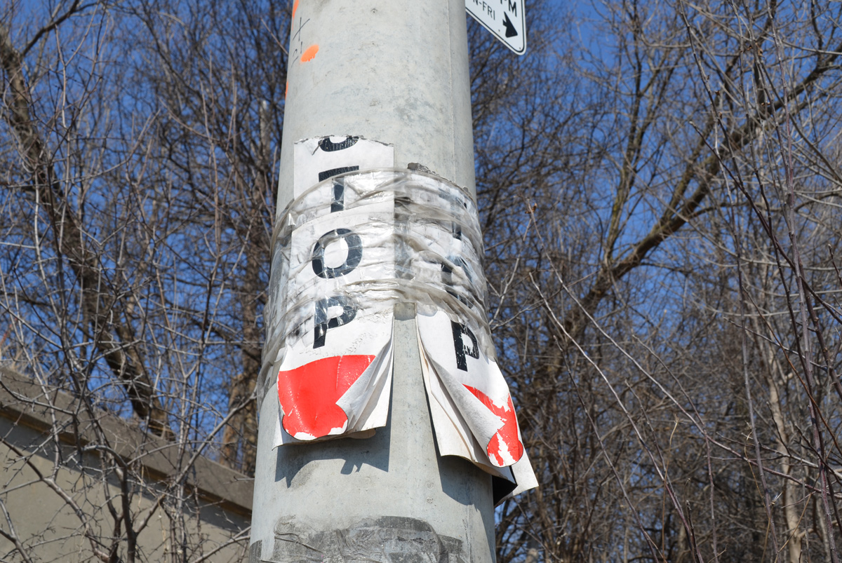
concrete utility pole with two ripped paper temporary bust stop signs, TTC, stops no longer in use

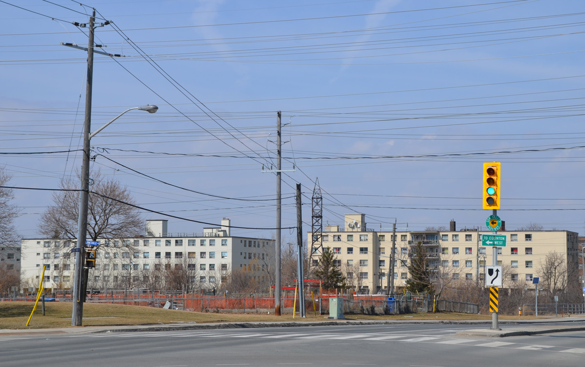
street sign for Victoria Park Ave., top part says Wexford Heights

Victoria Park Avenue used to be the boundary between North York and Scarborough back before the boroughs were all amalgamated into the city. As a result, it suffered a bit from being ignored by both. I started my walk at Vic Park and Eglinton in part because I have driven this route a few times but never walked it. In addition, the arrival of the LRT here will probably have an impact on the area so I wanted to see the “before” picture.
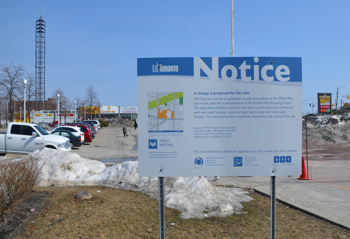
below: A blue and white City of Toronto development notice at the NE corner of Eglinton and Victoria Park. This was once the western edge of the “Golden Mile”. In the 1950’s and 1960’s there were numerous factories including a General Motors assembly plant. Commercial developments were attracted to the area such as the Golden Mile Plaza built in 1954 (and visited by Queen Elizabeth II in 1959). This notice pertains to the plans to develop a large piece of land between Victoria Park and Pharmacy Avenues with housing, retail, and parks. The new Crosstown LRT will service the area with two stops, one at Vic Park and one at Pharmacy.
blue and white toronto development notice sign on a section of grass by a parking lot, stores in the distance

The only snow on the ground when I walked north from Eglinton were the dirty piles where snow plows had dumped the snow over the winter.

a green street sign for Eglinton Ave lies on the ground, on a pile of dirty snow, a bull dozer is in the background.

below: Looking north from Craigton which is the first street north of Eglinton. There are a lot of lowrise apartment buildings in this area.

back of a TTC bus as it stops at Victoria Park and Craigton, a woman is standing at a bus stop

three lowrise white apartment buildings in the distance, hydro wires, vacant land

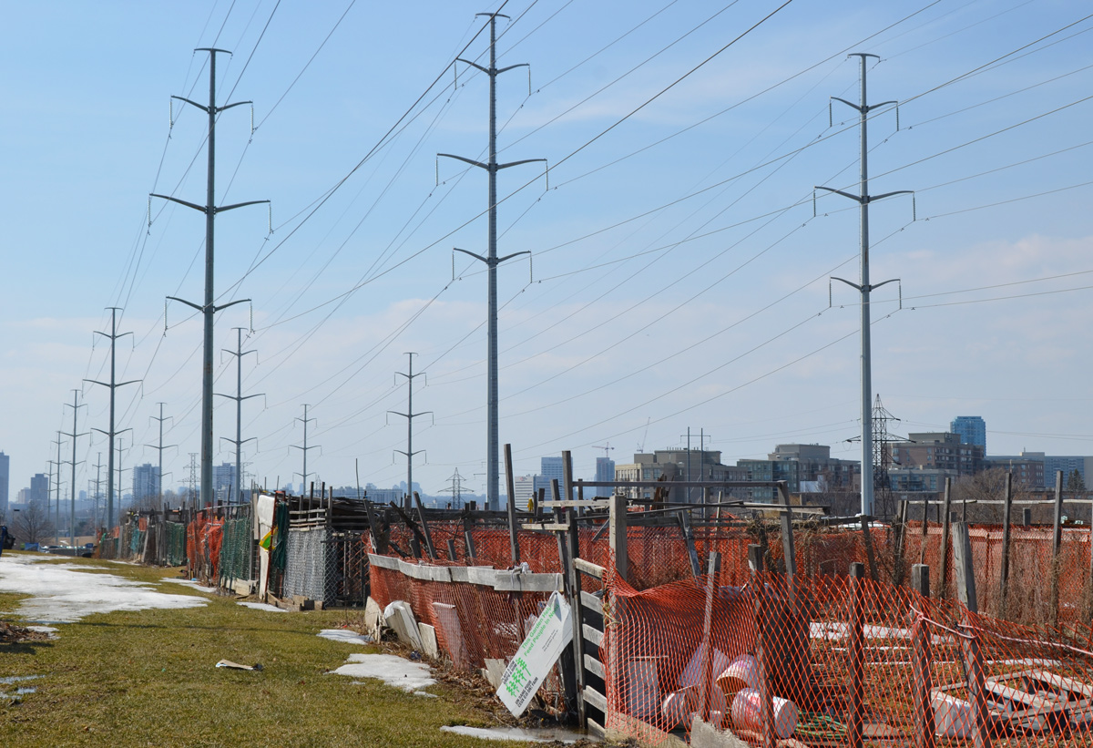
below: Community garden on the hydro right of way.

community garden surrounded by orange wire fence, under hydro poles,

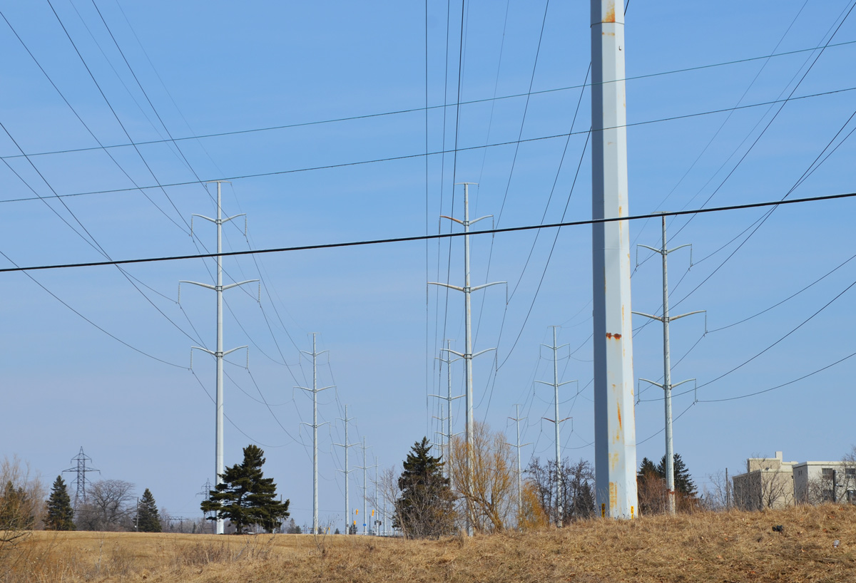
hydro poles, utility poles, electricity, and wires

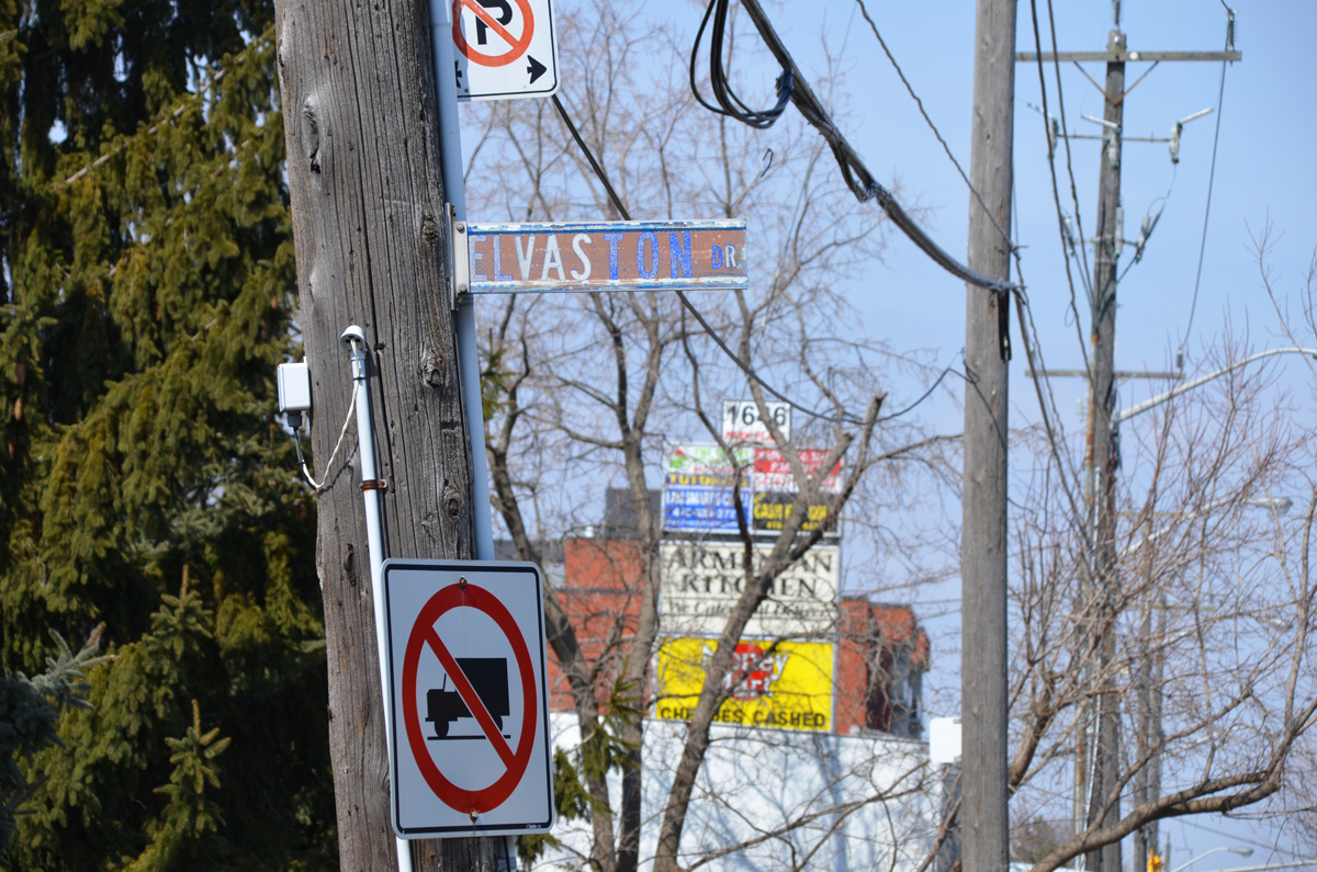
wooden pole with street sign for Elvaston and a no truck sign, in the background, signs from stores in a strip mall

below: Sale only until Dec. 24 so hurry in…. a little late? or too early?

two people walk past a store with a sign in the window that says hurry up because sale ends Dec 28. photo taken in March

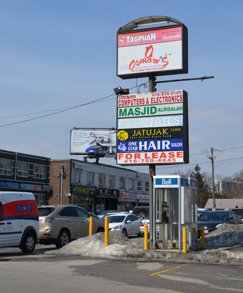
below: Commercial development took the form of strip malls when there was lots of space and density was low.

blue wire fence around an empty strip mall

old and empty Prince Cleaners (dry cleaners) in a strip mall that is empty and fenced off and waiting for redevelopment

signs for retail on a strip mall

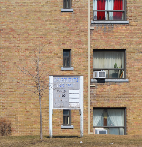
old no apartments for rent sign outside a brick apartment building

The first settlers in the area were mostly farmers until the late 1940’s.

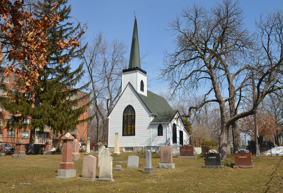
below: St. Judes Anglican church was built in 1848 by the Rev William Stewart Darling and the Anglican families of the Wexford area; it is the oldest surviving Anglican church in Scarborough. A more modern church was built behind it (just out of the picture) in the mid 1950’s when the population of the neighbourhood boomed. The cemetery began as a private burial plot for the Parkin family – the infant son of Patrick and Ann, Edward, was buried here in 1932.

a small white church in a cemetery, St. Juds Anglican church built in 1848

below: The intersection of Lawrence and Victoria Park. A bit forlorn.

empty parking lot at the intersection of two roads, Victoria Park Ave and Lawrence ave., truck and some other traffic, Damas middle eastern restaurant and a Shell gas station

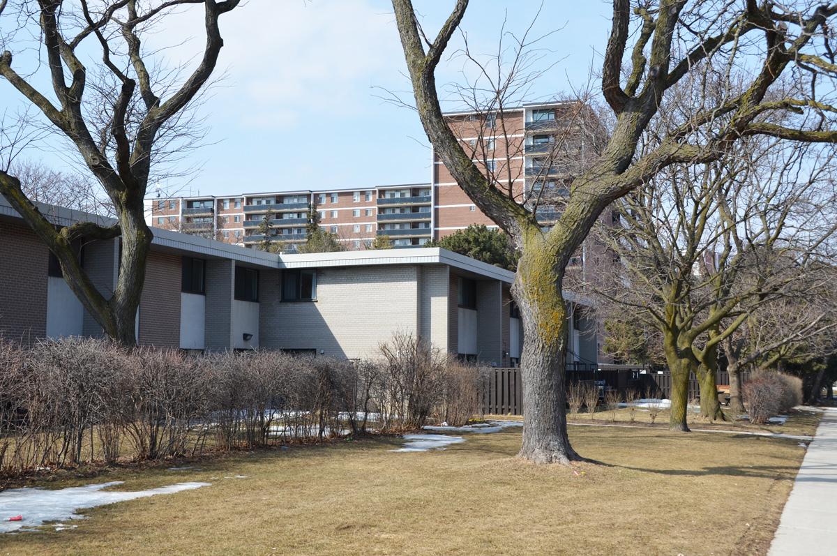
below: Low rise, flat roofed townhouses. Most of the development on Victoria Park dates from the 1950’s and 1960’s.

1960's low rise, flat roofed townhouses in front, with red brick apartment building behind, large trees, winter, no leaves, grassy area in front

below: Some small postwar bungalows line the street, and the side streets on the Scarborough side.
a small bungalow on a side street that faces the main road, Victoria Park Ave

a few cars on the street driving past some small bungalows

below: A railway corridor passes under Victoria Park north of Lawrence.

looking from a bridge onto the train tracks below and downtown in the distance

pine tree growing in front of a brick building

two lowrise apartment buildings side by side on Victoria Park Ave., one in red brick and the other is yellow

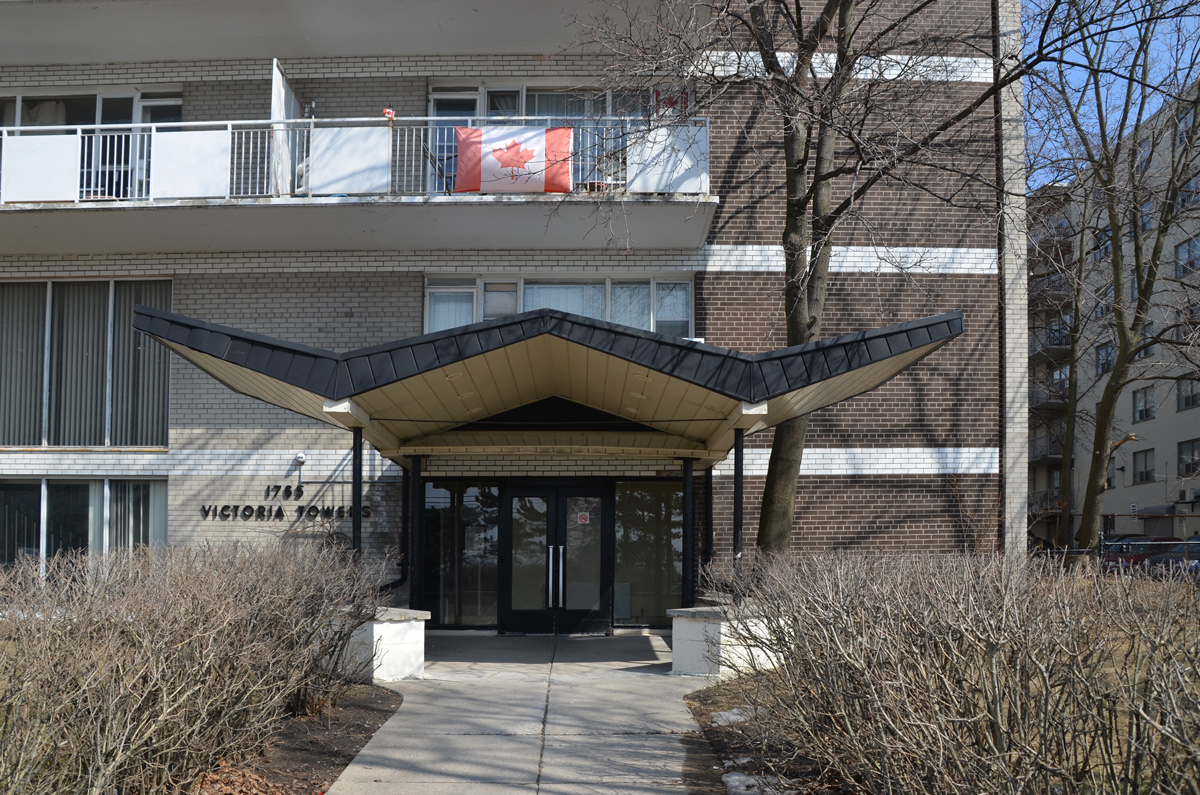
below: A wonderful wide W shaped roofline

a wide W shaped roof line on the cover over an entrance to an apartment building

below: H is for Hockey and Hockey Sticks

a teal coloured, large H in front of an arrangement of hockey sticks, artwork on the top of a wood fence

below: No trespassing signs on the bus shelter?

empty building, with fence around it and no trespassing signs

Victoria Park continues north to beyond Steeles Avenue but I didn’t get anywhere near that far! North of Ellesmere and York Mills Road it becomes much more suburban and not as interesting. It’s more of a thoroughfare and less of a city street.

The other day I heard rumours of a subway protest – i.e. a protest over the potential uploading of the responsibility for the TTC from the city to the province.   On the 27th of March there was a “day of action” at 40 subway stations during the morning rush, starting at 7:30 a.m.

below: Walking toward Eglinton subway station with the sun shining from behind me. Golden glass.

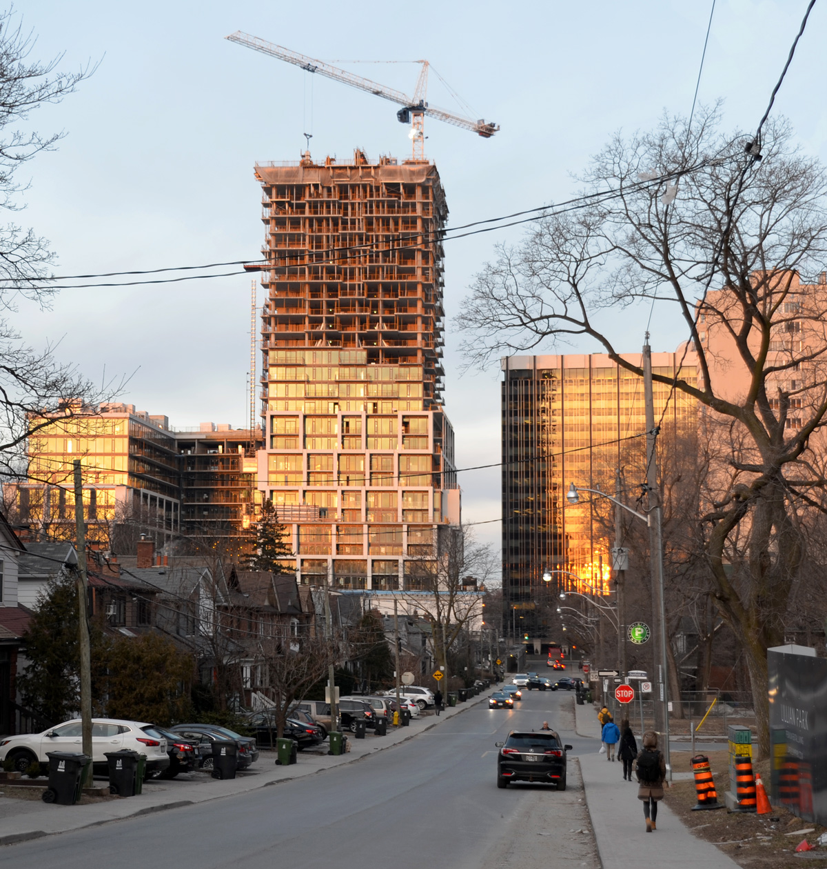
condo development, crane, single houses in the foreground, near Yonge & Eglinton

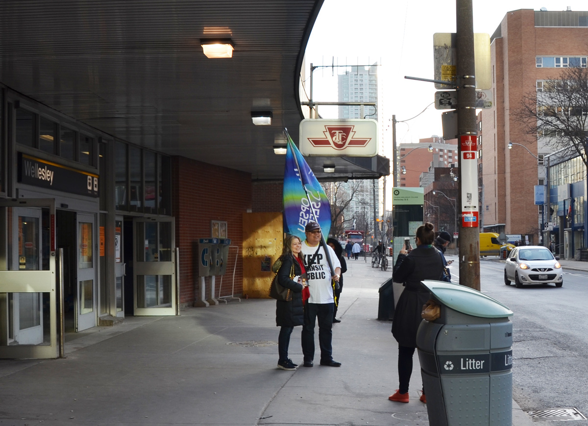
I couldn’t find anyone at Eglinton station (was I too early?) but there were 4 people handing out leaflets inside Bloor station.  I also saw this guy with an OPSEU flag by Wellesley station.

a man holds an OPSEU (a union) flag outside Wellesleysubway station as he stands with a woman while someone is taking their picture.

So much for the idea of a blog post about this day of action.  But it was a beautiful morning so I enjoyed the walk down Yonge street.  I don’t often walk here that early and I was surprised how quiet it was.  The light was also interesting.

Yonge Street

below: A mix of old and new architecture, looking south towards the old St. Charles tavern clock tower that is being incorporated into a new development.

looking south on Yonge street on a sunny morning, sun is shining on the St. Charles tavern clock tower, tall buildings behind it

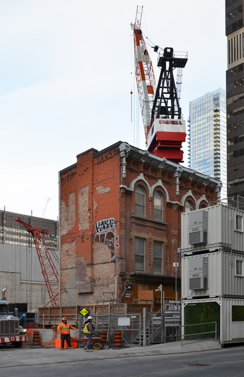
below: Near Yonge & Bloor.  Preservation of an old building… and very big crane.

old brick three storey building stands alone by a construction site as new development goes on around it. large crane in the background

two fire trucks parked on a street of high rise and midsized apartment buildings

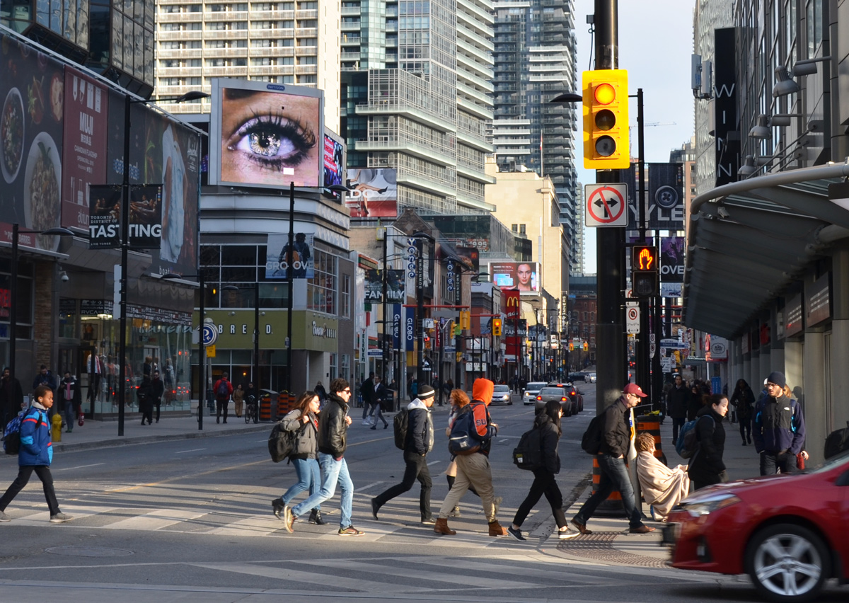
below: Looking north from Dundas under a watchful eye.

people cross Yonge street on the north side of Dundas, a big picture of an eye is on a billboard looking down over the street

looking up at relief sculpture and column on an old building that says erected 1905, a new condo tower is behind it

reflections in the large window of a building, people, bikes, and old city hall

below: Looking north from Queen Street.  The Eaton Centre is on the left in the foreground.  Play the game of ‘name that building’ or ‘I remember when’.

looking up (north) on Yonge street,

a blurry streetcar as it stops at a stop where two people are waiting

people crossing the street in front of a streetcar that is waiting for a red light. At thewest side of intersection of Queen and University

people waiting for a streetcar on Queen at Bay, standing outside a TD bank that has a video screen with a very large woman on it.

below: This was the largest group of “protesters” that I saw.  It was more of an information session than a protest, and there’s nothing wrong with that.

people handing out leaflets and brochures at Osgoode station, on the sidewalk outside the station exit. University Ave

below: People headed to work as I started home.

inside Osgoode subway station, at platform level, one subway is just closing its doors getting ready to leave, people are headed up the stairs.


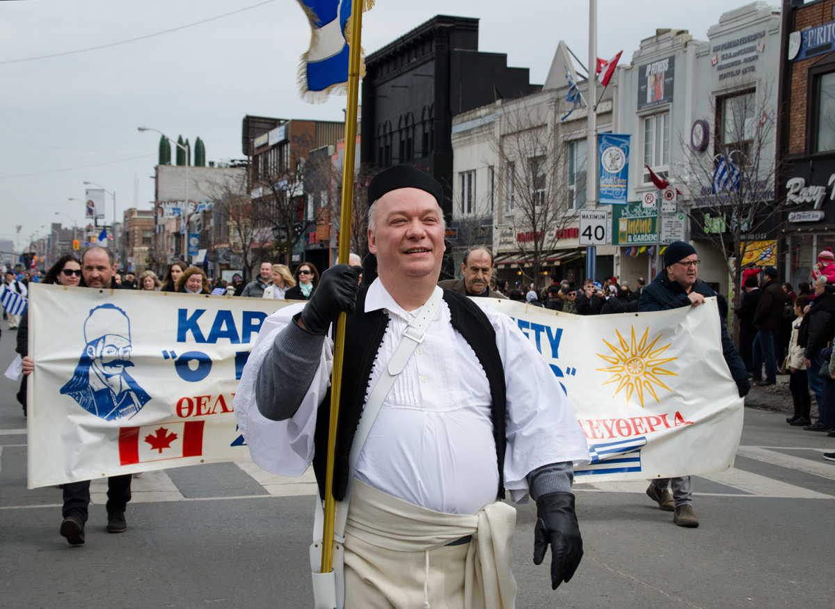
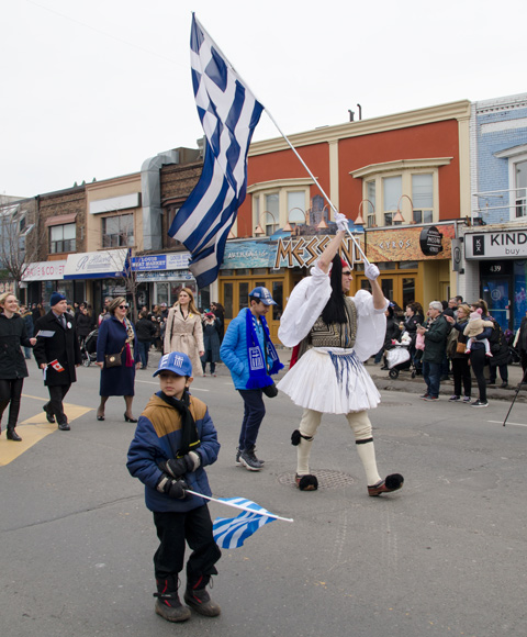
Greek Independence Day is March 25, comemorating the start of the War of Greek Independence in 1821. Prior to that, they had been part of the Ottoman Empire for almost 400 years, since 1453. Yesterday there was a parade along the Danforth to mark the occasion.

a man in traditional Greek clothing carries a flag in a parade, he is in front of a group carrying a banner

There were people with banners representing many groups including the Cultural Society of Kilkis and Suburbs,

a man in a blue parka carries a banner in a parade, a small flag-like banner for the Cultural Society of Kilkis

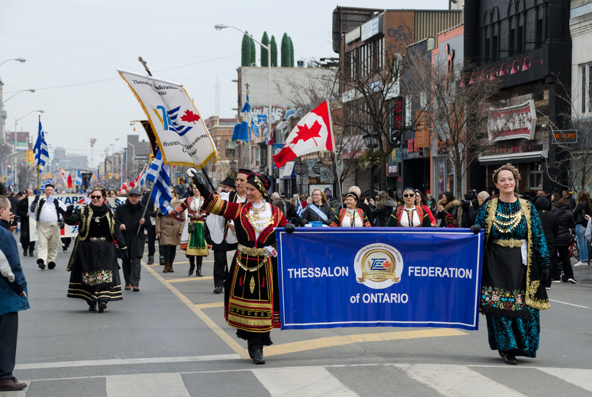
the Thessalon Federation of Ontario, and many more,

women in traditional Greek costume carry a banner of the Thessalon Federation of Ontario, a blue banner, in a parade, while others walk behind the banner

a woman in a brown coat and maroon scarf wrapped around her head, holds a Greek flag. Behind her is a boy in traditional greek clothing in a parade

a woman with dark sunglasses and blue coat holds three small flags, two Greek and one Canadian

the crowd cheers and claps as a parade passes by

3 girls posing with a banner, the younger girl holds a Greek flag, they are with a banner representing the Daughters of Penelope

a group of people, older men with kids, Greek Independence day parade

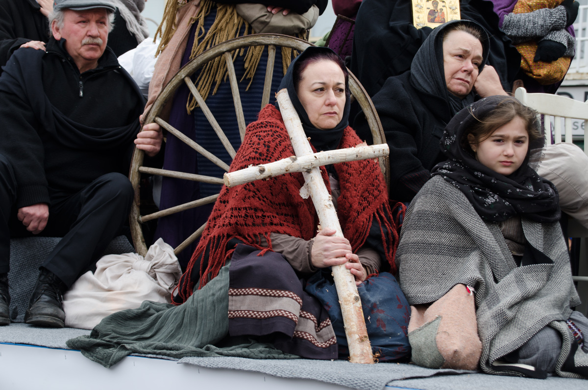
below: There was only one float in the parade. It was a memorial to those who died in the Greek genocide during and after WW1 when the Christian Ottoman Greeks living in Anatolia (now part of Turkey) were killed or driven out.

people in costume on a float commemorating the genocide of Pontos

a girl in red jacket and cap, dark sunglasses, and holding a Greek flag, walks in a parade, with people on the sidewalk watching in the background.

a police man in yellow jacket directs a group of marchers in the Greek Independence Day parade on the Danforth. The group is walking with a large banner with words written in Greek

two kids in traditional Greek costume pose for a picture. The young girl is not amused.

in a parade, people (mostly young boys) carrying a banner for the Knossos society (of Crete), along the Danforth, Greek flags, other people watching

a man in traditional Athenian clothing with pompoms on the toes of his shoes walks in a parade while holding a very large Greek flag

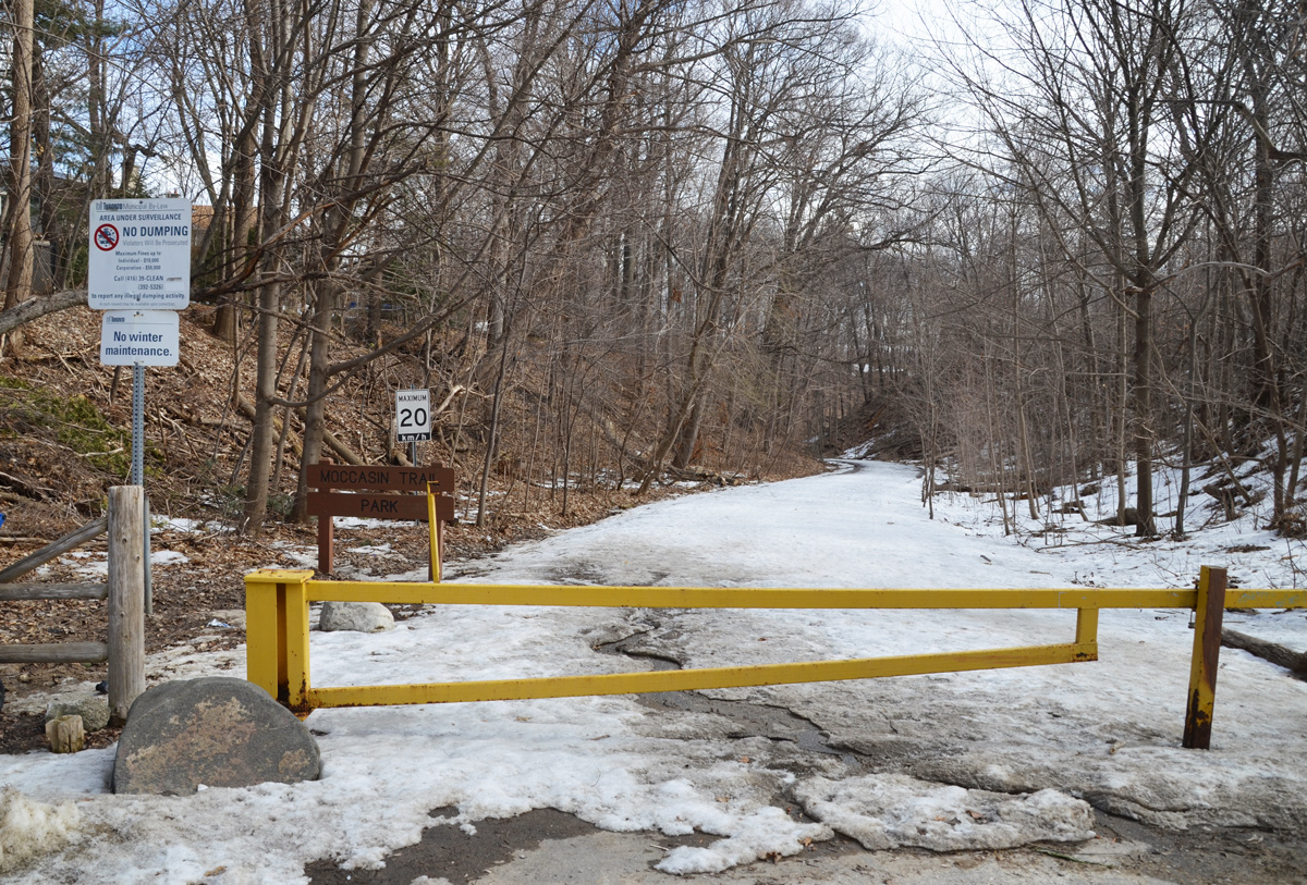
Moccasin Trail is a street in Don Mills that provides access to the East Don Trail. Starting a walk there looked like a good idea when I checked the map.

yellow metal barrier prevents cars from entering a road that is covered with snow, trees on both sides of the road

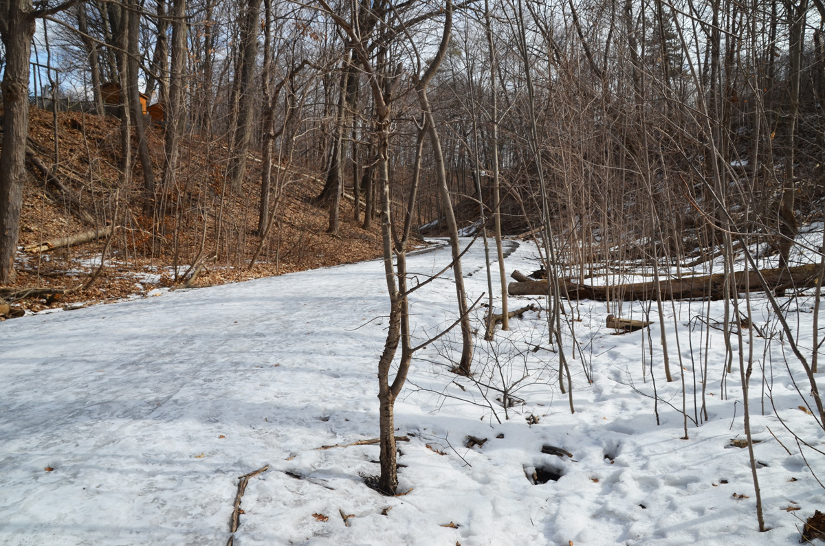
I decided that it was worth a try. Going downhill is harder than going uphill on snow and ice so I figured that if I got stuck all I had to do was turn around and go back to my car. In the summer you can drive down to the parking lot.

snow covered road with small trees growing on either side of it, winter, no leaves on the trees

With a little slipping, a little sliding, and a lot of care, I made it. At the bottom of the hill is Moccasin Trail Park.

a picnic bench ina park in winter with snow on the ground

below: The path goes under the DVP to join the East Don Trail (where there was not as much ice!). Except for the constant rumble of traffic in the background, it was very quiet down here today. I only saw two other people (and one dog).

park in winter with a path that leads to a bridge under a road

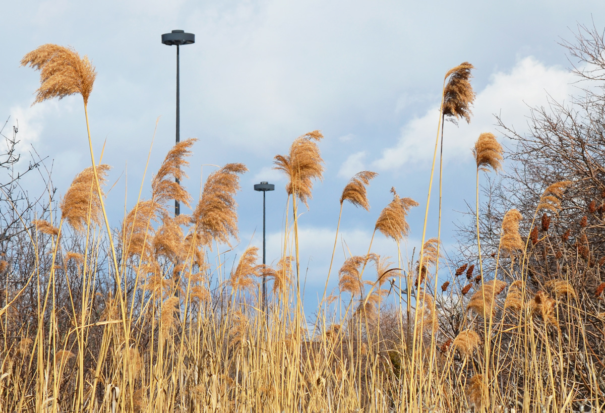
below: Wild grasses grow in the ditch alongside the Don Valley Parkway along with sumach trees and other shrubs.

wild grasses, brown in winter, grow alongside the Don Valley Parkway

below: A Red-tailed Hawk circles overhead. There were two of them flying above me today. They were magnificent to watch as they circled in the sky – and as I wished that they would come closer, or perhaps even find something to catch. No luck today.

a red tailed hawk flies overhead, blue sky with some light clouds

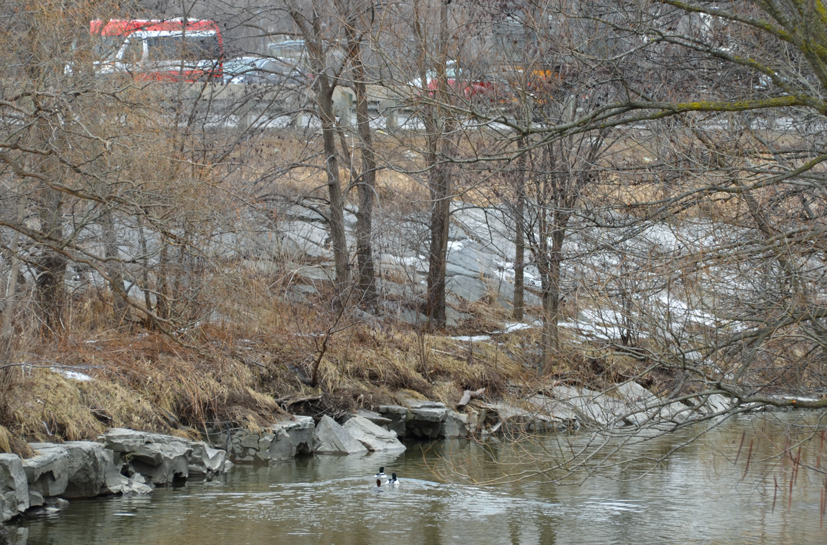
below: Ducks in the water and traffic on the Don Valley Parkway

two ducks swimming in the Don River, with cars passing by on the Don Valley Parkway

water flows over a low concrete dam on the Don River, winter time, but no snow or ice, no leaves on the trees,

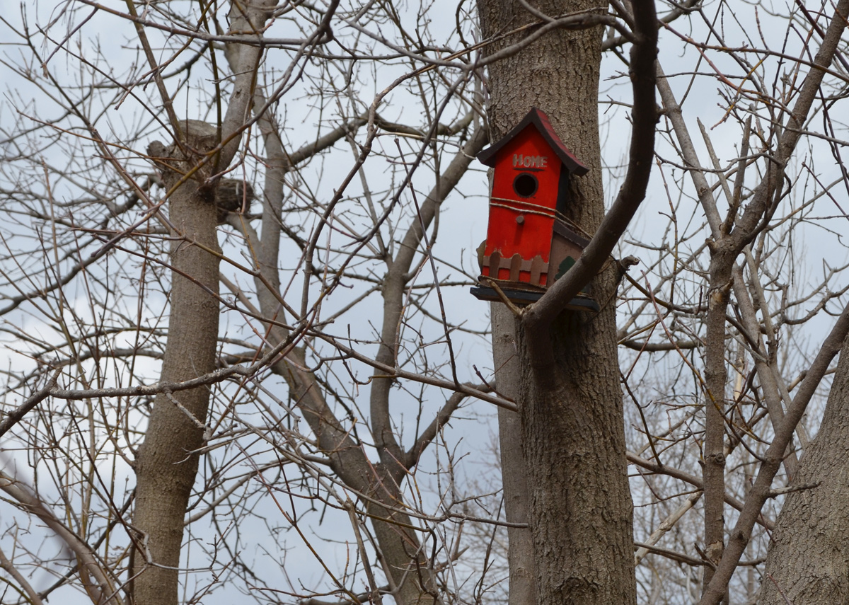
below: Someone has tied this bright and cheerful bird house to the trunk of a tree.

a bright red bird house in a tree, no leaves,

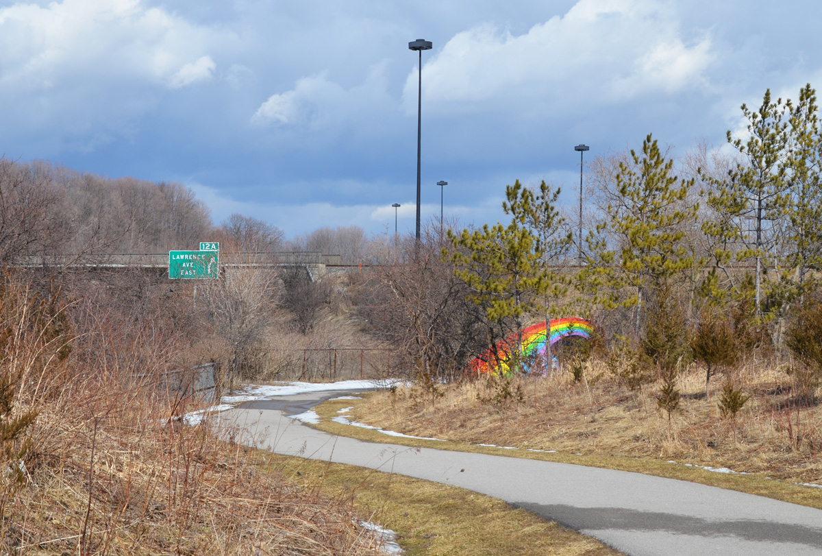
below: One of the biggest reasons why I chose to walk this path today – the rainbow bridge. It’s easily visible from the northbound Don Valley Parkway. Although I don’t drive the DVP on a regular basis, every time I am reminded that I haven’t walked there yet. It was originally painted in the 1970’s by B.C. Johnson, a teenager from Norway. Every time the city painted over it, the rainbow was repainted.

East Don Trail winds towards the bridge that is painted with a rainbow, some traces of the Don Valley Parkway like a green exit sign for Lawrence Avenue, and a couple of tall light stands.

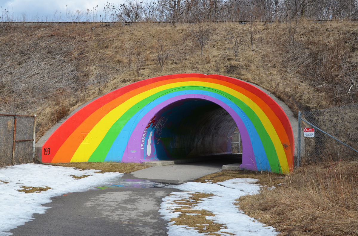
below: In 2013 the arch was repainted with the help of Mural Routes. The interior was also painted in the same rainbow colours.

arched bridge under a railway, over a walking path, that has been painted with a rainbow

These are some of the scenes that are painted inside.

scenes from the mural painted inside the rainbow arch bridge - on red background, with orange and purple trees, a man walks his dog and a woman pushes a stroller

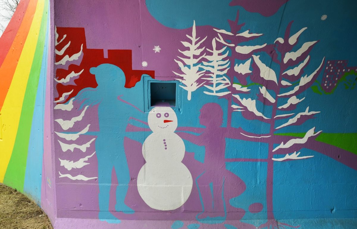
scenes from the mural painted inside the rainbow arch bridge - blue and purple children build a white snowman with white trees in the background

scenes from the mural painted inside the rainbow arch bridge - a cyclist on a bike rides along a yellow and orange path past yellow and orange trees

I didn’t explore much beyond the rainbow bridge. That adventure is for another day!


UPDATE:  The rest of the trail that can be access from the Moccasin Trail is now covered in a blog post, From Charles Sauriol southward

Exploring new places often leads to interesting finds.  I’m not sure if you think demolition/redevelopment sites are interesting, but I came across this one when I went to Moccasin Trail (next blog, scroll up).

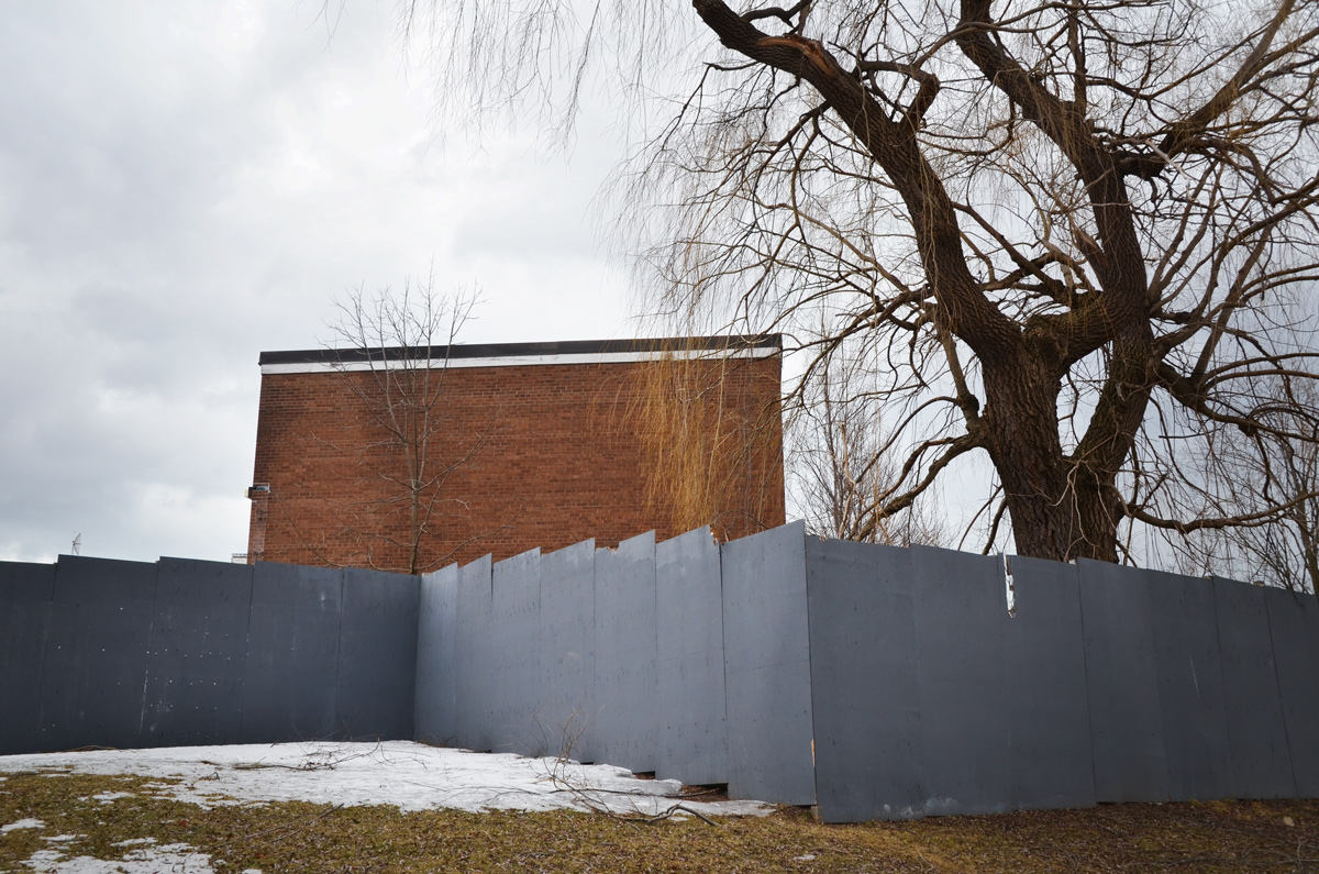
An empty building.  The grey hoardings completely block the view of whatever is inside.

grey plywood fence in front of a three storey brick rental apartment building that is empty and will be torn down in a residential neighbourhood

I tried walking the perimeter, but there is no access or viewpoint.  There are actually two buildings.  Apparently one of the buildings was damaged by fire (arson) in 2008.  The buildings have been empty since 2011.

a tall tree, winter time, stands in front of a grey plywood fence in front of a three storey brick rental apartment building that is empty and will be torn down

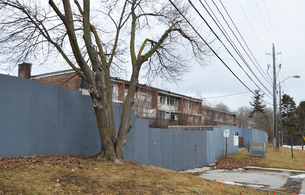
The old sign still stands beside the fence. It is faded enough that I can’t read it, even with some manipulation in photoshop.  The building in the background is also part of the redevelopment plan.

old faded sign on grass side yard beside grey plywood fence around building about to be demolished. Across the street is another building from the 1950s or 1960s.

The year on the development proposal sign is 2013.  It also states that three buildings will replace the ones being torn down, one of 10 storeys and two of 4 storeys.  That was six years ago.   In March 2017 a plan was approved by city council for an 8 storey condo and a 4 storey rental replacement building.

Development proposal sign in front of a three storey brick apartment building.

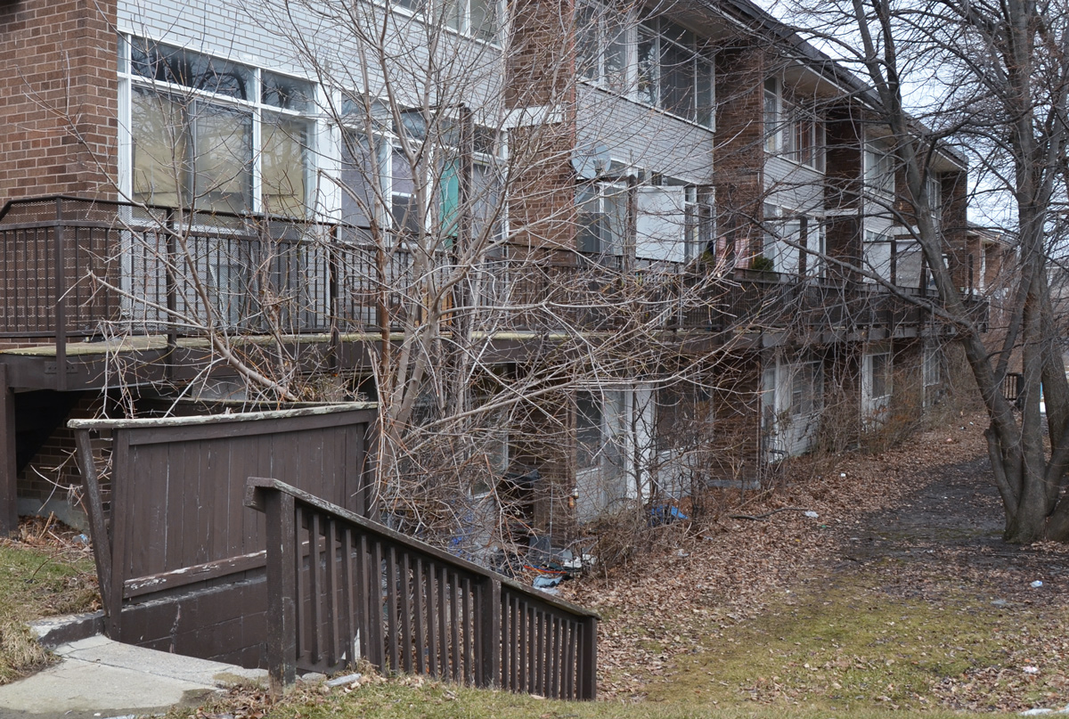
When I saw the state of the building above, I started taking some pictures.  I thought the building was empty.  But then I heard music coming from one apartment.  Then a woman came out on to a balcony to hang up a blanket.

40 moccasin trail building, three storey apartment

Two years ago, back in March of 2017, 12 of the 34 units were occupied.   I am not sure how many people are living there now.   When it was first built, it was probably quite nice – very suburban, very Don Mills.  Now the building is in very poor condition but I’m sure that’s because the landlord is waiting to be able to demolish the building.

papered over window and old white door on apartment, overgrown saplings in front

crooked metal railings beside a concrete set of stairs, brown and white building behind.

concrete steps, side of a brick building

overgrown trees in front of an apartment

City of Toronto report on this site (May 2017)

two low rise apartment buildings, grass between them and a large tree