This blog post is the result of a walk along Bloor Street East between Yonge & Glen Road (with the usual diversion or two). Bloor Street acquired its name about 1855 and is named for Joseph Bloor (or Bloore).
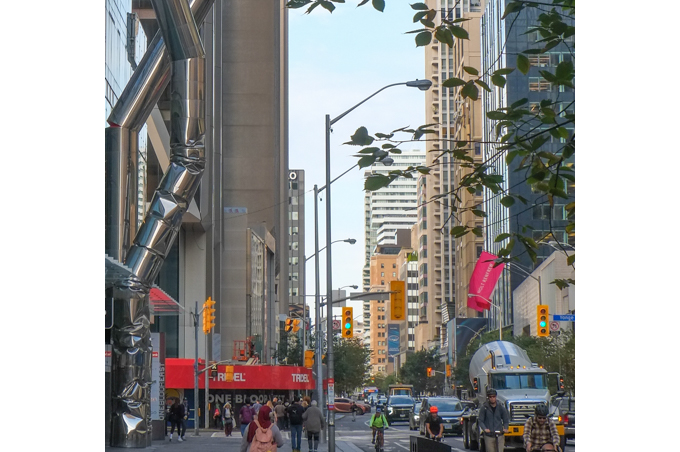
below: Bloor Street, looking west towards the intersection of Yonge & Bloor.
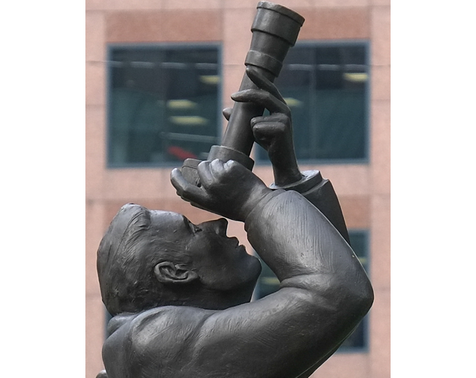
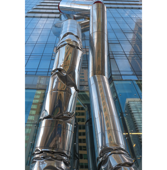
below: “Safe Hands” by Ron Arad, towering 88 feet over Bloor Street in front of One Bloor East (at Yonge). Look up… way up!!
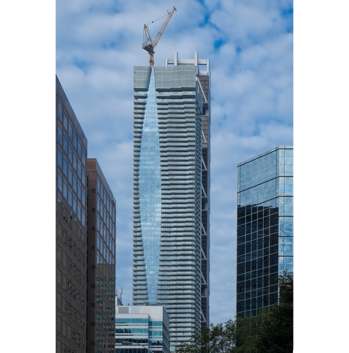
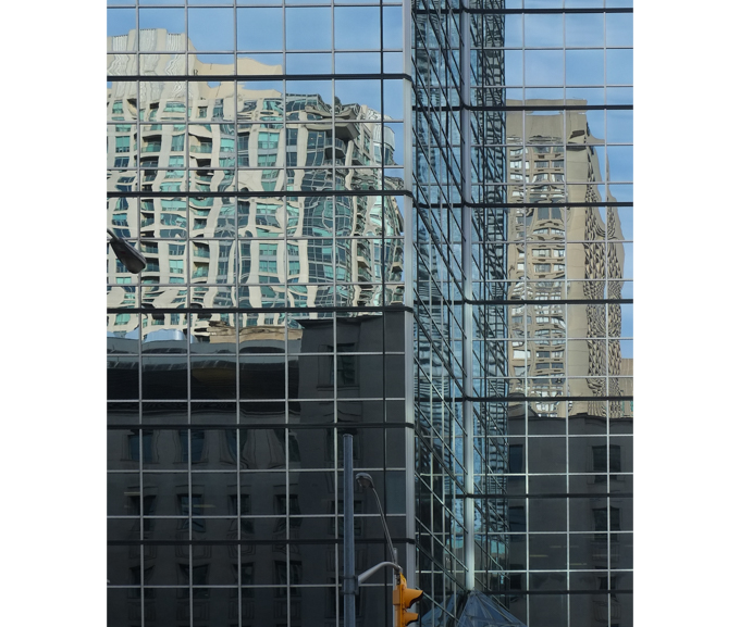
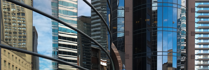
below: More up! Glass and steel towers at Yonge and Bloor.
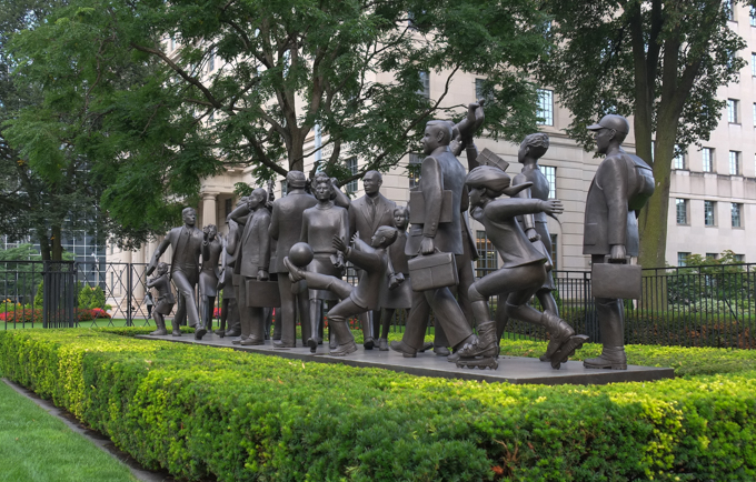
below: “Community” by Kirk Newman. Busy people going about their day.
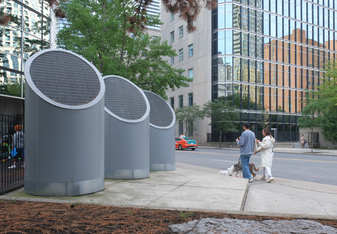
below: Not an art installation, but large ventilation shafts (for the subway?) just behind Bloor
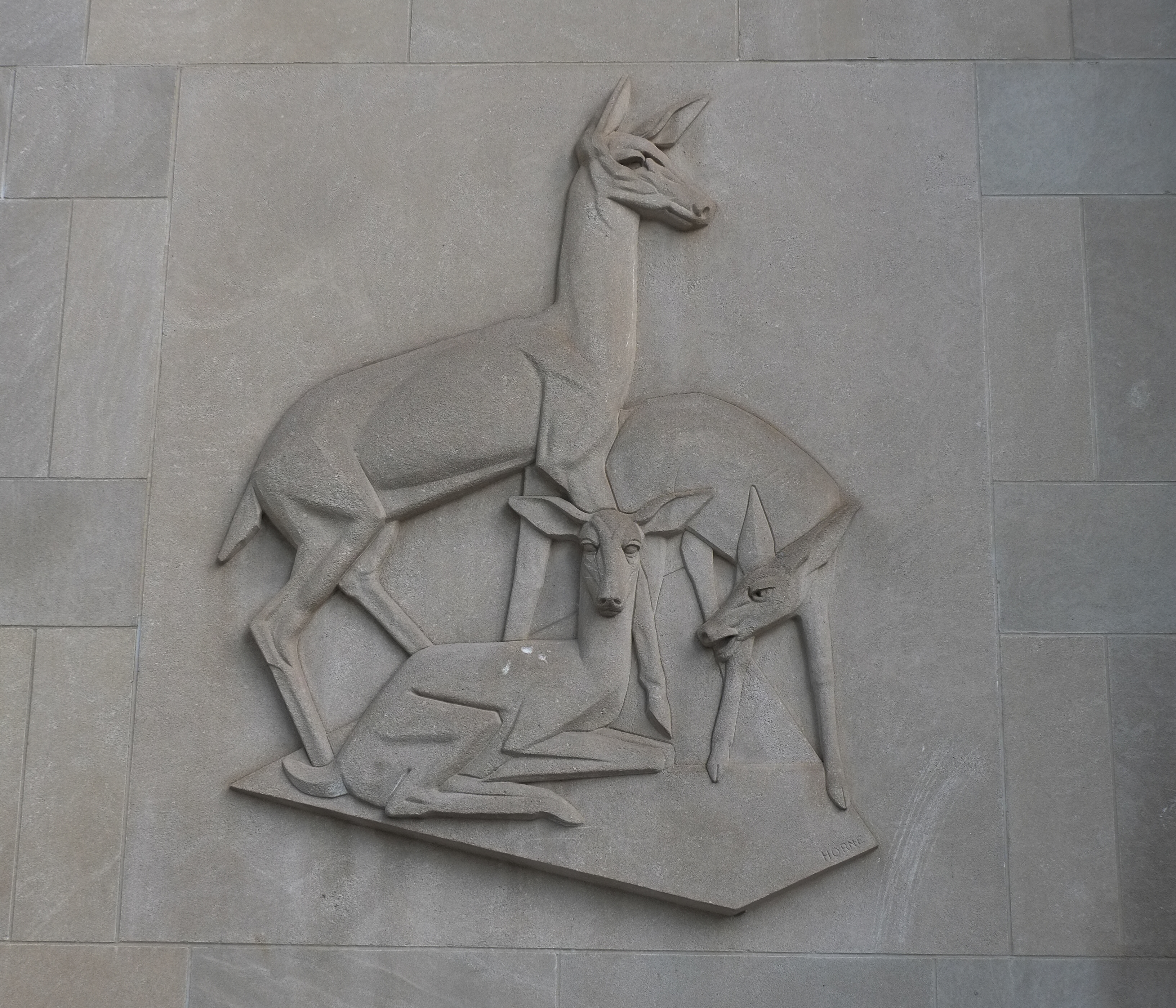
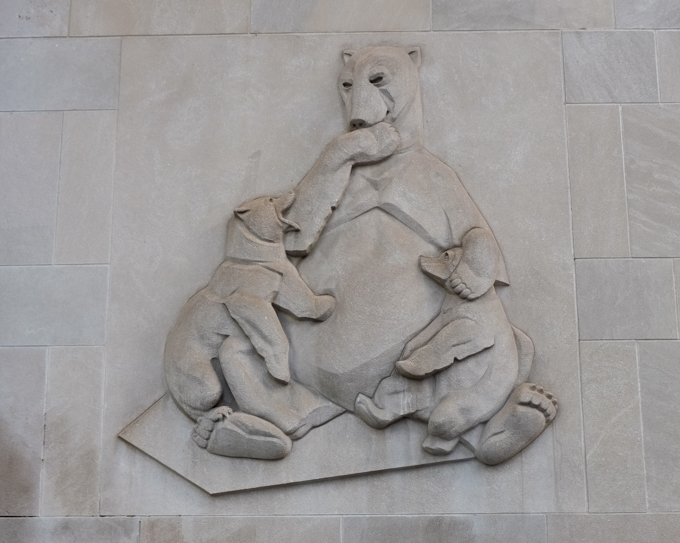
below: Relief sculptures on the limestone exterior of the former Crown Life Building. They were designed by Canadian sculptor Cleeve Horne and carved by stone cutter Louis Temporale in 1953.
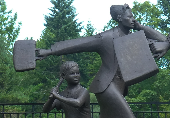
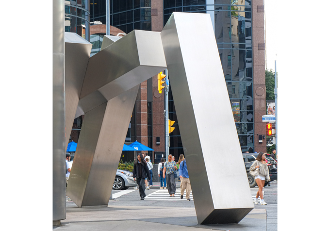
below: Sculpture by Kosso Eloul on the northeast corner of Church and Bloor.
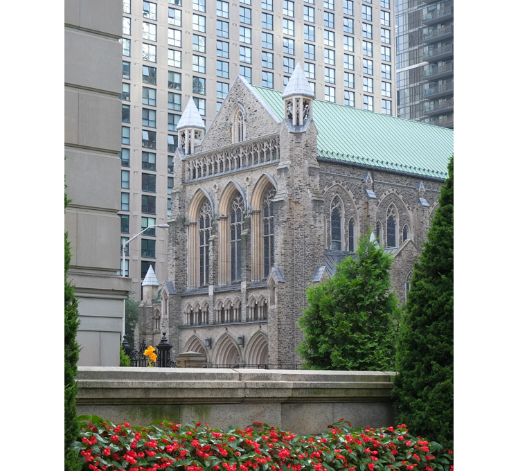
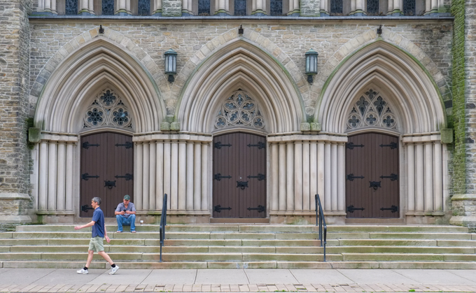
below: St. Pauls Bloor Street, Anglican church. The original church was built in 1842 and has undergone a few expansions and renovations since then.
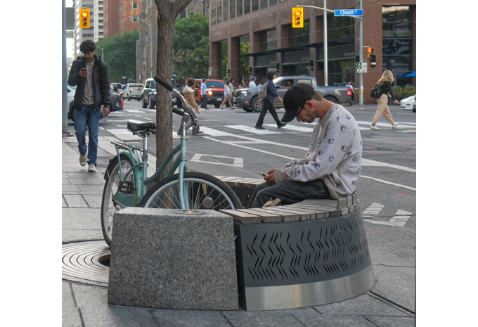
below: A space to sit.
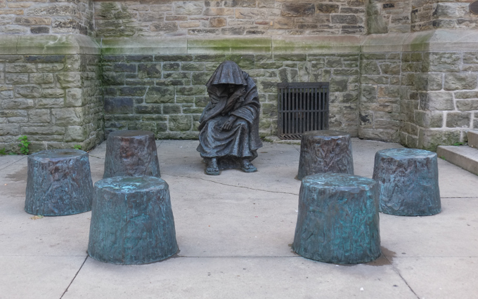
below: Just down the street from St. Pauls Bloor Street, but set back from the street, is St. Andrews United church. Joseph Bloore lived at Bloor and Park Road, across the street from what was then Bloor Street Methodist Church. This tablet is a replica of the one that was installed in the Methodist Church late in 1862. In the 1980s, the church that this memorial was in was demolished and the tablet moved to the city archives. Because of a number of church mergers, this was St. Andrews United Church. He is buried nearby in the Toronto Necropolis.
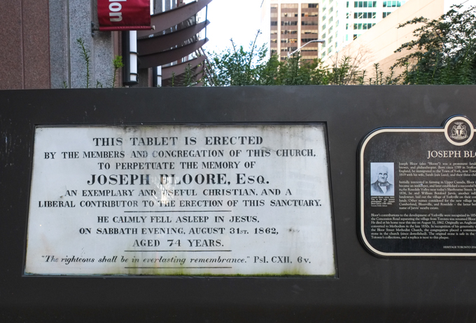
“This tablet is erected by the members and congregation of this church, to perpetuate the memory of Joseph Bloore Esq., an exemplary and useful Christian, and a liberal contributor to the erection of this sanctuary. He calmly fell aslepp in Jesus on Sabbath evening, August 31st 1862, aged 74 years, The righteous shall be in everlasting remembrance. Pslam CXII, 6 v.”
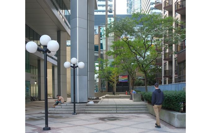
below: St. Andrews United church with its front courtyard.
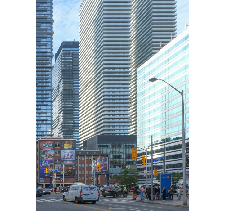
below: Bloor and Church streets, looking southwest
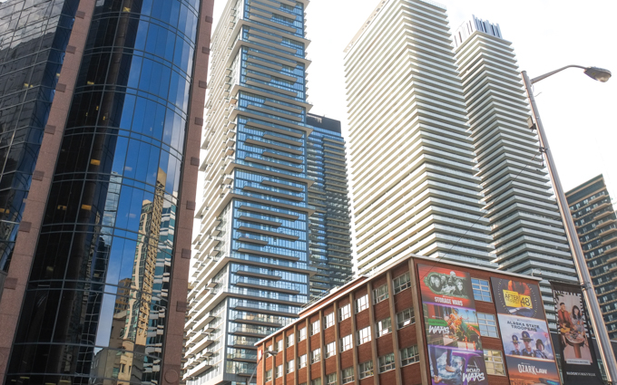
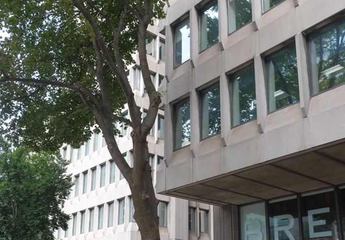
below: A couple of 1960s/70s brutalist concrete buildings with recessed windows – a fairly common Toronto architectural style.
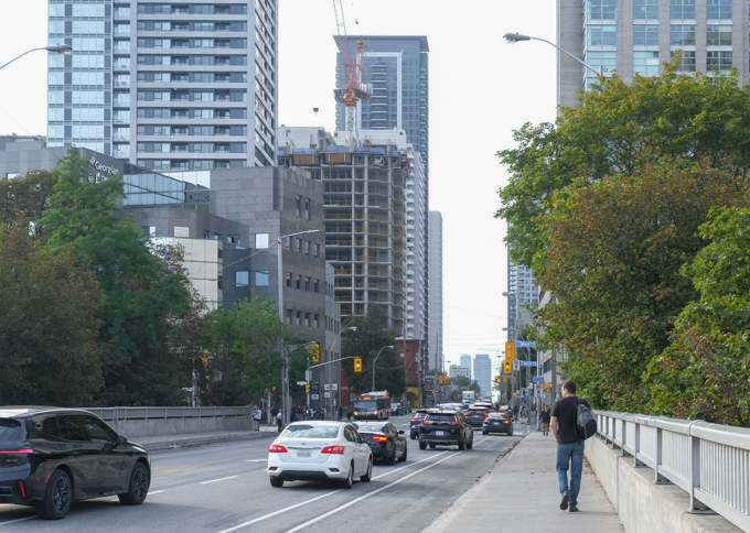
below: Sherbourne Street bridge, north of Bloor, over Rosedale Valley Road. This is the first bridge referred to in the title (yes, it took a while to get here!)
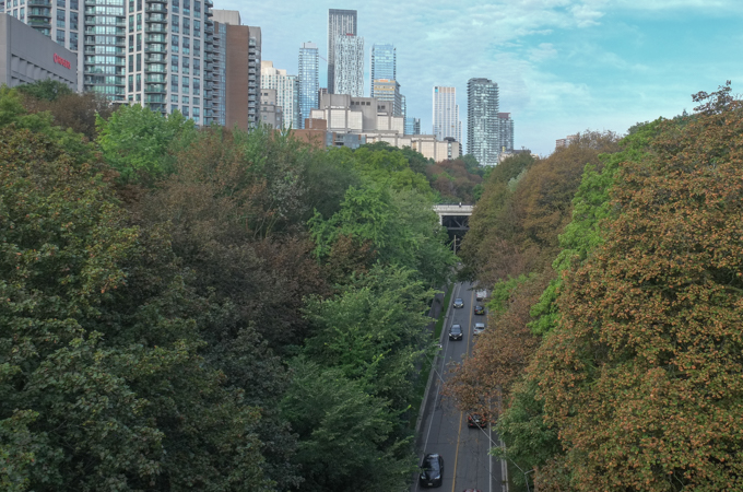
below: Rosedale Valley Road passes under Sherbourne Street as it winds its way along the bottom of the ravine from Bayview to Yonge (approximately!).
below: Once upon a time, the corner of Bloor and Sherbourne was home to the Sherbourne Blockhouse, shown here in a drawing by R. J. Brough (October 1862). There isn’t much to the road!…. but there is a church steeple in the background. This blockhouse was one of three built to defend the city from possible ‘invasion’ by rebels and other rabble rousers in 1837. That was the time of the Upper Canada Rebellion led by William Lyon Mackenzie against the British colonial government and the Family Compact (the unelected local ‘government’ of the day). The blockhouse wasn’t needed for defense and fell into disrepair. It is long gone.
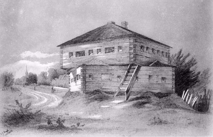
. Photo Credit: Toronto Public Library file E4-82a, Public Domain (found on Wikipedia).
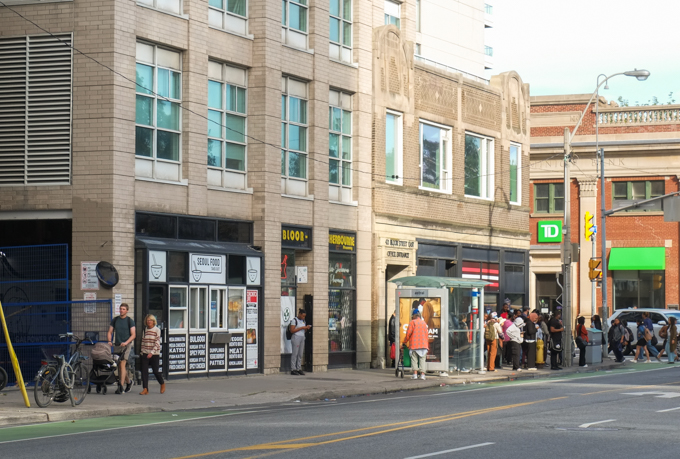
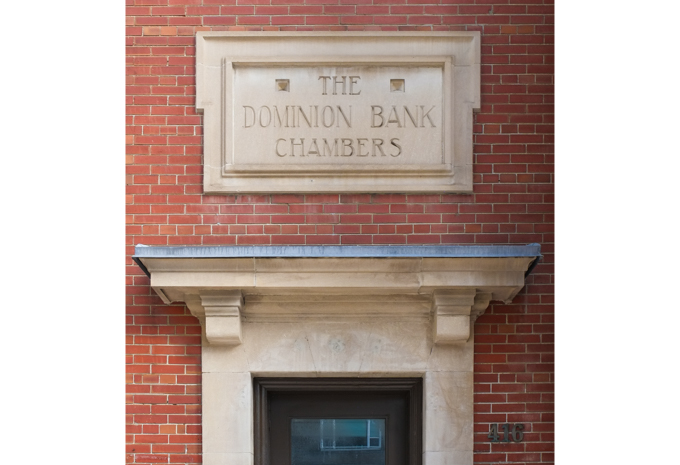
below: Part of the Bloor and Sherbourne intersection today. The red brick building on the right was once a Dominion Bank building – and is now a TD (Toronto Dominion) bank. The Dominion Bank was formed in the late 1860s. In 1955 it merged with the then 100 year old Bank of Toronto to form the Toronto Dominion bank.
below: The beginnings of Bloor Street east of Sherbourne – This photo was taken about 1908 and as you can see there wasn’t much of a road there. It would be 10 or 11 years later that the Prince Edward Bridge (aka the Bloor Viaduct) opened to the east thereby providing easy access across the Don River via Bloor. But that’s a whole other bridge, and a whole other story best left for another day. Note the Dominion Bank building at Bloor and Sherbourne – still there more than 100 years later. Also, there was already a Sherbourne Street bridge over the ravine.
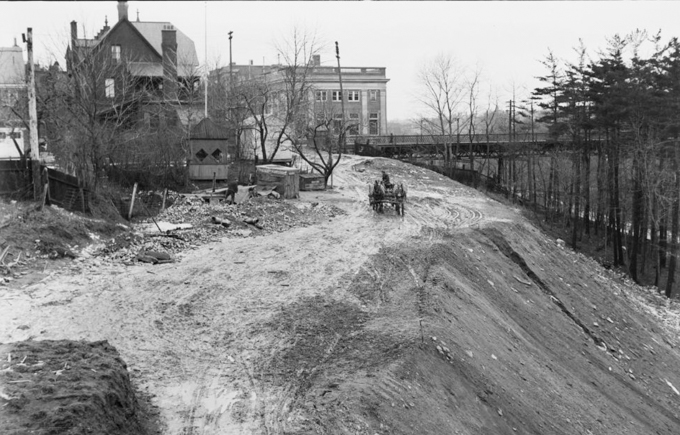
Photo credit: City of Toronto Archives, fonds 1244, item 7244
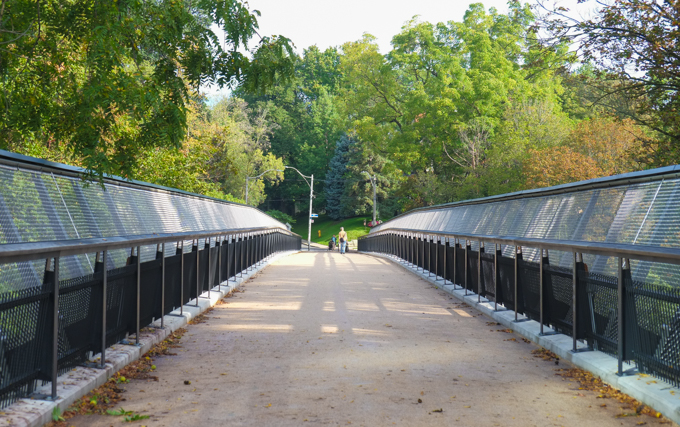
below: Glen Road Pedestrian Bridge connects Rosedale to St. James Town. It is officially called the Morley Callaghan Footbridge and for our purposes, it is bridge number two.
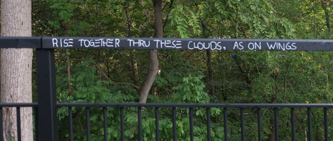
below: “Rise together thru these clouds, as on wings” This is actually part of the lyrics to a song, “Sunday” by David Bowie.
below: This is the plaque that is mounted on a wall near the bridge. It mentions Edgar Jarvis, one of the early land owners in the area. It was Jarvis who teamed up with Joseph Bloore to develop the land that became the village of Yorkville. The plaque’s title mentions the name Morley Callaghan then says nothing about him in the write-up. Callaghan (1903-1990) was a Toronto novelist/writer; he also appeared on TV and radio.
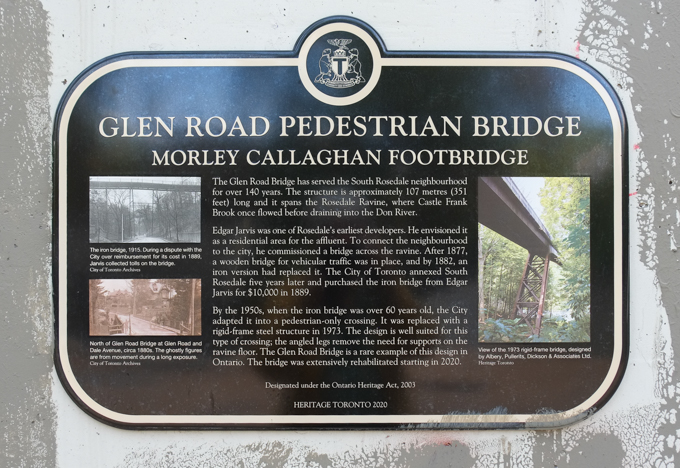
Glen Road Pedestrian Bridge – Morley Callaghan Footbridge. The Glen Road Bridge has served the South Rosedale neighbourhood for over 140 years. The structure is approximately 107 metres (351 feet) long and it spans the Rosedale Ravine where Castle Frank Brook once flowed before draining into the Don River. Edgar Jarvis was one of Rosedale’s earliest developers. He envisioned it as a residential area for the affluent. To connect the neighbourhood to the city, he commissioned a bridge across the ravine. After 1877, a wooden bridge for vehicular traffic was in place, and by 1882, an iron version had replaced it. The City of Toronto annexed South Rosedale five years later and purchased the iron bridge from Edgar Jarvis for $10,000 in 1889. By the 1950s when the iron bridge was over 60 years old, the City adapted it into a pedestrian only crossing. It was replaced with a rigid-frame steel structure in 1973. The design is well suited for this type of crossing; the angled legs remove the need for supports on the ravine floor. The Glen Road Bridge is a rare example of this design in Ontario. The bridge was extensively rehabilitated starting in 2020. Designated under the Ontario Heritage Act, 2003.
below: At the south end, the Glen Road bridge leads to a tunnel that goes under Bloor Street. The walls of the tunnel have recently been renovated and are now lined with three new pieces of art by Inuit artist Couzyn van Heuvelen .
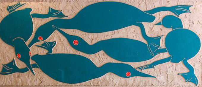
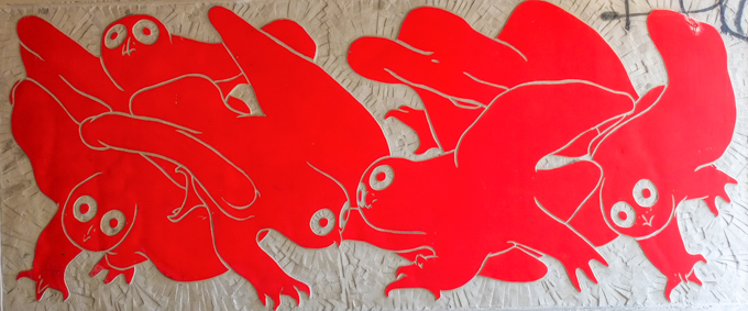
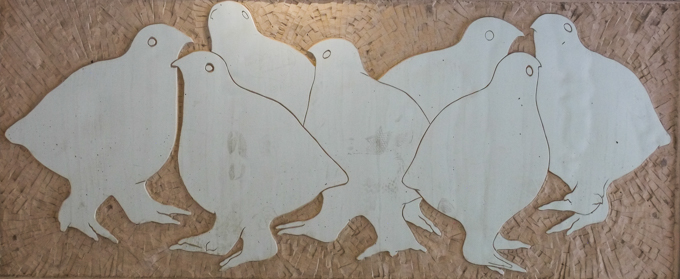
below: The Glen Road entrance to Sherbourne subway station.
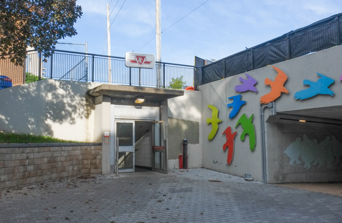
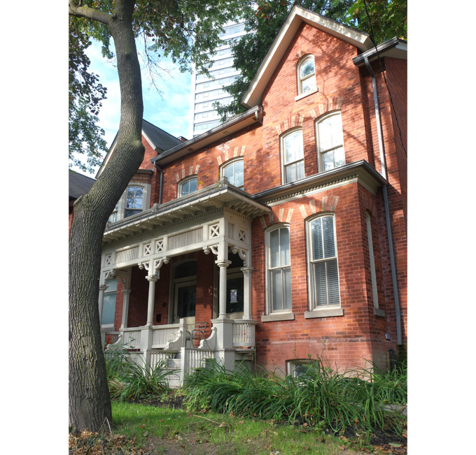
below: Glen Road ends at Howard where a few old houses still remain.
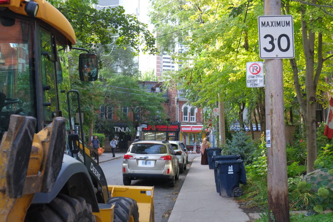
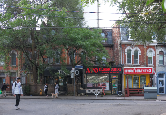
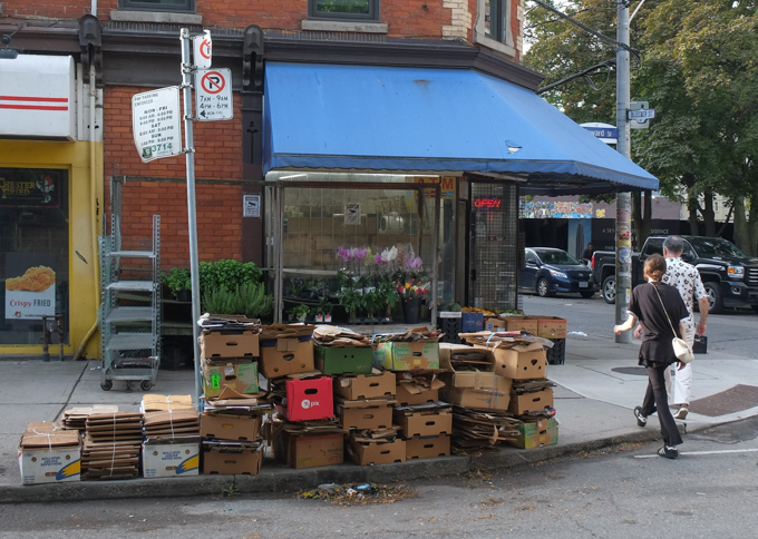
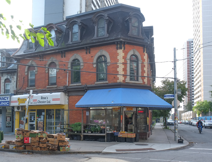
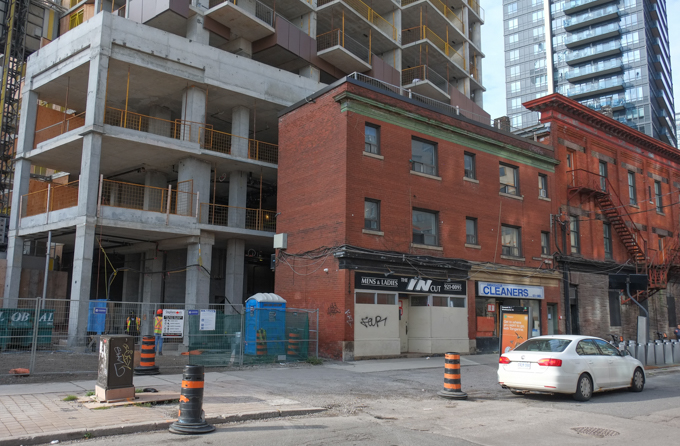
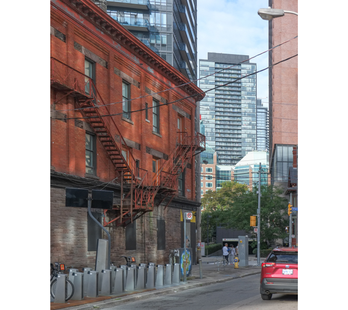
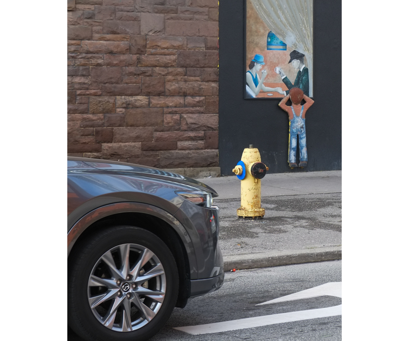
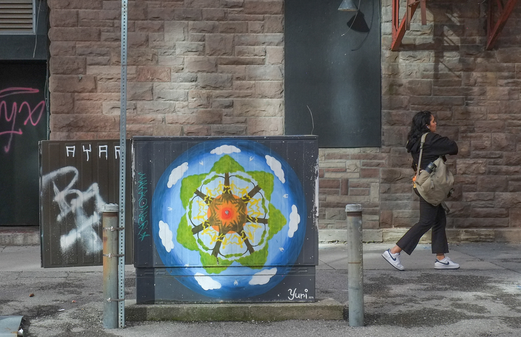
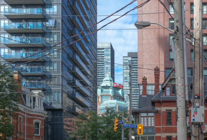
below: The view from Howard & Sherbourne, looking west, a mix of old and new.
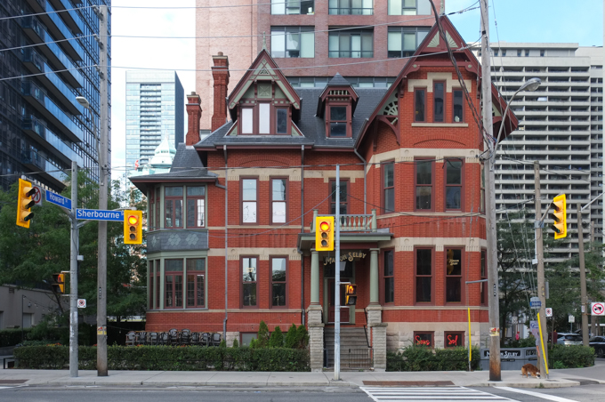
below: Maison Selby, on Sherbourne, this Queen Anne Revival-style building has is now a French restaurant. It has seen many changes over its 140 year history. The first occupants were members of the Gooderham family (the whiskey people). It was briefly home to Branksome Hall girls’ school before they moved to a larger space. In 1912 it became a hotel and it has generally been a hotel, bar, or restaurant space since then, albeit under many different owners.
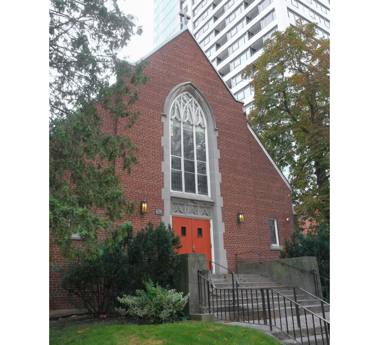
below: Trinity Lutheran Church, also on Sherbourne.
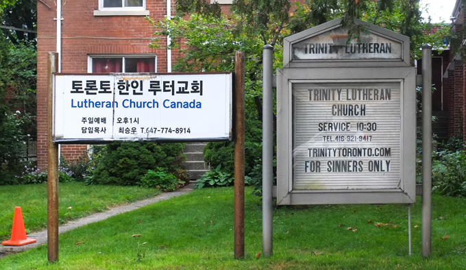
below: “For Sinners Only” says their sign – very inclusive!
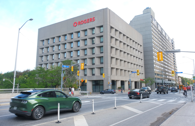
below: Back on Bloor Street where Rogers dominates the corner of Bloor and Mount Pleasant (another of those concrete buildings with recessed windows).
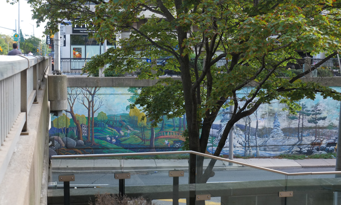
below: Mount Pleasant passes underneath Bloor. The walls are covered with murals by Ian Leventhal.
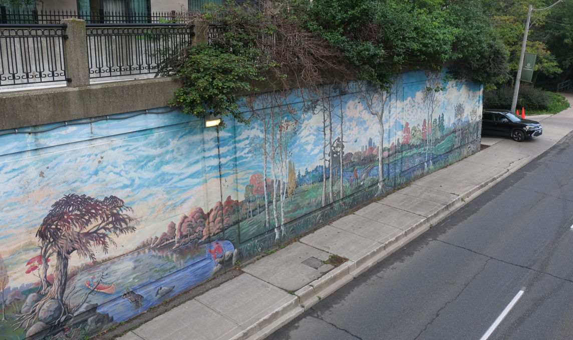
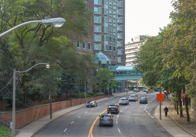
below: The south end of Mount Pleasant just before it becomes Jarvis Street… and that makes bridge number three.
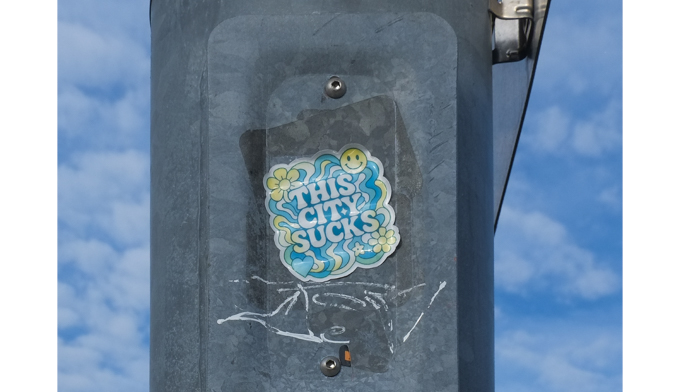
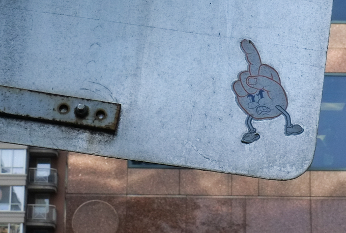
below: It’s not the most positive note to end on but hey, someone took the time to make this sticker and then find a home for it. May they change their mind one day!