Archive for the ‘locations’ Category

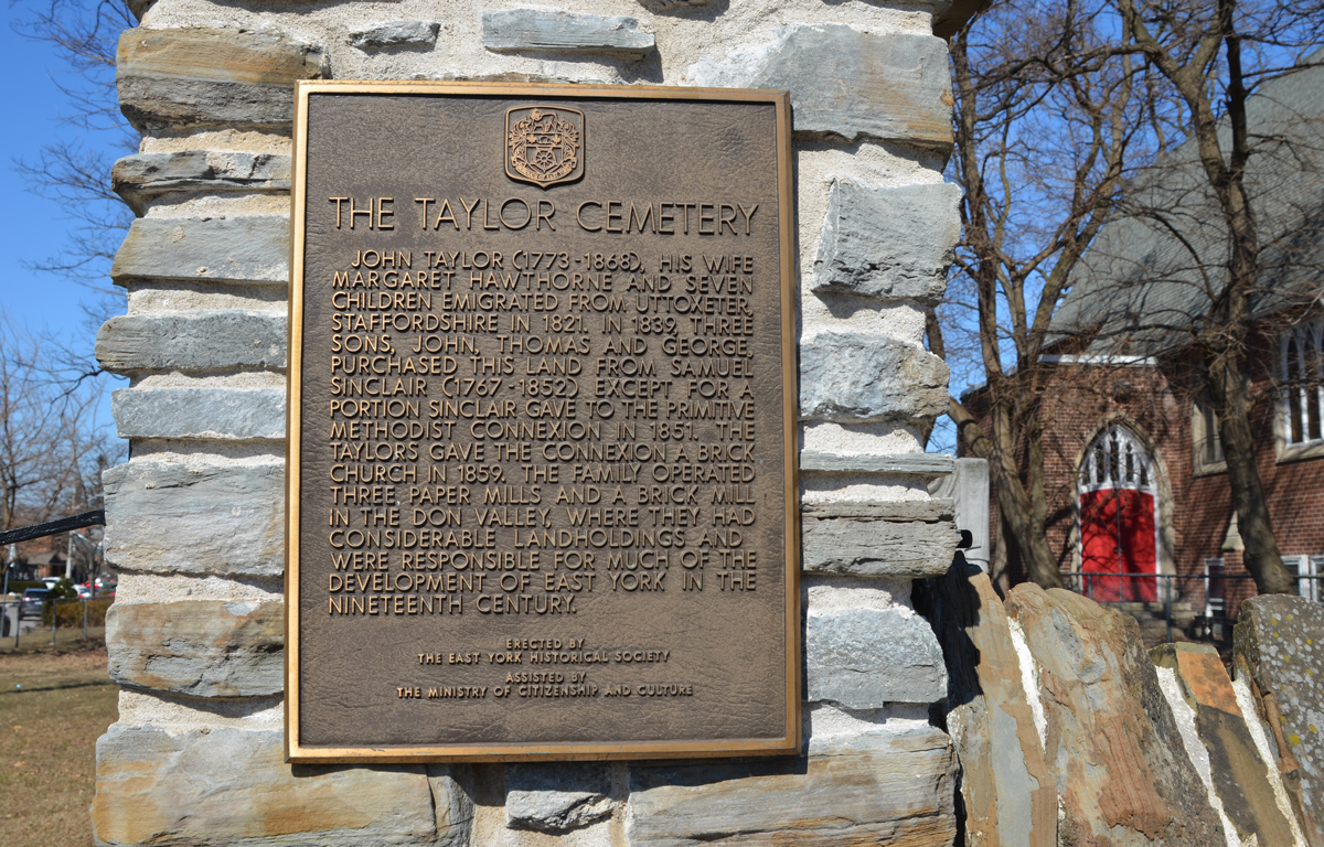
The other day I was walking a section of Dufferin Street,  I came across this Heritage Toronto plaque in a little park at Dufferin and Briar Hill.

Heritage Toronto plaque for the community of Fairbank

“European farmers began a community here in the early 19th century on land that was included in the 1805 Toronto Purchase treaty between the Mississauga of the Credit River and the British Crown. When a post office was established in 1874, the area was named Fairbank after a farm belonging to settler Matthew Parsons.
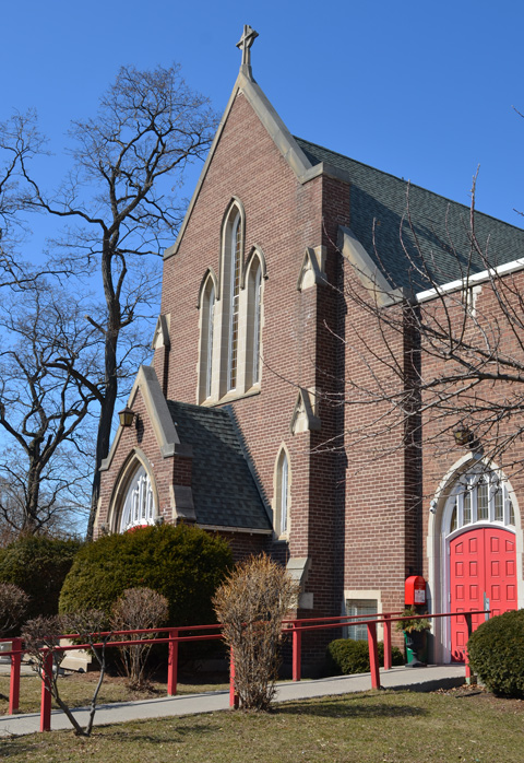
By 1881, about 17 families lived in the community, near the present-day intersection of Dufferin Street, Vaughan Road, and Eglinton Avenue. The Fairbank Wesleyan Methodist Church was constructed in 1889 with bricks made in a local kiln, the building still stands across the street. When he died in his nineties in 1924, Isaac Dollery, a carpenter and early settler, had witnessed his community evolve from a farming outpost to a suburb of Toronto.
Land in Fairbank was subdivided in 1890, coinciding with the construction of the Belt Line Railway commuter line. The railway made travel to Toronto easy, yet the line failed financially and ceased operation in 1894, after only two years.
Between the world ward, residential development grew and the streetcar arrived in Fairbank in 1924. Industries such as the Paton-Baldwin Knitting Works and Fairbank Lumber and Coal Co. also opened in the area. Fairbank was part of the City of York until amalgamation with the City of Toronto in 1998.

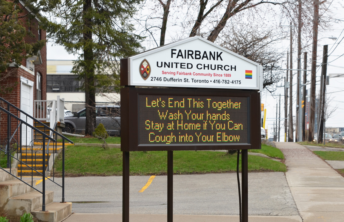
below: This is the church mentioned in the plaque – now part of the United Church.

exterior of Fairbank United Church, red stone church, on Dufferin Ave

sign outside Fairbank United Church, in lights, that says Let's end this together, Wash your hands. Stay at home if you can. Cough into your elbow.

below: By the time I had finished walking, I wanted to know more about Matthew Parsons and the community of Fairbank.  I found this map showing property owners with some of the modern streets added.  It looks like its original source was the book, “Historic County Map of York County”, published in 1860 as part of a series of map books covering the early counties of what is now Ontario.

old map showing location of Dufferin Ave, Glencairn, Briar Hill, and other streets in relation to original land owners in the area

Matthew Parsons bought the farmland in 1835 when he was only 19 years old.  Originally he owned 200 acres of land in a rectangle bounded by Glencairn, Dufferin, Eglinton, and Keele.

below: The intersection of Dufferin and Eglinton in 1919

old black and white photo of dufferin and eglinton in 1919 showing narrow dirt roads and farms

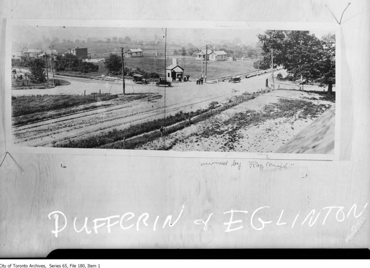
photo credit: From the City of Toronto Archives, but found online on the Fairbank Village BIA website. Follow this link if you are interested in more of the history of the area.

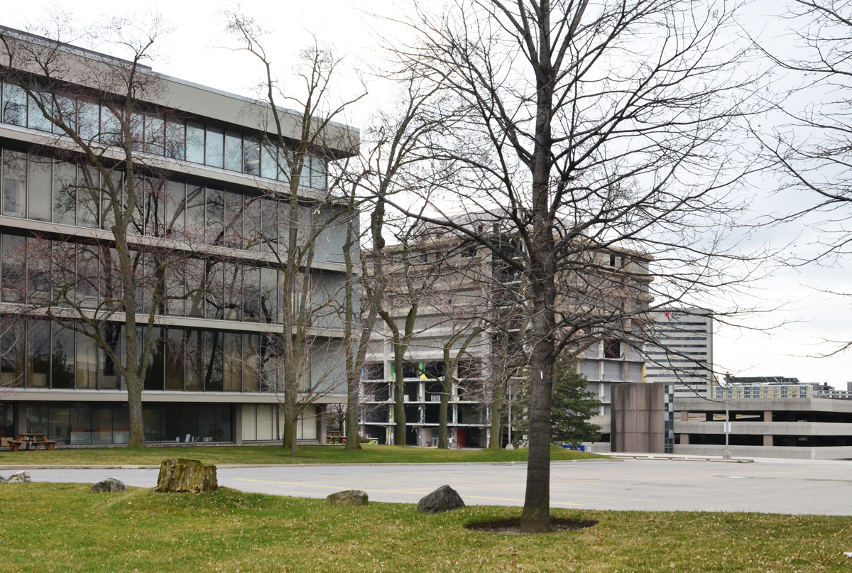
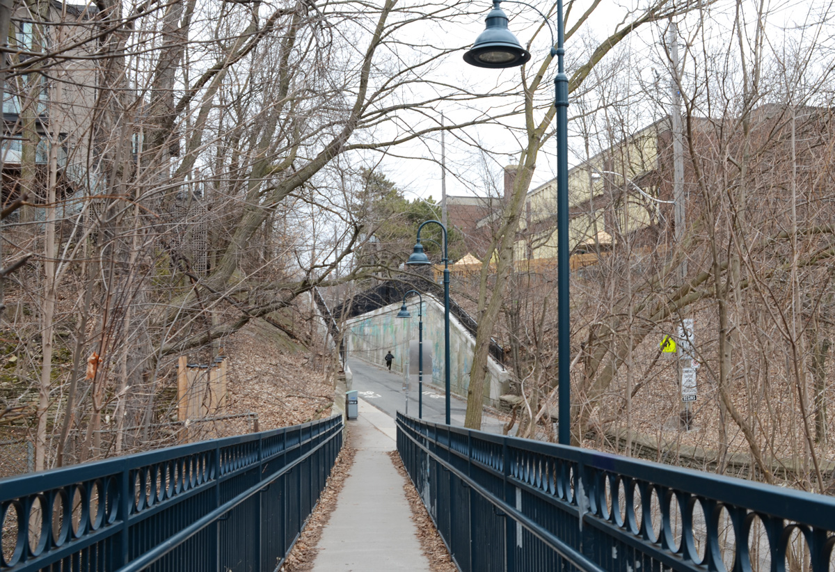
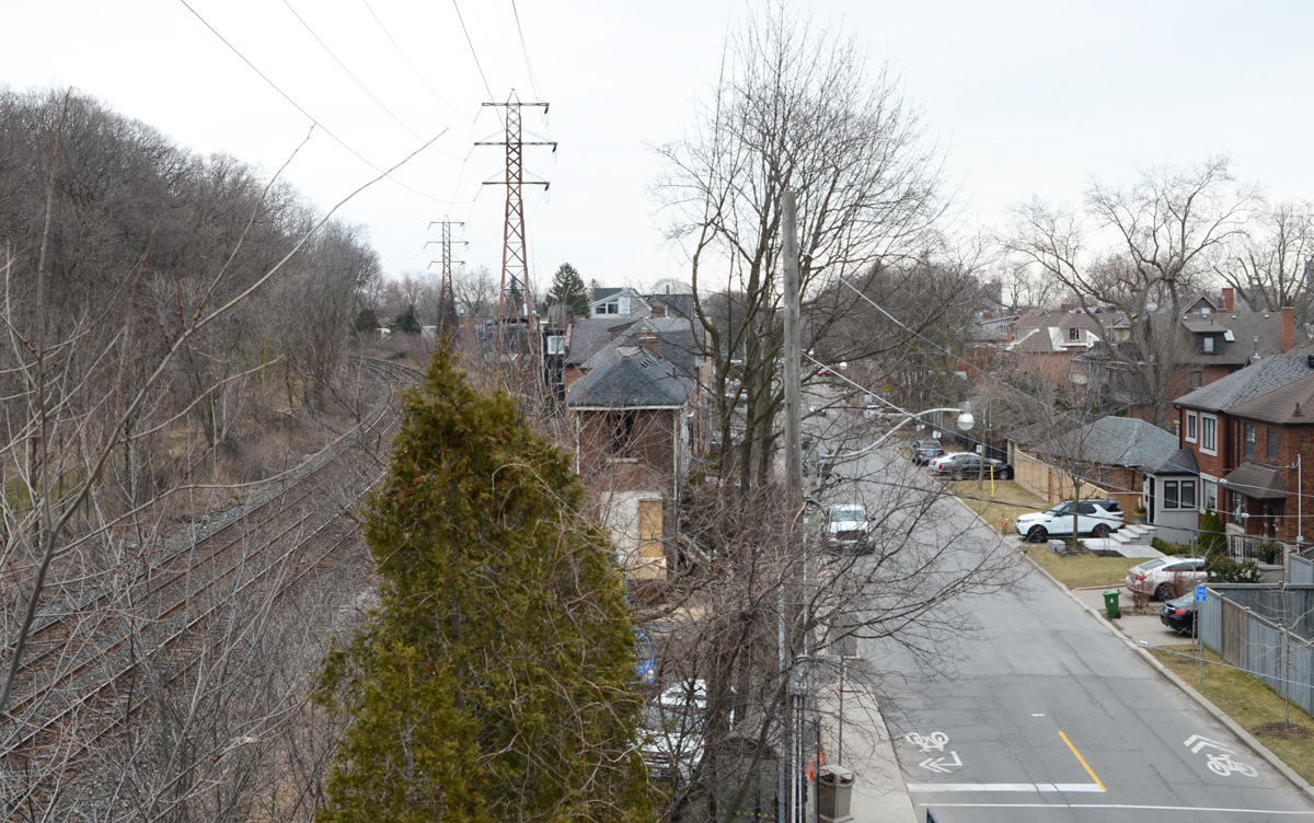
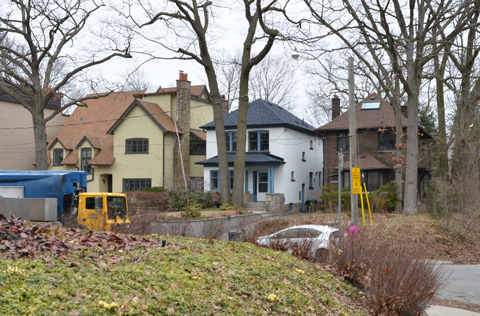
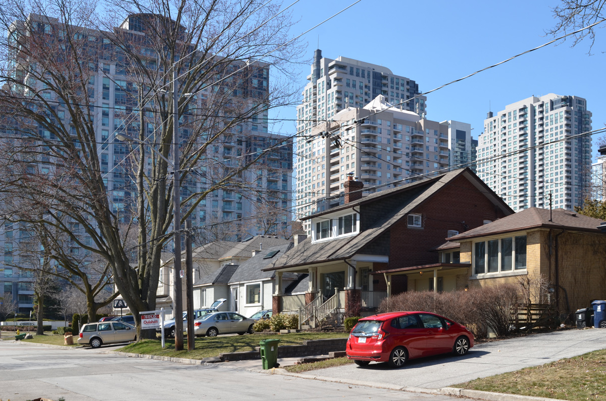
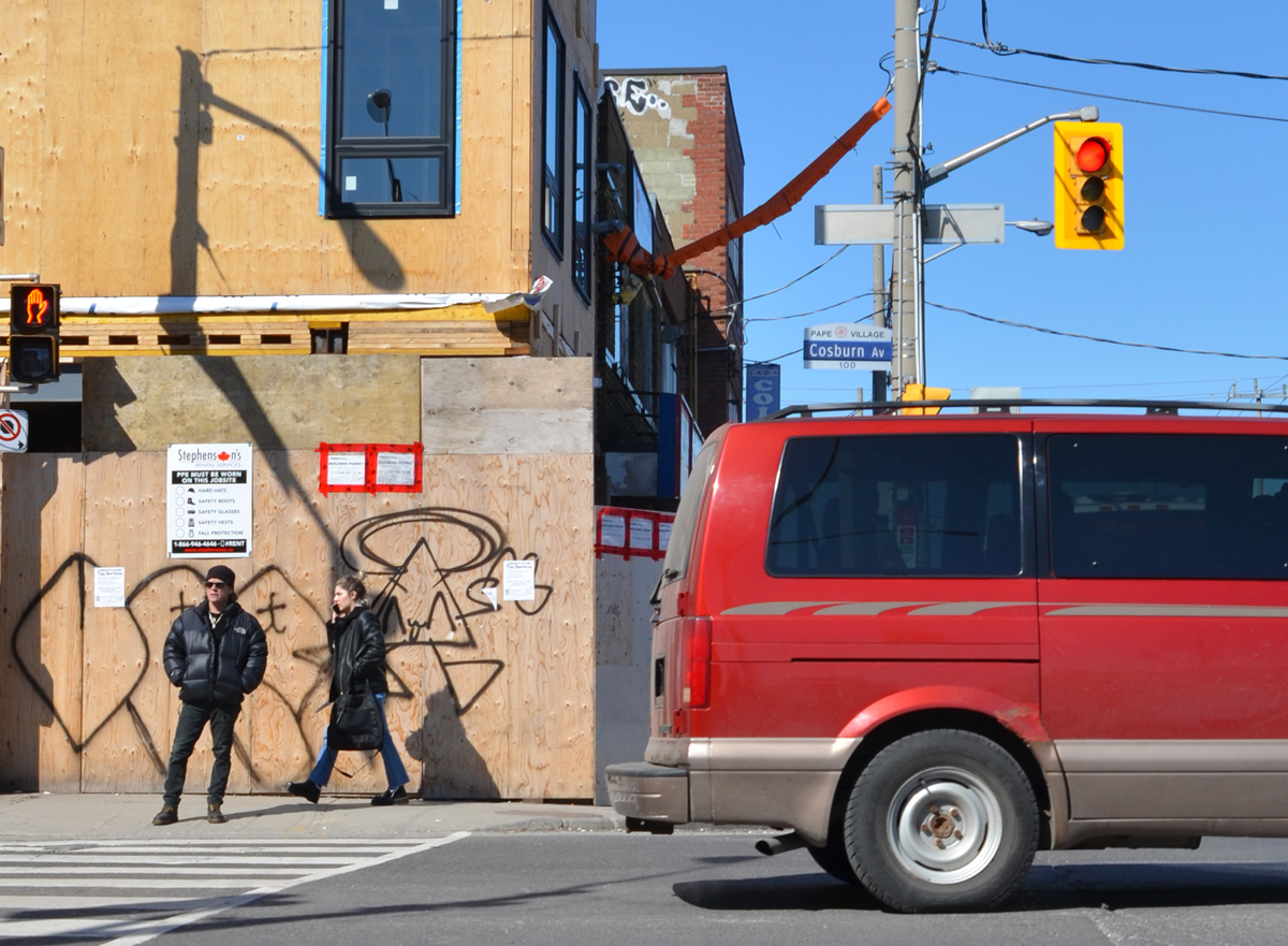
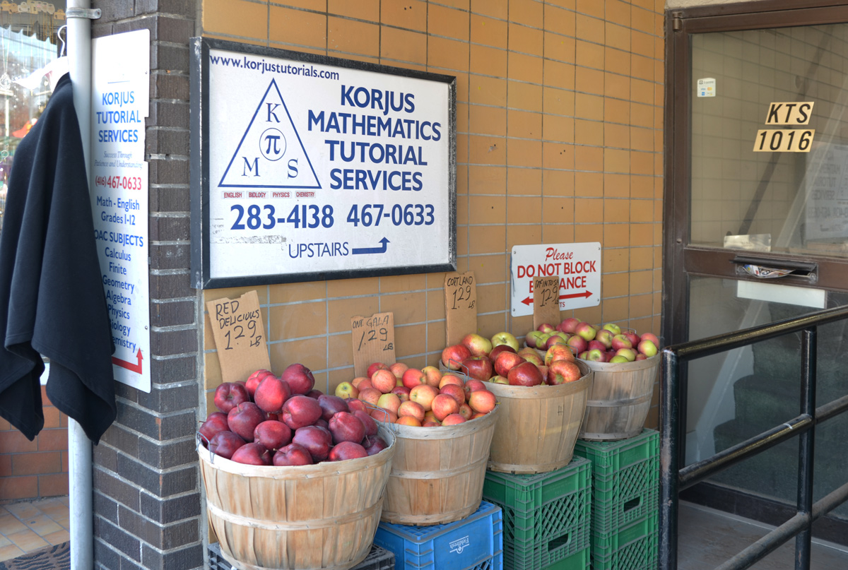
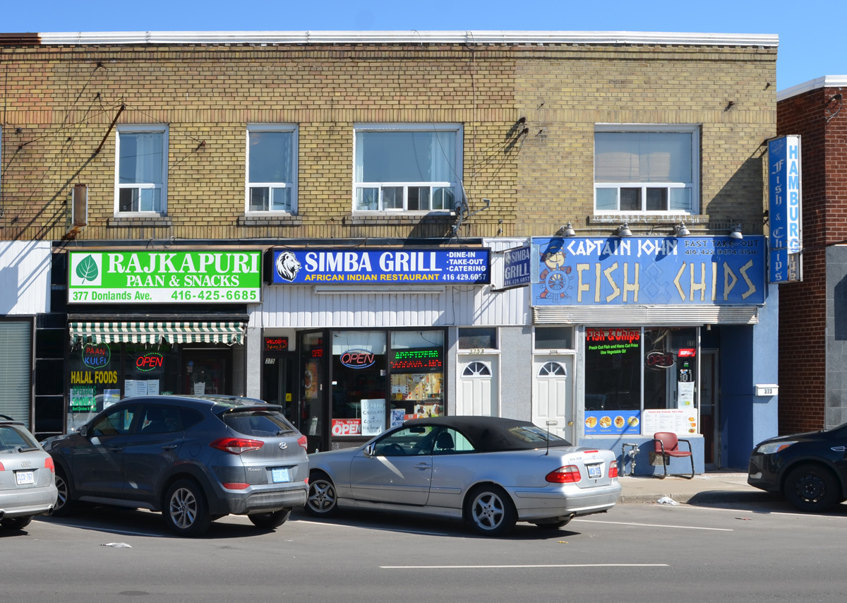
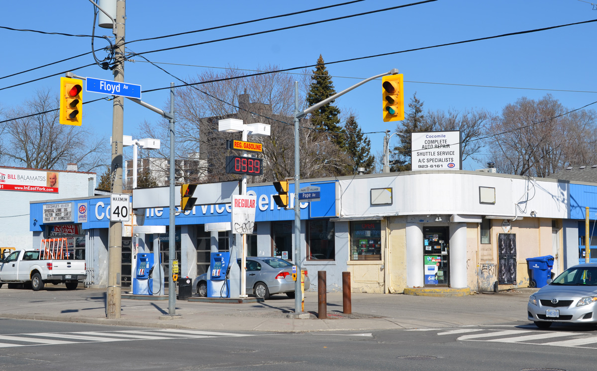
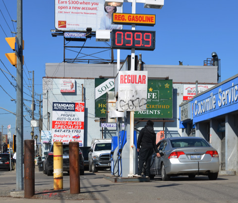
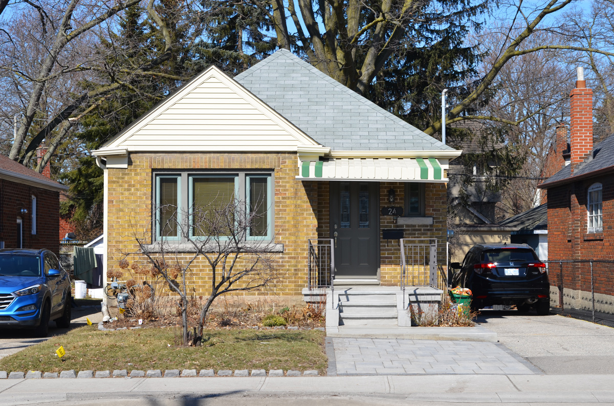
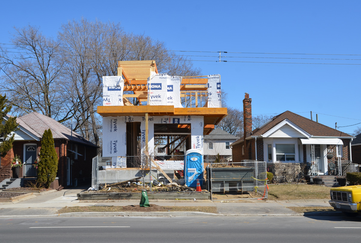
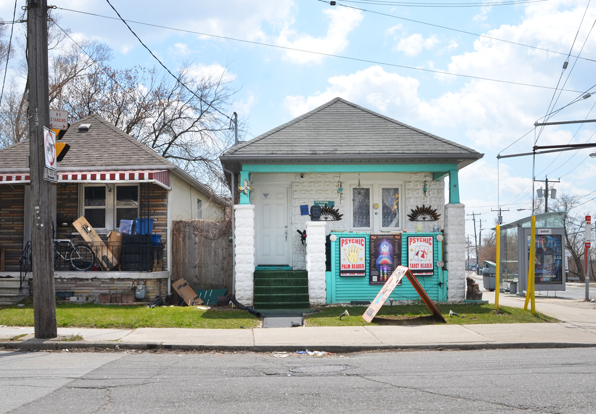
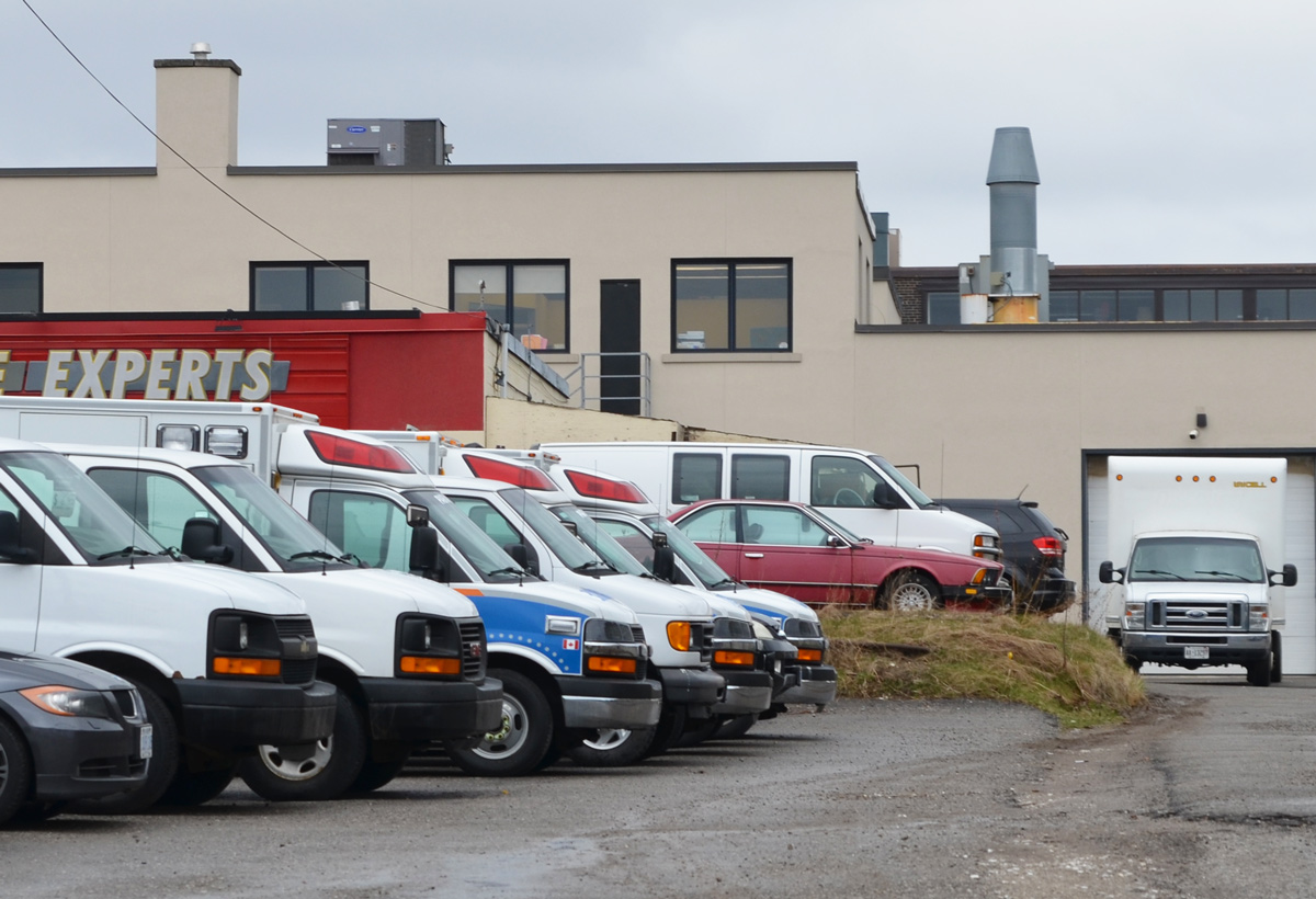
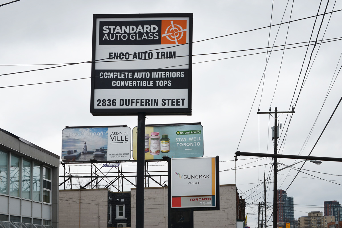
My walk that day did not cover all of Matthew Parson’s farmland and at one point I wandered farther east. Some of the pictures that I took that day include the following.  In general, to the east of Dufferin is residential and to the west is light industrial (as well as warehouses and wholesalers).

below: Glencairn and Caledonia, the western end of Glencairn.

a little white house with teal or turquoise trim, with signs advertising business of a psychic

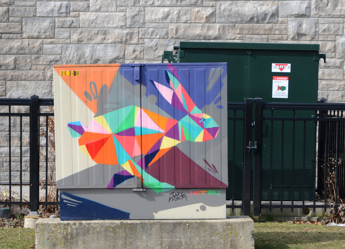
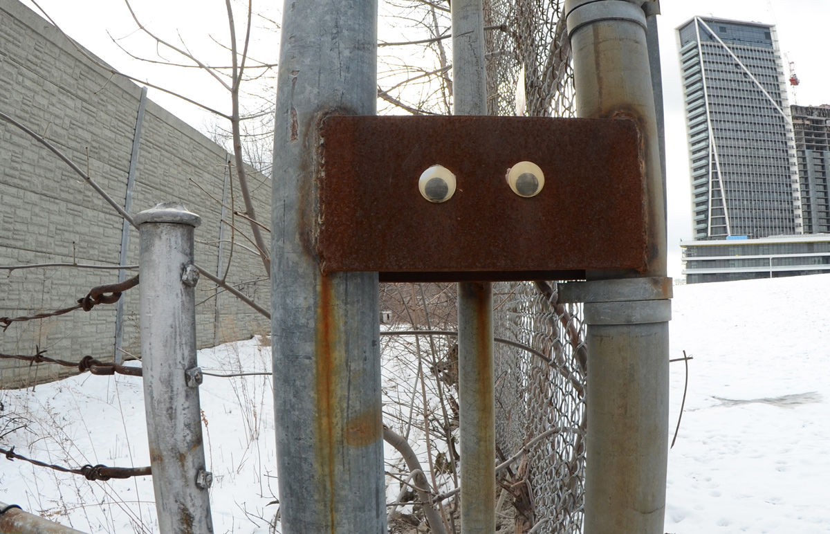
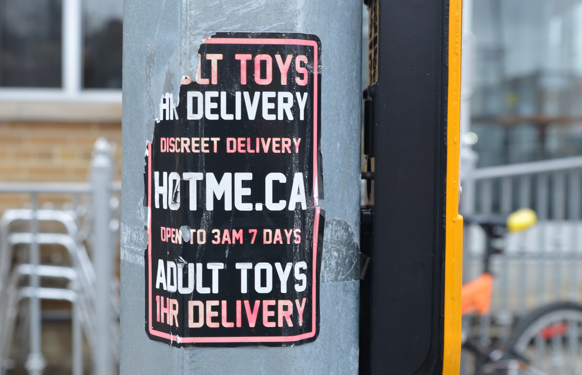
below: Like everywhere around the city, you never know what kinds of posters or stickers you’re going to find on the poles.  I’m not too sure how fast they come, but they’re discreet apparently.

a sticker on a ttc bus stop pole that says believe in one love

street signs at the corner of Dufferin and Tycos

hydro poles and concrete barrier blocking access to street behind

two low rise warehouses, one is Janet Ladieswear with faded pictures of women's clothing in the window, sign beside it for Fashion Cage ladies clothing wholesale,

a fence with a no trespassing sign, with industrical building behind

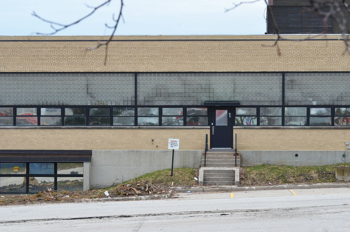
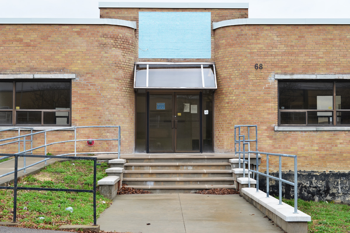
below: A building with symmetrical curved walls, a hint of art deco in the architecture.   It is empty and available for sale or lease like a lot of buildings in the area (southwest of Glencairn and Dufferin)

front of a low rise brick building with curved exterior walls on either side of the entrance way

low rise brick light industrial building with an old boat parked beside it

below: Tucked in amongst the industrial buildings is the Ethiopian Orthodox Tewahedo Church, Menbere Berhan Kidest Mariam ( Saint Mary) Cathedral, consecrated in November 2012.

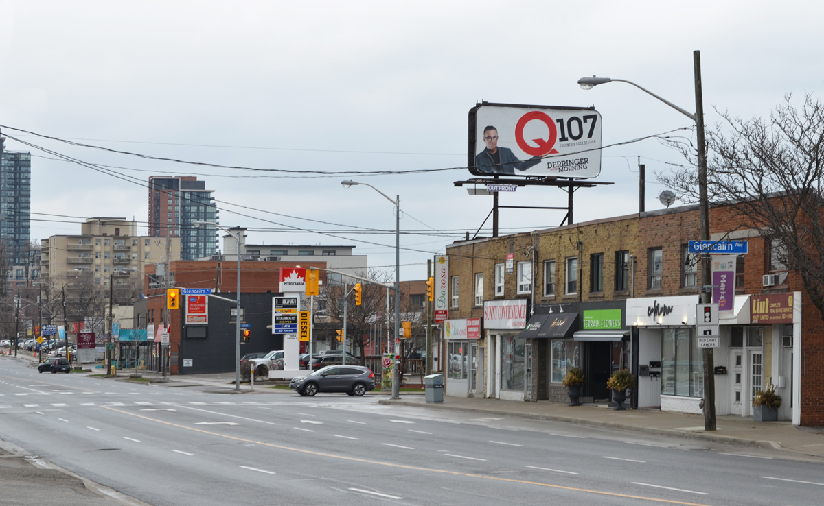
below: East side of Dufferin at Glencairn.

strip mall, plaza on Dufferin

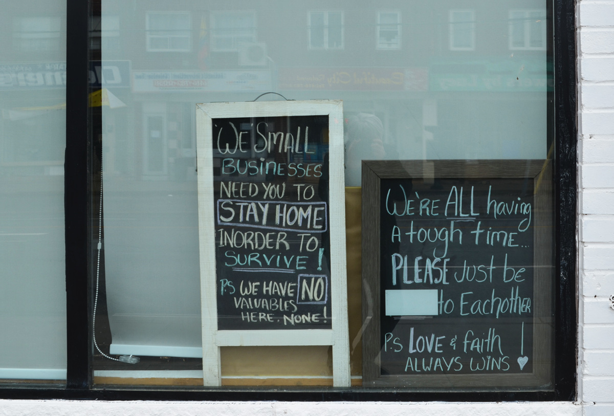
below: Chalkboard notices in the window on Dufferin Street

two chalkboard signs in the window of a store

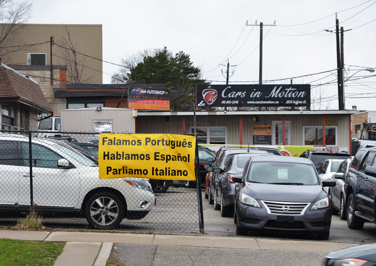
below: Trilingual car sales people.

used car lot with trilingual sign,

a row of parked cars, light trucks, and ambulances behind an auto mechanic shop

a bunch of fake flowers tied to a pole at an intersection, beside a metal box that has been painted with flowers

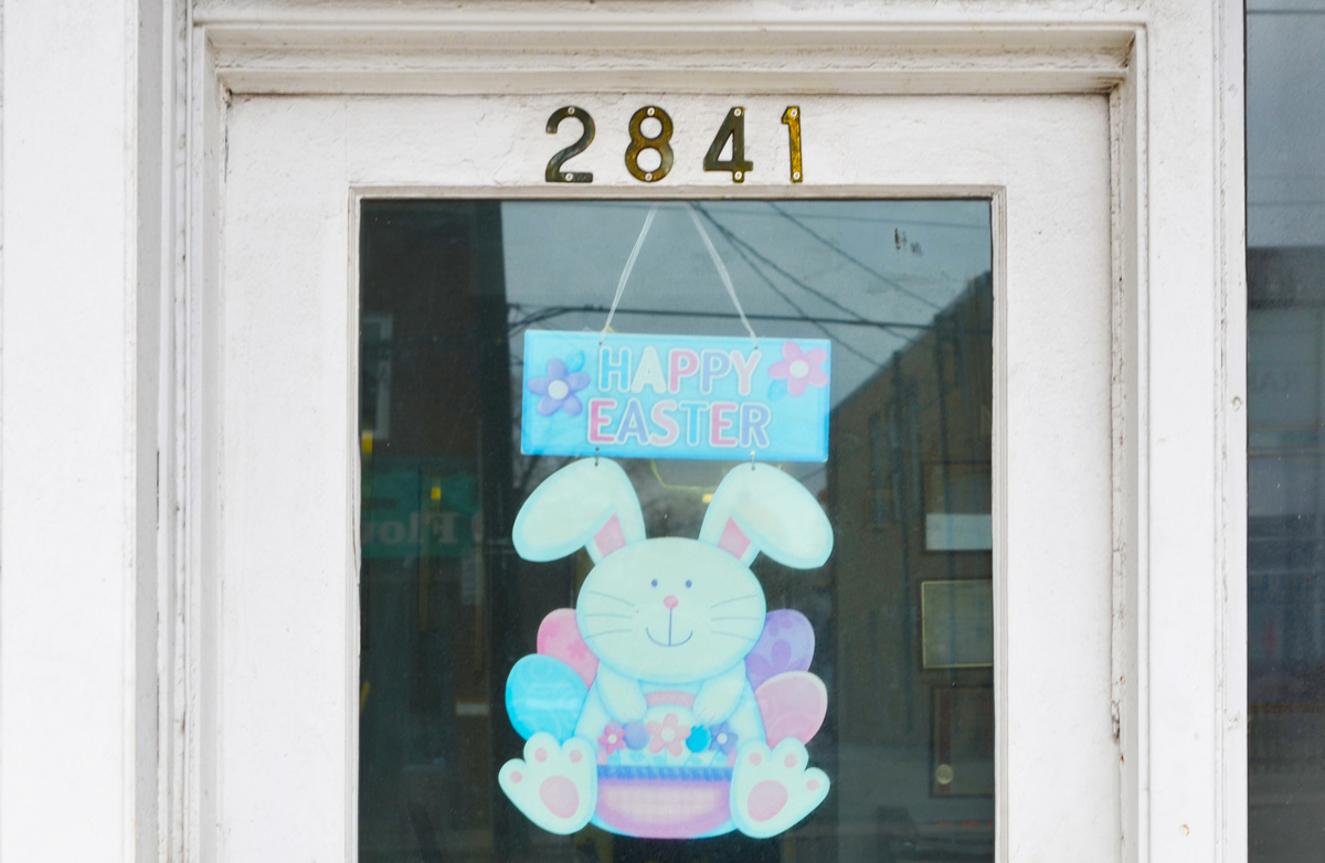
below: The Easter Bunny may be faded but its still happy!

happy easter bunny sign in the window of number 2841

below: She has been dancing for them, in the same spot, for so long that time has stopped.

sign in front of a framing store, epty frame on top and an old faded picture on the bottom

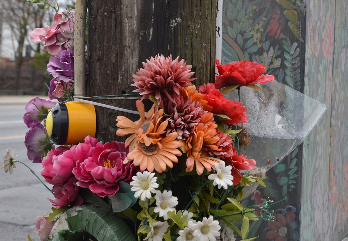
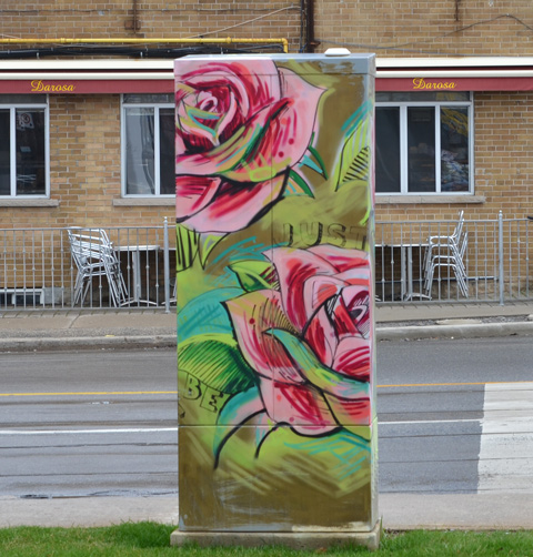
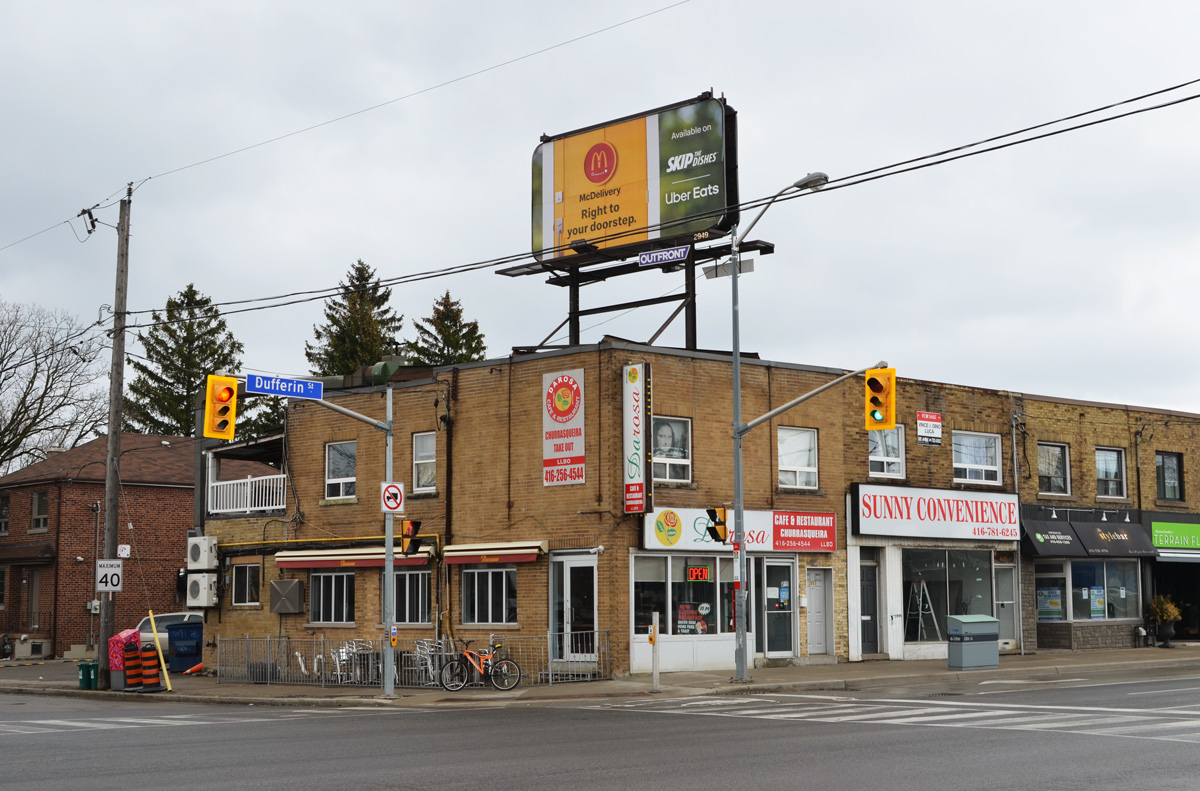
below: Two roses for Darosa.

a metal sidewalk box painted with two pink roses

below: Southeast corner of Dufferin and Glencairn

stores on the corner of

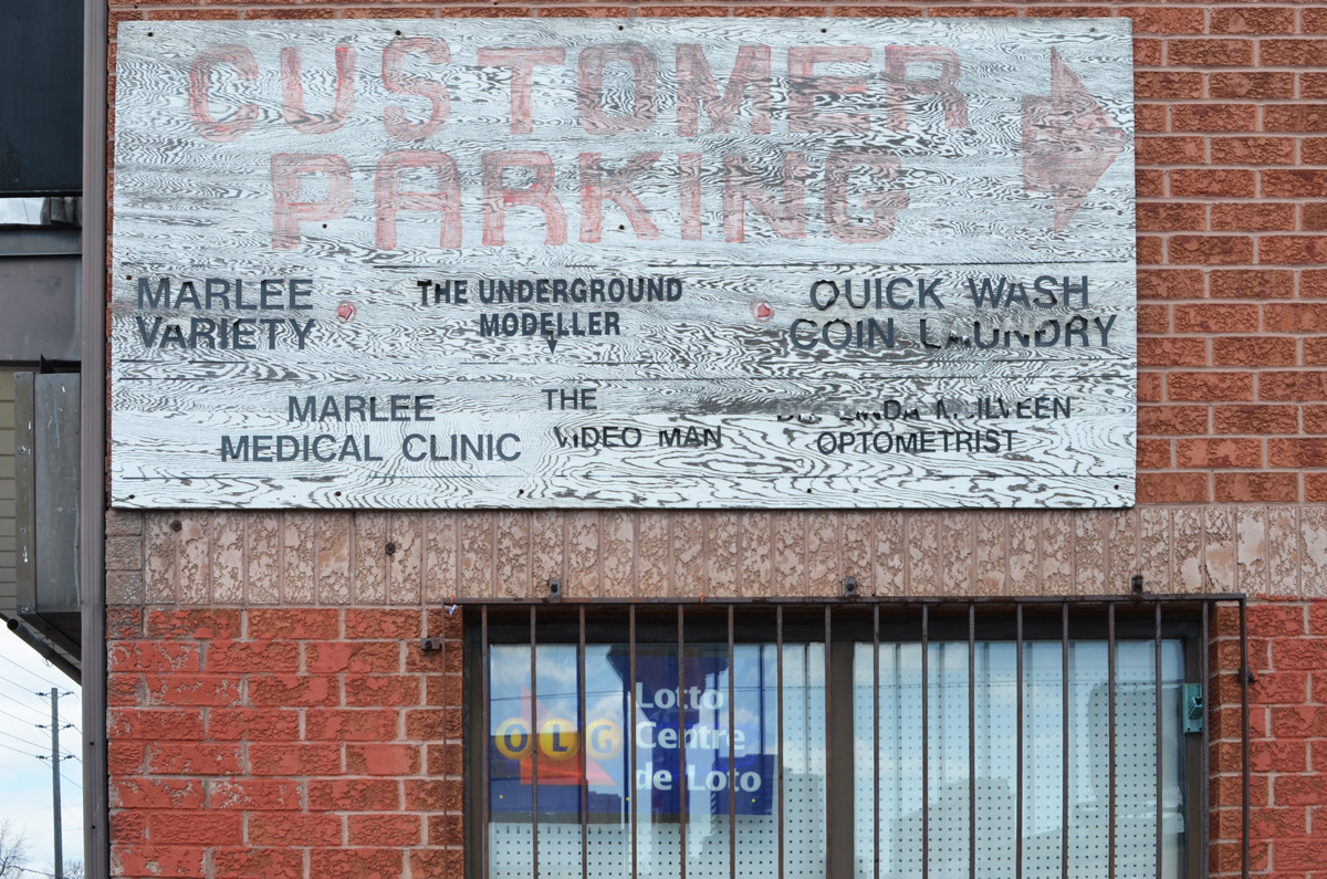
below: Glencairn and Marlee

a sign that says men hair cut fifteen dollars, beside the sidewalk in front of a plaza

windows, looking through 2 sets of windows, through an empty store on the corner

below: Looking north on Marlee

sidewalk lined with wood utility poles with wires, a sign for Variety store with store that sells DVDs

restaurant, white wall, three windows and old sign advertising lunch special

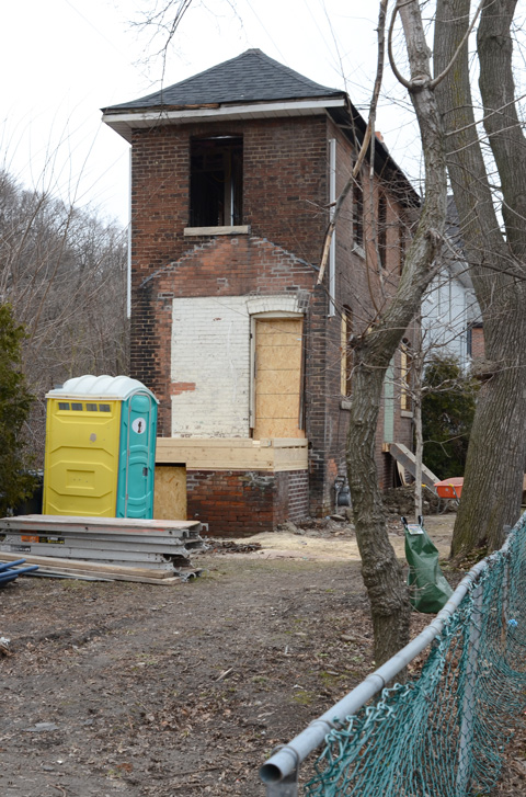
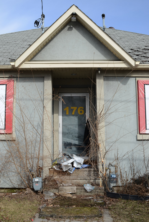
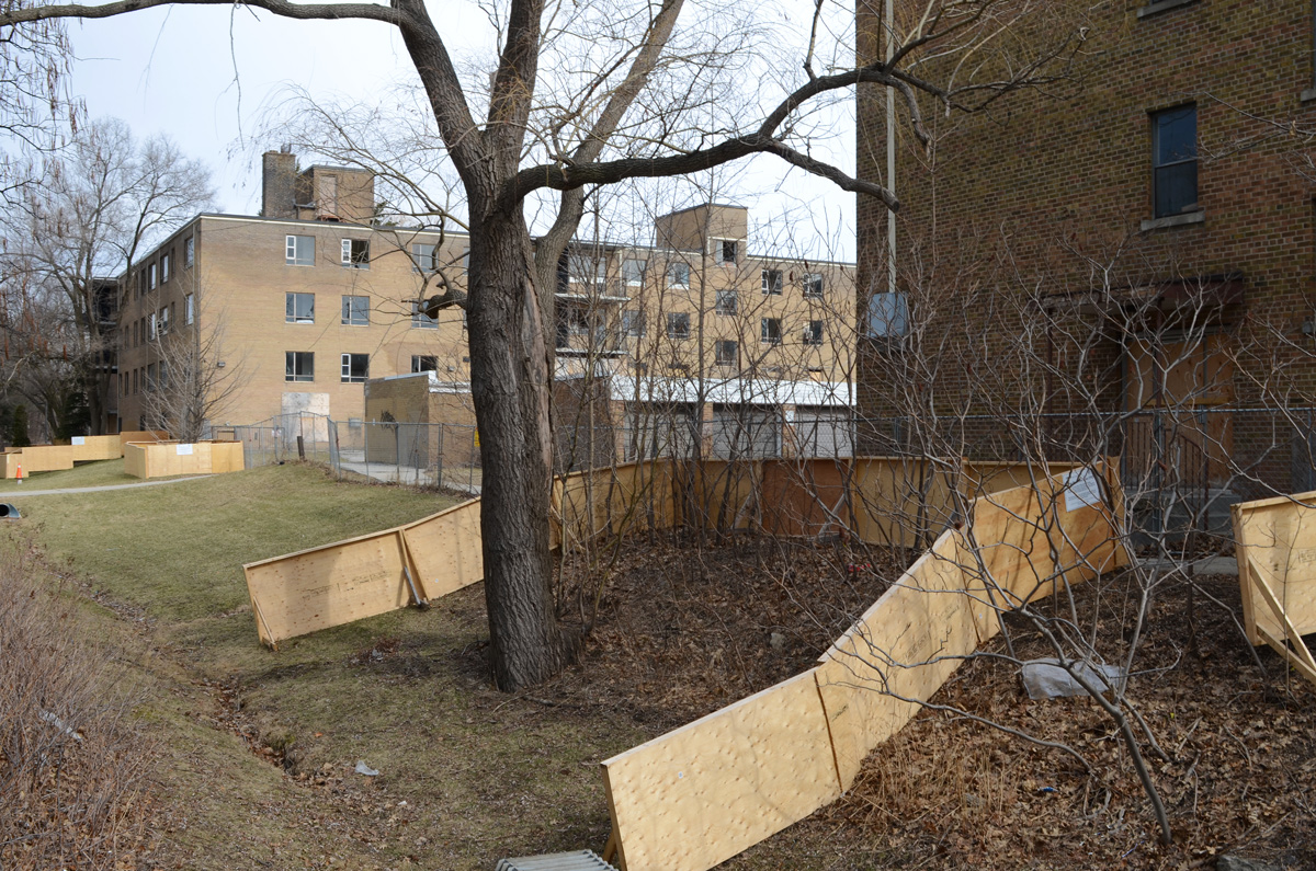
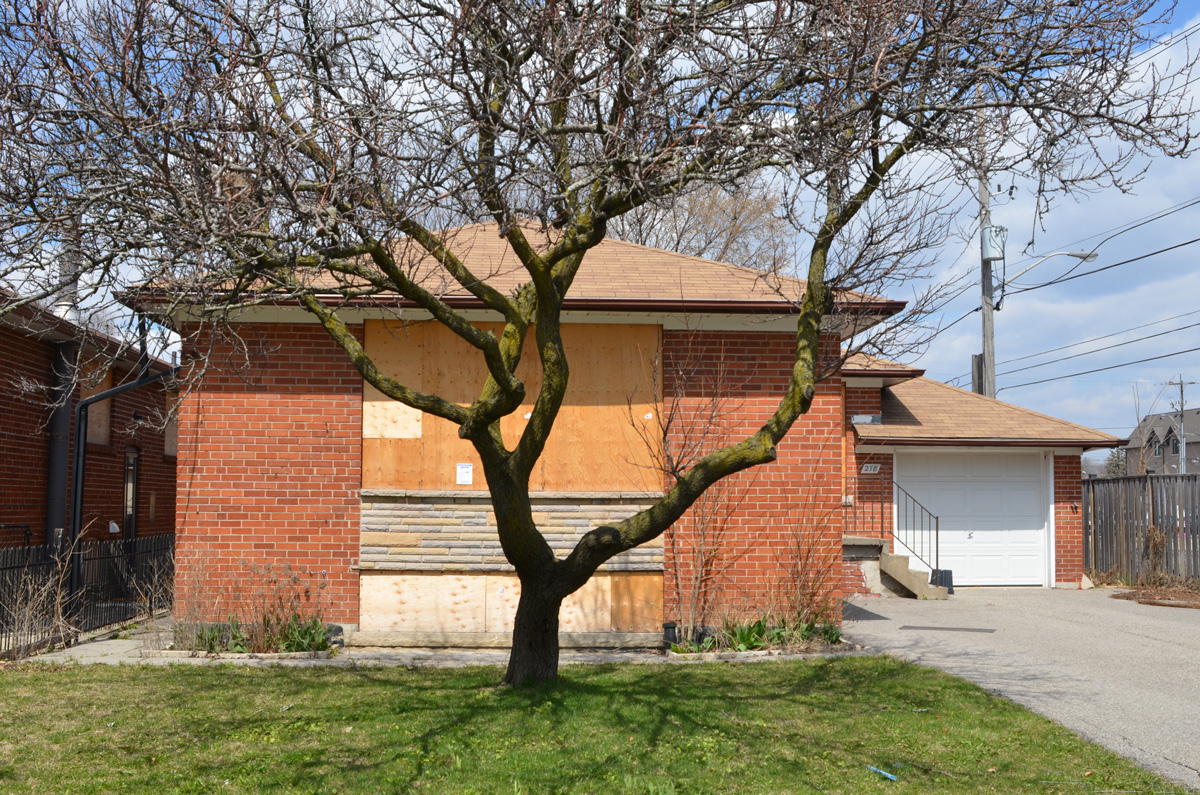
below: I don’t purposely go looking for redevelopment projects but I keep stumbling on them wherever I go.  This is near Glencairn and Marlee where a group of houses are all boarded up.

house, bungalow, boarded up and empty, for redevelopment

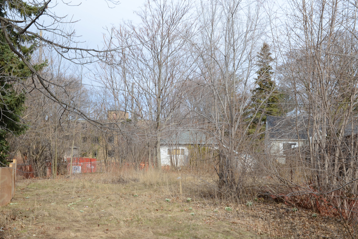
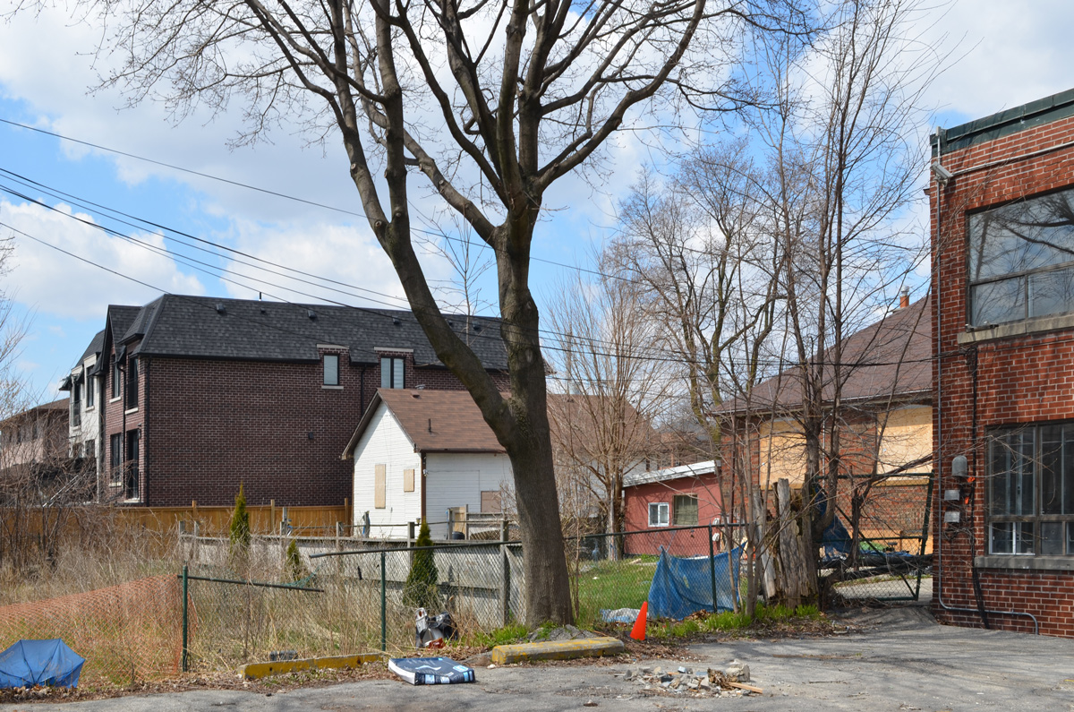
below: The backyards of these houses are adjacent to the backyard of the house above.  They are all going to be replaced with a midrise condo.

blue and white development notice in front of a small white house and a vacant lot, to be replcaed with 8 storey condo

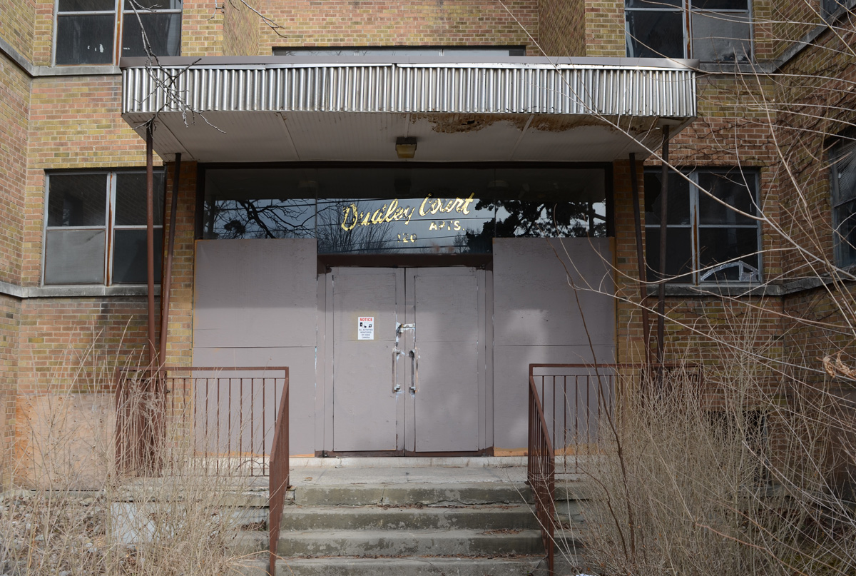
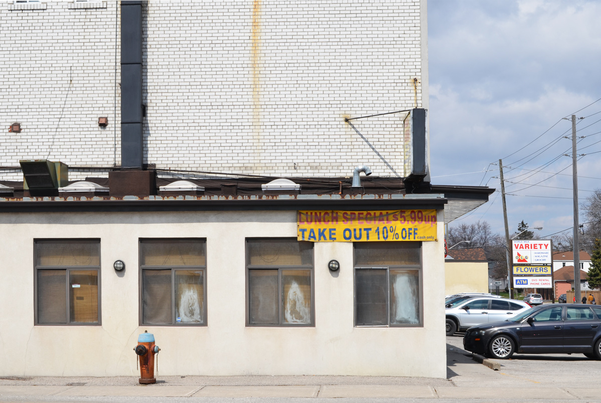
below: As well, the strip mall, or plaza, on the other side of Marlee will be demolished.

old sign on the side of brick store that says customer parking in faded red letters and then it lists the stores in that plaza

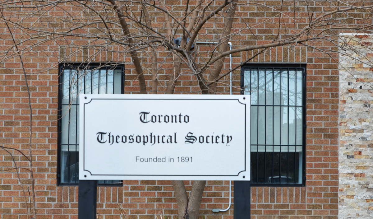
below: Home of the Toronto Theosophical Society.

sign outside a brick building says Toronto Theosophical Society

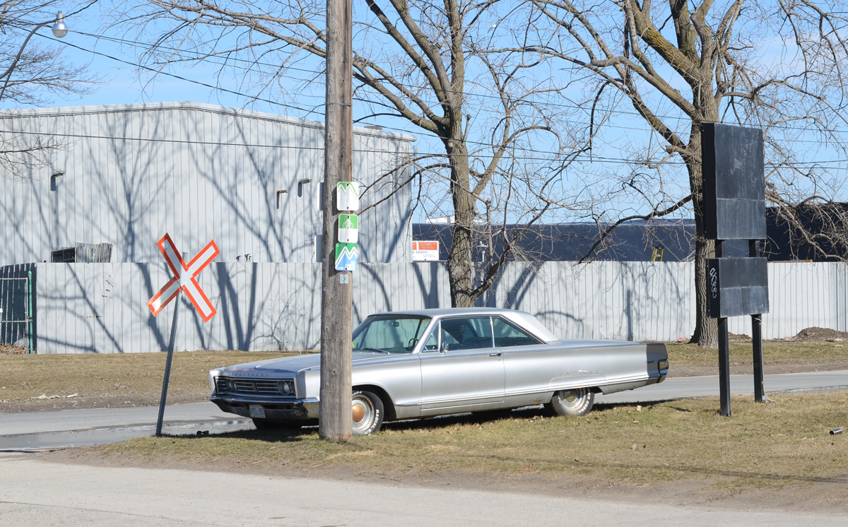
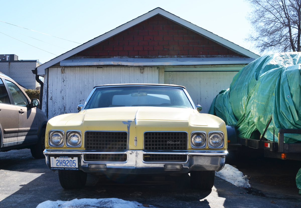
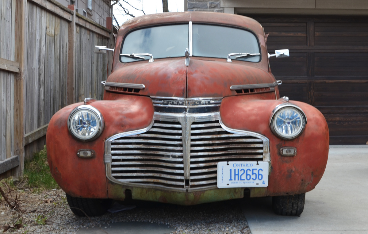
below: A lovely old Chevrolet (early 1940s?)

old red chevrolet car parked in a parking lot
white wall, brick, painted, four large colourful flowers painted on it, 2 pink and 2 orange. Also a red heart with turquoise lines above and below, street art

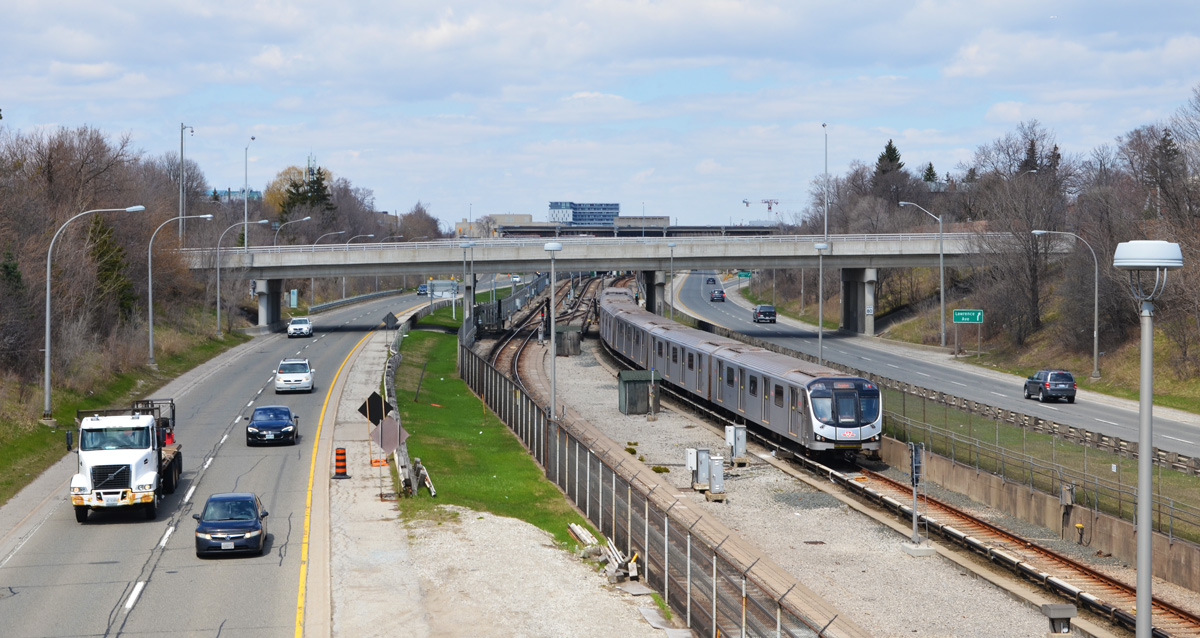
below: The Allen, looking north from Glencairn.  Technically it is the William R. Allen Road but no one calls it that.  At Glencairn it is an expressway.  The road was part of the Spadina Expressway proposed in the 1950s – Metropolitan Toronto was formed in 1954 and highway building was one of its priorities.  The Spadina Expressway would join downtown with the 401 highway at the new Yorkdale Mall.    The more northerly part of the road was built prior to 1971 when the project was cancelled.   Here, at Glencairn, the road site had only been leveled and it became known as the ‘Davis Ditch’, after Bill Davis the Ontario Premier at the time.  It wasn’t until 1976 that the stretch between Lawrence and Eglinton was finished.

looking north on the Allen Expressway from the bridge over it at Glencairn, some traffic on the road, a subway track northbound on the tracks between the two sections of the Allen

below: The south entrance to Glencairn station (the north entrance looks exactly the same and is located directly across the street).  It opened in 1978.   Note the coloured glass roof.

Glencairn subway station south entrance on the side of Glencairn bridge over the Allen Expressway

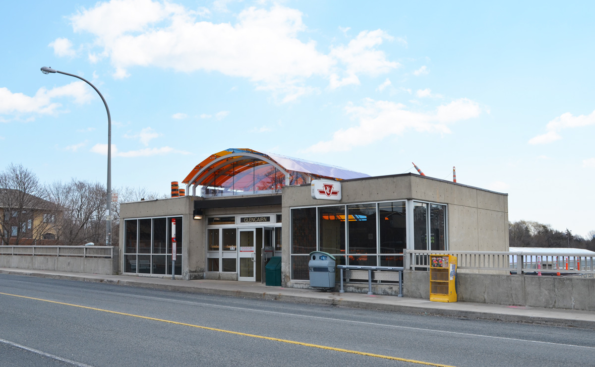
below: There is a yellow glow in the interior from the stained glass roof.  The skylight roof has been refurbished; Rita Letendre’s artwork “Joy” had become very faded since its installation in 1978 .

interior of Glencairn station, escalator going down, colour yellow from the glass roof that is being refurbished

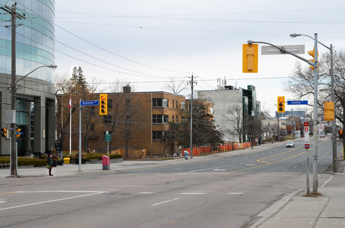
After Glencairn crosses over the Allen Expressway, it continues east all the way to Yonge Street.

bus stop and shelter on Don Mills Road at Wynford, Crosstown construction and high rises in the background

I’ve been keeping an eye on the old IBM building at the corner of Don Mills and Eglinton. It was built in 1951 as IBM’s Canadian manufacturing plant and head office.

It’s been empty for a long time but recently work has begun on the site.

east side of old IBM building at Don Mills and Eglinton, low rise yellow brick, horizontal windows, empty and ready for demolition

The IBM complex sits on 60 acres and the whole site will be redeveloped in the coming months.  The white tower in the background is also on the site, right beside the CPR tracks that mark the northern boundary.

piles of metal from demolition of building

below: A Canada goose struts near one of the entrances to the old IBM building that is being demolished.

solitary Canada goose walking on the grass beside the parking lot for old IBM building, demolition of one of the entrances in the background

an entrance to the IBM building on Don Mills Road being demolished

below: 1954

an old black and white photo of the IBM building on Don Mills Road in 1954

photo credit – taken from ‘Urban Toronto’ online article about this development

below: Apparently the plan is to build a mix of residential and commercial buildings on the site ranging from 3 to 44 storeys.  A new community centre and park are also included in the planned Crosstown Community.

corner of Don Mills and Eglinton during Crosstown construction, IBM building in the background

In terms of construction and development, this intersection is very busy as it is also the location of the future Science Centre LRT station.  It has been a mess for so long that I can’t remember how long it’s been.  There are  signs of progress starting to emerge from the chaos so perhaps there is hope for a 2021 opening of the Crosstown LRT.

below: The new bus bays on the northeast corner are starting to take shape.

west end of the new bus bays at Eglinton and Don Mills, under construction, glass walls and roof

below: More of the NE corner.

vacant lot on Eglinton Ave by Great Canadian Superstore at Don Mills, edge of Crosstown construction site

concrete barriers being stored on a vacant lot, one ornage and white cone too

below: Looking across Eglinton towards the Mormon church and other buildings on the south east corner.

construction on Eglinton at Don Mills, Mormon church in the picture - Church of Latter Day Saints

below: A sign of the times.  Covid-19 dos and don’ts.

signs re covid-19 on a green fence around a construction site

below: New tracks being laid where the LRT comes back to the surface east of Don Mills Road (looking east towards the DVP).  The Science Centre station is underground even though the tracks on both the east and west side are above ground.

construction of the Crosstown l r t, tracks being laid on the above ground portion of the line, near Eglinton.

below: From the NE corner (black building is/was the Ontario Federation of Labour) looking south.  All buildings are on the east side of Don Mills Road.

from the northeast corner of Don Mills and Eglinton looking to the south east corner, Foresters building, another older office building and two newer condos.

below: A sidewalk, temporary, lined with cones, along Eglinton.

line of orange and black traffic cones on both sides of the sidewalk along Eglinton through Crosstown construction zone

There are other buildings being torn down.  The building in the background is 1200 Eglinton Ave East.  It was an office building with a parking structure beside it.   This is the view from Wynford Drive.

two concrete buildings from the 1970s or 1980s, one behind has started to be demolished, a parking lot and large tree between the buildings

The same building a few days later when I went back to check on the demolition’s progress.  The parking structure is now just piles of rubble and more of the exterior walls of the other building are gone.

green machery demolishing a parking structure that is now just piles of rubble, beside another building that is partially demolished

lower levels of a building that has been partially demolished, all the exterior walls have been removed, leaving just the interior walls

below: The large, almost empty, parking lot behind the Bell building on Wynford.

large yellow arrow painted on the surface of a large parking lot, only a few cars

below: With a few exceptions, most of the buildings around Wynford are products of the 1960s and 1970s.

three storey white concrete building with the width of the floors increasing as you go upwards

low one storey building with two large windows with blinds closed, no cars in parking lot

two trees in front of a concrete building with lots of narrow vertical windows

a red brick one storey light industrial building

below: Another empty parking lot.  This picture was taken on a Saturday afternoon which might explain the lack of cars but as I drive around the city I see lots of empty parking lots even during the work week.   A sign of the times.

bent metal pipes as a railing, painted in yellow and black, empty parking lot beyond with a couple a buildings in the background

below: Looking across the Don Valley Parkway

tree silhouette (no leaves) in front of a glass building that is reflecting the blue of the sky

below: CPR tracks behind Wynford.

graffiti, tags, along the concrete embankment beside the CPR tracks, apartment buldings can be seen over the wall

below: Rusty metal spirals, tightly wound, found amongst the gravel along the train tracks.

a pile of rusted spiral pieces of metal formed from drilling into the sides of railway tracks, lying in the gravel beside the tracks

a set of three railway lights at 2042-1 pole, lights are arranged vertically, one on top of the other

edge of parking lot that it empty, with railway tracks behind, a wall with graffiti, and an apartment building in the background

below: Looking east along the tracks just before they cross the DVP.   If you follow the tracks, they lead you to the CPR marshaling yard at McCowan and Sheppard.   So, that’s where I went next…. (scroll down!)

a lone chair sitting in the grass beside the railway tracks, shrubs behind the chair, early spring, no leaves on the shrubs

along the railway tracks, shrubs, and an old wood utility pole with glass knobs

It’s easy to view railway tracks from bridges, in this case from a bridge on Finch Avenue East between Markham Road and McCowan.  The is CPR Toronto Yard.

seen from a bridge, two bright red CPR train engines on tracks, beside the watch tower

It is a marshaling yard, also known as a classification yard, which is where railway cars are separated onto one of several tracks and joined with other cars with the same destination.

boxcars and tankers waiting on tracks at the CPR yard

Sitting on over 400 acres, CPR’s yard in Scarborough is one of the largest in Canada.  There are 311 switches and about 140km of track on which freight cars are shunted between tracks.   The site was opened in 1964.

across the tracks, lots of red CPR engines, with skyline behind

seen from a bridge, a train passes below, engine, flatbed cars, a tanker, and a boxcar

…but getting to track level can be more of a challenge.

below: It sometimes involves getting lost and having a chat with a security guard or two (but not until after you have a few good wall & shadow pictures)

a security guard walks down a road between two white metal buildings

below:  In other places, access is simple.

a small dead pine tree in front of a large puddle in a parking lot, a line of red boxcars behind it

a man in a safety vest stands beside two boxcars, one yellow and the other orange,

three tanks on towers above train cars at CPR yard

below: I’ve never thought too much about graffiti on trains until today – How many miles has this little guy traveled?  Where did he come from and who painted him when?  How many people have seen him as he shuttles back and forth across the country (or perhaps farther than that?)?

the graffiti on the side of a red boxcar

below: Looking right back at you!

graffiti on the side of a train car - painted pale blue with two big eyes that seem to be looking at the viewer

reddich colour boxcar with pink and blue blobs, graffiti

below: A westbound train leaves the yard at McCowan Road.

two bright red CPR engines at the front of a train, black tanker cars behind, as it crosses over the bridge at the entrance to the CPR railway yard

below: Back in 1964 the community of Browns Corners was at the corner of Finch Avenue East and Markham Road(not to be confused with the other Browns Corners on Woodbine Ave and Hwy 7).   There are no more traces of the community or the farms that surrounded it.

trucks parked beside a long low grey building, in the distance. in front is a vacant lot

I only walked around part of the yard and I didn`t take very many pictures of the buildings that are there – seniors residence, medical clinic, a few offices, etc.

pattison billboard beside a street, on a vacant piece of land
a bus shelter on the side of a street, with vacant land behind and a large billboard advertising a radio station

the backs of trucks parked by a vacant lot

I would like to end this blog post with one building that I saw that was different.

below: The Sri Sathya Sai Baba Centre is nearby.  I think that I have it right – the Sathya Sai Organization is not a religion but a “universal approach to life” whose teacher and spiritual leader is Sathya Sai Baba.   Each of the five petals in the flower contain a word or phrase: truth, right conduct, peace, non violence, and love.


Sri Sathya Sai Baba centre

below: There was a column-like structure near the door topped with a large lotus flower.  The base was square and on each were printed words.  “Offer all bitterness in the sacred Fire and emerge grand, great and Godly.”

part of the base of a column with words that say offer all bitterness in the sacred fire and emerge grand, great and godly

below: “Remember the wheel of Cause and Consequence of Deed and Destiny and the Wheel of Dharma that rights them all”.  I assume that the other two sides also had inscriptions but I couldn’t see them because of a fence with a locked gate.

part of the base of a column with words that say remember the wheel of cause and consequence of deed and destiny and the wheel of dharma that rights them all

Back on McCowan and back home… (still no TTC in my life)

a row of cars for sale, seen from the back

Work continues on the Port Lands redevelopment with more buildings being demolished to make way for the new mouth of the Don River.

view of portlands includingLafarge silos, gas tanks, and construction

below: Cherry Street bridge

Cherry street bridge over the Keating Channel, green metal bridge

below: Don Roadway looking north.  The southern part is now closed (south of Lakeshore Blvd)

a pile of tree trunks, recently cut down, on a road that is now closed

looking north on the closed portion of the Don Roadway, lumber pile in middle of road, large metal hydro poles,

below: Villiers Street at the Don Roadway.  A couple of old buildings remain on Villiers but many structures between Villiers and the Keating Channel are now gone, especially at the east end of the channel near the present mouth of the Don River.

Villiers street at Don Roadway, two school buses parked here, Gardiner Expressway in the background

below: Commissioners Street, looking east.  Everything in that block, on the south side, has been levelled – the blue and white building is on the other side of the Don Roadway.

Commissioners street in port lands, with road closed sign

a glass bus shelter behind a construction fence

below: The west end of Commissioners street

Commissioners street in the port lands, road closed, yield sign on road yield to oncoming traffic, black and orange traffic cones, a plywood booth for security guard to sit in,

below: Commissioners Street, north side

construction, signs on a wood pole, Toronto skyline in the background

TTC bus stop for route 72 on Commissioners street but pole is now in the middle of a construction site, lots of dirt, orange and black traffic cones, Gardiner Expressway in the background

below: T’nT grocery store is now closed.  The red sign by the door advertises Chinese New Year specials.

back of a large laker boat parked beside an empty parking lot

below: The same boat, the NACC Argonaut, but from the south, from Polson Street.    NACC = Nova Algoma Cement Carriers.  She was built in Japan in 2003 and converted into a cement carrier in 2017.  The next year she entered service on the Great Lakes.

ship parked in channel, beside an empty parking lot with a small booth for attendant of parking lot

below: As you can see more clearly here, the Argonaut was actually parked beside the Lafarge facility.  T’nT is behind the Lafarge Cement round towers (building on the left).

large empty parking lot in the foregraound, largare cement facitily in the background, with a large laker docked beside it

large laker ship docked beside Lafarge cement

below: Shipping Channel

two boats parked in the shipping channel, one is the white and yellow Iroquois

boats parked in the shipping channel

shipping channel, port lands

below: There are quite a few old railway crossing signs in the Port Lands for tracks that have been torn up or long unused. I am surprised that no one has stolen them.

old car parked beside an old railway crossing sign, for a railway track that is no longer there

below: Boats of a different kind –    RCYC (Royal Canadian Yacht Club) on Cherry Street.

a line of large sail boats in storage, on land, covered with tarps, masts in the air, no sails,

below: Cherry Beach

a woman walking her dog beside a forest, on a beach

No construction affects the beach but these days, people are keeping their distance. Since taking these pictures the beach may have been closed, I’m not sure. The parking lot will be closed for sure.

cherry beach with not many people and cherry lifeguard station

below: Unwin Street, looking east towards the old Hearn Generating Station

unwin street in port lands

hearn generating station from the west side

part of Hearn generating plant, upper level with watch tower

below: Another Port Lands view from above.  North of the Gardiner is the construction site for the rebuilding of the Gardiner.  To the south is the Port Lands with the tall smokestack/chimney of the Hearn.   The white building with the two chimneys on the far left is the Portlands Energy Centre, a natural gas powered electricity generating station.

view of port lands and gardiner expressway from above including hearn generating station

below: The entry to the Portlands Energy Centre which is the property of Hydro One.

closed and locked gate with warning signs on it

a concrete road barrier with blue spray paint words that say have a good day

Staying on the side of caution, I haven’t been on the TTC for almost two weeks.  Instead, I have been using this time to venture into areas where it’s easier to drive to including some parts of the city where I rarely (if ever) go.   This is the story of yesterday’s adventure.

below: Two old rusty acorn-style street signs.

street signs, 2 old acorn signs, for Maclennan Ave and Rosedale Heights Drive, rusty

concrete wall between hillside and sidewalk, houses and trees above, street below

a man jogging past concrete wall and elementary school, at bottom of ramp to pedestrian bridge, street lamp above the ramp

below: On the concrete embankment below the elementary school is a very faded mural.

on an old faded mural of white flowers, someone has written in blue, love is love, and also a purple heart has been drawn

below: I doubt this car was a new model the year this mural was painted…. maybe? LOL

old faded mural of a small white car

sidewalk splits, half goes to ramp up to a pedestrian bridge over the railway tracks and half follows the road that curves and goes under the bridge beside the tracks, blue railing

below: Two together, locked beside each other.  Below are the CPR tracks, the same ones that run through the middle of the city from West Toronto, past the Junction and through to the railway yards at McCowan Road in Scarborough.

2 combination locks locked on a chainlink fence on a railway bridge

below: A small sliver of land between the tracks and the street, just big enough for a narrow house.

view from pedestrian railway bridge, Summerhill Ave., with houses, tracks, street, and trees, early spring

very narrow brick house has been gutted and has no windows

houses and yards as seen from a railway bridge

below: Magnolia buds in a front yard.

magnolia buds on a tree in a front yard

below: A very old pine tree in Chorley Park

large old pine tree in chorley park

below: Chorley Park was once the site of the official residence of the Lieutenant-Governor.

large houses in the background, park with large mature trees in the foreground, Chorley Park in Rosedale

below:  It was built in 1915 and was modelled on various chateaux of the Loire Valley in France.  In 1937 it was closed down for financial reasons – during the Great Depression of the 1930s,  the annual costs of heating and electricity were the subject of political debate.   The federal government bought it, using it first as a military hospital and then as RCMP headquarters.  In 1960 the city of Toronto purchased the property, tore down the building, and developed the site as a park.

old black and white picture of a mansion, Chorley Park, stone, long curving driveway, three storeys, many chimneys,

below: From Chorley Park there is a path that winds down the hill to part of the Beltline Trail and the Brick Works park beyond that.

winding path down the hill from Chorley Park to the Beltline trail and Brick works park

below: Part of the path down the hill is being rebuilt.

orange plastic fencing around site where a new path and trail are being made down the side of a hill with lots of trees, early spring, no leaves

Mud Creek as it enters the brick works park and widens to a pond

below: Mud Creek.  It was about here that the word ‘dun’ popped into my head; that was definitely the word of the day…  dull greyish brown colour.   Mud creek, dun views.

old rock wall along the banks of Mud Creek, trees, path,

below: Maybe dun but that doesn’t mean uninteresting.  It won’t be long until there are leaves and then lots gets hidden and houses like this get more of their privacy back!  I’ll gladly stare while I can 🙂  I wonder if anyone uses those stairs?

the back of a house under construction, at the top of a hill on a ravine, trees and dead leaves on the ground, early spring,

below:  Governors Bridge passes over the trail that I share with very few people and about as many dogs as people.

Governors Bridge, where Governors Road passes over the Beltline trail, early spring, no leaves on trees, one person jogging on the trail, path,

below: The street art on the concrete pillars of the bridge look fairly fresh.

part of a bridge, concrete supports with street art on them, a culvert where the creek comes back to the surface, creek, ravine, no leaves on the trees,

Quick diversion to the top of the bridge!

below:  The bridge itself is very plain and the best part of being on it is the view. You can see (barely!) the red brick chimney of Todmorden Mills just below the two taller buildings on the left. That places those buildings at Broadview and Pottery/Mortimer which means that this view is more to the west than to the south.

below: Straight down to the path below. I shot this one blind and was pleasantly surprised to see a bright hat add a bit of life.

2 people walking on path through trees, taken from a bridge high above them

And back down again (you can pretend that I jumped off the bridge)

below: Just a bit farther north the trail passes under the railway tracks.   You might recognize this as a railway bridge as all the Toronto railway bridges over ravines were built in a similar style (and probably all about the same time).

path under a railway bridge, very high, a man walking his dog on the path, lined with trees with no leaves because its early spring

below: The last bridge on the Beltline before it reaches Mt Pleasant cemetery is this one, Cat’s Eye bridge.

below: Unfortunately, that’s where you have to leave the trail for the time being as the path is being refurbished all the way to Moore Ave.

construction, re-doing of path along the Mud Creek

below: The Moore Avenue entrance is blocked for construction – Mud Creek Restoration Project Reach 6,  completion date, summer 2020.

Beltline trail at Moore Ave., blocked by fence because of construction, no entry signs,

And so we leave the path there and make our way back through the neighbourhood to find my car.

three older houses on a street, the one in the middle has been gutted to the other walls, side only, open roof, new beams beinginstalled for a third storey

older houses, three, the one n the middle is white with blue trim and two large trees growing right in front of it

below: Someone wrote this on the pavement on the Cat’s Eye bridge.  I hope they’re wrong!

written in white chalk on greyasphalt are the words no future

Scarborough Bluffs Park on sunny but windy Sunday afternoon in March.

Scarborough bluffs, cliff by Lake Ontario

The red twig dogwood is looking redder and the trees are barely starting to bud.

a couple walking together on a path at park, with tall grasses and leafless bushes beside

signs in a park, Scarborough bluffs, that say danger unstable soils and naturalized area do not disturb

2 teenagers climbing a cliff face at Scarborough bluffs

a few people standing on a path in a park with cliffs behind them

Scarborough bluffs, cliff by Lake Ontario

The water and air are still cold enough that icicles form on the overhanging branches that get hit by waves.

a woman with black hair and weraing a blue winter coat is taking picture of icicles with her phone, waves crashing against the rocks along the shore below the tree with the icicles

icicles on a branch that overhangs Lake Ontario

a woman with black hair and wearing a blue winter coat is taking picture of icicles with her phone

men in the water with wet suits on as they try to surf in Lake Ontario

a woman in a white parka is watching men surf in rough waters and high waves of Lake Ontario

two women in winter clothes sitting on a blanket on rocks by the lake, one is pointing at something

shoreline of Lake Ontario, rocks and trees, early spring, no leaves,

Another walking day, another part of the city to explore.  Sometimes I find new places to wander around but the other day I went back to Sheppard Ave East to see what other changes are happening.   This is a section of Sheppard Ave that is living in the shadow of Yonge Street developments.  It’s an area of mixed residential and commercial.

below: Sheppard Ave East looking west towards Yonge Street from Willowdale Ave.

Sheppard Ave East looking west from Willowdale Ave towards Yonge street

below: A smaller bungalow, and architectural “style” that was common along here.

old white bungalow with side fireplace and chimney wall, exterior

below: Some of the bungalows are being replaced by much larger houses, especially in the side streets behind Sheppard.

large new house being built in Willowdale, on Maplehurst Ave., in place of a small bungalow like the house beside it

below: More signs of  the times, no kids playing outside in the playgrounds of the schools and day care centres.

black fence around playground with some toys but no kids

below: A CTR rabbit trying to run away.

a painting on a metal street box, of a rabbit running, by c r a

below: This front door with it’s clean and ornate door frame has always fascinated me.

white door on small porch with black railing. door has fancy white trim with details on top

below: 176 Sheppard Avenue East has been empty for a while.   I found information about the development here on different websites.  One of the sites stated that the new building would be ready to move into in 2019.

front door of abandoned building at 176 Sheppard Ave East with collection of garbage on overgrown front step

below: A vacant lot

orange cone o n its side in front of a vacant lot

below: This is the same vacant lot as there was nothing to prevent me from wandering in.

vacant lot

below: The front of Dudley Court at 166 Sheppard Ave East.   I have driven past here a few times this year and I keep thinking that I should check it out before it disappears.  The orange “tree protection” fence was a more recent addition. Maybe part of the reason why there is no development proposal sign here is that it’s been about 20 years since the owners started “negotiating” with the city about what was going to be built here.

front of Dudley Court from across the street, a 1960s brick three storey apartment building, overgrown pine trees in front, also construction fence

closer look at closed and boarded up front doors of Dudley Court

below: The back of Dudley Court from the vacant lot mentioned above.

behind 166 Sheppard Ave East, row of empty garages, with new glass building behind as well as apartments from the 1980s and 1990s

metal wire fence around an empty parking lot and row of garages with broken brown doors

below: What surprised me is that there are actually 3 apartment buildings that are empty.  The plywood is there to protect the trees that are between the apartments and a ditch.  The “ditch” continues underground under Sheppard and then south through a small park towards the 401.

plywood fence around trees to protect them from construction and demolition, on walkway beside 166 Sheppard Ave East

below: There is a pedestrian walkway on the west side that continues north a couple of blocks.

old ready for demolition with newer glass buildings in the background building

below: Sheppard Ave looking east

Sheppard Ave East looking east from Kenneth & Leona streets

below: Sheppard Ave looking west.  An evolution of sorts… at first there were small houses that became offices; now they are being torn down.

Sheppard Ave East looking west towards Yonge street from Kenneth and Leona streets

below: Some of the mid-sized buildings that were developed in the 1970s and 1980s are also “moving upward”.  In this case, to 11 storeys with 55 residential units and lower floor retail.  It is currently home to medical offices.

development notice on the front yard of a commercial (office) building from the 1970s

below: Once upon a time this was a Pizza Pizza.  Then it was for sale.  Next, it provided headquarters for an election campaign.  And now?  Possibly in limbo?  All that I could find is a 2017 rejection from the city for a 10 storey development on this lot and the one adjacent (where The Beer Store is now).   The official plan calls for lower buildings as you move away from Yonge Street.  In the meantime you can call it an eyesore.

parking lot, empty, and painted over pizza pizza sign in front of empty building

below: But not everything is ugly!

a street box painted with a red bird and an orange bird in green bushes, Tim Hortons behind as well as street scene at Willowdale and Sheppard Ave East

***

a row of single family houses on a street, large tree, cars in driveways, behind are 3 or 4 large twll condo buildings

a small white bungalow with a single car garage with a black garage door, awning over the front door, tall tree in front yard, black roof

yellowish colour bungalow with black front door, a window on either side of two, 2 dormer windows in roof, a red single car garage door,

Another blog post constructed from the wanderings around a neighbourhood.

below: A bronze plaque erected by the East York Historical Society is mounted on the stone fence of the Taylor Cemetery which is adjacent to Don Mills United Church.    The plaque mentions the Methodist Church – the Methodists became part of the United Church in 1925.

bronze plaque on a stone wall, Taylor cemetery, erected by the East York historical society gives rough outline of the history of the Taylor family here

The Taylor Cemetery – John Taylor (1773-1868), his wife Margaret Hawthorne and seven children emigrated from Uttoxeter Staffordshire in 1821. In 1839, three sons, John, Thomas, and George, purchased this land from Samuel Sinclair (1767-1852) except for a portion Sinclair gave to the Primitive Methodist Connexion in 1851. The Taylors gave the Connexion a brick church in 1859. The family operated three paper mills and a brick mill in the Don Valley, where they had considerable landholdings and were responsible for much of the development of East York in the nineteenth century.

.

below: The present church building dates from 1950 when a smaller building was demolished.  This church was registered in 1819 and has been on this site since 1839 (as mentioned above, originally Methodist).

brick Don Mills United Church with bright red doors

below: Close by is Holy Cross Roman Catholic Church.  Established in 1928, it was the first Catholic parish in the Township of East York.  This church, built in 1948, is the second one on the site.     

Holy Cross Church

below: Bethany Baptist Church has been on the corner of Pape and Cosburn since 1920.  Obviously this building is not that old!  This is the addition, built in 1958, to the older church that you can just see on the right side of the picture.

brick building with stained glass in blue and green in the center section, sign on front says Bethany Baptist Church

below: A metal sculpture of a soldier mounted on the wall of The Royal Canadian Legion, hall #10, a memorial to the Soliders of Suicide – those soldiers who have taken their own lives, usually as the result of PTSD.

a metal statue of a soldier, at rest, mounted on a brick wall, as memorial to soldiers who committed suicide

below: The southeast corner of Pape and O’Connor still sits empty. There used to be a gas station here and that probably meant contaminated soil that had to be dealt with.   The development proposal sign dates from 2014  and was for a 2 storey commercial building.  I am not sure why the delay or what the status of the proposal is.

vacant lot on the corner of O'Connor and Pape, with fence around it, development proposal sign from 2014, overgrown,

below: Donlands Convenience with its rounded corner is similar to a few others in the city.

Donlands convenience store, a 2 storey brick building on the corner of an intersection, with a rounded wall

stores on Donlands Ave as well as a studio with a large blue store front

two people waiting on the corner for a green light

below: Do not block the entrance. …. or are the apples for the teachers?

4 bushel baskets of apples in a doorway of the Korjus Mathematics Tutorial Services

below: A sample of some of the restaurants in the area.  There are also quite a few Greek restaurants as the Danforth (and the original Greektown) is just to the south.

3 restaurants on a street, an Indian Paan and snack plce, an Africa Indian restaurant called Simba, and a fish and chip restaurant

independent gas station and service center at Floyd street

a man fills a car tank with gas at an independent gas station, sign says price of a litre of gas is 99.9 cents

below: Golden Pizza Restaurant in an old brick building with a square facade at the roofline.

the golden pizza restaurant on Broadview, old 2 storey brick building with square roofline facade

below: Another square roofline, Logan Convenience

Logan convenience store, 2 storey red brick building, on a corner, with no other building next to it

Like most parts of the city, the houses are of various architectural styles.

houses Torrens

Whether I am correct or not, I don’t know but I have always associated East York with small post-war bungalows.

a well kept yellow brick post war bungalow with a grey roof and a partial white and green metal awning over the front steps that lead to a small porch

white bungalow with Christmas wreath on brown wood front door and a santa claus decoration on the front steps, a yellow fire hydrant by the sidewalk

A few are being “renovated”

construction of a new 2 storey house in between two square bungalows

below: What was surprising to me was how many multi-family buildings there are in the area –  Both lowrise…

front entrance, exterior, of a yellow brick lowrise apartment building from the 1960s or 1970s

4 storey apartment building, brick, on a corner

and apartment buildings

4 high rise apartment buildings in East York. winter time, trees with no leaves, blue sky,

curved white concrete cover over entrance of apartment building, that is brown brick with white balconies

two brick houses in front of a tall apartment building

lamp and lampost in front of a blank beige wall of an apartment building, with another highrise in the background.

below: I am beginning to think that there should be at least one old car picture in every blog post! I certainly encounter enough of them! Today’s car – a yellow Oldsmobile (from the 1970’s?).  Sounds like a challenge doesn’t it?!

an old yellow Oldsmobile car, with historic licence plate, parked in a driveway in front of an old white garage

This is the 6th annual Winter Stations art installation event at Woodbine Beach.  It was officially opened on Family Day, February17th.

below: Tying yellow ribbons on the yellow metal frame in “Mirage”, designed by Cristina Vega and Pablo Losa Fontangordo.  The orange frame is parallel to the lake and the yellow sections are perpendicular.    Depending on where you are standing, you see either a red transparent sun setting or a light and bright rising sun laying on the horizon.

5 people working, two up on ladders, Lake Ontario in the background, tying yellow ribbons on an orange metal frame, finishing touches on an art installation called Mirage

tying yellow ribbons on an orange metal frame, finishing touches on an art installation called Mirage

below: “The Beach’s Percussion Ensemble” by Centennial College while under construction.

woman holding a shovel, on beach, by some yellow and pink boxes, installing a public art display at Woodbine Beach

below: The end product.  There is now graffiti on the boxes

tagged and graffiti covered pink and yellow boxes stacked on the beach, art installation by Centennial College students.

below: and cowbells hung from the underside of boxes in a couple of places.

smal cowbells hang from the underside of a yellow box that is stacked on top of two other boxes, one yellow and one pink

below: “Kaleido­scope of the Senses” is a strong piece designed by Charlie Sutherland of SUHUHA (An architecture studio in Edinburgh).  People were lining up to take turns sitting on the lifegusard chair.

people lined up to take a look inside a portion of art installation at Woodbine Beach

a father lifts up a young boy in a red winter coat so he can sit inside an art installation over a lifeguard station at the beach

below: “Noodle Feed” by iheartblob was very popular on the Sunday before Family Day (the official opening of ‘Winter Stations’).   It wasn’t designed to have a jumping feature but that’s what all the kids were doing that day.  The fabric tubes are filled with straw.

a girl jumping off a lifeguard station onto rolls of fabric stuffed with straw, on the beach

below: When I returned to the beach a few days later, the installation was gone.

a metal frame lifeguard station, raised seat, with a red board against the back and a sign on the front that says do not jump off lifeguard chair

blue pole with two small signs, both with snow on them, the top sign just has the number 3 on it. the other sign has its back to the camera so it can't be read

Information about the installations can be found at winterstations.com

This is another “walk about” post; in fact, it is the product of two nearly identical walks a few months apart.

below: Standing at the corner of King and Spadina while TTC workmen clear the streetcar tracks of excess dirt and sand.

two young women standing on the corner of King & Spadina

below: Looking east along King Street.  The LCBO on the corner is now closed.

looking eastward along King St from Spadina, high rises, billboard, traffic, city,

below: Spadina, south of King.

construction on Spadina south of King, beside the red and white Petro Canada gas station

below: Looking through a parking lot on Wellington.

backs of buildings as seen through a parking lot on Wellington street

below: Looking south on Draper Street

looking south on Draper street to condos south of the tracks

below: The CN Tower from Draper Street

the CN tower as seen through a vacant lot on Draper street

below: Construction continues on the old Globe and Mail site south of Wellington and north of Front.

construction on the site of the old Globe and Mail building between Wellington and Front

below: A pink pig still celebrating Valentines Day.

a pink plastic pig on a porch, wearing heart shaped sunglasses and a necklace of heart shapes

below: Looking east along the tracks from Portland Street.  In November when I walked here, there were many movie trucks parked along Front Street.

looking east along the north side of the railway tracks from Portland Street towards downtown, cranes and construction site, high rises

below: The new condos on the north side of Front Street that face the railway tracks.

a line of glass and concrete condos on Front street that face the railway tracks, cars and trucks at construction site beside the tracks, below street level

pasteup graffiti on a yellow post, faces with eyes collage, by jeremy lynch

below: Crossing the Puente de Luz, Toronto’s yellow pedestrian bridge over the railway tracks.

three people crossing the puente de luz, the yellow pedestrian bridge that crosses the railway tracks

three people crossing the puente de luz, the yellow pedestrian bridge that crosses the railway tracks

looking eastward to the puente de luz bridge and the city skyline beyond, railway tracks, cranes, new buildings,

below: On the south side of the railway – the green building is the Library District condo.

fish eye lens view of side of green library condo building and the other across the street, Queens Wharf Rd

below: Bathurst Street at Fort York Blvd., with the overhang from the library which is on that corner.

overhang from the library roof, Bathurst street, south of tracks, condos, street,

below: Bathurst streetcar southbound.

TTC streetcar passes over Bathurst street bridge over the railway tracks, new condos in the background, crane

below: The grassy green mound that separates Fort York from the city…. with the city creeping up behind it.

edge of the grounds of fort york, green grass on hill, with new high risse condos in the distance

below: Orange bars across the eyes, graffiti

graffiti, three black and white photos of faces with orange streak painted through their eyes, pasteups on concrete

below: The Bentway, under the Gardiner Expressway (a previous post on the Bentway)

the bentway, the new development and park under the gardiner expressway, words on one of the concrete posts that says Welcome to the Bentway a shared space kind of place

Garrison Crossing is actually two stainless steel bridges, both over railway tracks.   Both have spans of close to 50m.  In the middle is a peninsula of land that is in the process of being developed into condos and a park.  Almost 20 years ago there was a proposal to build a bridge here – to be opened in 2012 for the anniversary of the War of 1812.  Mayor Rob Ford was opposed to it (too much money) and the plans were shelved.  A change of mayor (and some help from developers) and a change of plan again.  Construction began in 2016.  It provides a much needed link between the two sides of the railway lands.

below: Southern span – walking north from Fort York

fisheye view of first garrison crossing bridge with new condos in the middle

below: City view from the new park in the middle, train tracks (difficult to see in this picture) on two sides of the triangle.

view from Garrison Crossing, in the middle, CN Tower and Toronto downtown skyline

below: Yellow construction fences still line the edge of the path through the middle section between the bridges.

yellow construction fences line the pathway through the middle of Garrison Crossing as it is not quite finished construction

below: People crossing the northern portion of Garrison Crossing (looking south).

people walking across the Garrison Crossing bridge with high rise condos behind them

below: Looking northwest from the second span of Garrison Crossing towards Strachan Avenue and beyond.

railway tracks north of Garrison crossing looking towards Strachan Ave

below: Garrison Crossing ends at Wellington Street close to Stanley Park

park, green space, baseball diamond with lights, and a row of bright coloured houses behind

a garage door completely covered in paint, street art in red, black and yellow

street art on a garage door including a large pair of white hands

street art on two metal boxes on the sidewalk, one is a zipper opening to reveal a brick wall

below: Found – one city snowplow parking lot, between the railway tracks and Wellington Street (at the end of Walnut Ave).

parking lot for red snowplows, city property, also a dome shaped storage for sand, condos in the background

below: Immediately to the east of the snowplows is the old brick building. It has its own access road from Wellington including a bridge with three arches.   The road is overgrown and blocked by a fence.  There is no sign by the road.

cars in a parking lot with an old boarded up brick building, 2 storeys. The building has a road and 3 arched bridge leading to the upper storey

below: It took some time on google but I finally found the answer to the building above.  Here it is in 1925, the year that it was built – the Wellington Destructor.  It was used until the 1970s when burning garbage was banned; it has been a heritage building since 2005.  I found the photo online on a CBC News webpage where there a great description of the building and its history,  along with some pictures of the interior.

old black and white photo of garbage incinerator built in 1925, Toronto, large brick building

below: And that brings us back to the Bathurst Street bridge over the railway tracks on the south side of Front Street.  Did you know that it’s officially called the Sir Isaac Brock Bridge?  It spent most of its life as the Bathurst Street Bridge until 2007 when it was renamed.

traffic at the intersection of Bathurst and Front. Brown metal bridge for Bathurst over the tracks, CN Tower and new condos in the background

below: It is a steel truss bridge that was built in 1903 (one of the oldest bridges in the city).  It’s first life was a railway bridge over the Humber Bridge but in 1916 it was disassembled, moved to Bathurst, and reassembled.

brown metal bridge, Bathurst street over the railway tracks,

below: Bathurst bridge, 1919, from the west (Lake Ontario is on the right hand side).

vintage black and white photo of railway tracks and bridge over Bathurst street, 1919, from Toronto City Archives

The view from the Municipal Abbatoir Building, looking southeast. The building with the water tower on top is the Matthews Blackwell meat packing company. On the left, you can see part of the cylindrical tower belonging to Consumers Gas Company


below: Someone has given this rusty guy some eyes!  He too is watching out for interesting stories.  He’s also thankful that you made it this far!  At least he can’t roll his eyes!

two large black and white googly eyes have been glued onto a rusty piece of metal on a fence