This is another “walk about” post; in fact, it is the product of two nearly identical walks a few months apart.
below: Standing at the corner of King and Spadina while TTC workmen clear the streetcar tracks of excess dirt and sand.

below: Looking east along King Street. The LCBO on the corner is now closed.

below: Spadina, south of King.

below: Looking through a parking lot on Wellington.
below: Looking south on Draper Street

below: The CN Tower from Draper Street
below: Construction continues on the old Globe and Mail site south of Wellington and north of Front.

below: A pink pig still celebrating Valentines Day.

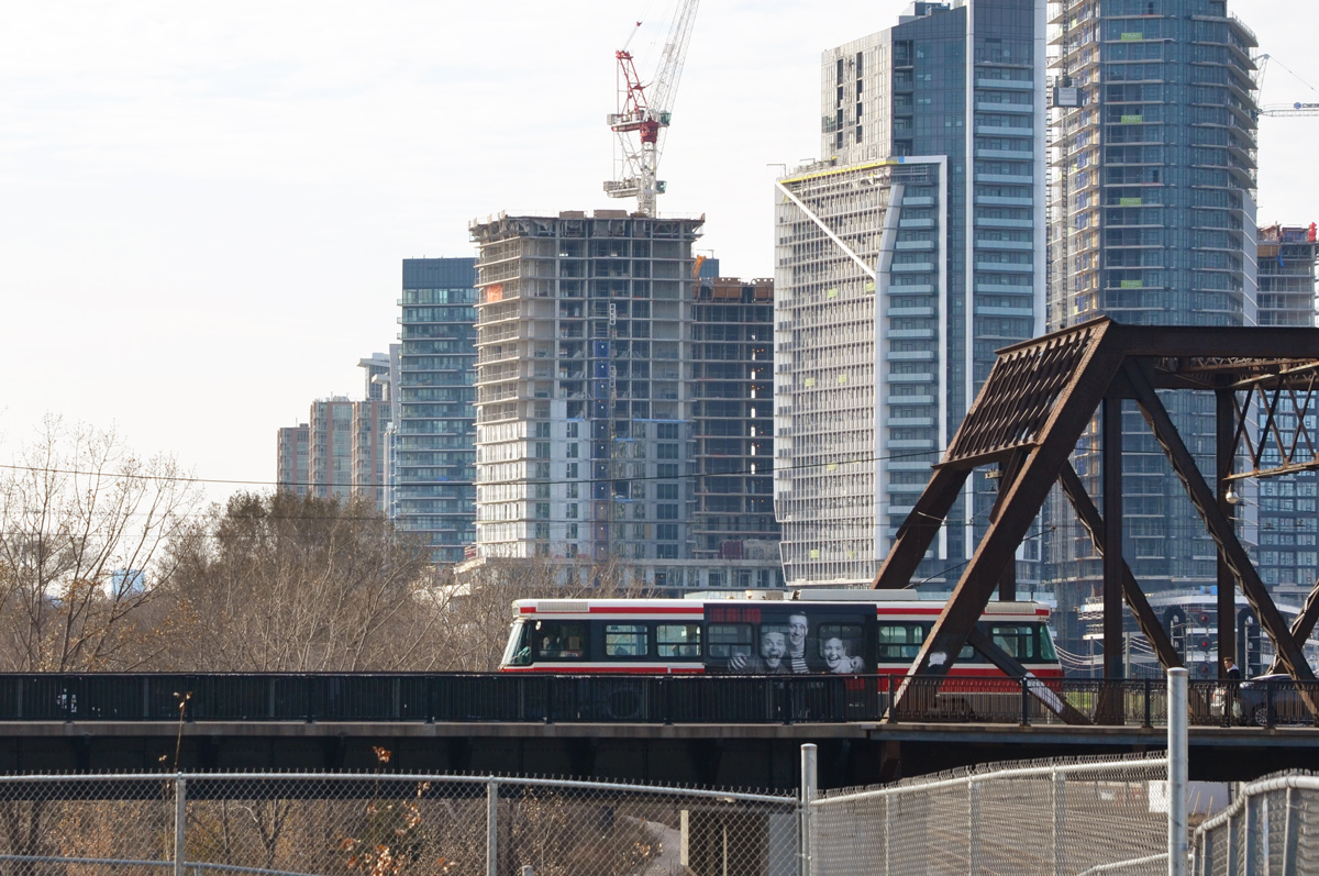
below: Looking east along the tracks from Portland Street. In November when I walked here, there were many movie trucks parked along Front Street.

below: The new condos on the north side of Front Street that face the railway tracks.

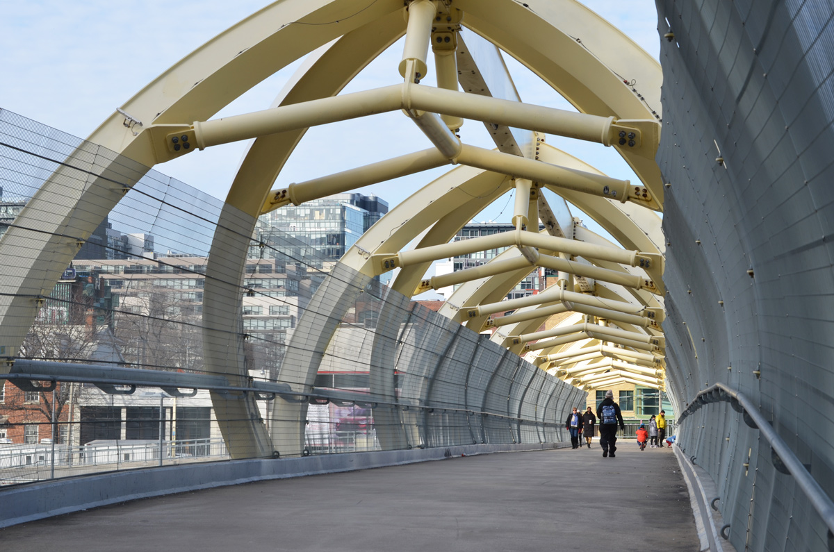
below: Crossing the Puente de Luz, Toronto’s yellow pedestrian bridge over the railway tracks.


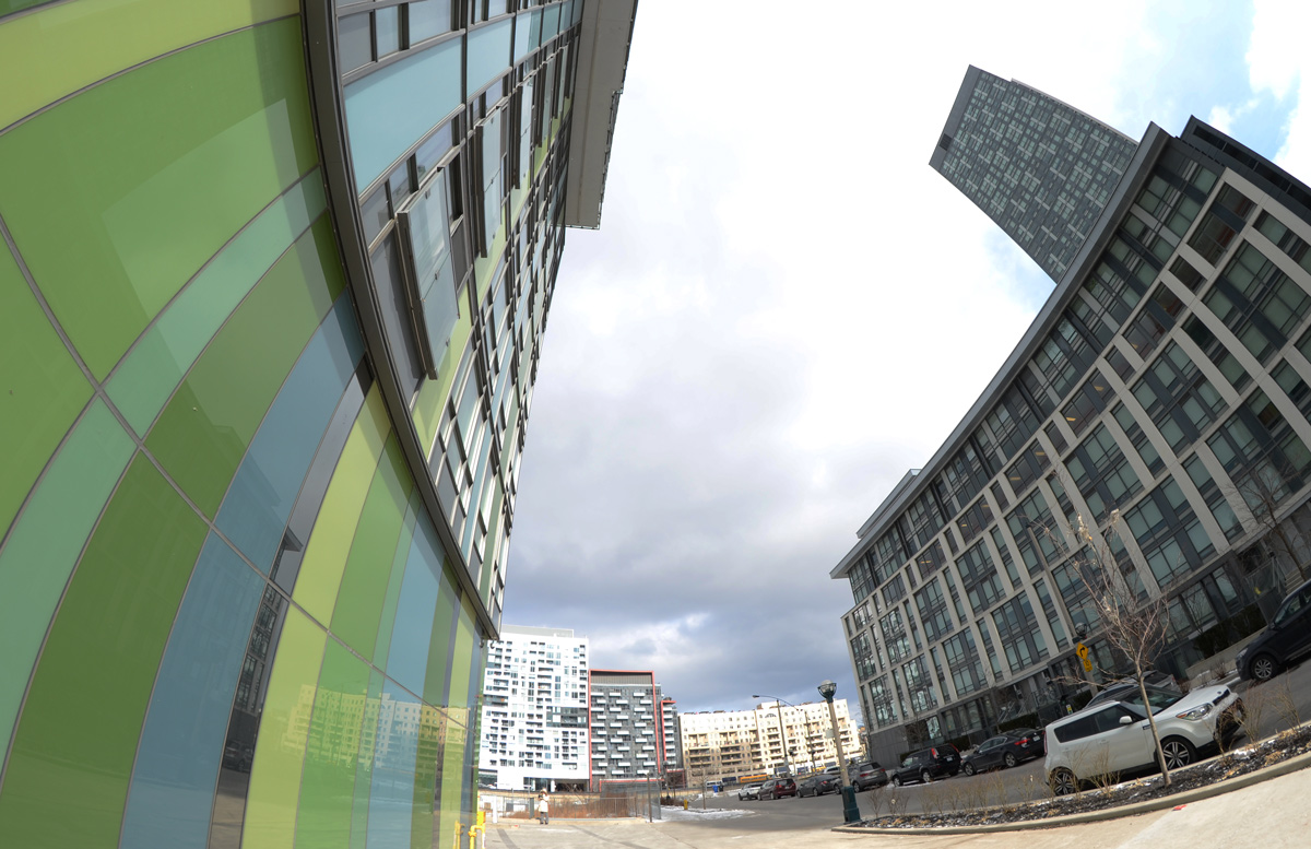
below: On the south side of the railway – the green building is the Library District condo.
below: Bathurst Street at Fort York Blvd., with the overhang from the library which is on that corner.

below: Bathurst streetcar southbound.
below: The grassy green mound that separates Fort York from the city…. with the city creeping up behind it.

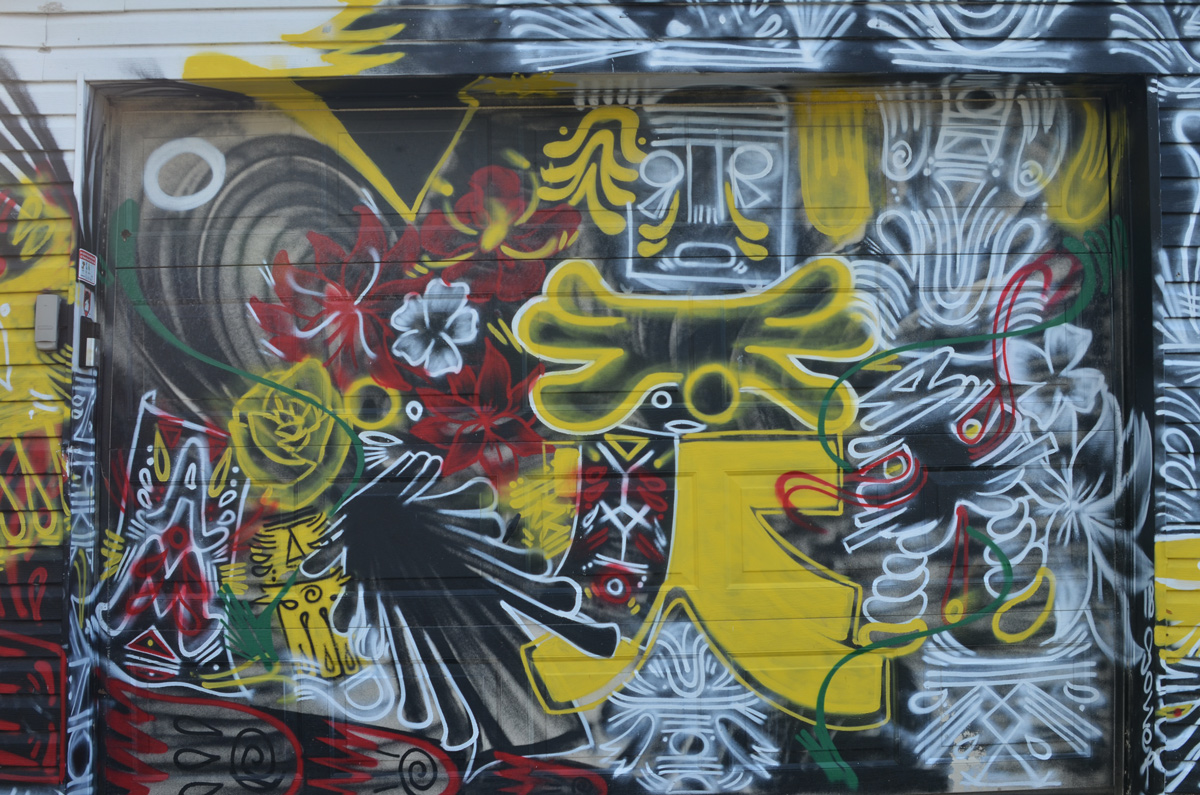
below: Orange bars across the eyes, graffiti

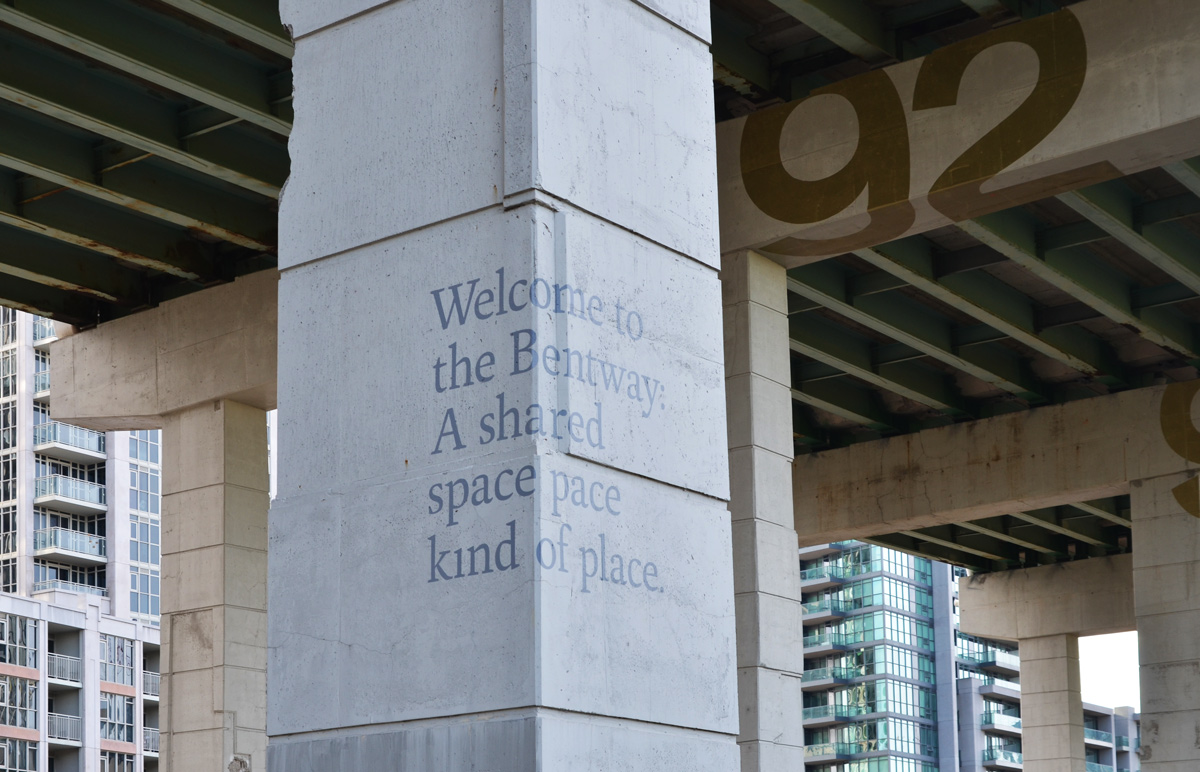
below: The Bentway, under the Gardiner Expressway (a previous post on the Bentway)
Garrison Crossing is actually two stainless steel bridges, both over railway tracks. Both have spans of close to 50m. In the middle is a peninsula of land that is in the process of being developed into condos and a park. Almost 20 years ago there was a proposal to build a bridge here – to be opened in 2012 for the anniversary of the War of 1812. Mayor Rob Ford was opposed to it (too much money) and the plans were shelved. A change of mayor (and some help from developers) and a change of plan again. Construction began in 2016. It provides a much needed link between the two sides of the railway lands.
below: Southern span – walking north from Fort York

below: City view from the new park in the middle, train tracks (difficult to see in this picture) on two sides of the triangle.

below: Yellow construction fences still line the edge of the path through the middle section between the bridges.

below: People crossing the northern portion of Garrison Crossing (looking south).

below: Looking northwest from the second span of Garrison Crossing towards Strachan Avenue and beyond.

below: Garrison Crossing ends at Wellington Street close to Stanley Park


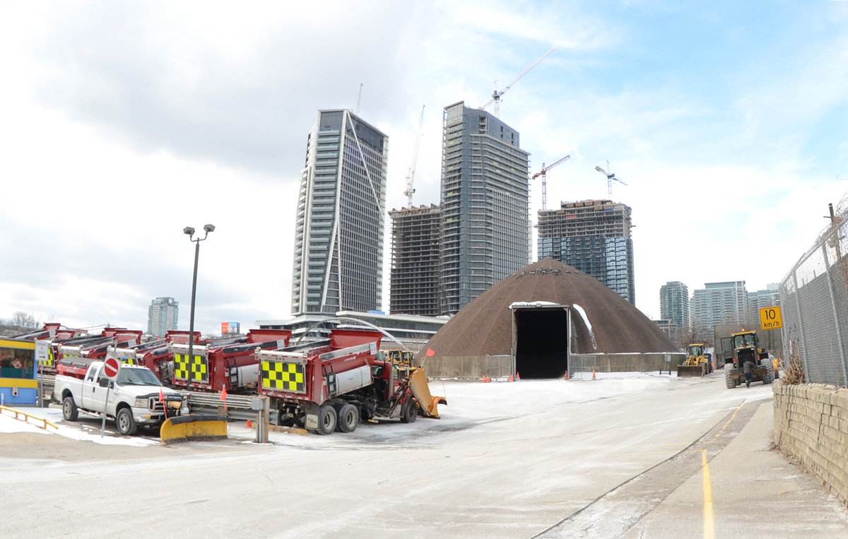
below: Found – one city snowplow parking lot, between the railway tracks and Wellington Street (at the end of Walnut Ave).
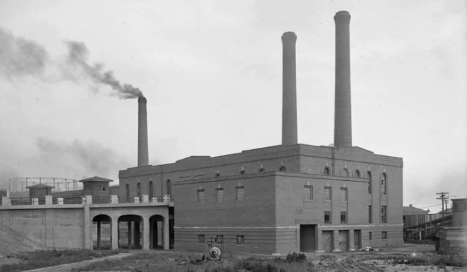
below: Immediately to the east of the snowplows is the old brick building. It has its own access road from Wellington including a bridge with three arches. The road is overgrown and blocked by a fence. There is no sign by the road.

below: It took some time on google but I finally found the answer to the building above. Here it is in 1925, the year that it was built – the Wellington Destructor. It was used until the 1970s when burning garbage was banned; it has been a heritage building since 2005. I found the photo online on a CBC News webpage where there a great description of the building and its history, along with some pictures of the interior.
below: And that brings us back to the Bathurst Street bridge over the railway tracks on the south side of Front Street. Did you know that it’s officially called the Sir Isaac Brock Bridge? It spent most of its life as the Bathurst Street Bridge until 2007 when it was renamed.

below: It is a steel truss bridge that was built in 1903 (one of the oldest bridges in the city). It’s first life was a railway bridge over the Humber Bridge but in 1916 it was disassembled, moved to Bathurst, and reassembled.

below: Bathurst bridge, 1919, from the west (Lake Ontario is on the right hand side).

The view from the Municipal Abbatoir Building, looking southeast. The building with the water tower on top is the Matthews Blackwell meat packing company. On the left, you can see part of the cylindrical tower belonging to Consumers Gas Company
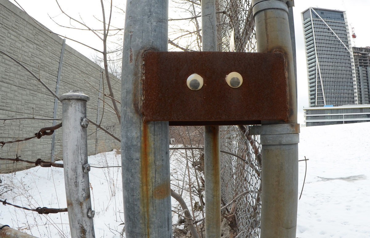
below: Someone has given this rusty guy some eyes! He too is watching out for interesting stories. He’s also thankful that you made it this far! At least he can’t roll his eyes!