Posts Tagged ‘construction’

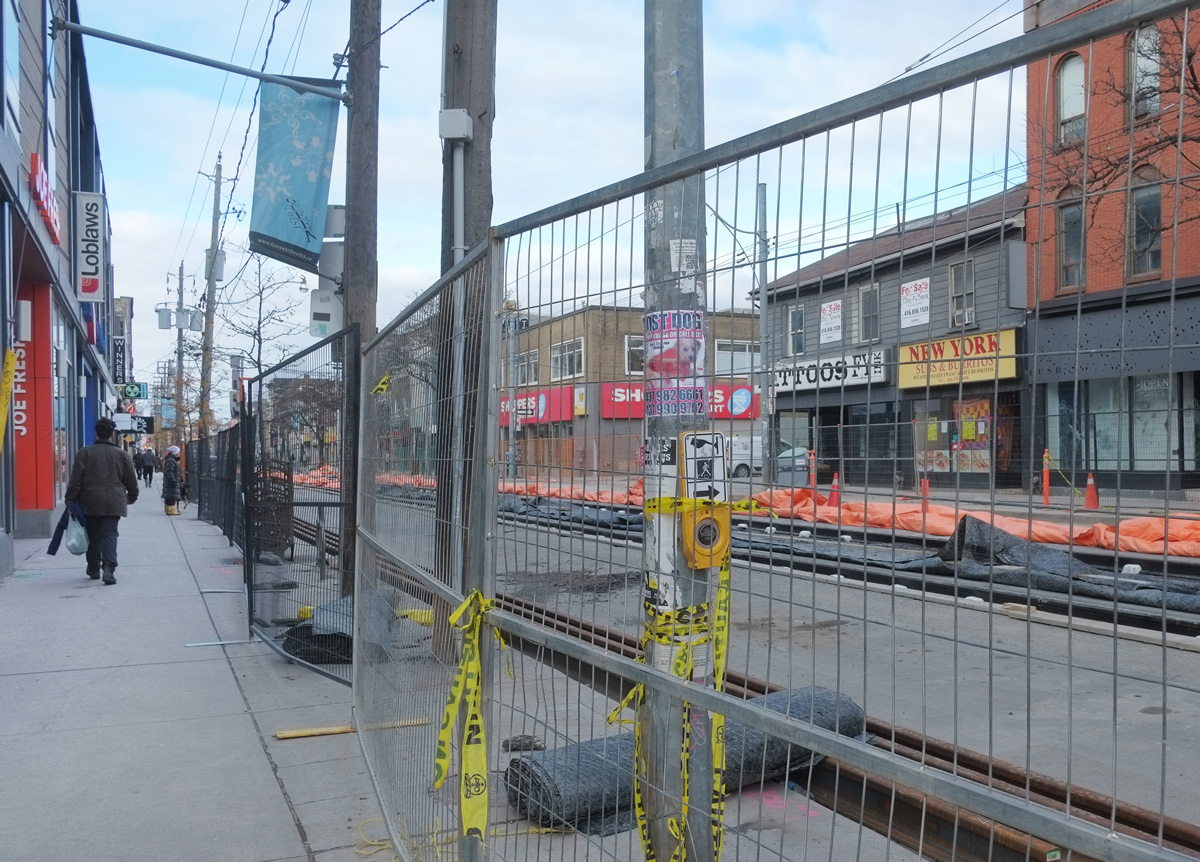
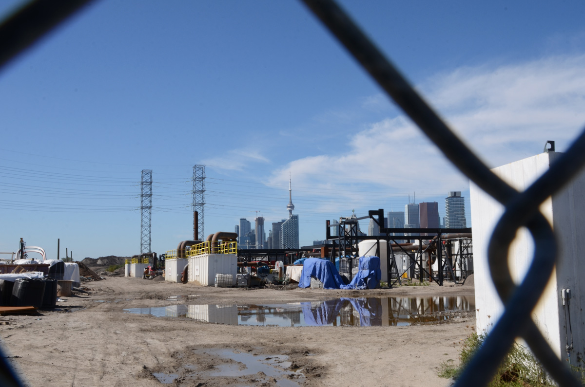
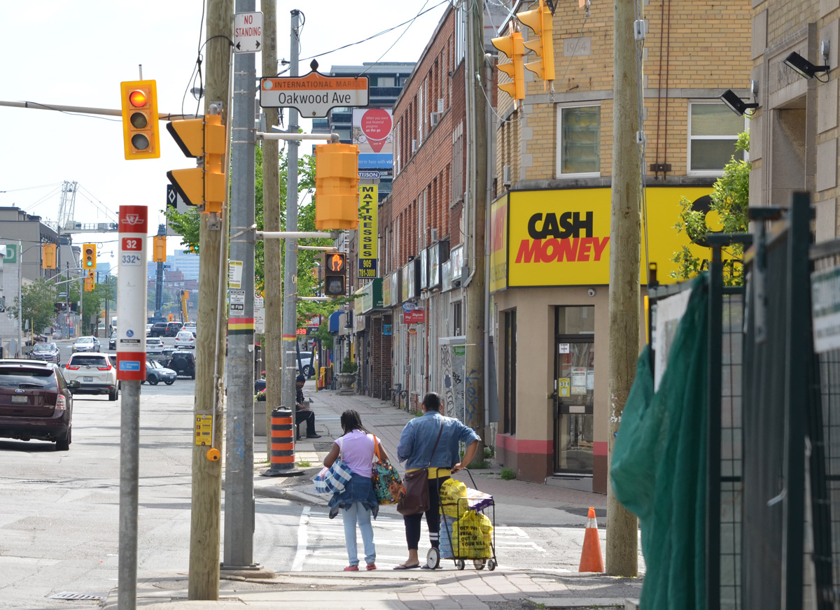
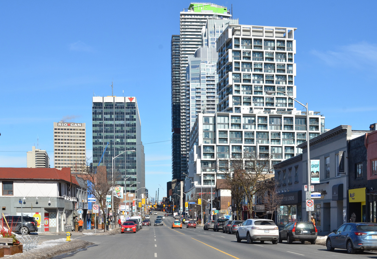
Toronto is a city of surprises; a city of variety.  If you are bored with one street, just walk another block or turn at the next intersection and chances are you’ll encounter something different.  The scenery will change.  For instance, on Dundas West you leave the downtown core just after University Ave., walk past OCADU, the Art Gallery of Ontario and Grange Park… next, through a section of Chinatown at Spadina and then immediately into the Kensington Market area.   Just south of Kensington is the redevelopment of Alexandra Park….  and you’ve only walked a few blocks.

traffic signs and pedestrian crossing signs on Dundas with downtown highrise in the background and Ocadu banner on pole

below: The newly renovated OCADU annex building on the southeast corner of Dundas and McCaul is now called the Rosalie Sharp Pavilion.  The curve of the roof contrasts nicely with the sharp edges of the neighbouring buildings

Rosalie Sharp pavilion on the southeast corner of Dundas and McCaul, shiny metal facade on the building,

below: The northeast corner of Dundas and McCaul is yet another hole in the ground.  The Art Gallery of Ontario and Rosalie Sharp Pavilion are in the background.  I am beginning to feel like a broken record player when I mention yet another condo construction site (tangent – is there a 21st century equivalent to “broken record player”?).

construction site, orange plastic, hole in the ground, St. Patricks church on right, AGO in the background, at Dundas and McCaul, northeast corner

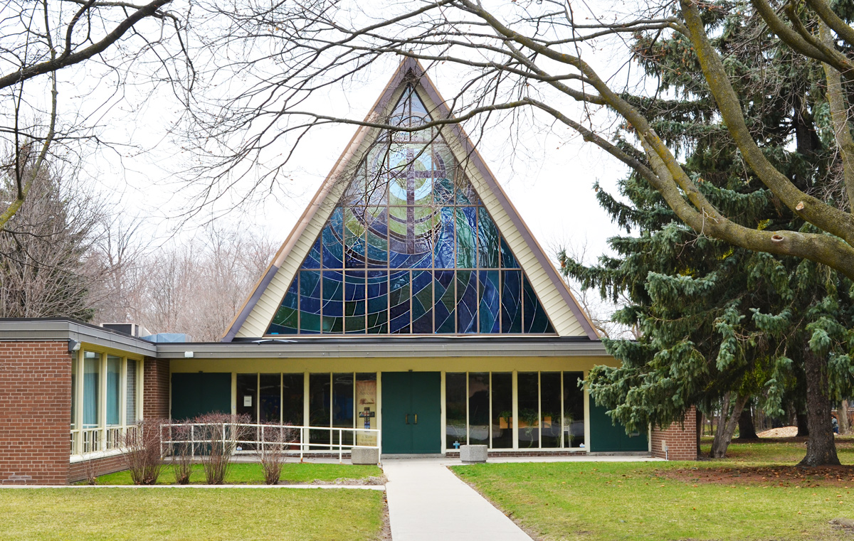
below: The demolition of the buildings on Dundas West opens up new views of St. Patricks RC Church.

on Dundas West, just east of McCaul, hoardings around a construction site with St. Patricks RC Church behind

below: Around the corner from St. Patricks, is Our Lady of Mount Carmel Church and its bilingual signage and beautiful red door.

entrance doorway to Our Lady of Mount Carmel Church, red wood door, signs on right side in English, signs on left side in Chinese

below: Krispy Kreme (yes, they still exist!) and Jimmys Coffee on McCaul in almost identical buildings.  Like twins but with a dash of their own personality.

old buildings on McCaul street, two remaining rowhouses, three storeys, one is Krispy Kreme at street level, the other is a Jimmys Coffee. A larger squarer brick building on the right, also three storeys

below: Thing 1 and Thing 2 running down the alley

mural with Thing 1 and Thing 2 from Sr. Suess Cat in the Hat book

below: …but not this alley.   That’s a lot of stairs!

Toronto downtown alley backs of houses, exterior stairs up to third floor, fences, brick, concrete,

below: Each building has it’s own character from years of changes and modifications as people come and go.  They may not be good looking but they are often unique – someone’s little piece of the city.

back of houses in alley, tree, fence,

below: Front yard patio

loveseat and armshair outside on grey mat, door to building is double red door, storefront,

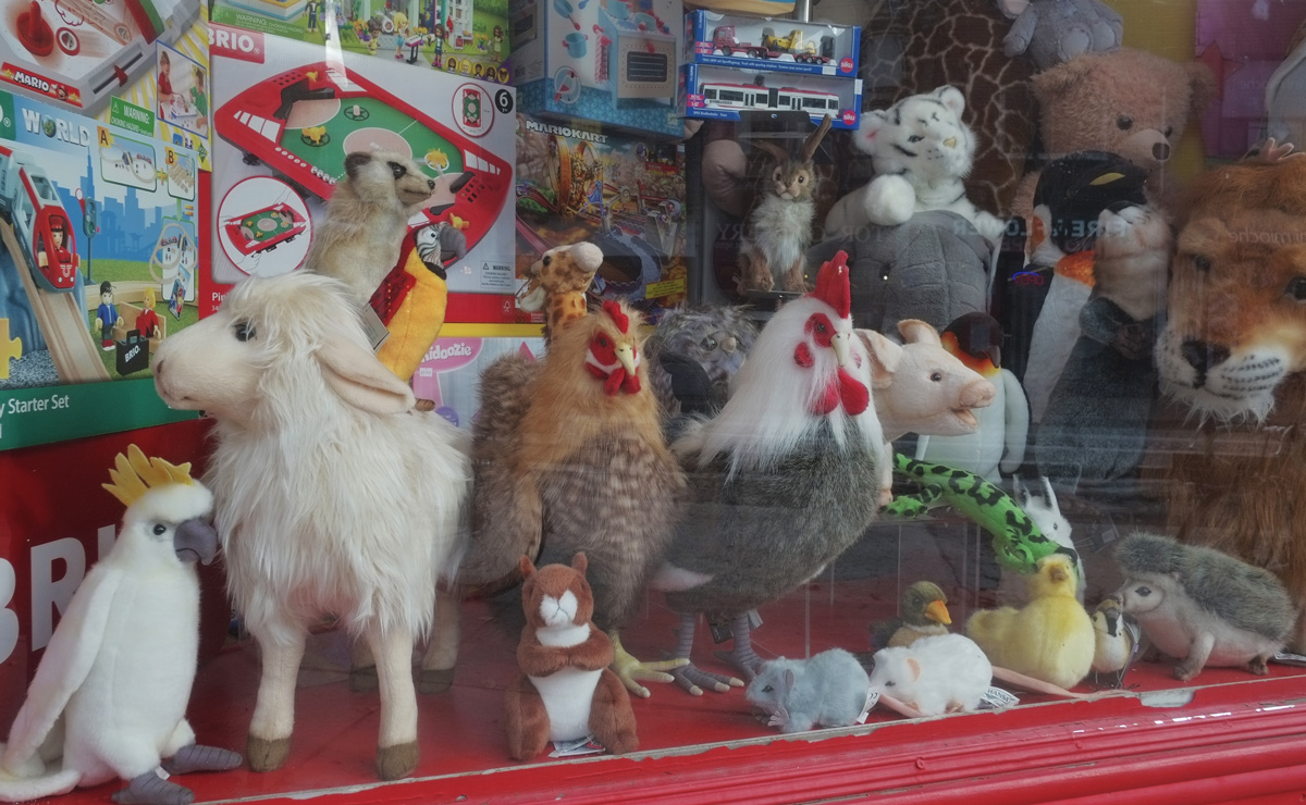
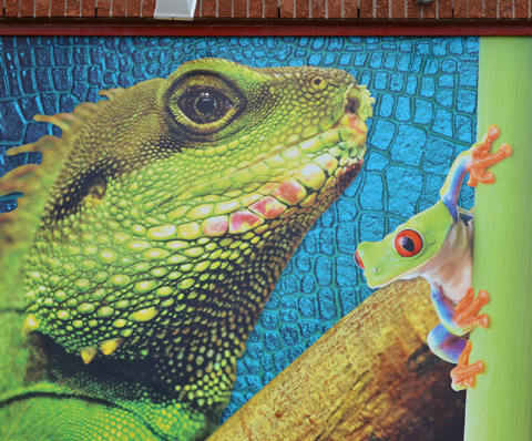
below: Critters in the window

three stuffie toys in the middle window of a bay window set in a beige stucco house, behind a wood fence, rusty metal roof on bay window

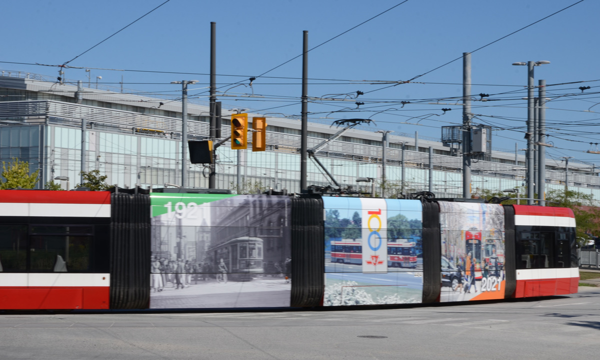
below:  An old TTC streetcar loses its load.  By the looks of it, this image will disappear once the ivy comes back to life in a few weeks.

painting on concrete wall of a TTC street car leaning over and people falling out

Super star written on the window of a hair salon in china town, large red Chinese letters too, reflection in the window

below: Put together by the ‘Long Time No See Photo Project’, “Chinatown, the Best” is a collection of portraits that highlights seniors in the Chinatown area along with their thoughts and opinions on what makes Chinatown great.

Chinatown poster series on residents, in windows and door on Dundas

below: The posters are on display over eight locations on Spadina and Dundas West.

Chinatown poster series on residents, in windows and door on Dundas

Left to right:
1. Come and work out in Chinatown.
2. Chinatown is my looking glass. Newcomers come thru finding support to enter Canada & I go back thru to understand where my ancestors and I come from. Keep Chinatown strong!
3. Chinatown is my ancestral village. In 1892 Great-Grandfather Charlie Yep laid down family roots in Montreal – but the early years of international racism gave way to self-loathing Kungfu? Chinesey food? Aiiyah!! Standing defiant in a martial arts pose is a testimony to overcoming my denial. I am Chinese-Quebecois Canadian. Au bout!
4. For making Chinatown the Best, Lily draws on her spiritual energy medicine knowledge to develop a healing relationship with the living landscape and its inhabitants to foster the restoration of the area’s sluggish energetic anatomy and amplify its vibrational health and wholeness.
5. deu say lin yeung im ah im duck!

below:  In another Chinatown window is this display – pictures of food with four old black and white pictures.

picture in window in Chinatown, collage of food photos and old black and white photos. One black and white is old Shanghai Bund

below: The picture on the far right depicts Shanghai Bund and river waterfront so it is possible that the other photos are also of Shanghai?  Or at least cities in China?

close up of a picture of sliced meat on a platter, as well as two old black and white photos. Photo on right is Shanghai Bund with boats docked along the river shore.

below: Another window with pictures – this time The Kensary, a cannabis store in Kensington.

window of the Kensary cannabis store in Kensington, full of Toronto landmarks

below: A close up of part of the window showing Casa Loma, Roy Thomson Hall, Hughs Room, the El Mocambo, the Silver Dollar, Massey Hall, and gabled Victorian era houses

close up of picture in window of The Kensary, Toronto landmarks, Casa Loma, Roy Thomson Hall,

below: Hoardings on Spadina where a skeleton reaches out for passers-by.

man on sidewalk on Spadina, walking past hoardings with graffiti and street art and adverts, one mural is a large skull with outreached bony arms,

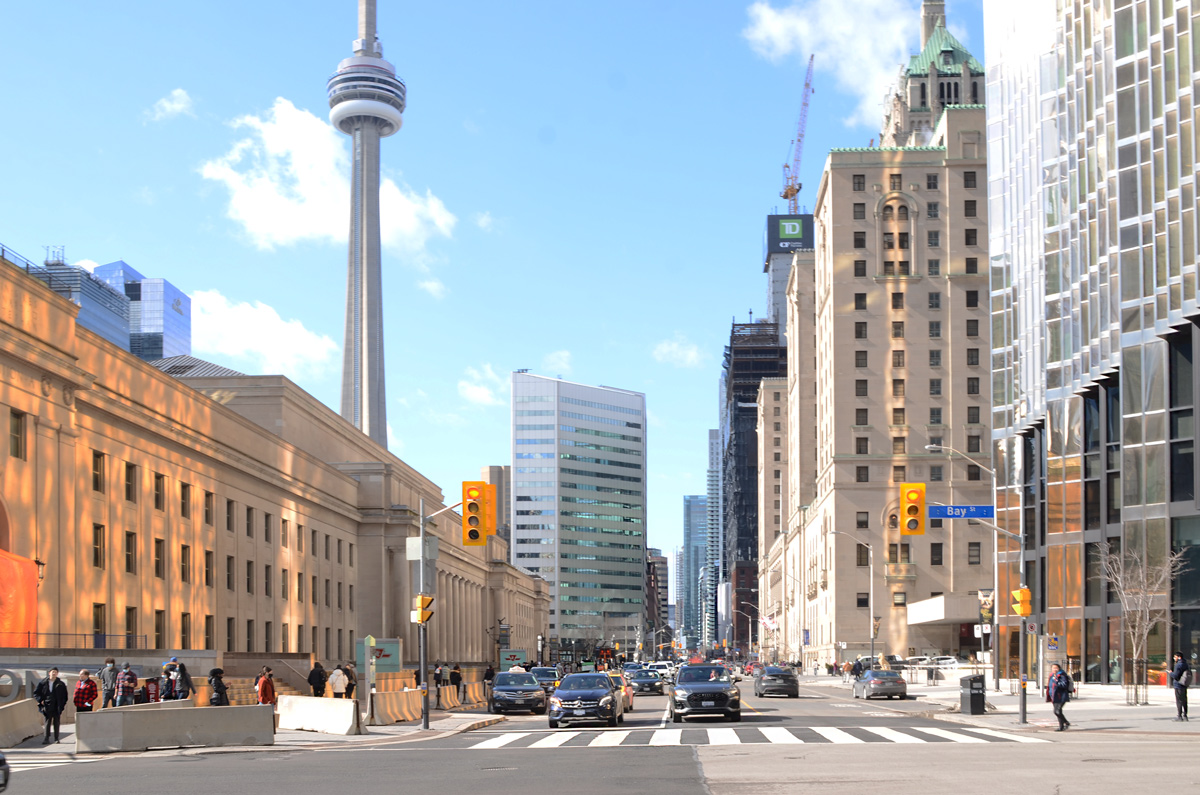
below: Kensington view of the CN Tower

CN Tower in background, large hydro wood structure in foreground, view from Kensington

below: Facilities at Bellevue Park – more than just “all gender”

a blue and yellow porta potty covered in macabre street art, in bellevue park

in blues, mural by elicser of an older man with white beard, a hook for a hand, smoking a pipe, wearing a cap

a dead end in an alley where all the fences and gates are covered with murals, a large tree, the backs of two storey houses in different materials and colours, brick, wood,

below: Wanted poster for Putin the war criminal

two stencils on hoardings, one is a pink woman's head and the other is a wanted poster for putin, war criminal, Russian leader for his invasion of ukraine

street art on hoardings with word war, black hands and red flames, yellow building tower,

below: There’s at least one Maple Leafs fan left!

sticker on a pole, a stick figure person with a happy face and a realistic blue Maple leafs hockey jersey

bke parked at bicycle stand with graffiti slaps on it, across street from fruit and vegetable market with green walls and red and white striped awning, Kensington market area of Toronto

poster graffiti of a white skull on black background, large red border, on a pole, with alley street art in the background

a woman taking pictures of street art in an alley

below: Jumblefacefoto collages

two large jumblefacefoto collages on walls of empty storefront, open door, with large sign saying coming soon, someone has written in black marker, large letters, freedom in back

in an alley, a door painted black, part of a callligraphy mural with black writing on magenta and orange background

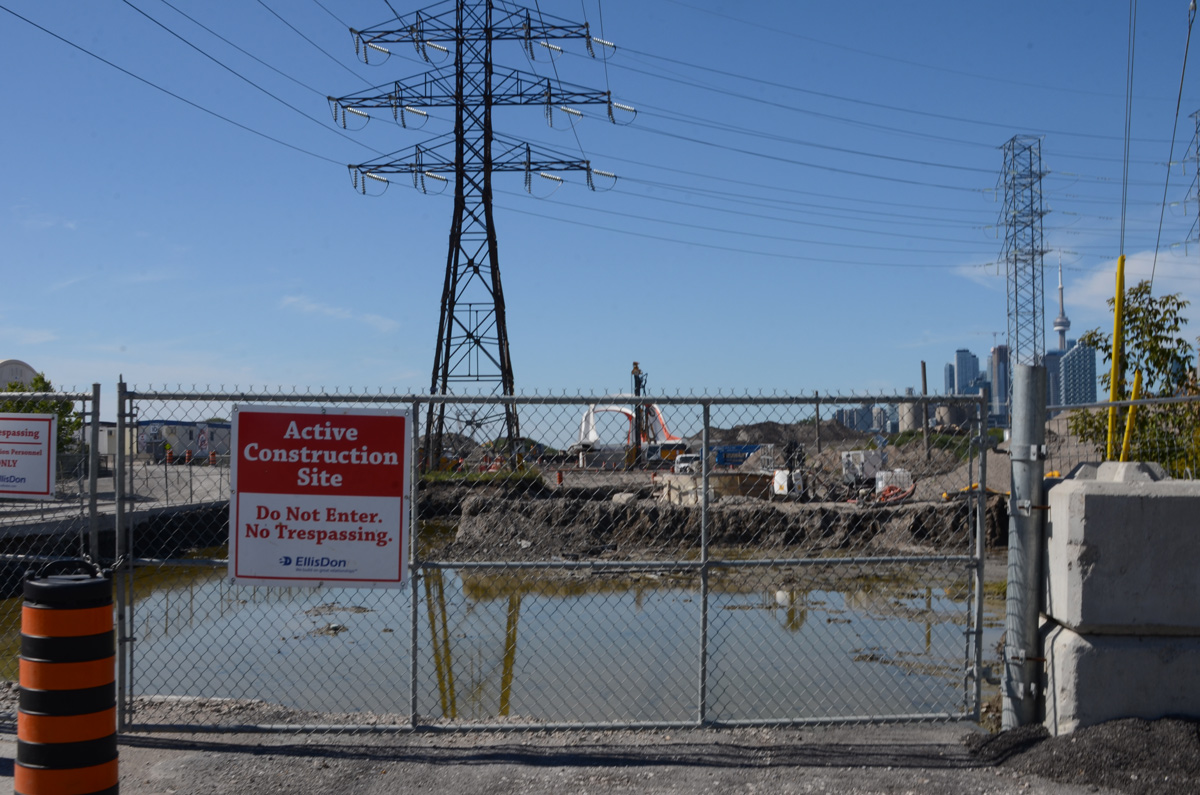
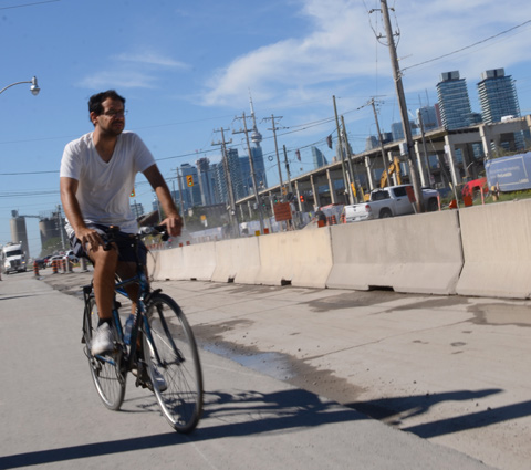
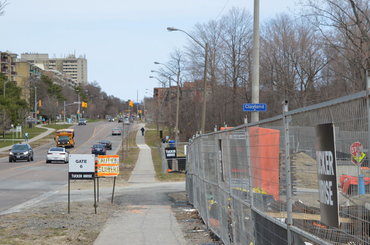
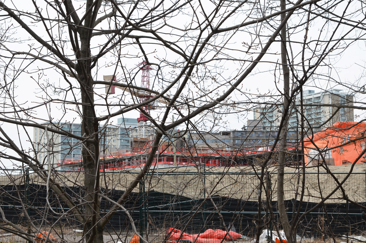
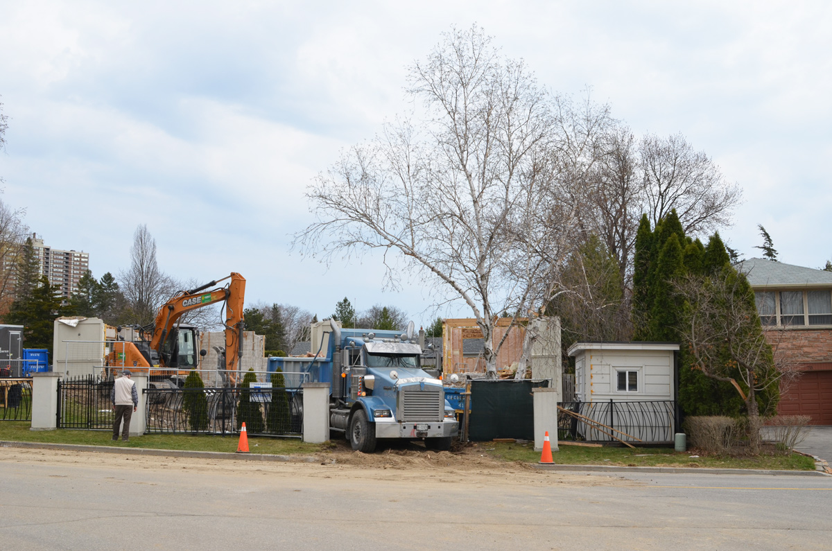
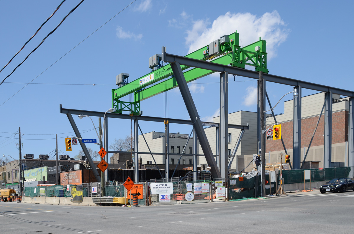
below: Alexandra Park redevelopment progresses. Dundas West is the northern edge of the 16 acre site owned by TCHC (Toronto Community Housing Corp). Most of the original units that were built in the 1960s are now gone.

orange digger working behind a fence, beside older brick apartment building, sign on fence that says you are not your mistakes.

on a pole, twp graffiti slaps, on top is an intricate line drawing of flowers and on the bottom is a bruha, intergalactic in many colours

below: Apparently it’s okay to be white. Actually it’s okay to be brown, or black, or any shade in between too.

on the back of street traffic signs, two slaps. On top is one with words It's okay to be white, and on the bottom a small face with a round surprised mouth

below: Anarchist piano lessons?

poster on hoardings that says Anarchist piano lessons

below: “They say death takes you to a better place but I doubt it”  Me?  I’m in no hurry to find out.

square slap graffiti, small, with text crammed into it that says They say death takes you to a better place but I doubt it

small black and white sticker of a screaming face, on a pole with street art, beside a wood utility pole with lots of orange paint

on a wooden fence, a sign that says warning CCTV cameras, surveillance, you are being watched

It seems like it’s been a long winter with more extended periods of colder temperatures as well as never ending snow.  Last weekend was the first sign that maybe spring would arrive this year …. before the snow came back!  Here are a few things that I saw on my walk last Sunday while out enjoying some warm sunshine.

below: A sign of the times; a sign for the coming spring.

wood letters on wood fence that say Outside We Will Live Again

CN Tower with Gardiner Expressway in front, signs for exit for Bay, York, and Yonge streets,

below:  There is still a large parking lot on the corner of Rees and Queens Quay.  It may be the last piece of undeveloped property along this part of the waterfront.

parking booth at parking lot on northwest corner of Rees and Queens Quay, tall condos and aprtments in the background, also the Gardiner Expressway

below: Clearing away the piles of snow.

a front end loader removes snow from the waterfront, with the Empire Sandy, boat, parked right beside

below: The skating rink beside the Power Plant is melting quickly.  The designs painted on the concrete below provide a bright contrast to the towers of glass and steel nearby.

ice melting on skating rink by power plant, pink and blue designs painted on the concrete below, highrises in the background, looking northeast from walkway by waterfront

below: Same spot as above but this time looking northwest.

melting ice on the skating rink, looking northwest

below: On the south wall of The Power Plant, a large image of the artist, Sasha Huber, on top of a Swiss mountain.

large picture on the outside, south, wall of the The Power Plant. A picture of the artist, Sasha Huber, planting a sign and plaque for Rentyhorn, renaming a Swiss mountain.

“Rentyhorn” (2008) is part of a campaign to rename Agassizhorn, a Swiss mountain peak. Louis Agassiz (1807-1873) was a Swiss glaciologist who became convinced that Blacks were an inferior species and that he could prove it. Renty was an enslaved woman who was one of a group forcibly photographed by Agassiz in his attempt to prove his theory. There is more of this story, and more of Huber’s work, on display in the gallery.

below: Reflections and distortions in the windows of The Power Plant.

reflections of Canada Square in the glass of the north wall of the Power PLant

below: Queens Quay

cyclists ride by on Queens Quay, past a box on the sidewalk painted in an abstract design

below: “Compartment Earth” in the lobby of RBC WaterPark Place building on Queens Quay.   It is 16,000 pounds of stainless steel; a sculpture by American artist Roxy Paine.

large metal spherical shaped sculpture in the glass surrounded lobby of rbc waterpark building on Queens Quay

below: Work continues on the park, Love Park, that replaces the old York Street exit ramp from the Gardiner Expressway.

waiting to cross Queens Quay at York, by black hoardings around redevelopment of Love Park,

large letters, L O V E spell love on black haordings, letters are decorated in abstract patterns in pink, yellow, and blue

below: Esmaa Mohamoud‘s large image titled: ” The Brotherhood FUBU (For Us, By Us)” covers 37 x 144 feet (or 11 x 44 metres).

a very large photo of two men high on a wall overlooking the street, Bay street, a group of three people with luggage is walking by

below: Looking up to the blue sky.

reflections and angles on large tall gkass buildings, lots of sky and cloud reflections

below: Part art, part health, this is “Visoleil” in the lobby of the new CIBC Square.  A glowing circle of light to lift the spirits during the grey of a Toronto winter.   I went on a Sunday and the doors were locked so I couldn’t get closer.  Unfortunately, it’s probably gone by now as it was scheduled to be removed on 11th March.

large round white light, lit, inside the entrance of an office building, behind glass, art exhibit, Glowing Orb

below: Also at CIBC Square, “Light Stolen from the Sun” by Steve Driscoll.   This new CIBC building on (by the new GO Station and across from Union Station) has been under construction for a few years now.  It isn’t quite finished.

behind construction fence, coloured glass ready to install inside a new office building

below: Looking through the front window you can catch a glimpse of this magnificent piece of backlit glass.  Apparently there are twelve.  This is something that I am definitely going to come back to see!

looking in the window of the new CIBC building in downtown Toronto, interior glass windows, very tall, of a scene with red leaves on tree and blue sky,

below: Street closed.  Construction.

Lower Simcoe street closed to traffic because of construction

below: More construction, King and John.

a man walks across intersection of John and King, with construction

below: Development notice on Crocodile Rock… yikes, 68 storeys proposed at Adelaide and Duncan.

blue and white city of toronto development notice on wall of Crocodile Rock

below: Northeast corner of Adelaide and Duncan

northeast corner of intersection of Adelaide and Duncan with Crocodile Rock bar on the corner

below: Hoardings on Lower Simcoe street – “A Stroll Through the City” by Camilla Teodoro

pictures painted on hoardings around building

below: Looking west on Front Street from Bay with Union Station, CN Tower, Royal Bank building, and the Royal York Hotel.

Front Street in front of Union station

below: In Simcoe Park (Front Street), there is an aluminium sculpture by British artist Anish Kapoor.  It was installed in 1995.

public art, mountains, amid the trees (real) in Simcoe Park

below: Outside Metro Hall, a banner promoting COVID-19 vaccination in kids.

city of Toronto banner promoting vaccination of kids against covid

below: Snarky graffiti – “It takes considerable knowledge just to realize the extent of your own ignorance.”

text graffiti on white paper pasteup

below: Signs on traffic construction cones

beside construction equipment, orange and black traffic cone with yellow poster that says At what cost?

on the sidewalk by a construction sign,orange and black traffic cone with yellow poster that says You're Not Alone

by painted curb between road and bike lane, orange and black traffic cone with yellow poster that asks Two Weeks?

below: Protest posters and graffiti. Anti condo development & corrupt landlords. Mercury contamination of water.

graffiti and posters on the side of a red metal newspaper box on the sidewalk. I'm feeling blue sticker, and an anti development poster saying greed is bad

posters and graffiti on a metal box

pasteup graffiti on metal box on sidewalk, eyes, text,

The recent closure of Queen Street West for streetcar track work provided an opportunity to take a few photos without traffic or parked cars in the way.  Straight documentation and not much more.  But that way, when you next walk Queen West and it’s wall to wall new condo development you can check back here and say, “I remember when”….

two cyclists on queen street west

below: On the northeast corner of Queen West and  Augusta – The Wool House, Drinks & Deli, and One Stop Shop

row of stores on Queen West with construction fence in front

below: Queen and Augusta – Java Hut on one corner and an empty KFC on the northwest.

empty KFC Kentucky Fried Chicken on Queen West at Augusta

below: Looking west from Augusta

looking west along Queen Street West from Augusta

below: working on the TTC streetcar tracks just east of Portland

workmen working on the TTC streetcar tracks on Queen West

below: Black and red mural on the outside of Wendys at Denison Ave

cement truck with a workman standing beside it, on Queen West, by a Wendys restaurant in a three storey brick building with a mural in red and black on the outside

below: Queen Street West, north side, at the end of Portland Street.

old building, now stores, on Queen Street West at the top of Portland Street

below: Walking westward away from Portland

woman walking on the sidewalk between store fronts and construction fence, TTC track work being done on Queen West

below: Looking west from Tecumseth and Palmerston

looking west along Queen Street West from Tecumseth and Palmerston

below: Daisies and bees as Queen West approaches Euclid

concrete planter on Queen West painted pink with picture of daisies and bees with words to bee or not to bee

below: at Euclid

two women walking dogs on Queen West at Euclid

a red motorbike is parked in a bike parking lot on the sidewalk, building across the street has street art -- a lot of large white letters that take up almost the whole side of the building

below: Looking back eastward to Euclid

a yellow digger is the middle of Queen Street West removing street car tracks, west of Euclid

below: Reflections of Queen West in the window of John Fluevog shoe store

reflections of street scene in window of John Fluevog shoes on Queen West

below: North side, at Bathurst.  The construction ends and traffic resumes.

Queen Street west, north side looking towards intersection with Bathurst

games and stuffed animals in the window of a toy store - chickens, pig, snake, mice, goat, sheep

more changes, more demolition

From Leslie to Cherry, Commissioners Street runs through the middle of the Port Lands, or at least it used to. The re-making of the mouth of the Don River involves a new waterway that cuts Commissioners into two sections.  This blog post is a quick look at the east side.

Toronto blue and white street sign for Commissioners Road, also a sign for Port of Toronto

below: TTC streetcar leaving Leslie Barns at Leslie and Commissioners- celebrating 100 years.

TTC streetcar leaving Leslie Barns, sides are decorated with pictures commemorating 100 years of the TTC

below: There are a lot of cement mixers in the area!

cement plant on Commissioners Road, cement truck parked in front

cement concrete facility

below: Canada Post has a large presence in the area too.  A series of images of stamps featuring Canadian birds, such as this black-capped chickadee, decorate the exterior wall of one of their buildings.

picture of Canada Post  stamp with a chickadee on it


port a pottie by a wall holding back a pile of sand

below: Portlands Energy Center on the other side of the Shipping Channel.   This is natural gas powered electricity generating facility.  It also has a steam turbine generator that allows it to make electricity using steam from waste heat.

gas powered electric station on the shores of the Shipping Channel in the port lands, large white building with 2 tall smoke stacks

below:  Commissioners Street now ends at Saulter

end of Commissioners Road, chainlink fence, road taken up, Toronto skyline behind

below: The new bridge has been delivered and sits at the western end of Commissioners, on the other side of the gap.  Soon(?) that gap will be part of the new route of the Don River.

in the distance, new bridge for Commissioners Road, end of Commissioners Road, chainlink fence, road taken up, Toronto skyline behind

port lands construction with city skyline behind

below: Looking north on Saulter Street towards Villiers Street.  Metal beams from the Gardiner are being lowered to the ground.

looking north on Saulter street towards demolition work on the gardiner

below: New utility poles on Saulter, with another view of the Gardiner demolition.

new utility poles at a construction site, hydro poles

below: Saturday traffic on Villiers.  The Lakeshore is closed on the weekends to facilitate the dismantling of the Gardiner.  Yes, it does cause traffic issues and confusion!

construction zone along Villiers Street, concrete barricades separating car traffic from cyclists, blue fence around construction, demolition of the Gardiner Expressway, skyline in background

below: Looking north on Don Roadway from Villiers

looking north on Don Roadway from Villiers, demolition of Gardiner

very large crane on Don Roadway, Gardiner demolition

red and white danger due to sign, danger due to noise

below: Some of the concrete bents from the Gardiner still stand as does the curved elevated ramp from the Gardiner to the DVP.

motorcyclists wait for traffic light at intersection of Don Roadway and Villers, construction behind them, removal of eastern portion of the Gardiner Expressway

below: An abrupt end

ramp to Don Valley Parkway is still in place but the Gardiner is gone except for a couple of bents

below: Crane demolishing a concrete bent beside the Keating Channel.

demolition of the Gardiner, yellow crane, by Keating channel

below: An older photo from 2015 showing the Gardiner Expressway on the north shore of the Keating Channel with the Lakeshore below. The yellow crane in the image above is close to where the blue barge is in this picture (but on the shore side!).   The supports for the Gardiner over the mouth of the Don River are metal (the greenish coloured two on the right side of this photo), not concrete like the others.  These metal supports is at the right edge of the photo above.

from 2015, photo of Gardiner along the north shore of the Keating channel

photo taken in 2015

demolishing concrete bents under the Gardiner, catching debris in nets and on sliders that direct rubble to piles

below: When the steel beams are removed, they are first trimmed and cut in half.

men helping a crane to direct a girder down to the ground while another machine breaks another girder to get it ready to go in truck

below: They are then hauled away to another site where they are cut down even more.

truck taking away girders that have been removed

below: Standing in the middle of Lakeshore Blvd and looking west. Remains of the Gardiner.

taken from center of Lakeshore - Lakeshore looking west from Bouchette, middle of Gardiner demolition, road surface is missing but steel structure is still there

below: Side view, Lakeshore with remnants of the Gardiner rising up beside.  Soon to be gone.

side view, Lakeshore looking west from Bouchette, middle of Gardiner demolition, road surface is missing but steel structure is still there

cyclist rides on the sidewalk past construction site in Port Lands, Gardiner demolition

blue and white scarborough street sign for Kennedy Road on a blue sky day, with street scene behind it ,

Sometimes it’s difficult to remember that Toronto includes a large number of outlying areas, not just the downtown core.   Also, if you are looking for a “safe” place to walk during these Covid times, head to Kennedy Road in Scarborough.  I wasn’t alone the day I walked it but people were few and far between.  Out Scarborough way they aren’t as used to people wandering around with cameras so I got a few quizzical, skeptical looks.   The street scene is definitely different from the central core but every street has a story to tell.  Sometimes you just have to slow down and look for it.

below: What lured me into the area?  I caught a glimpse of this moose and it made me want to explore more.  It stands beside Kennedy Road, just south of the 401.    Back in 2000 there were 326 of these sculptures scattered around the city, all were the identical moose shapes but all were painted differently.   Collectively, they were “Moose in the City”.

a stature of a life sized moose painted like a Canadian flag beside a large welcome to Scarborough sign, from Kennedy BIA.

You might have noticed that the sign also says Mike Myers Way, named for the actor who grew up in Scarborough.   I am not sure if this means that all of Kennedy Road is named after him but there is a Mike Myers Drive just to the south of this (south of Lawrence).

below: The sign on the Elite Bakery is trilingual – Greek, English, and another in an alphabet that I don’t recognize (Arabic?).  It all looks good in any language, doesn’t it?

sign on the outside wall of a greek bakery, words in greek, anglish, and a south asian language (or arabic). wedding cakes in the window

below: More signs of the multicultural nature of Toronto

green and white symbol of Habib bank, white lion with a sword above it

below: Another common Toronto feature – the construction site! … with its plethora of safety rules and regulations.

Coid prevention signs secured to a metal fence surrounding a construction site, a cement truck is working there

construction fence around a Tim Hortons and Petro Canada station, sign says open for takeout and drive thru

below: Looking west on Eglinton at Kennedy.   That is one tall utility pole!

looking west on Eglinton at Kennedy, north side of the street, a man standing at the corner, hydro poles, high rises in the distance, traffic.

below: Magical Aquarium Club

Magical Aquarium Club building in Scarborough

a picture of a green frog and a green reptile, large, on the outside of an aquarium shop

below: Grace Church and Grace Place Food Bank

Grace church and Grace Place food bank, design of cross in the roof shingles, cars parked in front, red brick building for the 1960s

below: Mount Zion Church, The Apostle Doctrine of God

side of a plaza with entrance for the Mount Zion Church

below: Bright pink and red will make your business stand out!

large pink and red store, contractor depot, on kennedy road,

below: A faded photo above the entrance to a furniture store – highlighting their wares.  She seems like a very satisfied customer!

faded black and white photo on the exterior of a furniture store, a woman stands alone in a dining room with table, chairs, and a hutch

below: Or, show your product by having it on display outside (these are Covid times after all)

mattresses on display outside a store, leaning against the pillars of the building

a van parked out front of a store with signs, factory outlet, warehouse sale, sign in back window of van advertising a mattress sale

below: Jostling to be seen, a jumble of words and colours.

many signs for stores and businesses, posted beside the sidewalk,

below: Eye exams on site… but the I (eye?) fell over.  Carpets & Rugs, Kairali Indian cuisine – lunch buffet for an unknown price.

signs for stores along Kennedy road

below: Real Kerala groceries at Motherland Foods.  Mr. John’s take out.

set back from the street a bit, with shrubs and a parking lot in front of it, Motherland Food, kerala groceries

below: The two storey brick plaza. Many of these were built around the suburban areas, back when suburbs were newer and growing quickly in the 1950s and 1960s.

two storey brick plaza with many stores

below: It seems fitting that the Private Eye and Spy Shop is close to the Adult Movies store.  You can also eat at Lucile’s West Indian Restaurant and Groceries or at Just Love Caribbean Restaurant.

large sign in front of plaza listing all the stores, adult movies, spa, private eye spy shop,

tall empty frame for a sign outside a closed business

below: Agincourt Used Cars, closed and waiting for redevelopment – into townhouse like complex with retail on the ground floor facing the street (in one proposal from December 2015 anyhow.  There are 25 documents associated with this development, all available online.  The latest one was March 2018.  I didn’t read them.)

yellow gate and construction fence around a vacant lot with a building in the far corner, Agincourt Used cars, closed business, graffiti on building,

below: To the east, as seen from a parking lot on Kennedy Road.

rowhouses on a side street running perpendicular to Kennedy Road, vacant lot in the foreground,

below: An older housing development with direct access to Kennedy.

rounded arch over the sidewalk leading into a residential development

semis, 18 wheelers backed into spaces at distribution center

a row of trucks parked in a parking lot

a person walks past stores with large signs in front of them, 2001 Audio and Video, Crazy Joes Drapery, Sleep Factory mattress, and a flooring store

below: Just to prove that I wasn’t totally alone!

a man in a blue jacket sits on a concrete railing while drinking from a Tim Hortons cup

a man rides his bike on the sidewalk on Kennedy Road with back to camera

Another Crosstown update…. The first of the new LRV trains are going through tests on the eastern end of the Crosstown line where the tracks are above ground. Work continues on the underground portion. Although Eglinton Avenue isn’t as much of an obstacle course through orange cones as it used to be, there is still a lot of work to be done. This is what it looks like at the moment at Eglinton West and Oakwood.

below: Still working on Oakwood station.

large blue crane above a construction site, building the new Oakwood Crosstown station on Eglinton West

below: Looking west along the north side of Eglinton from Oakwood

looking west on Eglonton Ave west at Oakwood.  Construction of Oakwood station on the right hand side,

below: Asian Massage Therapy Center seems to have survived the upheaval but many storefronts are empty.

shops on Eglinton West behind construction for Crosstown, Asian Massage Therapy Center, and en empty store for lease.

a mother and daughter stand with a shopping buggy waiting for a traffic light on Eglinton West at Oakwood, stores, traffic, man on bench on sidewalk

below: Dodging orange cones and traffic

looking west on Eglinton Ave west at Oakwood.

below: Canadian Korean Buddhist Association and Nadines Hair Studio along with some good news perhaps – an “opening soon” sign on Betta Yaad seafood catering.  If google is correct, ‘yaad’ is Jamaican patois for ‘home’.

Canadian Korean Buddhists Association storefront on Eglonton West beside Nadines Hair Studio and Bettayaad Taste seafood

below: The River Restaurant & Bar beside Weemedical Society.

The River Restaurant and other business behind barricades because of Crosstown LRT construction on Eglinton

below: Peoples Choice Grocery, Casual International Hair Salon, and a few porta-potties

Peoples Choice Grocery and more, store on Eglinton West

The most exact information that I can find for an opening date for the Crosstown LRT is 2022.

Or, approximately Finch and Weston Road

utility pole with police red light camera, no standing sign, a TTC bus stop, and a street sign for Finch Ave West in Emery village

Today, the intersection of Finch and Weston Road is a mess. Metrolinx is preparing to start construction on the Finch LRT, more than 12 acres on the southeast corner is being totally rebuilt, and water mains along Finch are being upgraded. The intersection also has the misfortune to lie in a hydro corridor.

below: Looking west on Finch at Weston Road.

intersection of Finch and Weston Rd., looking west on Finch, construction, traffic, hydro poles,

below: Canadian Pacific tracks cross Finch just east of Weston Road
red Canadian Pacific engine pulls a train across a bridge over Finch Ave West on its way northward.  Traffic under the bridge, also some construction work, a crane and a large truck blocking some of the lanes

below: Emery train station just after 1900. This was a a flag station built for the Toronto Grey and Bruce Railway in 1870 (i.e. trains only stopped if you flagged them down). In the early 1880s the line was acquired by the Canadian Pacific Railroad.   Photo source: Toronto Public Library

vintage black and white photo of a small wood building, Emery train station, with a woman holding a baby in the doorway and a man holding a hat in his hand standing on the tracks getting ready to flag down a train

Like the rest of the GTA, development here began as a village that supported the surrounding farms. In 1796, Isaac Devins and his wife Mary Chapman were given 200 acres of land, south of what is now Finch Ave from Weston Road to Islington. Devins had worked with Governor Simcoe as a superintendent on the construction of Yonge St.   Two of their grandsons opened businesses near the corner of Finch and Weston Road. – one was a blacksmith and the other a carriage maker.  A brick schoolhouse came shortly after 1850 and the Methodist church followed in 1869. A post office was established in 1879… and Emery was officially a village.

below: 1902 photograph of Isaac Devins house.  Source: Toronto Public Library

black and white photo of Devins homestead at Finch and Weston Road.

Celebrating the history of Emery are some plaques on display at a couple of bus stops on Weston Road.  The one below describes two musicians with local roots, Claudio Vena and Alfie Zappacosta.  Both men have streets named after them.

historic emery plaques at bus stop celebrating Claudio Vena and Alfie Zappacosta, two musicians

below: Finch West Mall was built in 1971 on the southeast corner of Finch and Weston Road on what had previously been farm land.  Step-brothers Aubrey Ella and Orrie Truman had farmed here since 1930.  …. but you can’t go shopping there any more.   [transcription of the text can be found at the bottom of this post]

A plaque by a bus stop in Emery describing the history of the Finch West Mall

below: Development notice sign at the site of the former Finch West Mall.  The proposal includes 5 towers, 2237 residences ranging from bachelors to 3 bedroom, some retail, and a park.  All rentals.
Blue and white toronto development notice sign at Finch and Weston Road

below: Construction is only in the early stages so there isn’t much to see


fence around construction site, parking lot, no left turn sign on its side, green fence

large yellow and orange signs guide pedestrian track through a busy intersection with a lot of construction

below: Preparations for the construction of the Finch LRT are underway.

below: But not always well thought out – here sidewalk access ends but the only way to go is to cross Finch in mid-block with no help

Empty glass drink bottle lying on ground, Sof Drink, carbonated beverage, pineapple flavour, Jamaican flavour

Also like many places in Toronto, Emery has become very multicultural.

below: African Food & Groceries as well as Comida Colombiana

part of a strip mall on Finch West, laundry, African food groceries, Erica beauty salon, Comida Colombiana Latino Americana,

below: A Vietnamese restaurant and a West Indian grocery store

two highrise apartment buildings in red brick with white balconies, strip mall in front with 6 businesses, a vietnamese restaurant, Ali Babas fast food, a west indian grocery, a mattress store, and a convenience store

below: North York Sikh temple

sikh temple in a two story plaza, beside Beck and Aps beauty supply and salon, and Makola Tropical foods, and employment agency

below: Confusion?

many signs beside a sidewalk, new tires, rotors and pads, Plaza Latina, milvan shopping centre, a bus in the background


below:  More restaurants and businesses

Sign for B & T plaza, 2437 Finch West, with many businesses listed, Anatolian fine foods, Malado Sushi & korean food, Sendas Money transfer, Chay Hoa Dang Flower Lantern Vegetarian restaurant, PePeyee(dot)com, Nash hair salon, etc

below: Ghanaian Presbyterian Church, since 1994 (as seen from Finch Ave)

Ghanaian Presbyterian church, light grey concrete structure with front in a triangle shape, cross on top of the tallest middle section, three flags in front - Canada, Ontario and Ghana

below: Prayer Palace

exterior of Prayer Palace

below: Lindylou park

A man sits on a bench in a park beside an apartment building

a large willow tree beside a playground and three apartment buildings

below: Emery Creek south of Finch
Emery Creek and shrubs in the foreground, new condos and older apartment buildings in the background

below: Finch Avenue West, looking eastward towards Weston Road

Finch Ave West looking east towards Weston Road, townhouses on the south side of the street, orange and black construction cones on both sides of the street, some traffic, apartment buildings in the background

below: Slightly closer to Weston Road (from Lindyloou park looking northeast)

Lindylou park looking northeast towards finch and weston road, apartment building, Burger King, McDonalds

below: Not taken from the same spot but also Finch Avenue West, looking eastward towards Weston Road in 1958 when Finch was still a dirt road.  The brick building is Emery Public School (built 1914); and it looks like it had a portable in the yard… and is that an Elmer the Safety Elephant flag?  The school was demolished shortly after the picture was taken.  Photo source: Toronto Public Library, photo by James Victor Salmon

below: Farther east, now past Weston Road. If you go even farther you will come to Hwy 400
intersection of finch with arrow and signet, construction, a long TTC bus us waiting to turn left, one woman walking on sidewalk

below: Most of the area north of Finch is zoned for light industry including this business, the making of prefab concrete staircases. With all the condo development in the city at the moment, there must be a lot of demand for these stairs!
light industrial area of the city, factory that makes prefab concrete staircases with lots of the product in piles of 4 or 5 staircases lying around outside

sign on a chainlink fence wishing a merry christmas and happy holidays to essential workers - you essential to us,

red and white danger due to sign altered to read danger due to climate change

below: Another vacant lot
vacant lot for sale

*****

Transcription of Plaque (above):

“Emery’s first large indoor shopping complex was built in 1971. It was called the Finch West Mall and was located on the southwest corner of Finch and Weston Road… Prior to the mall being constructed, the land was used for farming. A farmhouse, barn, and some other farming structures remained on the property up until the construction of the mall began in the early 1970s. Aubrey Ella and Orrie Truman built a farmhouse on the lot in the 1930s just south of the intersection of Finch and Weston Road. During this time, the entire property permitted wide range agriculture with even an arena for sheep.”
“The opening of the Finch West Mall in 1972 was a big hit for the community. A sizable Towers outlet first appeared but it swiftly merged into a Zellers retail store. Zellers was the principal leaseholder located at the far north end of the mall. Safeway Canada quickly decided to build a grocery store connected to the south end of the mall.”
“In 1973, McDonald’s restaurant was added onto the site but as a separate building situated at the far south of the property. It was one of the first McDonald’s restaurants opened in Canada along with another outlet at Dufferin and Wilson. This McDonald’s even featured an outdoor sitting patio with six stone tables made out of lightly coloured presses marble complete with matching benches. Close to this historical marker was a dirt trail that was upgraded into a long set of wooden steps that permitted pedestrian entrance onto the site.”
“On occasions local bands were permitted to conduct live concerts right in the mall.”
“When Zellers shut down their store in the 1980s, Canadian Tire quickly opened an outlet to take its place. However, they too decided to close their doors at the turn of the new millennium. The commercial banks began moving out and countless other stores too. The mall had ceased to have sound commercial value and disappointingly started to become an endless array of dollar stores.”
“The owner of the mall (Medallion Properties) recognized these telltale signs and thought it might be ideal for a development upgrade which could inspire financial resurgence within the general community. The City of North York Planning Department made a recommendation to establish a Business Improvement Area (BIA) to stimulate economic recovery.”
“With the organized structure of the Emery Village BIA in place, city staff suggested creating a new secondary plan for the entire general community…The mall was demolished in 2006.”

*****

One of life’s unexpected coincidences… I didn’t read the text before I took the picture so it wasn’t until a few days later that I saw the name Orrie Truman. I have Trueman ancestors in this area… was he related? Orrie Truman was Orrie Levi Richard Trueman. I don’t know where the name Orrie comes from but Levi and Richard were his grandfathers, Levi Coulter and Richard Trueman. William Mellow Trueman married Eleanor (Nellie) Coulter and Orrie is their son. William died shortly after and Nellie subsequently married Ella. Going back a generation, William Mellow Trueman is the son of Richard Trueman and Rebecca Mellow who happen to be my great great great grandparents. My great grandmother, Ina Rebecca Moore was named after Rebecca Mellow, her grandmother. Ina would have been Orrie’s first cousin. Question: What relation am I to Orrie Trueman?


lowrise townhouses, red brick, with large pine trees

below: Up beside the Don Valley Parkway and way off the beaten track this time.

up on a hill, level with a DVP overpass over York Mills Road, concrete barrier at side of parkway, signs for exit ramp to York Mills, also sign saying Lawrence Ave in 2 km,

But obviously some people with spray paint know about this little green corner of North York.

graffiti on a concrete wall beside the Don Valley Parkway just north of York Mills Road

below: More graffiti (text, throw ups) along the concrete barrier beside the southbound traffic

text graffiti on the concrete wall along west side of DVP, apartment building in the background,

below: A dead end on an abandoned road. This is part of the remains of an onramp for the southbound Don Valley Parkway from westbound York Mills Road.

text graffiti on a concrete wall, beside green space and the dead end of an abandoned onramp for the Don Valley Parkway, red brick apartment building, small trees,

below: This ramp was closed in 2005 and replaced with the present road configuration where all the on and off ramps are on the south side of York Mills.  Except for creating a mound of earth along the York Mils side, the site was left untouched.  Small trees are slowly taking over as nature gains the upper hand.

abandoned road starting to be overgrown with cracked asphalt, behind some houses, lots of trees with no leaves (early spring)

below: Still no parking

abandoned ramp to DVP,

Looking south along remains of an abandoned on ramp for the DVP at York Mills Road, later winter,

below:  Walking east on York Mills Road

A path crosses a large lawn in front of two apartment buildings

looking slightly uphill at a tree with a slight lean to the right in front of a tall yellowish grey apartment building

below: Any idea what this is? Something old and to do with water? At first I thought that it was sidewalk feature but now I suspect that someone ditched it here.

Small cylindrical metal object standing upright on the grass beside a sidewalk, rusty and old

below: Looking eastward on York Mills Road

Looking east along York Mills Road, just east of the Don Valley Parkway, some condo construction on the right, traffic, school bus, low rise apartments on the left

red and orange spray paint markings on a sidewalk by a construction site

below: Walking through Deerlick Park

View from a park towards a construction site with first few floors of a new condo built.  Taller apartment buildings in the background

fence around  a pile of dirt, construction site, with orange objects, apartment building in the background

below: Playground on Deerlick Trail

path leading to a playground

An orange kids bike lies on the grass outside a townhouse.  Patio chairs are stacked up by the house along with round table and folded umbrella

below: CN Tower and the downtown Toronto skyline in the distance

Looking beyond a fence and some houses to see the CN Tower and Toronto downtown skyline in the distance

Part of a mural, outdoors summer rural scene with house in the distance, a fox by a creek and a girl in the foreground in a flowered dress and her hair in two pigtails, surrounded by a field of long grass and flowers

below: Trilliums under the Don Valley Parkway. Part of a mural on both sides of the underpass at Brookbanks. It was painted by Sarah J. Collard with help from Manny and Sonja Wiebe.

end of a mural on walls of an underpass, under the DVP.  A field of white trilliums with tree trunks on the background.

Woman walking on sidewalk, walking past a mural by Start and City of Toronto, on DVP underpass concrete walls

part of a mural, a man cycling on a path, a sea gull lands behind him., path goes past field of flowers

3 valleys auto garage and full service gas station, a low one storey building with 4 bays for car repair

below: Church of Our Saviour with its large triangular stained glass window that was apparently designed by a local high school student.

Front view of Our Saviour Church, Anglican, with its A shaped roof line.  Large triangular stained glass window

Construction site in residential area, house is mostly demolished, just footprint remains, fence around site, orange digger, backs of houses in next street, a tall apartment building in the background

blue dump truck backed into a construction site where a house has been demolished

split level semi divided house with cars parked in the driveway, a large tree in front of the one on the right, apartment building behind

From Three Valleys I tried to find a way to get back north to York Mills Road via parks and green spaces but I couldn’t do it. The next blog post was the result of a subsequent walk when I started farther north and attempted to find a path south.

below: No Eiffel Tower here!

blue and white toronto street sign for Paris Court, on a wood utility pole

tile pattern beside a glass door

A few weeks ago I read a blog post about Agincourt history in Bob Georgiou’s Scenes from a City.   It reminded me that I had once tried to walk that area but I only got discouraged because of weather (grey, damp) and nostalgia.  Sheppard Avenue just east of Kennedy now has this large concrete underpass (Metrolinx/GO trains) which was a shocking change from my childhood memories.  My parents were living here with their parents when then met and my paternal grandparents remained in the neighbourhood until they passed.  One of my great-grandfathers lived on Agincourt Drive in a house that backed onto the railway tracks.

sheppard avenue east just east of kennedy road, with GO train bridge overpass, all concrete, with access road to Go station on the left

This time round, I waited for a sunny day before I tried walking here again.   For the most part, I walked Sheppard Avenue East between Kennedy and Brimley and the photos below are what I saw – what you see there these days.  If you are more interested in the history of the area, then you need to be reading Bob’s blog as mentioned above.

Let’s walk!

a man with a red backpack walks along the sidewalk in front of some small businesses, a condo building in the background

below: The area’s Asian character is very obvious.

Asian store front windows

below: Nutriever?

nutriever label in an ad in a store window, canada flag on the label too

below: West Highland Creek, north of Sheppard

waterway with concrete sides, graffiti on the walls, some water,

pink and white text graffiti on a canal wall

below: Are you in the market for a used truck?

looking across the street to a used truck lot, tall condos in the background

below: If not a truck, how about a car? I passed at least three used car lots.

honest used car sales at the corner of Reidmont and Sheppard

a grey apartment building in the background, a house as auto sales, cars parked in front, used car lot,

Top ten auto, used car sales, white trailer, yellow and black checkered flags

below: The old Agincourt GO station has been demolished and a new one is being built.

2 fences, one on either side of a pedestrian pathway through a construction area at Agincourt GO station

signs on construction fence at Agincourt GO station showing picture of new station

side of a house, orange construction fence, ELlis Don sign, metal railling

below: Bell Canada (It’s a white building)

white Bell Canada building in Scarborough with big round vents on the side

below: In a front yard on a nearby street….. I have many questions.

a small tree, some metal rungs, a bike tied up near top of tree, grey sculpture on the ground

below: Looking east just before Midland Avenue

intersection of Midland and Sheppard East, on Sheppard, looking east,

below: Part of the reason that Sheppard and Midland looks so empty is this vacant site on the southwest corner.  There was once a Lumber King Home Centre here, then it was a flea market and used car lot, but now it’s an empty building on an otherwise vacant 4.7 acres.   A plan for 80 townhouses and a park was filed back in 2015 and seems to have been winding its way through the development process ever since.

chainlink fence around an empty and abandoned store with yellow and white front, large vacant parking lot in front, a security sign is upside down on the fence

old weathered framing around a sign, now empty, in front of a vacant lot

chainlink fence with rusty mailboxes, a lot of garbage has blown up against the fence

below: A quick rest at the intersection where there are actually some people.   I miss interacting with the people that I see as I walk around… and I’m sure that you’ve noticed the lack of people in these blog posts.

corner of Midland and Sheppard East, a Midland bus is northbound, bus shelter with 2 people across the street

 Also, re the TTC – this is Sheppard Avenue, home of the Sheppard subway, or is it LRT now?  As I was researching development at 4181 Sheppard, I discovered that Metrolinx has been applying for easements along Sheppard in preparation for anything that might be built on that street.

two women getting on a Sheppard TTC bus at Midland

below: There is always something to remind us of life’s situation these days, such as this ad that was on a bus shelter.  I liked the hashtag at the end, #PracticeSafe6ix

poster in a bus shelter, Covid-19, how it isn't over yet, practice safe six

below: Knox United Church was built as a Free Presbyterian church in the 1840’s but became Knox United in 1925.   This was when the Presbyterians merged with the Methodists to form the United Church of Canada. (Although not all Presbyterian churches went along with the merger).

side of red brick church with cemetery between church and road, smell steeple, Knox United church

below: Agincourt Baptist Church

blog_agincourt_baptist_church

below: There is a second overpass in the area.   The CPR tracks pass over Sheppard between Midland and Brimley, just west of Canadian Pacific’s Toronto Yard.

looking along Sheppard East from the railway underpass

below: On this overpass is a mural by elicser

mural by elicser on the concrete wall of a C P R overpass in Scarborough

part of an elicser mural, a woman with a red rose in her hair sits on a man's shoulders, a woman in a pink dress is also in the picture

below: Running parallel to the south side of the CPR line and Sheppard Avenue is a large industrial complex belonging to the International Group of Companies.

steel tanks, rail line, industrial area

industrial site with metal tanks, a storefront with Chinese signs in front and to one side

advertising signs along a fence, spa for 15 dollars, a Chinese furniture store, a pink poodle picture

signs along Sheppard Ave East
Chinese halal buffet restaurant with bright red sign,
a small skinny flower store on Sheppard

below: Toronto has 85 BIAs (Business Improvement Areas) including Sheppard East Village which includes Sheppard between Midland and Markham Road.

street signs and banners on utility poles, Sheppard East Village, Fulham Street, Brimley Road,

below: At Glen Watford and Sheppard there is a large new Seniors residence planned.

sign advertising live music and dancing in front of a strip mall that is about to be redeveloped

below: In the meantime, there are empty stores.

Dragon centre, Chinese market, now closed and empty, empty parking lot and two small dead cedar trees

below: North Scarborough Memorial being renovated but the old gate remains.

old gate in front of North Scarborough Memorial centre, now renamed, indoor swimming pool

below: Agincourt Elementary School.  Built in 1915 as a Continuation School, (grades 9 and 10) but used as an elementary school since Agincourt Collegiate was built in 1930.

Agincourt Public school, two storey square brick building built in the early 1900s as a high school

large trees in front of a red brick school, Agincourt Collegiate

residential street in Agincourt, brick houses, Ross Avenue street sign

a house in a residential neighbourhood being renovated

below: (Snow)man down! You’d be tired too if you had to stand outside all winter!

below: Mystery ‘All Way Stop’ in the Walmart parking lot.

a stop sign is leaning against the back of a billboard so that no one can see it from the road

 Yonge, Eglinton, Avenue, Chaplin.

Some habits die hard and some rules aren’t meant to be broken including the unwritten rule that a photowalk begins at a coffee shop.  Was it the best. coffee. ever.?  I’m not sure.  It was good; it would have been even better if I’d been able to drink it inside!  Also good is the fact that there are independent coffee shops that are still open and I hope that they survive (and thrive?) until the summer.

sign on sidewalk advertising a coffee shop that says best coffee ever also mulled wine

below: Long north up Yonge Street from Lola (L O L A Lola), towards Eglinton.  Back to Midtown.

looking northup Yonge Street, from Lola Rd., towards Eglinton Avenue

below: Yonge and Manor Road, looking northeast.  One of the remaining Midtown buildings that date from the original development about 100 years ago.   In 2016/2017 a massive list of buildings in this area was put forward as considerations for “Main Street Block” heritage designation including this one at 2075 Yonge at the corner of Manor Road East.   In the resulting report, mention is made of “the three-storey scale, the glazed commercial storefronts with apartments in the upper floors, and the elaborate Tudor Revival styling typical of those dating to the interwar era in North Toronto.”  I haven’t done any more research to determine if any of these buildings were actually added to the heritage register.

at the corner of YOnge and Manor Road, looking north east

below: Northwest corner of Yonge and Eglinton.  Still mired in Crosstown construction.

intersection of Yonge and Eglinton

below: Walking west on Eglinton through a maze of cones and detours.

Eglinton Ave west sidewalk through Crosstown construction, lots of orange and black cones, pedestrian detour signs

below: Looking back towards Yonge and Eglinton.

Eglinton Ave west sidewalk through Crosstown construction, barriers on both sides, narrow, tall buildings at Yonge and Eglinton in the background

below: Consulting.

behind that metal bars of a construction barrier, workmen are consulting a paper

below: Part of the pedestrian detour on the north side of Eglinton takes you through Eglinton Park. This photo is from May 2020 so you can’t see the ice and snow that was there a few days ago!

Pedestrian detour for crosstown subway and l r t construction, orange sign with arrow pointing right, leading pedestrians through the park

below: View of the city, looking east towards Yonge Street from Eglinton Park (May 2020)

view of city skyline from Eglinton Park - looking east towards Yonge & Eglinton. Tennis courts in the foreground

below: Decorated hoardings at Eglinton Park.

green plywood hoardings around Crosstown construction, with artwork on them, painted designs on wood

below:  Rendered drawing of the future Avenue Road Crosstown station.

picture on green hoardings, an image of what Avenue Road subway station is going to look like when its finished

below: Avenue Road Crosstown station as it is now.

metal support beams for construction of new Avenue Road subway station, Crosstown
below: What it looked like in early May last year. Not much change is there?  I was disappointed to see how Eglinton Avenue looks just the same as it has for years.  At the surface it appears that there has been no progress. I’d love to be able to see what was/is happening down below as I know that the work didn’t stop for Covid.

Photo from May 2020, construction of Avenue Road subway station

red octagonal stop sign that now says stop racism

below: No running, no diving. Sigh. Although it makes sense that there’s no diving in the shallow end, it’s just another reminder that this has been a year of “no”.

outdoor waterslide at an outdoor pool closed for the winter, sign that says no running, no diving

below: One of the many architectural styles on Avenue Road

square residence on Avenue Road, two storey, duplex or fourplex, snow,

three older houses on Avenue Road, winter time

below: Chaplin Crescent views

houses in winter, large tree, with tall condos in the background.

below: And back to Yonge Street –  For lease, a former Starbucks at Yonge and Davisville.  This is one of 25 locations in Toronto that closed at the beginning of February and one of the approximately 300 closed across Canada.   This was always a busy place but maybe it was dependent on commuter traffic as it is by the Davisville subway station.  The list of 25 closed Starbucks’ is heavy on mall locations and those on the heavy commuter routes.


Starbucks, now closed, in an older building at Yonge and Davisville, for lease sign iin the window

The building started its life in 1894 as J.J. Davis’ general store and post office built on land owned by John Davis ­— the same Davis that gave the name to the tiny community of Davisville.  When I was researching the building, I found the following three photos.  First, J.J. Davis Store, ca 1900.  Home of the Davisville Post Office 1894-1913.

J.J. Davis Store, about 1900

below: The same corner, 1951.  Note the old bus on Davisville (and all the people waiting to get on it!).   The Chaplin Groceteria is now the Fresh Buy Market but the building is almost exactly the same 50+ years later.  The hydro lines have been buried since 1951.

photo of the northeast corner of Yonge and Davisville, back when there was a flower shop on the corner

below: I have been trying to reconcile the information that I found online:

  1.  The J.J. Davis Store was built in 1894,
  2. The first post office was in Davis’s store,
  3. John Davis died in 1891.

Then I found the photo below.  It was taken in 1981 and is of a building, Host Rent a Car, at the corner of Yonge & Imperial (one block north of Yonge & Davisville).   The library notes: “In the 1870s, this was the site of T. G. Crown’s Grocery, Flour and Feed Store and the first Post Office in Davisville.” Davisville Village Walk, North Toronto Historical Society, 1984, p. 5.    Therefore, two stores (that still exist) and two “first” post offices … and a mix-up somewhere.

  I like the fact the T.G. Crown’s store was on Imperial street!

old black and white picture, 1981, of host rent a car shop at Imperial and Yonge, in Toronto, old two storey house

The above three black and white photos are online, from the Toronto Public Library

seating and snow outside the backdoor of a white house with a green roof

With many thanks to Karen for accompanying me.  Sorry, no photo – totally forgot…. We’ll have to make good on our vow to walk again!