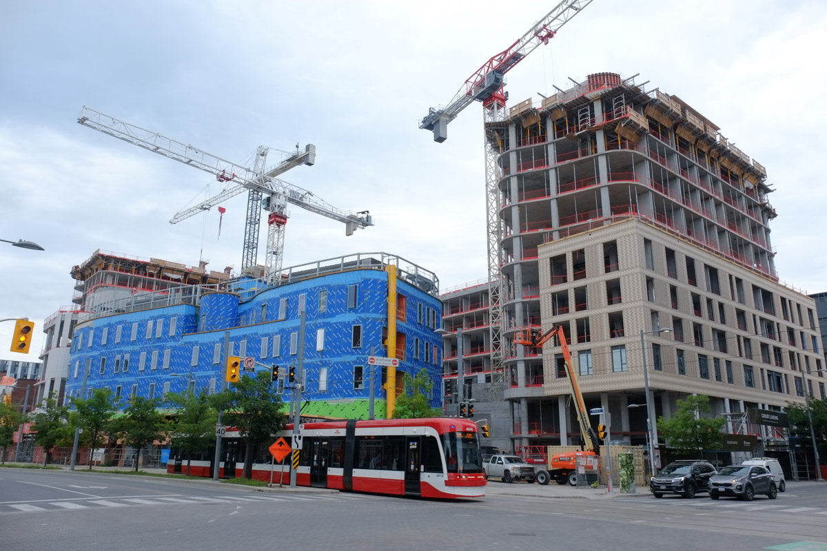
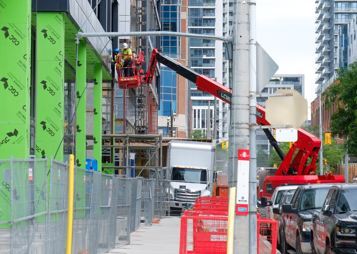
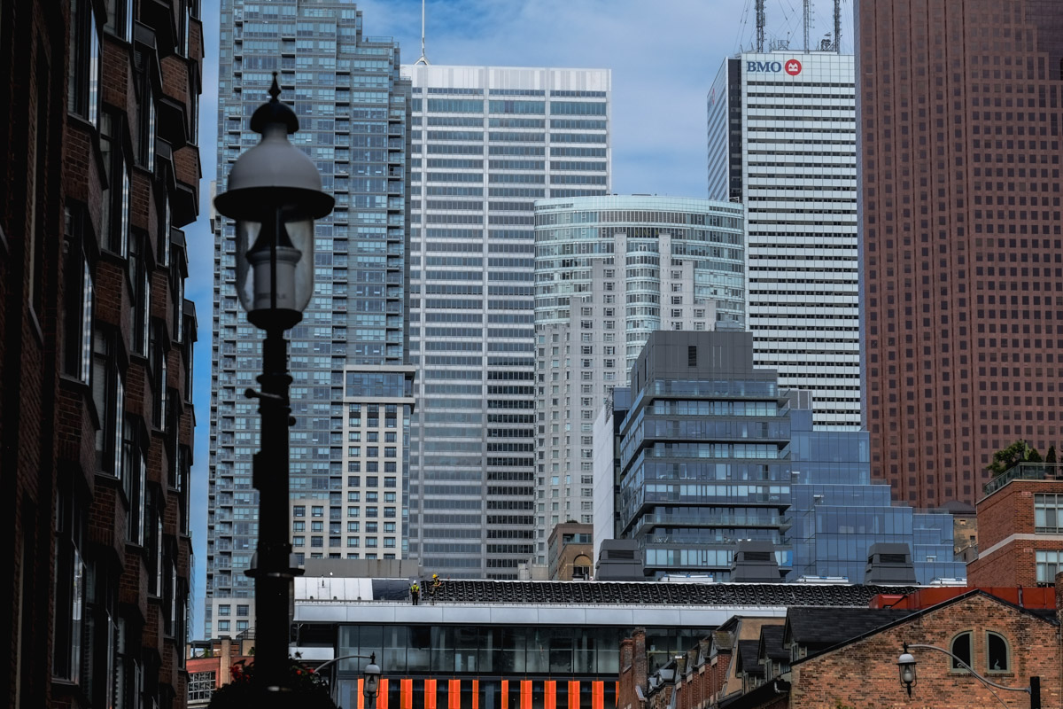
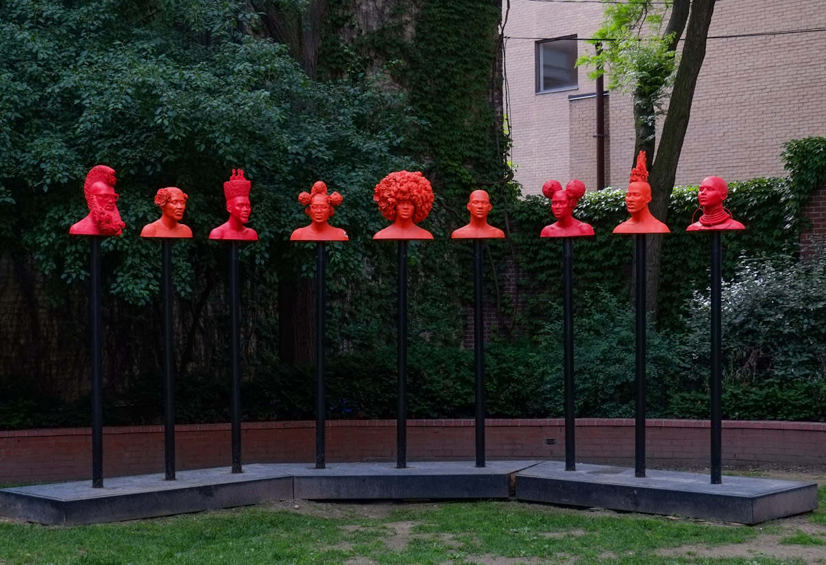
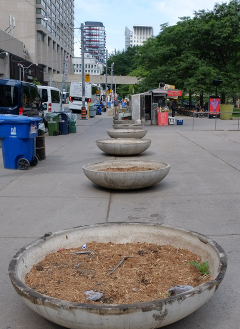
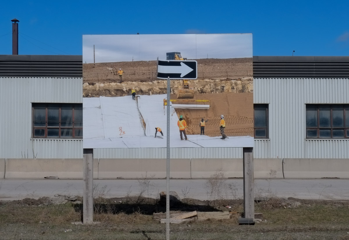
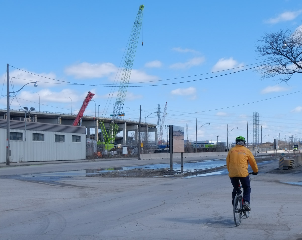
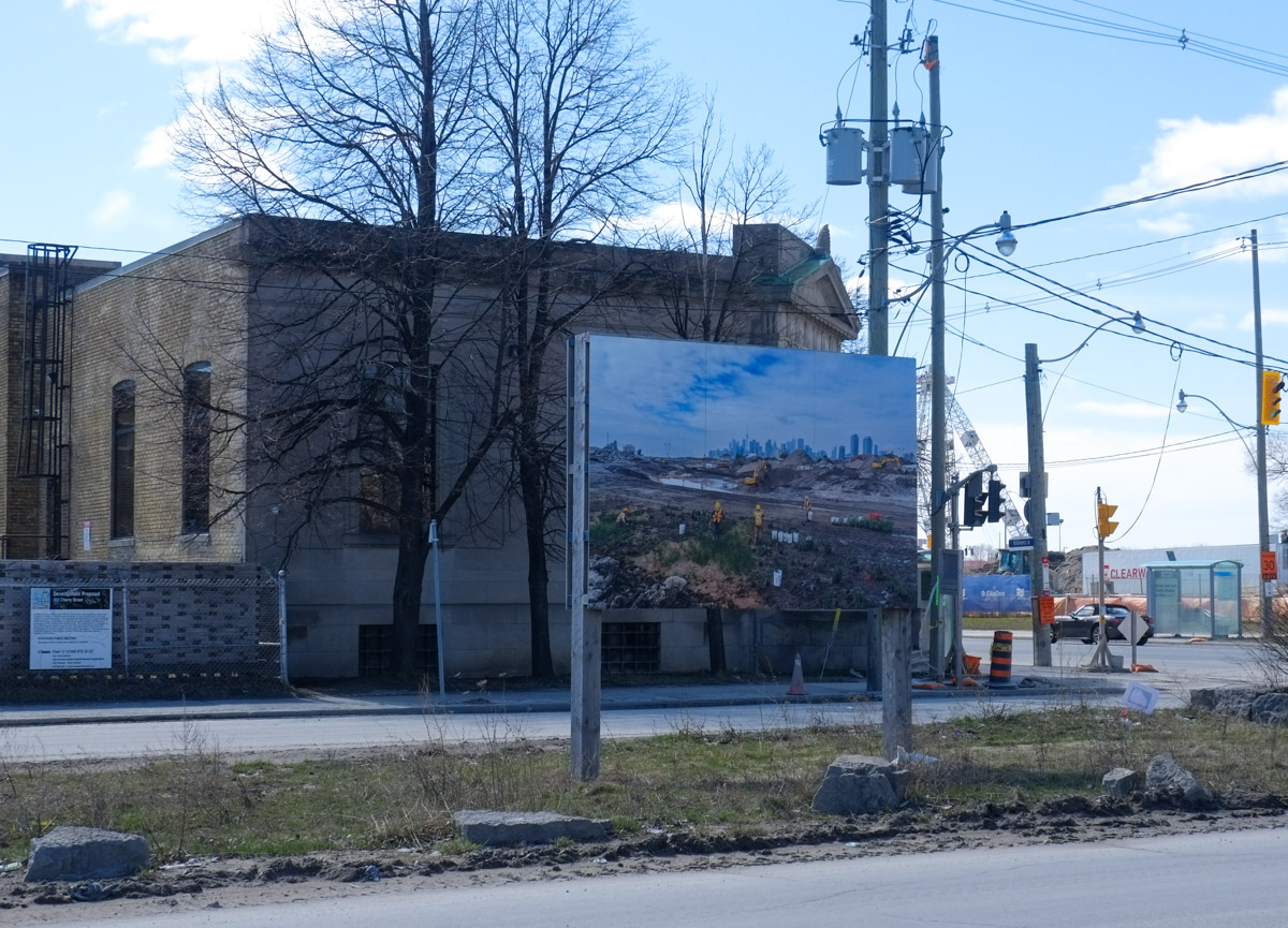
First, let’s get our bearings….
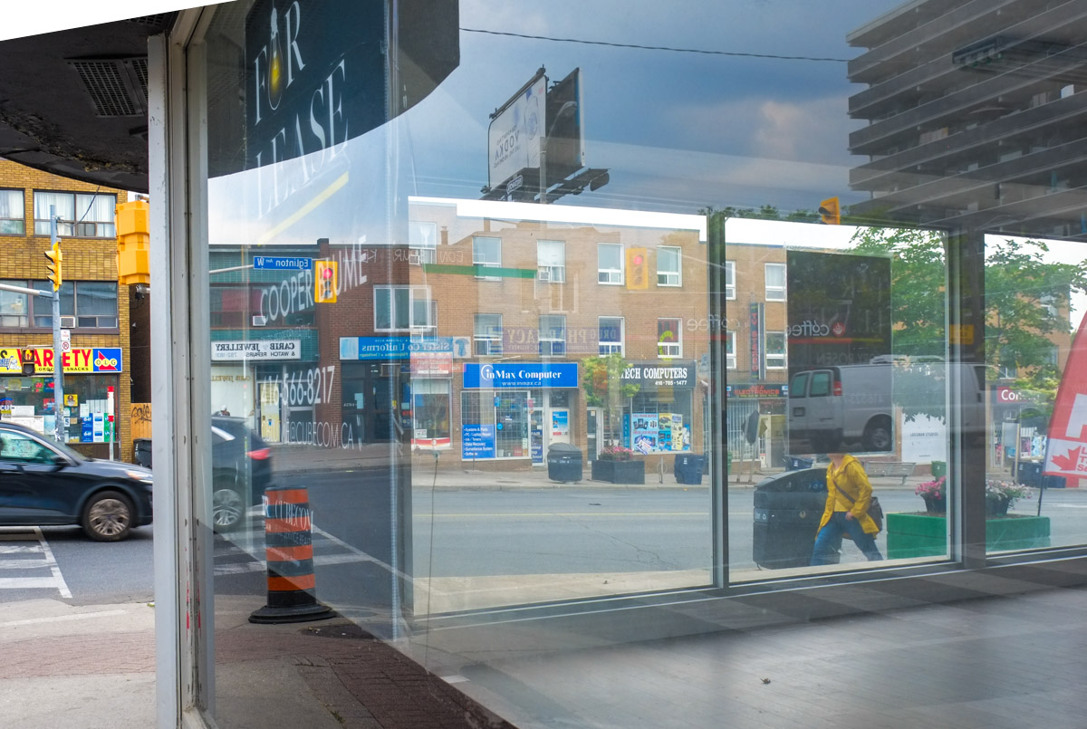
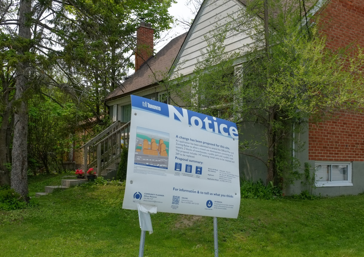
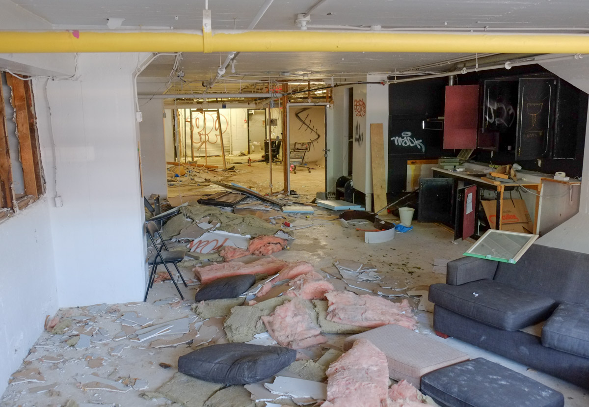
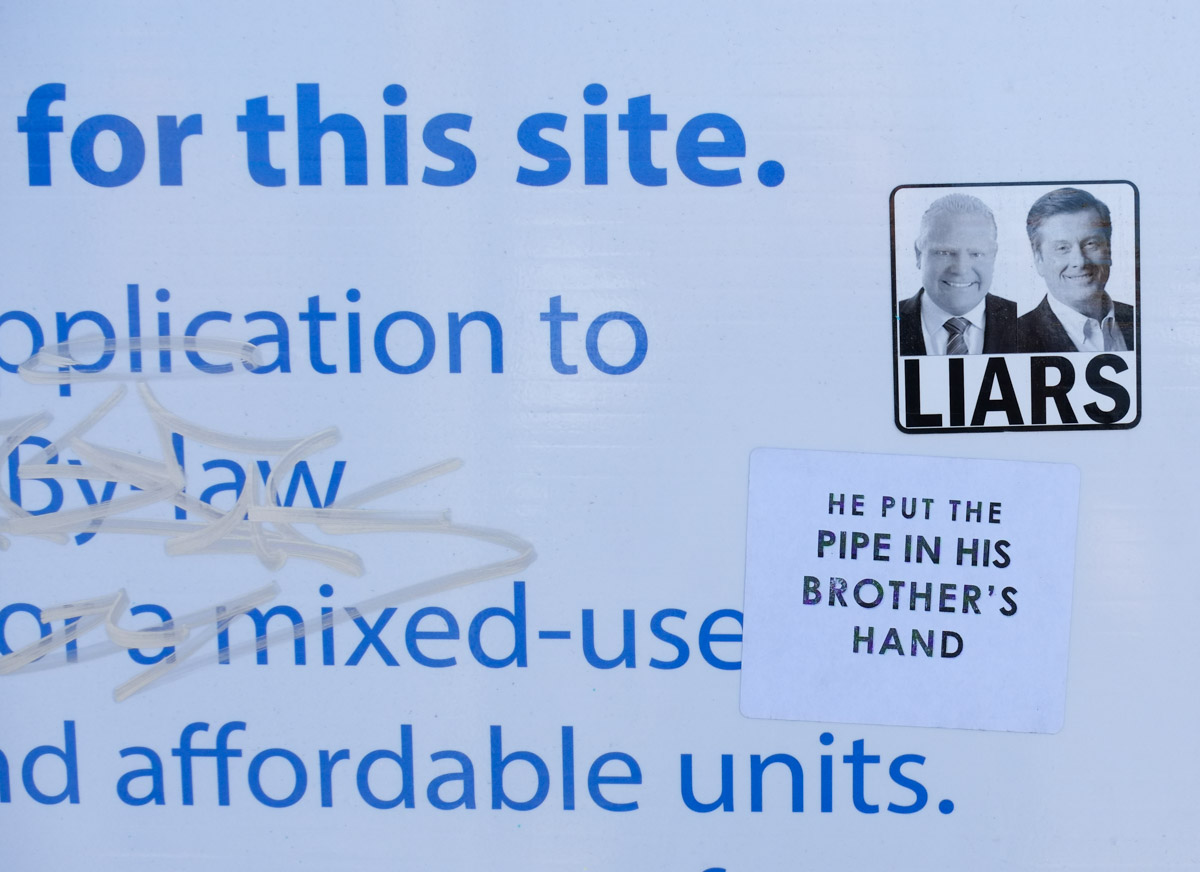
below: This was, until recently, the Dominion Pub. It is on the northwest corner of Queen St East and Sumach. It was a popular spot with a decent patio. When I saw that the Dominion was closed and the property for lease I decided that I’d better document the area. There is just so much happening, or about to happen, here in terms of development.

below: Directly opposite, on the northeast corner, is this row of buildings – 502, 506, and 508 Queen Street East. The buildings appear to be empty but there is no development notice sign. Only 502, Sweet Marie Variety, is considered of any historic value.

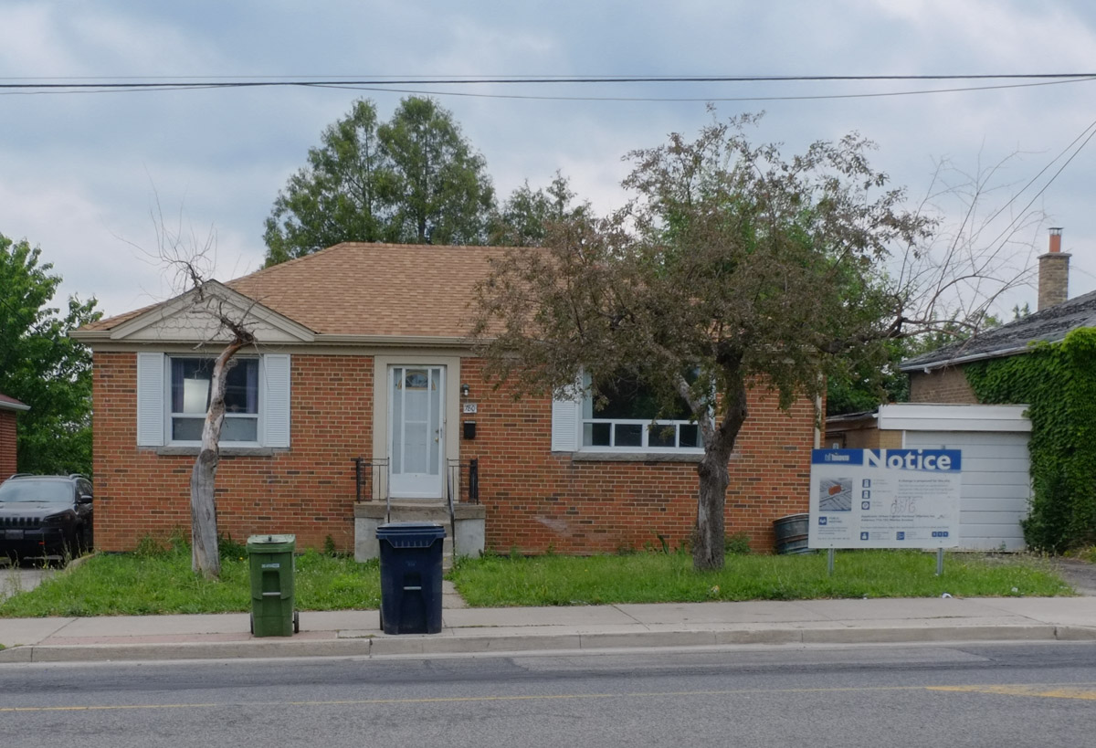
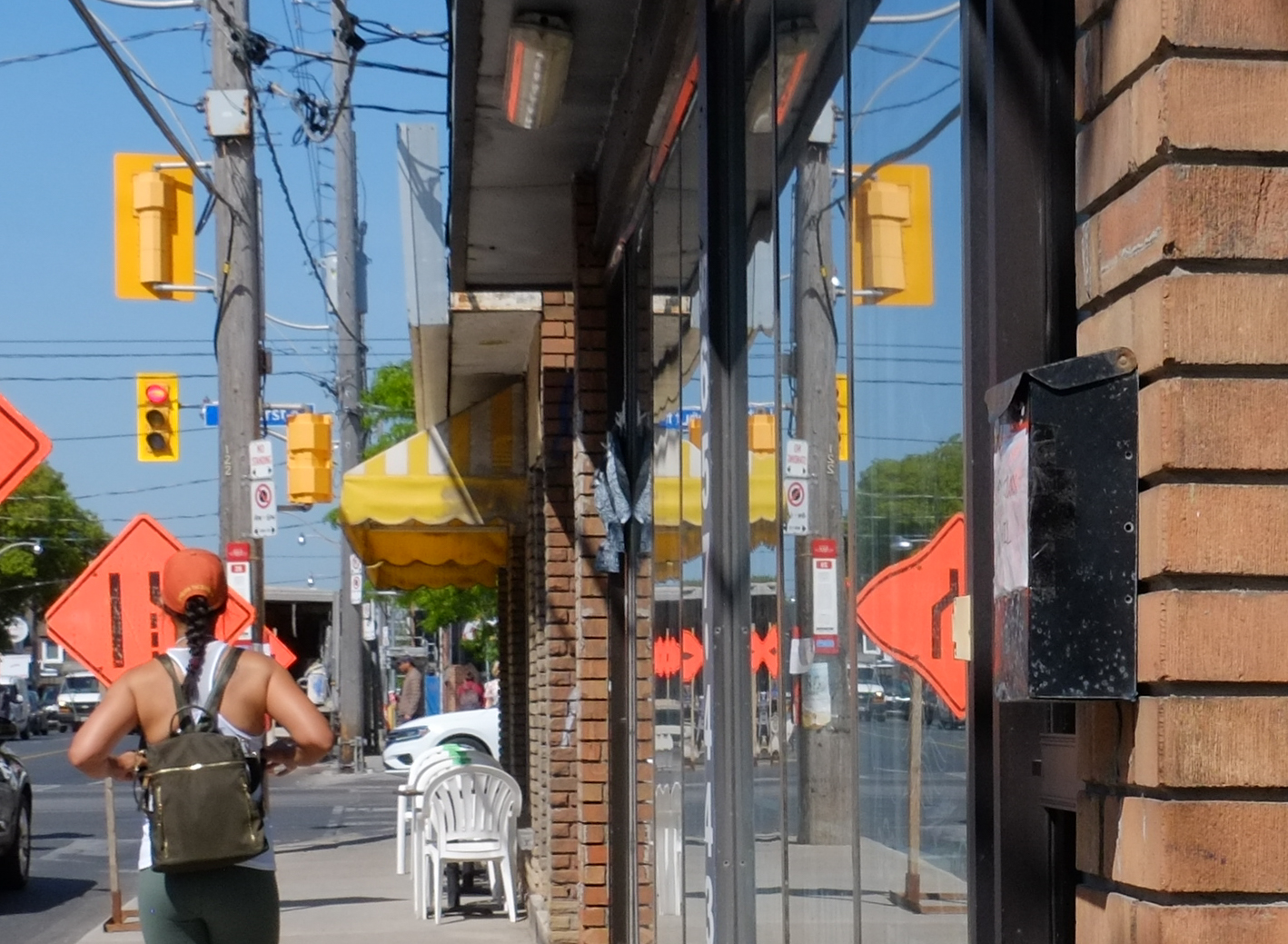
below: Just to the east, more of the same. One is for sale – It’s just over 1600 sq ft, and can be yours for $1,800,000. These pictures were taken on the 1st of July and as I write this almost two weeks later, it is still on the market. Care to be a commercial landlord? Or maybe hold onto it in hopes that a developer wants to buy you out?

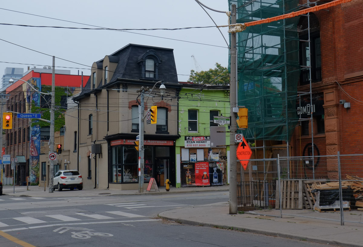
below: One more change of viewpoint… South side of Queen, looking west to Sumach Street

below: Stepping back in time (can anyone date the cars?), to the same intersection but from the other side, Queen Street looking west at Cherry Street.
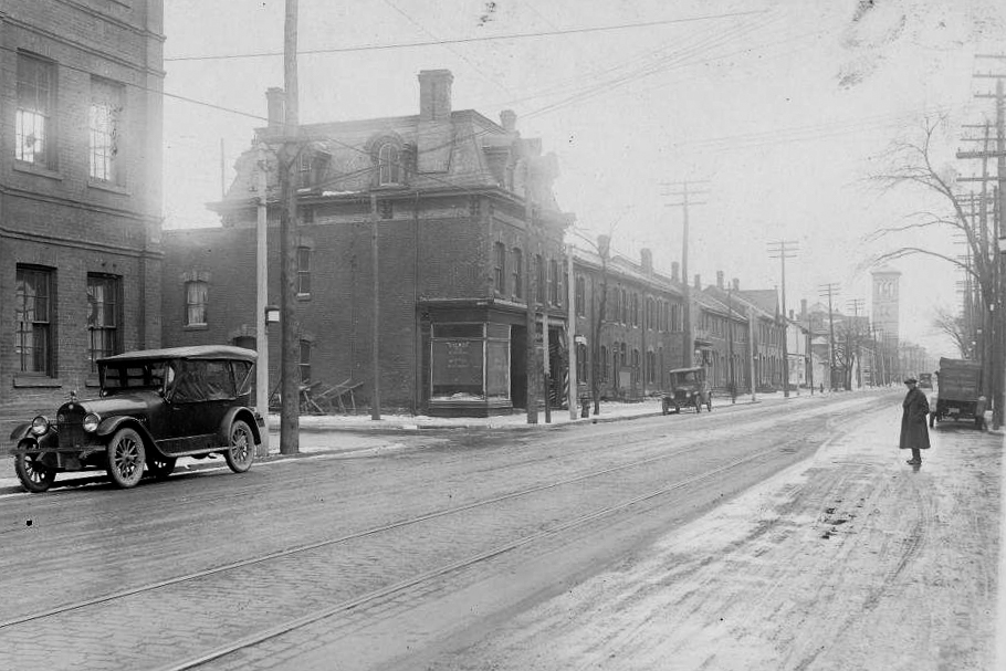
City of Toronto Archives, Fonds 1488, Series 1230, Item 2285, plus some enhancing with Photoshop
below: The building on the corner with the mansard roof is still there. The bright green part of the building lost its roof in a fire a few years ago. Both buildings date from before 1884.
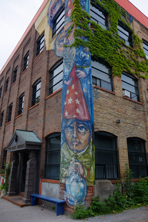
below: The fire also destroyed one of the row houses immediately beside, leaving a vacant lot in its place. 469 Queen is a terrace house built in 1877. The ivy covered building (the Magic Building) faces Sumach Street.

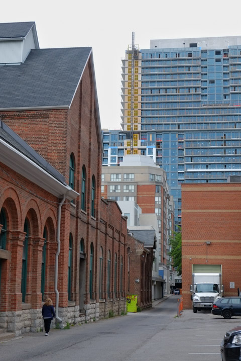
below: The brick warehouse/factory at 489 Queen Street East was built in 1884. This building has been renovated and turned into office space.

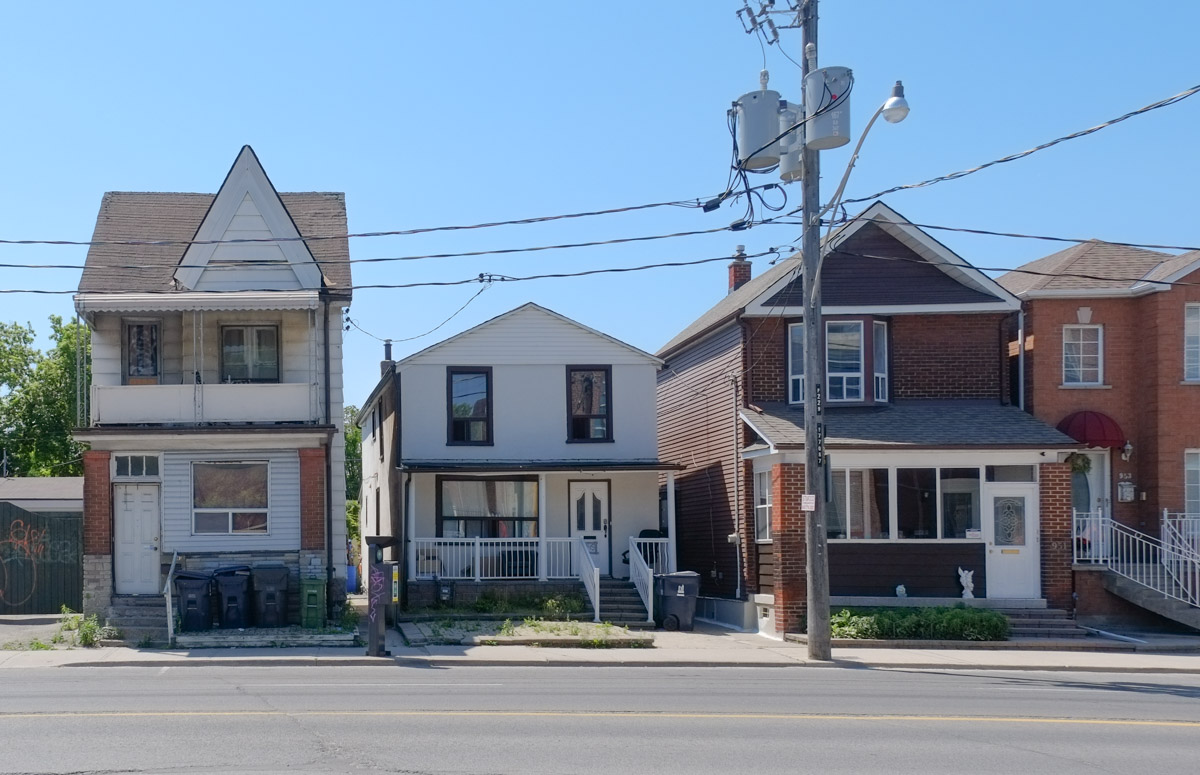
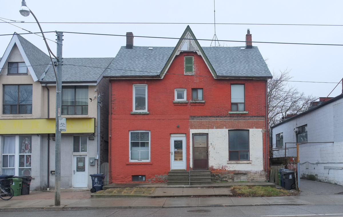
below: Just east of the old warehouse is another short row of terrace houses from the same time period.

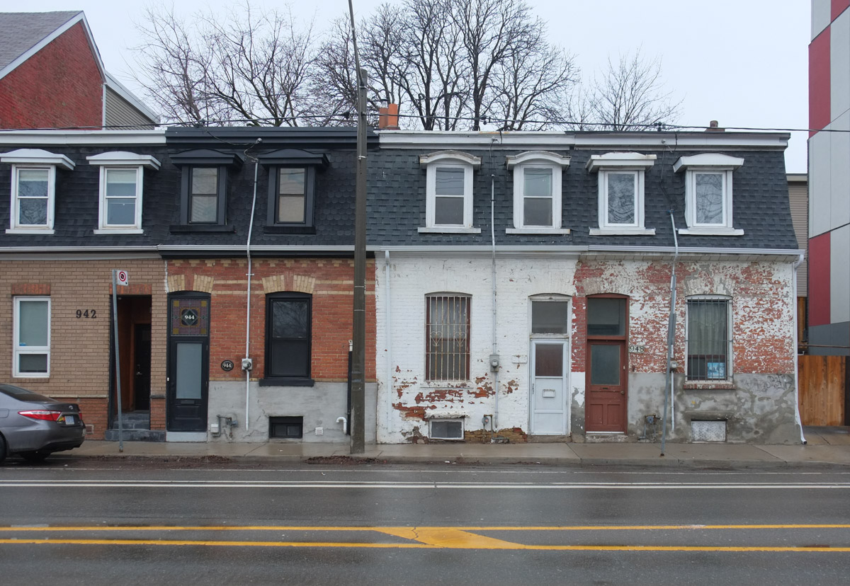
below: A little further east

below: And a little more…. a row of flat roofs on two storey brick store fronts. They also all have three narrow windows on the upper floor.

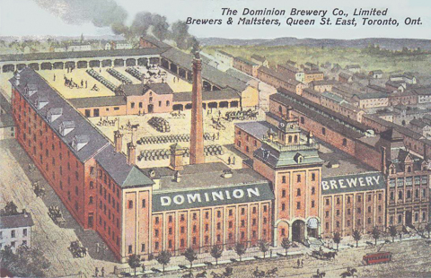
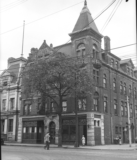
Jumping back to the start, the Dominion Brewery opened in 1878 and was in operation until 1936. The original owner was Robert T. Davies who bought the site in 1877; he had worked previously at his brother’s brewery, Don Brewery which was only about two blocks away. A large part of this structure still stands, especially the part facing Queen Street. The lower right corner of this image shows the Dominion Hotel which was attached to the brewery but wasn’t part of it.
below: The Dominion Hotel as it appeared in 1945. The little tower and fourth floor no longer exist. The hotel was built in 1889 by Robert Davies (same as first owner of the brewery).
This image was found on Wikipedia but is originally from the City of Toronto Archives, listed under the archival citation Fonds 1257, Series 1057, Item 520. (public domain).
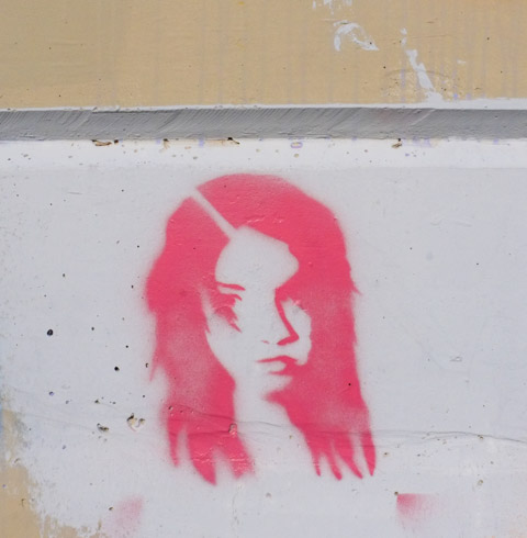
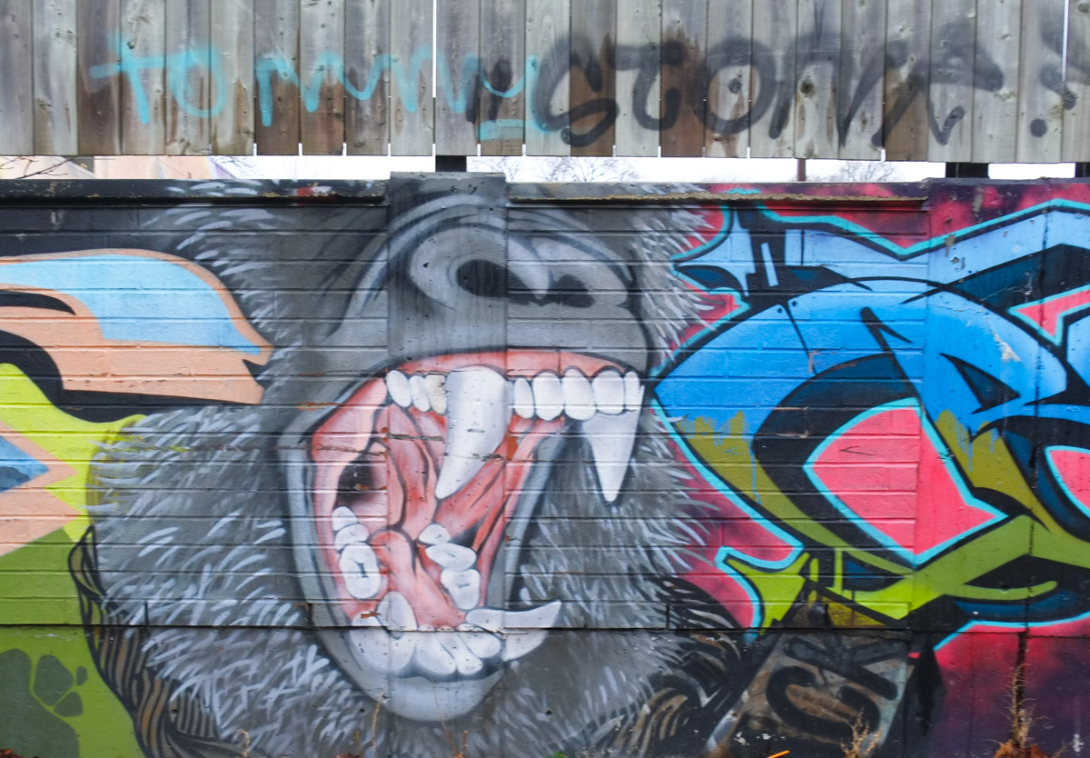
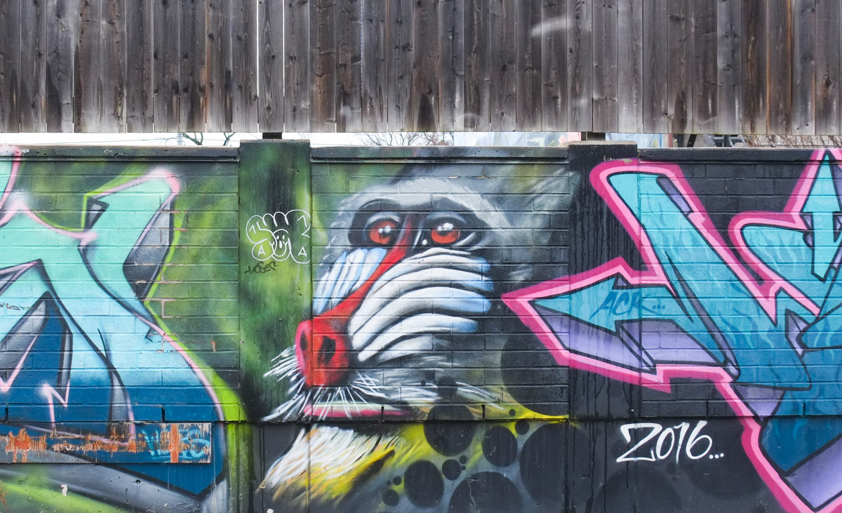
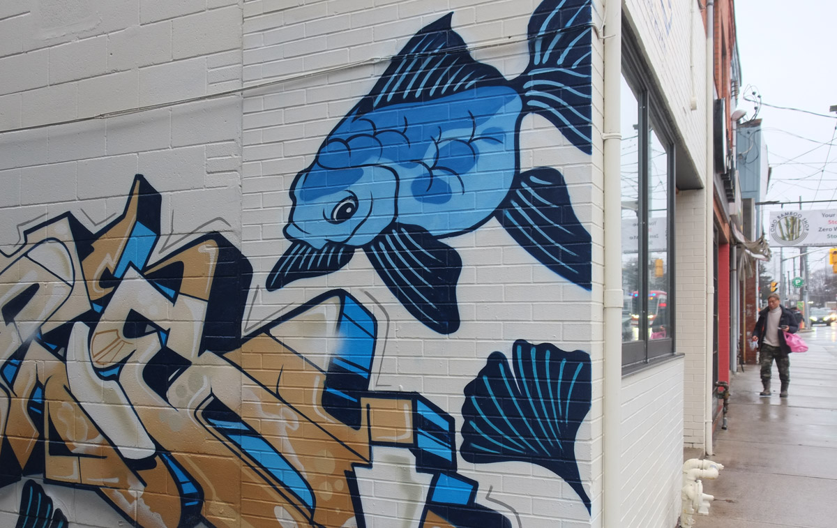
below: Painting by Rowell Soller on Queen Street

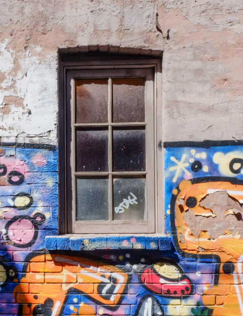
below: From under the scaffolding in front of the Dominion Pub.

below: The front entrance of the Magic Building on Sumach Street, south of Queen (that’s the ivy covered one a few photos above).

below: Not only does the building have a lot of ivy on its walls, it also has a painting by Elicser Elliott with a red-capped man at ground level.
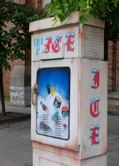
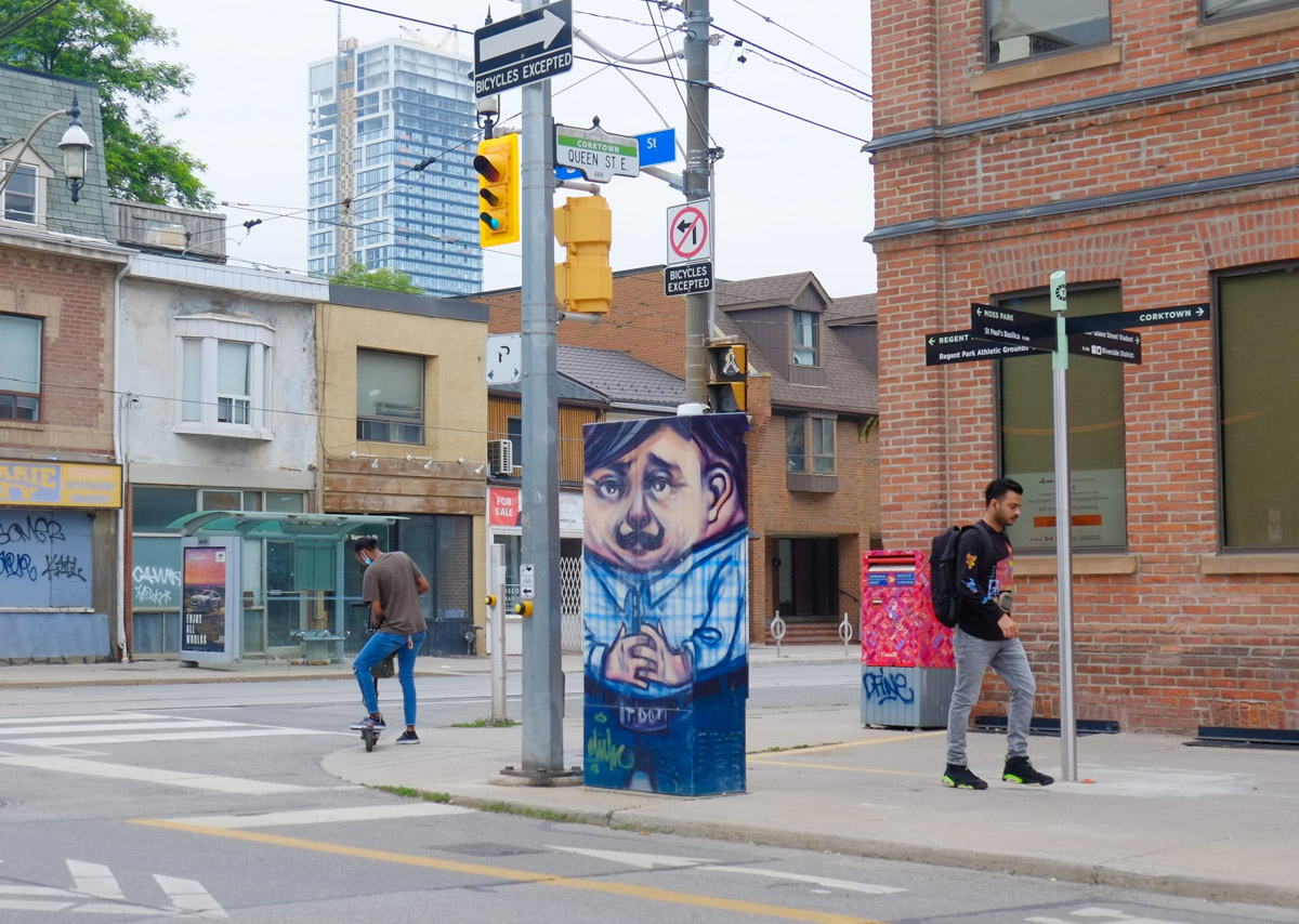
below: The box on the sidewalk across the street from the wizard painting has also been decorated by Elicser Elliott.
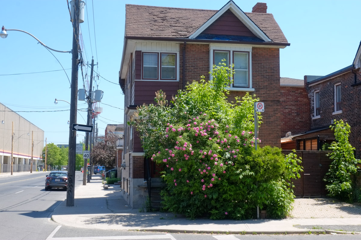
If you walk south on Sumach, it is a short block to King.
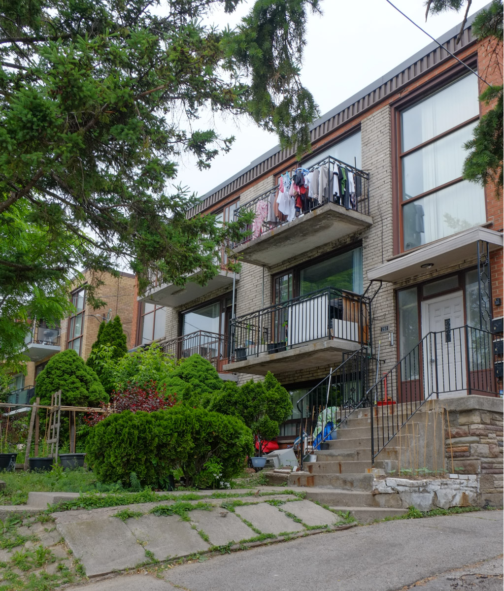
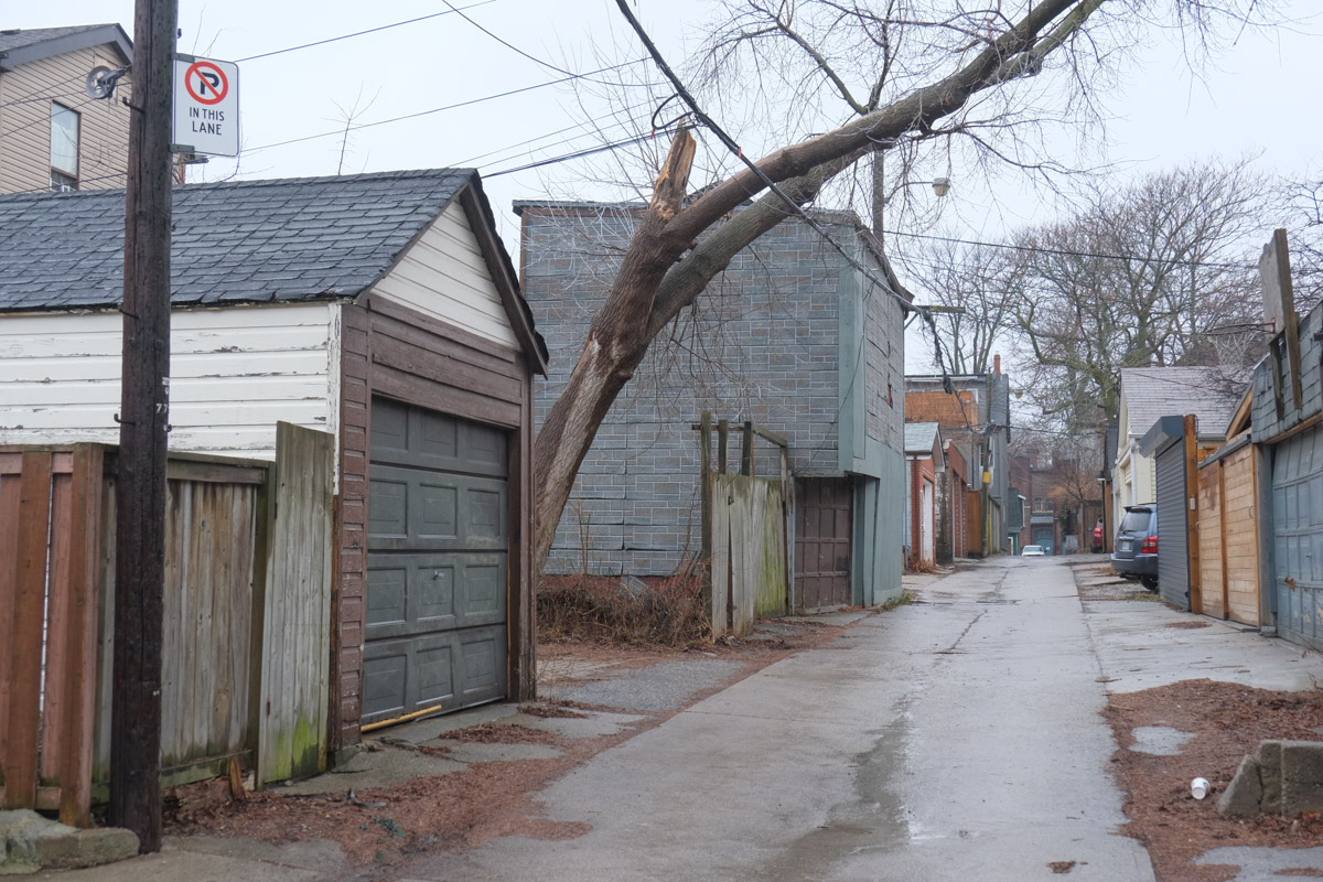
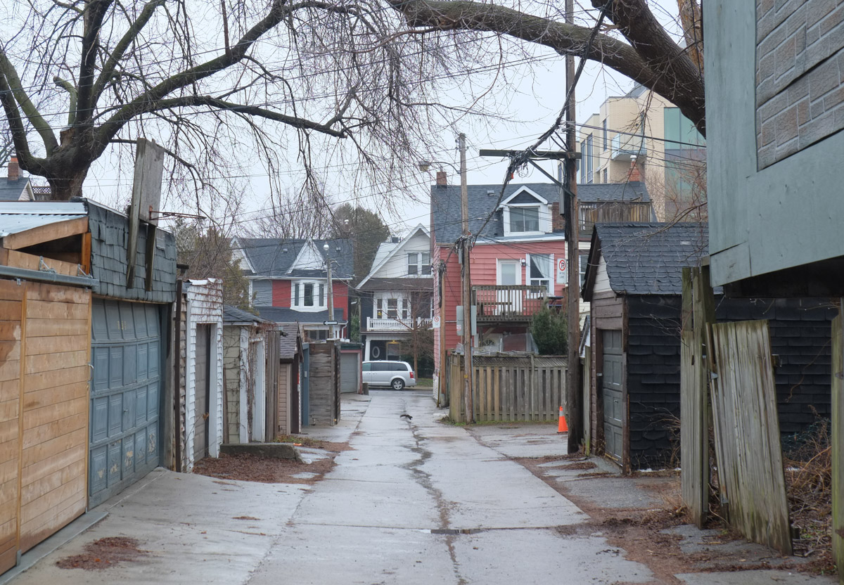
below: Looking down the alley to another street of row houses, Ashby Place, with newer Corkdown developments behind that.

below: A closer look at a couple of the houses on Ashby Place – they’re small!

below: This is the northeast corner of King and Sumach. This intersection has more than 30 of poles, or at least I lost count at 30. Most of them are for the 504 streetcars.

below: Southeast corner of King & Sumach… a mix of old and new
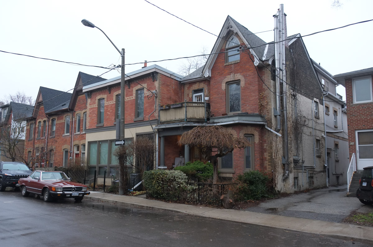
below: On the northwest side of the intersection are a couple of old brick houses that still survive.

below: When I looked for old photos of the area, I found this one…. If I am not mistaken, it is the same location as the photo above but from a different angle. The building that looks like it’s going to collapse any minute has been replaced by Central Auto. On the right hand side of this photo there is a striped brick building in the background. This is a church at the corner of King and Bright.
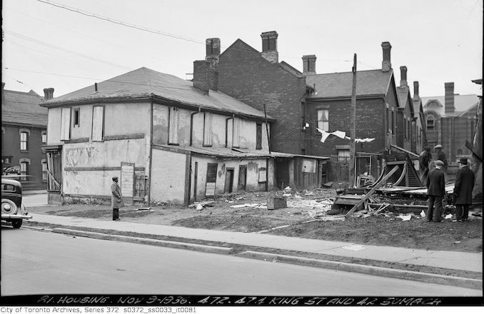
Housing – Nov 3, 1936, 472 and 474 King St. and 42 Sumach. City of Toronto Archives, Series 372,
South of King Street, Sumach curves to join Cherry Street at Eastern Avenue. As you travel south, Inglenook School is on your right. Between 1834 and 1890 this site was the home of Lucie and Thornton Blackburn, refugee former slaves from Kentucky who started Toronto’s first taxicab company. The school was designed by William George Storm (1826-1892) as Sackville Street School. Storm also added the tower to St. James Cathedral and designed the wrought iron fence around Osgoode Hall amongst other things.
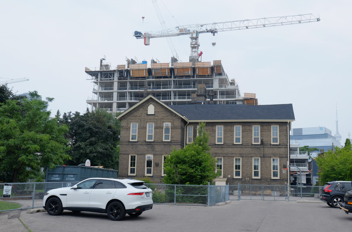
Inglenook School’s claim to fame is that it is located in the oldest continually-operated school building in the Toronto District School Board.
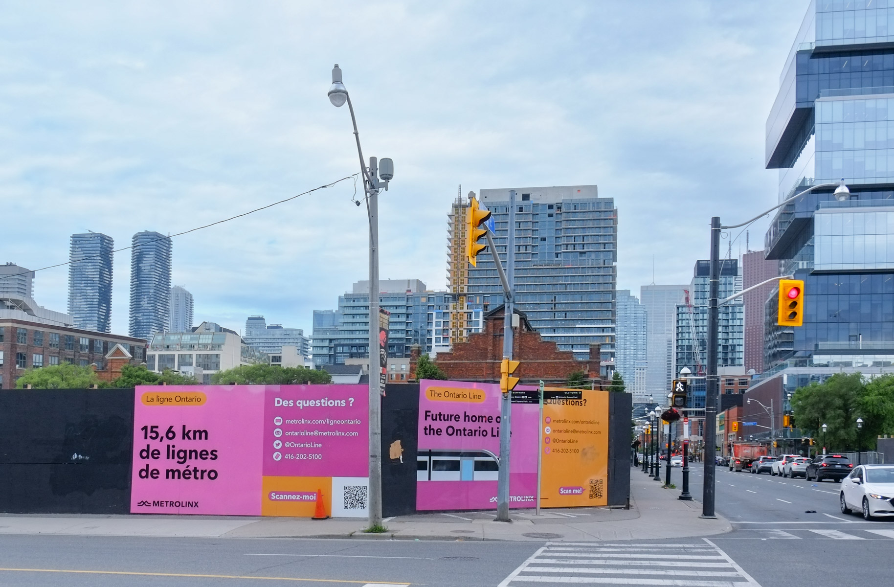
From here Sumach Street becomes Cherry Street. The Distillery District is the next attraction on the route before Cherry crosses the Lakeshore (closed at the moment) and heads through the Port Lands to Cherry Beach. But all that excitement will have to be found in other blog posts!