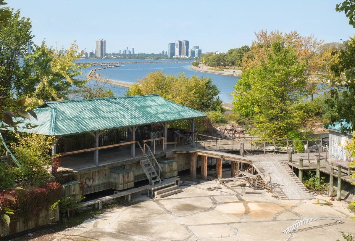
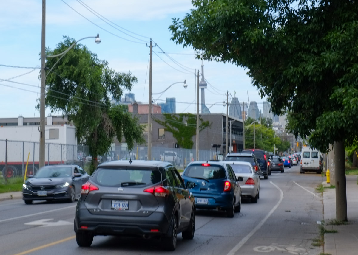
For the whole length of Dupont Street, from Avenue Road to Dundas West, the street runs parallel to, and south of, Canadian Pacific railway tracks. The proximity to the railway was a major reason that the street was home to many industries. Back in June I walked a section of Dupont east of Ossington (see Dupont Street Scenes).
A couple of weeks ago I explored west of Ossington and I’d like to show you a few pictures from that walk. The last part of the walk was a wander through some of the streets and alleys south of Dupont.
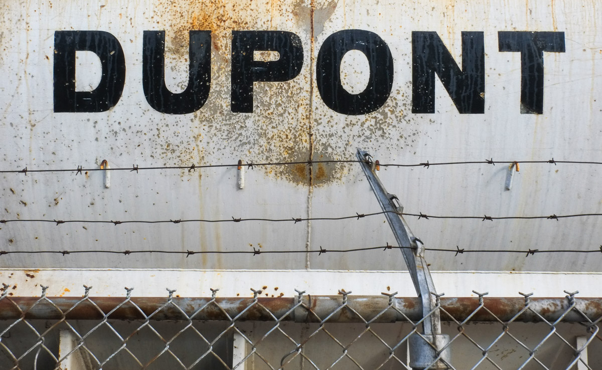
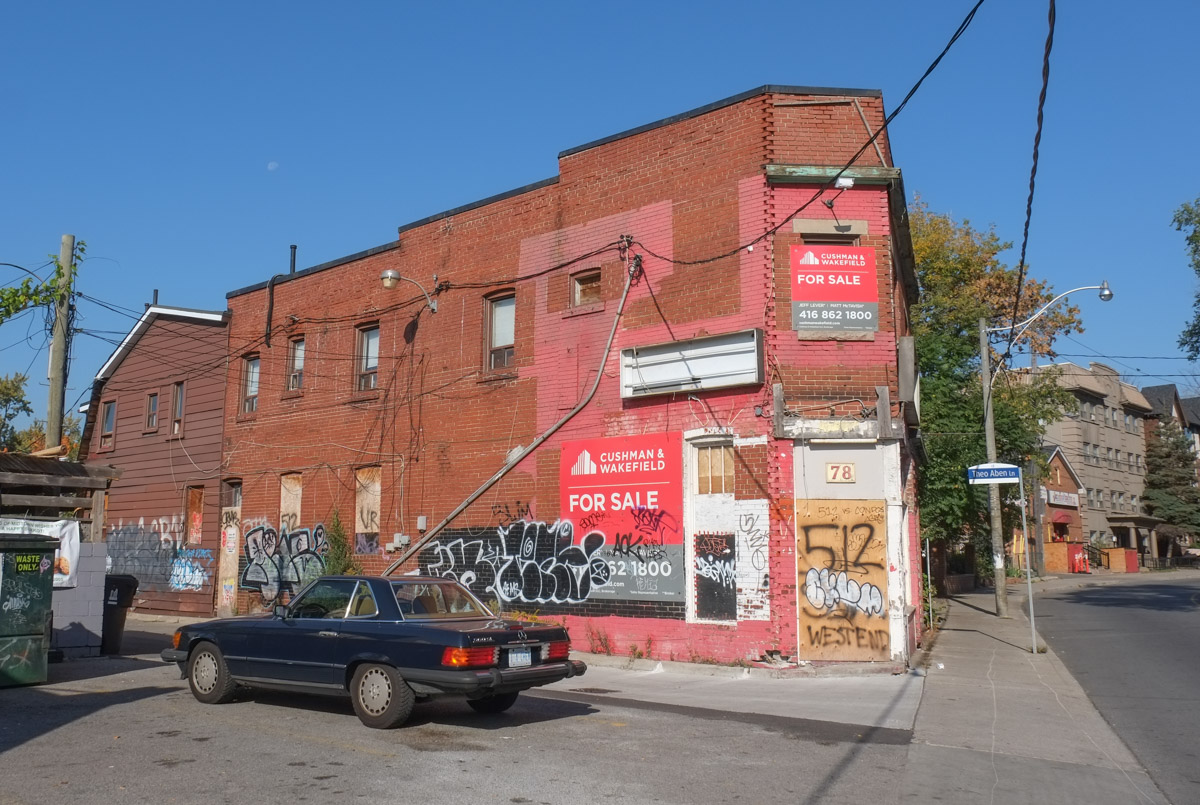
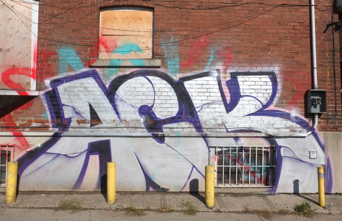
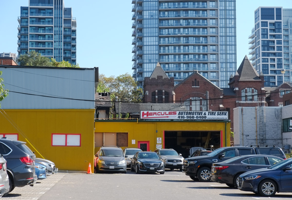
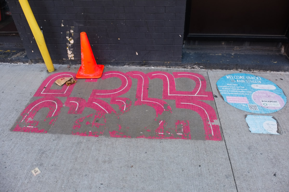
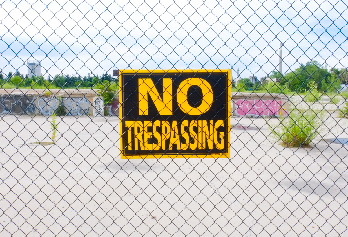
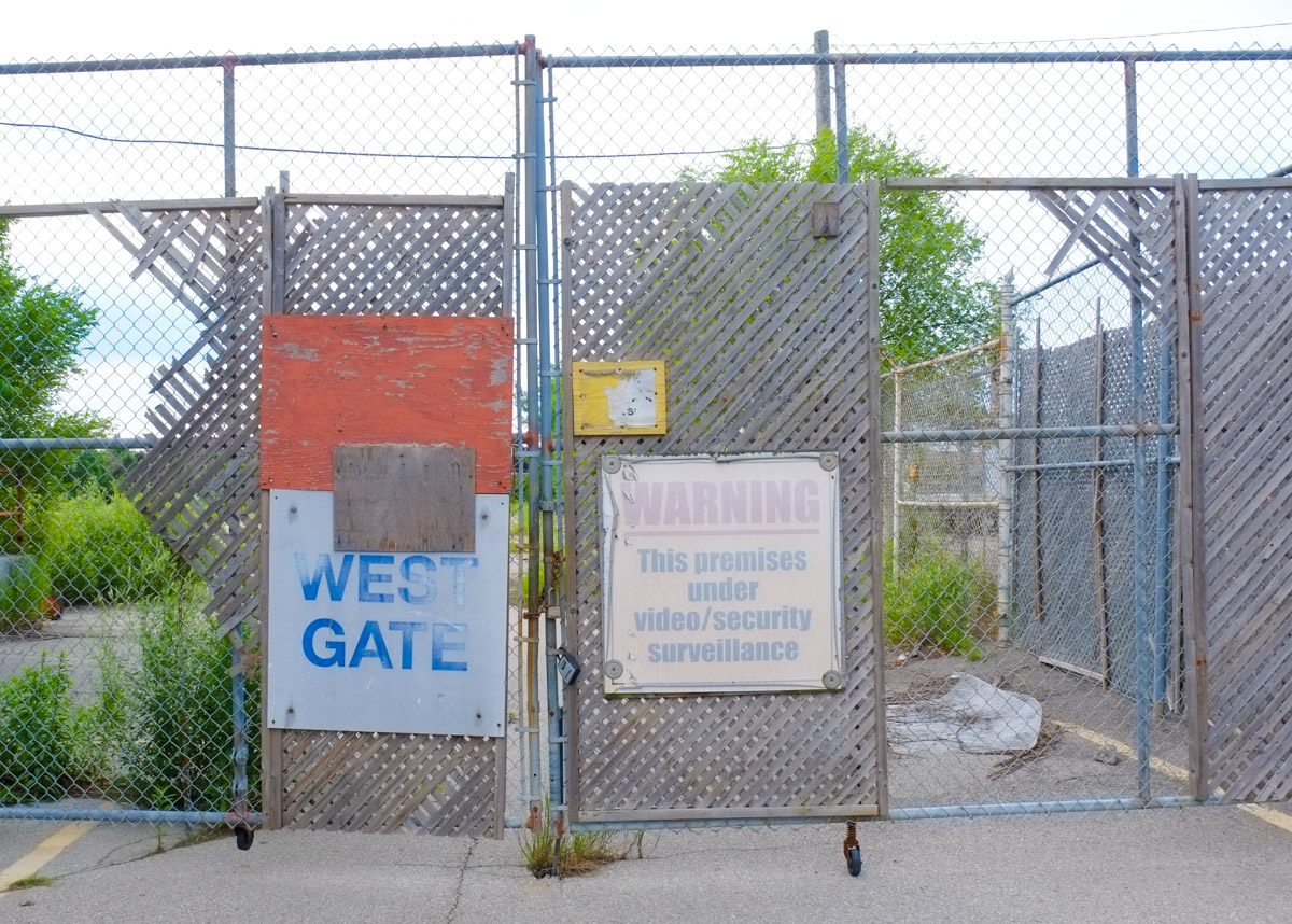
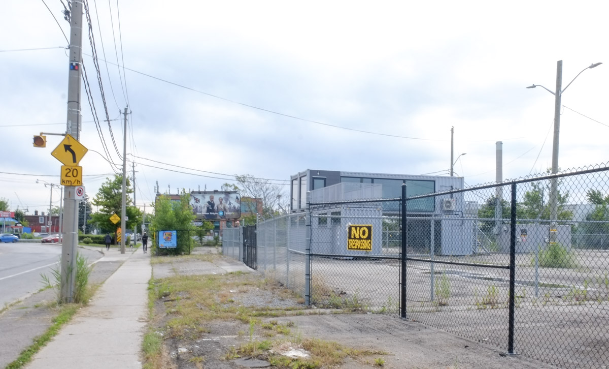
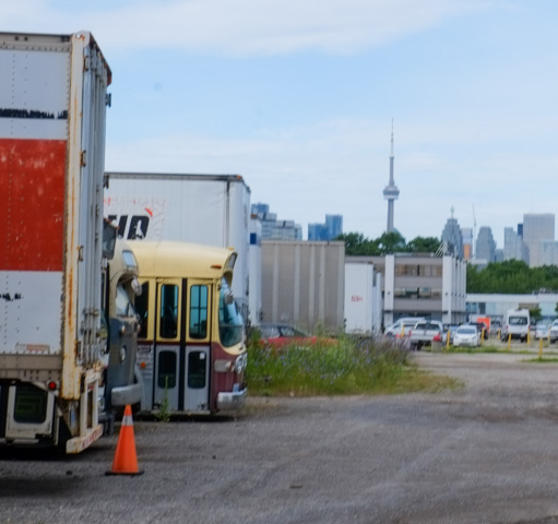
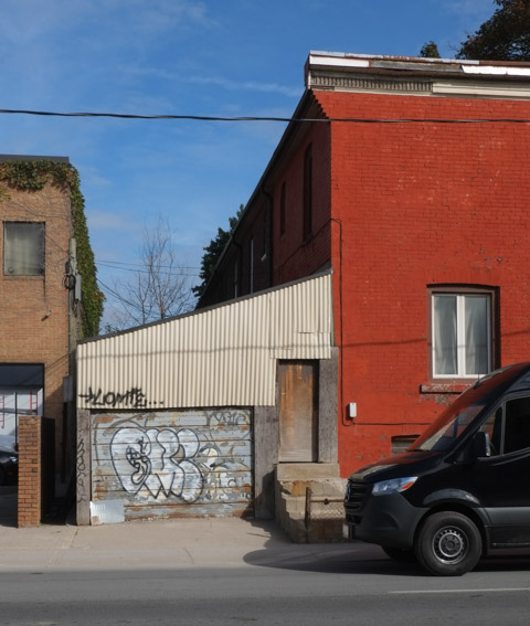
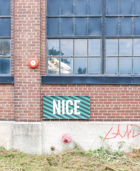
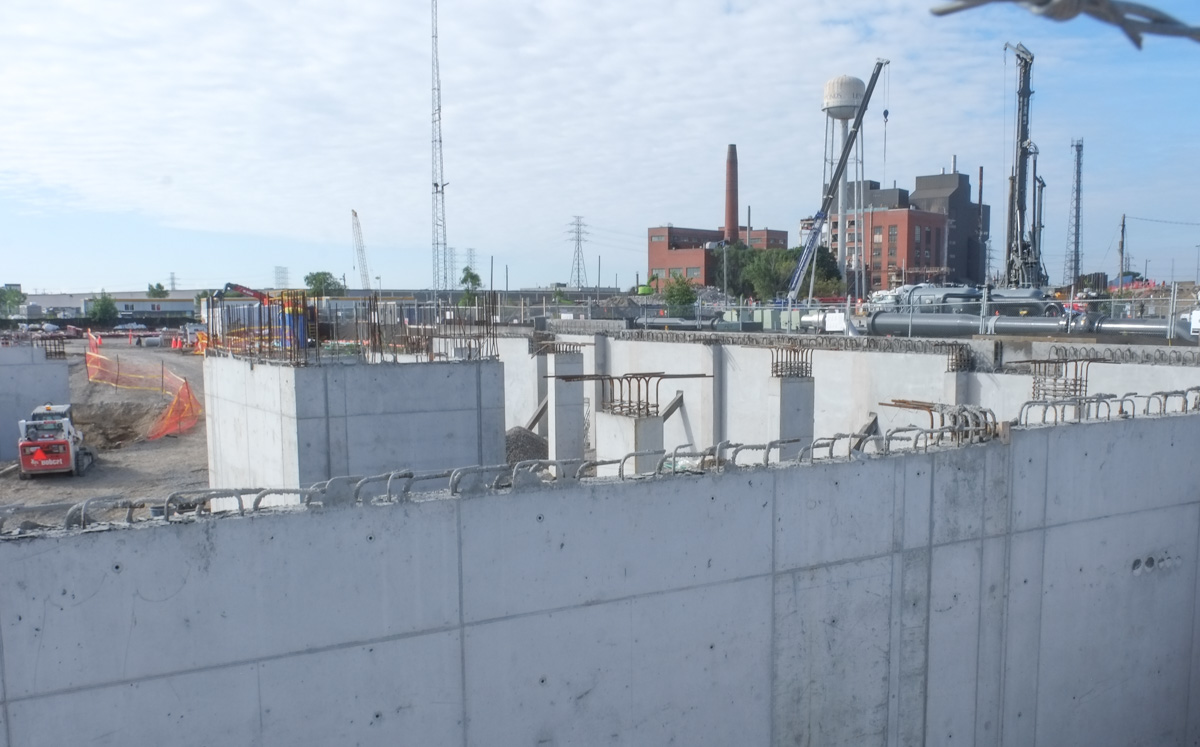
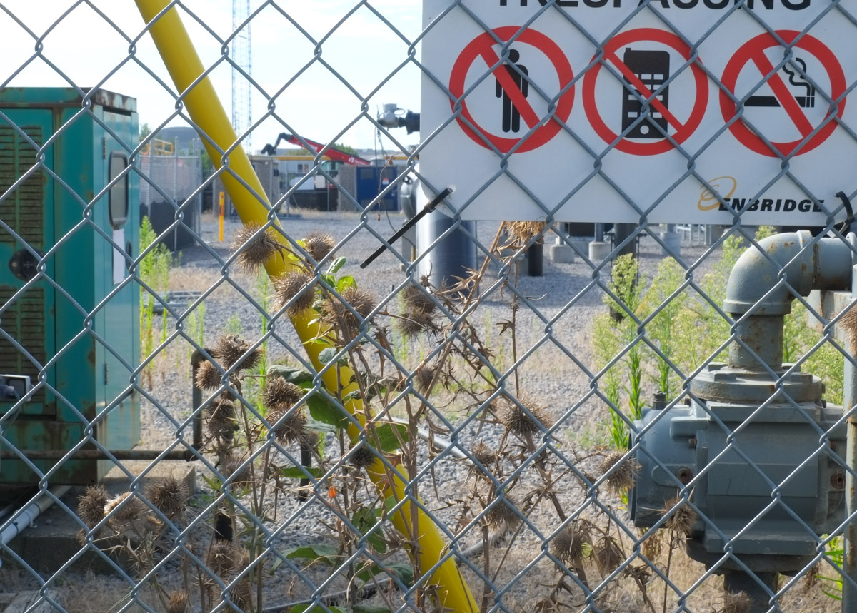
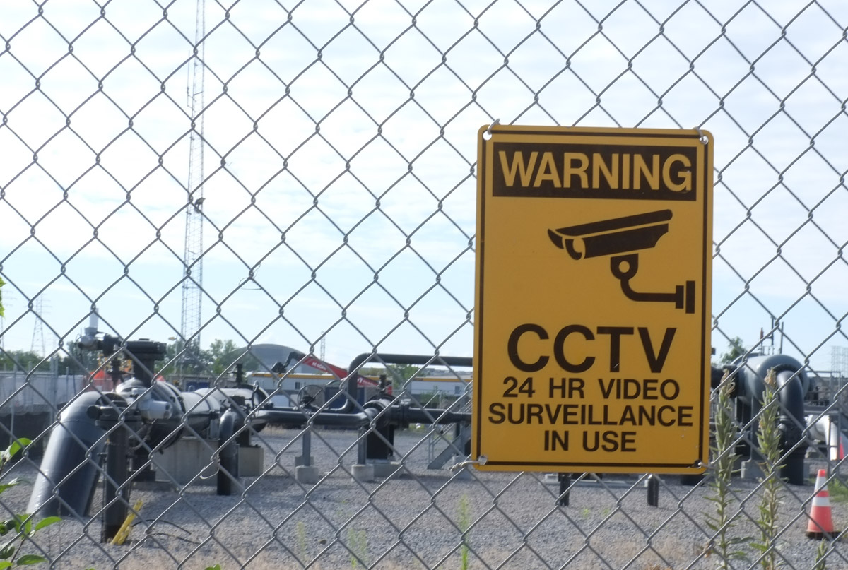
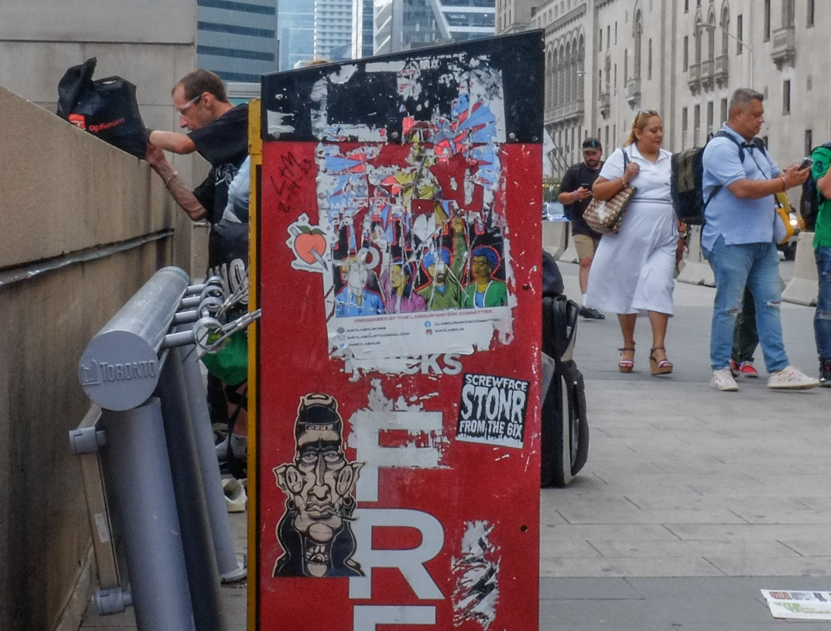
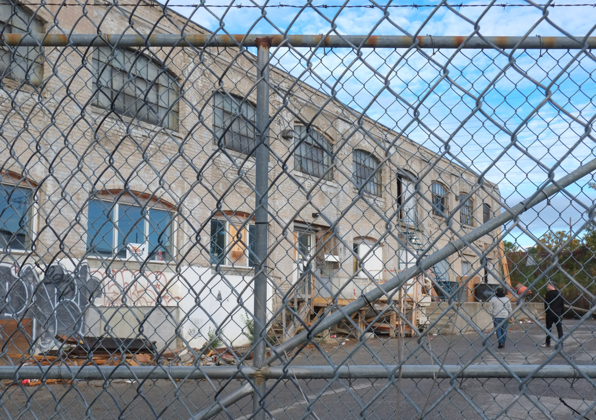
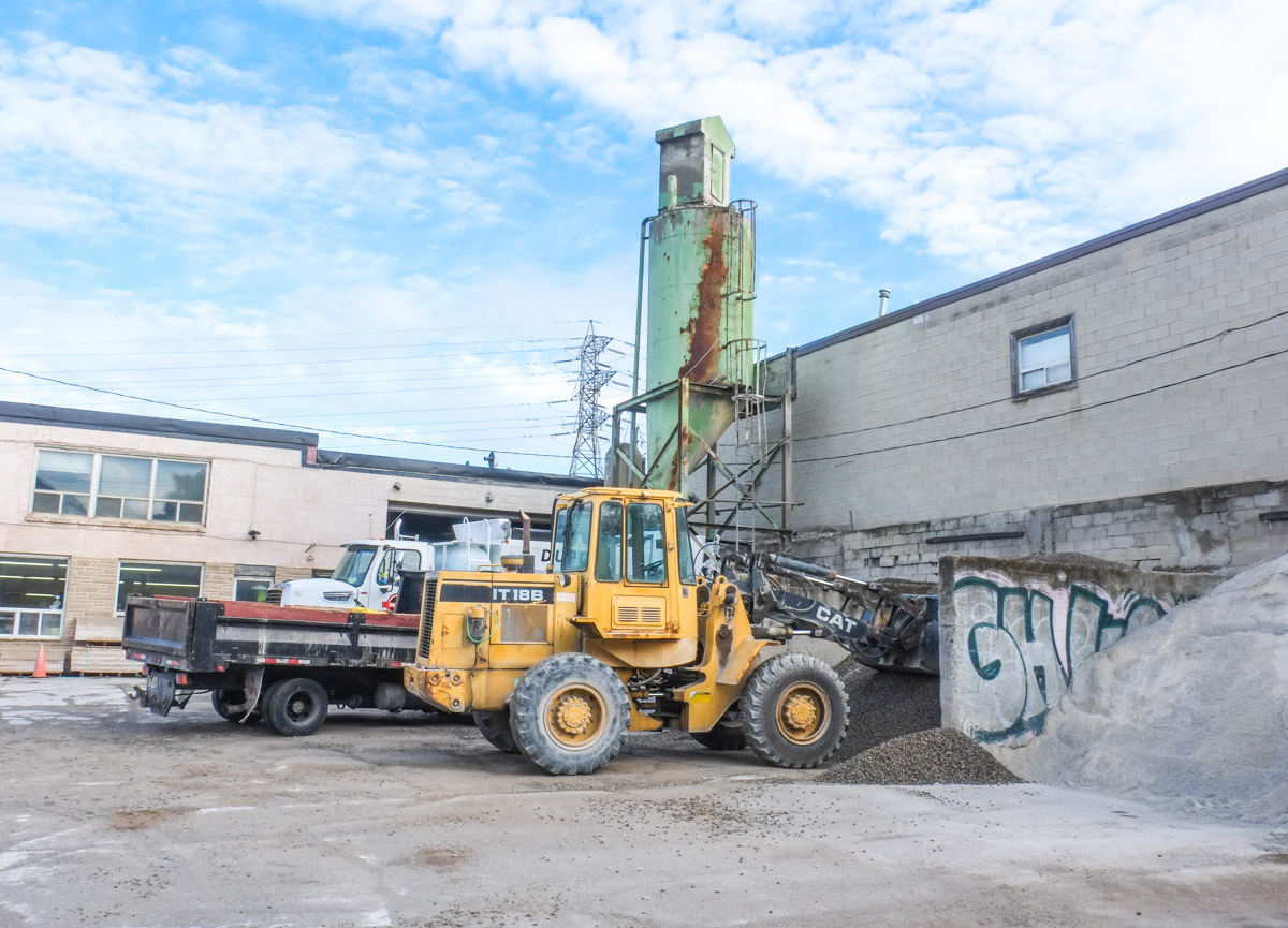
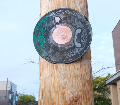
below: There are still a few reminders of Dupont’s industrial past…

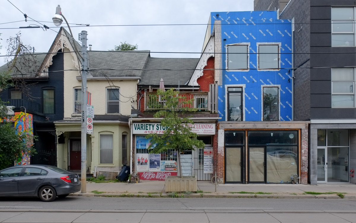
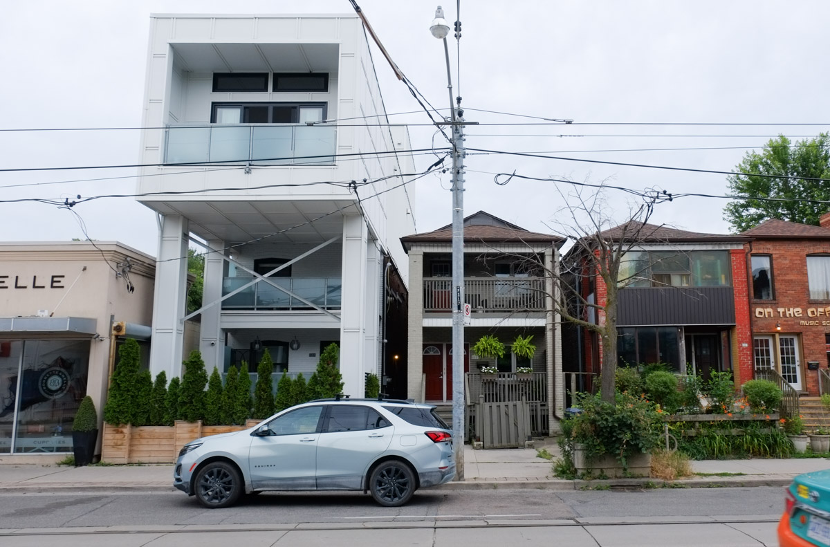
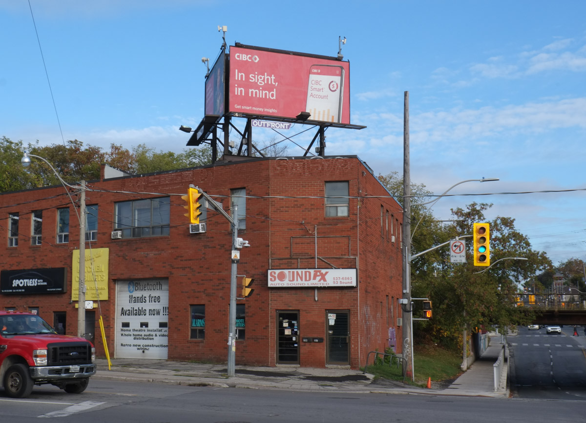
Dupont has always been a very mixed street with residences


and businesses side by side. A working class street.


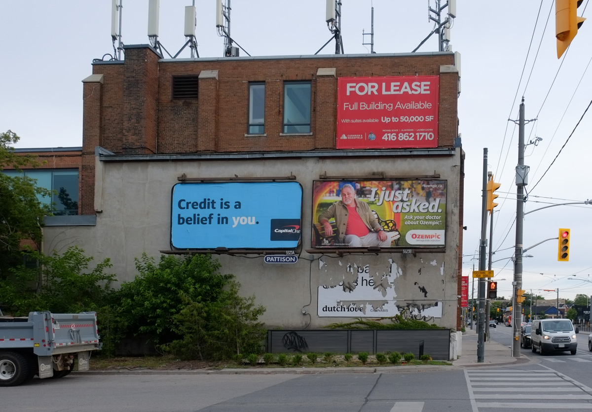
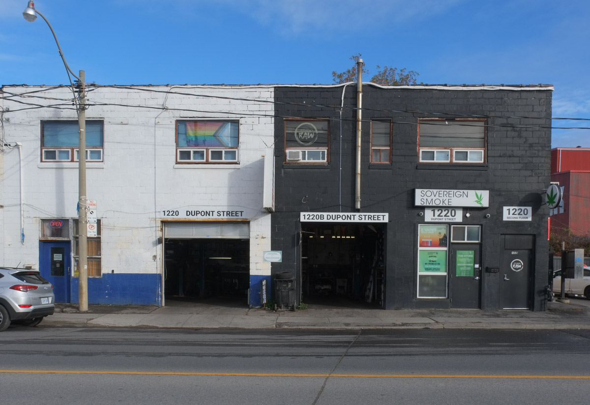
below: A more recent addition to the street – Sovereign Smoke (cannabis) sits beside the tire store (or mechanic).
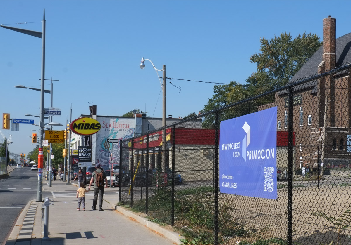
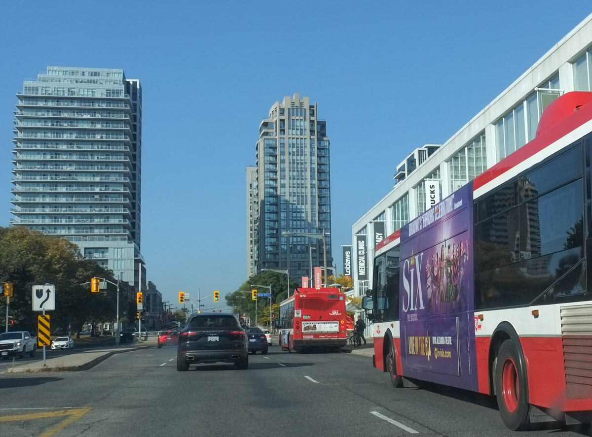
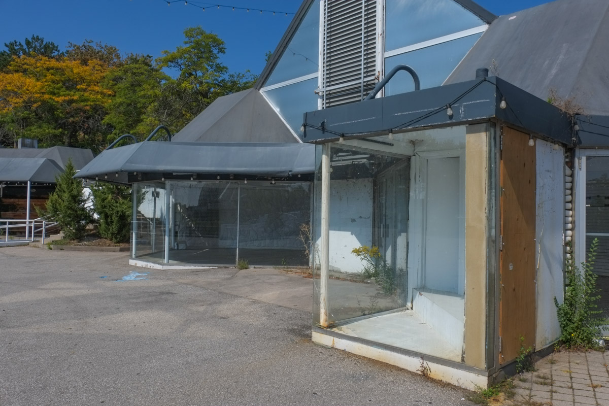
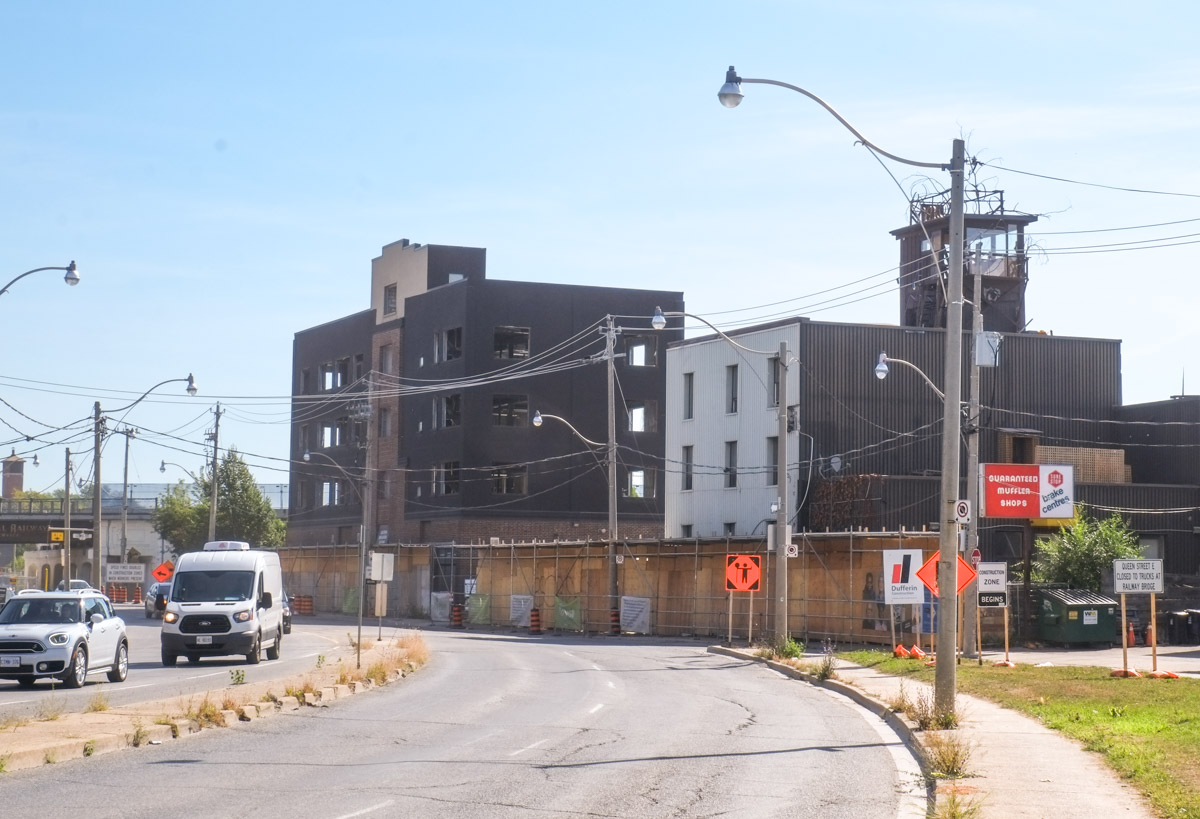
below: Looking west along Dupont towards Dufferin – where the Galleria Mall used to be there is now a wall of glass.

Same site, different angle


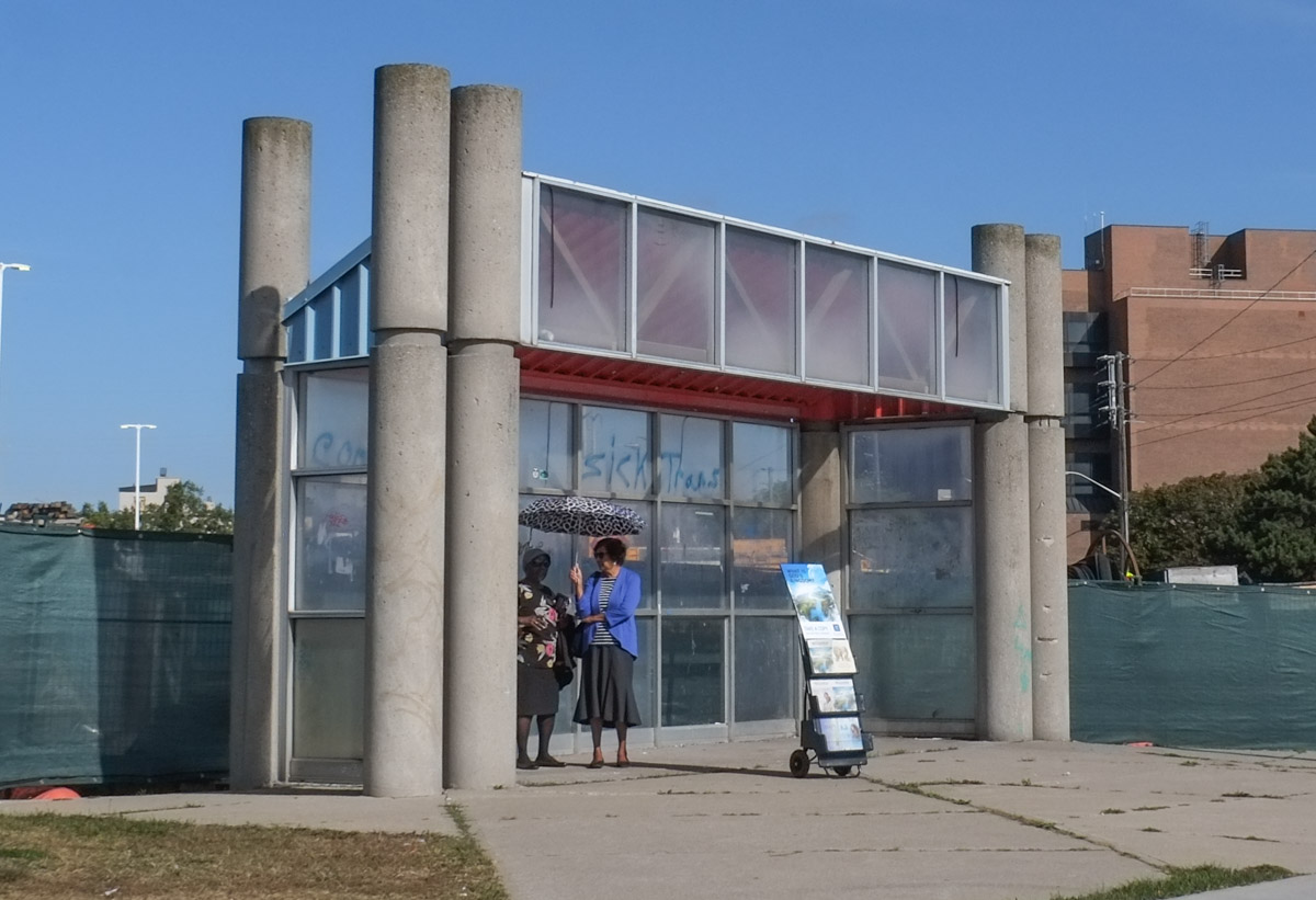
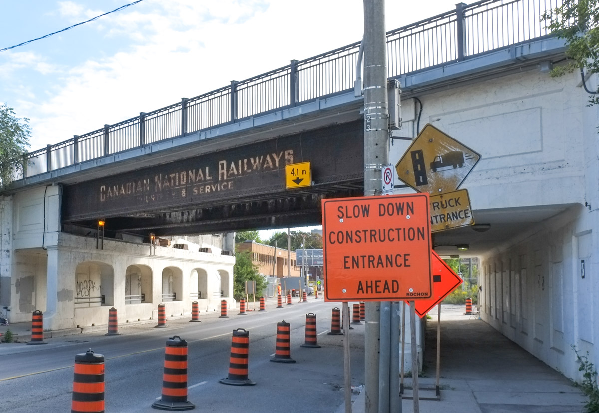
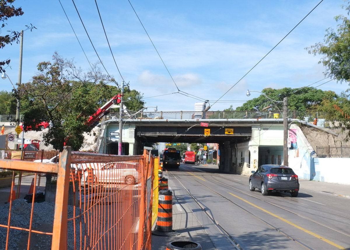
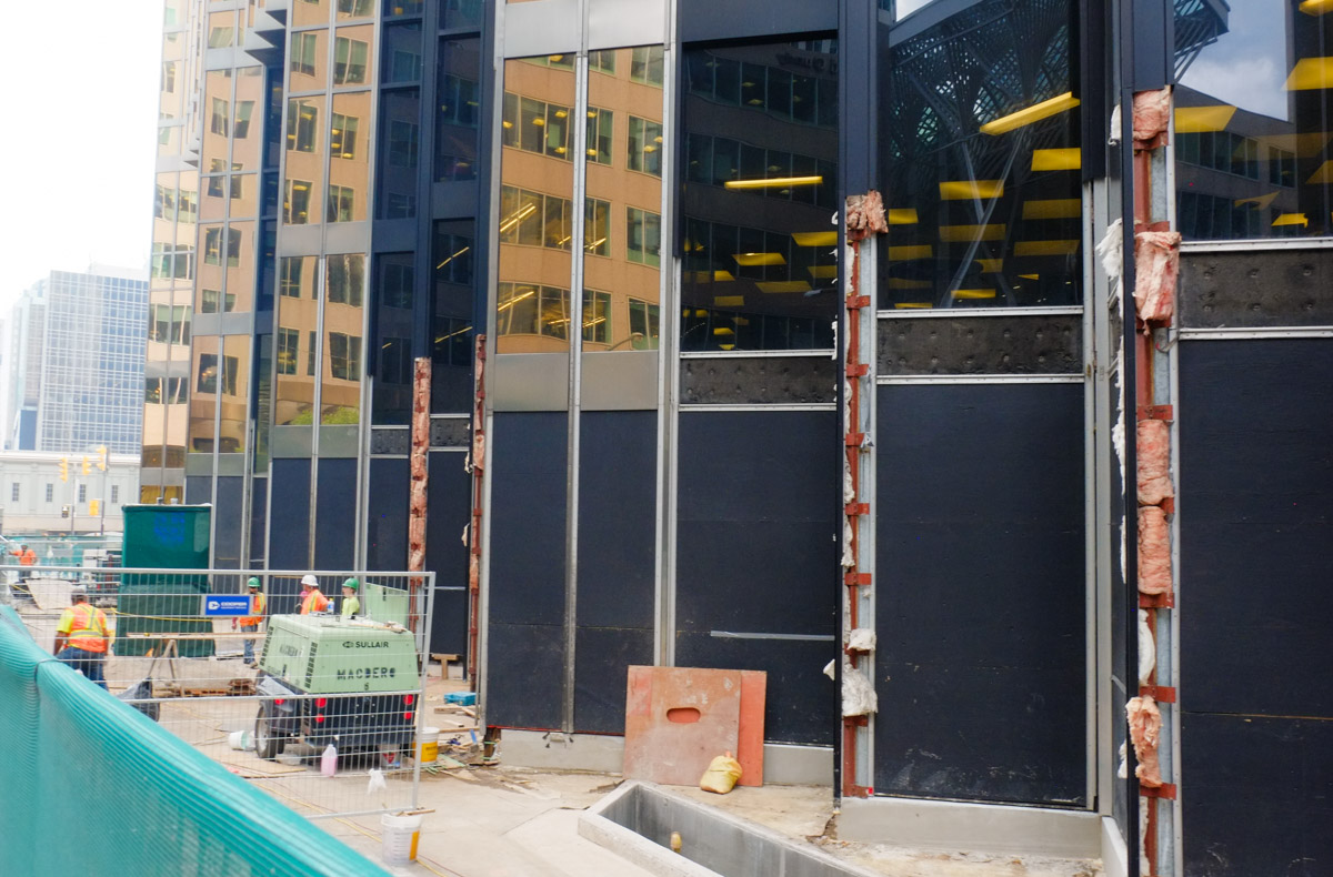
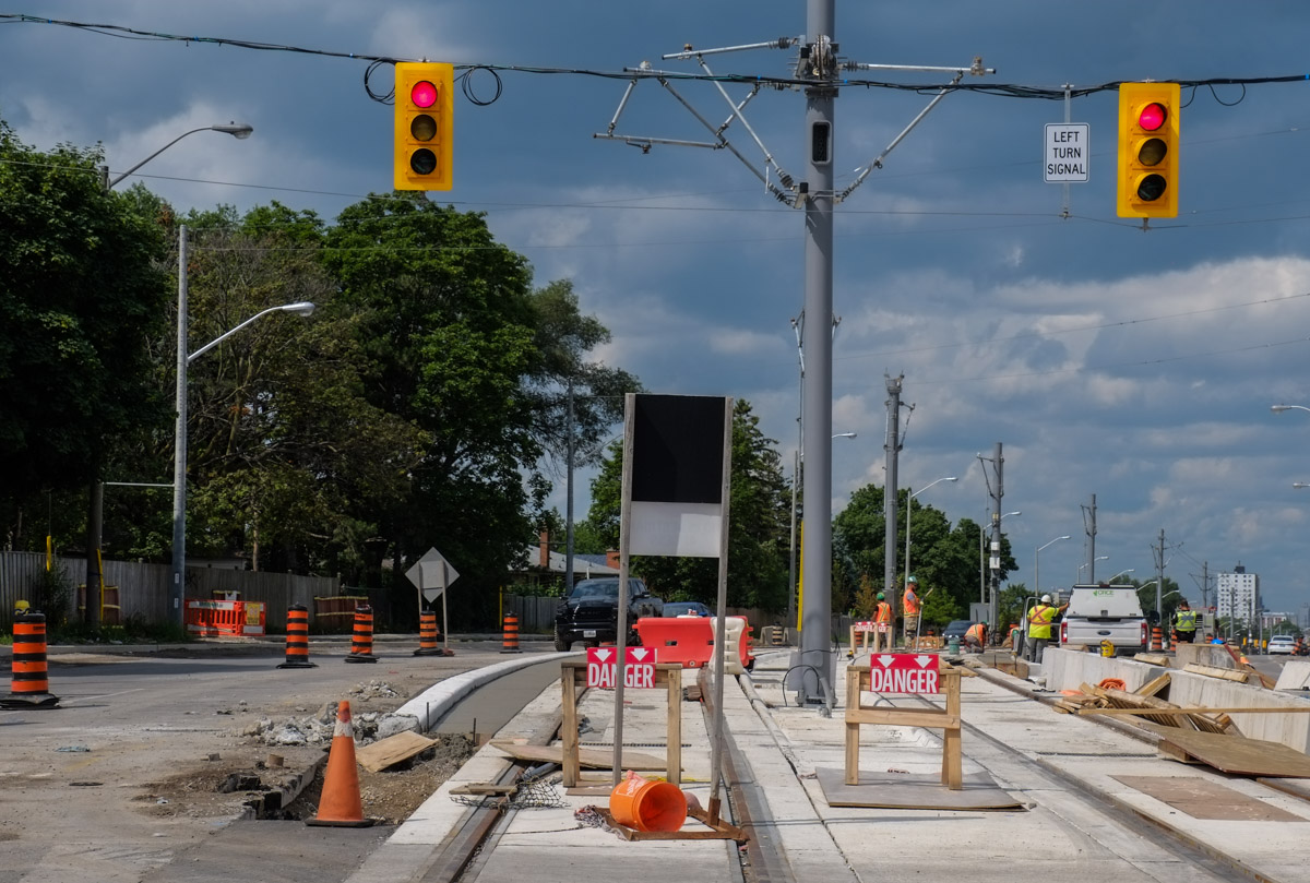
below: On the west side of Dufferin, the street is being reconstructed.

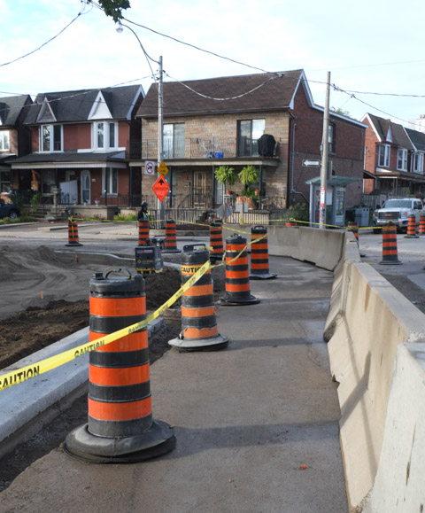
below:Re-routing the sidewalk on the south side of Dupont at Emerson
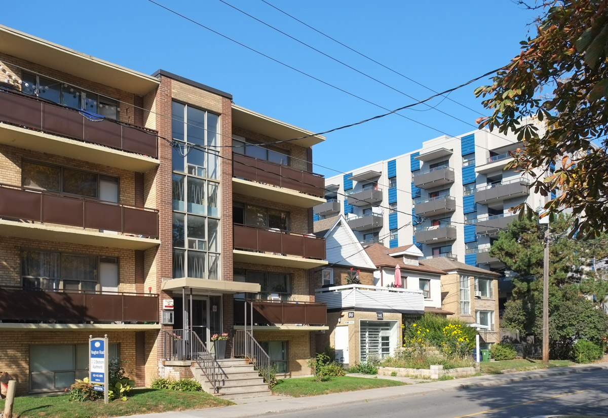
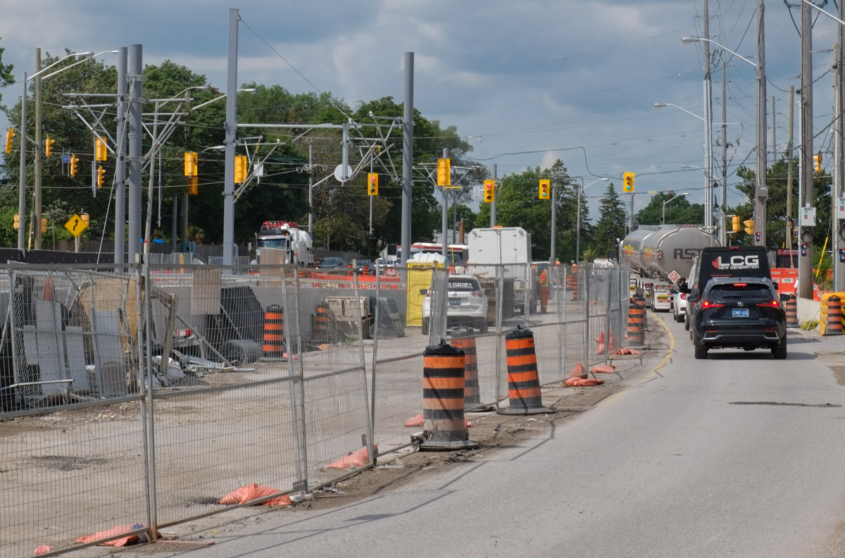
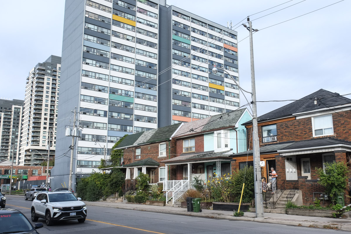
below: Looking west on Dupont at Emerson. The two tall buildings on the right are on the north side of the railway tracks. The apartment building in the center of the photo was built in the 1960s or 1970s.

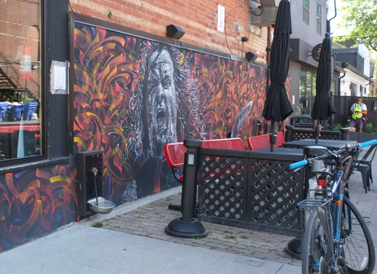
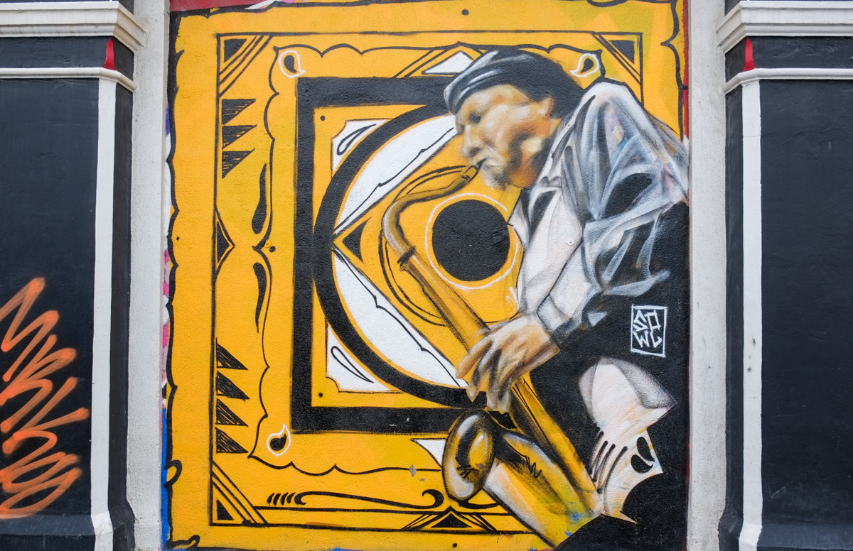
below: A colourful mural by Jacquie Comrie

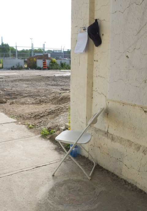
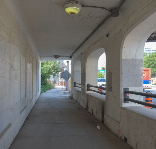
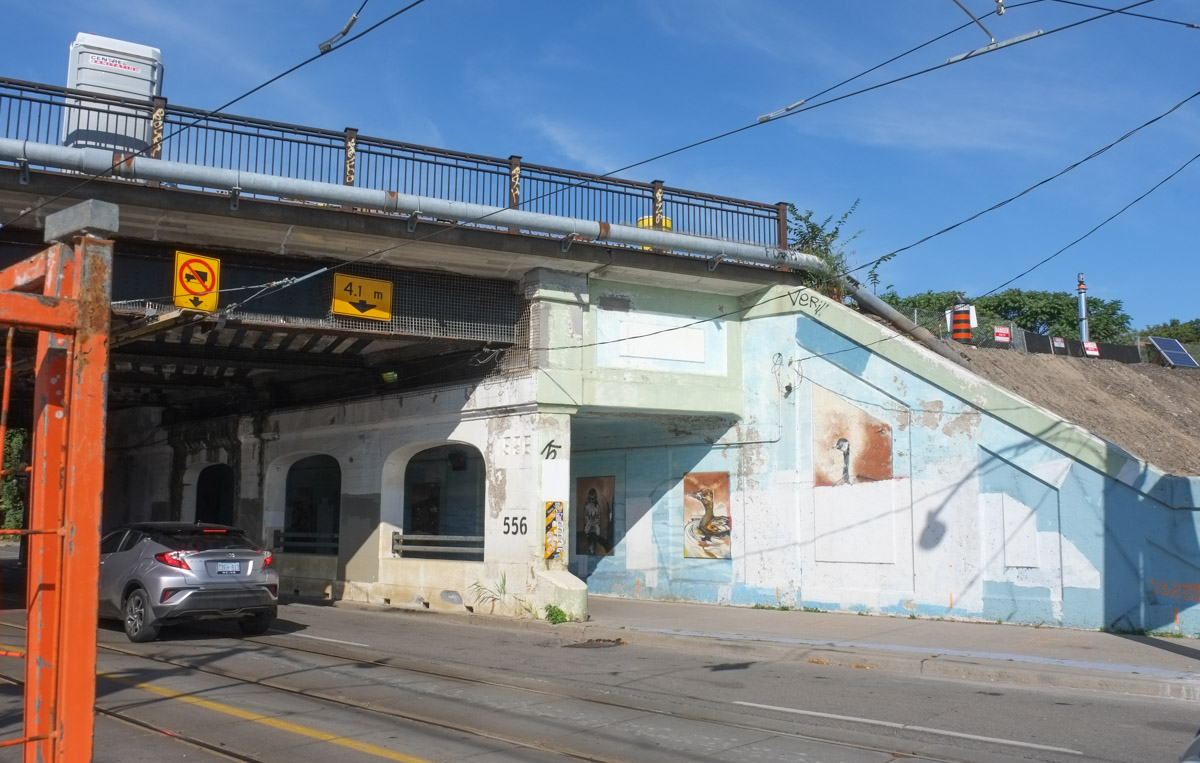
below: Under the tracks near Lansdowne.
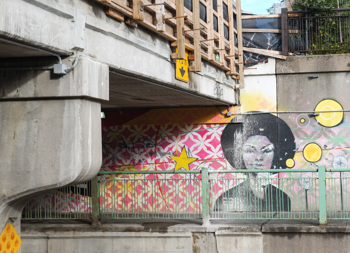

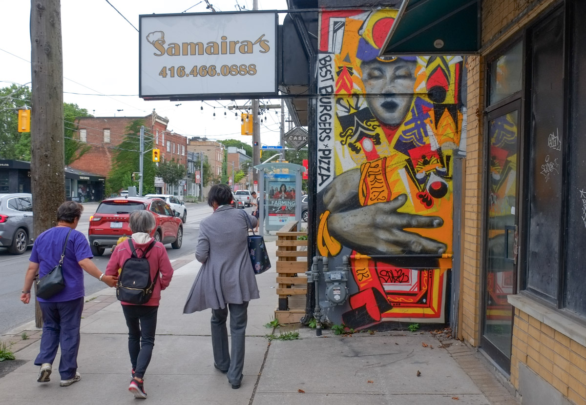
The “Suitman” Mural was first painted and funded with $2000 received from the City of Toronto’s Clean and Beautiful program. But after Rob Ford was elected mayor of Toronto in 2010 and began his own “clean up” campaign, it was painted over with dull grey paint. Not a bright move considering that Joel Richardson was paid by the city to paint it in the first place. Late in October 2011 it was replaced with a similar mural as seen here. It took six weeks to repaint, 25 gallons of paint were used along with 100 large cans of spray paint. Photos of the whole mural (on both north and south sides of the street) from 2011 and 2013 are on a previous blog post.
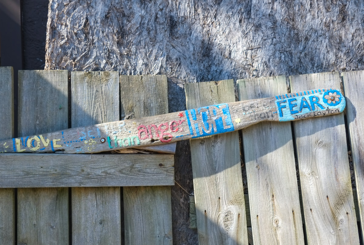
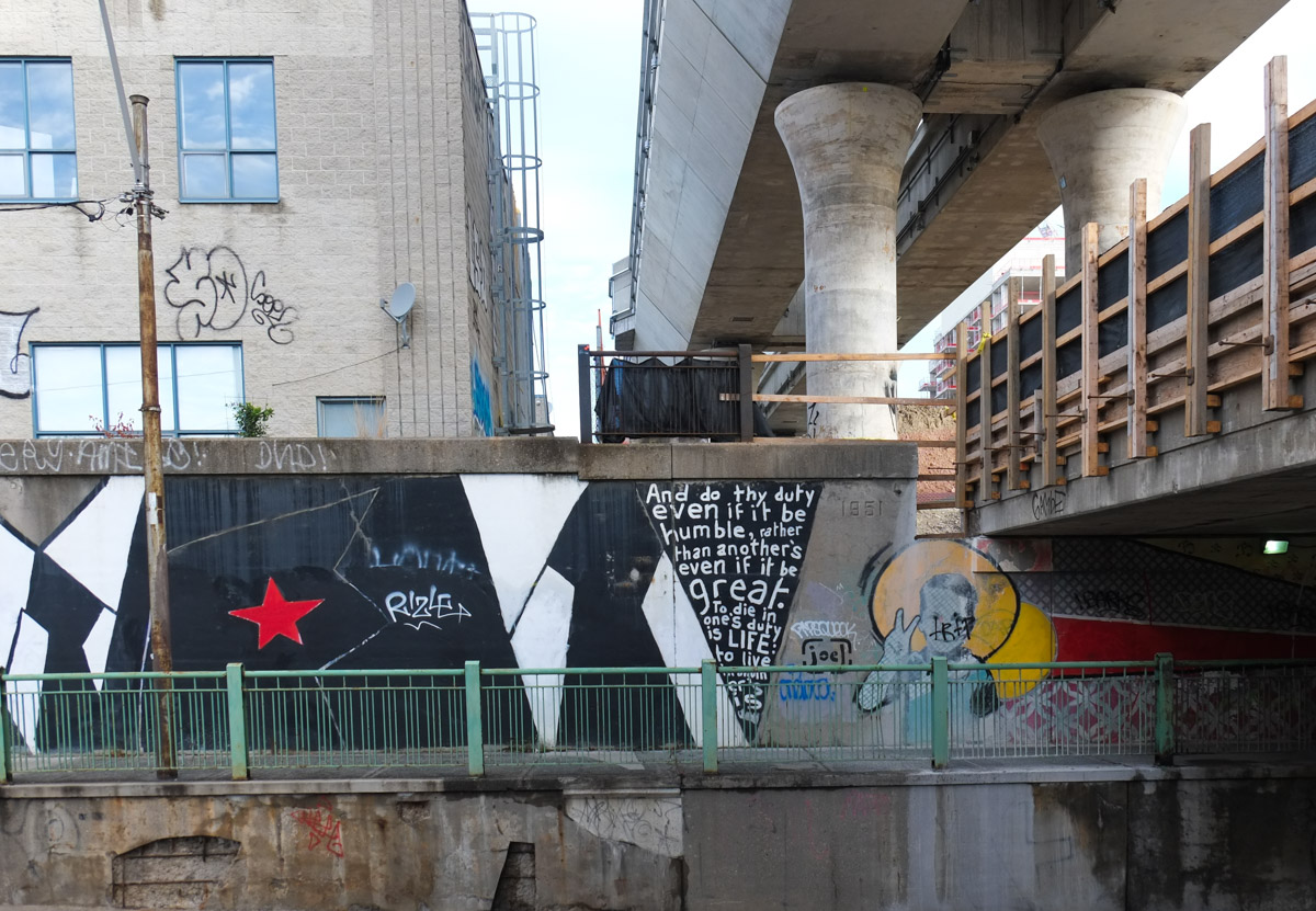
below: “And do thy duty even if it be humble, rather than another’s even if it be great. To die in one’s duty is LIFE: to live in another’s is death.” [quote from the Bhagavad Gita, a 700 verse scripture that part of the Hindi epic ‘Mahabharata’]
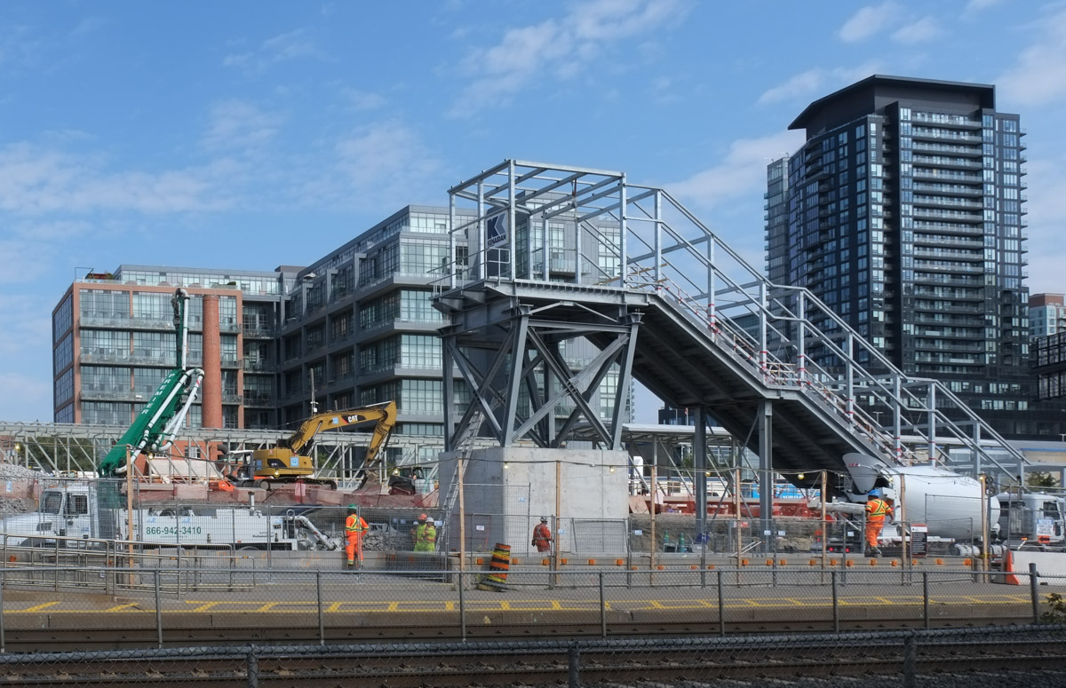
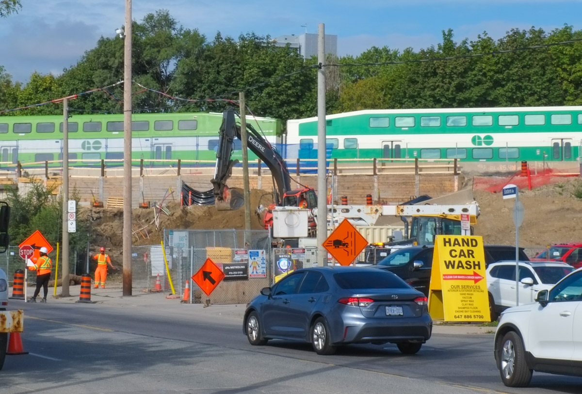
below: A GO train passes over the new elevated section of the tracks as it crosses Dupont Street. This is the Davenport Diamond Grade Separation project on the GO line to Barrie.
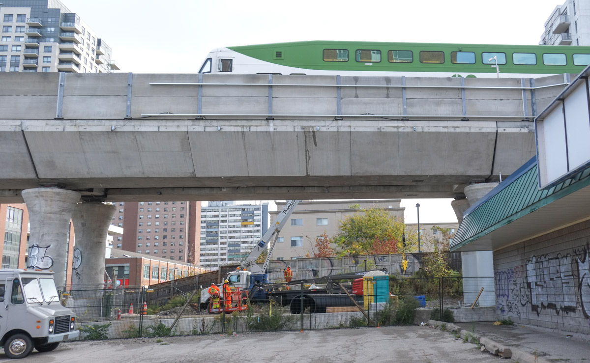
below: Looking north from Wallace Ave (towards Dupont) at the south end of the 1.4 km of elevated track. Although the tracks are functional, the streets and paths below are still a work in progress.

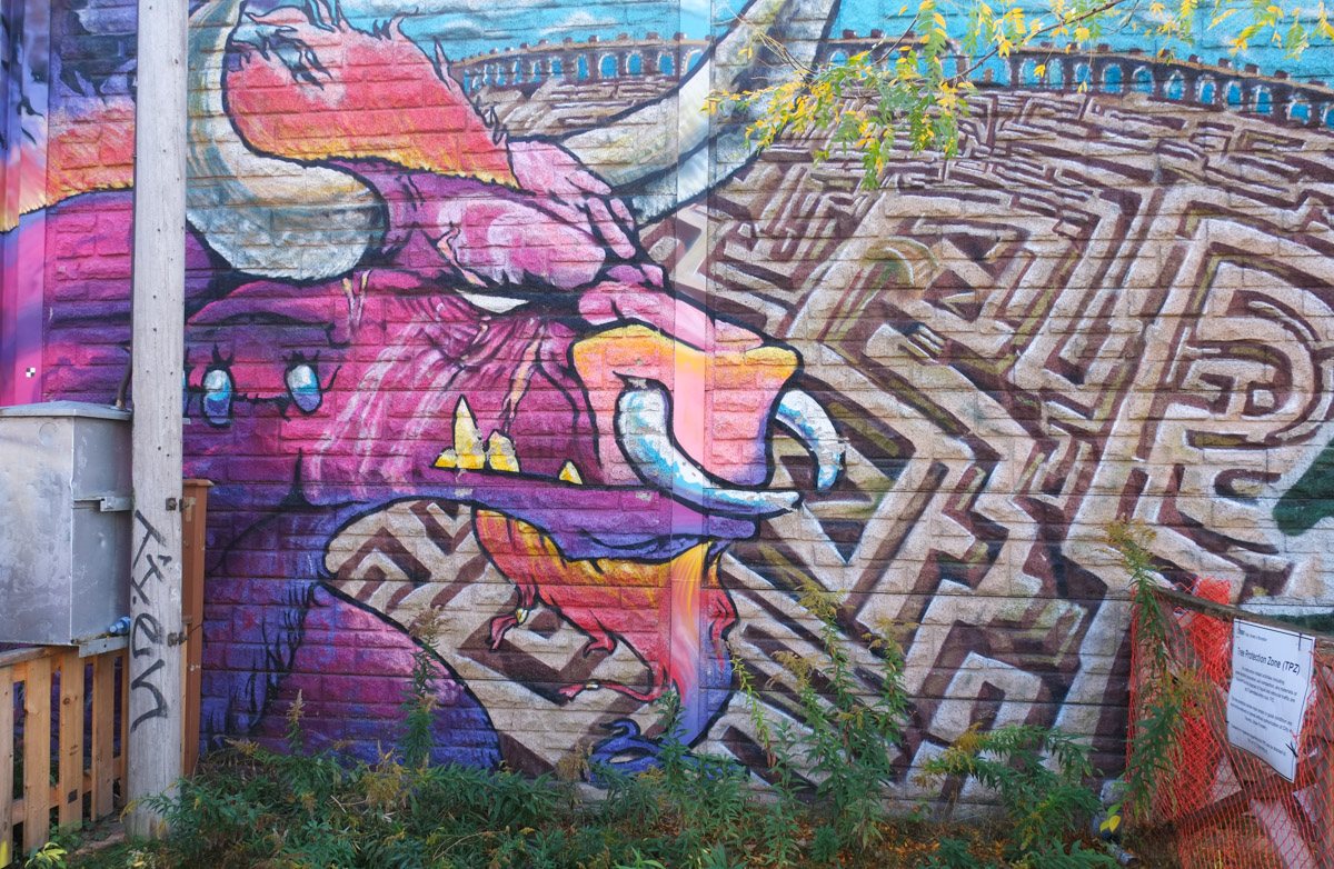
below: (On Wallace by the new elevated tracks) A bull and a maze makes me think of the story of the Minotaur, a creature in Greek mythology with the body of a man and the head of a bull. The maze, or labyrinth, was made for King Minos of Crete to hold the Minotaur.
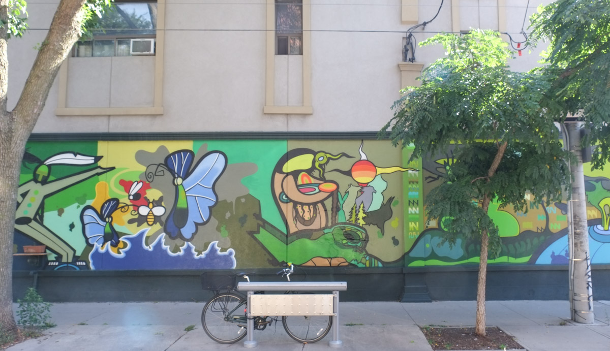
below: Around the corner from the bull is a mural by Emily May Rose. It faces the tracks on what is now a vacant piece of land – shall see what becomes of it.

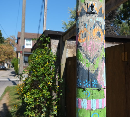
below: An old “Stop Harper” sticker – topsy turvy but still hanging in there. Almost as old and worn as the railing below it.

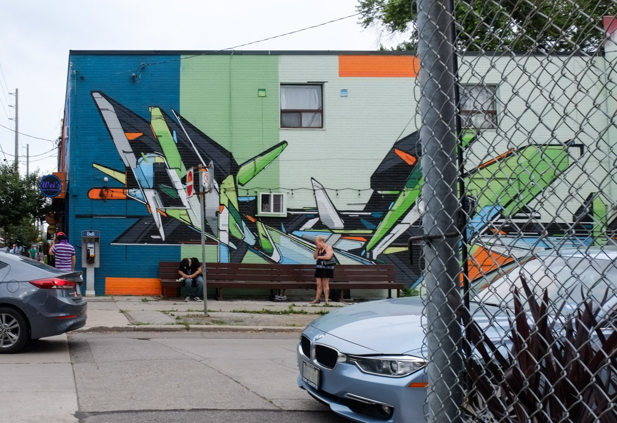
The “Strength in Numbers” mural at the next underpass to the west (by the West Toronto Railpath) has been tagged over. The link leads to a blog post from July 2016 if you are interested in what it looked like when it was newer.
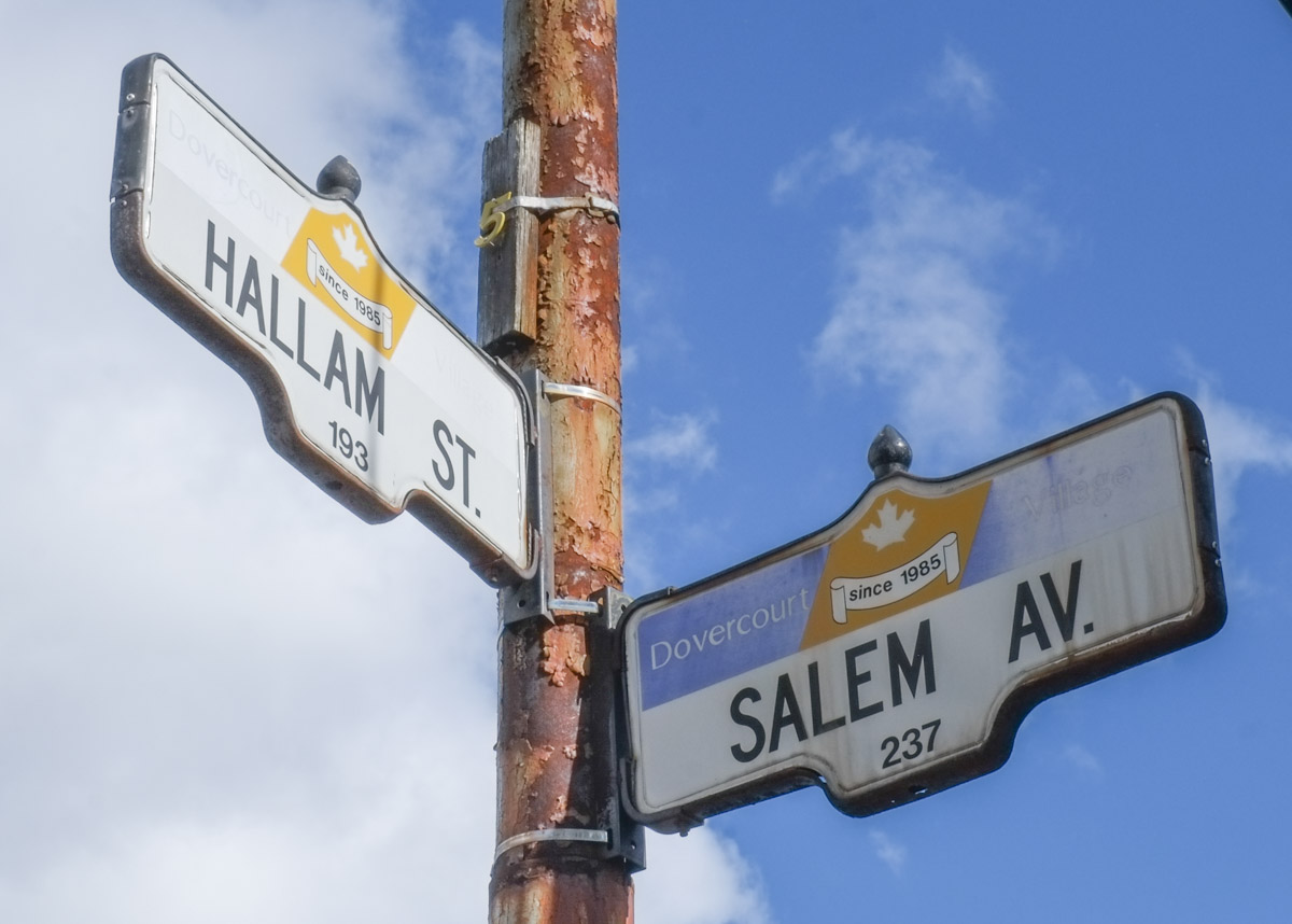
below: Dovercourt signs with a maple leaf in the center. “Since 1985” refers to the founding of Dovercourt Village which is south of Dupont to Bloor between Christie on the east side and Dufferin on the west.
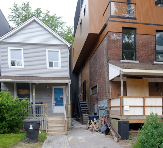
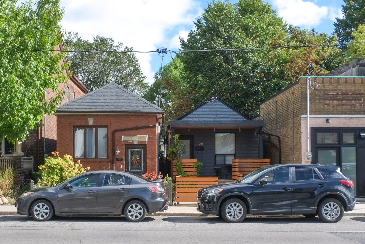
below: Alley infill – a tiny house!
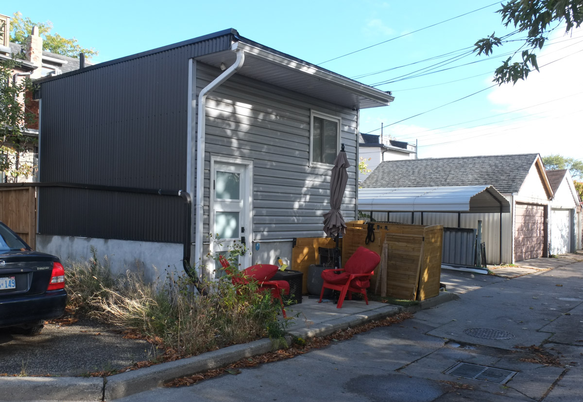
and other small houses too.
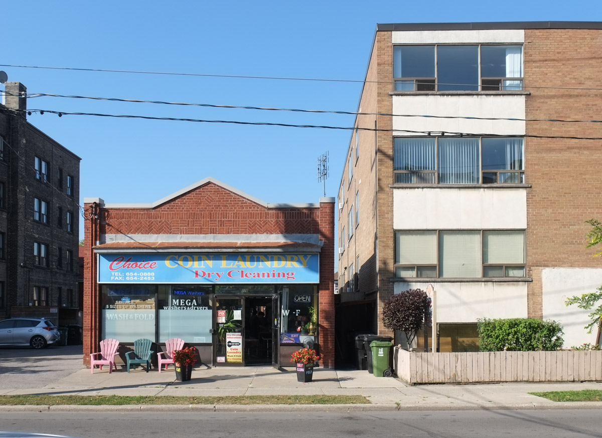
below: Santo Antonio Coin Laundry
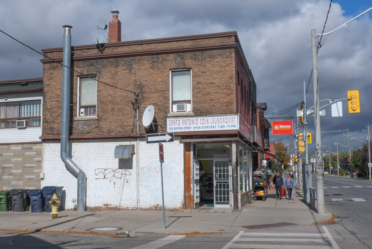

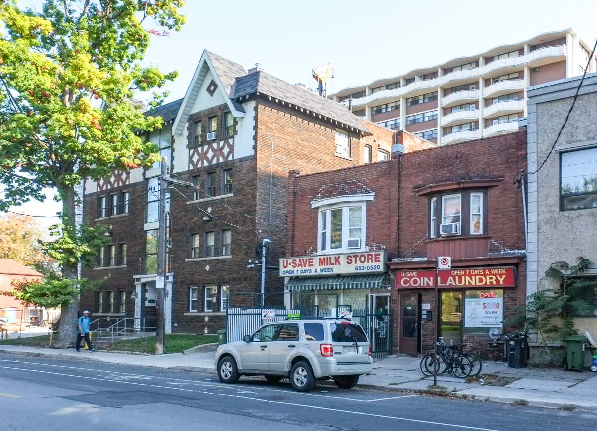
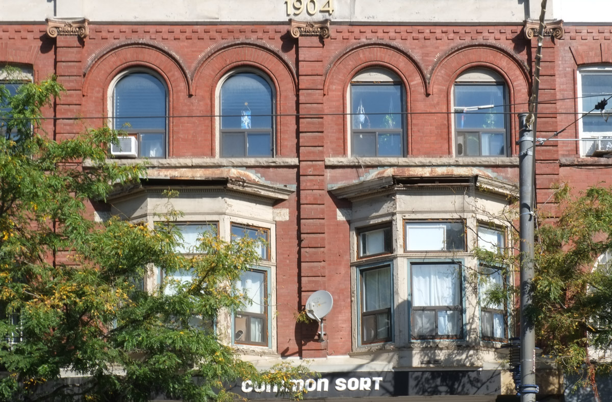
below: The red brick building was built in 1909 and it’s shape suggests that it was once a store. Back in the late 1800s and early 1900s, these stores were very popular and could be found in most neighbourhoods. With changing lifestyles (cars, larger grocery stores) and laws (only residences in residential areas) these old stores became houses. Last year Toronto City Council passed a new by-law allowing small scale retail and service businesses in residential areas.

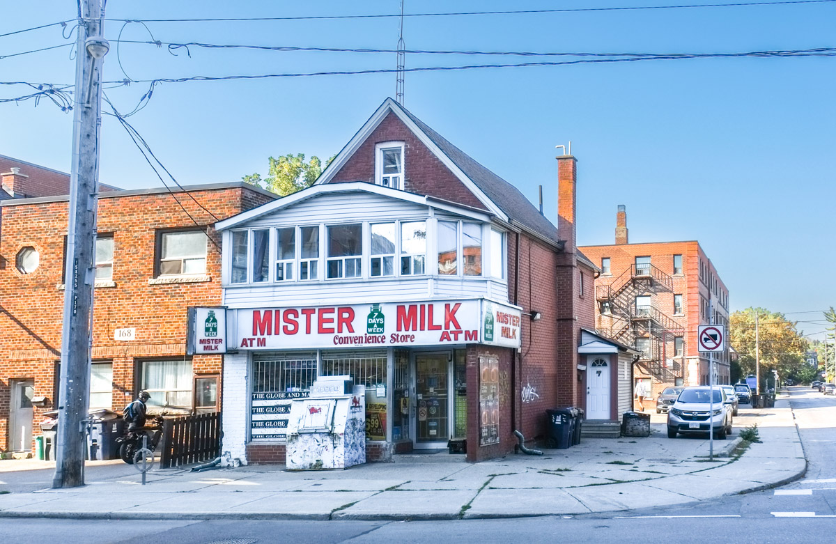
below:Lucky Convenience Store

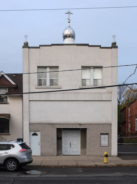
below: St. Ephrasinia Orthodox church (American Carpatho-Russian Orthodox).


below: Development notice – what appears to be an older building with three apartments might disappear to become a three storey building with ten units. Nice to see higher density without the ego of the developers vying to see who can build the tallest building.

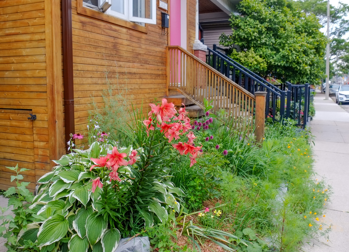
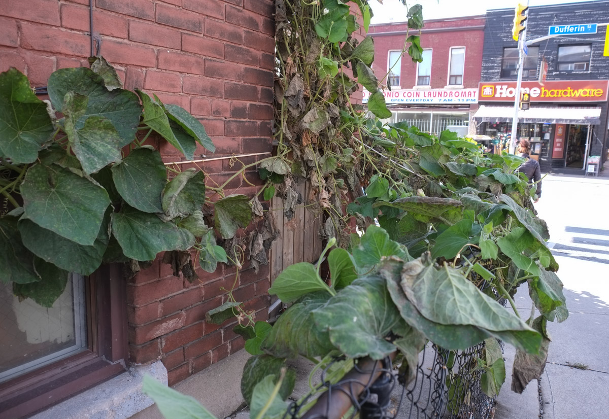
below: Making use of the tiny yard space – melon vines covering the fence and running along the walls.
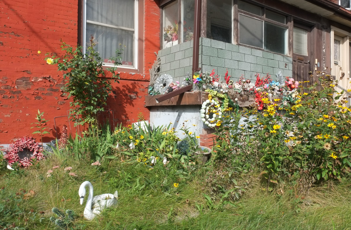
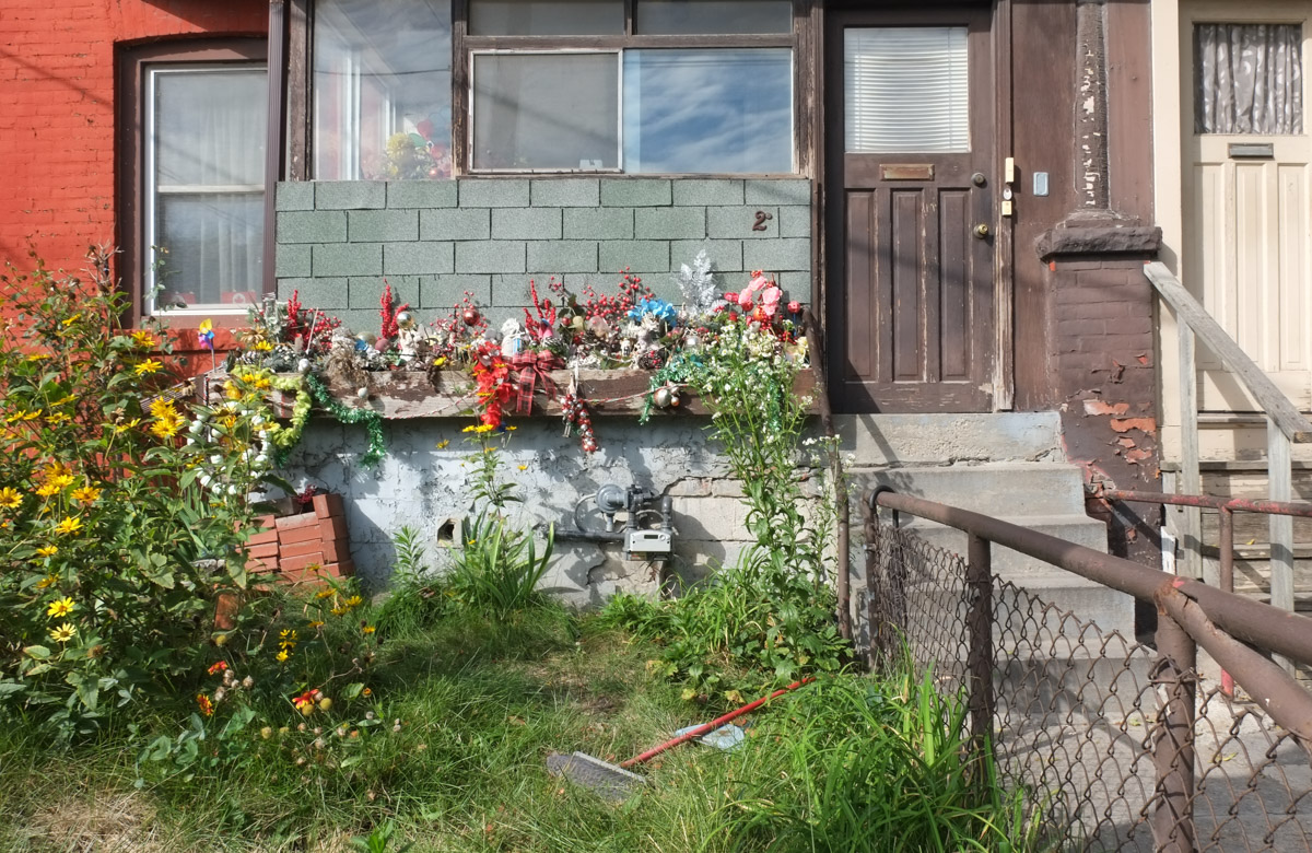
below: Another use of a front window! Whenever I see a house like this I always wonder if there are sentimental reasons why it is those particular items that sit there. The roses with their purple ribbon were probably important as Mary now watches over them. But one of these ducks has a dead plant – why? What is on your front window sill?


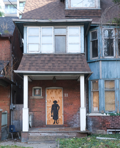
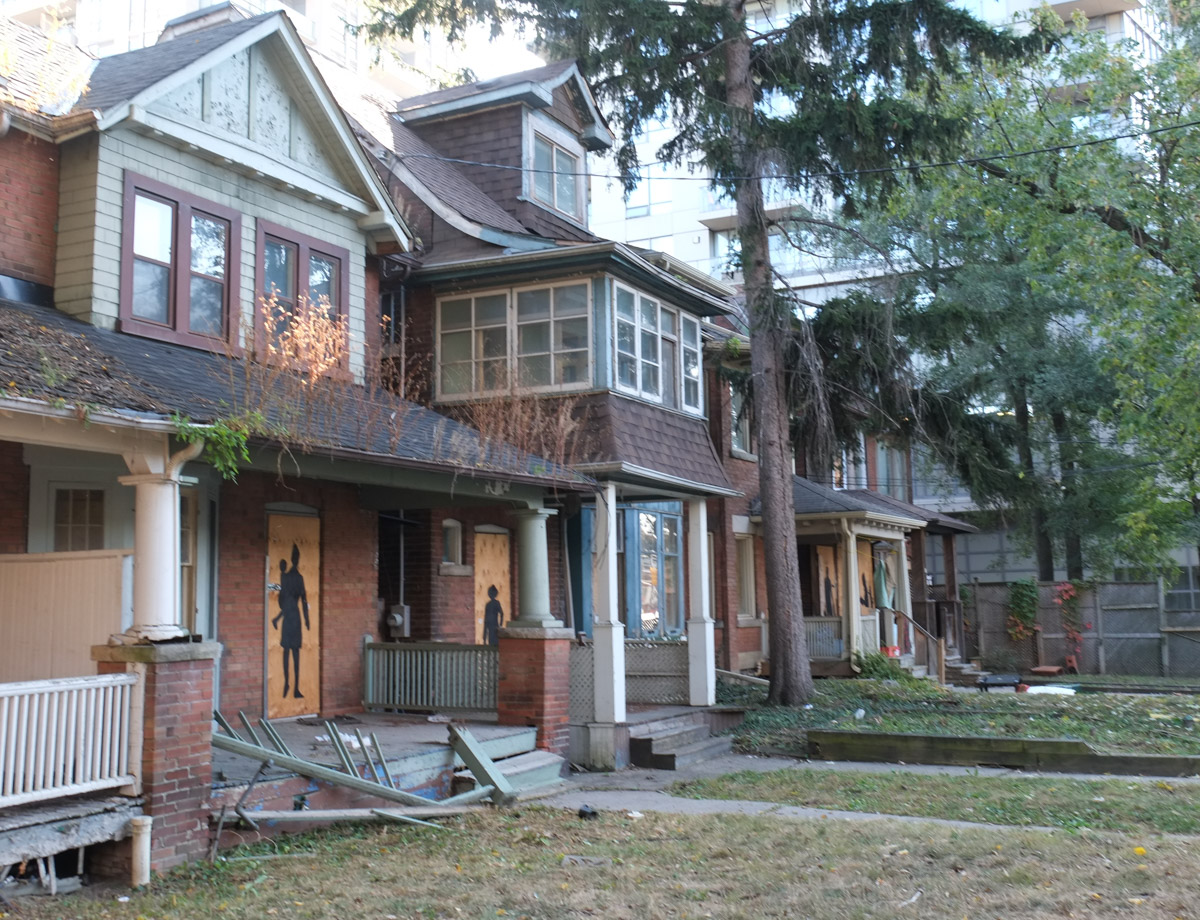
It’s getting close to Halloween so don’t be surprised if there are some creepy folks lurking around!


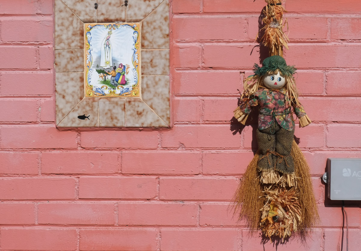
But not everyone is scary… Fatima and the scarecrow

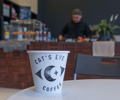
A shout out to Cats Eye Coffee where we started that day. Also, a thanks to Nancy who was my tour guide and walking partner!