


Another day, another walk through the city starting at the Distillery District and heading west towards the waterfront and downtown Toronto.
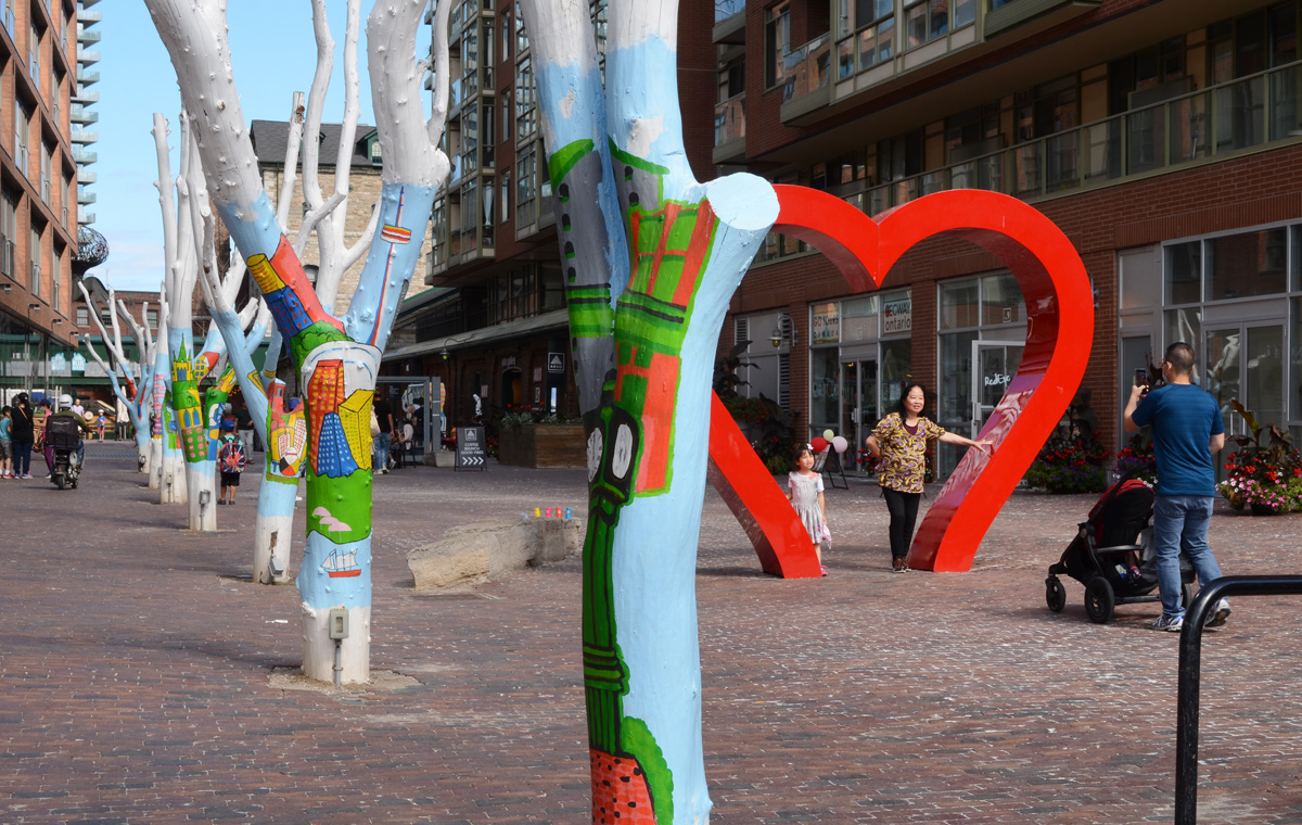
below: Posing under the heart, Distillery District.
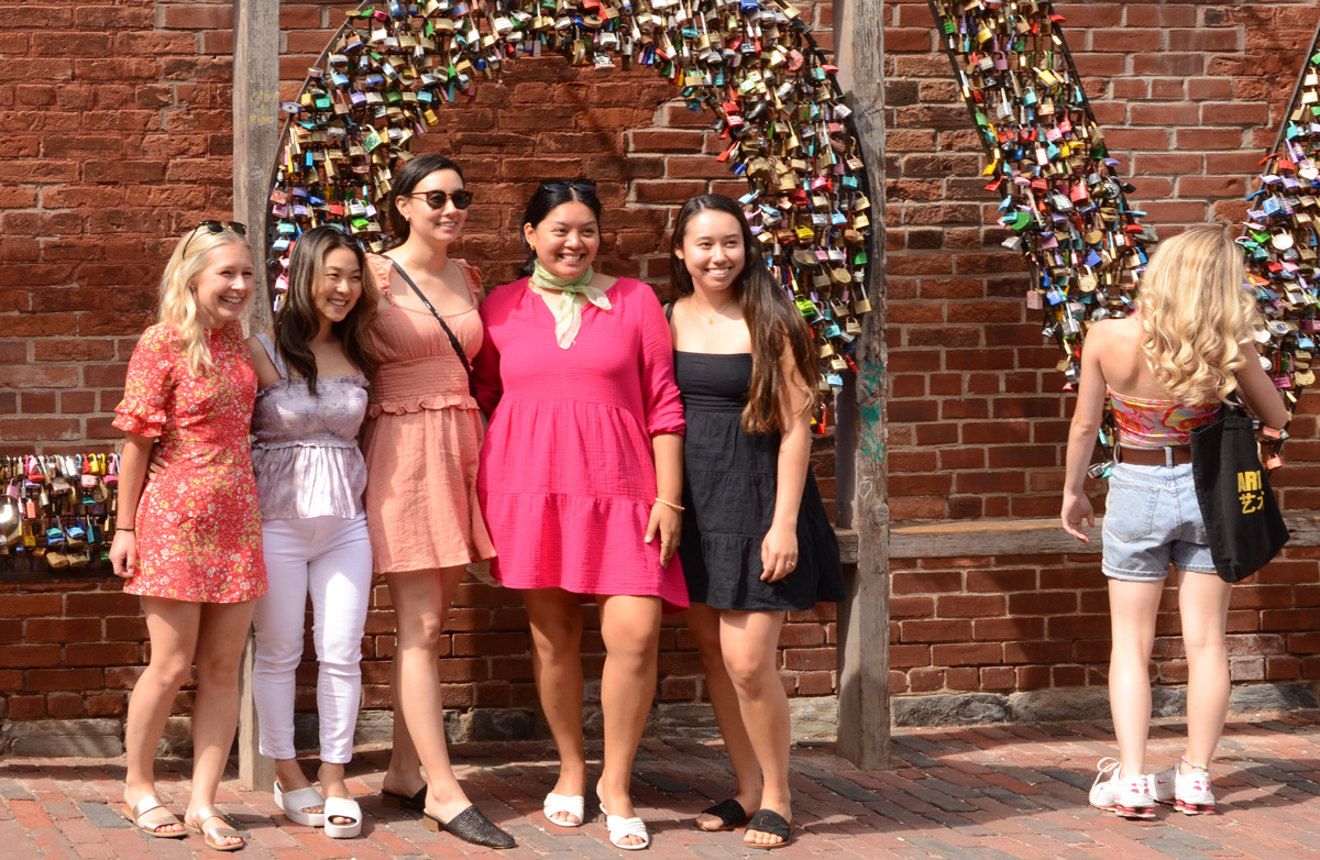
below: Posing with the LOVE locks.
below: Flowered Dress Madonna” by Ann Agee, 2021 as seen in the Corkin Gallery in the Distillery District.

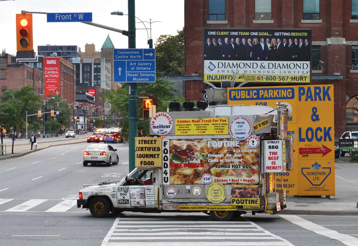
below: Looking east on Front Street from Berkeley. Police Division is the old brick building. Both sides of Front are lined with black hoardings as redevelopment of those sites started recently.

below: Berkeley St., south of Front
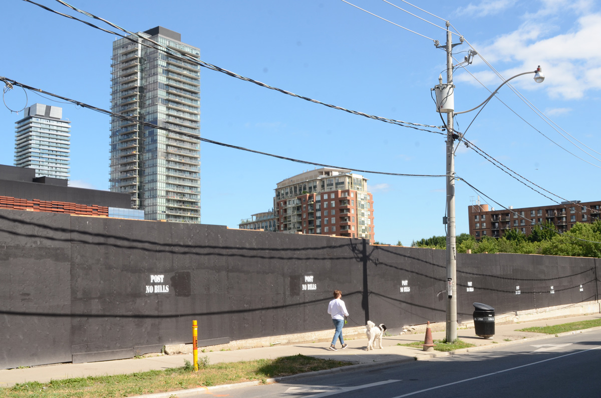
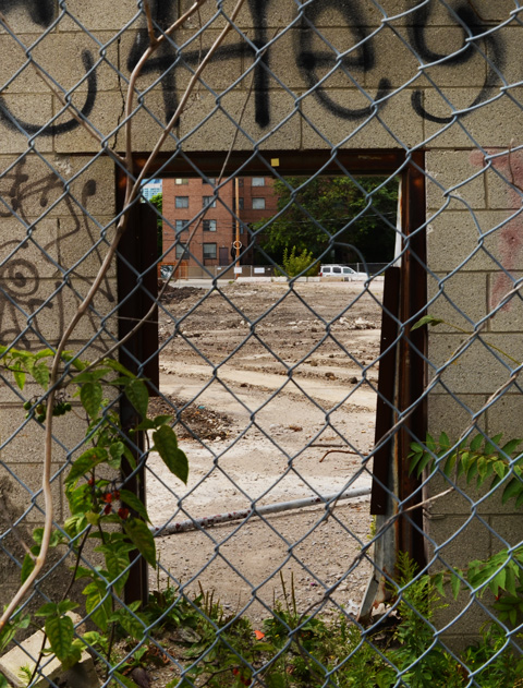
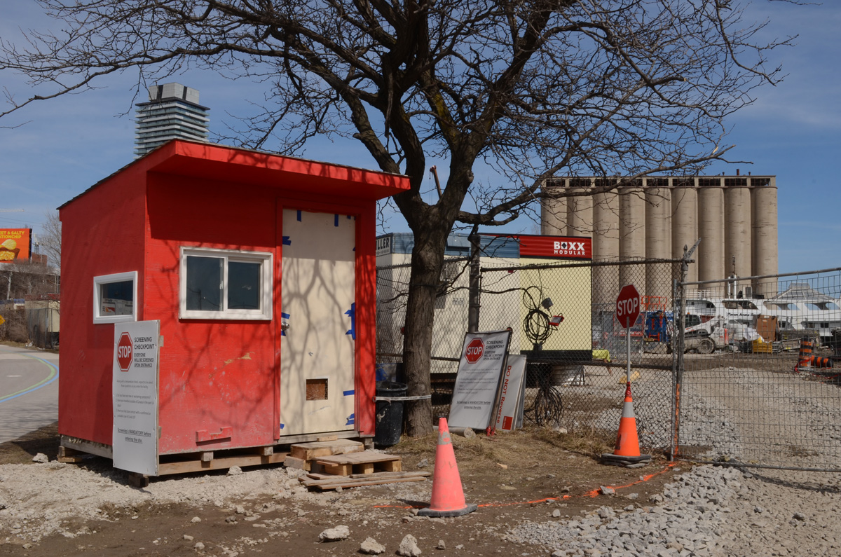
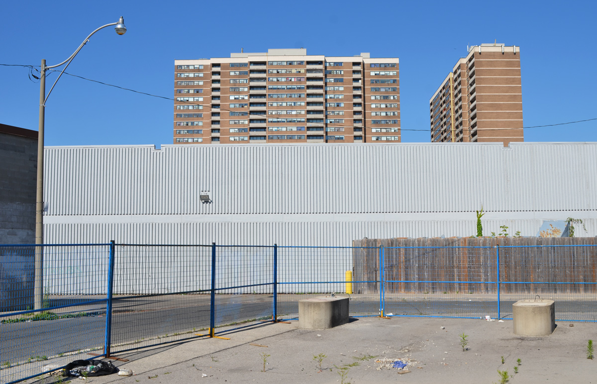
below: Another hole in the wall; another vacant lot waiting for redevelopment on Parliament Street. More tall buildings coming to the Distillery District.
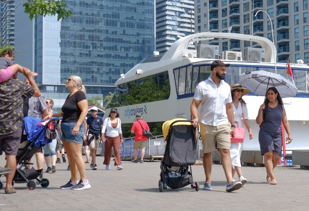
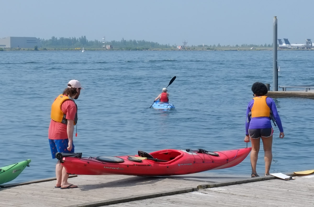
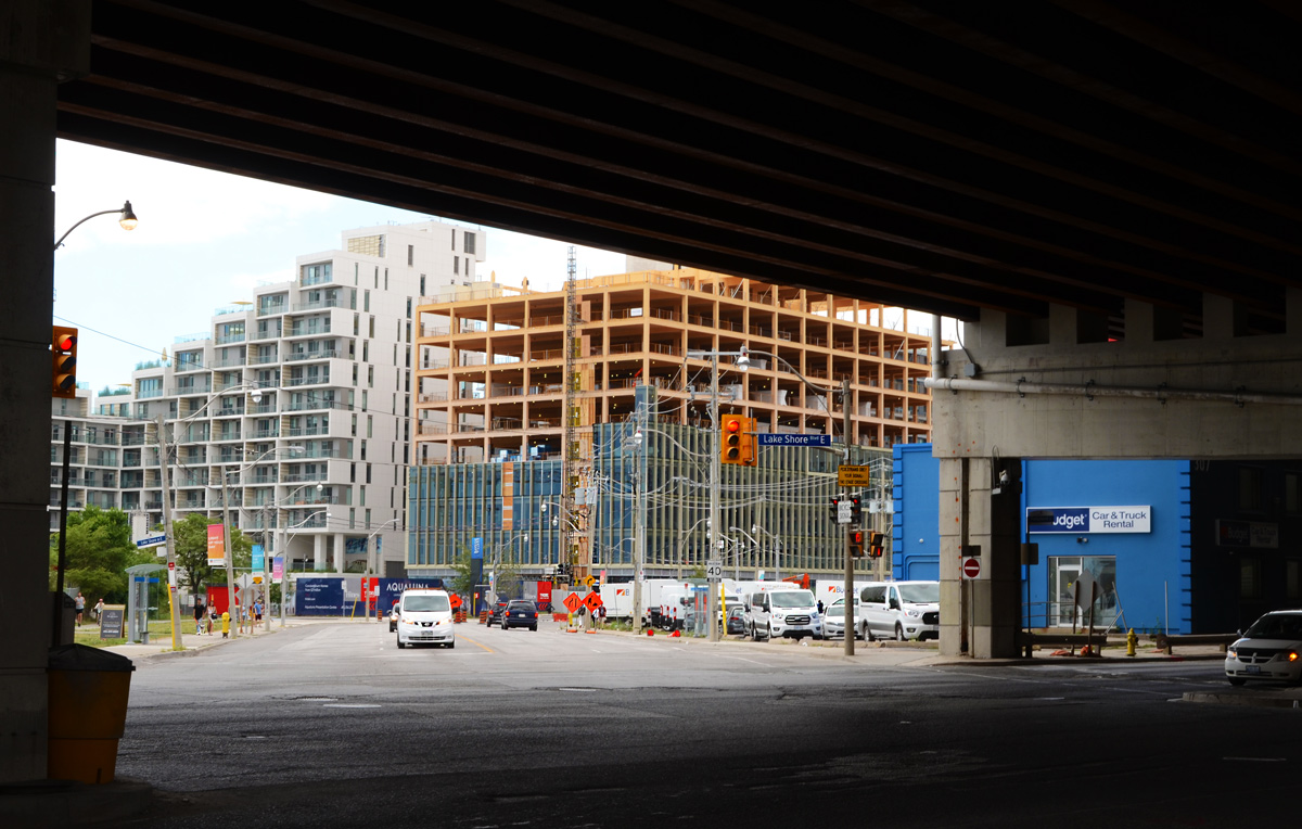
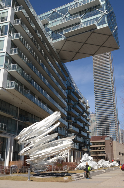
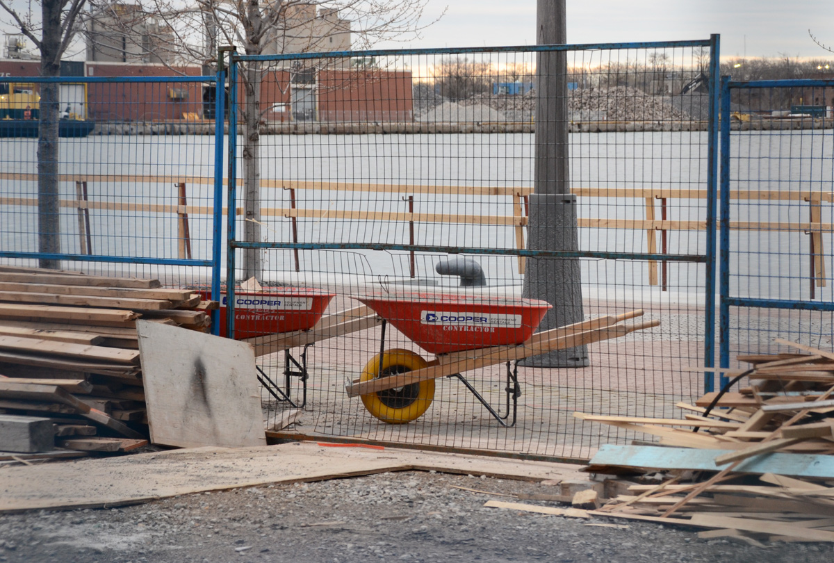
below: Looking south from the end of Parliament Street and across Lakeshore Blvd to the start of Queens Quay East. Many changes here!
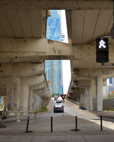
below: The CN Tower peaks through the gap created by one of the onramps for the Gardiner Expressway.
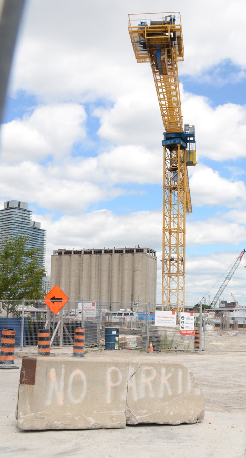
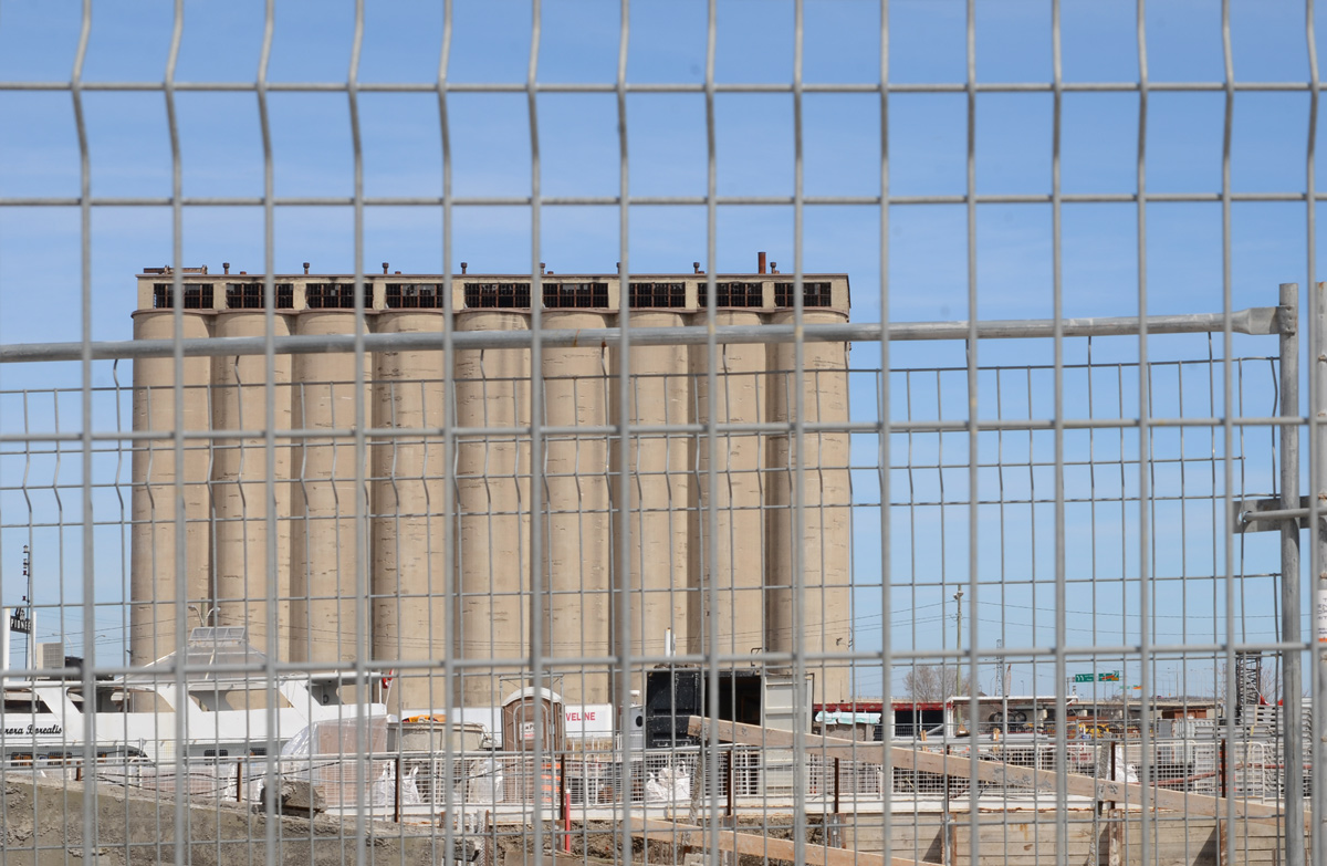
below: No Parkin’, Victory Soya Mills in the background


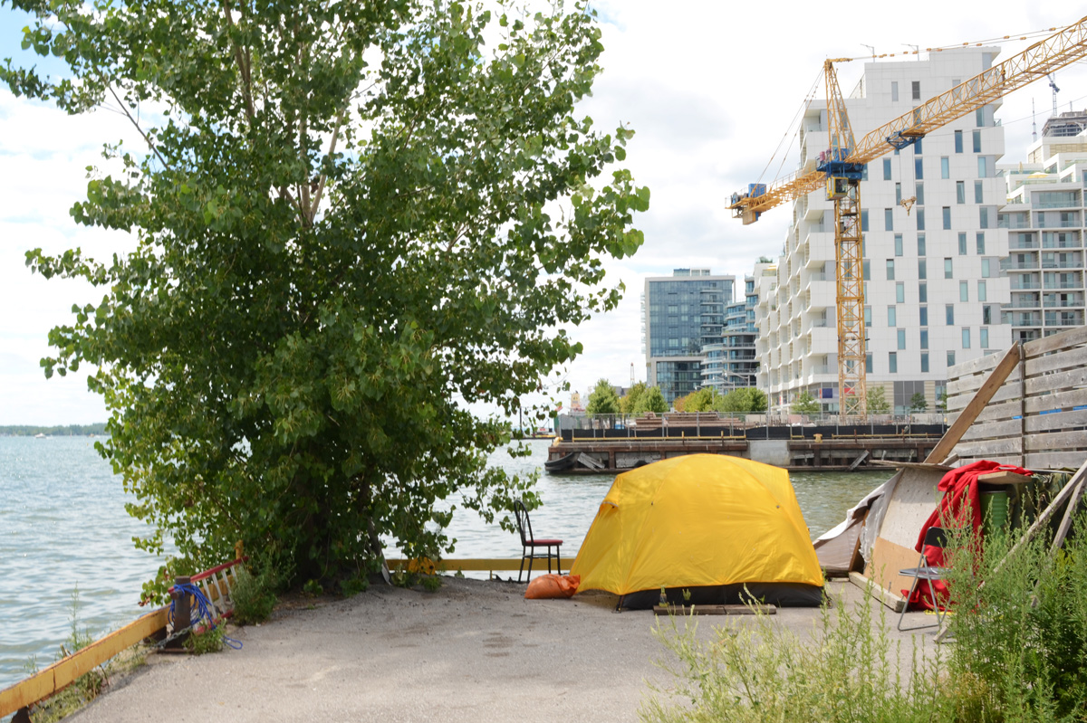
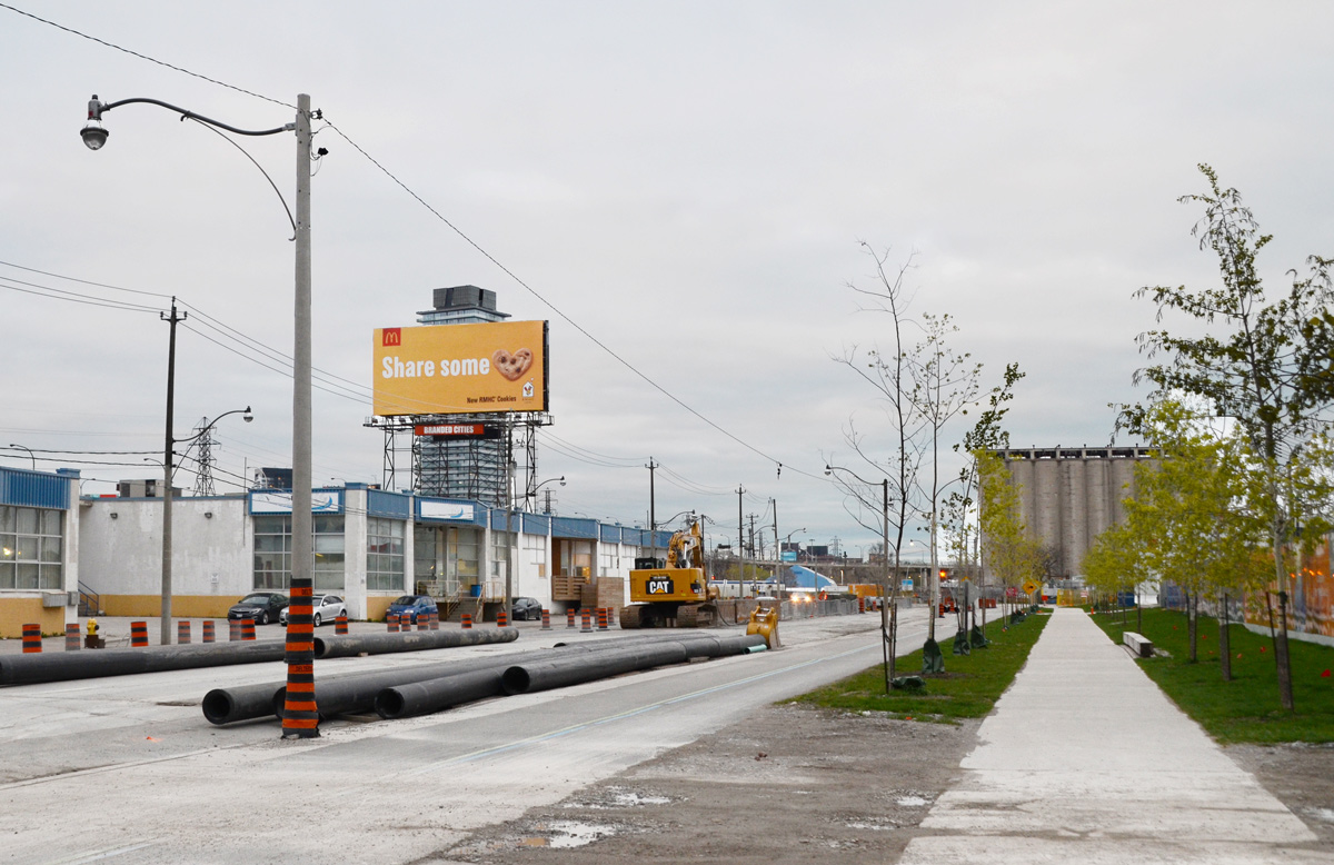
below: Looking east towards the Port Lands redevelopment. The new Cherry Street bridge is in the background.

below: From the same spot on the waterfront as the above picture, but looking in the other direction.
below: Queens Quay East

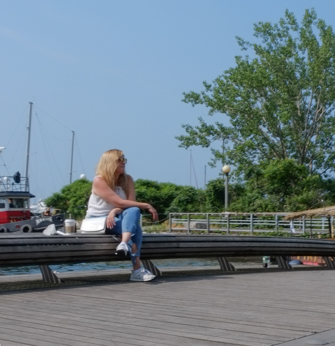
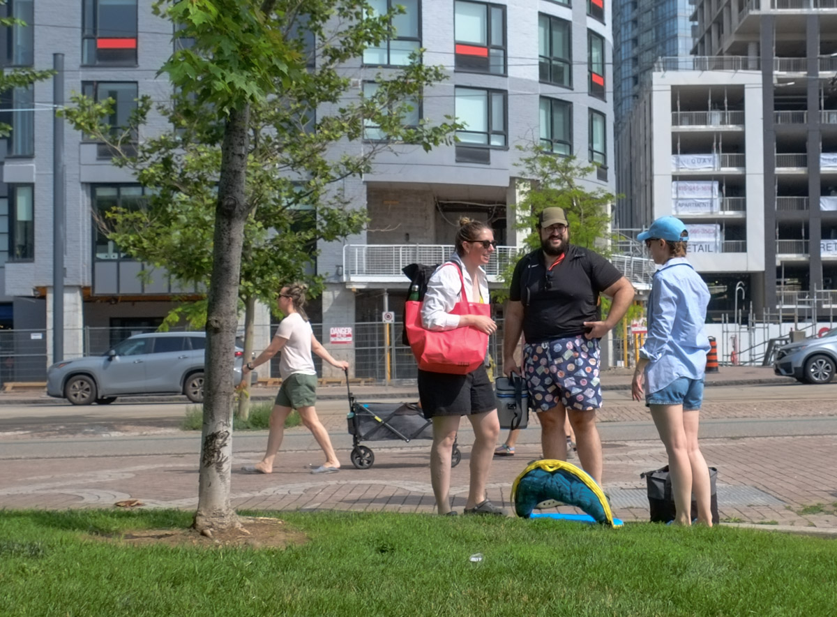
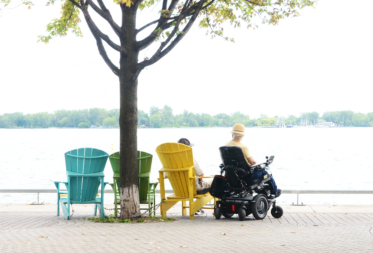
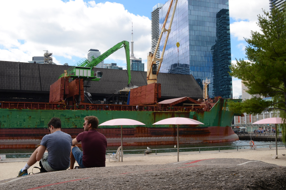
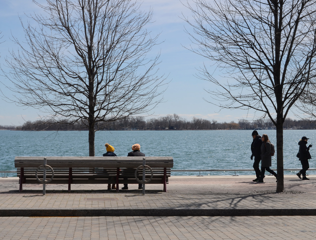
below: Relaxing by the lake.
below: Sugar Beach, spectator section, in the shade.


below: On the rocks, Sugar Beach
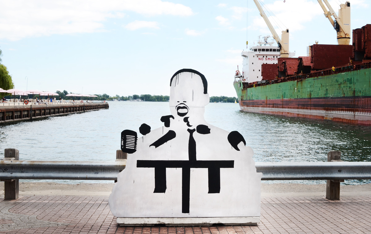
below: I am not sure who this is or why he’s on the waterfront. He’s made of wood – someone constructed him and left him here.
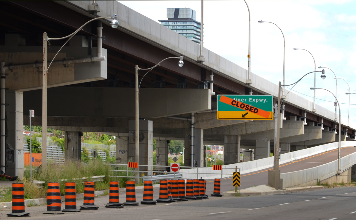
below: Closed – ramp to the the eastbound Gardiner at Lower Jarvis.
below: Lower Jarvis

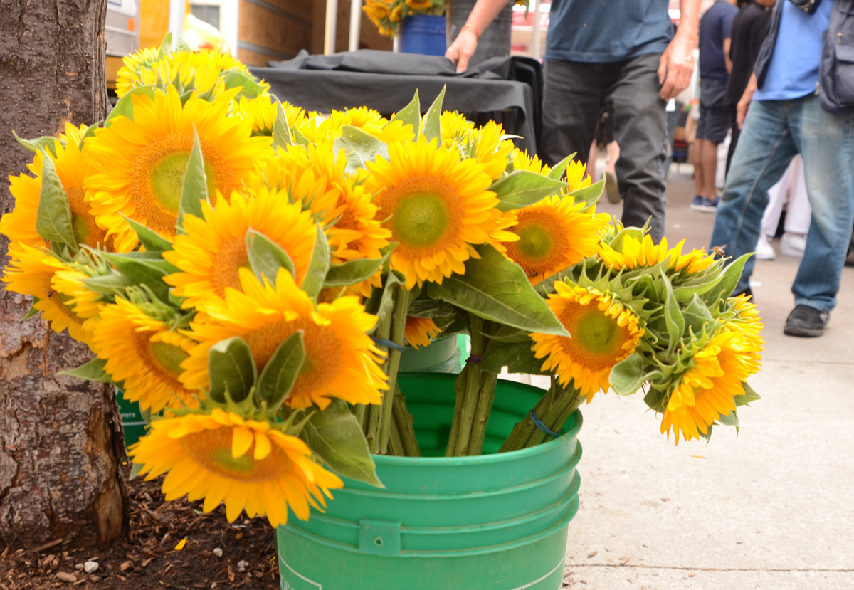
below: A bucket full of bright and cheerful sunflowers on the sidewalk by St. Lawrence Market.
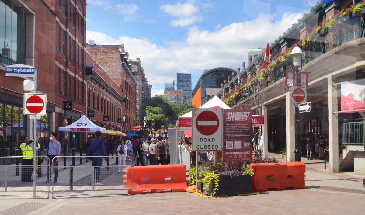
below: Market Street closed to traffic at Esplanade.
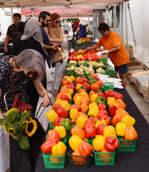
below: Marvelous peppers and other veggies for sale at St. Lawrence Market
below: Someone’s looking a little distraught. Remember how your parents used to say that if you frowned too much, or you made too many weird faces, your face would freeze in that position? That is what this poor fellow reminded me of. “Frozen” in time on the side of St. Lawrence Hall.

below: In a window. The title of the painting is “Alone” so perhaps she is alone in the city albeit surrounded by flowers. Unfortunately, they are yellow and blue flowers so I suspect that there is Ukrainian symbolism at play here and that ‘alone’ has a much deeper significance.

below: Leader Lane ends at Wellington.

below: Mama elephant and her two little ones are still walking through the courtyard behind Commerce Court. They haven’t reached the pool yet (but at least there’s water in the pool now).

below: This is one of the five Big City Blooms murals found around the city (west side of Commerce Court). The big bold and cheerful flowers in reds and pinks are the work of Alanna Cavanagh.
below: Same Commerce Court building as the above picture but from a slightly different angle.

below: Melinda Street
below: Narrow city alley views, framing the gorgeous stone and brick work on the older building with its arched windows.

below: There appears to be a forest path in the middle of Brookfield Place. It is actually a photograph that is part of an exhibit called, “Take Your Seat With the Group of Seven, Nature the Inspires Us”. (now gone from Brookfield Place).

below: In this exhibit, locations used by the Group of Seven in their paintings were revisited. Photos were taken using a red director’s chair, placing the chair in the artist’s position. In this set of images, two small paintings from Coldwell Harbour are paired with a large photo of present day Coldwell Harbour – the chair is small but you should be able to see it on the rocky outcropping. The harbour is on Lake Superior near the town of Marathon.

***
Let’s follow the fish! 🐟 It’s pointed east along Queen’s Quay and by coincidence that the direction I’m headed too… 😃

The seagull is not amused.


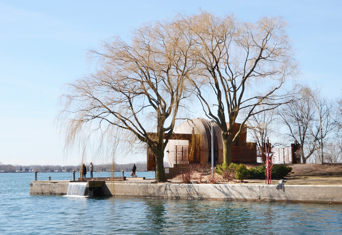
below: Harbour Square Park with “Sundial Folly” at the water’s edge. This art installation is the work of John Fung and Paul Figueiredo. It has recently been cleaned up. The sphere is hollow and there is a walkway that runs through it. An opening at the south side (water side) acts as a sundial.
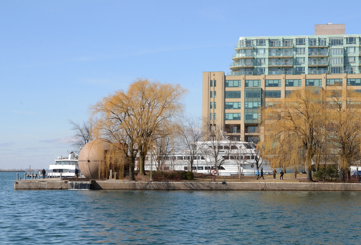
below: Looking east from Harbour Square towards the Westin Hotel tower and the park by the ferry docks.

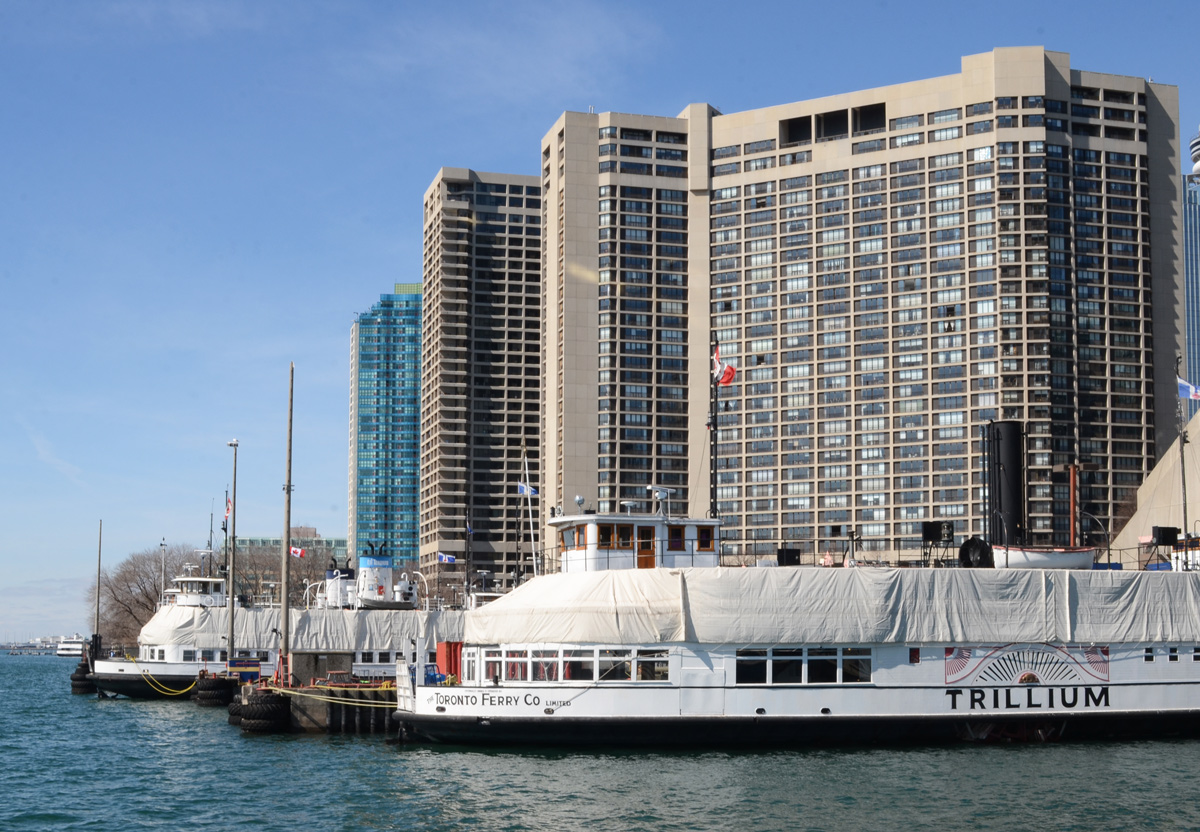
below: Tour boats and ferries still under wraps for the winter months.
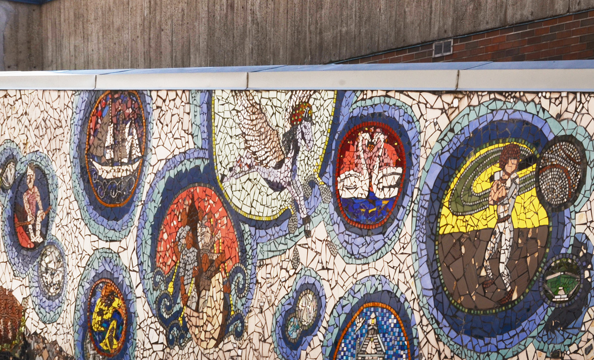
below: “Shore Stories” a mosaic located by the Jack Layton Ferry Terminal. It was made in 2012 by youth from the community under the guidance of AFCY (Arts for Children and Youth, an organization that may or may not still exist).
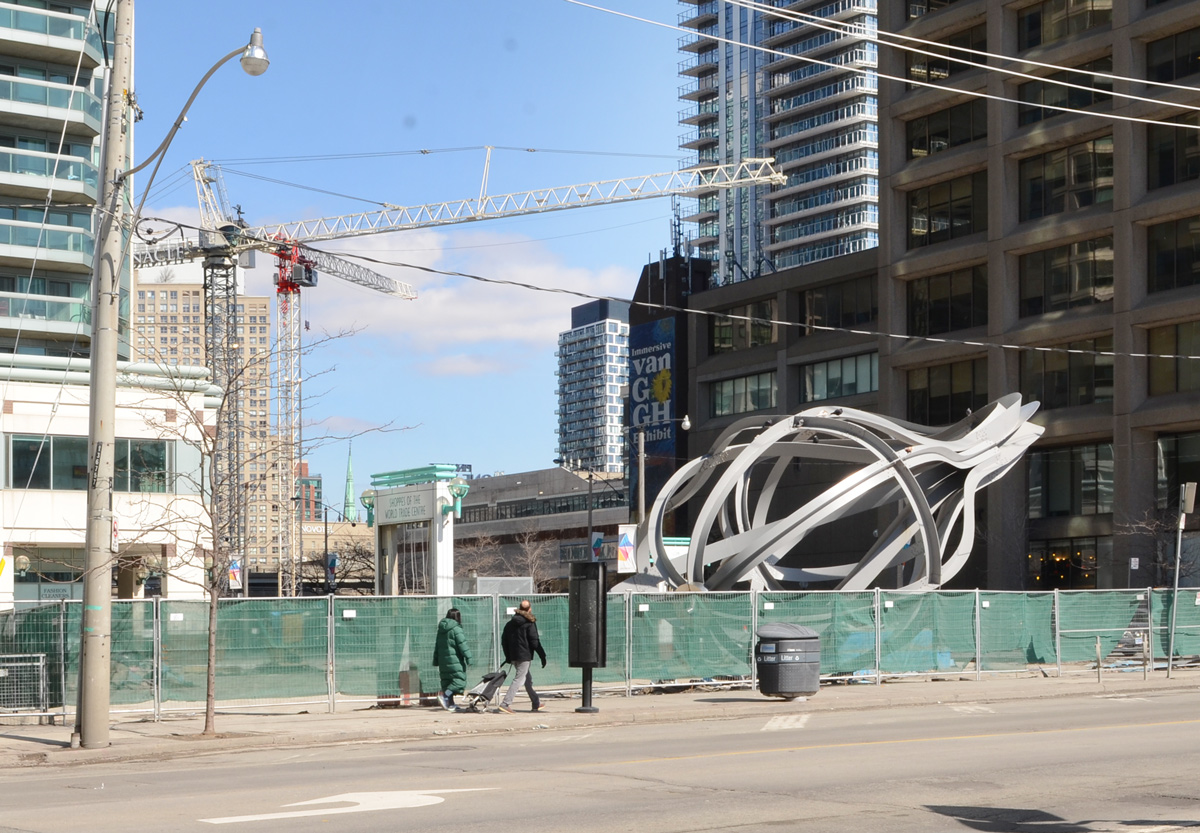
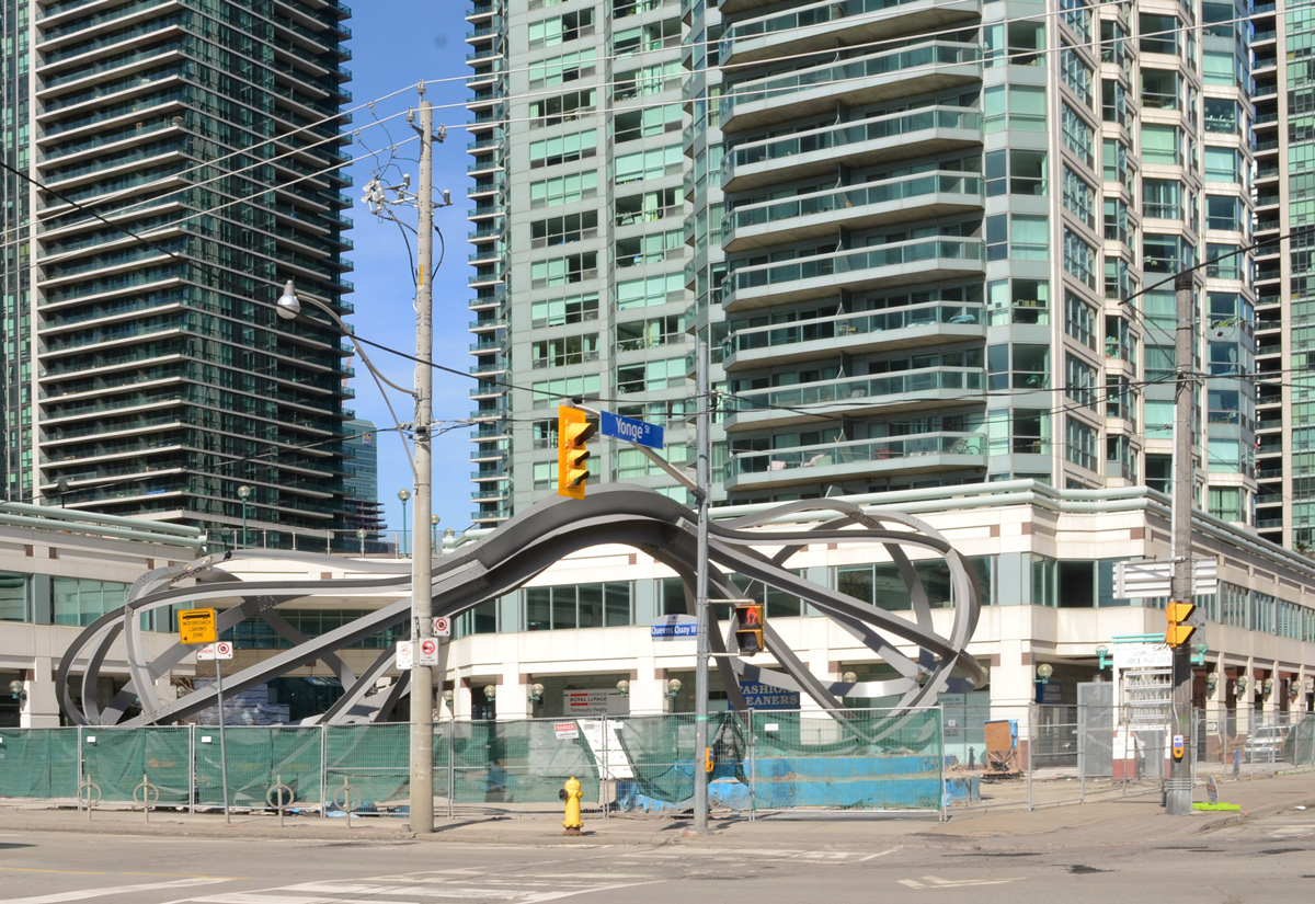
below: The “egg beaters” at 1 Yonge Street are now behind a fence. The installation is actually called “Between the Eyes”, and is by Richard Deacon.
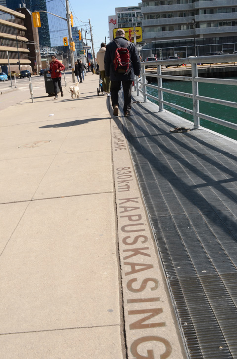
below: It’s 830km to Kapuskasing and even farther to Cochrane, just keep following Yonge Street northwards.


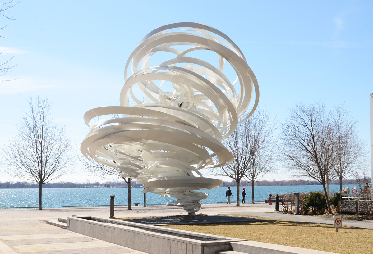
below: “A Series of Whirlpool Field Manoeuvres for Pier 27”. by Alice Aycock
below: The walkway along the waterfront comes to an end where a very high concrete wall separates Redpath Sugar from the public space.
below: Que Rock murals, water theme, “Water Clans (Nbii Dodem)” four panels at Redpath Sugar.


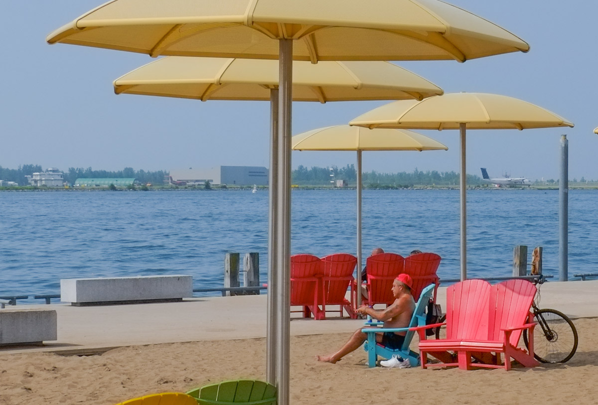
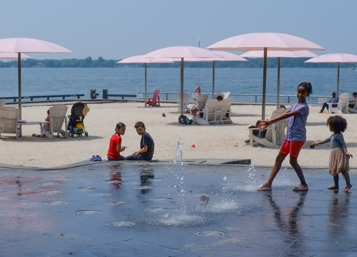
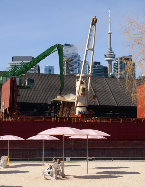
below: Pink umbrellas and sugar filled ships, at Sugar Beach.
below: Queens Quay East at Dockside

below: Sherbourne Commons


below: New construction on Queens Quay East where many parts are being made of wood. A new park, Aitkens Place Park lies between the new building and the waterfront.

below: Vacant lot on the corner of Queens Quay East and Small Street.


below: At the foot of Parliament Street.
below: Anser eyes
below: Sweet and salty at the Distillery

The south end of Dawes Road dead ends at the railway tracks just south of the Danforth. On this block there is an old abandoned car wash at 18 Dawes.

As it turns out, this sleepy little section of Dawes might be about to burst. Being within walking distance of both Main subway station and the Danforth GO line makes it a wonderful location. Three development proposals are being considered here. First, two towers, 26 and 33 storeys with a shared 5 storey podium are planned for 10 and 30 Dawes (includes this car wash location).


below: 12 Dawes Road might be the only original building remaining.

Across the street is 9 Dawes where two towers (24 and 30 storeys) with a shared podium have been proposed – with the usual bland nondescript street level nonsense.
To the south is 6 Dawes. Here there might be three towers – 40, 46, and 49 storeys. This development will also include a new community center as well as an entrance to the Danforth GO station. It runs along the north side of the railway tracks from Dawes to Main.
That’s a total of 7 towers between 24 and 49 storeys in a small space at the end of Dawes Road. The drawings for each proposal do not include the other developers’ towers so it’s difficult to picture the end result. Crowded, yes. Manageable? Who knows.
10/30 Dawes – Planning Application Number: 19 124138 STE 19 OZ
9/25 Dawes – Planning Application Number: 19 186473 STE 19 OZ
Both of these developments are in the planning stage (started in 2019) and both require zoning by-law amendments. Development can be very slow and changes often occur.

![]()
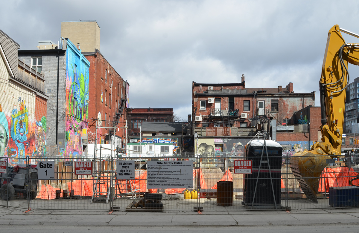
There’s a video on the internet of a kangaroo hopping down the street in deserted downtown Adelaide Australia and there are photos of other animals that have taken to roaming urban streets now that many people are staying at home. I thought of these things as I drove downtown today. Not because I saw animals. Not because the streets were quiet and empty. No, instead I wanted to compare these animal sightings to the proliferation of orange and black traffic cones as well as dump trucks and other machinery. It seems like the city has taken this time to block more lanes for construction than usual – I may be imagining things but I doubt it.
below: Driving east on Adelaide
below: Demolition on Jarvis
below: Maud Street

below: Lombard Street
below: I think that they are looking at me but how can I be sure?

My destination this morning was Graffiti Alley. There were no tourists there today but there were trucks blocking the alley. More construction nonsense.
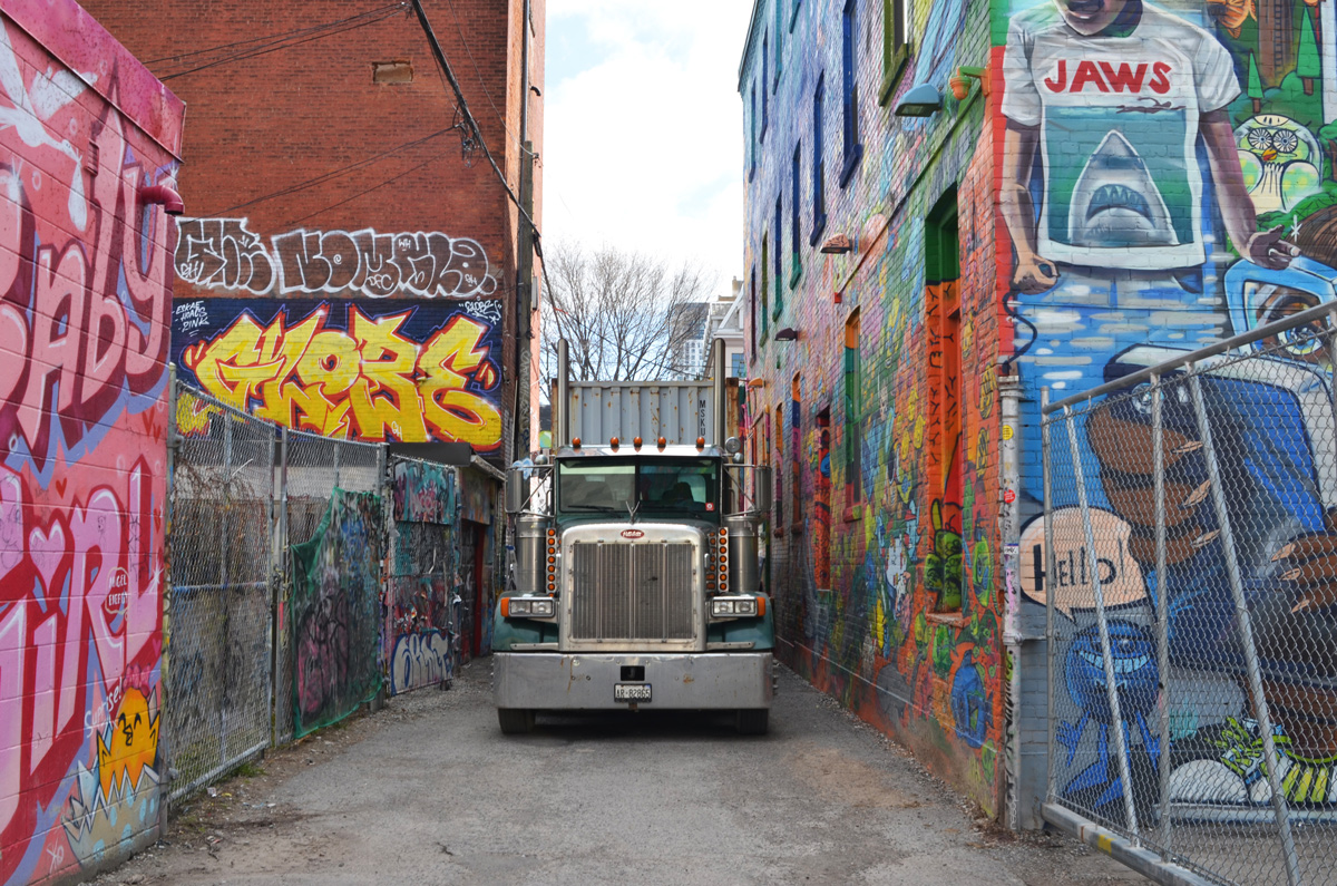
below: In fact there were two trucks

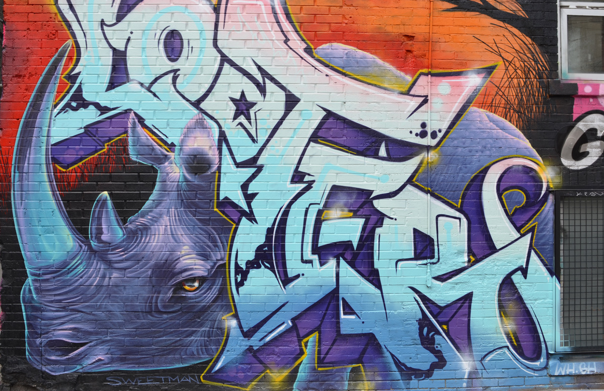
below: A new Nick Sweetman mural – a purple rhinoceros
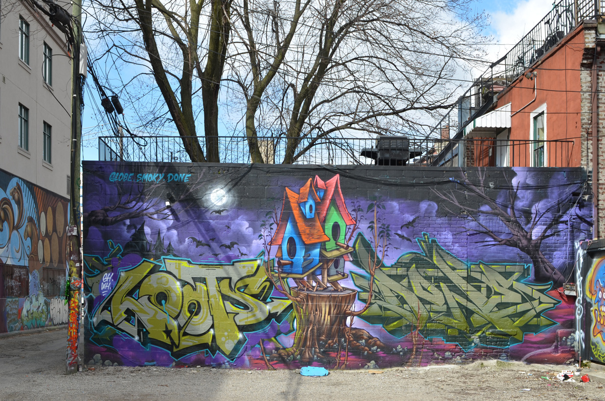
below: This mural is not new but it is the first time that I have seen it with no cars parked beside it.
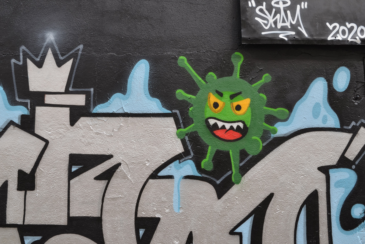
below: Graffiti Alley now tests positive for the novel coronavirus, the green variety.


below: KFC sits empty. That’s not a coronavirus victim – it was empty before we all started staying home.
below: A message from 525 and 523, Stay Safe! (actually it’s from T-bonez).

Stay safe and
stay healthy!
BlogTO had promoted a Day of Dead march on 2nd November, starting at Spadina and Fort York at noon. It was a grey and miserable day but a few of us went to see what was up. What we found at that location at noon was a few other photographers standing around in a sheltered spot wondering if anything was happening. At 12:20 we started to leave – and that is when a group of about maybe 20 people dressed like the men below showed up. But half of them were carrying advertisements for Westjet. It was just a publicity stunt. Boo to BlogTO for promoting it as an event.

It has been a long time since I was in that neighbourhood with a camera so perhaps a short walk around would be a good idea. The new Canoe Landing Centre is taking shape at the corner of Fort York Blvd and Brunel Court.
below: The view from Fort York Blvd

below: The view from Canoe Landing Park. The centre also includes includes two elementary schools, Bishop Macdonell Catholic and Jean Lumb Public Schools, and a day care centre.

below: Making use of the park on a grey Saturday afternoon.

below: Douglas Coupland’s red canoe art installation is still there, jutting out over the top of the hill.

below: One of the views from the canoe, cars entering the canyon of highrise glass & steel condos along the Gardiner Expressway.
below: Working hard at the library at the corner of Bathurst and Fort York.
below: Bathurst Street as it crosses the railway tracks.
below: Chill! Stay warm until next time!

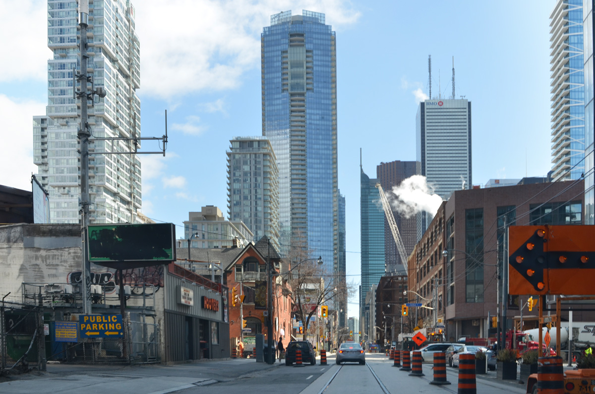
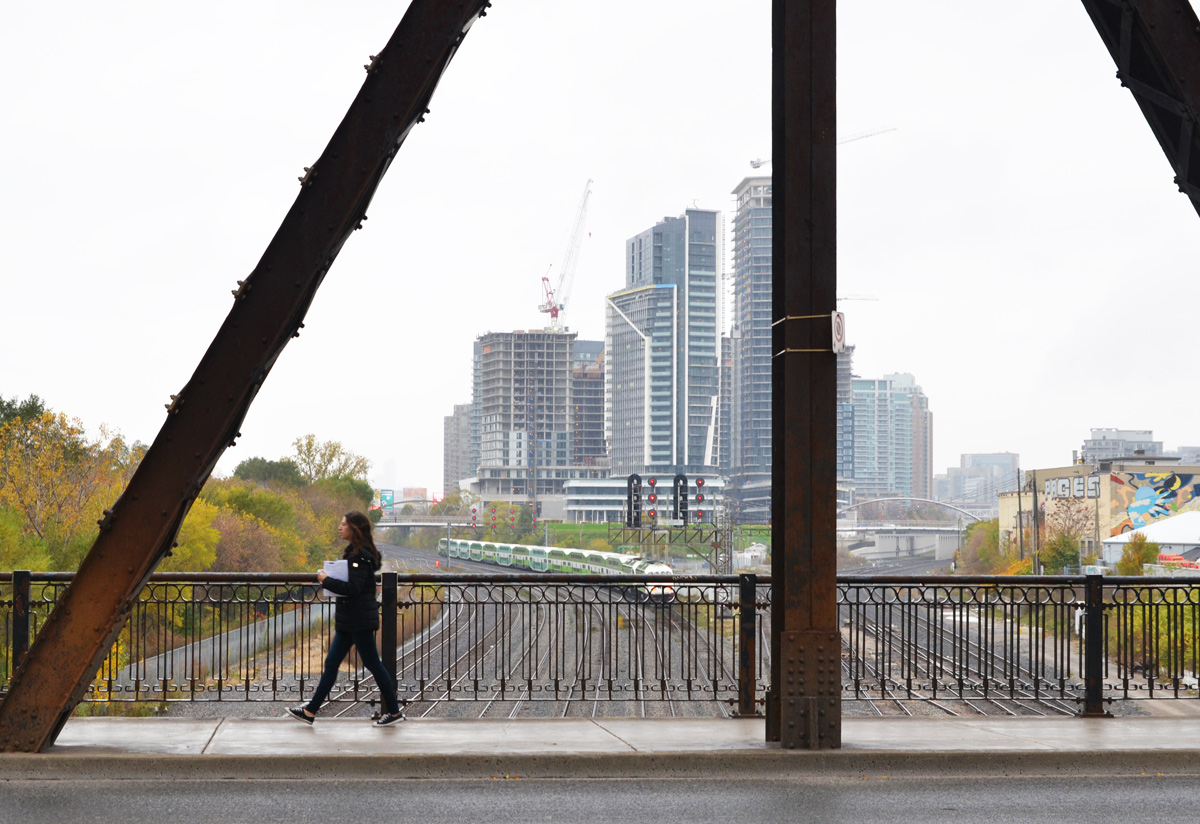
One part of the city that has changed immensely over the past few years is the area near Spadina and Front streets. I was in the area last night and had a few moments to spare so I thought that I would take a look at what’s there now.
below: Waiting for the 510 streetcar

below: Looking south on Spadina approaching Front Street.

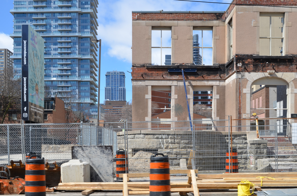
below: Many cranes working at the site of the old Globe & Mail buildings on the north side of Front Street, just west of Spadina.
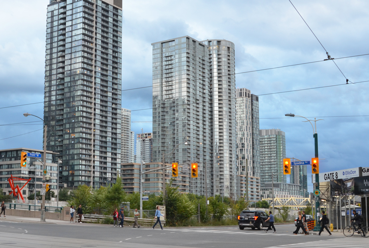
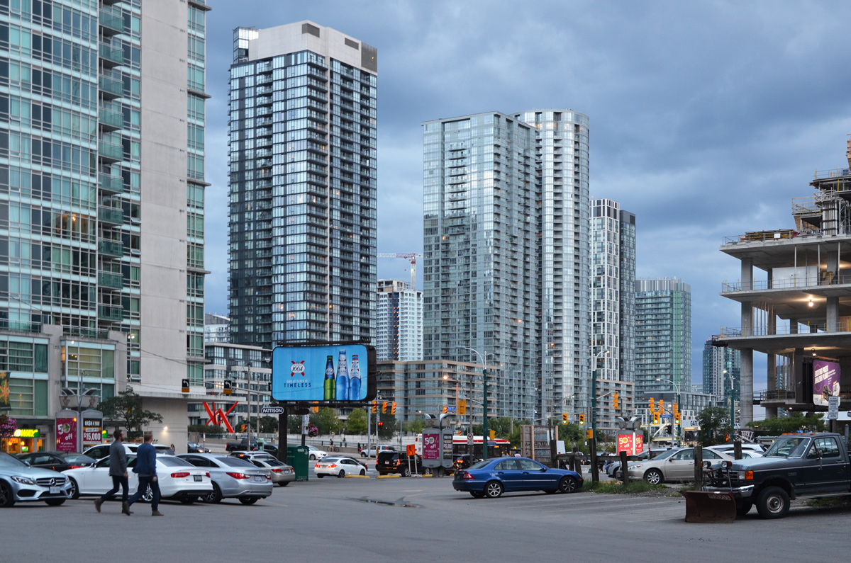
below: Intersection of Spadina & Front, looking southwest
below: Looking west from Spadina as it crosses the railway tracks.
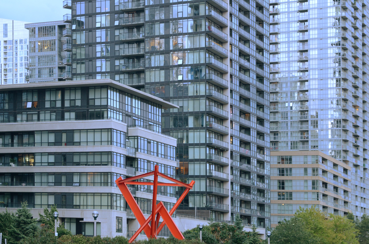
below: City Place, south of the tracks. Red sculpture is ‘Flower Power’ by Mark di Savero.
below: On the south side of the railway tracks, east side of Spadina, part of Northern Linear Park.

below: There is still a parking lot on the northeast corner of this intersection. This image is the view across the parking lot to City Place.
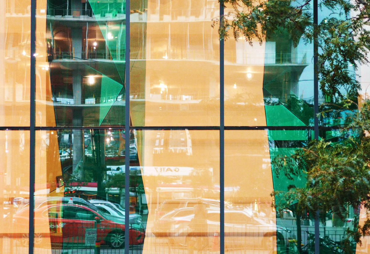
below: Reflections in the clear and green glass of a new building on Front Street, just east of Spadina
below: Waiting for the light to change
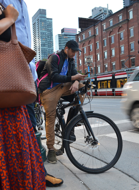
below: And once we started walking across the intersection, I loved how her skirt moved as she walked.

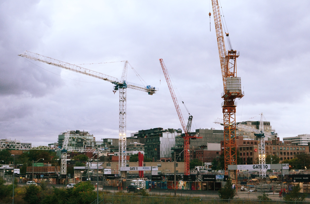
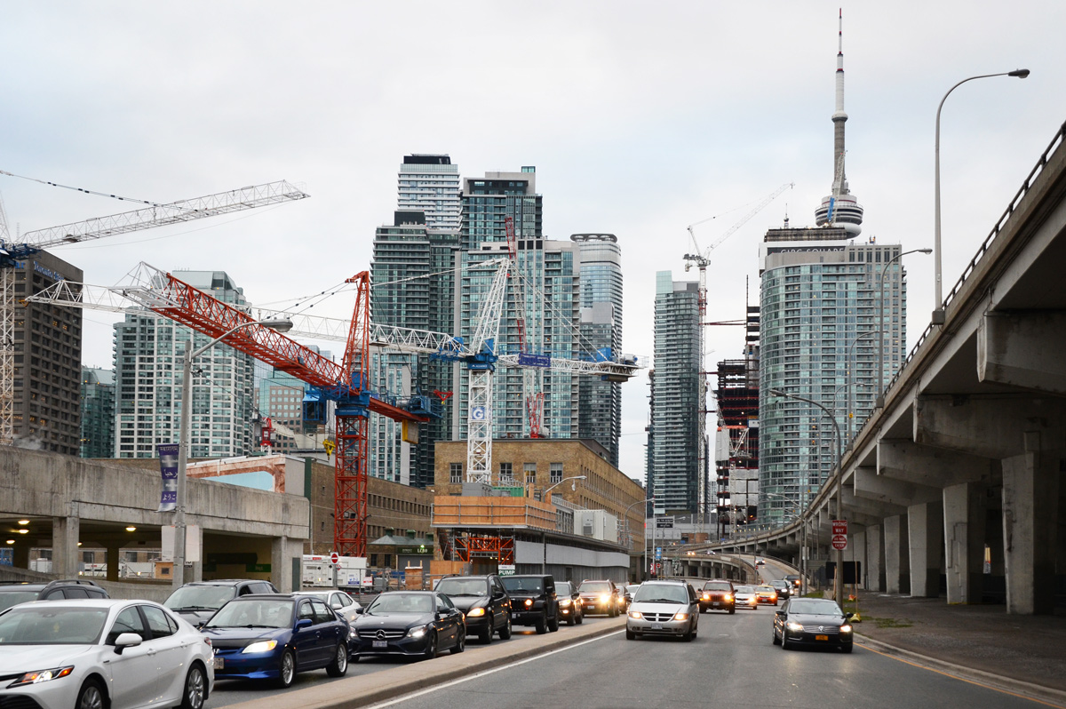
The other evening I was going to try some evening photography along the waterfront starting around Sugar Beach. As I walked down Lower Jarvis, this view caught my attention – looking west along Lakeshore Blvd. It’s a view that has been changing very rapidly. I counted at least seven cranes as I stood there waiting for some of the traffic to clear.
below: Sugar Beach. Unfortunately a film crew was already here so I didn’t stick around.

below: One of the buildings to the east of Sugar Beach is a new George Brown College building.

below: Film crew trucks ready to be loaded back up
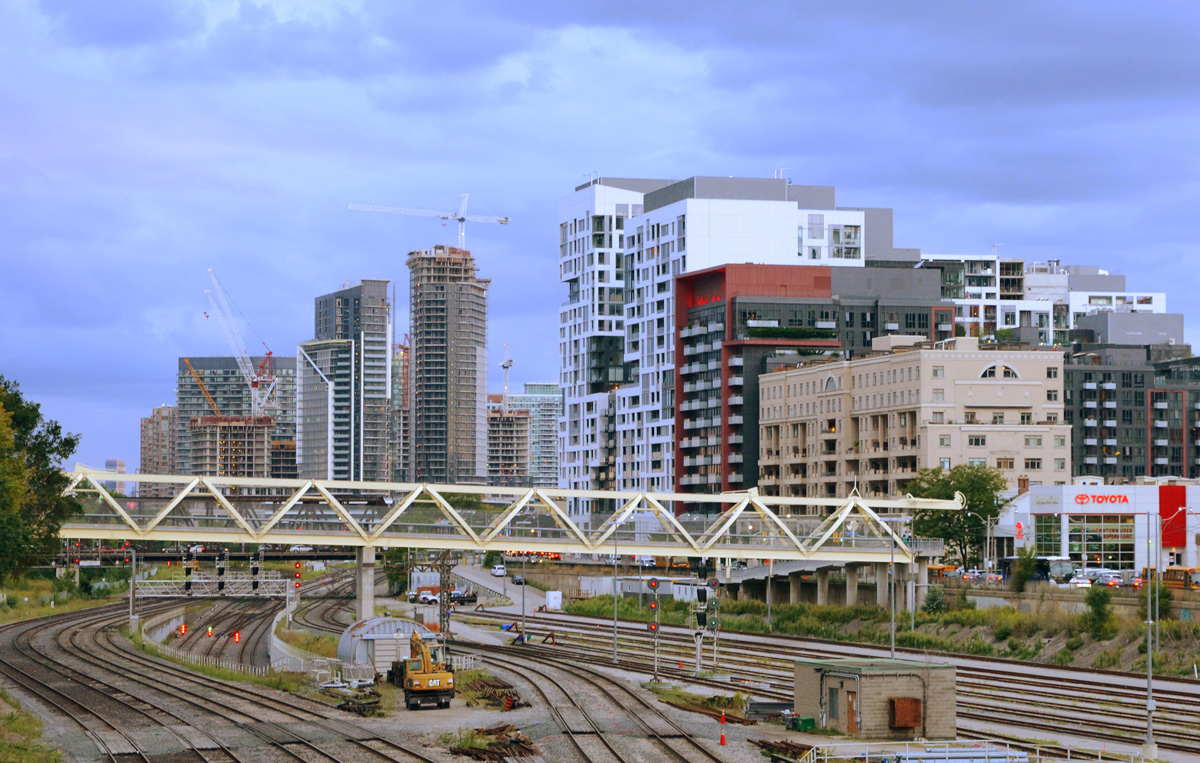
The strip of green that you see on the right side of the above photo is part of Sherbourne Common (at the foot of Lower Sherbourne Street). From here east to Parliament is now being developed as East Bayside and is a continuation of the now completed development from Jarvis (Sugar Beach) to Sherbourne. East Bayside is bounded by Queens Quay and Lake Ontario as well as Sherbourne and Parliament. 1800 residences are planned in this space.
below: Some of the condos are under construction. Same old same old; yawn. They may look a little more interesting from a distance, but at street level they are hopelessly banal. If you want to buy a condo here, there are only a few left in the two buildings known as Aqualina and Aquabella. In the latter, only 3 are available, starting at a two bedroom suite for 2.8 million. Five million dollars will get you a three bedroom penthouse with two terraces but if you want to pay an additional 1 1/2 million you get 4,000 square feet on two floors (3 bedrooms and 2 terraces as well).

below: At least the “linear park” and waterfront path is being continued eastward along Lake Ontario.
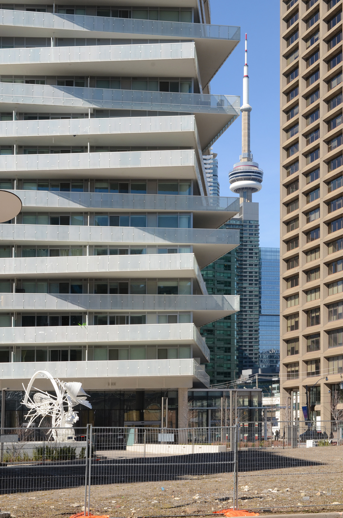
below: Work is also underway on Queens Quay East. As a frame of reference, the tall building behind the billboard is in the Distillery District. Lakeshore Blvd and the Gardiner run behind the buildings with the blue trim.
What hasn’t yet been started is construction of two office buildings that will front on Queens Quay, called T3 Bayside. They are going to be made of wood which should be interesting.
There has been a lot of talk for the past 12 to 14 years about extending streetcar service along this route. So far a lot of planning and a lot of talk but that’s it. An LRT right of way running along the south side of the street has been approved but the East Bayfront LRT project, (aka Waterfront LRT) has stalled because of the usual political shenanigans and financial hiccups. A major part of the delay has been the question of how to link an East Bayfront LRT to Union station. The present tunnel is barely sufficient for the streetcars that use it now. Just recently (April 2019) the city released a report on how to address this issue. I haven’t read it all yet (it’s 40 pages long) but the gist of it is that the city is considering two options – 1. rebuilding the tunnel or 2. building an automated people moving system of some sort and leave all streetcars out of the tunnel.
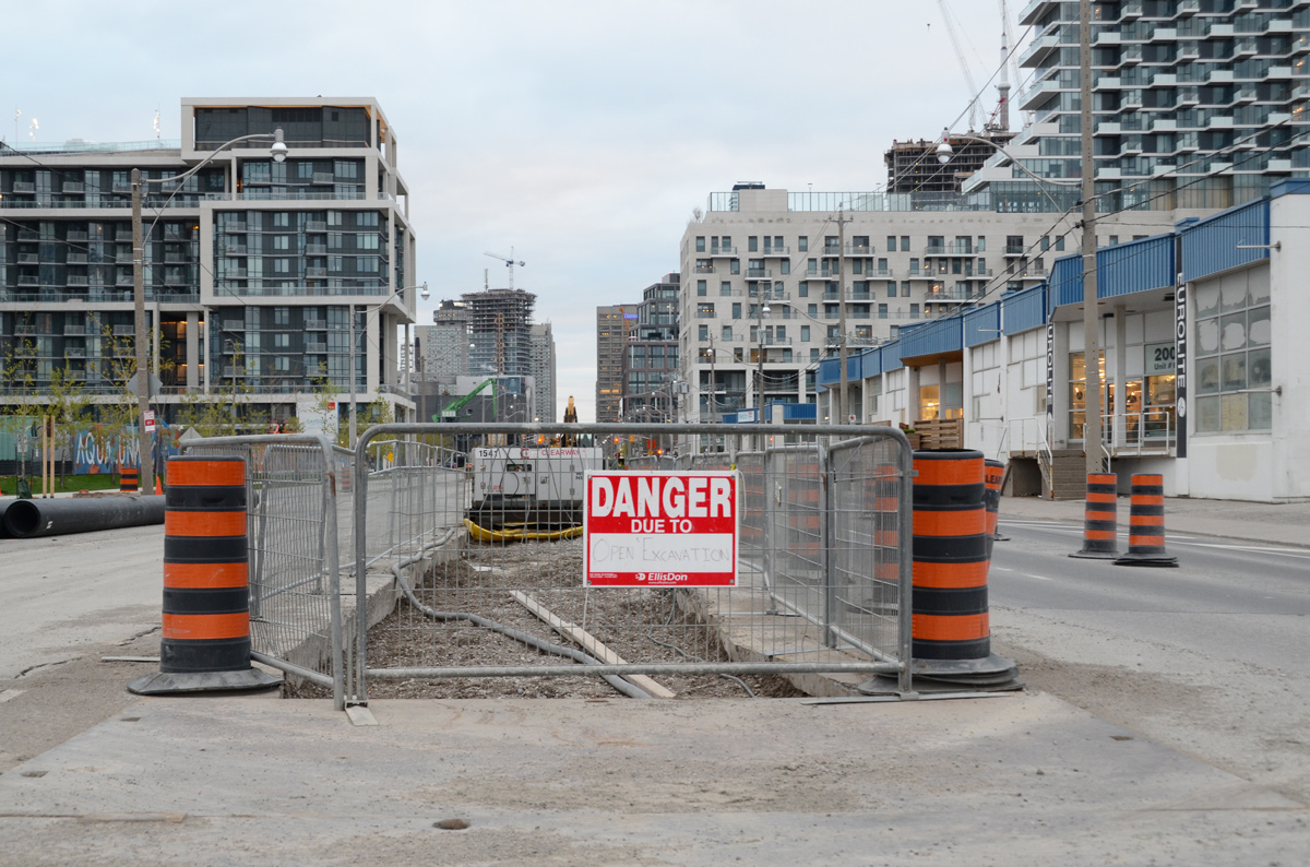
below: There is a small trench down the center of the street.
Any ideas what’s being planned for the north side of Queens Quay?

below: Queens Quay turns towards Parliament Street. The blue building is a Sidewalk Labs information centre. The land that Sidewalk Labs wants to develop, Quayside, is close by – south of Lakeshore and east of Parliament. It also includes the little strip of land between Queens Quay and Lakeshore, i.e. that answers my question above about what happens on the north side of Queens Quay. There was some rumour (plan?) about Sidewalk Labs being involved in development of some of the Portlands but is that still on? As to what their plans are or where they are at now, I have no idea. That’s probably another blog post!

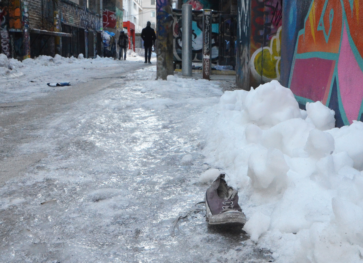
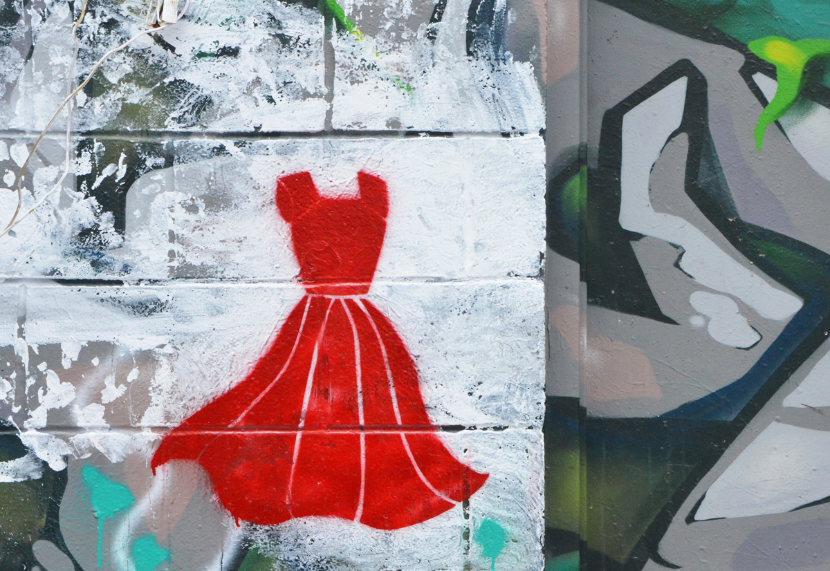
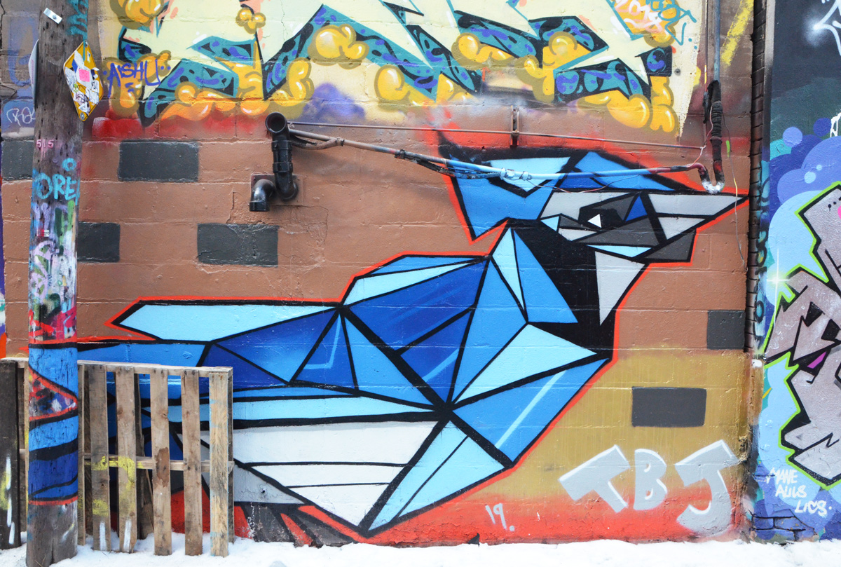
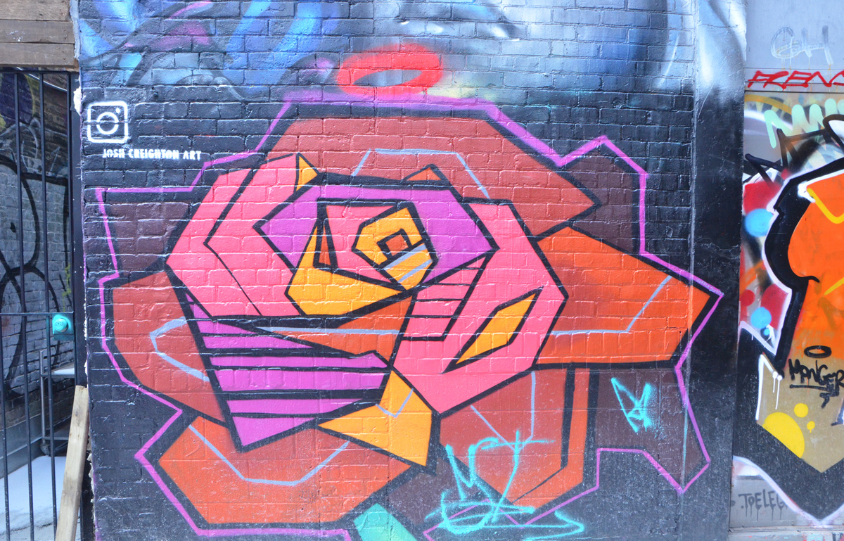
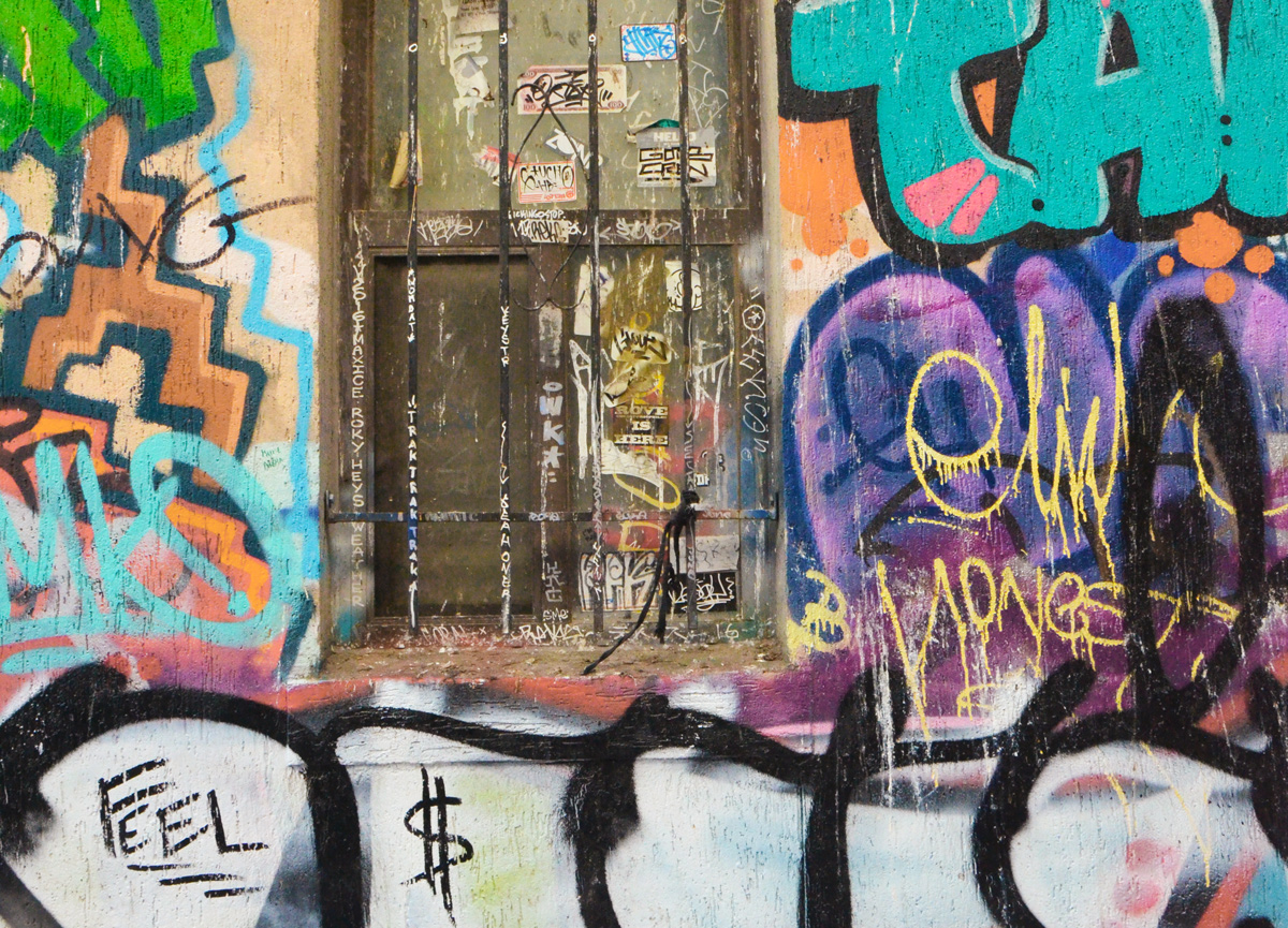
A winter walk down Graffiti Alley and Rush Lane

below: Posing with a blue mask (you can also see them in the photo above).

below: A little red dress with flair
below: TBJ, Toronto blue jay

below: A large rose by Josh Creighton
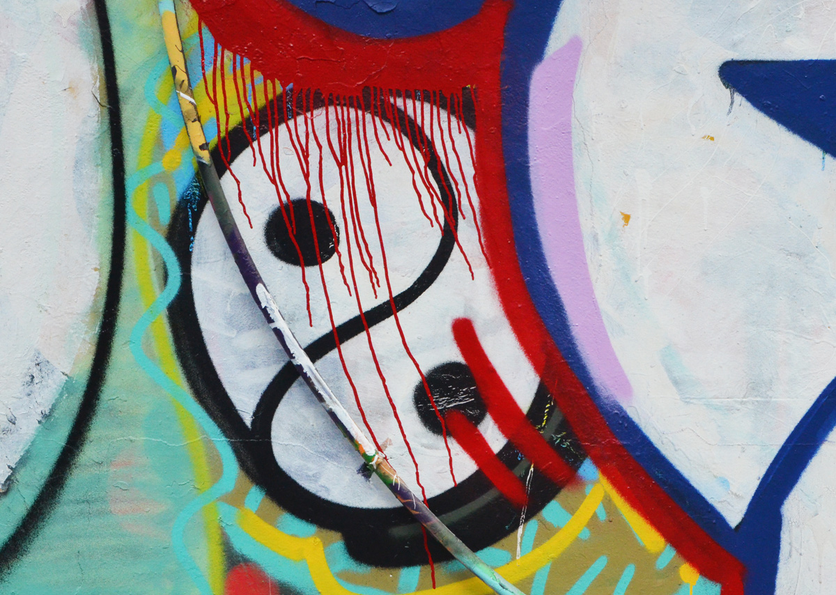
below: Yin and yang
below: Rust, grime, and the remnants of stickers on an old window.
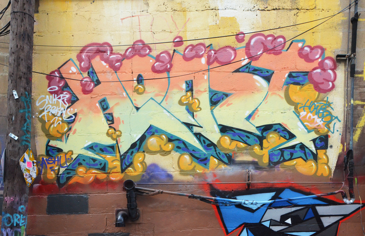
below: Horst


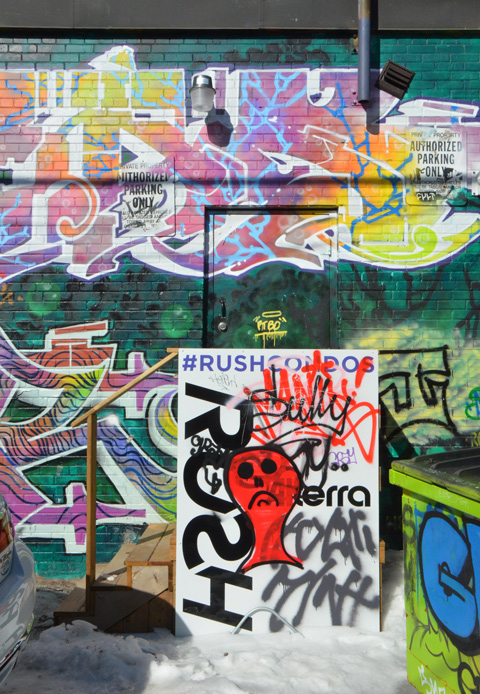
below: This blog post would have been finished a day or two earlier but I fell behind because of this photo. I fell down the rabbit hole when researching these condos. I have since decided that rather than getting bogged down now discussing this development, I would leave it for a later date. The red face sums it all up.
There is no theme to this blog post. It’s just a description of some of the things that I saw as I walked down Bathurst Street the other day after taking the 512 streetcar to St. Clair West station. In a lot of ways its like other busy Toronto streets, some houses, a few corner stores, and an alley or two along the way. A little bit of architecture and a little bit of history round out the story.
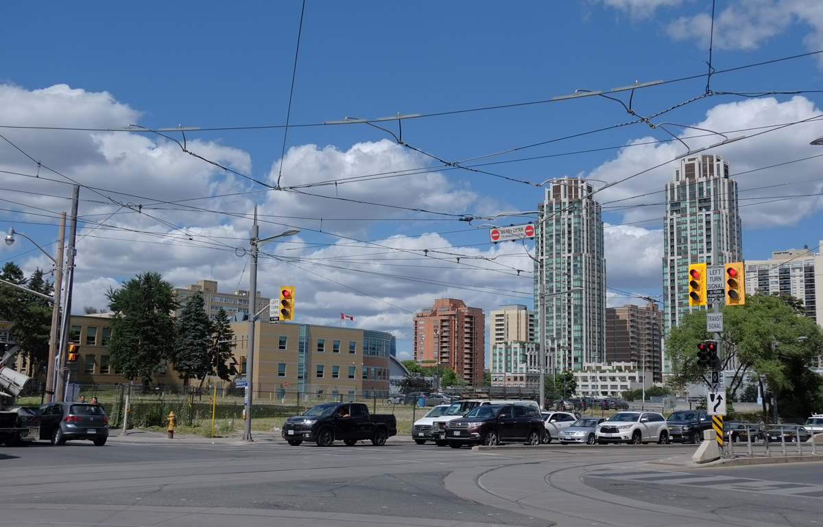
At St. Clair West and Bathurst, the northeast corner remains vacant. About four or five years ago there was a gas station and car wash on this corner. St. Clair West subway station is just to the east, just beyond the trees on the right hand side.
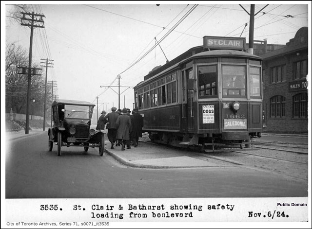
below: I went looking for an old photo of this corner and this is what I found. It’s from 1924. If the streetcar’s destination is Caledonia, then it is going westward. In 1924, St. Clair was the northern edge of the city and very little development had occurred here. It is interesting to note that the streetcar tracks came first, then the development. In addition, I’d love to be able to read the sign about dogs but the resolution of the photo is not good enough. An ad? A sign saying no dogs allowed? Or something else?
below: Of course, no vacant lot remains that way for long. At the moment, three 30 storey towers joined with a 6 or 7 storey podium has been proposed for the site but it is still in the re-zoning and planning stages. The light brown building to the left is St. Michael’s College School (boys school).

below: New development on the southeast corner of this intersection is almost complete. People have moved into the units above while the finishing touches are put on the lower retail floors. Developments like this are all over the city. Developments that look great (maybe?) on paper but are lackluster and banal at street level.

below: As I walked south on Bathurst, this mural caught my eye.
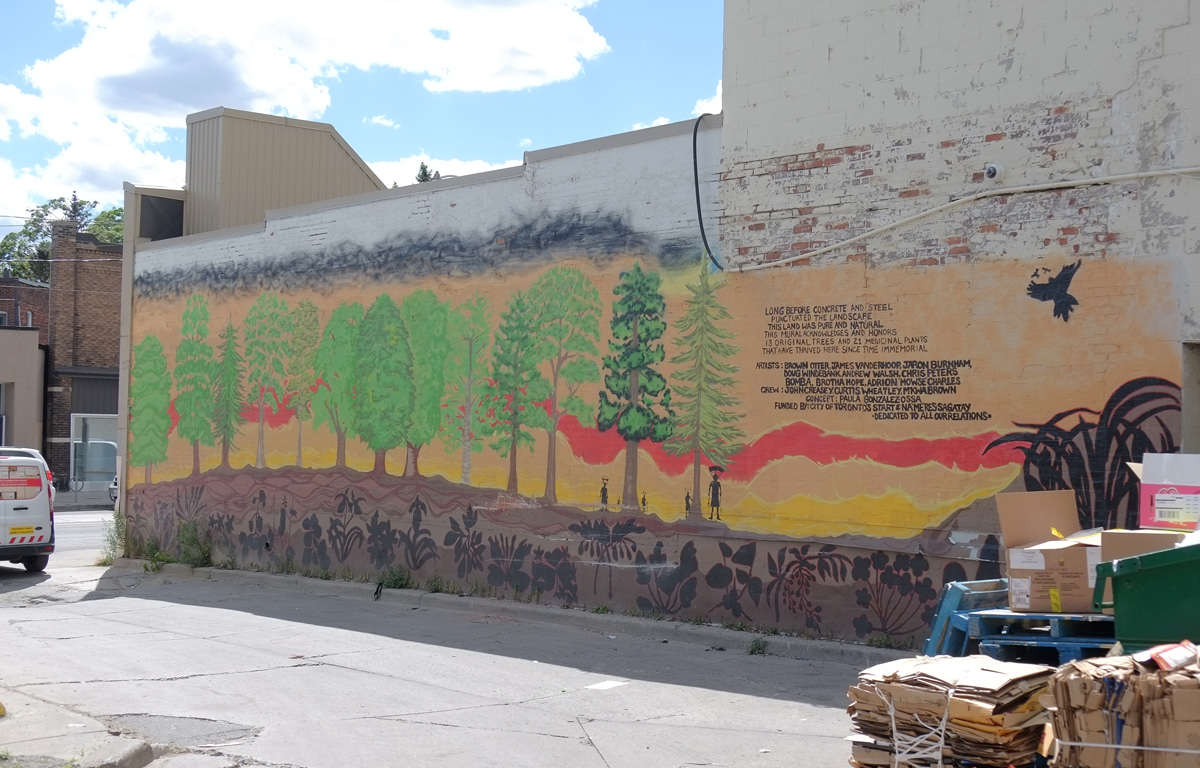
Words written beside the mural:
“Long before concrete and steel
Punctuated the landscape
The land was pure and natural
This mural acknowledges and honors 13 trees and 21 medicinal plants that have thrived here since time immemorial.”
The mural was funded by Toronto’s Start program (street art) and Na’Ma’Res Sagatay, a residence for indigenous men that is nearby.

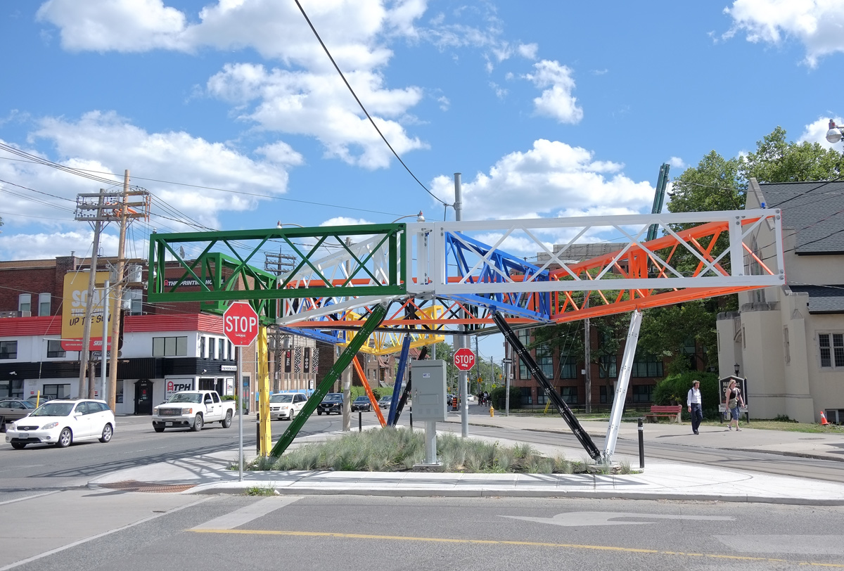
I will admit that the main reason that I was walking in this area is because I wanted to check out the new public artwork that I’ve read about at Bathurst and Vaughan. It is “Three Points Where Two Lines Meet” by Christian Giroux and Daniel Young and apparently there is some controversy about it.
below: For those who don’t know that intersection, it is V-shaped. This photo shows the approach to the intersection from the north, on Vaughan. I took this photo because my first reaction to the scene was “Ugly. Ugly is what Toronto does”. From this angle the sculpture gets lost in the visual noise.
Cities have rules and regulations for public art. It needs to be weatherproof and graffiti-proof. It can’t block the view of drivers and pedestrians. No sharp edges or structures that people might hurt themselves on – note the two black poles are to prevent people from hitting their heads.

From Giroux & Young’s website: “Taking its form from the orphaned triangular site on which it sits, this artwork produces a new urban room by combining a multicoloured truss structure, the triangular plot of wild grasses it encloses, and an encircling sidewalk thats acts as a podium and plinth. Located between the converging energies of uptown and downtown, the structure densifies an intersection already clotted with utilities and challenges established forms of urbanism and spatial representation in Toronto.” Think of that what you will. While you’re thinking, you can check the website for more photos and information.
below: An interesting (unique?) roofline on what turns out to be The Occult Shop. I made one mistake – I neglected to cross the street to go inside and find out just what one can buy here.

below: These people can still be seen in the space above the doorway at 1358 Bathurst.

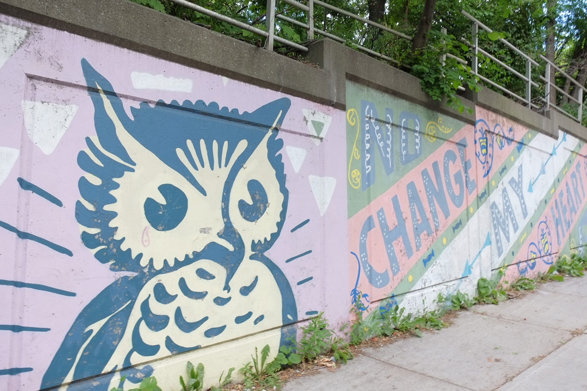
Continuing south on Bathurst, as you go downhill towards Davenport Road, there is a retaining wall beside the sidewalk on the west side. This wall was painted back in October 2013. The city paid $23,000 to two Brooklyn NY street artists (Patrick McNeil and Patrick Miller, together known as Faile) who designed the mural and in turn paid other artists to paint it.
The mural is quite long and I only have a few pictures of bits and pieces of it.


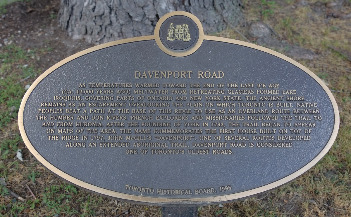
below: Apparently Davenport Road is considered to be one of Toronto’s oldest roads. It follows the base of a ridge and provided a route between the Humber River in the west and the Don River in the east.
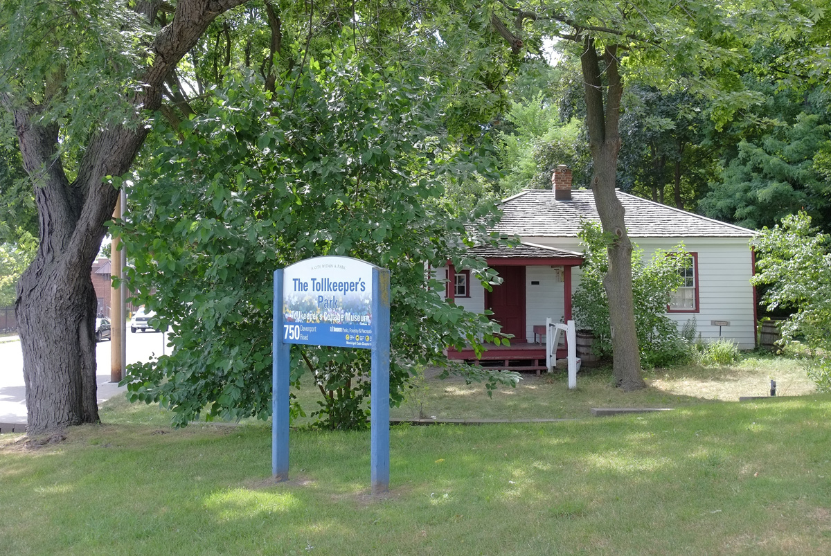
below: There is a park on the northwest corner of Bathurst and Davenport, The Tollkeeper’s Park. The old house, the Tollkeeper’s Cottage, is now a museum run by The Community History Project. It is open on Saturday afternoons (and some Sundays during the summer)
below: And across the road is Tollkeeper’s Lane. There are chairs everywhere in this city not usually as comfy looking as these.

below: An old Comet parked in the alley

below: Tomatoes and other vegetables growing in a front yard.

below: A hand, part of an Elicser mural. This mural, which is on both sides of the railway underpass just north of Dupont, is still there. Photos can be seen in a blog post from Nov 2014 (Yikes! Have I been blogging that long?!).

There are a few remnants of a more industrial past in the area near the railway tracks.


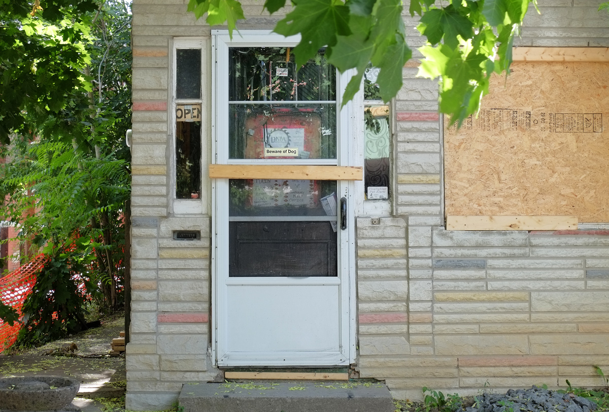
below: Another door – I doubt that it’s open now, or that it ever will be again.
below: These windows, and the house too, probably won’t be here much longer either.

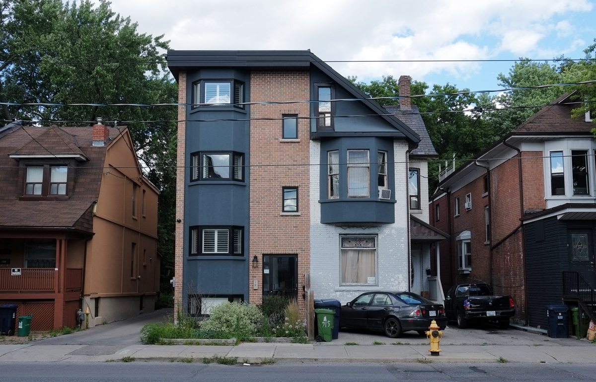
below: A very standard row of semi-divided houses; a common sight. Hundreds (thousands?) of these were built around the city.

below: And a not so usual semi.
below: A touch of art deco.

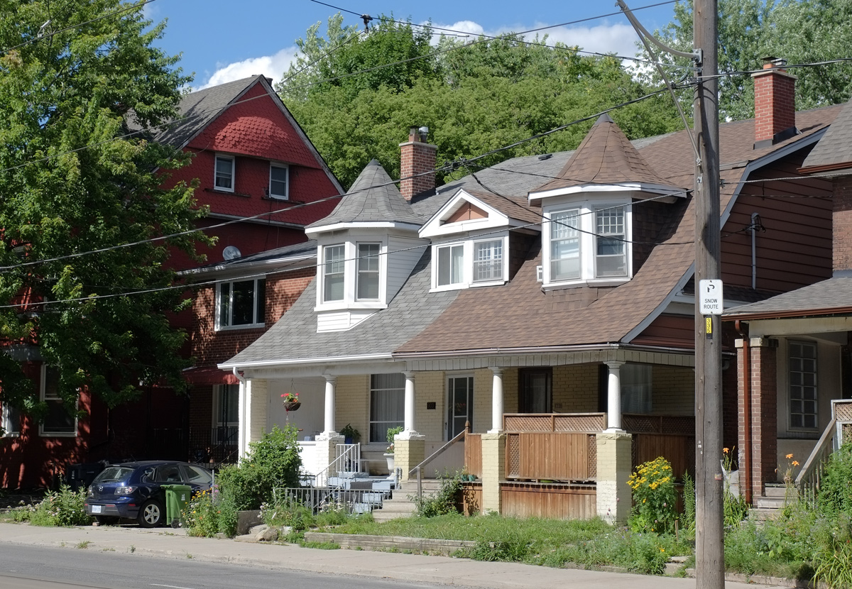
below: Slight larger houses, with turrets even! (or is there another name for this architectural element?)
below: This is part of Coopers Hawk Lane which is just south of Dupont.


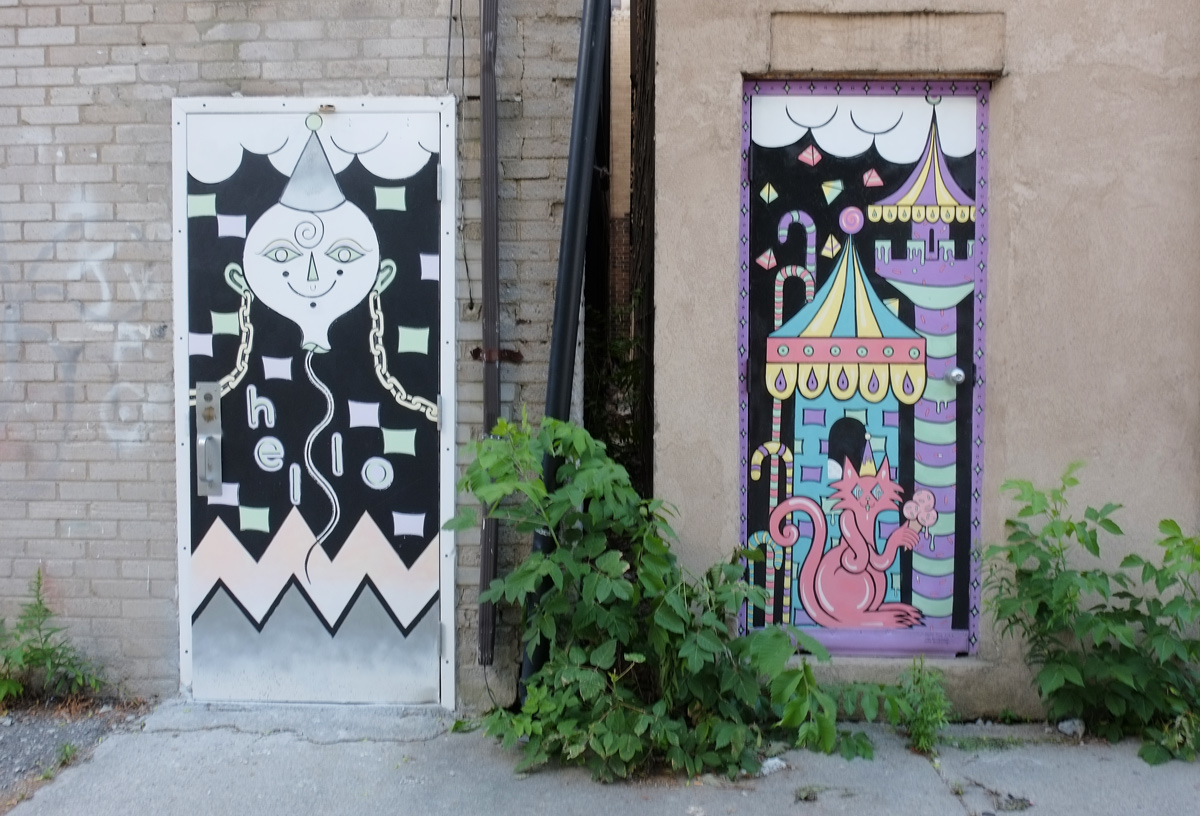
below: In another nearby alley …. a pink cat eating ice cream
below: And a gate with a frame, and the laundry beyond.