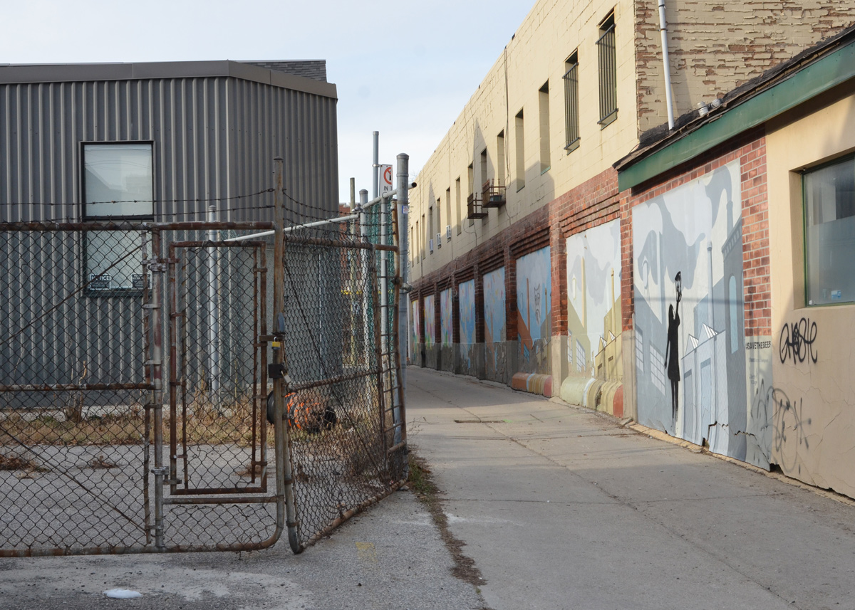
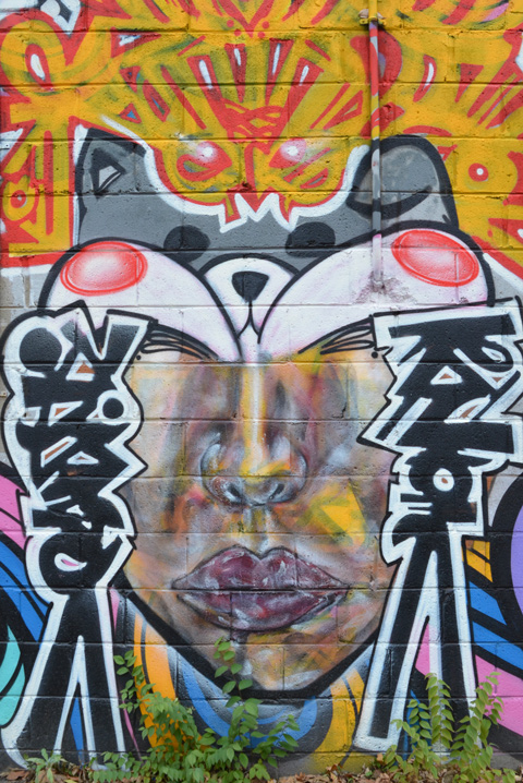
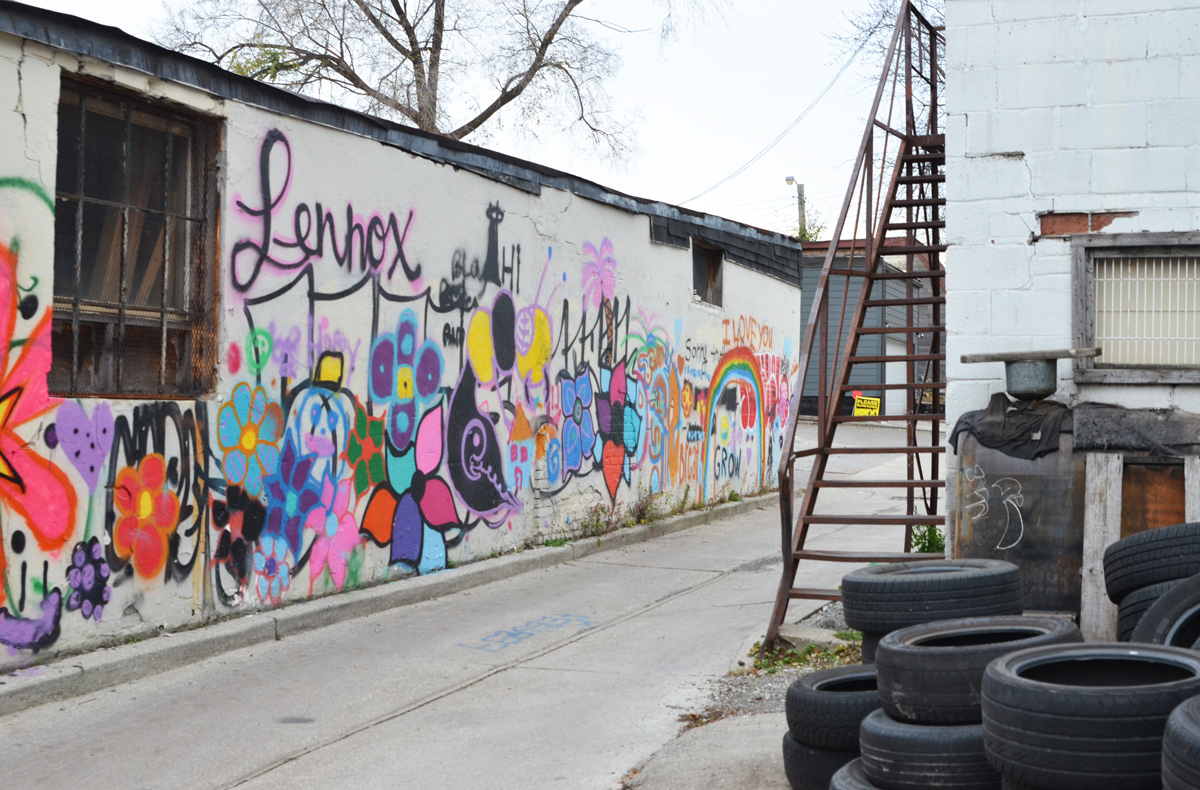
On Gerrard Street East, beside a parkette, is a grey concrete building that has been brightened by some paintings by Spud1 and kreech9 (and others?)

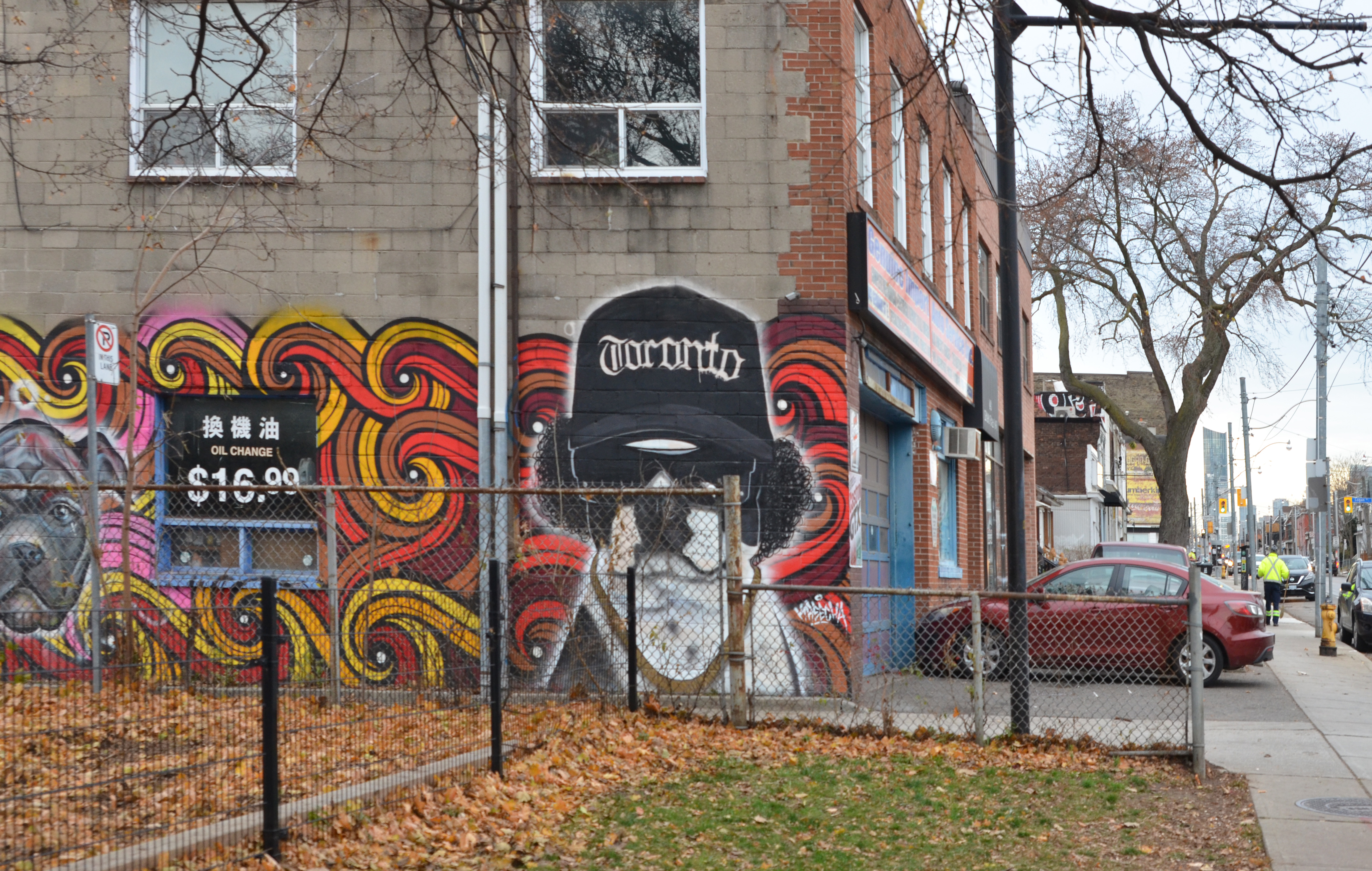
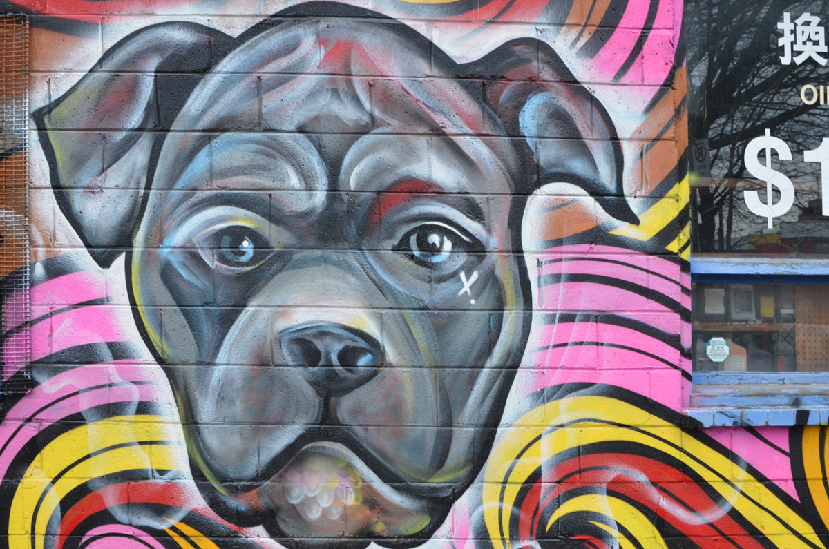
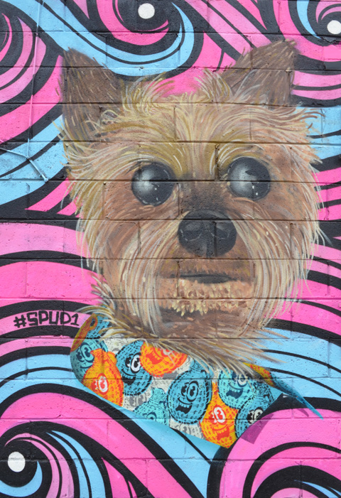

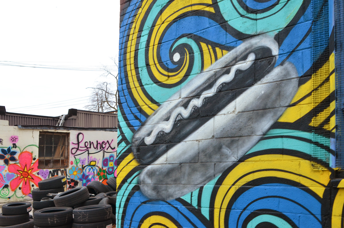
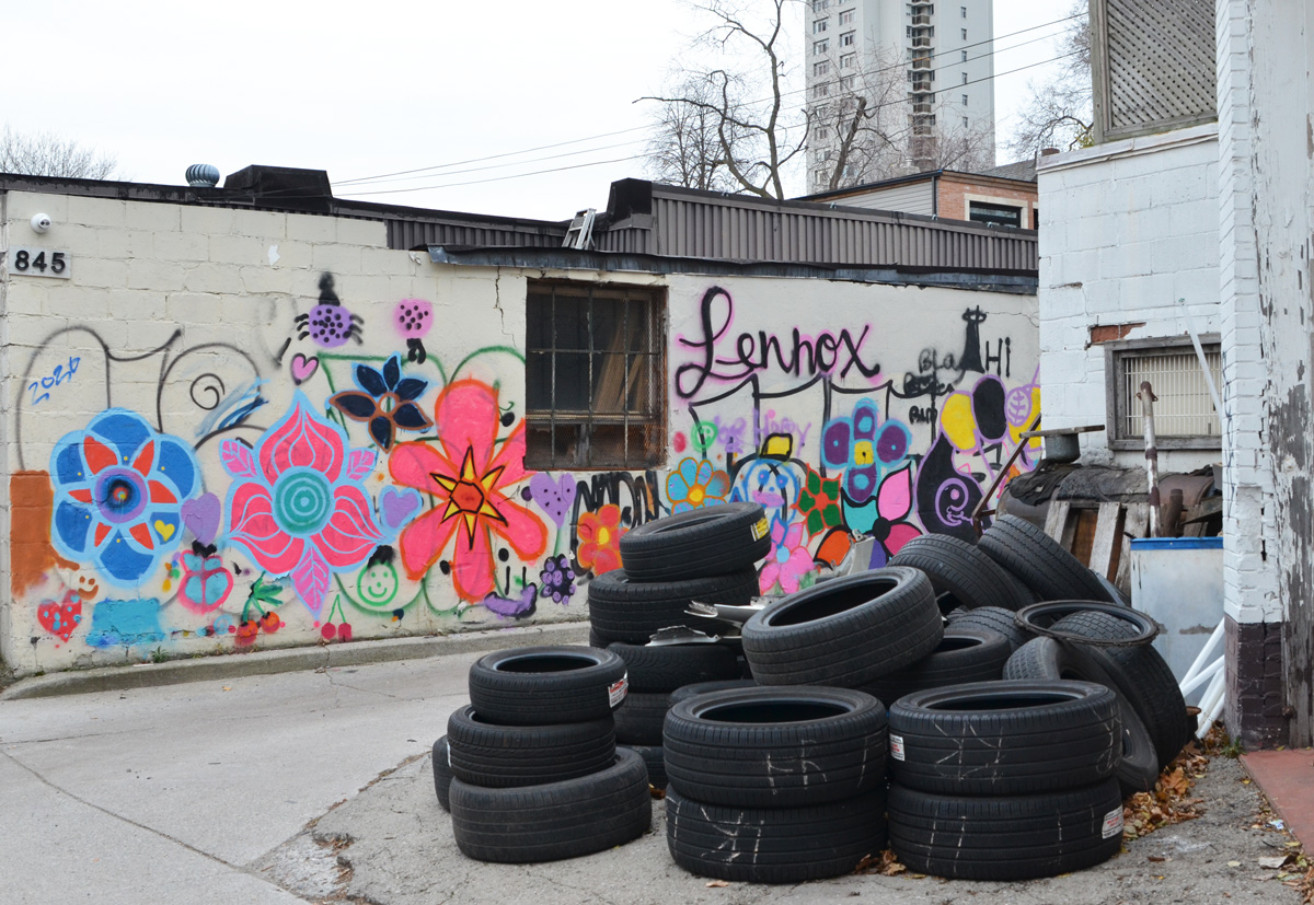
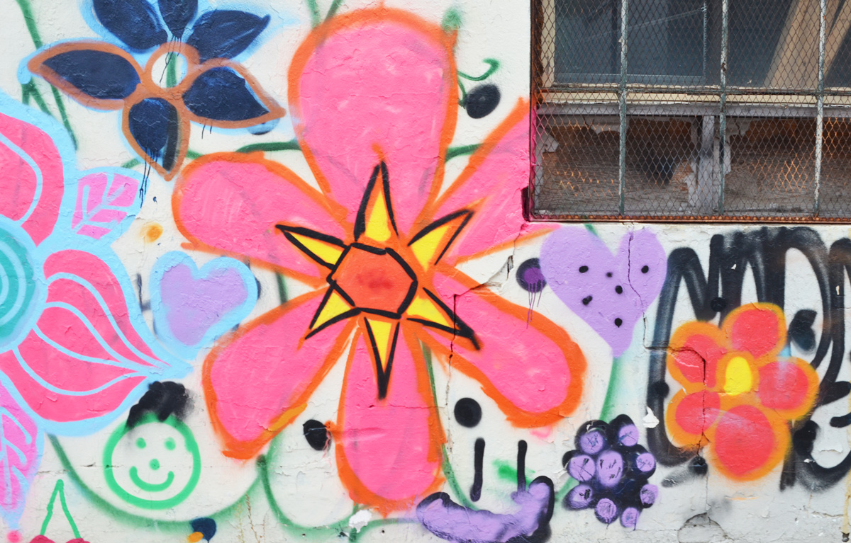
….And around the corner, past a pile of tires, is a wall of flowers, a happy face, and a rainbow.

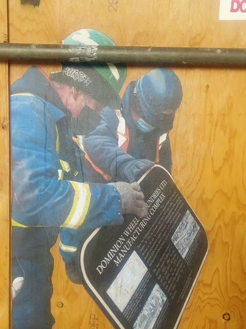
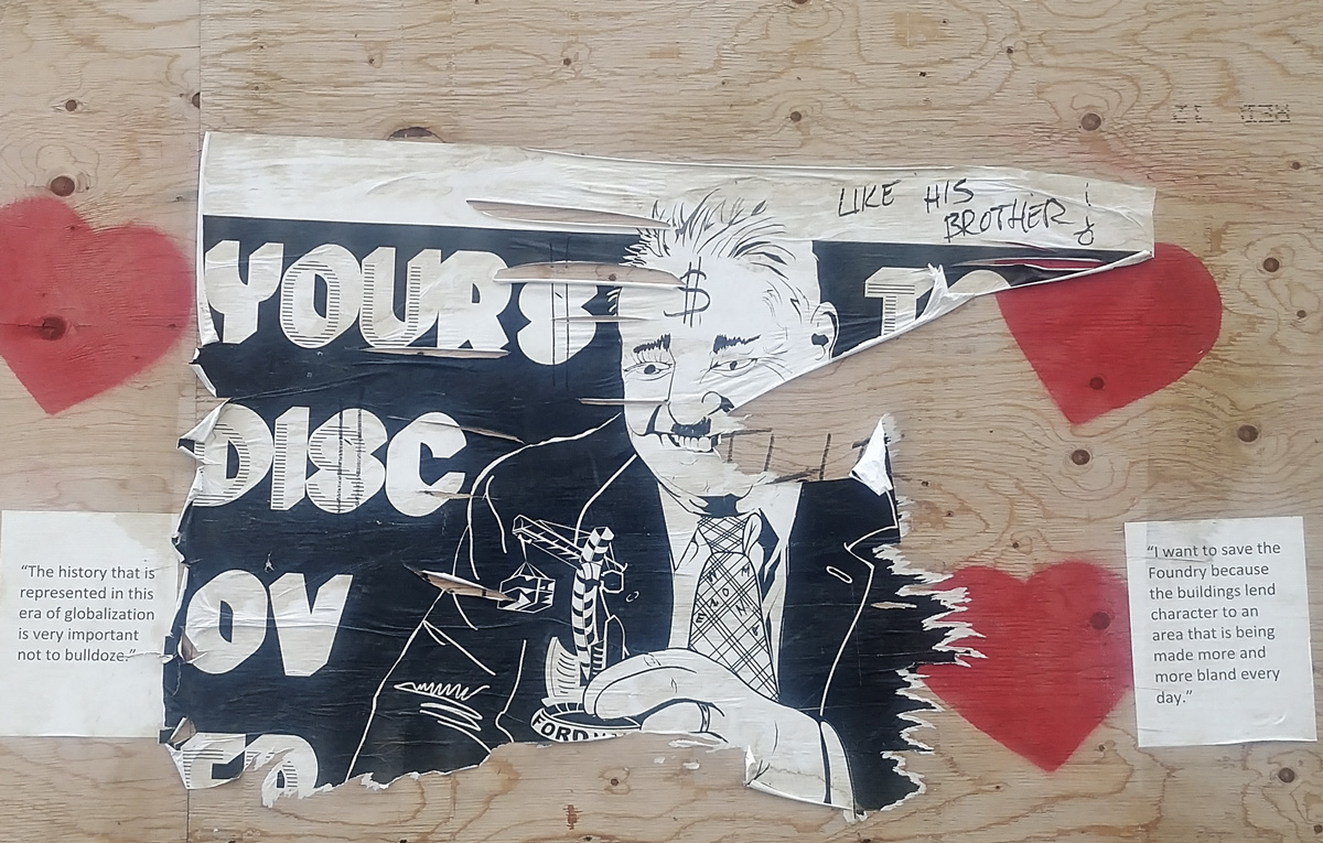
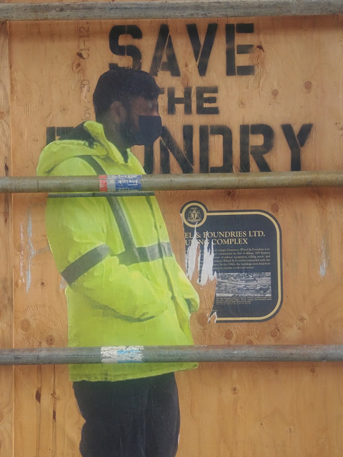
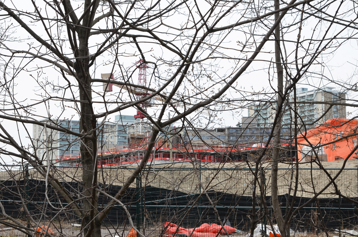
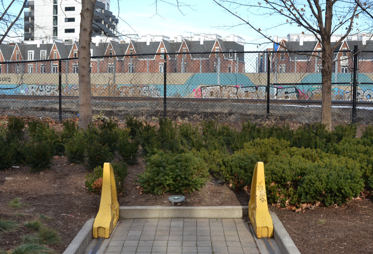
I read in the news this morning that the graffiti and artwork on the hoardings around the old foundry site in Corktown/Canary District are being painted over now. I had previously mentioned some of the stencils and posters that we here when I first saw them back in February. Unfortunately I am a bit behind on my posts so I haven’t uploaded the pictures that I took on a subsequent visit to the area…. here they are now. This is what is being painted over today:
below: “The history that is represented in this era of globalization is very important not to bulldoze”
“I want to save the Foundry because the buildings lend character to an area that is being made more and more bland every day.”
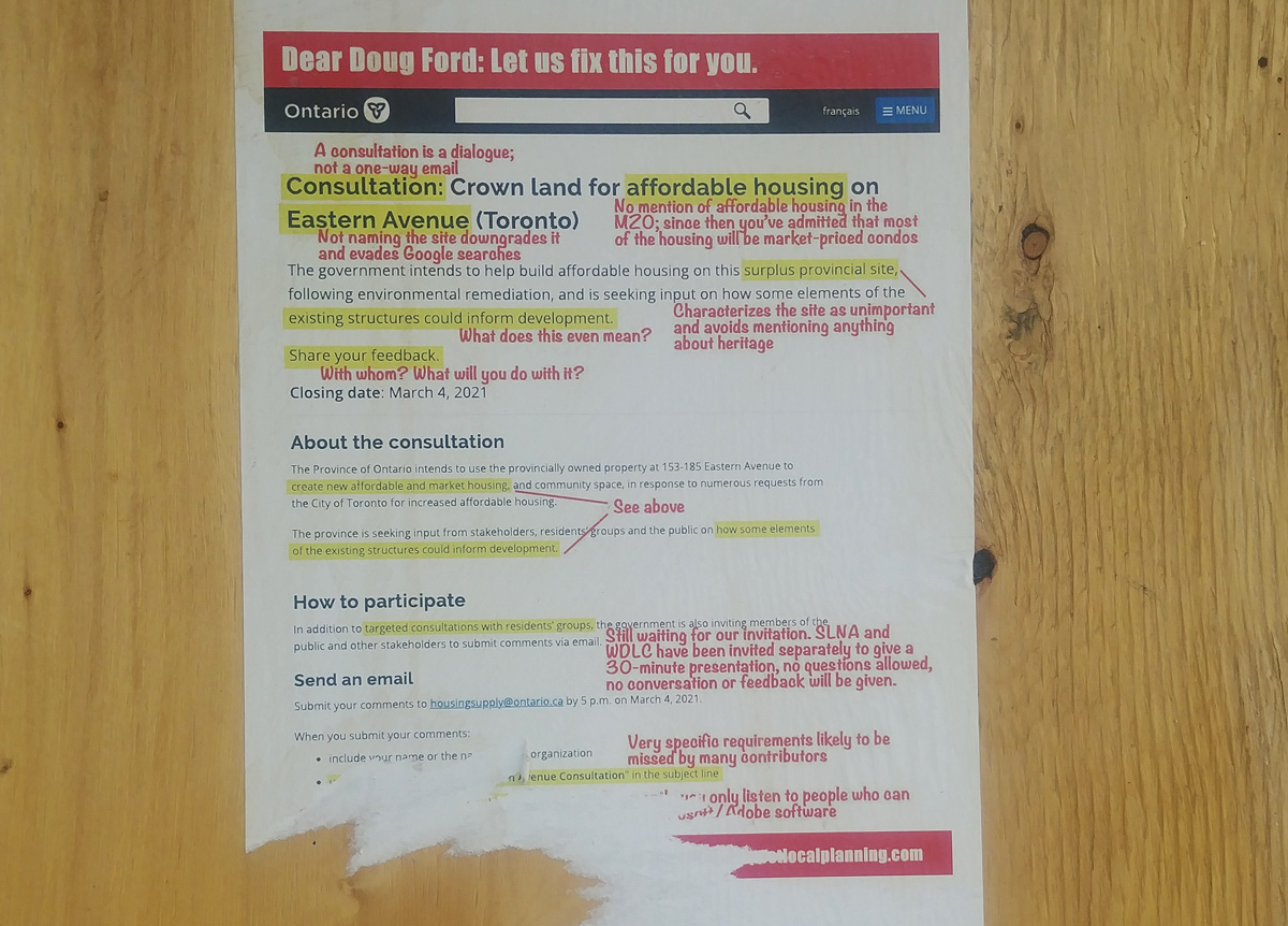
Meanwhile Doug Ford can’t keep his hands off Toronto City Hall.

below: “Municipal Destruction Minister Steve Clark screws up plans for A-Ford-A-Bull-Housing.”

below: Why Doug? Why?

below: “Dear Doug Ford: Let us fix this for you.”


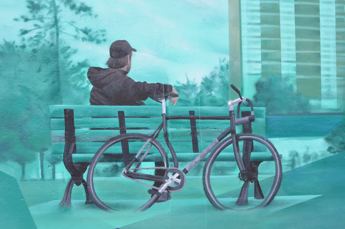
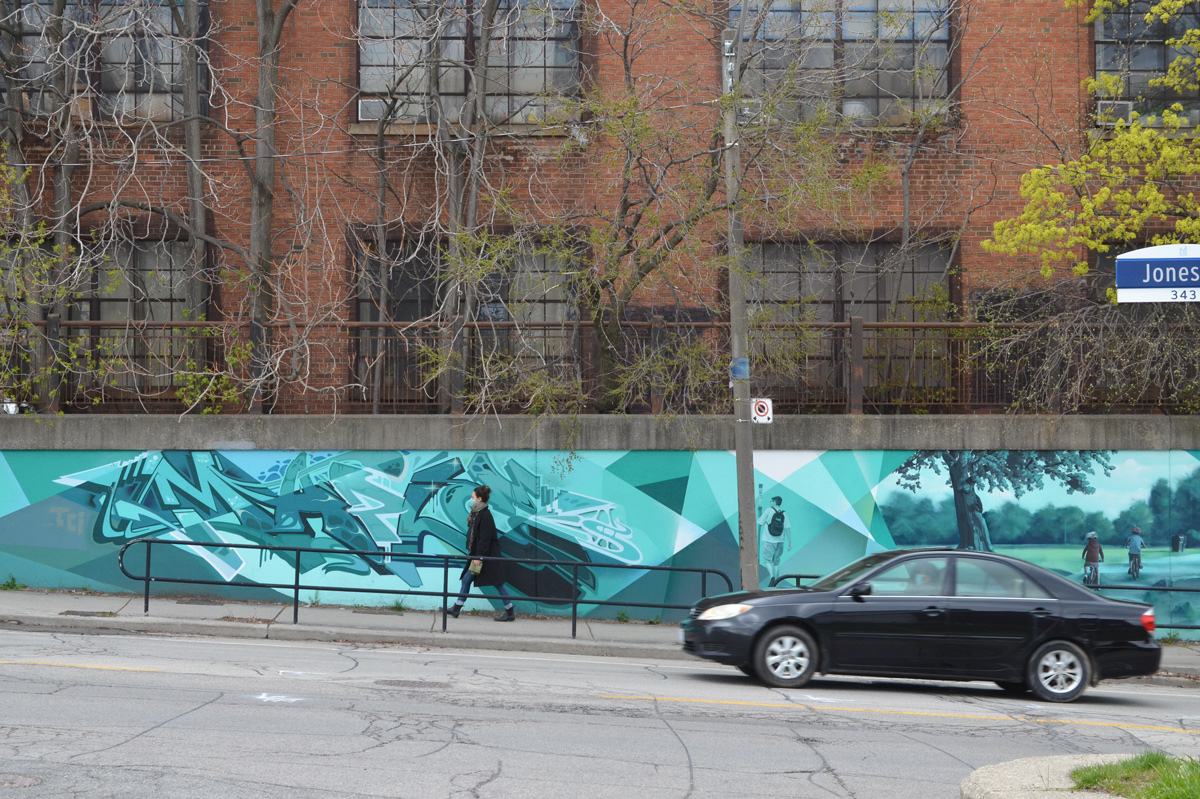
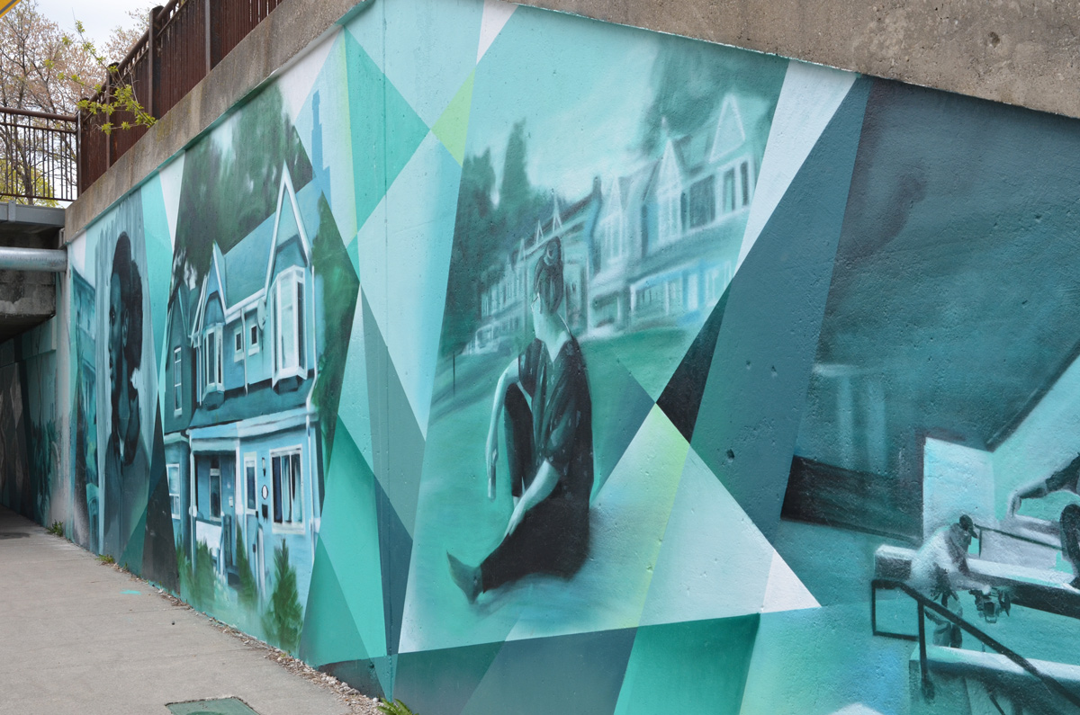
Initiated in 2017, the “Bridges to Art” program envisions murals on nine underpasses in Toronto’s east end. Several of the murals along the Carlaw-Dundas corridor have been painted including this one on Jones Avenue just north of Gerrard. It was painted by Jason Pinney and features scenes from the east end.


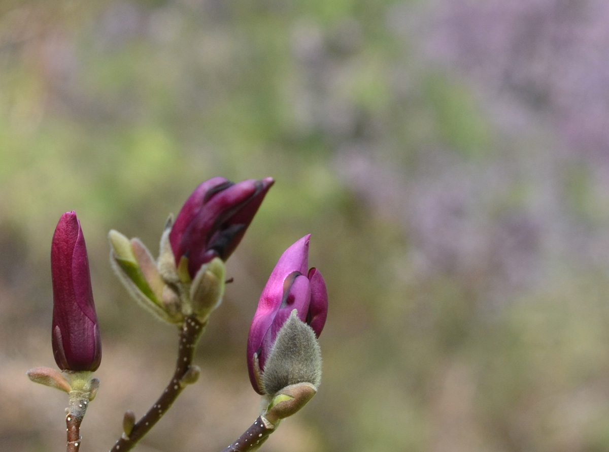
Wilket Creek forms one of the many ravines in the city. The northern part has been buried; it surfaces just south of York Mills Road and flows south until it joins the West Don just north of Eglinton. Edwards Gardens is part of the park system along the creek and that is where I met a friend the other day. It was her part of town and she was my guide for the day. The magnolia trees were at peak bloom and the fragrance of their blossoms filled the air.
below: Magnolia

below: Three magnolia buds ready to open up.
below: Other trees and shrubs were also laden with blossoms


below: Volunteers working in the Teaching Garden, preparing the beds for planting.

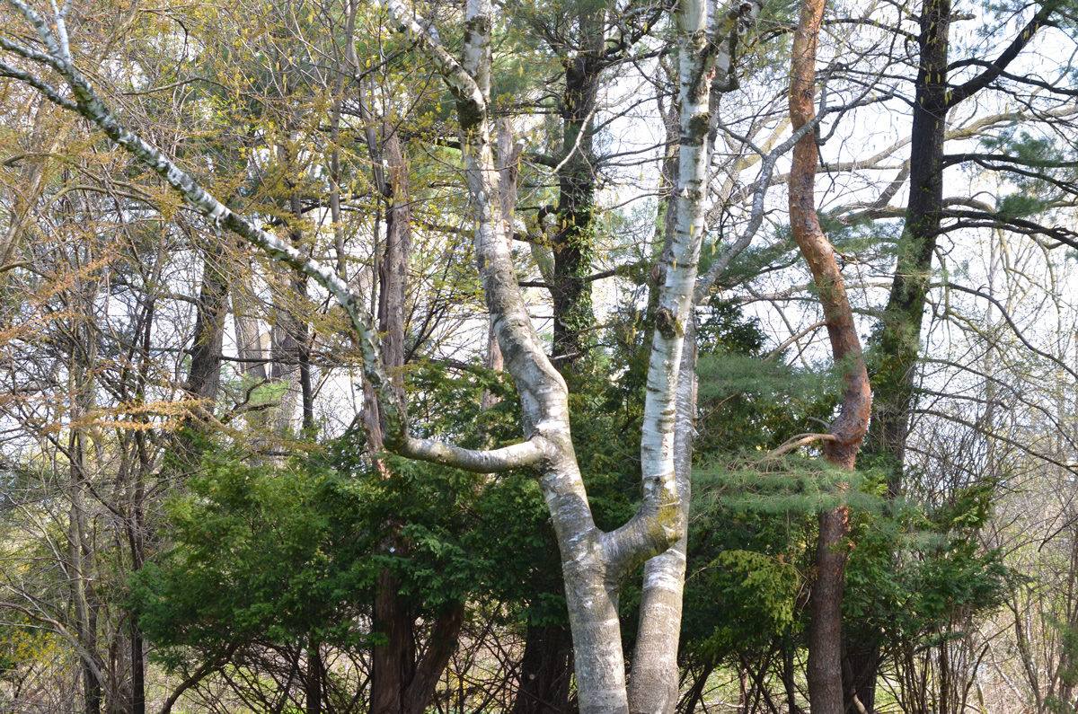
below: Some of the different types of trees that grow here – three different bark colours.
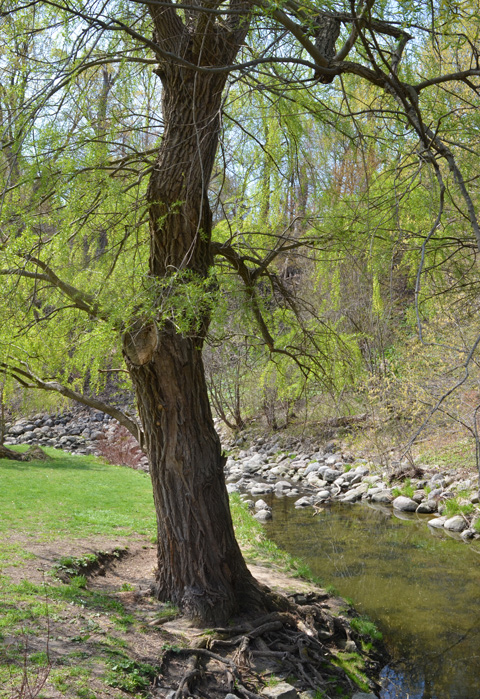
below: A willow tree by Wilket Creek
below: Dawn Redwood tree (aka Metasequoia tree)

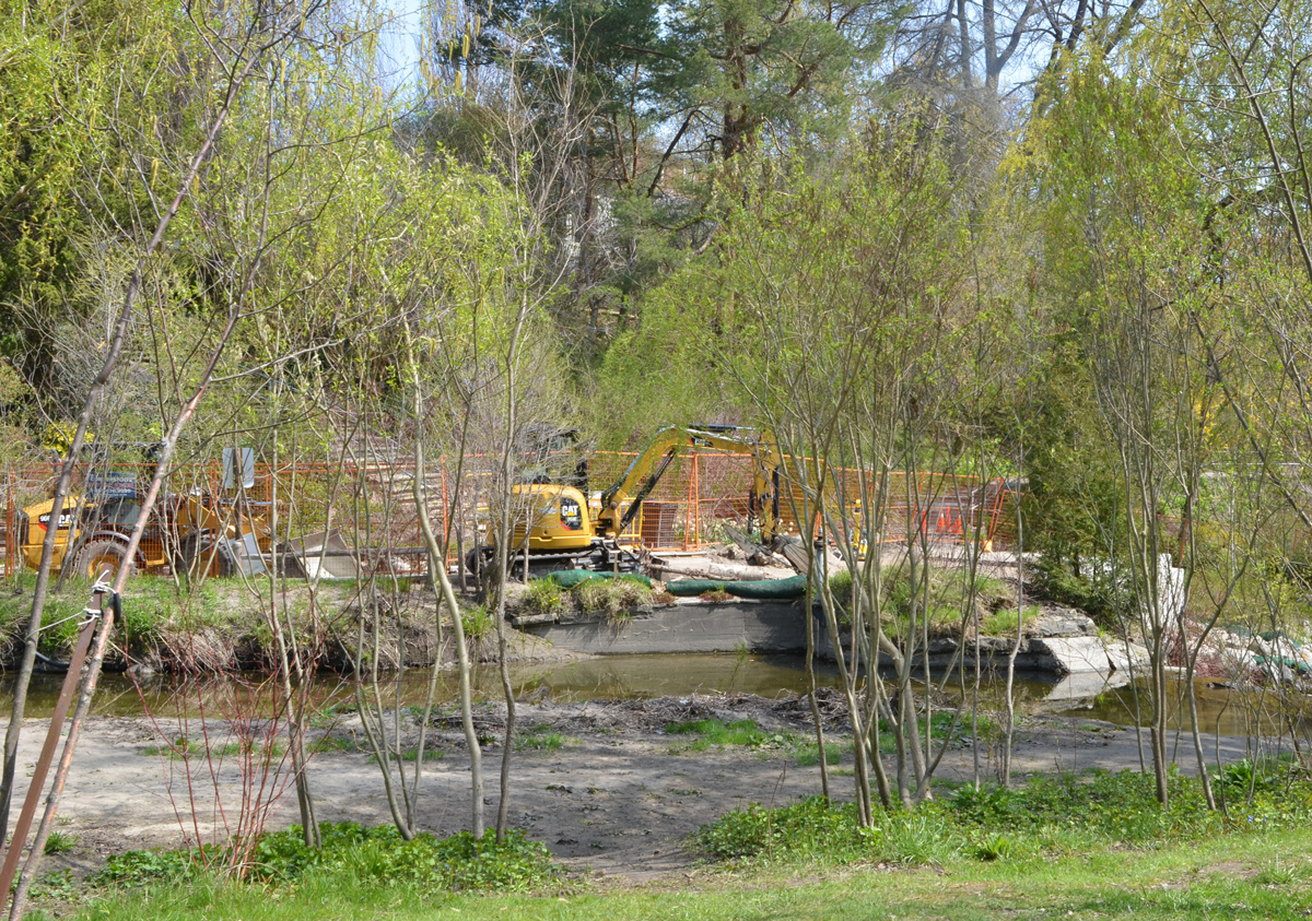
below: Parts of the gardens were closed for repairs to the banks of the creek and the path alongside it.
Walking the ravine north from Edwards Gardens is impossible – unfortunately, that stretch of the ravine is not open to the public. A gap in the system. We rejoined the creek at Windfields Park.


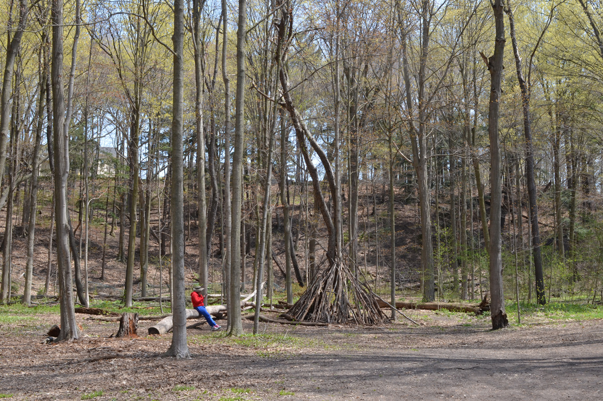
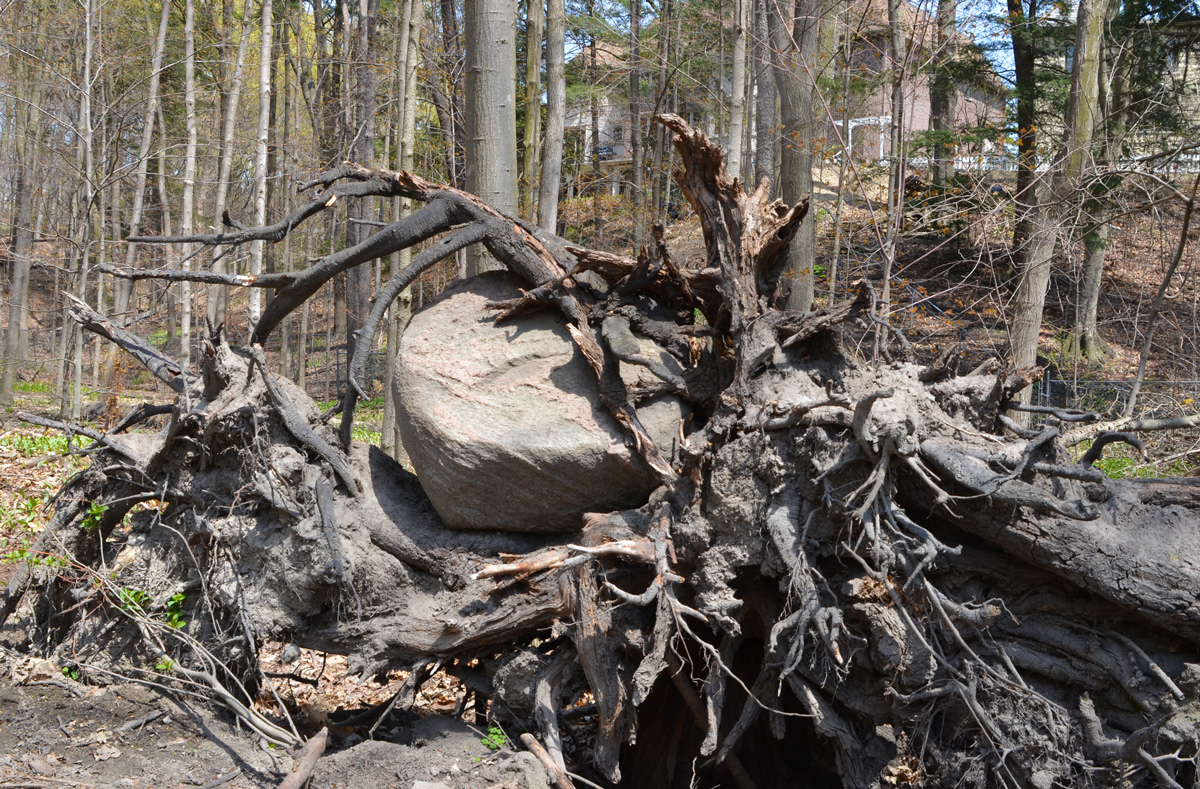
below: A rock stuck in a hard place, where rocks usually aren’t found.
below: Yellow wildflowers, Lesser Celandine which is apparently an invasive species.

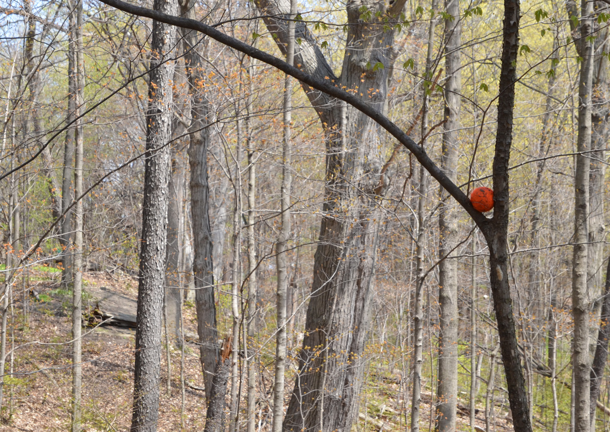
below: A tennis ball in the wild.
below: Two birch trees, probably Silver Birch because of the brown bark of the younger tree that will soon shed to reveal the white bark below.

below: Yellow trout lily. The flashy red parts hang downwards so they are hidden close to the forest floor. The flowers are difficult to spot but the mottled green and brown leaves give them away.

below: Bloodroot flowers

With thanks to Iskuhi for walking with me and teaching me the names of some trees and wildflowers. … and for some playing with sunlight and shadows (because that’s what photographers do!).


below: “88 Keys of Light”, a collaboration between Edward Platero and Kristyn Watterworth

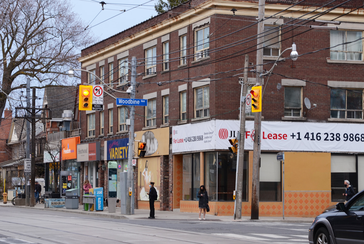
below: Southeast corner, Queen St East and Woodbine Ave

below: A cheerful dalmatian stands outside Firehall 227

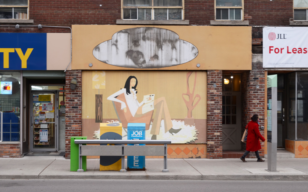
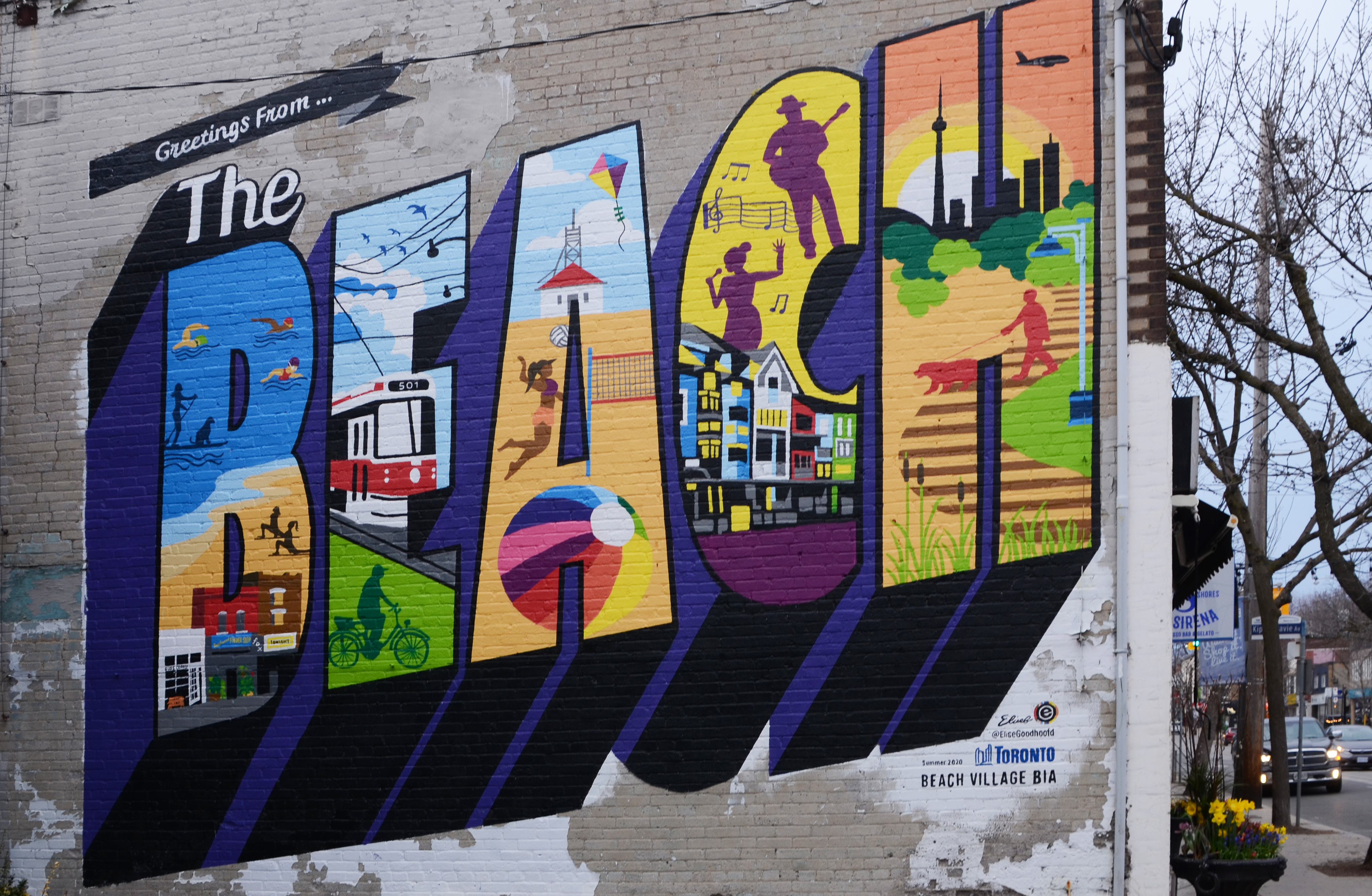
below: Mural, “Greetings from the Beach” by Elise Goodhoofd

below: A Lovebot sticker

below: Don’t tell her that her head is empty.

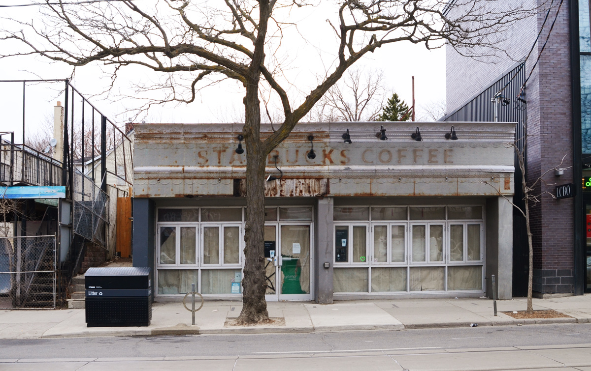
below: Another Starbucks gone.
below: faded to yellow
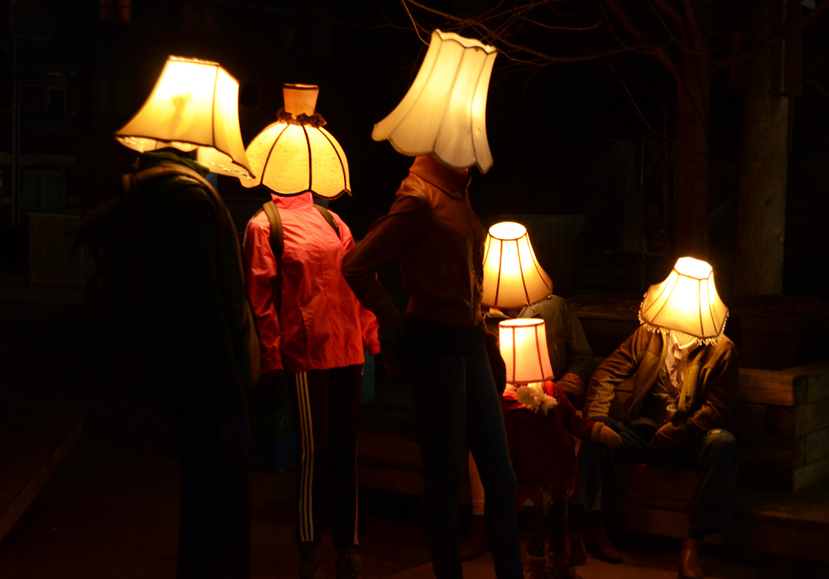
below: Another Luminosity installation, “Headlights”, by Collective Memory aka Robert McKaye and Stoyan Barakov

below: About an hour later….
below: Mural by John Kuna painted in 2019. It replaced an earlier mural (2007, by Rudolf Stussi) that had deteriorated.

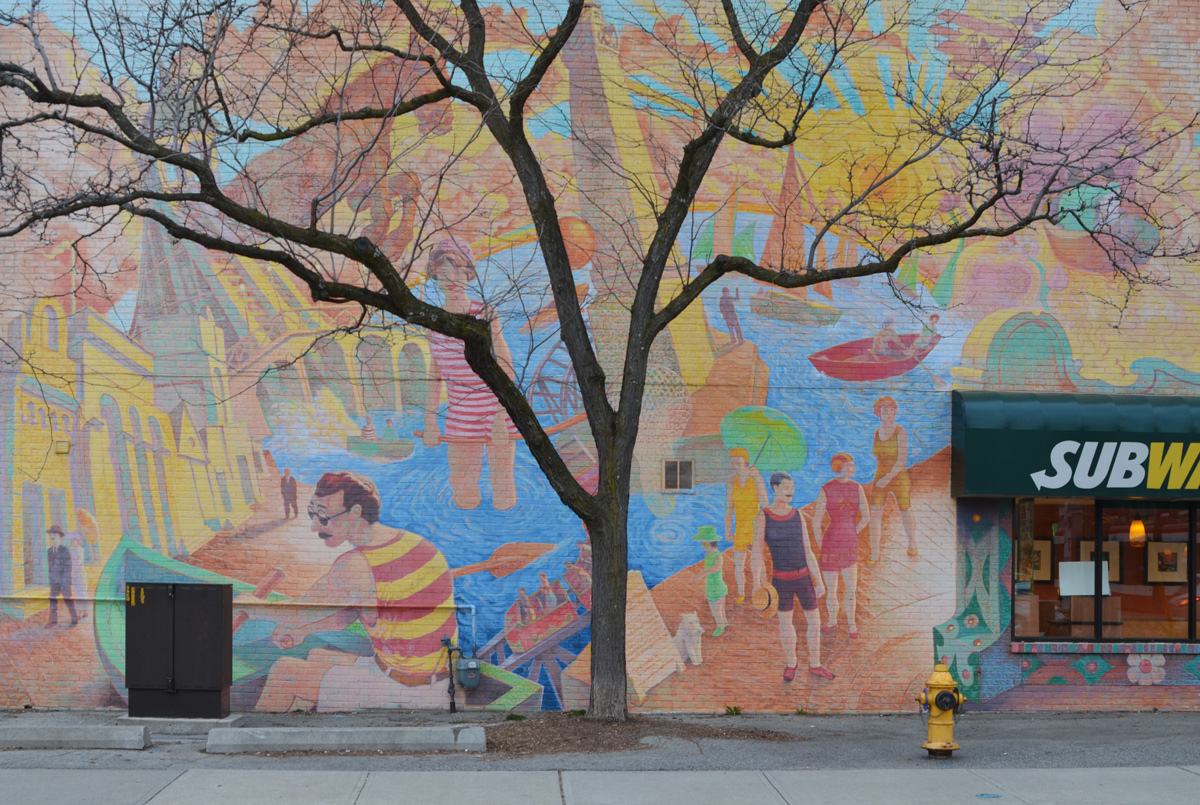
below: Part of a mural, Scarborough Amusement Park, by Daniel Seagrave, 2008

below: Above the entrance to an empty store.

below: One of many hearts shining in the windows.
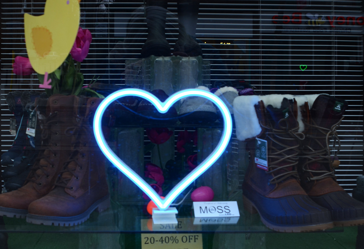
below: Looking in other windows too.


below: “Share the Love”, Thelia Sanders Shelton


below: Part of “Beacon Silo” by Chris Foster
below: Same installation but from across the street


below: “Out from under the Shadows”, by Bryan Faubert. Light passes through cutouts in the metal plate to make shadow pictures on the wall.

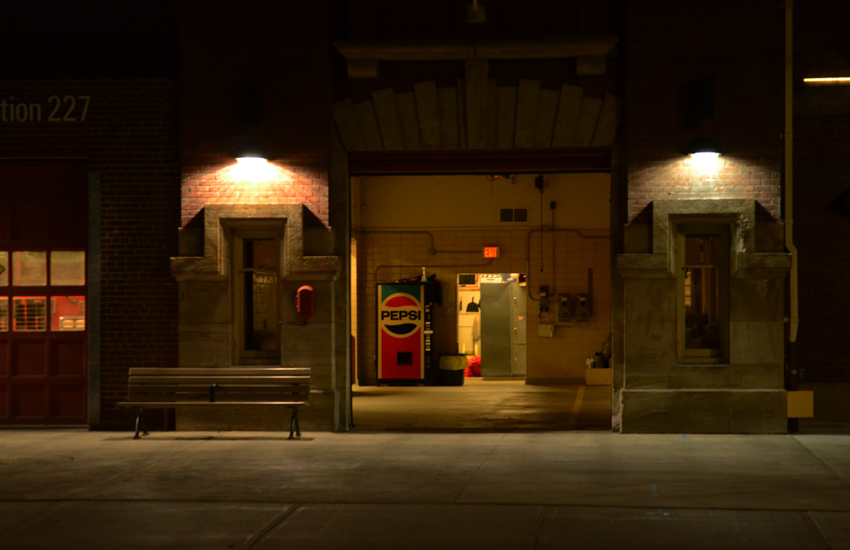
below: Firehall 227 with it’s clock tower
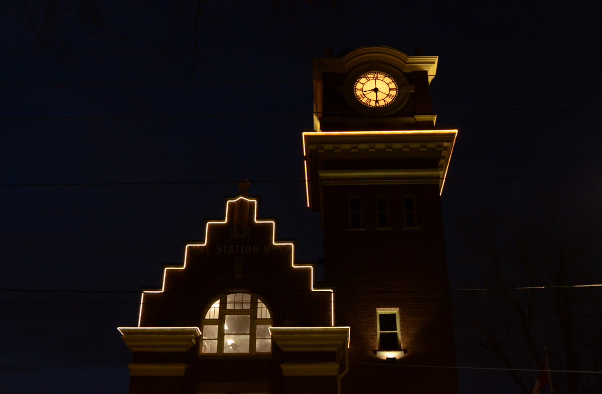
below: Open doors, Firehall 227
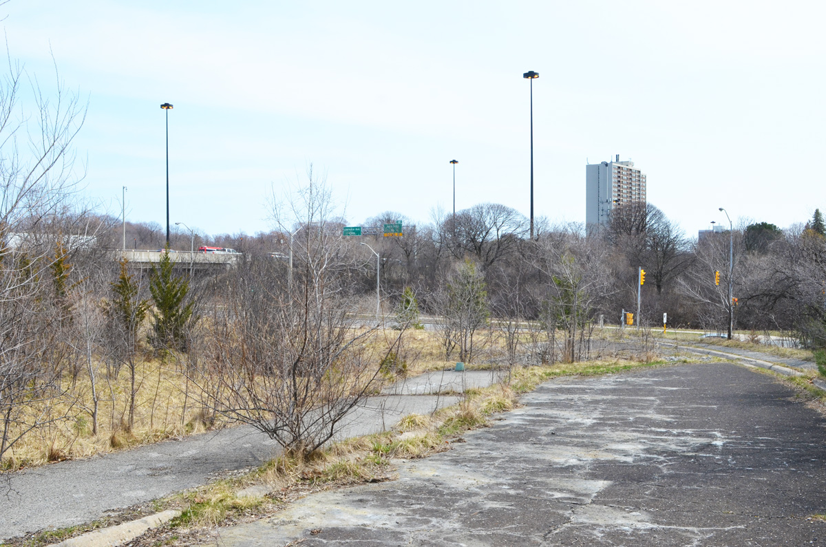
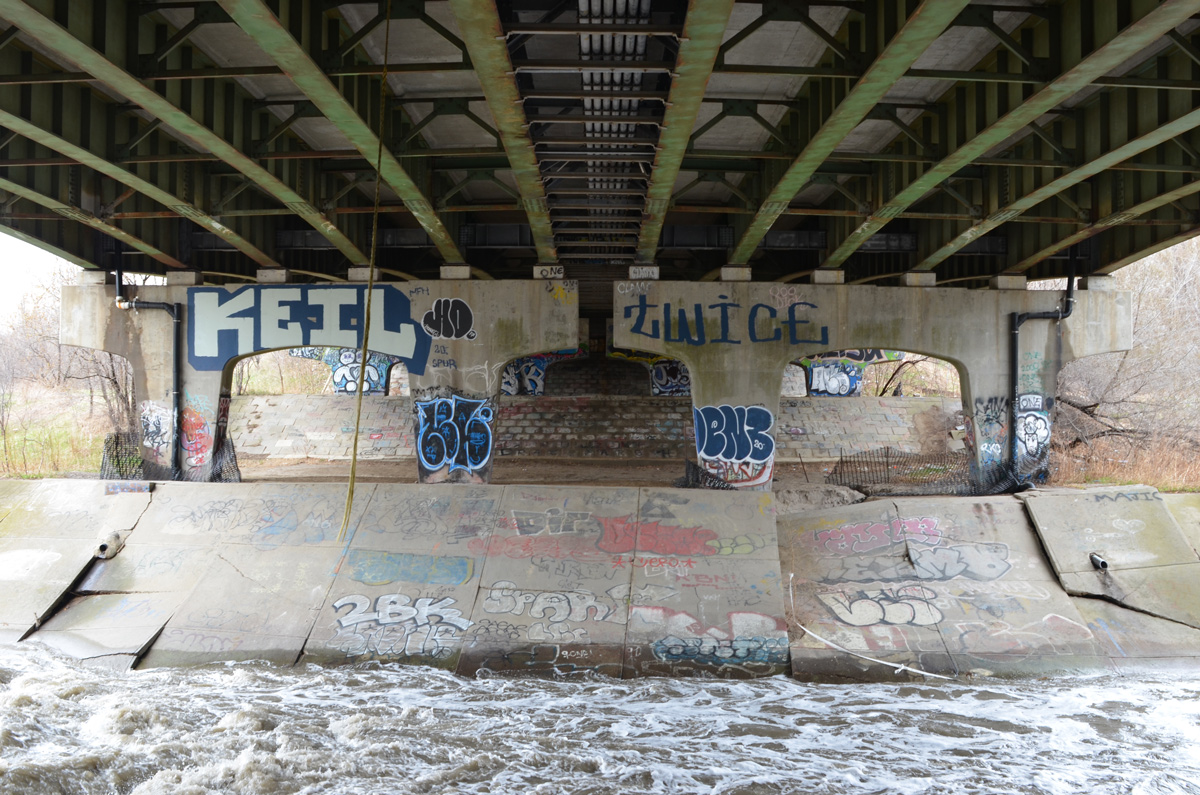
below: Up beside the Don Valley Parkway and way off the beaten track this time.
But obviously some people with spray paint know about this little green corner of North York.
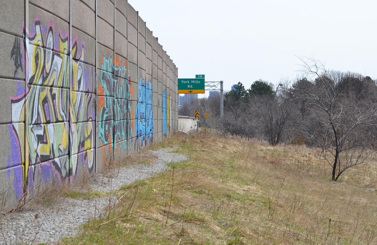
below: More graffiti (text, throw ups) along the concrete barrier beside the southbound traffic

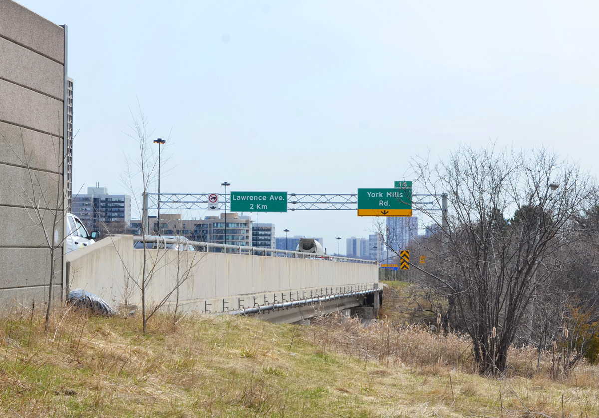
below: A dead end on an abandoned road. This is part of the remains of an onramp for the southbound Don Valley Parkway from westbound York Mills Road.

below: This ramp was closed in 2005 and replaced with the present road configuration where all the on and off ramps are on the south side of York Mills. Except for creating a mound of earth along the York Mils side, the site was left untouched. Small trees are slowly taking over as nature gains the upper hand.

below: Still no parking

below: Walking east on York Mills Road


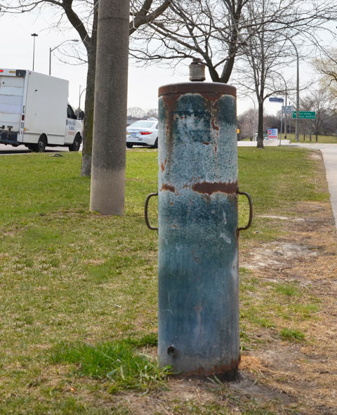
below: Any idea what this is? Something old and to do with water? At first I thought that it was sidewalk feature but now I suspect that someone ditched it here.
below: Looking eastward on York Mills Road
below: Walking through Deerlick Park

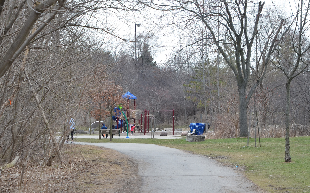
below: Playground on Deerlick Trail
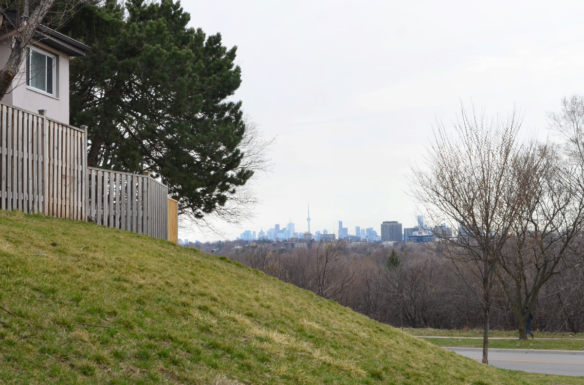
below: CN Tower and the downtown Toronto skyline in the distance
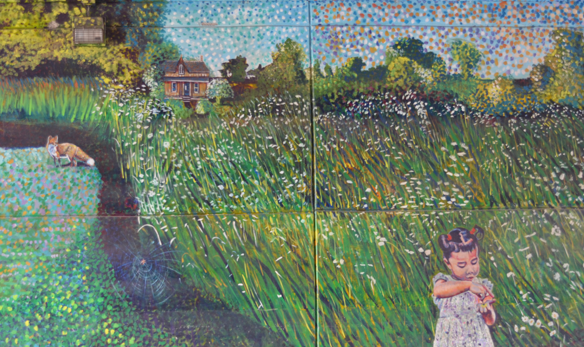
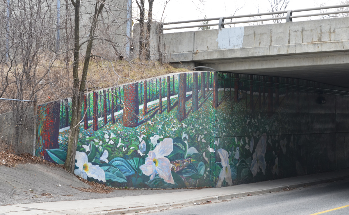
below: Trilliums under the Don Valley Parkway. Part of a mural on both sides of the underpass at Brookbanks. It was painted by Sarah J. Collard with help from Manny and Sonja Wiebe.


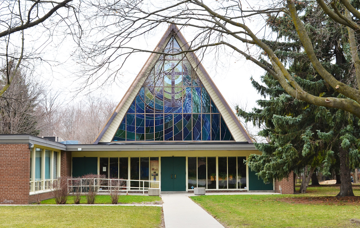
below: Church of Our Saviour with its large triangular stained glass window that was apparently designed by a local high school student.


From Three Valleys I tried to find a way to get back north to York Mills Road via parks and green spaces but I couldn’t do it. The next blog post was the result of a subsequent walk when I started farther north and attempted to find a path south.
below: No Eiffel Tower here!


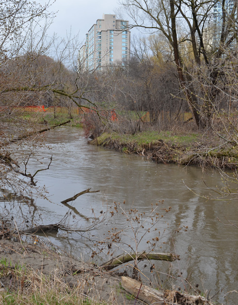
As you probably know, Toronto is full of creeks, ravines, and trails. Most of the creeks are tributaries of the Humber, Don, or Rouge River. This week’s adventure was along the Don River starting at the south end of the Betty Sutherland Trail. The north part of this trail begins at Leslie and Sheppard, just behind North York General Hospital (where parking is difficult). Even though early April is still brown and grey, there is always something to see.
below: Don River
below: Pussy willows – One of the first signs of spring

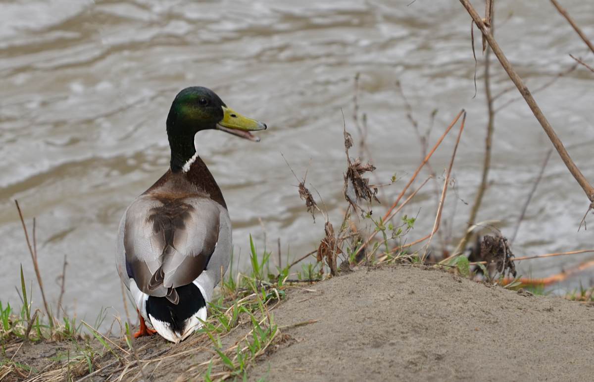
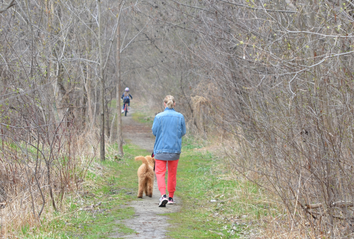
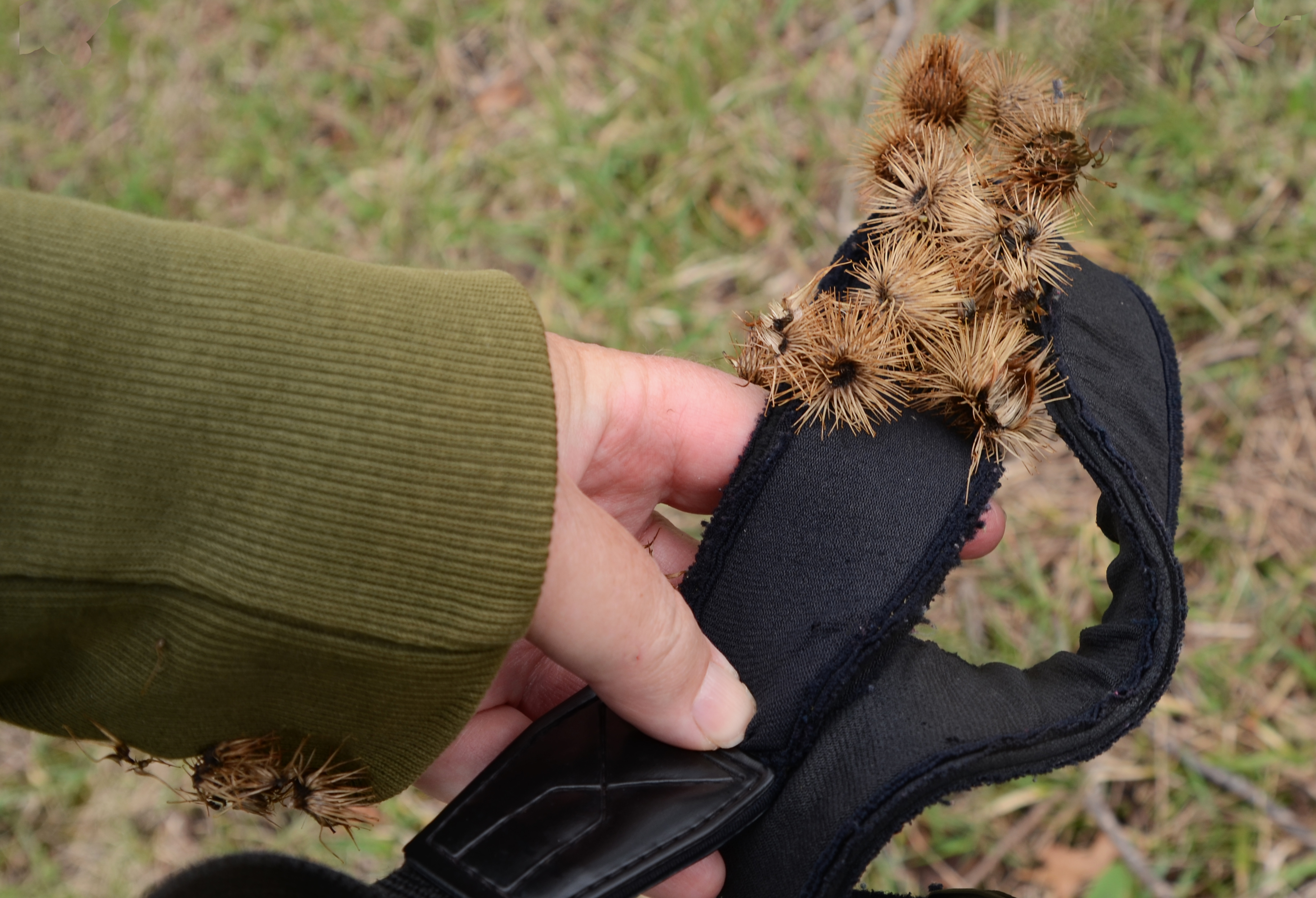
below: As I walked along the trail, I encountered this guy. He started getting agitated as I got close to the the river, but there was a photo that I was after…..
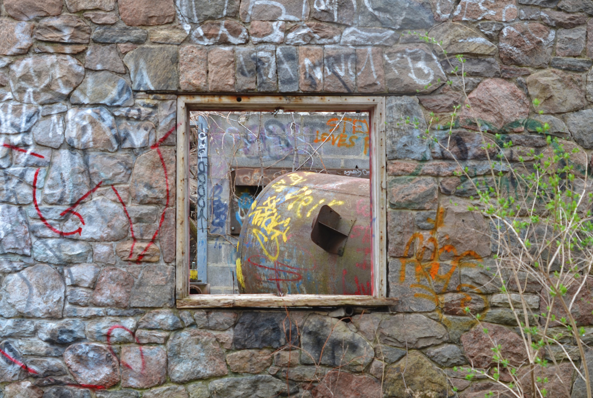
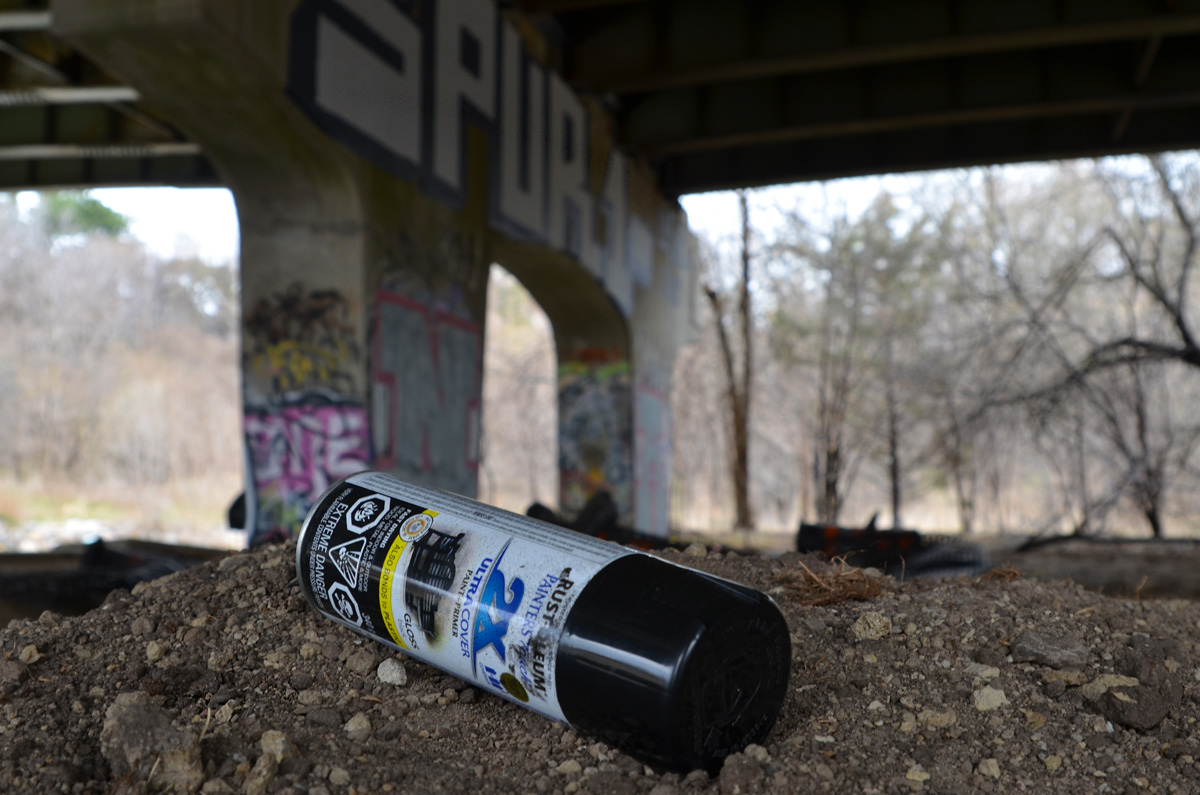
below: I had spotted colours through the browns and greys of the trees… graffiti covered ruins on the other side of the river.
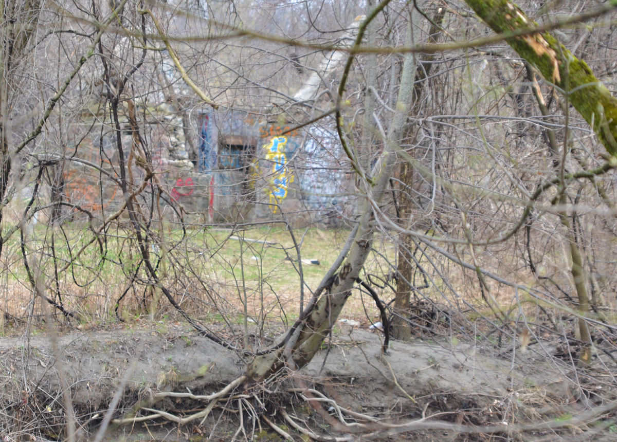
Of course I found my way across the river to explore them in more detail!
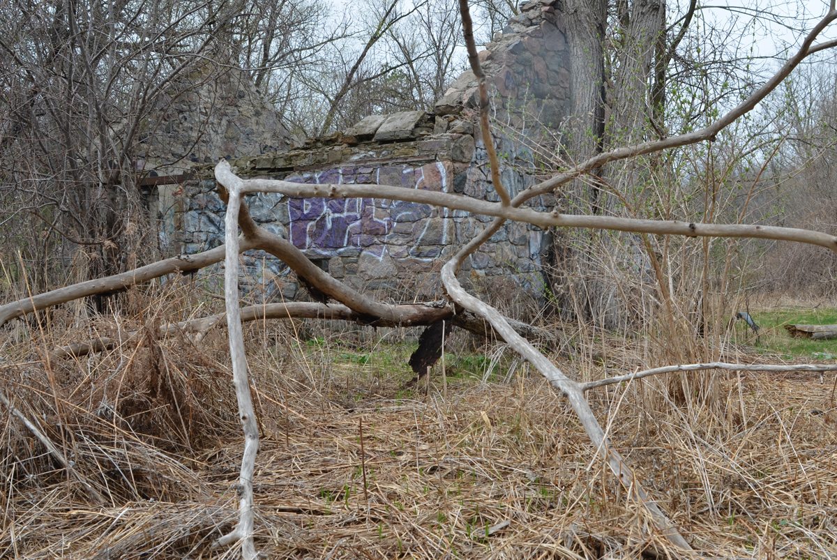
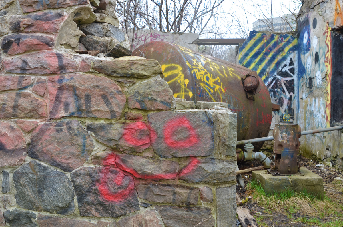
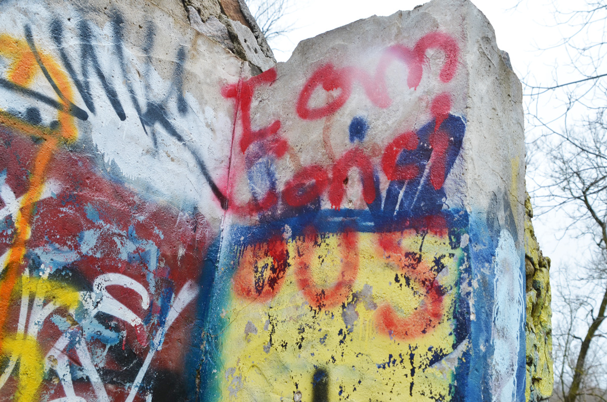
below: When I went looking online for information about this structure, I came across a blog post in Scenes from a City from 2013. It’s hard to see, but some of the graffiti remains unchanged 8 years later.

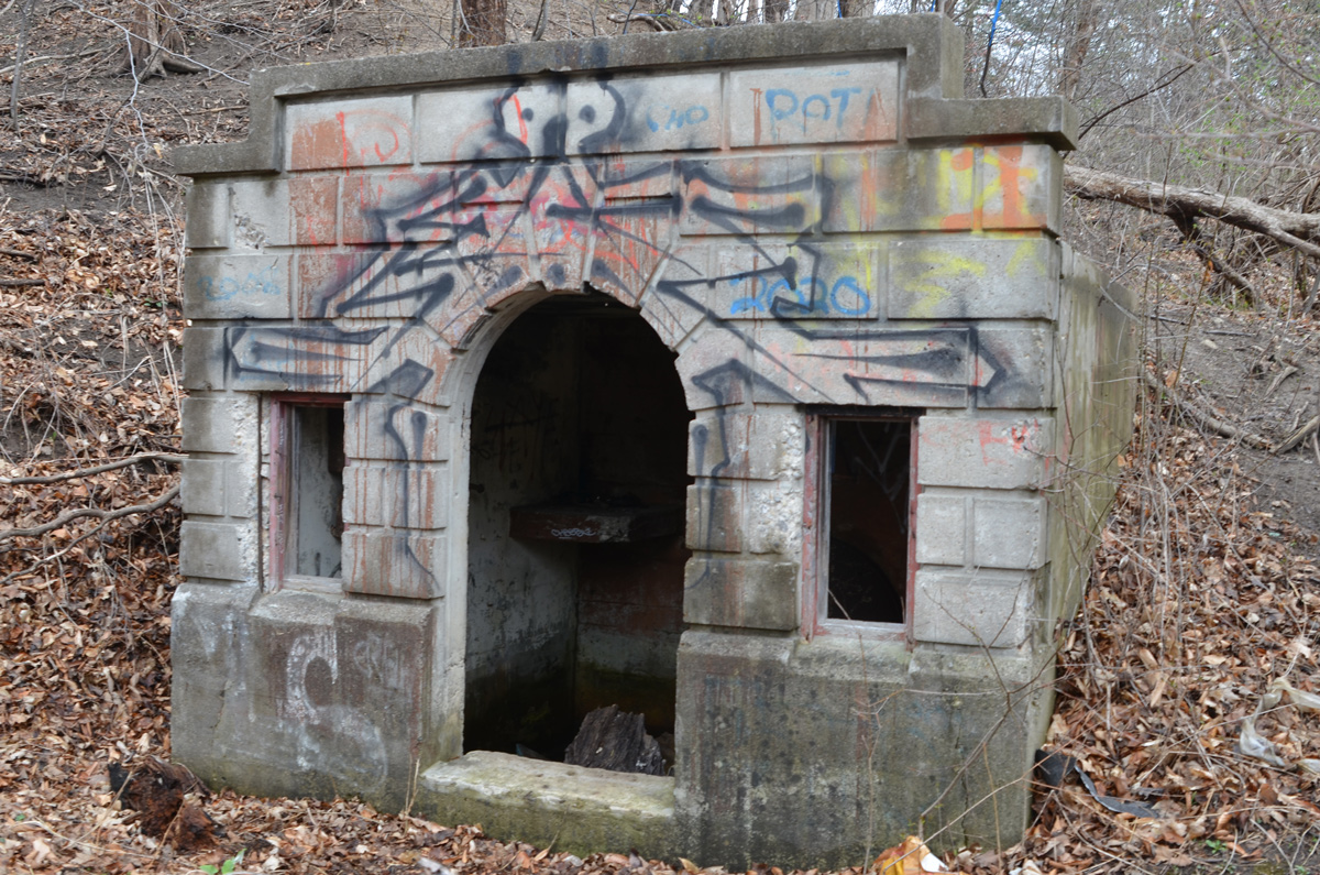
below: And right behind me I discovered a tunnel entrance built into the hillside
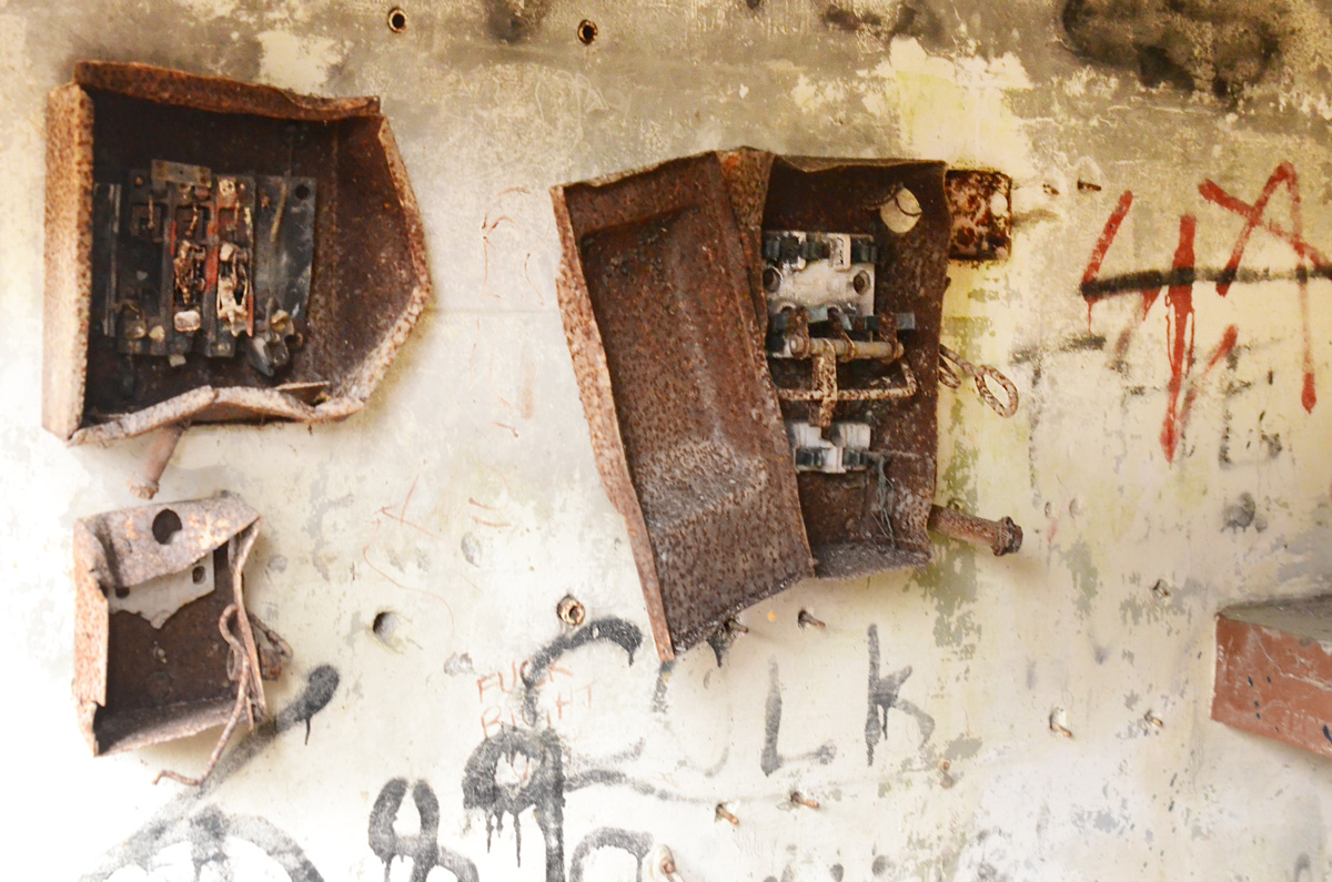
below: It was very dark inside so the quality of these photos is questionable, but I thought that the old rusty control boxes looked fascinating. How long have they been here?

The Betty Sutherland trail ends at Duncan Mill Road. I was trying to get as far south as possible, so rather than go up to street level, I went under Duncan Mill Road where my map showed that there was more green space.
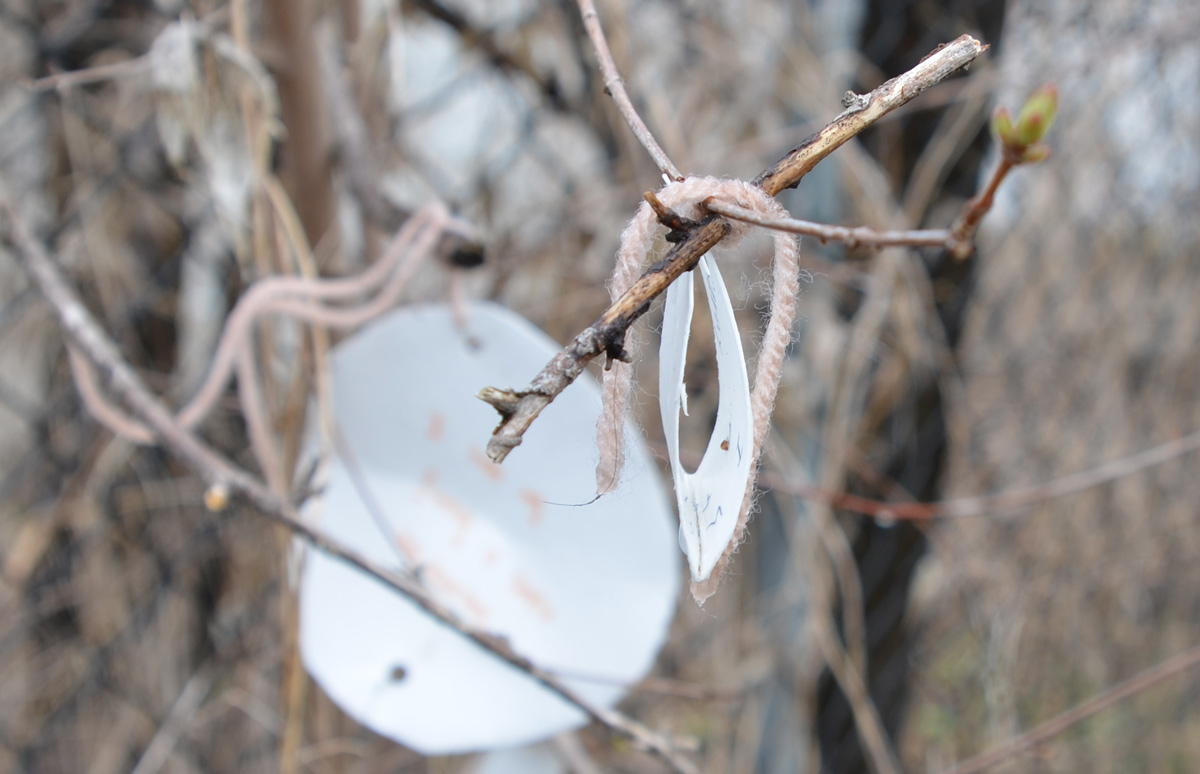
below: Wishes were written on pieces of paper, folded, and tied to a tree with pink yarn.
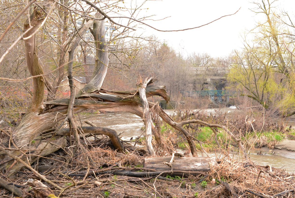
below: The tangled roots of a dead tree lie beside the Don River just south of Duncan Mill Road.
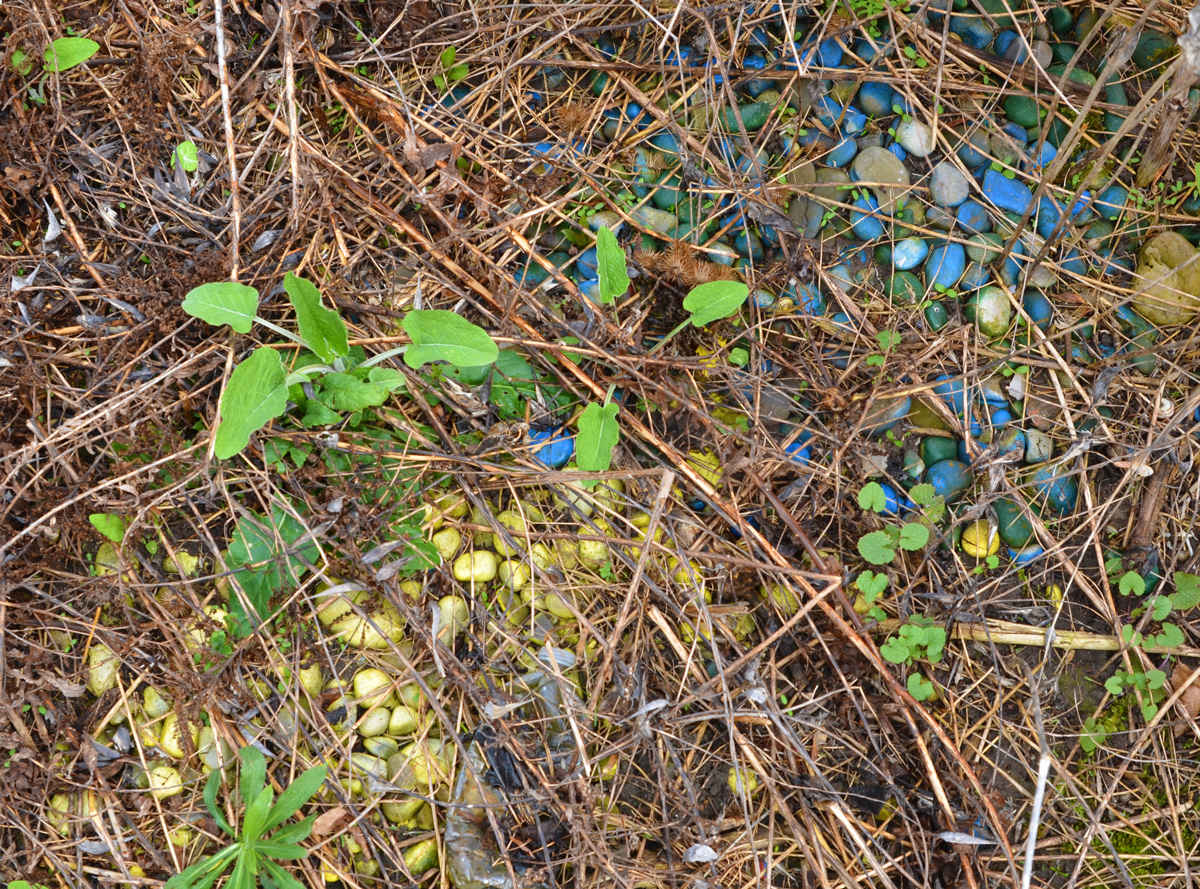
below: Blue and yellow rocks
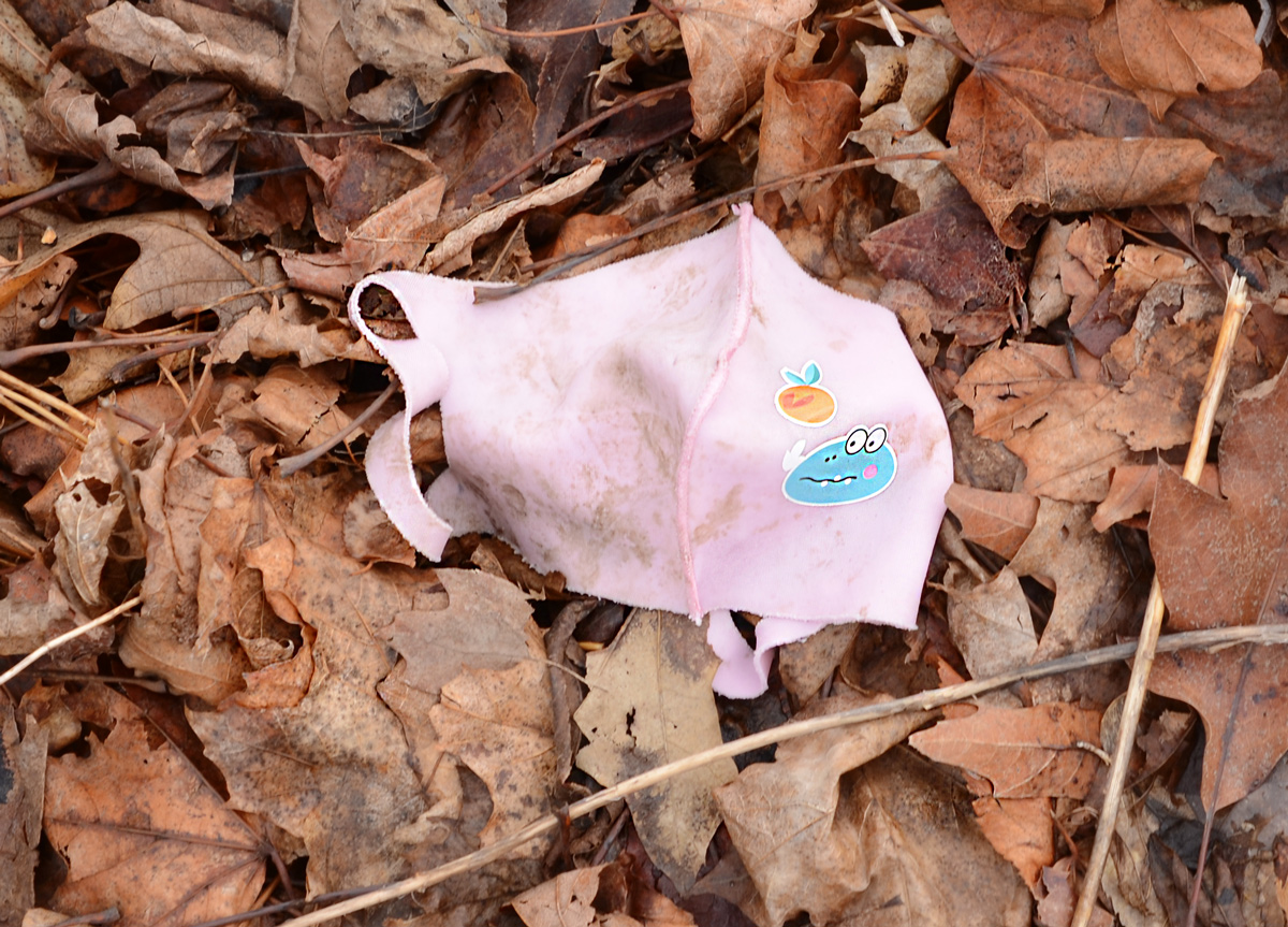
below: It wouldn’t be a walk without a (or several!) used mask lying around but this one is cuter than most.
below: Oh Oh
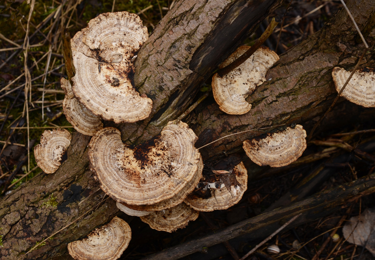
below: Bracket, or shelf, fungi on a dead tree trunk
below: Playing fields alongside Moatfield
below: Looking east towards Graydon Hall
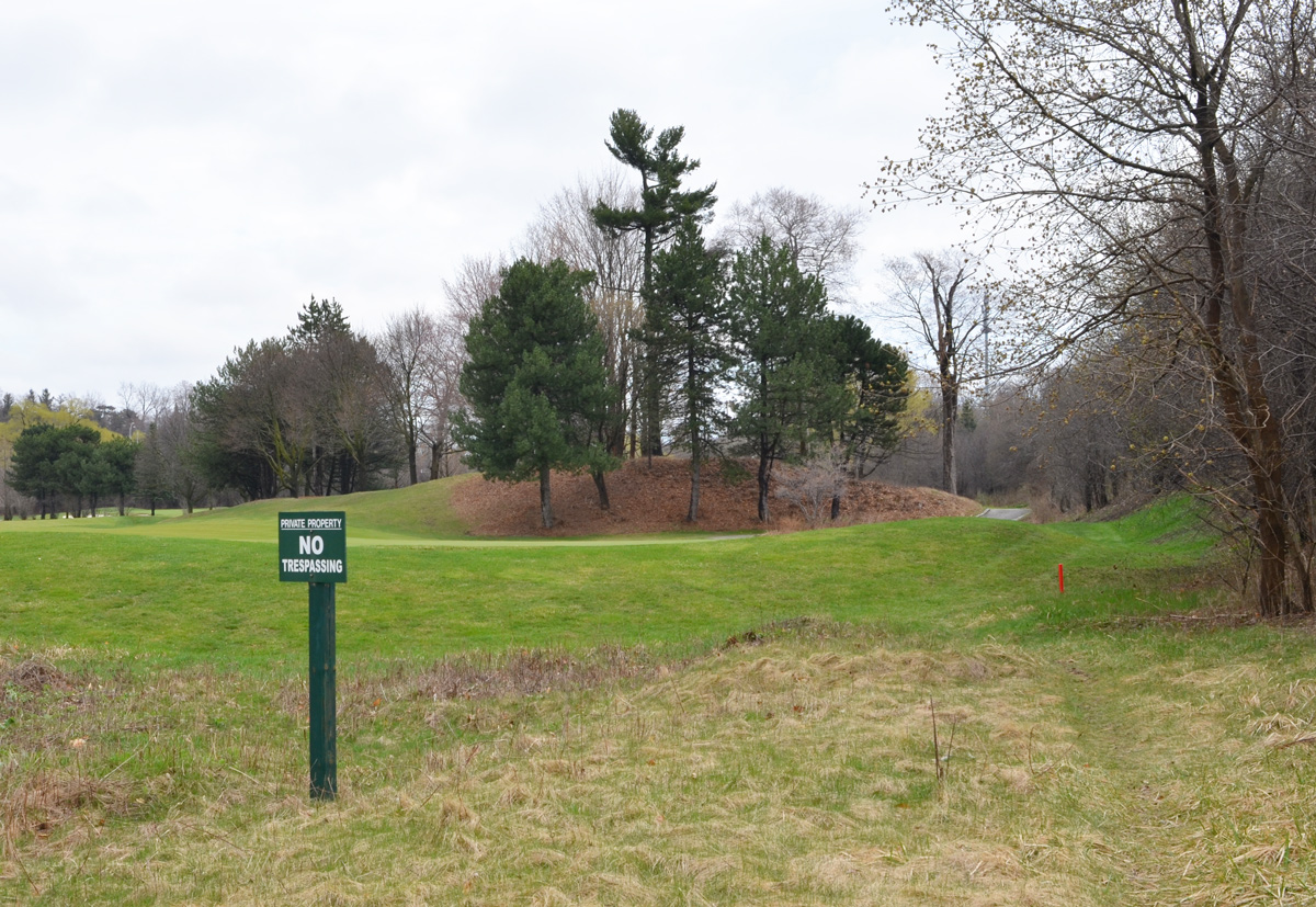
below: Now we are off the beaten track. That’s Don Mills Road with some graffiti on a pillar that beckons me forward. A few trees have been planted here but maintenance may be sporadic.
below: under the bridge


below: There was no problem getting under the bridge, but around the corner was an unexpected surprise – This appears to be the end of the line. Yes, it was green space but my map didn’t warn me that it was private! I didn’t have golf clubs with me so I wasn’t sure if I could sneak or bluff my way through – plus my car was behind me so it wasn’t worth the trouble to try.

“Betty Sutherland served thirteen years as an elected representative on North York Council until her retirement from politics in 1985. From 1979 to 1985, Mrs. Sutherland was a member of Metropolitan Toronto Council and the Metropolitan Toronto and Region Conservation Authority. Devoted to the improvement of recreational opportunities for citizens and visitors, Mrs. Sutherland was Chairman of Metropolitan Toronto Parks, Recreation, and Property Committee from 1982 to 1985 and a member of the Authority’s Don Valley Advisory Board from 1981 to 1984. The naming of this trail is a symbol of the significant contribution she made to Metropolitan Toronto’s regional parks.
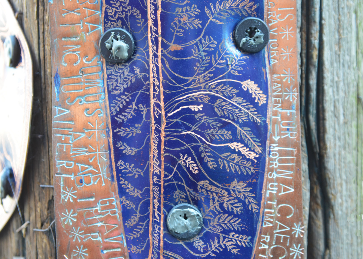
First, a quick Latin translation lesson
1. Ad perniciem solet agi sinceritas is Latin for “Honesty is often goaded to ruin”, a quote from Phaedrus
2. Bibere venenum in auro, another Latin phrase and it means “drink poison from a gold cup”.
3. Fortuna caeca est translates to “Fortune is blind.” from Cicero (died 43 BC, he was a Roman statesman, lawyer, scholar, and philosopher who wrote extensively).
4. Pulvis et umbraa sumus equals “We are dust and shadow” from Horace (died 8 B.C., a Roman poet)
5. Graviora manent – greater dangers await, or the worst is yet to come
These Latin words, and more, were all found here:
below: A closer view
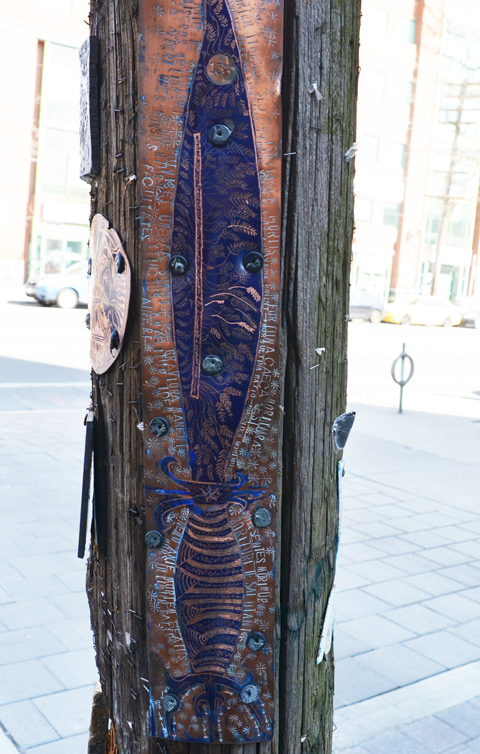
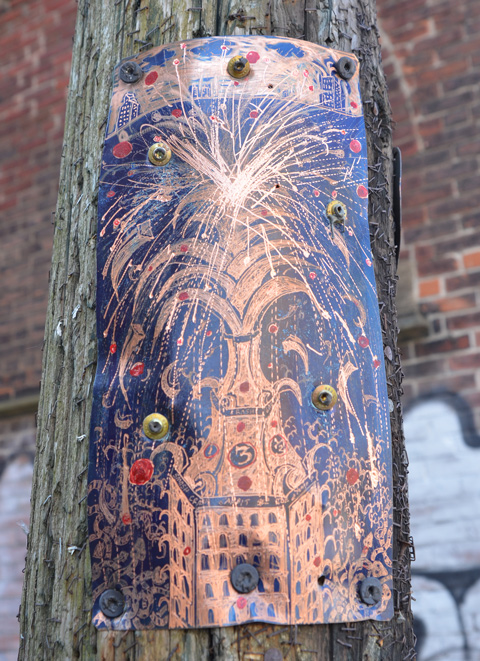
All of the following were on the same utility pole surrounded by a lot of old staples and tacks.
below: A crown with 12 + 1 + 1/2 = 13 1/2 fastened with an 8 point, or double square, screw.

below: Another 13 1/2, this time with with PJD and a fountain at the top of a building

below: Similar architecture is repeated in the next piece, but now it is a taller building with more than a fountain on top – it looks like a pineapple, or a grenade with fireworks.
below: In memory of Dudley George who died at Ipperwash, shot by the OPP. I’m not sure if it was intentional or not, but the screws resemble bullet holes.

below: The domed building appears to be upside down. The rain drops are “falling” the wrong way. Is that symbolic? Or because only one screw is holding it in place and it slipped?

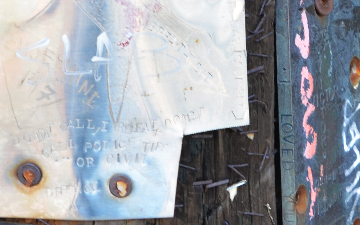
below: It’s difficult to see, but there are a lot of words on the light metal piece too, but not in Latin. There is also a bird whose feathers are made from Us and Vs.

below: “I loved you” is written on the side of the piece of metal. You’ll have to take my word for it, but the other side of the metal says “Too little too late”.
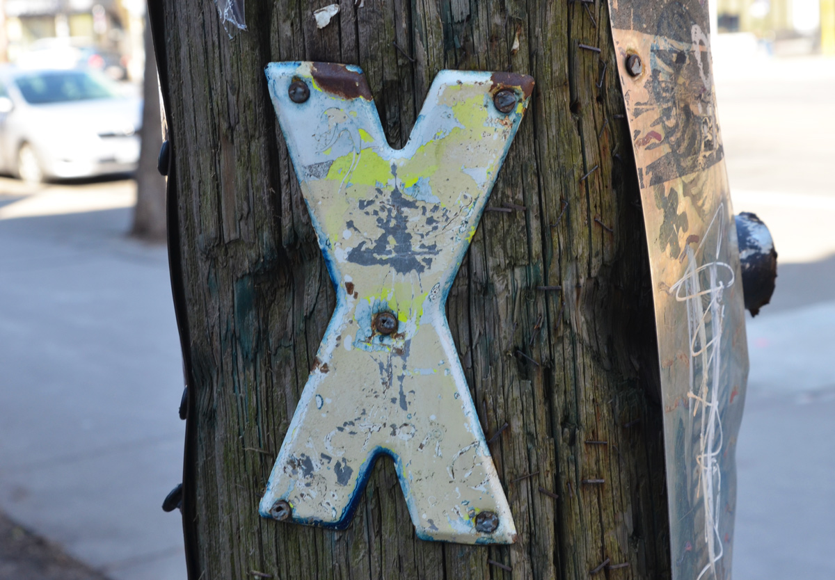
below: And last, just a plain X. Unfortunately, it’s like someone who signs their name by making an X as I have no idea whose artwork this is. Do you know?
And let’s hope that the worst is not yet to come!

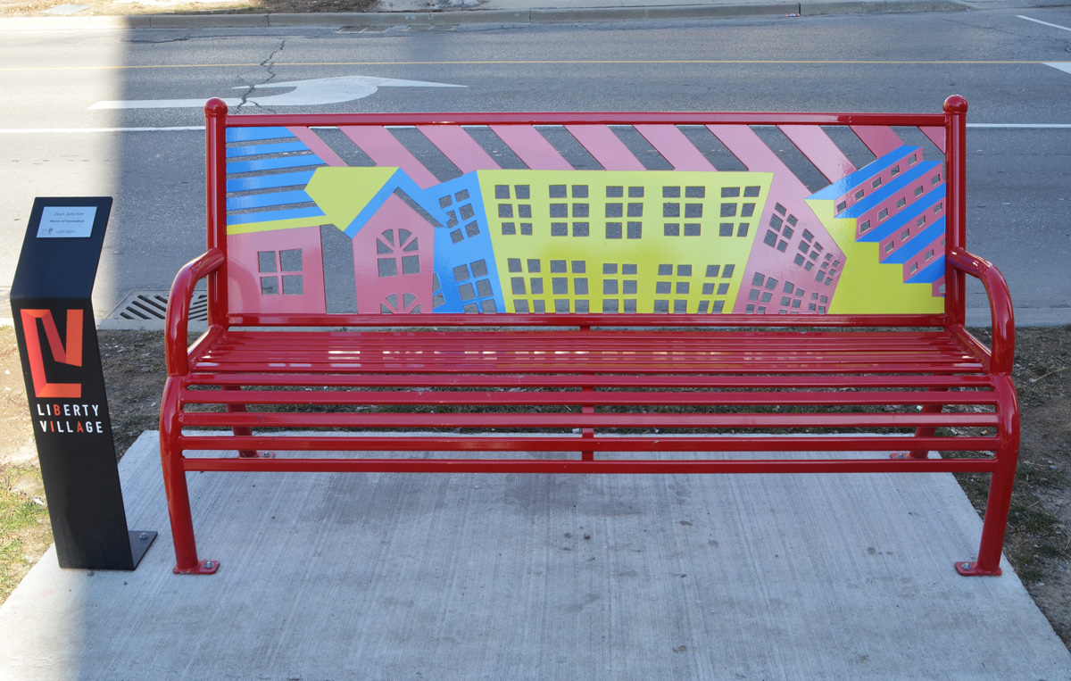
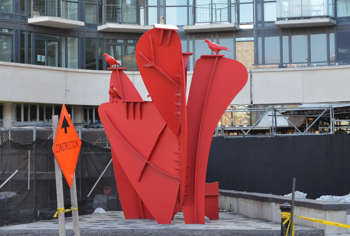
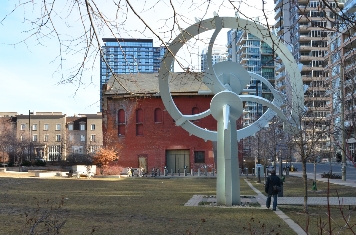
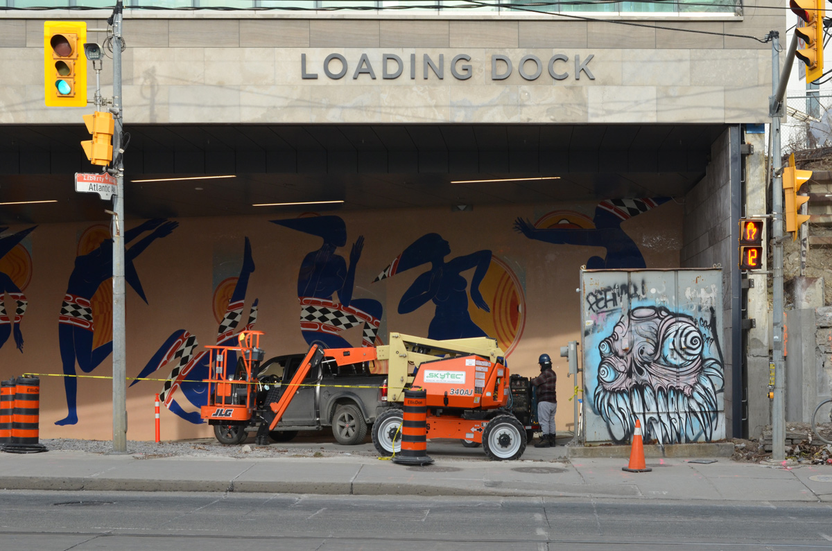
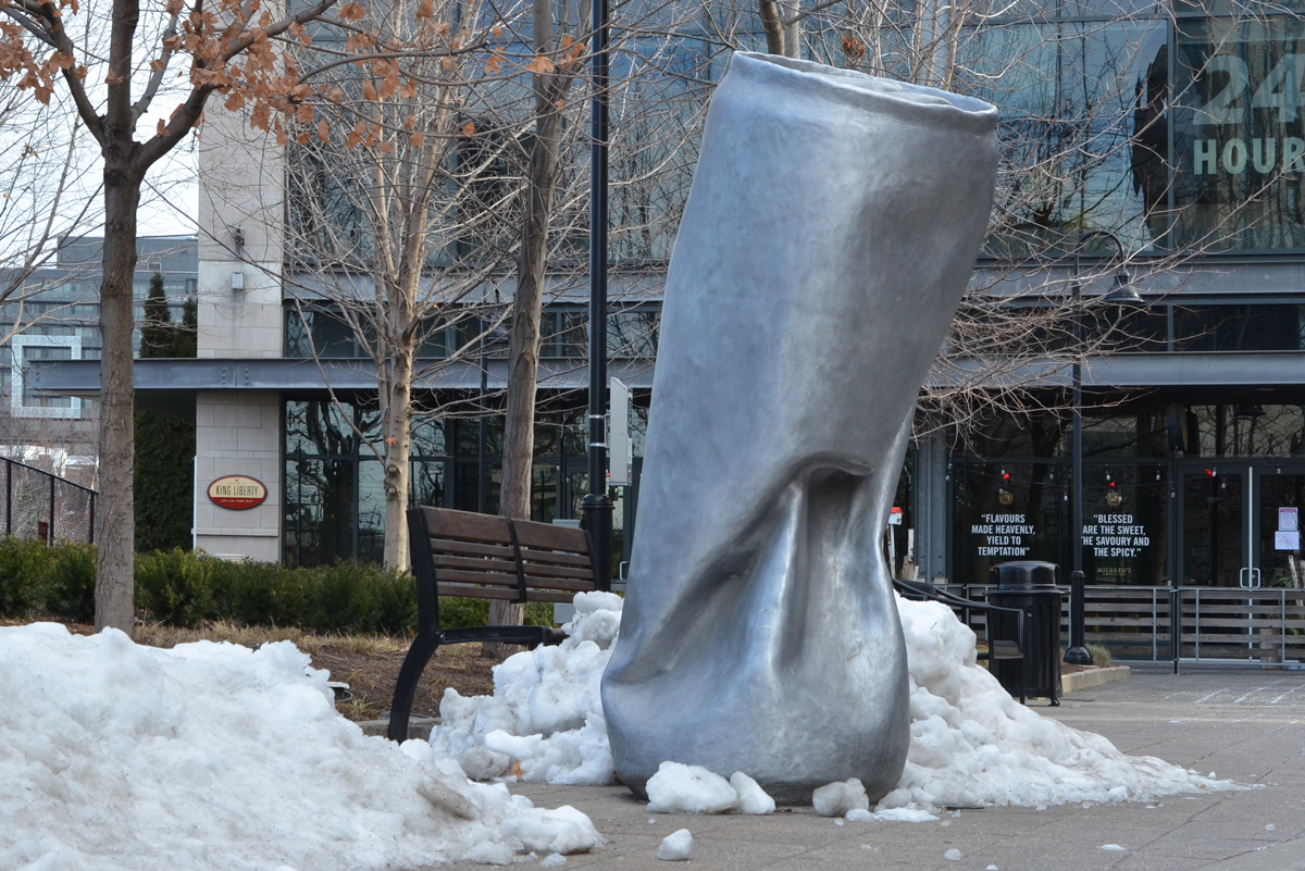
Back in May 2020, 14 benches in public places throughout Liberty Village were designed/decorated by different artists.
below: ‘Gathering’ by Patrick Li
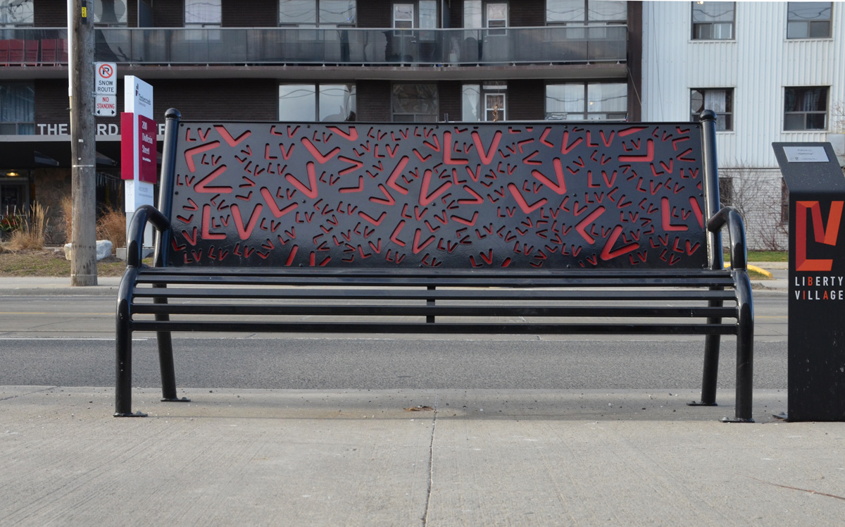
below: “Home of Innovation” by Jieun June Kim
 below: Red pigeons in front of a new condo – by Los Angeles-based artist Nathan Mabry. If you step back and look at it from the right angle, the large red parts look like a pigeon as well.
below: ‘Perpetual Motion’ by Francisco Gazitua
below: “In Memory of Omi and Opa” by Thelia Shelton

below: “Love Conquers Our Differences” designed by Christiano De Araujo and produced by David Ogilvie Engineering


below: Brightly carpeted stairs behind one of the old brick buildings typical of Liberty Village

below: mural by Jarus
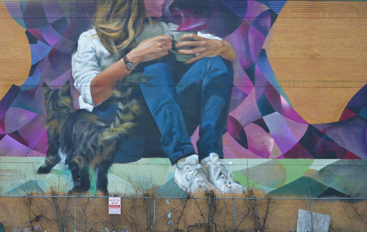
below: One smart mural.
below: Grominator watches the dancers

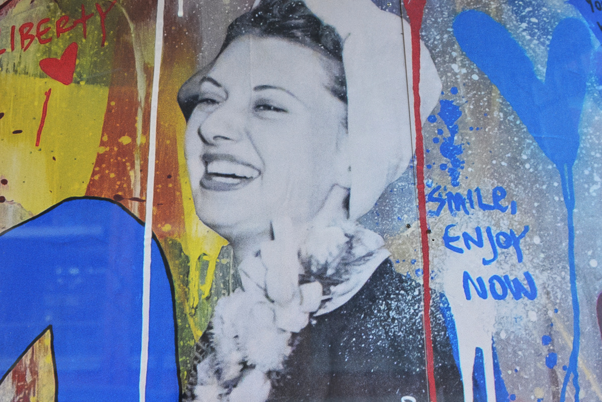
below: It’s not easy these days but “smile, enjoy now”.

below: “Can” by Michelle Cieloszczyk, 2017
Time for coffee!
A few weeks ago I read a blog post about Agincourt history in Bob Georgiou’s Scenes from a City. It reminded me that I had once tried to walk that area but I only got discouraged because of weather (grey, damp) and nostalgia. Sheppard Avenue just east of Kennedy now has this large concrete underpass (Metrolinx/GO trains) which was a shocking change from my childhood memories. My parents were living here with their parents when then met and my paternal grandparents remained in the neighbourhood until they passed. One of my great-grandfathers lived on Agincourt Drive in a house that backed onto the railway tracks.

This time round, I waited for a sunny day before I tried walking here again. For the most part, I walked Sheppard Avenue East between Kennedy and Brimley and the photos below are what I saw – what you see there these days. If you are more interested in the history of the area, then you need to be reading Bob’s blog as mentioned above.
Let’s walk!

below: The area’s Asian character is very obvious.

below: Nutriever?

below: West Highland Creek, north of Sheppard


below: Are you in the market for a used truck?

below: If not a truck, how about a car? I passed at least three used car lots.


below: The old Agincourt GO station has been demolished and a new one is being built.


below: Bell Canada (It’s a white building)

below: In a front yard on a nearby street….. I have many questions.

below: Looking east just before Midland Avenue

below: Part of the reason that Sheppard and Midland looks so empty is this vacant site on the southwest corner. There was once a Lumber King Home Centre here, then it was a flea market and used car lot, but now it’s an empty building on an otherwise vacant 4.7 acres. A plan for 80 townhouses and a park was filed back in 2015 and seems to have been winding its way through the development process ever since.


below: A quick rest at the intersection where there are actually some people. I miss interacting with the people that I see as I walk around… and I’m sure that you’ve noticed the lack of people in these blog posts.

Also, re the TTC – this is Sheppard Avenue, home of the Sheppard subway, or is it LRT now? As I was researching development at 4181 Sheppard, I discovered that Metrolinx has been applying for easements along Sheppard in preparation for anything that might be built on that street.

below: There is always something to remind us of life’s situation these days, such as this ad that was on a bus shelter. I liked the hashtag at the end, #PracticeSafe6ix

below: Knox United Church was built as a Free Presbyterian church in the 1840’s but became Knox United in 1925. This was when the Presbyterians merged with the Methodists to form the United Church of Canada. (Although not all Presbyterian churches went along with the merger).

below: Agincourt Baptist Church

below: There is a second overpass in the area. The CPR tracks pass over Sheppard between Midland and Brimley, just west of Canadian Pacific’s Toronto Yard.

below: On this overpass is a mural by elicser


below: Running parallel to the south side of the CPR line and Sheppard Avenue is a large industrial complex belonging to the International Group of Companies.


below: Toronto has 85 BIAs (Business Improvement Areas) including Sheppard East Village which includes Sheppard between Midland and Markham Road.

below: At Glen Watford and Sheppard there is a large new Seniors residence planned.

below: In the meantime, there are empty stores.

below: North Scarborough Memorial being renovated but the old gate remains.

below: Agincourt Elementary School. Built in 1915 as a Continuation School, (grades 9 and 10) but used as an elementary school since Agincourt Collegiate was built in 1930.


below: (Snow)man down! You’d be tired too if you had to stand outside all winter!

below: Mystery ‘All Way Stop’ in the Walmart parking lot.