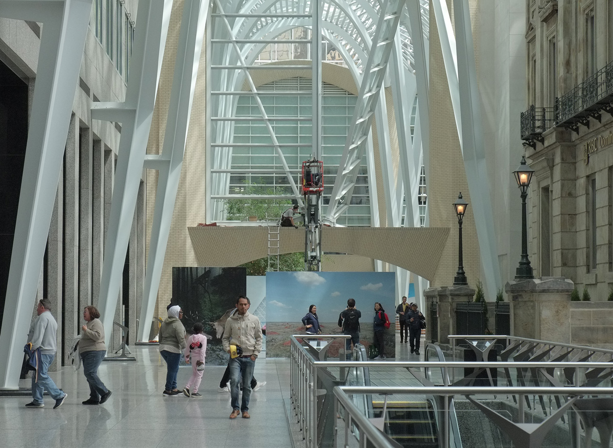
401 Richmond is a renovated industrial building that is now an arts and culture hub; it includes many little galleries. The building was built in stages between 1899 and 1923 for the Macdonald Manufacturing Company who made lithographed tinware such as biscuit tins and containers for tea and tobacco.
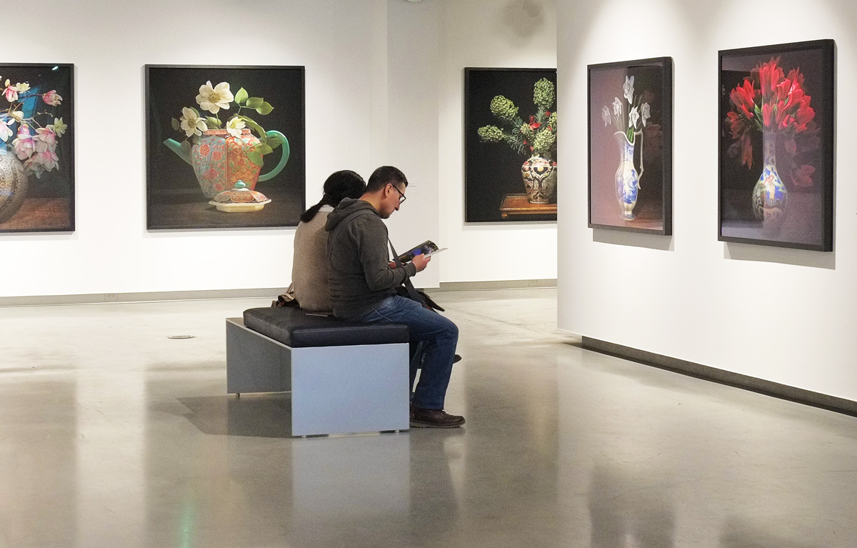
Many of the galleries are participating in the CONTACT Photography Festival and what follows is a selection of what is on display at the moment. A few non-photography installations have snuck in as well.
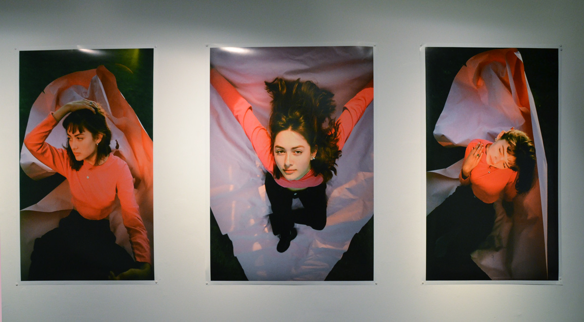
One of the galleries is the Red Head Gallery. Their exhibit, titled ‘Pentimento’, is a collection of work by some of their members. From their website: “The work presented is a diverse commentary on the idea of photography and the definition, role & relevance of the photograph, both directly & indirectly, in the act of image and object making.”
below: ‘Untitled’ by Tonia Di Risio. The photos have been printed on vinyl and then stuck to the gallery wall.

below: “Still Life with Paper’ by Jim Bourke
below: ‘Process’ by Sally Thurlow is 6 photographs of a demolition and renovation of a house (prompted by a rotting roof) and the upheaval that that causes. Each little frame is made from something from the job site including Tims cups and yellow caution tape.

The word pentimento means “a visible trace of earlier painting beneath a layer or layers of paint on a canvas.” The last blog post dealt with palimpsest which is erased text that becomes visible and it seems to me that pentimento is very similar, but with pictures not words, paint not ink.
***
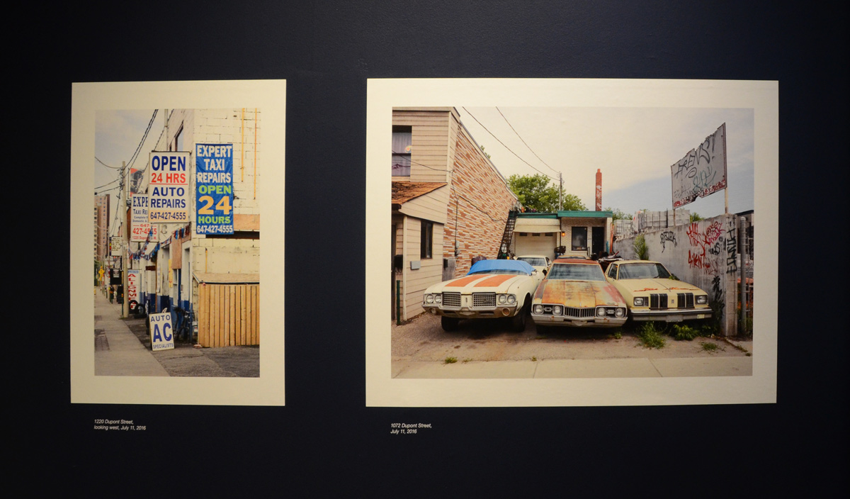
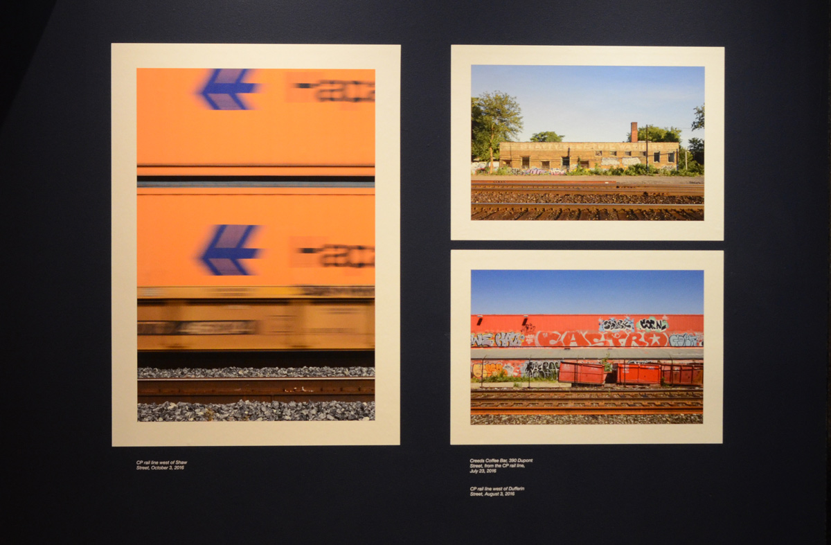
Urbanspace Gallery, “Further Along the Road”, an exhibit of photos taken on Dupont Street in Toronto, by Eliot Wright.
below: Left: 1220 Dundas St looking west. Right: 1072 Dundas Street West. Both photos were taken in July 2016

below: Left: CP railline, west of Shaw. Right top: Creeds coffee bar, 390 Dupont St., taken from the CP tracks, July 2016. Right bottom: CP rail line west of Dufferin, August 2016

***
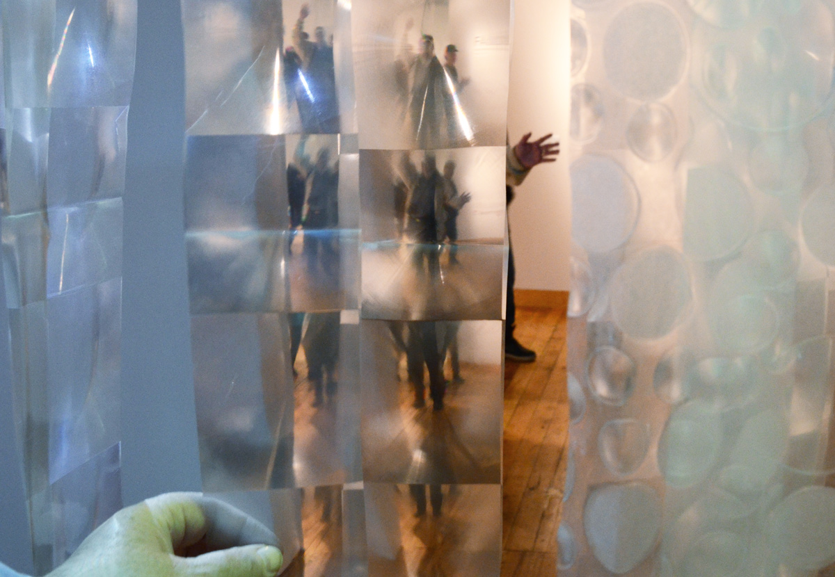
below: Laura Shintani, Bodywashi! at Tangled Art Gallery

It’s like a car wash for people although no water is involved. Strips of translucent plastic (shower curtain material?) hang from the ceiling. After walking through the plastic you encounter the scene below.

***
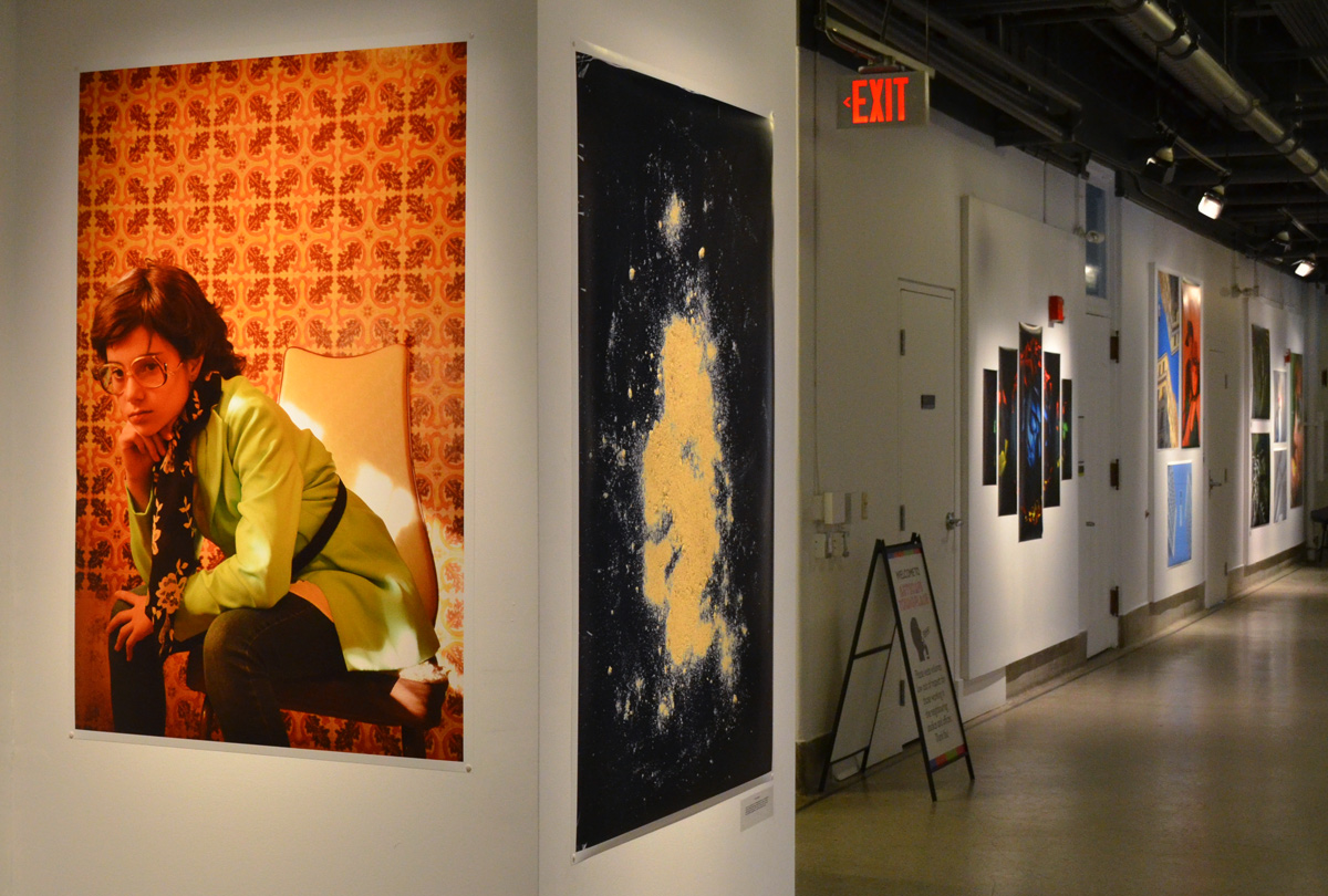
Gallery 44, “Developing Historical Narratives”

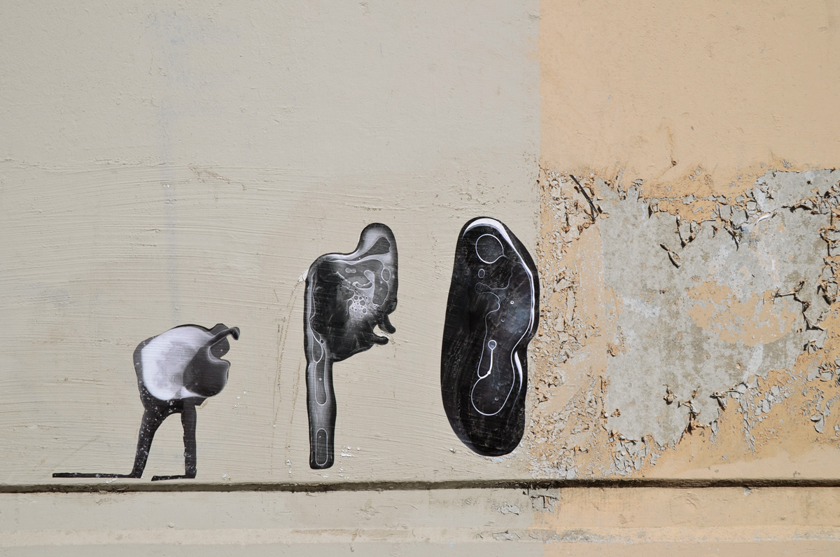
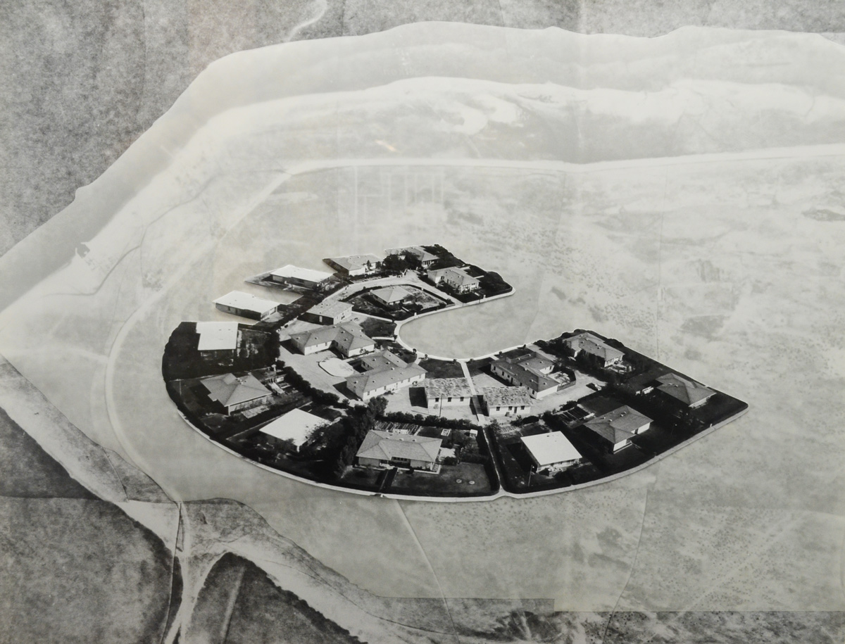
below: One of the images in ‘Petro Suburbs’, a series of black and white images by Hajra Waheed, also Gallery 44. The subject matter is based on old aerial photos of Dhahran Saudi Arabia, a town that the artist grew up in. It was also a gated town built for Saudi ARAMCO (Arabian American Oil Company). Dhahran was protected by airbases, both US & Saudi, as well as by the CIA and such. Access and privacy were strictly controlled and photography and filming were not allowed.

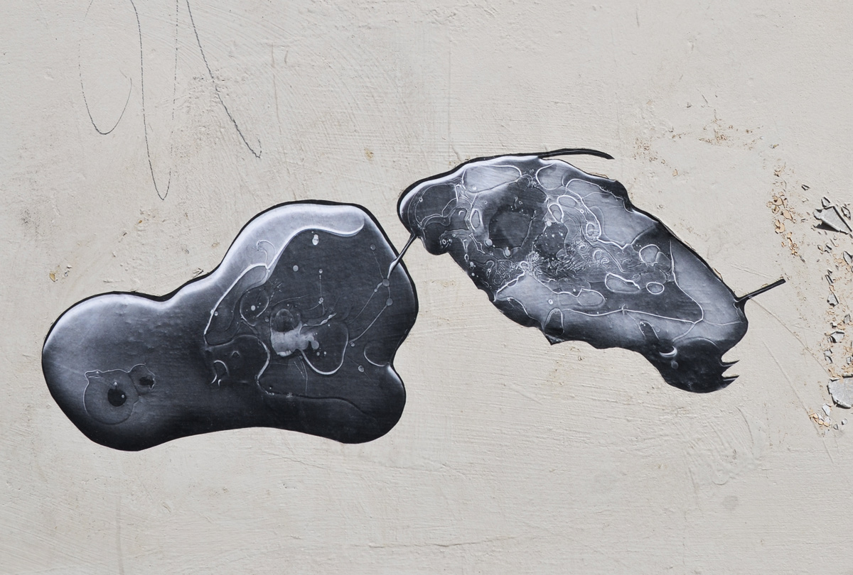
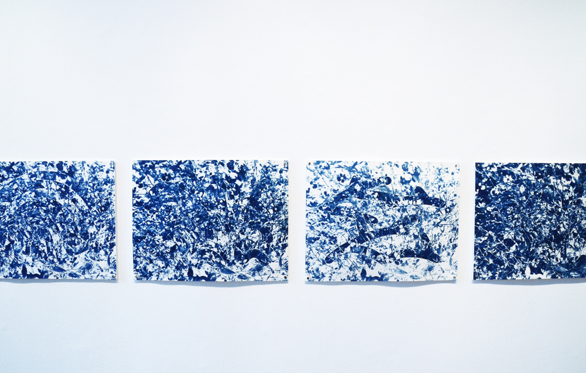
below: Untitled cyanotypes by Sarah Comfort, part of a series called “More Than This”.

***
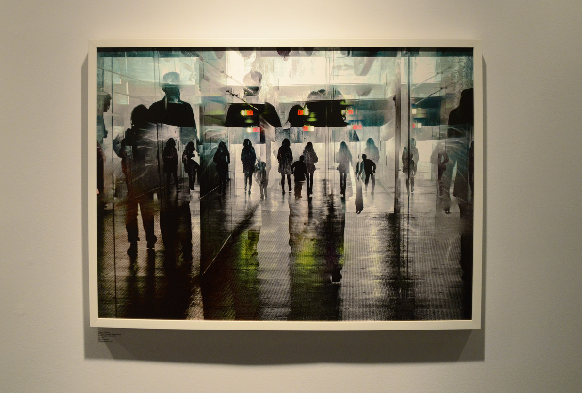
below: An image by Shelley Wildeman, superimposed people in the hallway.

***
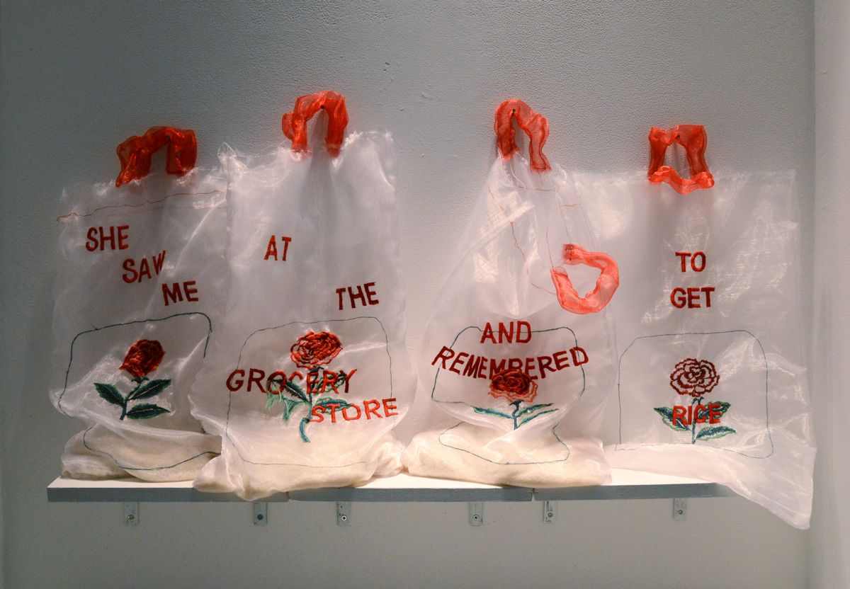
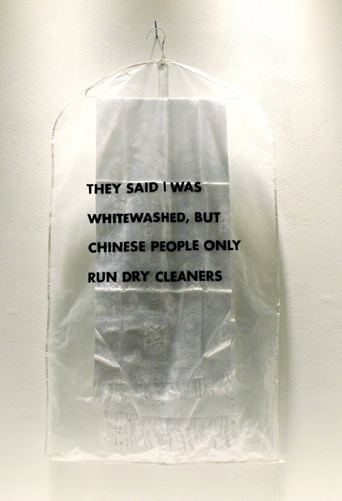
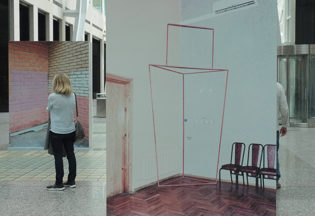
below: Two pieces by Florence Yee, who introduces herself on her website as: “Florence Cing-Gaai Yee is a queer Cantonese visual artist based in Tkaronto/Toronto and Tiohtià:ke/Montreal. These hang in the Space Gallery which are windows in the hallway on the ground floor at 401 Richmond.


***
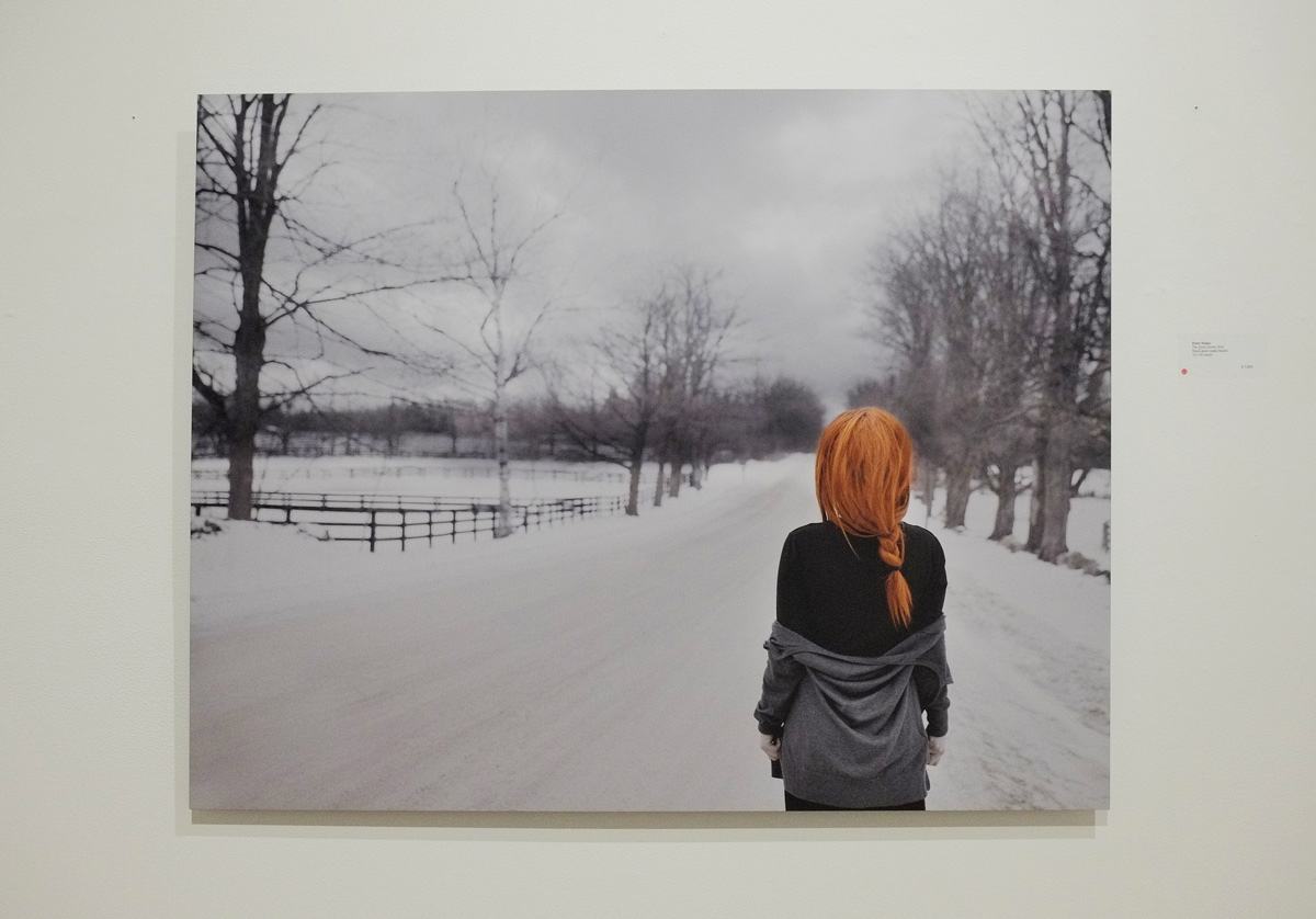
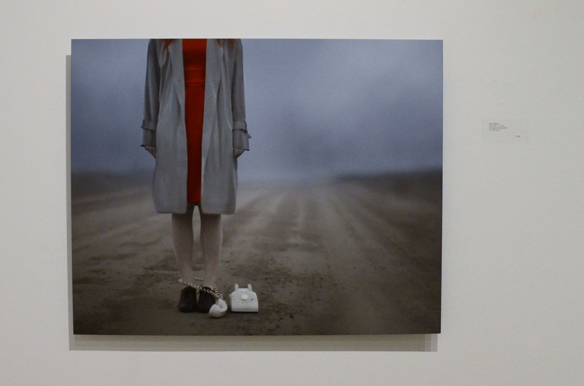
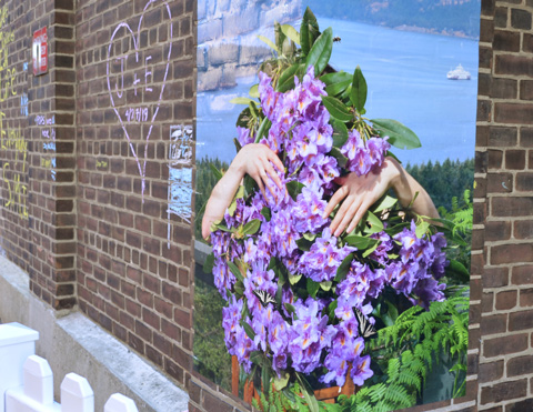
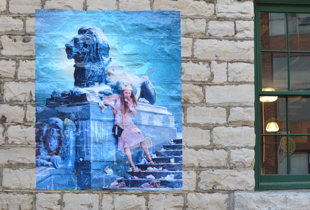
The last of the 401 Richmond galleries that I explored this past week is the Abbozzo Gallery where Patty Maher’s exhibit “The Sky as my Witness ” is now being shown.
below: “The Quiet Storm”

below: “Parallel Universe”. Because we are all just dots in the universe. The same but different.

below: “Land Line”.

The above photo is from a series called ‘The Liminal Field’. On her website, Maher describes the series thusly: “This staged self portrait series is an exploration of the state of liminality that occurs in midlife. It is an attempt to symbolically describe the transformation that needs to take place when moving from youth to the second half of life. The field depicted here is a construct and does not exist in real space. It has been constructed to indicate a place that is both personal an intangible. Each photo symbolically depicts an internal struggle that is necessarily part of this transition.”
As you can see, there is a a wide selection of images and ideas lurking in the galleries at 401 Richmond. Most exhibits change over every month or so – so there is always something to see.