Photos from the annual Church Street Hallowe’en party this year:


 Spider

Photos from the annual Church Street Hallowe’en party this year:
Spider
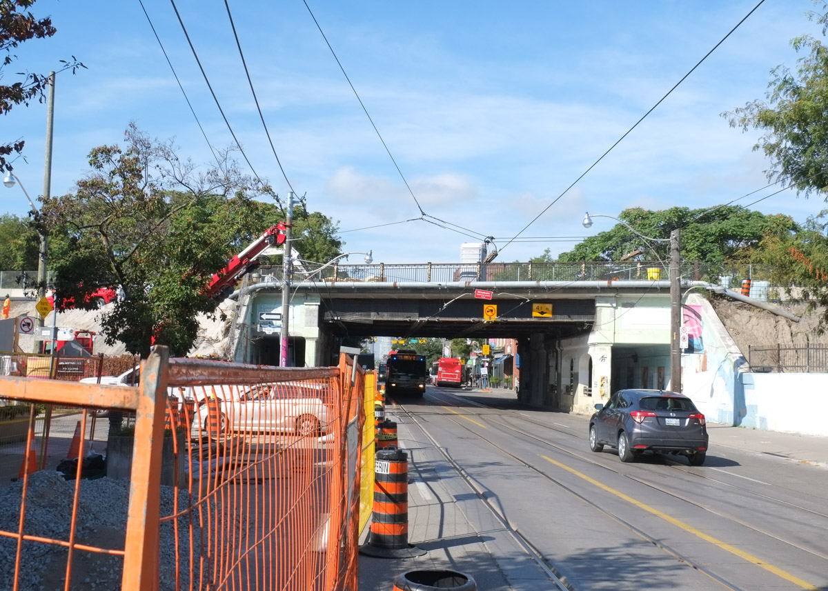
For the whole length of Dupont Street, from Avenue Road to Dundas West, the street runs parallel to, and south of, Canadian Pacific railway tracks. The proximity to the railway was a major reason that the street was home to many industries. Back in June I walked a section of Dupont east of Ossington (see Dupont Street Scenes).
A couple of weeks ago I explored west of Ossington and I’d like to show you a few pictures from that walk. The last part of the walk was a wander through some of the streets and alleys south of Dupont.
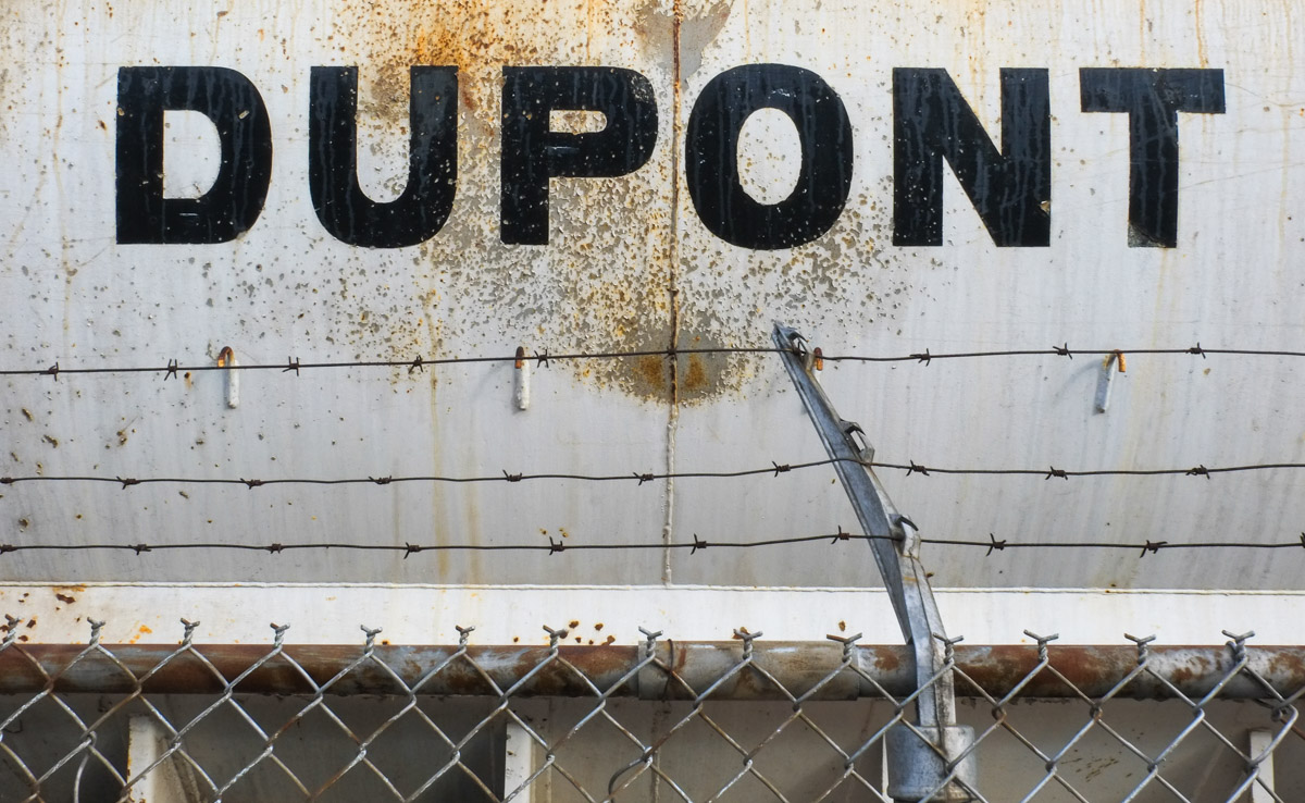
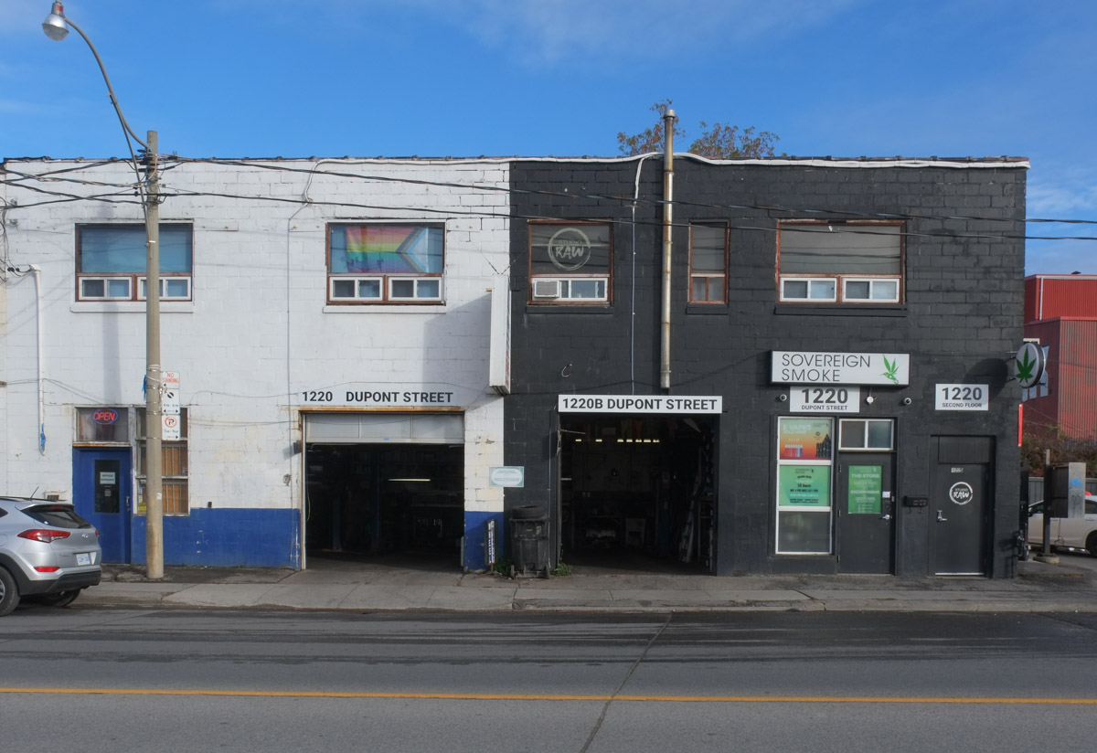
below: There are still a few reminders of Dupont’s industrial past…
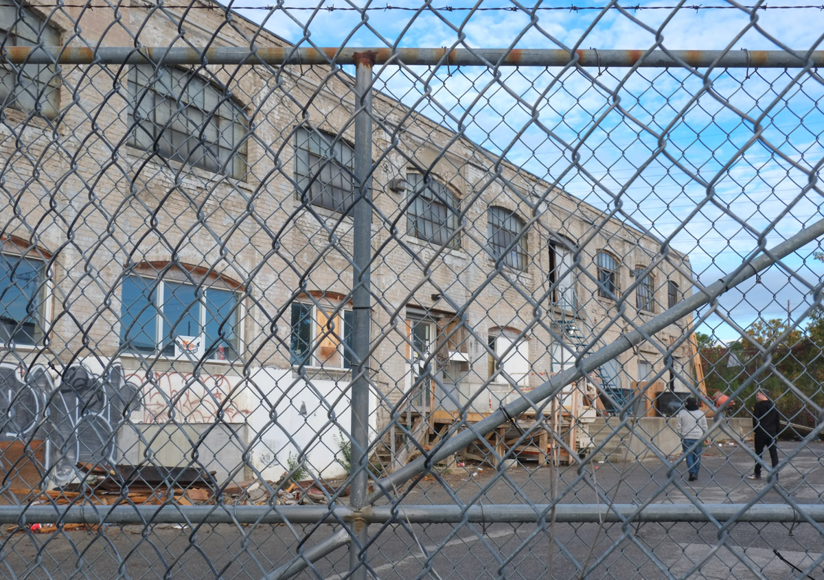
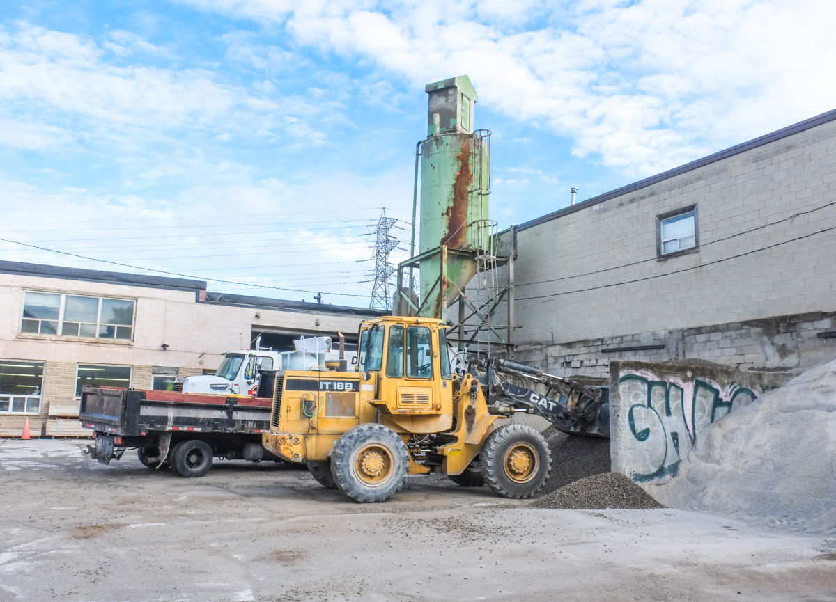

Dupont has always been a very mixed street with residences


and businesses side by side. A working class street.


below: A more recent addition to the street – Sovereign Smoke (cannabis) sits beside the tire store (or mechanic).
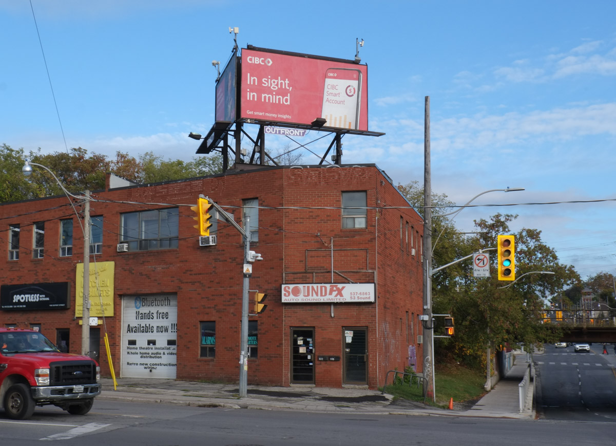
below: Looking west along Dupont towards Dufferin – where the Galleria Mall used to be there is now a wall of glass.

Same site, different angle


below: On the west side of Dufferin, the street is being reconstructed.
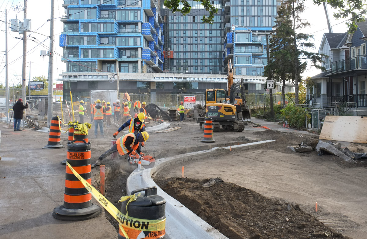
below:Re-routing the sidewalk on the south side of Dupont at Emerson
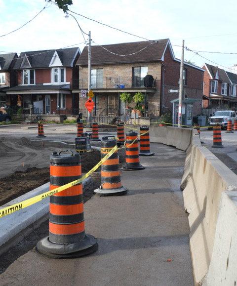
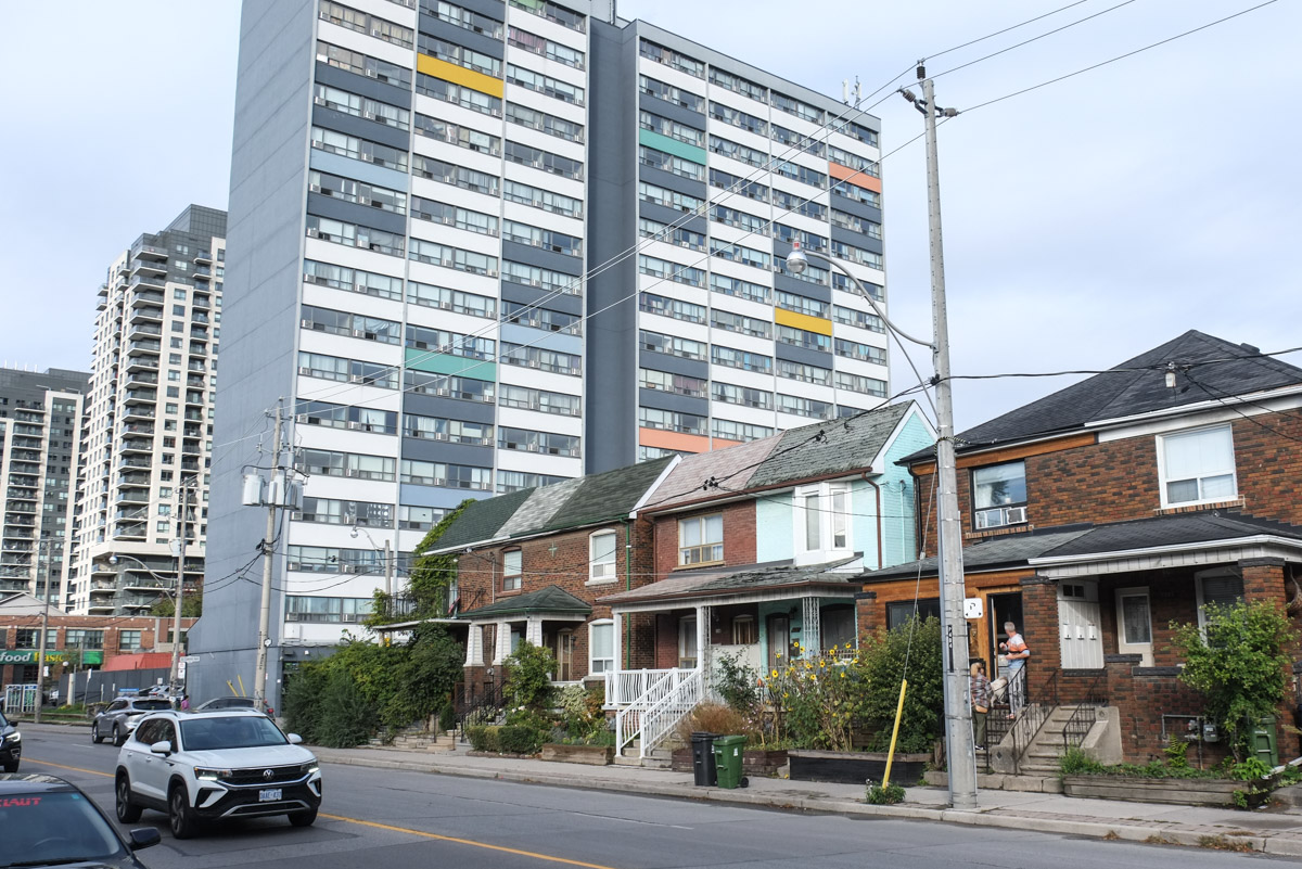
below: Looking west on Dupont at Emerson. The two tall buildings on the right are on the north side of the railway tracks. The apartment building in the center of the photo was built in the 1960s or 1970s.

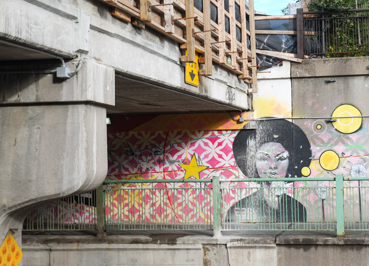
below: A colourful mural by Jacquie Comrie

below: Under the tracks near Lansdowne.

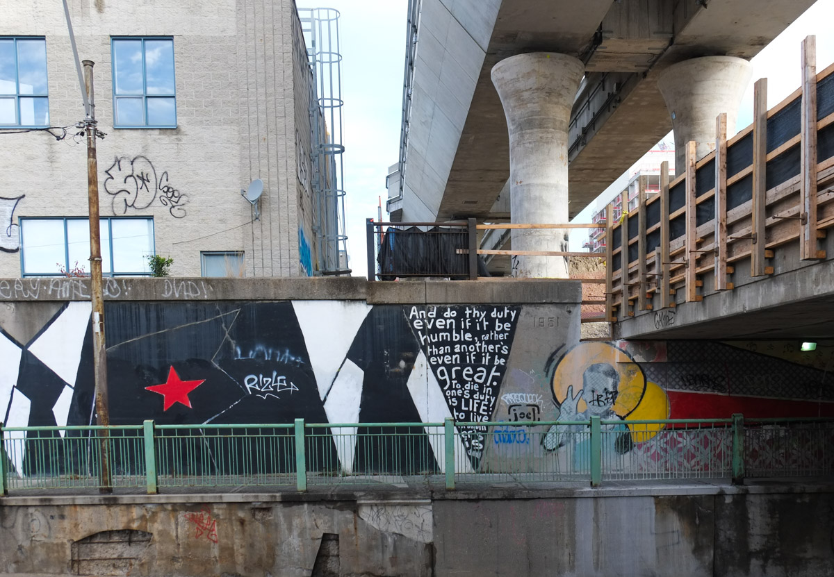
The “Suitman” Mural was first painted and funded with $2000 received from the City of Toronto’s Clean and Beautiful program. But after Rob Ford was elected mayor of Toronto in 2010 and began his own “clean up” campaign, it was painted over with dull grey paint. Not a bright move considering that Joel Richardson was paid by the city to paint it in the first place. Late in October 2011 it was replaced with a similar mural as seen here. It took six weeks to repaint, 25 gallons of paint were used along with 100 large cans of spray paint. Photos of the whole mural (on both north and south sides of the street) from 2011 and 2013 are on a previous blog post.
below: “And do thy duty even if it be humble, rather than another’s even if it be great. To die in one’s duty is LIFE: to live in another’s is death.” [quote from the Bhagavad Gita, a 700 verse scripture that part of the Hindi epic ‘Mahabharata’]
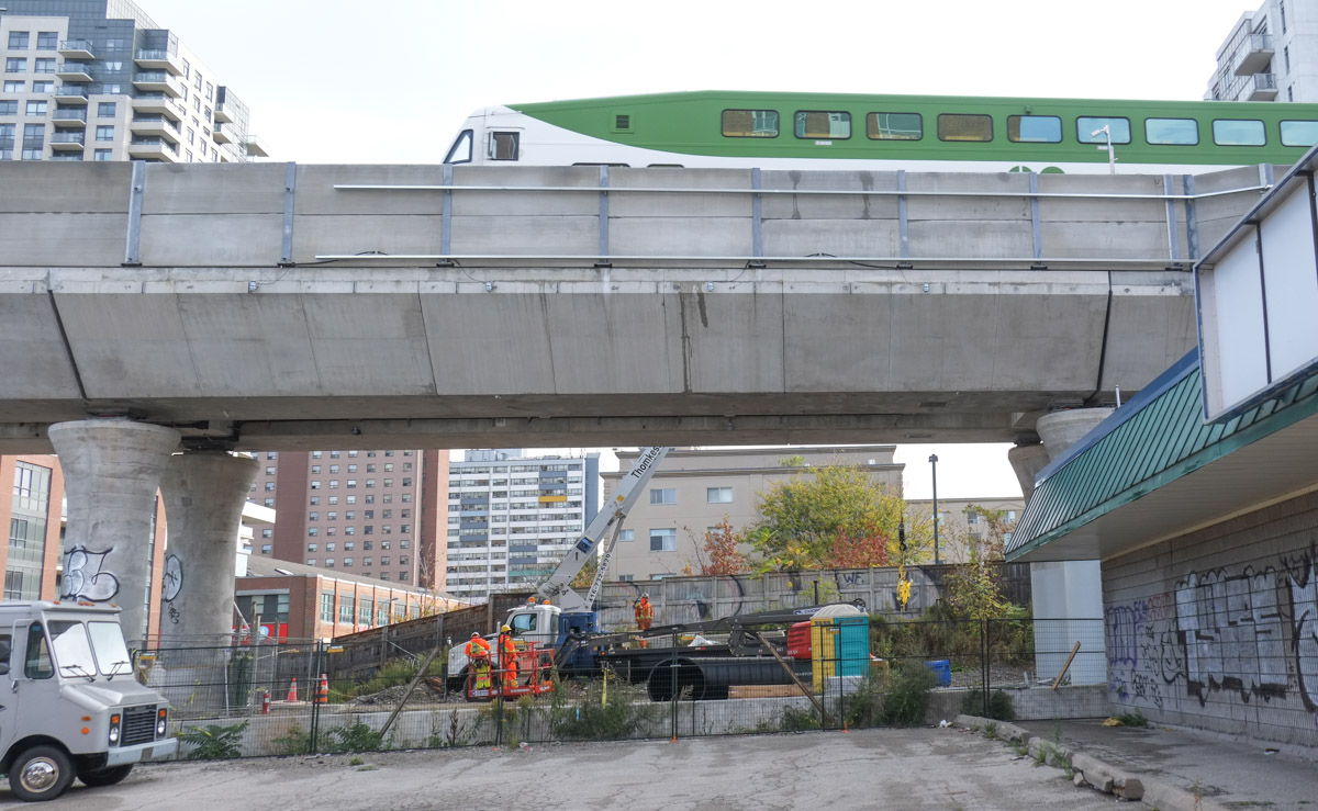
below: A GO train passes over the new elevated section of the tracks as it crosses Dupont Street. This is the Davenport Diamond Grade Separation project on the GO line to Barrie.
below: Looking north from Wallace Ave (towards Dupont) at the south end of the 1.4 km of elevated track. Although the tracks are functional, the streets and paths below are still a work in progress.

below: (On Wallace by the new elevated tracks) A bull and a maze makes me think of the story of the Minotaur, a creature in Greek mythology with the body of a man and the head of a bull. The maze, or labyrinth, was made for King Minos of Crete to hold the Minotaur.
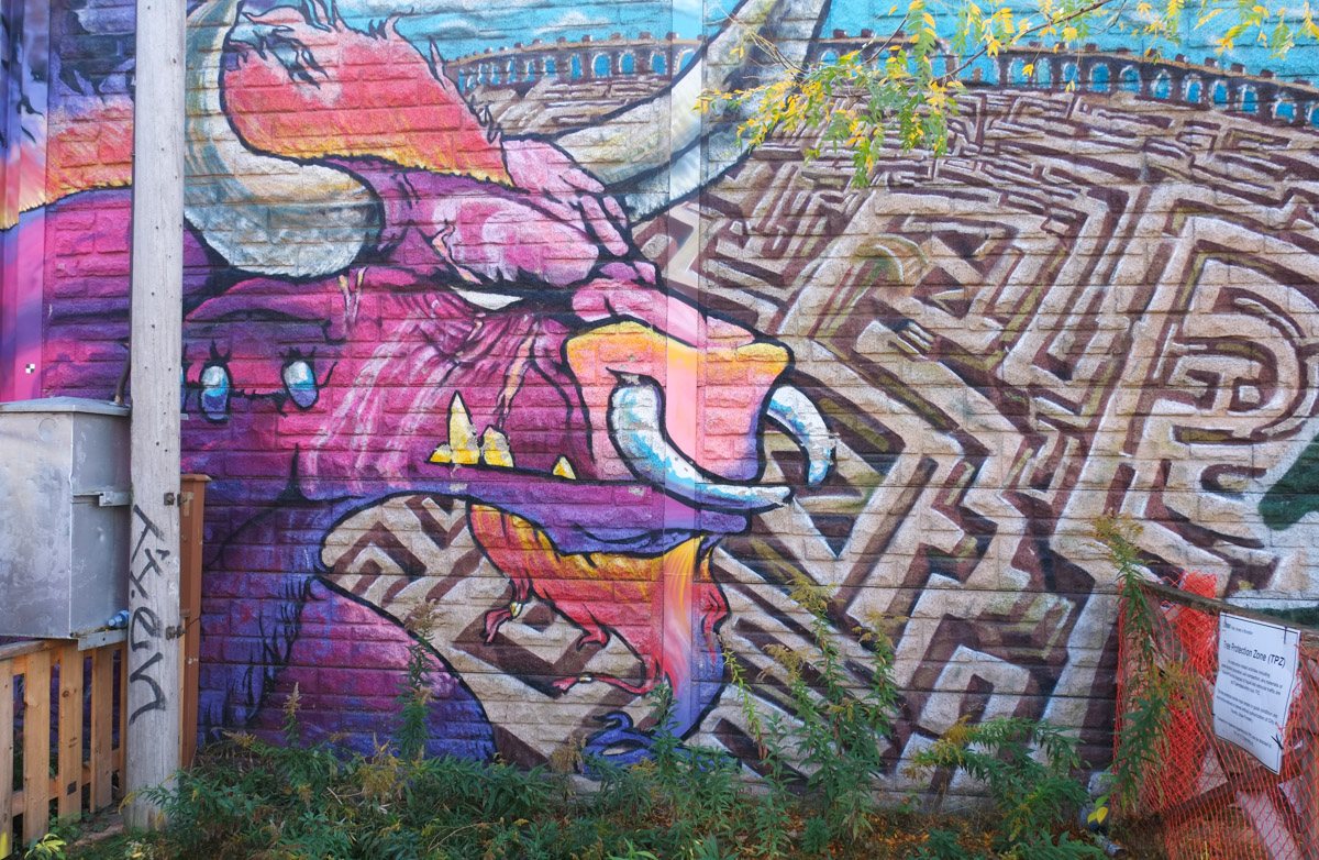
below: Around the corner from the bull is a mural by Emily May Rose. It faces the tracks on what is now a vacant piece of land – shall see what becomes of it.

below: An old “Stop Harper” sticker – topsy turvy but still hanging in there. Almost as old and worn as the railing below it.

The “Strength in Numbers” mural at the next underpass to the west (by the West Toronto Railpath) has been tagged over. The link leads to a blog post from July 2016 if you are interested in what it looked like when it was newer.
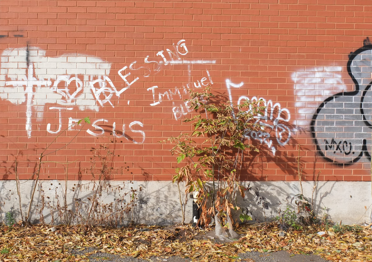
below: Dovercourt signs with a maple leaf in the center. “Since 1985” refers to the founding of Dovercourt Village which is south of Dupont to Bloor between Christie on the east side and Dufferin on the west.
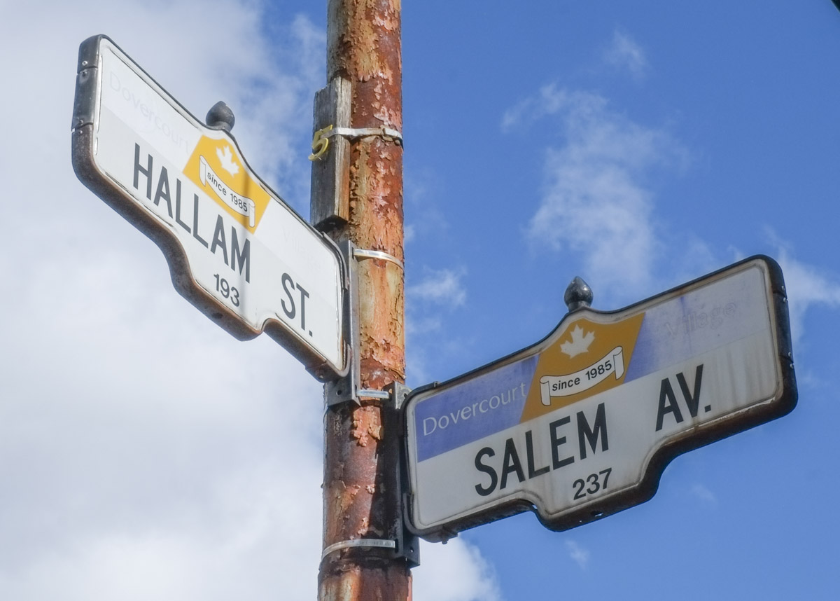
below: Alley infill – a tiny house!
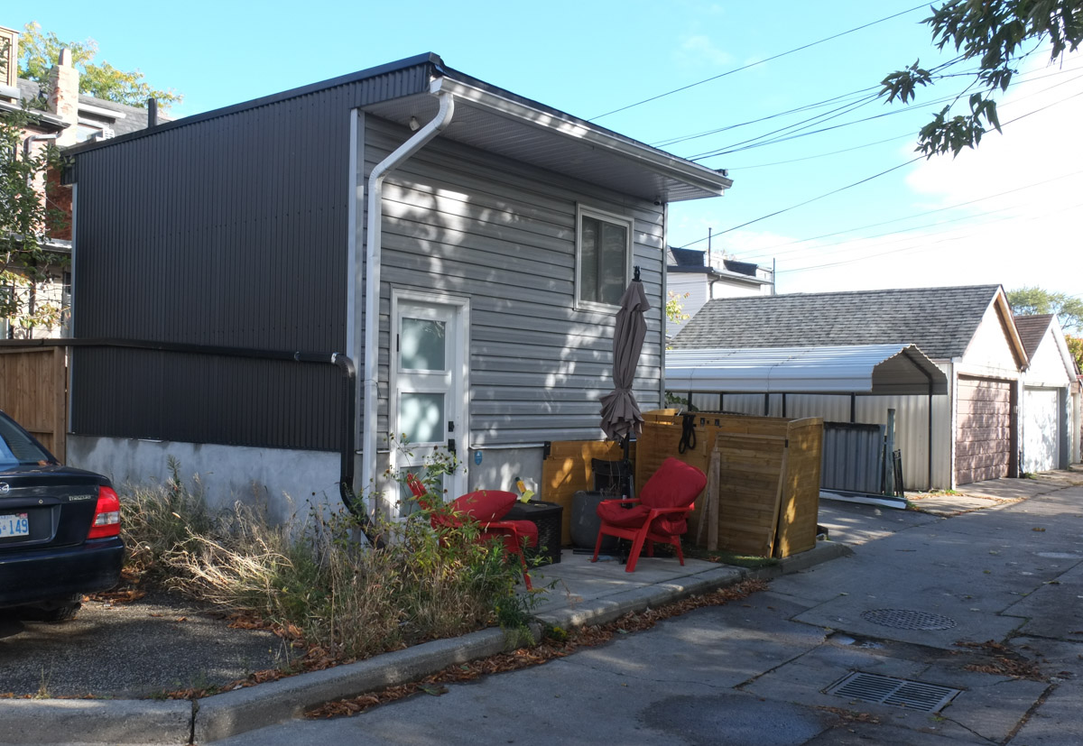
and other small houses too.
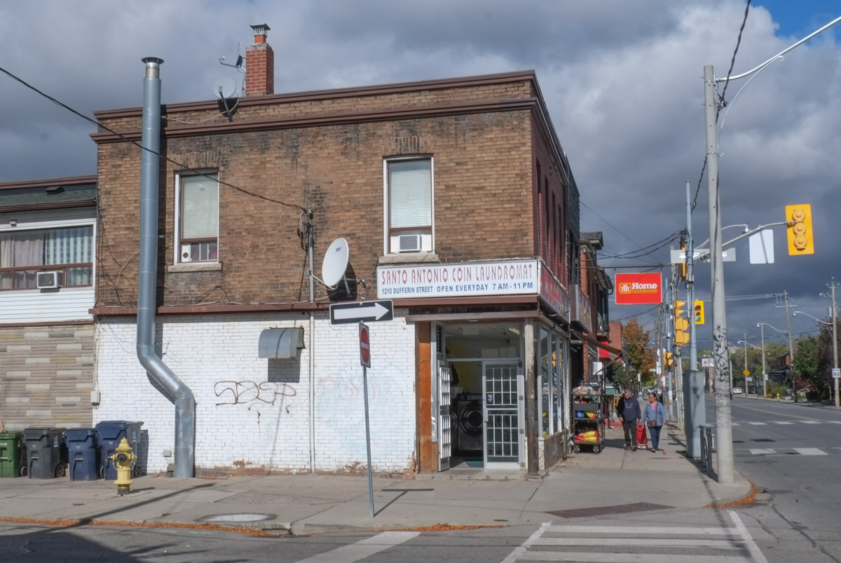
below: Santo Antonio Coin Laundry
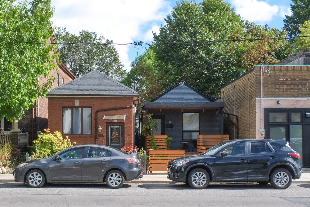
below: The red brick building was built in 1909 and it’s shape suggests that it was once a store. Back in the late 1800s and early 1900s, these stores were very popular and could be found in most neighbourhoods. With changing lifestyles (cars, larger grocery stores) and laws (only residences in residential areas) these old stores became houses. Last year Toronto City Council passed a new by-law allowing small scale retail and service businesses in residential areas.

below:Lucky Convenience Store

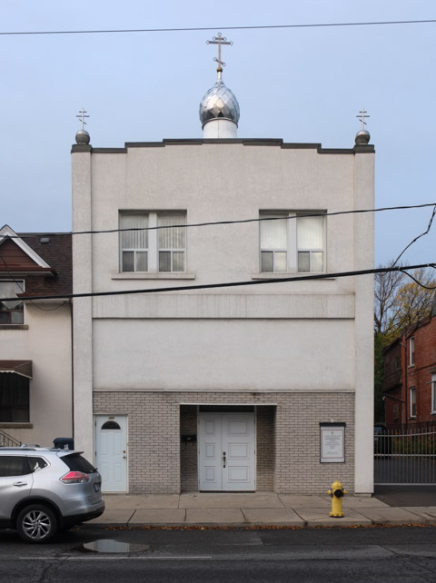
below: St. Ephrasinia Orthodox church (American Carpatho-Russian Orthodox).


below: Development notice – what appears to be an older building with three apartments might disappear to become a three storey building with ten units. Nice to see higher density without the ego of the developers vying to see who can build the tallest building.

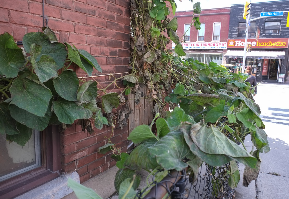
below: Making use of the tiny yard space – melon vines covering the fence and running along the walls.
below: Another use of a front window! Whenever I see a house like this I always wonder if there are sentimental reasons why it is those particular items that sit there. The roses with their purple ribbon were probably important as Mary now watches over them. But one of these ducks has a dead plant – why? What is on your front window sill?

It’s getting close to Halloween so don’t be surprised if there are some creepy folks lurking around!


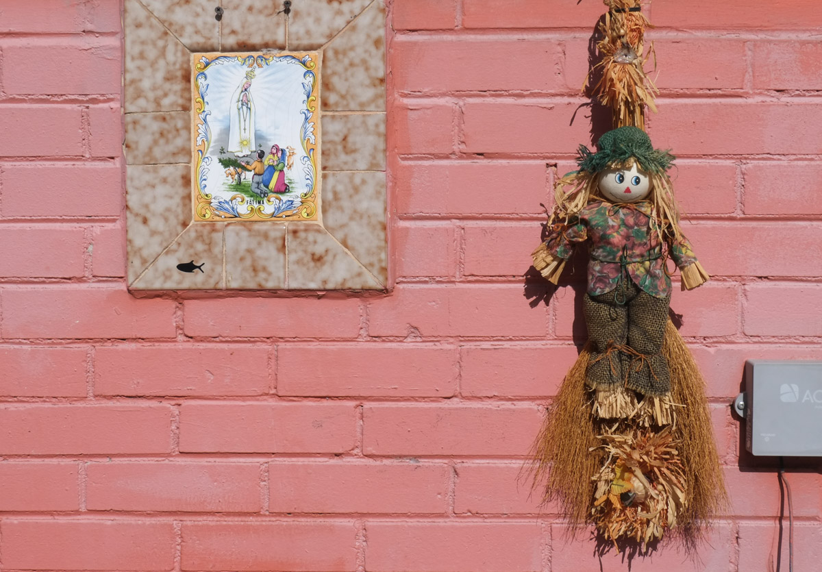
But not everyone is scary… Fatima and the scarecrow
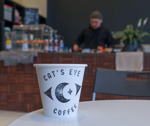
A shout out to Cats Eye Coffee where we started that day. Also, a thanks to Nancy who was my tour guide and walking partner!
In case you’ve been wondering where Elvis Presley has been hanging out, there’s an alley in the Dovercourt area that I’d like to show you!

Elvis is not alone! There are a few other bits and pieces stuck on the fence with him. It’s not great art but I hope that it at least makes you smile!
below: A little red bowtie, most debonair.
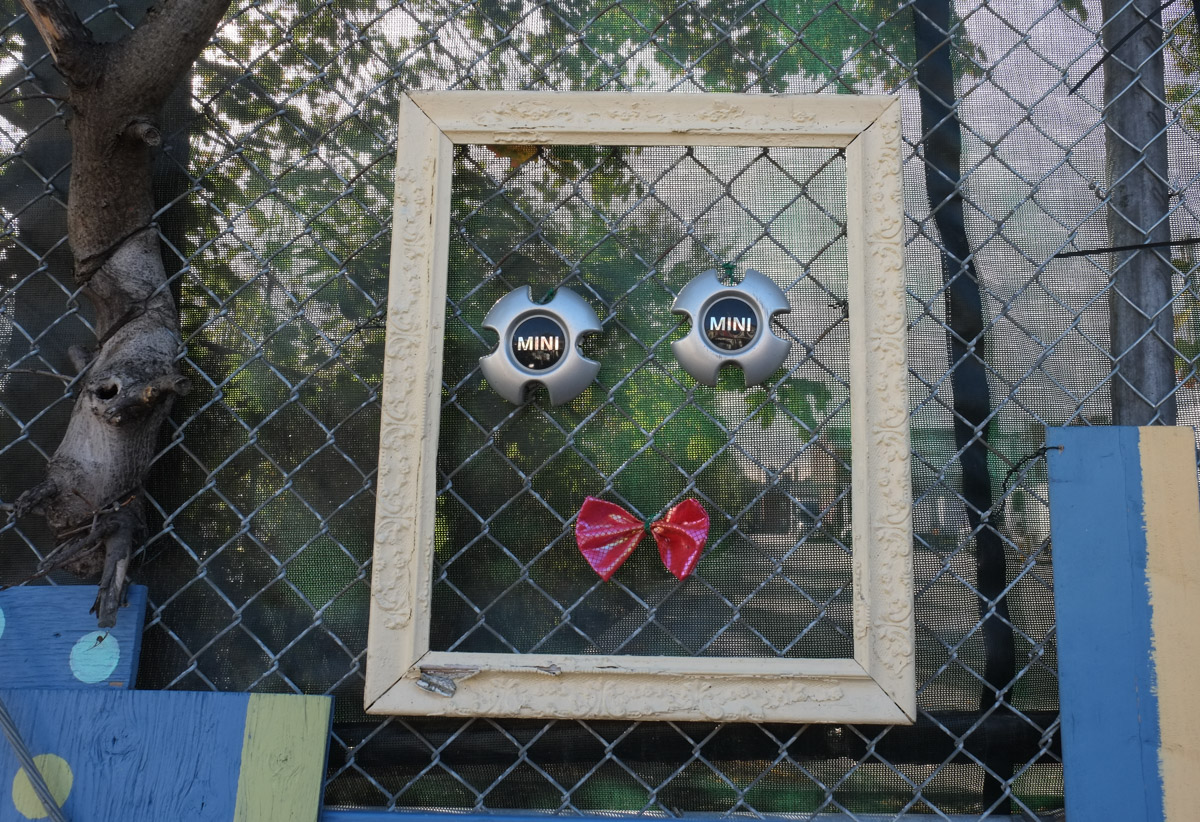
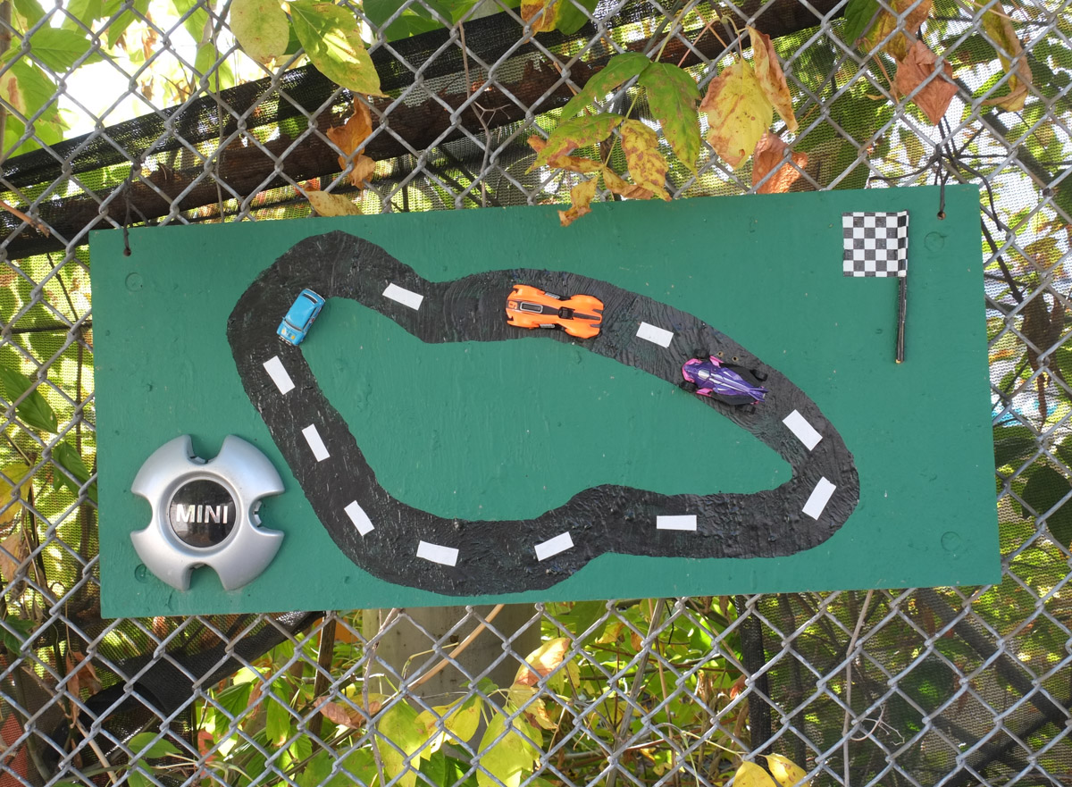
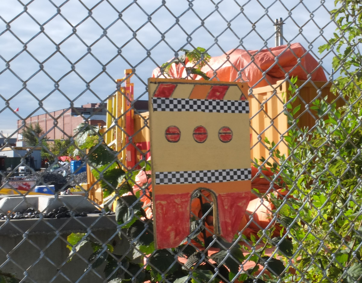
below: Mini racers
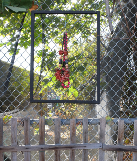
below: Chunky beads in a black frame, strung up and hanging out
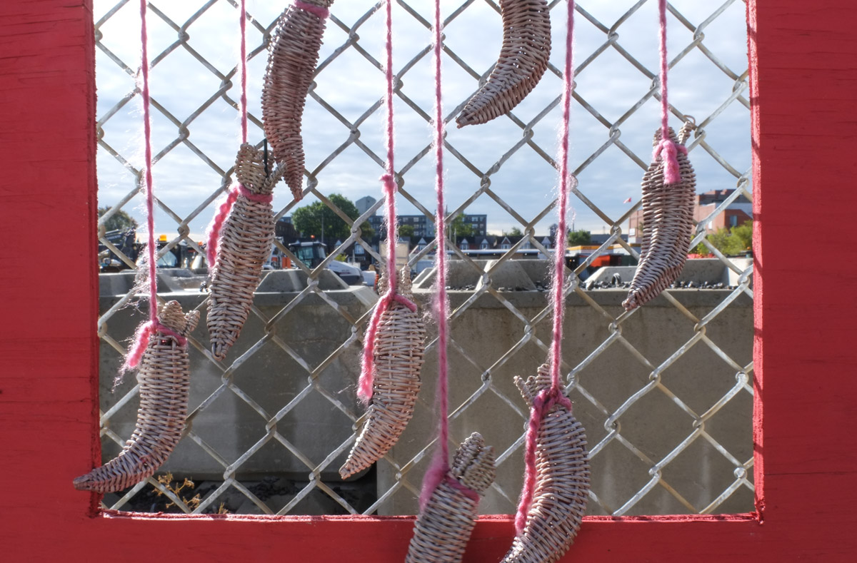
below: Chilis?
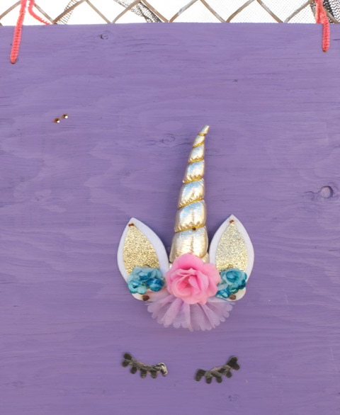
below: Who doesn’t like a bashful little unicorn?

below: A street scene in front of a construction site.

below: An image of the back of a truck on the fence, with a real truck (or maybe a large yellow bin?) on that construction site.

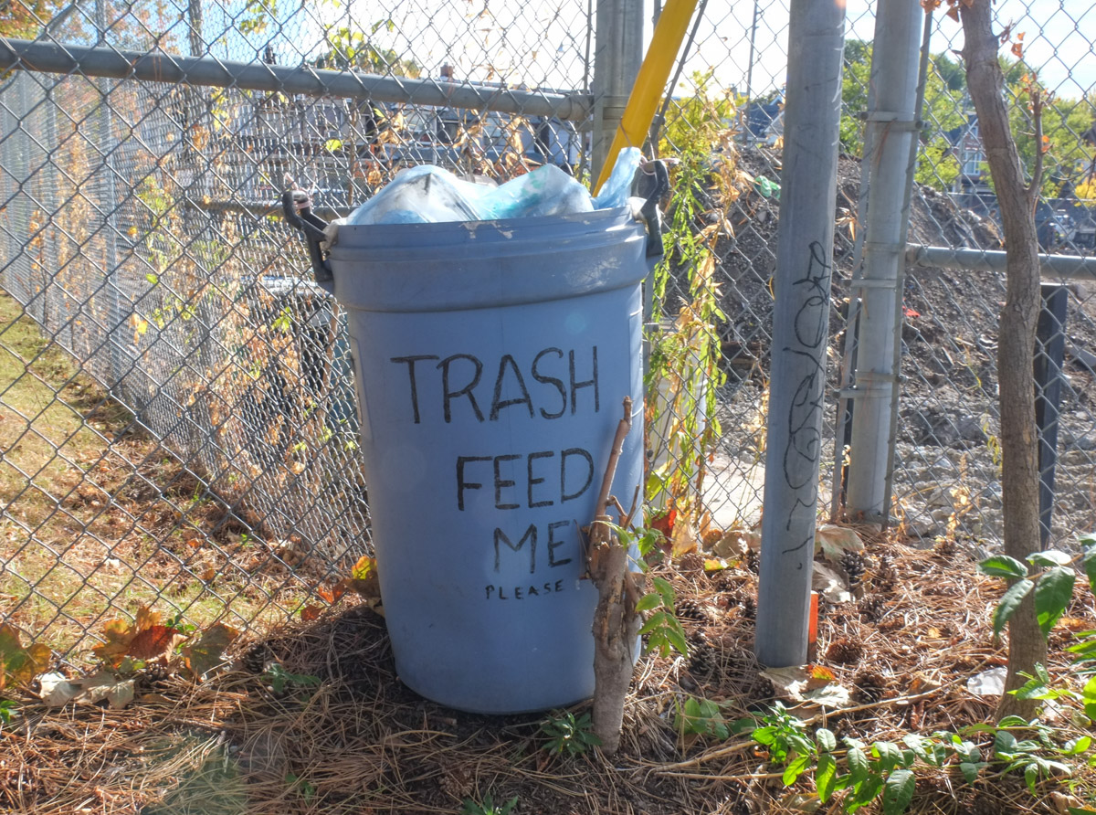
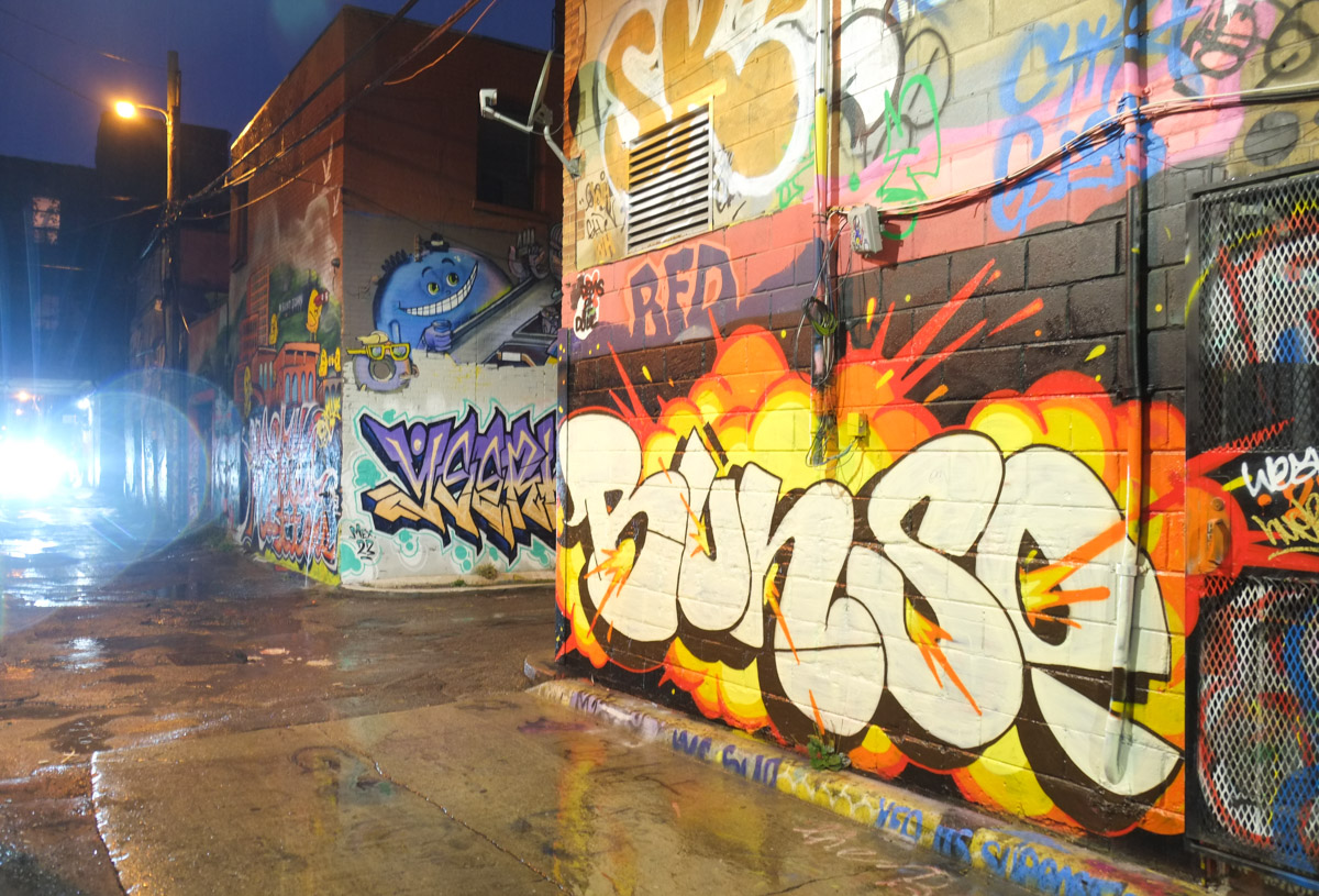
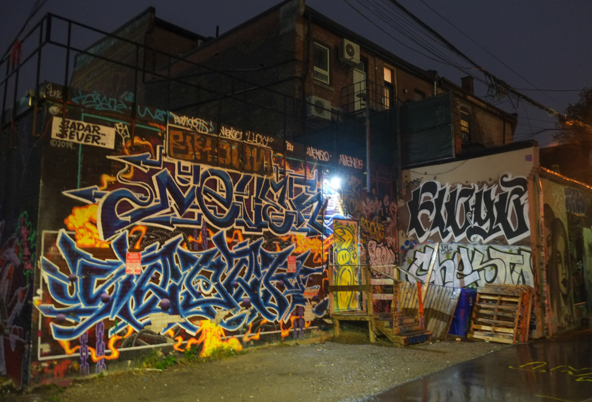
A walk down Graffiti Alley on a rainy night.
below: Unfortunately, one of Uber5000’s large Toronto/Canada themed murals has been defaced (the one on the north side of the alley).
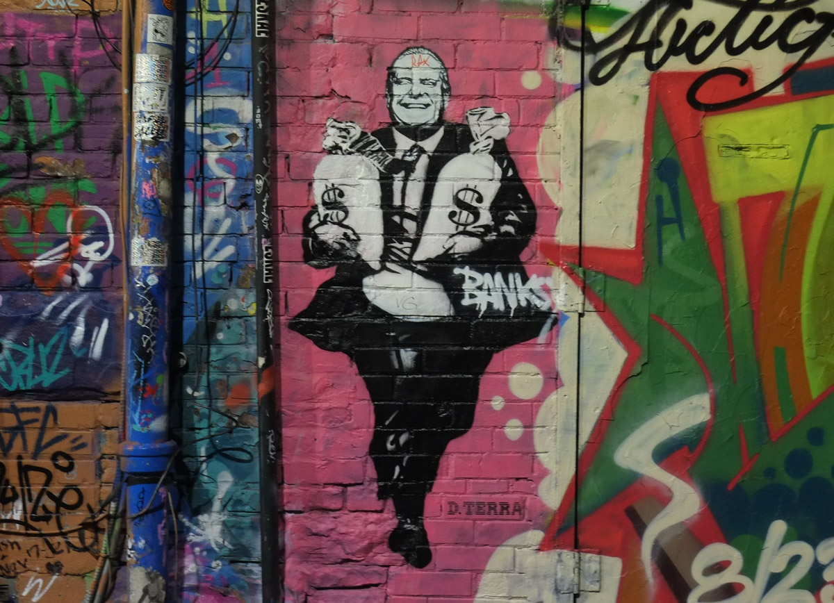
below: Doug Ford running away with the money, stencil graffiti by D. Terra. Our Premier seems rather happy with his haul. Accurate?
below: A dope piece that bears some resemblance to Homer Simpson.

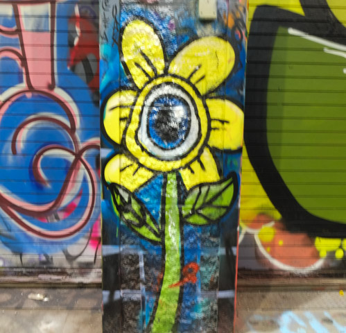
below: A yellow one-eyed daisy standing tall.
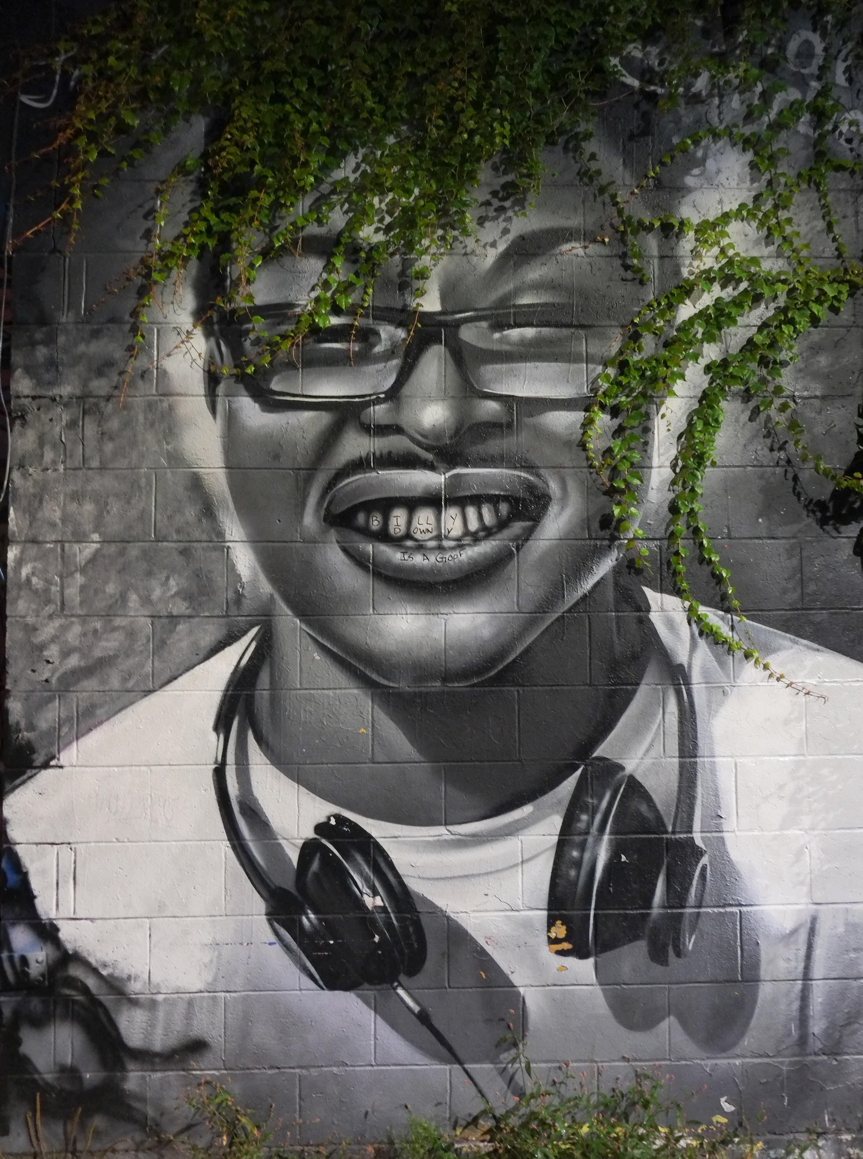
below: This portrait has hair!
below: For some reason, a section of one of the side lanes (McDougall Lane? or Rush Lane?) was lit by a red light. Here there was a collection of pasteups and stickers including one with an abundance of flowers in her hair, a skater figure by drecks. She is joined by a bare breasted woman with even more flowers on her head as well as a Snoopy look alike and a cat on the telly.

below: On the same wall as the above – Tweetie bird, from Australia, along with some friends. Because of the red light, this photo is very low contrast and difficult to see. Best to see this wall in the daytime! Second best, would be to check out the instagram page of tweet_streetart


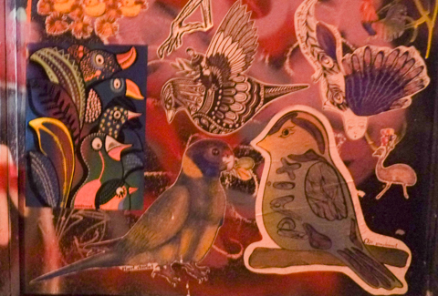
below: Another selection of slaps, mostly birds this time.

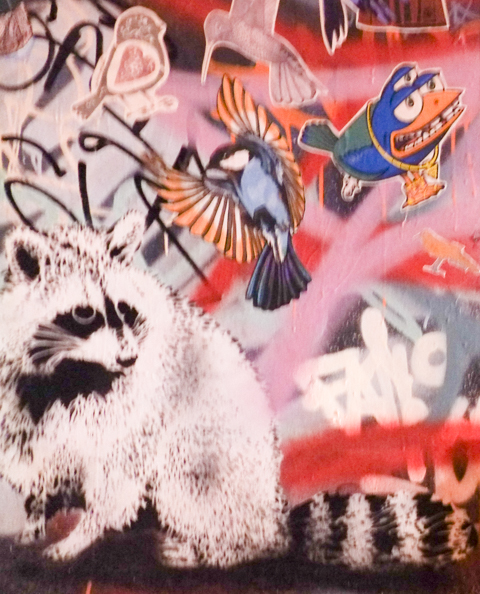
below: A little raccoon
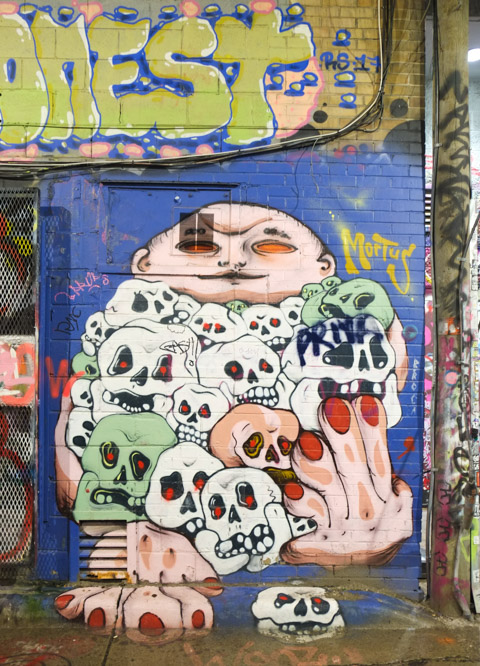
below: Mortus figure – his hands are almost big enough to hold all those skulls.
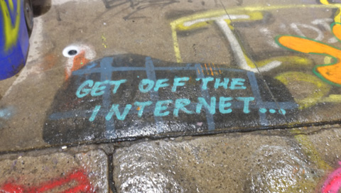
below: On the pavement
below: FP Monkey (aka Julia H), Skamoney, Monster Fan Club, and PP Spray

below: Poser bunny

below: Making a rap music video
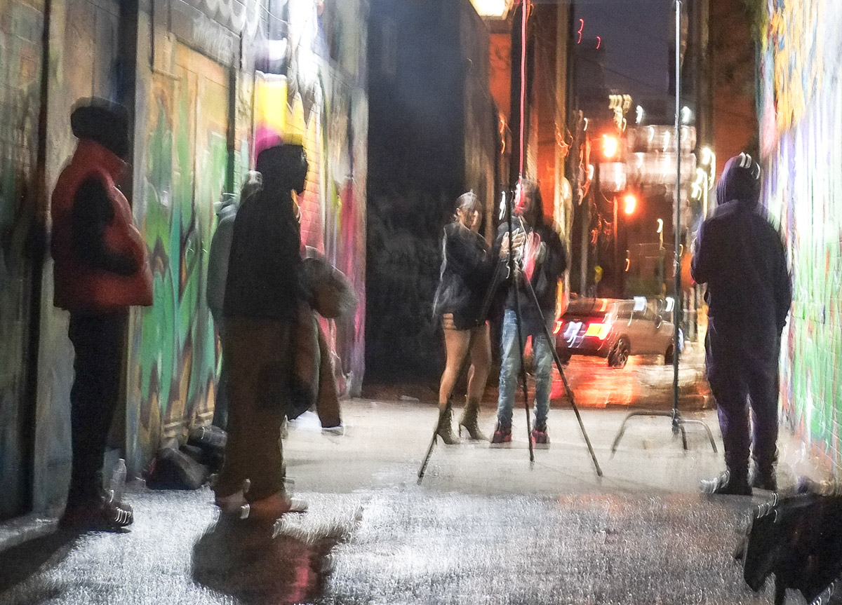

below: The east end of Graffiti Alley, the part closest to Spadina, was very dark.

below: As it turns out, the buildings at this end (north side) are now behind a metal construction fence. Darkness equals empty I suspect.

below: Yes they matter but was there no where else to paint this? There’s so much junk in the alley that no one would miss.

below: I am going to end this post with a bit of a rant. Yes, to some extent the art in this alley has come somewhat commercialized especially with the newer buildings on Richmond that back onto the alley. Uber5000 has benefited from some of this as he has painted a few large (and very good) murals here. I understand that street art by its nature is prone to “disappearing” behind the work of others but I reject the notion that one person’s tag is as good as another person’s mural. Anyone can destroy. Anyone can paint their “name” but if you are proud of writing it over someone else’s more talented work then you haven’t progressed beyond the preschooler phase of life.
This post also appears in eyesonthestreets.blog
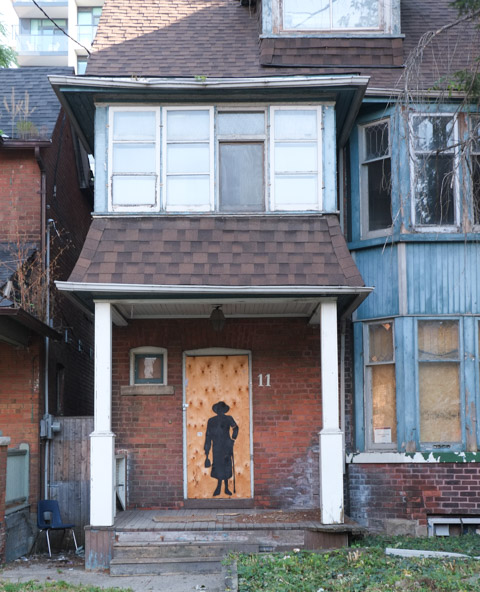
I heard about these silhouettes that have painted on the plywood used to board up the doors and windows of five empty houses so I went to see them for myself. They are on Raglan Road which is close to St. Clair and Bathurst.


“Took a walk and passed your house late last night
All the shades were pulled and drawn way down tight
From within, the dim light cast two silhouettes on the shade
Oh, what a lovely couple they made”

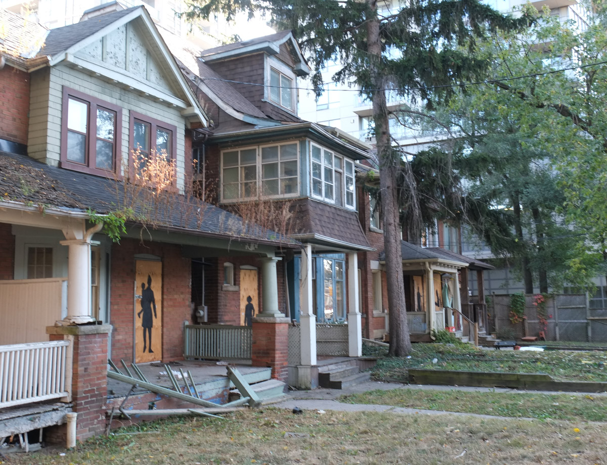
I am not sure how long these houses have been empty but there is graffiti in the back too.

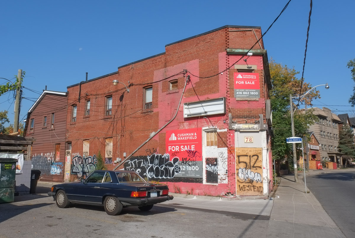
As I was in the neighbourhood, what else is there to see here? Anything new? Back in 2015 I posted a few pictures from the St. Clair and Vaughan Road area (see Intersections). This time I stayed within the northwest quadrant of that intersection. Like most places, somethings have changed while other things remain the same.
Back to early October 2023 … many other houses were empty and boarded up


… and many other houses have already been demolished.
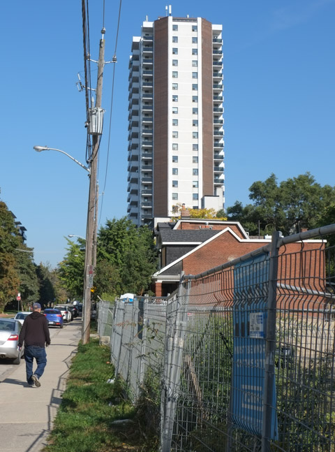


In the above picture you can see that this area has some older smaller apartment buildings. Raglan Road runs parallel to Vaughan Road, home to many mid-sized older buildings.


below: Linked buildings

Once it was the Happy Family Restaurant. Now someone (a happy family?) lives there.

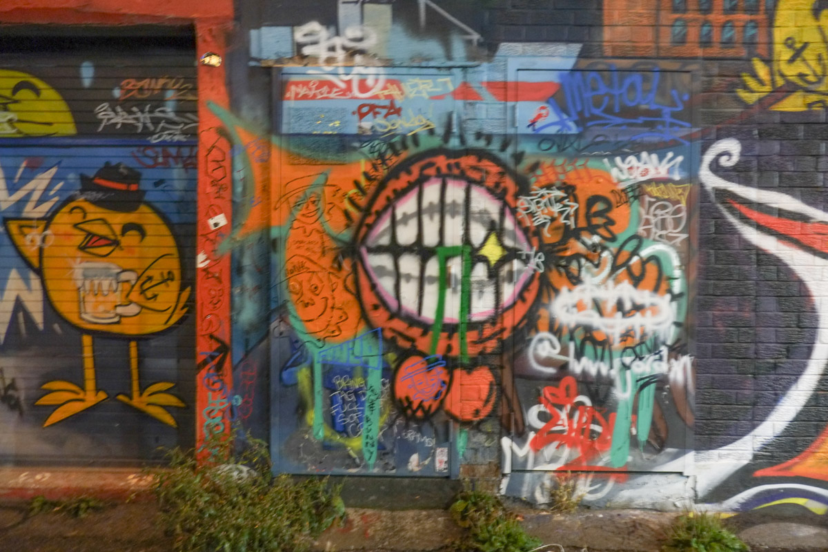
…. other businesses are boarded up. This was the Dutch Dreams Ice Cream shop before they moved farther south on Vaughan Road. While it sits empty it is a space for graffti. Dutch Dreams had moved out before December 2015.
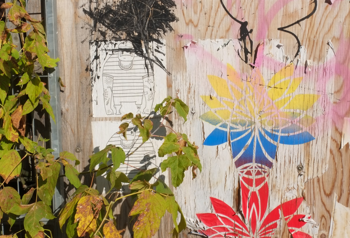
below: Just wait – Not sure what we’re waiting for but I see an alpha and an omega on a death moth?

below: Peeling and faded. Sailor dude and some colourful designs.
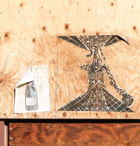
below: Elaborate probably female form with gown and hat beside a not so elaborate wine bottle. The label on the bottle says Lutte Libre Bruht.
below: They’ve been here a while – Urban Ninja Squadron’s T-Bonez in various poses including dressed as Robin, the Boy Wonder.

below: Give Love and be a Hero

In the summer of 2020 there was fire in the adjacent building that impacted the old Dutch Dreams building too. That was three years ago. It is a pity that empty buildings sit for so long especially since nothing good comes of it.

More people – Street musicians playing on the sidewalk.

As I walked around the neighbourhood I noticed a mix of architectural styles and building sizes.
From single family….


Through midsized apartments like the older ones shown above as well as some newer ones….
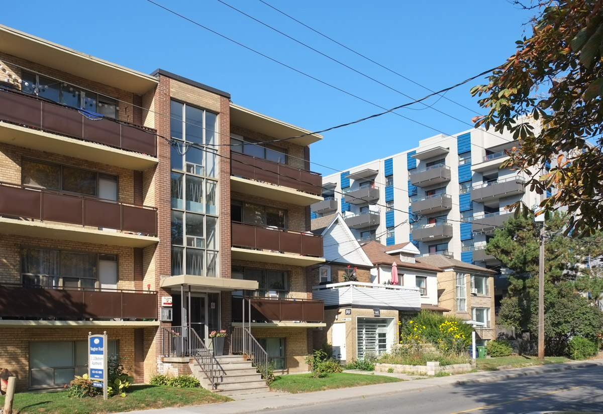

… To massive apartment buildings

below: Southwest corner of St. Clair and Vaughan Road

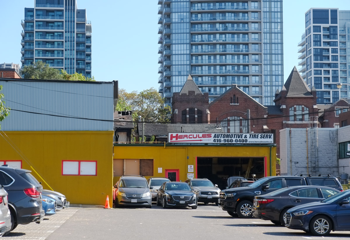
below: The bright yellow building of Hercules Automotive and Tire Service in an alley behind St. Clair. The top of St. Alphonsus R C church can be seen above it.
below: Walking westward on St. Clair approaching Wychwood Ave with yet another vacant lot.
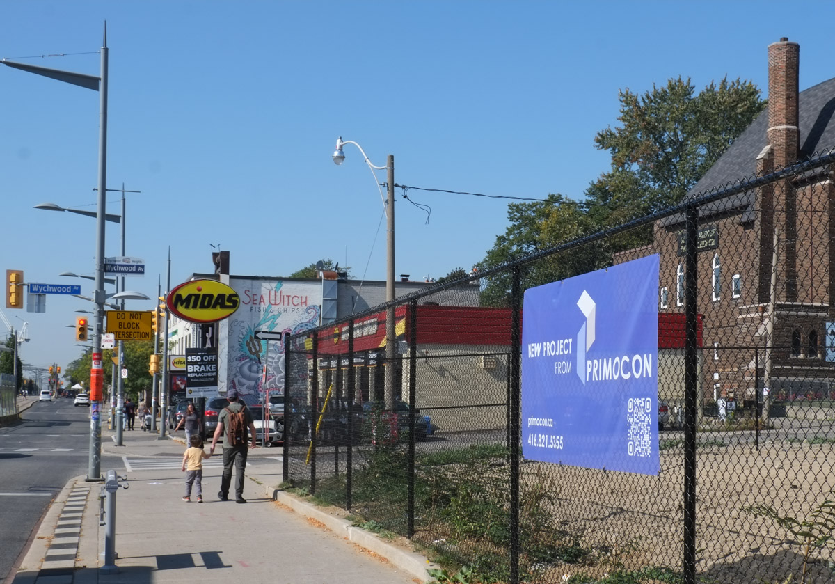
below: St. Clair Avenue Baptist Church, on this site since November 1924.

below: Beside St. Alphonsus RC Church at Vaughan Road and St. Clair.


below: Kenwood
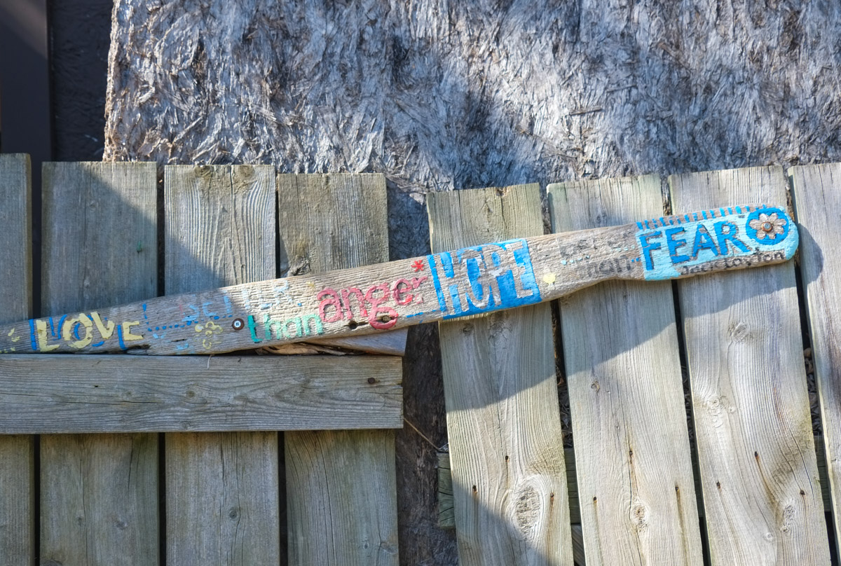
below: A Jack Layton quote: “Love is better than hate; Hope is better than fear.”

“AND people stayed home and read books and listened and rested.
… and learned new ways and stopped and listened more deeply
… and people began to think differently. And people healed
… AND when the danger ended and people found themselves, they grieved for the dead … and made new choices … and dreamed new visions… and created new ways of living… and healed the earth as they were healed.”
below: “My Blue World – I know a place where the world is still where time and space have no hold” Painting by Elly Dawson 2020. Poem by Lanna M.

below: A large Canadian flag hangs over the Toronto skyline.

Also in Helen Porter Lane, someone has taken advantage of the space here to build new housing.

The orange sign on the streetcar stop says that the 512 St. Clair streetcar stopped running early in September 2023 and will be out of service until summer 2024. The whole line from Yonge to Gunns Loop

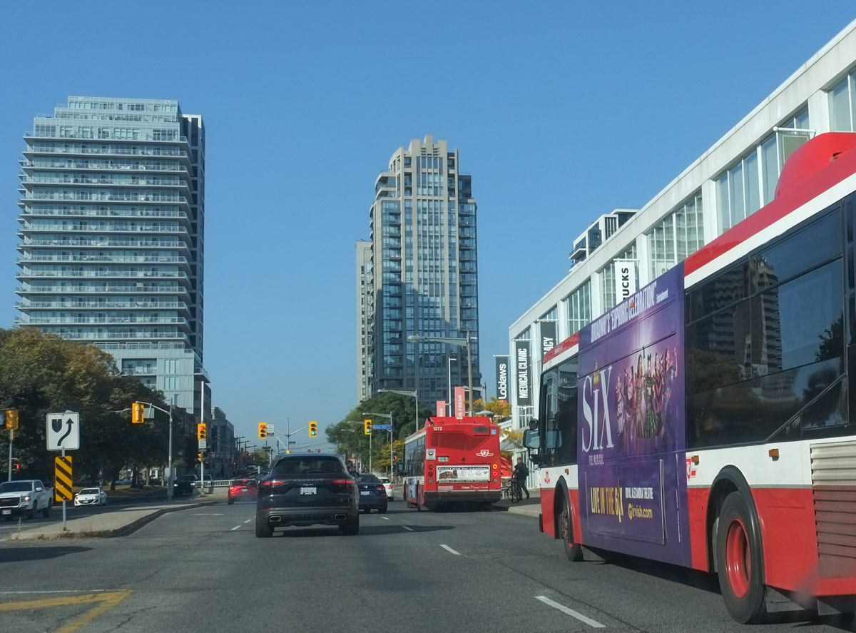
below: Westbound TTC buses on St. Clair
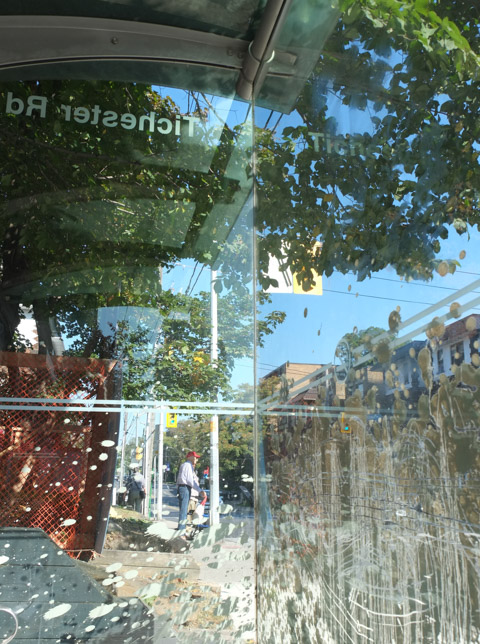
While we’re on the subject of the TTC, one very dirty bus shelter!
Stop – Take a Breath


This has become one of the more forlorn corners in the city – the northeast corner of Eglinton and Vic Park. I am not sure what the structure was originally used for or what it looked like back in the day. Now it just stands there, perhaps in limbo like the Eglinton LRT that it sits next to.

There is another one at the other end of the Golden Mile Mall (one block east at Pharmacy & Eglinton). Brutalistic and ugly.
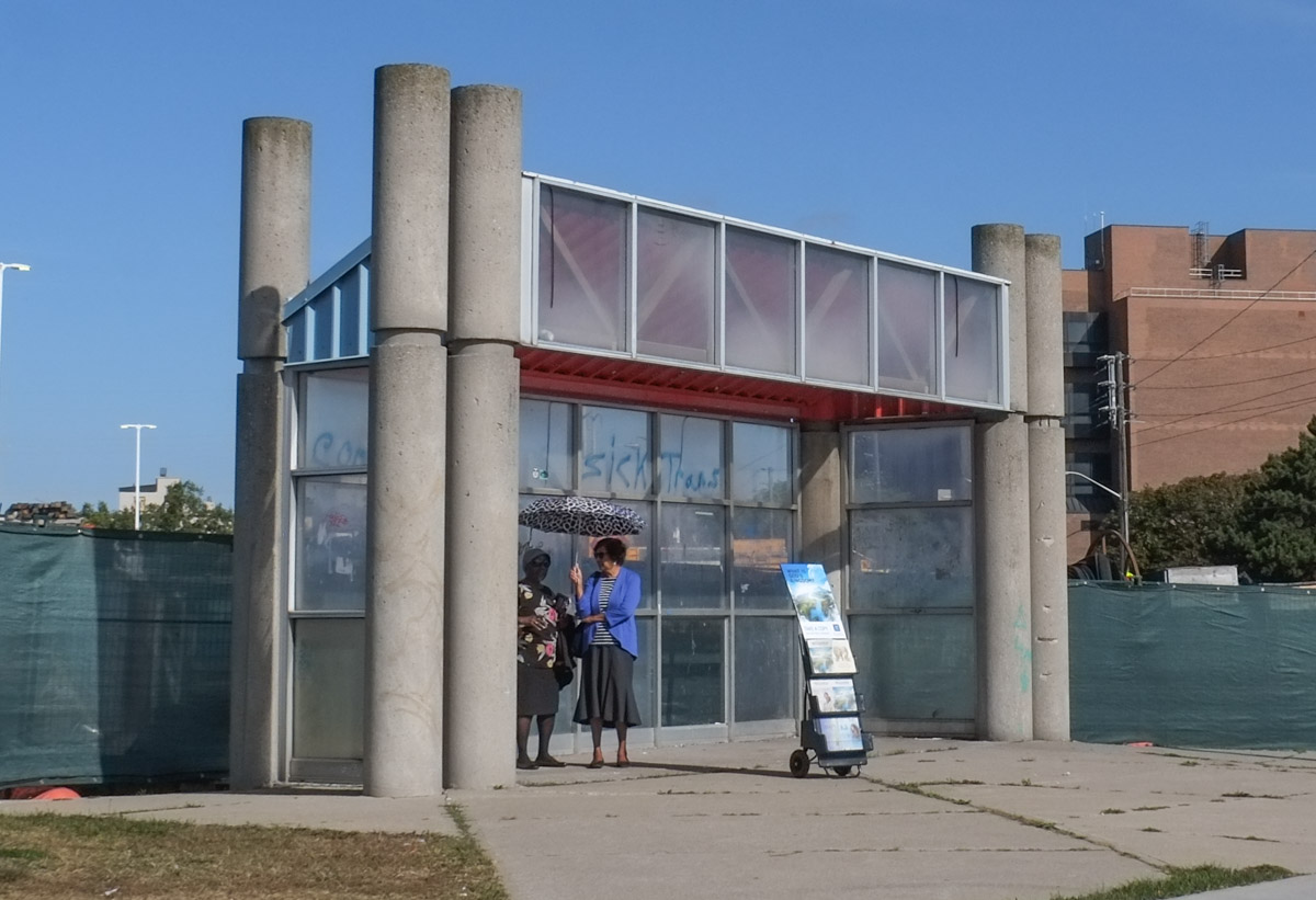
The Golden Mile Mall opened in 1954. And even Queen Elizabeth II visited it (in 1959).
below: Golden Mile Mall parking lot today. The mall (or plaza) has a No Frills and a Joe Fresh, both of which are part of Loblaws. In fact, Choice Properties REIT (also Loblaws) owns the 19 acre site and has plans to redevelop it into a mixed use site. The site runs north of Eglinton from Victoria Park to Pharmacy. It’s early in the process so anything can happen but if you are interested, the site plan is a downloadable pdf
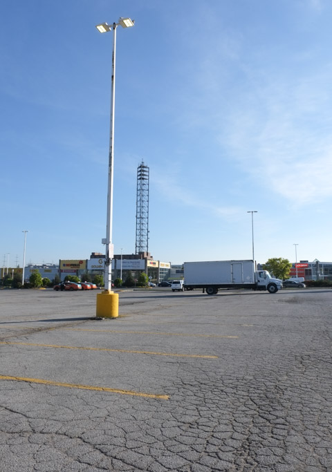
Did that tall metal structure have a purpose? Or just decoration?
Even back in the 1950s the parking lot was enormous. I get the impression that the golden mile wasn’t so golden if you didn’t own a car.

Photo Source: From Old Toronto Series facebook page. If you are interested in the way Toronto used to look, check them out!
below: Part of the mall was destroyed by fire in 1986

Photo Credit: Rick Eglinton, Toronto Star Photograph Archive, “Original Toronto Star caption: Fire guts part of Golden Mile plaza. Three of the 50 firefighters called out yesterday to battle a spectacular fire that gutted the west end of Scarborugh’s Golden Mile Plaza roll up their hoses after finally dousing the last ember. The mall, built mostly of wood in the 1950s and once Canada biggest, is now being demolished. The Ontario Fire Marshall’s Office has not yet determined the cause of the blaze. Published in Toronto Star, 16 December 1986”. Found online at Toronto Public Libbrary Digital


As I alluded to above, the Eglinton LRT has been built here. As most of you know, this is the mystery transit line – nobody knows when it’s going to be operational. Not even Metrolinx knows. Coincidences are such that after I took these photos I discovered that Metrolinx was supposed to make an announcement about the Eglinton LRT this afternoon (Sept 27). As it turns out the announcement was that there was no announcement but they will make more announcements in a couple of months.
below: So O’Connor LRT station sits waiting… Just in case you don’t know, O’Connor station is at Eglinton & Vic Park (O’Connor Drive ends at Vic Park a short distance south of here).
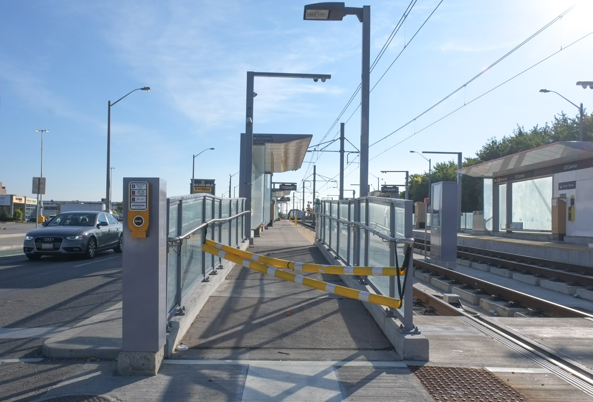
below: O’Connor LRT station, from another angle

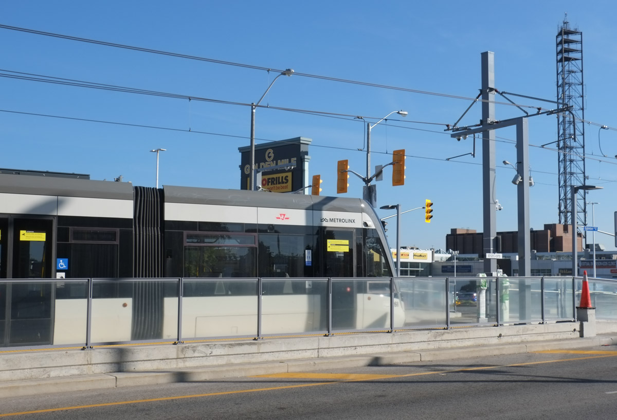
below: I was shocked to see a streetcar pull into the station! They really are running tests or training people, or whatever it is they’re doing. Back in early June 2021 (more than two years ago!) the first LRT vehicles made their debut in Toronto (blog post from that day)

When the area was first settled it became farmland. A few apple trees still grow along the side of Pharmacy Ave

During WW2, the Canadian government bought some of that farmland and built a munitions plant known as GECo (General Engineering Company). This factory was south of Eglinton and east of Pharmacy. After the war, many other industries moved into the area. Beginning in the 1980s, the industries started leaving.
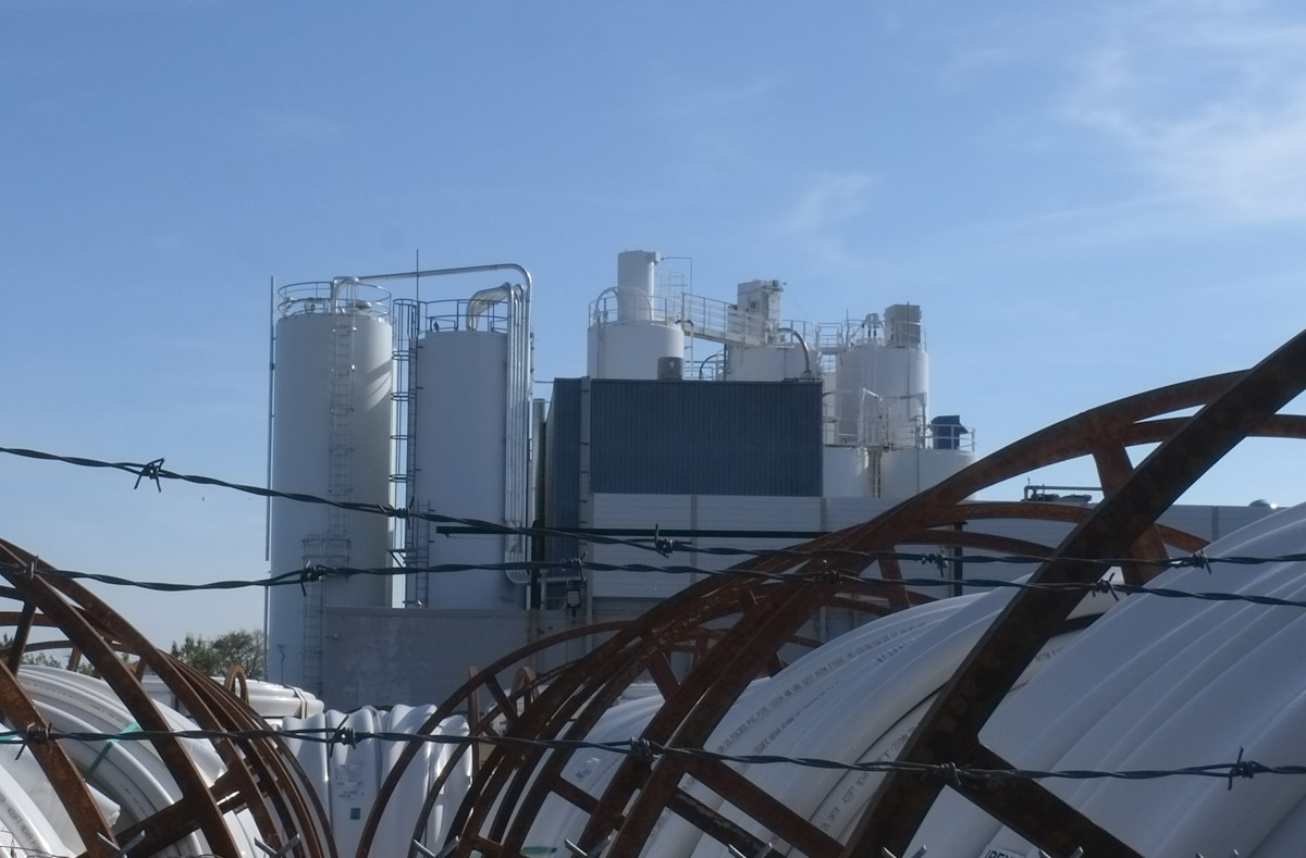
below: Today there are still a few left such as this IPEX facility – they make thermoplastic pipes (such as PVC pipes used in plumbing)
Another industry, Flexible Packaging Corp, has moved on


If you google their address, 1891 Eglinton Ave East, you will discover that there are plans for the latest trend – the mixed use community – here too. Tall condo towers, retail, and public space (here 5 towers, 4 of which between 30 and 45 storeys). There are going to be a few of these along Eglinton. For instance, the Crosstown neighbourhood is well underway at Eglinton and Don Mills. And there is the Golden Mile Mall redevelopment that I mentioned above.

The Eglinton LRT has, not surprisingly, encouraged a lot of redevelopment. Almost every building along Eglinton between Victoria Park and Pharmacy has a blue and white development notice in front. I didn’t walk farther east but I suspect that a similar story is playing out there too.
below: At the southwest corner of Eglinton and Pharmacy, one tall tower of 35 storeys

below: North side of Eglinton, 2 towers – 38 and 40 storeys.

Across the street from the Golden Mile Mall is Eglinton Square, another mall. It too has a development notice out front. It was dated 2018 so take it with a grain of salt that the mall is retained but 91 rental units behind it will disappear. … Can we believe that? So… A quick google and yikes! Seven towers, 5 of which are 40 storeys or more for 1 Eglinton Square. Really? Are we that short of ideas for housing? In twenty to thirty years are we going to look around and wonder what the hell happened here?
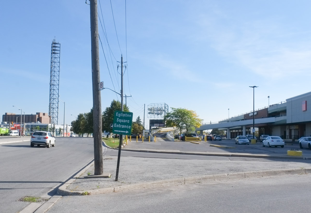
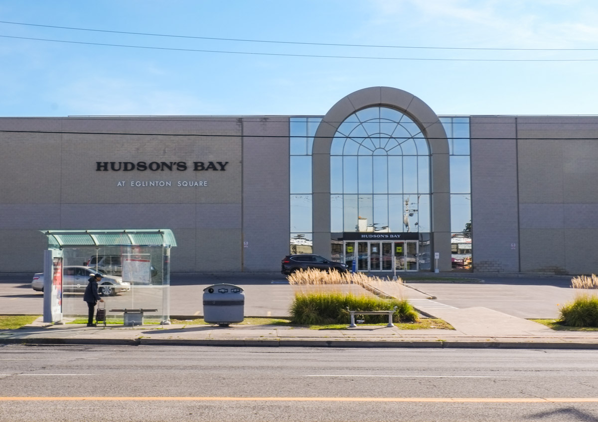
below: HBC on the west side of Eglinton Square
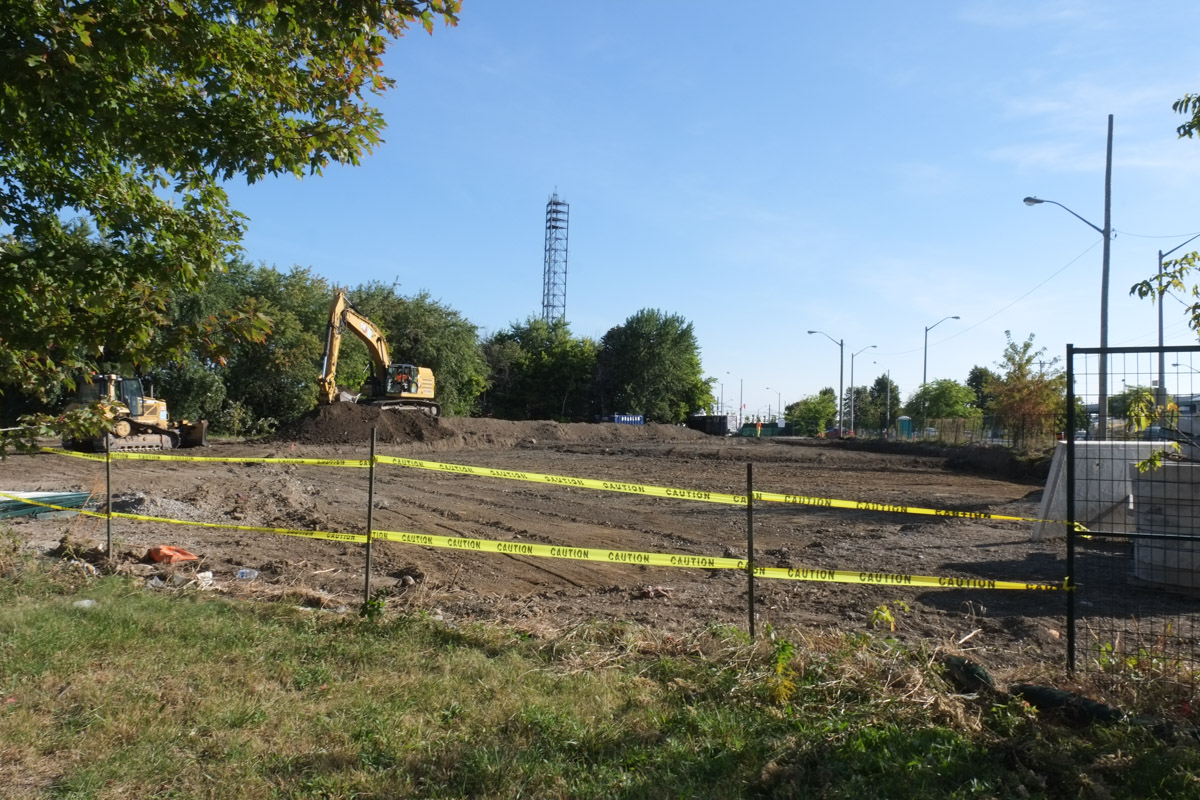
below: This is the triangle formed by O’Connor Drive, Eglinton Ave., and Victoria Park Ave. The parkette that was here is all dug up. I’m not sure that I want to know what’s happening here.
Graffiti

below: Danger due to blunt mop. At first I thought it was someone’s strange humour but on closer look realized that it was an advert for a soundcloud account.

below: Help wanted! and “help” available at a price


*****
Additional Note:
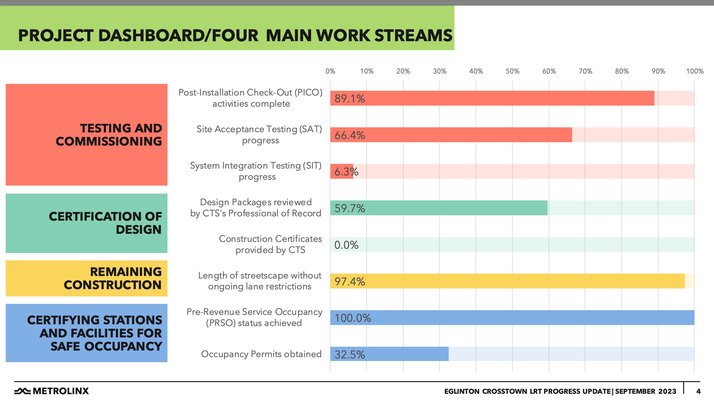
This is the “Progress Chart” released by Metrolinx today re the Eglinton LRT.
There has been a lot of talk about Ontario Place in the news lately so I thought that I would take some time to explore that part of the city.
below: My walk started in Liberty Village where I discovered that others are trying to promote walking around and exploring here. If you are interested, Walk Liberty is online. It is a fairly comprehensive guide to the history of the area.

below: Cut into the back of this bench are the words “Is it not the reason we are here”. This bench was designed by Jose Andres Mora was part of the Liberty Village BIA Artist Bench series from 2019. My reason? … Well, I was only passing by because it was a convenient place to have a cup of coffee before walking towards Ontario Place.

below: Comfortable shoes as we keep on walking

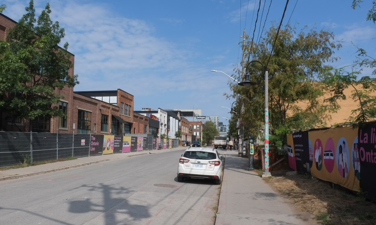
When I reached Atlantic Avenue I discovered that most of the south end of the street was now part of a construction site – both sides of the street have Metrolinx Ontario Line hoardings.

below: The Liberty Trail is closed. This sign was posted by Ontario Transit Group. They are the group who are building some of the infrastructure for the Ontario Line. There are a number of companies included in this group with the two leads being Ferrovial Construction Canada Inc., and VINCI Construction Grands Projects. They were awarded the six billion dollar contract in Nov 2022 and if you want to see a list of what that money should buy us, the information is on an Infrastructure Ontario website (while you’re there, spot the typo!).


below: Looking north on Atlantic Avenue
below: The Exhibition GO station is at the south end of Atlantic Ave. The new Ontario line will also have a station here. The ability to transfer between GO and TTC services here will impact a lot of people who commute from the western side of the GTA as they may be able to bypass Union Station.


below: From Exhibition station east towards the city centre, north side. A new street that parallels the railway tracks is being built here. If the plans are correct, the new street will connect Strachan Ave in the east with Dufferin St in the west.

below: Construction on the north side of the tracks at Exhibition station where a new concourse area is being built above the tracks
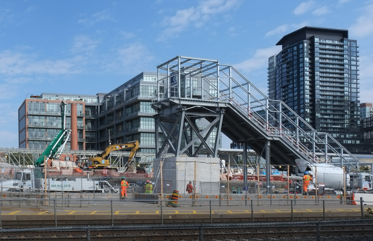
below: Looking eastward from the south side

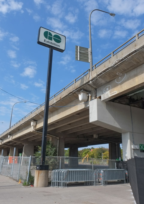
After walking through the tunnel under the tracks at Exhibition GO station, you emerge under the Gardiner Expressway, right beside the Exhibition grounds. …. And so begins Part 2. A quick note – when Metrolinx describes Exhibition station on the Ontario Line, they usually add “Ontario Place” to it, i.e. it’s Exhibition/Ontario Place station.
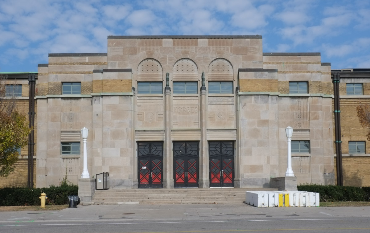
The first building that you encounter on the south side is the Horse Palace
below: South entrance of the Horse Palace. Three levels of government contributed to the construction of this building which opened in 1931. It is two storeys high and covers 4 acres. Originally it accommodated 1200 horses. Today it is home to Toronto’s mounted police unit.
below: Horse in the art deco style, carved in the limestone facade of the Horse Palace.

In August it is busy here as it is the home of the Canadian National Exhibition (CNE) but September is another story! I didn’t see many people as I wandered around. The buildings are locked up tight.

One of the dominant features of the area is BMO field which was built as a large soccer stadium. In 2016 it also became the home of the Toronto Argonauts, the other Toronto football team.

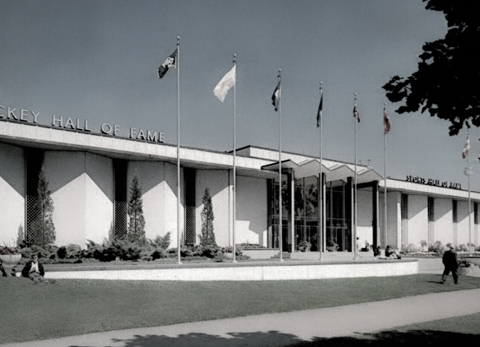
below: Mural above the entrance, gate 6 BMO Field. This mural can be difficult to see from outside because it is behind a window. It confused me at first because why is there a hockey themed picture at BMO field? – they don’t play hockey here. As I was trying to get a closer look at it from outside, a group of men walked past and one of them asked me if I needed help…. here’s the story: Once upon a time the Hockey Hall of Fame was here. When the building was demolished in 2006 to make way for the soccer field, portions of it were retained including the entrance and this mural, “Face Off” by Ronald Satok.

below: The Hockey Hall of Fame building (1961-1993) at the Exhibition. The mural is behind the glass in the entrance way.
below: Also at BMO Field is a Wall of Honour commemorating iconic moments and MLS Honours (e.g. coach of the year, MVP players, etc). Red and white are the colours of Toronto FC (Football Club) whose home is here at BMO stadium. Note: (MLS = Maple Leaf Sports, owners of the Toronto FC )

After WW2, the popularity of the CNE was booming and more modern spaces were needed. The Hockey Hall of Fame building was a great success so the Food Building (1954), followed by the Queen Elizabeth Building (1957), and the Better Living Centre (1962) resulted. These buildings still stand. All were very modern buildings for their time.
below: Food Building

below: Queen Elizabeth Building

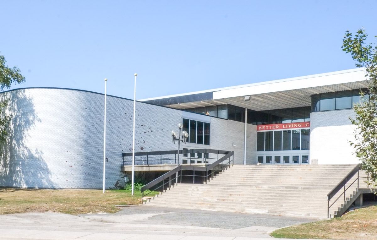
below: Better Living Centre, symmetry of the side entrances. In the 1960s this building housed exhibits during the CNE that featured different rooms decorated with the latest trends and gadgets… like colour TVs! and other consumer goods.

below: Front entrance with its wide stairs leading to the doors as well as one of its curved walls
below: Artwork on the roof of the Better Living Centre is a three dimensional grid of steel with different coloured plexiglass panels in some of the squares.


We entered the Exhibition grounds by tunnel and we will leave by bridge over Lakeshore Blvd…. so to Part 3, Ontario Place

below: Looking west from the bridge over Lakeshore Blvd

Ontario Place consists of three different areas, East Island, West Island, and the pods in the middle. When Ontario Place first opened in 1971, the eastern portion was a children’s adventure playground. Today it is Trillium Park. I didn’t go there last week, but if you are interested, I blogged about it on two previous visits (a rainy day from June 2019, and Ontario Place 2.0 from July 2017)
The middle section of the park is where you find the “pods”, the elevated structures with water below, and the marina.

The contentious part at the moment is West Island.
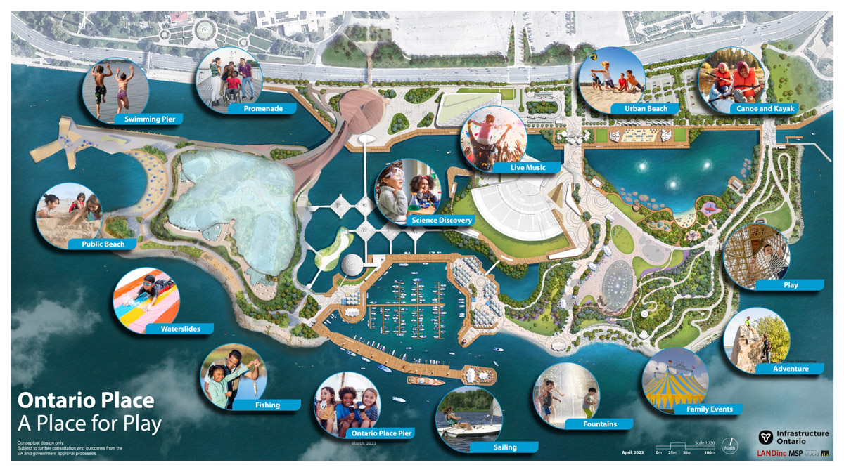
As far as any plan can be trusted, this is from Infrastructure Ontario, dated April 2023. The majority of the West Island becomes covered with a 12 acre waterpark and spa to be built by an Austrian company, Therme. The majority of that is housed in glass buildings.
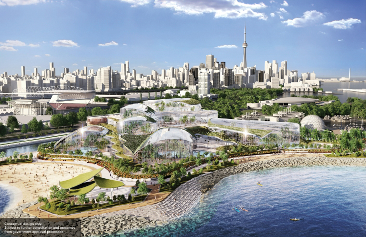
This is a conceptual drawing from Therme’s website. That’s a lot of glass. If you know West Island, you’ll realize that this drawing looks nothing like it. That’s because everything is to be removed, leveled, and a lot of landfill added.
Already gone is a bell, the Goh Ohn Bell. This is the Japanese Canadian Centennial Temple Bell. I took this picture on the 20th of Sept and by the 25th it was gone. Despite a protest on the weekend, it was removed to storage. The Temple Bell was installed in 1977 in a structure designed by Raymond Moriyama (1929 – Sept 2023); it was a gift to the province Japanese Canadians living in Ontario to mark the centennial of Japanese settlement in Canada. Now it is in the way of the Therme spa. Even though the project has not been approved, the provincial government is plowing ahead.


Some say that the West Island is under used now anyhow…..
Perhaps. But the biggest reason for that is the neglect (negligence actually) that it’s been subjected to over the years.
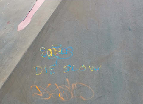
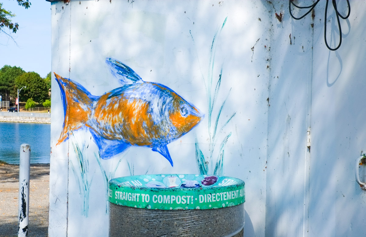

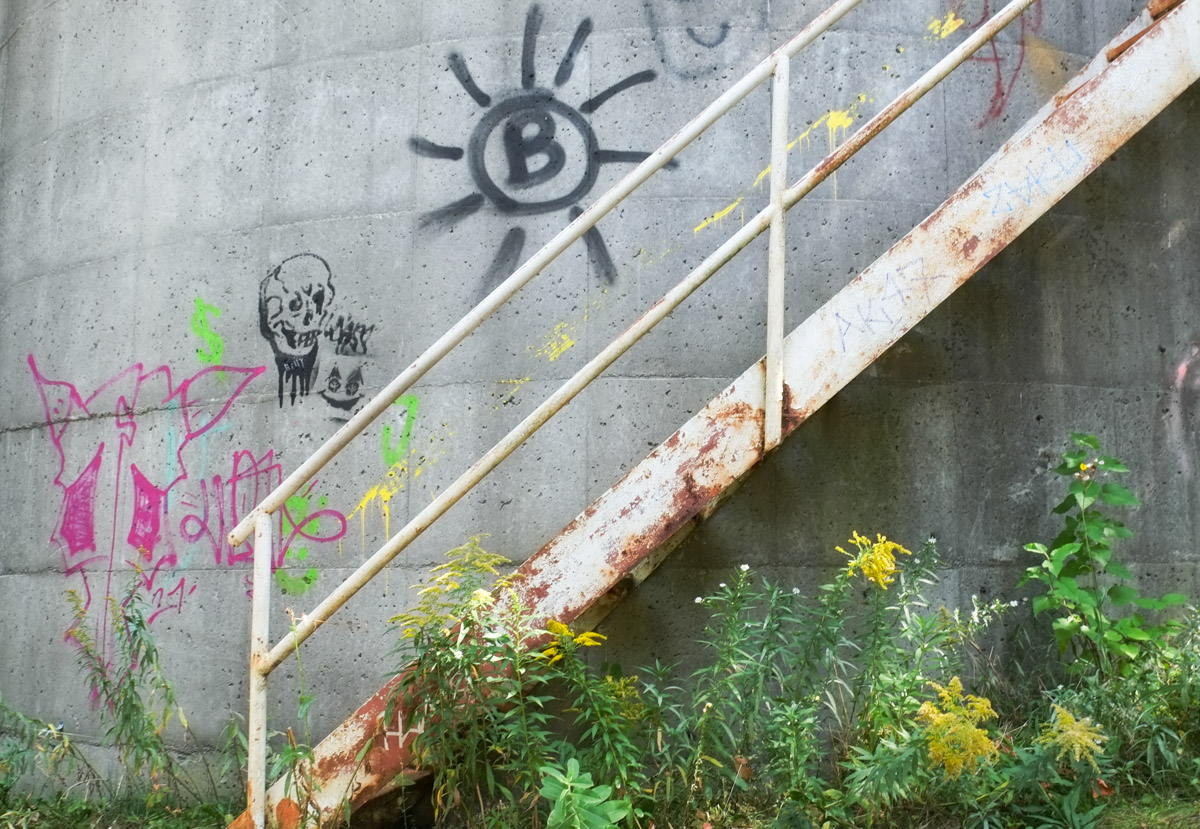
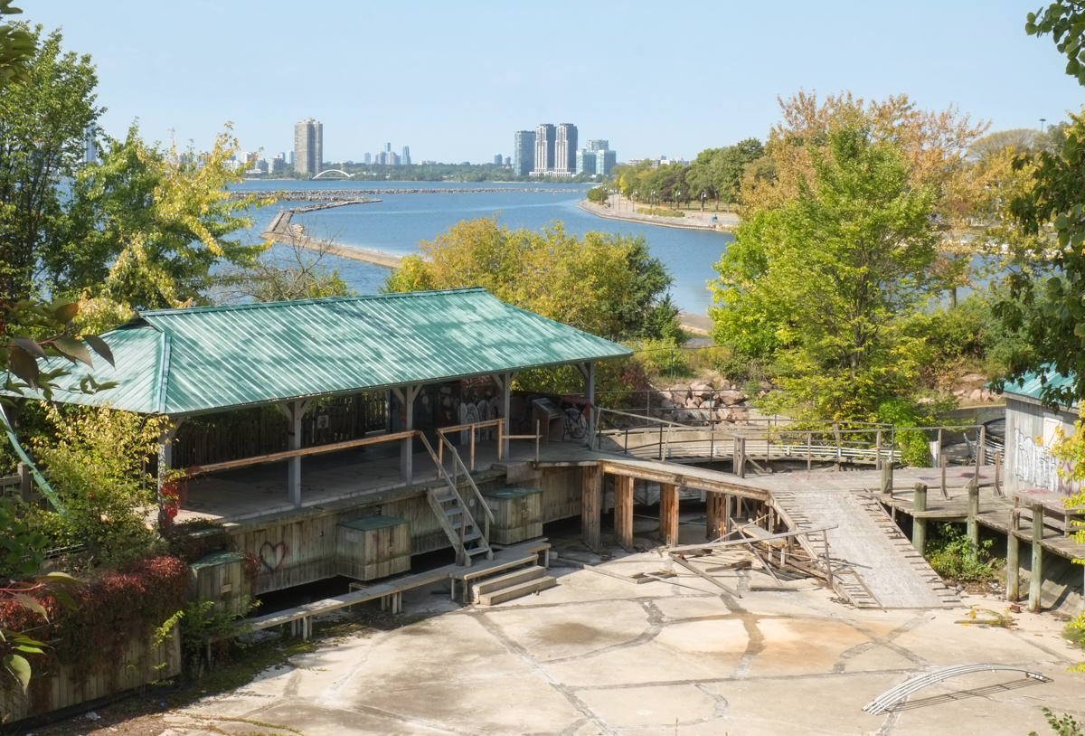
Once their were restaurants here but they closed years ago. Their ghosts remain.
below: Pizza anyone?

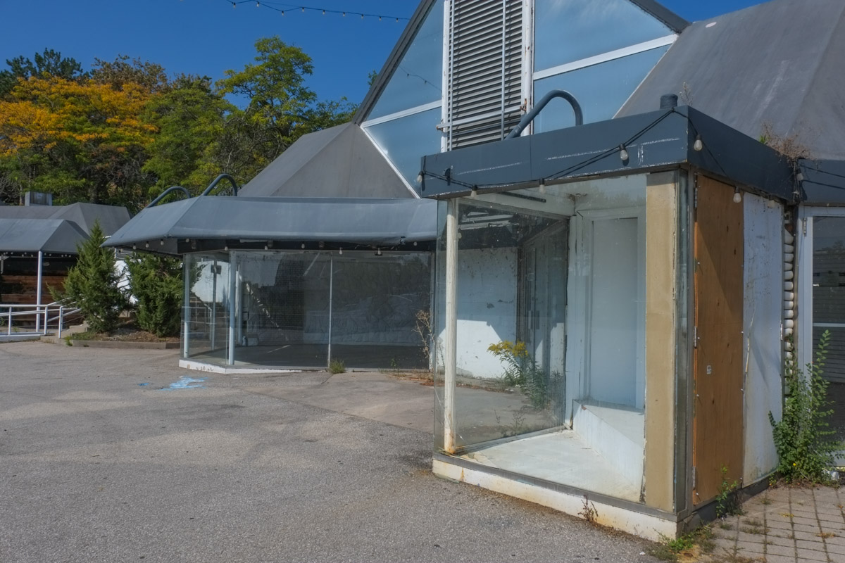
Once there were amusement rides here, those ghosts too still haunt the place.
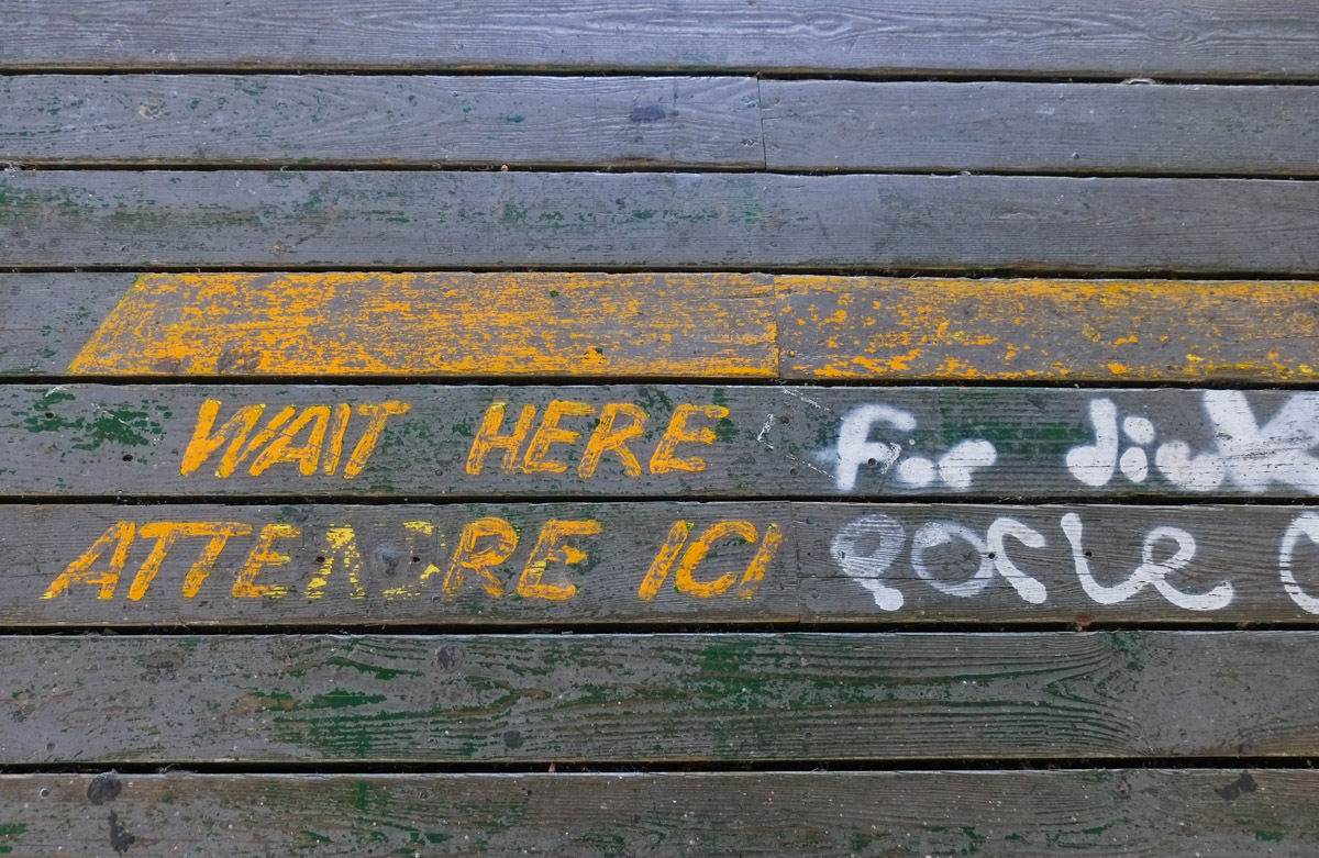
below: Yellow lines to stand behind while you waited your turn for a ride.
Once upon a time there was some attempt to make something of the place. Then it was abandoned and ignored. In those quiet years the beach and paths were used by those who knew about them. It became a peaceful spot.


Unknowns – there are many because there has been nothing transparent about any of the dealings between Therme and the provincial government. Therme gets a 95 year lease but what are the terms? The provincial government is going to pay for an underground (under the water table!) parking lot for 2000+ cars apparently. They will also be responsible for all those little details that you can’t see – like where does the water go when you flush the toilet? – those little pesky things. Rather than go into more detail here, I highly recommend John Lorinc’s article in Spacing magazine, Below Grade Scandal
Not everyone is happy with the plans…..

These are some of the photos that I took the last time that I walked along Queen Street East – with a diversion or two down to Eastern Avenue. It was a wander around parts of the Leslieville and Riverside neighbourhoods. In no particular order….
below: Leslieville mural painted by Elicser Elliott, Queen Street East
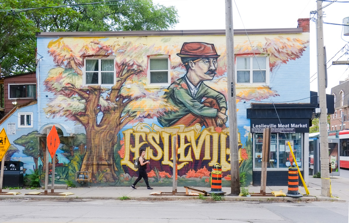
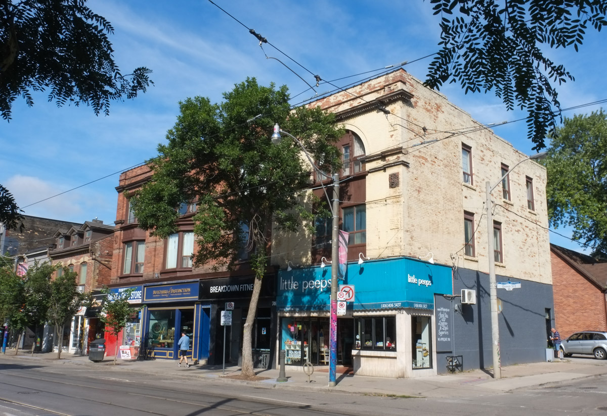
below: Queen Street shops
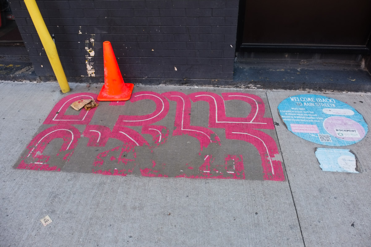
below: Hebrew letters, part of a project called “Welcome Back to Main Street” from back in 2021. The Riverside Neighbourhood and Leslieville BIA collaborated with STEPS Public Art as part of the I HeART Main Street Challenge. The painting was done by local artists Bareket and Curtia Wright
below: … and nearby, “welcome” in Polish, witamy.

below: At 744 Queen East, the old white Bank of Commerce building with its bowed front facade, dates from 1905. The architects who designed the building were Darling & Pearson who were responsible for a number of bank buildings in Toronto and other Canadian cities.

below: Blessed Love Caribbean Grocery and Take Out.

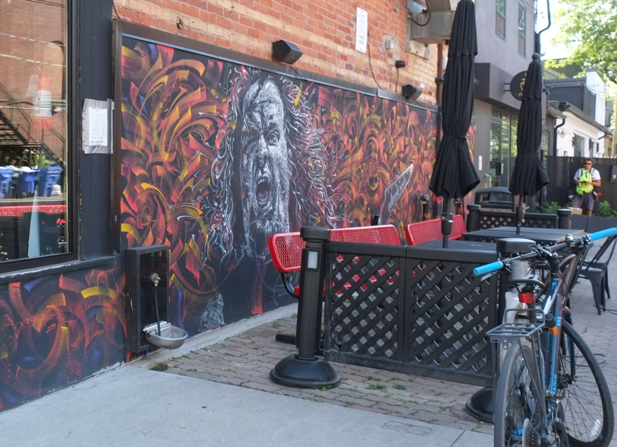
below: A frenzied backdrop to a sidewalk patio.
below: Ghost sign at Queen and Coady.

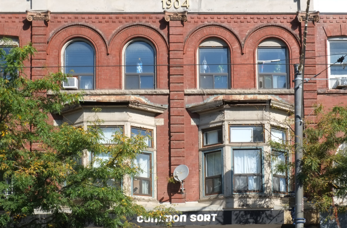

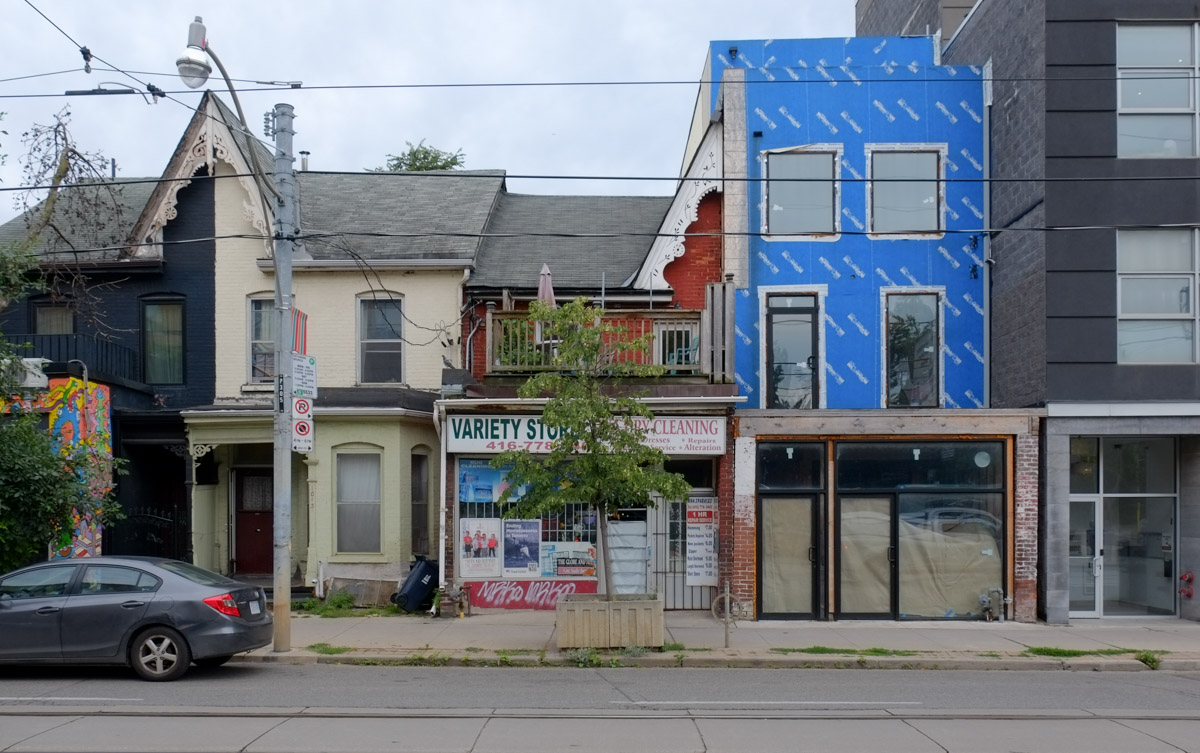
below: More details from the past trying to hold on. The “blue box” has obliterated the old gabled roof structure that has probably been there for more than 100 years.
below: Canadian flag motifs on planters

below: Strange ducks on posters, a form of graffiti? Or just weirdness?

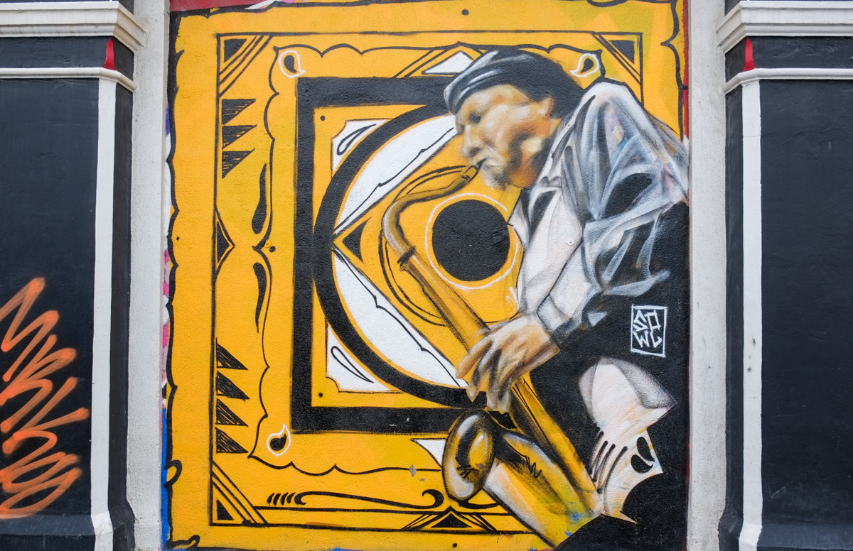
below: Sax player at the Duke
below: Mediah on Queen
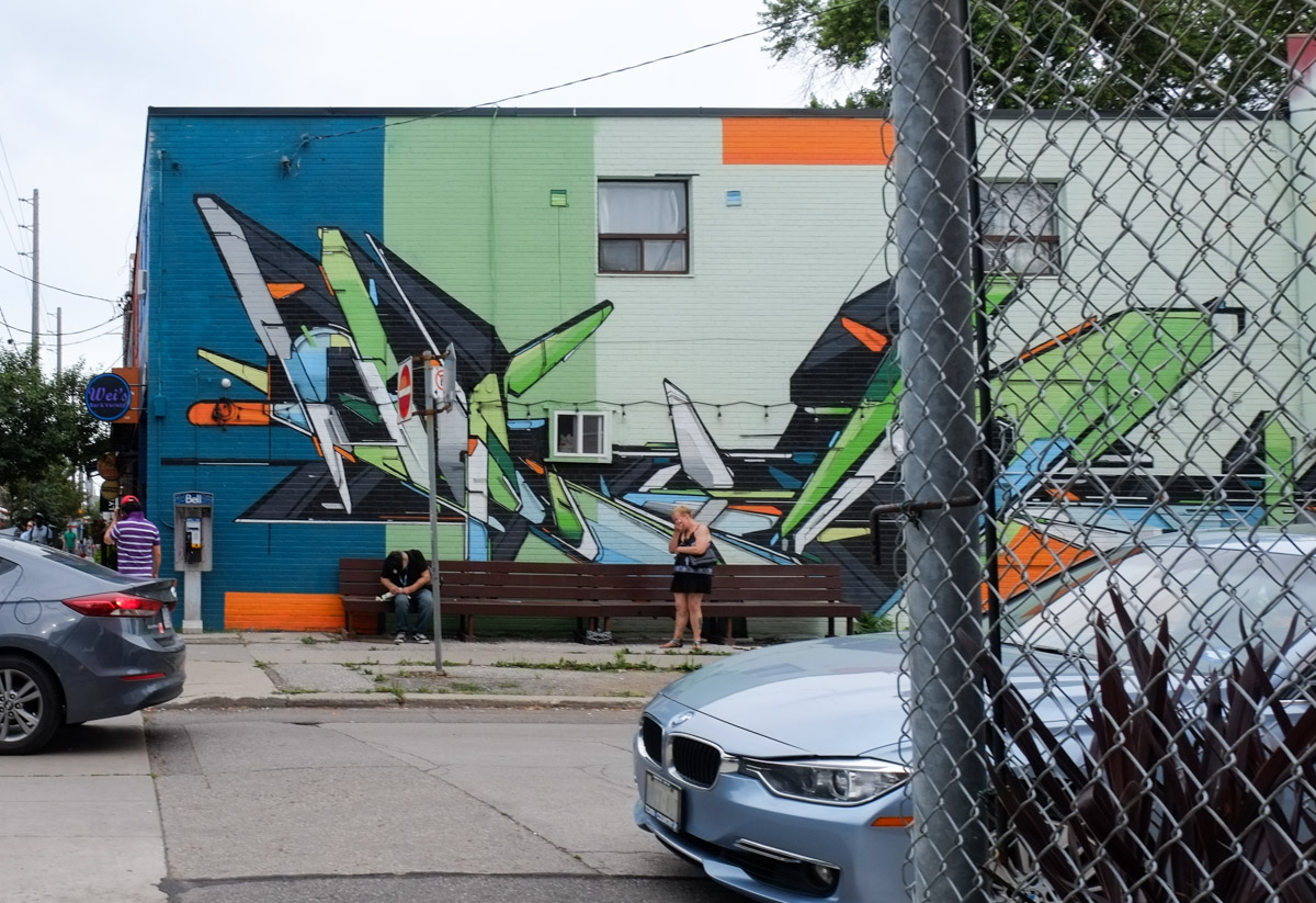
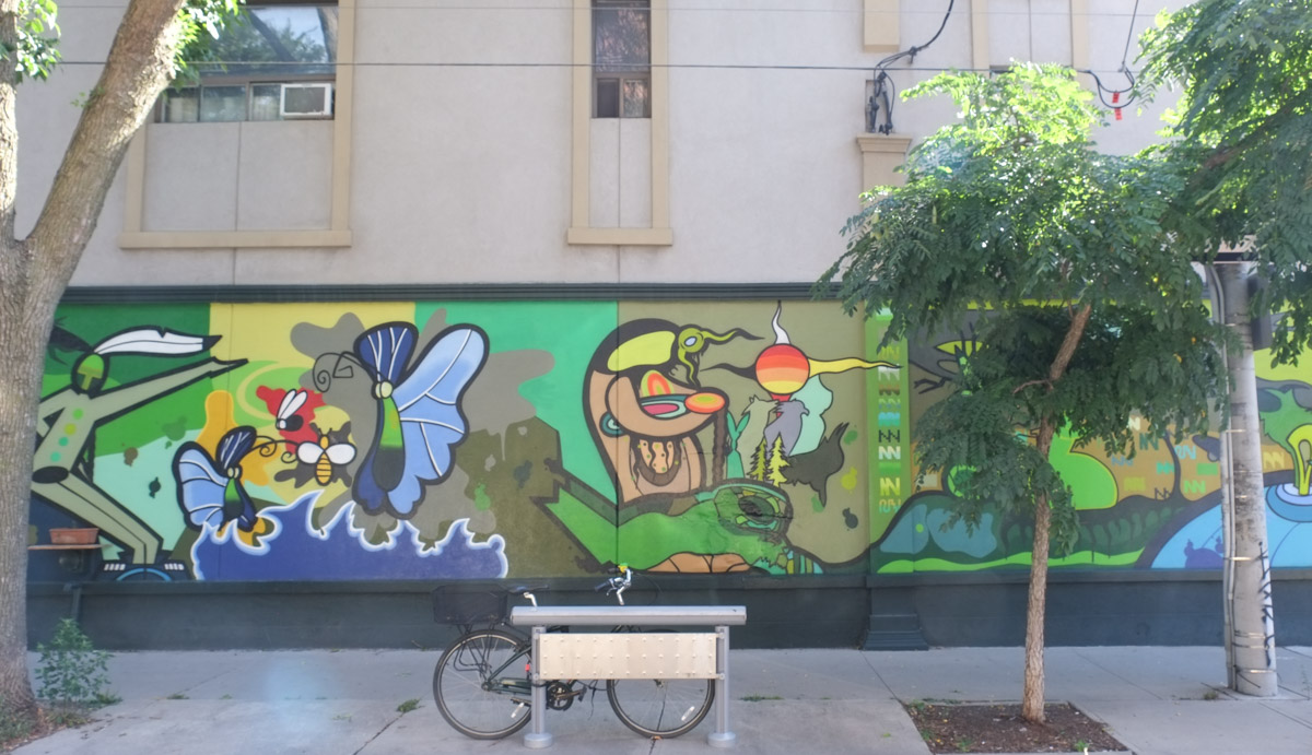
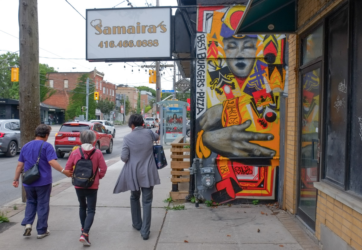
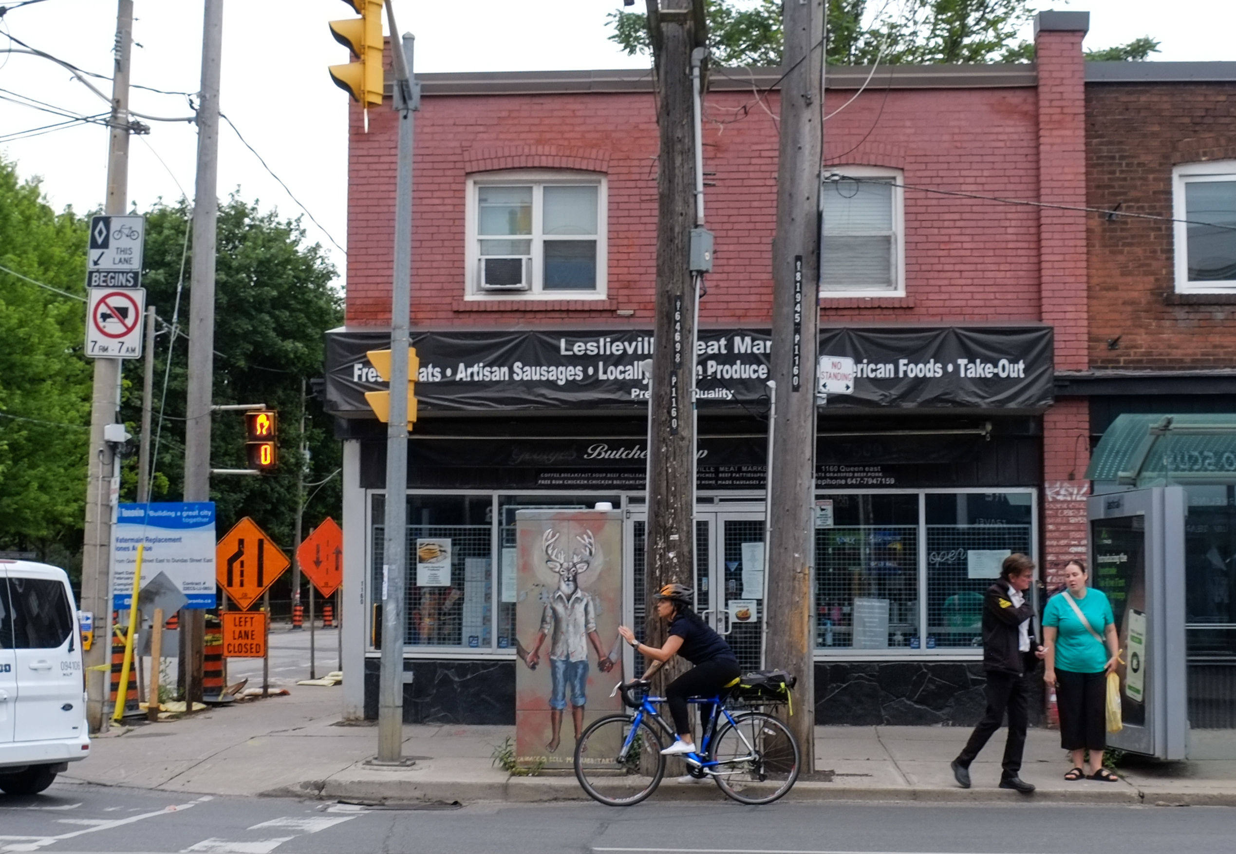
below: on Broadview

below: Gales Snack Bar, Eastern and Carlaw.

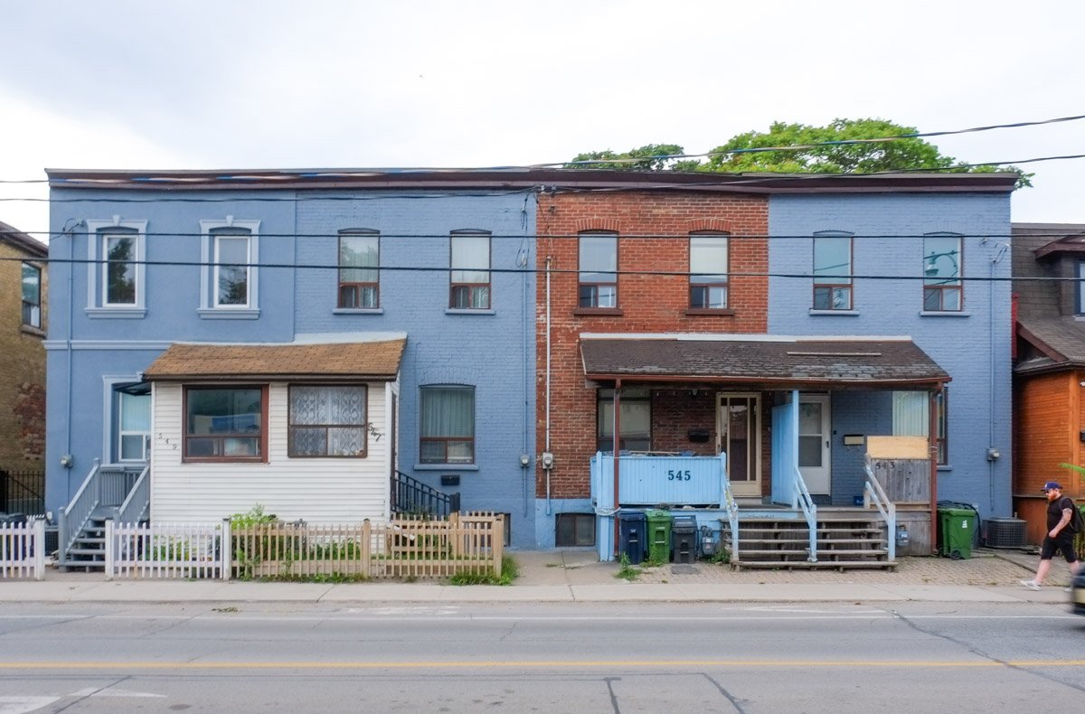
below: Old row houses on Eastern – 4 in a row, 3 blue but 545 is in its original brown.
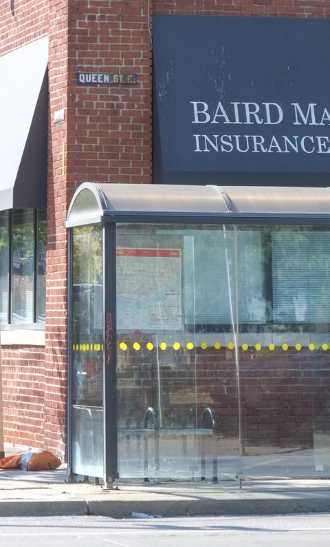
below: Something else that is old – an old style bus shelter close to an old metal Queen Street street sign affixed to the brick building.
below: And one last “you don’t see many of these anymore” – old parking meters. Anyone got coins?

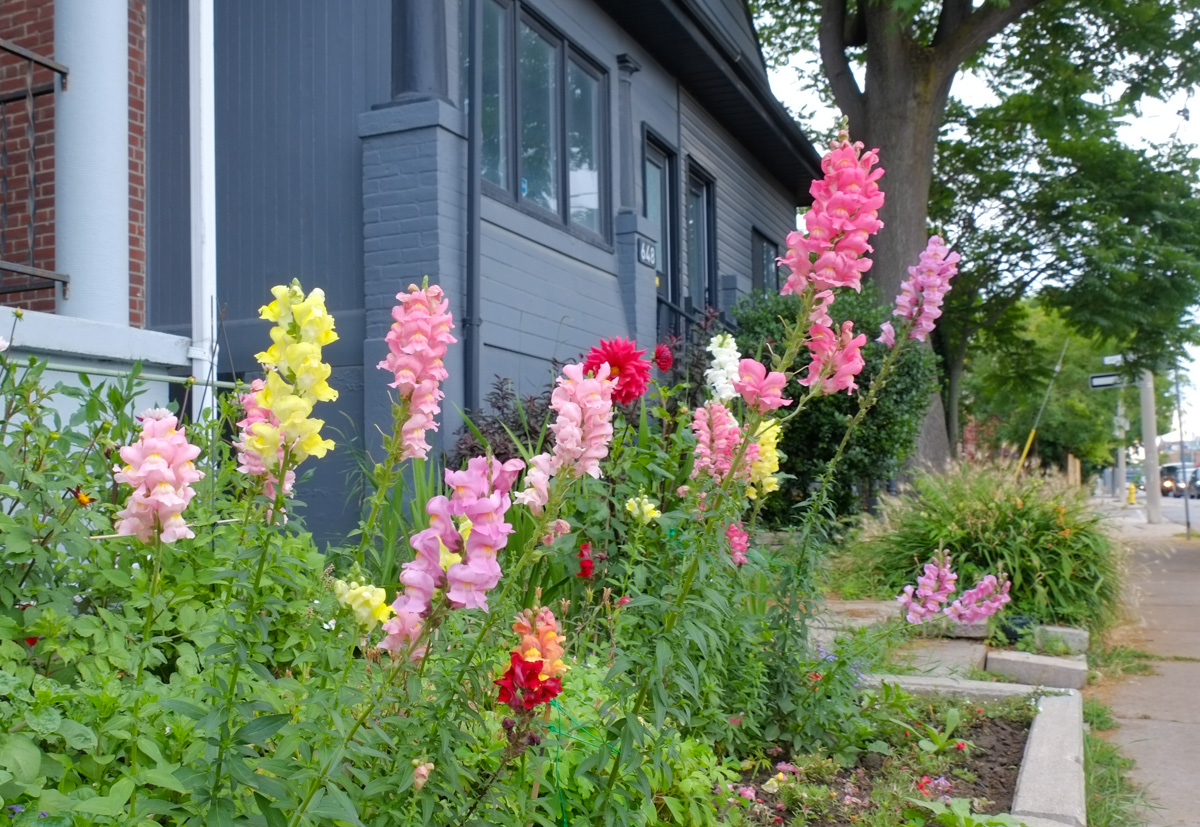
below: Snapdragons
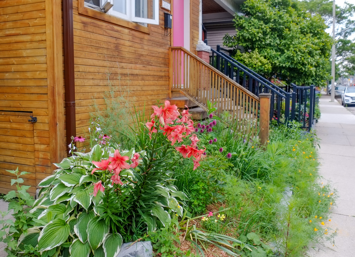
below: Lilies and hostas
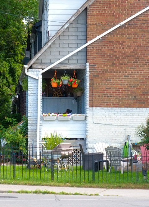
below: More flowers, and a baby pram too. Did you know that pram is just a short form of perambulator? How British is that! Even better, the second meaning of perambulator is, “a person who walks, especially for pleasure and in a leisurely way.”
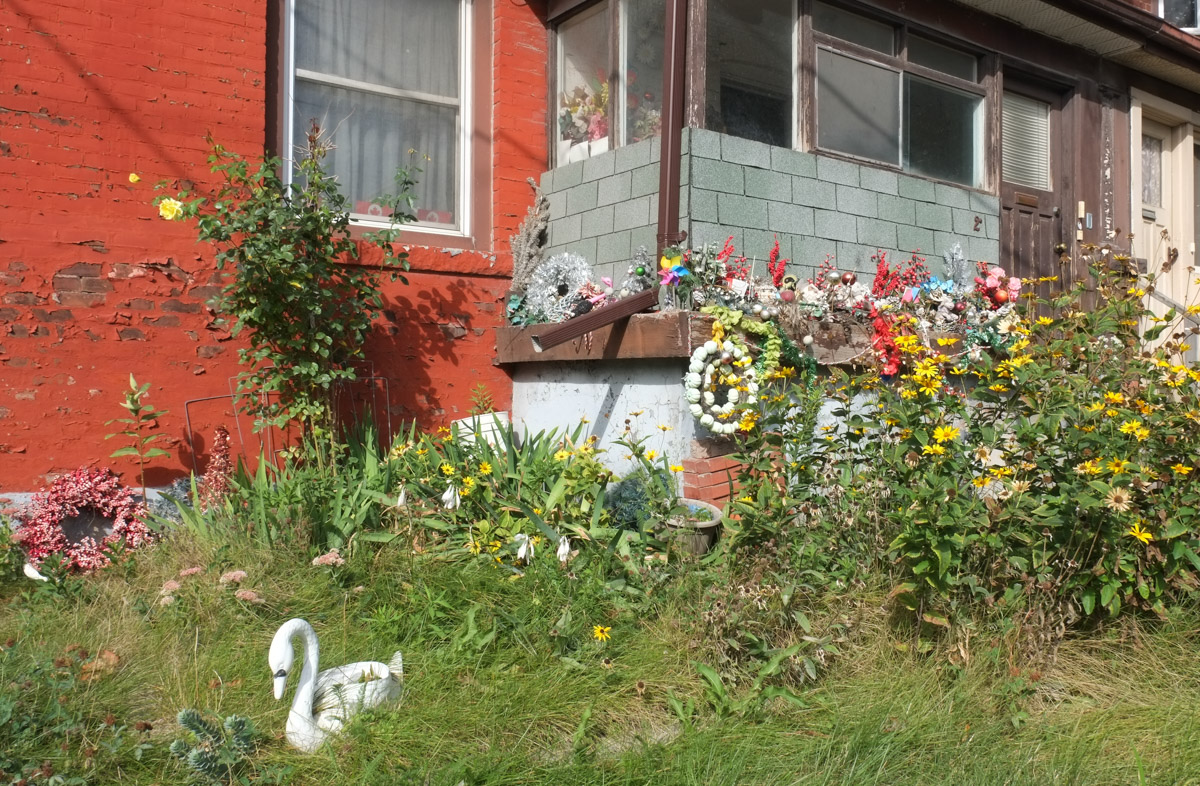
below: More than flowers!
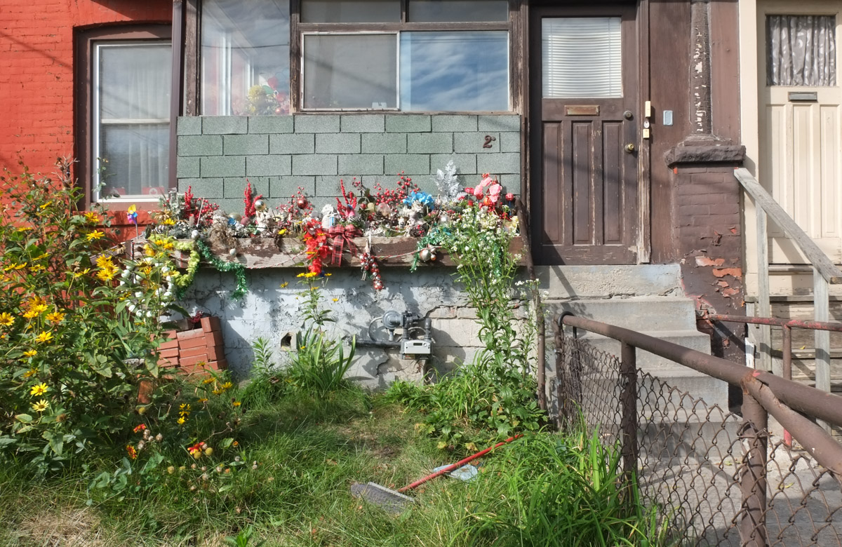
below: Perambulating on Queen West!


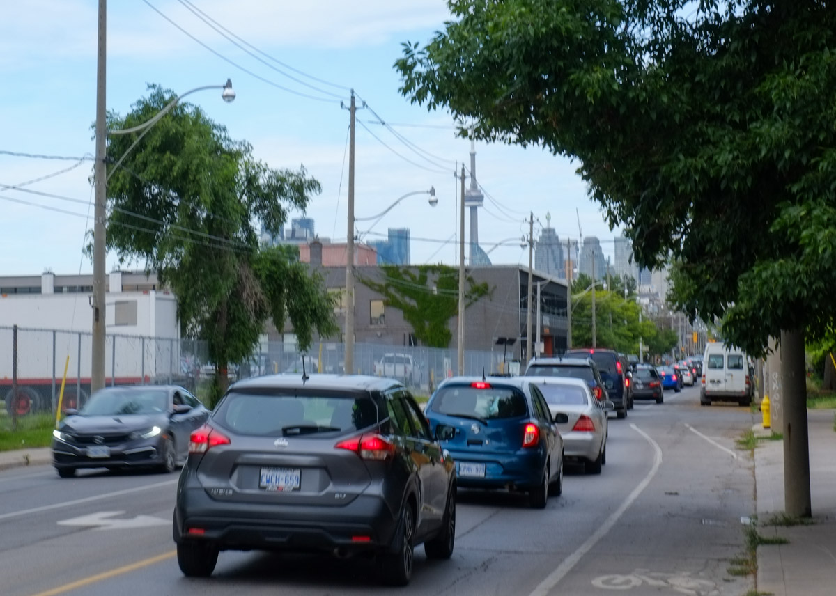
below: Traffic on Eastern Ave, headed downtown.
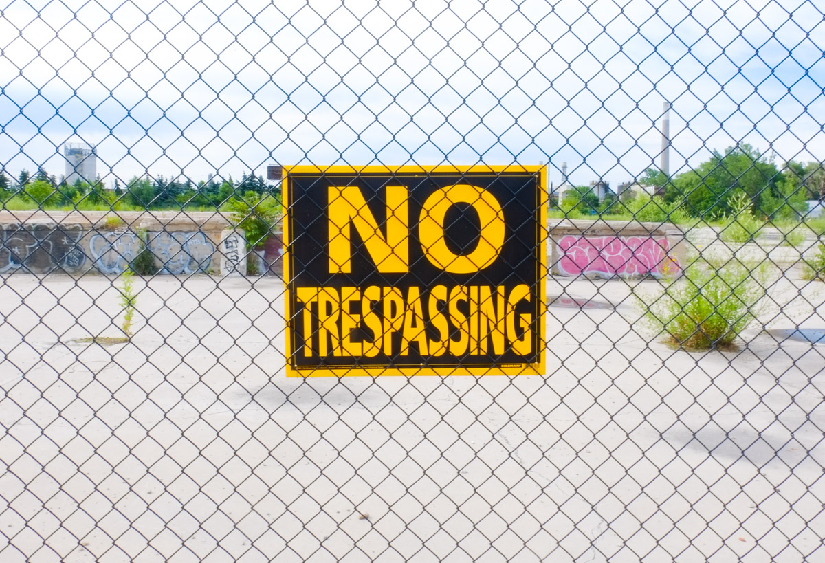
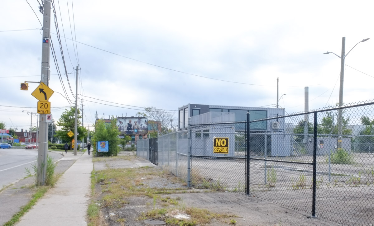
below: No trespassing sign on one of the many vacant lots on the south side of Eastern.
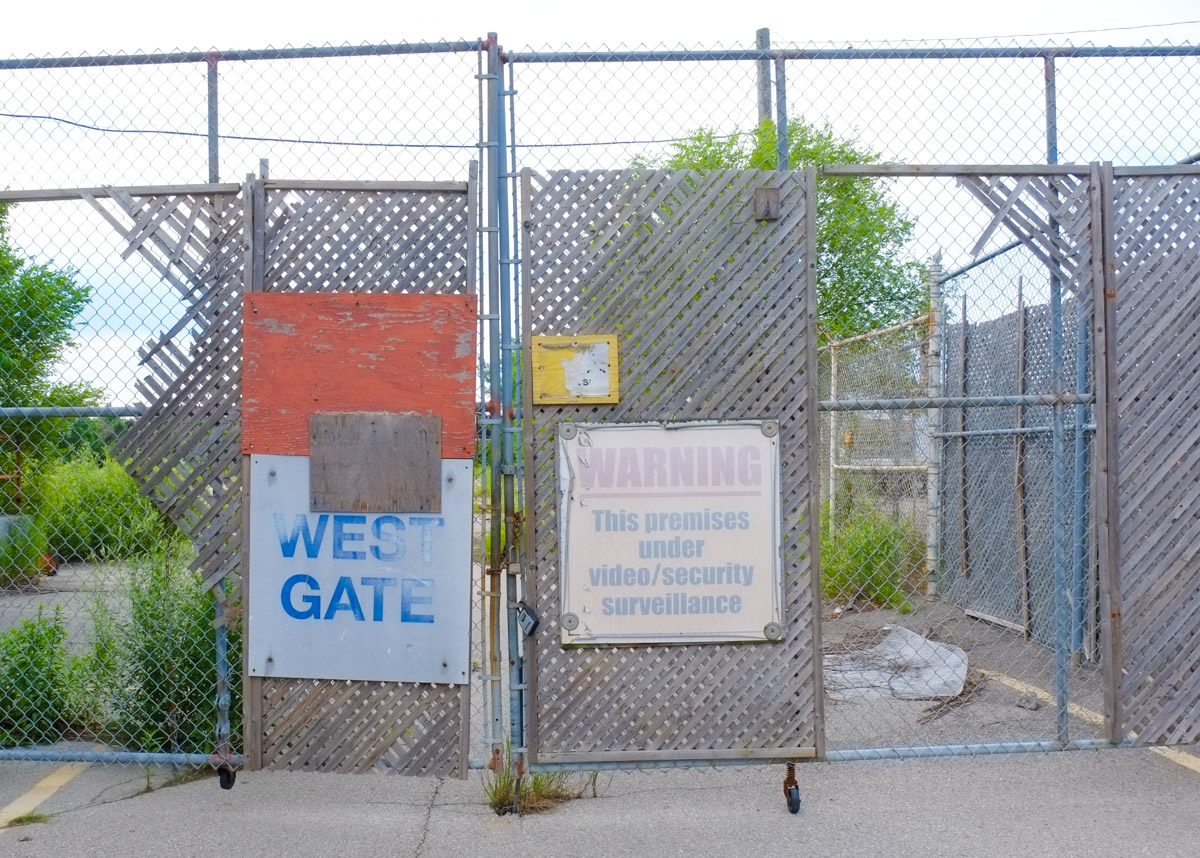
below: This is one of the vacant lots on Eastern; it’s just west of Leslie. The containers are offices (?) for GM as in General Motors. They are sitting on a seven acre site that is otherwise empty. Starting back in 2016 there was talk that this site would be developed as a GM Mobility Campus but approval from the city was never granted. The previous buildings (film studios) were demolished and the lot lies vacant.
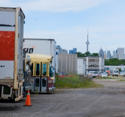
below: Another space is for storage of old buses and trucks, movie props and other remnants of film productions.

below: … which happened to be unlocked the day I walked past.

below: On Leslie Street, at Eastern, this whole building is for lease because….
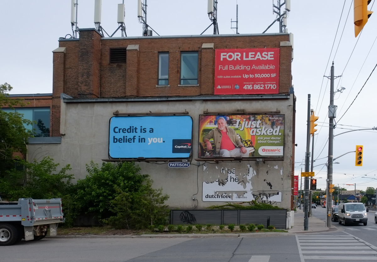
below: .. as the letter states, the last tenant was locked out. They abandoned the premises leaving behind more than $100,000 in rent owing to the landlord.

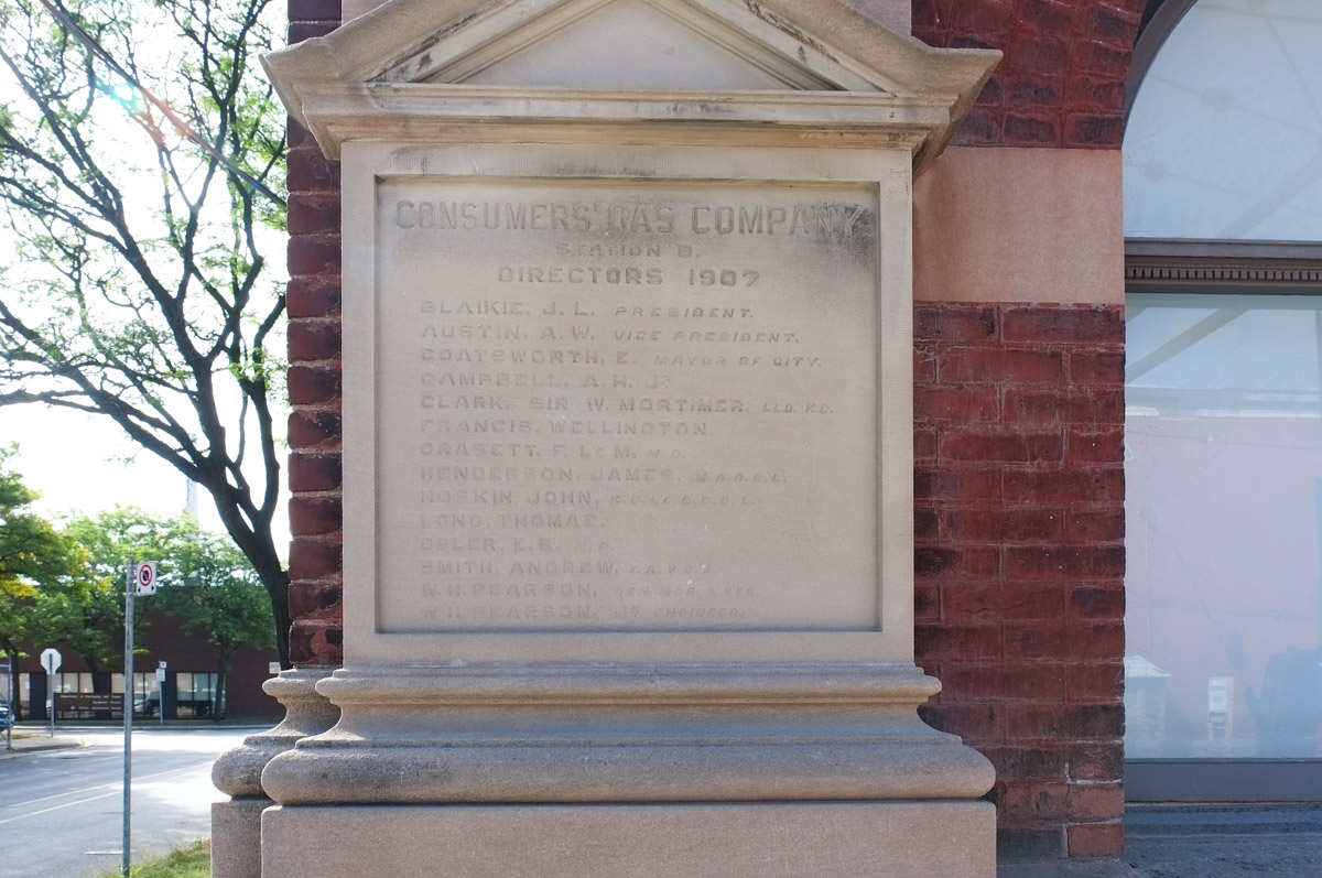
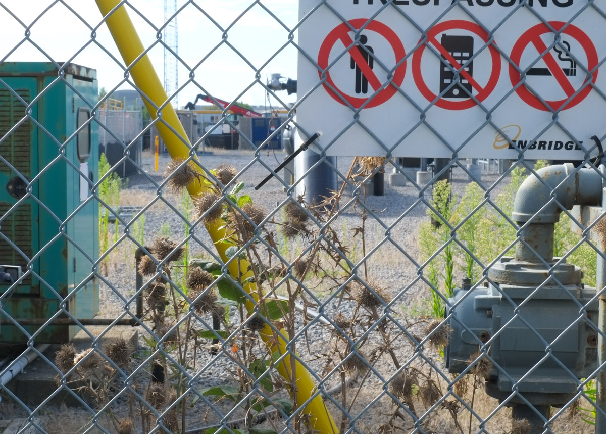
below: The former Consumers Gas Company (now part of Enbridge) has had a large presence on Eastern Avenue for many years. This stone on the exterior of the building names all the Consumers Gas directors in 1907 (presumably when the building was built?). J.L. Blaikie was the president and A.W. Austin was the vice-president. The mayor of the city, E. Coatsworth, was also a director. There was a Sir W. Mortimer Clark on the list and, to no one’s surprise, the other names were all very anglo.
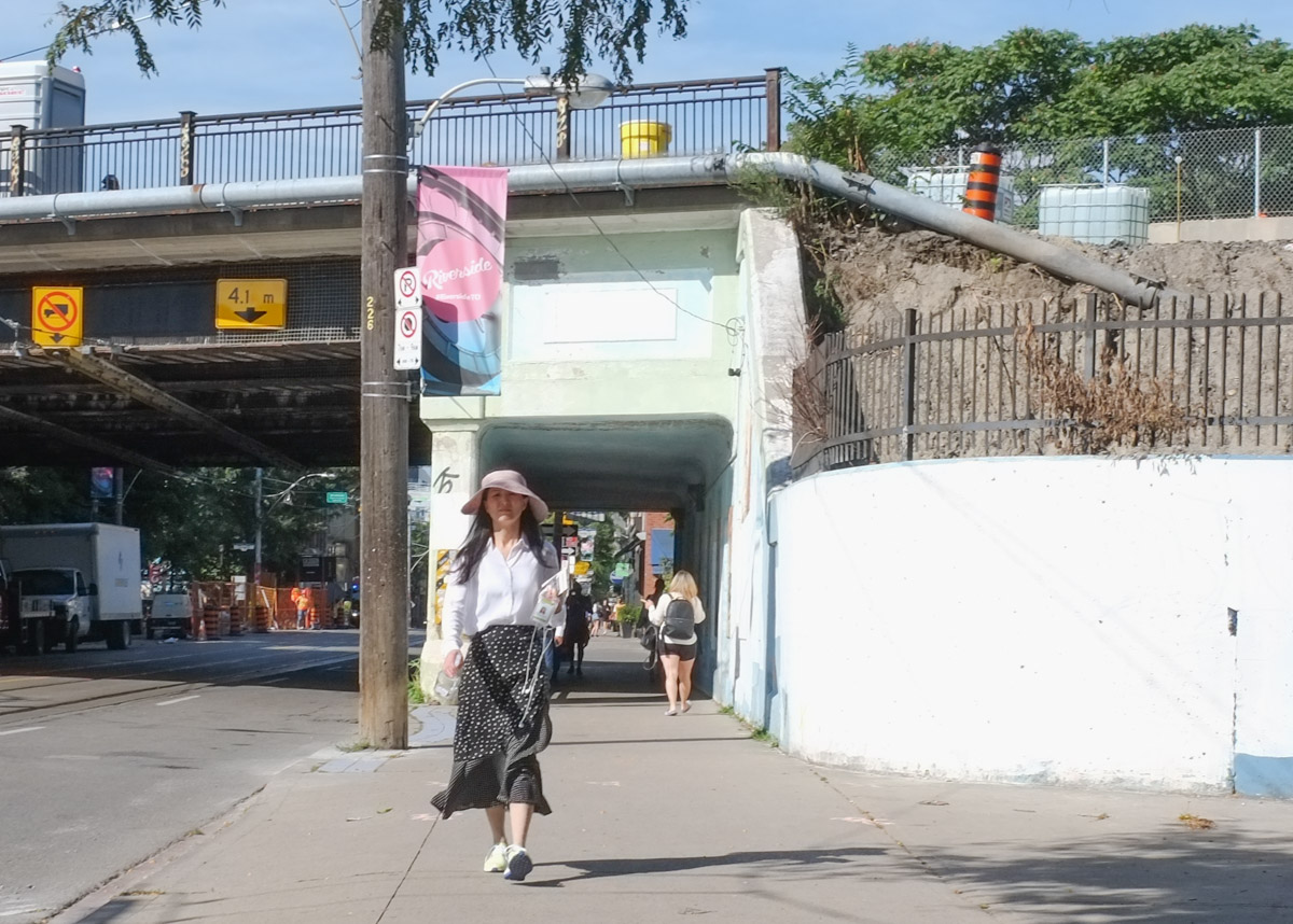
below: Queen West at the CNR tracks
below: Little red picket fence

below: Renovations
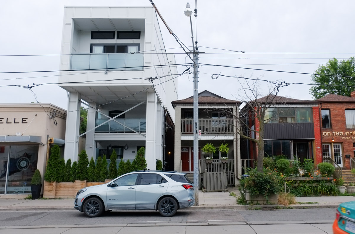

below: Note the many hydro meters all in a row – six units in what was once a single family home.
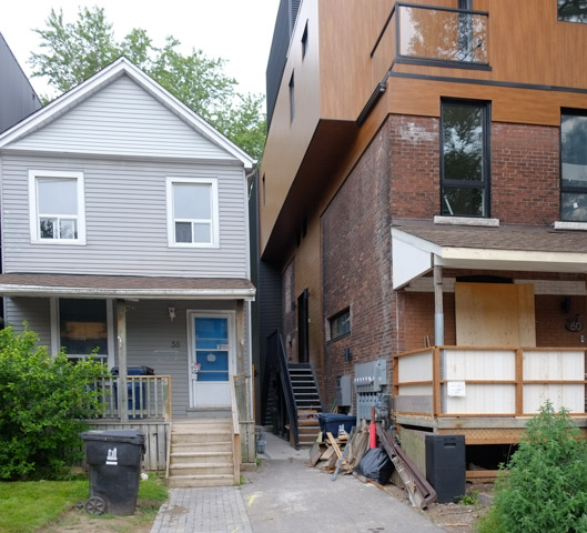
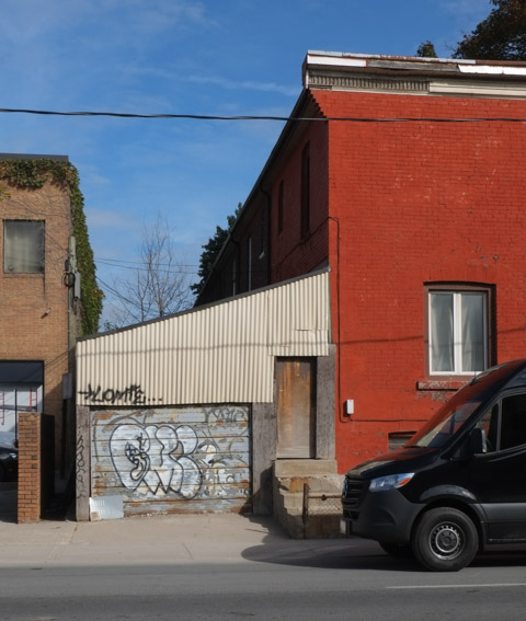
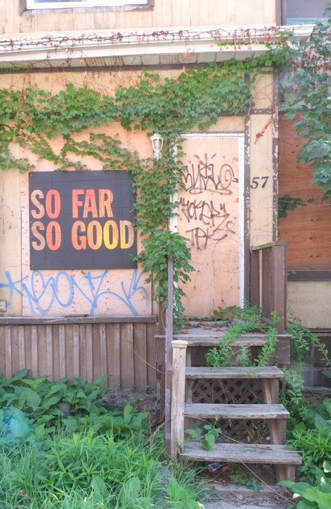
below: So far so good
below: Nice
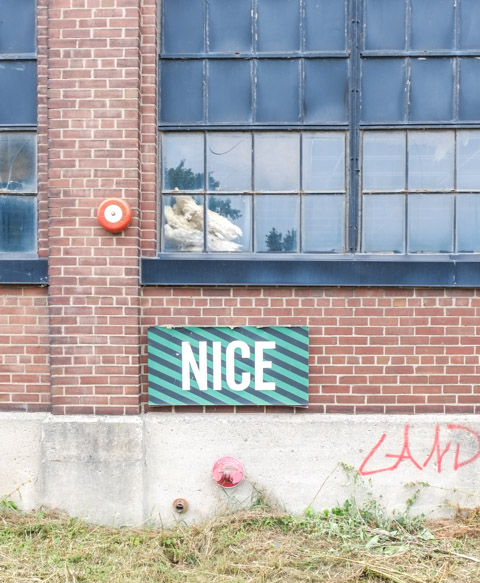
below: You never know what you will find written on the concrete.

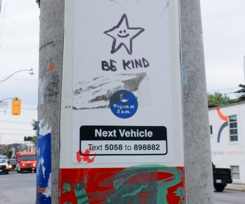
below: In memory of Karolina Huebner-Makurat who died on a Friday afternoon in August because she was in the wrong place at the wrong time. She was caught in the crossfire during an altercation outside a supervised injection site. Senseless. Horrible.
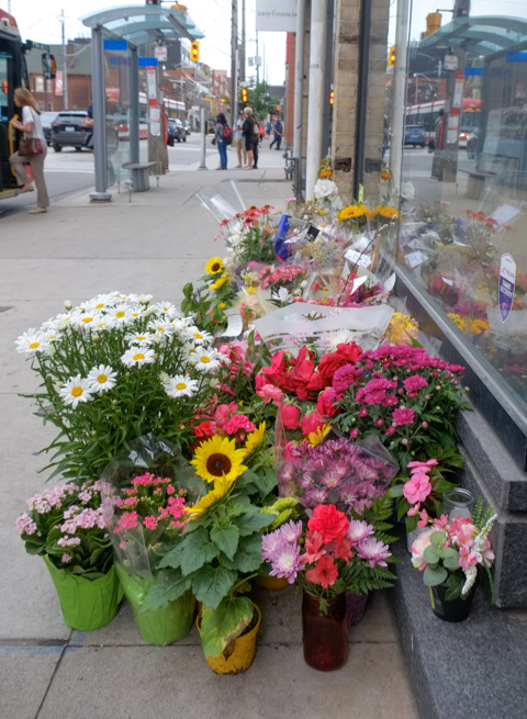
Stay safe.
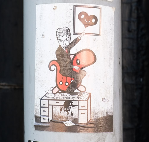
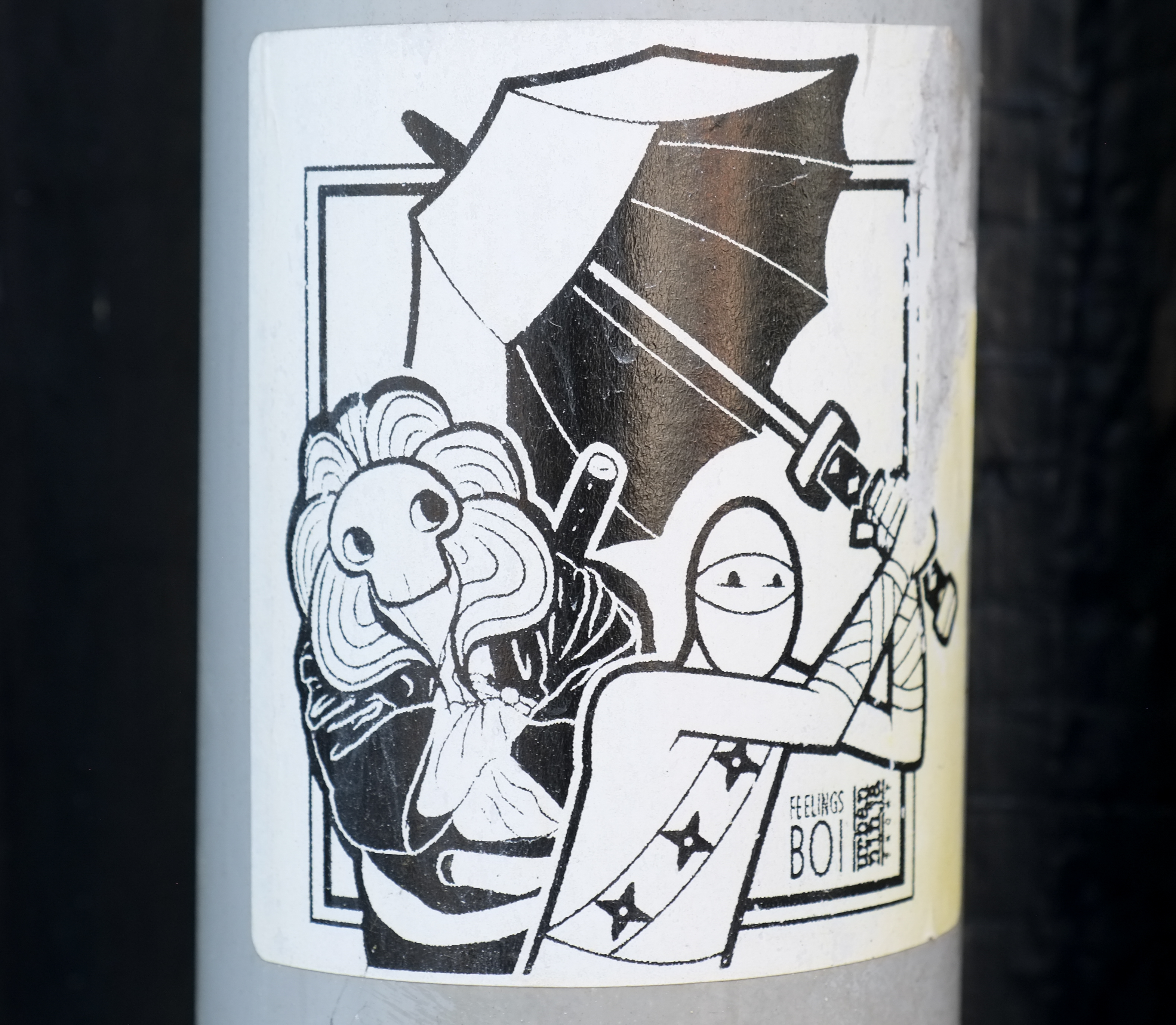
A group of stickers seen on a pole on Queen Street East recently
has an image from Catchoo combined with a perplexed Sailor dude from Ty Pro in the top place – what a cute balloon! At the bottom are three heads that you might recognize from previous posts. In pink is T-bonez from urban ninja squadron and the chosen few; on the right is a luchadore mask from bruho.

Here catchoo collaborates with c_priority (a k a Christopher Piccinich ) Even within the blacks of his suit there are little catchoo symbols and characters. I was hoping that there were secret messages written on the pieces of paper on the desk but there are just squiggly lines.
Last, feelings boi joins the fun. Is it a sword? or an umbrella? Whatever it is, there are smiles all round.
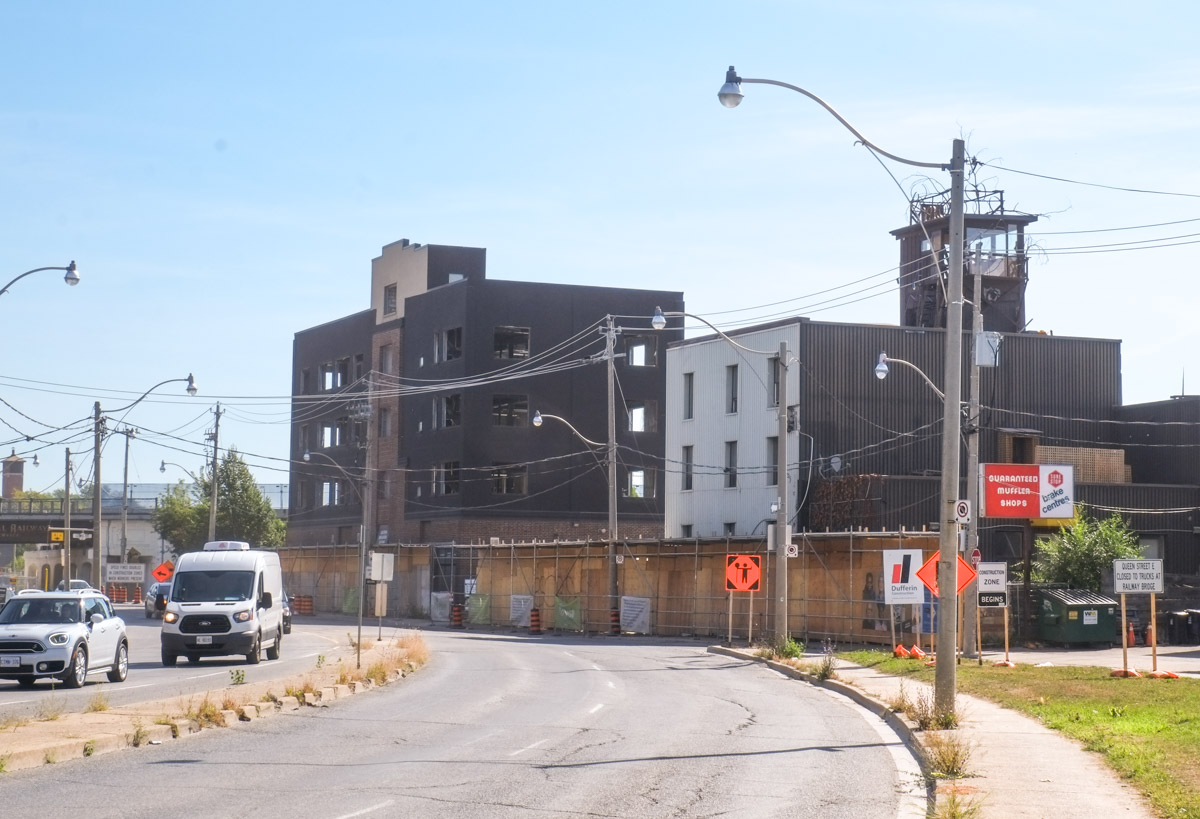
Traffic on Eastern Avenue near Broadview has faced construction and traffic delays over the past few months. The slow downs are ongoing as work on the railway bridge progresses. This work is because Metrolinx is adding tracks to make room for the new Ontario Line. Like many parts of the city, there are many changes occurring in the area.
Demolition on the north side of Eastern, and poof, gone, one large 5 storey Self Storage facility at 356 Eastern. Removed to make way for new tracks. The beige house faces Lewis Street.


… and now sitting gutted on the south side is another not old building (South side of Eastern Ave between Broadview and the railway tracks).

South side of Eastern, from another angle.
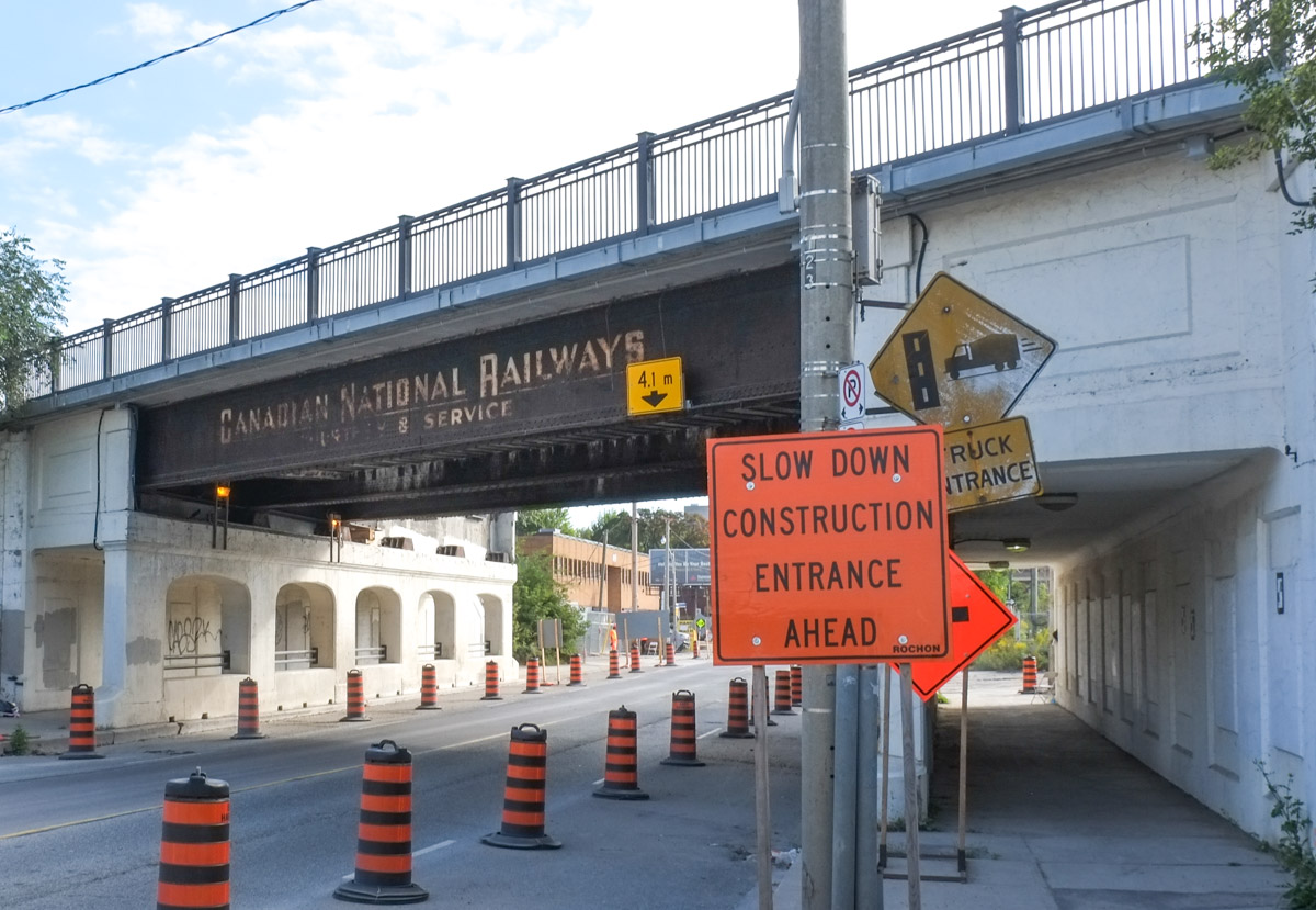
West side approach to the Canadian National Railway bridge

Along with the new railway line, Metrolinx is building what they are calling the East Harbour transit hub. This involves a new Ontario Line station as well as a new GO station on the Lakeshore East and Stouffville GO lines. Eventually, plans are to have TTC streetcars or LRT link here (it is directly south of Broadview and there is a plan to extend Broadview).
below: Construction along the railway line, south of Eastern Ave


below: One side (the east side) of the railway tracks has been demolished. Ultimately the whole bridge will be replaced but it is being done in stages to allow GO trains and VIA rail trains to continue running throughout the process.

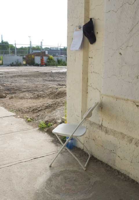
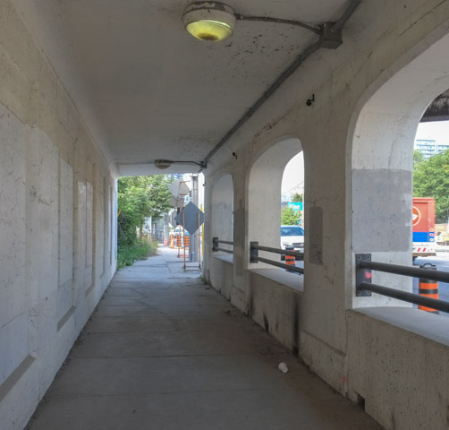
A constant flow of dump trucks back and forth, in and out, of the construction site south of Eastern (on both sides of the railway tracks). The 38 acre site that includes the old Lever Bros (Ponds, Sunlight etc) soap factory is being redeveloped at the same time – it extends south to Lakeshore and west to the Don River.


Looking west on Eastern Ave, back towards downtown.

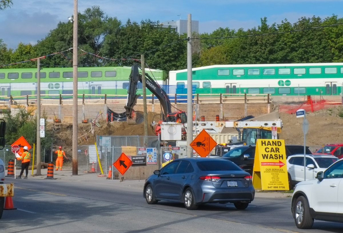

405 Eastern Ave, immediately east of the railway bridge, is also under construction. It has nothing to do with transportation as it is a new Enbridge building. A large 3 storey building with both offices and industrial (computers?) will probably be built here.
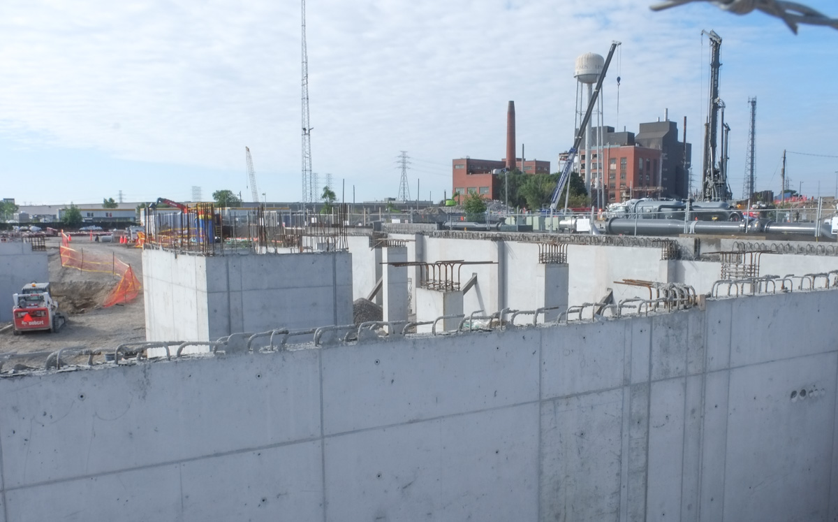
Makes sense, gas pipelines on site.
Just north of Eastern Ave, the railway tracks cross Queen St East., crossing over a bridge of the same style and vintage. Once upon a time this was a level crossing with a railway station on the northwest corner, the Riverdale station on the Grand Trunk Railway. This is soon to be the location of the Riverside Leslieville station on the not yet built Ontario Line.


So far the bridge is still intact but it too will be completely changed by the time Metrolinx is finished. The station itself will be on the bridge (if their drawings & plans are to be believed).
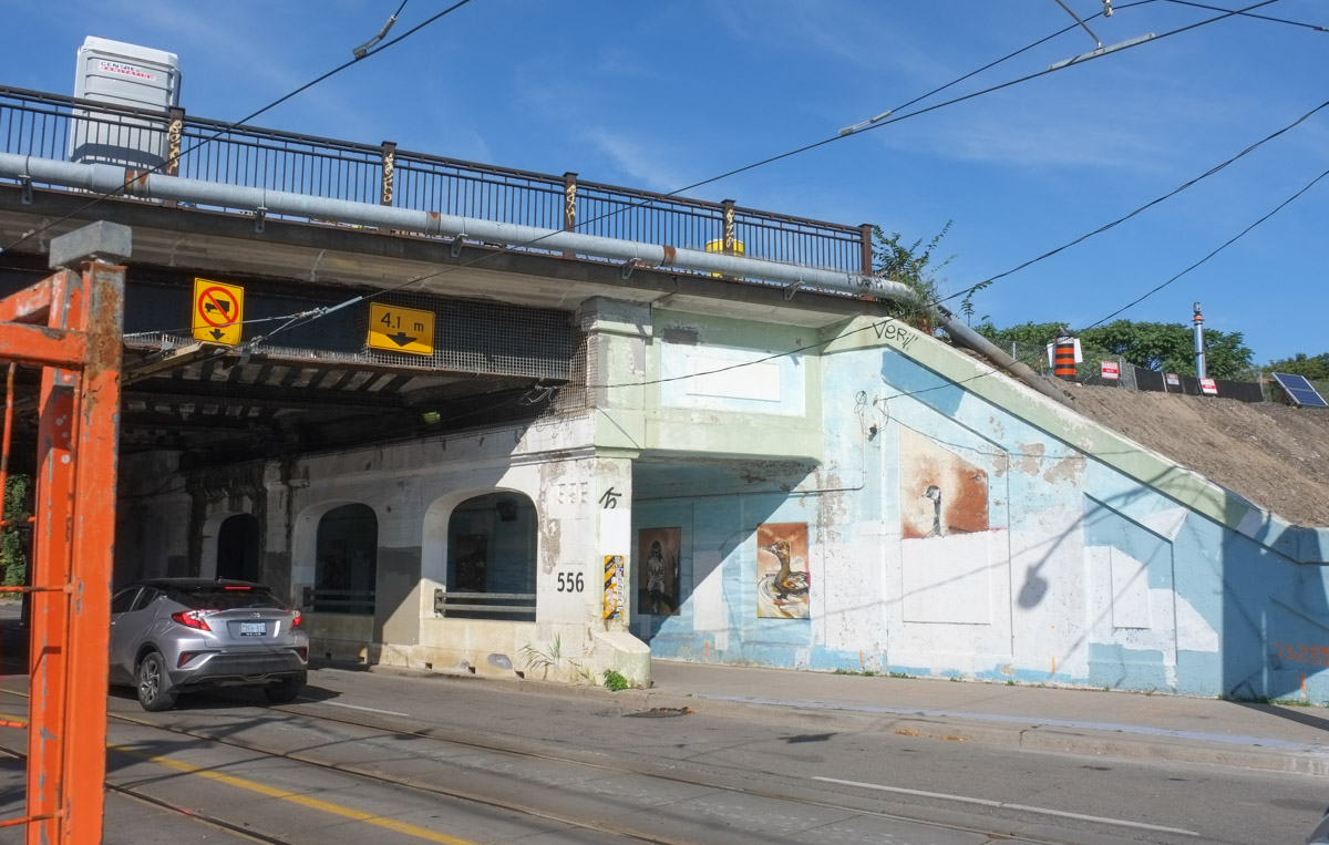
Here there will be 6 tracks – 4 for GO Transit and 2 for the Ontario Line.