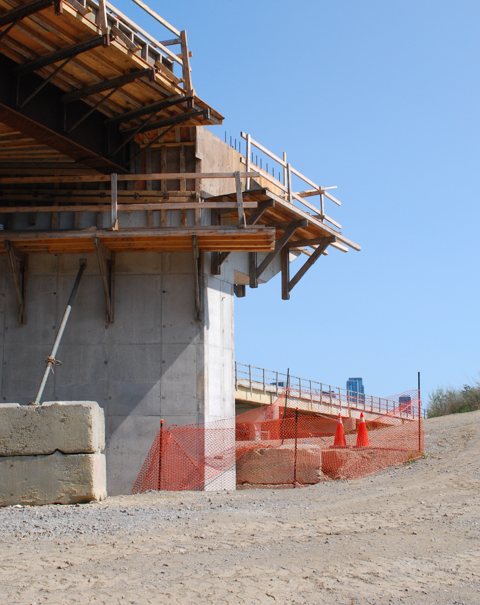
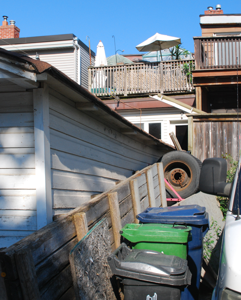
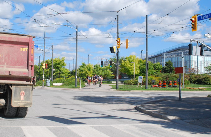
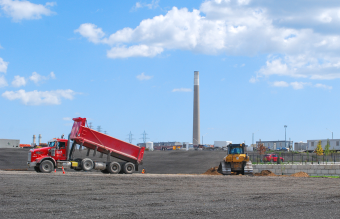
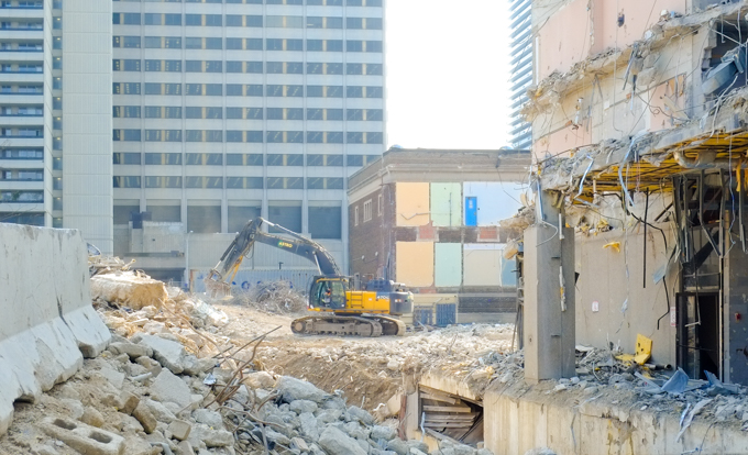
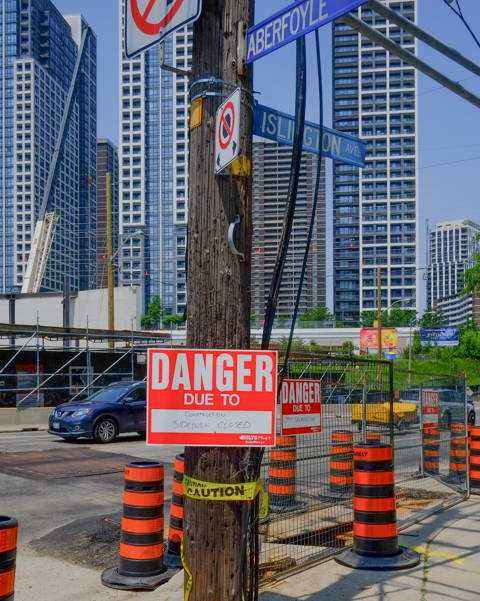
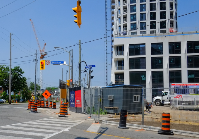
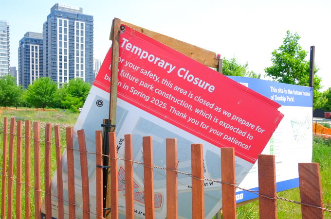
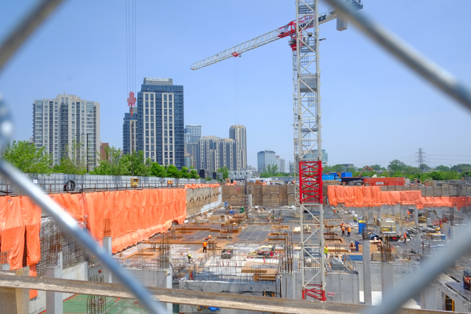
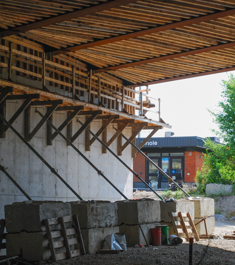
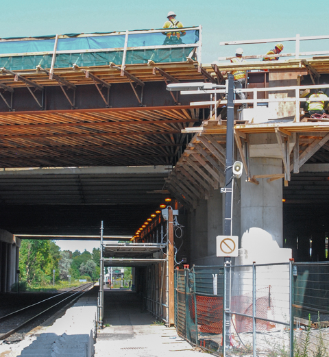
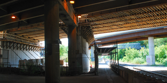
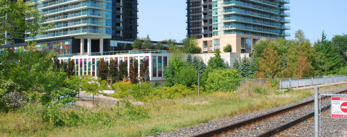
Oriole GO station is on the Richmond Hill line. It is located at Leslie and the 401 highway and for many years the parking lot for the station was under the 401. With the recent changes to the Leslie/401 interchange, and all the construction that that entails, this parking lot is gone. Also, the old station building is no longer in use and the platform has been moved slightly north. A new metal pedestrian bridge has been built over the tracks south of the station to replce an older wood structure – this provides access to the residential area to the south.
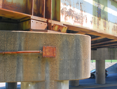
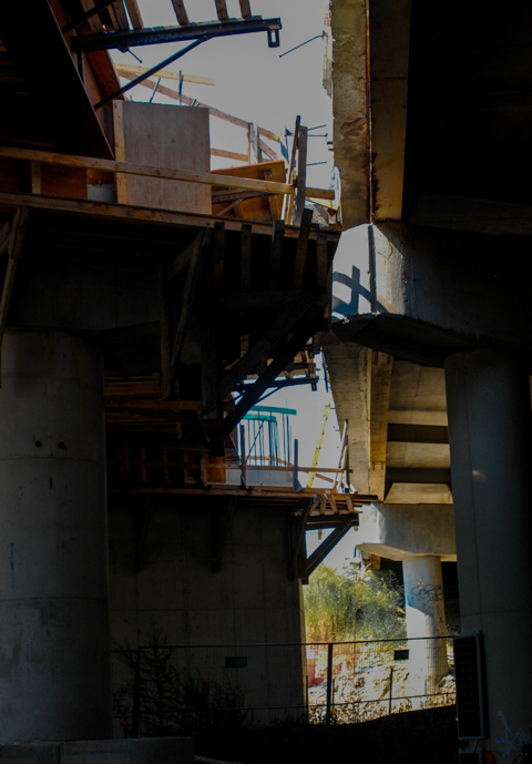
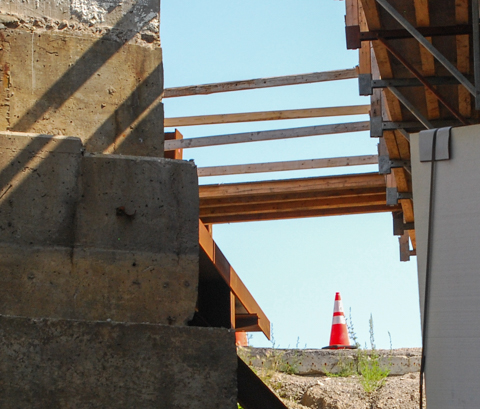
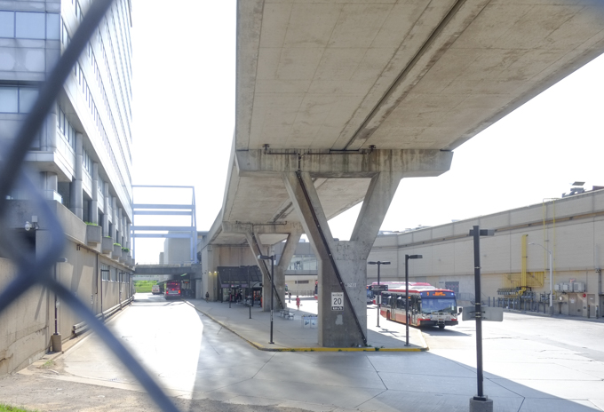
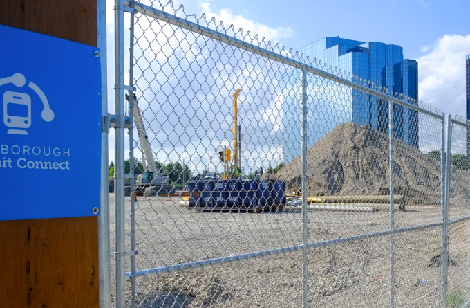
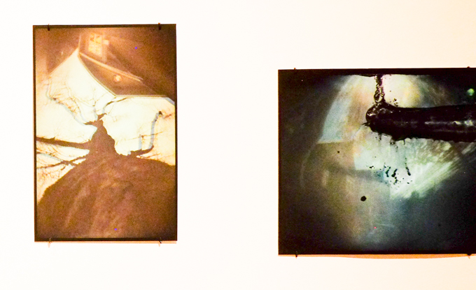
below: Under the 401 highway
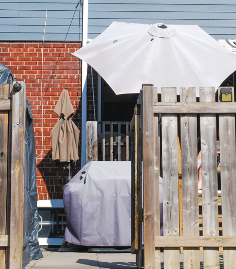
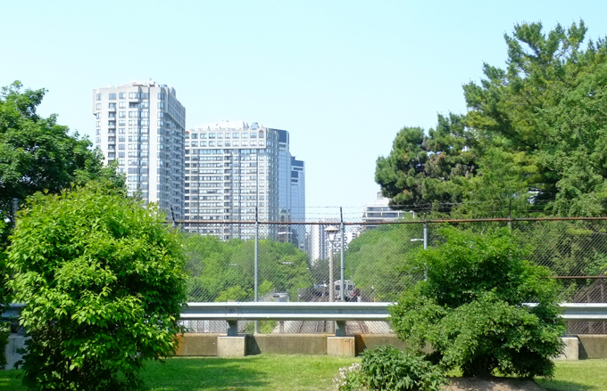
below: Access to Woodsworth park involves getting over the tracks via a new pedestrian bridge.

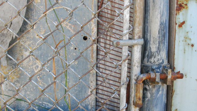
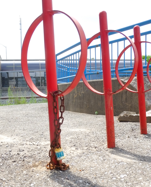
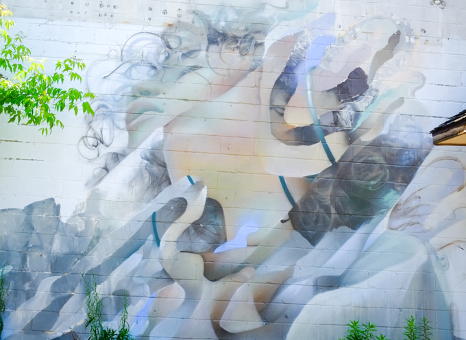
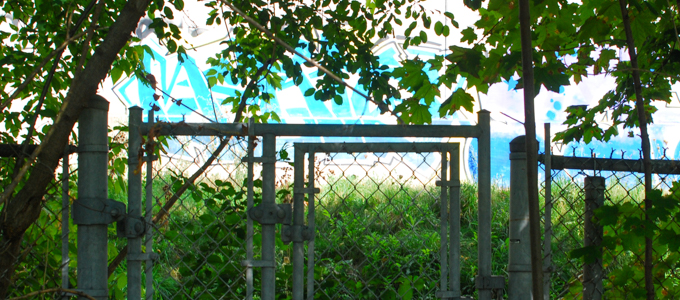
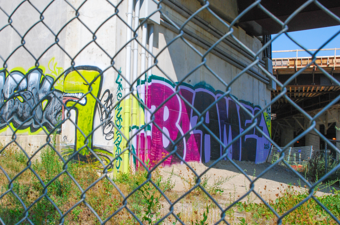
below: Caged!

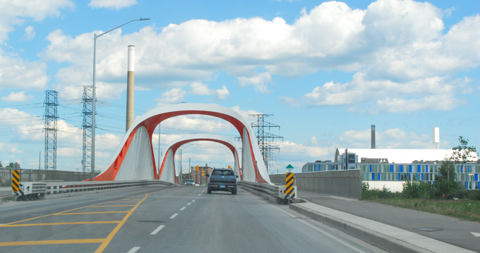
below: The bridge is high! The top of it is level with the traffic on the ramp between the eastbound 401 and Leslie Street. This is the view north and slightly west from the bridge.

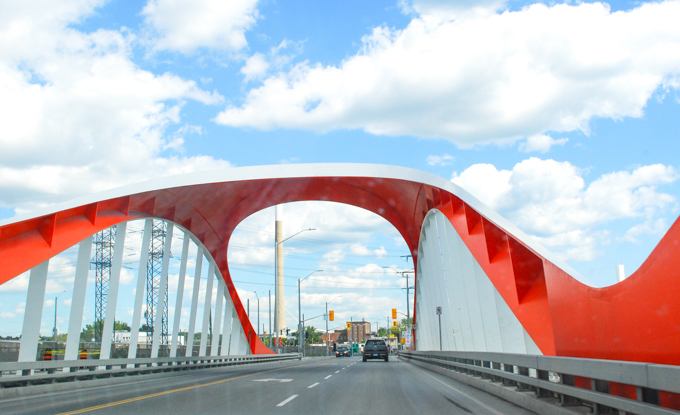
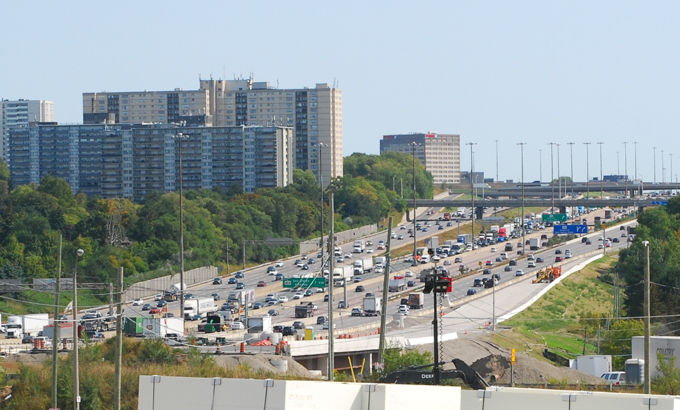
below: Another view from the bridge, this time looking northeast
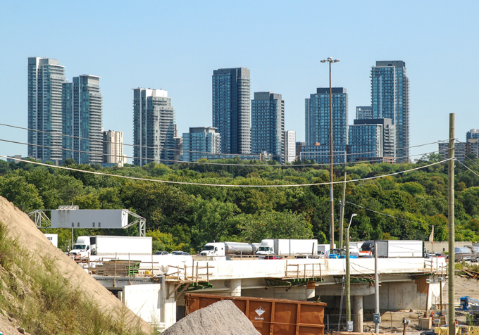
below: Looking east over all the lanes of the 401, including the new Leslie Street on-ramp on the south side.
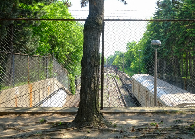
below: At track level

It was very quiet here. Oriole station is the first stop north of Union but trains only run during rush hours. There are four trains that run southbound in the morning and five trains for northbound trips in the afternoon. No trains stop here between 8:35 a.m. and 4:14 p.m. There don’t seem to be any stats online re the number of people who use this station.
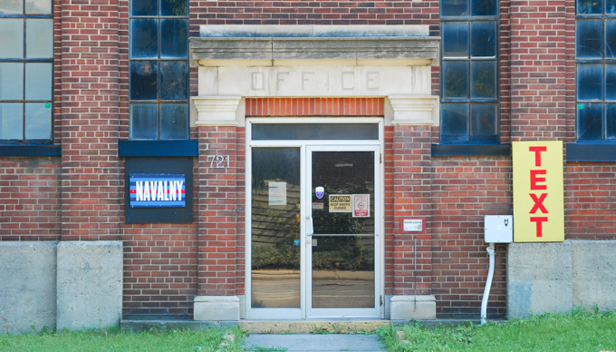
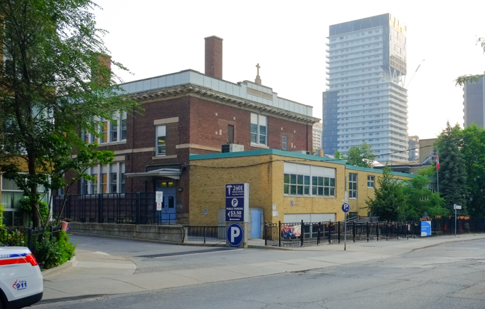
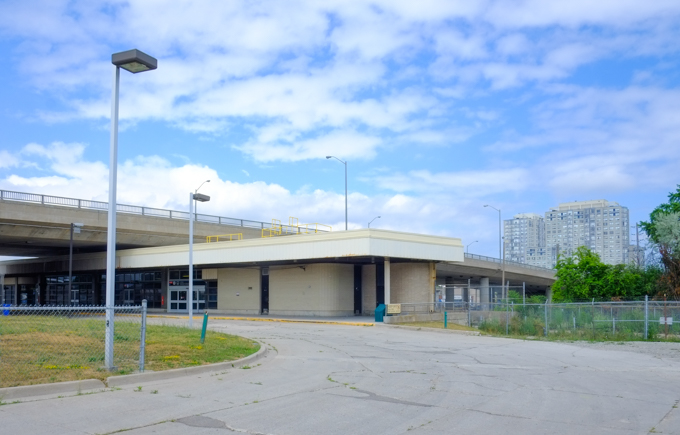
below: Old station building in the background that is no longer is use (i.e. there are no washroom facilities here at the moment).
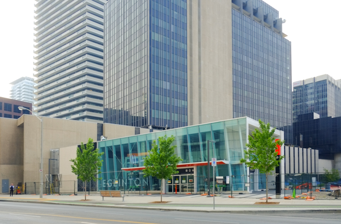
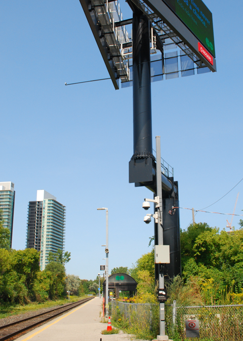
below: You may have seen this giant billboard if you have driven past on the 401. It stands beside the Oriole station platform. Recently, the platform was under under the 401 and therefore, protected from the rain. It has been moved slightly north to bring it closer to Leslie subway station (TTC)
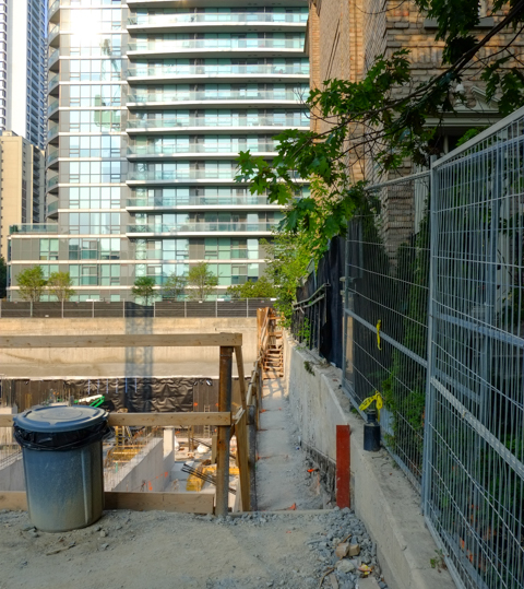
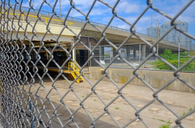
below: All pedestrian access to the old station as well as the parking lot has been closed.


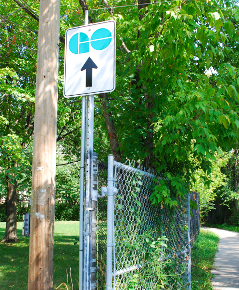
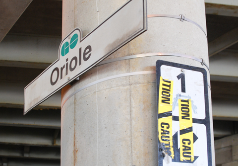
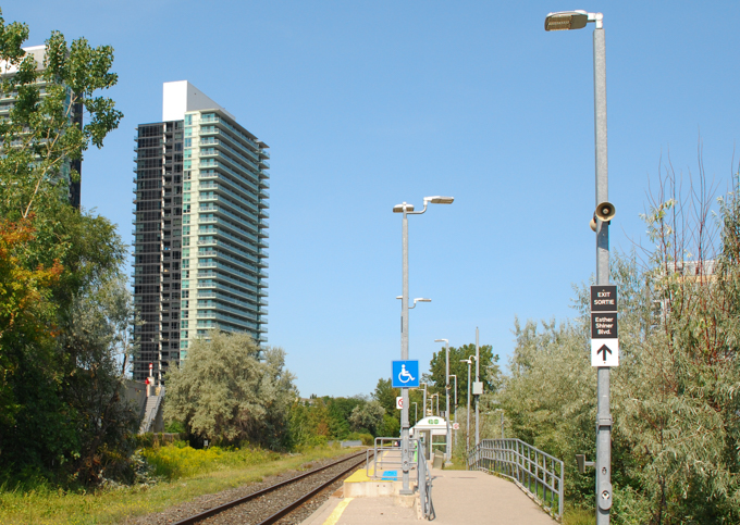
below: There is another entrance to the station at the north end where the tracks cross Esther Shiner Blvd. [extra note: Esther Shiner was a North York municipal politician who was first elected in 1972. She served as councilor, as well as a short stint as Deputy Mayor until her death in 1987.]
Not everybody walks to IKEA!

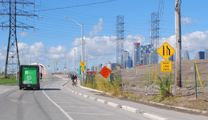
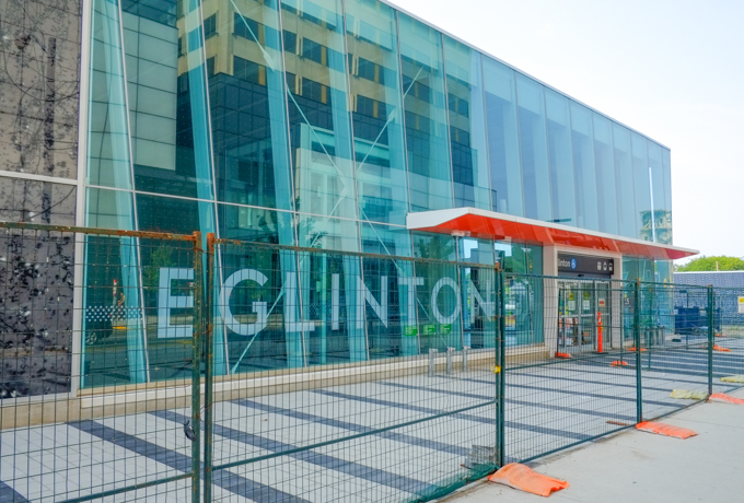
below: The tracks cross Esther Shiner Blvd, but the sidewalk doesn’t and all pedestrian traffic is routed to the south side. If you want to transfer to the TTC (Leslie station), there is a walk involved. It takes about 10 minutes I think.


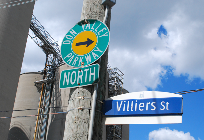
below: Turn left at Old Leslie if you are looking for the TTC subway. Straight through gets you to Leslie Street (at North York General Hospital, north of the 401 highway and south of Shepard).

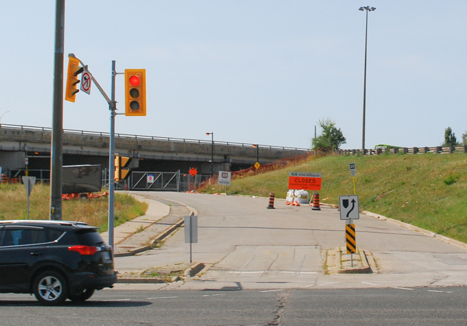
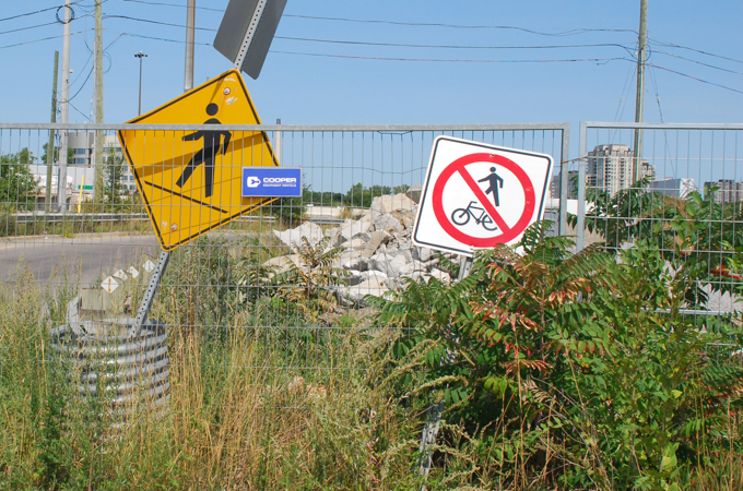
below: The signs still direct you to the GO station via under the 401….
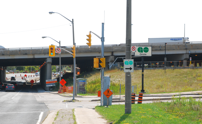
below: …. but the road is actually closed to traffic.

below: Looking northwest across Leslie, south of the 401 (towards Yonge & Shepard).
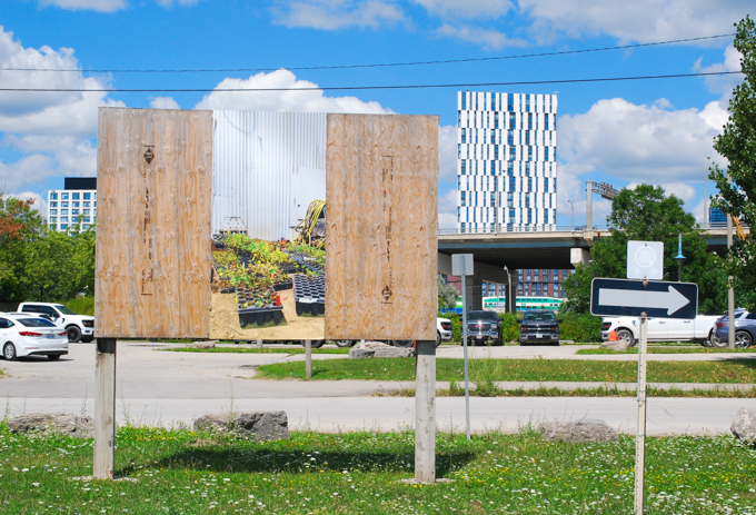
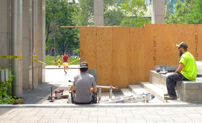
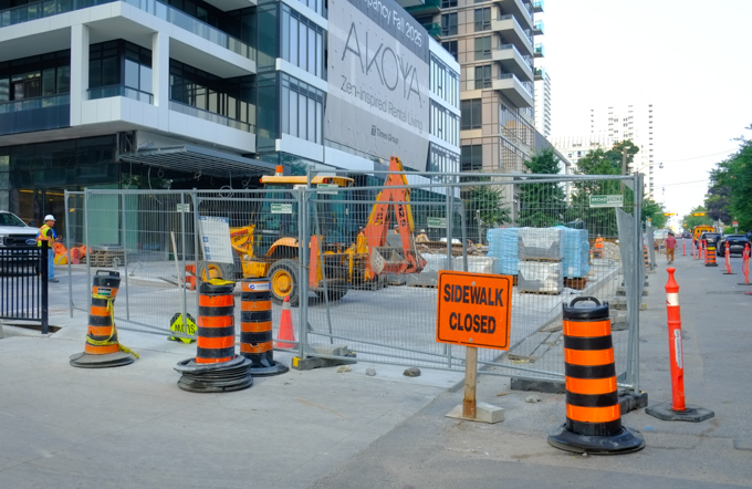
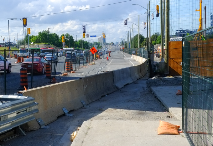
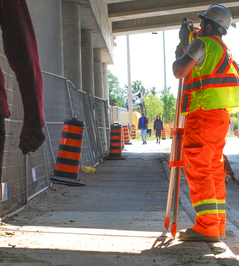
below: Making sidewalks.
![]()

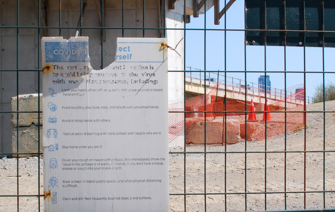
below: Old and faded, rules and regulations for prevention of the spread of COVID-19