A short walk between two subway stations….
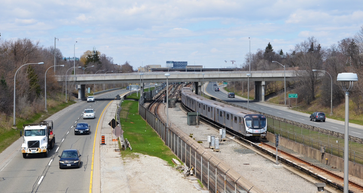
below: Westbound subway enters Keele station.

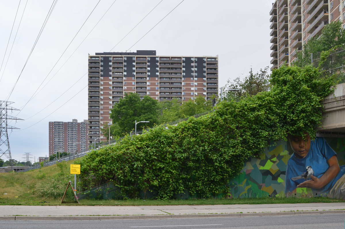
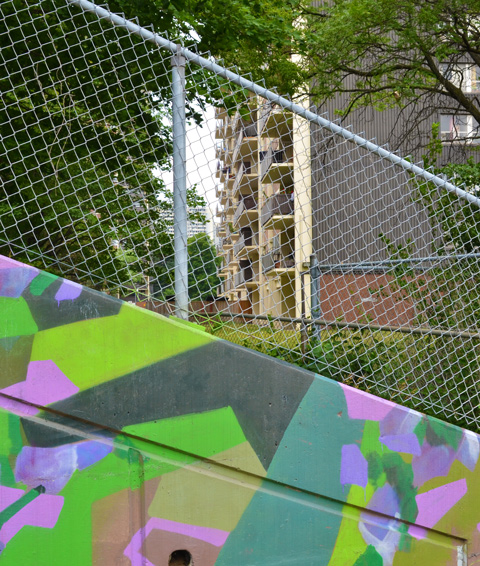
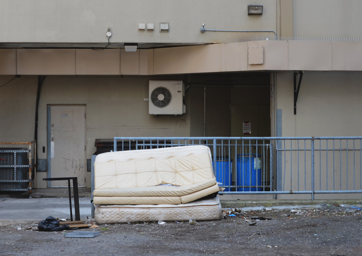
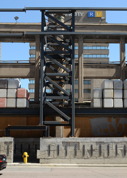
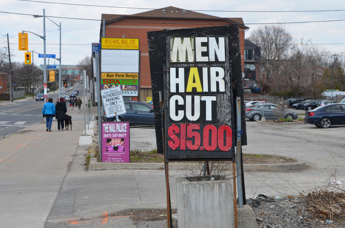
below: A view to the east of Keele subway station where the tracks are elevated and there is a large parking lot underneath (free parking on the weekend!).
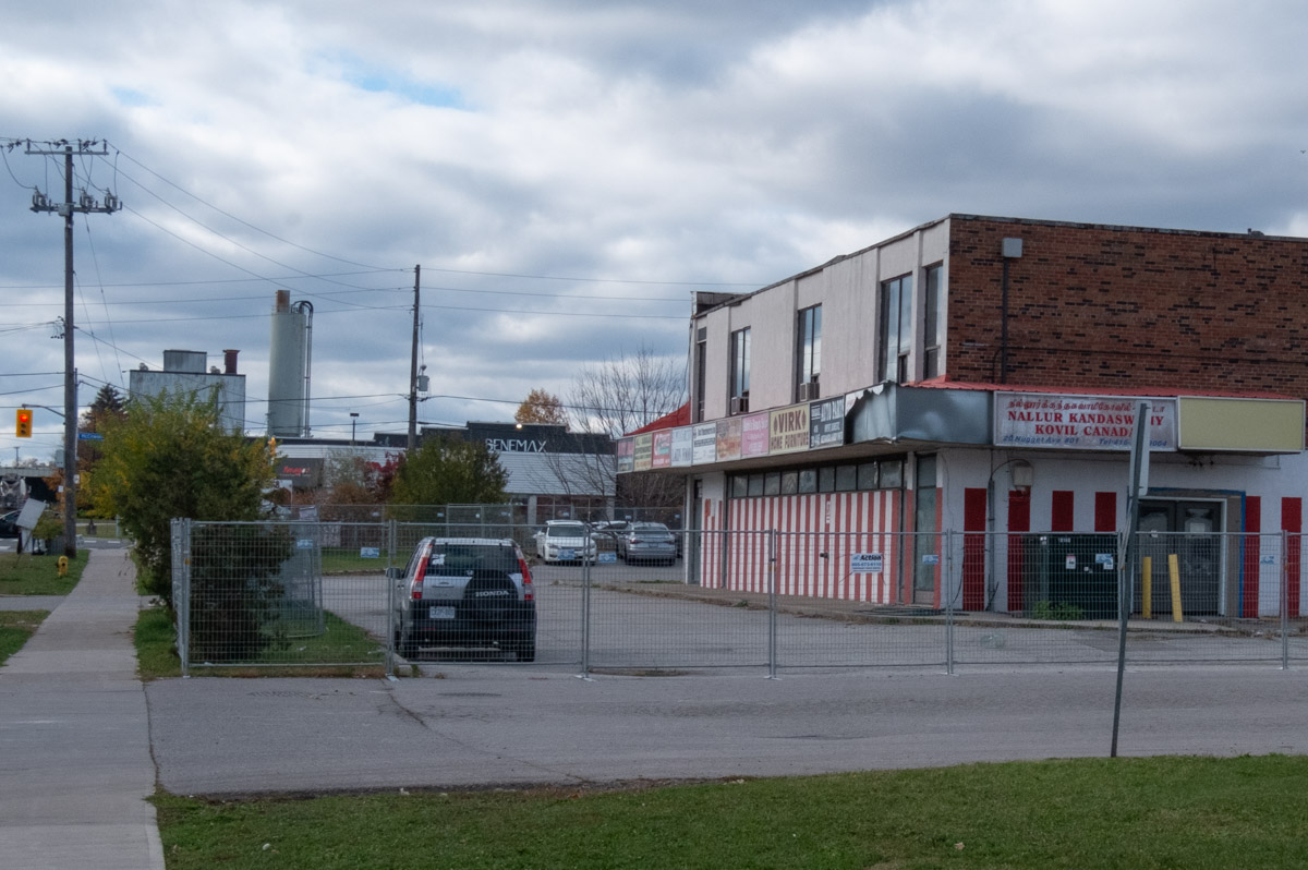
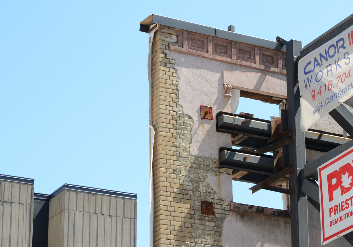
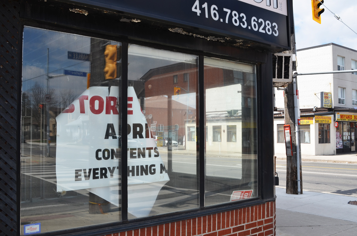
below: Some of the buildings that formed the north wall of the parking lot beside Keele station are no longer all there. Only one of the buildings remains.
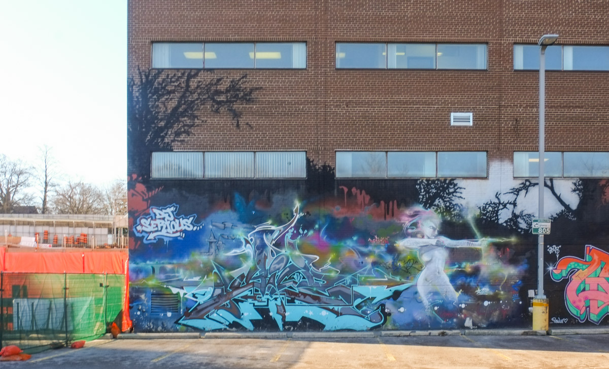
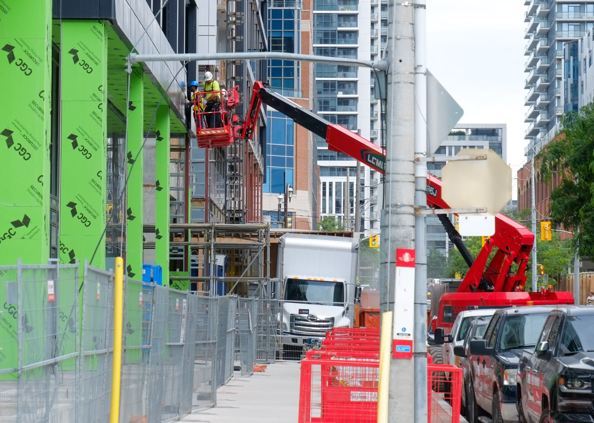
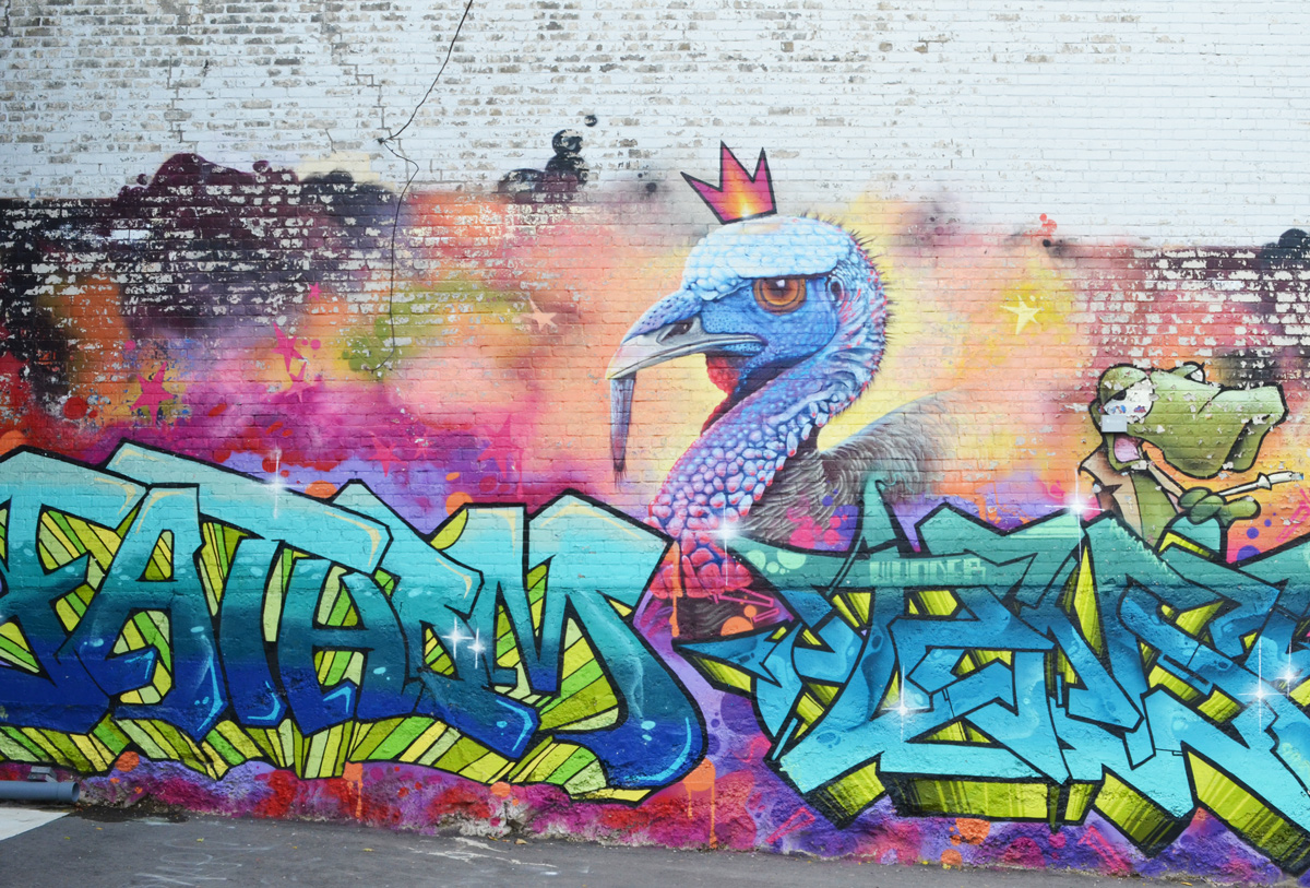
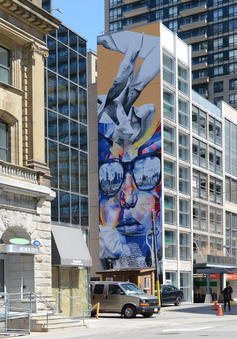
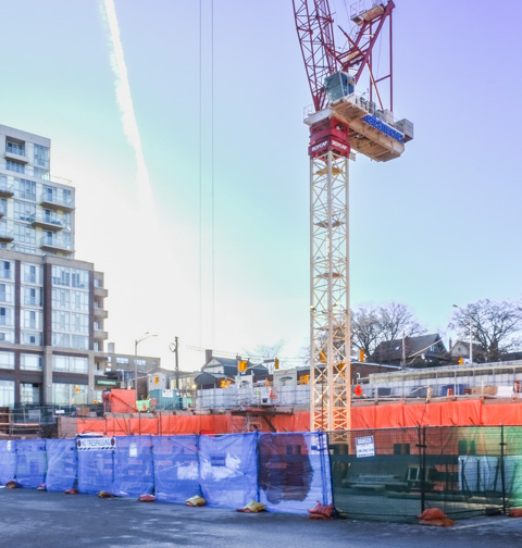
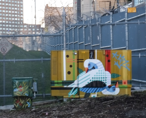
below: The demolished buildings were covered with street art including a mural featuring King Midas. Where he used to be there is now a tall crane above and a large hole below. Increasing density at transit stops is a good idea but this is yet another square box in glass and steel with bland and nondescript street level “appeal”. I am not sure if it is the developers or the city planning office that is responsible for the lack of imagination and/or variety at street level; that requires more research and another blog post.
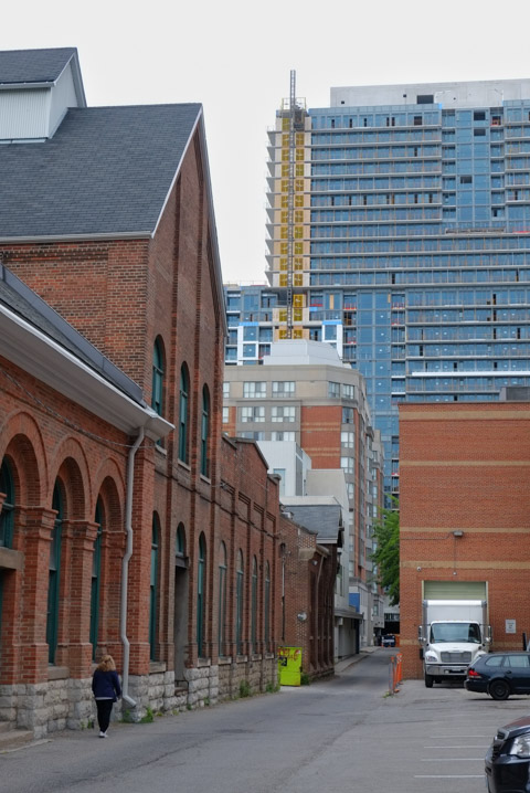
below: When buildings come down, others are revealed. Angles briefly open up. Obviously (now) LMP, JETR, TEMPO and friends were here.

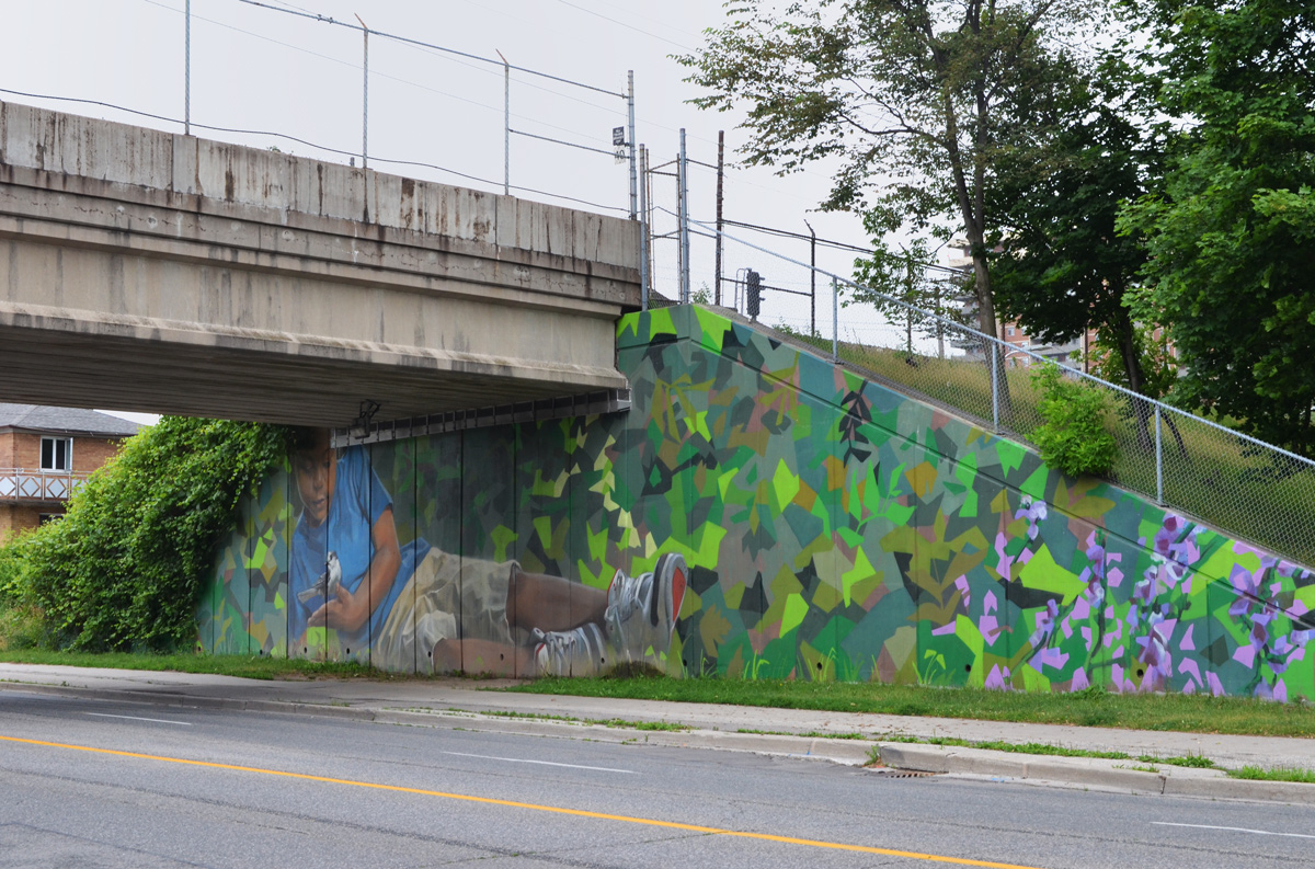
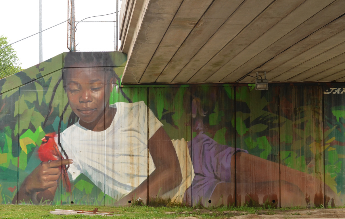
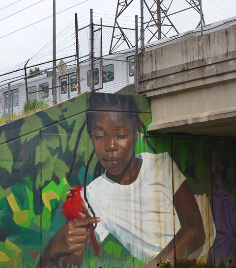
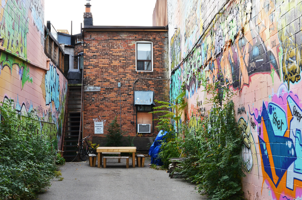
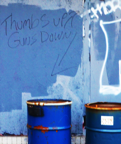
below: Running behind the south side of Bloor is this alley There has been street art here for years.

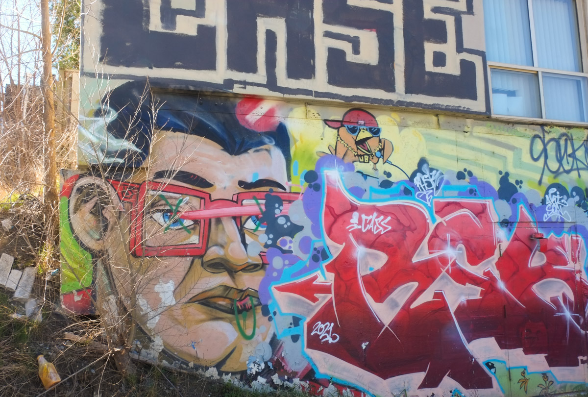
below: Some of that street art, like this Uber5000 painting, remain intact. Lucky yellow birds! It’s also nice to see an old Lovebot (upper left corner).

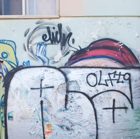
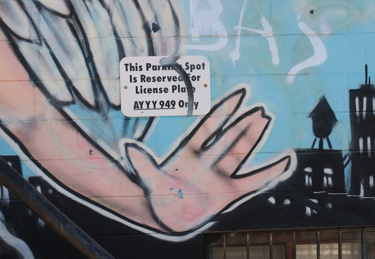
below: Others haven’t fared so well – A waving hand and the top of a red cap are all that remain of this Elicser Elliott piece. I doubt that the fat white letters are an improvement but that’s the way it goes.
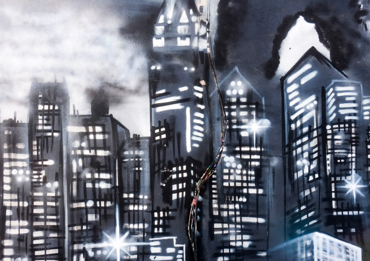
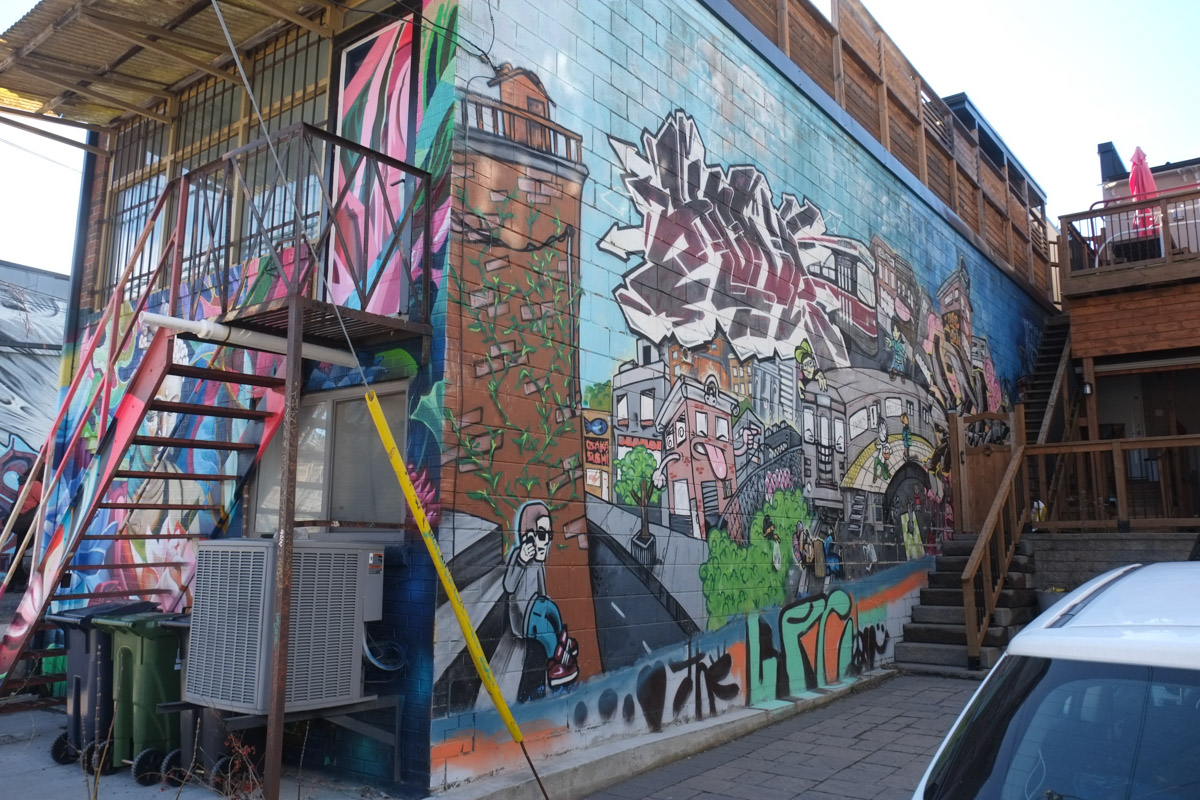
below: An urban night scene. King Kong once stood over it.
below: Someone has hung this little framed picture on an exterior wall. I think that it is an image of a flower or plant of some sort.

below: Another Uber5000 work with a yellow birdie in a red cap.
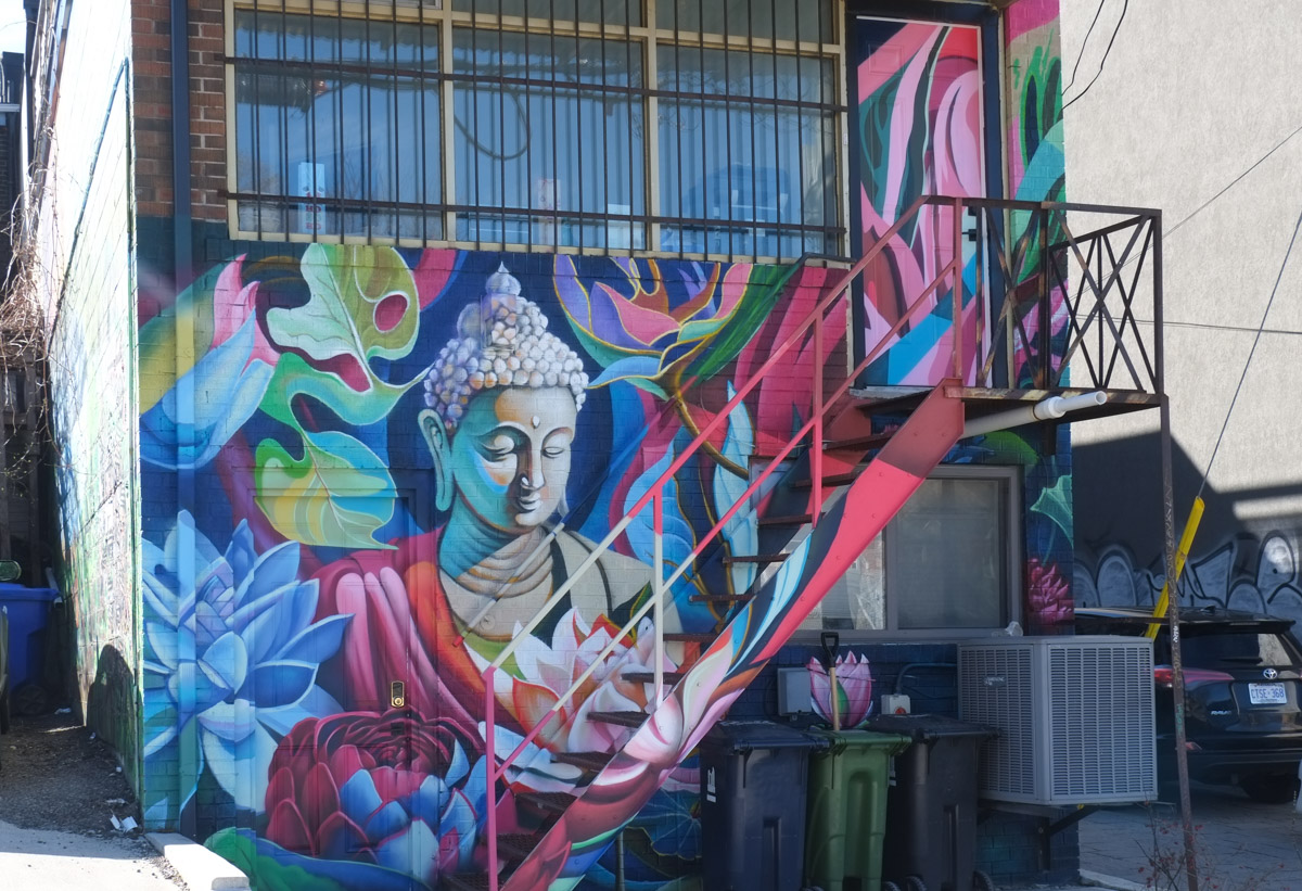
below: A Buddha prays among the lotus flowers and leaves.
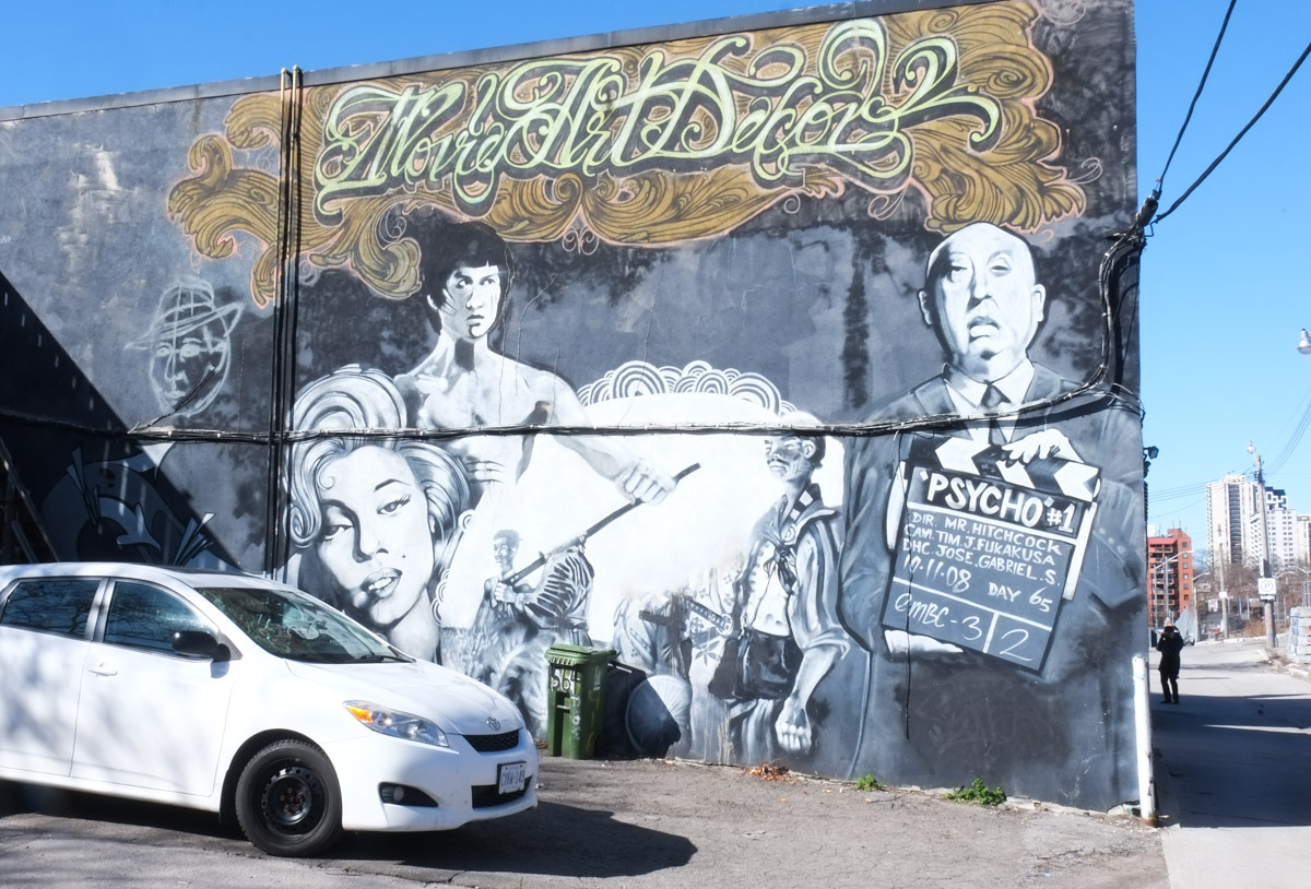
below: Another mural that has been left untouched is Movie Art Decor featuring Alfred Hitchcock directing ‘Psycho’ along with Marilyn Monroe and a topless Bruce Lee.
below: It looks a bit like a big white shark is coming after us.

below: Stop!
below: Remembering 1995.

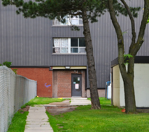
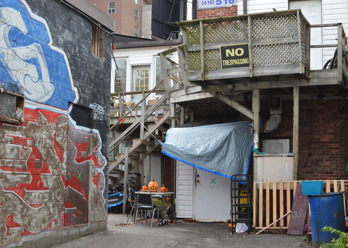
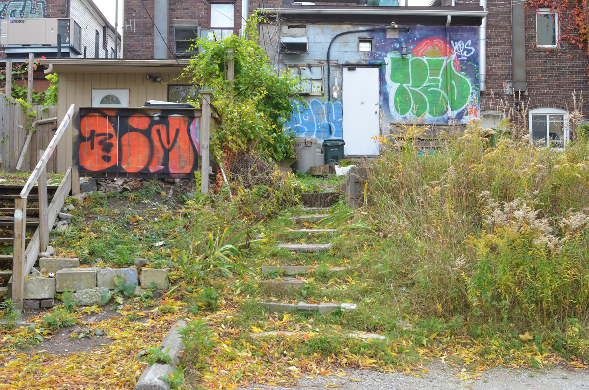
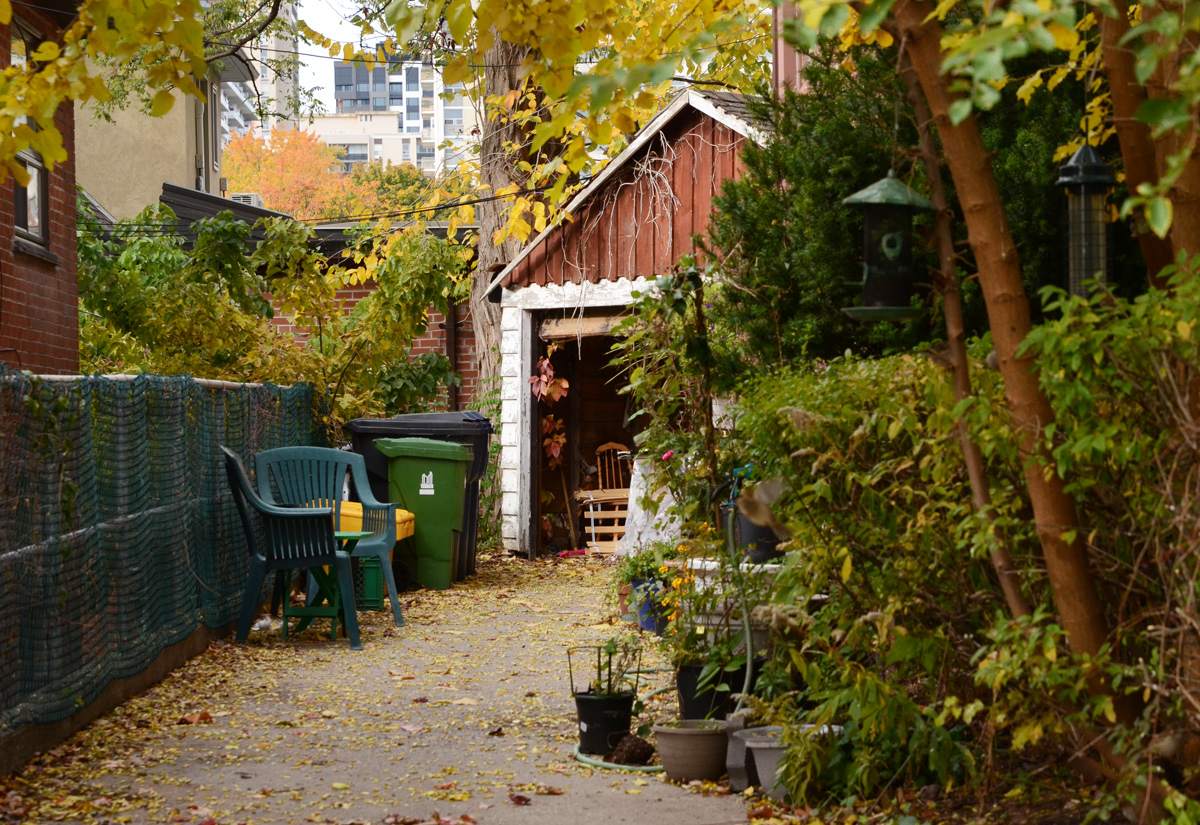
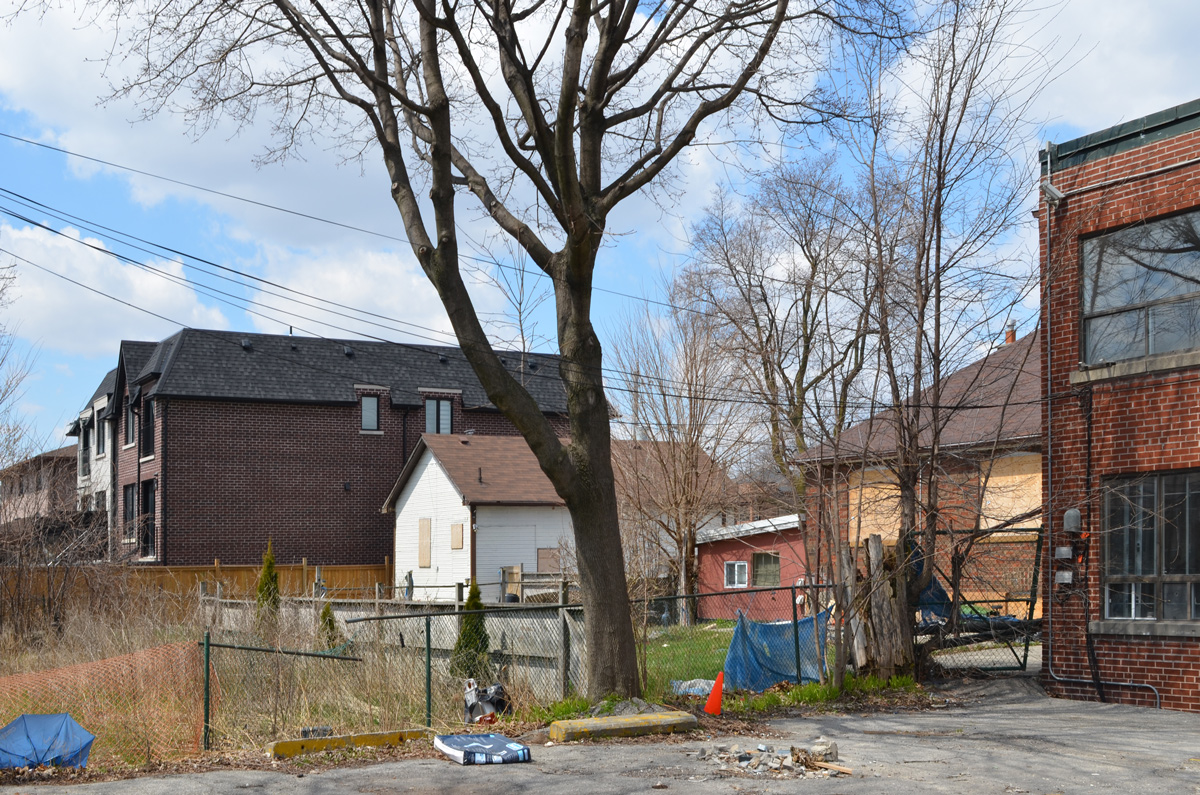
below: Sunny backyard spaces

below: More backyard spaces.

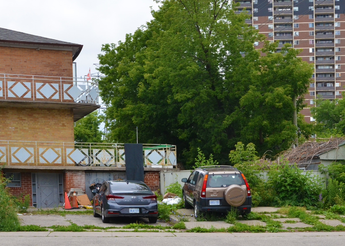
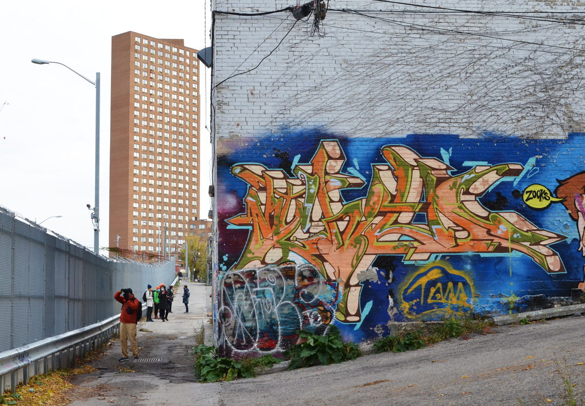
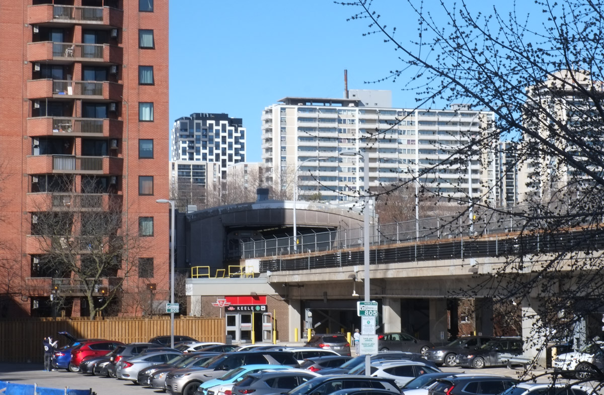
below: Looking west towards Keele Station – alley, subway tracks, and a few highrises.

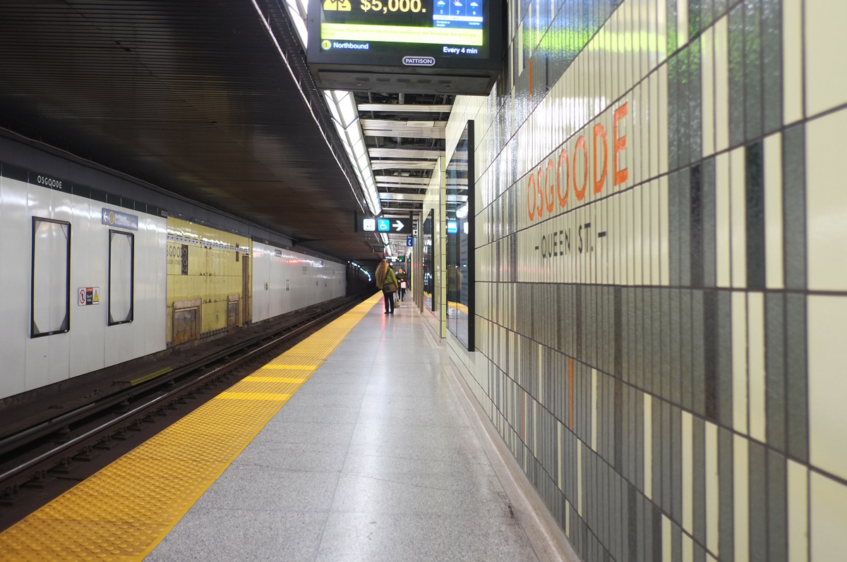
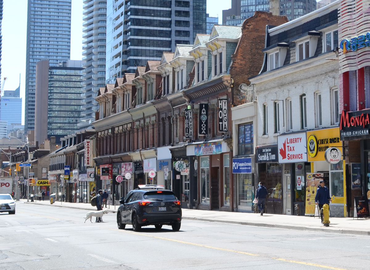
below: Waiting at Dundas West Station

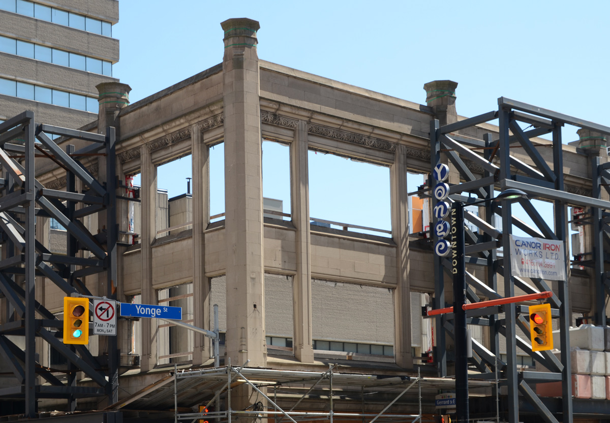
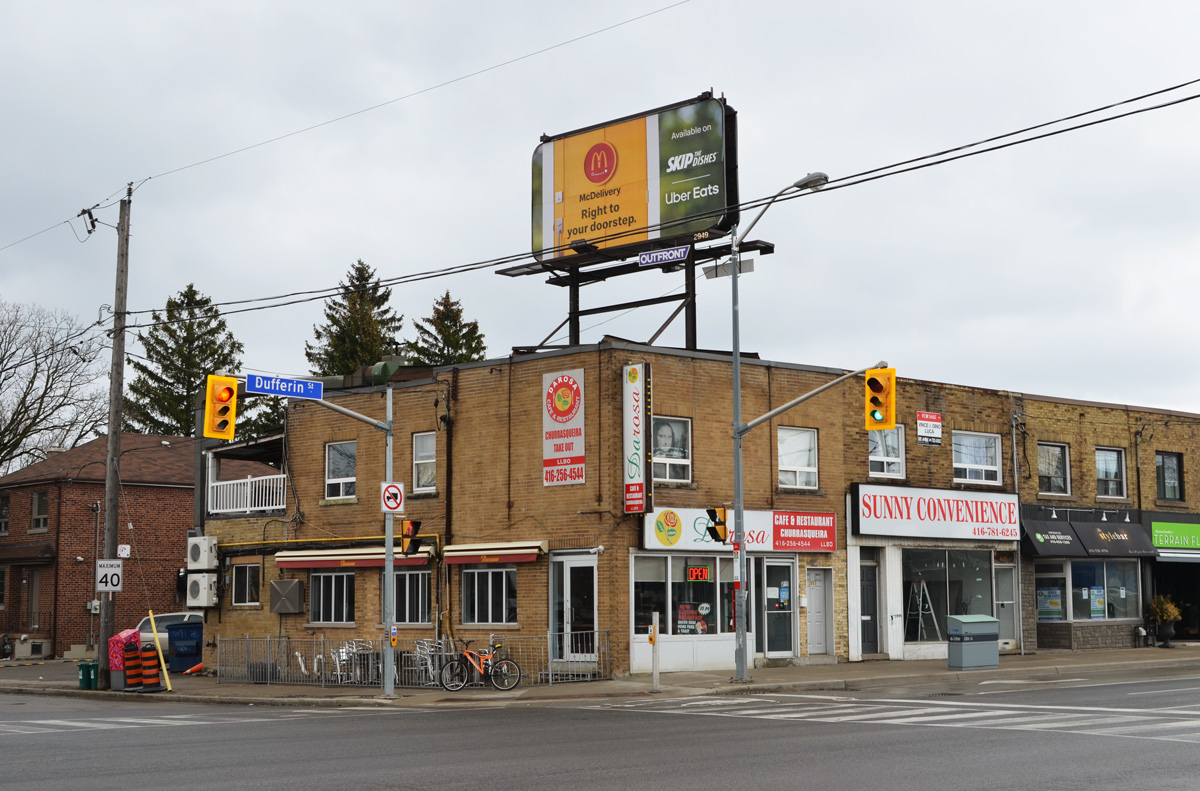
Dundas West station is at Dundas and Bloor. Also on this corner is the Giraffe Building. Many years ago (2007?) this property was bought by a developer who wanted to build the Giraffe Condos, a 27 storey project. To promote the condo development, the typical two storey stores that were there became the Giraffe building that we have now. But the city rejected that proposal saying that the structure was too high and the site seems to have been in limbo ever since. It has changed hands a number of times.

In 2018 the site, along with one or two adjacent properties was purchased by a partnership between two companies, Trinity & Timbercreek. Lo and behold, a 27 storey condo with 354 units was proposed and this time accepted. Back to square one? But that isn’t the end of the story… In January the site was back on the market. It looks like not much is going to change for a while yet.
below: Northwest corner of Dundas and Bloor with a streetcar covered in a lipstick advertisement.


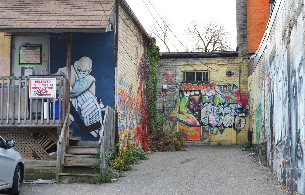
below: Graffiti break dancer behind the Giraffe building

below: Sarah has claimed the cat in the doorway. Cool hat.

below: A green laser beam from a fiery eye? A burning tall skinny structure (like the CN Tower)?

below: That’s a strange way to open a door.

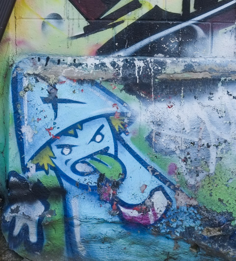
below: A miserable little impish guy with an oversized green tongue.
If you are interested in the street art in the alley above, there is a blog post from 2015 titled ‘old friends’ that shows more pictures (from 9 years ago!). You can get a better idea of what has changed and what hasn’t. King Midas is there too.