Archive for the ‘intersections’ Category

This has become one of the more forlorn corners in the city – the northeast corner of Eglinton and Vic Park.   I am not sure what the structure was originally used for or what it looked like back in the day.  Now it just stands there, perhaps in limbo like the Eglinton LRT that it sits next to.

concrete and glass rectangular structure beside a large empty parking lot

There is another one at the other end of the Golden Mile Mall (one block east at Pharmacy & Eglinton).  Brutalistic and ugly.
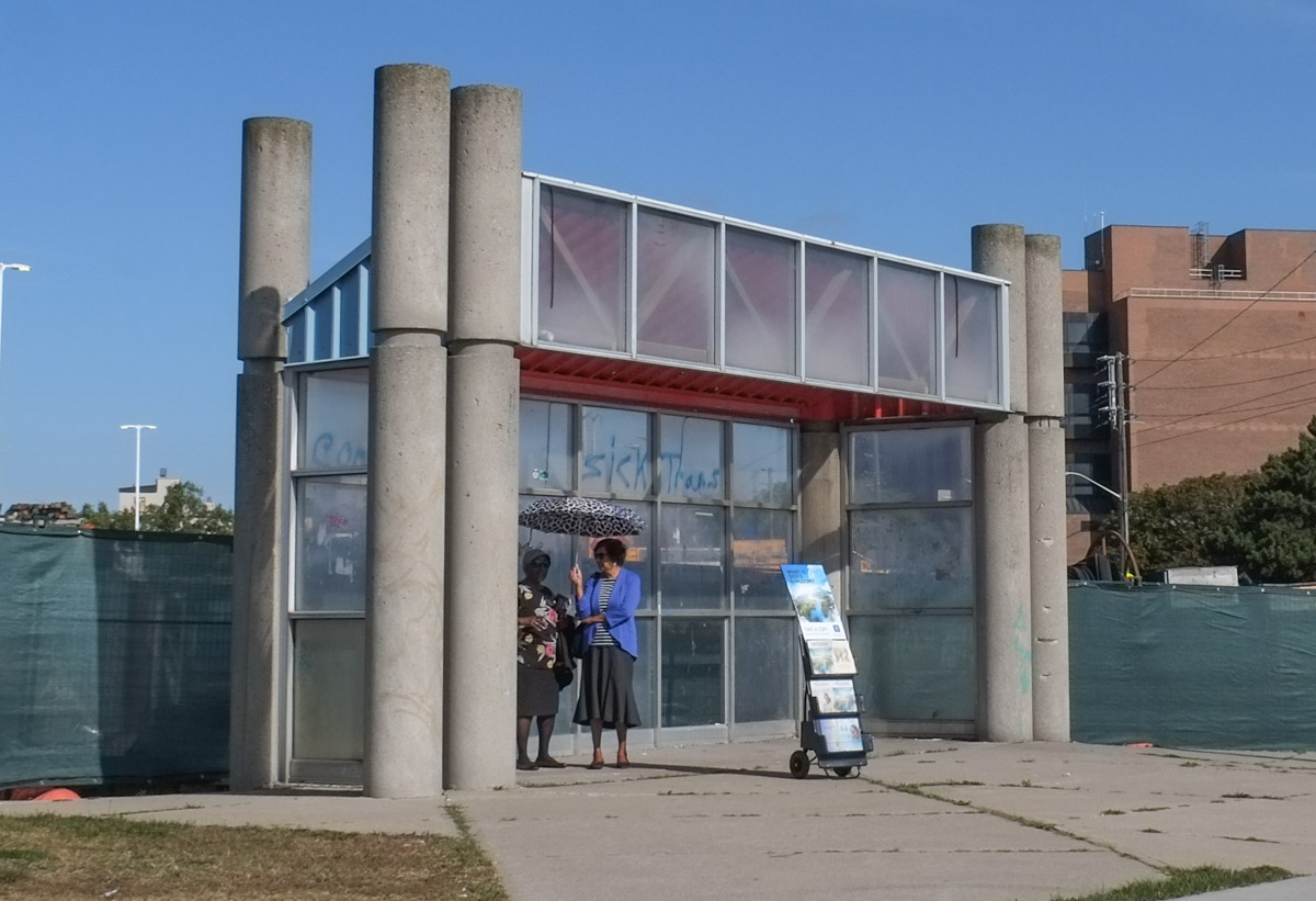
two women with an umbrella on a sunny day, under a concrete and glass structure

The Golden Mile Mall opened in 1954.  And even Queen Elizabeth II visited it (in 1959).

below: Golden Mile Mall parking lot today.  The mall (or plaza) has a No Frills and a Joe Fresh, both of which are part of Loblaws.  In fact, Choice Properties REIT (also Loblaws) owns the 19 acre site and has plans to redevelop it into a mixed use site.   The site runs north of Eglinton from Victoria Park to Pharmacy.  It’s early in the process so anything can happen but if you are interested, the site plan is a downloadable pdf
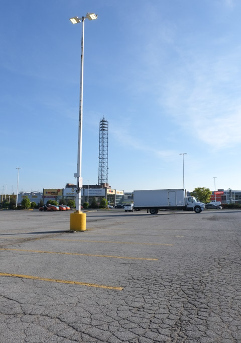
large parking lot at golden mile mall, not many cars

Did that tall metal structure have a purpose? Or just decoration?

Even back in the 1950s the parking lot was enormous.  I get the impression that the golden mile wasn’t so golden if you didn’t own a car.

black and white photo from 1950s of cars in a parking lot in front of a mall, the golden mile mall

Photo Source: From Old Toronto Series facebook page. If you are interested in the way Toronto used to look, check them out!

below: Part of the mall was destroyed by fire in 1986

black and white photo of firemen rolling up hoses in front of burnt out woolworths store

Photo Credit: Rick Eglinton, Toronto Star Photograph Archive, “Original Toronto Star caption: Fire guts part of Golden Mile plaza. Three of the 50 firefighters called out yesterday to battle a spectacular fire that gutted the west end of Scarborugh’s Golden Mile Plaza roll up their hoses after finally dousing the last ember. The mall, built mostly of wood in the 1950s and once Canada biggest, is now being demolished. The Ontario Fire Marshall’s Office has not yet determined the cause of the blaze. Published in Toronto Star, 16 December 1986”.  Found online at Toronto Public Libbrary Digital


development notice sign for redevelopment of golden mile mall property at Eglinton and Victoria Park

two women walking along the sidewalk as a truck passes by

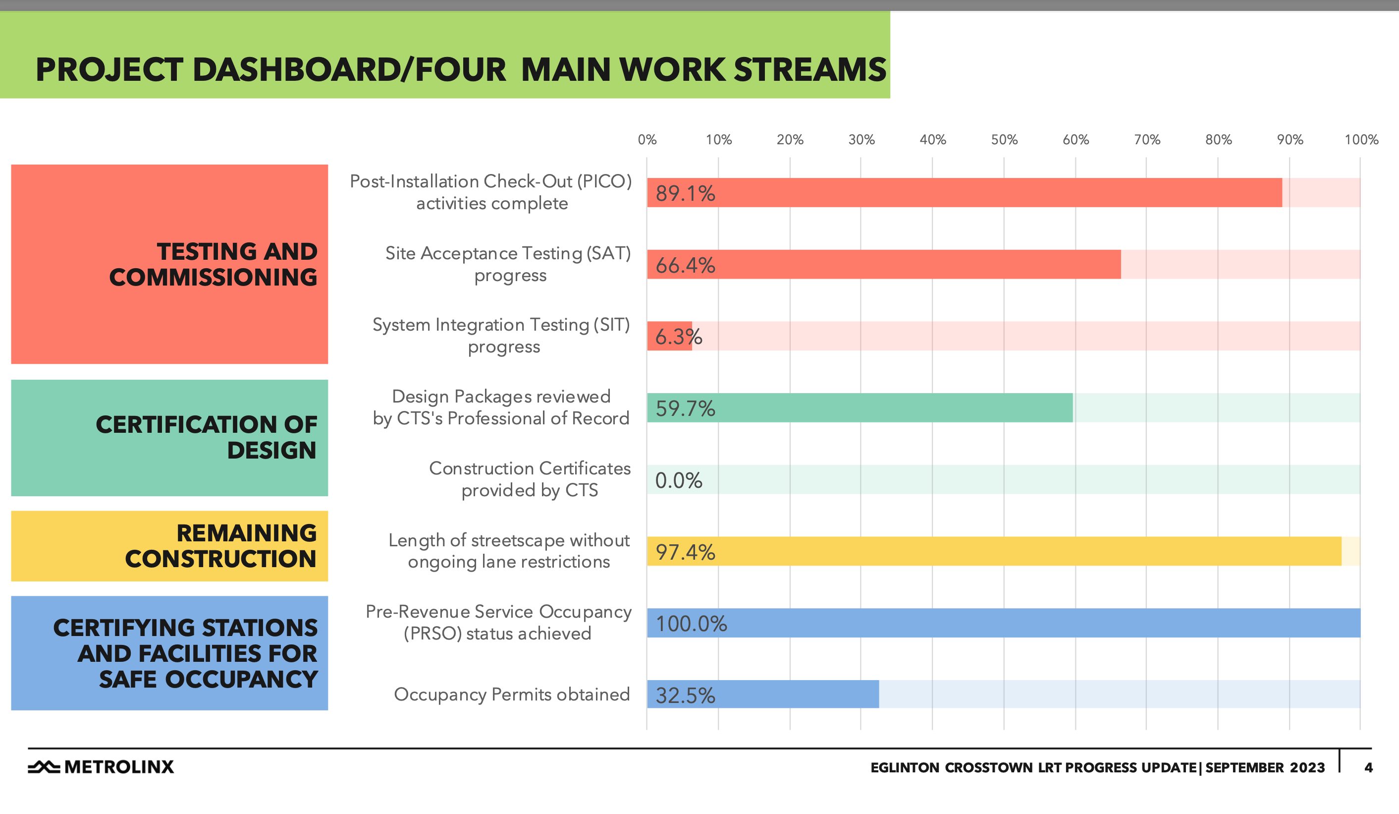
As I alluded to above, the Eglinton LRT has been built here.  As most of you know, this is the mystery transit line – nobody knows when it’s going to be operational.  Not even Metrolinx knows.  Coincidences are such that after I took these photos I discovered that Metrolinx was supposed to make an announcement about the Eglinton LRT this afternoon (Sept 27).  As it turns out the announcement was that there was no announcement but they will make more announcements in a couple of months.

below: So O’Connor LRT station sits waiting…   Just in case you don’t know, O’Connor station is at Eglinton & Vic Park (O’Connor Drive ends at Vic Park a short distance south of here).
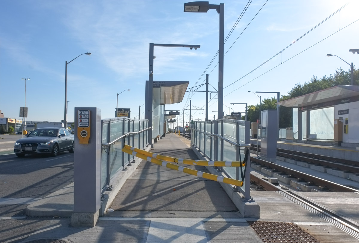
empty LRT station with yellow and white barricade

below: O’Connor LRT station, from another angle

LRT station on Eglinton

below: I was shocked to see a streetcar pull into the station!  They really are running tests or training people, or whatever it is they’re doing.  Back in early June 2021 (more than two years ago!) the first LRT vehicles made their debut in Toronto (blog post from that day)
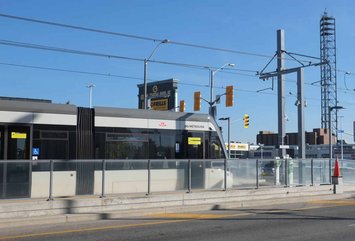
eglinton lrt vehicle at o'connor station

tracks and empty platfor at o'connor lrt station

When the area was first settled it became farmland.  A few apple trees still grow along the side of Pharmacy Ave

apples growing on apple tree

During WW2, the Canadian government bought some of that farmland and built a munitions plant known as GECo (General Engineering Company). This factory was south of Eglinton and east of Pharmacy. After the war, many other industries moved into the area.  Beginning in the 1980s, the industries started leaving.

below: Today there are still a few left such as this IPEX facility – they make thermoplastic pipes (such as PVC pipes used in plumbing)
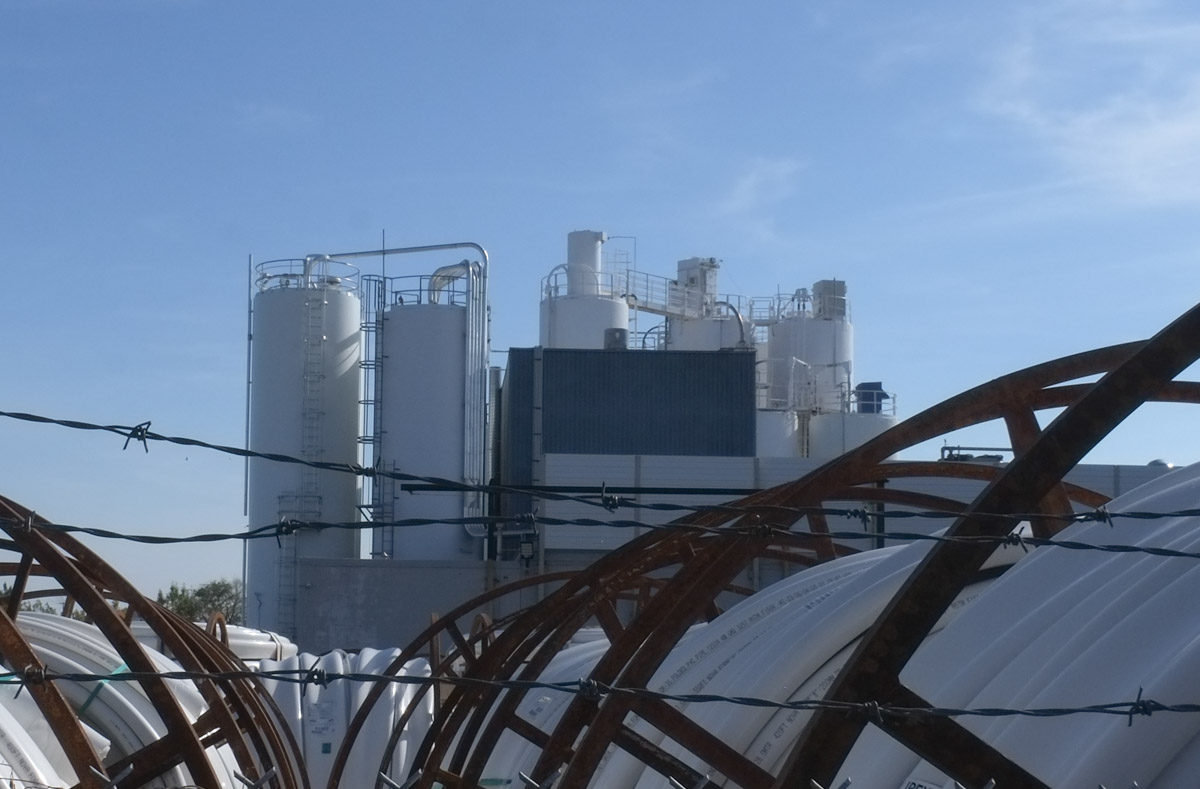
barbed wire surrounds a group of chemical silos

Another industry, Flexible Packaging Corp, has moved on

front end loader, digger, demolishing a brick industrial building

demolition of industrial building

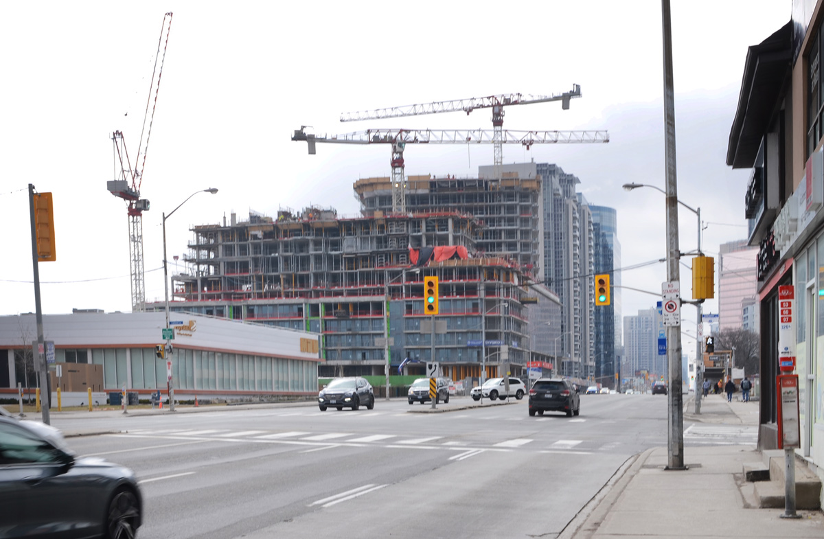
If you google their address, 1891 Eglinton Ave East, you will discover that there are plans for the latest trend – the mixed use community – here too.  Tall condo towers, retail, and public space (here 5 towers, 4 of which between 30 and 45 storeys).  There are going to be a few of these along Eglinton.  For instance, the Crosstown neighbourhood is well underway at Eglinton and Don Mills.  And there is the Golden Mile Mall redevelopment that I mentioned above.

building being demolished, broken walls, no doors, sign that says truckers report to office

The Eglinton LRT has, not surprisingly, encouraged a lot of redevelopment.  Almost every building along Eglinton between Victoria Park and Pharmacy has a blue and white development notice in front.   I didn’t walk farther east but I suspect that a similar story is playing out there too.

below: At the southwest corner of Eglinton and Pharmacy, one tall tower of 35 storeys

blue and white development notice sign in front of a Burger King

below: North side of Eglinton, 2 towers – 38 and 40 storeys.

blue and white development notice sign in front of a Bank of Montreal building

Across the street from the Golden Mile Mall is Eglinton Square, another mall. It too has a development notice out front.   It was dated 2018 so take it with a grain of salt that the mall is retained but 91 rental units behind it will disappear. … Can we believe that?  So…  A quick google and yikes!  Seven towers, 5 of which are 40 storeys or more for 1 Eglinton Square.   Really?  Are we that short of ideas for housing?  In twenty to thirty years are we going to look around and wonder what the hell happened here?
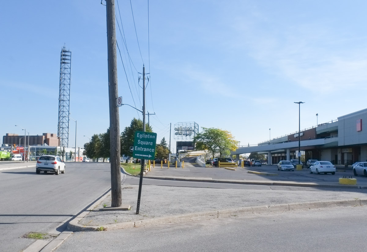
street scene with little green sign for eglinton square entrance

below: HBC on the west side of Eglinton Square
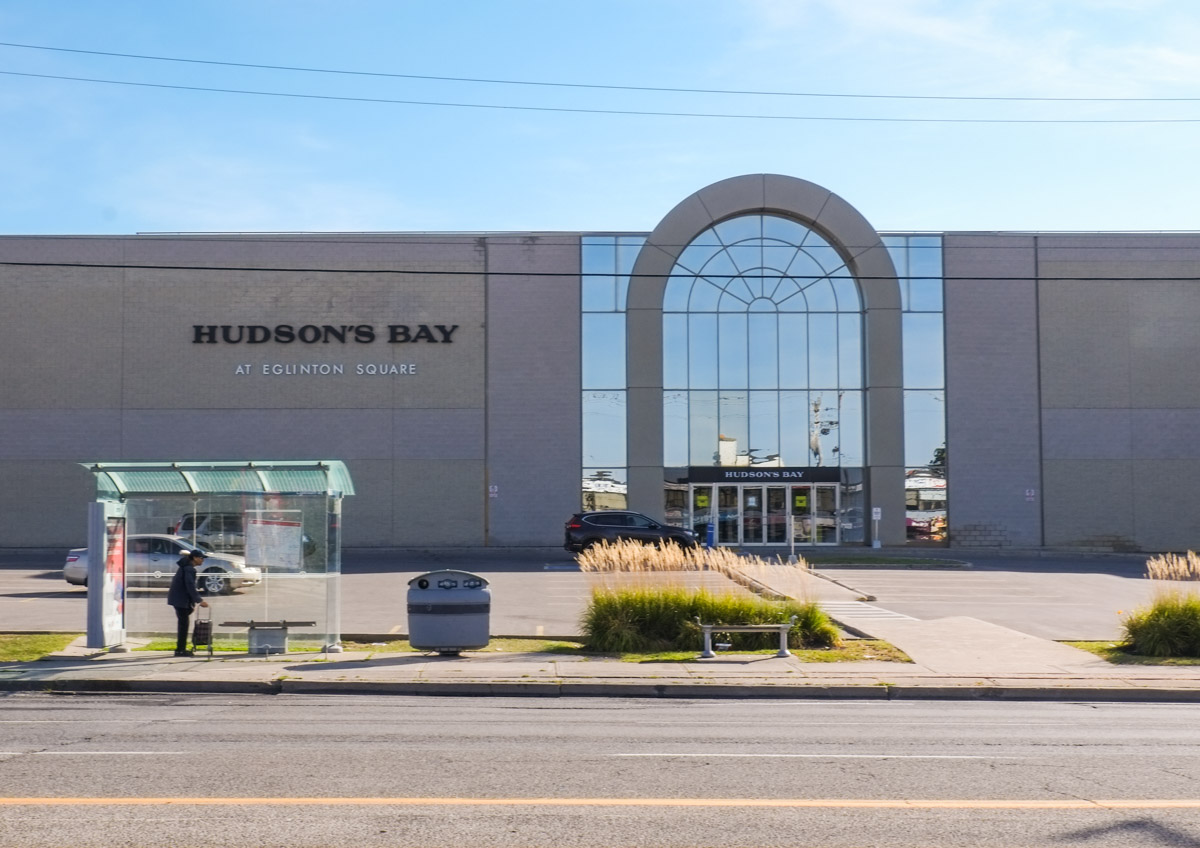
entrance to Hudsons Bay store at Eglinton Square

below: This is the triangle formed by O’Connor Drive, Eglinton Ave., and Victoria Park Ave.  The parkette that was here is all dug up.   I’m not sure that I want to know what’s happening here.
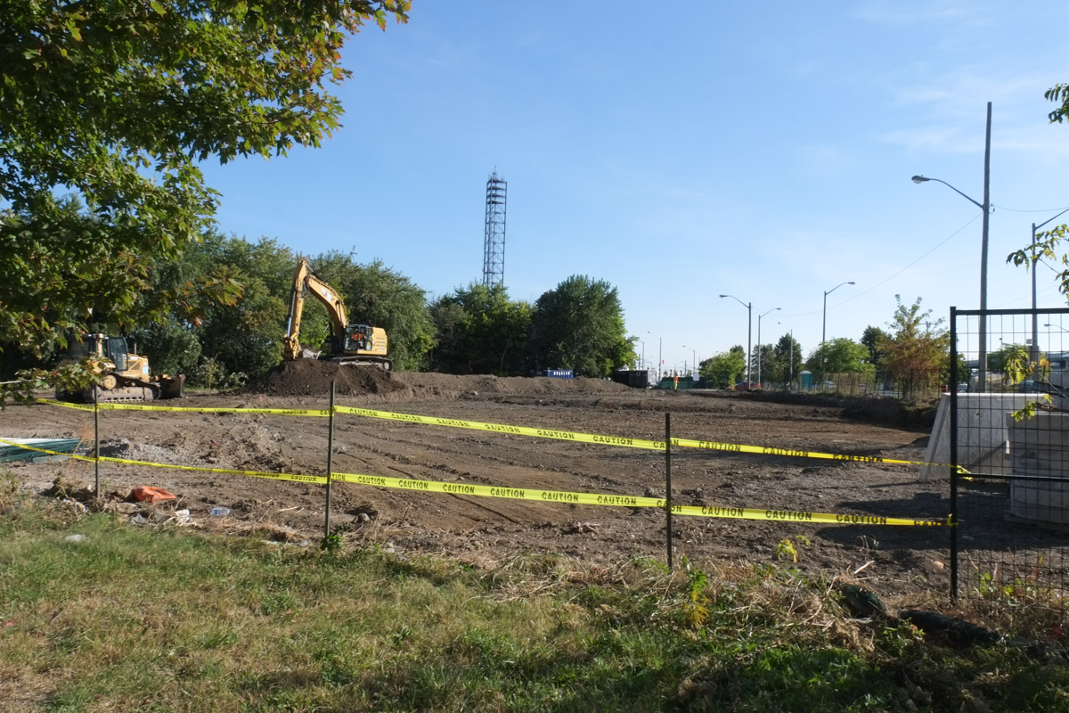
levelled ground, dirt, construction equipment working there,

Graffiti

small white skull, graffiti painted on a black metal box

below: Danger due to blunt mop.  At first I thought it was someone’s strange humour but on closer look realized that it was an advert for a soundcloud account.

danger due to blunt mop sign on hydro pole

below: Help wanted!  and “help” available at a price

signs on the side of a blue and white free newspaper box, one sign says help wanted, and the other is an ad for viagra and cialis

sidewalk on Vic Park near Eglinton, sign advertising cannabis at lowest prices,

looking through a glass wall where 2 panes of glass are missing and the others have graffiti on them

*****

Additional Note:

This is the “Progress Chart” released by Metrolinx today re the Eglinton LRT.
These are some of the photos that I took the last time that I walked along Queen Street East – with a diversion or two down to Eastern Avenue.  It was a wander around parts of the Leslieville and Riverside neighbourhoods.   In no particular order….

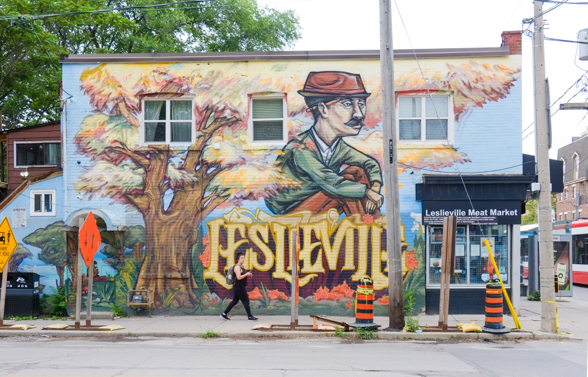
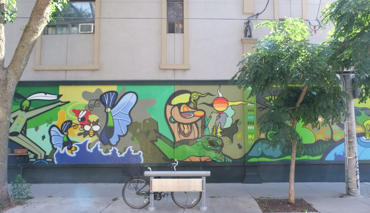
below: Leslieville mural painted by Elicser Elliott, Queen Street East

large Leslieville mural by Elicser, man wearing a brown hat

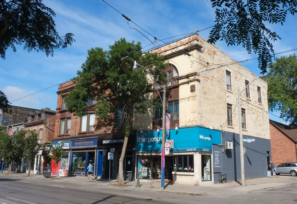
below: Queen Street shops

stores on Queen St East, including LIttle Peeps

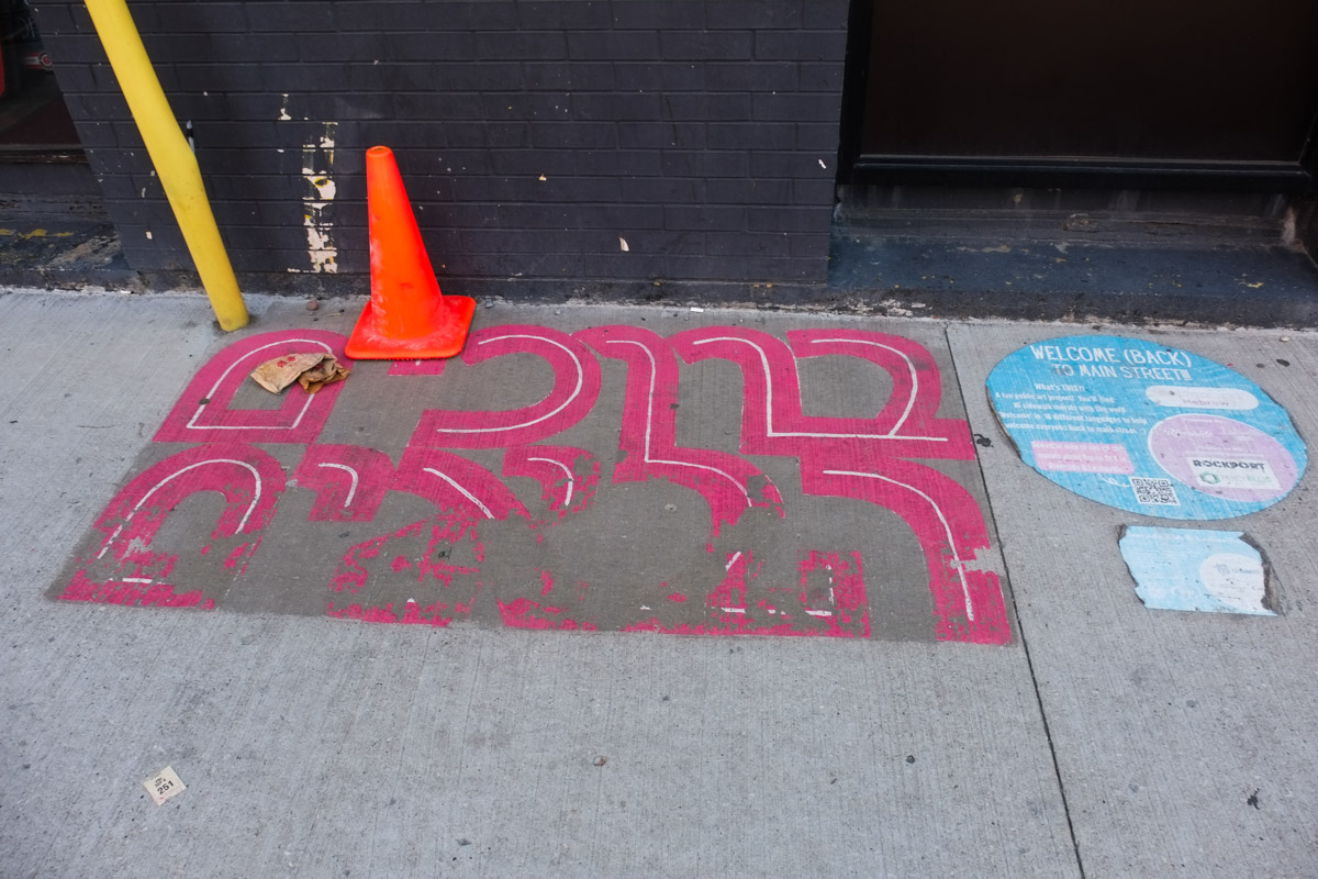
below: Hebrew letters, part of a project called “Welcome Back to Main Street” from back in 2021.  The Riverside Neighbourhood and Leslieville BIA collaborated with STEPS Public Art as part of the I HeART Main Street Challenge. The painting was done by local artists Bareket and Curtia Wright

in pink, Hebrew letters spelling welcome

below: … and nearby, “welcome” in Polish, witamy.

pink letters on sidewalk spell witamy which is polish for welcome, part of welcome back to main street project

below: At 744 Queen East, the old white Bank of Commerce building with its bowed front facade, dates from 1905.  The architects who designed the building were Darling & Pearson who were responsible for a number of bank buildings in Toronto and other Canadian cities.

large old bank of commerce stone building with pillars in front, police man writing a parking ticket for white car parked in front of building

below: Blessed Love Caribbean Grocery and Take Out.

signs for stores on Queen East including Blessed Love Caribbean

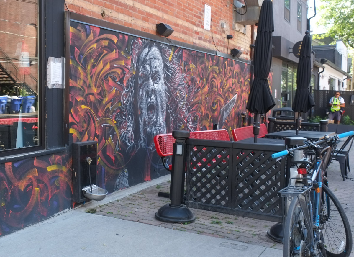
below: A frenzied backdrop to a sidewalk patio.

mural on wall beside sidewalk patio

below: Ghost sign at Queen and Coady.

ghost coca cola sign on side of old store, now a Spanish restaurant, with red umbrellas on patio


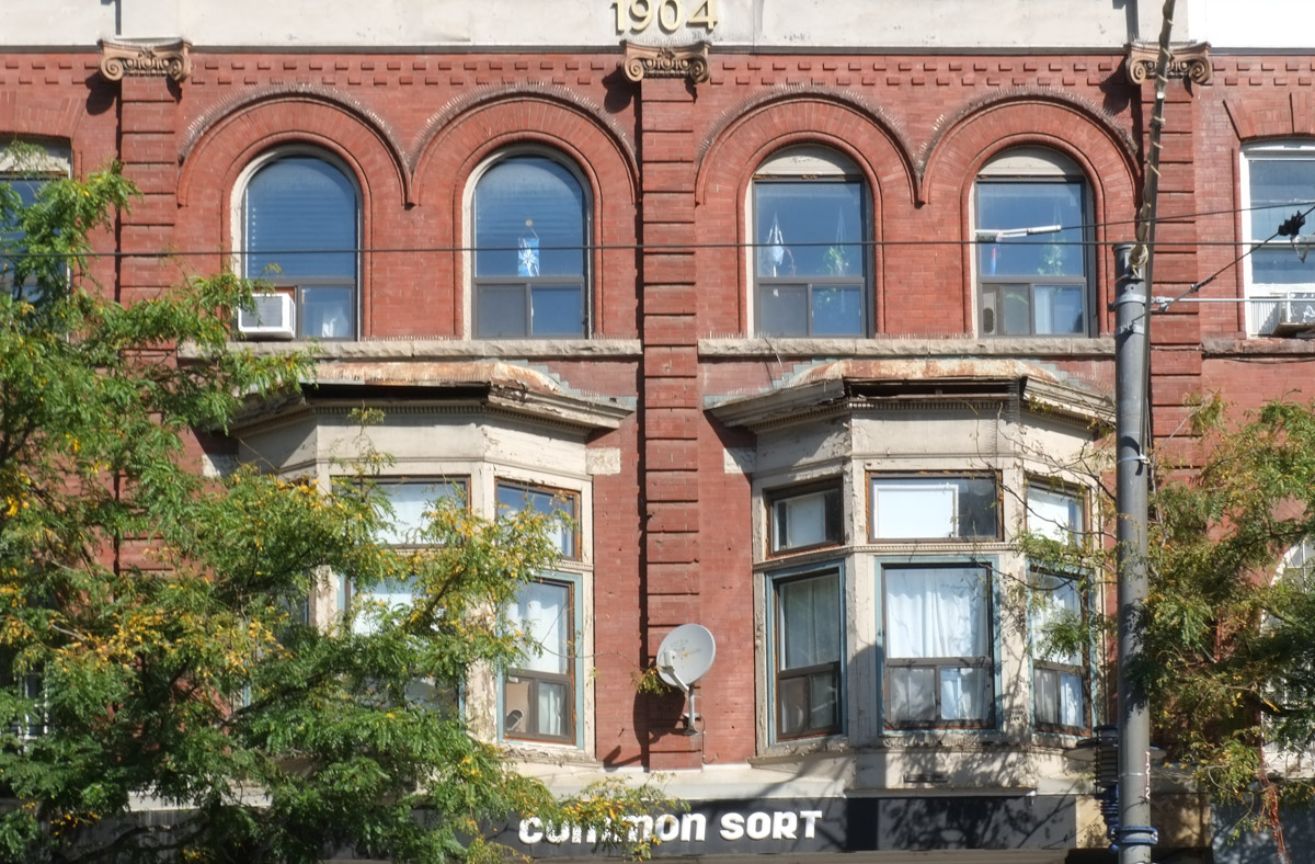
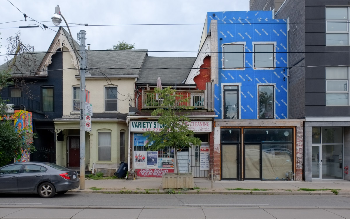
below: More details from the past trying to hold on.   The “blue box” has obliterated the old gabled roof structure that has probably been there for more than 100 years.

a row of buildings on Queen East with different architectural styles, some bay and gable, some modern square

below: Canadian flag motifs on planters

tree planters on queen street, painted in red and white maple leaf flag motifs
below: Strange ducks on posters, a form of graffiti?  Or just weirdness?

paper poster graffiti on a cement utility pole

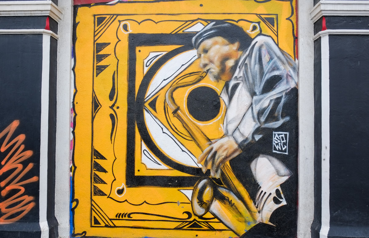
below: Sax player at the Duke

street art painting of a saxophone player on yellow background, at the Duke tavern

below: Mediah on Queen

mural by mediah on queen street

mural

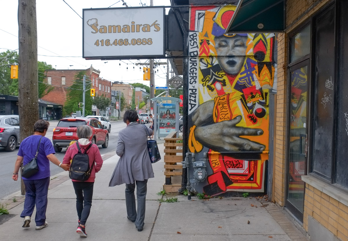
people walking past Samairas, with a street art painting on one of the exterior walls, large hand

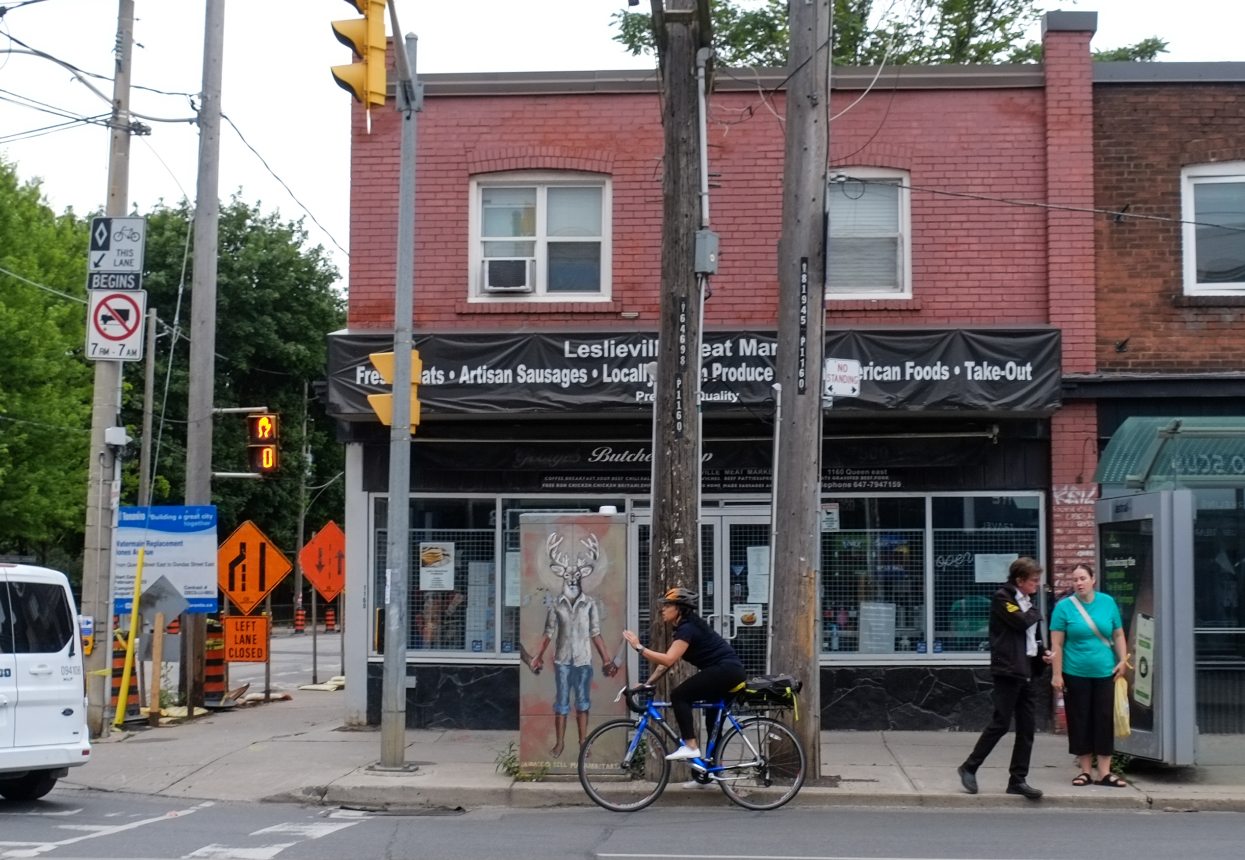
Leslieville meat market, with street art image on door, a cyclist in front, women waiting at bus stop

below: on Broadview

mural on the side of a building on Broadview

below: Gales Snack Bar, Eastern and Carlaw.

Gales in old house on corner

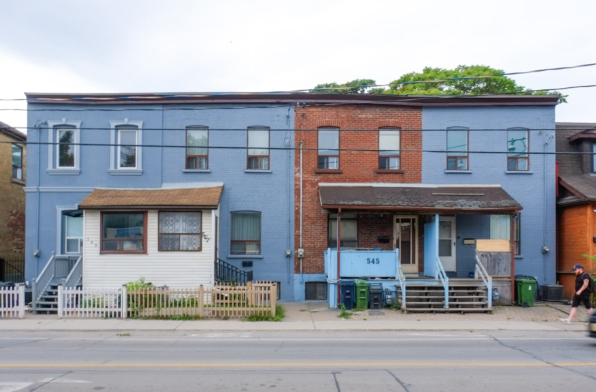
below: Old row houses on Eastern – 4 in a row, 3 blue but 545 is in its original brown.

two storey old rowhouses on Queen St West

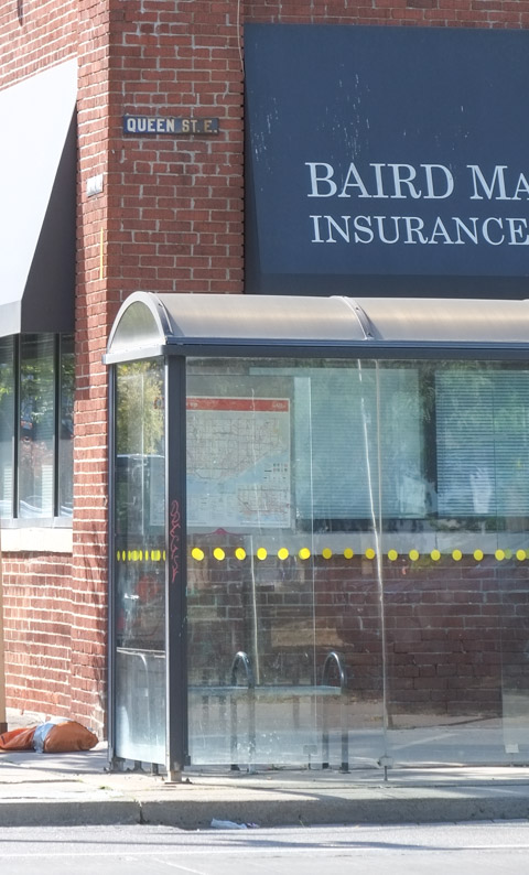
below: Something else that is old – an old style bus shelter close to an old metal Queen Street street sign affixed to the brick building.

old bus shelter with curved roof and brown metal supports,

below: And one last “you don’t see many of these anymore” – old parking meters.   Anyone got coins?

old grey metal parking meters, two on one stand

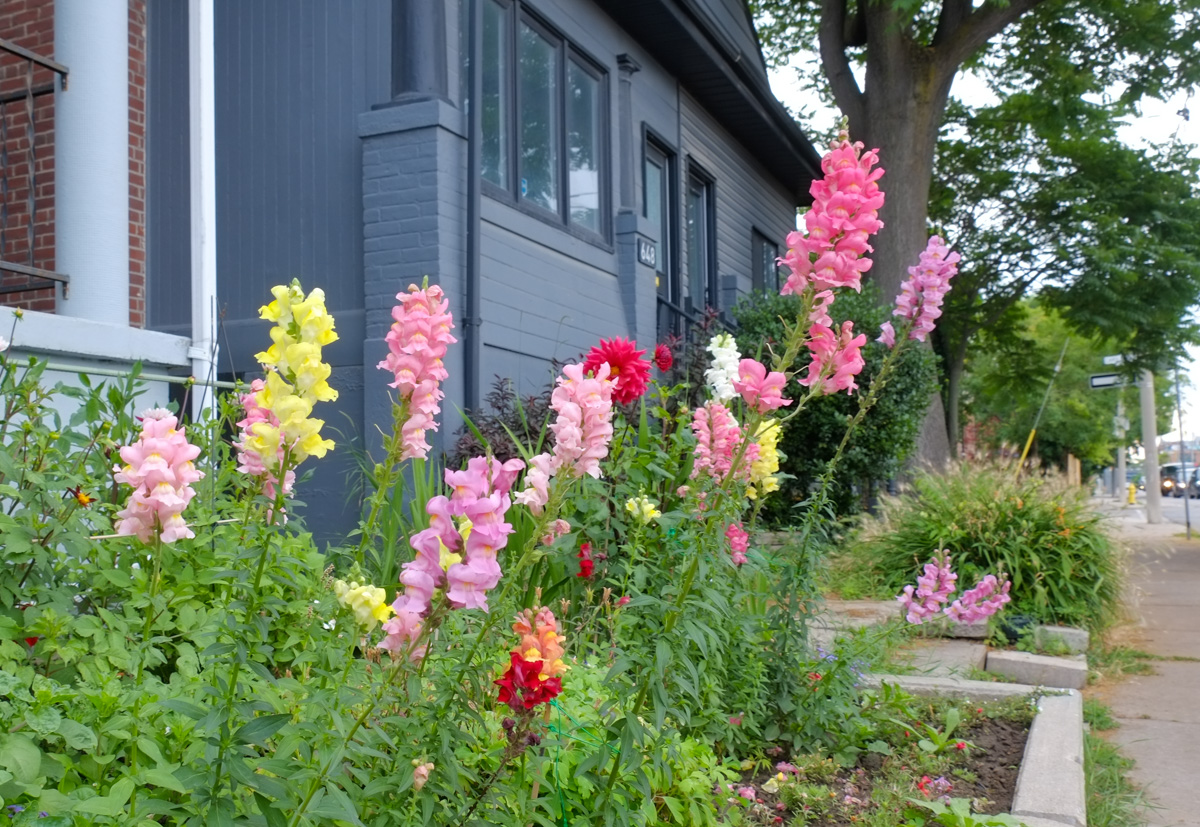
below: Snapdragons

pink, red, and yellow snapdagons flowers growing in front of a grey house

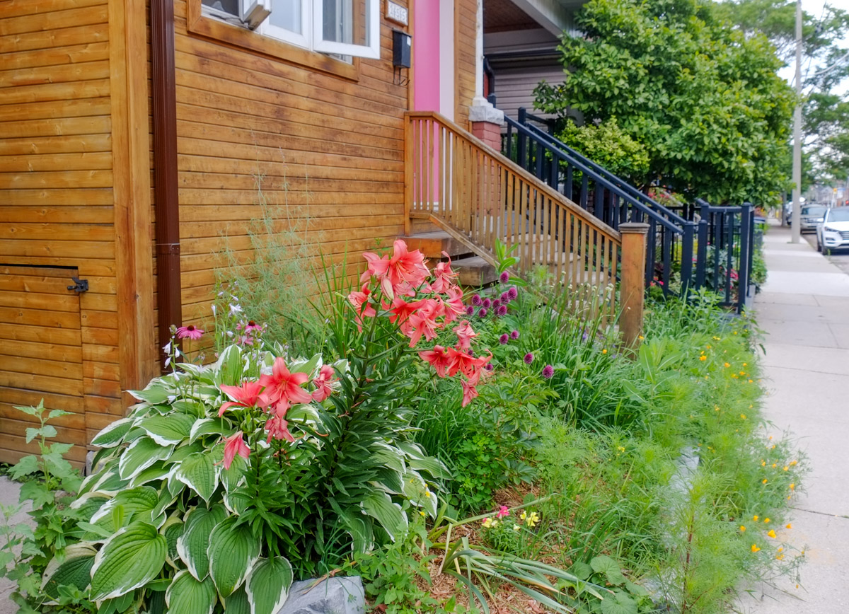
below: Lilies and hostas

small city frontyard with some grass and some red lilies and a hosta

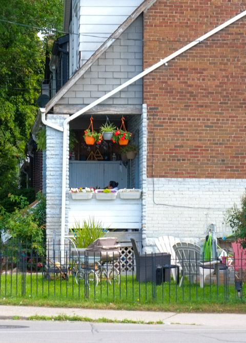
below: More flowers, and a baby pram too.  Did you know that pram is just a short form of perambulator?  How British is that!  Even better, the second meaning of perambulator is, “a person who walks, especially for pleasure and in a leisurely way.”

porch of house with hanging baskets of flowers, chairs on the lawn,

below:  More than flowers!

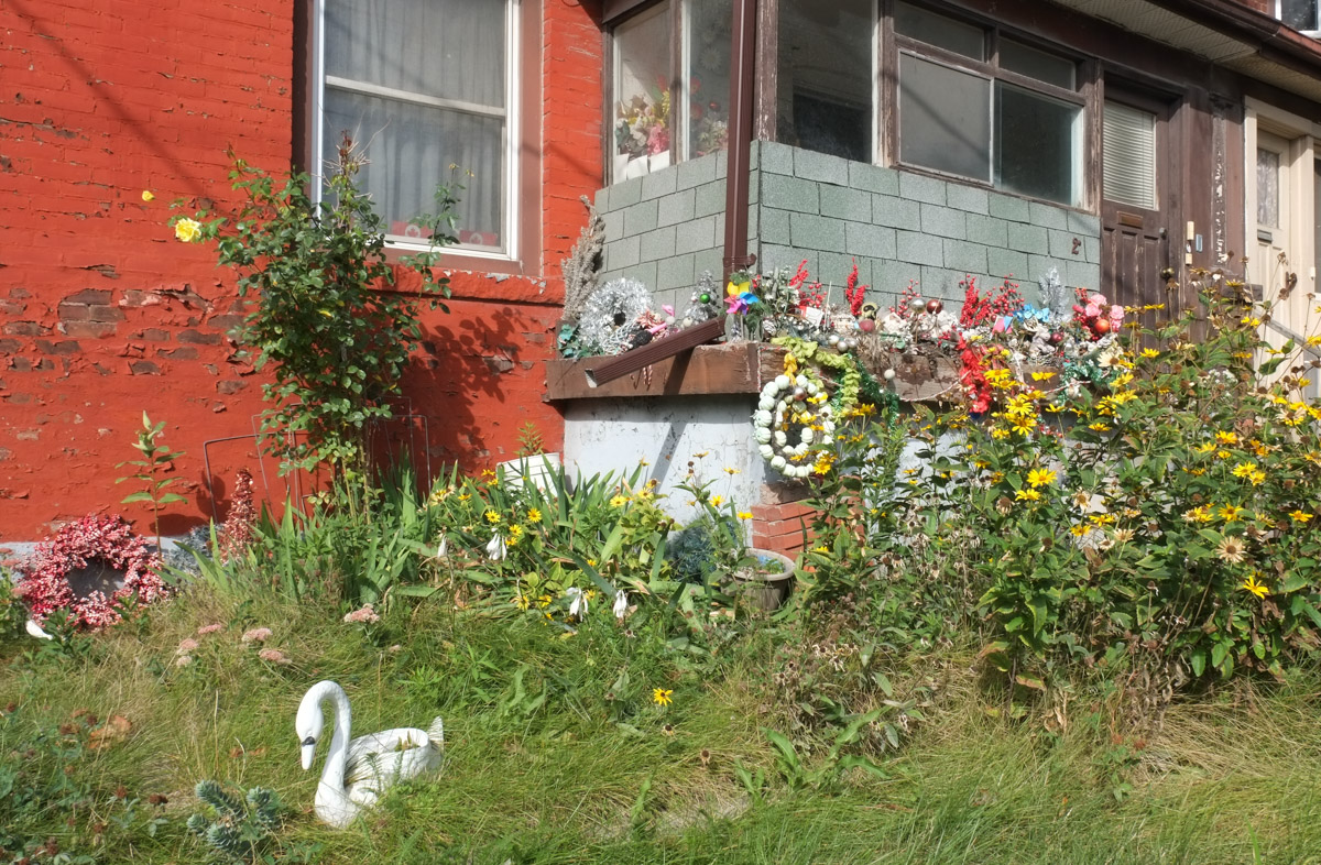
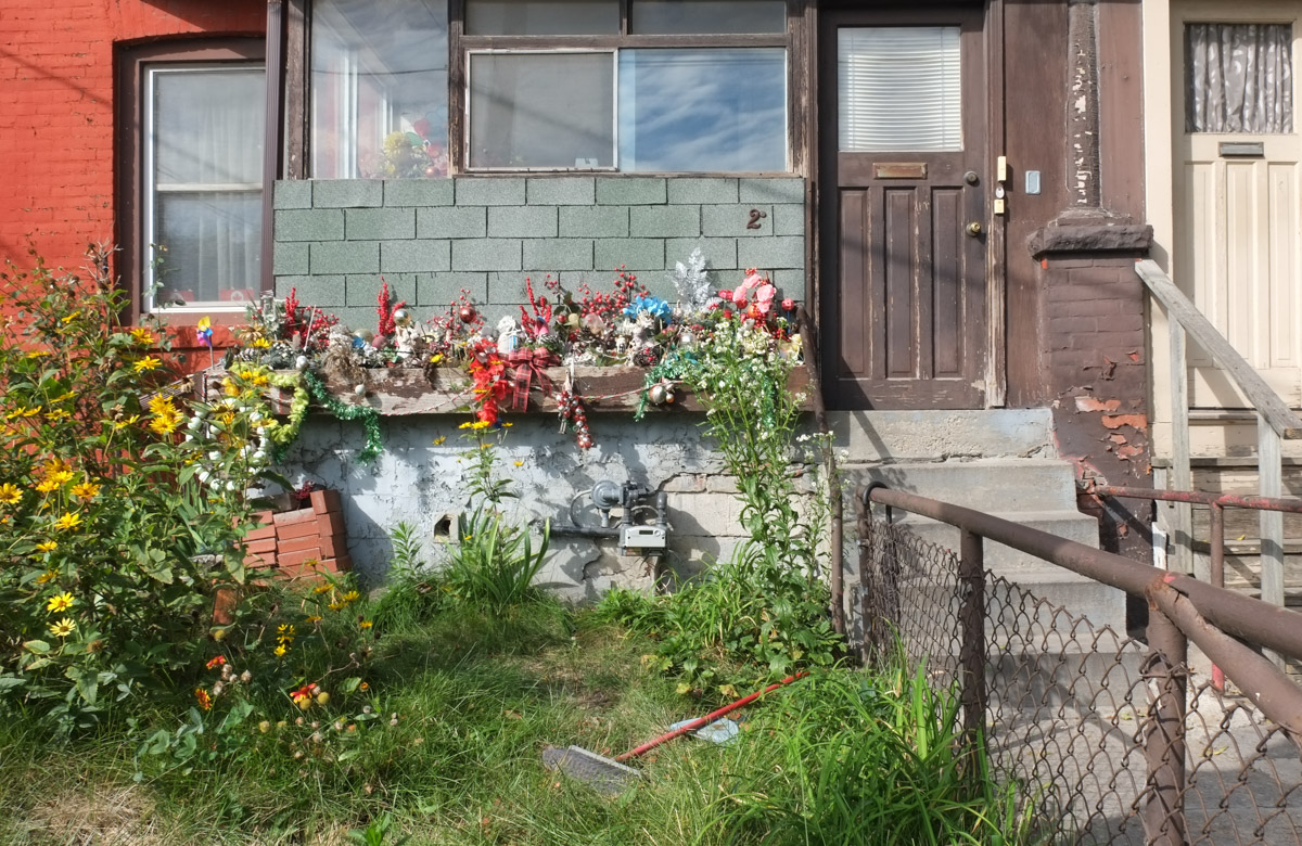
reddish orange painted brick house with lots of decorations, such as fake flowers, a white swan,, around the front porch

reddish orange painted brick house with lots of decorations, such as fake flowers, a white swan,, around the front porch

below: Perambulating on Queen West!

some people walking on queen east, another person sitting on a bench

Queen Street east street scene

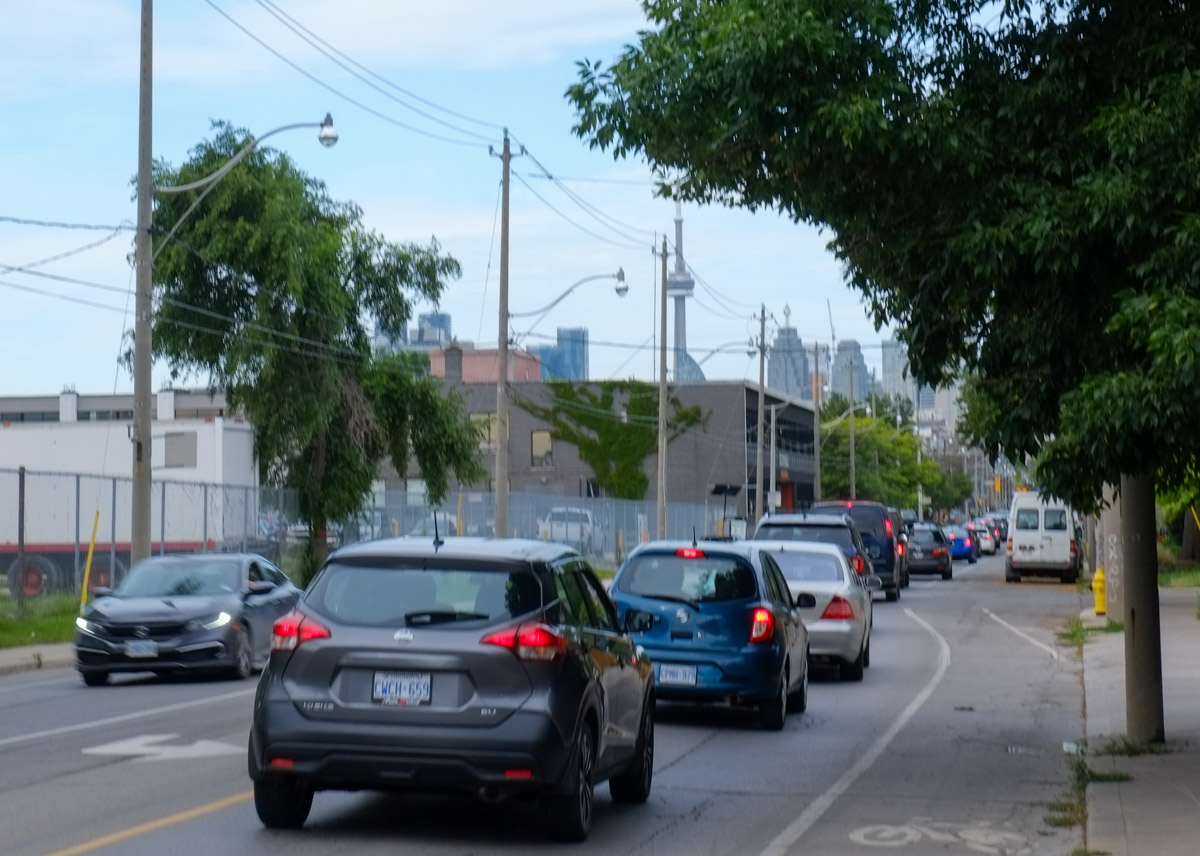
below: Traffic on Eastern Ave, headed downtown.

westbound traffic on Eastern Ave., moving towards downtown

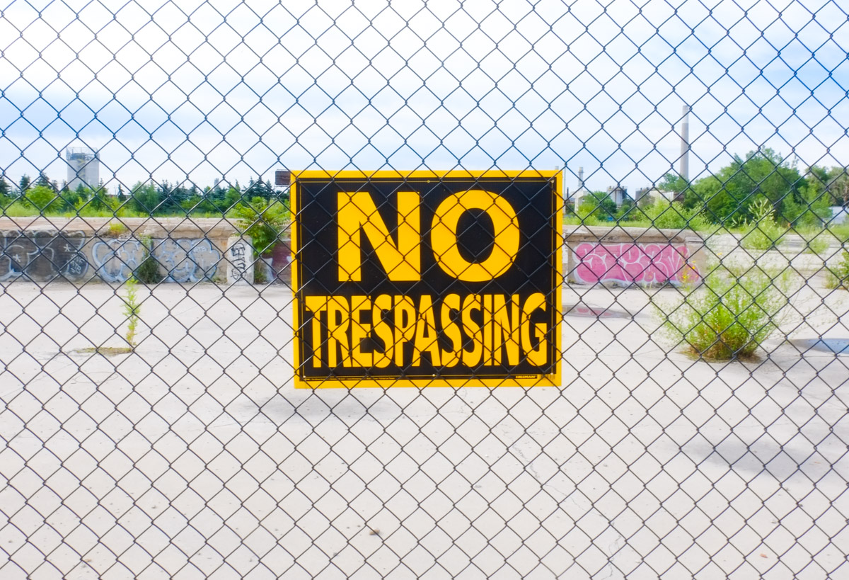
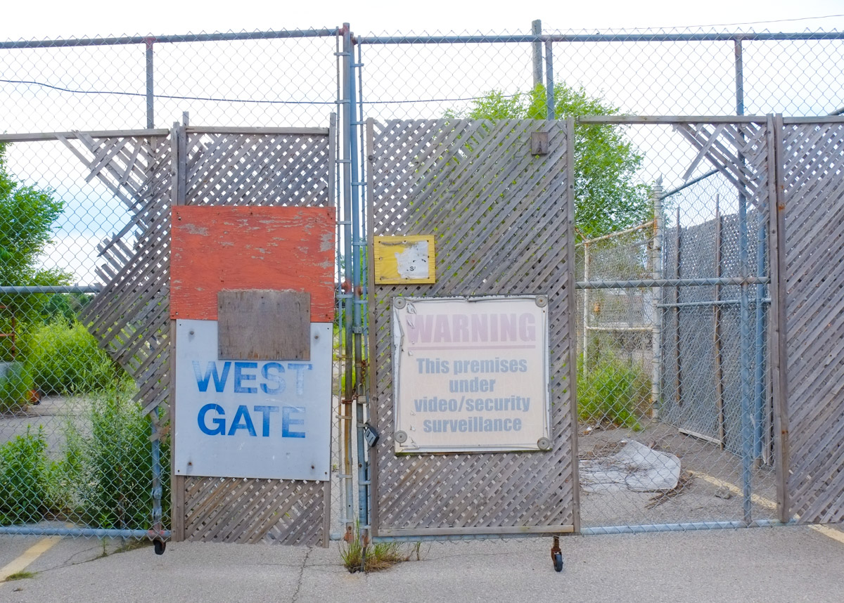
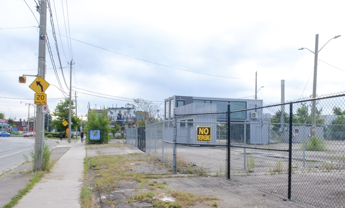
below: No trespassing sign on one of the many vacant lots on the south side of Eastern.

black and yellow no trespassing sign on chainlink fence

faded warning signs on a locked gate and chainlink fence

below: This is one of the vacant lots on Eastern; it’s just west of Leslie.  The containers are offices (?) for GM as in General Motors.  They are sitting on a seven acre site that is otherwise empty.  Starting back in 2016 there was talk that this site would be developed as a GM Mobility Campus but approval from the city was never granted.   The previous buildings (film studios) were demolished and the lot lies vacant.

container offices in large vacant lot with chainlink fence around

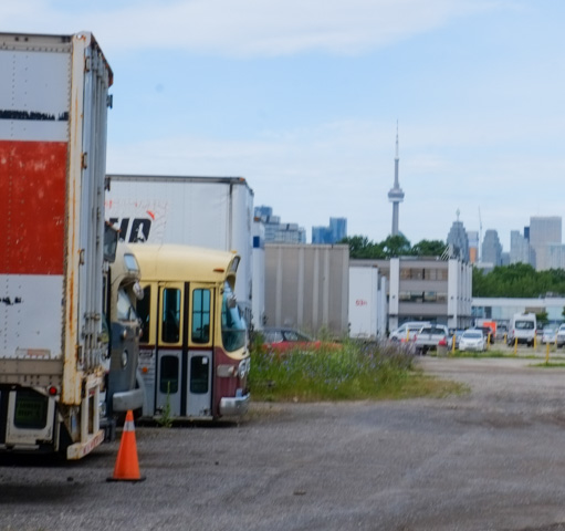
below: Another space is for storage of old buses and trucks, movie props and other remnants of film productions.

trucks and school bus behind fence

below: … which happened to be unlocked the day I walked past.

CN Tower in the distance, a parking lot with old trucks and buses in the foreground

looking through upper windows of two buses, with reflections

below: On Leslie Street, at Eastern, this whole building is for lease because….

three storey industrial building with billboards on the side

below: .. as the letter states, the last tenant was locked out. They abandoned the premises leaving behind more than $100,000 in rent owing to the landlord.

letter on door stating that tenant was kicked out of arrears in rent and for abandoning the premises, dutch love cannabis is no more at this location

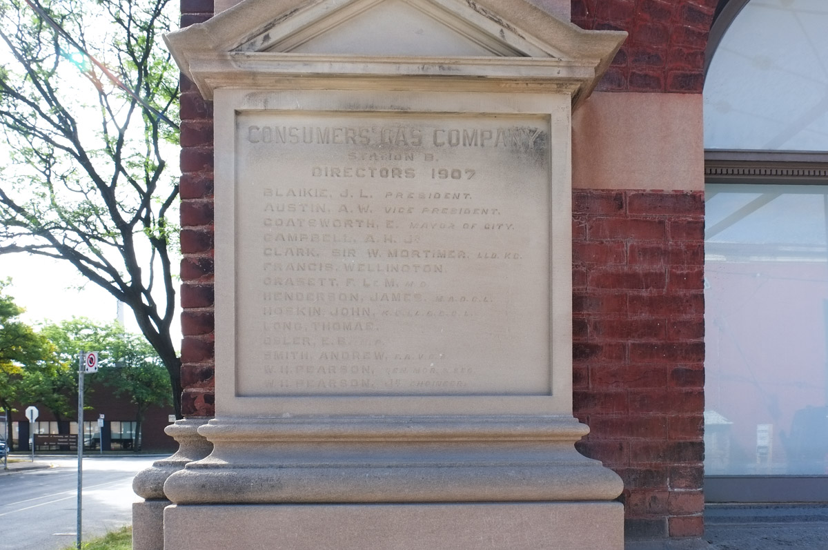
below:  The former Consumers Gas Company (now part of Enbridge) has had a large presence on Eastern Avenue for many years.  This stone on the exterior of the building names all the Consumers Gas directors in 1907 (presumably when the building was built?).  J.L. Blaikie was the president and A.W. Austin was the vice-president.  The mayor of the city, E. Coatsworth, was also a director.   There was a Sir W. Mortimer Clark on the list and, to no one’s surprise, the other names were all very anglo.

engraved stone with the list of Consumers Gas Company directors in 1907. on exterior of the building

below: Queen West at the CNR tracks

woman in long black skirt and white hat walks on Eastern Ave

below:  Little red picket fence

small red picket fence in front of a house

below: Renovations

large third storey addition on a house, juts out over front yard

two new renovations of family houses in leslieville

below: Note the many hydro meters all in a row – six units in what was once a single family home.

large new multiunit residence being built beside older smaller grey house

back of a house that has been painted orange, an old garage with graffiti on the door

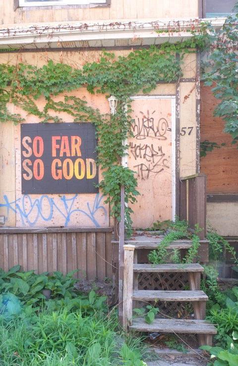
below:  So far so good

front door steps of empty house that has been boarded up, with sign on it that says so far so good

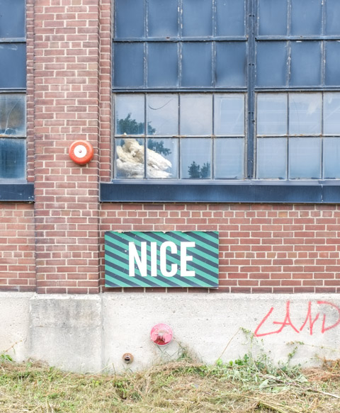
below: Nice

green sign with white letters that says nice on brick wall on old industrial building

below: You never know what you will find written on the concrete.

quotes supporting cannabis availability stenciled onto a concrete barrier

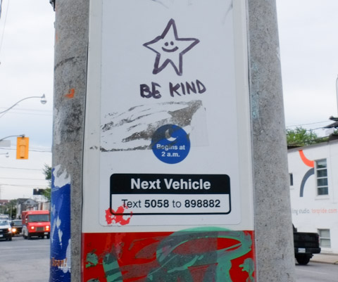
on a TTC bus stop sign, a black marker drawing of a star with a happy face in the middle of it, with the words be kind

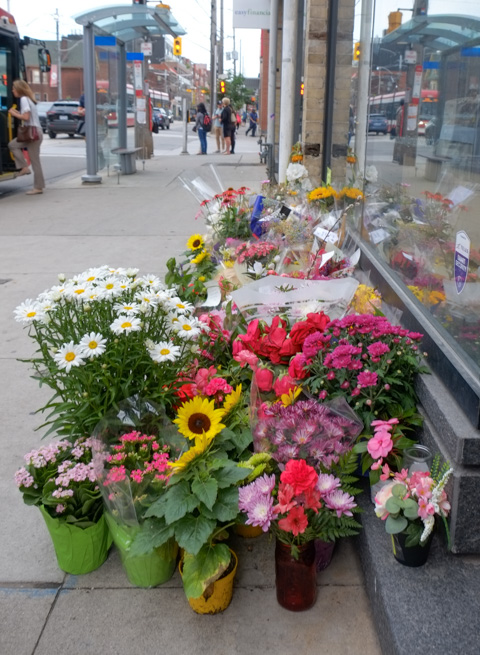
below: In memory of Karolina Huebner-Makurat who died on a Friday afternoon in August because she was in the wrong place at the wrong time. She was caught in the crossfire during an altercation outside a supervised injection site.  Senseless.  Horrible.

flowers, memorial

Stay safe.

a small Canadian flag has been stuck into a poster notice on a TTC bus stop pole

First, let’s get our bearings….

below: This was, until recently, the Dominion Pub. It is on the northwest corner of Queen St East  and Sumach. It was a popular spot with a decent patio.  When I saw that the Dominion was closed and the property for lease I decided that I’d better document the area.  There is just so much happening, or about to happen, here in terms of development.

northwest corner of Queen and Sumach, Dominion pub, old brick building, now covered with green, building for lease, once part of Dominion Hotel and Brewery

below: Directly opposite, on the northeast corner, is this row of buildings – 502, 506, and 508 Queen Street East. The buildings appear to be empty but there is no development notice sign.  Only 502, Sweet Marie Variety, is considered of any historic value.

row of three old buildings, two storey store fronts, all empty. Sweet Marie convenience store on the left, at corner of Queen and Sumach

below: Just to the east, more of the same.   One is for sale – It’s just over 1600 sq ft,  and can be yours for $1,800,000.  These pictures were taken on the 1st of July and as I write this almost two weeks later, it is still on the market.  Care to be a commercial landlord?  Or maybe hold onto it in hopes that a developer wants to buy you out?

two old 2 storey storefronts on Queen St. East, one is for sale, the other is a barber shop

below: One more change of viewpoint…   South side of Queen, looking west to Sumach Street

south side of Queen st east, looking east towards Charry Street, vacant lot, then a bright green building,

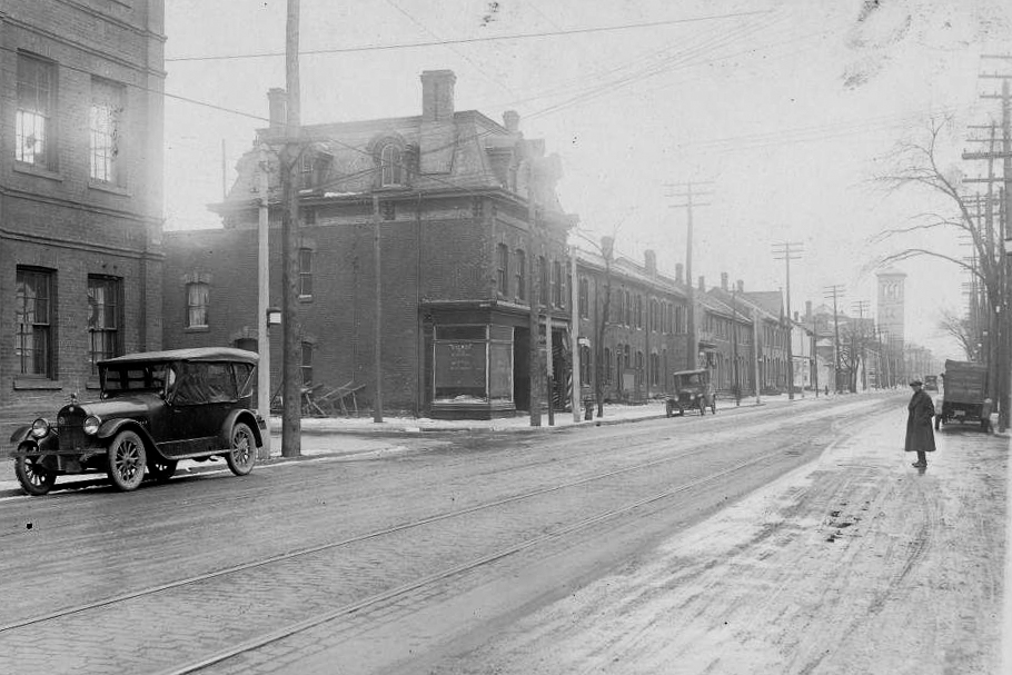
below: Stepping back in time (can anyone date the cars?), to the same intersection but from the other side, Queen Street looking west at Cherry Street.

black and white vintage photo of Queen street, looking west, at Cherry street

City of Toronto Archives, Fonds 1488, Series 1230, Item 2285, plus some enhancing with Photoshop

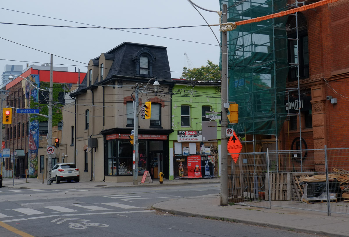
below: The building on the corner with the mansard roof is still there.  The bright green part of the building lost its roof in a fire a few years ago.  Both buildings date from before 1884.

looking south on Sumach, west side, from Queen, renovations at Dominion pub on the right, two older buildings on the south side, one with black mansard roof, and the other painted bright green

below: The fire also destroyed one of the row houses immediately beside, leaving a vacant lot in its place.  469 Queen is a terrace house built in 1877.  The ivy covered building (the Magic Building) faces Sumach Street.

old brick house beside a vacant lot, building in next street behind can be seen, it is covered in ivy

below: The brick warehouse/factory at 489 Queen Street East was built in 1884.  This building has been renovated and turned into office space.

renovated post and beam brick building, three storeys high, once a warehouse and now office space

below: Just east of the old warehouse is another short row of terrace houses from the same time period.

a row of two storey brick terrace houses, row houses, built in the 1880s, Queen St East in Toronto,

below: A little further east

old brick semi detached house, red brick, with black roof, central peak, on Queen East, heritage property

below: And a little more…. a row of flat roofs on two storey brick store fronts.  They also all have three narrow windows on the upper floor.

a row of two storey brick store fronts, one has a lot of light blue trim,

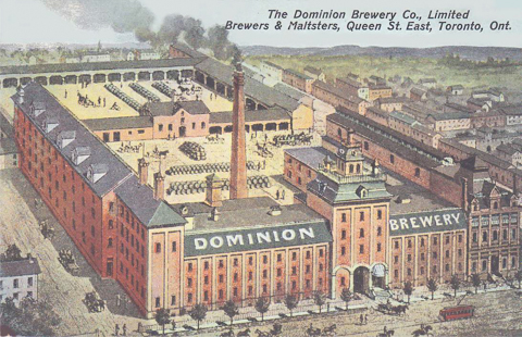
Jumping back to the start, the Dominion Brewery opened in 1878 and was in operation until 1936.  The original owner was Robert T. Davies who bought the site in 1877; he had worked previously at his brother’s brewery, Don Brewery which was only about two blocks away.  A large part of this structure still stands, especially the part facing Queen Street.  The lower right corner of this image shows the Dominion Hotel which was attached to the brewery but wasn’t part of it.
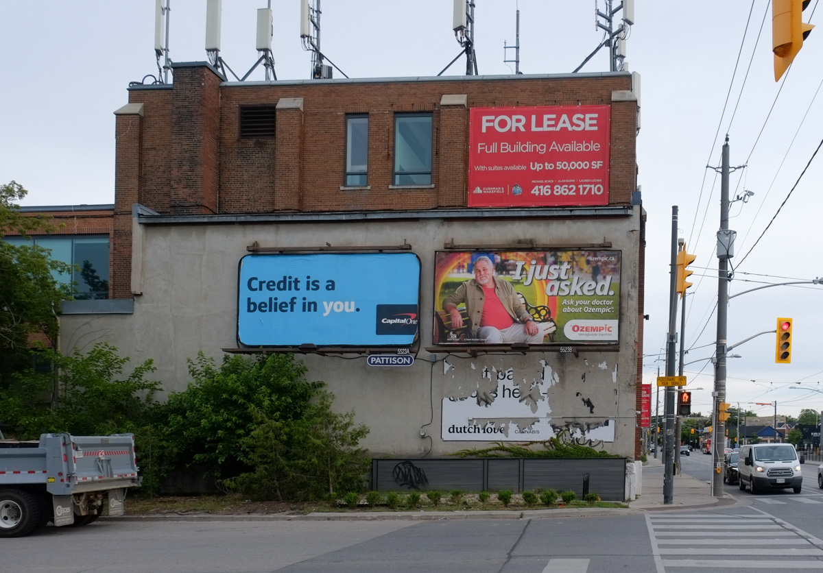
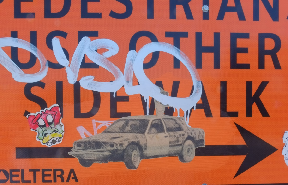
image of an old painting or drawing of the DominionBrewery complex on Queen Street East in the late 1800s or early 1900s

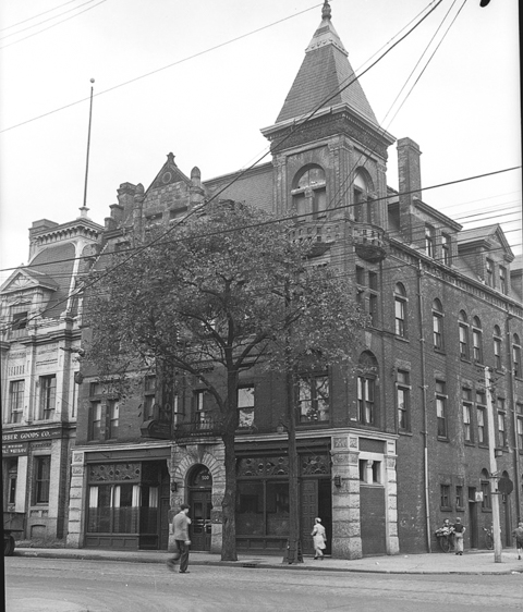
below: The Dominion Hotel as it appeared in 1945.  The little tower and fourth floor no longer exist.  The hotel was built in 1889 by Robert Davies (same as first owner of the brewery).

An older black and white photo of the Dominion Hotel. Once upon a time it had a tower.

This image was found on Wikipedia but is originally from the City of Toronto Archives, listed under the archival citation Fonds 1257, Series 1057, Item 520. (public domain).

below: Painting by Rowell Soller on Queen Street

a small painting by Rowell, blue background, person head and shoulders,

below: From under the scaffolding in front of the Dominion Pub.

looking through scaffolding covering sidewalk to bus stop and people on the other side of the street

below: The front entrance of the Magic Building on Sumach Street, south of Queen (that’s the ivy covered one a few photos above).

front entrance to a building, words over door say The Magic Building

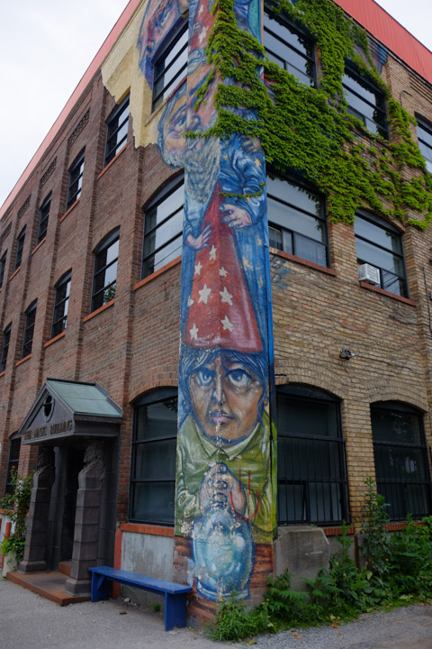
below: Not only does the building have a lot of ivy on its walls, it also has a painting by Elicser Elliott with a red-capped man at ground level.

on the corner of a building, tall vertical mural by Elicser Elliott, a wizard in a red cap with white stars all over it.

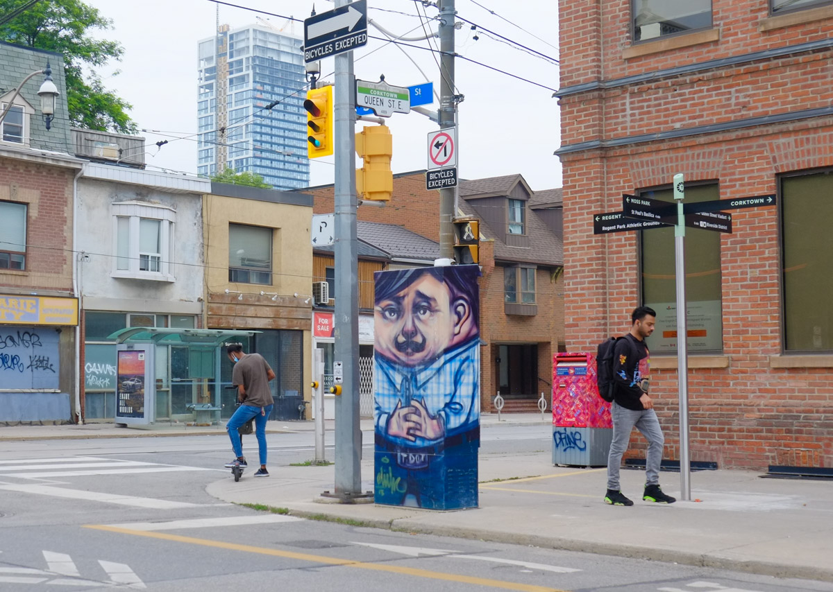
below: The box on the sidewalk across the street from the wizard painting has also been decorated by Elicser Elliott.

at Queen East and Sumach, a sidewalk box painted by Elicser Elliott of a man in a blue shirt, short dark hair. A man walks by, another man is sorting out his scooter while waiting for a traffic light

If you walk south on Sumach, it is a short block to King.

below: Looking down the alley to another street of row houses, Ashby Place, with newer Corkdown developments behind that.


two white houses with black trim, semi, with an alley beside, looking down the alley to row houses on another street

below: A closer look at a couple of the houses on Ashby Place – they’re small!

small row houses on Ashby Place, dormer windows on upper floor,

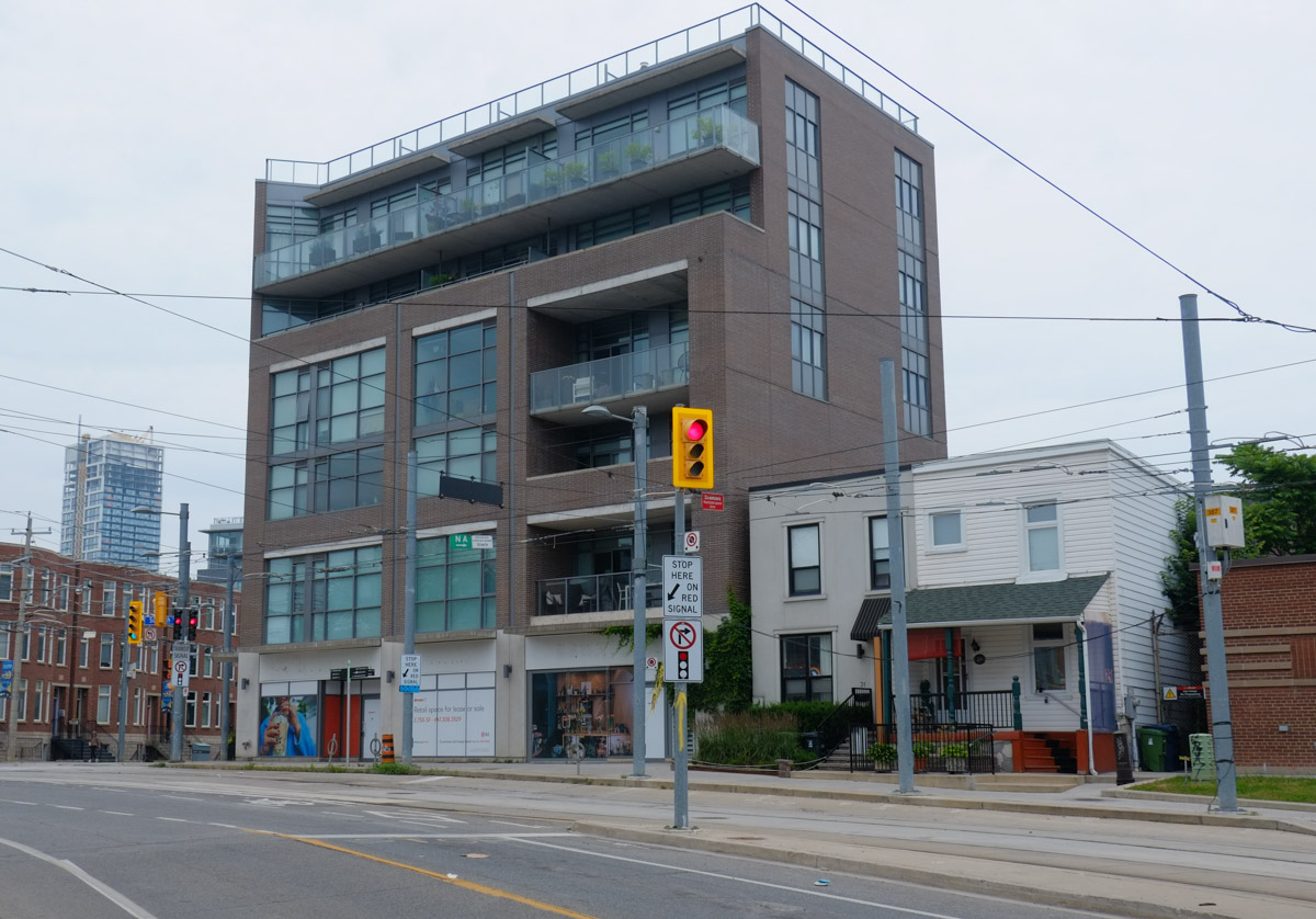
below: This is the northeast corner of King and Sumach. This intersection has more than 30 of poles, or at least I lost count at 30. Most of them are for the 504 streetcars.

newer low rise apartment building, or row houses on the northeast corner of King and Sumach

below: Southeast corner of King & Sumach… a mix of old and new

southeast corner of King and Sumach, newer 4 storey apartment building, 2 older square roofed family homes beside that

below: On the northwest side of the intersection are a couple of old brick houses that still survive.

two houses in a row, one is light blue with a large rose bush in front, to the right is a mechanic shop, Central Auto

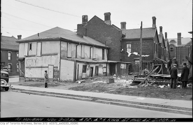
below: When I looked for old photos of the area, I found this one…. If I am not mistaken, it is the same location as the photo above but from a different angle.  The building that looks like it’s going to collapse any minute has been replaced by Central Auto.   On the right hand side of this photo there is a striped brick building in the background.  This is a church at the corner of King and Bright.

old vintage black and white photo of housing at King and Sumach

Housing – Nov 3, 1936, 472 and 474 King St. and 42 Sumach.   City of Toronto Archives, Series 372,

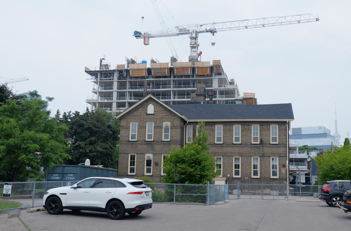
South of King Street, Sumach curves to join Cherry Street at Eastern Avenue.  As you travel south, Inglenook School is on your right. Between 1834 and 1890 this site was the home of Lucie and Thornton Blackburn, refugee former slaves from Kentucky who started Toronto’s first taxicab company. The school was designed by William George Storm (1826-1892) as Sackville Street School.  Storm also added the tower to St. James Cathedral and designed the wrought iron fence around Osgoode Hall amongst other things.

white car parked in frontof an old school building, brick, two storey, with condo development going on behind, is now Inglenook community school.

Inglenook School’s claim to fame is that it is located in the oldest continually-operated school building in the Toronto District School Board.

From here Sumach Street becomes Cherry Street.  The Distillery District is the next attraction on the route before Cherry crosses the Lakeshore (closed at the moment) and heads through the Port Lands to Cherry Beach.  But all that excitement will have to be found in other blog posts!

graffiti wheatpaste on the side of a Canada Post mailbox, words that say the more you feel your feelings the easier it gets

rusty mailbox at 504

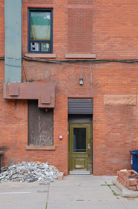
greenish colour door in brick building, side door of old Dominion Pub

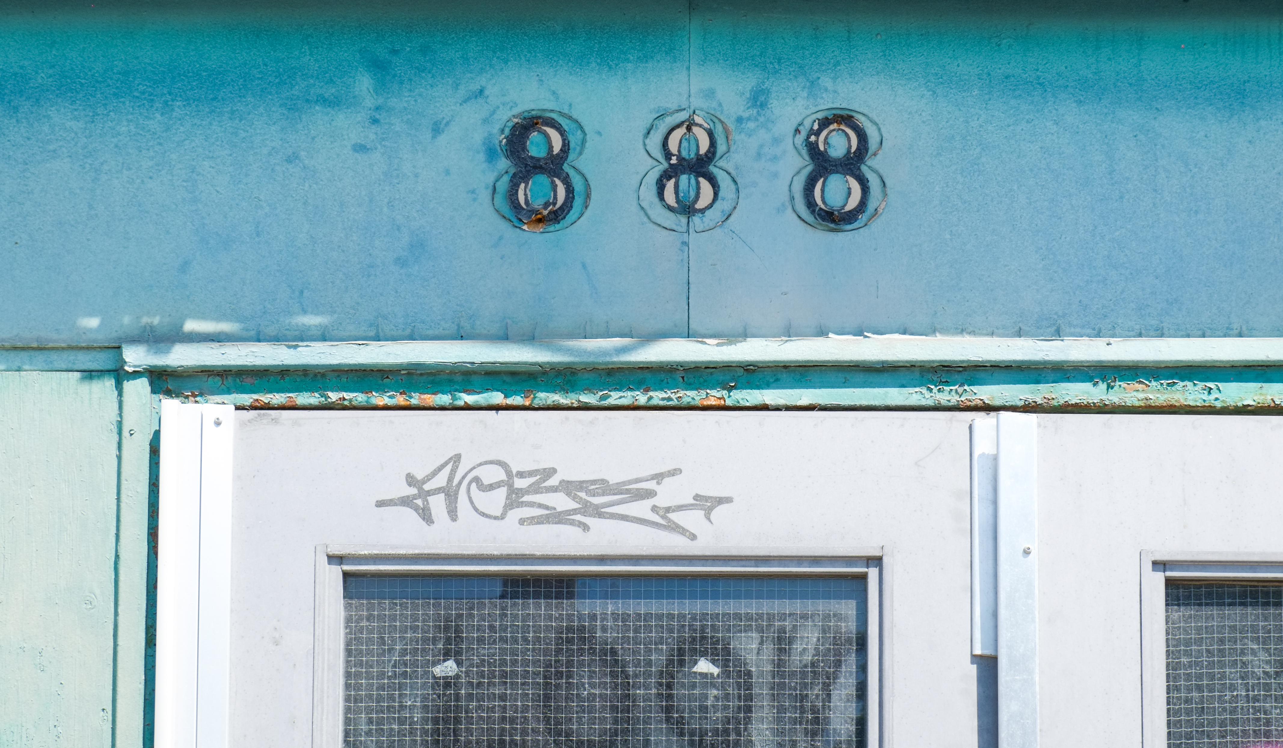
old numbers on a building, 888, removed but traces left behind, on a teal coloured wall

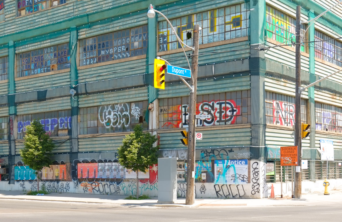
below:  888 Dupont Street is at the northeast corner of Dupont and Ossington.  The building was designed by Canadian architect William George Hunt and was built in 1921.  The first owner was Thomas Oswald Aked whose company Aked & Co (or Aked Worsted) was in the yarn spinning business.

old industrial warehouse building on the northeast corner of Dupont and Ossington, teal cloured cladding with lots of small square window panes, graffiti tags all over the windows, posters along the wall at street level

After World War I, the Canadian National Institute for the Blind established a broom, brush, and mop-making business to provide employment for servicemen who had lost their vision in combat.  In 1952 this business, Blindcraft, moved into 888 Dupont.

below:  The entrance to 888 Dupont is now behind a construction fence.

double grey metal doors, entrance to 888 Dupont, now behind construction fence, on three storey industrial building, first built for a yarn company, Aked and Company

In recent years the building became home to many artist studios.  Although the building was never deemed residential, some artists used it as a place to live.  They have now been evicted to make way for condo development by TAS Design.

below:  Through a gap in the window…

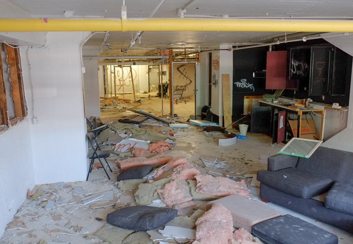
interior of an abandoned building with old furniture and furnishings still in the building, a shopping cart, gas pipe, trash,

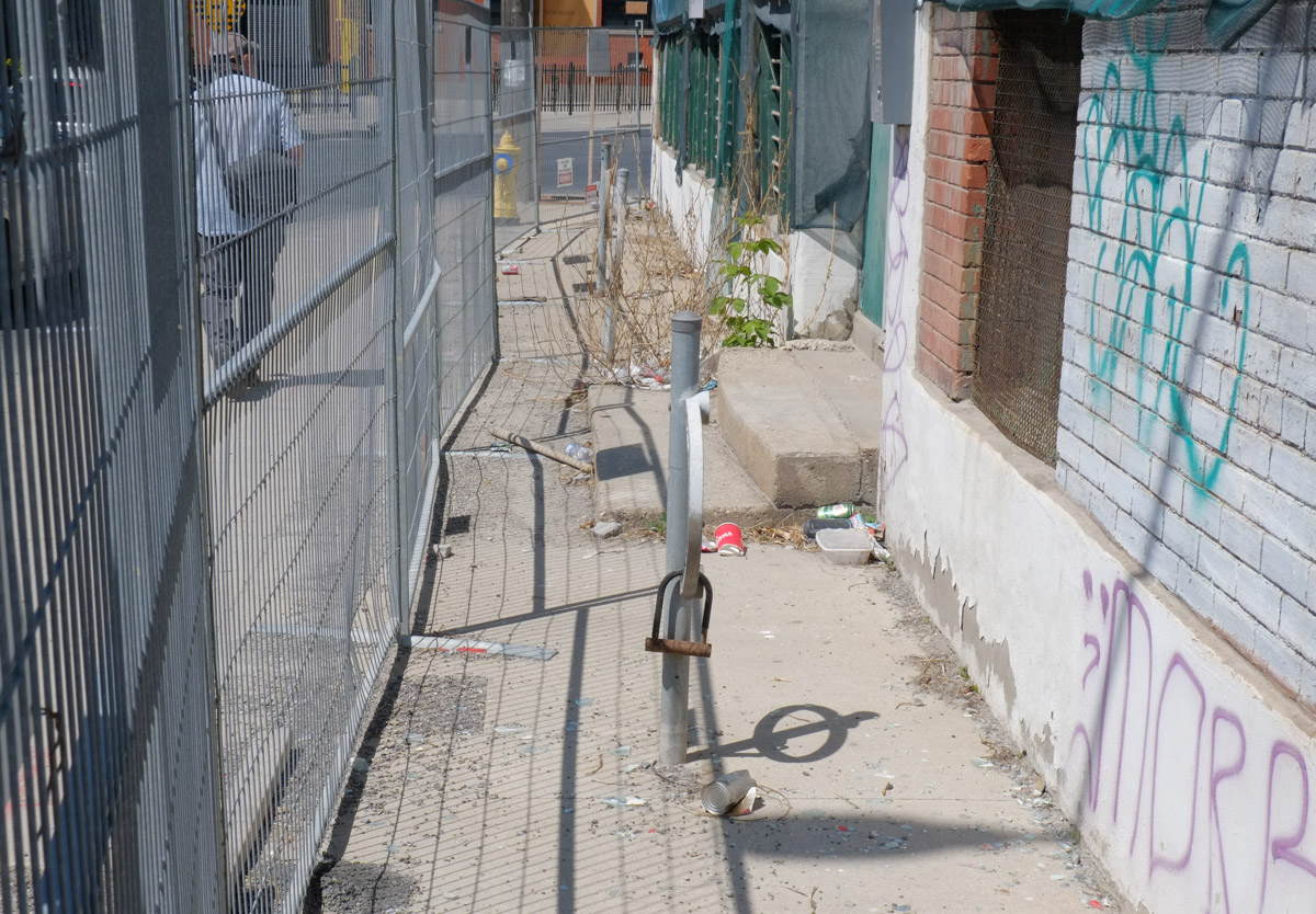
outdoor sidewalk space, narrow, between old building and construction fence

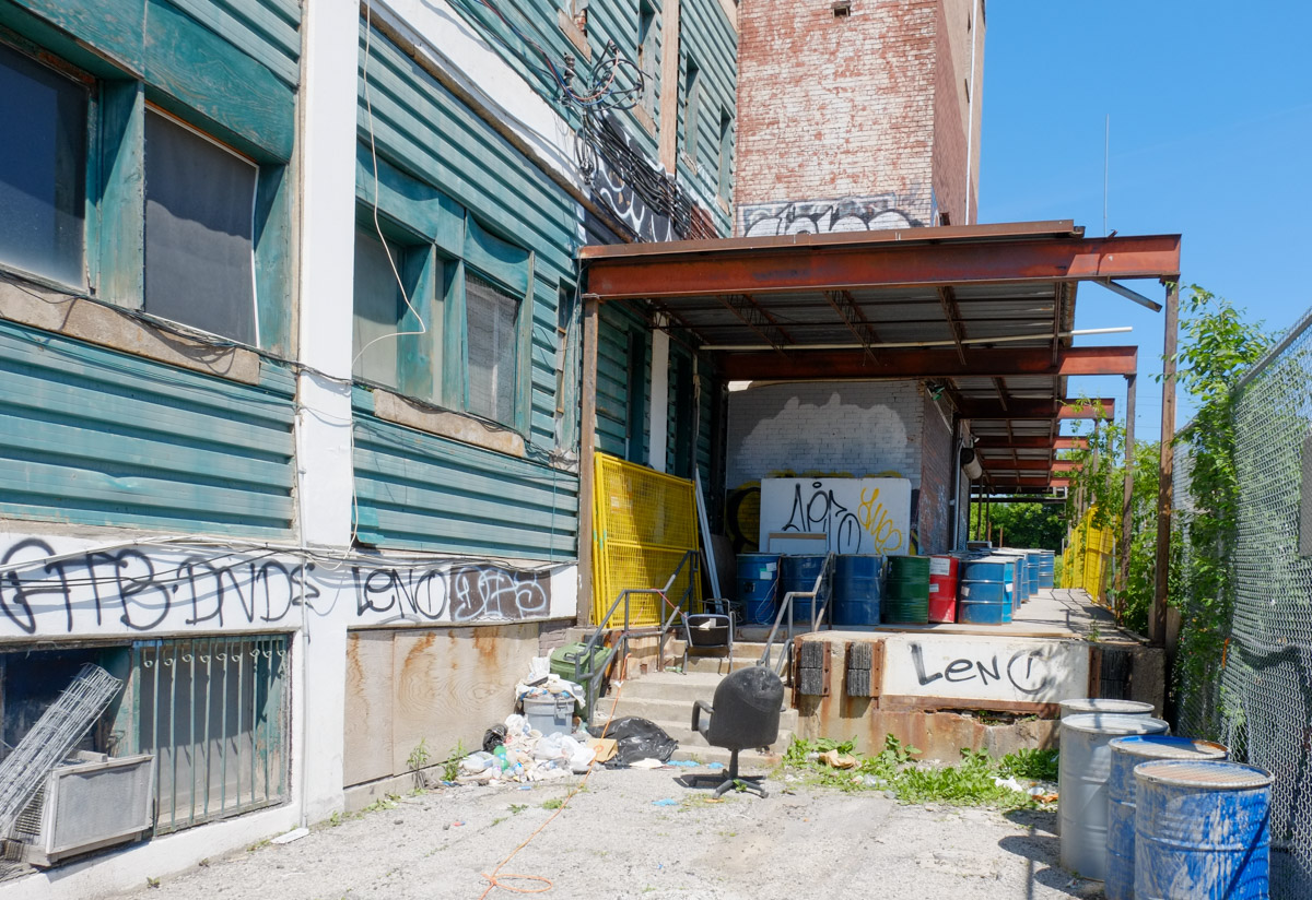
side of a an empty building at 888 Dupont waiting for demolition, small space beside building with old chairs and other junk under a steel beam overhang

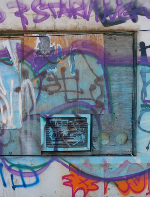
The building has also become a canvas for some graffiti including some protesting redevelopment in general and condos in particular.

below: Toronto vs Condos

two stickers on a city development notice that instead of saying toronto vs everybody, say toronto vs condos

below: “I told you that… with guns get what they want”.  Some of the words are covered but the meaning is still clear.

poster protesting condo development, picture of a gun, text that says I told you that those with the gun wins

below: Poster – Who can afford to live here?  Which one of you can afford this?

graffiti poster with lots of text, weathered and difficult to read

below: Large one-eyed daisy by Life© (life in the streets)

large one eyed daisy. blue eye, graffiti on an abandoned building

a poster on a construction site for Tilley clothing, graffiti too

posters, advertising grapefruit gin cocktail drink by Muskoka brewery, on a wall at a construction site with graffiti

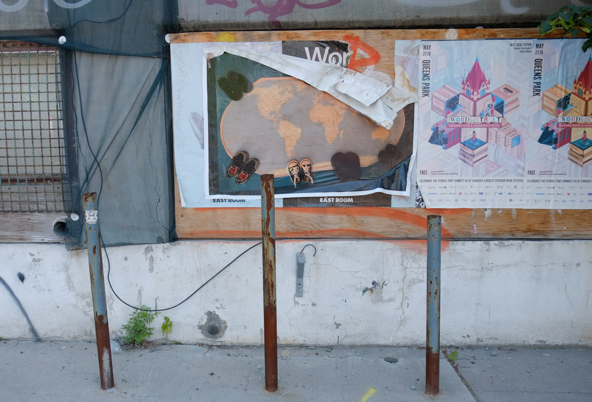
posters on the wall of a construction site including a large map of the world with pairs of baby shoes around it (large photo)

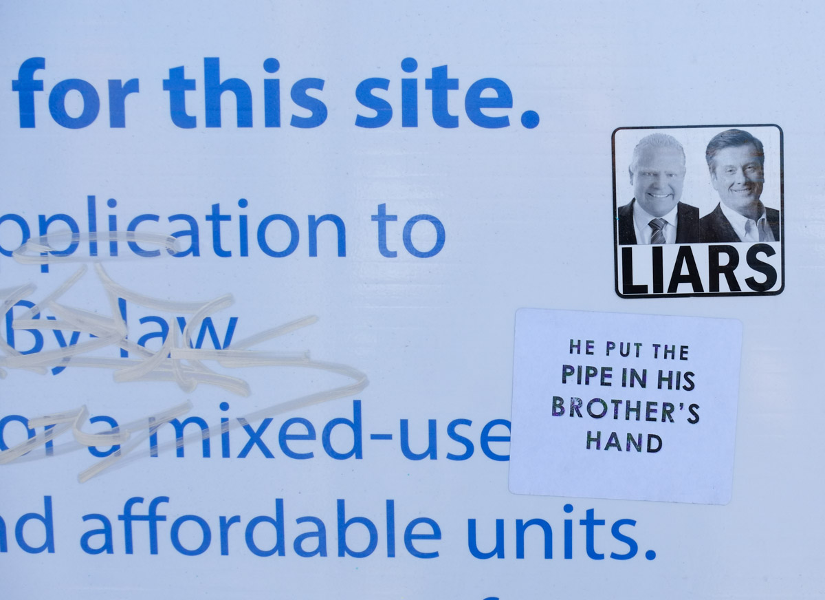
below: Liars – Doug Ford (Ontario Premier) and John Tory (ex-Toronto mayor).

sticker on a city blue and white development notice sign, faces of Doug Ford and John Tory with the word Liars

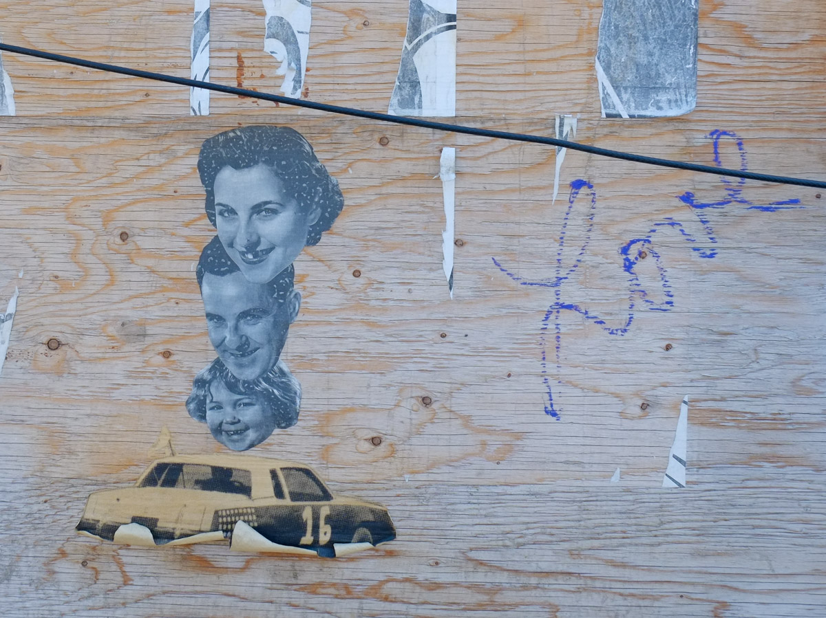
below: Happy little family? Pasteup by 33wallflower33

pasteups on a piece of plywood on a wall, car, three members of a family, mother, father, and daughter in a line, just their faces

southeast corner of building, 888 Dupont, now empty and covered with graffiti

graffiti on a wall

orange construction sign, pedestrians use other sidewalk, with stickers and pasteups on it, an old car in black and white

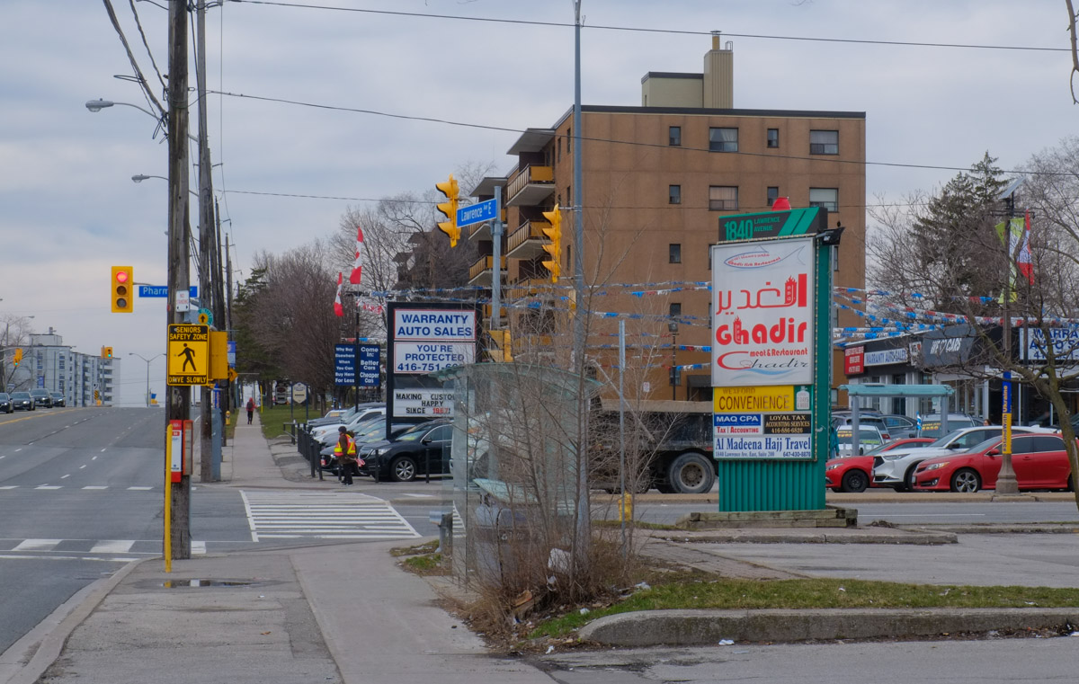
Lawrence Avenue East between Victoria Park and Warden Avenues is a fairly typical Scarborough “thoroughfare” street, or arterial road.   It has seven lanes of traffic and is lined mostly by strip malls set back from the street to accommodate parking lots in front.  It is designed for cars.   Also typical of Scarborough are the many different ethnic restaurants and shops.  I decided to walk these few blocks after I heard about  The Lawrence Prospect which is a group advocating changes to this stretch of Lawrence Avenue…  Changes like dedicated bus lanes and bike lanes as well as sidewalk improvements to increase pedestrian safety. They are promoting the idea of a “complete street” which simply means that the street works for all users, not just for cars.

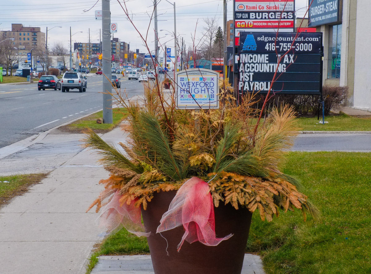
below: This stretch of Lawrence lies in the Wexford Heights neighbourhood

large black planter beside sidewalk with faded red ribbon, winter greenery pine and a wexford heights sign

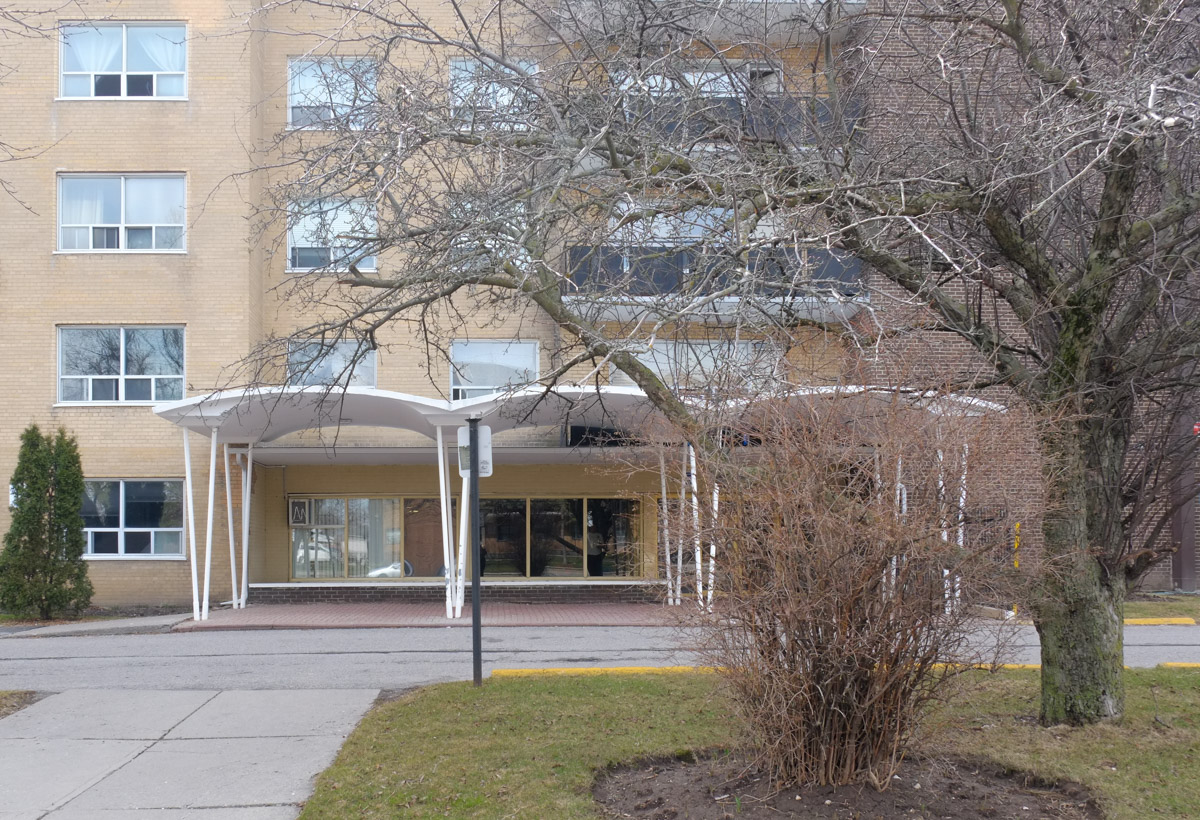
below: The wavy roof over the entrance is a throwback to the late 1960s and 1970s when there was a lot of development in the area.  It was an era when the car ruled.  Land was cheaper and more abundant.  Strip malls and ‘plazas’ were popular.

front of an apartment building, with entrance, from the 1970s, with wavy roof over the entrance

Like many areas of Scarborough (and Toronto for that matter), it is very multicultural.  You can find a cast array of different ethnic restaurants and stores here.

Lawrence Avenue East

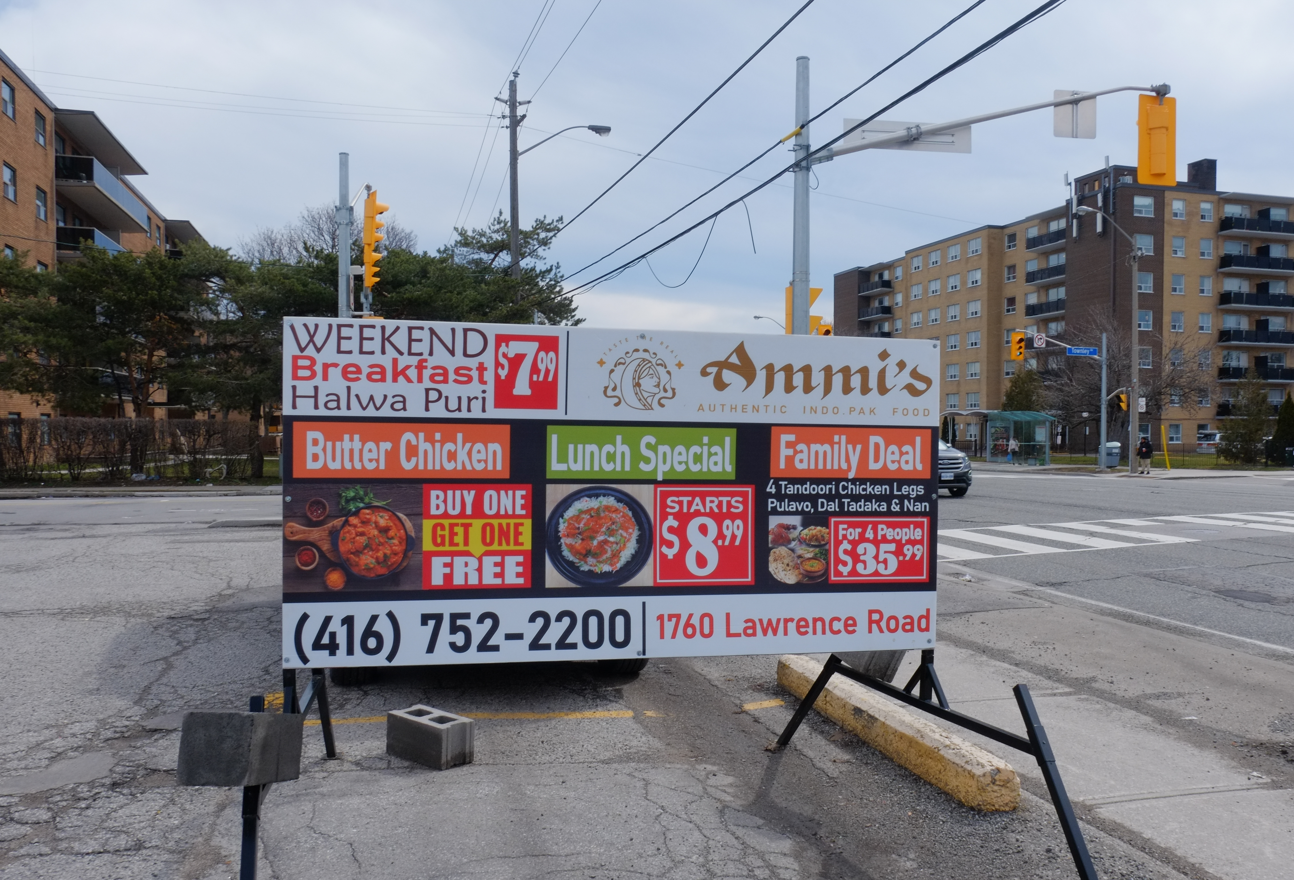
below: Weekend breakfast, Halwa Puri, Butter Chucken, Lunch Special, and Family Deal with tandoori chicken!

restaurant advertisement sign in parking lot on Lawrence East, for Ammi's Restaurant

below: Ibrahim BBQ Shawarma, halal, with Iraqi kabab and Shawarma wraps, 2 for 1!

Ibrahim BBQ and Shawarma restaurant window with pictures of items on the menu

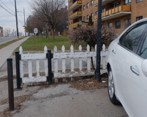
below: Very few remnants of a much slower and sleepier past remain.  Little white picket fences are rare!

old low beat up white picket fence between parking lot and low rise apartment building

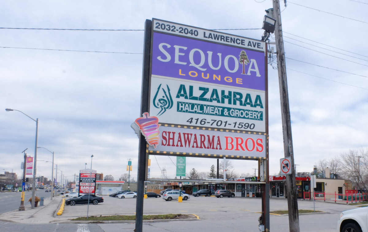
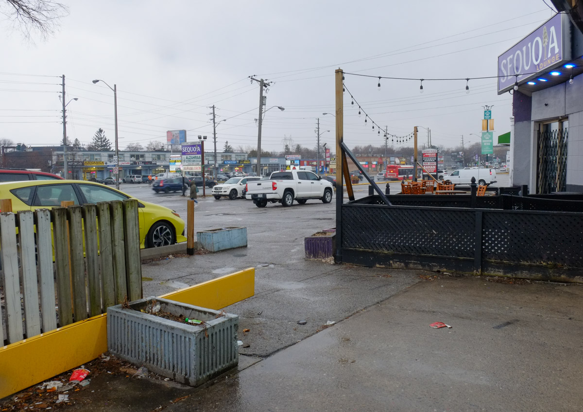
large billboard type sign in parking lot in front of strip mall, for Sequioa Lounge, Alzahraa halal grocer, and Shawarma Brothers,

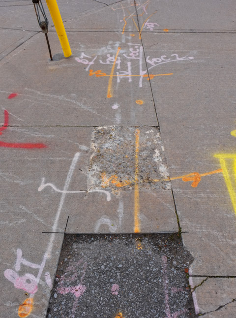
below: Part of the impetus for the Prospect project was the fact that some street work was going to be completed here this spring/summer.  Why do a partial job only to have to redo it a year or two in the future?  As of today (28April) there is no construction happening here.  The only sign of work is at the corner of Lawrence and Warden where the sidewalk was widened.

metal construction fence around a newly widened sidewalk with bus shelter in the middle

spray paint marks on sidewalk in orange, yellow, pink, and white, marking different utility lines or construction points, sidewalk

Bike lanes on Lawrence Avenue from Victoria Park all the way to Rouge Hill (16.2km) were approved in 2008 but were never built.

speed bump ahead sign by parking lot of Tim Hortons, also a no trespassing sign

below: The Moon Lounge with its neighbours – Mayfair Drapery & Rug below with Tru Belle on top – skincare, hair care (pink!), and body sculpting advertised.

two storey store front on Lawrence with lowrise apartment building in the background

below: Unloading can, bags, and boxes

men unloading bags and boxes of groceries to an Asian, Indian, food store

below: Window of Top Gun Burger

looking in window of top gun steak and burger restaurant, logo is a tank with the bod of the tank is a hamburger

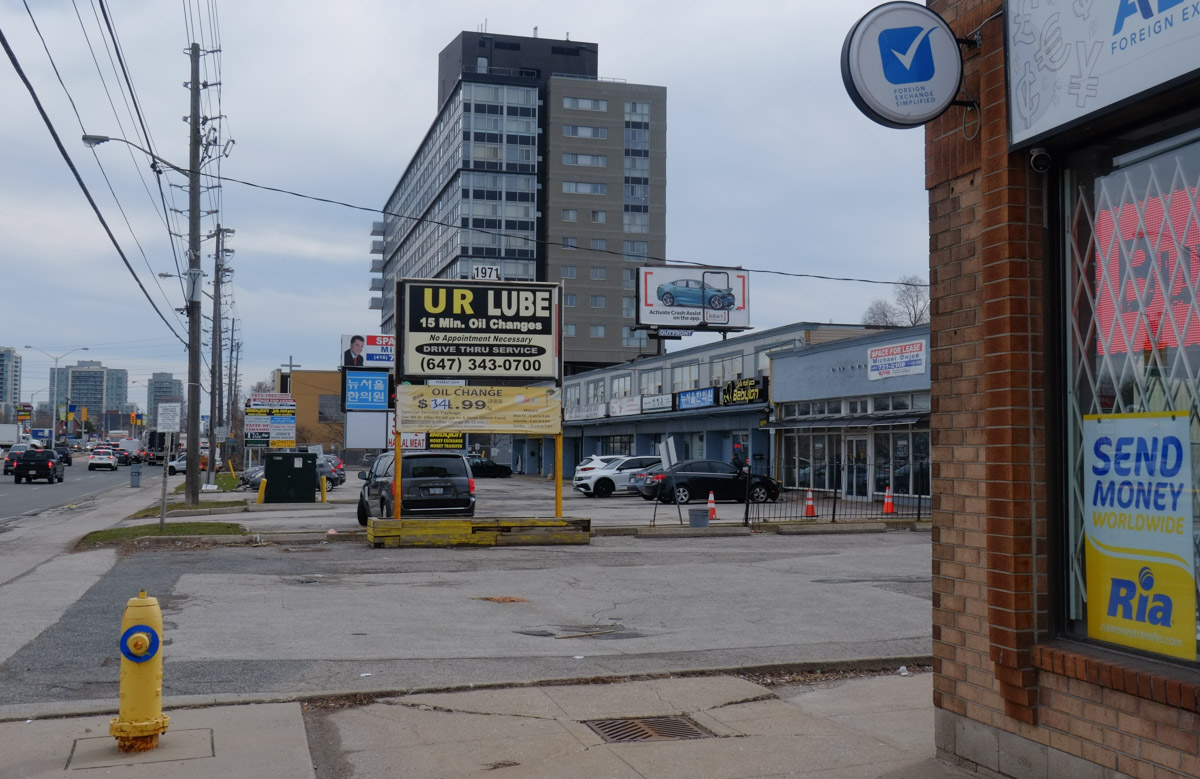
parking lot, strip mall, and newer condo building on Lawrence

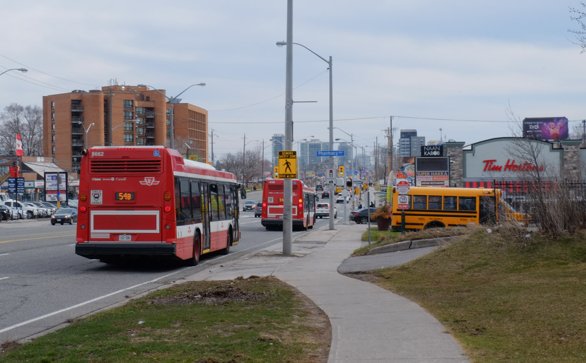
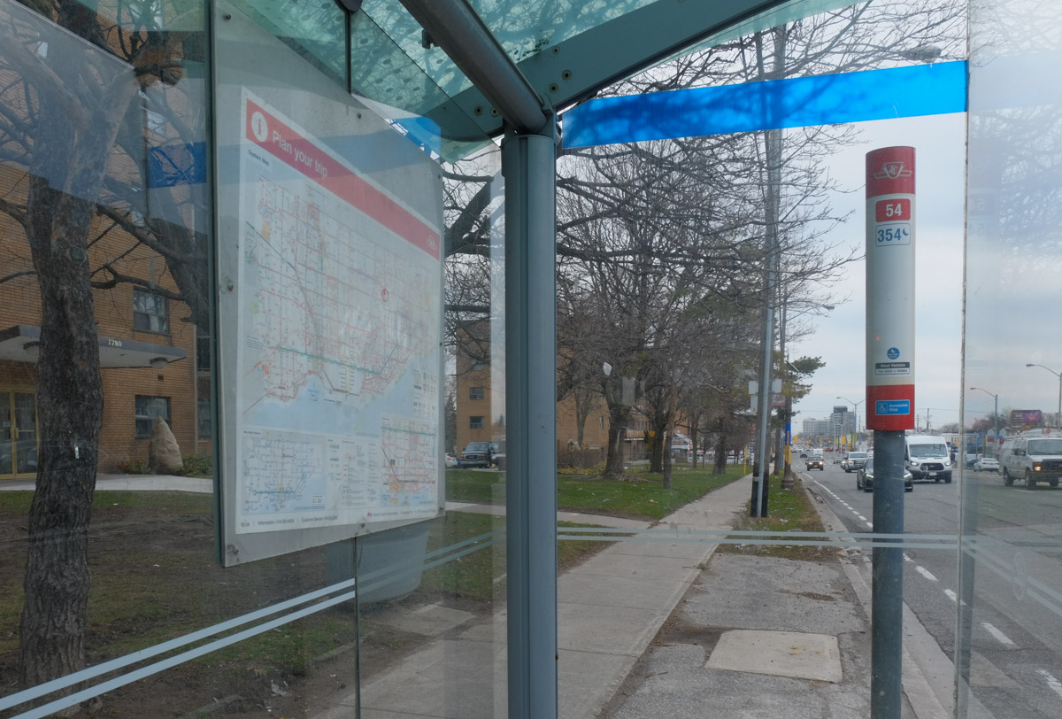
below: Lawrence East is served by TTC route 54.  It runs east from Eglinton station (at Yonge) to Leslie Street, north on Leslie, then east on Lawrence.  The route ends at Starspray Blvd – you’ve probably never heard of it but it’s on the waterfront just before the Rouge River.  That’s a distance of almost 28 km.

2 TTC buses on Lawrence, a school bus parked beside,

view of lawrence avenue east as seen through a bus shelter

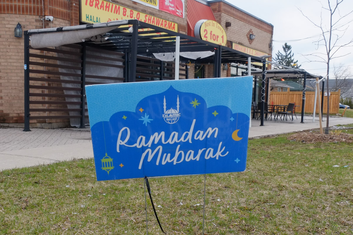
below: Greetings for Ramadan, the ninth month of the Islamic calendar, during which Muslims fast during daylight hours (among other things).  This year it was observed between 22 March and 20 April.

Ramadan Mubarak sign on lawn of restaurant

below: The planet is in our hands

painted Bell box on a sidewalk, a woman in yellow dress has her hands up in the air, holding onto the Earth with the text the planet is on our hands

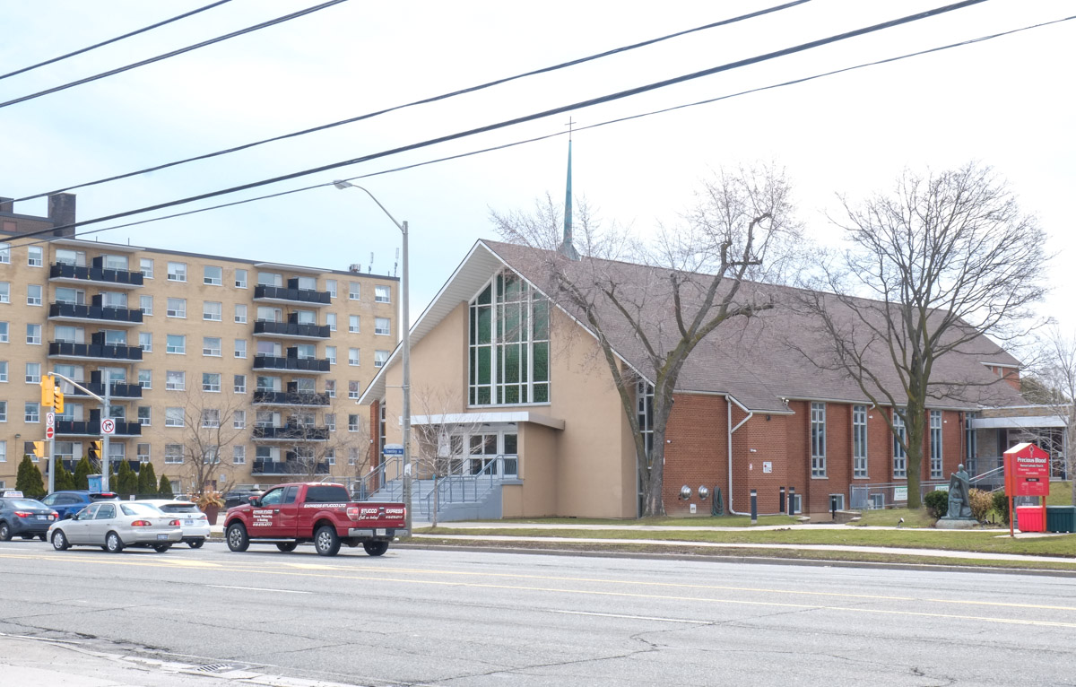
below: Precious Blood Roman Catholic Church

Roman Catholic Church on Lawrence,

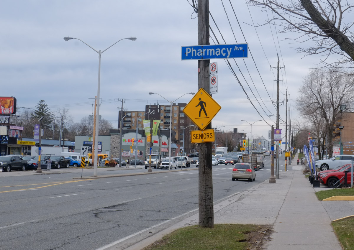
below: Looking west at Pharmacy with a Seniors crossing sign.

intersection of Pharmacy and Lawrence Ave East, yellow and black seniors sign,

below: Do any drivers notice these signs?  What are they supposed to mean?

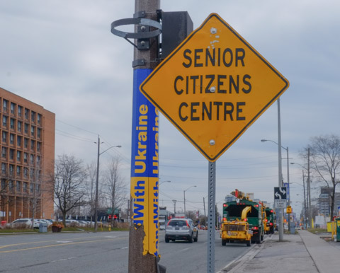
yellow Senior Citizens centre sign beside yellow and blue wrapped pole

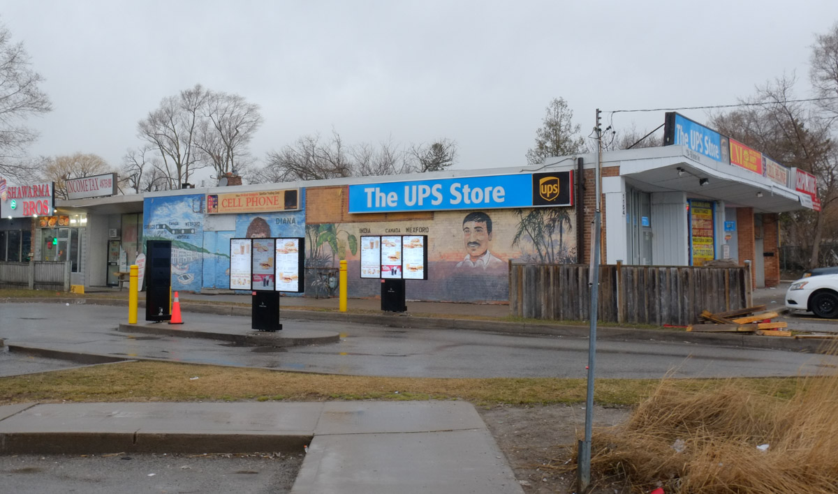
below: Wedged between the UPS store and Tim Hortons drive thru are these murals by Ian Leventhal. (NW corner Warden & Lawrence)

On the side of the UPS store, and beside Tim Hortons drive through, there are two murals on a wall

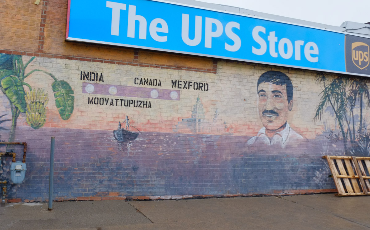
below: Moovattuphuza is a town in Kerala India.

Man's portrait on mural with route that he took from India, Moovattuphuza, Canada, Wexford

below: Diana is holding a large fish and is pictured beside a fishing village in Greece.

mural on a wall beside a tim hortons drive through

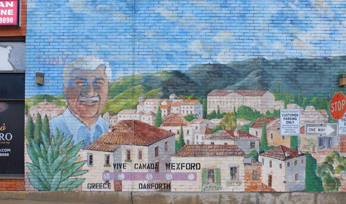
below: Nearby (SE corner of Warden & Lawrence) is Tony’s portrait.

Man's portrait, Tony, on a mural along with picture of a village in Greece, words, Greece, Canada, Danforth, Wexford,

below: Modernnisa women’s clothing store – evening gowns, kaftans, abaya, and hijabs

window and front wall of Modernnisa women's clothing store with floor length dresses and head scarves

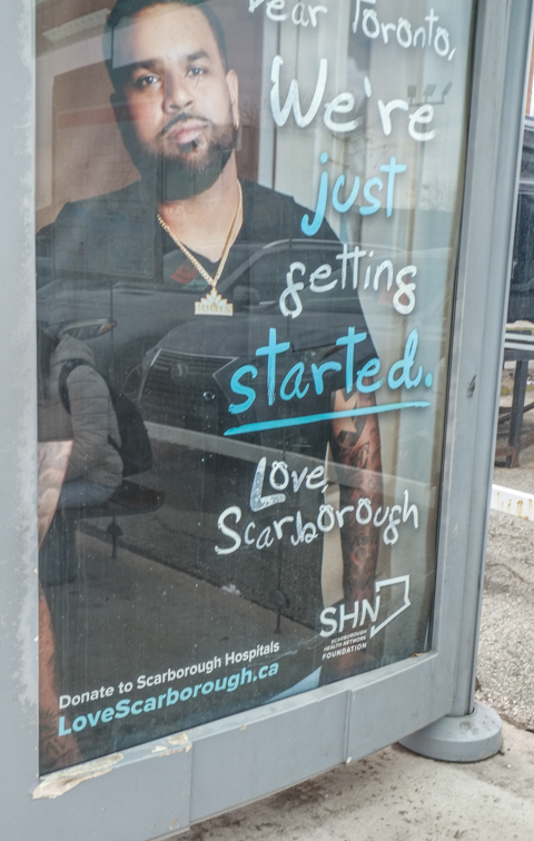
below: “Dear Toronto, We’re just getting started, Love Scarborough”.  It’s an ad campaign for Scarborough Hospitals that is appearing in bus shelters.  Along with the play on the “Love Scarborough” phrase there is a sense that maybe Scarborough’s time has come.    In 2017 Catherine Hernandez’s novel “Scarborough was published; it has since been adapted into a movie.  The movie was shot primarily in Scarborough and premiered at TIFF in Sept 2021.

advertisement in a bus shelter for Scarborough Hospital, photo of a black man in scrubs, with text that says dear toronto, we're just getting started, love scarborough

used cars with no licence plates in a lot on Lawrence

below: Multicultural yet very Canadian.

cars for sale with Canadian flag licence plates on front,

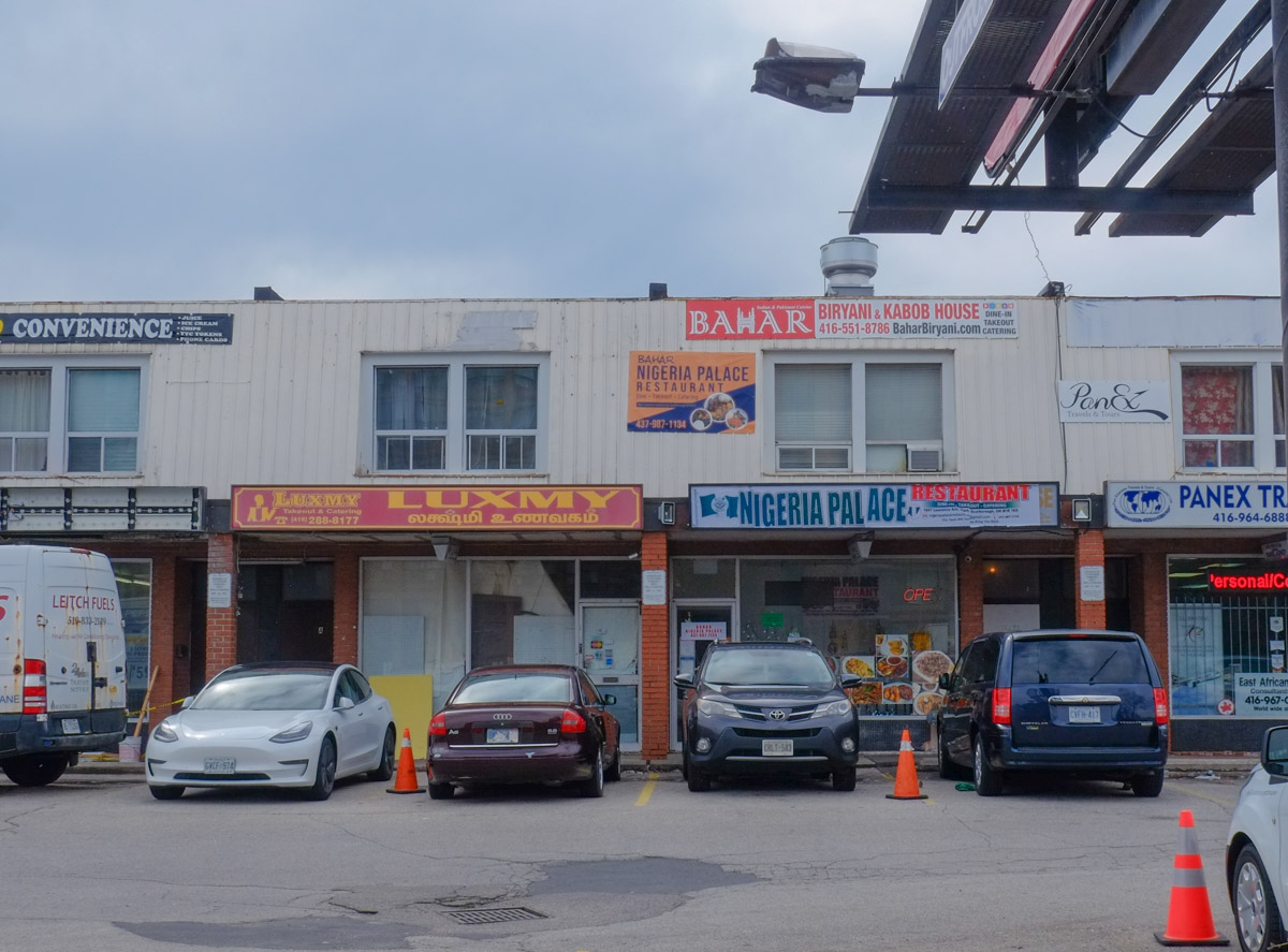
below: Nigeria Palace, Bamar Biryani and Kabob, Luxmy Restaurant

businesses in two storey pale grey brick strip mall

below: Northwest corner of Warden & Lawrence

parking lot

There was one thing missing here – I didn’t see one single blue and white City of Toronto development notice sign!  Nada!

purple bin to donate clothing, broken sign, puddle in cracked pavement, street in the background, trees with no leaves

below: There is no construction happening here – left over from a previous job?

bent orange and black construction zone sign, on a hydro pole on Lawrence, also a yellow and blue slava Ukraine pole wrapper

raining, people walking past front of TTC bus

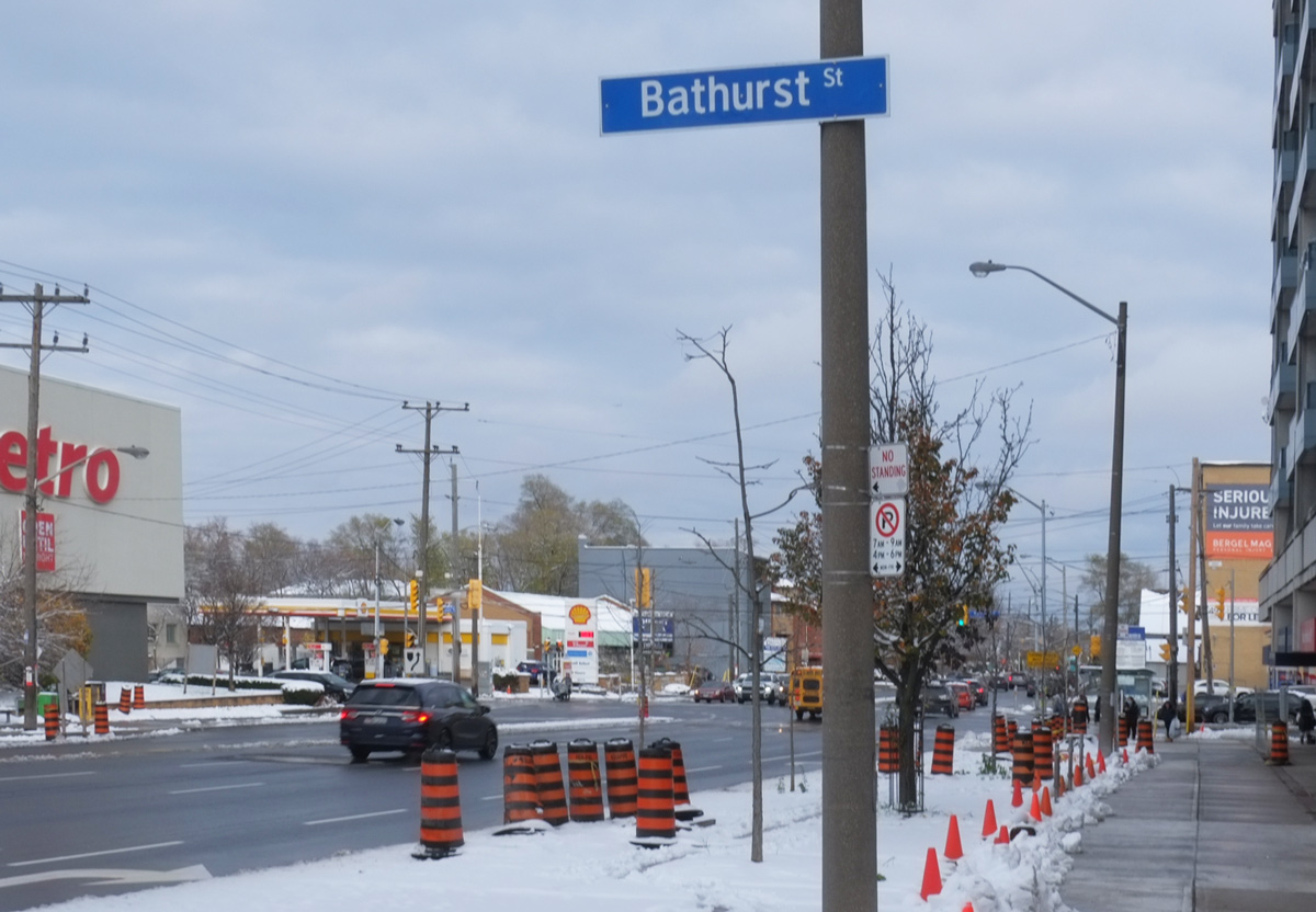
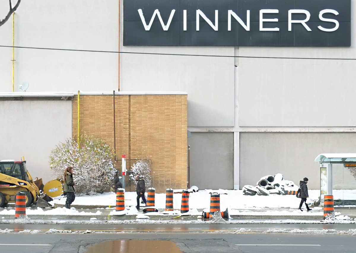
below: Bathurst at Lawrence on a snowy November day. (looking east)

below: Standing in the same spot but turning slightly,  Lawrence West, north side, west of Bathurst

black and orange traffic construction cones in the snow on the right lane of Lawrence, Bathurst Plaza in the background

below: Southwest corner of Bathurst and Lawrence

southwest corner of Bathurst and Lawrence, midrose apartment building that curves around the corner, retail at street level, two older people with walkers crossing at the intersection

below: Seniors Safety Zone.  How effective can a sign like this be on a busy four lane road?  If you want cars to slow down why not just reduce the speed limit?  But yes, there are a lot of seniors living in the area.

a woman walking up snowy sidewalk on Bathurst, past a pole with a yellow Seniors Safety Zone sign

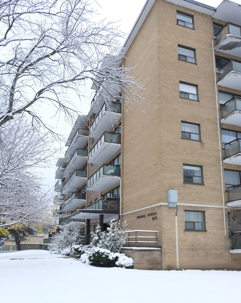
below: There are many apartment buildings from the 1960s and 1970s in the area. They are old enough that the trees have grown up around them.

large old poplar tree in front of a brown brick midrise apartment building

brown brick mid rise apartment building from the 19703, in winter with snow, trees with no leaves, Bathurst Street

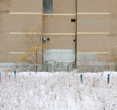
below: There are signs of redevelopment

vacant snow covered lot in the foreground, black brick wall of apartment building in background,

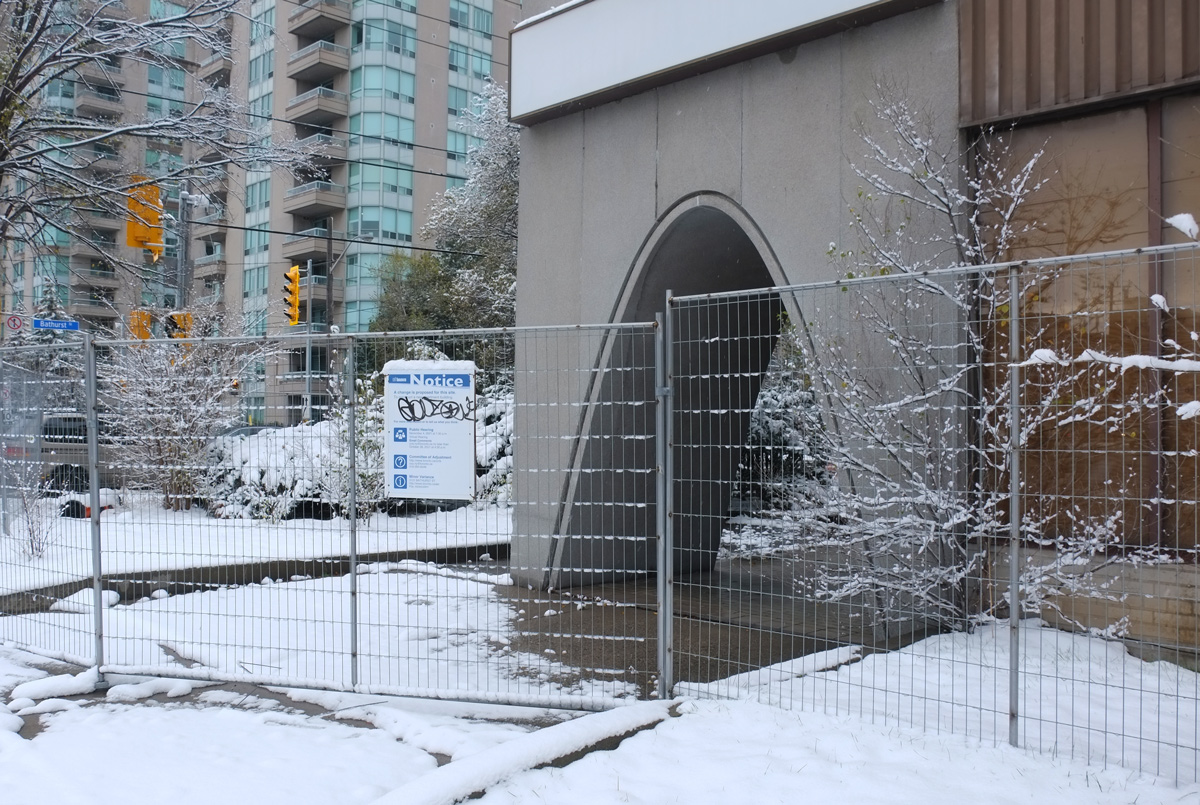
below: Some are of an age that it is more convenient to tear them down – for better or worse.  Long gone are the days when curved arches like this were popular with builders.

metal construction fence around a large curved arch in a 1970s apartment building empty and waiting demolition

below: Many of the residences on Lawrence are four or six plexes but here too, there are signs of changes afoot. Here the proposed new building is 4 storeys high and has 10 apartments.

blue and white city development notice in front of a residential 4 plex, in the snow,

residence on Lawrence West, 6-plex, winter

chairs stacked in front of a building on Lawrence, in the snow, beside a chain link fence

below: Alley behind Lawrence Ave

alley behind Lawrence Ave West, south side, backs of 4 plexes residences, with balconies overlooking the alley

old white door, entry to multi residence building

a blue arm chair and a wood chair in the snow beside a snow covered pile of rubble, a yellow bin, in front of a small apartment building

fence in an alley, winter time, painted in teal, pink, and yellow

below: Last season’s left overs.

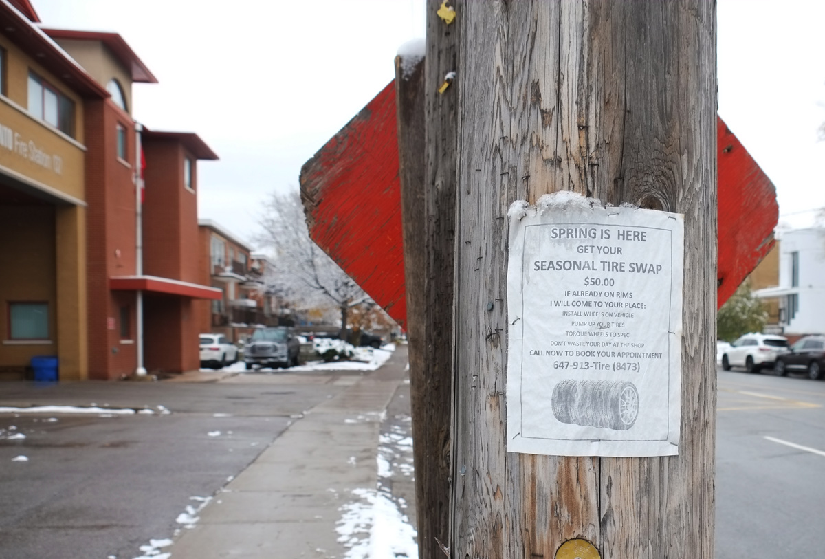
poster on wood utility pole advertising spring tire change, even though it is now winter

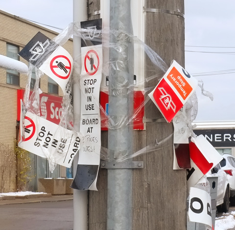
a utility pole that is also a TTC bus stop with a lot of clear tape wrapped around the pole with many torn TTC signs saying that this stop not in use

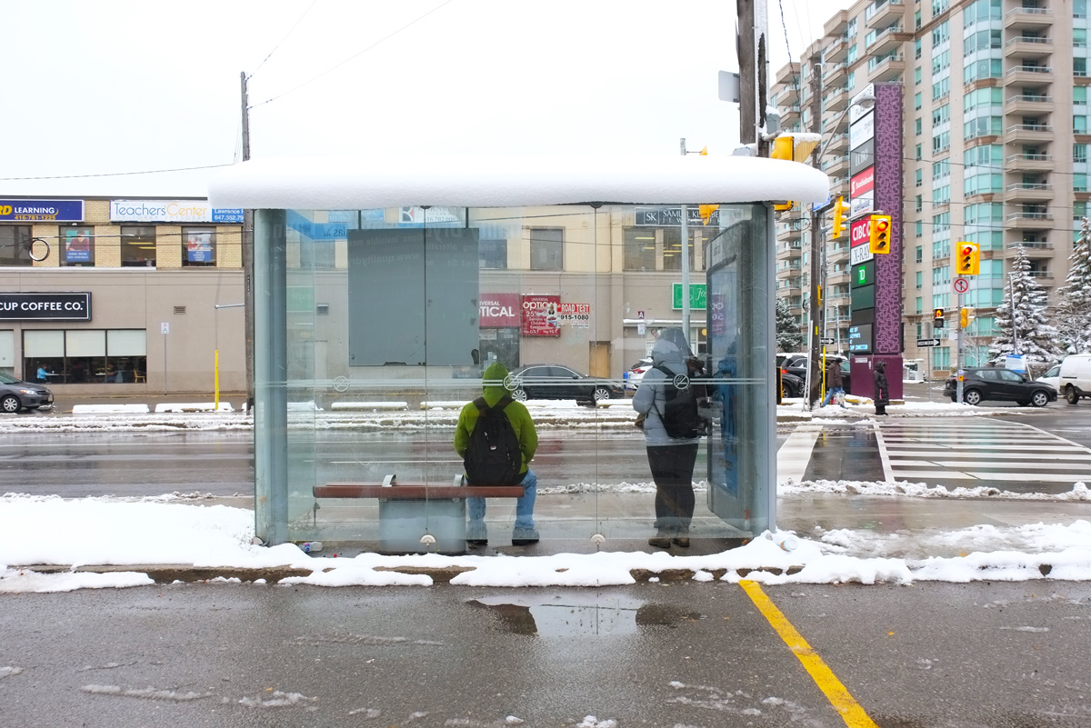
two young men sit in bus shelter, backs to camera, waiting for a bus, stores can be seen across the street, Bathurst Street

below: Celebration Presbyterian Church, built in 1951.

Celebration Presbyterian church on the corner of Coldstream and Bathurst, small brick building, red front door,large pine trees on either side of the front entrance, snow,

below: Looking north on Bathurst towards Lawrence Avenue

west side of bathurst street, looking north towards lawrence avenue,

below: Many languages – English, Russian, Hebrew, Spanish, French, and Tagalog

windows of an old medical building, empty, for lease sign on it, signs in window say we speak many languages, english, hebrew, russian, spanish, french, tagalog

New York Bagels, Haymishe Bakery, and Cocoy filipino restaurant on Bathurst street

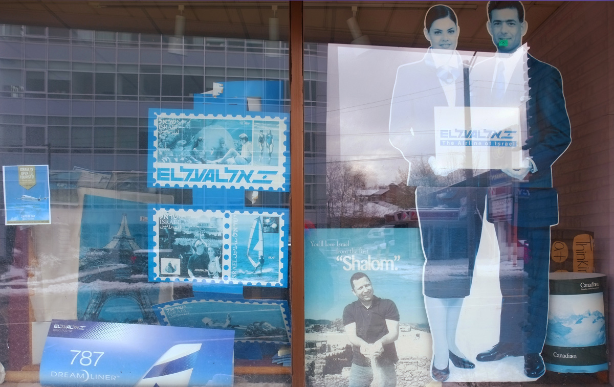
faded, blue tinted, travel posters in hebrew in a store window

empty store window with hebrew lettering on it

a poplar tree with most of its leaves gone, just some yellow leaves remaining, snow, apartment buildings in the background

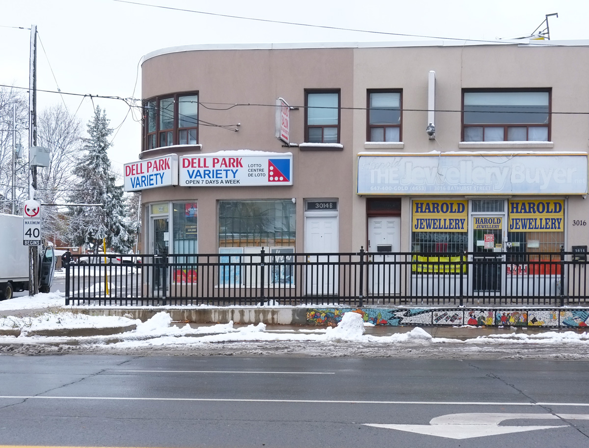
below: Dell Park Variety – just above the sidewalk to the right of the variety store is a mosaic mural, “Almonds and Wine”.  More photos of it are in the previous blog post.

curved building, Dell park variety store on the corner of Bathurst and Dell Park

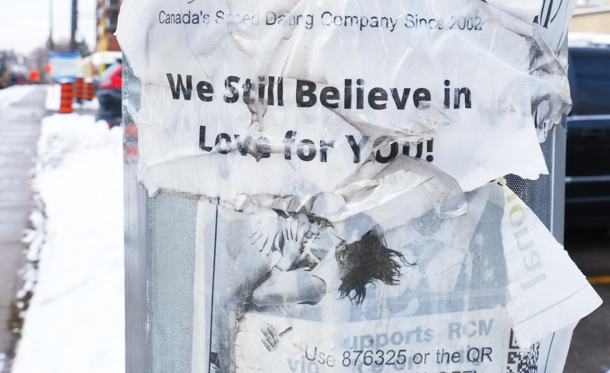
torn poster on hydro pole that says we still believe in love for you, ad for a speed dating service, ripped, torn

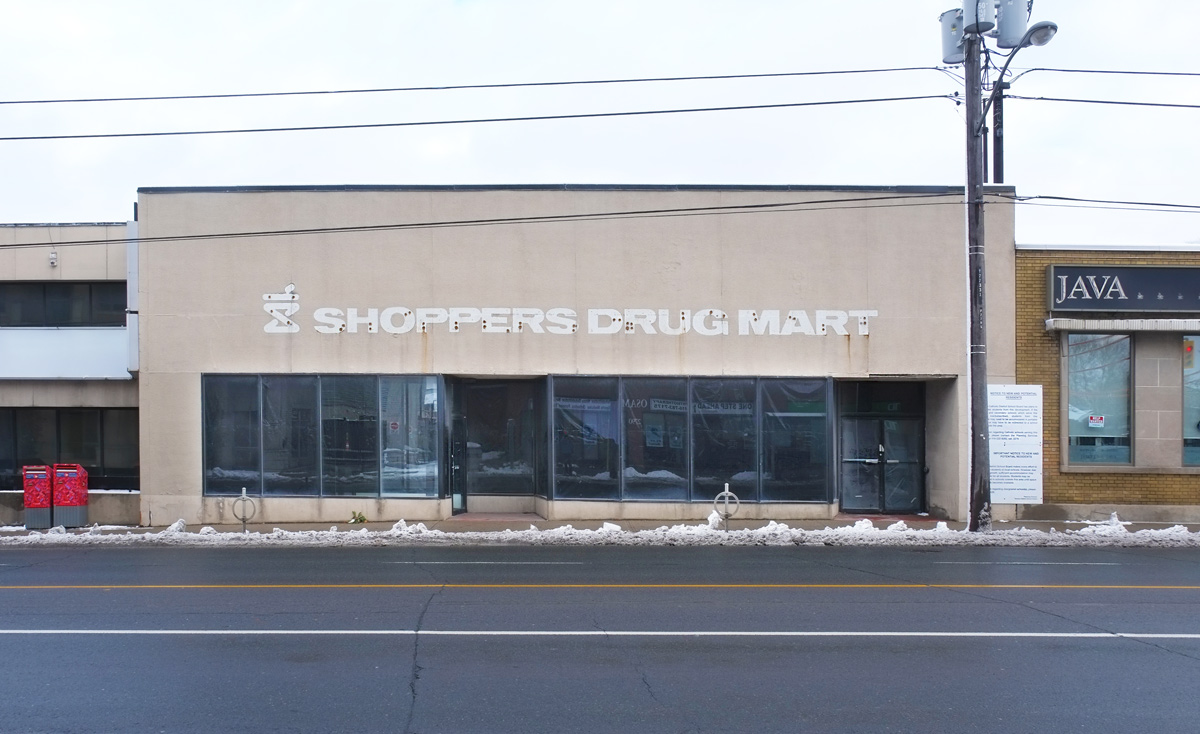
old empty Shoppers Drug Mart on Bathurst with ghost sign

below: South on Bathurst approaching Glencairn.

lower corner of a brown brick apartment building with Bathurst St street scene in the background

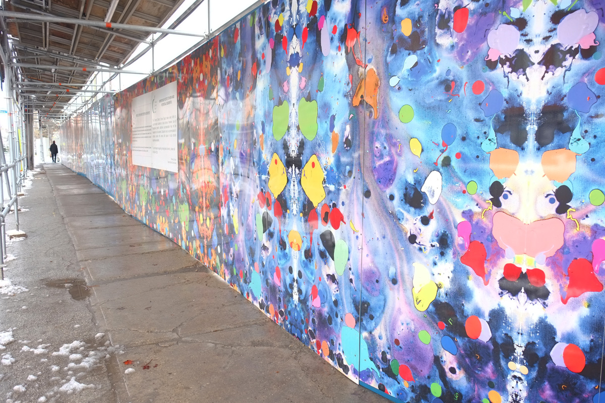
below: Hoardings on the southwest corner of Bathurst and Glencairn. The artwork is “Ayurveda” by Kirk Sutherland.

sidewalk and hoardings on Glencairn at Bathurst, artwork by Kirk Sutherland

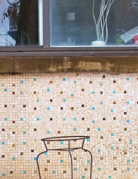
below: Old tilework, little tiles, on an exterior wall – remnants of an earlier age.

metal frame plant holder outside in snow, in front of a wall covered with small tiles in beige, brown, and blue

Eastward from Bay with a diversion or two.

These photos were taken on two different walks and you will have no trouble figuring out which images belong to which day! The first walk was on a damp morning back in September; the second walk was on a pleasantly warm and sunny October afternoon.

below: Looking up Bay Street to Old City Hall and its clock tower.

looking up Bay street from Adelaide including old city hall tower

below: New public art  “Dreaming” by Jaume Plensa made of polyester resin and marble dust.  Brilliantly white.

large white head public art on Adelaide, side view

large white head public art on Adelaide

Hidden by scaffolding …   par for the course that no matter where you walk there will be construction.

construction on Adelaide, front of building covered with scaffolding

Even though there have been a lot of changes on Adelaide, there are some old details that have been preserved such as these mosaics that are temporarily behind scaffolding. They are above the entrance to the Bell Canada Building at 76 Adelaide West. Five panels, each twenty feet tall and five feet wide, of glass mosaic tile are embedded in the cement of the building. They were designed by York Wilson and installed in 1965 when the building was constructed. The theme of the piece is communication and each panel represents a different form of communication – writing, drawing, music, voice, and satellites.

mosaic tile decorations on exterior of building, behind scaffolding

At 100 Adelaide West is the remains of the Concourse Building. When the area was redeveloped recently, only the front and east facade of the original Art Deco 1928 building were preserved. The original entrance way on Adelaide remains; they feature mosaics created by Group of Seven member J.E.H. MacDonald and his son Thoreau.

art deco doorway - tile mosaics, carved stonework, and metal decorations on window and door,

Art Deco stonework

art deco details carved in stone on exterior of building

The remains of a metal fence or railing.

old metal railing outside entrance of a building

below: Looking east, at Sheppard Street.

street scene

pressure cleaning, with water, outside a building downtown

below: It looks like a splash of paint – like someone threw a can of paint at the building.

exterior of Deloitte building at Adelaide and Yonge, glass exterior has new artwork that looks like a large splash of water

below: The octagonal entrance to 1 Adelaide East (at Yonge) with its stained glass roof is being renovated.

below: Distraction!  Film crew on King Street (looking down Victoria St).

street scene to film crew working

below: Film trucks line both sides of Toronto Street

film trucks parked on both sides of Toronto street

below: Toronto hieroglyphics

yellow hydrant on sidewalk, with pink lines spray painted beside it

below: A short, tidy alley off Adelaide near Victoria

short tidy alley between two older stone and brick buildings

below: Fountains and public art in Adelaide Courtyard.  Collectively, the work is “Synthetic Eden” and it was created by Stacey Spiegel back in 1991.   The fountain with the metal mesh covering it – the mesh is supposedly the head of Adam.

fountains and public art in Adelaide Courtyard

below: The snake lurks over the garden.  The entrance to Adelaide Courtyard is beyond the etched glass panels.

Adelaide Courtyard

below: St. James Cathedral from the corner of Church and Adelaide.

St James Cathedral seen from the intersection of Church and Adelaide

below: Slight diversion north on Church where there is now a large vacant lot at Lombard.  How many cranes?

Church and Lombard vacant lot

below: Church Street, north from Adelaide.  A vacant lot on one side, a partial development on the other.

street scene with TTC street car

people walking past the ontario heritage plaque for the York Mechanics Institute at the corner of Adelaide and Church, now a patio for Tim Hortons

“The Mechanics’ Institute movement began in Britain and soon spread to North America. Its aim was to teach workers the applied technology behind new methods of manufacture and craftsmanship introduced during the Industrial Revolution. The first Institute in Ontario was established at York (Toronto) in 1830. It sponsored lectures, held classes and operated a lending library. It moved from rented quarters into its own new building on this site in 1861. After passage of the Free Libraries Act in 1882, the Institute transferred its assets to the municipal government. Its book collections formed the foundation of the Toronto Public Library, which opened in the former Institute building in 1884.”

below: Circa 1900, the music room of the York Mechanics Institute as a newspaper reading room

old black and white picture of the interior of the York Mechanics Institute that became a public library, newspaper reading room

photo credit: Photographer unknown, image from digital archives of the Toronto Public Library.

.

below: “Brickman” by Inges Idee stands outside a residential building at Jarvis and Adelaide.  He stands 10m tall and is actually made from precast concrete, not brick.


very tall brick sculpture of a man shape, called Brickman, outside a brick building

below: Looking northwest from the corner of Adelaide and Jarvis

looking northwest from the corner of Adelaide and Jarvis

looking through the glass windows of a gelato and coffee shop on a corner, two women walking past, chairs inside, sunny day, park across the street

below: Old Post Office.  This building was opened in 1832, before Toronto became a city.  According to Wikipedia “It is the oldest purpose-built post office in Canada that functioned as a department of the British Royal Mail and the only surviving example. After its initial use as a post office, it became part of a Roman Catholic boys’ school” until 1913.  It was used for various things (offices, cold storage, etc) until 1971 when it was closed up and left vacant.  When it was (re)discovered to be the old post office, it was designated as an Ontario Heritage Site as well as a National Historic Site.  Since 1982 it has been a museum as well as a functional post office.

Torontos first post office on adealide street, 3 storey brick building with Canadian flags flying on either side of the entrance

below: Future chefs, George Brown College

looking in the windows on the 2nd storey of George Brown College into the kitchen of the cooking school. students in chef outfits, white, with hats, standing around a class

below: Looking west from Frederick Street.  At this point we are in the old town of York, laid out by John Graves Simcoe in 1793.  At that time, Adelaide Street was called Duke Street, after the Duke of York.  Richmond Street, one block north was Duchess Street for his wife.  The Duke of York at that time was the second son of King George III, Prince Frederick.

Adelaide East, looking west towards downtown

below: Looking west from Sherbourne.  This was originally Caroline Street, named after  Caroline of Brunswick who was the wife of Prince George in 1793 (and later George IV).  When she became too unpopular, the street name was changed to Sherbourne, after the town in England with the same name but a different spelling, Sherborne.

people crossing Adelaide at Sherbourne, looking west on Adelaide towards downtown

I stopped to take a picture of an old car (remember when diesel cars were going to take over the world?) and I found an old shoe.  Keep walking and keep your eyes open because you never what you’re going to find along the way!

an old beige diesel mercedes parked on the side of a street, a single abandoned shoe on the pavement behind it

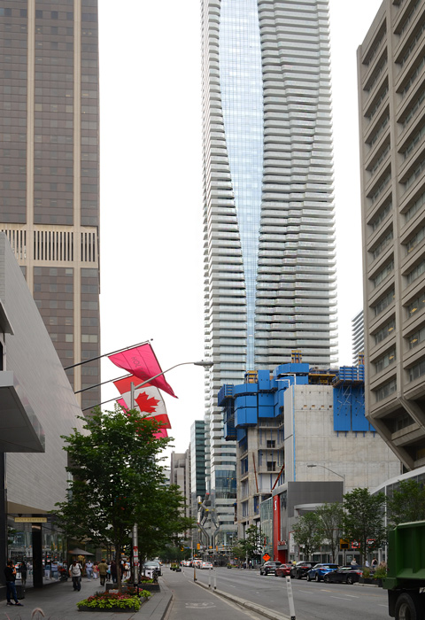
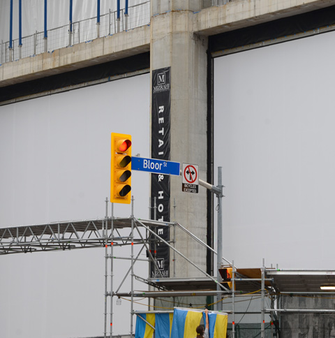
below: Looking west on Bloor towards Yonge. The pink flags fly in front of Holt Renfrew.  One Bloor East with it’s curvy vertical lines and 76 storeys dominates the sky.  The blue structure is the top of ‘The One’ at 1 Bloor West – It may be short now but it won’t be for long.   There will be 82 storeys once it’s completed (maybe in 2023?)

looking west on Bloor towards Yonge, front of Holt Renfrew Store, new tall building at 1 Bloor East

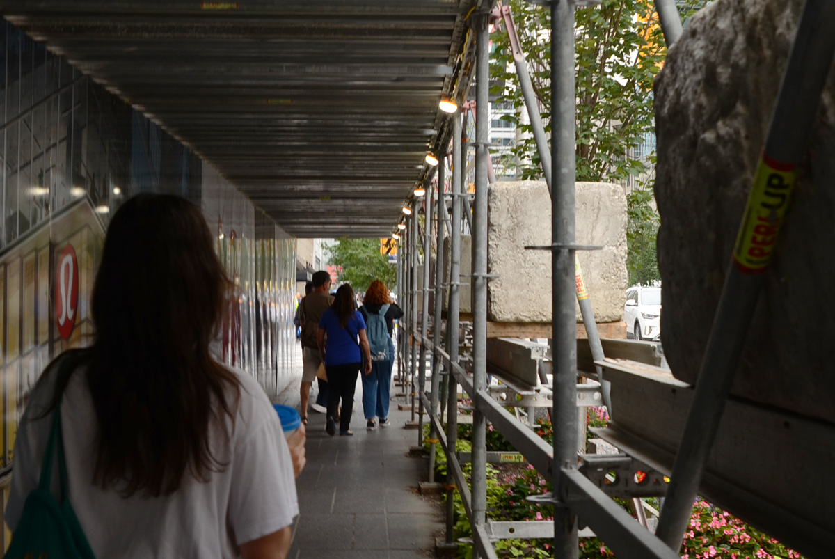
an older man with thinning grey hair walks on sidewalk, Bloor Street, towards Yonge, and scaffolding over sidewalk because of construction

A few minutes at Yonge and Bloor in mid-July

a young woman with long hair holds a cup of coffee as she walks on sidewalk under protective covering beside construction at Yonge and Bloor

below: Hoardings on the south side of Bloor Street

hoardings and scaffolding, and some people walking by, on south side of Bloor close to Yonge

below: Construction.  Blank whiteness on The One as it slowly rises.

Construction of The One at Yonge & Bloor, one Bloor West

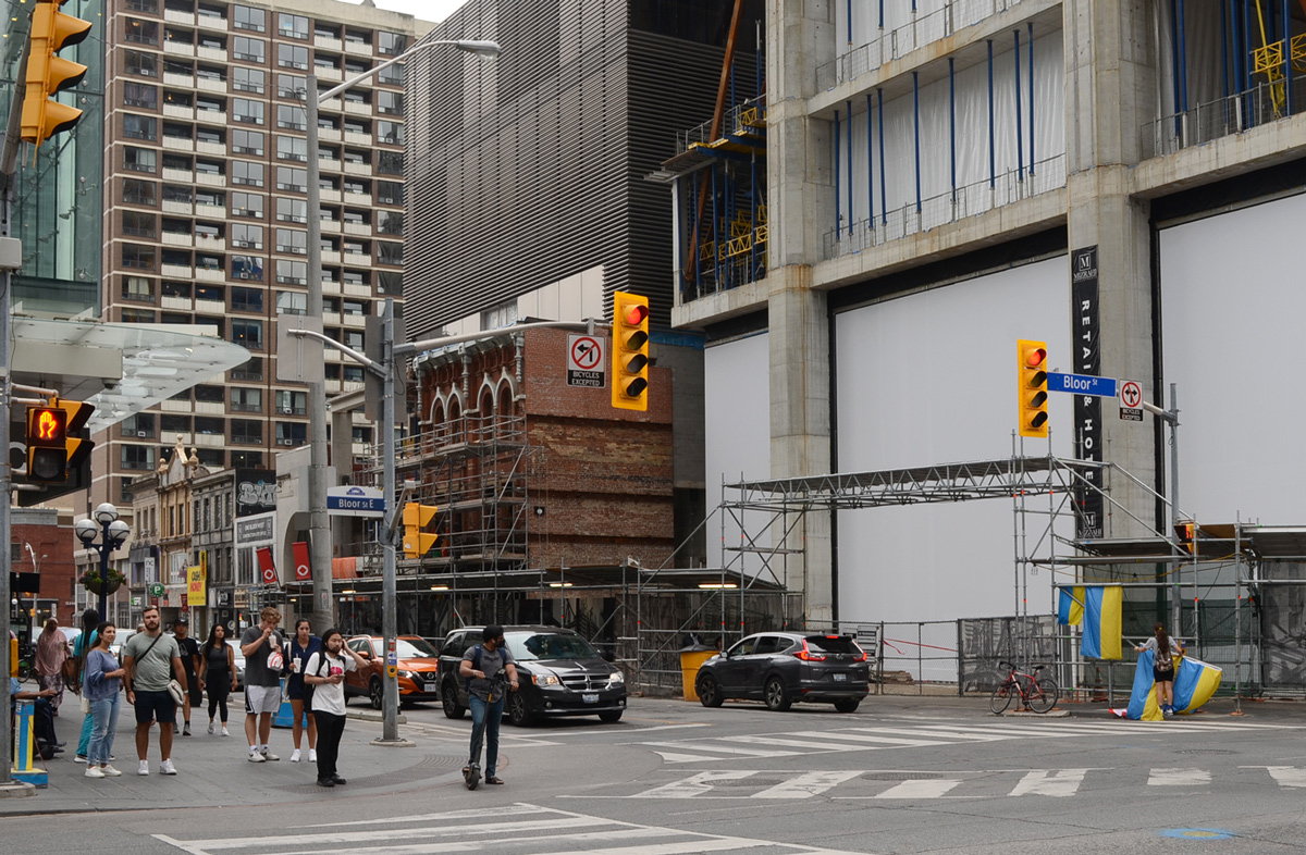
below: Hanging Ukrainian flags on the southwest corner of Yonge and Bloor.

southwest corner of Yonge & Bloor, woman hanging Ukrainian flags on scaffolding holding up sidewalk protection around construction site, an older man is crossing street in electric wheelchair with the help of a woman in blue

below: South side of the intersection.  At least the facade of the older buildings on Yonge Street are being preserved.

south side of intersection of Yonge & Bloor, people waiting for traffic lights, some cars, older buildings being saved during redevlopment of the area

below: Looking south on Yonge from Bloor.

looking south on Yonge from Bloor, construction on west side, new building on east

Ukrainian flags for sale, other signs re war in Ukraine, on corner of Yonge & Bloor

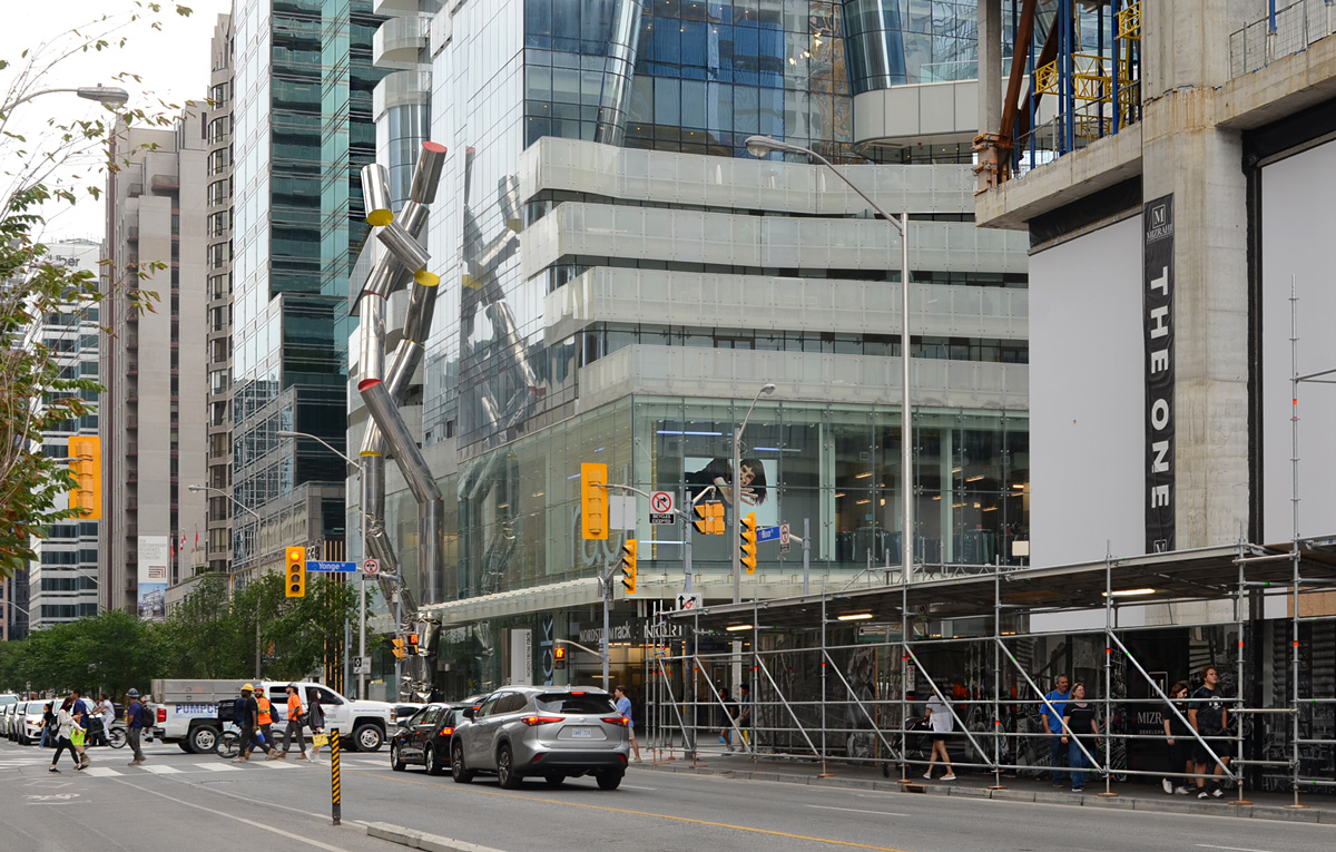
below: Looking east on Bloor from just west of Yonge Street.  Rising 88 feet above the sidewalk is the metallic ‘Safe Hands’ sculpture by Ron Arad.

looking west on Bloor at Yonge

below: Anti-Putin protest, northeast corner

Canada Post box on sidewalk, a community bulletin board full of posters and papers, a protest sign in blue and yellow that says kill Putin, he murders kids.

below: Waiting for a green light, northwest corner (more construction!)

4 people waiting for traffic light to turn green, on sidewalk by construction hoardings at northwest corner of Yonge & Bloor

Bloor street street sign in front of building under construction,

From the West Don Lands, across Eastern, north on Broadview and then back west on Queen Street East to Parliament and the Distillery District.

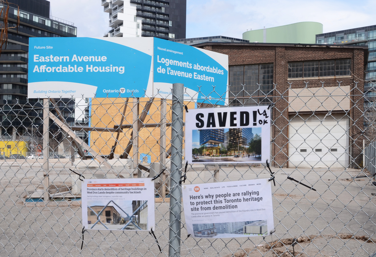
below: Saved! Demolition of the old foundry building near the Distillery District.  More on this story in a previous post from almost exactly a year ago.  Also a paste up by 33wallflower33 of a well dressed woman throwing out Doug Ford’s head and paraphernalia such as beer can with “buck a beer” in it.

poster on plywood, saved the foundry, also wallflower33 graffiti of well dressed woman scattering pieces of paper that say bye bye to Doug Ford

below: Signs of celebration on the fence around what ostensibly will be Eastern Avenue Affordable Housing (i.e. We’ll wait and see…)

bottom right: “Here’s why people are rallying to protect this Toronto heritage site from demolition.  The provincial government has paused demolition of the Foundry site in the West Don Lands after an outcry in Toronto” From Toronto NOW.
bottom left: “Province starts demolition of heritage buildings in West Don Lands despite community backlash. Tearing buildings down ‘outrageous’ councillor says.” CBC News

.

below: A simple statement; a red paper heart tied to a tree.

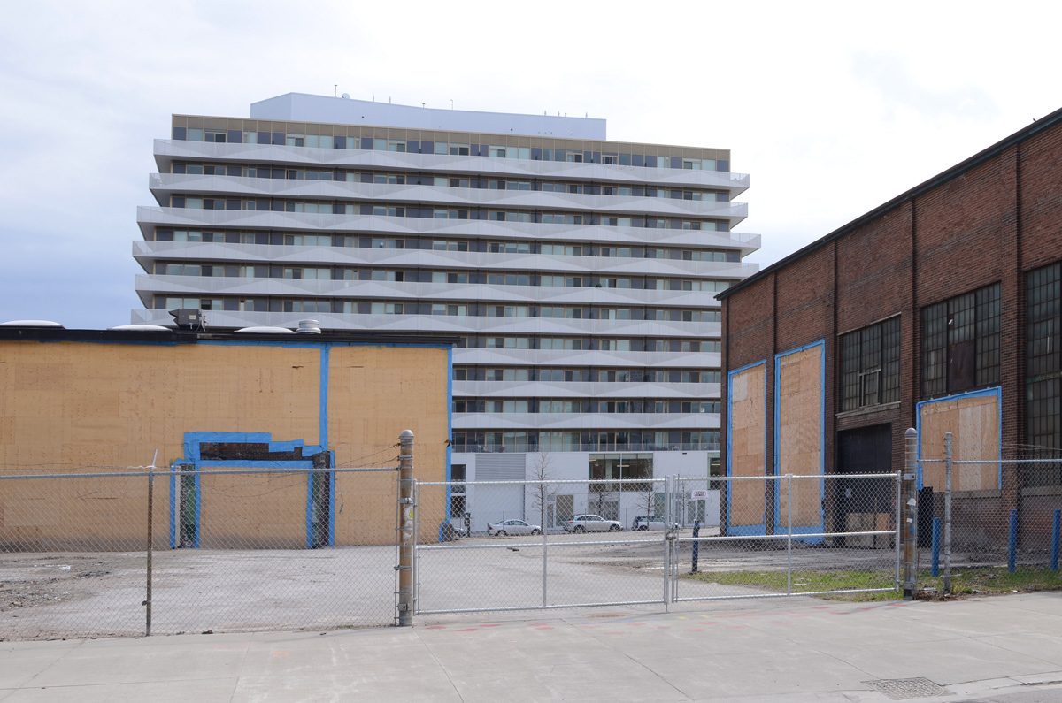
below: Not all of it was saved… but at least they didn’t tear the whole thing down as originally planned…..

back side of old foundry building that was partially demolished

below: Ukraine symbol on a boarded up window

yellow and blue ukraine symbol painted on boarded up window of red brick building

below: Smack! Urban Ninja Squadron paste-up along with a musical sketchrat.

paper paste up urban ninja squadron graffiti on plywood

below: The house with the two green cubes is still standing.  Truth at the base.

house with two green cube shapes on point

below: A painted pillar in Underpass Park, with the pedestrian ramp up to Eastern Ave in background

painted concrete pillar in Underpass park of a woman with purple lips, city in the background - sidewalk ramp up to Queen Street, condo

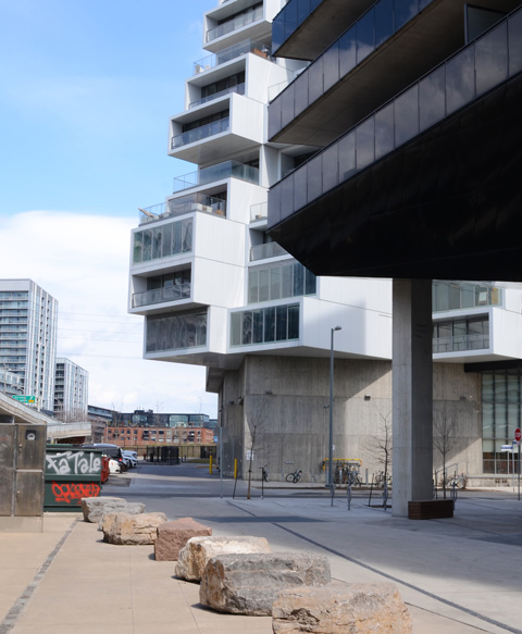
below: A row of large rocks

a row of large rocks in front of a new condo, black, with other new condo, white with concrete first floor, in the background

below: The underside of the roof over the entrance to the condo is very reflective. It ‘mirrors’ the reflective ceiling of Underpass Park next door to it.

reflections of a street scene in a reflective ceiling, exterior, over the entrance to a building

below: View from, looking east over Corktown Common,  the south end of the Don River, as well as the ramp from the Gardiner Expressway to the Don Valley Parkway.

view from south side of Eastern Ave looking east over Don River, ramp from Gardiner to DVP, many tall hydro transmission towers

below: Eastern Ave and the DVP.  Looking east.

old water tower on top of newer residential development, street sign pointing to ramp from Eastern Ave to Don Valley parkway northbound

car dealership at Eastern Ave and Don Valley Parkway

below: Garfield the Cat just lying around

on a white wall, a painting of Garfield the cat lying down with sunglasses and purple polka dot shorts on

below: Northeast corner of Broadview and Eastern.

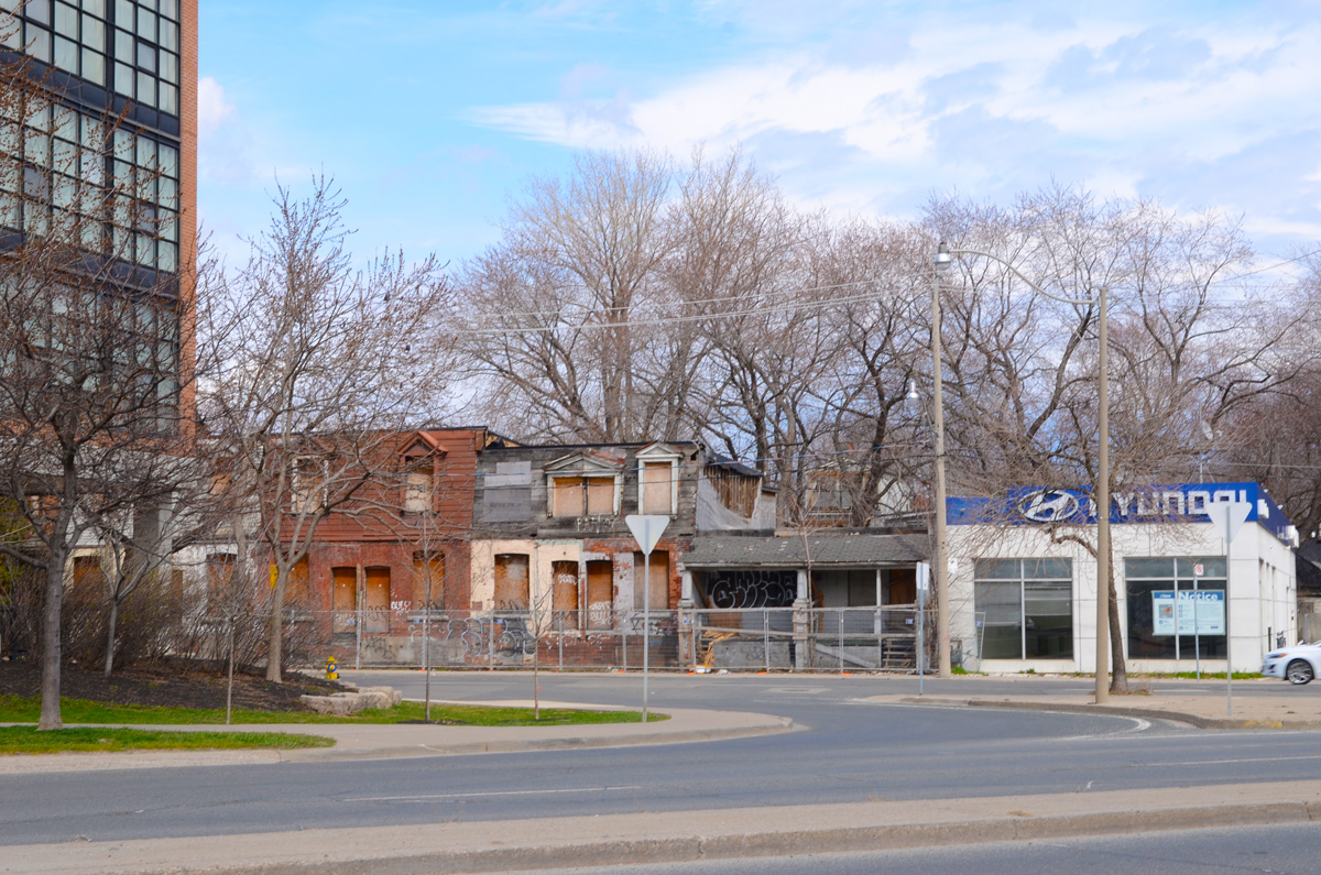
a small hyundai dealership, now empty, at the end of a row of empty and boarded up houses on Broadview

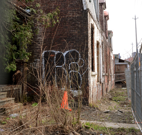
below: A row of old houses on Broadview still stand empty.  It’s been years now since anyone has lived in them.

row of old brick rowhouses that have been empty for a while, construction fence in the front

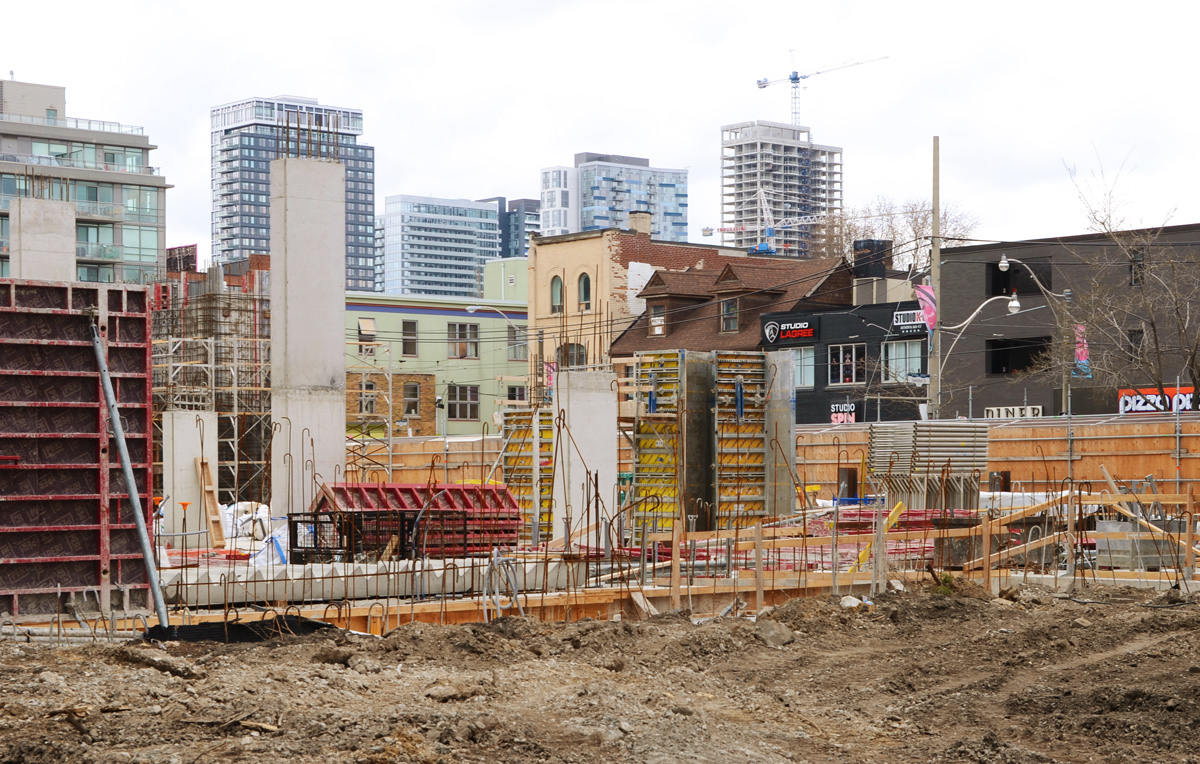
below: Just a bit north, at Queen Street East, another boarded up building.  But this one is now in the middle of an active construction site.

back of an empty building on Queen East, construction site, large green dumpster

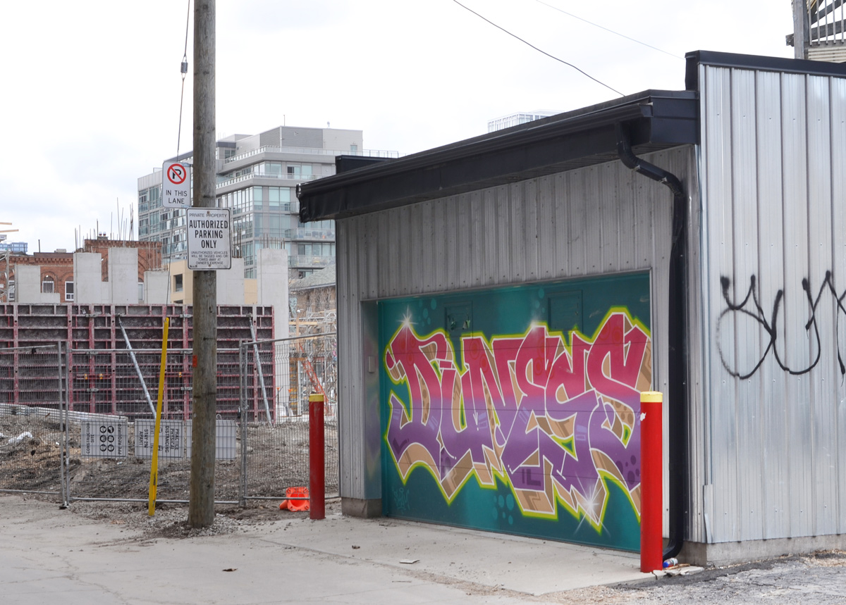
below: In an alley behind Queen Street East.

text throw up street art on a garage door, with construction site behind

below: A new view of Queen Street East has been opened up with the demolition of some of the buildings on the south side.

view northwest

below: Northeast corner of Broadview and Queen East, once the home of Dangerous Dan’s.

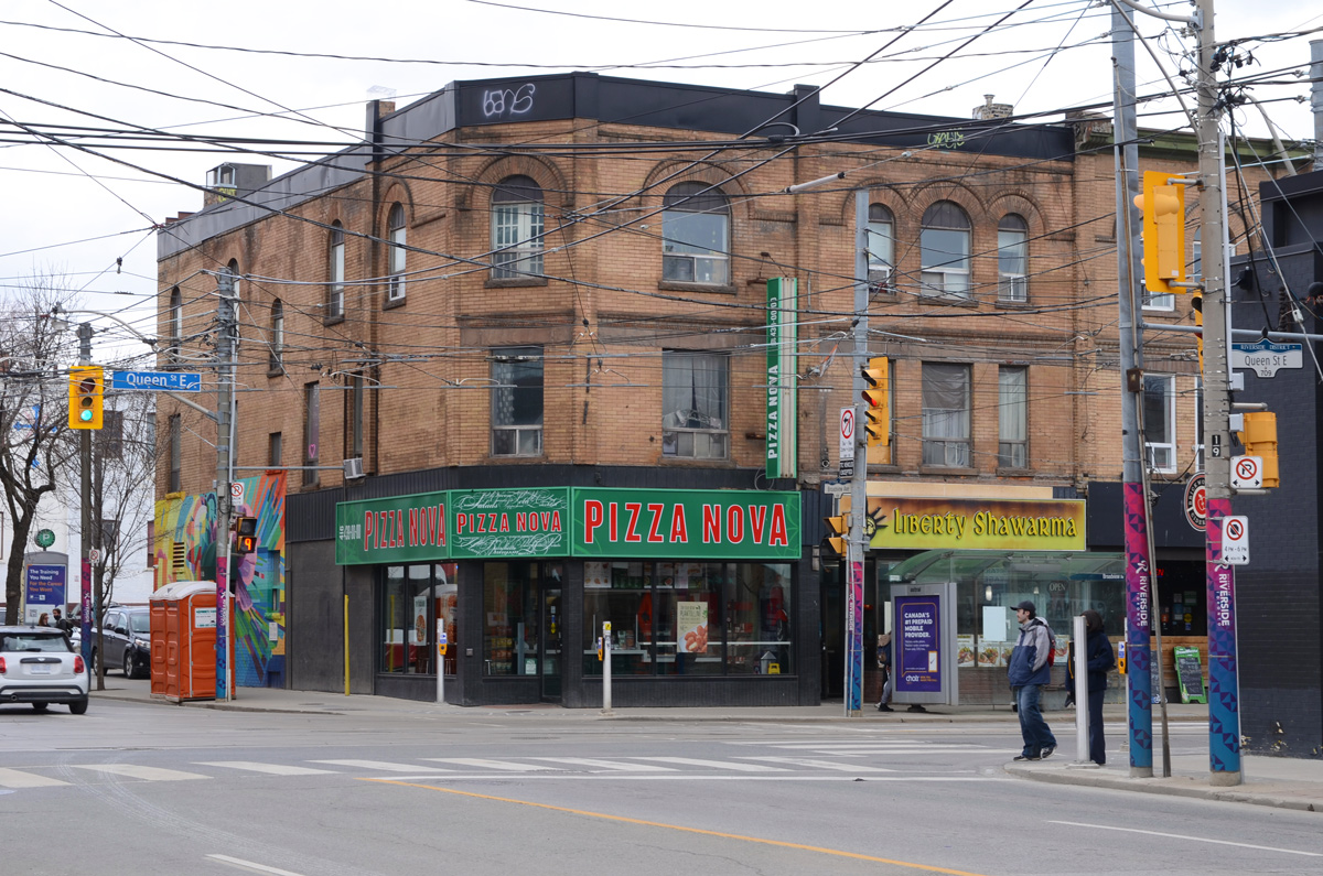
northeast corner of Queen and Broadview, three storey brick building, Pizza Nova on the corner,

below: Danger due to hole.  On Queen East.  The pyramid shaped roof is part of the Broadview Hotel at Queen and Broadview.

looking east on Queen East towards Broadview and Broadview Hotel, construction on the south side

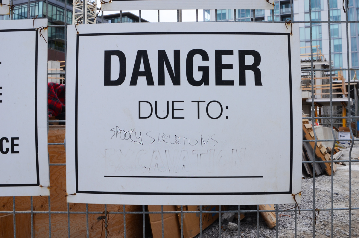
below: More danger….  watch out for spooky skeletons!

danger due to sign that has been altered to say danger due to spooky skeletons

below: Riverside Common, a new public space on Queen Street East.

Riverside common, a new public space on Queen East

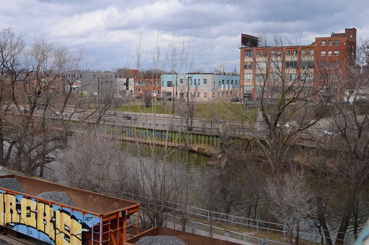
below: Looking back across the Don River from the bridge at Queen Street East.

view across Don River in early spring, just north of Queen Street

below: Passing southbound under Queen Street East.

looking north from bridge on Queen East over the Don River, train car on tracks, cyclists on bike path, river, and traffic on DVP

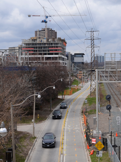
below: Looking north up Lower Bayview from Queen Street East

looking north up Lower Bayview from Queen Street bridge, 3 black cars, new condo being built, train tracks

below: From almost the same vantage point as the photo above, but looking more west than north.

looking northwest from Queen East bridge over the Don River, view of old brick brewery by River Street (now residences), and newer highrises beyond

below: An Uber5000 yellow birdie on the wall of the Toronto Humane Society at Queen and River.

an uber 5000 yellow birdie on a mural

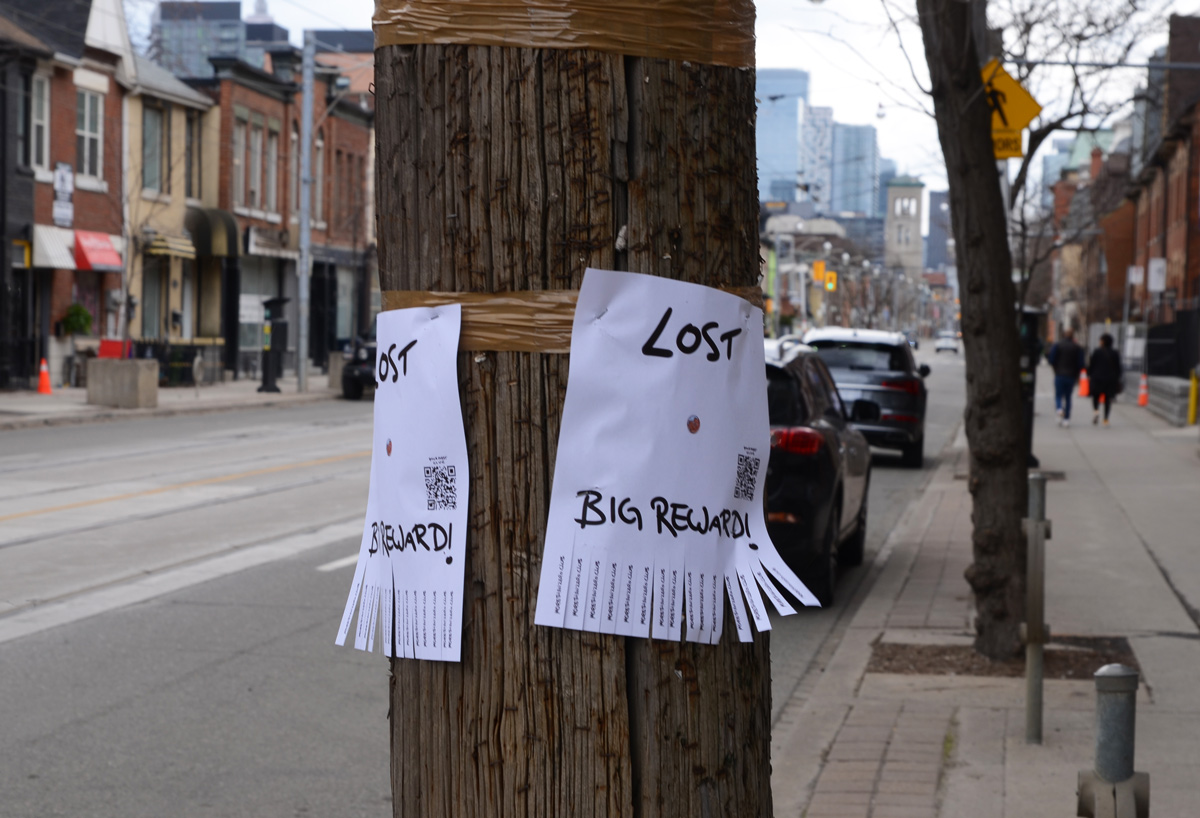
2 posters on a utility pole, Lost

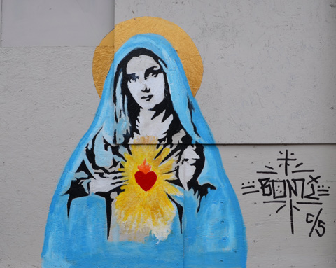
a painting of the madonna, Mary, in blue robes, with gold halo, and red heart in chest gold light rays coming from red heart, painting on a wall

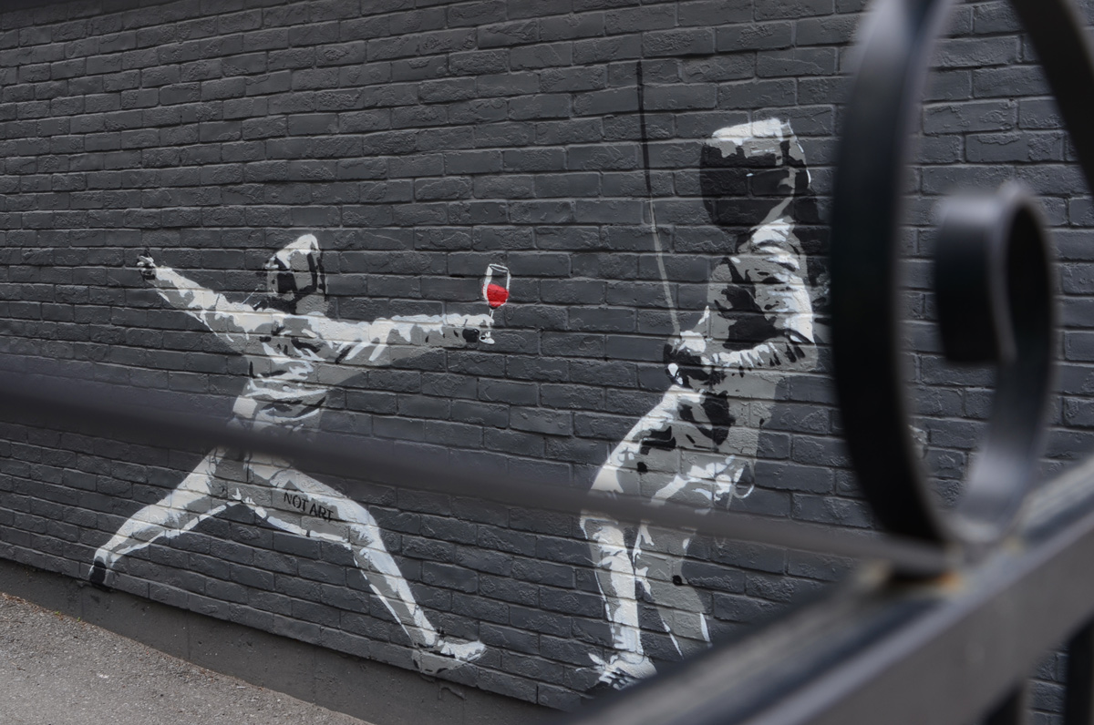
below: Painting of two fencers where the red wine seems to be winning.

mural of two fencers, one with a glass of red wine in their hand

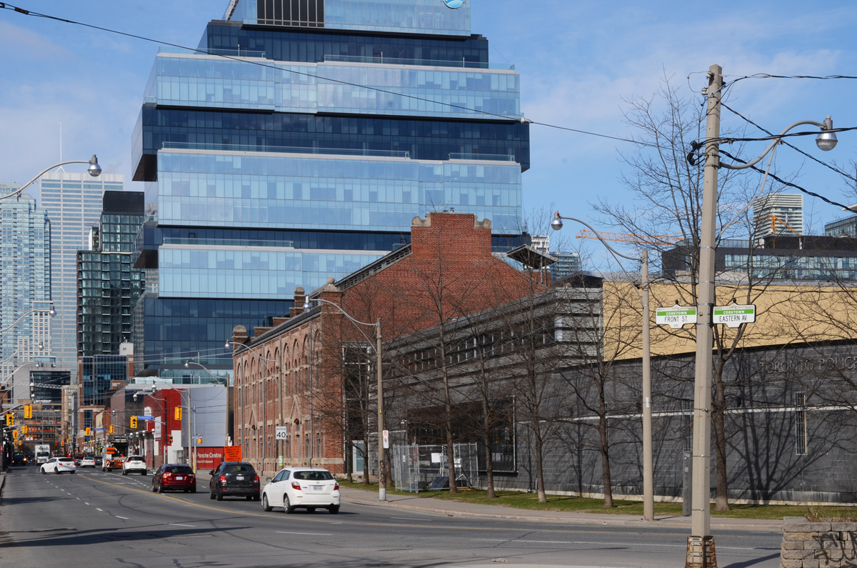
below: Where Eastern Avenue meets Front Street, looking west towards downtown.   The old brick building is now Toronto Police Services  Division 51 headquaters.  In a previous phase of its life it was Consumers Gas Station A, designed by Bond & Smith and built in 1898.   Beyond Parliament Street and in the background is the blue Globe and Mail building.

where Eastern Ave meets Front Street, old historic brick building with new glass commercial building behind

below: The Porsche dealership on the northwest corner of Front and Parliament is now empty.

Now empty, the porsche dealership at Parliament and Front, large shiny silver curved surface on upper levels, window with red coverings on the ground floor.

below: The southwest corner of Front and Parliament is entirely surrounded by plywood hoardings.

plywood hoardings covering the southwest corner of Front Street and Parliament Street, some posters on the plywood, skyline in the background

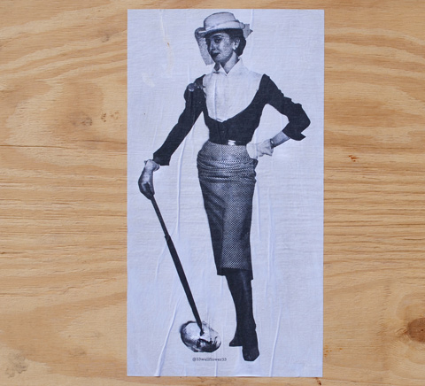
below: Another 33wallflower33 paste-up. This time she’s pinning Putin’s head to the ground.

33wallflower33 pasteup on plywood, woman in vintage clothing with umbrella stick holding Putin's head to the ground

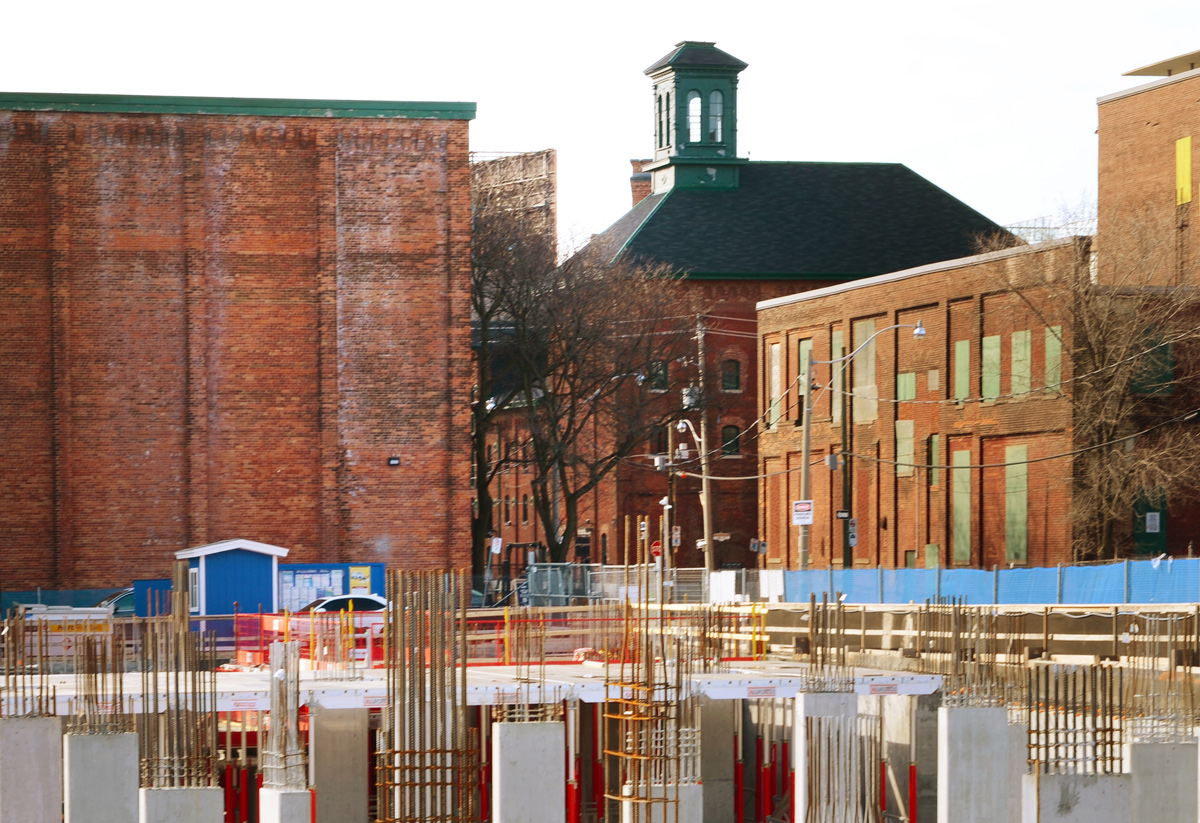
below: And back to the Distillery District – and the new construction that is taking place at Front and Trinity, just north of the historic buildings.

construction near the distillery district

between Steeles and Drewry/Cummer.

Once it was the hinterland but now it feels like the city just goes on and on and on….

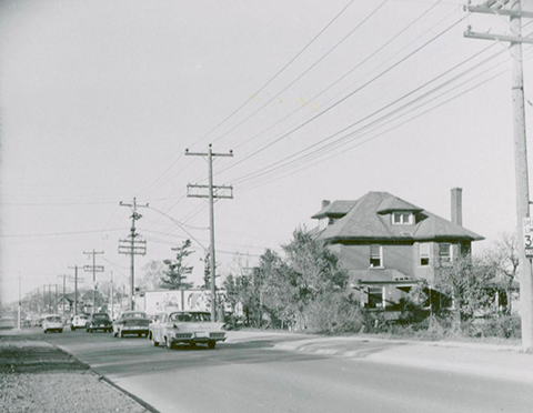
below: In 1955 this was the view looking south on Yonge from just north of Cummer/Drewry. This was the center of the community of Newtonbrook, named after the Newton Brook Wesleyan Church founded in 1857.  A general store and post office were opened here in 1863 on the northeast corner of Yonge & Drewry (possibly the buildings on the right side of this photo).

black and white photo of yonge street looking south from Cummer

photo credit: James Victor Salmon, found on Toronto Public Library website (public domain).

below: It’s not taken from exactly the same viewpoint (traffic!) but this is what you see looking south on Yonge Street now.

yonge street, looking south from drewry and cummer, large new condo development with 3 cranes, some traffic,

below: Looking north up Yonge Street from just south of Cummer/Drewry.  The large house is on the southeast corner of Cummer and Yonge.

old black and white photo of yonge street,

photo credit: Tim Chirnside, found on Toronto Public Library website (public domain)

below: The intersection of Yonge and Cummer (to the east) and Drewry (to the west) today.   The large house in the black and white photo above would be on the far right of this picture.

northeast corner of cummer and yonge, large red brick apartment building, small strip malls

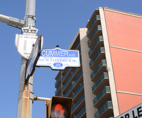
below: Yonge Street is also Provincial Highway 11.

toronto street signs, cummer ave., yonge street, as well as provincial highway 11 sign for yonge street

below: It is a major transportation/transit route.

GO bus stop and Viva bus stop markers on yonge street

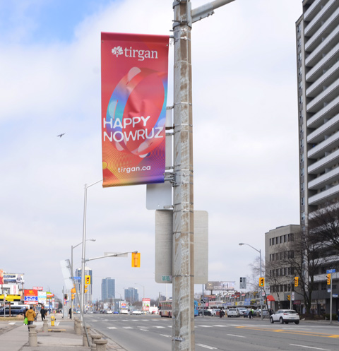
below: Happy Nowruz! or in other words, Happy New Year!  It is the Iranian New Year; the beginning of spring; a new day!  The banners were by sponsored by Tirgan, an organization that “promotes cross-cultural dialogue between Iranian-Canadians and the global community at large.”

red banner on utility pole on yonge street that says happy nowruz

below: There are many other cultures that are well represented in this part of the city.

signs for stores, restaurants and businesses on yonge street, popeyes louisiana kitchn, legal services, accountant, mary's cosmetic clinic, etc

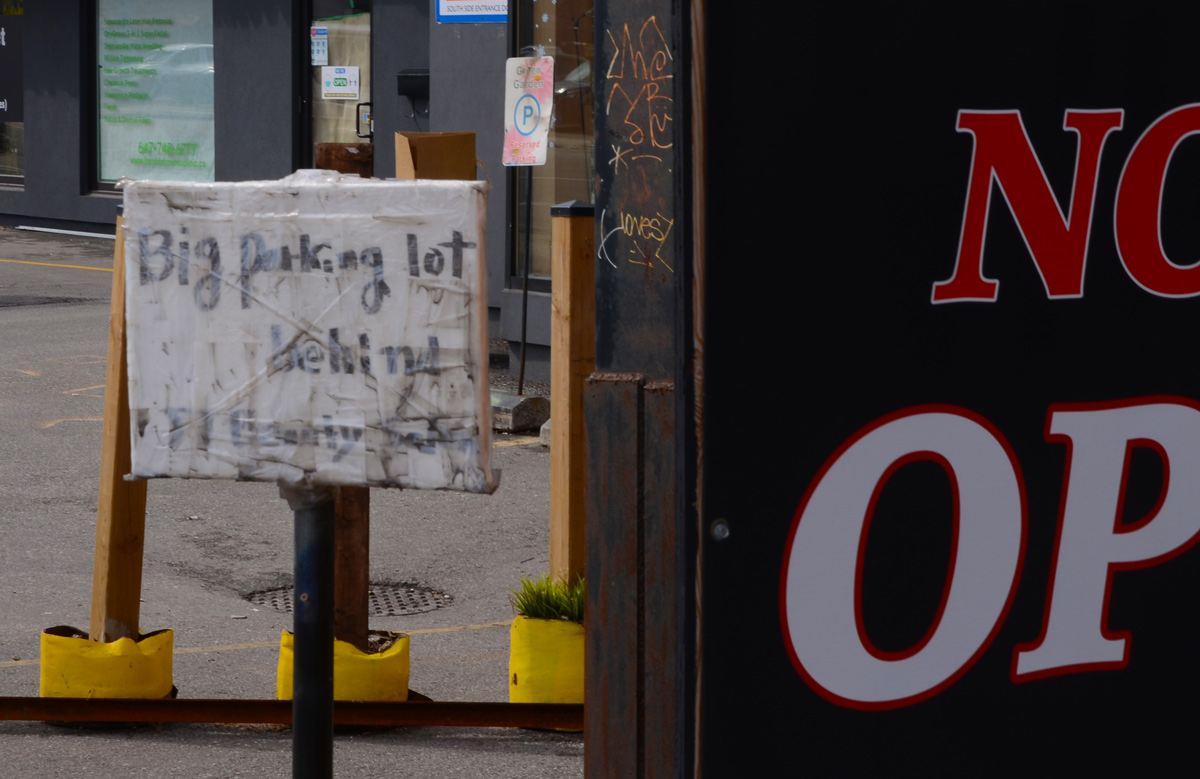
small hand written sign that says big parking lot

cleaning up in front of a new building on yonge street

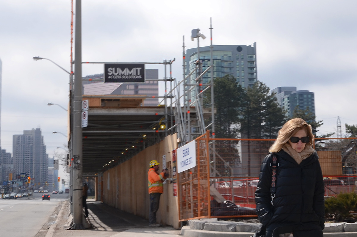
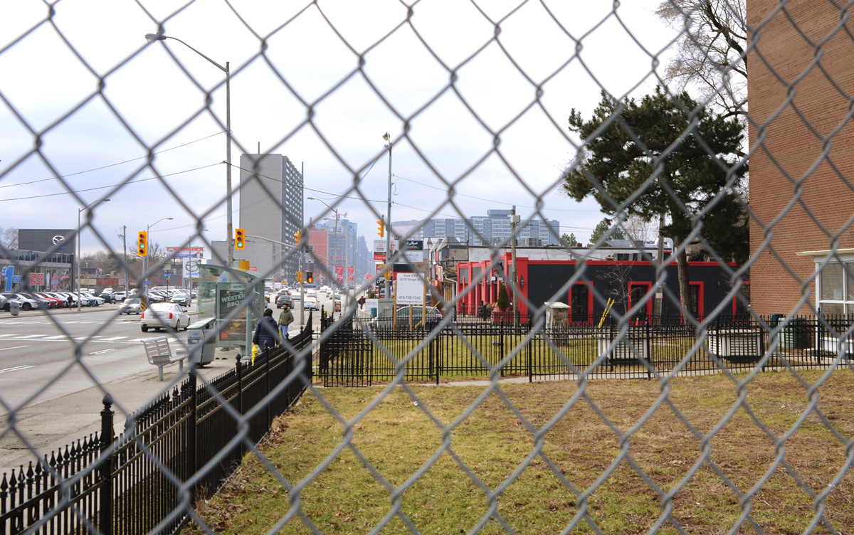
below: Like so many parts of Toronto, there is a lot of redevelopment taking place. Blue and white development notice signs are everywhere.

blue and white development notice sign on vacant lot on yonge street, houses, and newer highrises in the background, residential area, Newtonbrook

crooked metal fence around a vacantlot that has been paved over, yonge street, about to be redeveloped

man adjusting signs on hoardings around a construction site

view southward on yonge street, behind chainlink fence

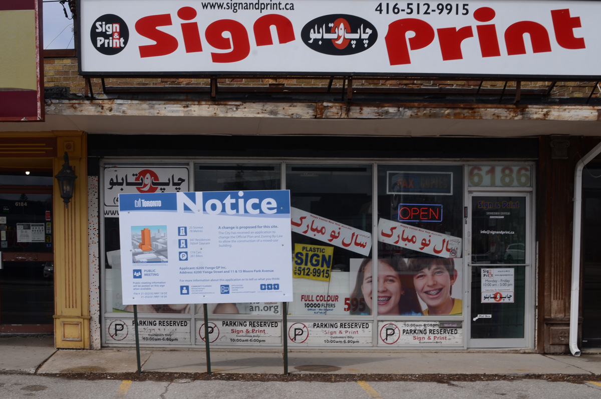
below: To be (possibly) replaced by 25 storeys, 347 residences and a daycare.

sign print shop storefront with development notice sign in front

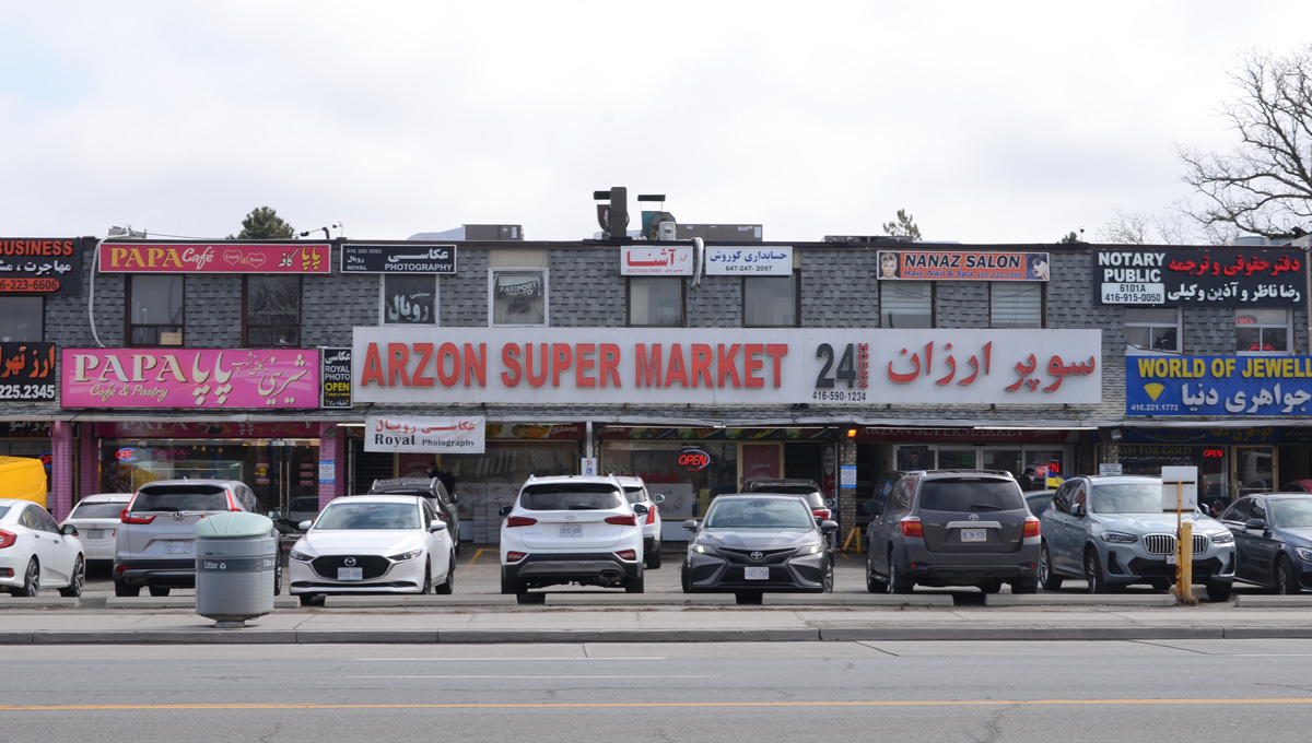
below: Seoul Plaza with it’s Korean BBQ restaurant and other businesses (not all Korean) – also with a development notice sign in front.  I’m not sure of the size of the development but it looks like your average  20ish storeys on podium condo.

Seoul Plaza on Yonge street, restaurant and businesss, with blue and white development notice sign in front

strip mall on Yonge street with cars parked in front, Arzon Super Market, Papa Cafe, nanaz Salon, plus other businesses

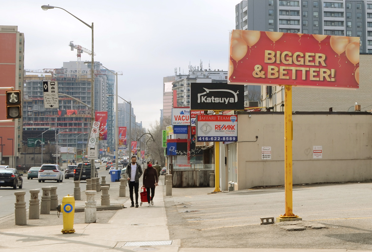
billboard that says bigger and better, on yonge street, pedestrians on sidewalk

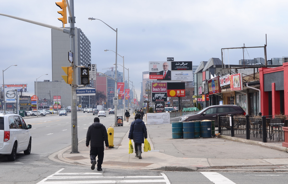
below: Looking south from Moore Park Ave

looking south on the west side of yonge from Moore Park Ave., people walking on sidewalk, stores and restaurants

below: Looking north to the intersection of Yonge and Steeles.  Steeles Ave has been the northern boundary of the City of Toronto since 1953.  All of the tall buildings in this picture are north of Steeles and are in Thornhill (York Region).

looking north up yonge street to the intersection of yonge and steeles with many highrises north of steeles

looking down a short alley to a pale grey side of a house, same grey as building on north side of alley

below: Pro Ukraine stencil graffiti.

spray paint stencil graffiti, black trident on blue and yellow map of ukraine

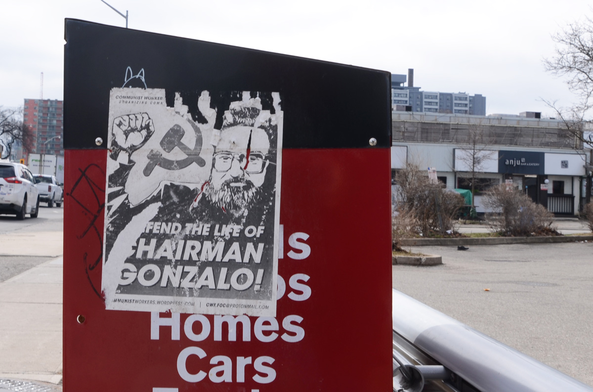
below: I’m not sure what the spring will do but someone has been putting up a lot of posters for the Communist Party.

graffiti text sprayed on map and wall of bus shelter says the spring will (illegible), partially removed posters below that for communist party

communist party posters on a grey metal street boxcommunist party posters on a red box on the sidewalk

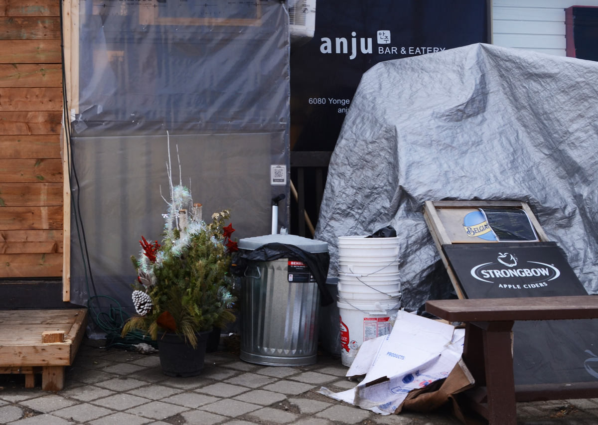
old Christmas decorations and empty buckets behind a restaurant

man sitting in a bus shelter, brick apartment building behind him

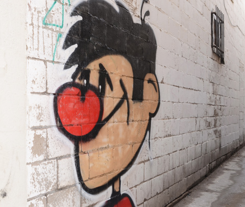
graffiti of a cartoon like young man with a big red nose