between Steeles and Drewry/Cummer.
Once it was the hinterland but now it feels like the city just goes on and on and on….
below: In 1955 this was the view looking south on Yonge from just north of Cummer/Drewry. This was the center of the community of Newtonbrook, named after the Newton Brook Wesleyan Church founded in 1857. A general store and post office were opened here in 1863 on the northeast corner of Yonge & Drewry (possibly the buildings on the right side of this photo).

photo credit: James Victor Salmon, found on Toronto Public Library website (public domain).
below: It’s not taken from exactly the same viewpoint (traffic!) but this is what you see looking south on Yonge Street now.

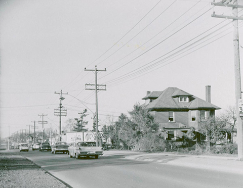
below: Looking north up Yonge Street from just south of Cummer/Drewry. The large house is on the southeast corner of Cummer and Yonge.

photo credit: Tim Chirnside, found on Toronto Public Library website (public domain)
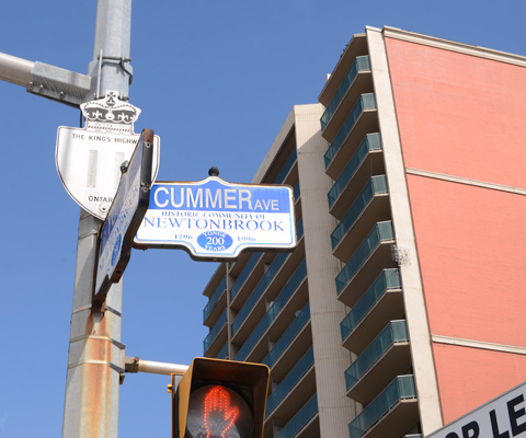
below: The intersection of Yonge and Cummer (to the east) and Drewry (to the west) today. The large house in the black and white photo above would be on the far right of this picture.

below: Yonge Street is also Provincial Highway 11.

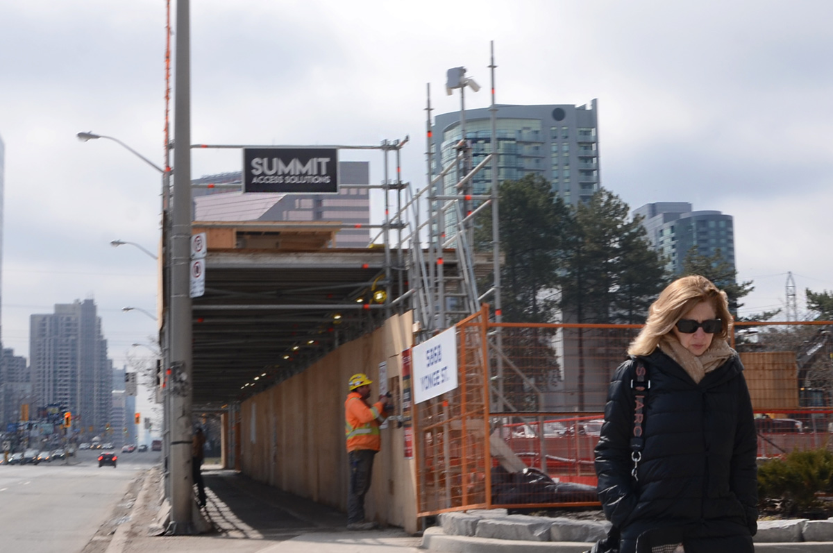
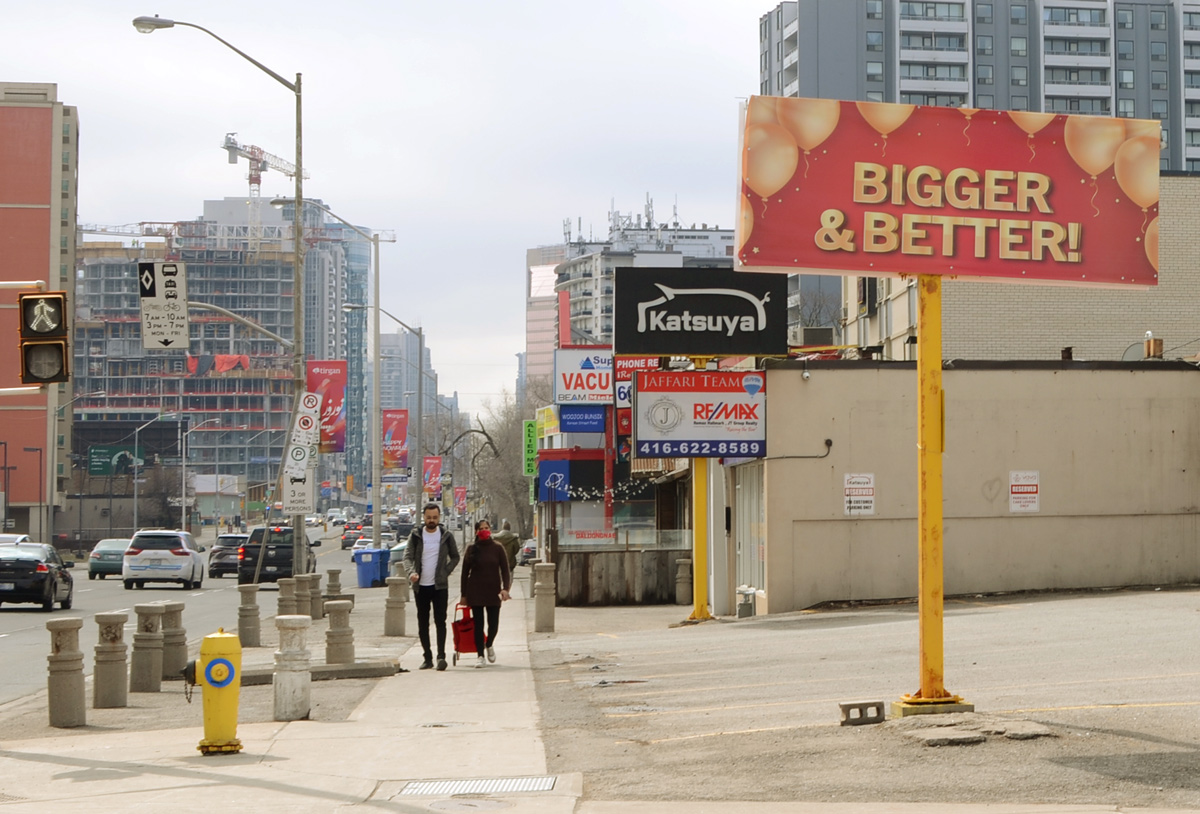
below: It is a major transportation/transit route.

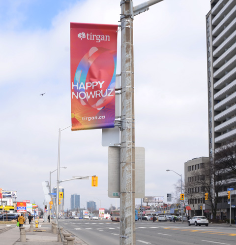
below: Happy Nowruz! or in other words, Happy New Year! It is the Iranian New Year; the beginning of spring; a new day! The banners were by sponsored by Tirgan, an organization that “promotes cross-cultural dialogue between Iranian-Canadians and the global community at large.”

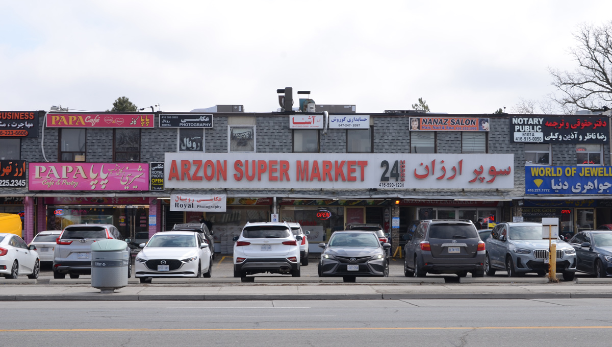
below: There are many other cultures that are well represented in this part of the city.


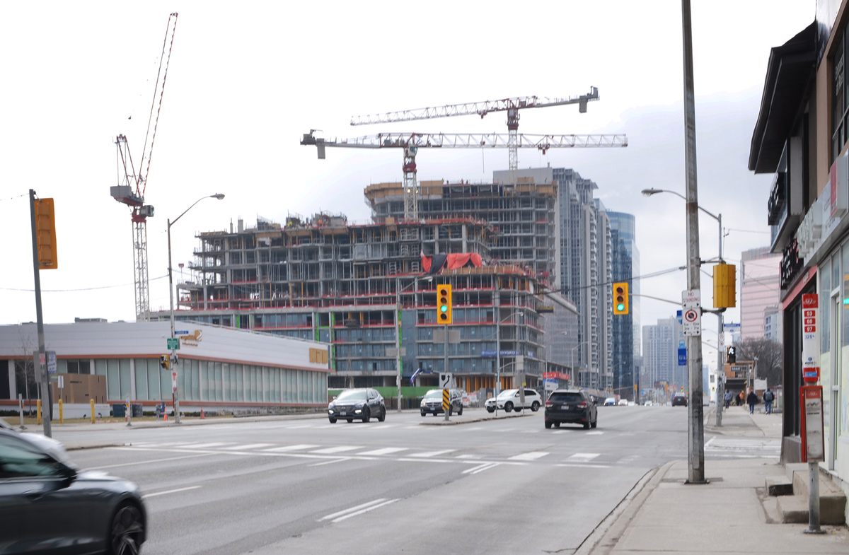
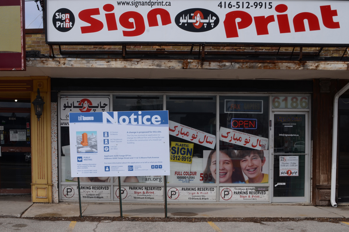
below: Like so many parts of Toronto, there is a lot of redevelopment taking place. Blue and white development notice signs are everywhere.


below: To be (possibly) replaced by 25 storeys, 347 residences and a daycare.

below: Seoul Plaza with it’s Korean BBQ restaurant and other businesses (not all Korean) – also with a development notice sign in front. I’m not sure of the size of the development but it looks like your average 20ish storeys on podium condo.


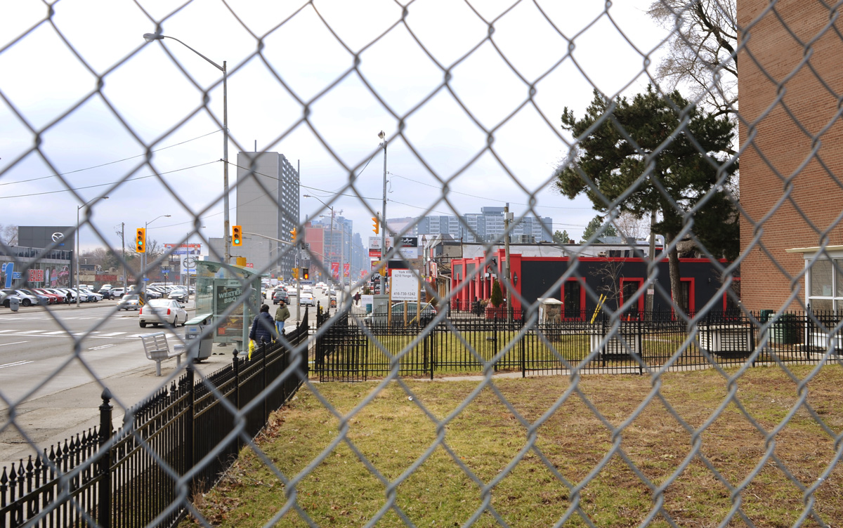
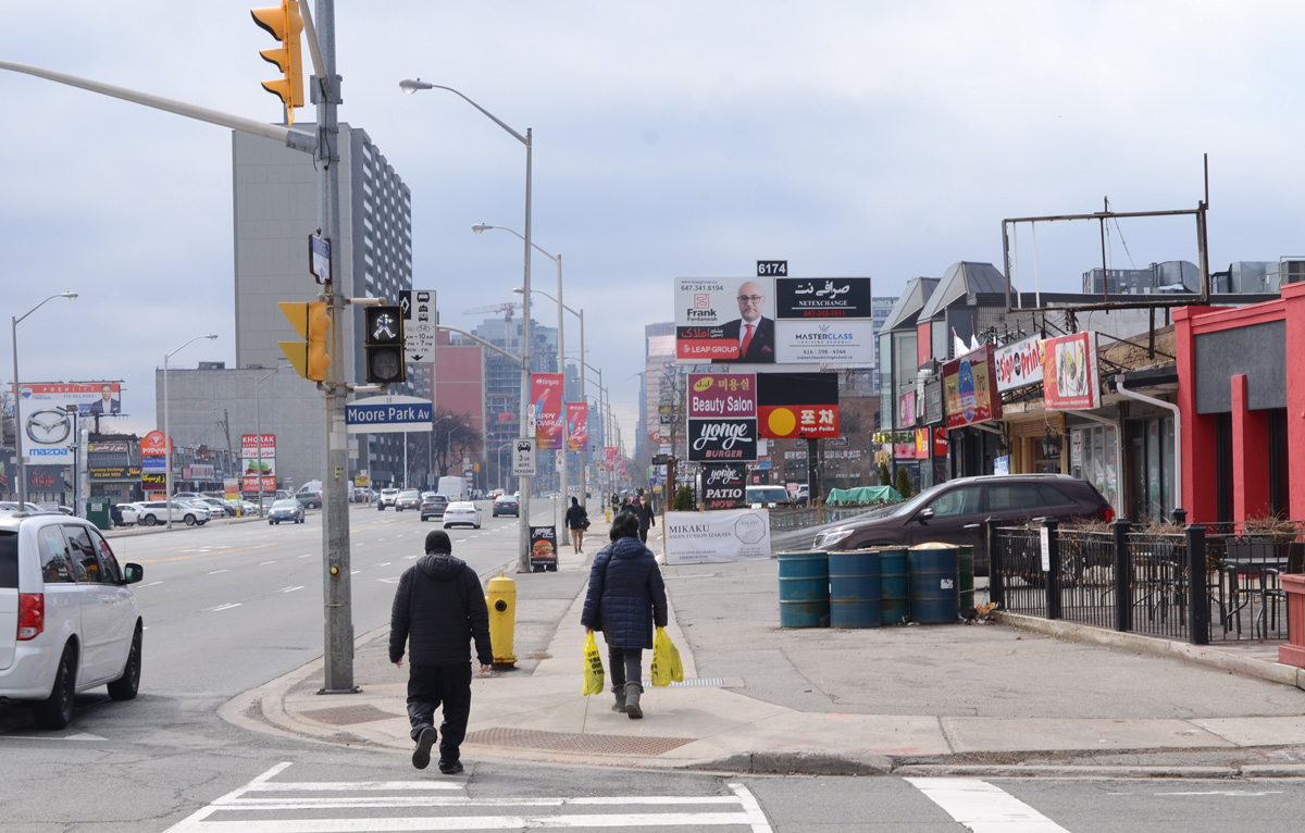
below: Looking south from Moore Park Ave

below: Looking north to the intersection of Yonge and Steeles. Steeles Ave has been the northern boundary of the City of Toronto since 1953. All of the tall buildings in this picture are north of Steeles and are in Thornhill (York Region).


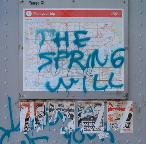
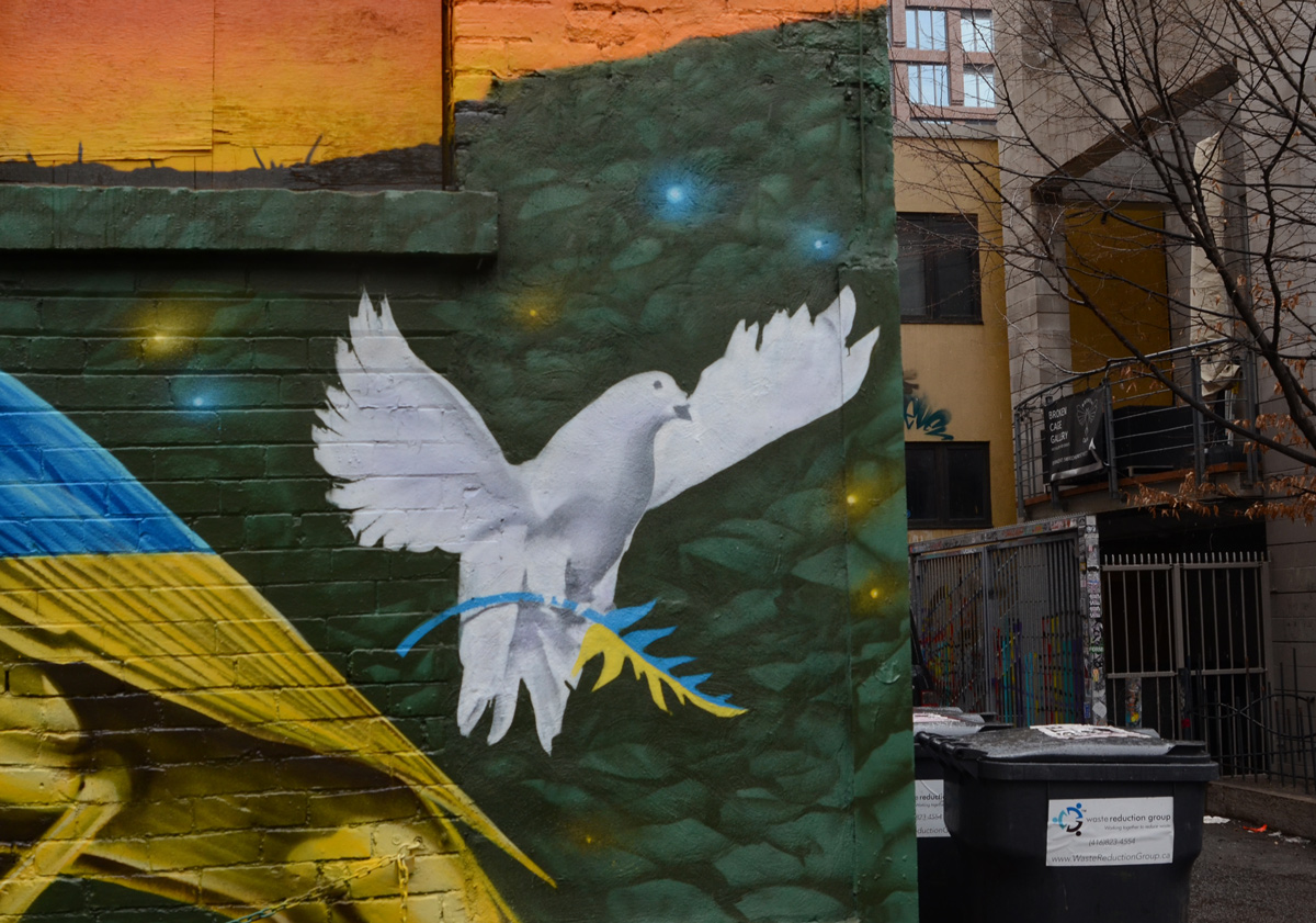
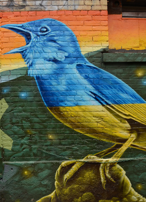
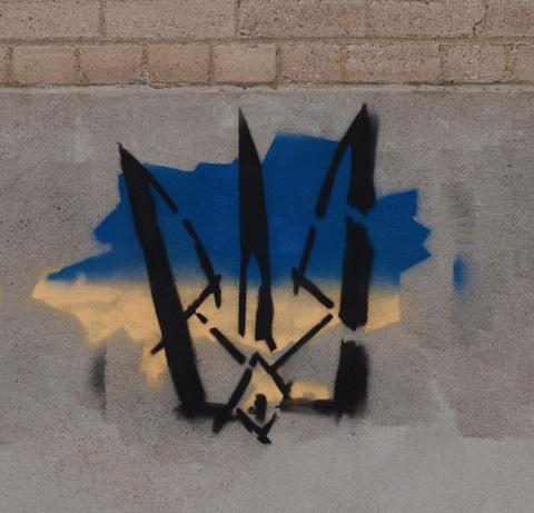
below: Pro Ukraine stencil graffiti.
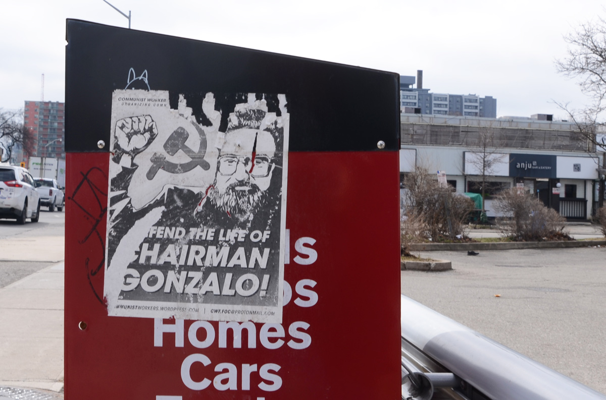
below: I’m not sure what the spring will do but someone has been putting up a lot of posters for the Communist Party.