The general plan was to walk River Street. River Street runs parallel to the Don River (makes sense!) on the west side with the north end of the street just above of Gerrard. Transit on River Street is limited (is there any?) so I started the walk at Broadview and Gerrard, just to the east of River Street.
below: At the corner of Broadview and Gerrard is the Roman Coliseum mural that was painted in 2016 as part of ‘Around the World in East Chinatown’. It was one of seven murals and all of them were featured in a blog post back when they were new (seven new murals, August 2016)
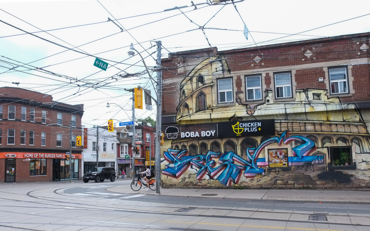

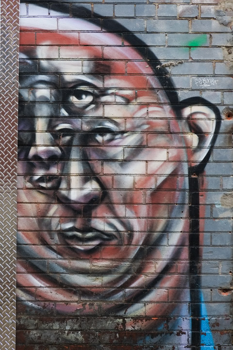
below: Chinatown East mural by ACK crew, bacon, wunder, tensoe 2, and cruz1, on Gerrard east of Broadview. Chinatown East is generally Gerrard east of Broadview, but we’re going to walk west today and leave Chinatown for another day.

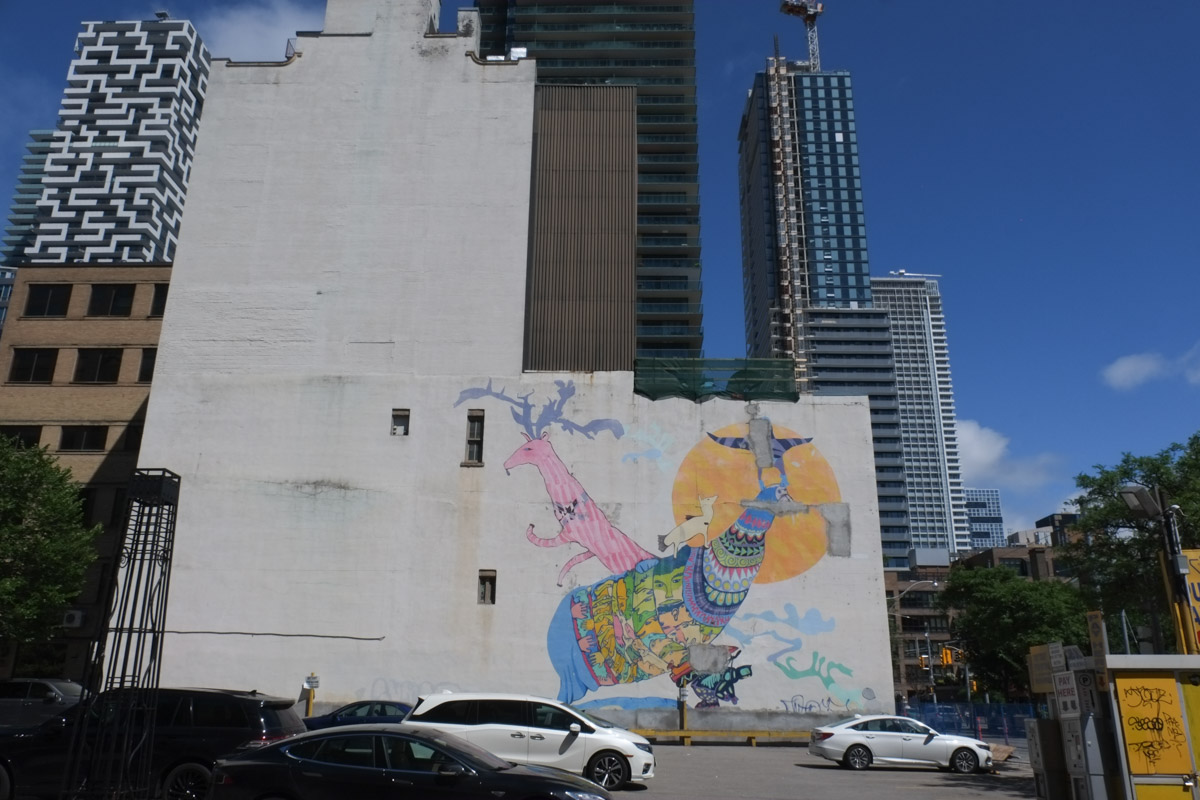
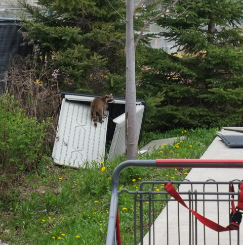
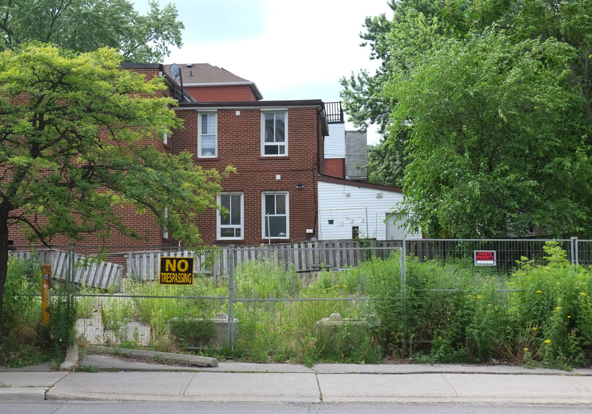
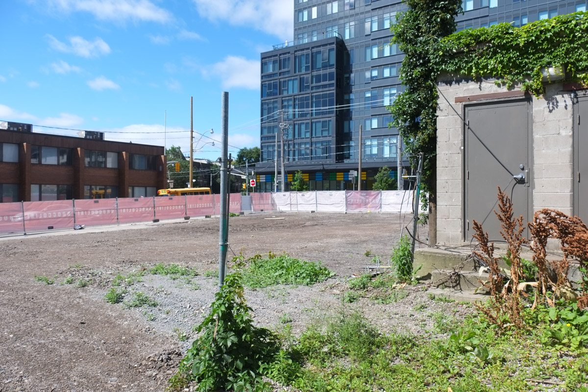
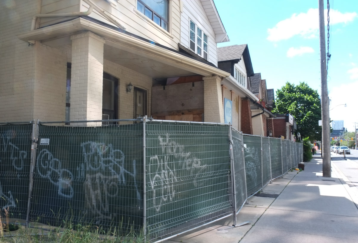
below: A long vacant lot on Gerrard.
below: Munro Street, south of Gerrard

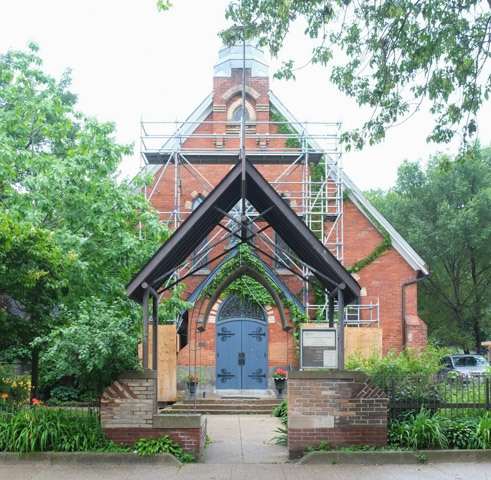
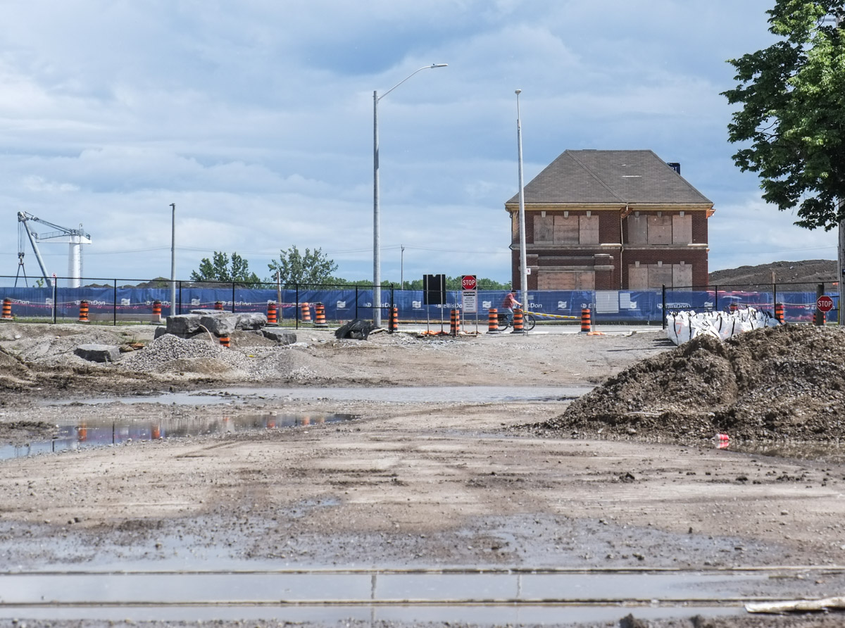
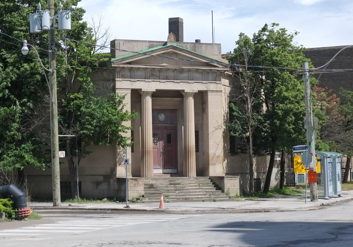
below: On the north side is the site of the old Don Jail and its Governor’s House.
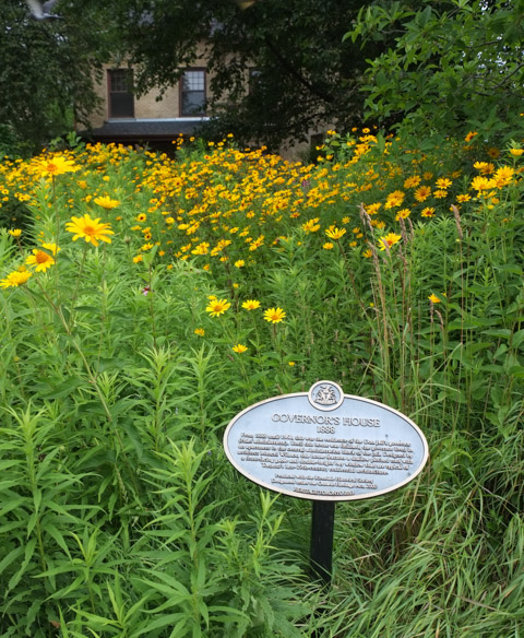
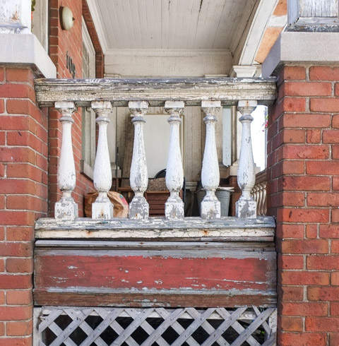
Governor’s House,1888, From 1888 until 1968, this was the residence of the Don Jail’s governor (chief administrator). Until this house was finished, the governor lived in an apartment in the central administration block of the jail. Designed by architect Mancel Wilmot, this house features a shallow pitched roof with a front-facing gable and double-height bay window that are typical of Toronto’s late 19th century residential architecture.
below: Bridgepoint and the old Don Jail with the red brick steeple of St. Johns Presbyterian church on Broadview in the distance. Bridgepoint Health Hospital was built on the site of the old Riverdale Hospital which in turn replaced an older building. The original House of Refuge was built in 1860. The Don Jail has been repurposed as part of the hospital complex.

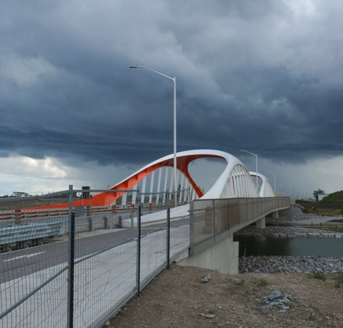
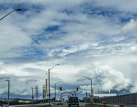
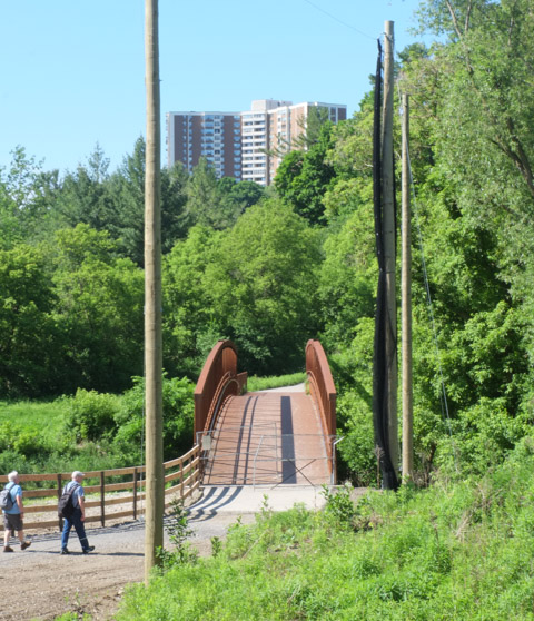
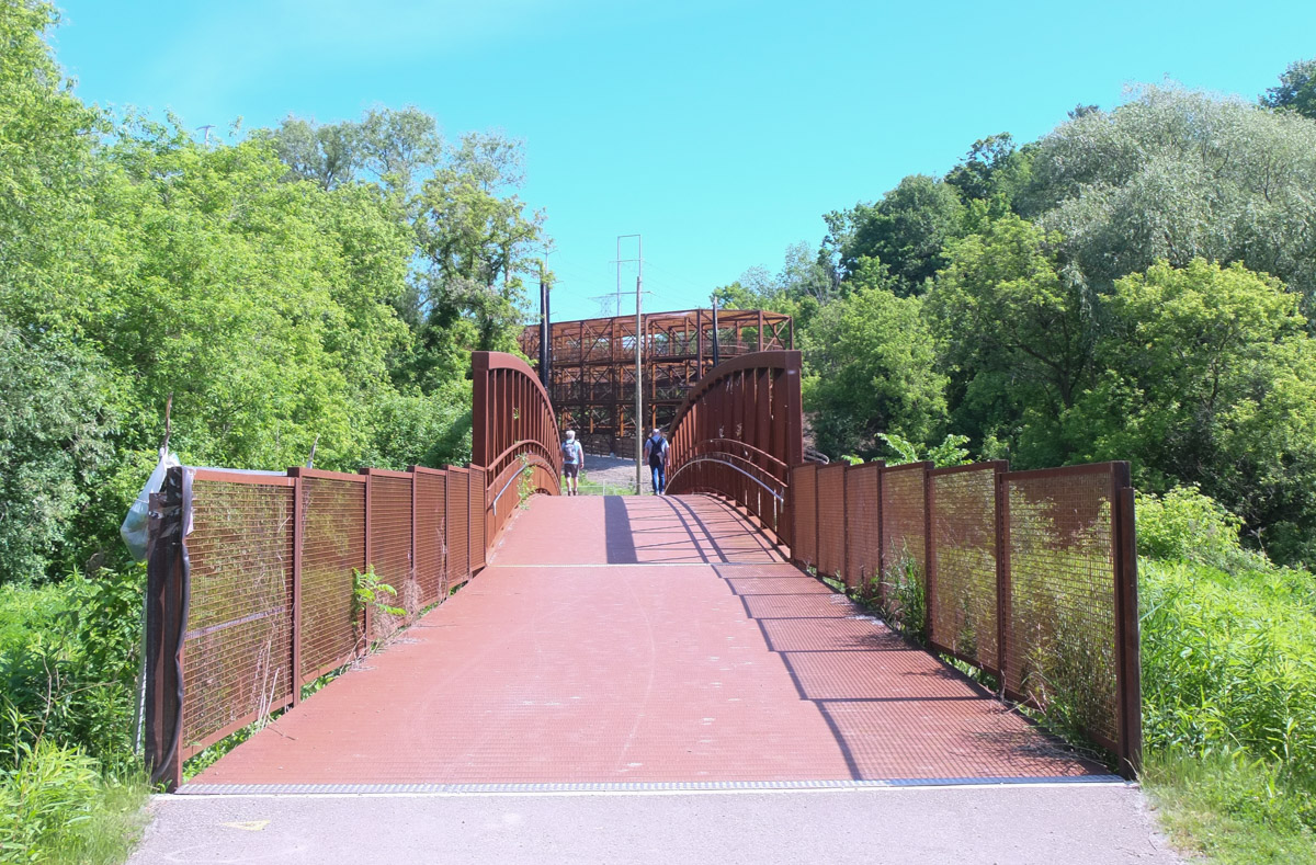
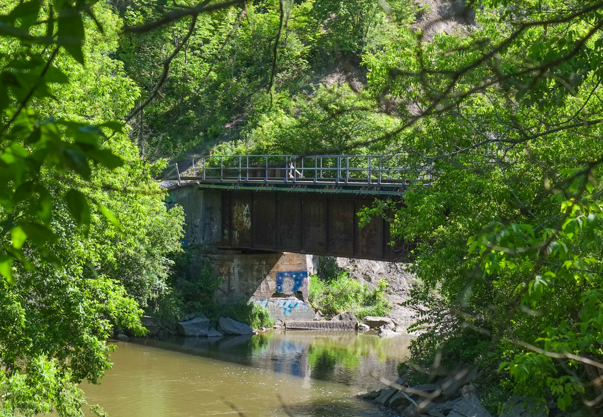
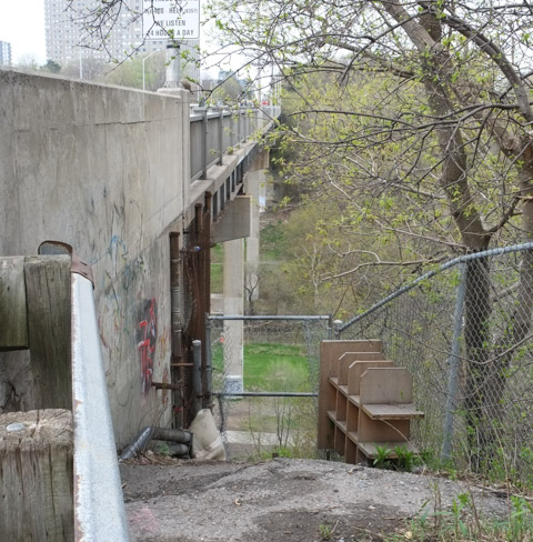
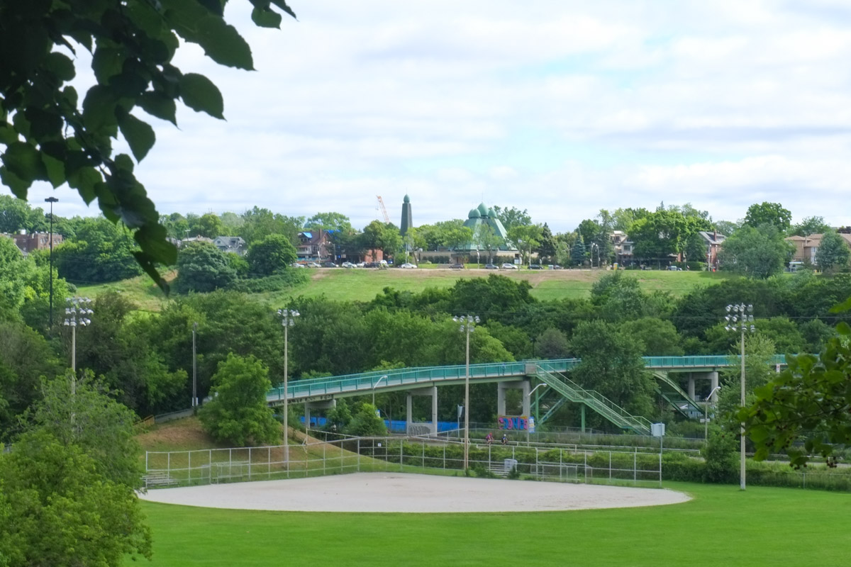
below: Looking north from the bridge at Gerrard towards the green pedestrian bridge that connects the two sections of Riverdale Park. Beyond that is the Bloor Viaduct.
below: Northwest view

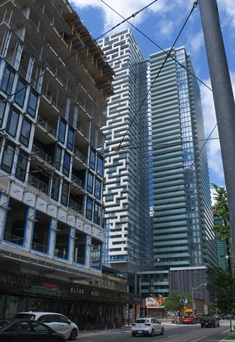
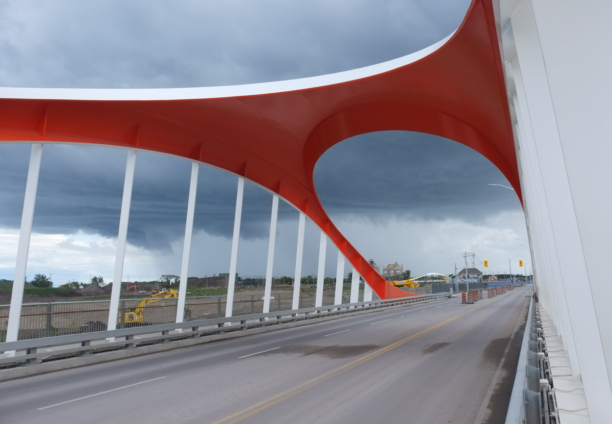
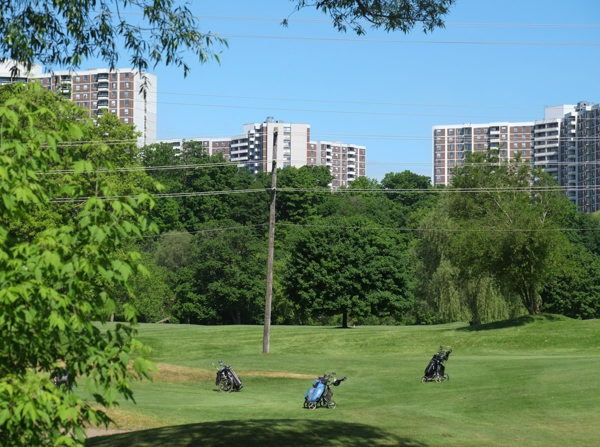
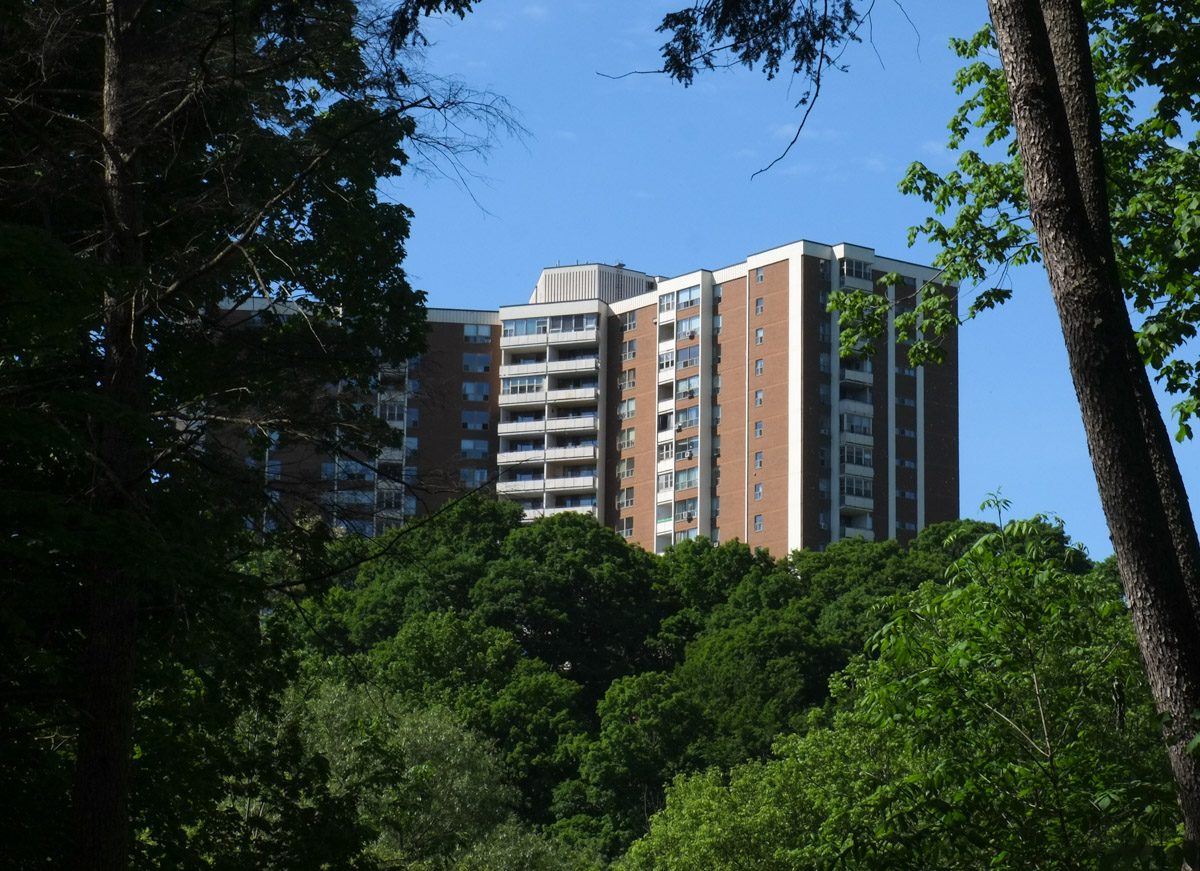
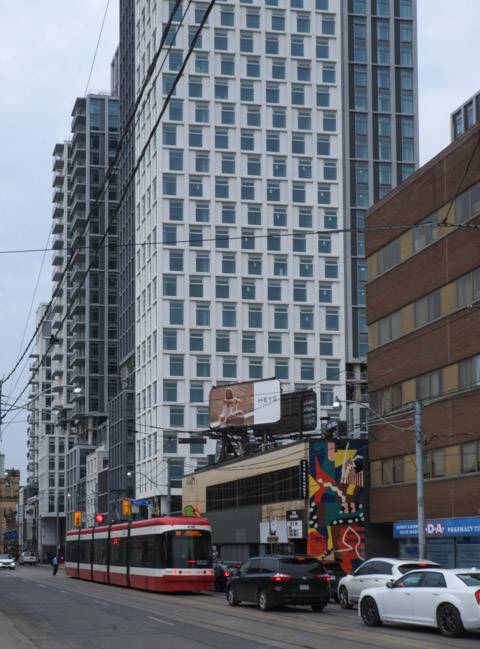
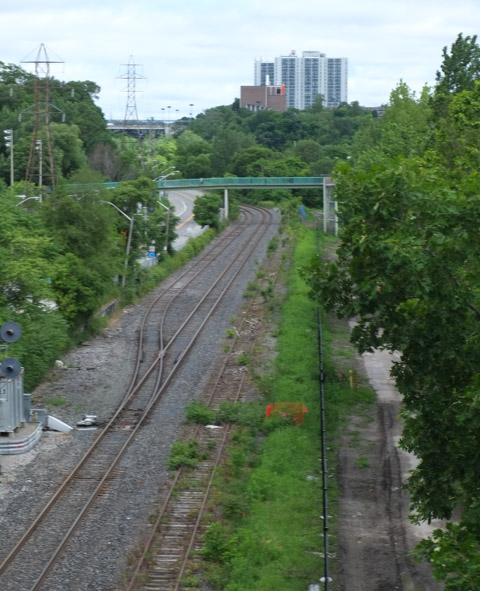
below: View from the Gerrard St Bridge (over the Don River and DVP). Looking southwest. The tall brown buildings are at River Street.
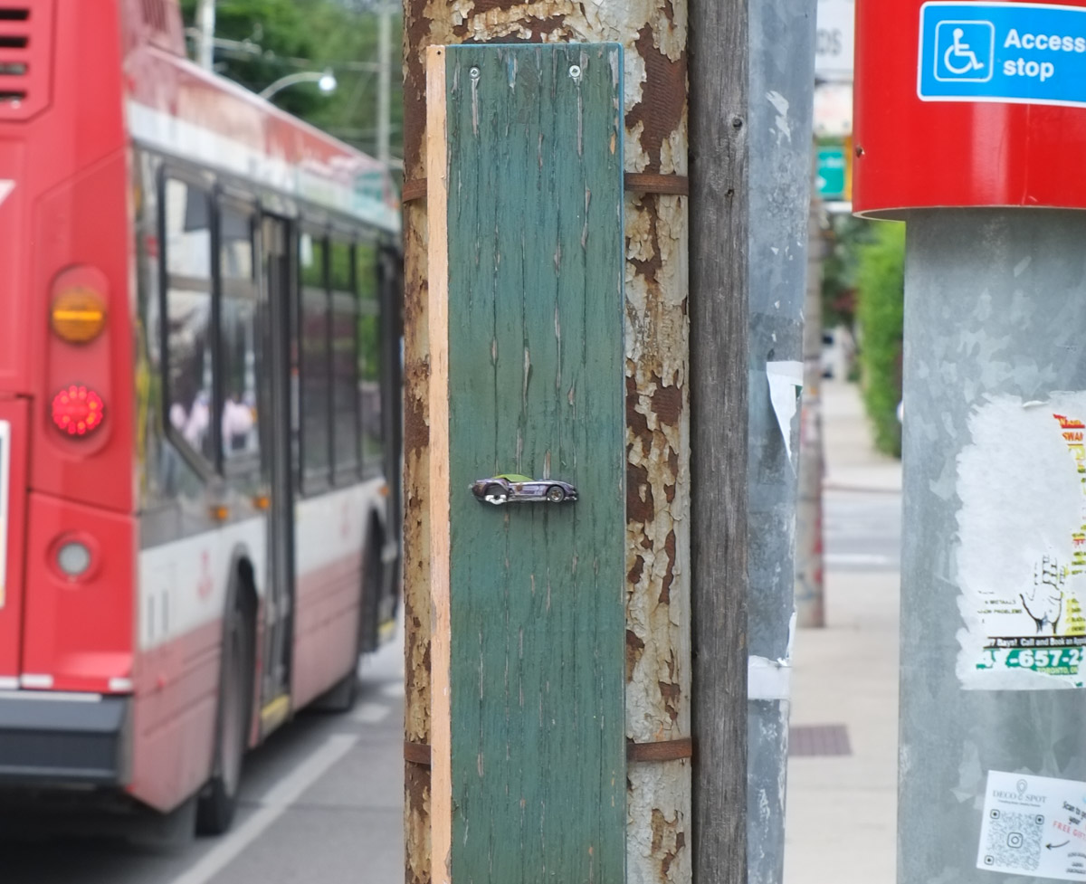
below: Miniature racer, art on a pole by Joseph Lammirato.
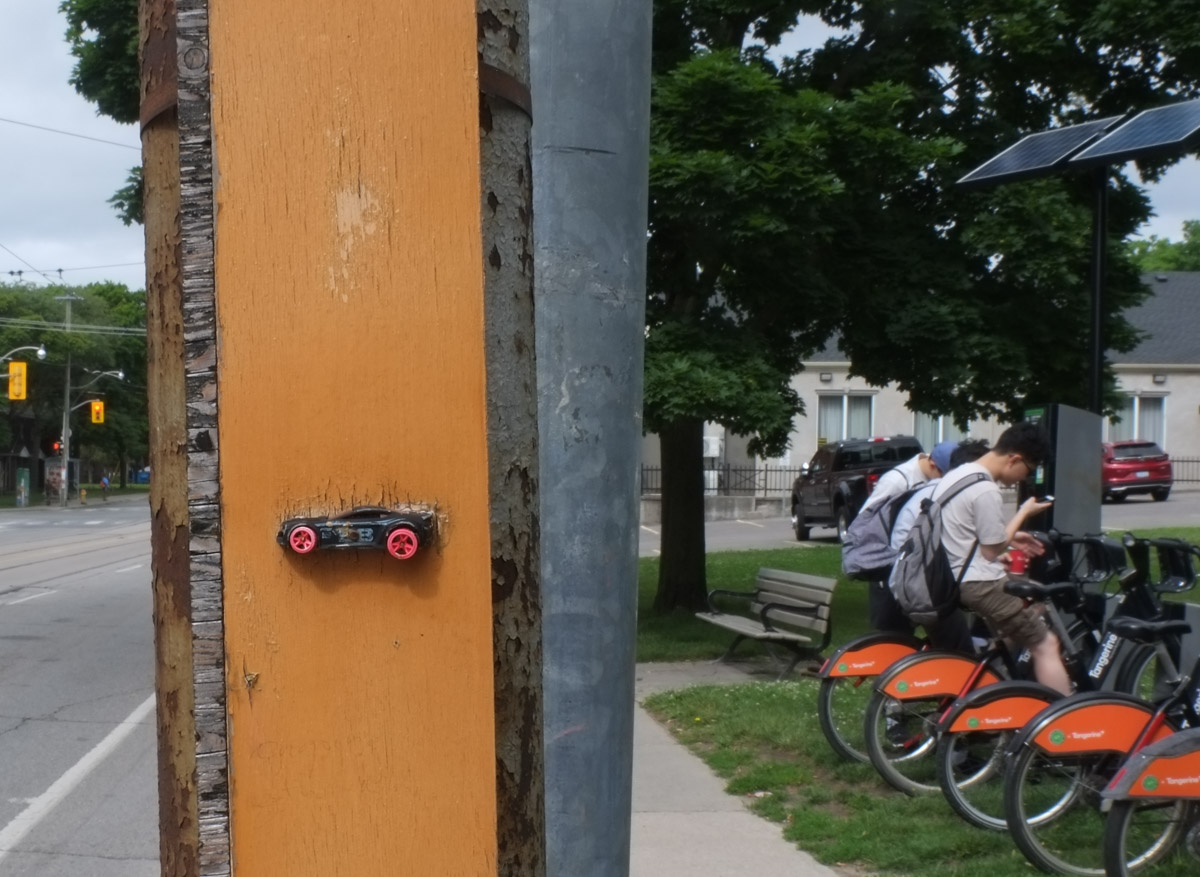
… and another! You’ll find lots more on his Instagram page (@joseph.lammirato)
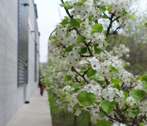
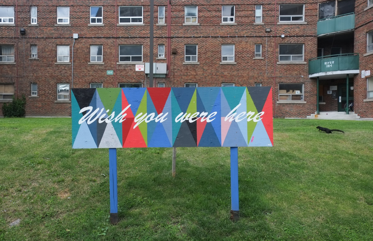
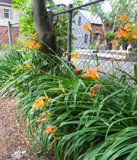
below: Flower Power happiness

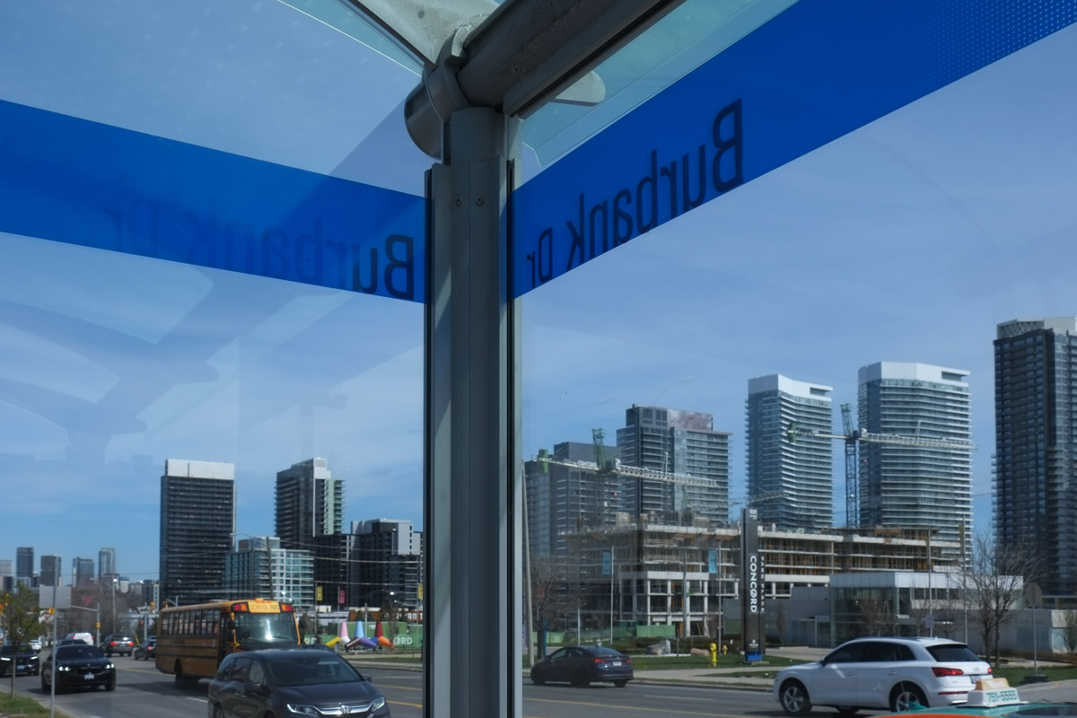
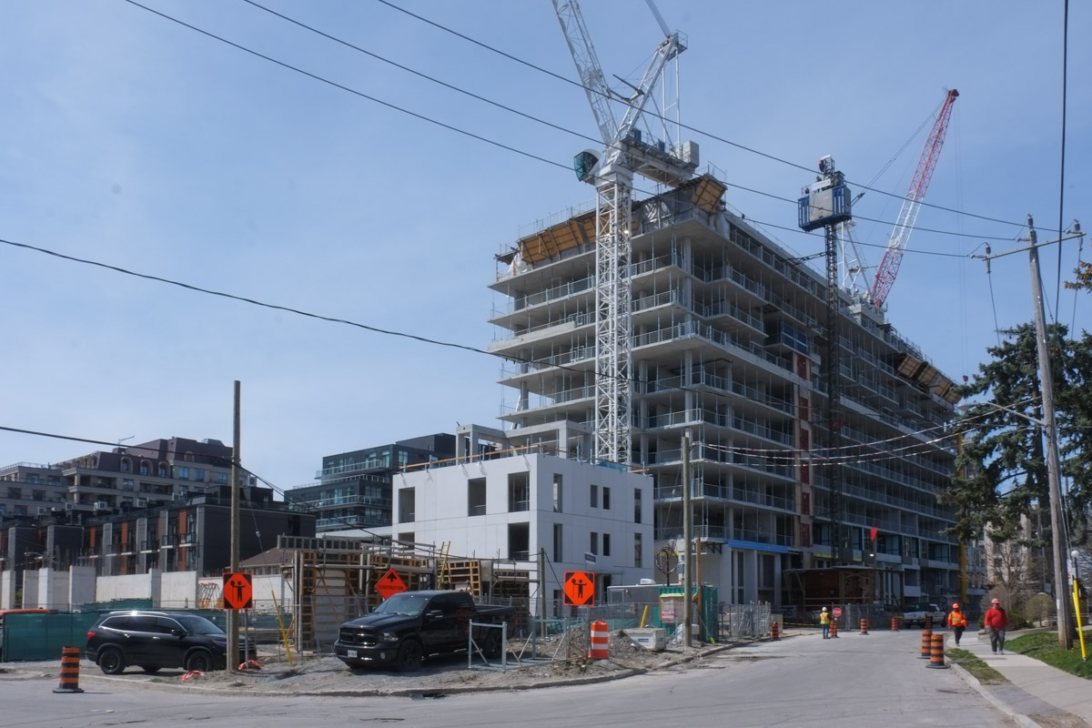
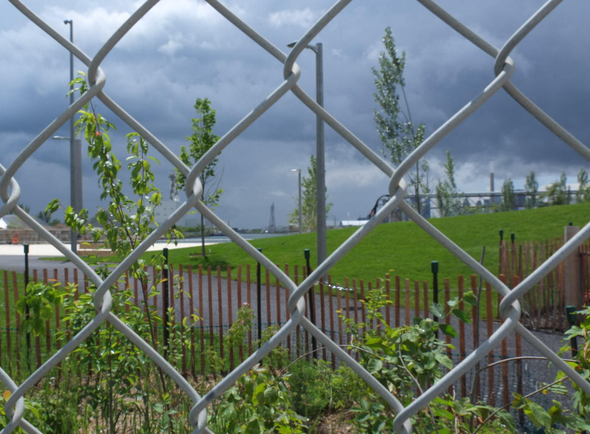
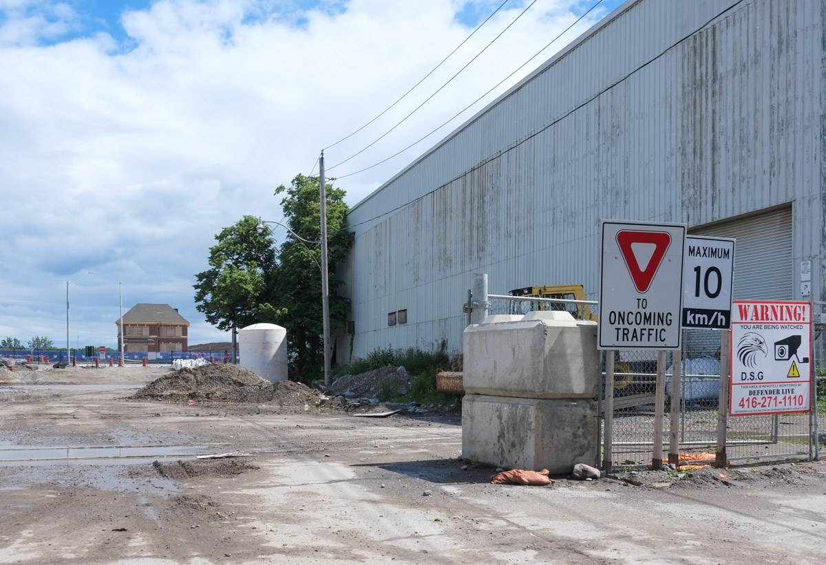
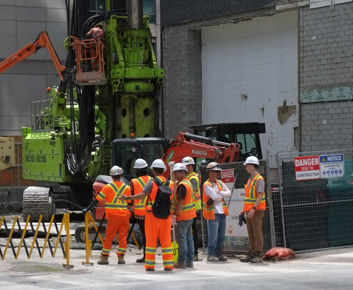
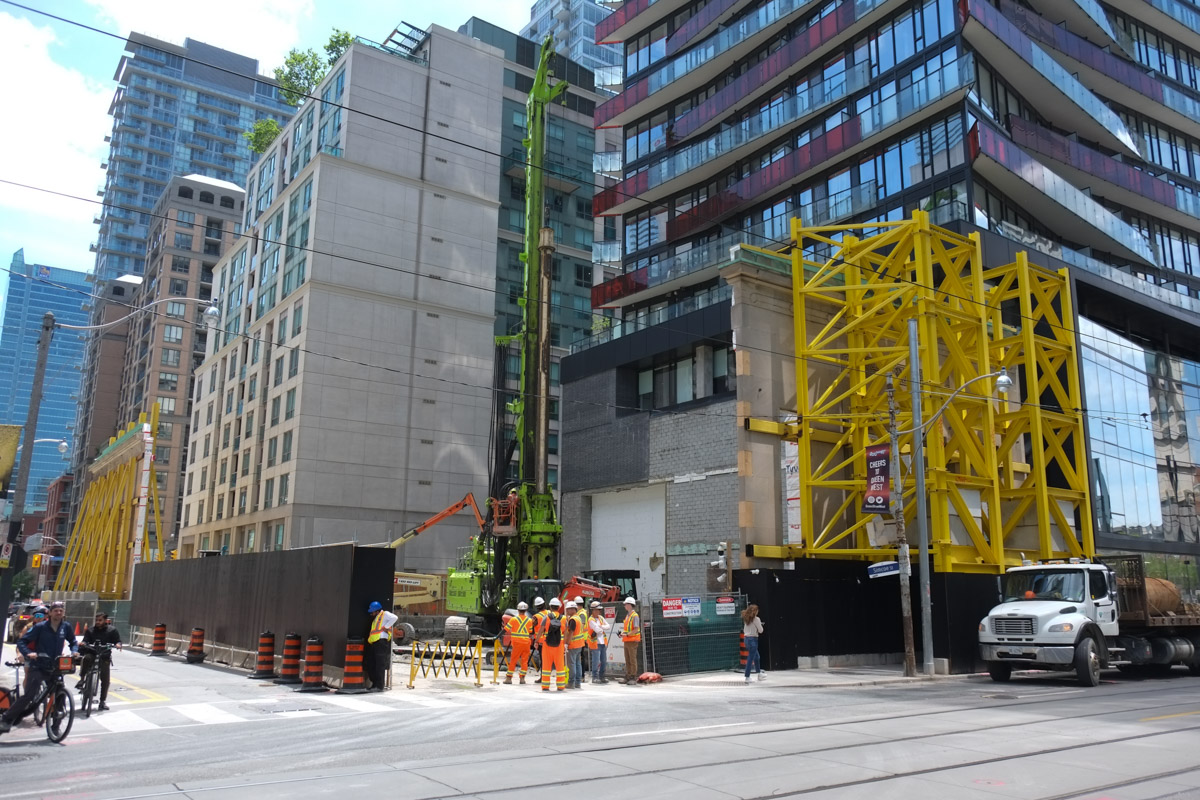
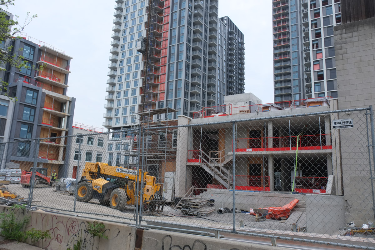
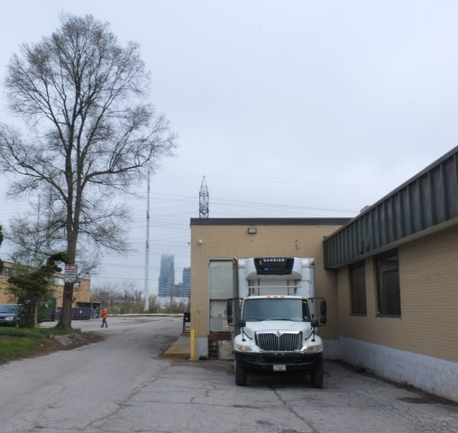
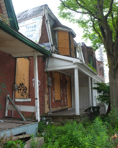
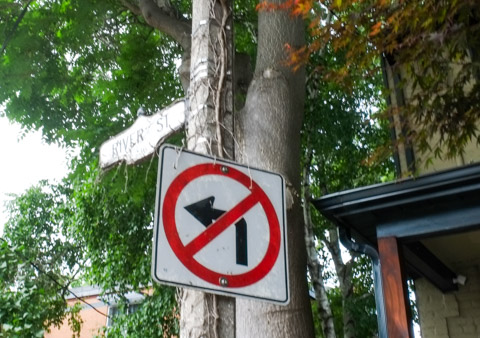
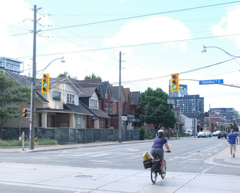
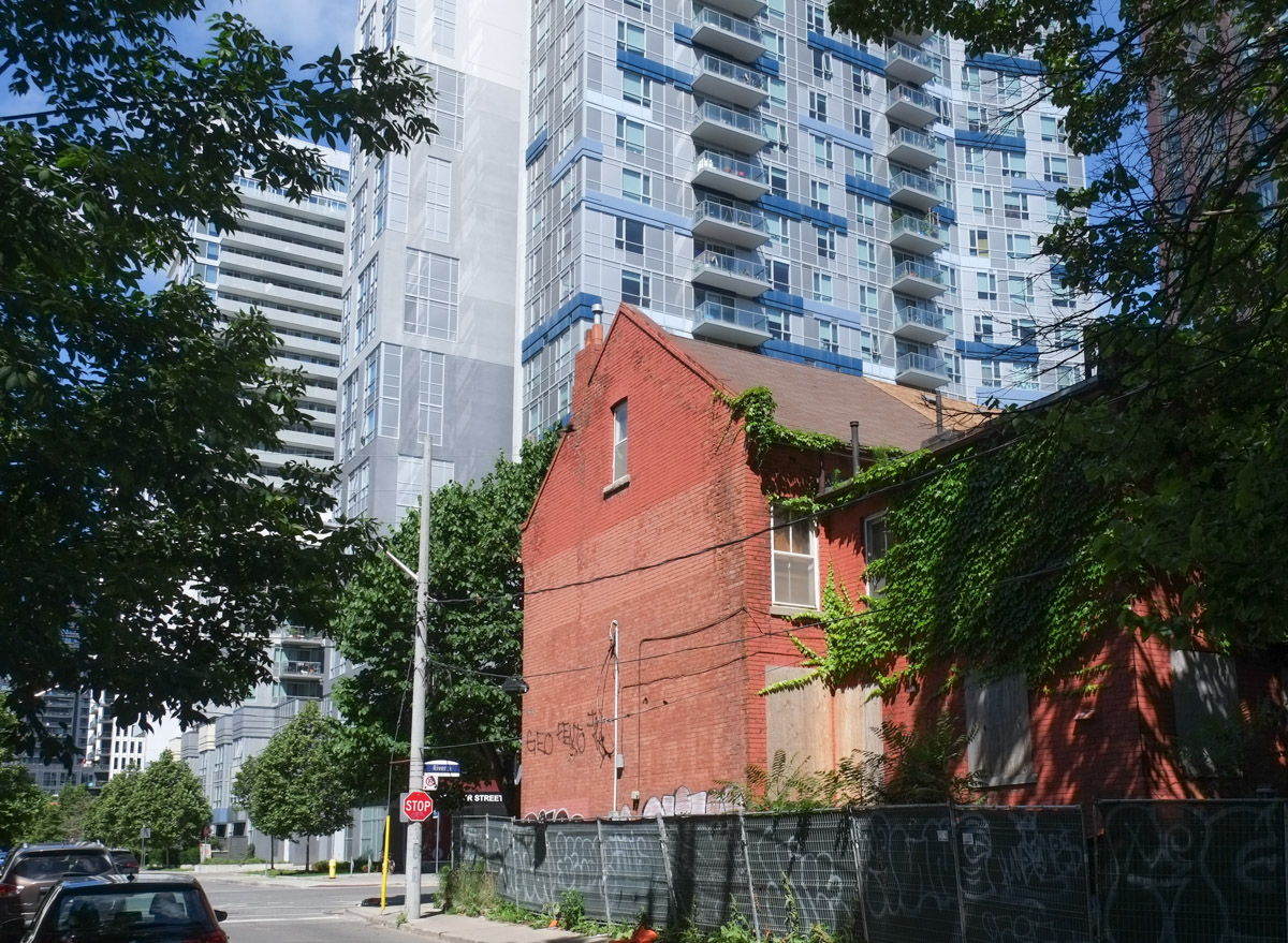
below: The north end of River Street (north of Gerrard)is showing signs that redevelopment is in the works.


below: If you are driving north on River Street, chances are you are headed down the hill to the Bayview Extension. The alternative route is a small street that swings left and joins up with Spruce Street.
below: It also leads to access to Riverdale Park. – there’s that green pedestrian bridge again. From here you can see Broadview Avenue on the other side of the ravine.
below: Back to River Street, and let’s head south.
below: St. Sava, Serbian Orthodox Church.

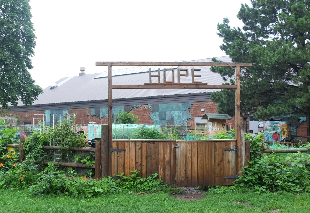
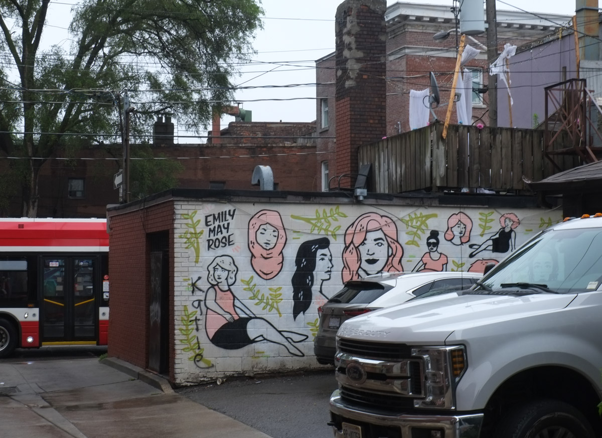
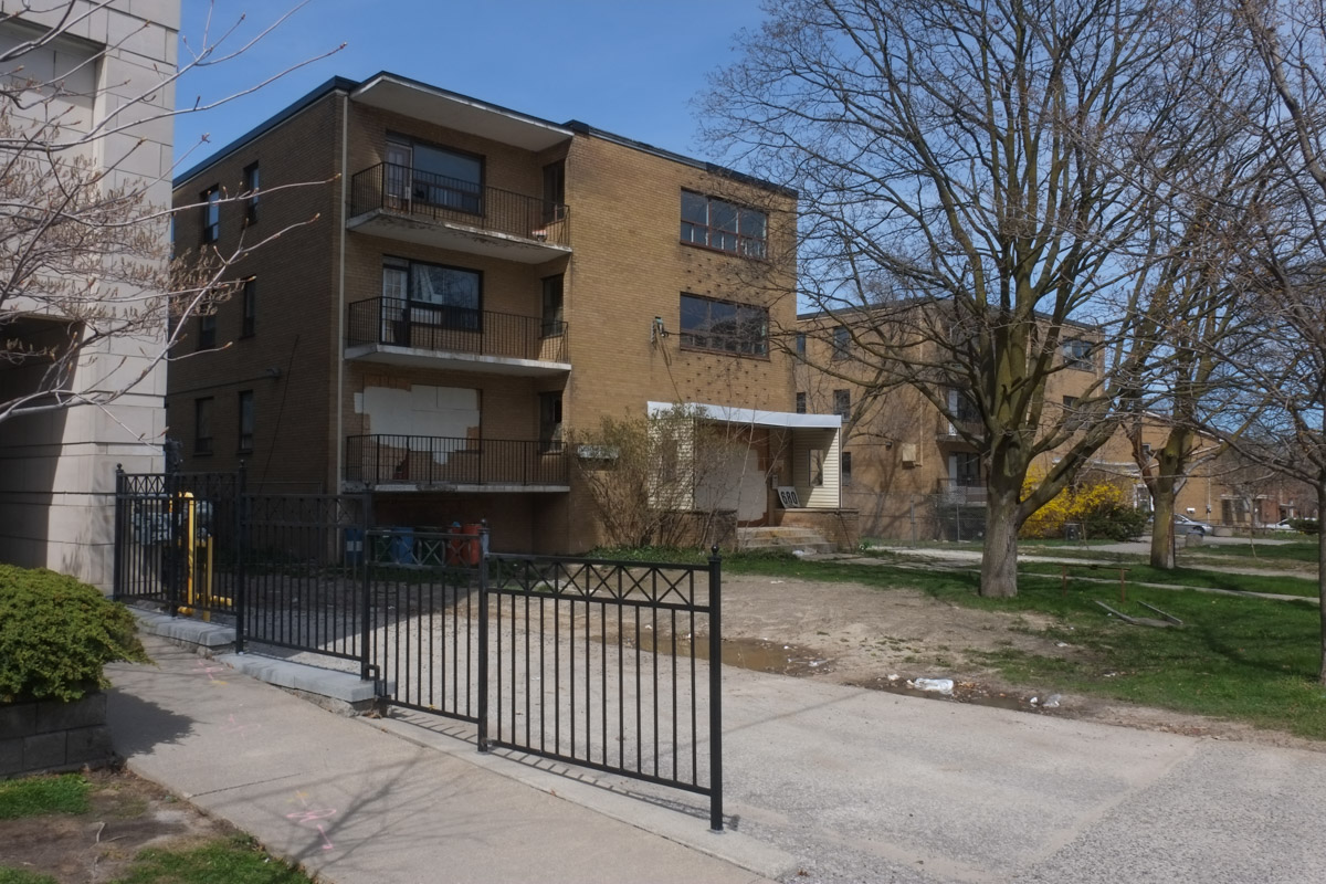
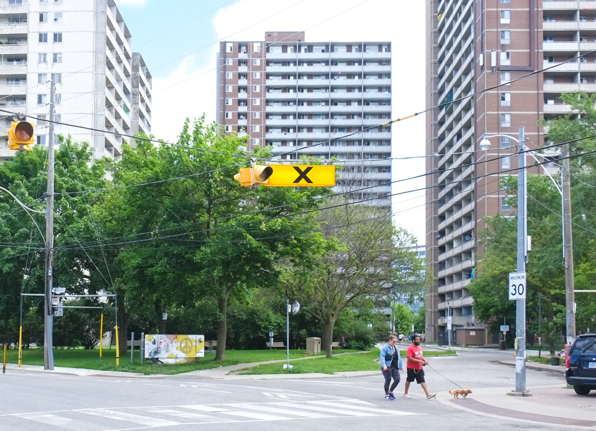
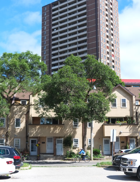
below: Walking past some of the older Regent Park brick buildings that still remain. The intersection of Gerrard and River streets marks the northeast corner of the original 1940s and 1950s Regent Park development.


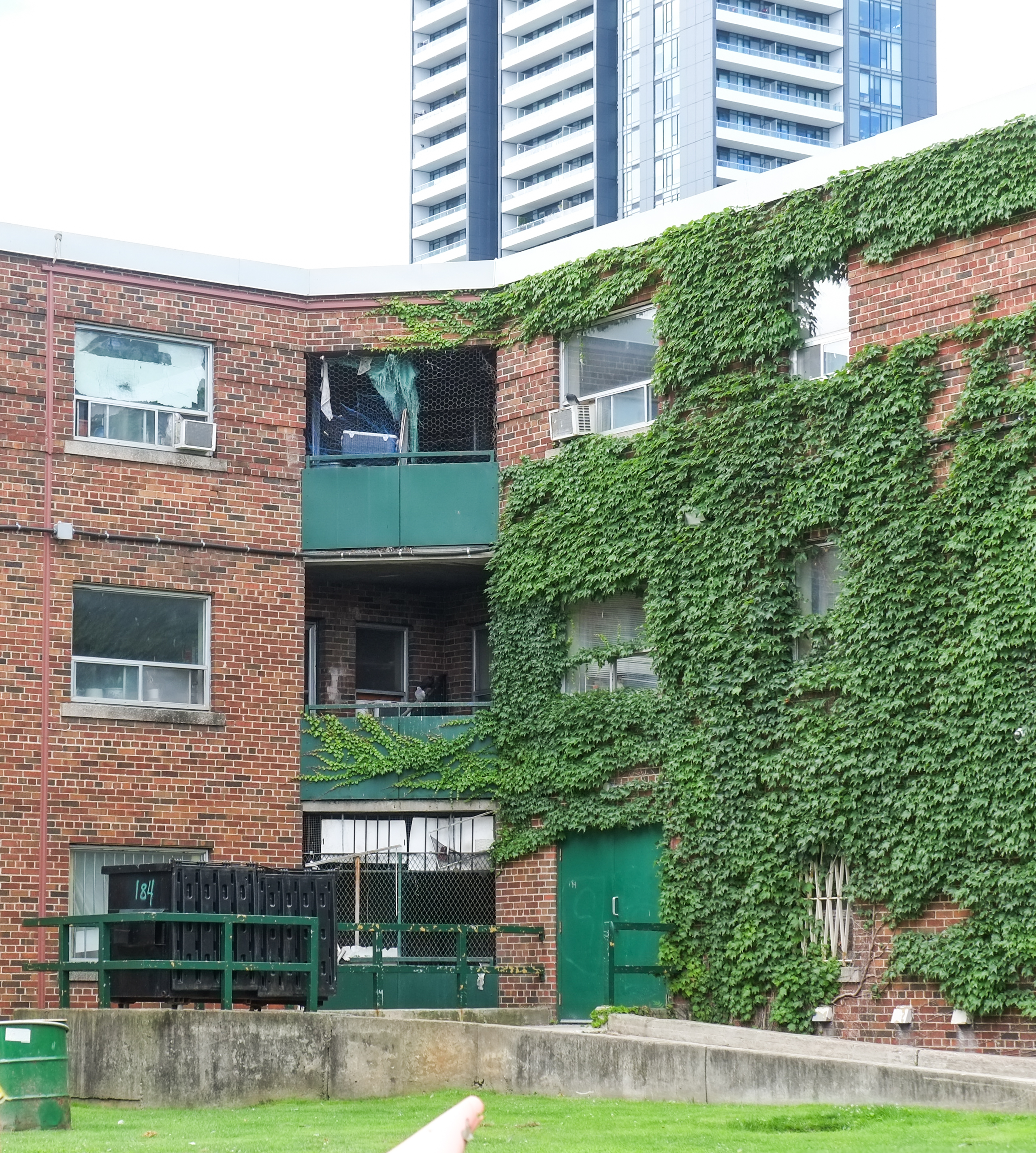
About 20 years ago, redevelopment of the area began. The work was divided into five phases. Phases 1 and 2 have been completed while the third phase is either close to completion or has just been finished. There is a lot of information online so you should be able to find many more details if you want. I didn’t feel like going down that rabbit hole!

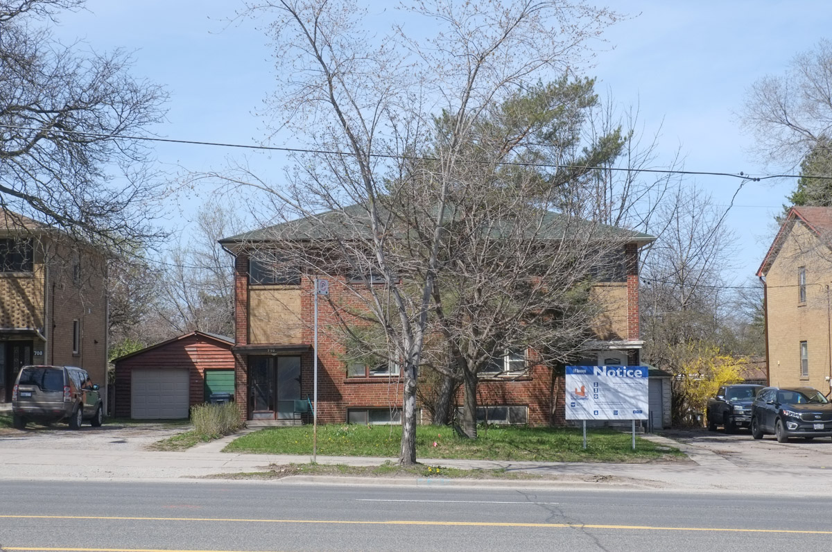
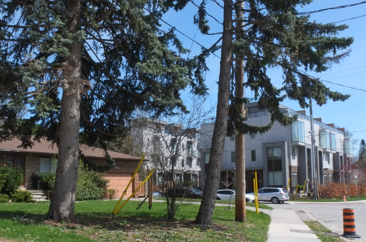
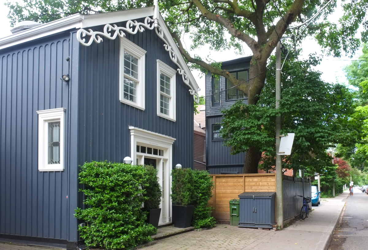
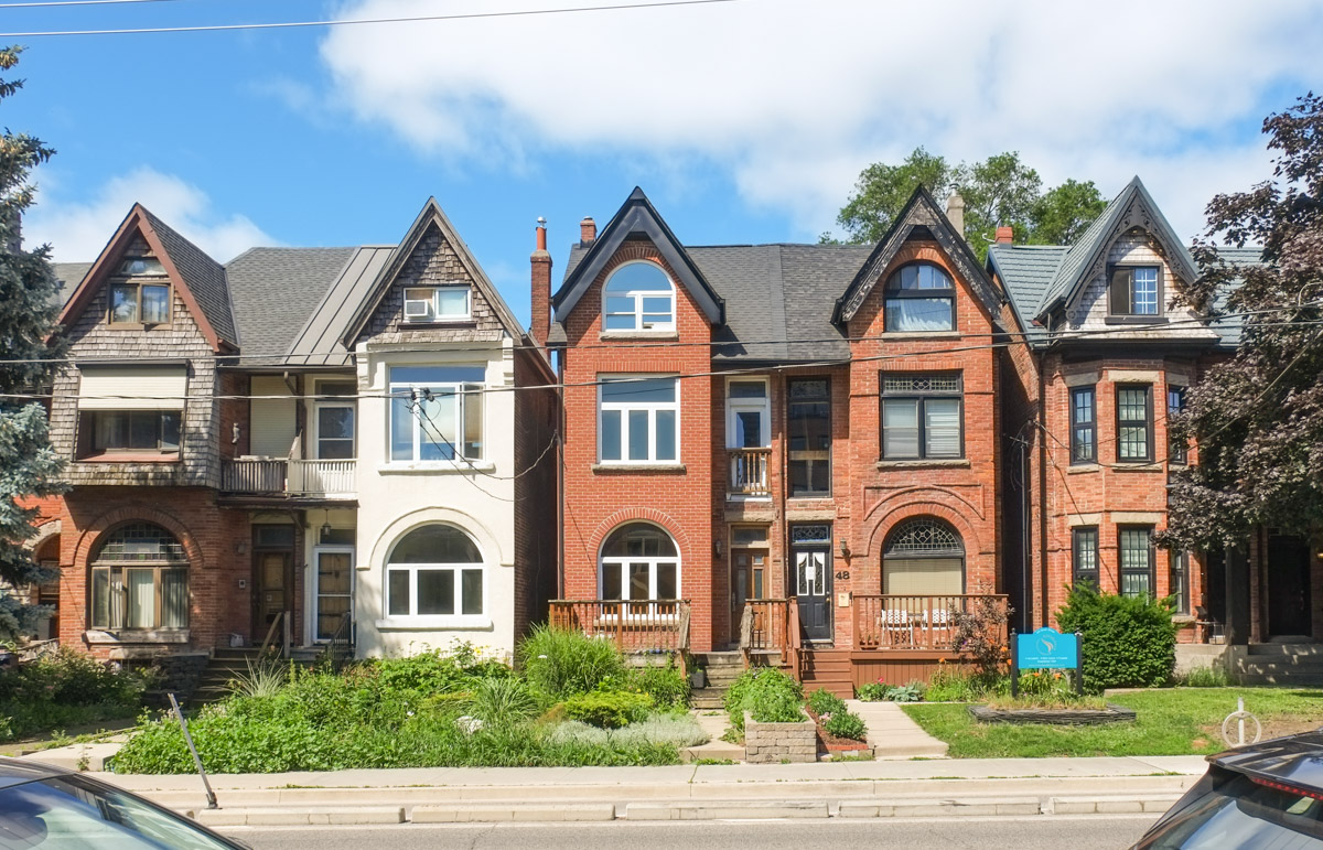
below: I was surprised at how much variety there was in the housing that I saw.
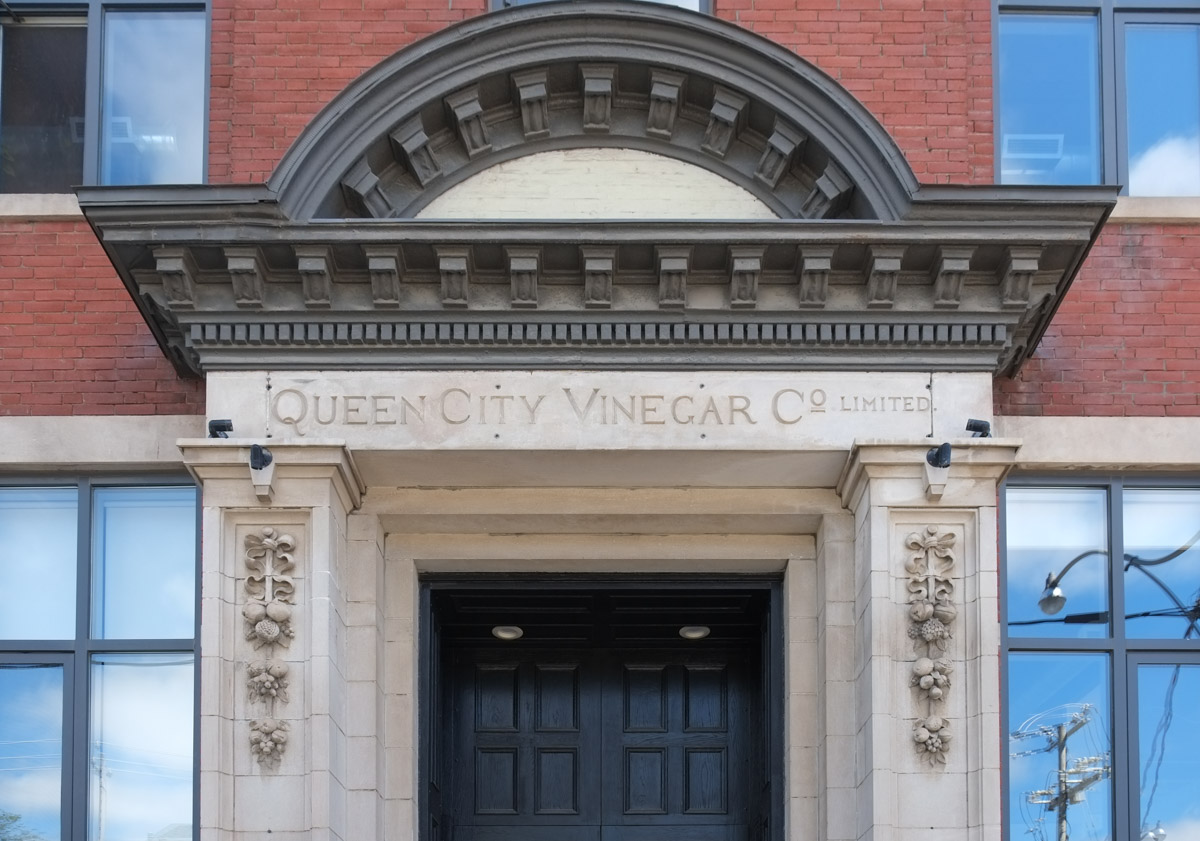
below: Queen City Vinegar Co. Ltd. factory built in 1908 and converted into lofts (residential) in 2008.

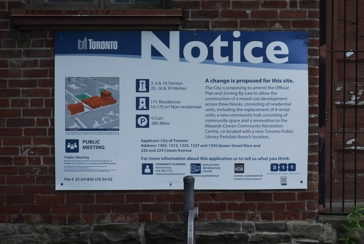
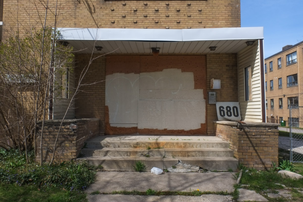
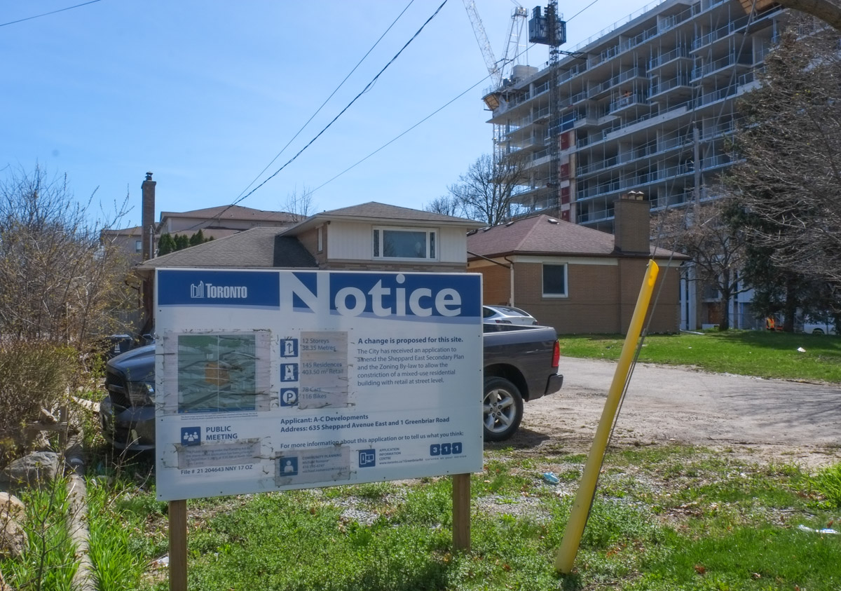
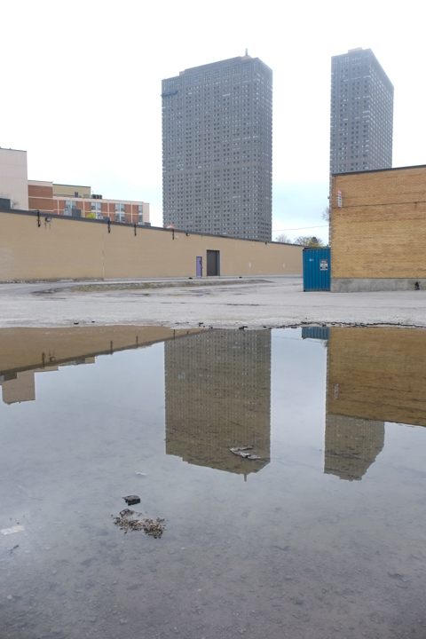
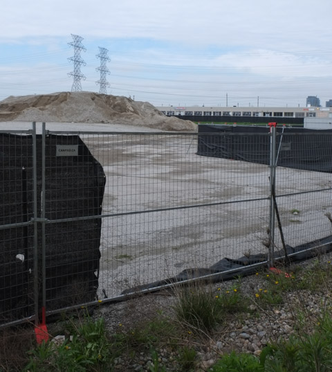
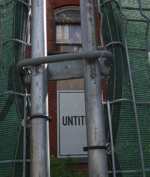
below: Stalled development (Dare I say arrested development?) According to the development notice sign, the original file dates from 2017. Even by Toronto standards that is slow!

below: Behind the red hoardings is just a vacant lot. Nothing seems to be happening here. When I said arrested I was not implying anything criminal…..
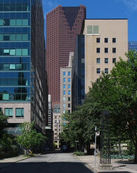
below: Of course the CN Tower can be seen here too! This is the view along Shuter Street.

below: Dundas, looking west towards River Street with tables in front of Bevy Coffee. The slightly darker brick building was the Adam Beck Box Factory where cigar boxes were once made. Like the Queen Vinegar Company mentioned above, this building has been converted into lofts (Tannery Lofts, mis-named as this wasn’t a tannery! But it does sound sexier than Box Lofts!).

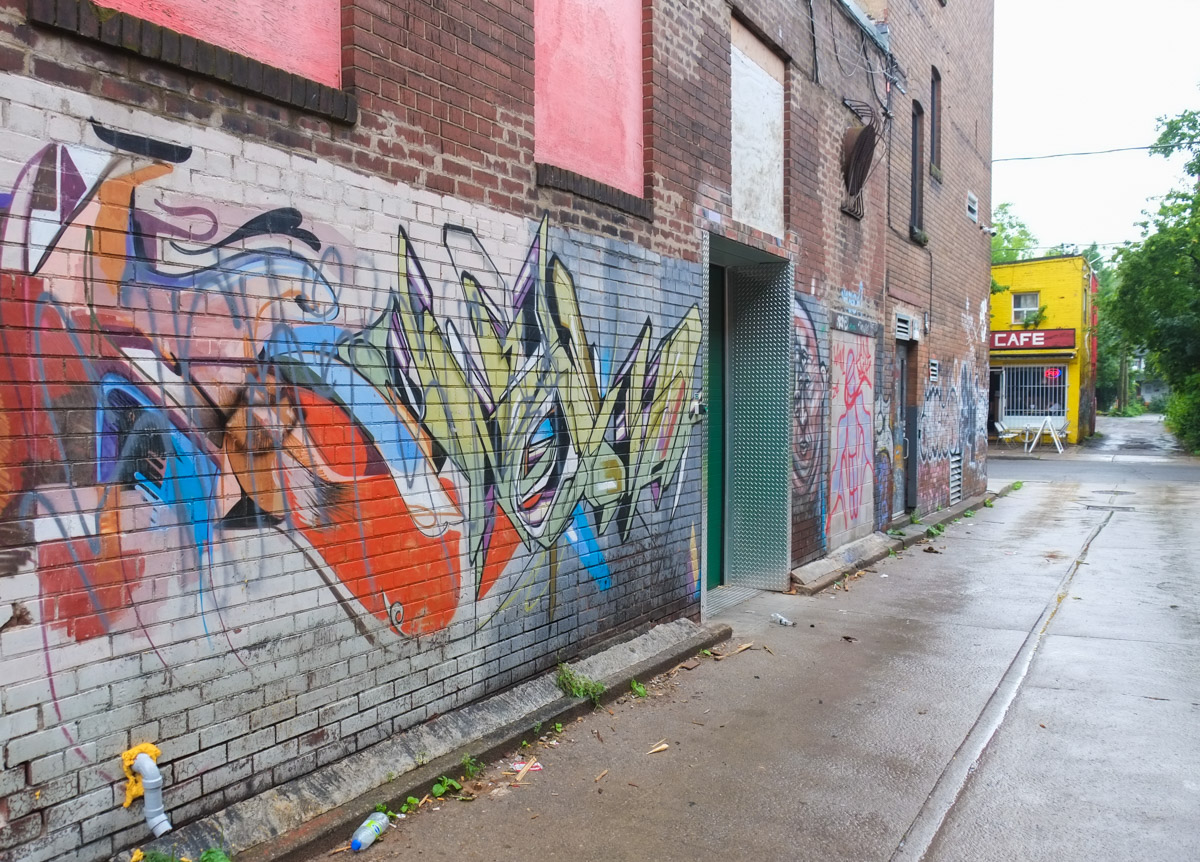
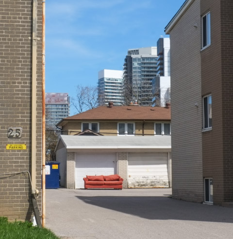
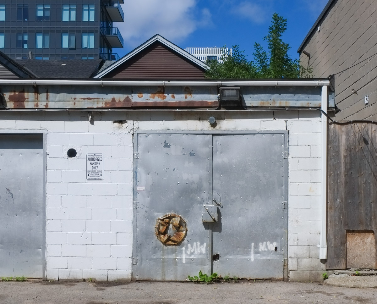
below: Similar location, but from the parking lot and alley behind – brick building is the Tannery Lofts

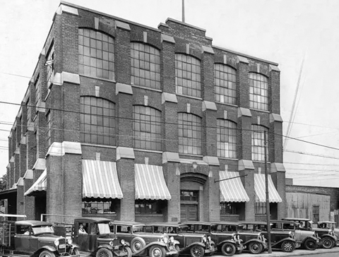
below: 1930s view of Beck’s cigar box factory
below: Monsters ready to box

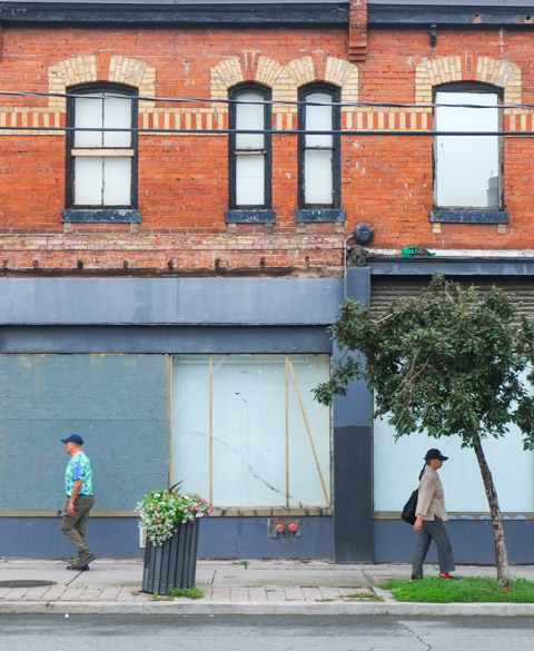
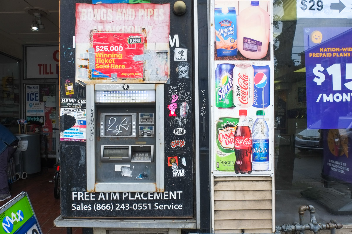
below: River Variety is no more.

below: No more gyros or poutine here.

below: At Mark Street, more old and new

below: Every child matters

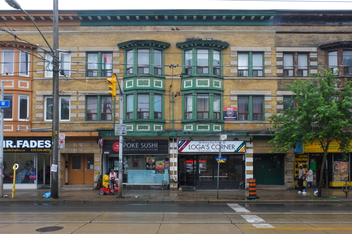
below: West side of River Street, at Queen

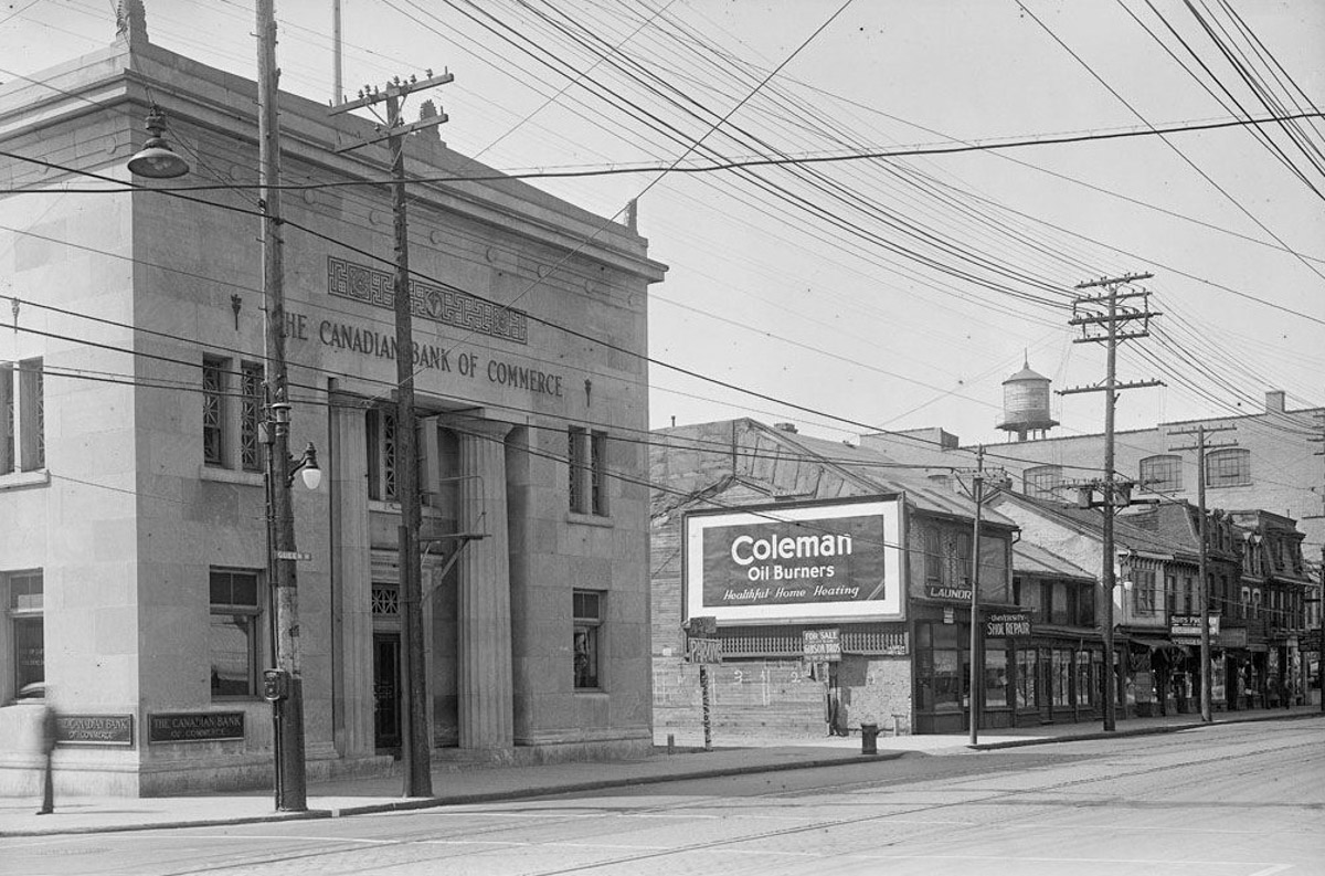
below: Old photo from 1914, working on the Queen Street bridge over the Don River, looking westward towards River Street. The light coloured bank building is still on the southwest corner (see above photo). The red brick structure on the northwest corner is also still standing, although an additional storey has been added to it.
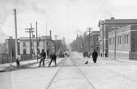
photo credit: City of Toronto Archives
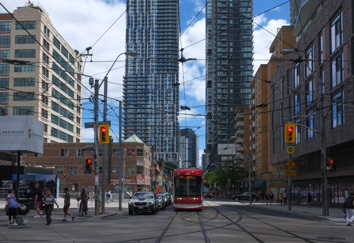
below: Looking north on River Street from King. South from here River becomes Lower River.

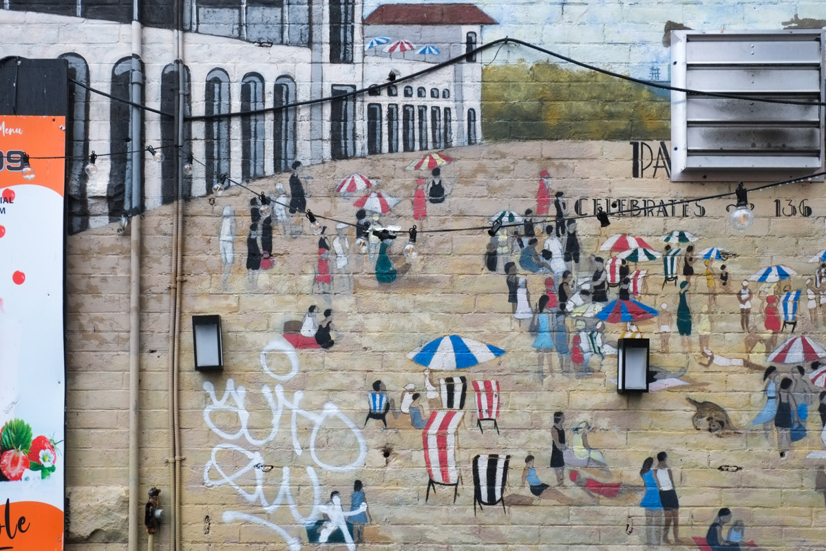
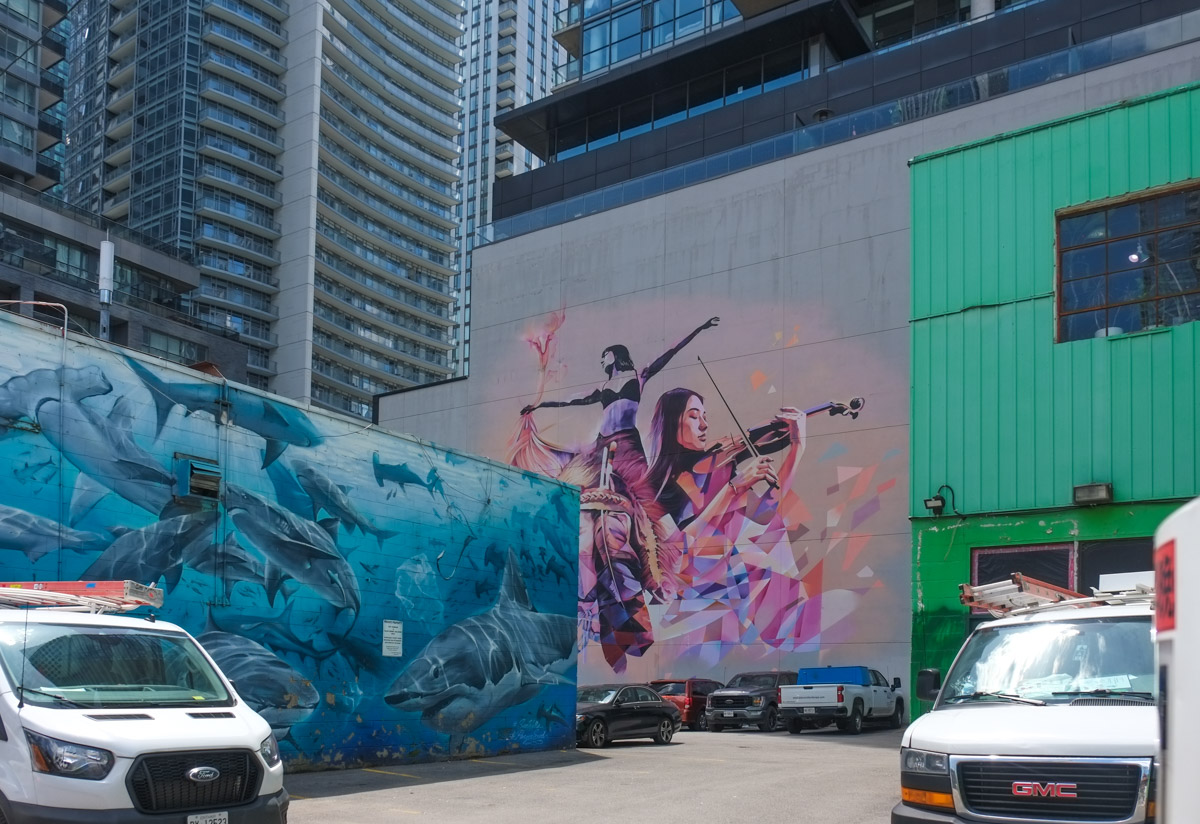
below: Part of the mural on the side of Toronto Humane Society (Queen & River) painted by Uber5000
below: Parked in the bike lane.

Note: River Street is serviced by TTC bus route 121 that runs between Gerrard (just west of Broadview), then down River to Queen before heading west to the Esplanade and Union Station.