A Saturday walk about with friends

Looking at people. Ordinary people. Going about their summer lives.


A Saturday walk about with friends
Looking at people. Ordinary people. Going about their summer lives.
There is no theme to this blog post. It’s just a description of some of the things that I saw as I walked down Bathurst Street the other day after taking the 512 streetcar to St. Clair West station. In a lot of ways its like other busy Toronto streets, some houses, a few corner stores, and an alley or two along the way. A little bit of architecture and a little bit of history round out the story.
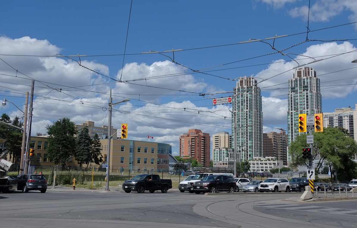
At St. Clair West and Bathurst, the northeast corner remains vacant. About four or five years ago there was a gas station and car wash on this corner. St. Clair West subway station is just to the east, just beyond the trees on the right hand side.
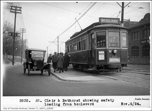
below: I went looking for an old photo of this corner and this is what I found. It’s from 1924. If the streetcar’s destination is Caledonia, then it is going westward. In 1924, St. Clair was the northern edge of the city and very little development had occurred here. It is interesting to note that the streetcar tracks came first, then the development. In addition, I’d love to be able to read the sign about dogs but the resolution of the photo is not good enough. An ad? A sign saying no dogs allowed? Or something else?
below: Of course, no vacant lot remains that way for long. At the moment, three 30 storey towers joined with a 6 or 7 storey podium has been proposed for the site but it is still in the re-zoning and planning stages. The light brown building to the left is St. Michael’s College School (boys school).

below: New development on the southeast corner of this intersection is almost complete. People have moved into the units above while the finishing touches are put on the lower retail floors. Developments like this are all over the city. Developments that look great (maybe?) on paper but are lackluster and banal at street level.

below: As I walked south on Bathurst, this mural caught my eye.
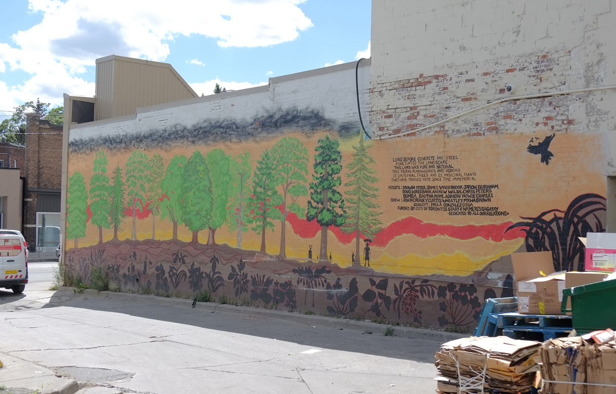
Words written beside the mural:
“Long before concrete and steel
Punctuated the landscape
The land was pure and natural
This mural acknowledges and honors 13 trees and 21 medicinal plants that have thrived here since time immemorial.”
The mural was funded by Toronto’s Start program (street art) and Na’Ma’Res Sagatay, a residence for indigenous men that is nearby.

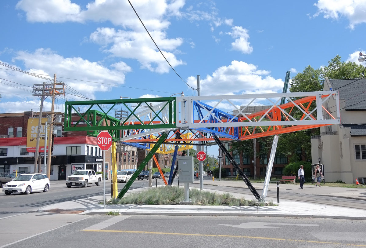
I will admit that the main reason that I was walking in this area is because I wanted to check out the new public artwork that I’ve read about at Bathurst and Vaughan. It is “Three Points Where Two Lines Meet” by Christian Giroux and Daniel Young and apparently there is some controversy about it.
below: For those who don’t know that intersection, it is V-shaped. This photo shows the approach to the intersection from the north, on Vaughan. I took this photo because my first reaction to the scene was “Ugly. Ugly is what Toronto does”. From this angle the sculpture gets lost in the visual noise.
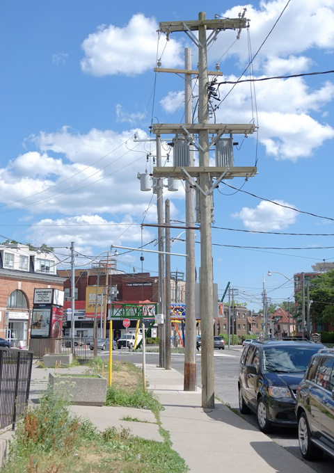
Cities have rules and regulations for public art. It needs to be weatherproof and graffiti-proof. It can’t block the view of drivers and pedestrians. No sharp edges or structures that people might hurt themselves on – note the two black poles are to prevent people from hitting their heads.

From Giroux & Young’s website: “Taking its form from the orphaned triangular site on which it sits, this artwork produces a new urban room by combining a multicoloured truss structure, the triangular plot of wild grasses it encloses, and an encircling sidewalk thats acts as a podium and plinth. Located between the converging energies of uptown and downtown, the structure densifies an intersection already clotted with utilities and challenges established forms of urbanism and spatial representation in Toronto.” Think of that what you will. While you’re thinking, you can check the website for more photos and information.
below: An interesting (unique?) roofline on what turns out to be The Occult Shop. I made one mistake – I neglected to cross the street to go inside and find out just what one can buy here.

below: These people can still be seen in the space above the doorway at 1358 Bathurst.

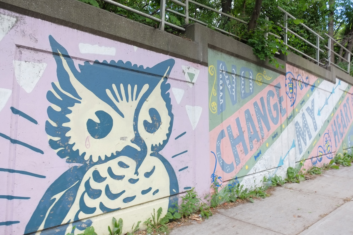
Continuing south on Bathurst, as you go downhill towards Davenport Road, there is a retaining wall beside the sidewalk on the west side. This wall was painted back in October 2013. The city paid $23,000 to two Brooklyn NY street artists (Patrick McNeil and Patrick Miller, together known as Faile) who designed the mural and in turn paid other artists to paint it.
The mural is quite long and I only have a few pictures of bits and pieces of it.


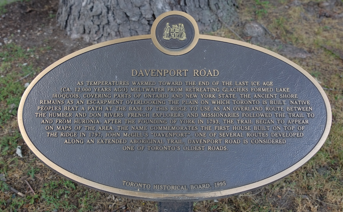
below: Apparently Davenport Road is considered to be one of Toronto’s oldest roads. It follows the base of a ridge and provided a route between the Humber River in the west and the Don River in the east.
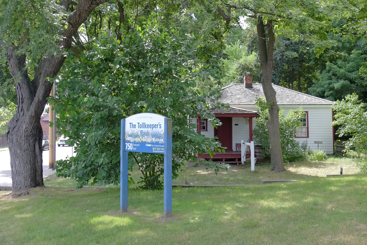
below: There is a park on the northwest corner of Bathurst and Davenport, The Tollkeeper’s Park. The old house, the Tollkeeper’s Cottage, is now a museum run by The Community History Project. It is open on Saturday afternoons (and some Sundays during the summer)
below: And across the road is Tollkeeper’s Lane. There are chairs everywhere in this city not usually as comfy looking as these.

below: An old Comet parked in the alley

below: Tomatoes and other vegetables growing in a front yard.

below: A hand, part of an Elicser mural. This mural, which is on both sides of the railway underpass just north of Dupont, is still there. Photos can be seen in a blog post from Nov 2014 (Yikes! Have I been blogging that long?!).

There are a few remnants of a more industrial past in the area near the railway tracks.


below: Another door – I doubt that it’s open now, or that it ever will be again.
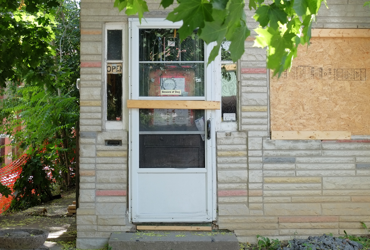
below: These windows, and the house too, probably won’t be here much longer either.

below: A very standard row of semi-divided houses; a common sight. Hundreds (thousands?) of these were built around the city.

below: And a not so usual semi.
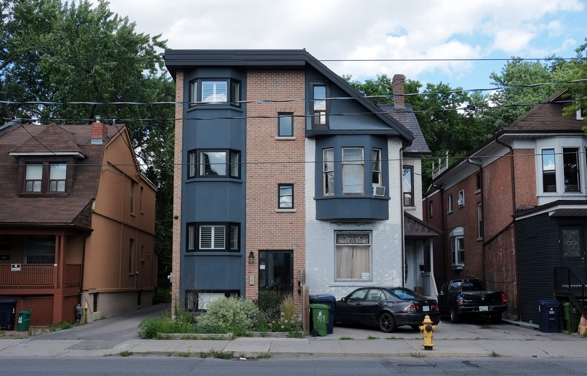
below: A touch of art deco.

below: Slight larger houses, with turrets even! (or is there another name for this architectural element?)
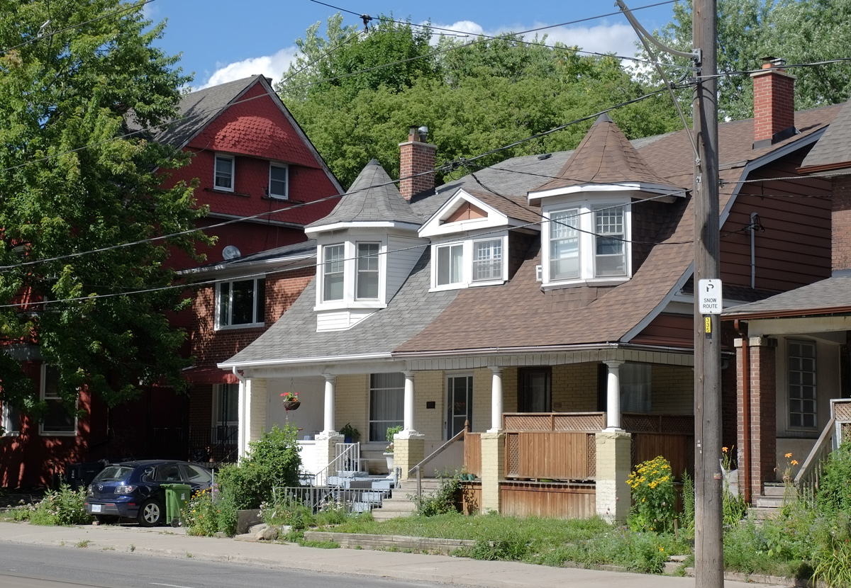
below: This is part of Coopers Hawk Lane which is just south of Dupont.


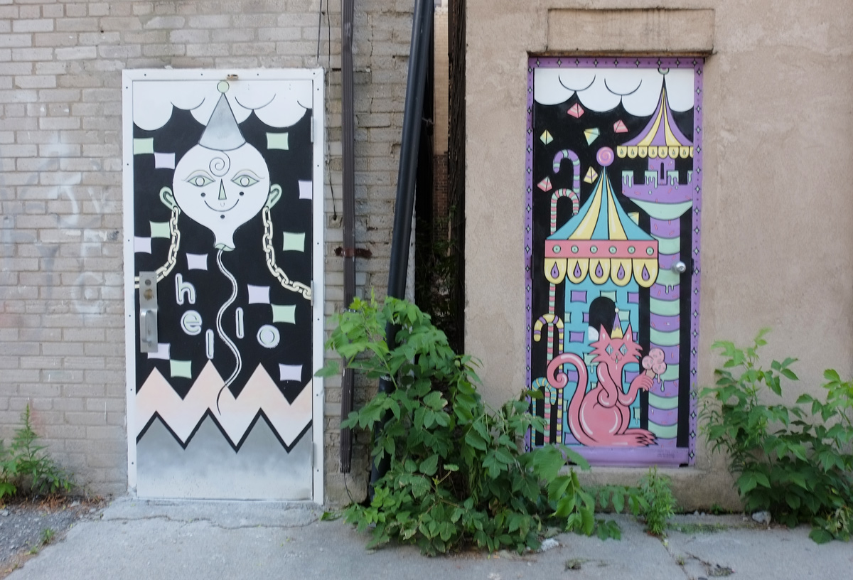
below: In another nearby alley …. a pink cat eating ice cream
below: And a gate with a frame, and the laundry beyond.

For a number of reasons, I started walking late yesterday.
It was overcast and the the light was flat.

There were a few people sitting around and/or hanging out – on their phones, alone with their thoughts, meeting with friends, or just passing by.

Catching moments and freezing them in time – is that what photography is? To call the images random would be farfetched. They are edited starting from the first decisions such as where to aim the camera and at what moment do I take the picture. But they are candid in that the people are unaware, unposed, and to me, more natural. These women are just hanging out outside the Eaton Centre, together, yet separate. Are they waiting for someone? What is the woman on far left reacting to?


As I mentioned above, the light was flat. It was a grey afternoon and that is always a challenge. As the day becomes darker, the ambient light provide by windows increases.
below: Is it my imagination or is her neck longer than most? I don’t think that I’d be able to wear four leather rings around my neck even if I wanted to.

As I was processing some of my photos, I got to thinking about my grandmother. I remember driving with her at dusk and into the early night. She would get excited about being able to look into people’s windows after they’d turned on their lights but before they’d closed their curtains. We could only get a quick glimpse as we passed by – were there pictures on the wall? What was on TV? What were the people doing? But even that was enough to spark our imaginations and we would create stories about the possible lives of the people in those houses.
below: Talking at the bar

below: Sitting at Timmies

Night windows offer a different view. Things that are hidden during the day become visible.
below: Interior renovations in progress

below: The mundane and austere railing and fluorescent light in the stone bank building caught my attention. As I was lining up the shot I noticed the woman (who had obviously noticed me first).


And then it started to rain. My feet were getting wet and my umbrella wasn’t big enough so I called it quits and went home.


It’s early April and we’re all tired of winter but it lingers on. How are you coping? Yes, you!

below: Is this wishful thinking? or maybe just a little too optimistic?

below: Spring is in the air? They forgot the question mark. Is the cat reacting to the disconnect between the sign and the reality? … or maybe its expression is because it’s just realized that it’s sitting beside a book about Justin Trudeau?

These were the only signs of spring that I saw yesterday as I walked although I noticed that someone was trying to cheer things up. Not sure how long these have been sitting outside. They’re looking a little weather worn and grubby. Hope may be wearing a bit thin?

below: Elsewhere yellow birdies were playing hockey.

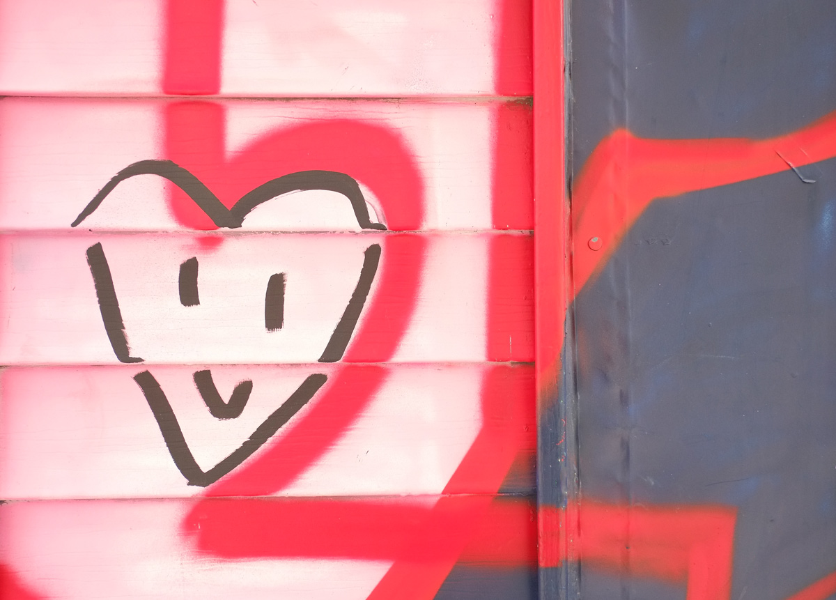
Spring was elusive but what I did spot were a couple of stikmen that I don’t remember seeing before. I also noticed more smiley hearts popping up in unexpected places again. First, some of the hearts…


below: Cool Woodstock makes an appearance too (a yellow birdie of a different kind). I don’t think she’s too happy to have a bird sitting on her head.

below: The guitar player is now playing with heart.

And the stikmen….


below: Instead of wooden, this stikman is a drawing in a frame.

below: Is that a little orange head of a stikman in the bent frame?

….. and then back inside for some warmth!

I will leave you with one last look at a window full of yellow chicks and Easter bunnies, hope for spring (Hope springs eternal? Hopes of spring are eternal?).

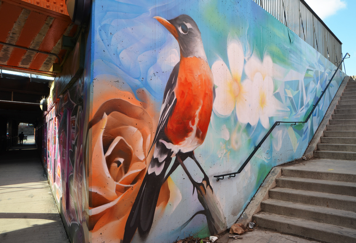
The other day I headed towards Dupont and Dundas West because I heard about a mural that I didn’t recall having seen. Here it is … and more.
below: The most westerly part of the mural is on the north side of Dundas West where Old Weston Road and Annette Street meet.
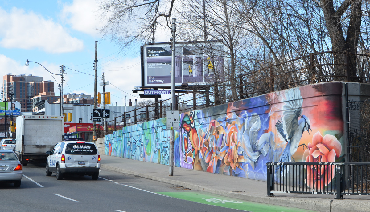


It continues along the side of the railway underpass on Dupont (it’s a confusing tangle of streets here!)

….and on the stairwell up to the West Toronto Railpath.
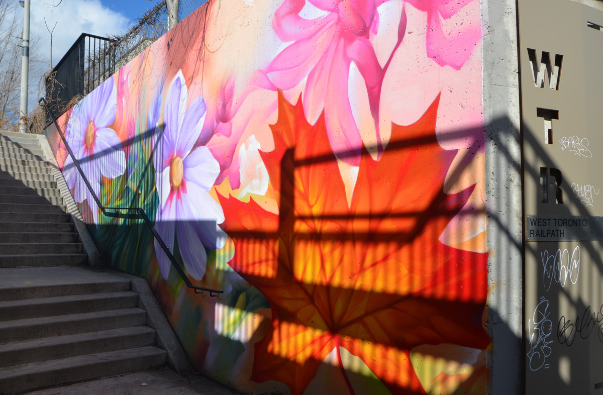
It was a gorgeous day so I walked around a bit more, of course!
below: On Dundas West
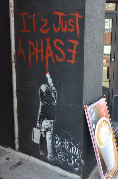
below: A row of houses with wonderful facades. You don’t many like that anymore! .. at least not on houses.
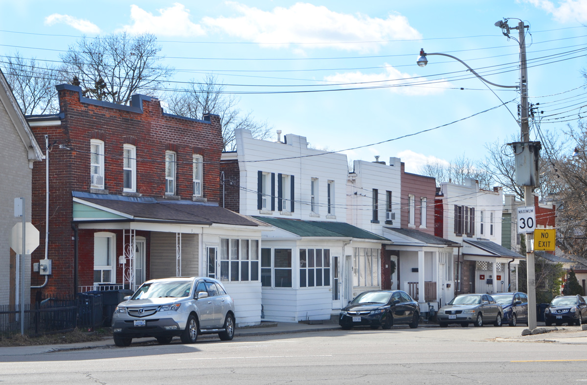
below: These fooled me at first. Interesting black and white photos looking grubby and worn… with a small McDonalds logo on the bottom right. The photo on the bottom left also has a few words in small print that give away the fact this is a McDonalds promotion. I don’t think I’ve seen any like these elsewhere – or have I missed something?

below: The large black metal staircase at the end of the footbridge over the tracks at Wallace Ave are gone. The replacement stairs are dull and bland. This change was meant to accommodate new development on Wallace.

below: Railpath window reflections.
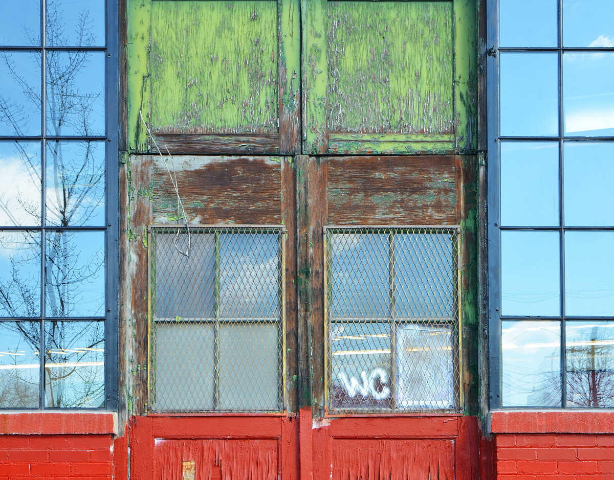
below: Also on the West Toronto Railpath, someone has hung this colourful ‘curtain’ on the fence in order to add a splash of colour to a sitting area. Once upon a time there were more chairs here. And a table if I remember correctly.

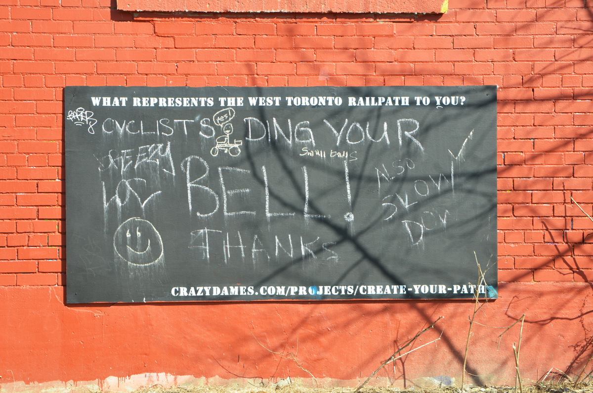
below: One of two chalkboards installed by crazydames where people have written notes to cyclists imploring them to slow down and use their bells. I totally agree! Just before I came upon this, a man on an electric bike came up behind me, silently and fast.
below: This little gnome still stands by the entrance to a convenience store. This guarden gnome has been here (Bloor West) for a few years.

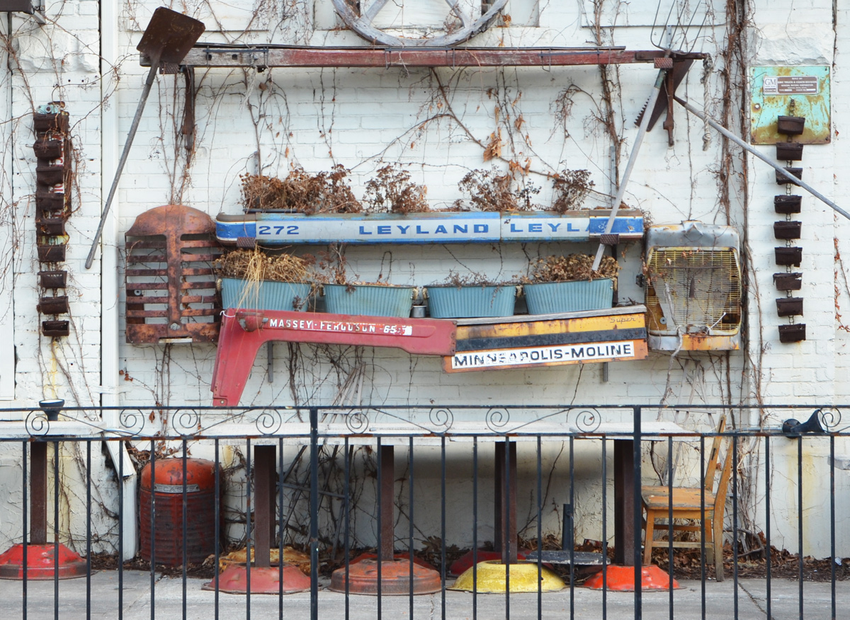
below: Reduce, reuse, recycle – here the R used is reuse. Truck and tractor parts and other bits and pieces craftily arranged and put to use on the outside of the Farmhouse Tavern. It should look better in a couple of months!
below: A fairy in a garden of mushrooms.


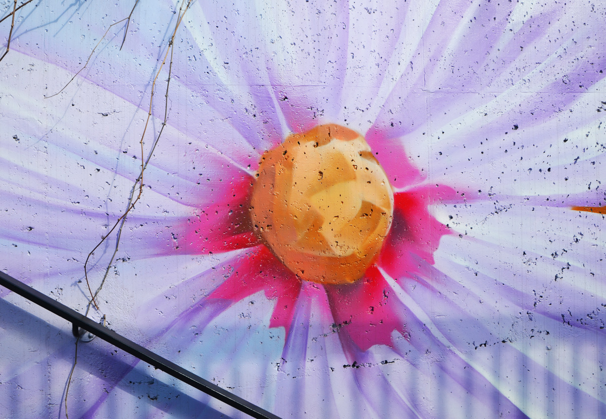
One last look at part of that mural!

I was meeting a friend at Queen and Church for walkies and coffee last Monday. I was there a few minutes early so of course I took a few pictures while I was waiting. I had come across King Street because the streetcars tend to be faster on King these days. Plus, it was a nice day for a walk.
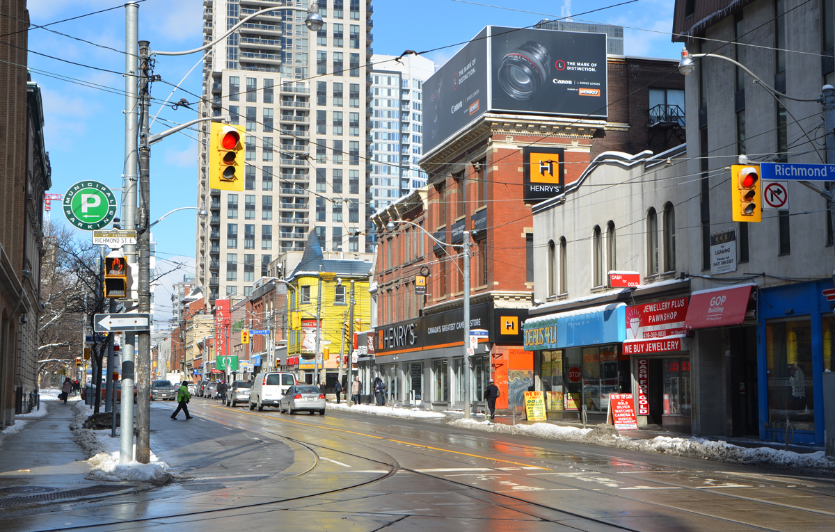
below: Looking north up Church Street from Richmond.
below: Metropolitan United Church is on the NW corner of Queen and Church. Even if you aren’t religious, there is something inspiring about the architecture. In this case, the setting adds to the grace and beauty of the building. Usually there are people around but it was surprisingly quiet that day (too cold outside?)
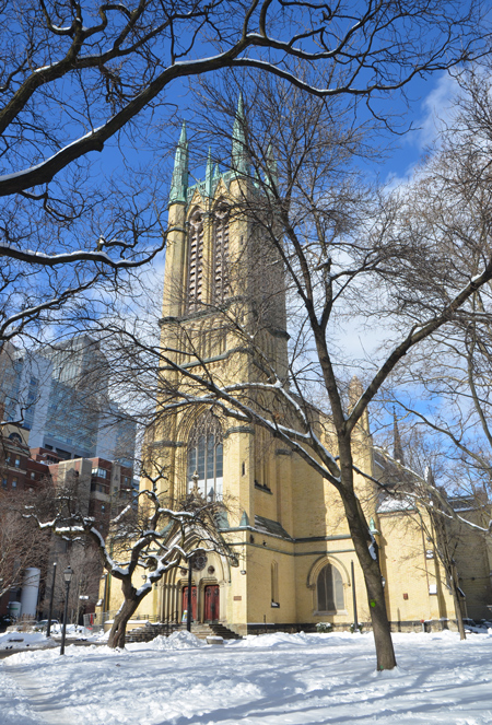
below: Take a few more steps towards Metropolitan United and then turn around. This is the view that awaits you. The intersection of Queen and Church from a different angle.
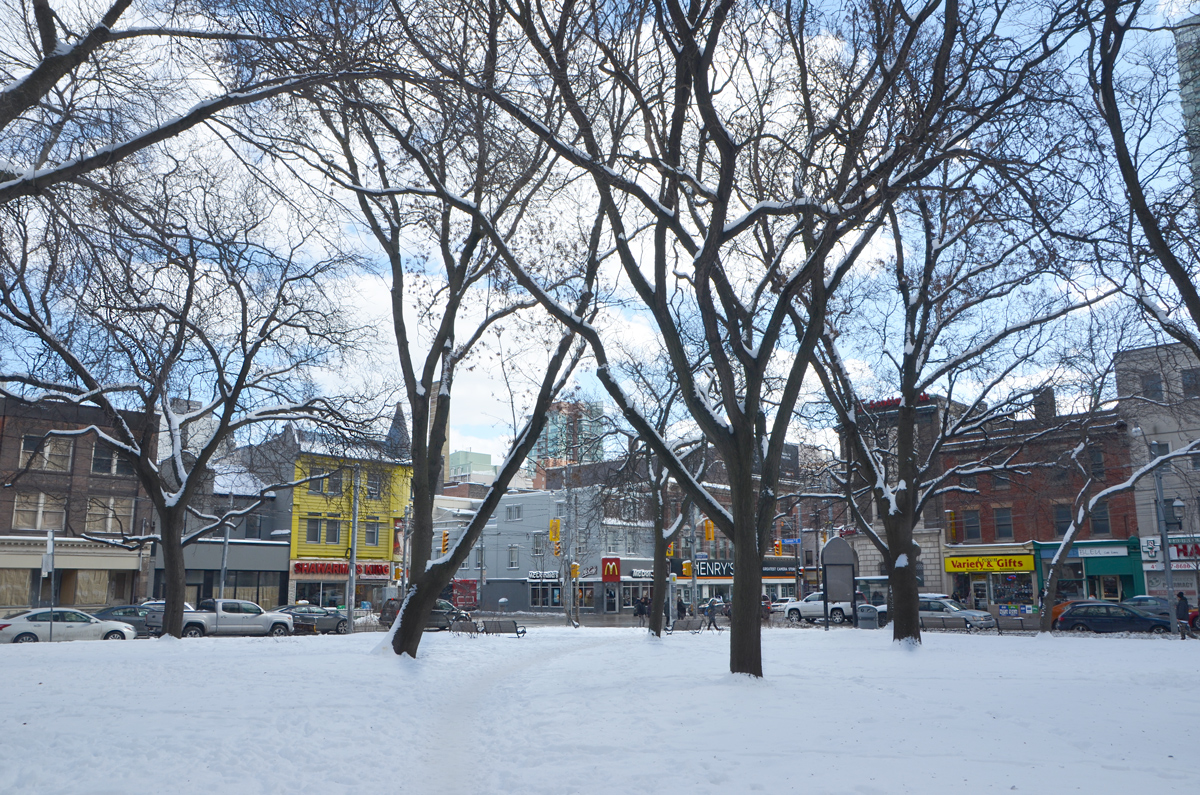
below: As I walked back to the intersection, this man walked in front of the streetcar. I think that he called himself either Cowboy Bob or Cowboy Bill.

below: Church #2. Jarvis Street Baptist Church.
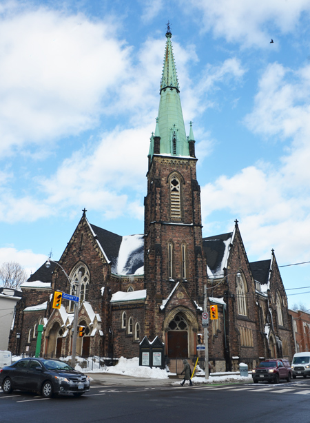
below: Yes, there are a lot of churches in this section of downtown. This is the third (and last for today’s blog) but there are many more. Grace Church through the trees.

below: A stop at Allan Gardens conservatory for warm and a washroom. If this picture is looking a little fuzzy around the edges, my camera lens kept steaming up faster than I could wipe it off.

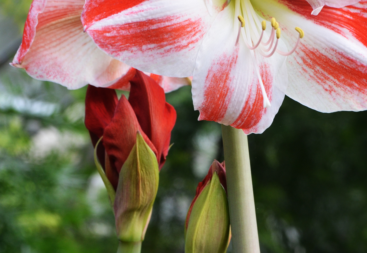
below: Every Christmas, the conservatory at Allan Gardens is decorated with many amaryllis plants. The other day, many were looking a little worse for wear. These buds were a few of the exceptions. At some point (soon?), the Christmas plants will be switched out for spring plants.
below: Barrel cacti in differing sizes in the Allan Gardens conservatory.

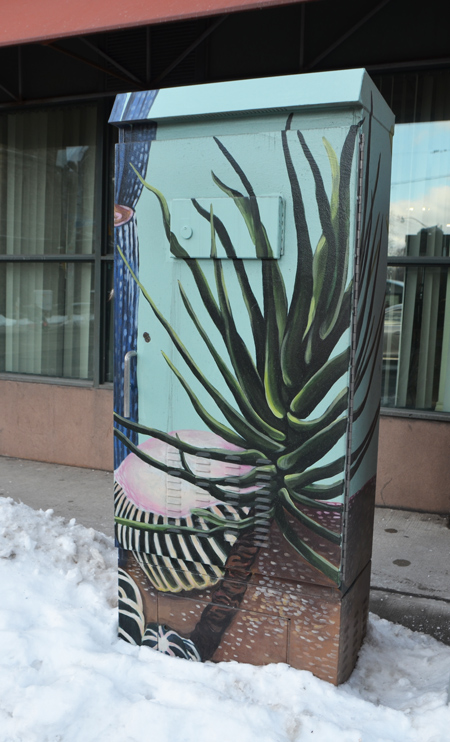
below: And just around the corner from Allan Gardens there is this painted cactus (or is it a succulent?) standing in the cold.
below: This part of Church Street is now in McGill Granby Village. There is even a lovebot on the pole.

below: “Enough is enough”, a large Church Street mural.

below: On Church Street, another redevelopment victim.
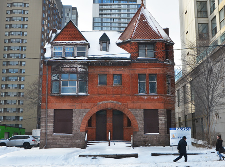
below: And just up the street, another.

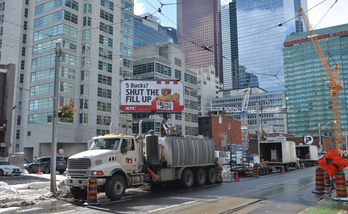
below: Trucks, construction, and condos. Ho hum. Been there, done that.
below: One set of construction hoardings has been decorated with kids’ paintings. Bright and cheerful.

below: Through the layers
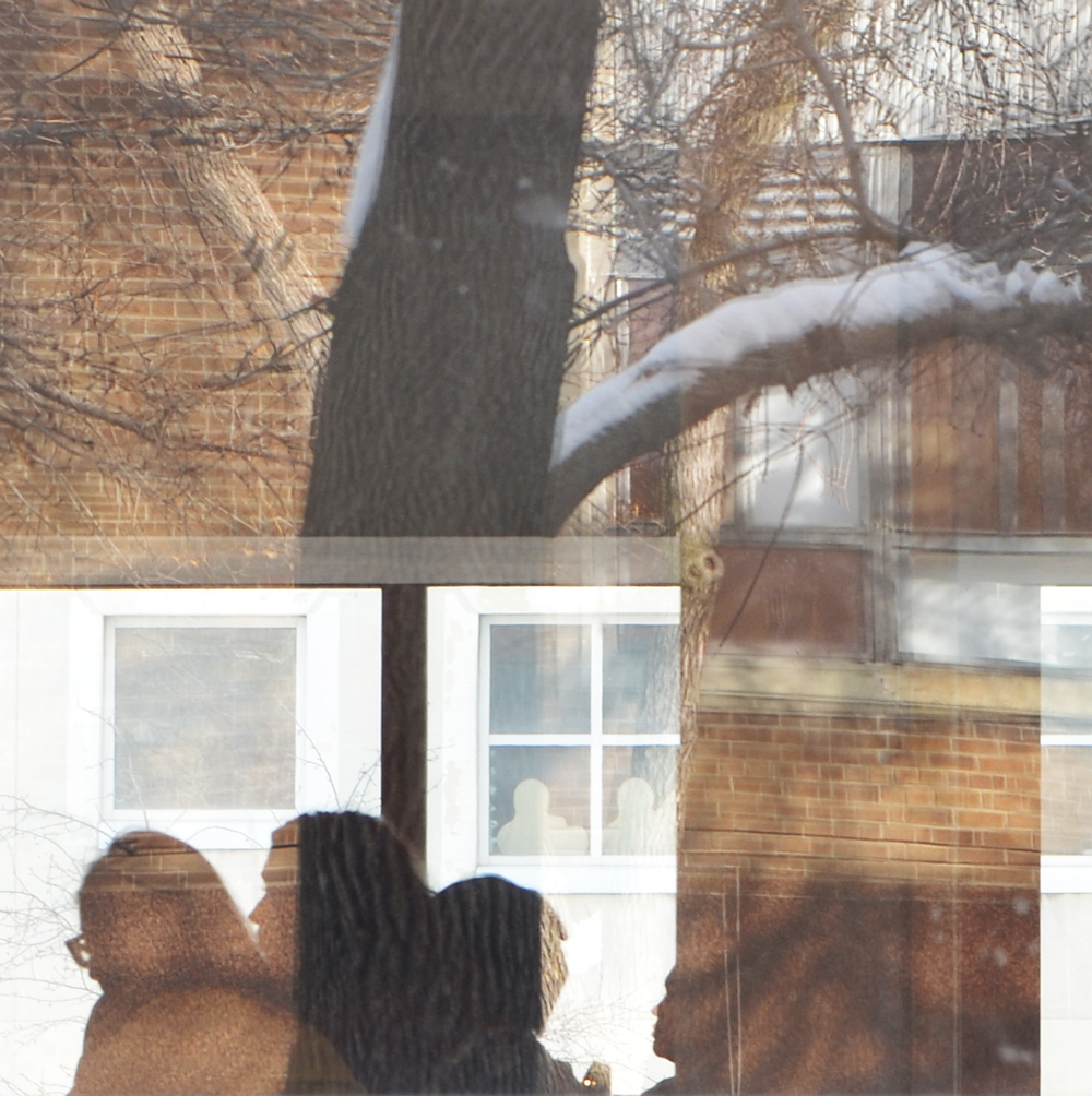
below: Icicles!

below: Trudeau senior looks down on the world.

below: The guys over the entrance to the Chang School at Ryerson are wearing little puffy white hats.

below: As we walked past Yonge Dundas Square, I stopped, took another look, and then said: “Isn’t that a new sign?”. My walking partner replied that she wasn’t sure. Neither was I.
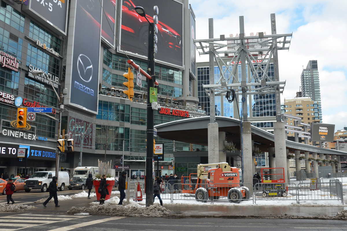
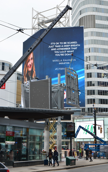
I happened to walk past Yonge Dundas Square again yesterday, and yes, there is a new sign. A big one.
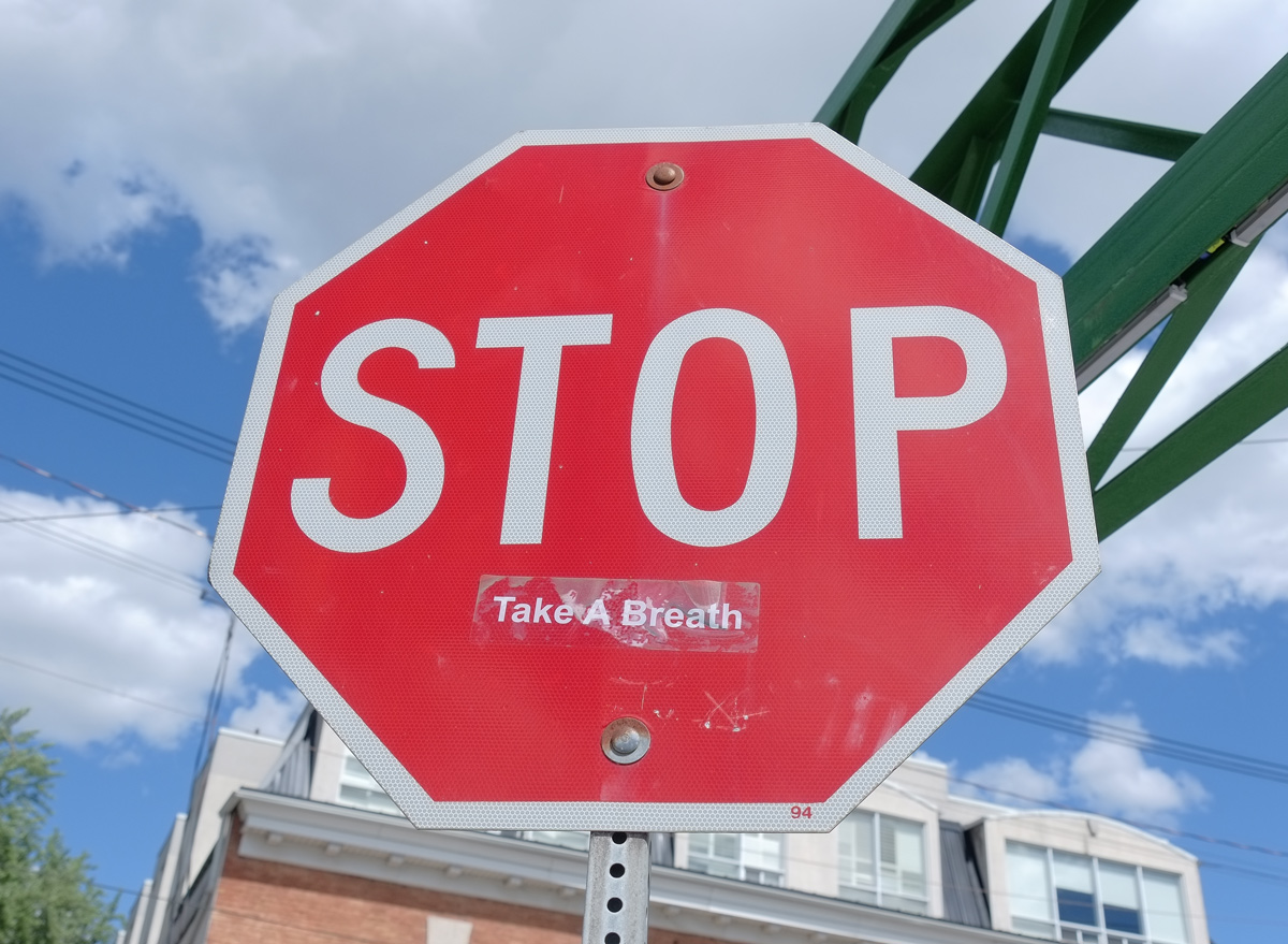
below: “It’s OK to be scared, just take a deep breath” as the fourth panel of the new sign is installed.
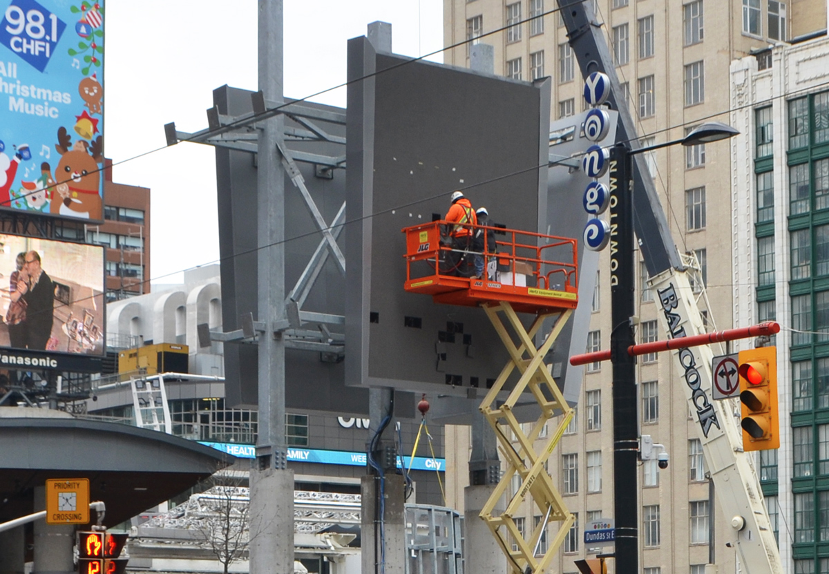
below: Working on the new sign. That billboard on the left, 98.1 CHFI is all Christmas music? Still? In February?
C’est too for now friends!
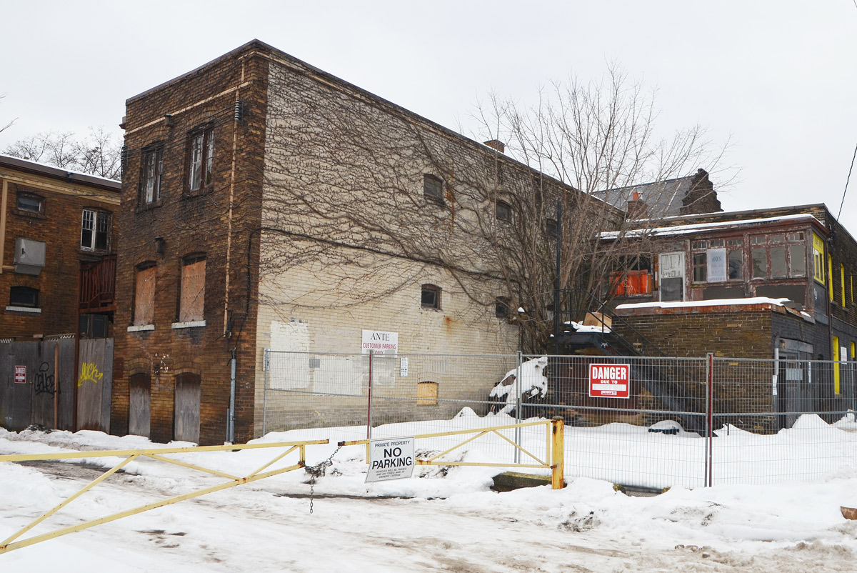
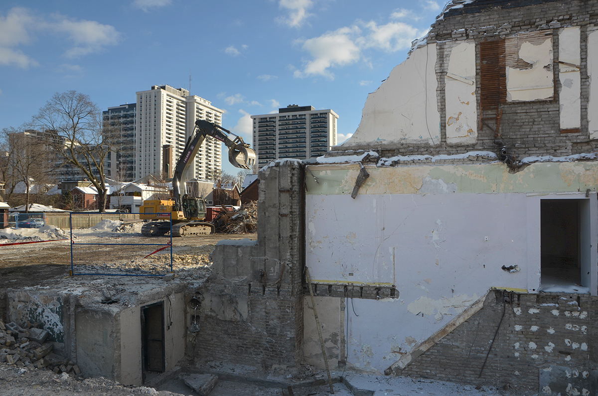
This is the story of one building at one intersection, Yonge and Belsize (just south of Eglinton) but it’s also a story that is being repeated over and over again in the city. The story of demolition and rebuilding. The story of loss of the older wood and brick structures as they are replaced by glass and steel.
By December 2016 all of the businesses had closed down.
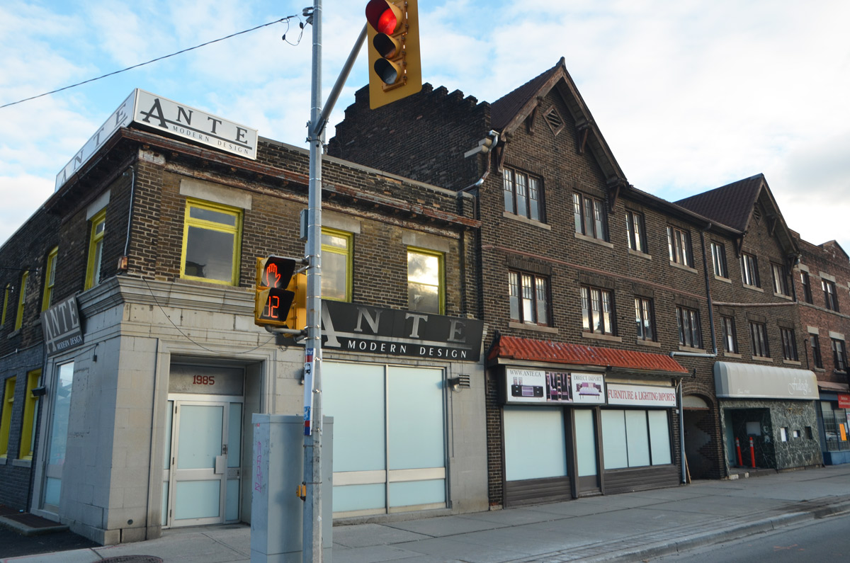


below: The back of the building
Just over a year later demolition began in earnest.

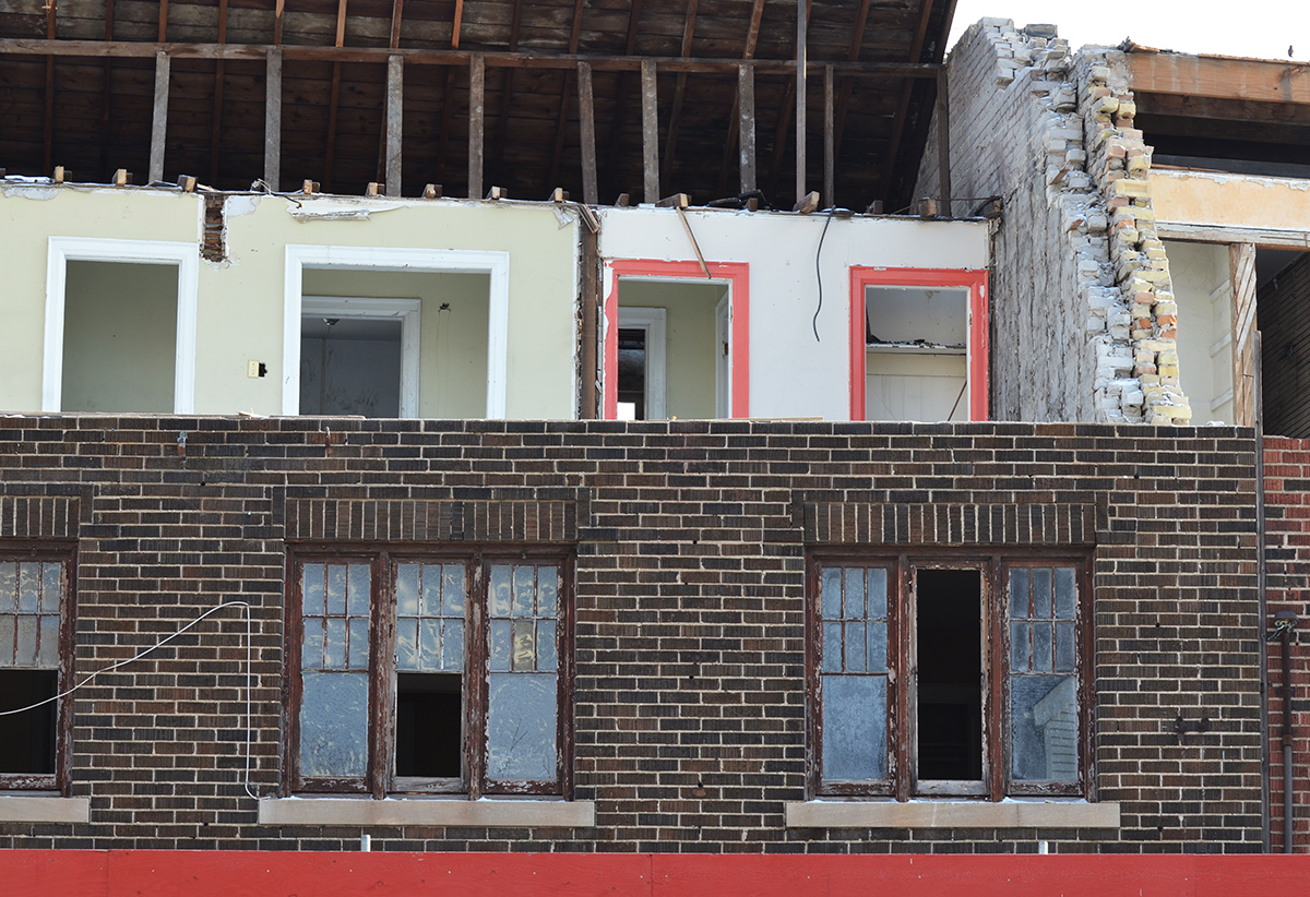
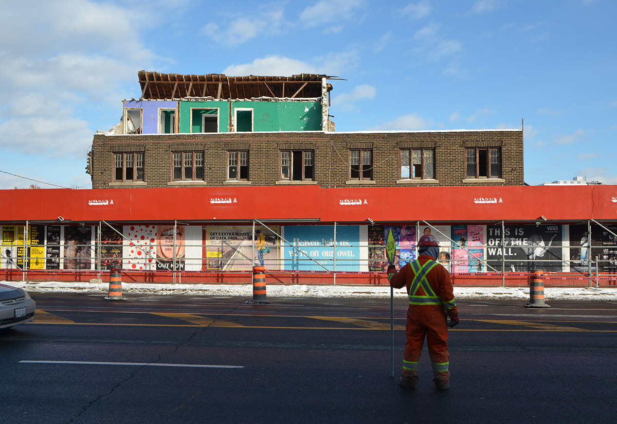


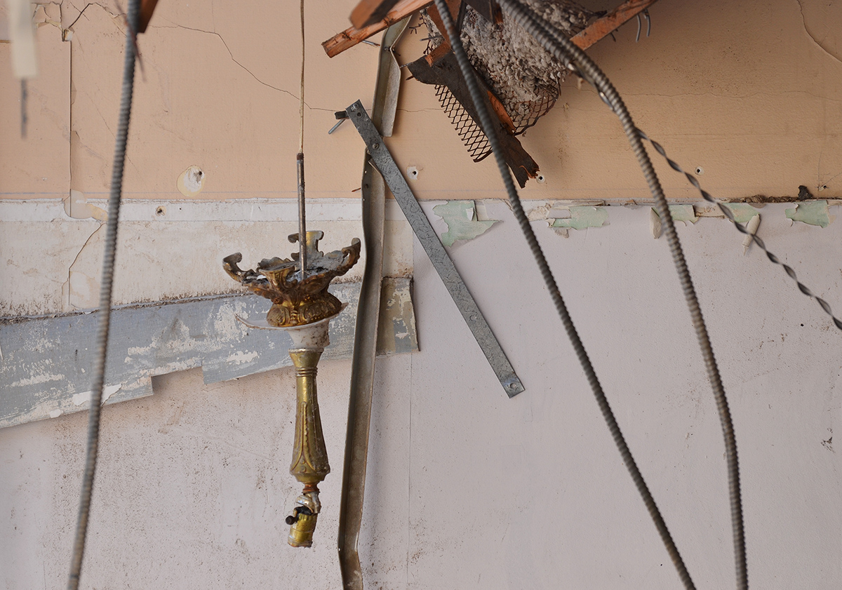


Saturday, December 17th 2017
The day six new TTC subway stations opened.
So, of course, off we went on a subway adventure…. An exploration of the TYSSE, or in other words, the Toronto York Spadina Subway Extension. I have presented the stations in order that I visited them, from north to south – Vaughan, Highway 407, Pioneer Village, York University, Finch West, and Donwsview Park. It’s not every day that new subway stations come along… and these have been a long time coming!
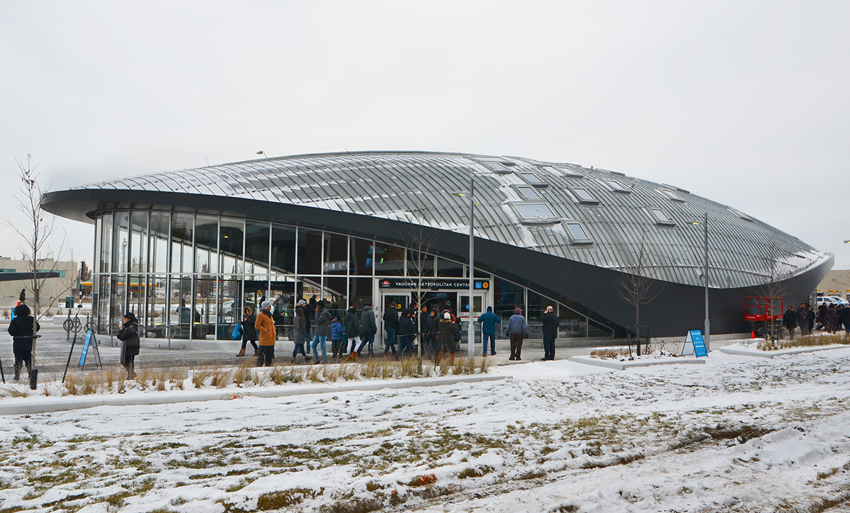
below: The northernmost station on Line 1 is now Vaughan Metropolitan Centre.

below: ‘Atmospheric Lens’ by Paul Raff Studio is the artwork that is incorporated into the roof of the station. It features skylights and reflective panels. The yellow is reflections from a glowing disk mounted on top of the elevator shaft – you can’t actually see the disk, just its reflection.

below: Vaughan Metropolitan Centre station, from the outside
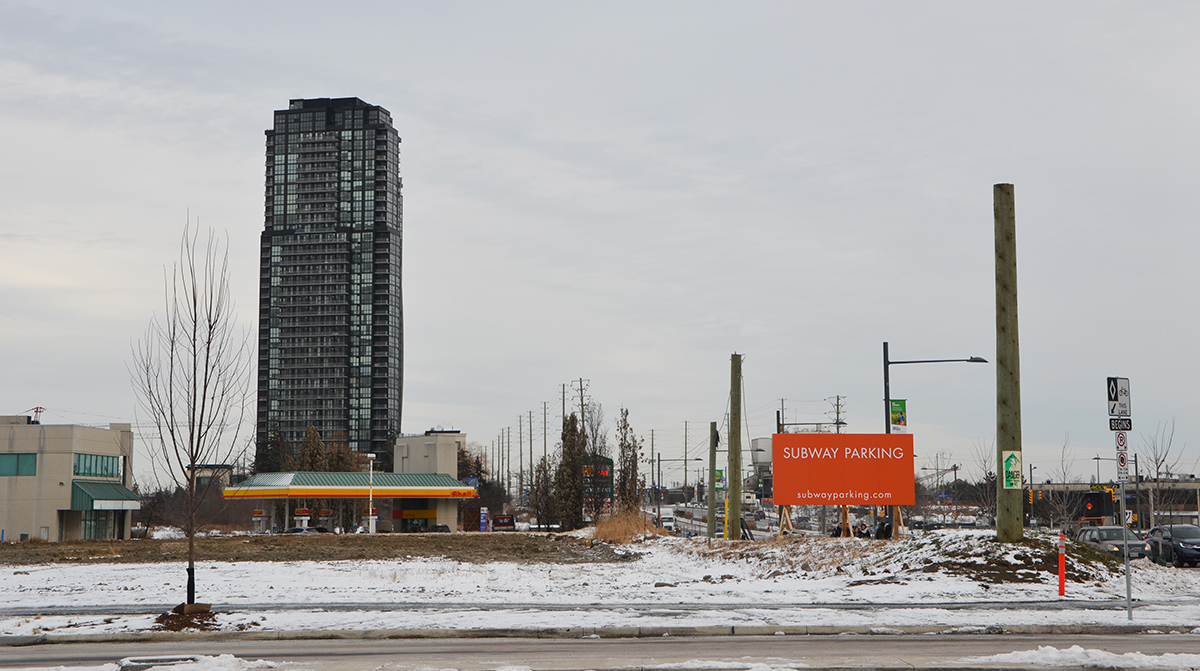
The rest of the ‘metropolitan centre’ needs a bit of work… as does the parking that this orange sign mentions. I was surprised at how undeveloped that this part of Vaughan is. This is the view to the east of the station. On the west there is a development of “big box” stores some of which have just been built. Smart Vaughan – get the subway and then build around it rather than disrupt an already built city with years of construction and the consequent traffic problems (i.e. building the Eglinton Crosstown link)
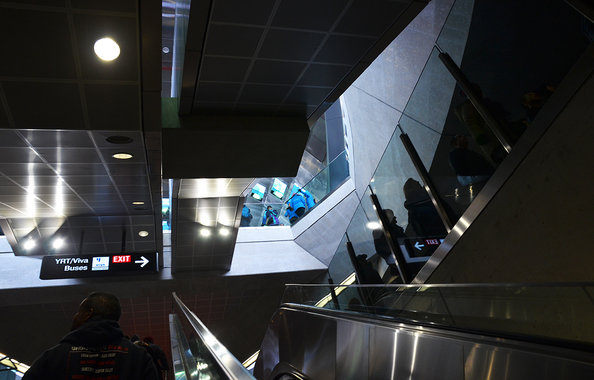
All six stations are quite deep and all six require two escalator rides to get to street level (or you can climb a lot of stairs!… stairs are not always an option though). There are plenty of elevators.
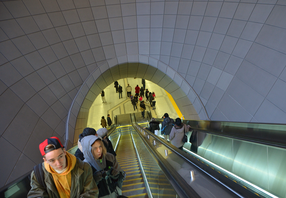
below: The walls are concrete beside the subway tracks. Each station has its name on the wall similar to this at Highway 407 station (just south of the 407 at Jane Street).

below: A large coloured glass window dominates the area at the top of the escalators (by the bus station) at Highway 407. This artwork is by David Pearl and is one of two pieces that he did for this station.
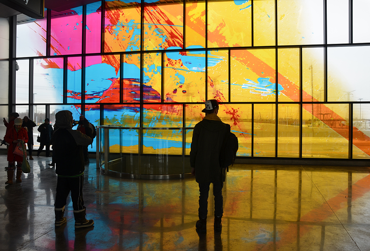
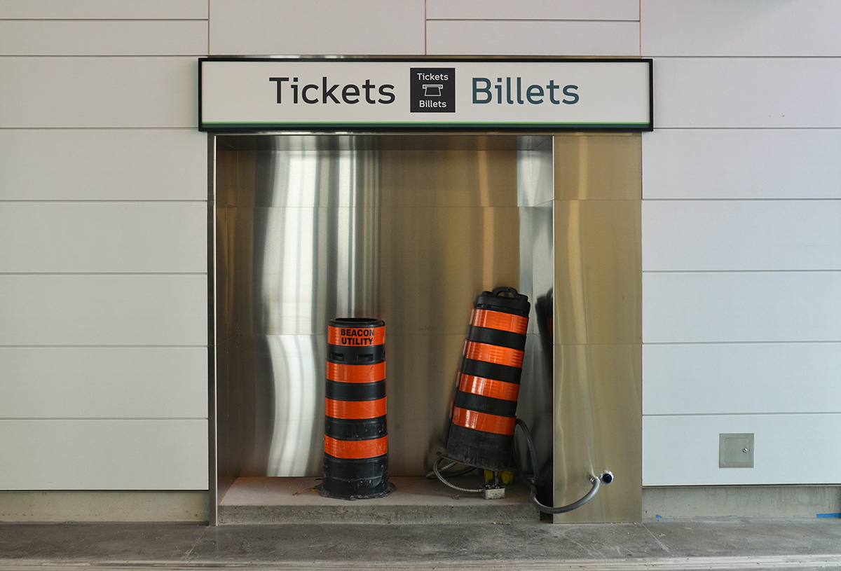
below: Highway 407 has a large GO Transit bus terminal as well. There is still some work to be done on that part! The worrisome part of all this is that the two stations at the end of the line are transportation hubs designed to help those commuting into Toronto. Yes, they funnel even more people into an already overcrowded subway. Note to the city of Vaughan – please use this as an opportunity to increase the reasons why people would commute north!
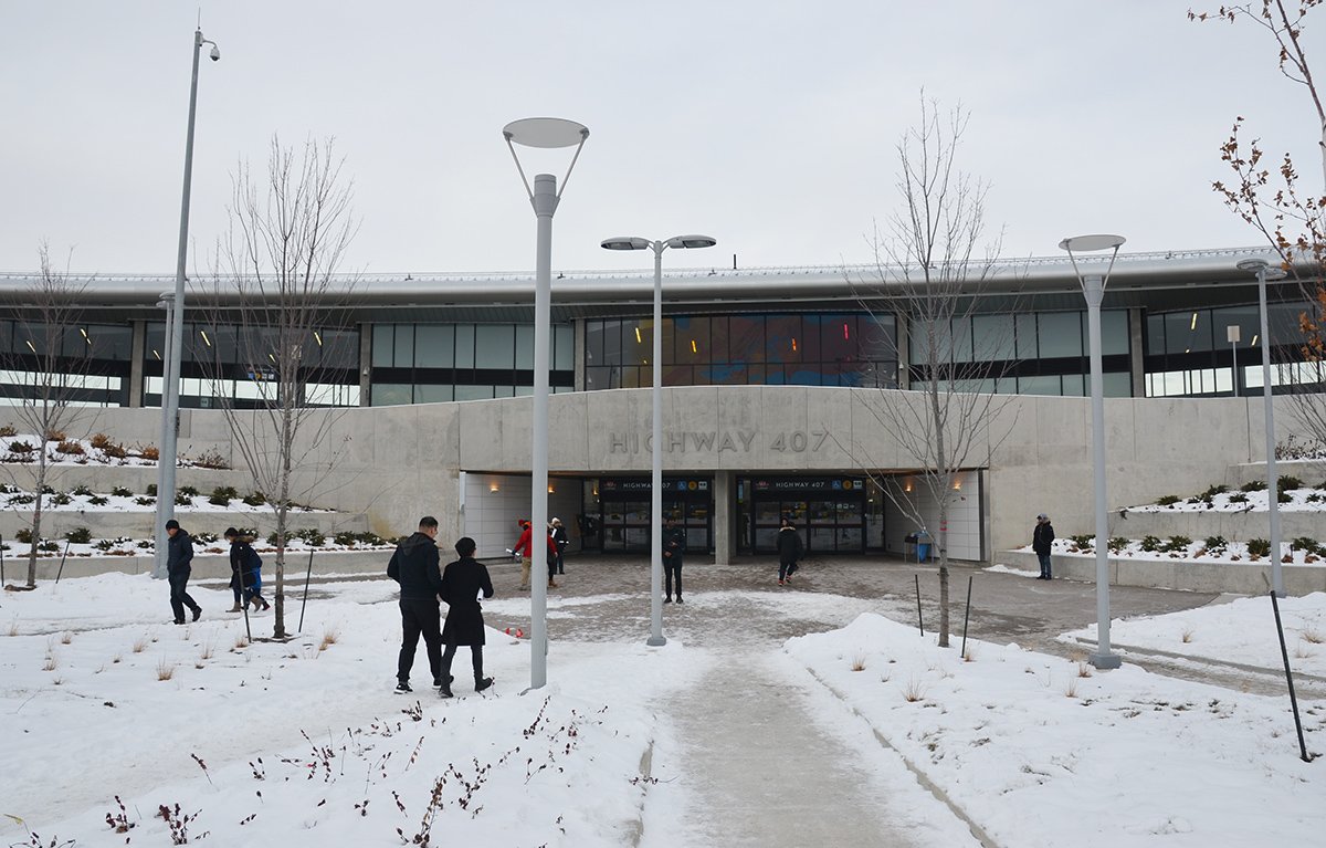
below: One of the entrances to Highway 407 – the center window is the same as the coloured window above (it looks much better from inside!). On either side are GO Transit bus terminals. Behind me when I took the photo is a large parking lot for about 600 cars. Functional but not necessarily pretty – it may look better from other angles but it was a cold day and it seemed like a long walk to get to the other sides).
below: The new bus loop at Pioneer Village Station. There are actually 2 bus terminals here – one for the TTC and one for YRT buses. This station is on Steeles between Jane and Keele. Originally this station was going to be called Steeles West – mercifully the TTC actually showed some creativity and came up with a better name. All the ‘West’ stations drive me crazy.

below: Coming up the escalator in the Pioneer Village station towards the large light in the ceiling. The dominant features of the station are the large vertical windows and the red and wood cladding. The red and wood are continued to the exterior as well.
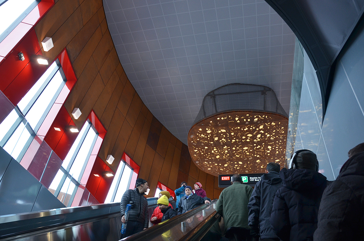
below: Close up of part of the exterior.

below: Looking up into one of the skylights

below: The main artwork at Pioneer Village station is “LightSpell” by German artists Tim and Jan Edler. It’s an interactive installation that also helps provide light in the station. This photo shows some of the 40 elements that make up the installation. By lighting certain sections of each element, letters of the alphabet can be formed, and in turn, words can be written. Numbers and other special characters can also be lit. In addition, the intensity of the light can be automatically controlled to maintain a constant light level in the station. There are also a lot of speakers on black poles in this area but that is a mystery for another day.
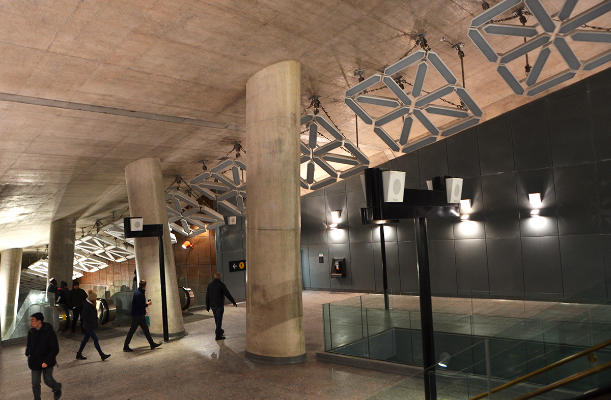
below: Inside York University station which is right on campus. The stairs and escalators to the trains are in the center. On both ends of the curved structure are the exits.
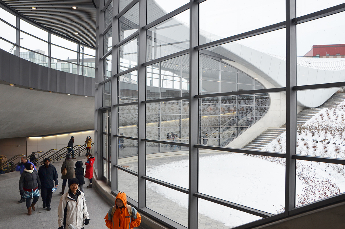
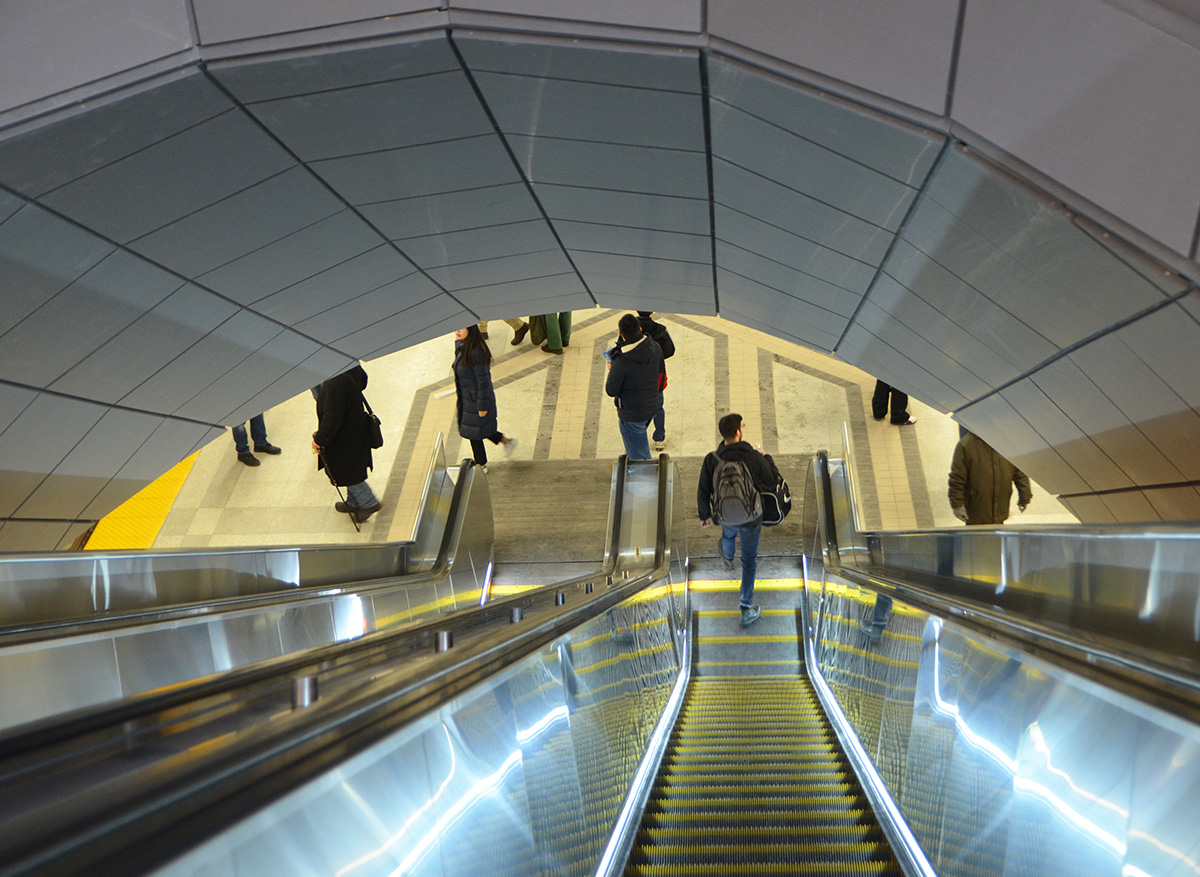
below: At Finch West station there are bright and shiny red hexagonal tiles on many of the interior walls. (Argh, there’s that ‘west’ again)

below: As you go up to street level, you are greeted by a flood of coloured light.
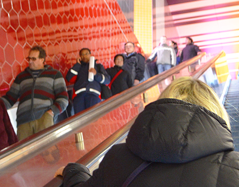
below: The light comes from tall sunlit windows of different colours. Stripes of grey and white tile on the floor and ceiling add to the slightly surreal effect.
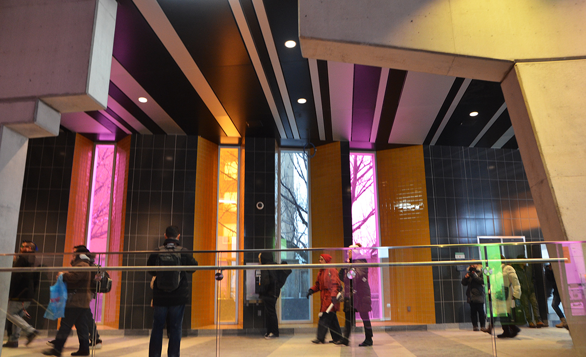
Expect to see many photos taken at this station in the future! The light and colour makes for some interesting effects.
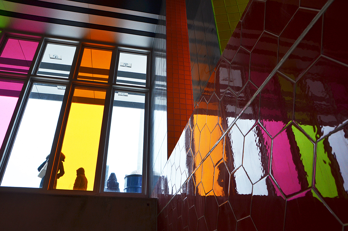
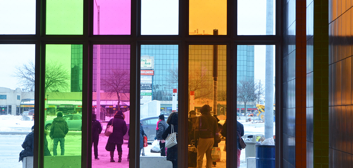

… and I have probably gotten carried away. There’s still one more new station so let’s take a look at it – Downsview Park.
below: Looking up…
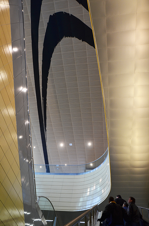
below: … and looking waaaay down at Downsview Park station.

below: Eventually (soon?) GO trains between Union Station and Barrie will connect with the subway here. The subway actually runs under the GO railway tracks here. The street level of Downsview Park station is two halves, one on each side of the GO tracks.

below: I am going to end with this. Part observation and part editorializing – a sign seemingly in the middle of nowhere. I look at this and think of old pictures I have seen of the Yonge line when it was first built. It serviced parts of Toronto like Davisville and Summerhill that were of fairly low density but the city and/or province had the foresight to build that far north anyhow. If you read the TTC websites about these new stations, there is a lot of talk about planning for future development and making that future development transit friendly. A great idea. Now, let’s apply that thinking to Scarborough…. and what do you get? A lot of naysayers with arguments about density. Grumble grumble oh how poor we are. And don’t even get me started on Mike Harris and how he cancelled the Eglinton line in 1995. Twenty two years later we’re building it at extra cost and with extra traffic disruption. Sigh.

Traces left behind, reminders of the past

Along Spadina on a cold November day – from King to College.
below: A streetcar passes by, down the middle of the road with young trees growing alongside the tracks. In the background is an old white brick building with rounded brown arches over the upper windows that now houses the Furama Cake & Dessert Garden – one of the many restaurants, coffee shops and bakeries along this stretch of Spadina.
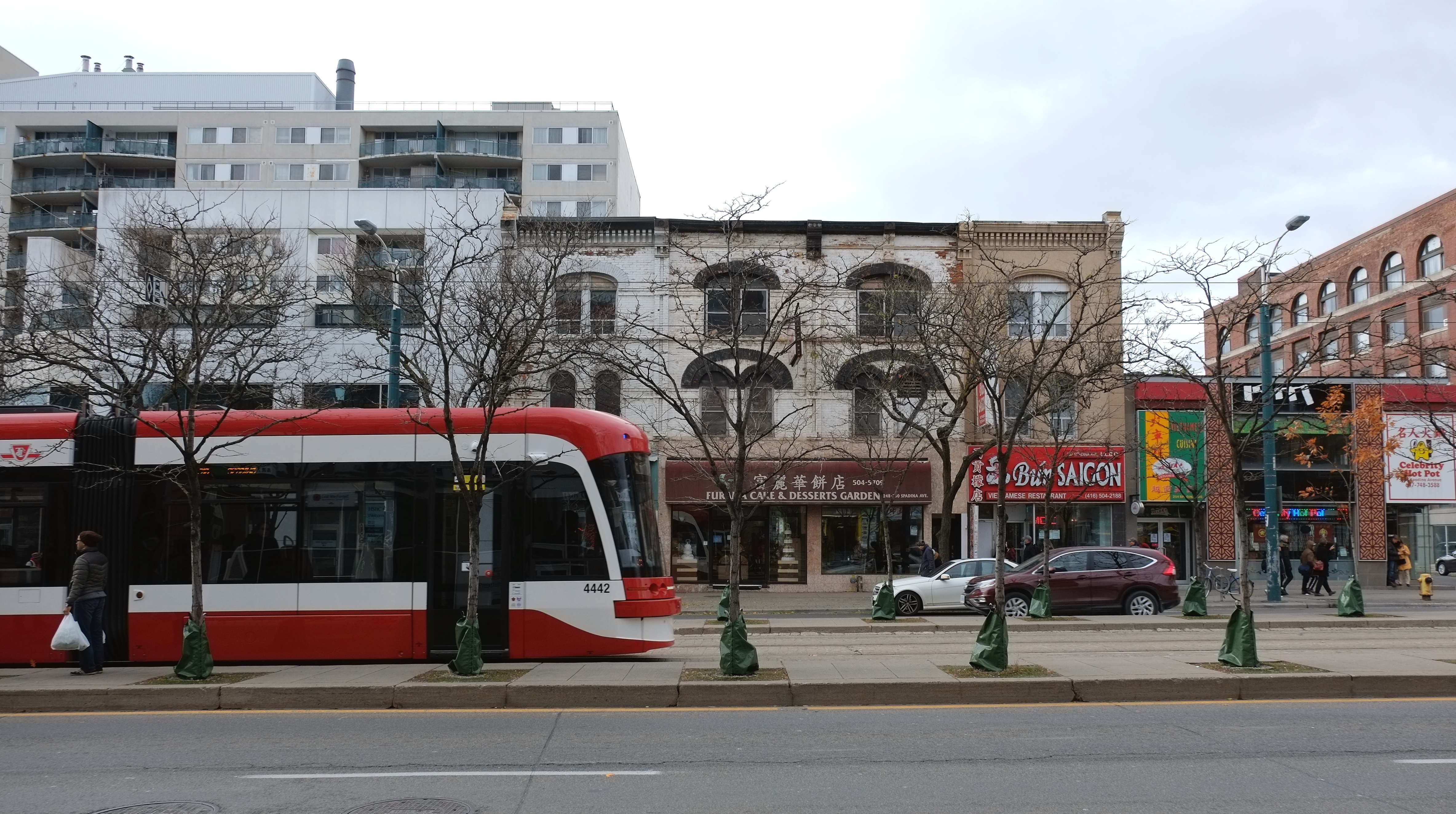
Construction of Spadina Avenue began in 1815. It was always a wide street, running between Bloor and Queen.
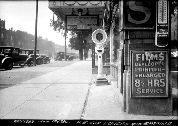
Spadina, and neighbouring Kensington market, was the center of Jewish life in Toronto in the early 1900’s with synagogues, delis, tailors, a Yiddish theatre, and more. About 80% of Toronto’s Jews lived in the area. It was also home to the garment district (also known as the fashion district) with its numerous furriers, clothing factories and warehouses – what we’d probably call sweat shops today.
below: The northeast corner of Dundas and Spadina, June 1930 showing the sign over the door of ‘The Standard’ a Yiddish theatre that opened in 1921. It was converted into a (mainstream) cinema in 1934 and renamed ‘The Strand’. Another renaming occurred in 1941 when it became ‘The Victory’. Twenty years later it became the Victory Burlesque. The doors closed permanently in 1975. Photo found on Bygone Theatre website.
below: This plaque is on the west side of Spadina, just north of King Street. It describes the contributions of Benjamin Brown (1890-1974), architect, to the area.
Benjamin Brown, one of Toronto’s first Jewish architects, designed more than 200 buildings throughout his career. Born in Lithuania, he came to Canada as a child. Brown graduated from the University of Toronto’s architecture program in 1913. He was partners with architect Robert McConnell until 1921, when he set up an independent practice.
Commissioned largely by members of Toronto’s Jewish community, Brown’s projects ranged from parking garages and gas stations to apartment houses and factory lofts. His Tower Building (1927) and Balfour Building (1930) on Spadina Avenue at Adelaide Street formed a gateway to Toronto’s garment district. Other well known buildings by Brown include the Hermant Building (1929 on Dundas Square, the Primrose Club (1920) and the Beth Jacob Synagogue (1922), the first Toronto synagogue designed by a Jewish architect. Brown retired in 1955.
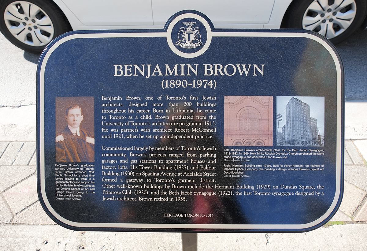
Both the Tower Building and the Balfour Building still stand. The later, pictured on the plaque is on the NE corner of Spadina & Adelaide. It was named for Arthur J. Balfour, British statesman, the author of the 1917 Balfour Declaration that pledged British support for a Jewish homeland in Palestine.
below: This is ‘Uniform Measure/Stack’ by Stephen Cruise and it includes that giant thimble on a stack of buttons, a few button shaped tree planters, and a tape measure carved into the sidewalk as it goes around the corner (you can see a bit of it at the bottom right of the photo). This tribute to the garment district, or rag trade if you want to call it that, dates back to 1997. A few years ago the tape measure was painted yellow – but not by the artist. It has since been cleaned up. Recent sidewalk work has scarred the tape measure but most of it remains intact.

below: Another piece of garment district history – an old Singer sewing machine as an ornament above a narrow alley between two buildings.

In the 1960s and 70s, the Jewish population moved out and the Chinese moved in. In keeping with the changes that were occurring on Spadina, The Victory was sold in 1975 and subdivided into shops on the main floor and a Chinese language cinema upstairs, first named the Golden Harvest and then the Mandarin. This cinema closed in 1994.
In the late 60s and early 70s, the city demolished a large section of land to make way for the new city hall. At that time, Chinatown was centered around Dundas and Elizabeth streets. Many of the Chinese who were displaced by the construction moved west along Dundas to Spadina. Although many of the Chinese businesses and residents have moved north to Markham & vicinity, this stretch of Spadina is still considered to be Chinatown.
below: A panda eating bamboo, painted by Murals by Marg with support from Chinatown BIA & StreetARToronto.

below: Another Chinese themed mural, with tags unfortunately.
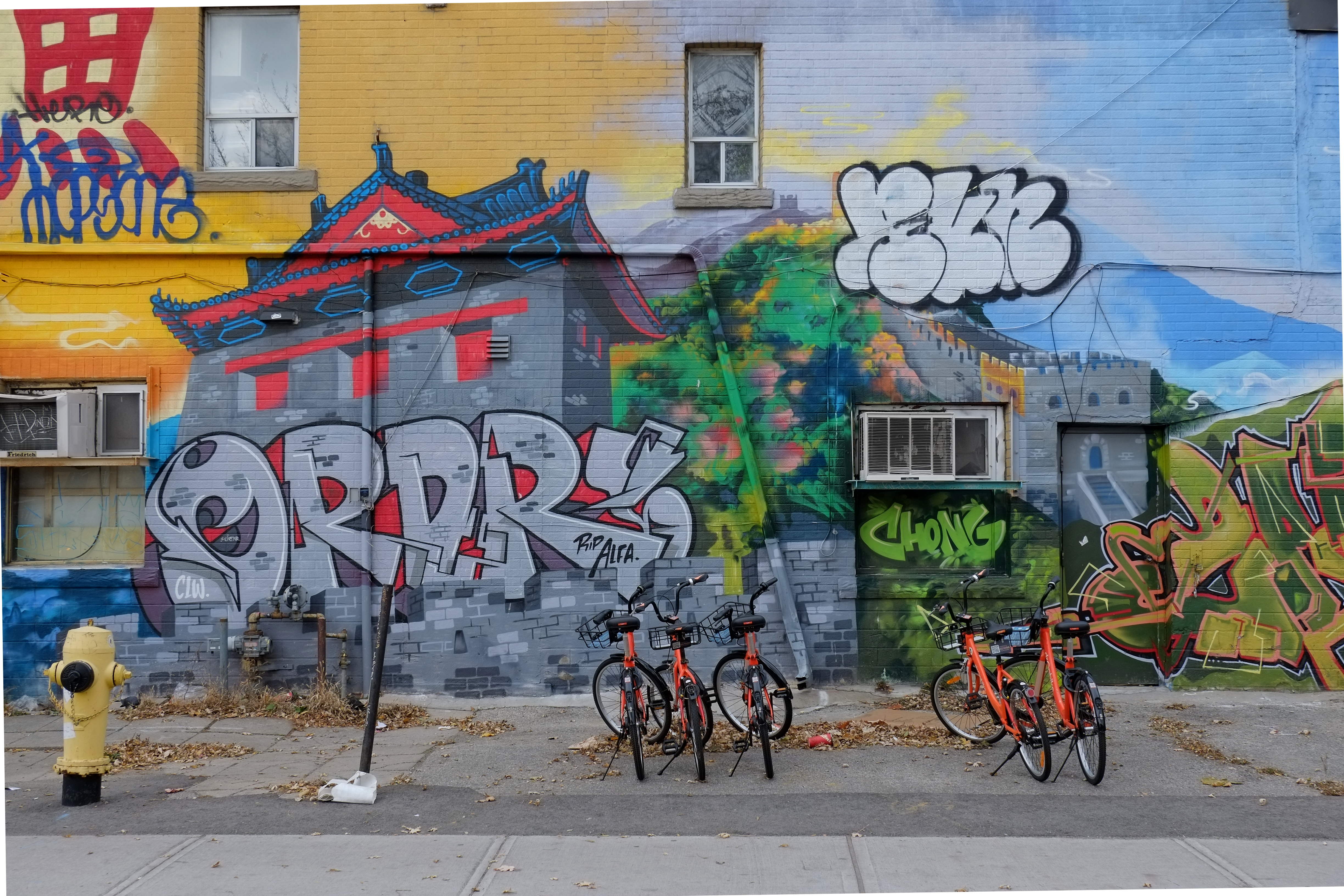
below: This caught my attention – Does it look like fresh ginger? And no, there was nothing in front of the sign either. Smile.

below: Even on cold days you can buy fruits and vegetables on the sidewalk outside the Chinese grocery stores.

below: Feeding the pigeons.
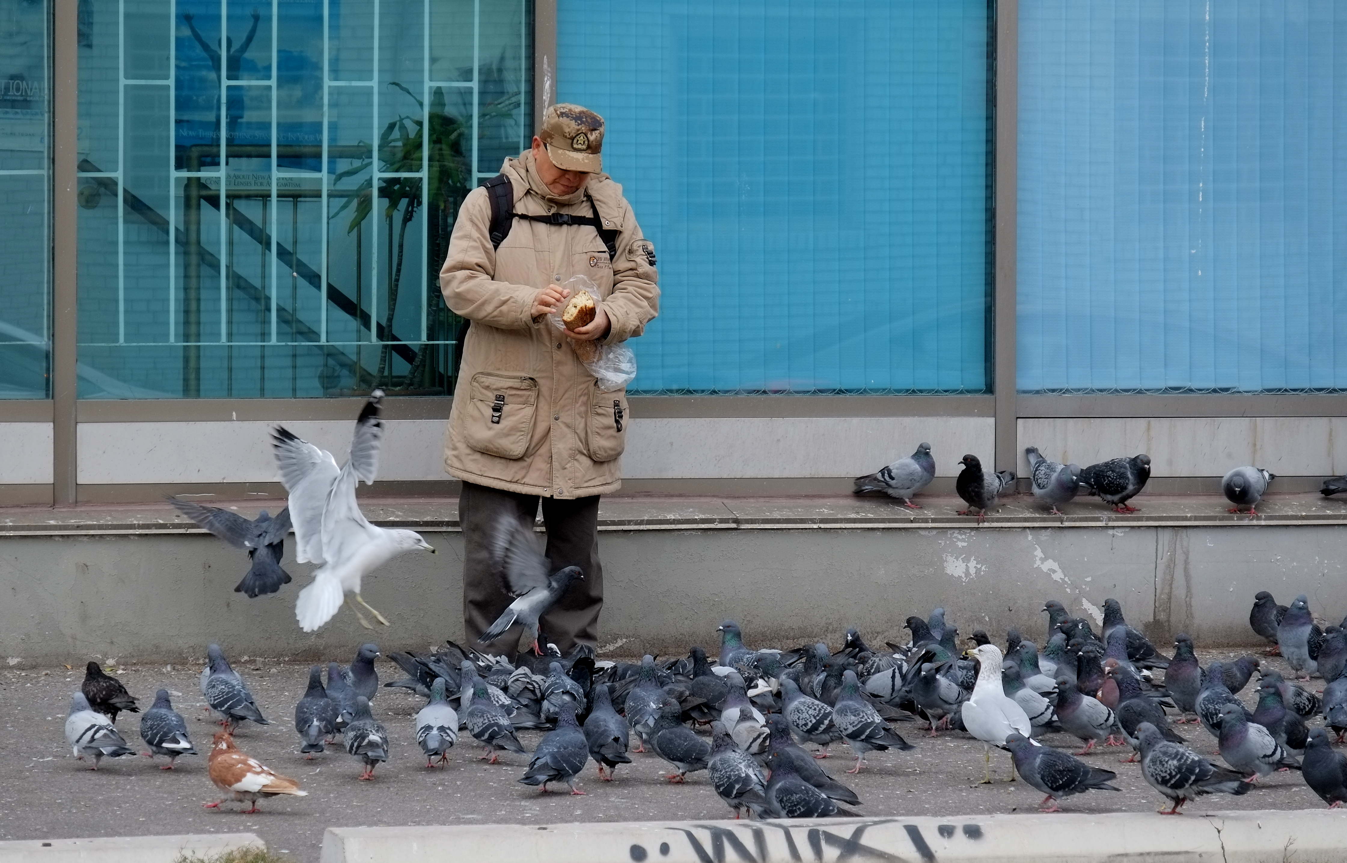
below: This is an old display of CD’s mounted on a wall inside a window of an empty store. The window is dirty but if you step into the recess of the entrance way, you can see the possibility of reflection, light and colour playing together. This was actually the first picture that I took when I walked up Spadina the other day. After I saw this window I started paying closer attention to other empty stores.
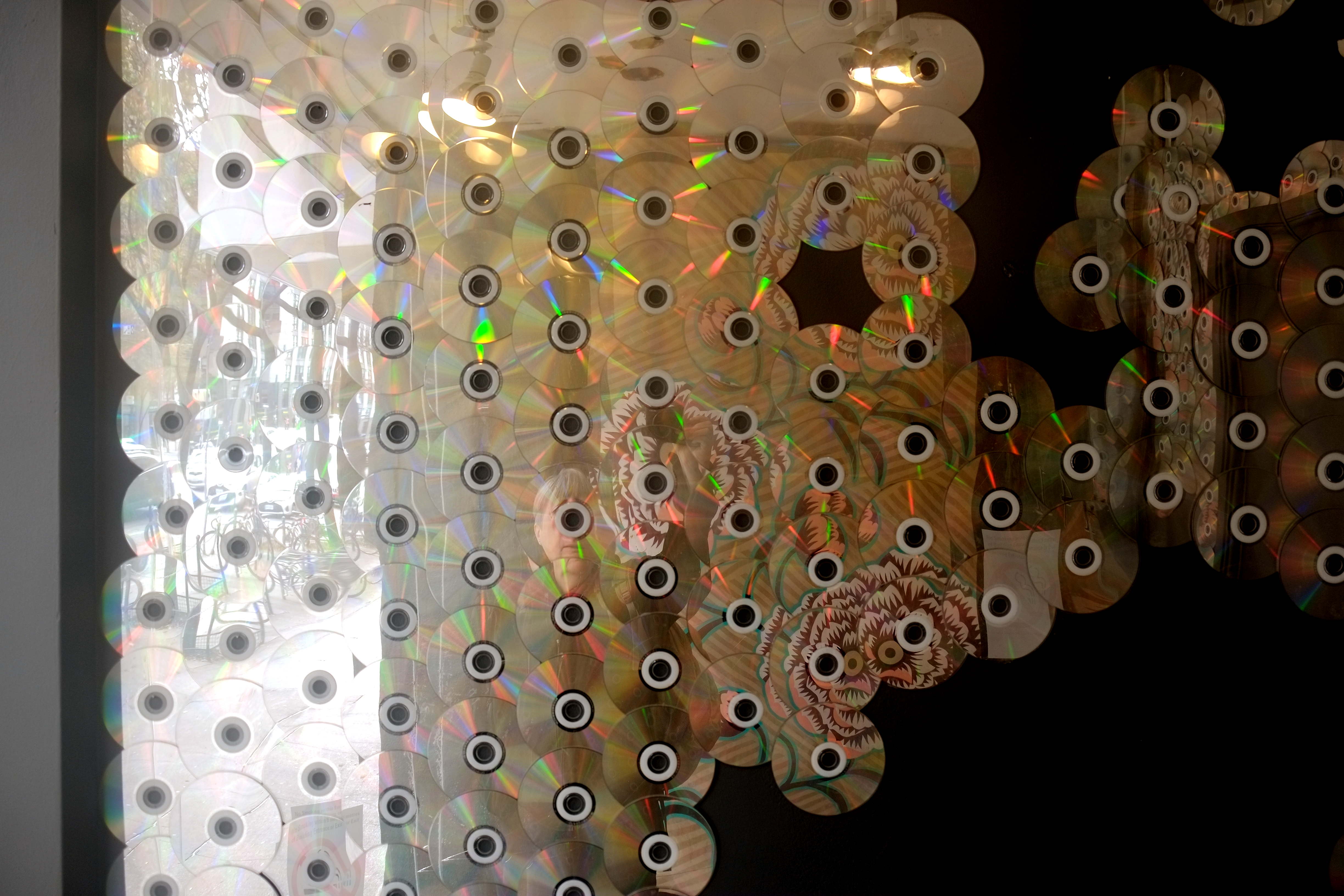
There are quite a few empty stores and sections of Spadina are quite grubby looking. As I mentioned above, many of the Chinese businesses have move on and once again the area is the middle of a change.
below: Someone cared enough to paint this delicate birdcage and ivy scene on the wall. Doesn’t it make you wonder who did it? and why? and what happened to them?
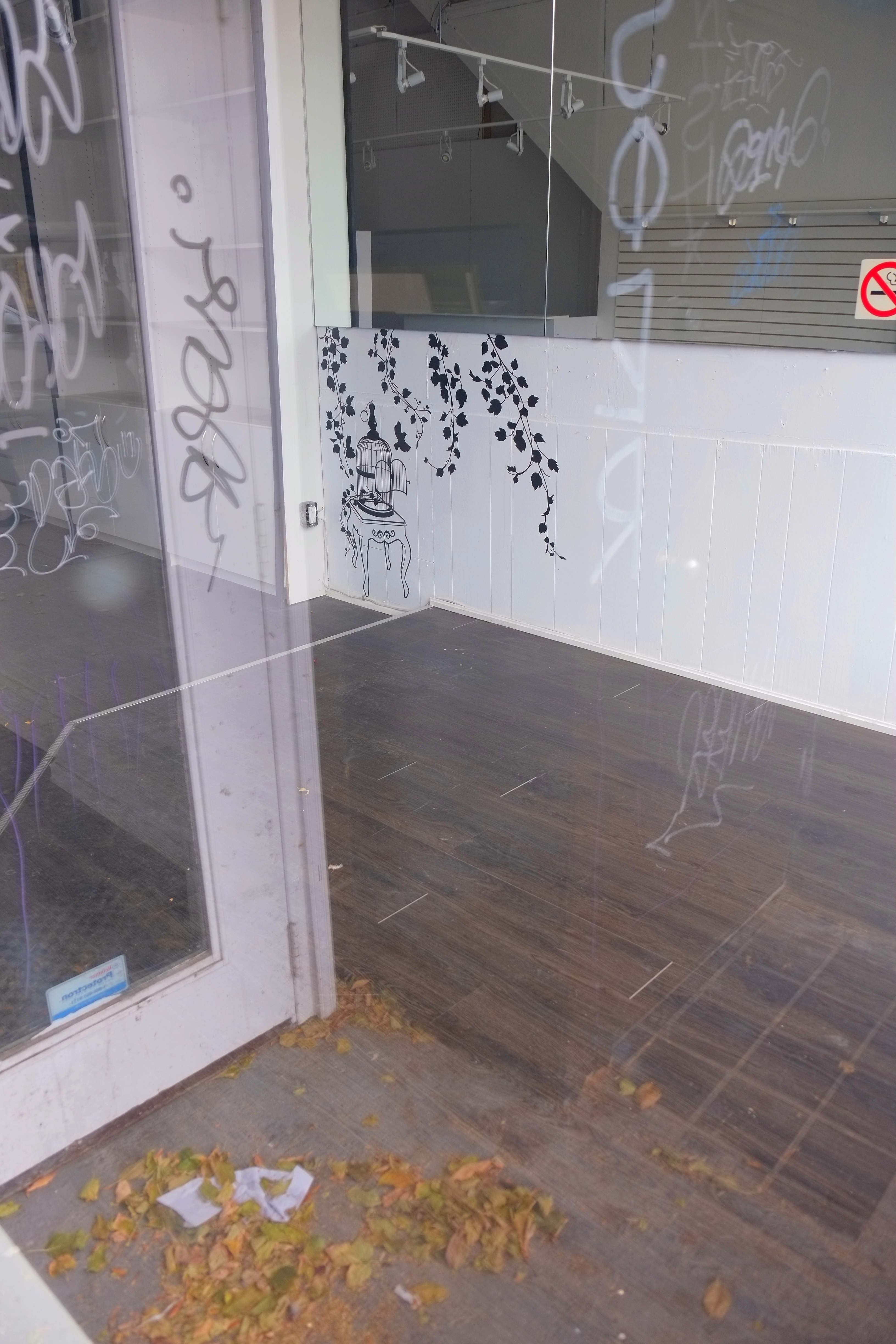
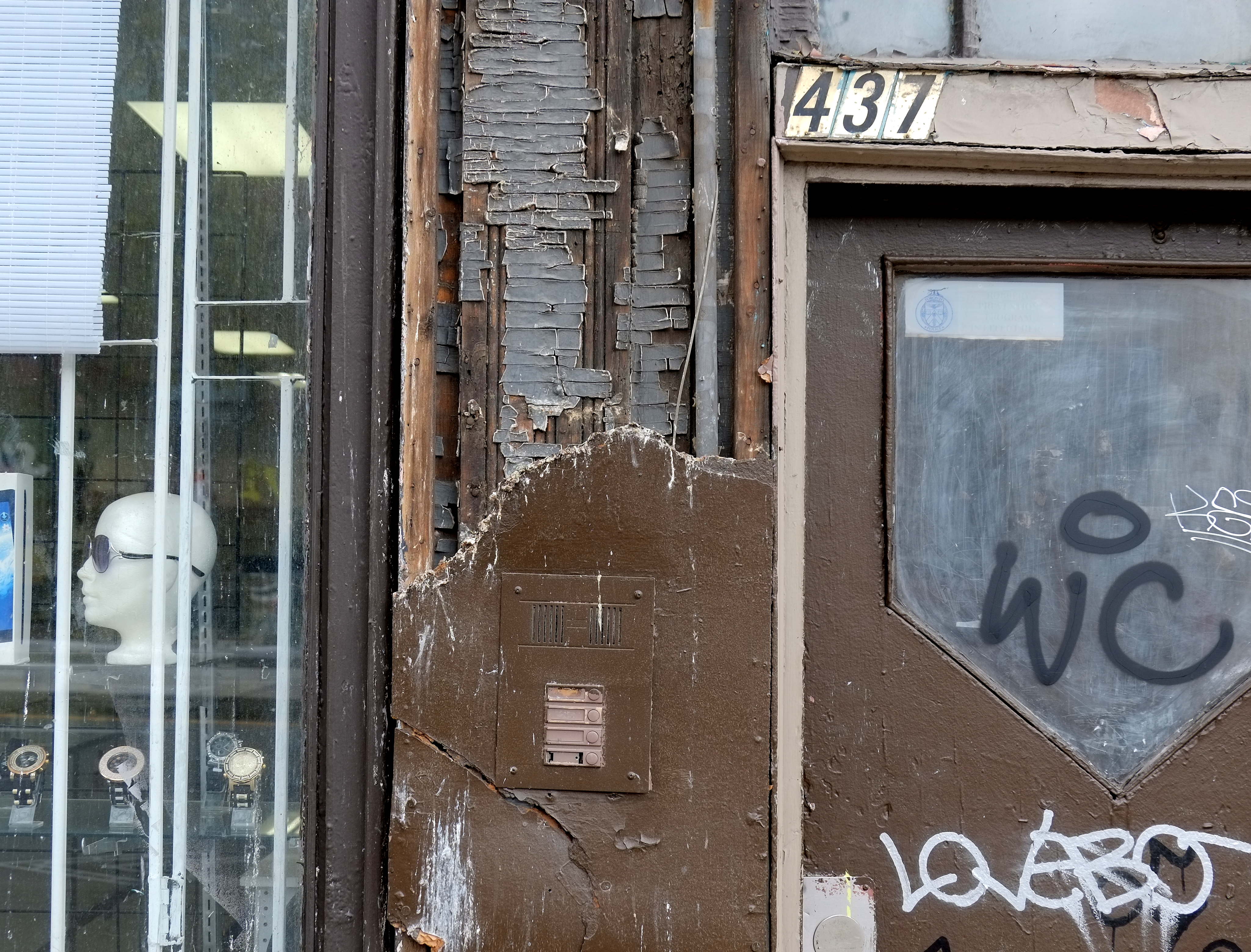
below: A painted over intercom – a remnant of the past. But the plywood that the intercom was mounted on is partially torn away to reveal an even older, more hidden, past. Does anyone live or work at 437 anymore? What lies behind the door?
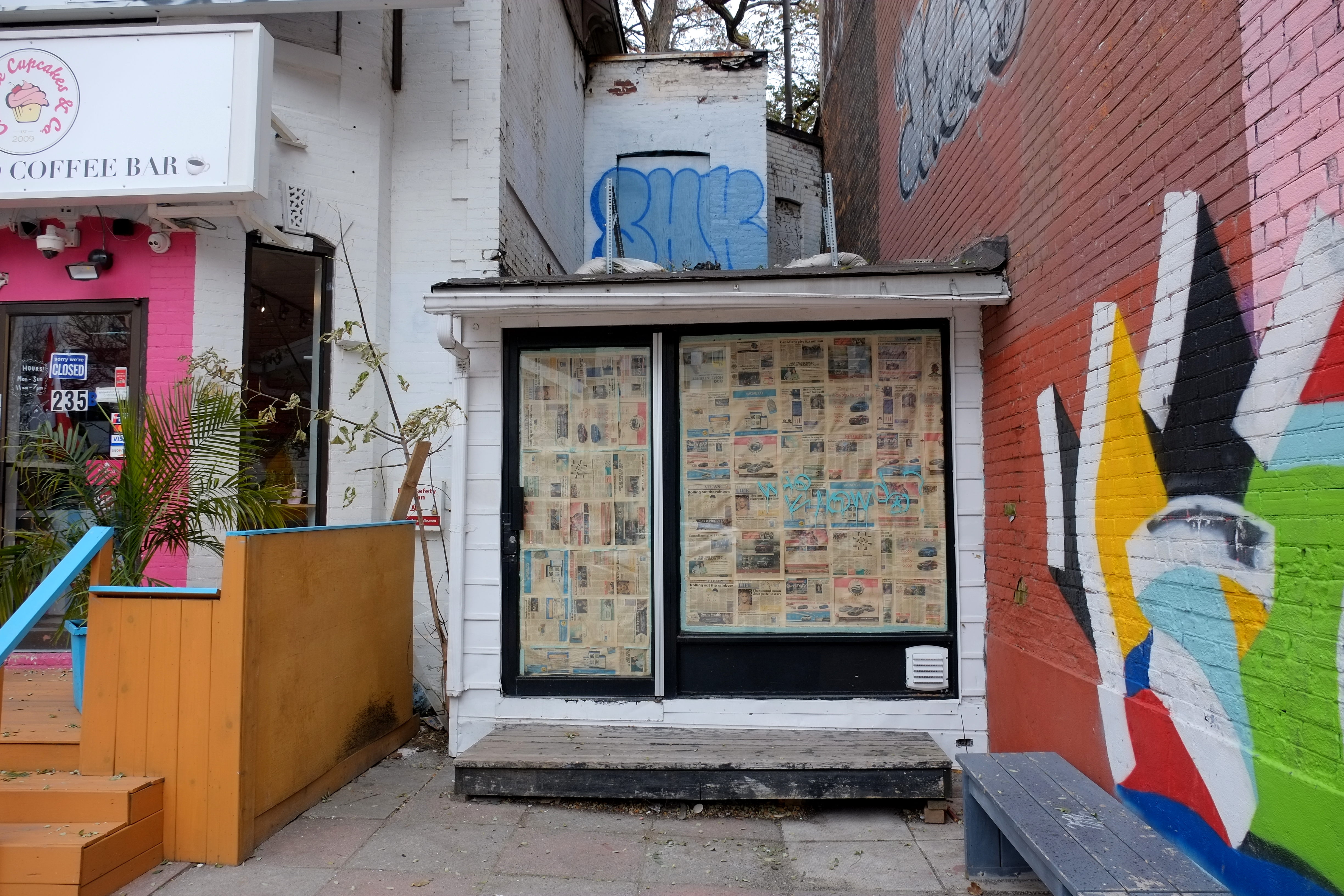
below: This little place had a short life as a store – but for the life of me I can’t remember what it was. I think that once upon a time it was an 8 Eleven (play on 7 Eleven stores) but that was long ago and I know that it closed before I first saw this space. How easy it is to forget.
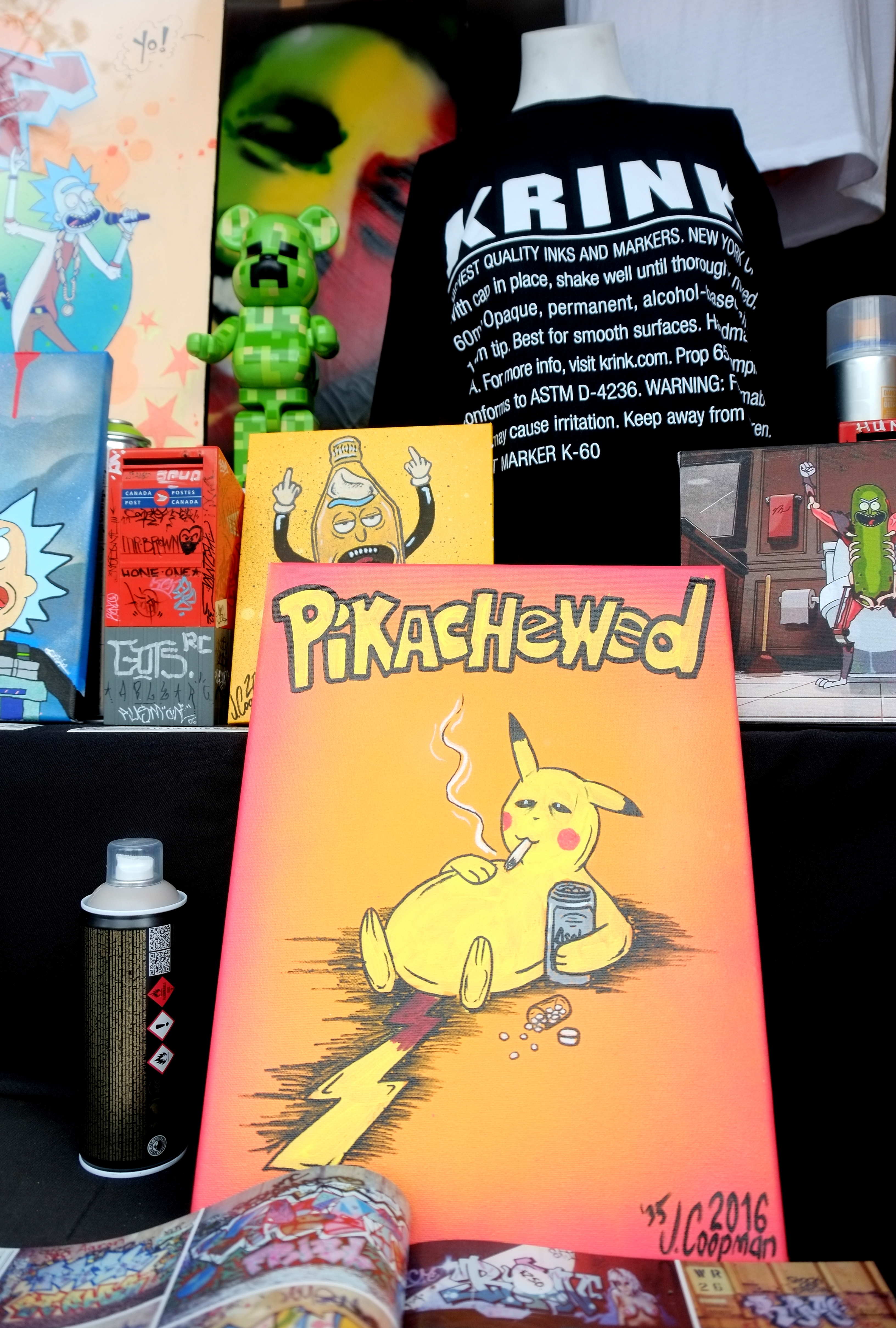
below: As I passed by this window, I thought to myself “How cute, pikachu.” Then I stopped and went back. No, not pikachu. Part of the seedier side of Spadina Avenue.
below: Layers. On the left, hoardings around an old building being demolished and on the right, a staid brick building. Behind them is a newer development with its bright east wall.


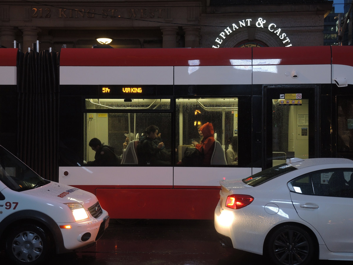
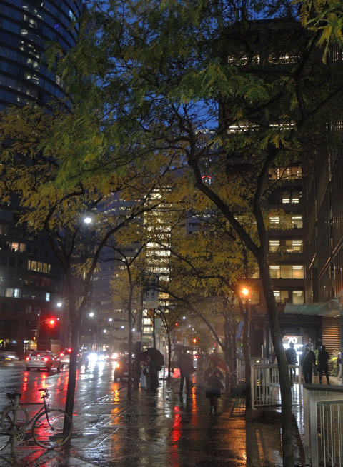
It was a rainy commute home for many people last night. Not too miserable though, just enough drizzle to bring out a few umbrellas and create some wonderful reflections to play with.