Posts Tagged ‘redevelopment’

and a few places in between.


young people crossing o'connor drive, at intersection, with a metal box on the corner painted with a large female portrait

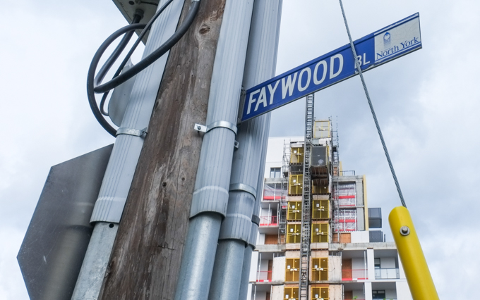
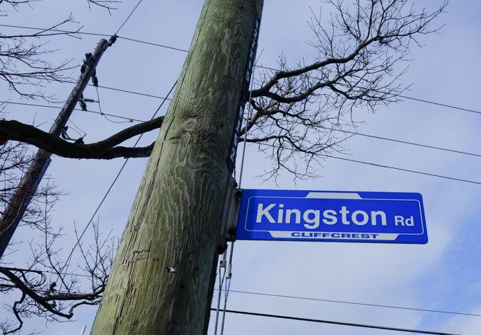
Amsterdam and Skopje refer to two streets that intersect with O’Connor Drive in the northeast corner of East York, Amsterdam Avenue and Skopje Gate.   There is also a Wakunda Place but the spelling is different from Wakanda, the fictional country that was created of Marvel Comics.

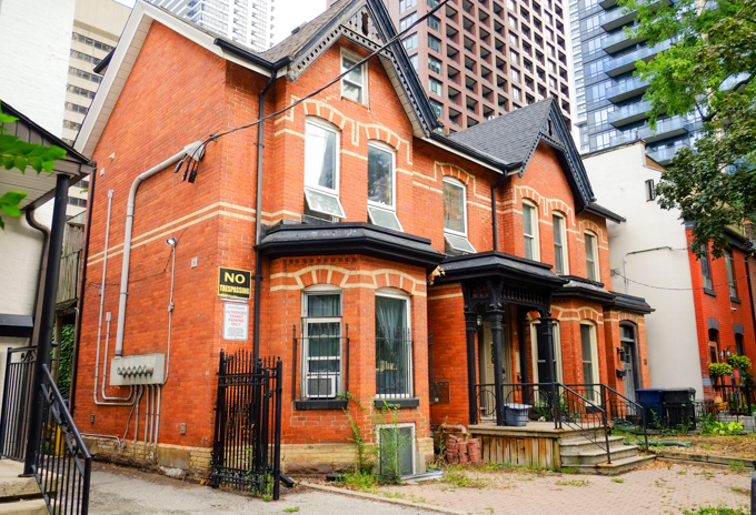
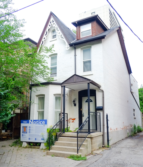
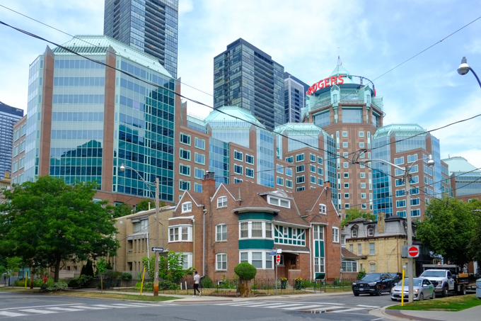
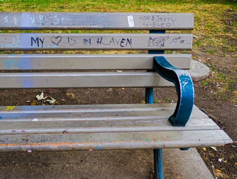
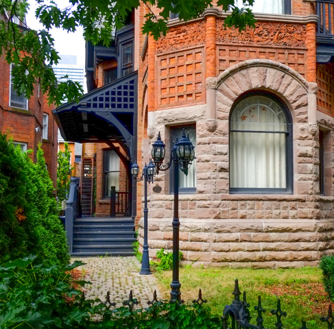
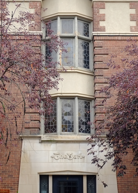
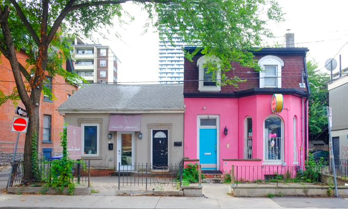
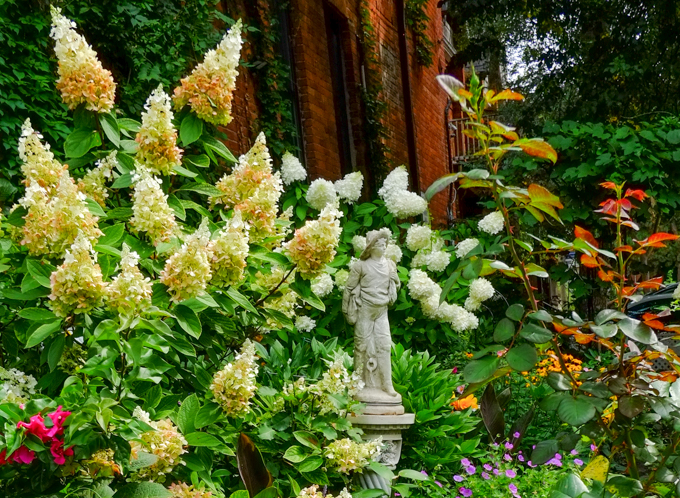
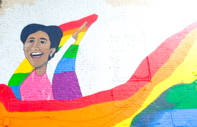
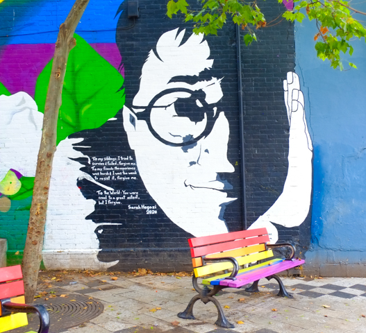
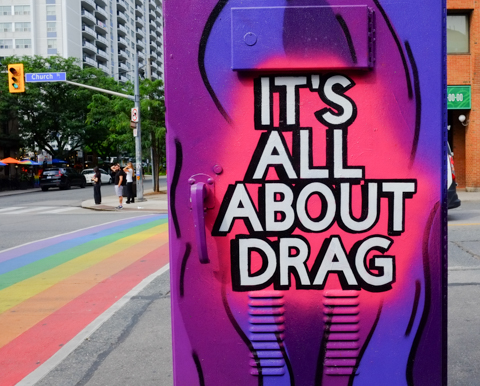
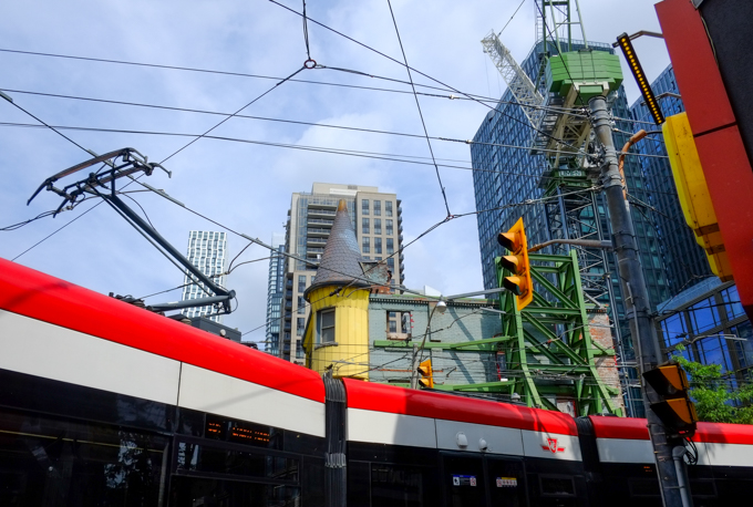
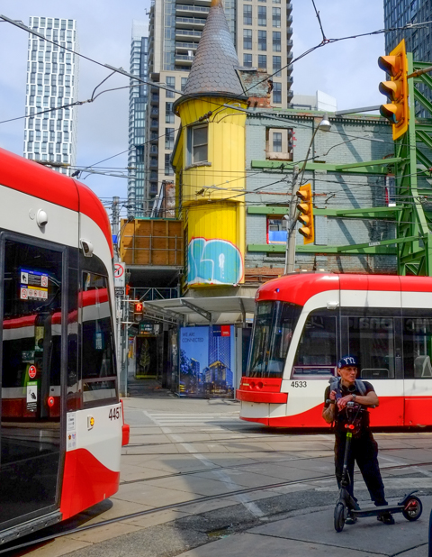
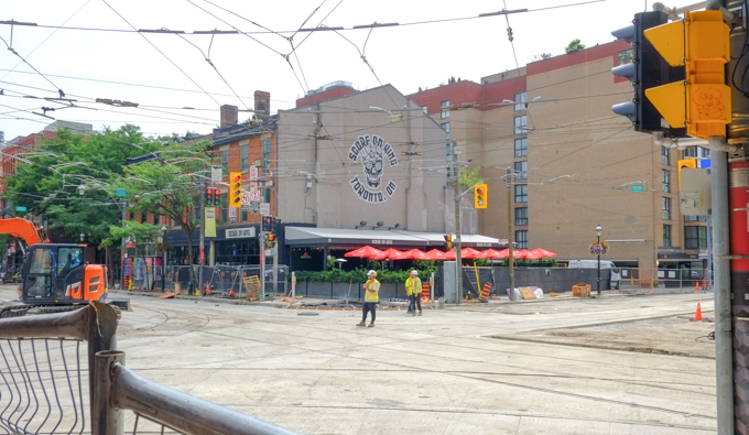
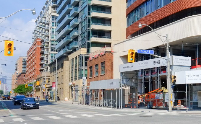
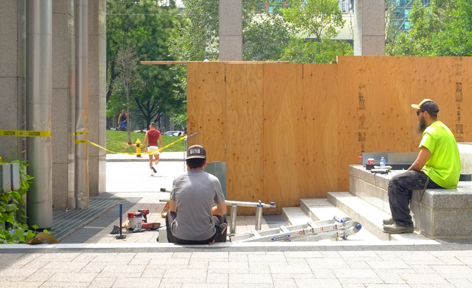
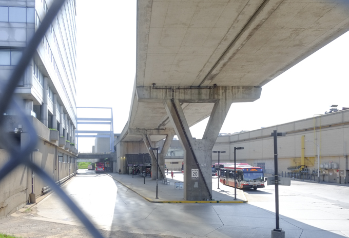
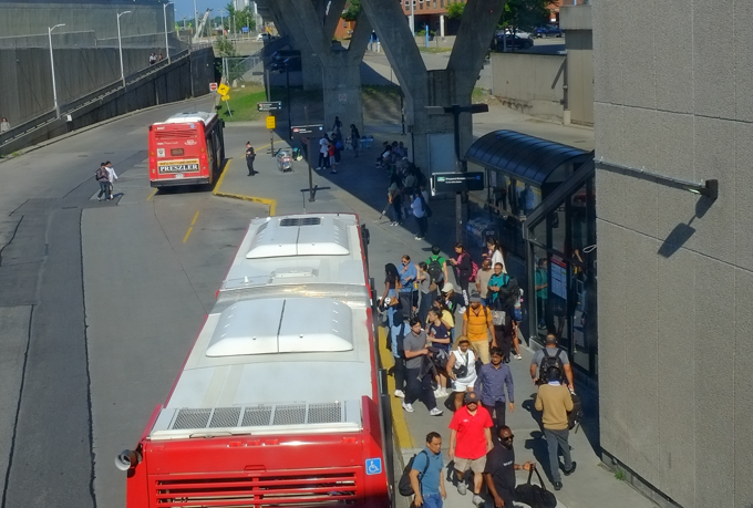
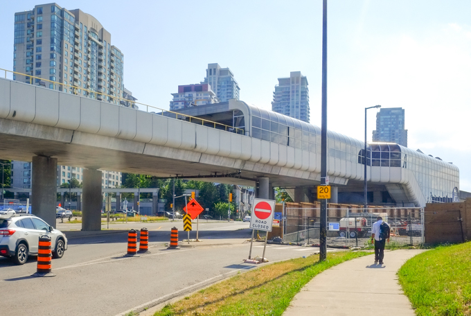
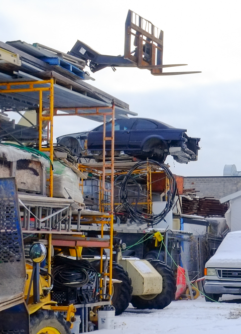
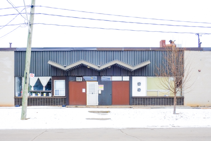
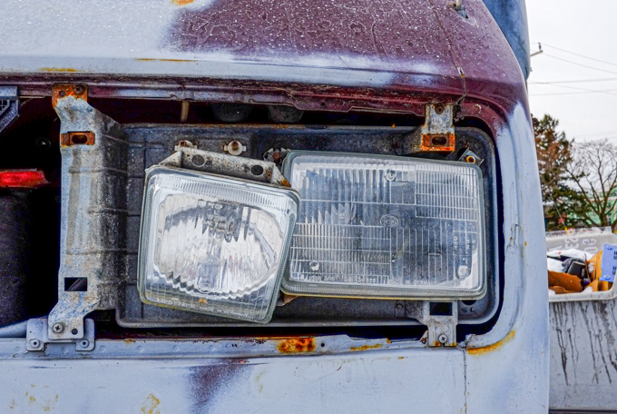
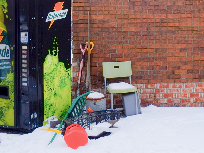
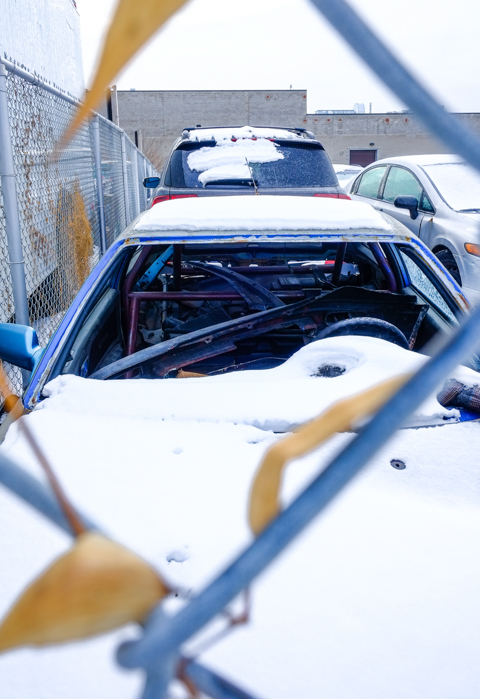
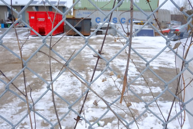
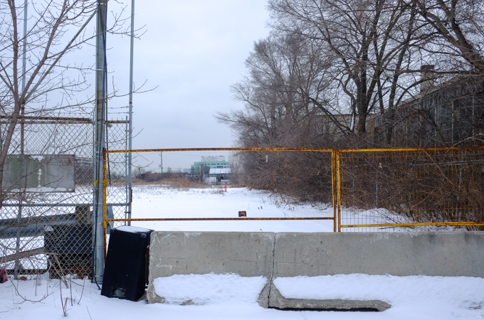
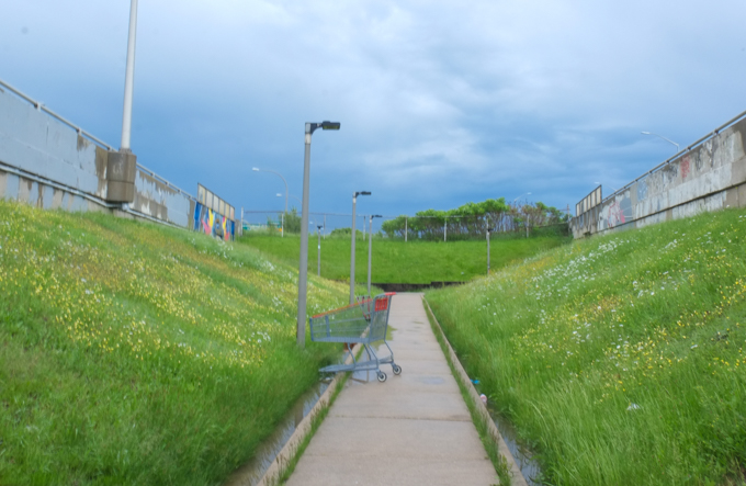
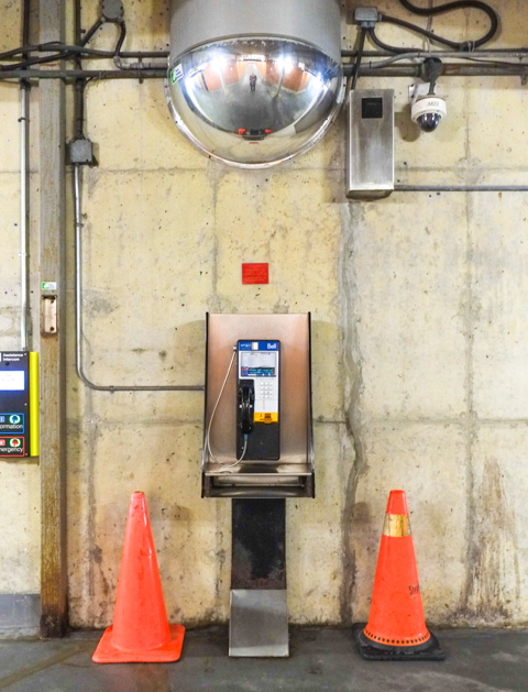
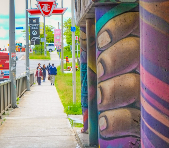
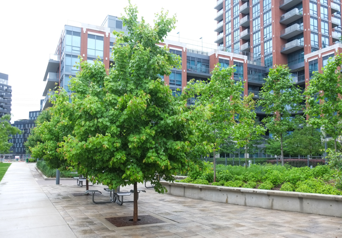
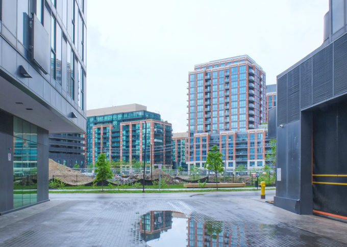
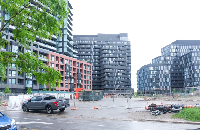
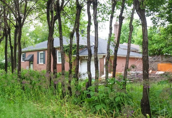
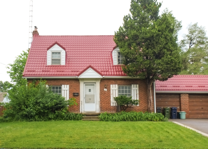
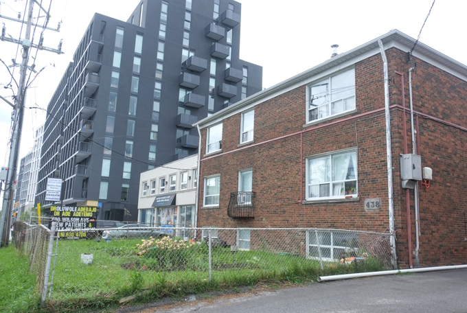
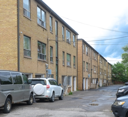
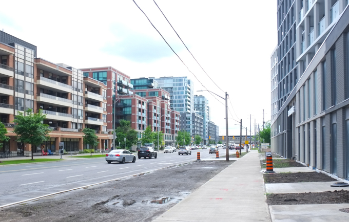
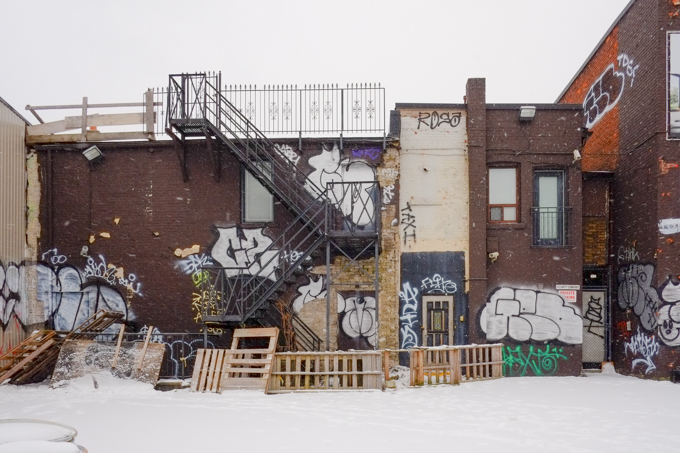
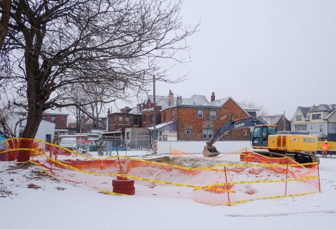
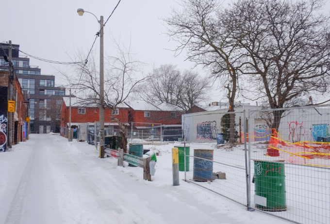
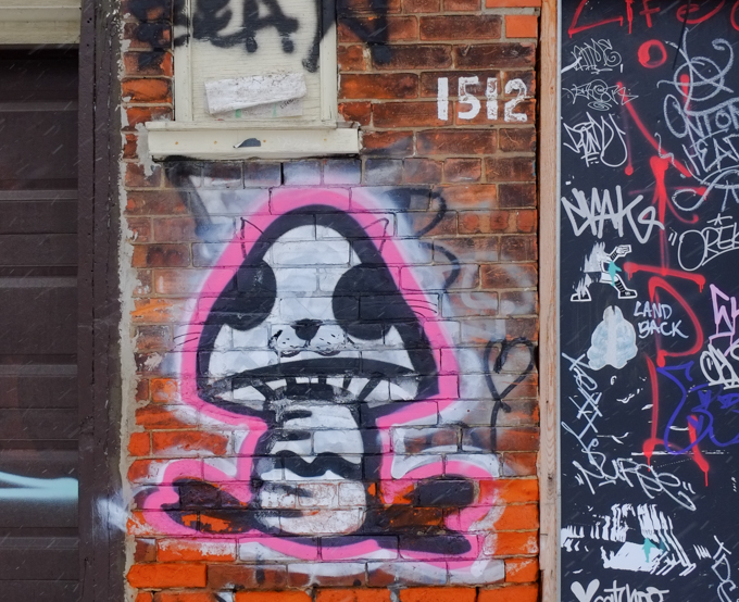
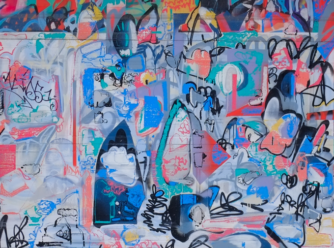
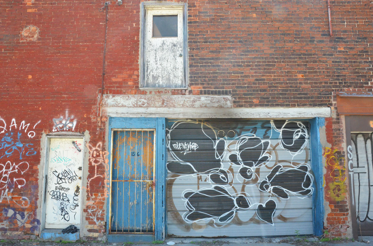
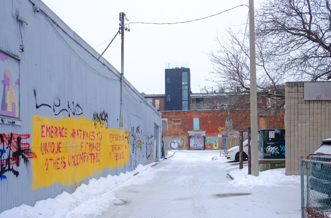
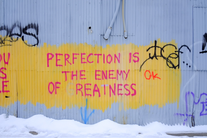
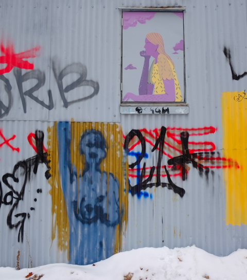
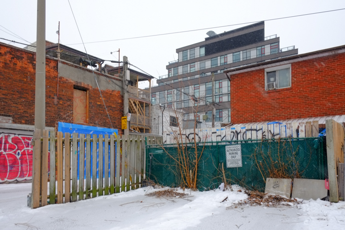
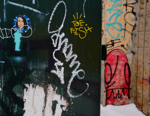
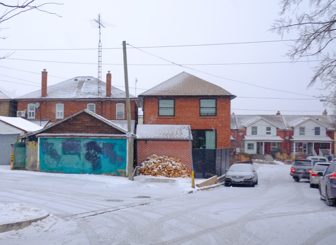
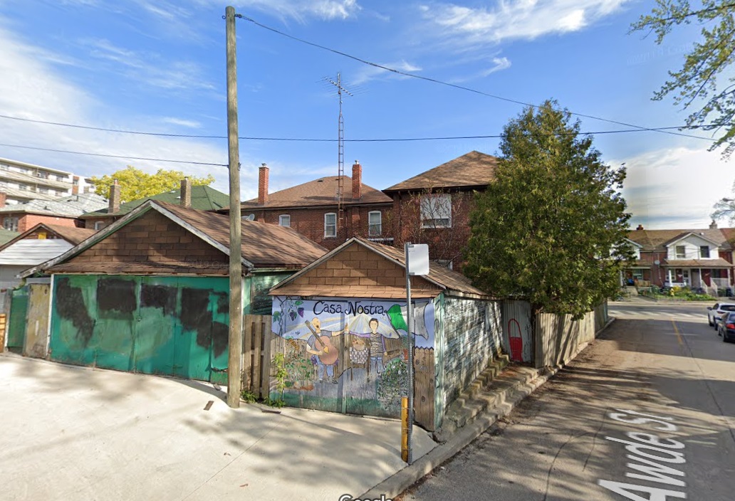
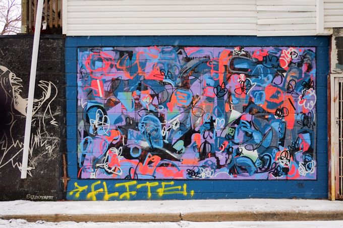
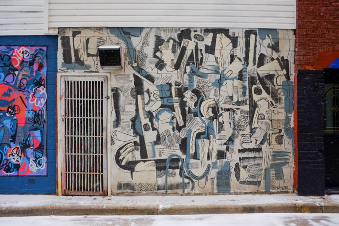
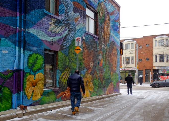
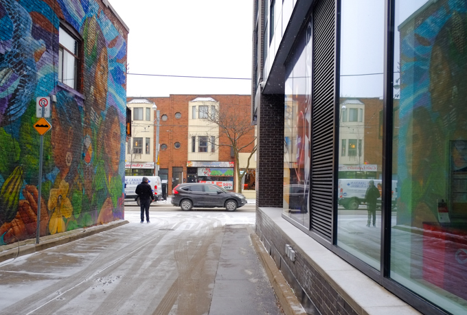
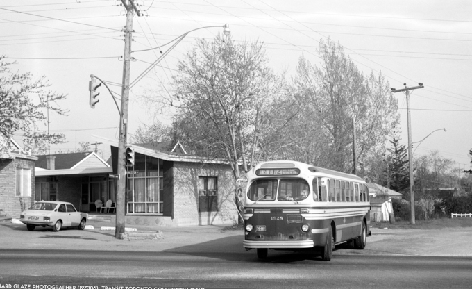
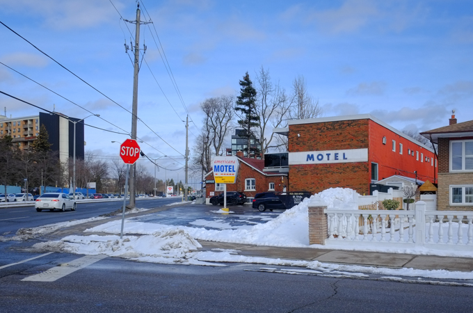
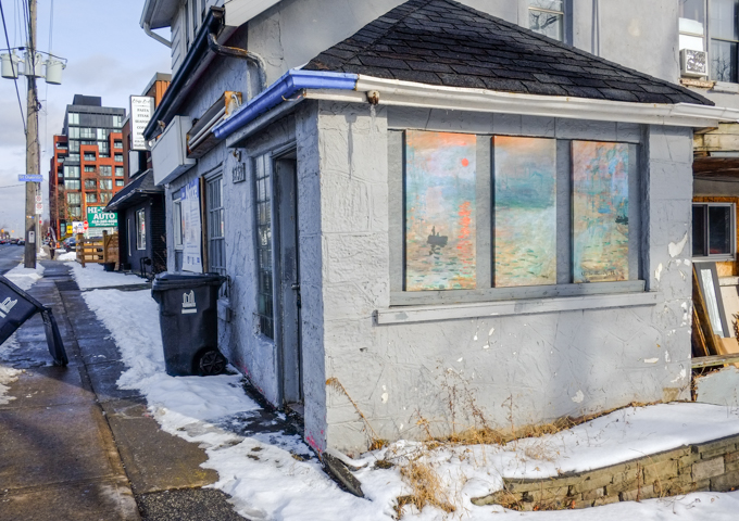
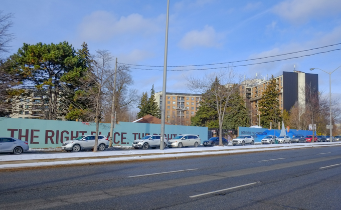
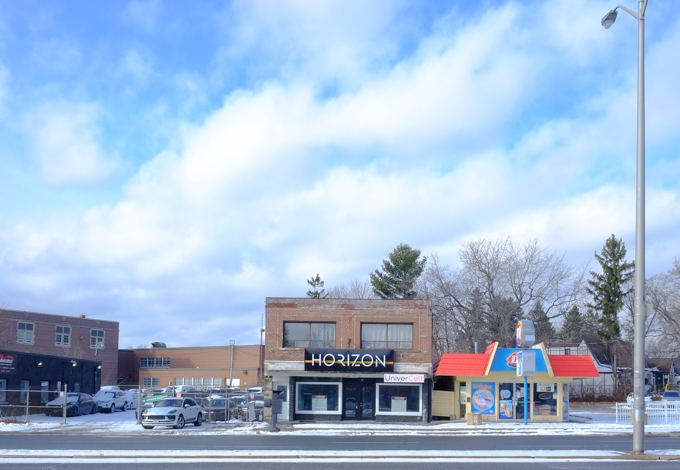
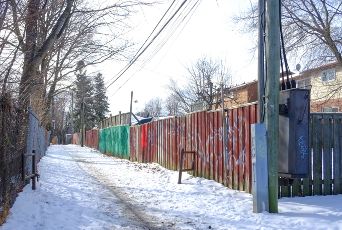
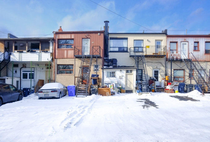
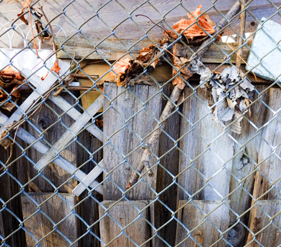
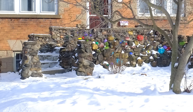
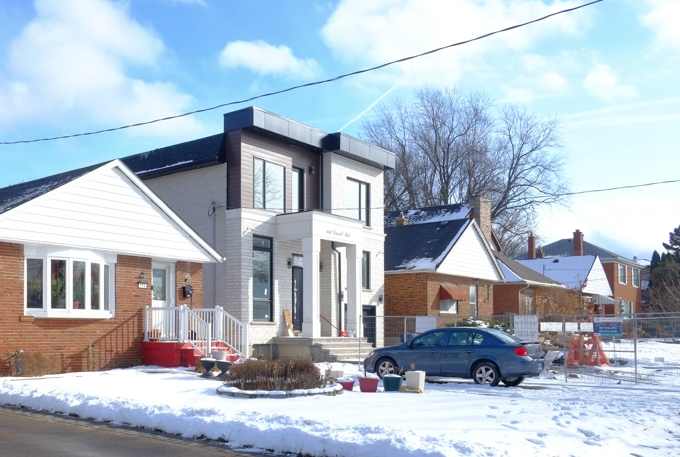
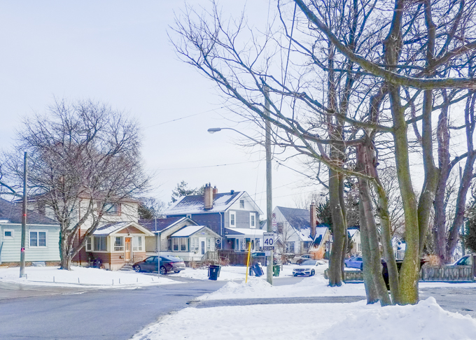
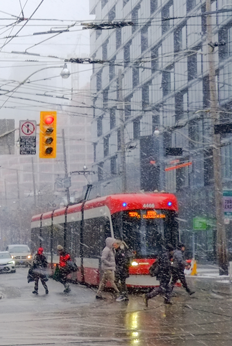
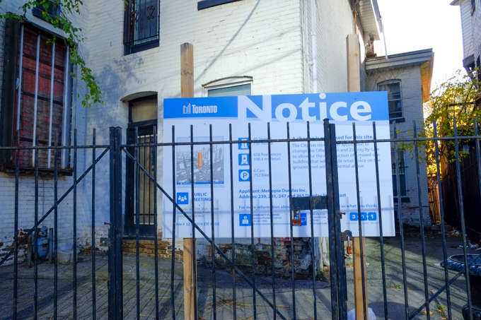
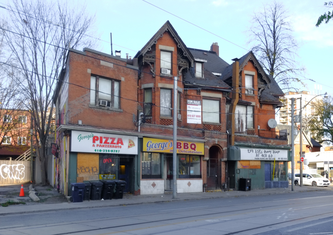
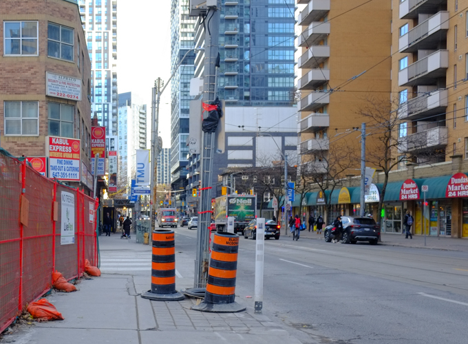
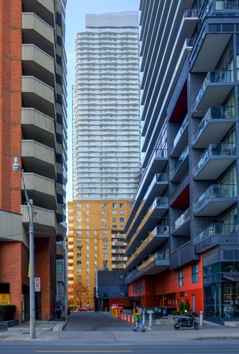
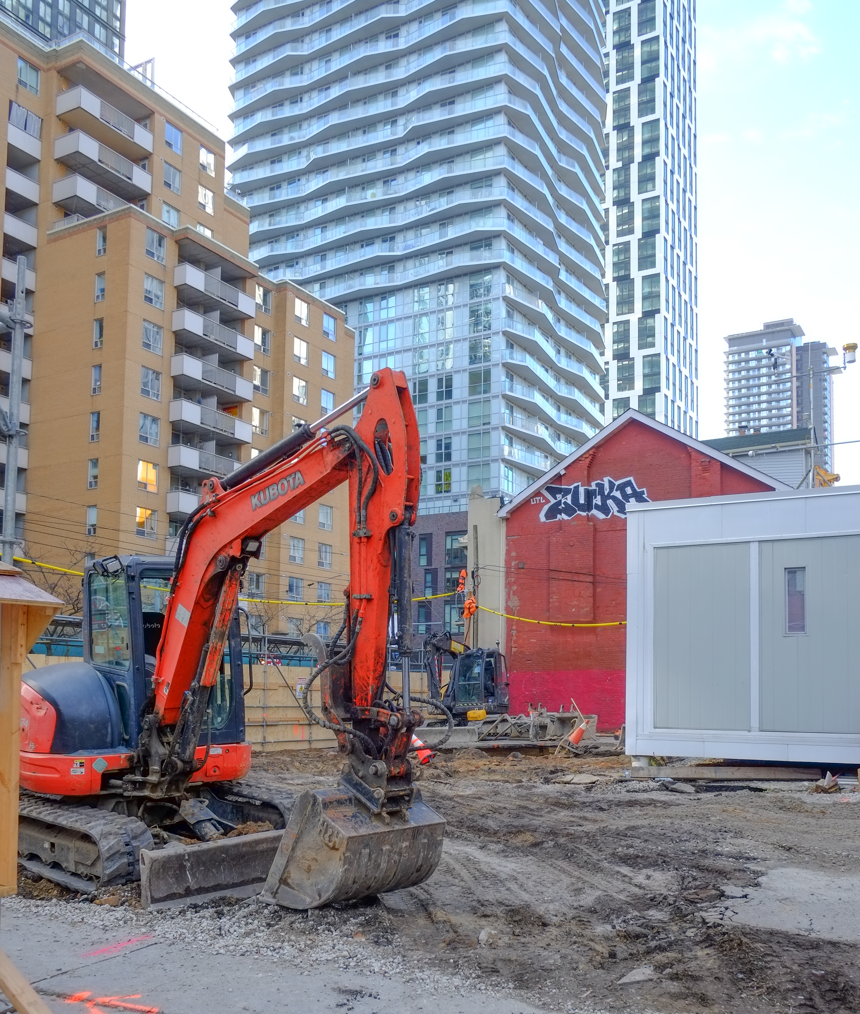
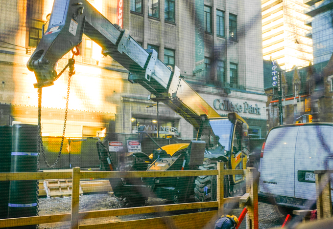
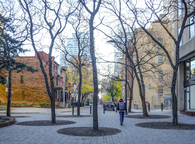
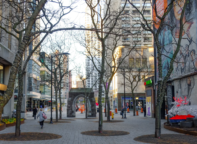
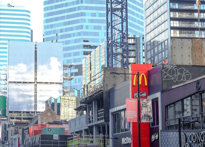
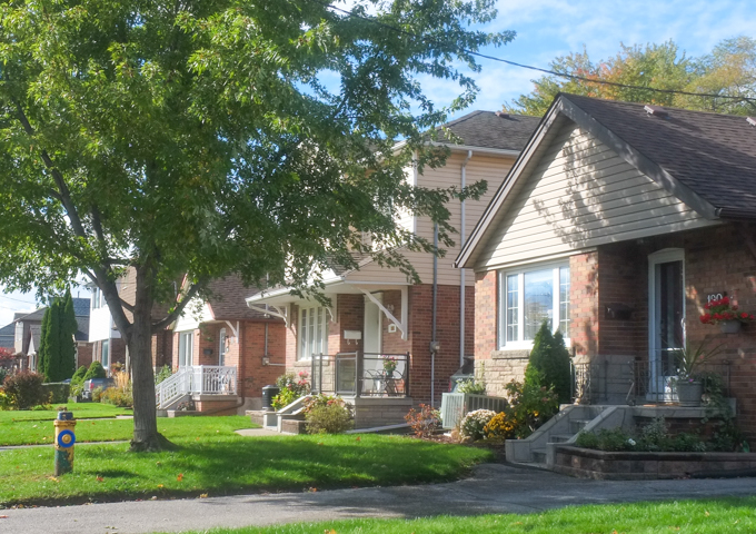
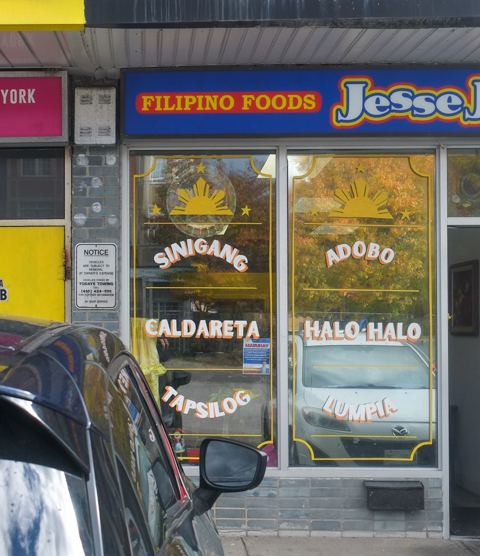
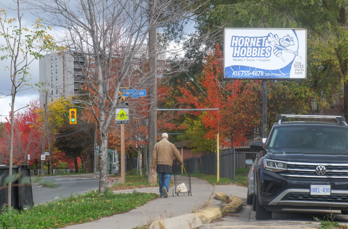
Every neighbourhood has a story to tell, even if it’s just the story of a quiet life in their own corner of the city.  There are many similar threads that run through the many narratives of Toronto neighbourhoods – the ethnic stores and restaurants, the redevelopment of older buildings into new housing, quiet side streets.  There’s probably a mix of residential styles – single family homes, rowhouses, older apartment buildings, and newer glass and steel condos where people are trying to live as best they can.   It is a scene repeated over and over again.  Parts are fascinating, parts are dull and lacklustre.  There will always be utility poles and wires and garbage bins in the way.    Maybe there will be an alley or two to explore – with old abandoned cars, basketball hoops, and graffiti left behind by jilted lovers or angry young men.   There’s probably a vacant lot where a building has been demolished – or perhaps it hasn’t been demolished yet but it’s just sitting there taking up space and looking sadder and sadder with time.

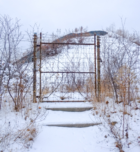
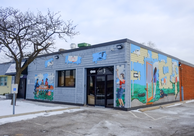
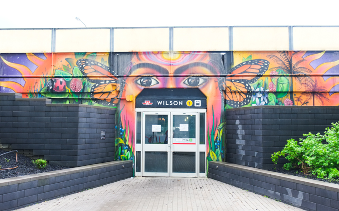
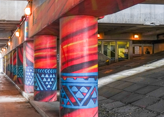
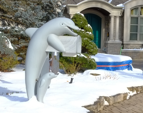
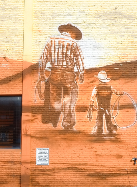
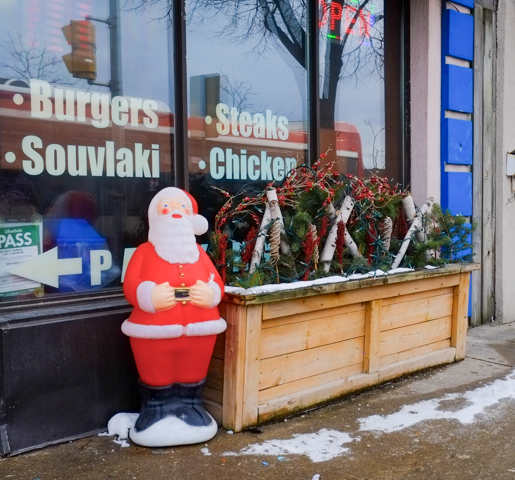
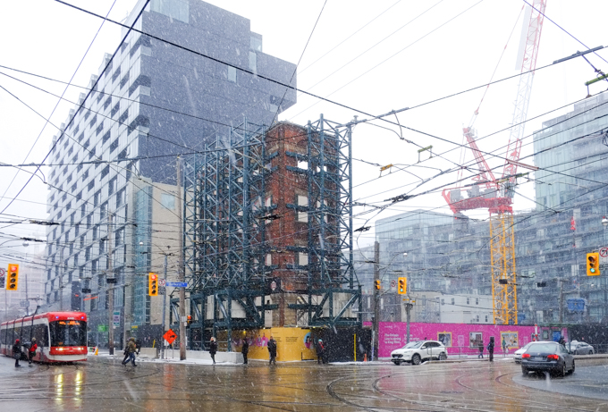
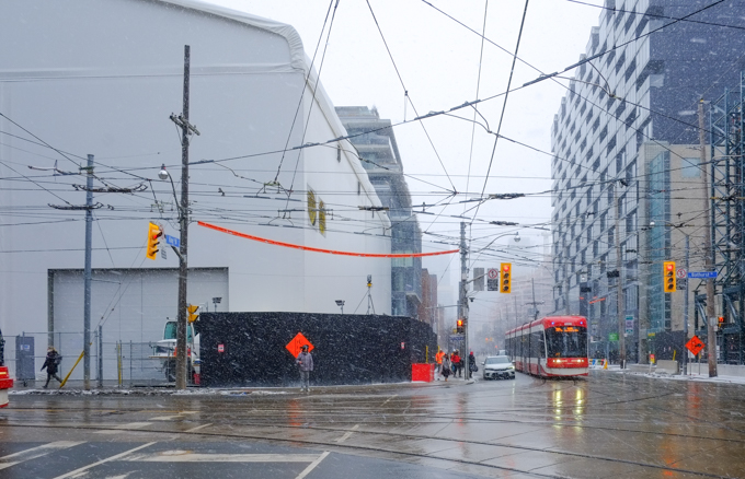
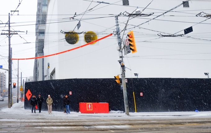
Just because there are many similarities doesn’t make it less interesting.  Here are a few images from “between Amsterdam and Skopje”.

old welcome banner is falling off the wall, glass wall, with bright red above it

single family homes on a tree lined street

upper two storeys of a line of rowhouses, each slightly different, brick

upper level, back of stores on O'Connor, white brick strip mall, square white chimneys

blue metal xonstruction fence in front of an empty building with parking lot in front of it

parking lot and abandoned buildings waiting to be demolished

faded picture on exterior wall, overflowing cup of coffee or tea on bottom of foot that is upside down, wearing white sock

mailbox at number 1519, beside an image of a woman lying on her back

markings on a sidewalk in pink and red


large yellow arrows on the pavement in a parking lot

backyard garden with overhead vines

bright orange leaves on a tree in front of an apartment building

brick residence, fall colours outside

window of Jesse's filipino foods restaurant

reflections in the window of an audio equipment store

looking in the window of Shakira Beauty Academy, with some reflections of trees and cars outside

halloween decoration, life sized skeleton sitting on a chair on a balcony

two metal boxes on sidewalk painted with street art

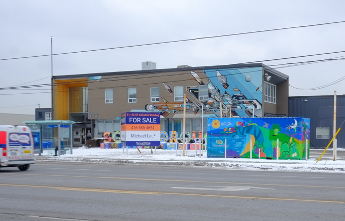
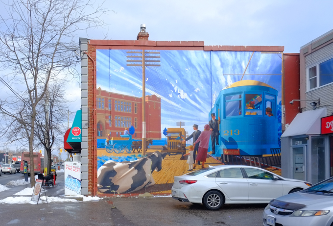
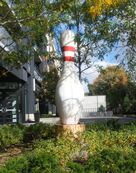
Not every neighbourhood has a large bowling pin (as public art). Backstory – the condo that this pin sits in front of was built on the site of the old O’Connor Bowling Lanes (1951-206).

very large white bowling pin sitting in the middle of a large raised garden, as art

Of all the similarities that this neighbourhood shares with others in the city, not many of the others can claim to have a cookie outlet….

entrance to Peek freans cookie outlet, one car parked in front, mostly glass front to the building

And even more unique,  it’s also the home of the Peek Freans Biscuit factory.  There was a lovely sweet vanilla-ish smell in the air the day that I walked around.  Peek Freans has a long history in England dating back to the 1850s.  In 1949 they established their first bakery in Canada, here on O’Connor Drive.

entrance to peek freans cookie factory, a yellow brick building

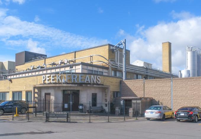
Although the company has changed hands numerous times since then, the East York factory still produces cookies (and other items such as Oreos and Wheat Thins) for Mondelez Canada.

looking across O'Connor Drive towards Peek Freans cookie factory

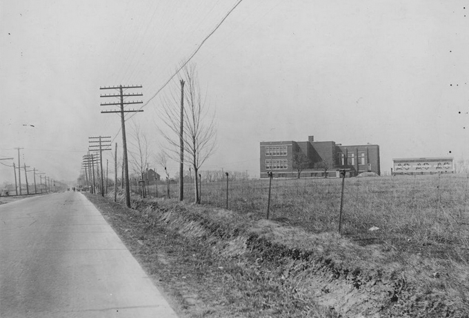
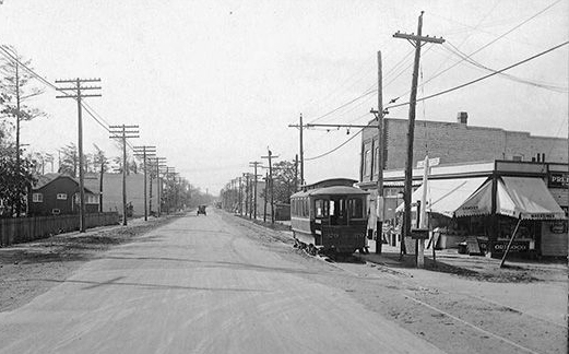
Back in 1953 when this photo was taken there wasn’t much else around!

black and white photo of Peek Freans cookie factory in 1950s, on O'Connor drive, not much else is around it ,

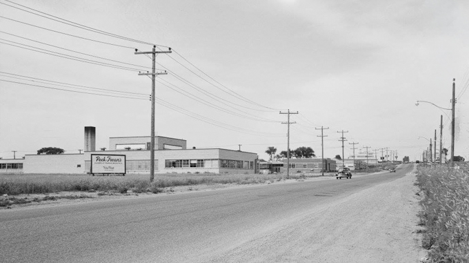
source: City of Toronto Archives, fonds 1128, series 380, item 39

.

tops of storage silo towers at peek frean cookie factory

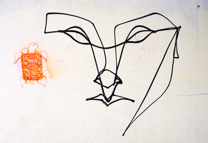
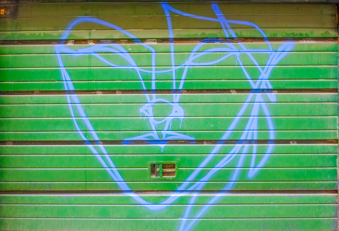
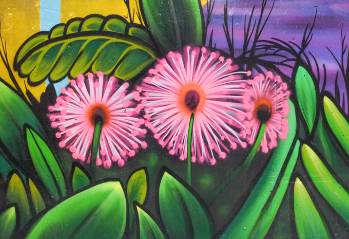
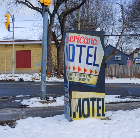
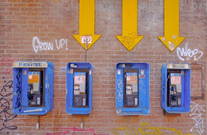
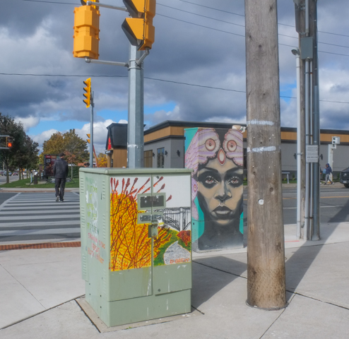
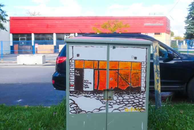
below: A couple of the metal boxes painted by D. Drew.

orange painting on a metal bell box, car parked behind it, boarded up business in the background with for sale sign on it, painted by D. Drew

forest sunset scene painted on a metal sidewalk box

man walking dog on sidewalk, past fall coloured trees

orange traffic cones stored in pink container

clear bottle with yellow liquid, partially full, sitting on a yellow concrete wall

side wall of a white brick building

looking in a window with flat rectangular ceiling lights, reflections of hydro pole and lines outside

balcony wth black railing on a grey brick building, blue sky with a cloud, transformer on hydro pole, with some wires

row houses on the corner of O'Connor Drive and Skopje Gate

After I wrote this blog post I asked google for a list of streets in Toronto named after American cities.  I got this answer: “Toronto has a number of streets named after American cities, such as Chicago Street, Dallas Street, and Milwaukee Avenue. These streets often have historical connections or reflect the city’s relationships with other North American metropolises.”  I had never heard of these streets in Toronto!  Maybe I missed something.

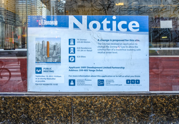
My next move was to look for Chicago Street in Google maps.  “There is no street named “Chicago Street” in Toronto” was the answer.  I also struck out looking for Dallas Street (which is when Google tried to direct me to Yonge Street).  The answer when I searched for Milwaukee Street was the best of all – “There is no “Milwaukee Street” in Toronto; however, there is a street called Ossington Street, often mentioned in lists of the city’s coolest streets, and a retail store named The Milwaukee Road located at Yorkdale Mall).   The next time you walk down Ossington, you can think of Milwaukee!


a little bit of Church Street, on the run…..

And of course, a lot of in-between too.  A bit of a random walk south from Bloor on Sherbourne, Jarvis, and Church.  A zigzagging walk through four neighbourhoods.

  But first, coffee!  De Mello Coffee on Bloor has mirrors under their counter and it makes for some strange scenes.


inside a coffee shop, de mello coffee, counter has mirror below so that reflections of backs of people sitting are seen from the waist down

below: In the lobby of Postmedia Place on Bloor Street there is this sculpture – three people reading newspapers.

statue, sculpture, in post-media news building lobby, a group of 3 people reading, 2 sharing a bench, and one boy lying on the ground.

below: I found not one, but two, anser faces of unknown vintage in an alley just west of Sherbourne

anser graffiti face drawn in black on a white wall in an alley

graffiti artist anser, blue line drawing of a face on a green garage door

below: Upper Jarvis was neighbourhood number one that day.   The north end of Jarvis Street is at Charles Street; here Jarvis splits into Ted Rogers Way (old Jarvis Street) and Mt. Pleasant.

city of toronto street sign for bloor street east, with header of upper jarvis

below: Looking south along Mt. Pleasant immediately south of Bloor. If you can see the covered pedestrian walkway over the street in this picture, that is where Mt. Pleasant turns slightly left and becomes Jarvis Street.

jarvis street, south of bloor, looking south

below: Ishkozi Park is a small green space on Huntley (actually on the grounds of Rogers Toronto headquarters).  The benches have been recently painted, but the large sculpture in the center has been there a while.  The walking lady in the sculpture may look familiar and you may be thinking to yourself, “Where have I seen her before?”.  The stainless steel sculpture is a giant tree and is titled ‘Red, Orange and Green’ and it was created by artist Michael Snow. …. Have you figured out why she looks familiar? … She was first spotted back in the early 1960s…..

ishkozi park on huntley street, with large metal sculpture, and rainbow painted benches


The neighbourhoods along Sherbourne and south of Bloor are other rapidly changing areas of the city. On the west, many older homes still exist but they are empty and obviously waiting demolition (or inclusion into a large condo development?).

below: Once they were a few family homes, now they are a number of smaller apartments.   Interesting brickwork.

set of 3 rowhouses, red brick, bay and gable, with taller apartment buildings and condos behind them

two older large red brick residences near Bloor and Sherbourne, three storeys each, with large newer glass and steel condo behind

below: Another ubiquitous development notice sign – this time to inform us of a very large two tower development that involves three streets, Huntley, Linden, and Selby.  Portions of some of the older houses would be kept and the towers would be behind them.  I did not do a complete research on the planning application (21 227527 STE 13 OZ) but it seems like city council didn’t like many parts of the initial proposal back in 2021/2022.  I do not know what it’s status is now.

older white two storey house, with development notice sign on the front lawn

older brick residences on a side street near Jarvis and Bloor, with large Rogers headquarters building behind


below: On the east side of Sherbourne, it is Howard Street that is torn up. This is the west side of St. James Town.

workman at a construction site

hoardings around a construction site at Howard & Sherbourne, design by Sarah Klawiter, abstract shapes that look a bit like a city scene, with trees and grass, as drawn by a child

below: A cheeseburger with a sesame seed bun!

bell on the handle bar of a bike, shaped like a cheeseburger with a sesame seed bun

below: Someone’s heart is in heaven, but Lisa and Jerry 4-Ever!

wood park bench with graffiti, words that say my heart is in heaven, also Lisa and Jerry 4 ever

below: Jarvis & Gloucester/Earl northwest corner.  Some black, some white, and lots of grey.

apartment buildings and new highrise glass and steel condos, looking north on Jarvis, west side of the street, at Gloucester

below: Fancy brick work, rounded windows, and a turret!

older brick building with fancy brick work, rounded windows, and a turret

old lamp posts by a brick building

bay windows and stone work above the entrance to the Earl, a low rise apartment building

below: Church Wellesley village, neighbourhood number two.

street sign for Wood st., with header of Church Wellesley village in rainbow stripes, old Maple Leaf Gardens in the background

below: Once upon a time it was Maple Leaf Gardens, home to the Toronto Maple Leafs hockey team (1931-1999). Now it houses a Loblaws grocery store and TMU athletic facilities (Mattamy Athletic Centre). Northwest corner of Church and Carlton

old Maple Leaf Gardens on the northwest corner of Church and Carlton, now part Loblaws store and TMU athletic facilities

Church street side of old Maple Leaf Gardens, art deco brick work

a man sits in a TTC streetcar in downtown Toronto as another streetcar passes it, going in the opposite direction

below: Lots of pink on Maitland Street.

old houses on Maitland street, now stores and businesses, one is painted bright pink with a turquoise door

below: Garden of Lost Boys – dedicated to the memory of friends and neighbours lost to the AIDS epidemic.

small statue in a garden, surrounded by flowers and flowering shrubs
metal circles for locking bikes to, painted in rd, orange, and yellow, in front of a store with a window display that says love sholdn't be bottled up

below: Hot tub macrame!!  Finally, a use for those plant hangers that you (or your mother) might have – that you probably made back in the 1980s.  If you don’t have such a thing, you can find this one in a store on Church Street.

grey plant pot in a macrame holder, with three naked Ken dolls sitting inside it

metal fence in front of store window painted in rainbow colours, reflections in the glass

convenience store, lower level, steps down to it, on church street, with rainbow canadian flag, ad of lott max lottery, ups store ad,

part of a mural by Barbara Hall park, a young person with a long rainbow banner

below (also above): Tribute to Sarah Hegazi, written in 2020.  “To my siblings: I tried to survive and failed, forgive me. To my friends: the experience was harsh & I was too weak to resist it, forgive me. To the world: you were cruel to a great extent, but I forgive.”  Hegazi was an Egyptian writer and LGBTQ activist who was arrested and tortured in Cairo for waving a rainbow banner. She found asylum in Canada in 2018 but died by suicide in Toronto two years later.

mural in Barbara Hall Park, tribute to Sarah Hegazi, large black and white portrait, with text, rainbow painted benches in front, park

below: Patchwork teddy bear graffiti sticker by artsbyabe

graffiti sticker, patchwork teddy bear with a black eye, in the background, a rainbow coloured crosswalk

two men walk past Soy Boys massage on church street
sidewalk traffic box painted in blues and purples with large text that says It's all about drag

below: At the end of the rainbow you will find O’Gradys – in on of the few half houses that exist in the city.

O'Gradys tavern on Church street, with rainbow crosswalk in front of it

man in blue hard hat a construction site on church street

construction site with digger in the middle of an intersection, church street

policeman directing traffic in front of a ttc bus, a man on an electric scooter,

below: On a school wall – a door with rainbow stripes and hearts along with Honesty (Gwekwaadziwin) and Wisdom (Newaakaawin)

doorway of a school with rainbow stripes and hearts, and some words in indigenous language

below: Gerrard Street East and the Garden District,… now we are at number three.

city of toronto steeet sign for Grrard St East, with header that says Garden District

below: … but wait, Gerrard Street East in McGill Granby Village?  The difference of course is that one is on the west side of Church and the other is on the east.  Neighbourhood number four.

city of toronto steeet sign for Grrard St East, with header of McGill Granby Village

below: By the time we get to Queen Street, we are in Old Town Toronto, Historic Queen Street and Neighbourhood number 5.

Old town toronto city street sign for historic queen district, queen street east
top of a TTC streetcar at church and queen

below: The round turret of that yellow building still remains. The green scaffolding keeps the facade stable while new development occurs around it.  Some of you may be old enough to remember it as a Thriftys Sports Shop.   The last business to occupy the space before demolition was Shawarma’s King.

two streetcars going in opposite directions about to pass each other at corner of church and queen, a man on a scooter is also in the intersection
black and white photo of a couple standing on a street corner while a TTC streetcar passes them, both are wearing hats, she is looking for something in her bag and he is watching her

below:  Church street just north of King.  Fenced off and closed to traffic.

beside construction zone, workman waiting for group of people to pass before letting a dump truck pass through gate

person walking a small black dog on sidewalk beside construction zone at king and church

west side of St. James cathedral on Church Street, construction machinery on the street, were pavement has been removed

below: The intersection of Church and King, looking towards the southeast corner.

looking southeast at the corner of king and church streets, workmen on the road, pavement removed, closed to traffic,

below: Still King and Church but a slightly different angle

at king and church, construction fence, on west side of church, looking at southwest corner of the intersection BMO bank

buildings on king street, engel and volkers, old brick buildings, newer glass behind, street torn up for ontario line constrcution

below: … Also King Street

sidewalk patio on king street, with red umbrellas and decorated with lots of flowers including pink petunias

below: Leader Lane runs between King and Wellington. After many years of “discussion” and planning, the part of Leader Lane that is south of Colborne just might get pedestrianized.  This picture show the north half of Leader Lane and yes, that section has just been completely redeveloped around the older white building.

O'Briens tavern, Leader Lane

below: P.J. O’Brien’s has been on the corner of Colborne and Leader Lane since 1966.

front of O'Briens tavern, Leader Lane and Colborne street, an old yellow buolding with blue trim

A quick look back at Front and Sherbourne – this is the northeast corner of that intersection.  A lot of new development here!

northeast corner of Front and Sherbourne streets

Phew! Time for a rest!

workmen sitting and having a rest on the job site

With thanks to all the friends that I walked with that day…. shown here doing what we all do best, play in our favorite photo places (in this case, Leader Lane, side of P.J. O’Briens)

by the large clock on the side of P.J. OBriens on Leader Lane, by their guiness ad,

There is talk about what to do with the Scarborough Rapid Transit (SRT) line that runs from Kennedy station, north to Lawrence and Ellesmere, and then east to Scarborough Town Centre.   The SRT was built in 1985 and then closed in July 2023.  The concrete and glass infrastructure still remains.  The tracks are gone.   A few years ago, I went for a ride on the SRT (blog post is  Are you going to Scarborough? ) but I never checked out the stations themselves.  Since I am not sure how much longer they are going to exist, I thought I’d better take a look before it’s too late.

below:  Lawrence East station nestles under the bridge where Lawrence passes over railway tracks between Kennedy Road and Midland Avenue.

low flat concrete building, Lawrence East station on now defunct SRT line. It is under a bridge, under Lawrence Avenue.

looking in the windows of lawrence east rapid transit station, now empty, reflections of outside as well

below: Although the SRT tracks have been removed, other tracks remain.   These tracks continue on to Agincourt GO station and points farther north.

behind chainlink fence, train station, but with tracks removed.

below: Looking south

chainlink fence, with railway tracks behind, two sets of tracks, the ones in the foreground have been removed

below: Signs for 54A and 954 Lawrence buses

overhead signs for lawrence bus routes at old lawrence east station

below: If you wanted to cross the tracks, this was the fastest way…

stairs for underground passage to cross subway tracks at lawrence east station, round hole with stairs in the middle,

stairs down to underpass under railway tracks at lawrence east srt station, metal doors locked closed,

north side of lawrence east srt station

northwest corner of lawrence east srt station

below:  Permanently closed

poster on door of srt station, picture of old srt subway car, notice that the line is permanently closed.

below: Mike Myers Drive with Lawrence East station in the background.

below: A short distance north of the Lawrence East station is the old Ellesmere station.  It too is under a bridge (under Ellesmere of course!).  It is smaller than the Lawrence East station

south side of Ellesmere station, with tracks now removed, curved glass structure under a bridge,

below:  Ellesmere station also has the circular hole for the stairs leading to an underground passage.  The station looks like a big glass tube.

ellesmere station, east side, with blue railing around circular hole, long glass tube structure in the background that is the station, bridge overhead


looking in window of ellesmere srt station, reflections, sign saying southbound to kennedy

below: Someone is missing their lock.

three toronto bike lock rings, painted red, one with a rusty chain and combination lock still on it.

After Ellesmere station, the SRT turned east, diverging from the other set of tracks.  Midland station was just after the turn – on Midland between Ellesmere and Progress.  Sorry, no pictures (busier street, no parking).  Although the architecture is similar (a glass tube), Midland station is built on top of a bridge, above the road instead of below it.   From Midland the trains went directly east to Scarborough Town Centre.   For most of thee eastern section, the tracks run behind industrial or light industrial land.  I haven’t been able to find out if there is any access or if it is all fenced off.

below: East view of Scarborough Town Centre station with covered walkways from both the federal government building on the left, and the shopping center on the right.

a TTC bus passes by Scarborough Town Centre station with its now abandoned elevated tracks

below: No trains run here anymore, but the station is still used for buses with the elevated rails being used as a roof.

TTC buses loading and unloading at Scarborough Town Centre, seen from above, from the walkway between station and Scarborough Town Centre

people opening doors going into Scarborough Town Centre

below: Pillars supporting the elevated tracks still run through the parking lot of Scarborough Town Centre to McCowan.

pillar P53, and others behind it, SRT tracks at Scarborough Twn centre parking loto

below: McCowan station was the eastern end of the line.

McCowan SRT station, glass, reflections in the glass

below: McCowan station viewed from the east side. The tracks continued a short distance to the SRT yard where trains were housed and serviced.

east side of McCowan Scarborough Rapid Transit station, elevated line for transit

elevated tracks for old scarborough srt, in front of a tall condo building

below: At McCowan, Scarborough Transit Connect is partnered with Metrolinx to build the new Scarborough Extension subway from Kennedy station to a new terminus at Shepherd and McCowan. See a previous blog post, Intersections –  McCowan and Sheppard for some photos from

fence around construction site, Scarborough Transit connect, working on new Scarborough Town Centre station for Scarborough extension of line 1 of TTC subway

below: Traffic on McCowan is impacted by the subway extension construction

looking north on McCowan at Progress, by old McCowan srt station, concrete barrier narrowing the street, construction on the right

below: One more view of the construction at McCowan station

below: And last, I found evidence on a pole in the parking lot at Scarborough Town Centre that indicates that I have missed the Rapture; they left without me. I guess that I am stuck here!

graffiti sticker on a pole that says Rapture Jesus took us home

below:  Signs. I always read the signs.  As I approached the fence, I was preparing to read about yet another condo so I was pleasantly surprised to read, “building with Electronic Gaming and Bingo Hall”!   Apparently Dolphin Gaming has submitted a number of applications for developing this site over the past few years and finally, back in November the plan for a lowrise building with plenty of parking was approved.

blue and white city of toronto development notice sign,

I came across the above sign a few weeks ago when a small group of us explored a rather forlorn section of Scarborough. “Forlorn” can be fun because often it equals interesting photography opportunities.  It was still winter then; back when there was still snow on the ground.

do not enter sign on chainlink gate, in front of light industrial, storage facility

Many people react to seeing a group of people with cameras walking in their neighbourhood.  Some of the natives are friendly and want to talk, even if it’s just a minute or two of small talk.  We can be a chatty group.  A number of times during this walk we were asked if we were looking to buy.  When we asked if what they had was for sale, the answer was frequently, “everything is for sale”.  I can not vouch for how true that is, but in this section of Scarborough it certainly felt possible.

city street signs on a stop sign pole, cleanside road and warden avenue, vacant lot behind

a yellow digger and a full blue dumpster on a snowy vacant lot, behind barbed wire fence

cars and other junk stacked three levels high, outdoors,

small plastic santa claus beside a mail box

large 18 wheeler truck cab, with three mirrors on drivers side

looking between the backs of trucks that are parked close to each other

below: Signs!

below: Oh no!  I can picture the driver jumping out of his Cybertruck already for his shift in a school bus!

Tesla cybertruck parked by Stock school bus office building, small yellow school buses in the background.

below: Most of the architecture is one storey brick buildings, long and low.  This type of roof over the entrance probably has a name, canopy? awning? – it seems very 1960s or 1970s.

one storey light industrial building in scarborough, with zigzag roof over entrance

below: Largest in Canada!  Pink windows say: Open to the public…. We can finance your kitchen for a few dollars a week….Big or small, we auction it all…  (and more)

building housing a company that specializes in liquidation, buying and selling of items unsold or unwanted by others

below: Old style bus shelter with no ads.

Warden Ave in Scarborough, bus shelter in front of low rise red brick building with green roof,

below: Railway tracks cross Warden Avenue at a level crossing

private property, no trespassing sign beside railway tracks in scarborough


hoardings with photos of city buildings with blue sky backgrounds, behind chainlink fence

broken front headlight of a purplish coloured van

old purple van with patchy bodywork

pile of stuff outside a red brick building, including a gatorade vending machine, green plastic chair, two shovels, a metal container, a red plastic gas can, and more

stuff being stored outside behind a gas station including a sign that says hand car wash, yellow dumpster,

gas station in winter

wood chair with old beige cushion sits on a snow covered sidewalk in front of a building under construction

below: A large pile of old used wheel rims
pile of old wheel rims, other piles of scrap metal and metal for recycling

large dump truck entering Triple M Metals site

looking through chainlink fence at large dump truck entering Triple M Metals site

behind chainlink fence, old cars parked bumper to bumper

locked gate, steps leading up to gate, mound of dirt behind gate, winter, snow on ground

rusty barbed wire drooping down across chainlink fence,

signs on the side of a building, one of the signs is partially fallen off

a red brick building with two tall skinny windows is beside and slightly in front of a yellow clad building, picnic tables in the space between the two, snow on ground,

two piles of pallets sitting outside a brick building with graffiti on the walls

below: “Puzzle” created by Elaine Teguibon, Tara Dorey, Raymond Cho, as well as  youth employment program artists, 2011.  Funded by the City of Toronto.  It covers the front of the Youthlink building .

youth theme murals on low rise building, mural routes

kids playing cards, youth theme murals on low rise building, mural routes

below: It has a couple of Mediah murals and a Scarborough 3D sign, and now its for sale…. (more details at: Scarborough Mediah blog post)

building for sale. mediah murals on two sides, big for sale sign in front, bus stop, painted storage container in front, warden ave in scarborough

below: More for sale!  All one storey.  This is steps  the new Eglinton LRT (we think!).   It is zoned M4A-225 which is industrial.  Also sneaking into the picture –  You might recognize the large white city of Toronto water tower near the corner of Warden and Eglinton.

large for sale sign beside stores and businesses on warden ave., toronto water tower in the background, snow,

below: Domestic Tank & Equipment with its wall of small panes of window glass.  There must have been hundreds of these types of buildings in Toronto once upon a time.

gates of Domestic Tank and equipment factory, yellowish bricks with large windows made up of hundreds of small panes of window glass

I tried to find some history on this building… instead I learned a lot about “liquid storage solutions since 1952”.  Industrial use tanks are actually quite interesting!

part of wall of windows at Domestic Tank and equipment factory, yellowish bricks with large windows made up of hundreds of small panes of window glass

below: Where an Electronic Gambling & Bingo Hall just might go …

vacant lot with concrete barrier blocking entry

old roller gate, open position, driveway now blocked and lot now vacant

old faded and rusty metal sign on chainlink fence

As I was taking the above three photos, I had my back to another very large abandoned site which happens to also be the place where I ended the walk. A large and very empty Rona store occupies a large chunk of prime real estate.  It was made redundant when  Lowes and Rona (both were big box hardware and building supply stores) merged a few years ago.  A second, but very active, Rona store is only a block or so away.

below: It is quite a large piece of property.  Present asking price is just over $50,000,000.

snow covered field in front of empty rona store in scarborough

side view of main entrance to rona store

view of empty loading bays at empty rona store

billboard in empty parking lot of a now empty rona store

below: Although I know that big box stores are big, they look even bigger when they are empty.  There doesn’t seem to be much to them – some beams to make a metal frame, add a few pipes and some wires, and wrap it on all sides.  An engineer or a contractor may disagree, but it looks so simple.

interior, empty Rona store

interior, empty Rona store, looking in through window with reflections of exit door and parking lot

below: Over and out!

exit door from old abandoned rona store

Thanks to the usual Wednesday walking group for letting me join them once again – All bundled up for walking on a winter day!

backs of people walking on sidewalk, past shiny reflective hoardings, with new housing in the background

yellowish vertical cladding, interior wilson subway station, with blue sign with arrow pointing to the left for northbound trains

Wilson subway station, on the University side of  Line 1, opened in 1978 and was the end of the line until Downsview station just to the north opened in 1996.  It is not a thing of beauty.  Concrete.   Austere from the outside.  It’s entrance from under the Allen Expressway is dark, gloomy, and depressing.

below: Northwest entrance to the station, nestled up against the Allen Expressway.

northwest entrance to wilson subway station, right next to the allen expressway

below: Walkway to southwest entrance

southwest entrance to wilson station, sidewalk through grassy area to entrance

That stretch of the subway runs down the median of the Allen Expressway.


below: Although the platform has a roof, it is open at the ends and in the winter it is cold.  There are a few of these pod-like waiting areas, circular glass structures with benches for those wanting a tiny reprieve from the wind.

on the platform of wilson subway station, circular pod-like structures made of glass, with benches, waiting areas

below: Inside the station a concrete wall sculpture by Ted Bieler entitled ‘Canyons’

very textural wall sculpture by artist ted bieler, called canyons, inside wilson subway station

two orange cones beside a phone booth against a concrete wall, interior, wilson subway station

What drew me here in the first place ….  To help brighten up the area, some of the concrete, both inside and out, has been covered with murals by Shalak Attack, Bruno Smoky, and Clandestinos,

below: An owl and a woman’s face at the two south entrances.

owl face, mural, around an entrance to Wilson subway station

clandestinos, or shalak attack, mural of a woman's face with butterflies and flowers, surrounding one of the double doors, entrance to wilson subway station

below: There is a lot of street art along Wilson Avenue but most of it is under the Allen Expressway and is not well lit. Some of it is also looking very dirty.

pillars painted with red and blue designs, under the allen expressway and beside wilson subway station

concrete pillar with street art, large brown fingers, people walking towards subway entrance

below: Pink flowers inside the station

part of a mural, inside wilson station, of bright pink flower


below: Circular “Kiss ‘n Ride” still exists.

round flat building, wilson kiss and ride, where cars can dropoff and pick up passengers

below: Exit at Wilson Heights

silhouette of man walking down hallway at wilson station, light coming through the door at the end of the passage, exit to wilson heights side of the station

below: Northeast side of the station, along with the Allen Expressway

northeast side of wilson subway station

I took most of these pictures back in the summer but I hadn’t taken the time to blog about what I had seen.  When I drove past Wilson again recently, I noticed that the parking lot on the east side (towards Wilson Heights) is now fenced off.  Now it is a snow covered vacant lot.

below: Parking lot before

bike parked outside wilson subway station

below: … and after. You can still park your bikes here, but no more cars.

vacant lot, snow covered, on the east side of wilson subway station

below: There is a City of Toronto development notice sign on the side of Wilson station.  It looks like the city may be serious about affordable housing at this site.  Apparently this has been in the works for a number of years but faced some opposition form those who wanted to keep the parking lot.   Just shy of 1500 units in six buildings are planned on the site along with community space and a public park.  The percent allotted to affordable housing varies from 35 to 48 percent, depending on the source of the information.

To the west of the station, on the north side of Wilson, is the remains of the Downsview Airport lands.

sign on chainlink fence around downsview airport that says airfield, 24 hour surveillance. it is covered with graffiti stickers,

looking through chainlink fence at old airport property, unused road with deteriorating pavement, buildings in the very distance, lots of grass and sky

below: One of the four winners of the ‘XOXO Downsview, Talking Fences’ competition of 2023, is “Aandi wenjibaayan?” which translates to “Where are you from?”  It was suggested by Lakhvir Sandhar.  The other three winners have their words displayed elsewhere on the Downsview property.

vintage photo taken from low flying airplane of bishop-barker airplane limited,

Photo credit: Toronto Public Library online digital image archive

The south side of Wilson is retail and is now Wilson Village.   It is also where you will find Billy Bishop Way named for Canadian pilot.  It is nowhere near Billy Bishop Airport (that’s WAAAAY south, on the island, or the other one in Owen Sound) but is a nod to Downsview’s history as an airfield and its role in airplane manufacturing.

William Avery Bishop was born in Owen Sound in 1894.  He was a Canadian flying ace during WW1.

toronto street sign for billy bishop way in wilson village, on wilson ave

side of home depot store, parking lot, wilson avenue

below: Looking southeast past the old metal fence that surrounds the parking on the northwest side of Wilson station.  Big box retail on the other side of Wilson, and newer midrise to highrise residential development on the other side of the Allen.

standing in parking lot on west side of wilson station, looking southeast towards allen expressway, retail big box stores on west of allen, new residential highrise on the east side

Very close to the planned “affordable housing” but on the south side of Wilson, there is already a new community being built.


There are many older single family homes to the east, in a quiet neighbourhood squeezed in between Wilson and the 401.

I even discovered an old moose hiding in the bushes!  The “Moose in the City” project goes way back to 2000 when 326 life-sized moose sculptures found homes around the city.  Each one was decorated by a local artist.   I am not sure how many still exist but it can’t be more than a fraction of the original.

Other moose: Scarborough moose near Kennedy and 401, moose at St. Clair and Bayview. Any others?

To the east, Wilson is becoming a canyon of midrise buildings, replacing the older residences, often fourplexes and sixplexes.

The development is more intensive as you get closer to the Allen and the subway line…

… on both the north and south side of Wilson

tiles, interior walls of wilson subway station, design of vertical and horizontal lines in pale yellow on rust coloured background

below: View from a lane that runs behind the north side of Dundas West, walking west of Dufferin.   The alley also runs east of Dufferin but that will have to wait for another day.  The large brick building on Dufferin is St. Annes parish hall.  St. Annes church is behind, facing Gladstone Ave.  The vacant lot on left was a parking lot not long ago but now it is now a construction site.

man on bicycle, snow covered alley, vacant lot on left, backs of buildings on right, church at end of alley, St. Annes parish hall, workman arts

below: It looks like changes are coming on the Dundas West side of the lane as well.  A concrete wall/fence has been partially demolished and there are construction fences behind some of the buildings.  According to the Urban Toronto website, two 8 storey developments have been proposed – one fronting on Dundas and the other on Dufferin, with the alley remaining between them.

partial concrete wall, in an alley, with a row of buildings behind it, construction fence, snow,

below: Behind Dundas West… but not for much longer.

backs of two storey brown brick buildings, metal exterior stairs, doors, snow covered backyards,

below: Artwork by Cuban artist Supermalo5, aka Fabian Lopez  who always includes a little question mark in his work along with the incorrect equation 2 + 2 = 5

metal construction fence across the backyards of old brown brick buildings on Dundas West

construction site on Dufferin, just north of Dundas

construction site on Dufferin, just north of Dundas

fence around vacant lot, now construction site at lane and Dufferin, also at Boland Lane

alley view, back of old brick building with three doors on upper level, garage doors and single doors on lower covered in street art,

below: Two big round black eyes

behind 1512 Dundas West, a little mushroom shapred creature with two big black eyes, outlined in pink

below: Street art painting, abstract, by Mony Zakhour

street art mural by Mony Zakhour in alley behind Dundas West on garage door

close up of part of abstract mural by Mony Zakhour

street art mural by Mony Zakhour in alley behind Dundas West on green and yellow door

below: Screenshot from Google street view, captured in 2019.  The houses on the left are now gone – you can see the blue and white development notice sign in front of them.  They are now part of the vacant lot/construction site pictured above.  You can also see that the lane here is Boland Lane.  It runs perpendicular to Dundas West.


blue door with faded paint and a metal grille in front of it, beside a garage door with graffiti on it including the words Idle no more. Upper storey has an exterior door that goes nowhere

below: A quick look at what else is in Boland Lane

boland lane, looking towards back of dundas west, snow covered graffiti on walls of building on the left

below: “Embrace what makes you unique even if it makes others uncomfortable”

text graffiti that says embrace what makes you unique even if it makes others uncomfortable

below: “Perfection is the enemy of greatness”

text graffiti that says perfection is the enemy of greatness

graffiti on a grey wall, two images, one a woman in purple with blond hair and yellow t shirt and one more abstract, blue naked woman from waist up

old grey wood door in a grey building, with one rusty step, snow on step, graffiti on door and building

Continuing behind Dundas….

below: Layers, old and new as well as  wood, brick, and glass.

graffiti sticker, man's portrait in blue, on a black wall with red face graffiti behind

below: Rooftop decks and terraces above and street art covered garages below including a flaming hot kitty painted by Christina Mazzulla.

garage in laneway with street art murals on side as well as on garage door.

below:  A trio of grey masked foxes (wolves? dogs?) covering two doors.  This painting goes back to at least 2017 and possibly 2015 and before.

black and white mural on a garage door of at least three wolf-like creatures

below: The lane meets Awde Street, with a teal colored garage door.  Awde is only a block long, and is not the original Awde Street.  Apparently what is now Croatia Street was once Awde (1908) and there is a plaque to prove it.

end of alley, at Awde street, backs of two storey brick single family homes, with garages. snow, some cars,

below: That brownish wall in above picture (where there is now a stack of firewood), was once covered with a painting.  This is it in 2015.

garage door with a picture on it titled Casa Nostra, a picture of a man playing a large guitar and a woman standing beside an outdoor table with food on it.

below: Awde Street, streetview from 2019.

At this point, the lane makes a 90 degree turn towards Dundas – and lo and behold, there is even more artwork to see ( also by Mony Zakhour?)

bright mural in alley

below: On the north side of Dundas West, there is a large mural titled, “Three Sisters” painted by Paula Tikay and Aner Urra.  I discussed it in a blog post from 2019 (Three Sisters, Tikay and Aner)

man in laneway walking past a large mural, Three Sisters,

… and that’s the end of the alley!

Small bit of trivia:  I once found my great-great-grandfather, John Marshall, and his family in a Toronto phone book from about 1910 (I can’t remember the exact year).  They were on Gladstone Ave.  When I went to see if I could find the house, I discovered that the number corresponded with a vacant lot (parking lot?) adjacent to St. Annes church.

blue and white Scarborough street sign, Kingston Road, in Cliffcrest

Cliffcrest is a neighbourhood in Scarborough that includes a section of Kingston Road between Brimley and Bellamy Roads.  The southern boundary is Lake Ontario including the  eastern portion of the Scarborough Bluffs.

below: At the corner of Kingston Road & St. Clair is one of the Scarborough Heritage Trail murals funded by Mural Routes.   It is “In The Way of Progress” and shows  a Kingston Road radial railway car at Stop 17 with Scarborough High School (later changed name to R.H. King Academy) in the background.  It was painted in 1996 by Phil, Jennifer, and Jamie Richards.

mural on the side of a building by a parking lot on Kingston Road, Scarborough scene, old rail car public transit stopping by old high school, at stop 17, cow lying down near rail car

below: 1922, Kingston Road looking west towards St. Clair with Scarborough High School near the intersection.

Source: City of Toronto Archives, Fonds 1488, series 1230, Item 2064

In 1893 the Toronto and Scarborough Electric Railway, Light and Power Company started running a one car train along Kingston Road.   The tracks went as far east as West Hill.  A couple of years later, this line became part of the Toronto and York Radial Railway (TYRR).  The TYRR had four branches radiating from the city, one to the west, 2 northward, and this one east along Kingston Road.  The stops on the Scarborough route were numbered, starting at Victoria Park Avenue.   Stop 17 was at St. Clair East & Kingston Road.

below: This 1922 photo is actually from a bit farther west, at Victoria Park.  What I wanted to show was how the railway tracks just ran between the road and the sidewalk.  Very simple infrastructure! Not too feasible in a city, but in 1922 this neighbourhood was more rural than urban (and they still got transit!)

1922 photo of Kingston Road, looking west from Victoria Park

Source: City of Toronto Archives, Series 71, item 1607

below:  You can’t see it in this photo but the mural above is on the wall of Stop 17 Variety (by the parking lot on the right).

small tree in front of a store, Stop 17, Variety, on Kingston Road,

below:   From 1973, forty years ago – looking at the southeast corner of Brimley and Kingston Road.  The bus is northbound on Brimley.

black and white photo by Richard Glaze taken in 1973 at the corner of Brimley and Kingston Road, found on Transit Toronto website

Photo Credit: Richard Glaze photo 1973, Transit Toronto website.  If you are interested in anything to do with transit in Toronto, check out their website.  They have an extensive collection of photographs, maps, and documents.  They also feature all the latest news about slow downs, route changes, and service advisories (among other things).

The same motel is still on that corner of Kingston Rd and Brimley.  I don’t have the exact replica photo but this is what the Hav a Nap Motel looks like now.

Hav a Nap motel, sign in front of motel, Brimley and Kingston Road
below: Moving slightly west, photo taken from approximately the corner of Brimley and Kingston Road.

entrance driveway to Hav a Nap motel showing some of the buildings, Brimley and Kingston Road

Once upon a time, Kingston Road was a major east west route in and out of the city.  There were many motels along here.  Their heyday was the 1950s and the bigger, fancier ones are long gone, leaving behind some of the smaller ones.

below: As a shoutout to these motels and their stoy is this sidewalk box decorated with images of old motel signs. The Americana and the Roycroft signs can be seen on this side.

sidewalk box decorated with images of old motel signs, Kingston Rd and Brimley, Americana Motel

below: The Americana Motel still exists in the Cliffcrest neighbourhood (close to Brimley).  The Roycroft is farther east, beyond McCowan.

Americana Motel sign in yard of the motel, red brick buildings,

americana motel on kingston road

below: Henry’s Motel

Henrys Motel on Kingstson Road, newer condo in the background

below: The sign of things to come.. and yes, it’s a condo with retail at street level.

redevelopment notice for property at the corner of Kingston Road and St. Quentin

old building, cafe, on Kingston Road with painting in the covered windows, redevelopment notice on front, snow on ground

Scarborough house on St. Quentin Ave., birch tree in front, snow covered front lawn

below: The north side of Kingston Road, just east of Brimley – it looks like changes are happening here too.

north side of Kingston Road, east of Brimley, long fence or hoardings, with apartment buildings behind.

Brimley Road is also the main access for Bluffers Park at the foot of the Scarborough Bluffs.

yellow traffic sign in a residential neighbourhood that says no access to Beach or Bluffs sat and Sun and Holidays from May 1st to Sept 30th

below: Dairy Queen at Kingston Road and Harewood is closed for the winter

looking across Kingston Road to a Dairy Queen and another storefront that is two 2 storey brick building. sign says Horizon

below: An alley runs behind the south side of Kingston Road

path laneway with snow, behind houses, with wood fences between lane and backyards

a big red handprint painted on a wood fence, as seen in an alley

snow covered lane, back of stores and buildings on Kingston Road, two storey, exterior stairs, porches, balconies, doors, and windows,

jumble of wood, dead leaves, caught between chainlink fence and wood fence

in an alley, many ladders leaning against a tree behind a building

curved porch and front steps in front of a house where some of the rocks are painted bright colours

fake street sign on a wood fence that says beach bum blvd

rowhouses on Kingston Road three storeys high, with trees in front,

renovated and enlarged modern house in between two older brick bungalows

winter street scene in Scarborough, single family homes,

older brick 2 storey home, with garage at side, large snow covered front lawn, large trees beside house, dormer style windows on top floor

below: Mailbox with a porpoise (or two)

in front of a house, a mailbox that looks like a dolphin is holding it up, smaller baby dolphin sits at parent's feet

below: On the side of a Wild Wings restaurant.

mural in brown tones, on side of wild wing restaurant, back to camera, adult male cowboy walking beside younger boy, with cowboy hats and chaps, younger one has a lasso

dark blue cars, in snow, parked at used car lot on Kingston Road, ASD Auto sales

plastic santa claus stands outside a restaurant window, with words printed on window: burgers, souvlaki, steaks, chicken

below: Carusos Fruit Market, Groceries, Hardware & Gift Items

front of Caruos Fruit Market, Groceries, Hardware and Gift Items

Other Scarborough Heritage Mural posts:

1. Heritage Murals – Kingston Road, 2014

  • The Half Way House’ by John Hood, 1990. (Midland & Kingston Road)
  • ‘The Bluffs as Viewed by Elizabeth Simcoe c. 1793’ by Risto Turunen, 1992.

2. Cliffside Murals, 2017:

  • ‘Spooners Garage’ by Phillip Woolf, 1992.
  • ‘H.M. Schooner, Onondaga c. 1793’ by Jeff Jackson 1992.
  • ‘Cliffside Golf Course’ by Dan Sawatzky, 1991.
  • ‘The Half Way House’ by John Hood, 1990. (Midland & Kingston Road) (repeat)
  • ‘The Bluffs as Viewed by Elizabeth Simcoe c. 1793’ by Risto Turunen, 1992.(repeat)

3. Heritage Trail Mural 8, 2014

  • “Building the Addition to the Wesley Methodist Chapel, Highland Creek, Winter” by  John Hood , assisted by Alexandra Hood and Zeb Salmaniw, 1994.1867”

4. Scarborough Bells, 2020

  • scenes from early Scarborough, painted by painted in 2012/2013 by De Anne Lamirande.  Under a railway overpass.

5. Birch Cliff, Kingston Road, 2021

  • On the side of Legion 13 on Kingston Road is this large mural. Painted in memory of Max Silverstein, by John Hood with help from Alexandra Hood and Asif Khan, 1991. Restored in 2010 by Blinc Studios. “Scarborough Rifle Company marching to the Niagara Frontier, June 1, 1866.”
  • “Mitchells General Store” by Phil Irish, 1998.


below: 504 King streetcar on a snowy January afternoon

As you all know, Toronto is being demolished and redeveloped.  Almost every part of the city is affected by the construction of new condo buildings or the upgrading of public transit.  It can be difficult to keep up documenting the changes!  A few weeks ago I posted some pictures from Queen & Spadina where Metrolinx is building a new subway station for the Ontario Line.  The next stop west from there is at King and Bathurst.

Infrastructure Ontario wants to build what they call a Transit-Oriented Community (TOC) at King and Bathurst.  The gist of the plan is that these sites will feature high density development around transit hubs.  Some of the plans for condo and office may still be at the concept level but the new subway station work is well underway.

below: Looking south on Bathurst from King.  On the southwest corner is the Wheatsheaf Tavern  which has been here since 1849.  The exterior of the building hasn’t changed much in 170 years!  It remains untouched by today’s construction.

looking south on Bathurst from King, Wheatsheaf Tavern on the right, vacant lot where most of Banknote Bar was. now a metrolinx construction site

below: The Banknote Bar on the southeast corner is now gone, or at least most of it has been demolished.  The north facade will be incorporated into the new station, the King-Bathurst station (Are they really going to call it that?  So Dull. So Bland.).

southeast corner of Bathurst and King, vacant lot where most of Banknote Bar was. North facade saved and is held up with scaffolding, now a metrolinx construction site

This 4 storey brick building was previously a Bank of Montreal.  It was built in 1901/02 for the Canadian Biscuit Company.   It then had a series of tenants until 1923 when Bank of Montreal moved in.

Previously, a mixed use development rising above the old brick structure had been proposed for the site (prior to Metrolinx).  Cancelled.  At this point there is no other development on this corner.

below: Looking east on King

You can see that the corner (above picture) is now covered by a very big white temporary structure where construction of another station underway. What will be revealed? Plans suggest a mixed office/residential tower above with rebuilding of most portions of the TD bank that was on the corner, as well as the building directly east of it. No car parking spots, bikes only. Concept stage? Or further along?  One day we might find out!

Last, the northeast corner –

below: Clock Tower lofts dominates the corner.  There really are two clocks on the side of the building, both of which are difficult to see.  But that doesn’t matter since they don’t work anyhow.

clock tower lofts and condos on the northwest corner of King and Bathurst, with a clock tower at the corner, clock not working, ugly building

below: 1919 photo of the Clocktower Building.  It was in bad shape in 1980 and was demolished.  The Clock Tower Lofts (above) replaced it.  In 1919 it was home to Otto Higel Piano Company. The church in the background is St. Marys Roman Catholic church at Bathurst and Adelaide.

1919 black and white photo of a brick building on northwest corner of king and bathurst. 4 storeys, with small clock tower on one corner, church in the background

photo credit: City of Toronto Archives, Fonds 1244, Item 3008

The building dates from 1895; it was built for the Toronto Lithographing Company who used it until 1901.  Next, the Newell & Higel Co. Ltd take over the building where they manufacture piano actions, keys and hammers, and organ keys, reeds, and reedboards.  By 1912 they employed 450 people.  They developed a Player Piano that became famous around the world and business boomed.  They expanded the building north to the corner of Adelaide Street West.

By the way, a Player Piano is one that plays itself.  The 1920’s were their heyday but advances in technology, especially the introduction of radios and record players, helped kill the Player Piano.  By the 1930s production ceased.

below: A 1970s view of the northwest corner.

1970s black and white photo of Otto Higel Piano Company, now a furniture factory

photo credit: City of Toronto Archives, Fonds 1526, File 7, Item 5,

below: Looking out the window of the Wheatsheaf Tavern.  How many people have sat here and looked out this window?  What did they think about?

looking out a window at the Wheatsheaf Tavern, looking northeast to corner of King and Bathurst where a large white temporary building encloses metrolinx work on a new Ontario Line subway station

and other little observations along Dundas Street East – a street that has seen intensive redevelopment in the central core.  These changes are slowly moving east with the consequent mixing of old and new.

Once there were large red hearts on the sign, as well as on the building, but they have disappeared.

sign on True Love Cafe, a bright purple building

The True Love Cafe opened at the corner of Dundas East & Sherbourne back in 2004.  The outside was purple and apparently so was the inside.  Before that (since the 1950s), the space was George’s Spaghetti and Jazz Bar.

Once there were messages like, “I love you” on the walls as well as menu items written inside heart shapes, but these too are no more.

gate across entrance to true love cafe, red door, purple building, painted over window,

man on a bike cycles past true love cafe, a purple building with red awning over door

attached to side of purple building, empty frames that once held signs.

graffiti on a pole with two people with arms upraised, lone has written love, love, love, on it in black marker

below: South side of Dundas at Sherbourne.

church on southeast corner of dundas and Sherbourne, Lahore Hakka Chinese restaurant on the south west corner of same intersection

below: Also at Dundas and Sherbourne are the most famous telephone boxes in the city – or at least most photographed

exterior of front of hair salon with pictures of men and women with their hair cut

West of Sherbourne, some of the original large old brick houses still stand. Some converted to commercial uses long ago; some are still residences.

upper level of bay and gable house on Dundas East

front of old convenience store, bars over windows and gate across entrance, faded coca cola sign, green trim, magenta painted bricks,

jumble of items in a store window, metal bars over window, red coca cola boxes, potted plants, reflections of buildings across the street,

old brick houses on Dundas East

old yellow brick house behind a metal fence, green frontyard

part of lower floor of old brick building painted white

part of older white brick house, two storeys, each with one window, small part of house that juts out and is near back of yard

below: (Dundas and Pembroke) Another blue and white development notice – with another very tall condo.  Yet again, all these residences but only 6 car parking spots compared to parking for bikes; Doug Ford screams about closing bike lanes while the city actively discourages car parking.  Great for the developer as car parking costs more money to build than bike spaces.  The sign says 49 storeys, the latest Toronto paperwork on the site says 55 storeys).  The facades of the 4 heritage houses that the condo replaces will be saved.

blue and white city of toronto development notice sign on front yard of a house on dundas east

below: Nearby, another closed restaurant.

looking through window into empty and permanently closed restaurant. some reflections of buildings across the street in the window as well

below: North side of Dundas, just east of George Street.   It’s looked shabby for years but it’s still in one piece.  George’s Pizza, George’s BBQ, and  Piassa Injera and Takeout (Ethiopian).  The sign in the window of the pizza restaurant says “open” but the whole building is for sale.   No price given on the realtors’ website, but its 6000 SF with 3 retail units and 10 residential apartments.  It’s probably a candidate for demolition?

old brick houses on Dundas converted to businesses awhile back, George's Pizza, George's BBQ

below: Looking westward at Dundas and George

looking westward along dundas at george, new condos, one old second empire brick building on the southwest corner, now a King Place BBQ and curry restaurant

below:  King Place BBQ and Curry stands its ground

King Place BBQ and Curry restaurant, painted orange, in an old second empire brick building at Dundas and Dalhousie,

below: The Filmore Hotel still stands at George and Dundas East

filmore hotel at the corner of george and dundas east

dundas street looking east towards george street, old filmore hotel can just be seen behind newer condo development

below: Looking east along Dundas

dundas street east, looking eastward towards george street, new condos on both side of dundas, window reflections on the right hand side

below: Southeast corner of Dundas and Mutual

southeast corner of dundas and mutual

cyclists at the corner of dundas and mutual

below: Dundas and Mutual, northeast corner

two men talking, at the corner of Dundas and Mutual where old building is now behind scaffolding

upper storeys of older building, second empire style, mansour roof, brick, painted yellow, ground floor has addition for a store front, now cannabis store

below: Old City of Toronto Archives photo from 1978 showing the northeast corner of Dundas and Mutual back when the building was pale bluish grey and not yellow; it was home to Denys Barbecue and not a cannabis store.  The Warwick Hotel (built 1910) is long gone.

City Archives 1978 colour photo of northeast corner of Dundas and Mutual, Warwick Hotel,

below: Where the Warwick Hotel once stood is now part vacant lot and part parking lot. This concrete building (partially seen in the photo above too) was built for Sears Canada, completed in 1971.   It features cantilevered blocks to form an upside down ziggurat.   What is a ziggurat?  It is a building where each subsequent floor is smaller than the one below it with the result being a pyramidal shape.

wrought iron fence in front of a large parking lot which is front of a modernist concrete building in upside down triangle shape

below: Reflections at Dundas and Jarvis

reflections in a large window at dundas and jarvis, showing 222 Jarvis, inverted ziggurat building being renovated,

man walking along dundas at jarvis

below: Dundas and Dalhousie

looking east along dundas from dalhousie street, construction traffic cones, tall buildings,

tall condos, new development, downtown

side of an old red brick smaller building in front of a wall of new condo glass and steel with many reflections in the windows

machinery with giant drill, at a construction site

digger in vacant lot at dundas and mutual, old red brick structure with new condos in the background

old smaller red brick building on dundas, with brick taller building behind

below: Church and Dundas – closing in on Yonge Street and TMU

vacant lot at church and dundas, now a construction site

cyclist rides past construction site at Church and Dundas, looking east, with many new condos rising in the background, yellow construction machinery

new building clad with wood tones and dark blue, with orange bollards outside door

below: Birdo mural on Church Street.

birdo mural

below: A squirrel with a nut (or other edible) on the ramp to one of TMU’s buildings on Church Street.   He’s not waving goodbye, but perhaps he’s thinking “Gotta run!”

black squirrel on concrete ramp entrance to glass fronted building, a bright blue building beside it

As this has turned into the first post of January 2025…  Wishing everyone a healthy and prosperous New Year with many walking and/or photographic opportunities!  Have a good one!

…. A short distance but with a lot happening.

An early morning walk with a weak winter sun low in the sky.  Tall buildings that cast shadows, or reflect light.  Patterns of light and shadow.

below: Crossing Yonge from Carlton to College

people crossing intersection of college and yonge, walking westward, towards TTC streetcar that is heading east, in front of College Park, with old red brick building on the north side of college street

below: North on Yonge.  The facade above Shoppers remains.  “….has design value and technological merit as a representative of the 1950s Toronto School of ‘Picturesque Modernism’ in its expressive use of concrete seen in the cantilevered canopy and decorative piercings of the concrete screen for the above-ground parking, in the ‘egg-crate’ elevations designed to reduce solar gain, and in the predominant white aesthetic of glazed white brick and concrete surfaces.” (form City of Toronto report on heritage inclusion)

below: Rising above Yonge and College

tall new condo tower above older red brick building on northwest corner of Yonge and college

below: Looking north, up the canyon that Yonge has become.  The very tall building that is obviously under construction in the distance is at Yonge and Bloor.

looking north on Yonge, from College, towards two very tall condo developments at Yonge and Bloor, shadows because of buildings, blue sky, not much traffic

below:  Empty, boarded up and waiting its turn. Southeast corner of College & Yonge.  I have vague memories of a candy store on this corner although I think that there were a number of businesses that passed through here.

brick building with rounded edge at front, now empty, southeast corner of Yonge and College, construction at street level in front of building

below: The east half of Yonge street in front of College Park is now a construction zone.  An additional entrance on the east side of Yonge along with more elevator service between street and track levels, is being built for College subway station.  Are there any streets in the downtown area that don’t have partial closures for construction?

small construction site on yonge street, taking up space on the street, in front of College Park shops

below: Sunspots, reflected light on the side of College Park

construction equipment

below: More emptiness, more waiting.

metal grille gate covering window of a store or restaurant that is now closed, old doordash sign in the window

below: Granby and McGill are two streets that run parallel to College but don’t actually meet Yonge Street, pedestrians only here

person walking through pedestrian zone between yonge street and sheard street at the end of mcgill

below: Looking back at Yonge Street from the same spot.  When the area was pedestrianized back in the 1980s, the city purchased added the arch.  The arch came from St. Andrews United Church at Bloor and Park Road (not on this site, moved here).  The mural on the wall, right hand side …

old stone arch remains, on yonge street near Sheard and McGill streets

… is The ‘History of Music on Yonge’ mural that covers two large walls on the same building.  This is the south side of that building.   It was painted by Adrian Hayles and features music legends who played in Toronto in the 1950s and 1960s.

History of Music on Yonge mural, south side,

Brown Derby tavern and Steeles tavern part of mural

part of History of Music mural by Adrian Hayles, group of male singers in black shirts, white ties, and black stripe on white suits

On the north side of building, the mural shows Ronnie Hawkins, Glenn Gould, Dianne Brooks, Jackie Shane, Muddy Waters, Shirley Matthews, B.B. King, Gordon Lightfoot, and Oscar Peterson.

history of music on yonge mural by Adrian Hayles, north side, Massey Hall, Gordon Lightfoot, B.B. King, piano player, tall, vertical mural

part of a mural by Adrian Hayles, piano player with multicoloured keyboard

below: Behind Yonge street, between Granby and McGill (Joseph Sheard parkette)

Joseph Sheard park in Toronto, old brick house, with many tall trees, some new condos

new condo towers downtown

below: Looking north up Yonge from Granby

looking north on yonge from granby, just south of college

below: Aura

looking south on yonge by ikea store and fusettes restaurant

below: People on a corner… To the woman in the brown coat – A penny for your thoughts (Does anyone use that expression anymore?)

two women holding bright green coffee cups, talking to each other, man in background crossing the street,

below: The southeast corner of Yonge and Gerrard is still a construction site….

redevelopment of building on southeast corner of yonge and gerrard, old facade being saved

below: …. but now it is on its way up!

redevelopment of building on southeast corner of yonge and gerrard, old facade being saved

below:  On the northeast corner, also Yonge and Gerrard is an older building that is still standing… for now.  An almost obscene 76 storeys with 828 residences.  No car parking; parking for 828 bikes only.   May I recommend the elevator repair business as a career prospect for those who are looking for ideas?  Also, we could have quite the discussion about bikes and bike lanes……

blue and white city of toronto development notice sign


man talking on his phone, walks under covered scaffolding, beside hoardings with painted diagonal stripes in yellow and blue

people walking on sidewalk, approaching covered scaffolding at construction site

looking through scaffolding, to west side of yonge, older 1800s buildings with mansour roofs, H and R block, cotti coffee,

yonge street, motorbike parked outside cotti coffee

below: Looking south on Yonge from Elm

street scene, looking south on yonge from elm, towards yonge dundas square, now called sankofa square

upper levels of buildings on west side of yonge, just north of dundas, includingmcdonalds,

below: The Zanzibar Tavern glows in the morning light

view from Elm street, looking north at Yonge, zanzibar strip club glows in the morning sun, condo redevelopment on the northwest corner of yonge and elm

below: Hoardings around the construction site on the northwest corner of Yonge and Elm

artwork titled Homecomings on the hoardings at construction site, northeast corner of elm and yonge,

below: Orange! Even more construction on Yonge, this time the southwest corner of Yonge and Elm

elm street, south side, looking east, at yonge

below: No more pizzas here.

damaged exterior wall on now abandoned pizza pizza restaurant, orange and yellow ties on point, some missing

below: Looking west on Elm

person walking on sidewalk on elm street, walking west from yonge

below:  A quick stop at the Cong Caphe.  That’s an iced coconut coffee!!

bouquet of flowers on a coffee shop table along with a cinnamon bun and an iced coffee drink